Trails near Murten
251 hikes starting within 15 km, nearest first.
Nearest first, page 1 of 6
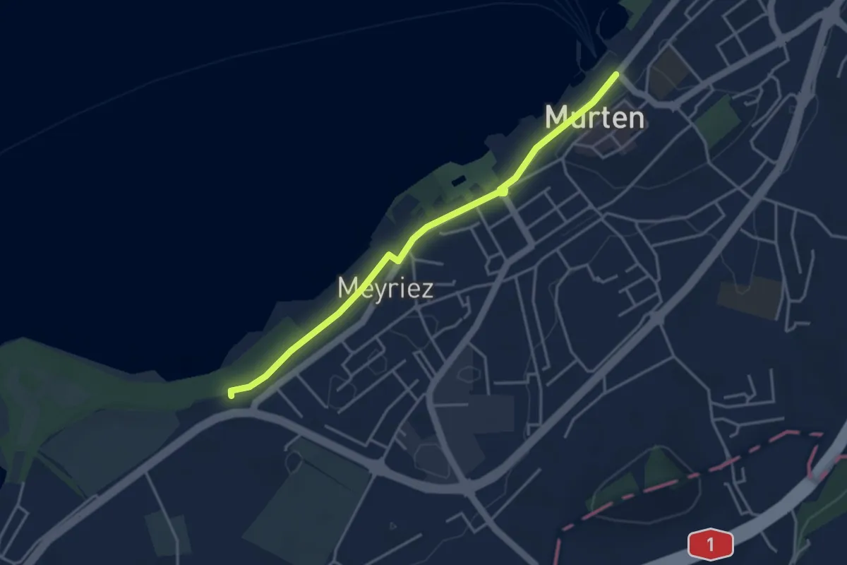
Easy · Trail
Schlacht-Denkmal
3.8 km · ↑ 9 m · 54 min · under 1 km away
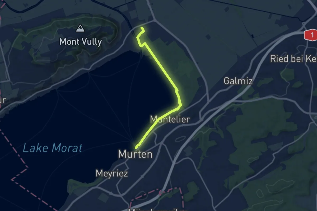
Medium · Trail
Murten Schiffstation – Sugiez gare
10.3 km · ↑ 25 m · 2 h 29 min · under 1 km away
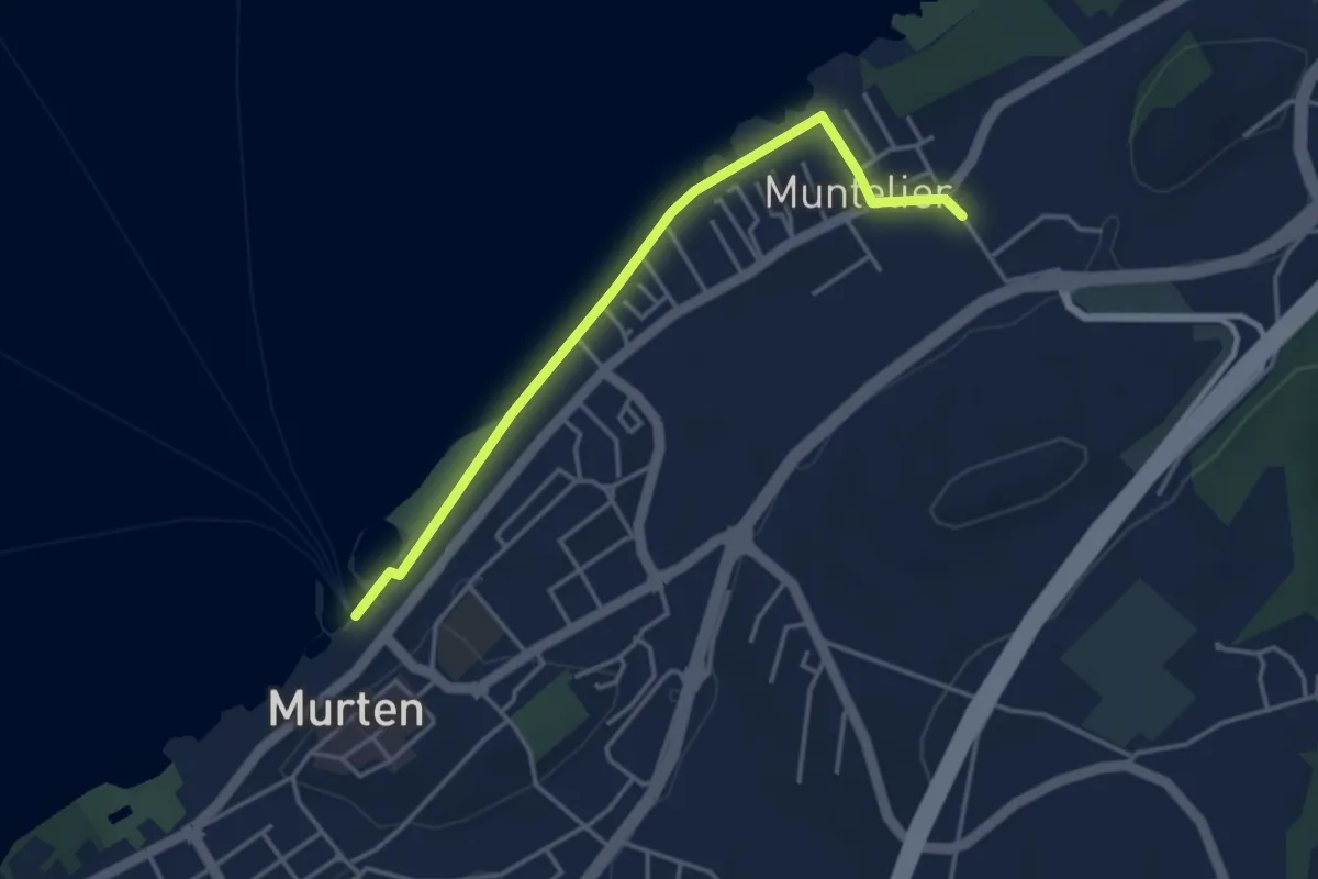
Easy · Trail
Murten Schiffstation - Muntelier-Löwenberg
3.8 km · ↑ 5 m · 54 min · under 1 km away
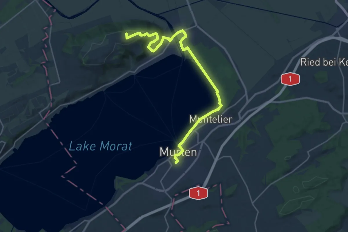
Demanding · Summit
Trans Swiss Trail
19.1 km · ↑ 313 m · 5 h 11 min · under 1 km away
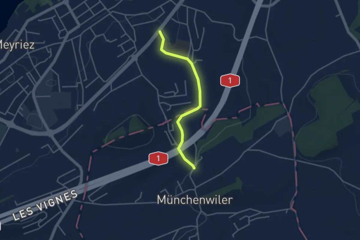
Easy · Trail
Prehl Murten – Münchenwiler Chliholz
2.8 km · ↑ 45 m · 46 min · 1 km away
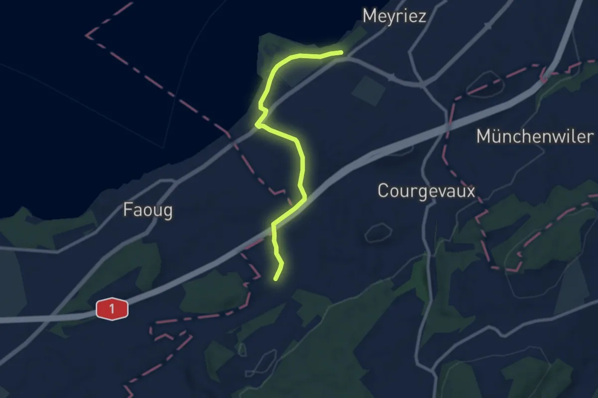
Easy · Trail
resSchlacht-Denkmal - Clavaleyer
6.8 km · ↑ 27 m · 1 h 40 min · 2 km away
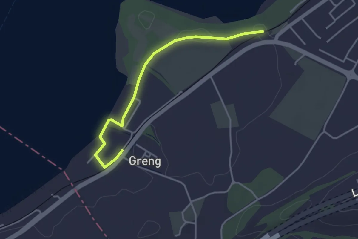
Easy · Trail
Schlacht-Denkmal - fixme
3.4 km · ↑ 13 m · 50 min · 2 km away
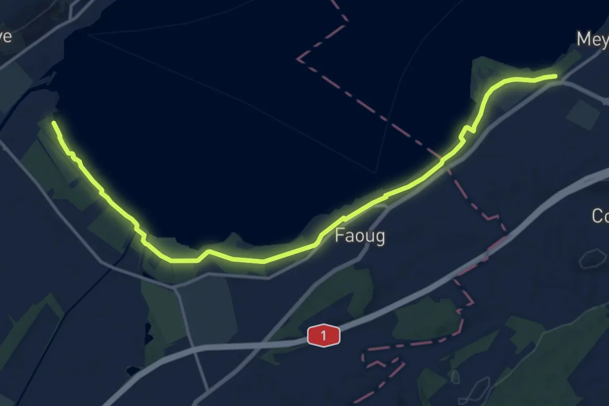
Medium · Trail
Schlacht-Denkmal - fixme
13.4 km · ↑ 31 m · 3 h 14 min · 2 km away
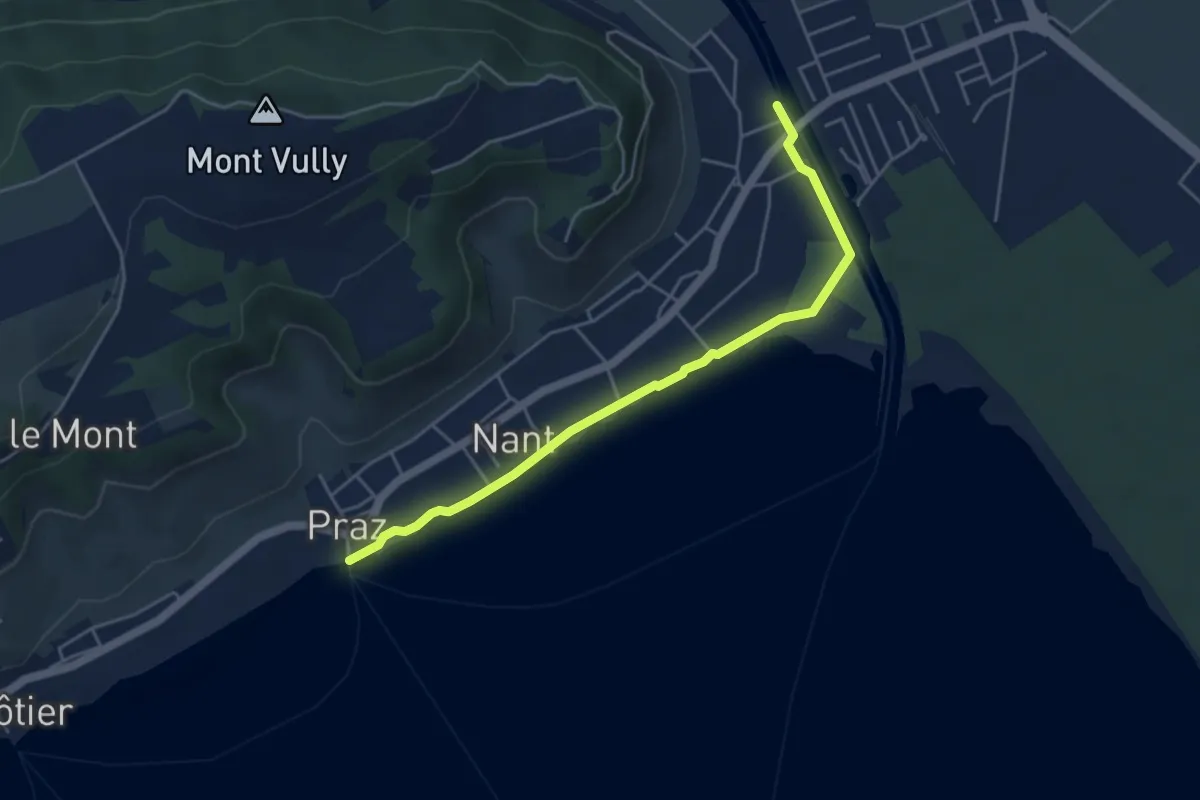
Easy · Trail
Sentier des Rives
4.7 km · ↑ 0 m · 1 h 6 min · 3 km away
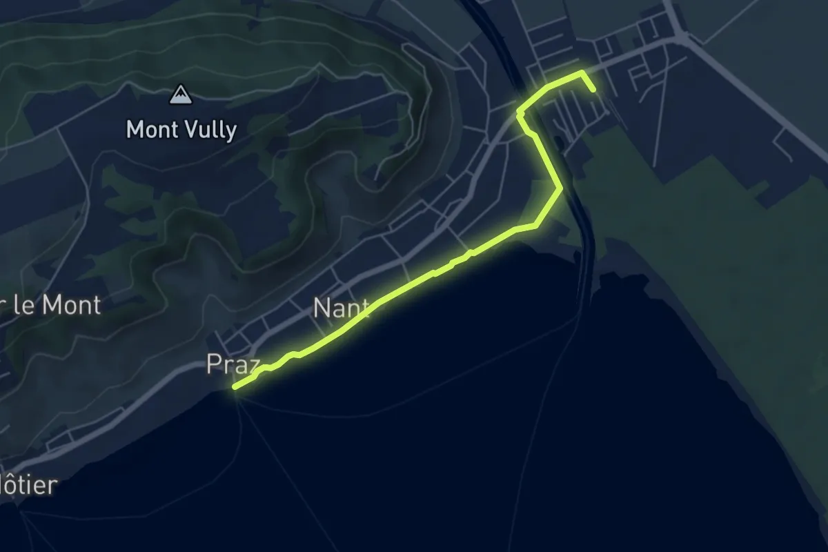
Easy · Trail
Sugiez gare – Praz Port
5.3 km · ↑ 0 m · 1 h 16 min · 3 km away
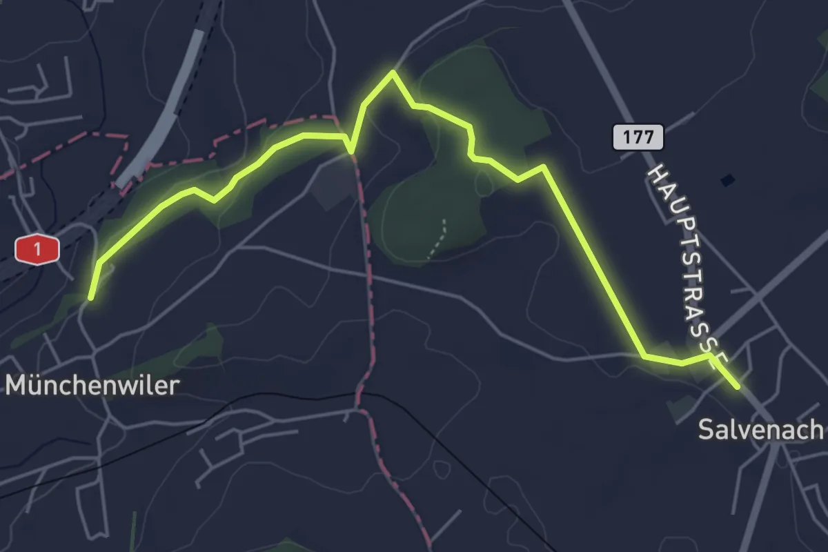
Easy · Trail
Münchenwiler Chliholz – Salvenach
5.6 km · ↑ 110 m · 1 h 33 min · 3 km away
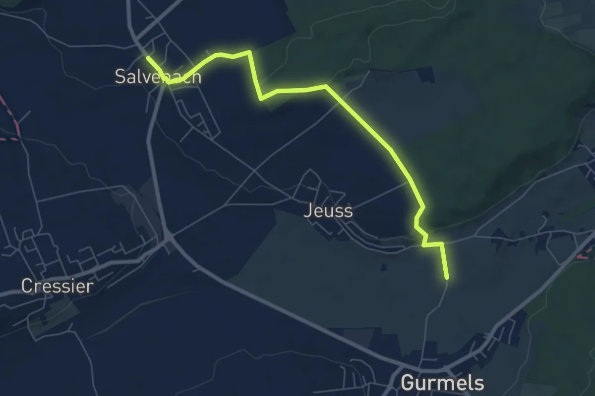
Easy · Trail
Salvenach – Bieberenächer
6.6 km · ↑ 131 m · 1 h 50 min · 3 km away
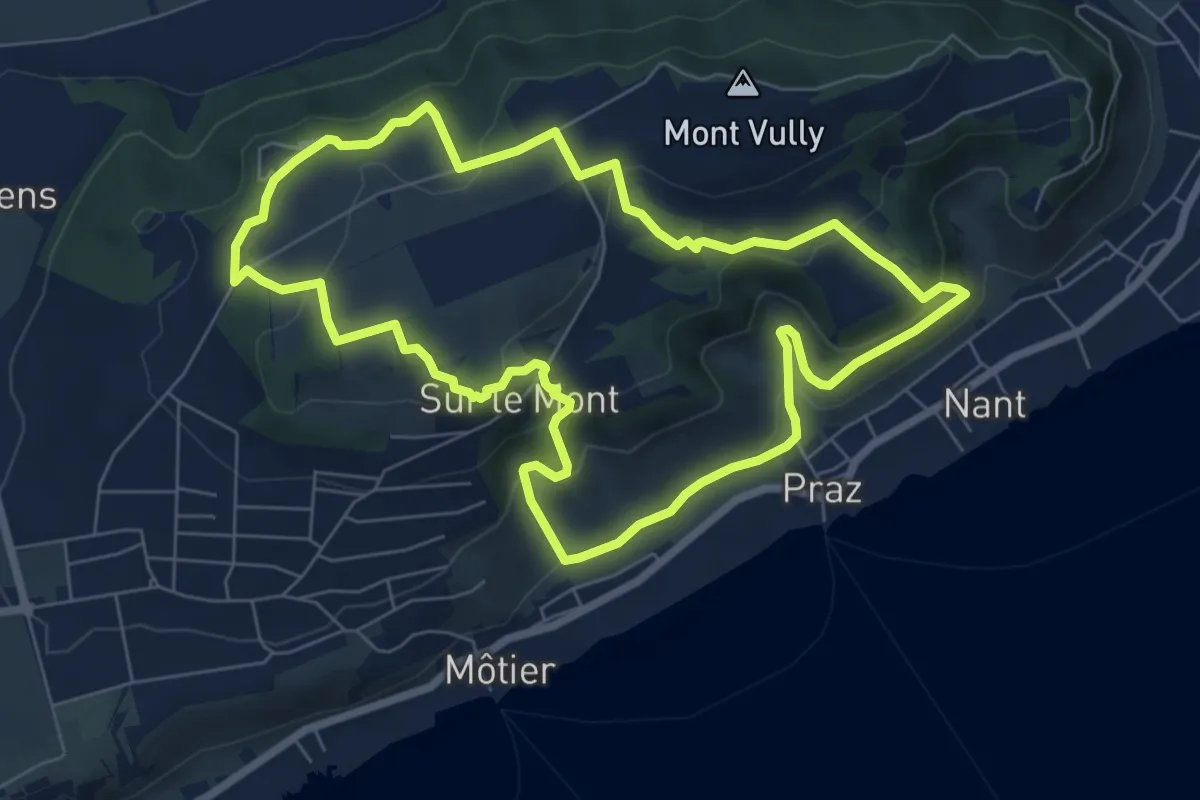
Medium · Trail
Sentier Historique du Vully
7.2 km · ↑ 290 m · 2 h 26 min · 3 km away
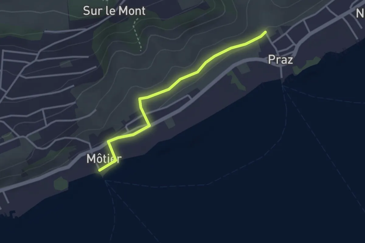
Easy · Trail
Praz – Môtier Port
2.9 km · ↑ 45 m · 47 min · 3 km away
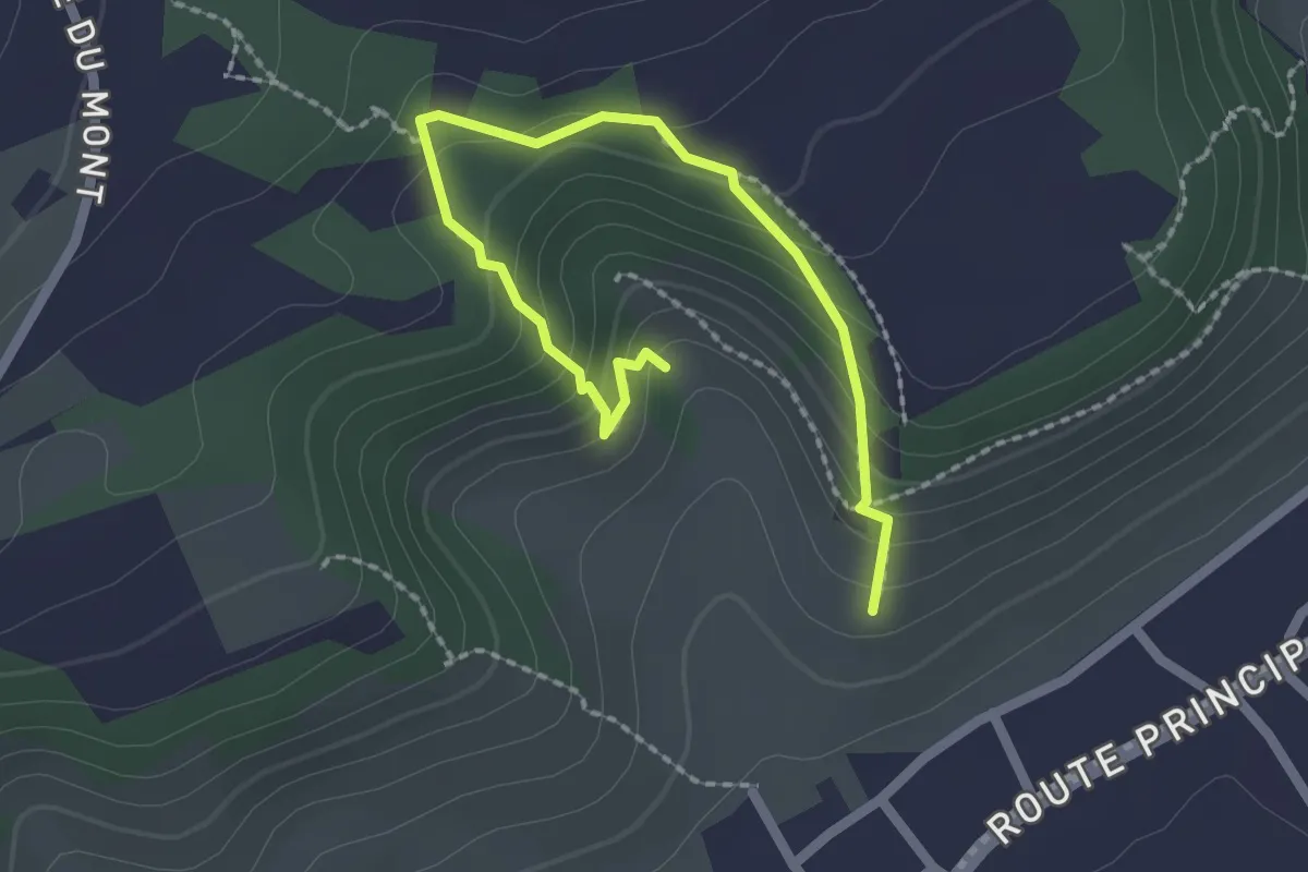
Easy · Trail
Sentier Botanique
2.5 km · ↑ 216 m · 1 h 3 min · 3 km away
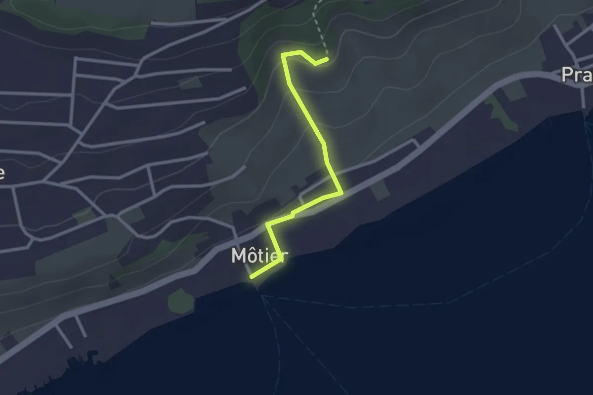
Easy · Trail
Roches Grises – Môtier Port
2.2 km · ↑ 104 m · 44 min · 4 km away
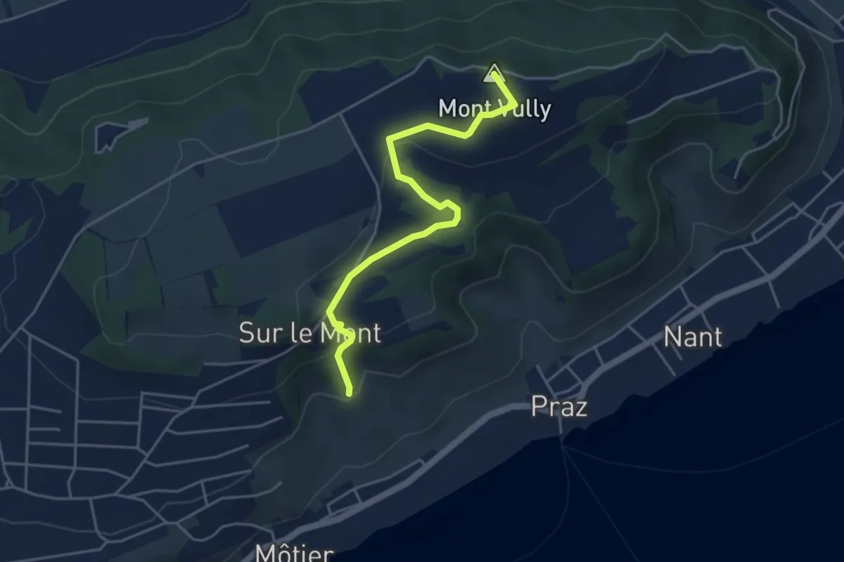
Easy · Summit
Roches Grises – Mont Vully
4.3 km · ↑ 159 m · 1 h 21 min · 4 km away
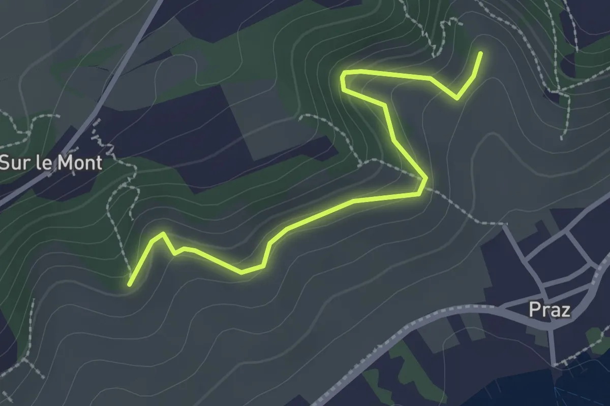
Easy · Trail
Roches Grises – Creux-de-Praz
2.6 km · ↑ 136 m · 55 min · 4 km away
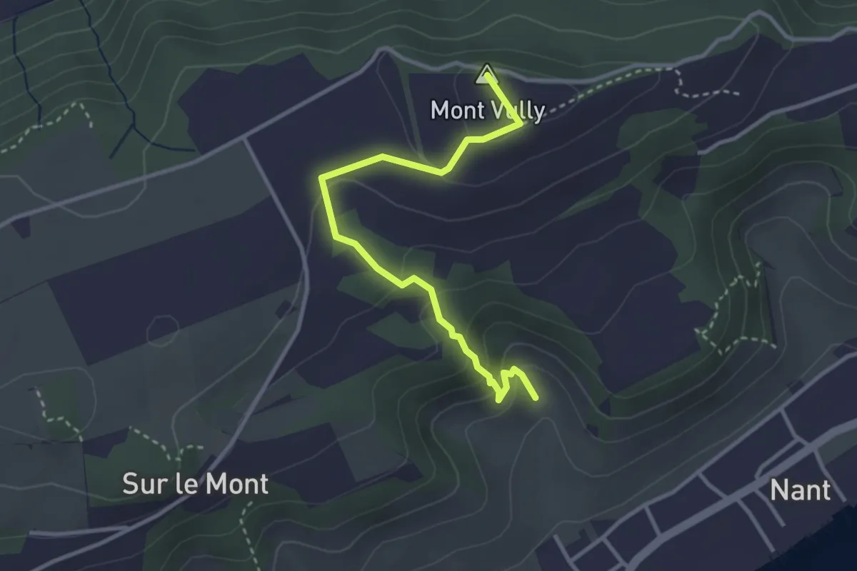
Easy · Summit
Creux-de-Praz – Mont Vully
3.2 km · ↑ 189 m · 1 h 10 min · 4 km away
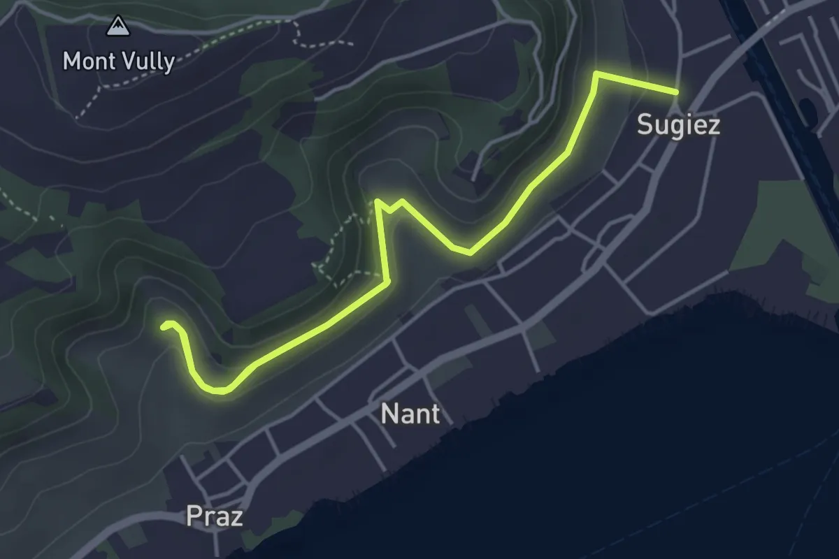
Easy · Trail
Sugiez – Creux-de-Praz
5.6 km · ↑ 265 m · 1 h 54 min · 4 km away
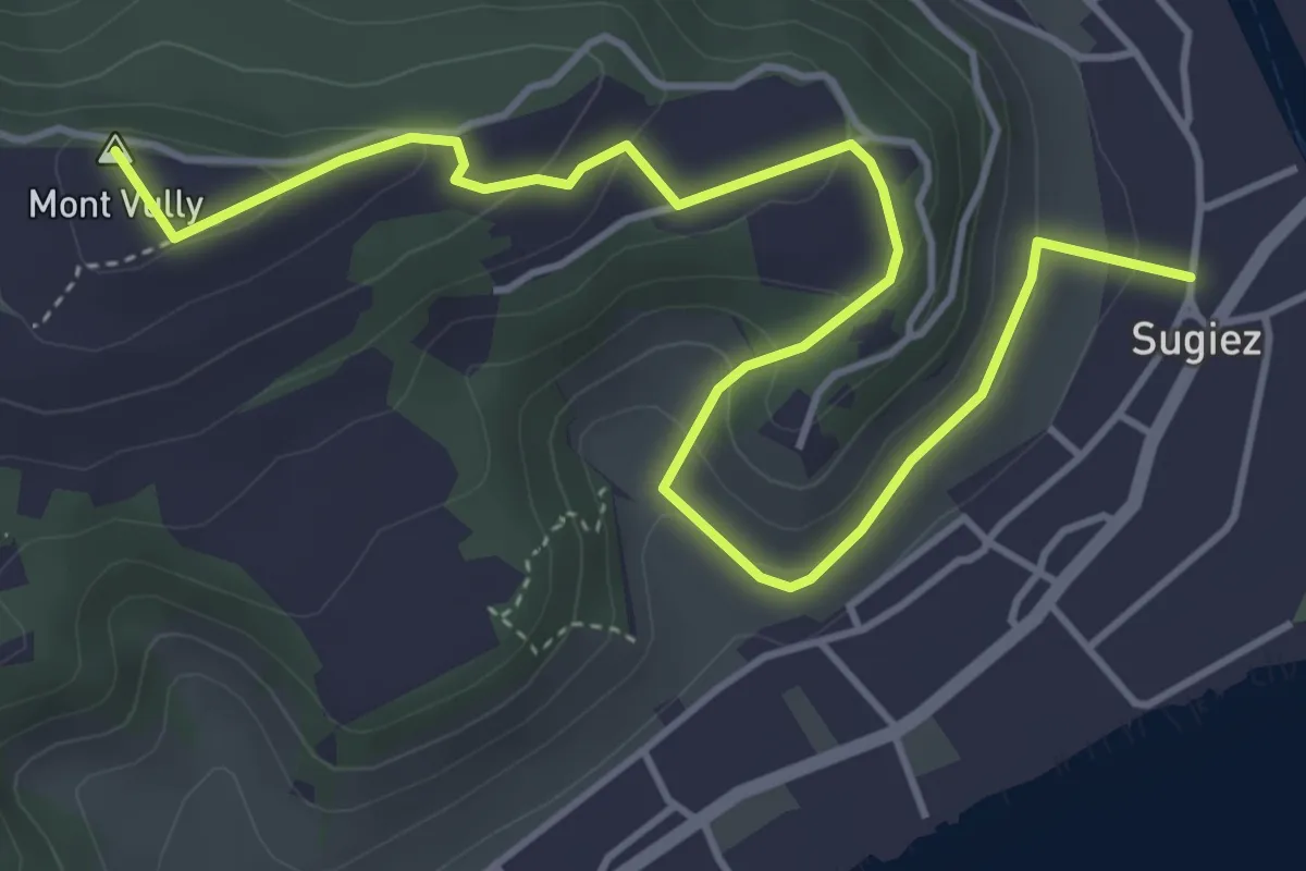
Easy · Summit
Sugiez – Mont Vully
5.6 km · ↑ 247 m · 1 h 51 min · 4 km away
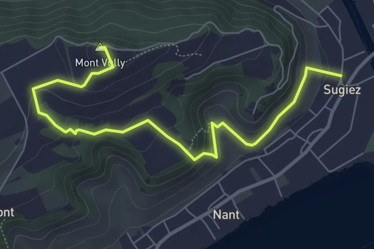
Easy · Summit
Sentier historique du Vully
6.7 km · ↑ 286 m · 2 h 12 min · 4 km away
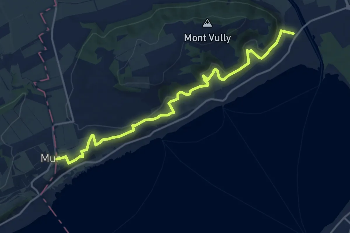
Medium · Trail
Sentier Viticole
12.3 km · ↑ 414 m · 3 h 49 min · 4 km away
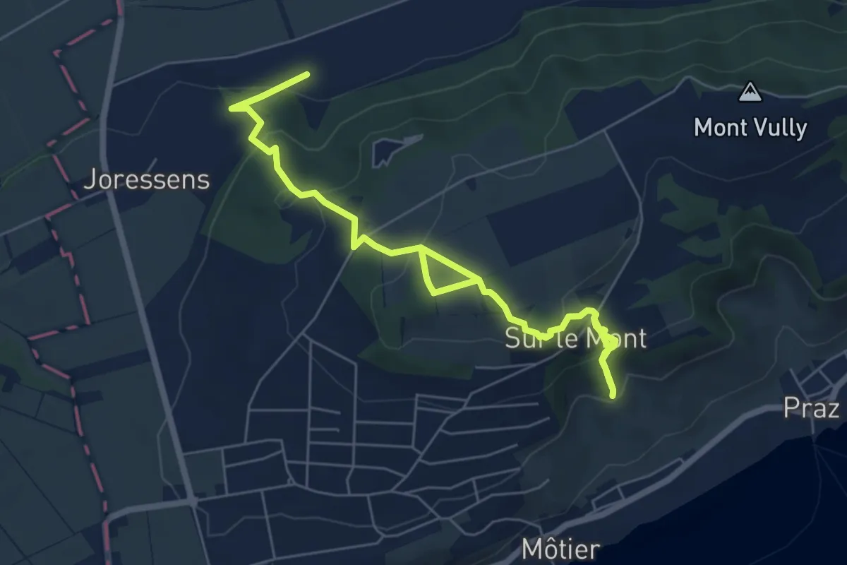
Medium · Trail
Roches Grises – La Sauge
7.9 km · ↑ 406 m · 2 h 45 min · 4 km away
Medium · Trail
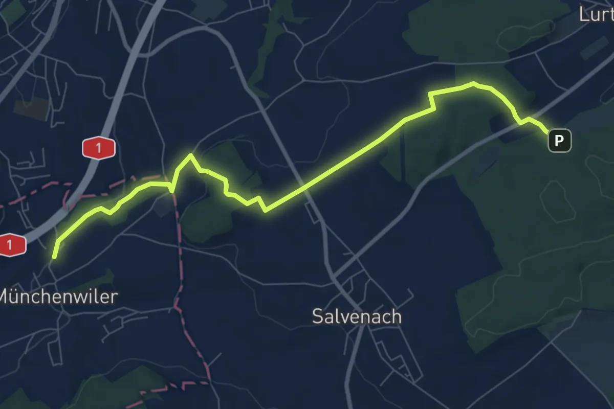
Münchenwiler Chliholz – Galmacher
8.6 km · ↑ 189 m · 2 h 26 min · 4 km away
Medium · Trail
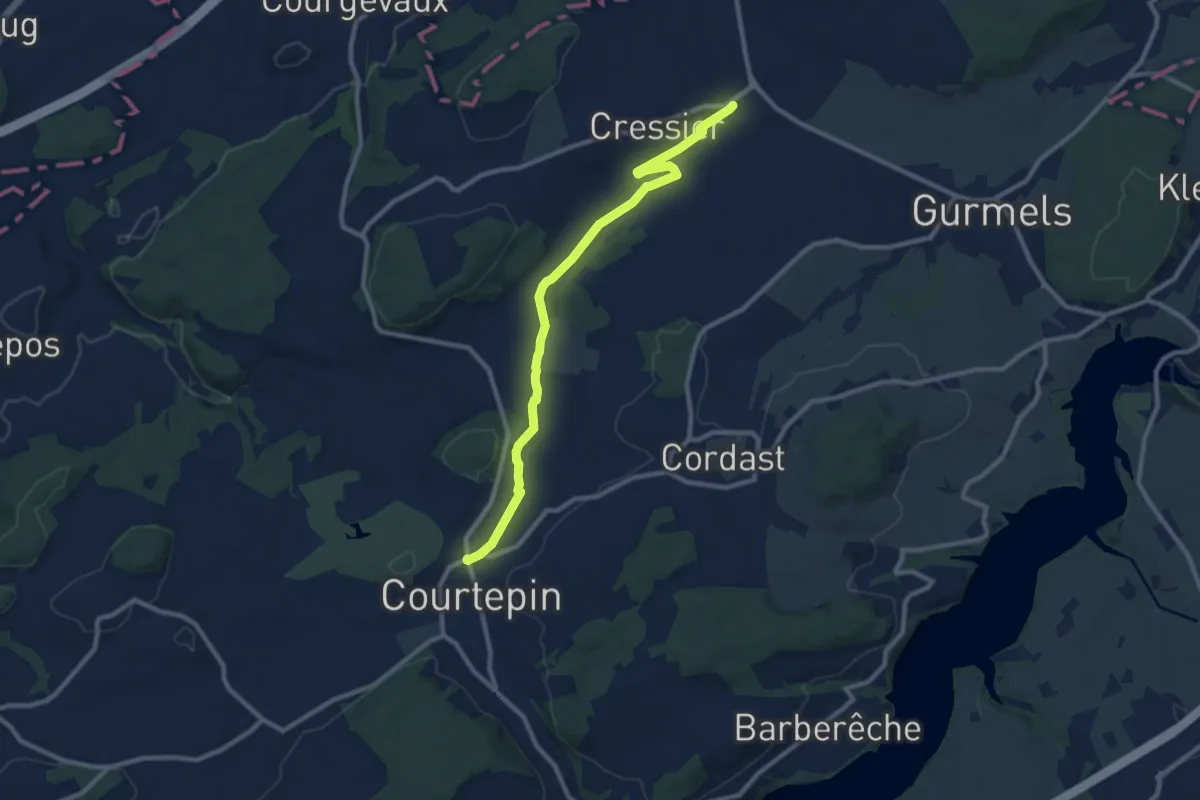
Courtepin-gare – Cressier
10.2 km · ↑ 70 m · 2 h 34 min · 4 km away
Easy · Trail
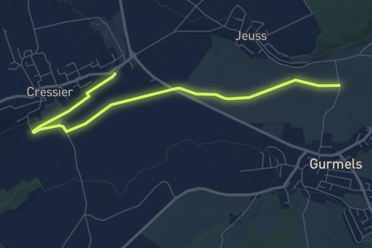
Bieberenächer – Cressier
7.8 km · ↑ 21 m · 1 h 53 min · 4 km away
Easy · Trail
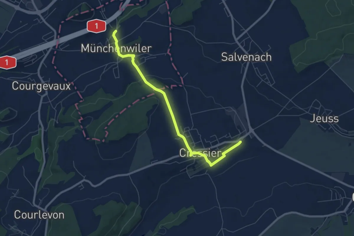
Cressier – Münchenwiler Chliholz
6.8 km · ↑ 153 m · 1 h 56 min · 4 km away
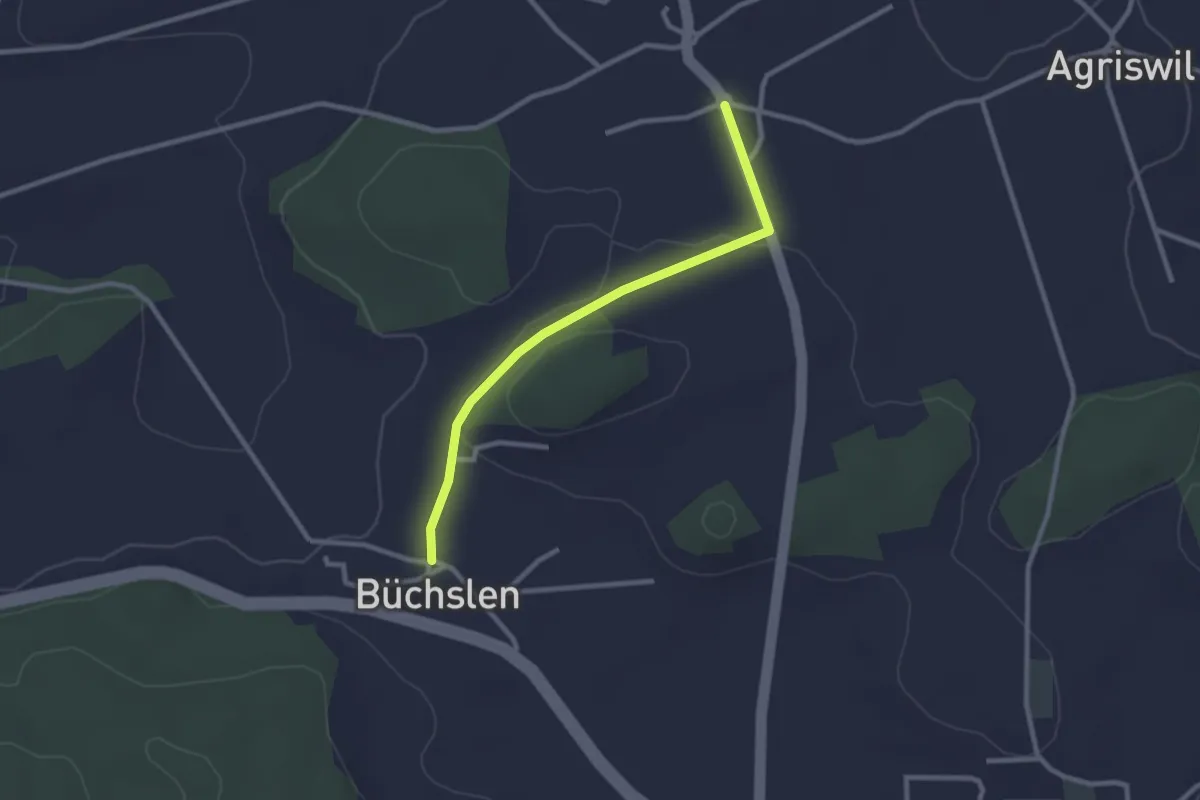
Easy · Trail
Büchslen - Ried b. Kerzers
2.5 km · ↑ 23 m · 39 min · 5 km away
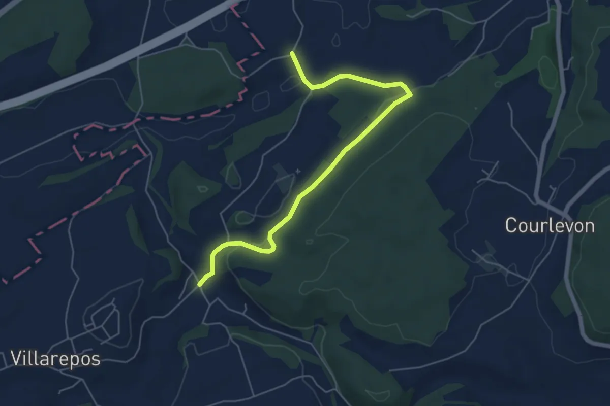
Easy · Trail
Chandossel - Clavaleyer
5.4 km · ↑ 180 m · 1 h 40 min · 5 km away
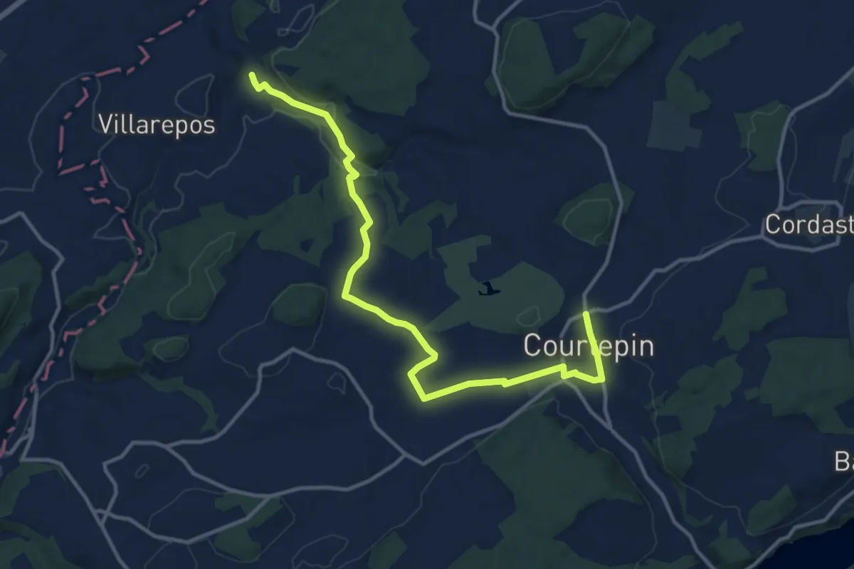
Medium · Trail
Chandossel - Courtepin Nord
13.2 km · ↑ 195 m · 3 h 32 min · 5 km away
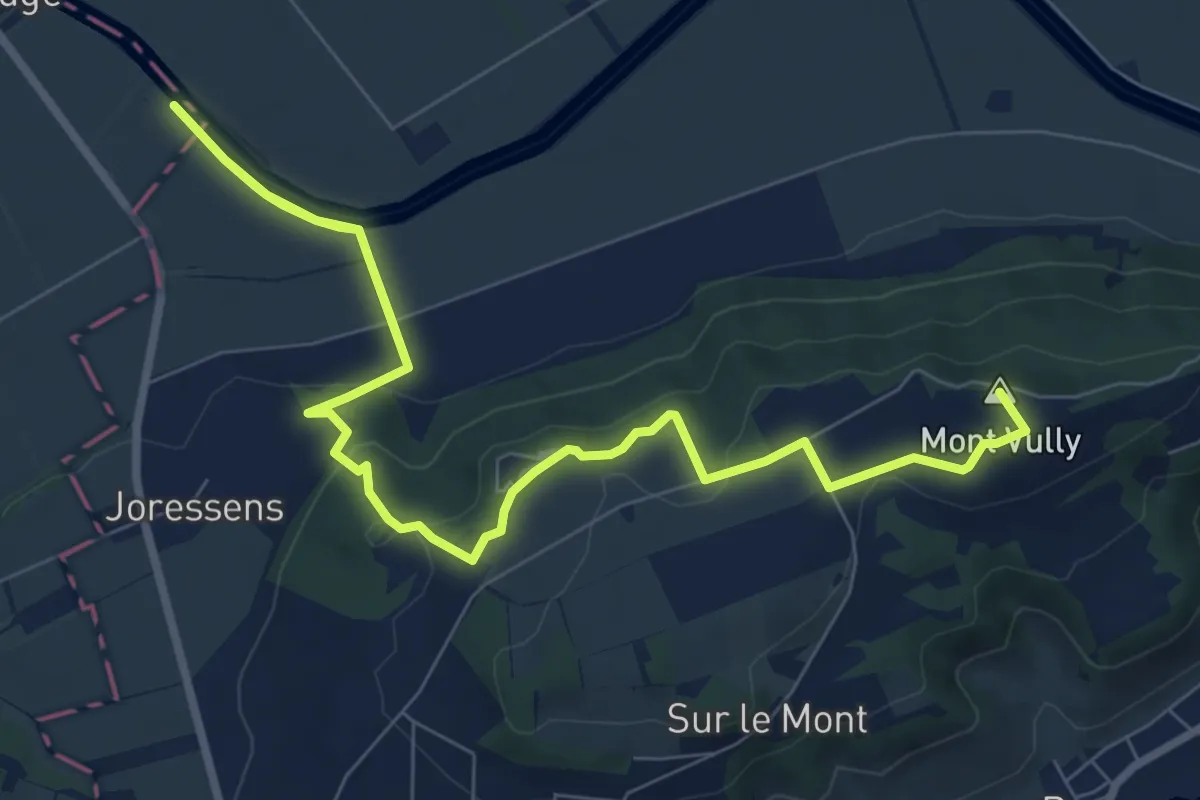
Medium · Summit
Mont Vully – La Sauge
12.1 km · ↑ 264 m · 3 h 25 min · 5 km away
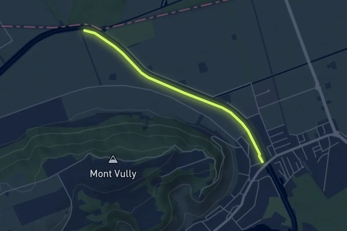
Easy · Trail
Sugiez – Pont Rotary
4.8 km · ↑ 0 m · 1 h 8 min · 6 km away
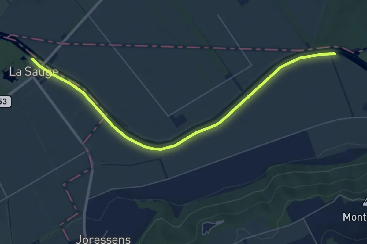
Easy · Trail
La Sauge – Pont Rotary
6.6 km · ↑ 0 m · 1 h 33 min · 6 km away
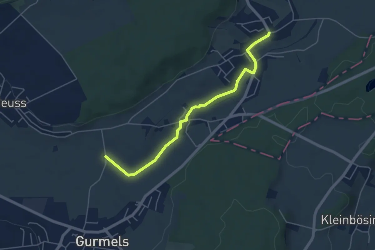
Easy · Trail
Liebistorf – Biberenächer
4.4 km · ↑ 25 m · 1 h 6 min · 6 km away
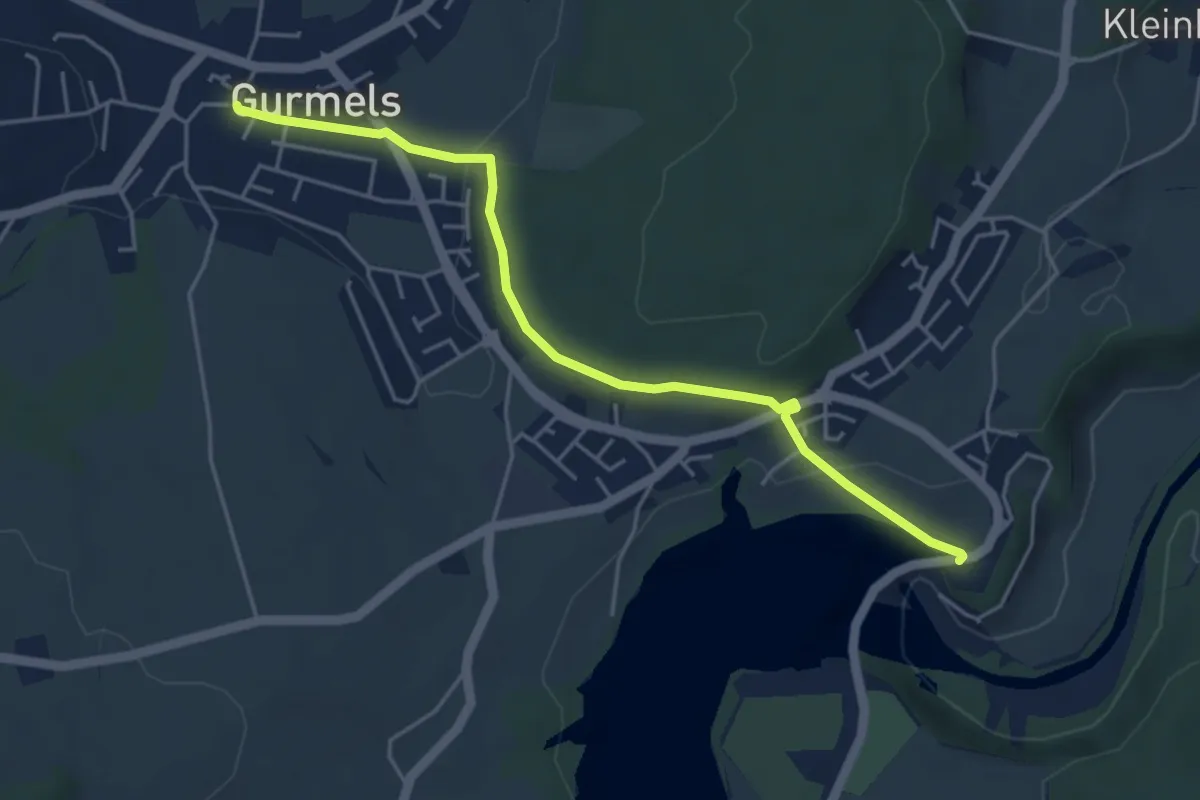
Easy · Trail
Schiffenen / Staumauer – Gurmels
4.7 km · ↑ 84 m · 1 h 17 min · 6 km away
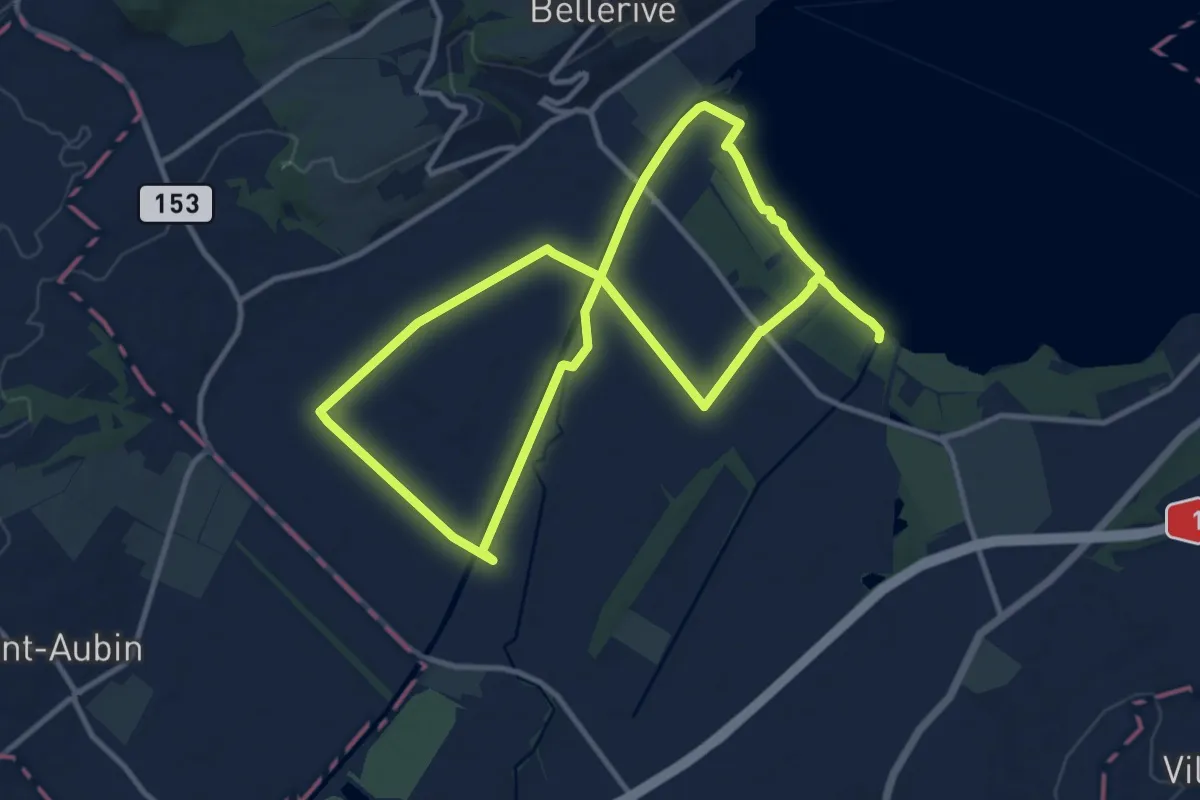
Demanding · Trail
Sentier Au fil de l'eau
20.8 km · ↑ 26 m · 4 h 58 min · 6 km away
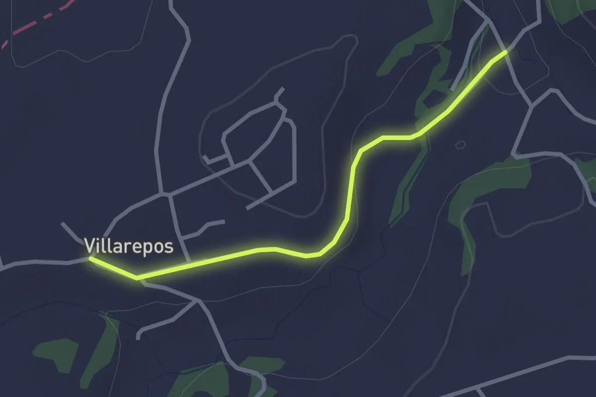
Easy · Trail
Villarepos - Chandossel
2.4 km · ↑ 29 m · 37 min · 6 km away
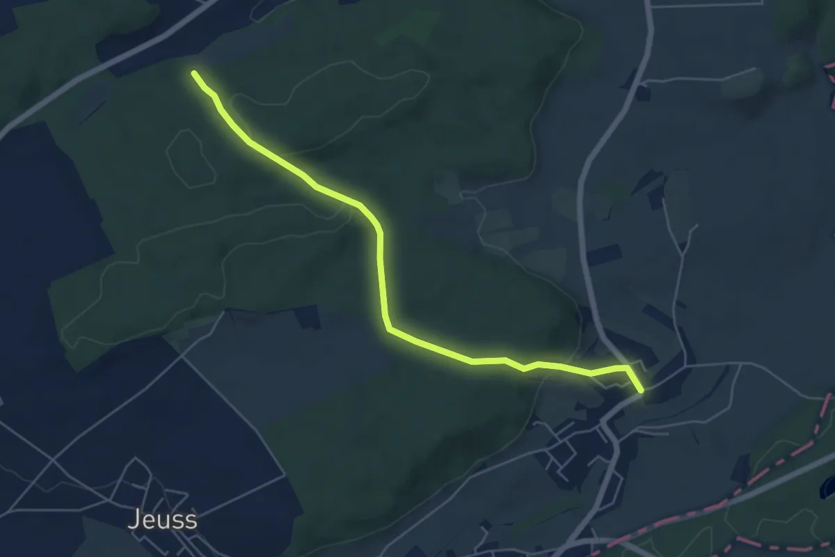
Easy · Trail
Galmacher – Liebistorf
5.6 km · ↑ 134 m · 1 h 37 min · 6 km away
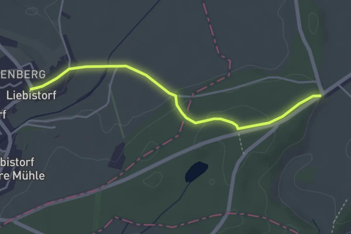
Easy · Trail
Liebistorf – Röseli
3.5 km · ↑ 95 m · 1 h 2 min · 6 km away
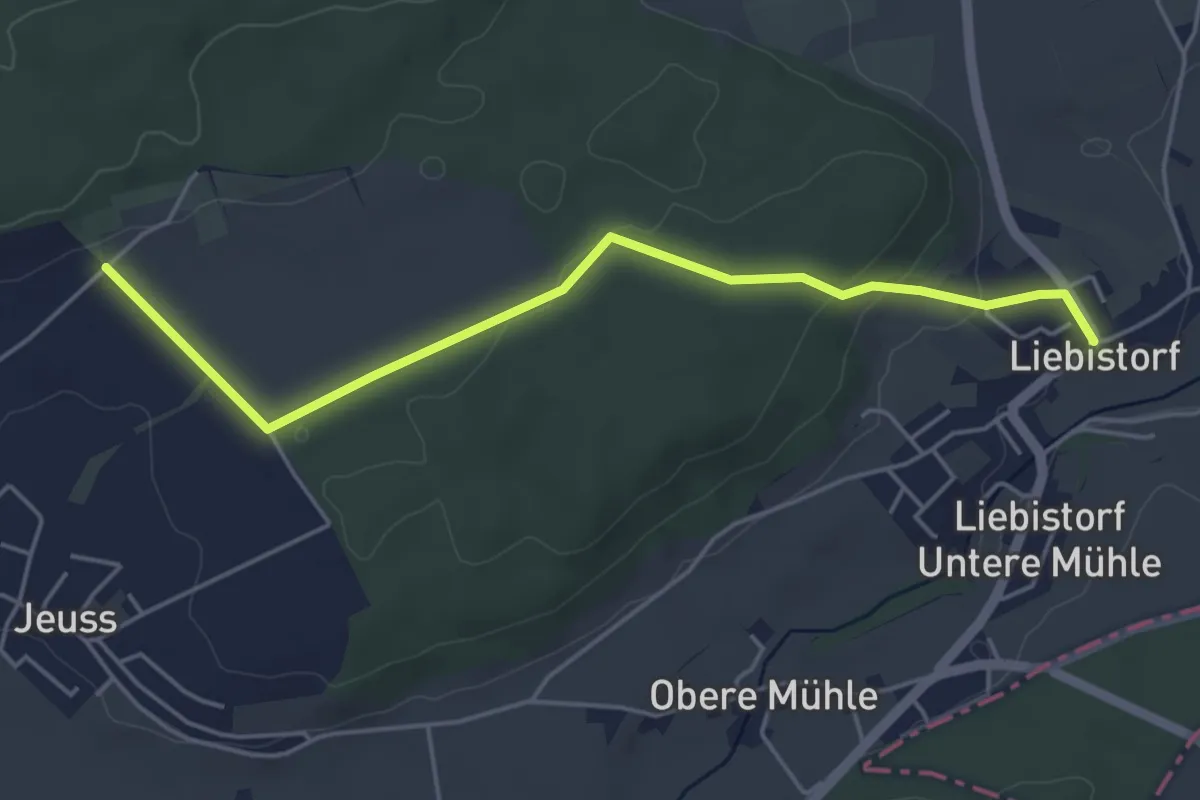
Easy · Trail
Galmguet – Liebistorf
4.8 km · ↑ 104 m · 1 h 22 min · 6 km away
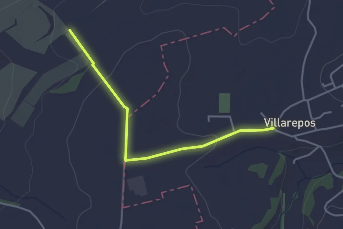
Easy · Trail
Villarepos - La Porte de l'Est
3.1 km · ↑ 54 m · 51 min · 6 km away
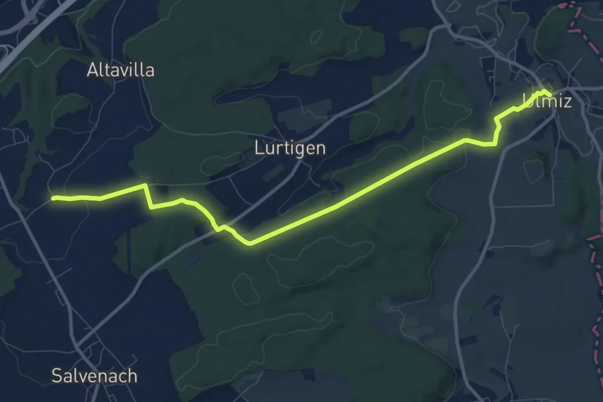
Medium · Trail
Oberburg - Ulmiz
10.0 km · ↑ 199 m · 2 h 48 min · 6 km away
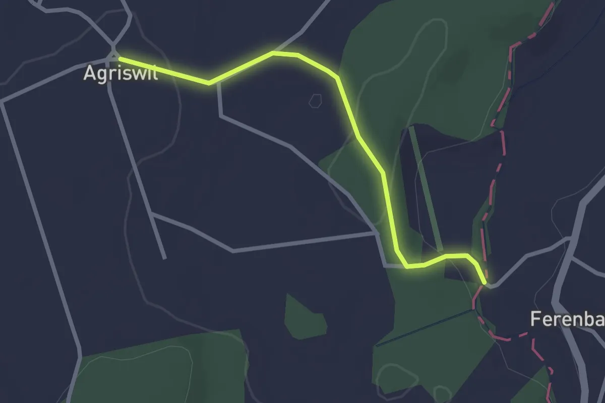
Easy · Trail
Agriswil - Ferenbalm/Sägerei
2.4 km · ↑ 61 m · 42 min · 7 km away
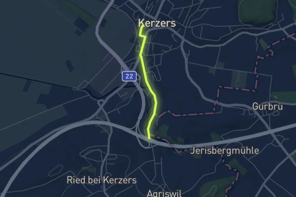
Easy · Trail
Kerzers - Stämpflerei/Mühle
3.4 km · ↑ 14 m · 51 min · 7 km away
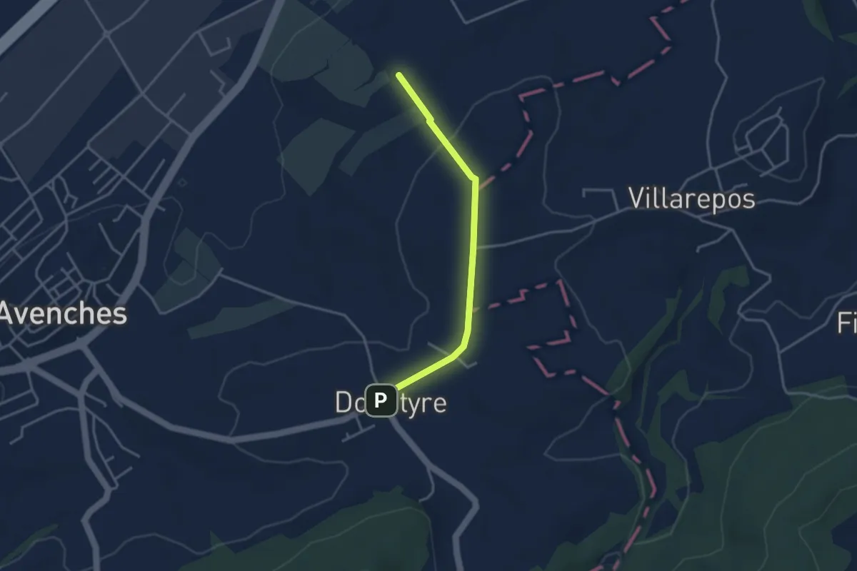
Easy · Trail
La Porte de l'Est - Donatyre
3.1 km · ↑ 36 m · 48 min · 7 km away
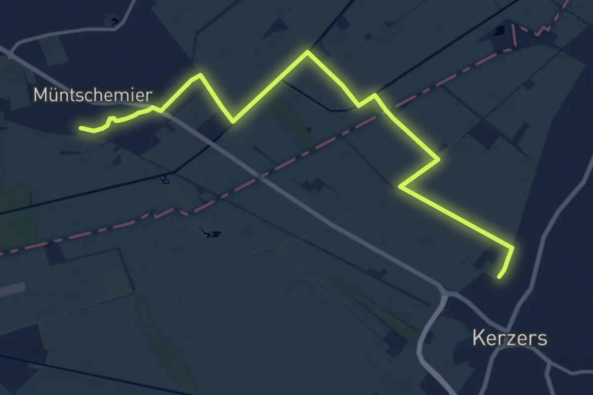
Medium · Trail
Müntschemier – Kerzers
13.0 km · ↑ 8 m · 3 h 6 min · 7 km away
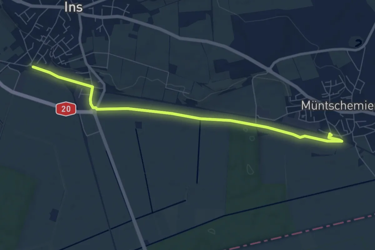
Easy · Trail
Müntschemier – Ins
7.9 km · ↑ 27 m · 1 h 55 min · 7 km away