Trails near Murten
251 hikes starting within 15 km, nearest first.
Nearest first, page 2 of 6
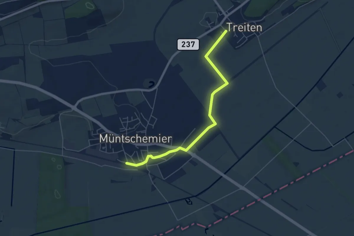
Easy · Trail
Müntschemier – Treiten
5.7 km · ↑ 4 m · 1 h 21 min · 7 km away
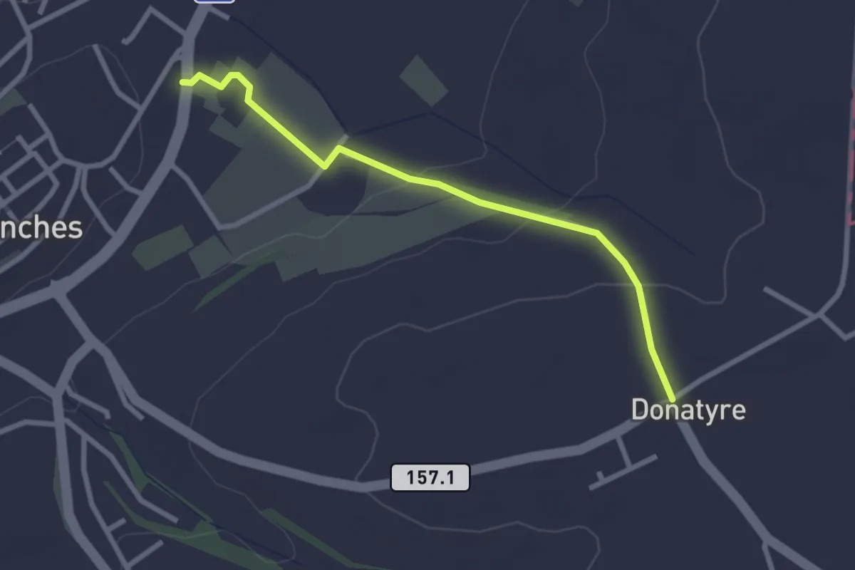
Easy · Trail
Avenches - Donatyre
2.6 km · ↑ 58 m · 44 min · 8 km away
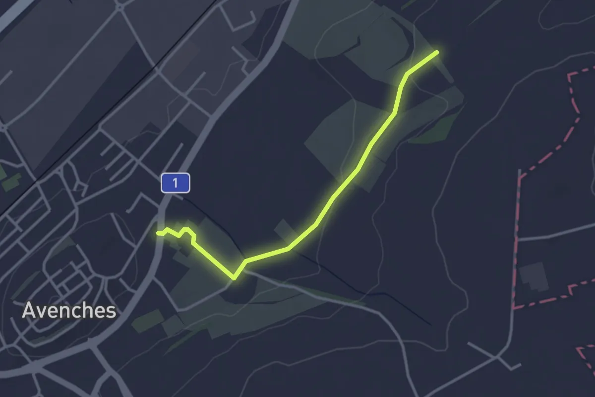
Easy · Trail
La Porte de l'Est - Le Cigognier
3.0 km · ↑ 37 m · 47 min · 8 km away
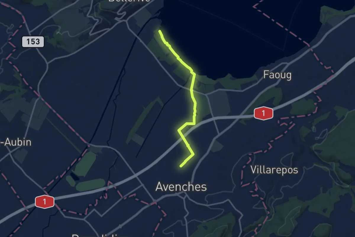
Medium · Trail
Avenches - fixme
9.1 km · ↑ 17 m · 2 h 11 min · 8 km away
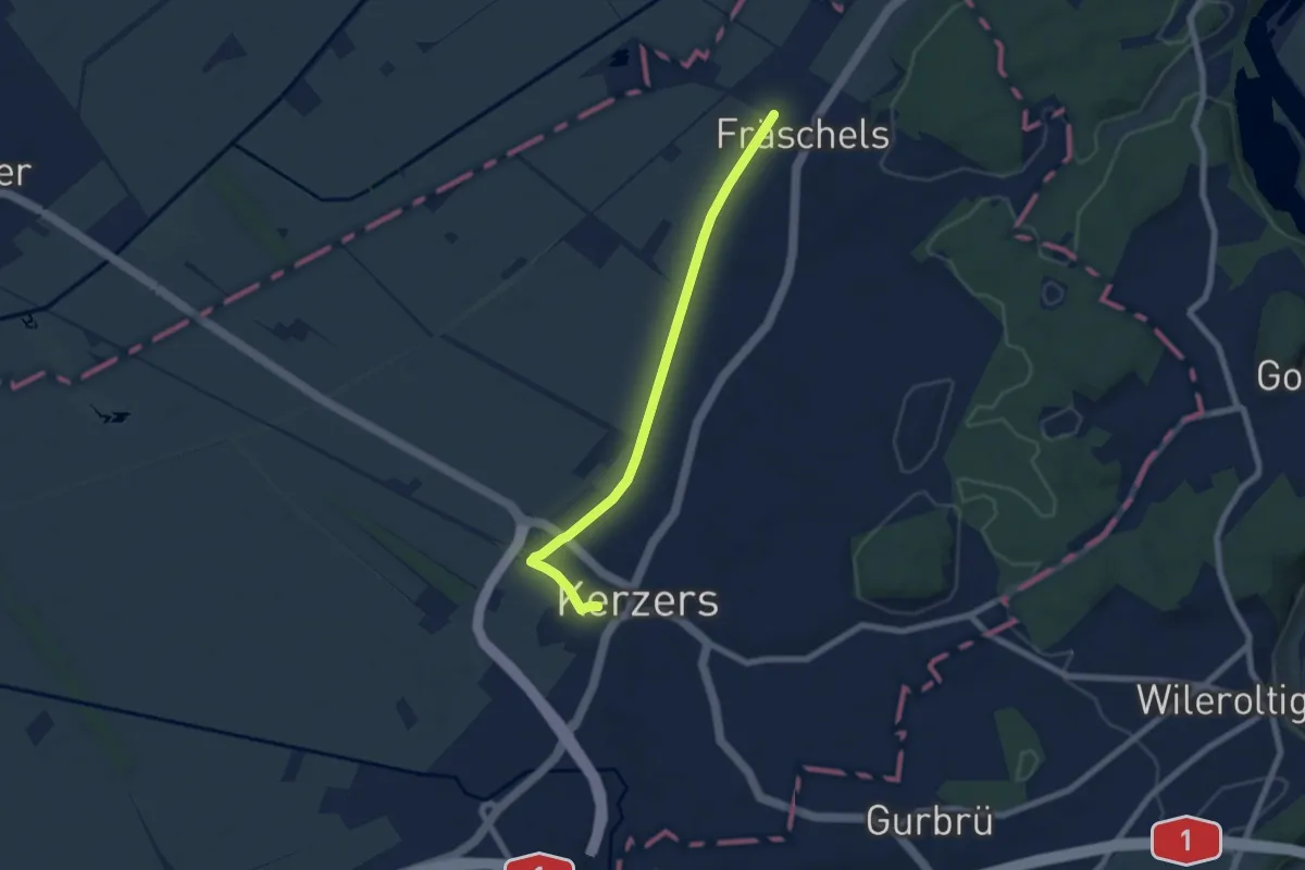
Easy · Trail
Fräschels – Kerzers
6.5 km · ↑ 8 m · 1 h 34 min · 8 km away
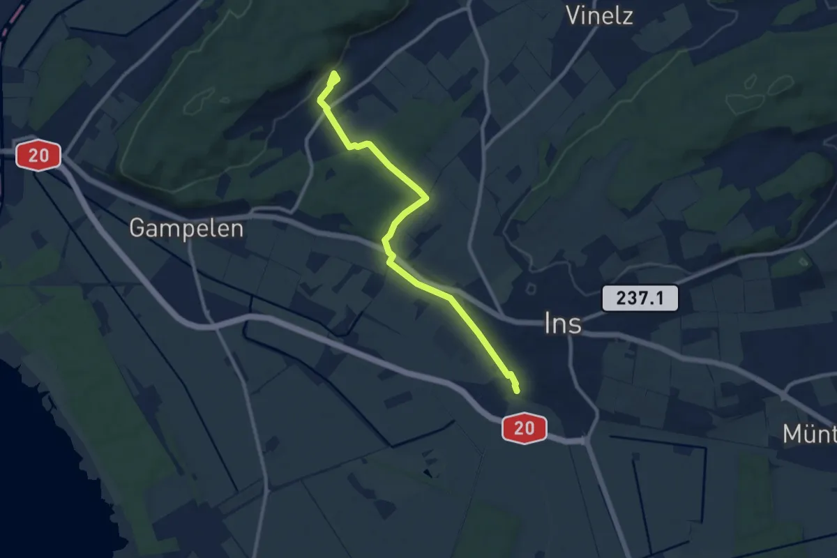
Medium · Trail
Ins – Tschugg
9.4 km · ↑ 72 m · 2 h 22 min · 8 km away
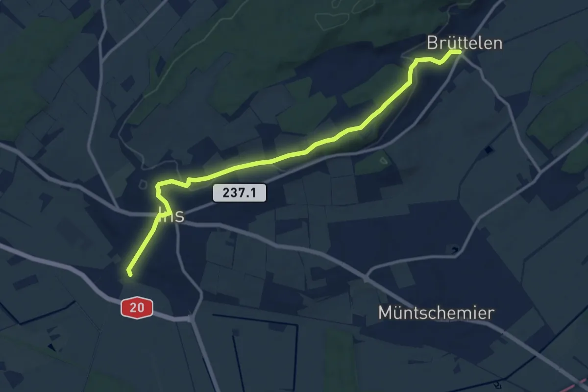
Medium · Trail
Ins – Brüttelen
10.4 km · ↑ 209 m · 2 h 54 min · 8 km away
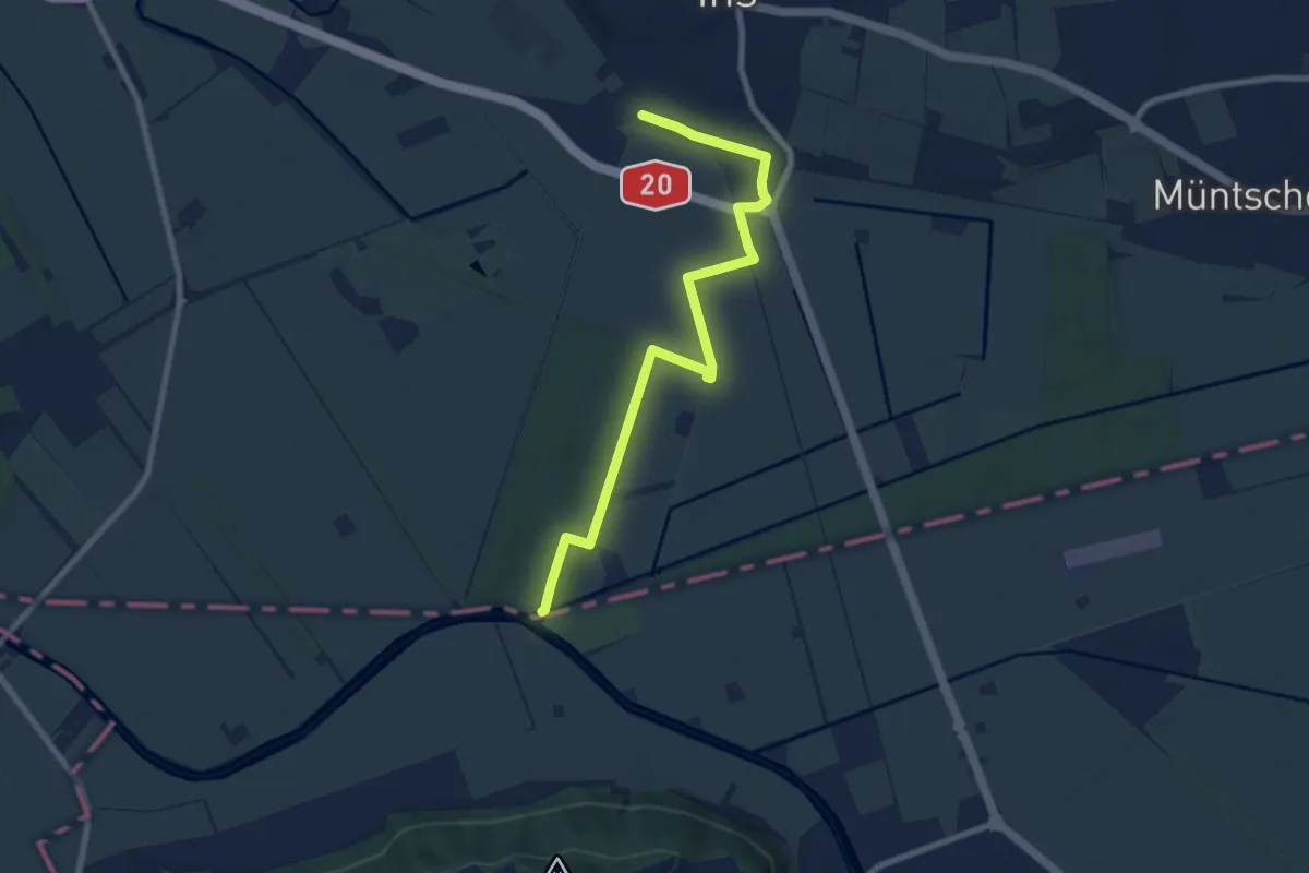
Medium · Trail
Ins – Les Trois Lacs
8.6 km · ↑ 52 m · 2 h 8 min · 8 km away
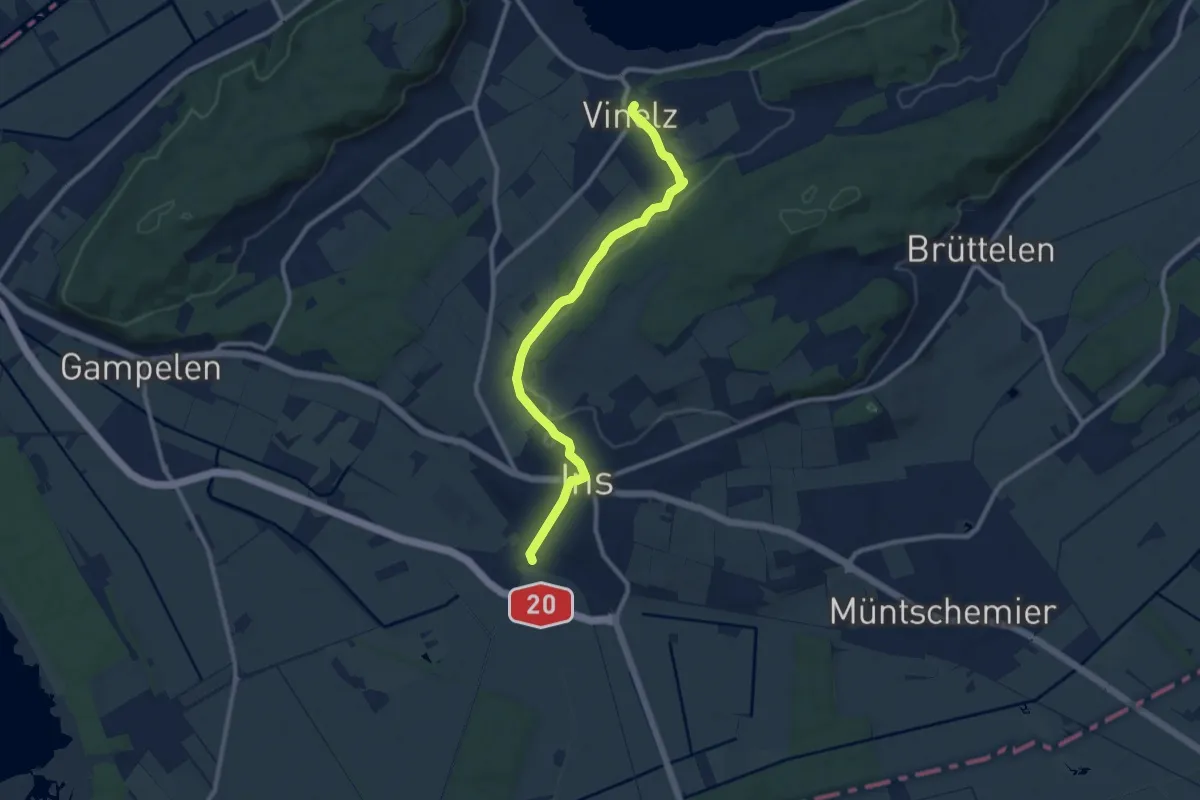
Medium · Trail
Ins – Vinelz
9.9 km · ↑ 199 m · 2 h 46 min · 8 km away
Easy · Trail
Ins – Les Trois Lacs
7.8 km · ↑ 47 m · 1 h 56 min · 8 km away
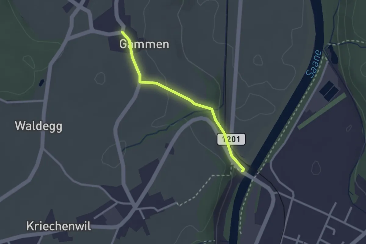
Easy · Trail
Gammen – Saanebrücke
2.0 km · ↑ 42 m · 34 min · 8 km away
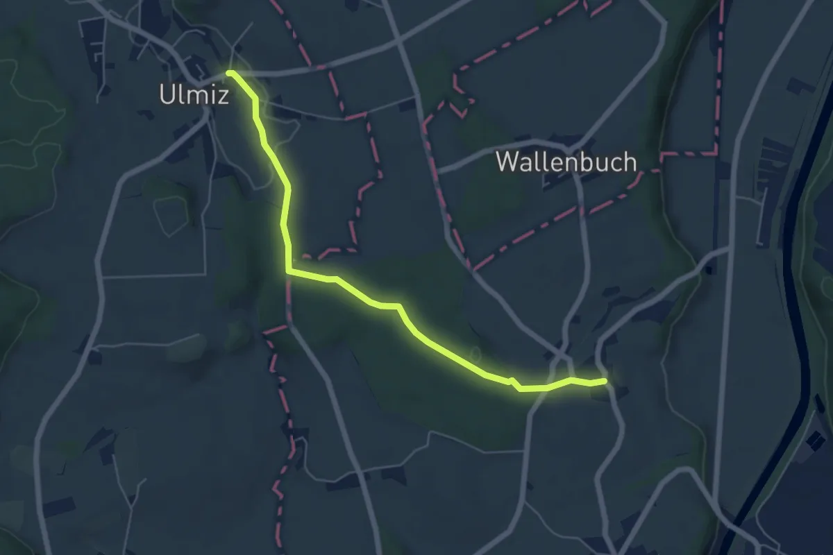
Easy · Trail
Ulmiz – Gammen
5.6 km · ↑ 74 m · 1 h 29 min · 8 km away
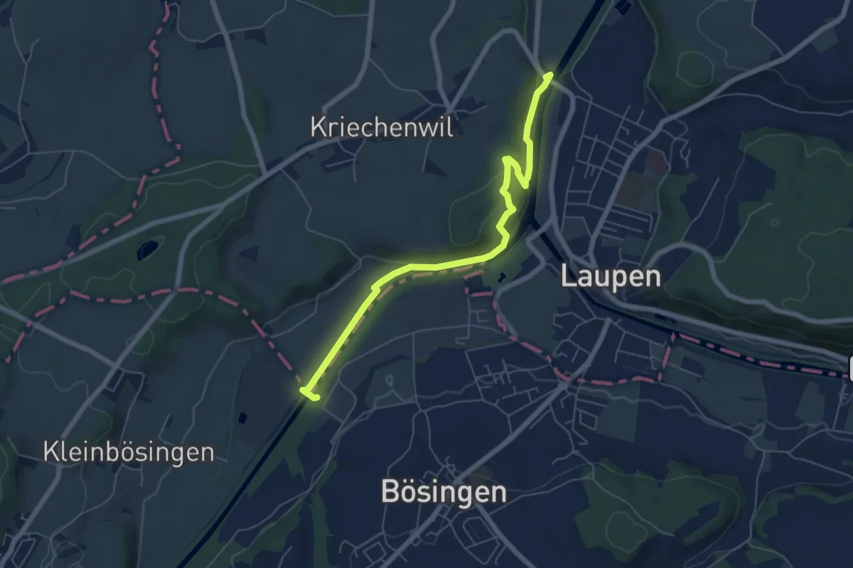
Easy · Trail
Saanebrücke – Auriedsteg
6.1 km · ↑ 177 m · 1 h 50 min · 8 km away
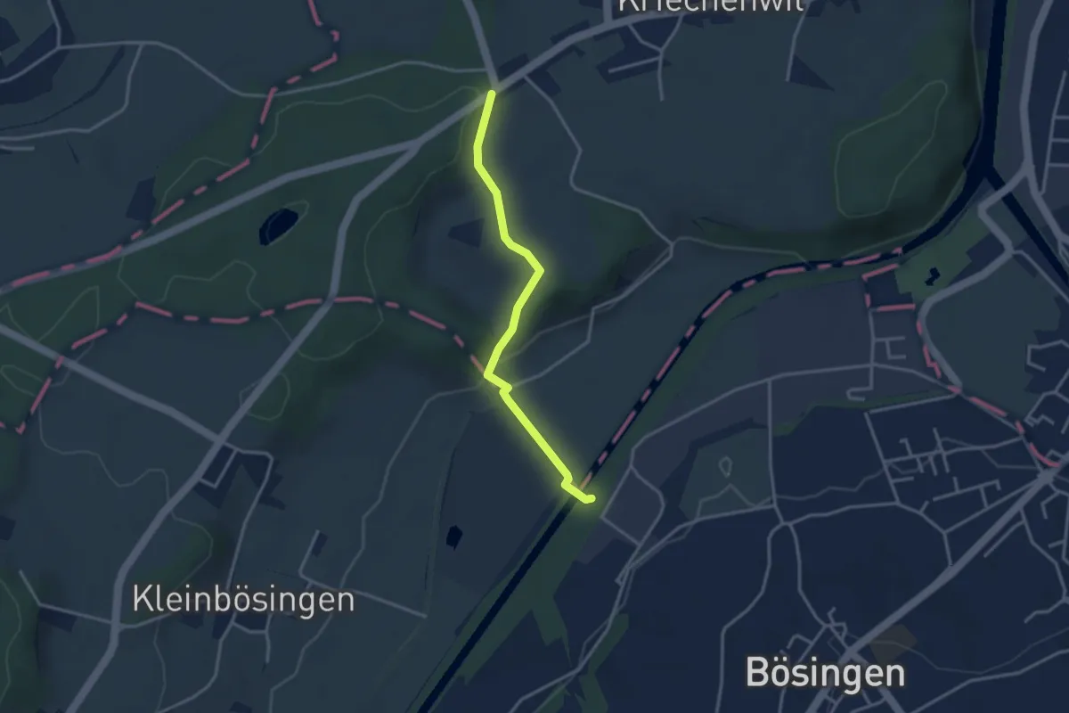
Easy · Trail
Röseli – Auriedsteg
3.0 km · ↑ 63 m · 51 min · 8 km away
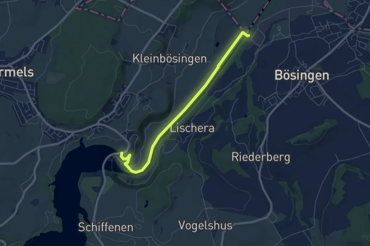
Easy · Trail
Schiffenen / Staumauer - Auriedsteg
6.0 km · ↑ 66 m · 1 h 34 min · 8 km away
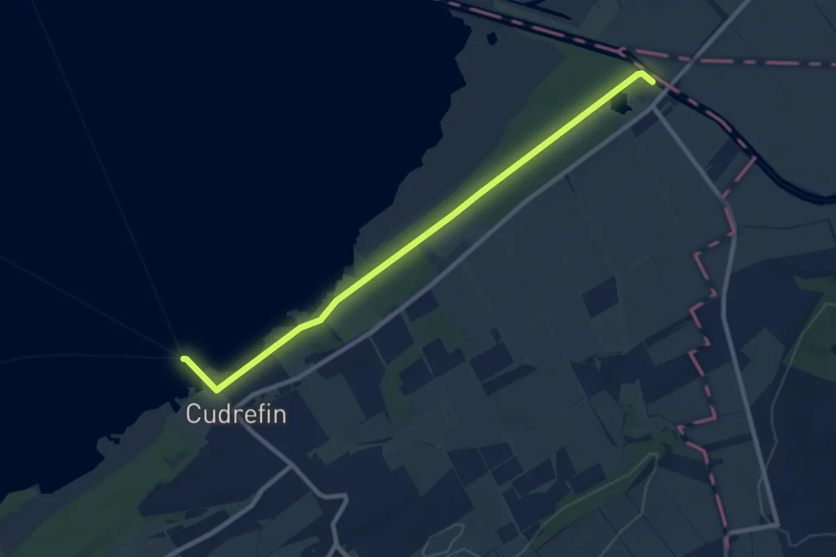
Easy · Trail
La Sauge – Cudrefin
7.8 km · ↑ 32 m · 1 h 54 min · 8 km away
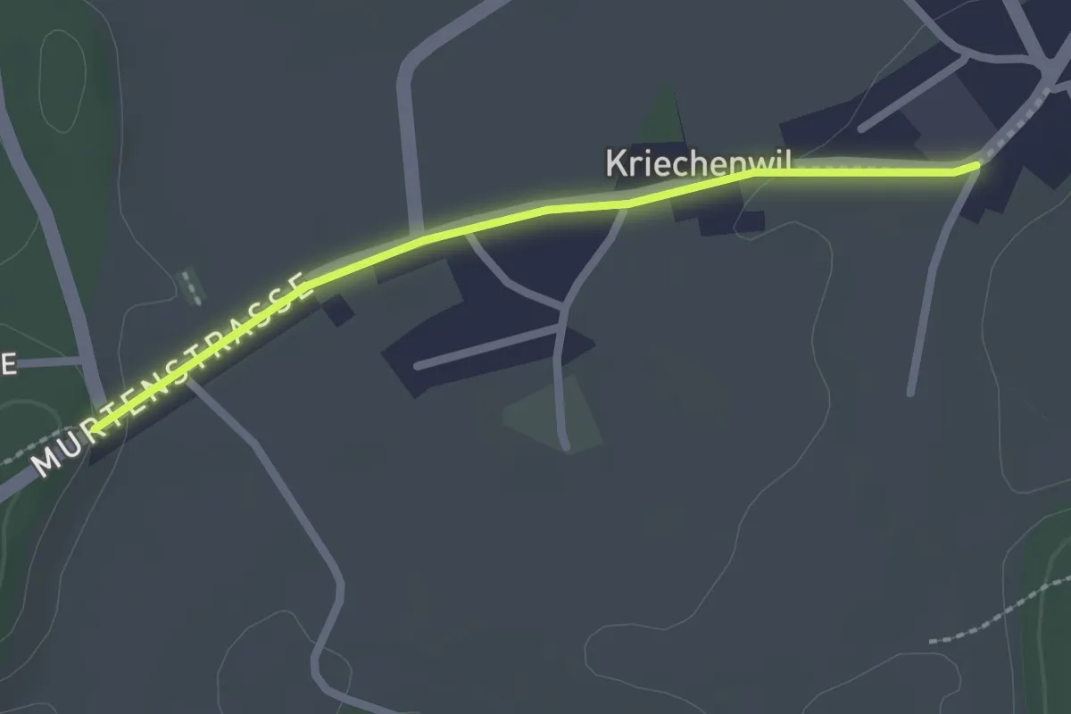
Easy · Trail
Kriechenwil – Röseli
2.1 km · ↑ 18 m · 32 min · 9 km away
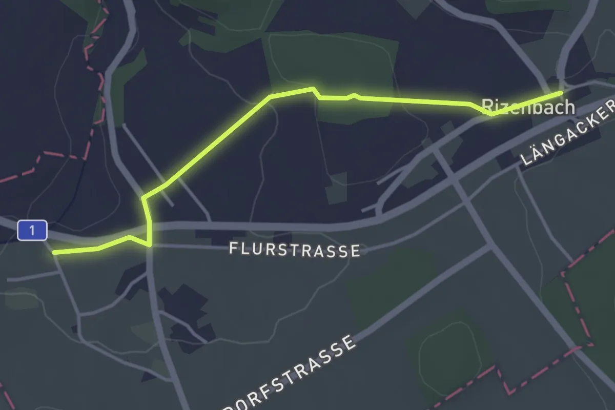
Easy · Trail
Biberen/Mühle - Rizenbach
3.6 km · ↑ 63 m · 1 h · 9 km away
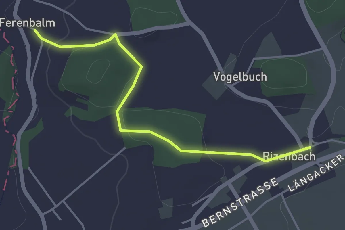
Easy · Trail
Ferenbalm Kirche - Rizenbach
3.7 km · ↑ 88 m · 1 h 4 min · 9 km away
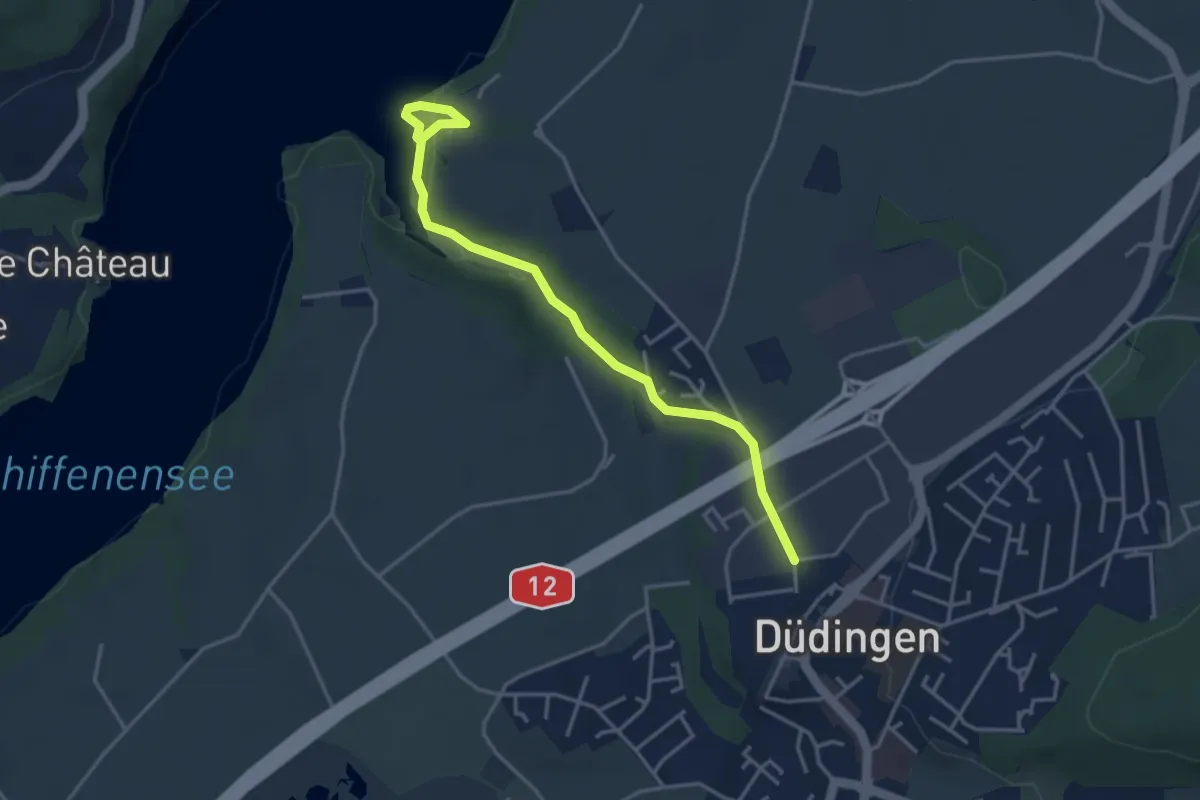
Easy · Trail
Düdingen - Felliwil
3.9 km · ↑ 90 m · 1 h 8 min · 9 km away
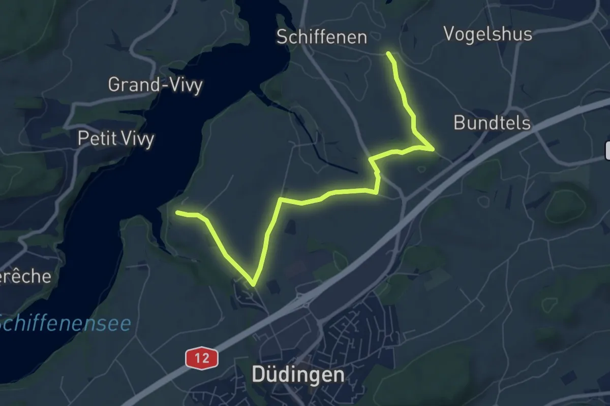
Medium · Trail
Felliwil - Schlattli
8.1 km · ↑ 82 m · 2 h 6 min · 9 km away
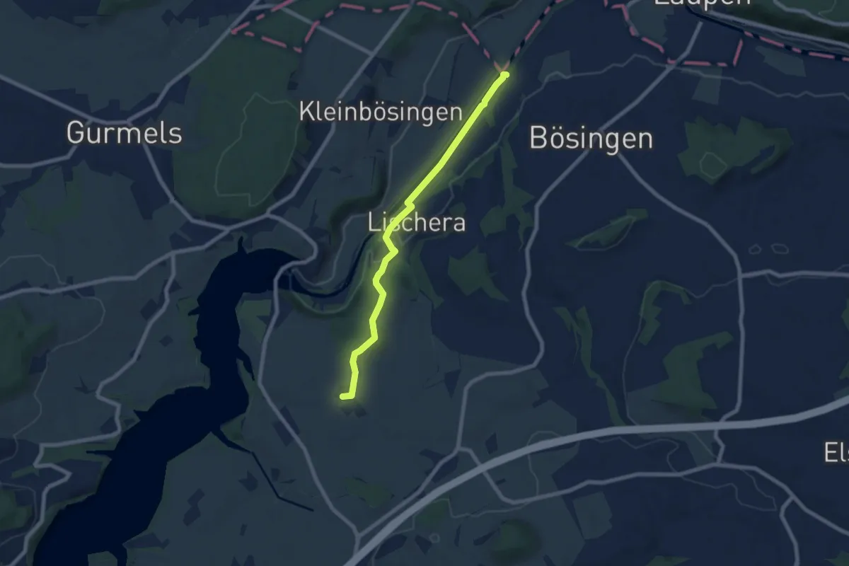
Easy · Trail
Auriedsteg – Schlattli
6.8 km · ↑ 99 m · 1 h 49 min · 9 km away
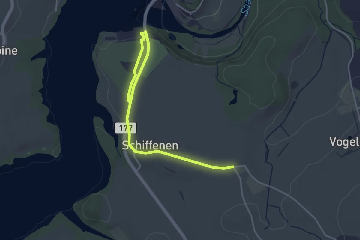
Easy · Trail
Schlattli - Schiffenen / Camping
4.0 km · ↑ 37 m · 1 h 1 min · 9 km away
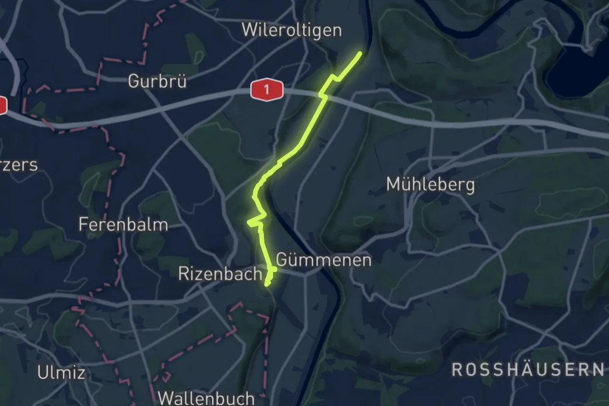
Medium · Trail
Gümmenen Bahnhof – Wilerau
8.7 km · ↑ 267 m · 2 h 38 min · 9 km away
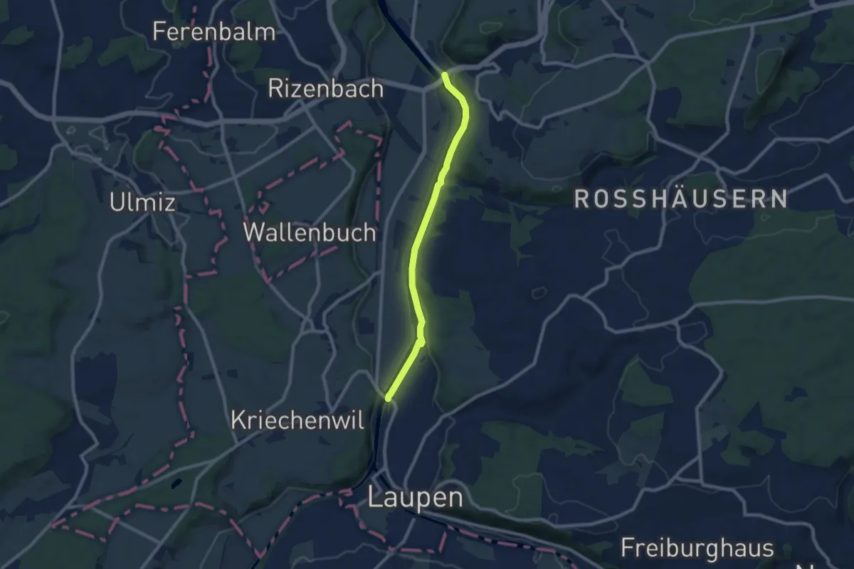
Easy · Trail
Saanebrücke – Gümmenen
7.8 km · ↑ 78 m · 2 h · 9 km away
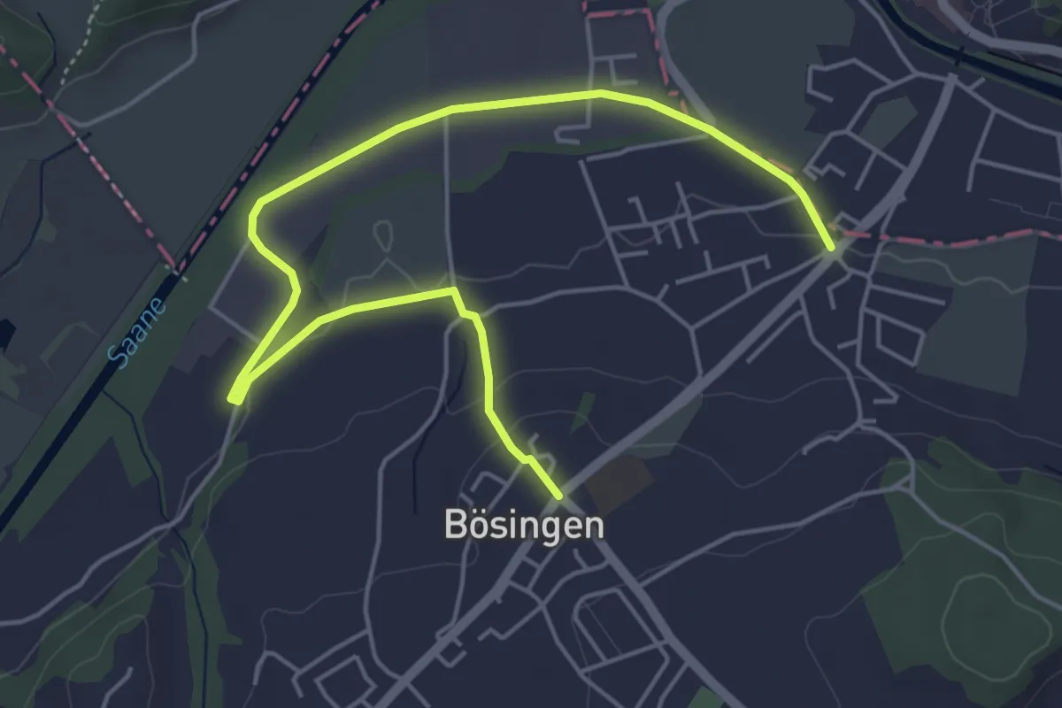
Easy · Trail
Bösingen - Auriedsteg
6.0 km · ↑ 80 m · 1 h 36 min · 9 km away
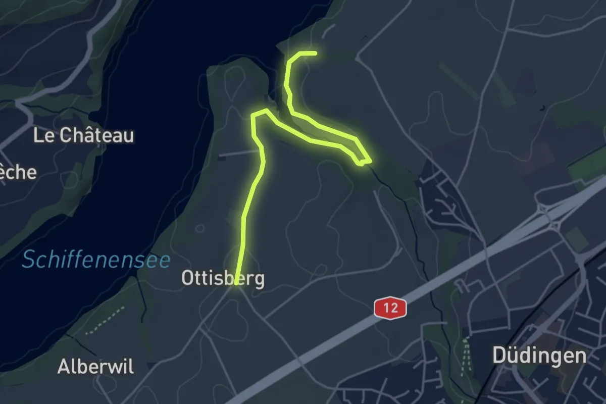
Easy · Trail
Ottisberg - Felliwil
4.2 km · ↑ 118 m · 1 h 15 min · 10 km away
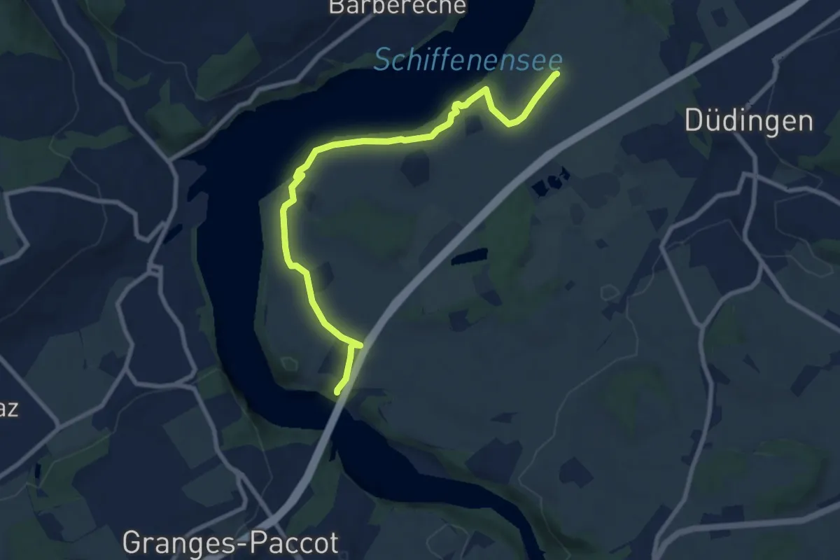
Medium · Trail
Ottisberg - Magdalena-Einsiedelei
8.5 km · ↑ 197 m · 2 h 26 min · 10 km away
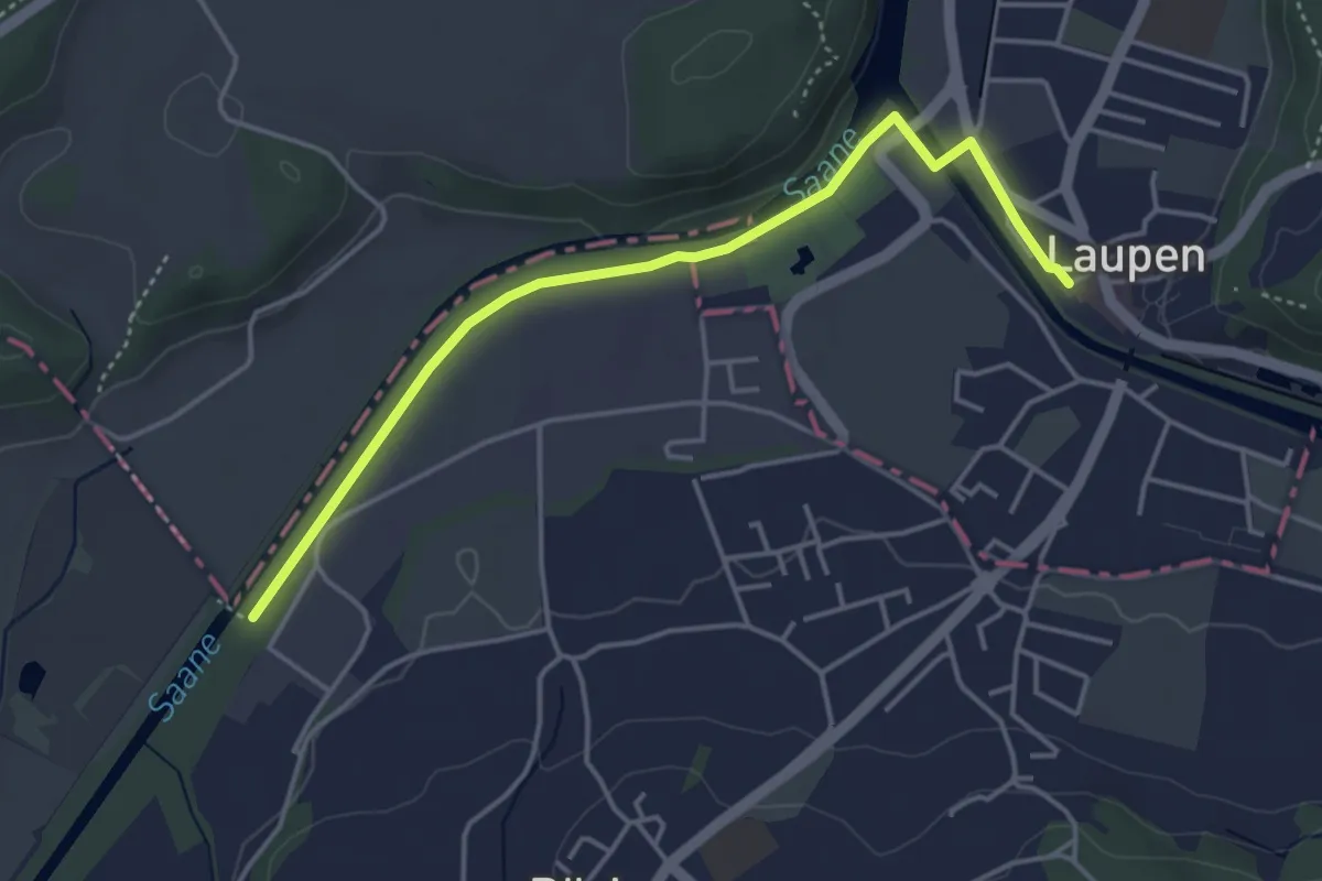
Easy · Trail
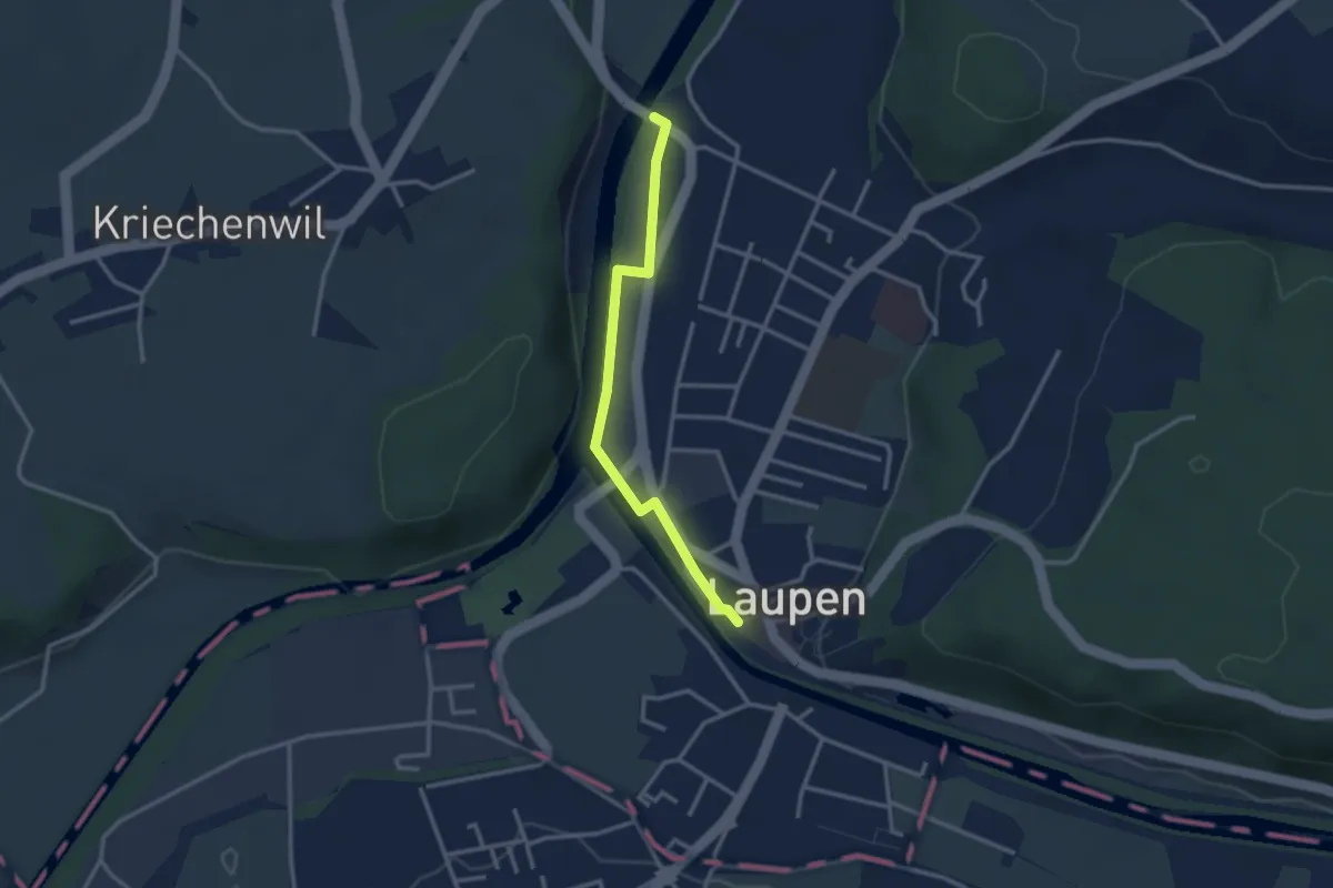
Auriedstäg – Laupen
4.3 km · ↑ 26 m · 1 h 4 min · 10 km away
Easy · Trail
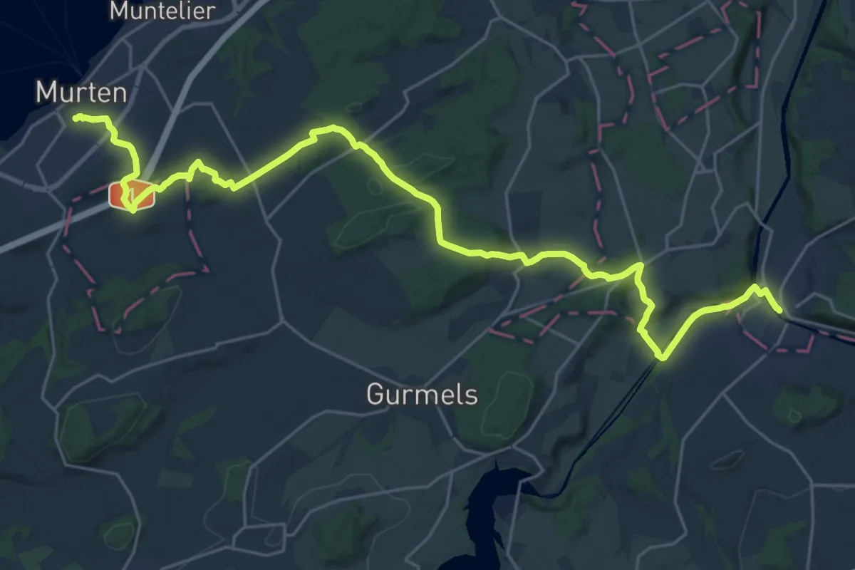
Saanebrücke – Laupen
2.8 km · ↑ 15 m · 41 min · 10 km away
Medium · Trail
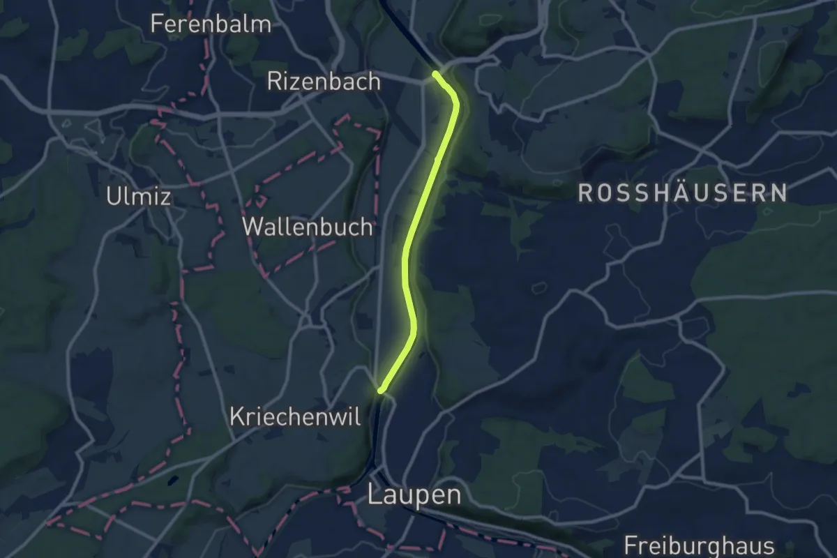
Trans Swiss Trail
14.5 km · ↑ 259 m · 4 h 13 min · 10 km away
Easy · Trail
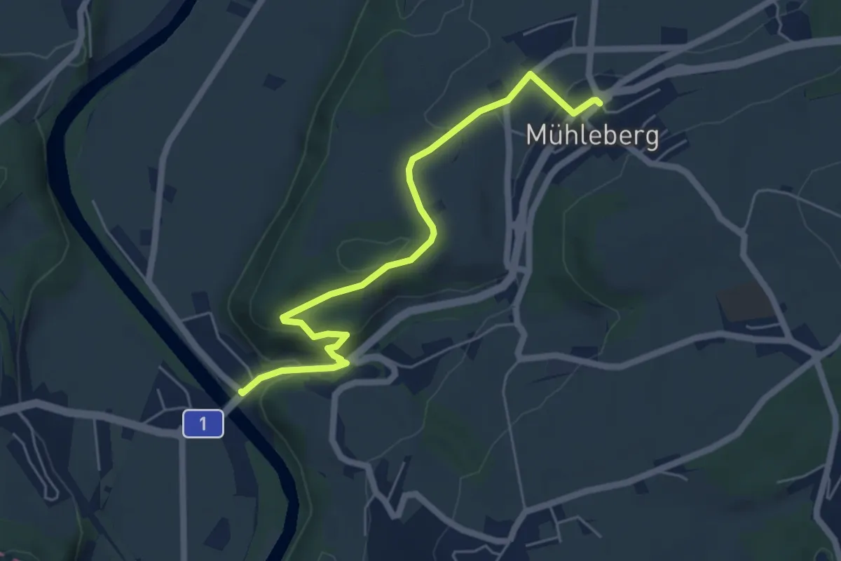
Saanebrücke – Gümmenen
7.4 km · ↑ 33 m · 1 h 49 min · 10 km away
Easy · Trail
Gümmenen - Mühleberg
5.6 km · ↑ 176 m · 1 h 43 min · 10 km away
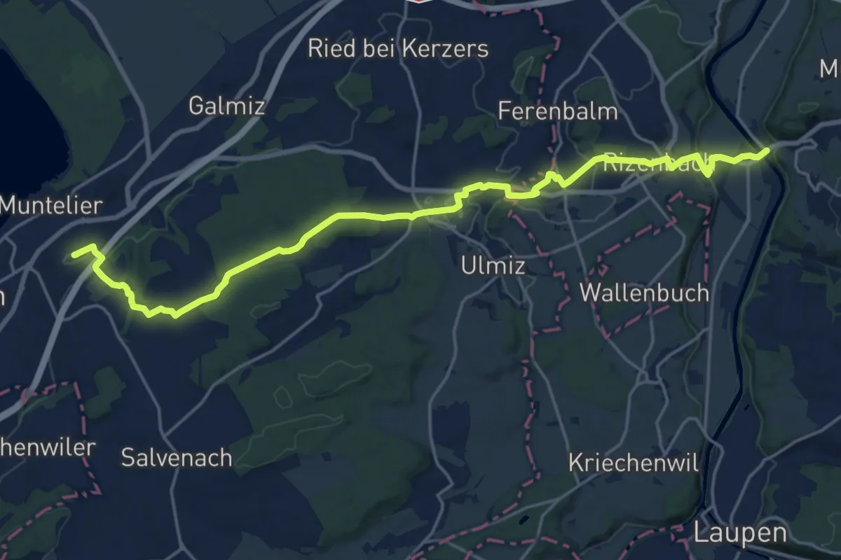
Demanding · Summit
Prehl Murten – Gümmenen
21.5 km · ↑ 325 m · 5 h 46 min · 10 km away
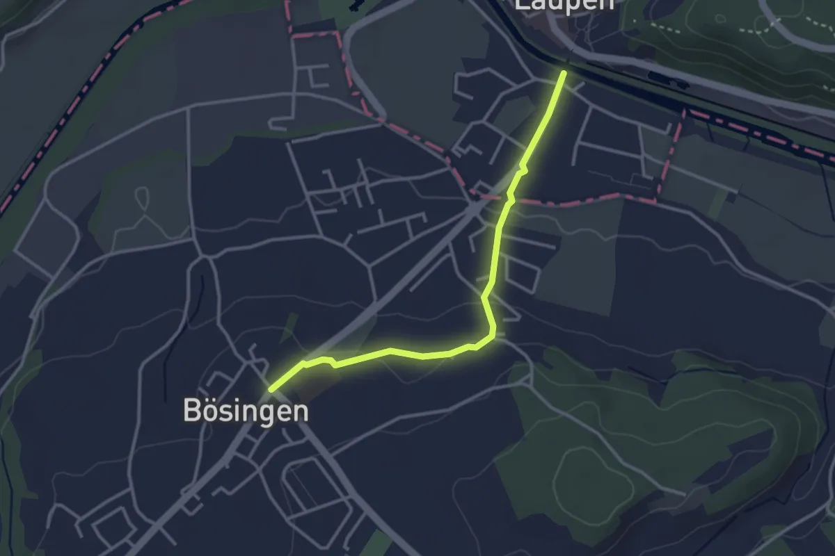
Easy · Trail
Bösingen - Laupen
3.1 km · ↑ 59 m · 51 min · 10 km away
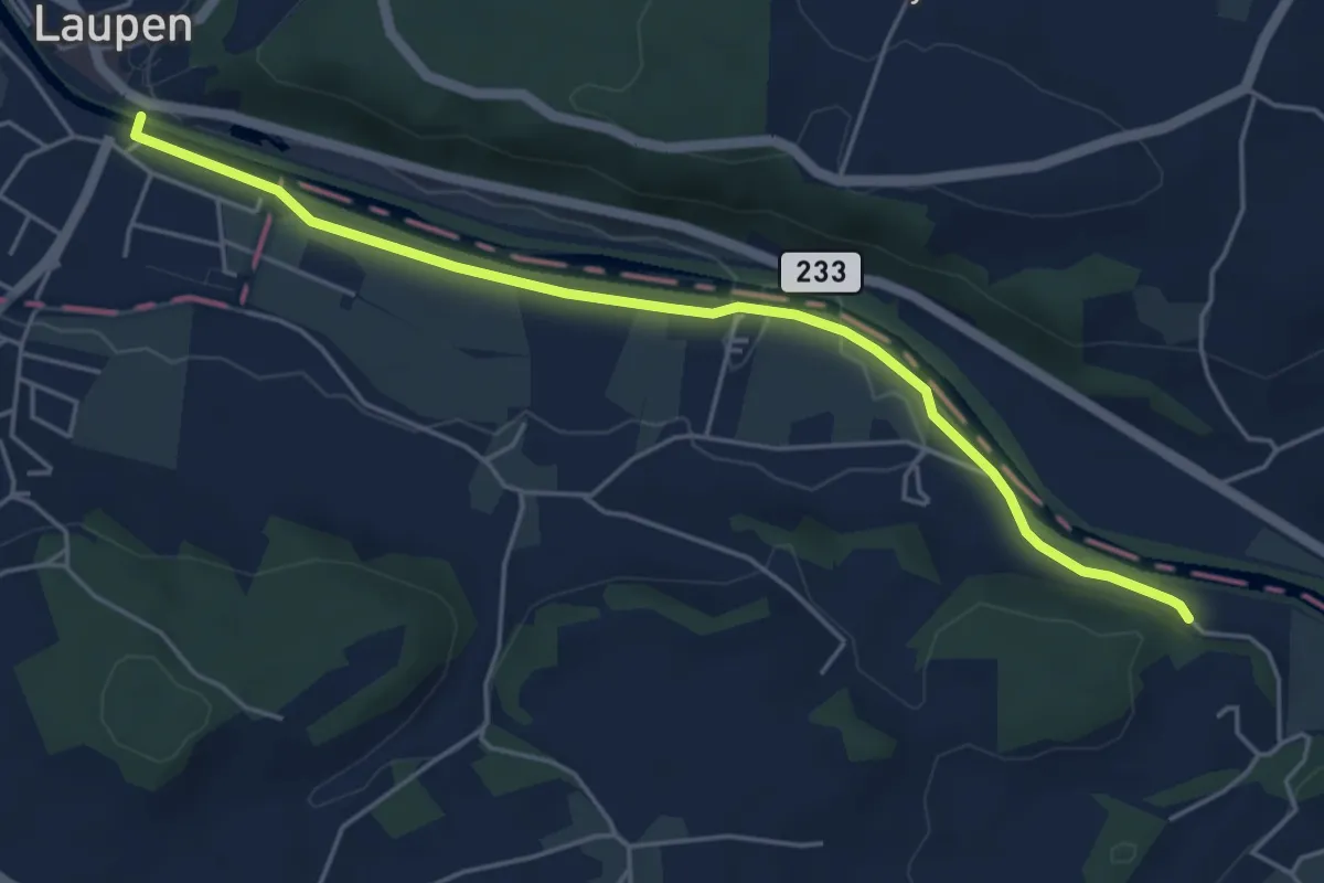
Easy · Trail
Laupen – Noflenau
5.2 km · ↑ 29 m · 1 h 17 min · 10 km away
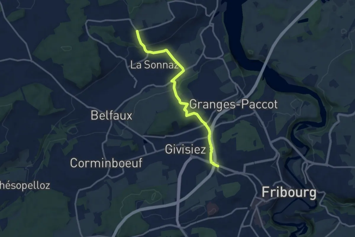
Medium · Trail
Fribourg (Jura) - La Corbaz
9.7 km · ↑ 324 m · 3 h · 10 km away
Easy · Trail
Ins – Gampelen
7.4 km · ↑ 23 m · 1 h 47 min · 10 km away
Easy · Trail
Gampelen – Zihlbrücke
7.7 km · ↑ 9 m · 1 h 50 min · 10 km away
Medium · Trail
Gampelen – Erlachbänkli
12.6 km · ↑ 284 m · 3 h 35 min · 10 km away
Easy · Trail
Gampelen – Tschugg
6.6 km · ↑ 109 m · 1 h 48 min · 10 km away
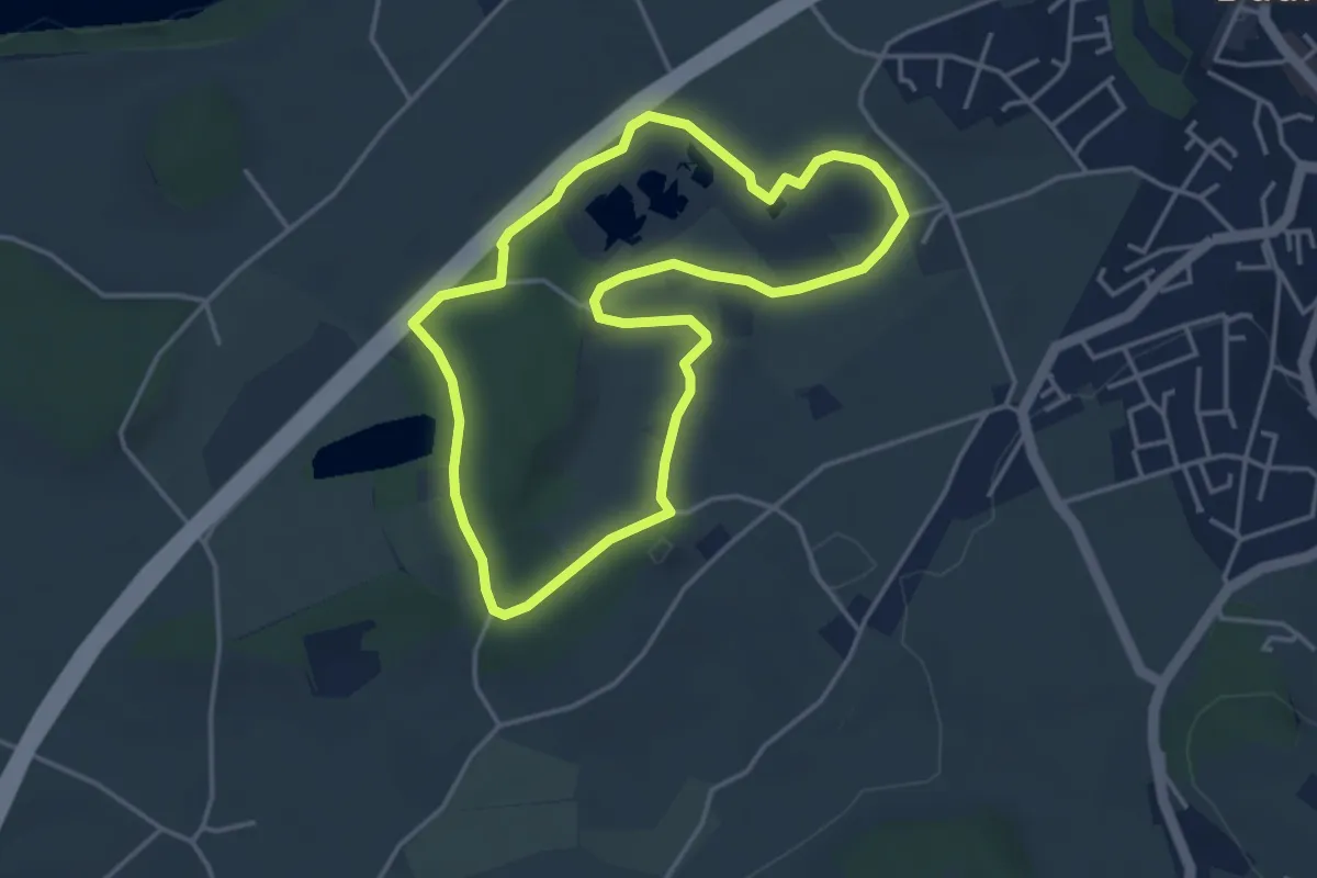
Easy · Trail
Naturhistorischer Pfad
3.8 km · ↑ 21 m · 1 h · 10 km away
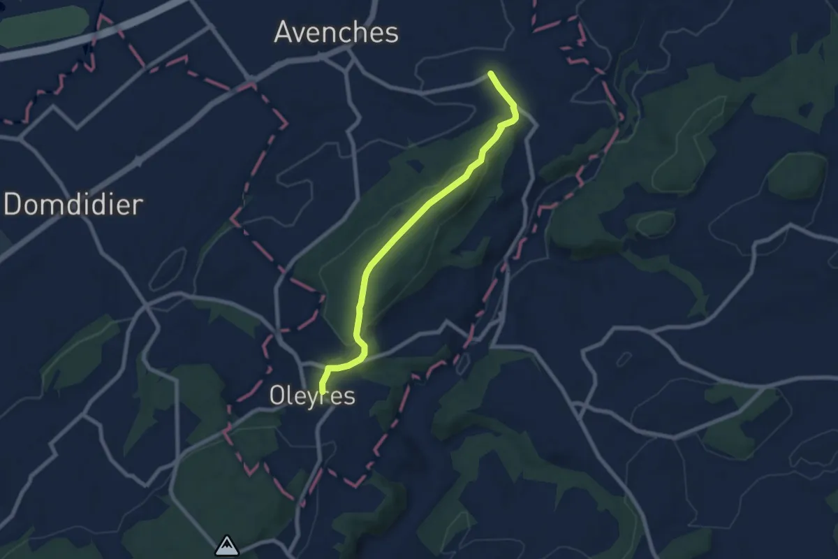
Easy · Trail
Donatyre – Oleyres
6.8 km · ↑ 223 m · 2 h 5 min · 10 km away
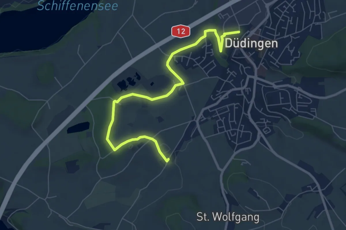
Easy · Trail
Düdingen - Garmiswil
7.6 km · ↑ 83 m · 1 h 58 min · 10 km away
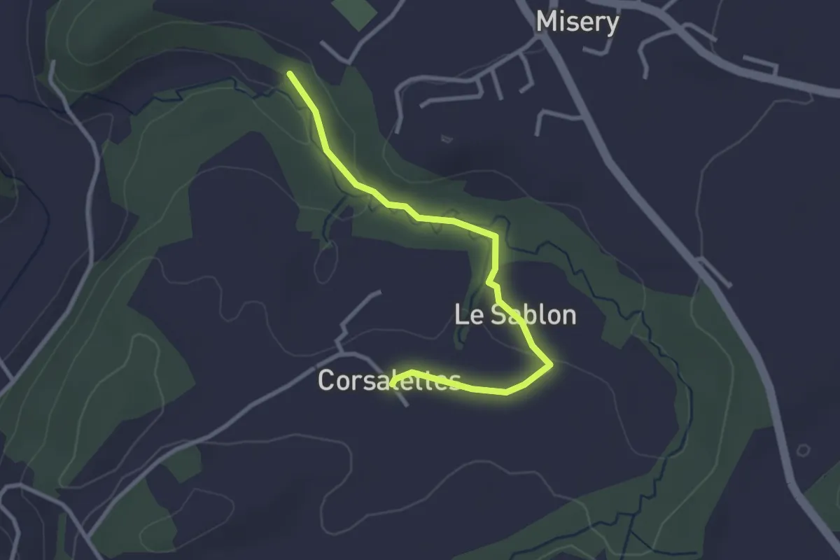
Easy · Trail
Le Grabou Cne de Misery - Corsalettes
2.9 km · ↑ 45 m · 46 min · 10 km away
Easy · Trail
Ins Dorf – Zwejen
5.7 km · ↑ 82 m · 1 h 31 min · 10 km away
Easy · Trail
Gurzelen – Zweje
6.8 km · ↑ 162 m · 1 h 57 min · 10 km away
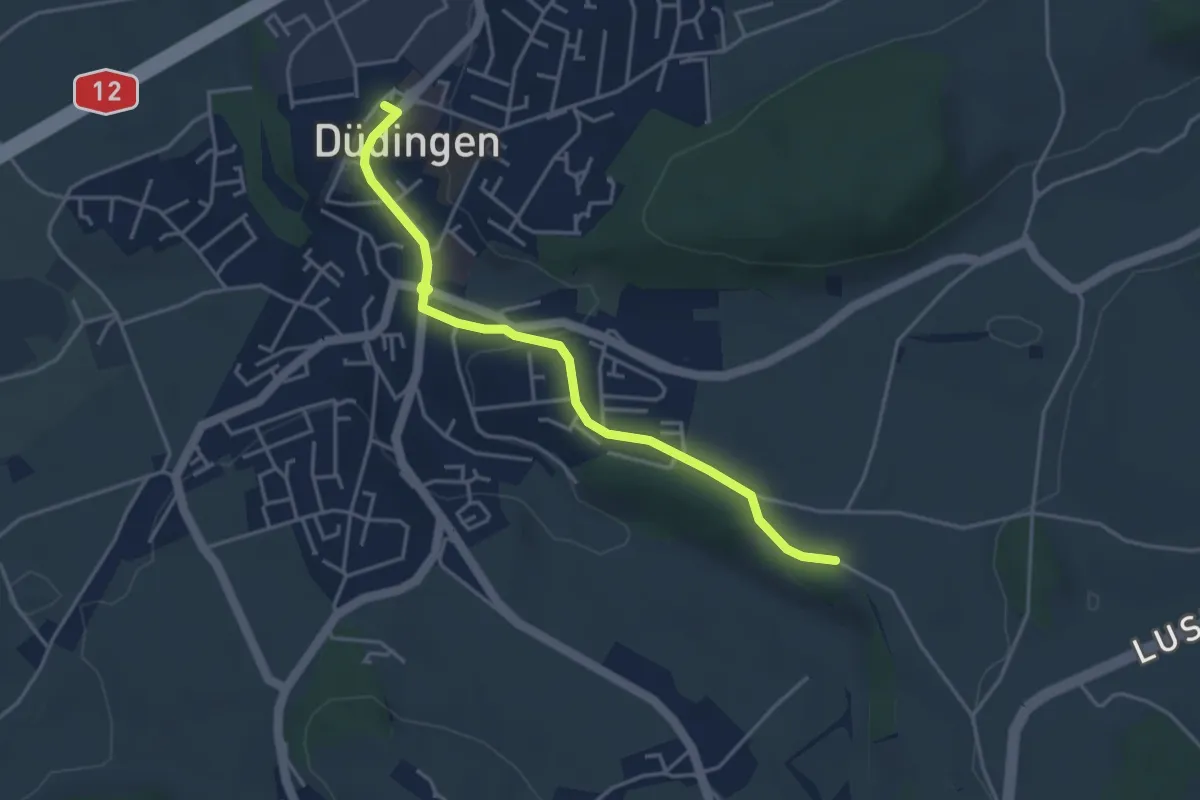
Easy · Trail
Düdingen Station - Zelgli
4.1 km · ↑ 69 m · 1 h 6 min · 10 km away