Trails near Murten
251 hikes starting within 15 km, nearest first.
Nearest first, page 4 of 6
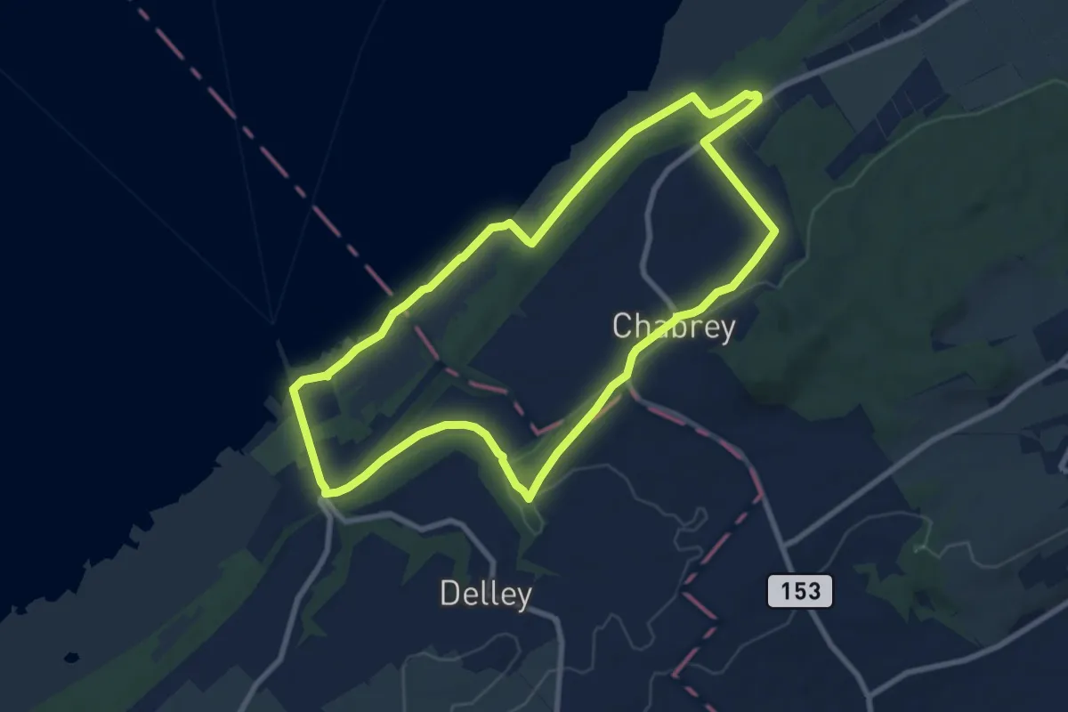
Medium · Trail
Sentier Nature
8.4 km · ↑ 99 m · 2 h 19 min · 12 km away
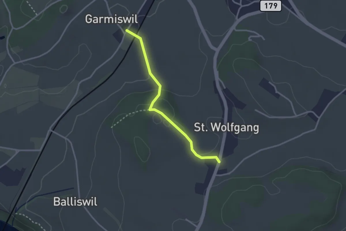
Easy · Trail
Garmiswil - St. Wolfgang
2.5 km · ↑ 67 m · 44 min · 12 km away
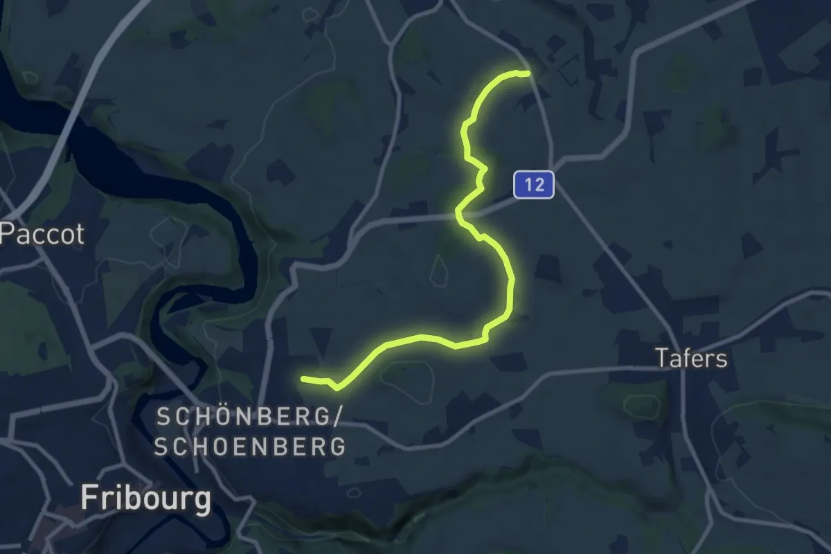
Medium · Trail
Jetschwil - Uebewil
8.8 km · ↑ 125 m · 2 h 21 min · 12 km away
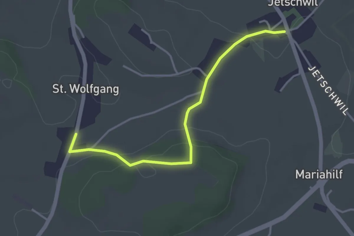
Easy · Trail
St. Wolfgang - Jetschwil
3.3 km · ↑ 75 m · 57 min · 12 km away
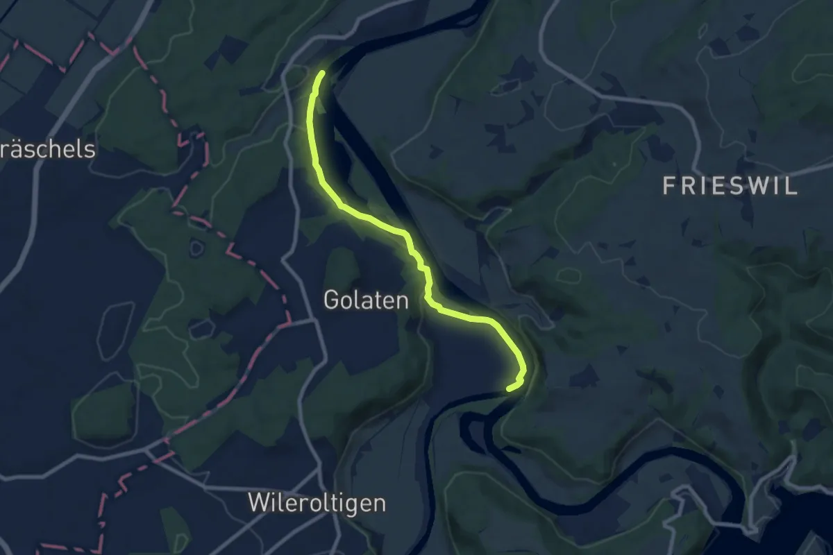
Medium · Trail
Saanemündung – Stausee Niederried
7.6 km · ↑ 185 m · 2 h 12 min · 12 km away
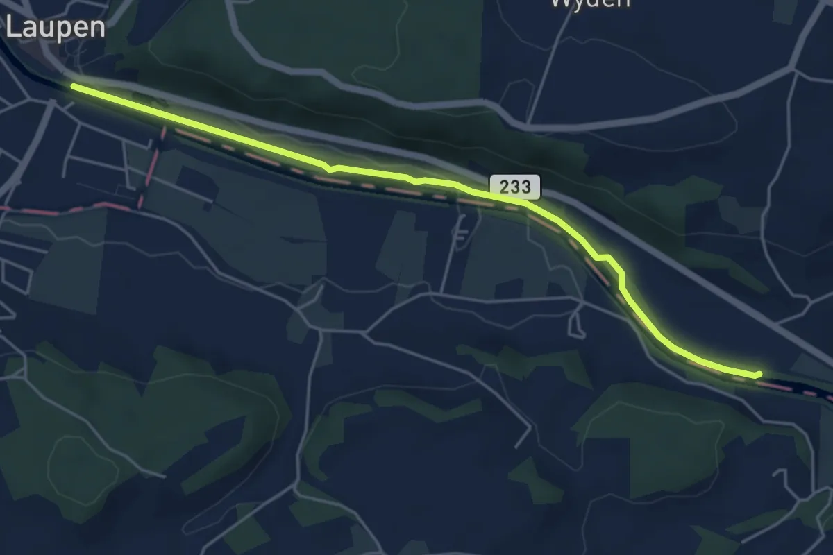
Easy · Trail
Laupen – Riedliau
5.0 km · ↑ 17 m · 1 h 14 min · 12 km away
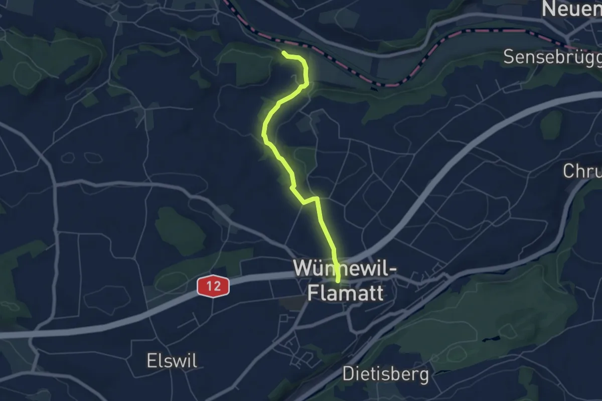
Easy · Trail
Noflenau – Wünnewil
5.1 km · ↑ 108 m · 1 h 27 min · 12 km away
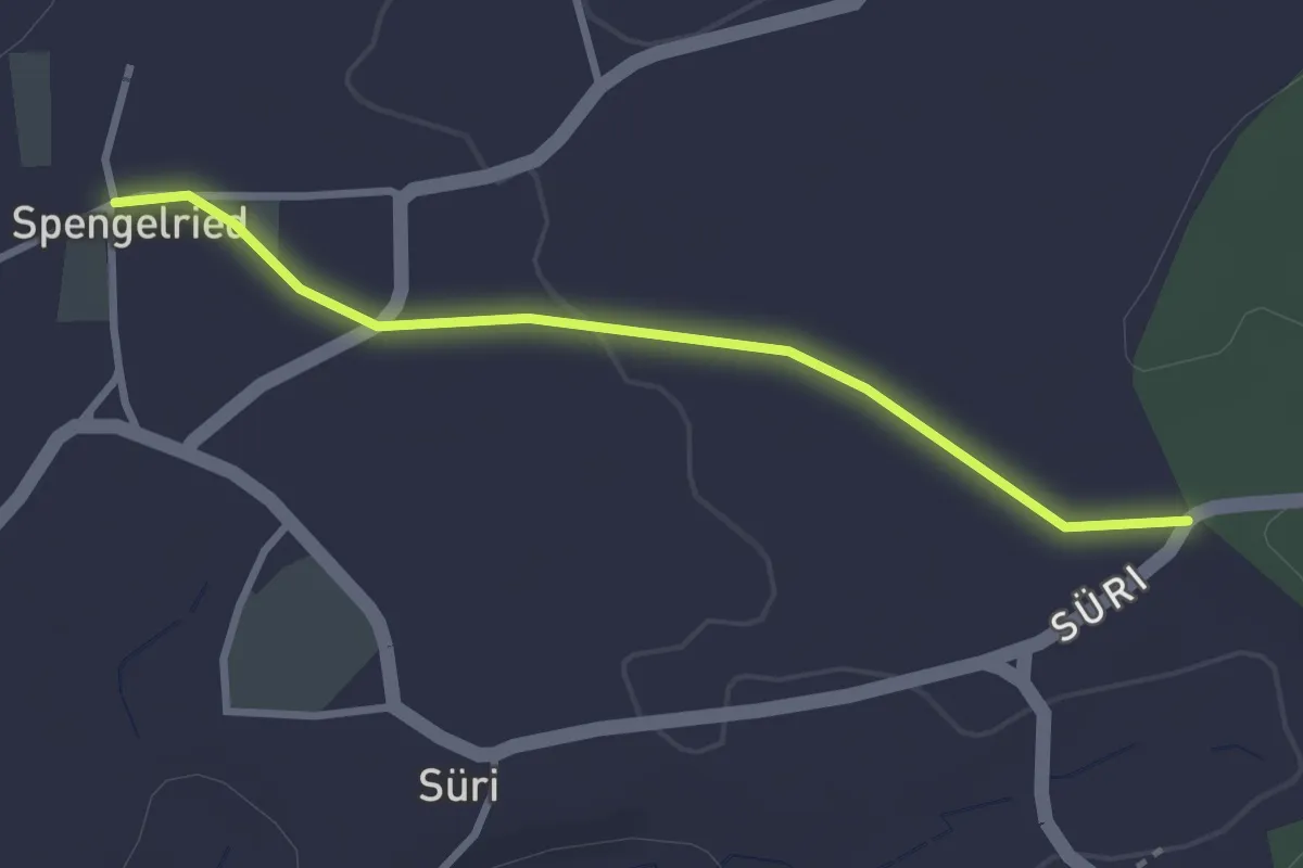
Easy · Trail
Spengelried - Süri
2.8 km · ↑ 22 m · 43 min · 12 km away
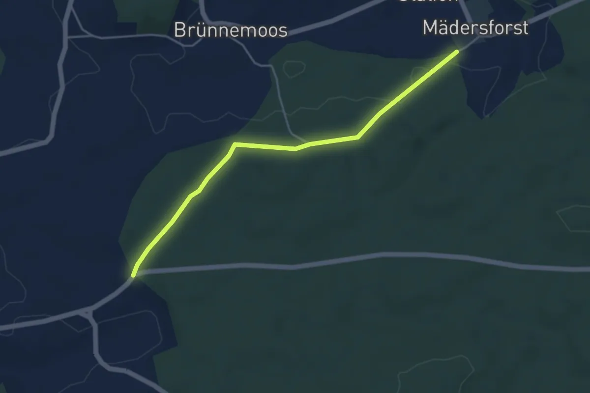
Easy · Trail
Mädersforst-Ischlag - Süri
4.0 km · ↑ 49 m · 1 h 3 min · 12 km away
Easy · Trail
Stausee Niederried – Niederried
3.8 km · ↑ 31 m · 58 min · 13 km away
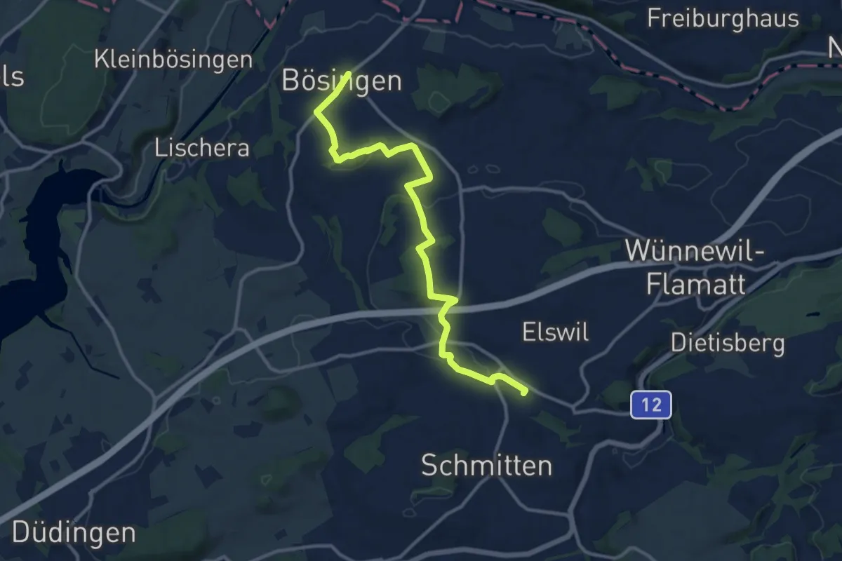
Medium · Trail
Bösingen - Schmitten Station
12.0 km · ↑ 208 m · 3 h 17 min · 13 km away
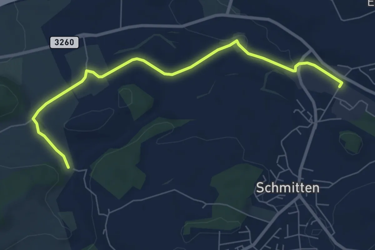
Easy · Trail
Bethlehem - Schmitten Station
6.5 km · ↑ 61 m · 1 h 41 min · 13 km away
Easy · Trail
Erlachbänkli – Tschugg
4.7 km · ↑ 82 m · 1 h 17 min · 13 km away
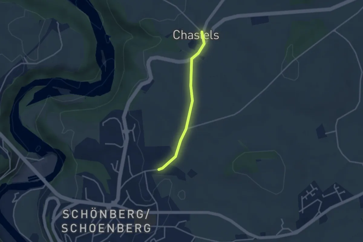
Easy · Trail
Uebewil - Kastels
2.4 km · ↑ 43 m · 40 min · 13 km away
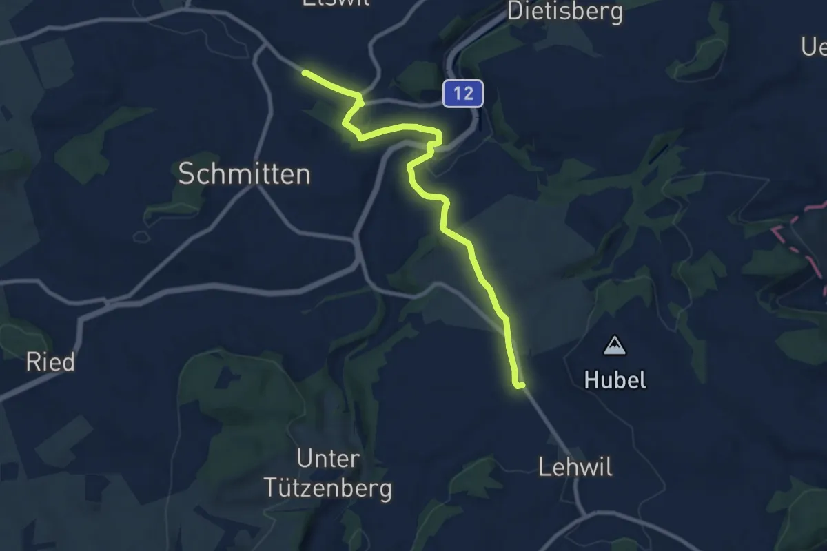
Medium · Trail
Schmitten Station - Niedermuhren
8.3 km · ↑ 157 m · 2 h 18 min · 13 km away
Easy · Trail
Walperswilbrücke – Siselen
6.6 km · ↑ 85 m · 1 h 44 min · 13 km away
Medium · Trail
Kallnach – Siselen
9.6 km · ↑ 36 m · 2 h 20 min · 13 km away
Easy · Trail
Siselen – Finsterhennen
3.3 km · ↑ 32 m · 51 min · 13 km away
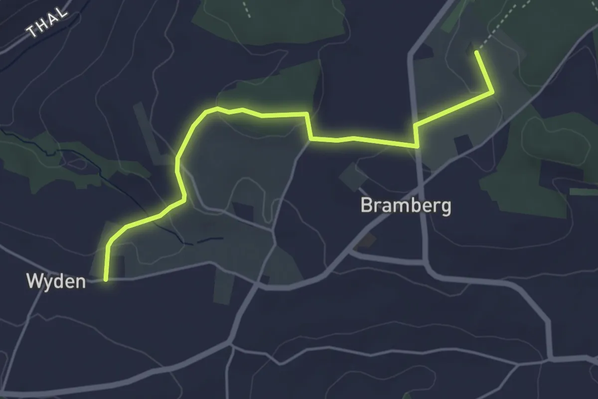
Easy · Trail
Wyden - Brambergdenkmal
4.5 km · ↑ 95 m · 1 h 17 min · 13 km away
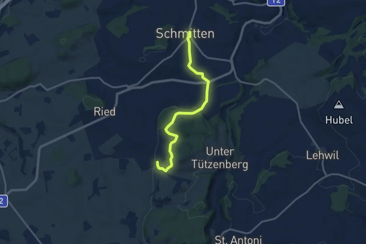
Easy · Trail
Schmitten - Wiler
7.8 km · ↑ 267 m · 2 h 25 min · 13 km away
Demanding · Trail
Seeland-Solothurn-Weg
20.7 km · ↑ 276 m · 5 h 46 min · 13 km away
Easy · Summit
Chüngeliinsel – Erlach
6.5 km · ↑ 15 m · 1 h 34 min · 13 km away
Easy · Trail
Erlach – Erlachbänkli
2.1 km · ↑ 114 m · 45 min · 13 km away
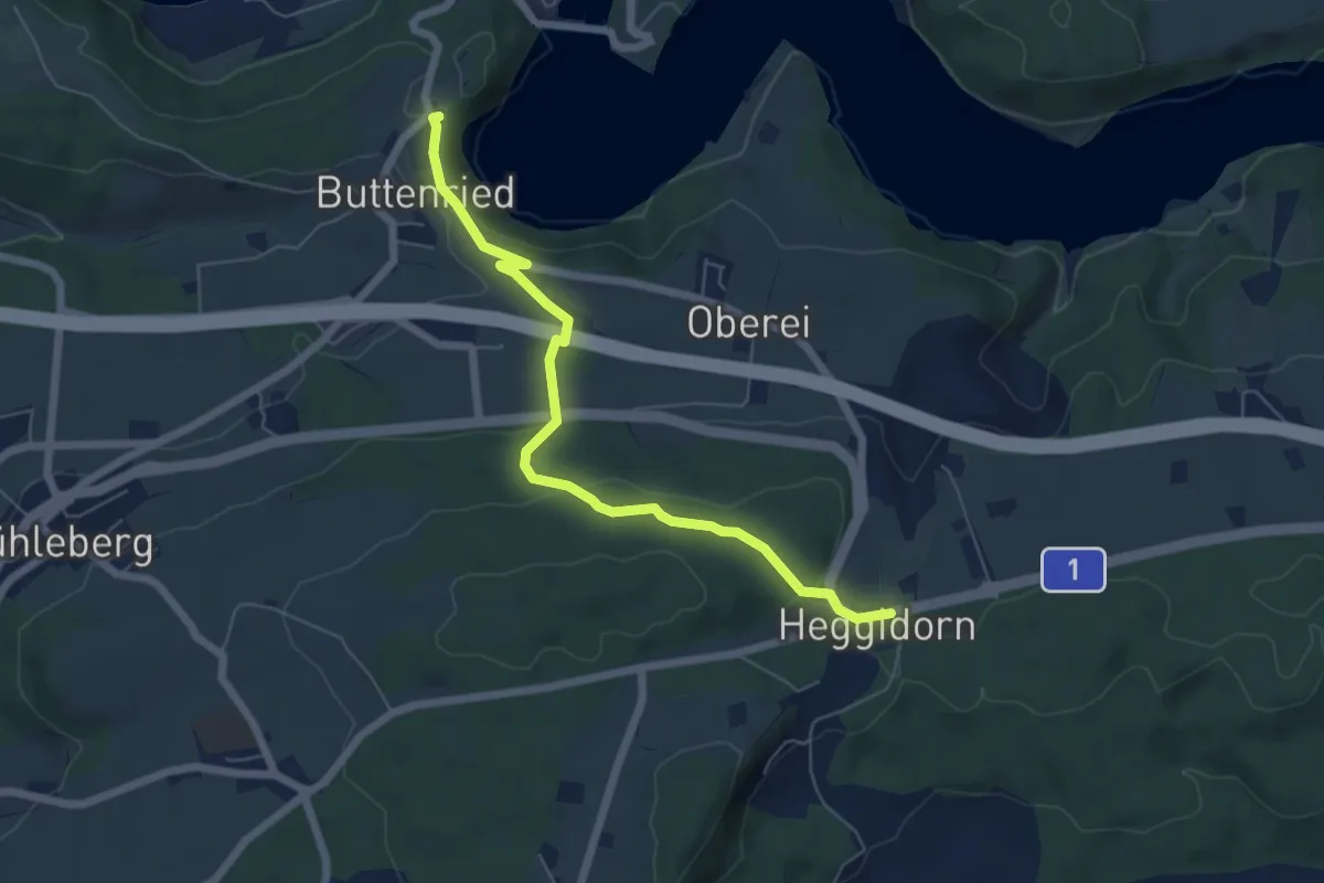
Easy · Trail
Heggidorn - Fuchsenried
6.1 km · ↑ 157 m · 1 h 47 min · 13 km away
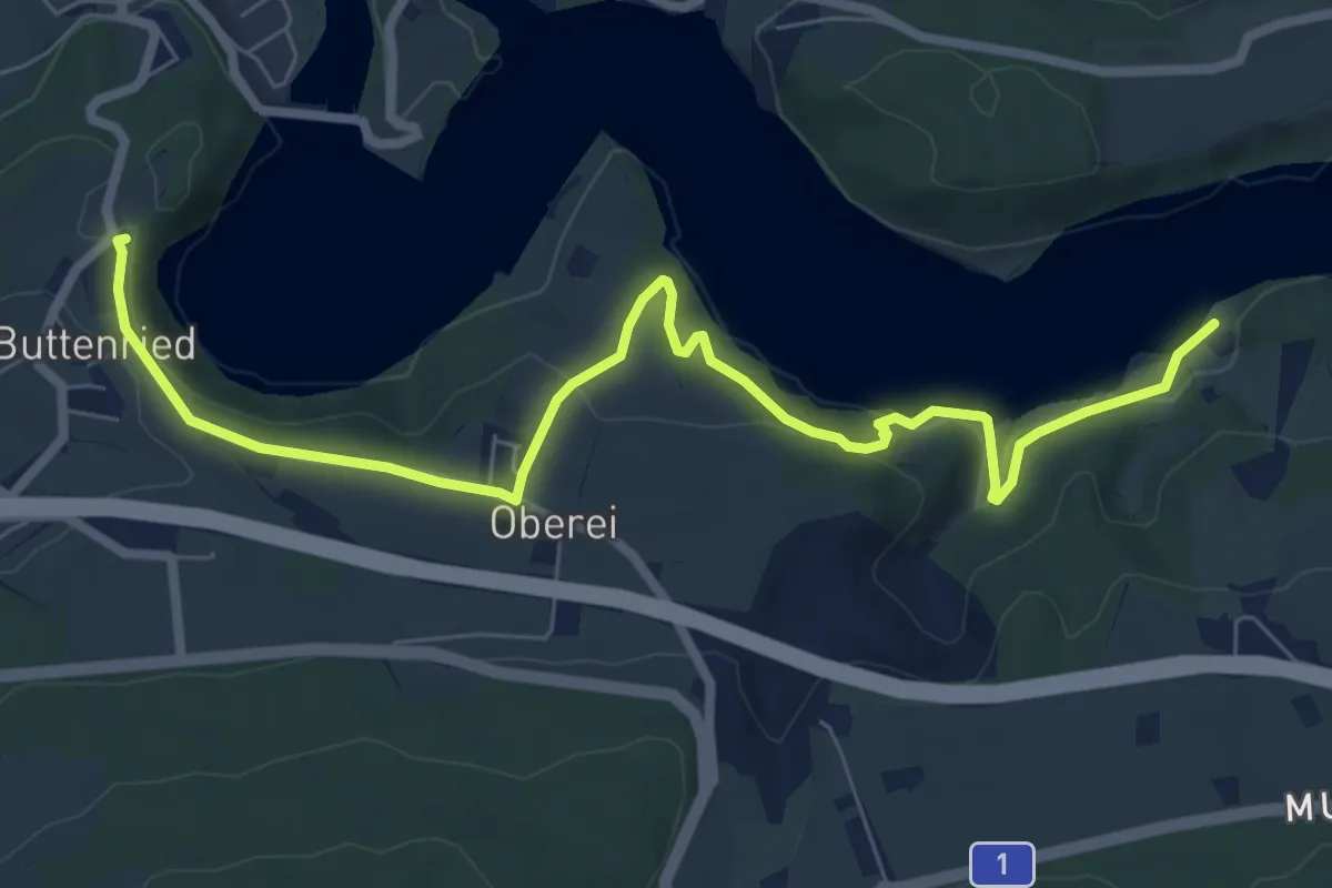
Medium · Trail
Fuchsenried - Jaggisbachau
8.3 km · ↑ 253 m · 2 h 30 min · 13 km away
Easy · Trail
Erlach – St. Johannsen
5.2 km · ↑ 17 m · 1 h 16 min · 13 km away
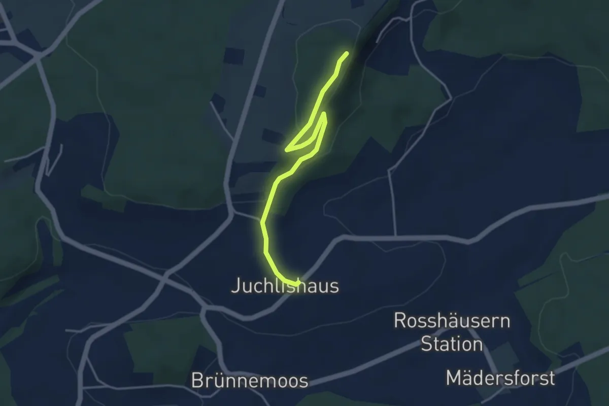
Easy · Trail
Lediflue - Juchlishus
3.5 km · ↑ 129 m · 1 h 7 min · 13 km away
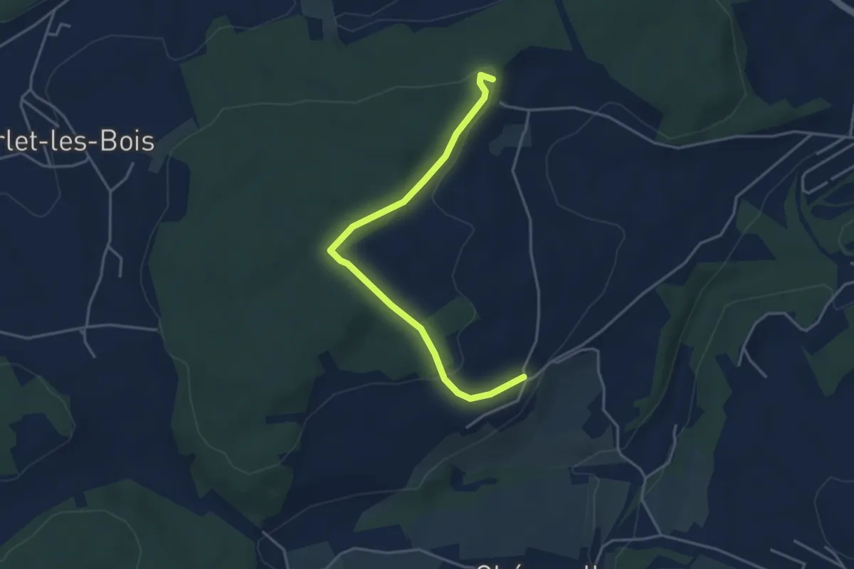
Easy · Trail
Circuit de Belfaux
3.9 km · ↑ 107 m · 1 h 10 min · 13 km away
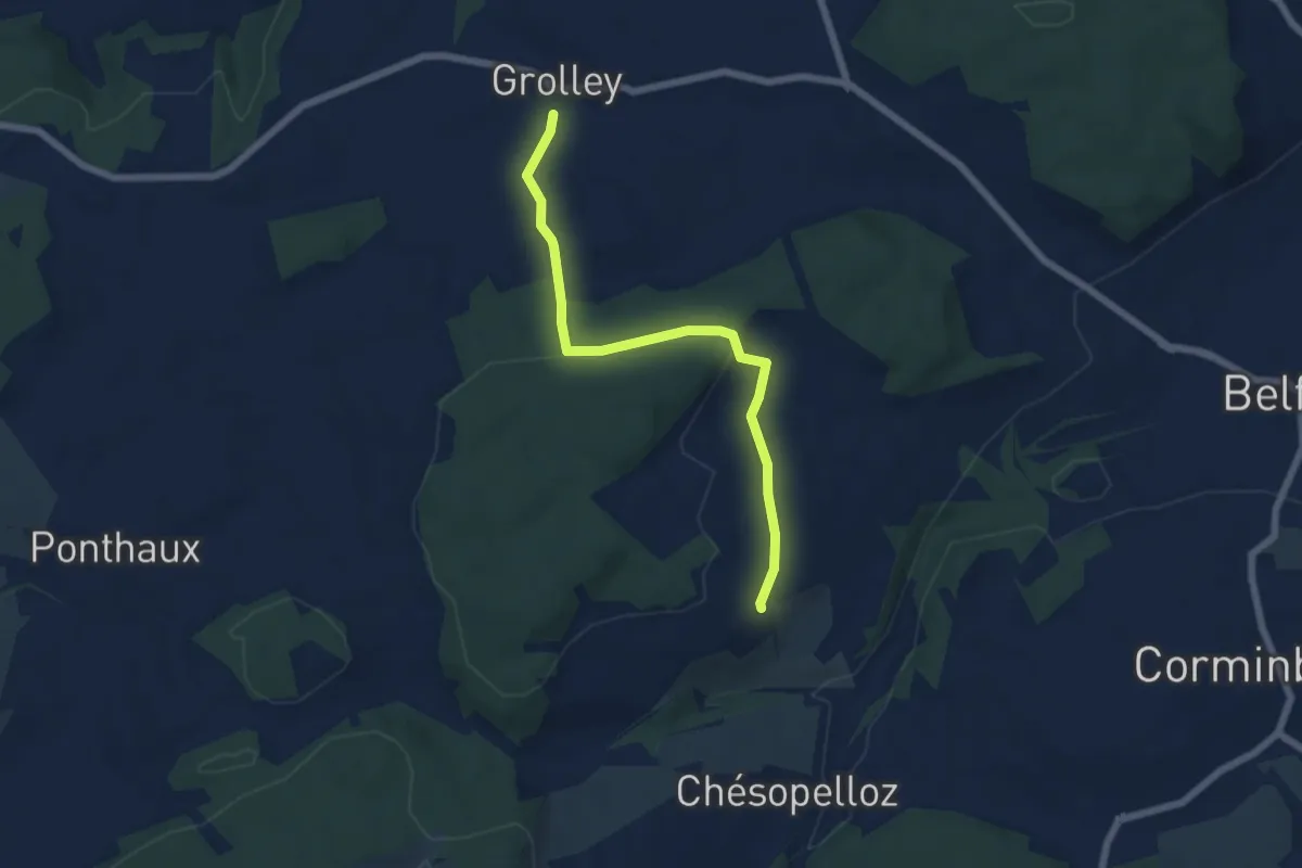
Easy · Trail
Grolley - Autafond
5.9 km · ↑ 162 m · 1 h 45 min · 13 km away
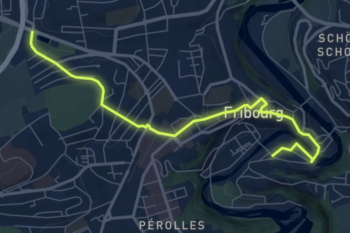
Easy · Trail
Parc du Jura - Planche Sup.
7.0 km · ↑ 214 m · 2 h 6 min · 13 km away
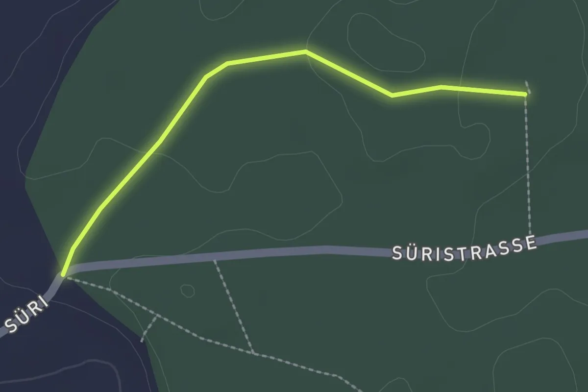
Easy · Trail
Scharzenbrünnen - Süri
2.2 km · ↑ 26 m · 34 min · 13 km away
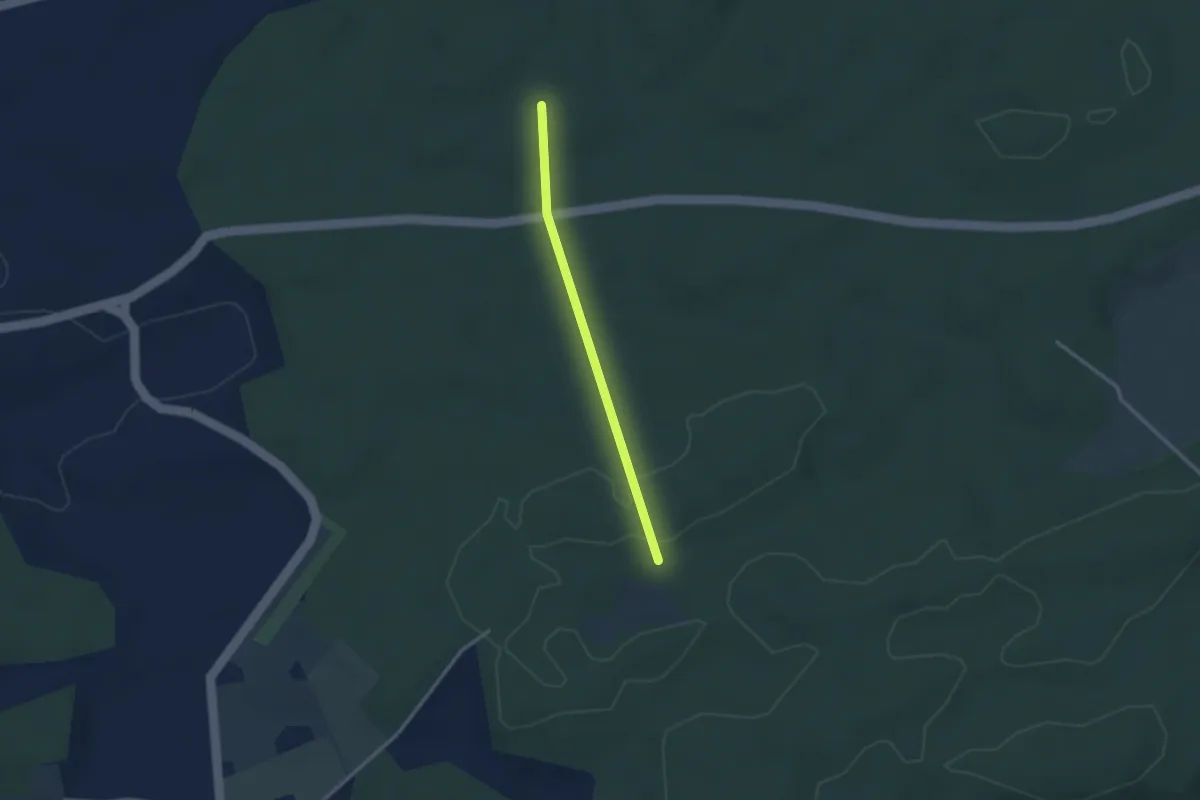
Easy · Trail
Scharzenbrünnen - Mösli
2.4 km · ↑ 51 m · 41 min · 13 km away
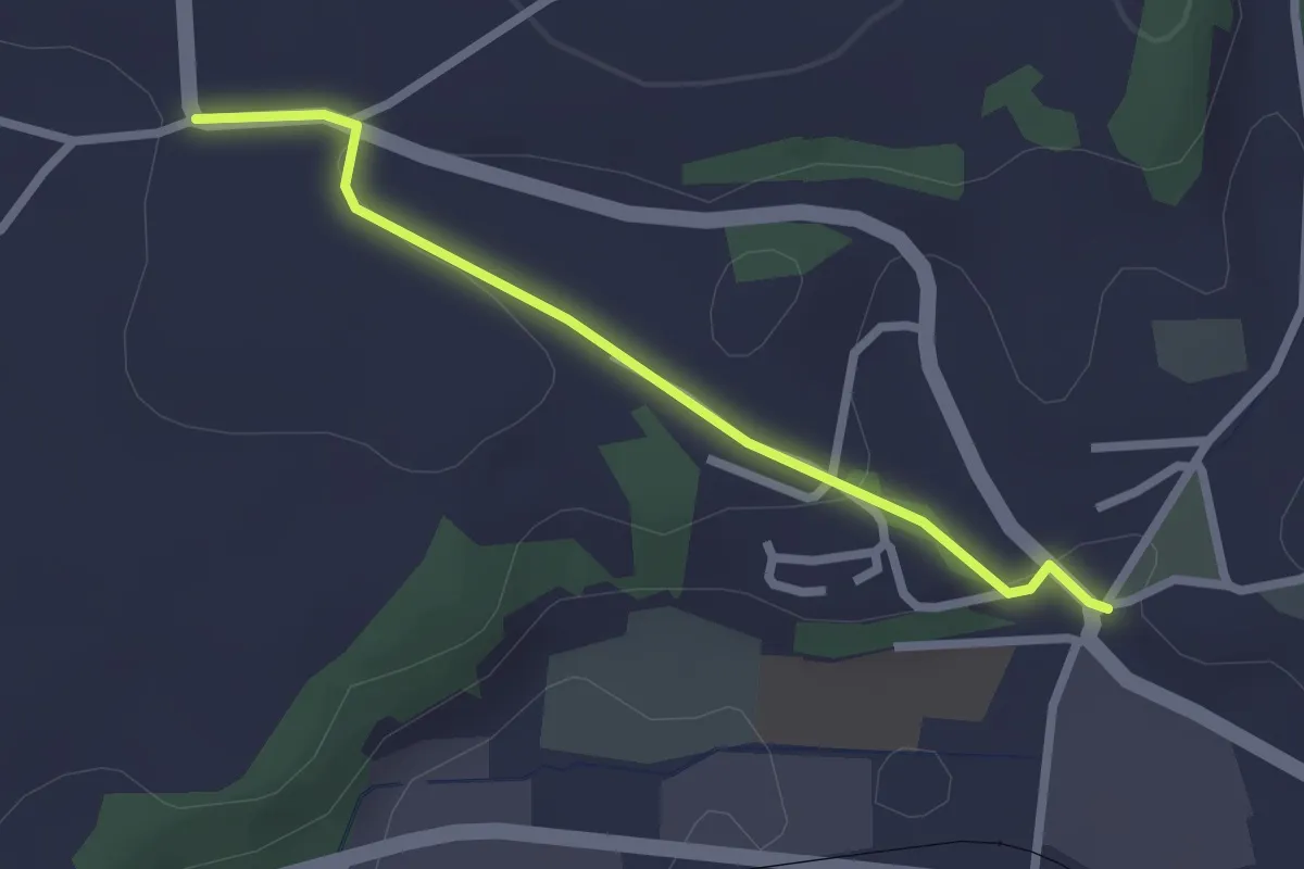
Easy · Trail
Brüggelbach - Neuenegg Kirche
2.3 km · ↑ 42 m · 38 min · 13 km away
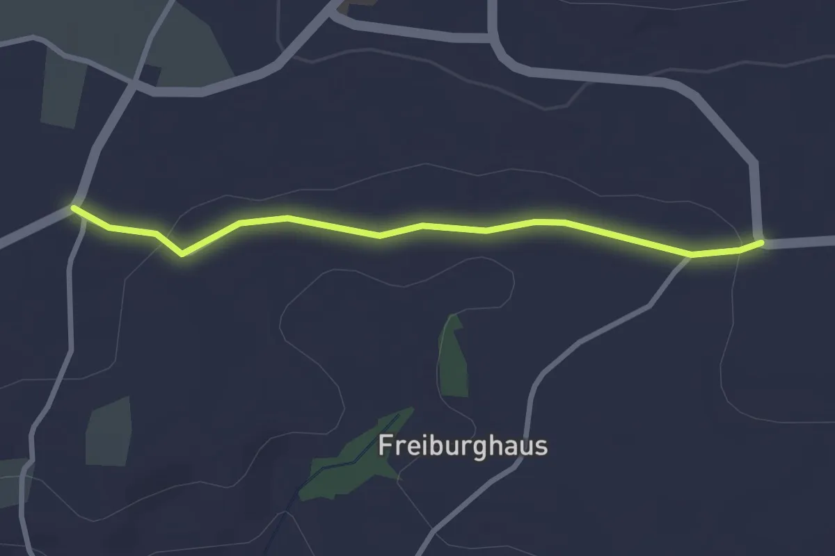
Easy · Trail
Sandgrube - Brüggelbach
2.5 km · ↑ 37 m · 41 min · 13 km away
Easy · Trail
Lüscherz – Brüttelen
7.0 km · ↑ 282 m · 2 h 15 min · 13 km away
Easy · Trail
Hang – Lüscherz
2.7 km · ↑ 59 m · 46 min · 13 km away
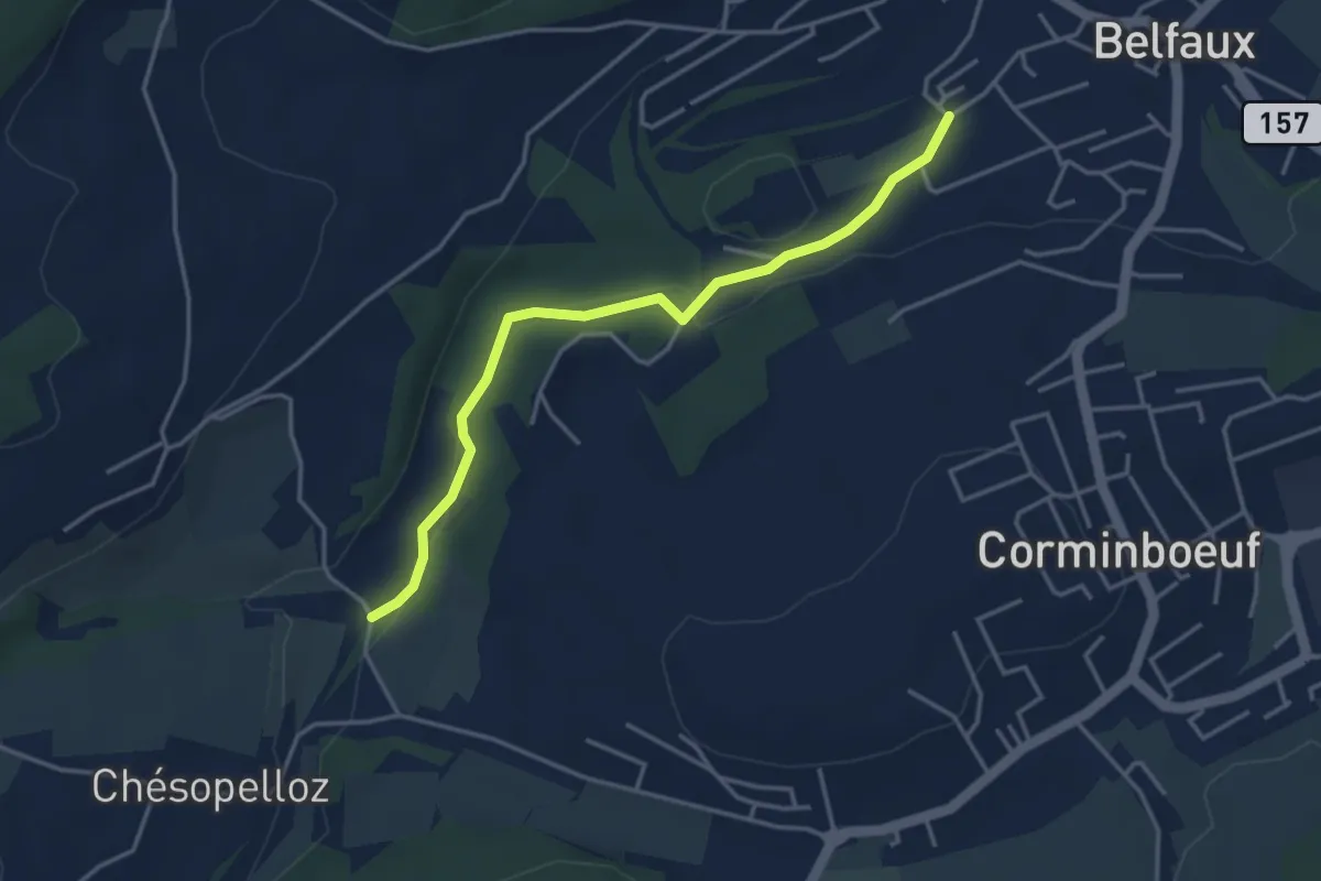
Easy · Trail
Le Moulin - Belfaux rte de Chésopelloz
3.9 km · ↑ 83 m · 1 h 6 min · 13 km away
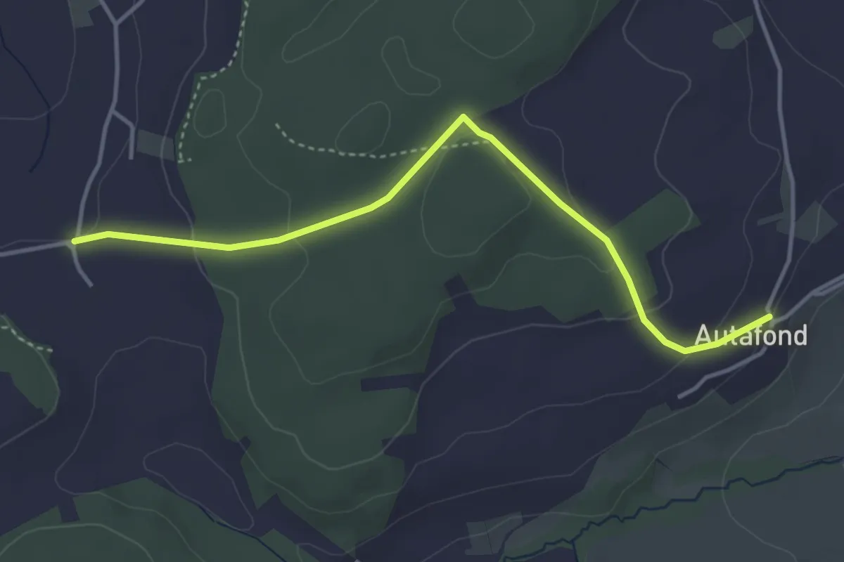
Easy · Trail
Autafond - Nierlet-les-Bois Pré de Chêne
4.1 km · ↑ 123 m · 1 h 13 min · 13 km away
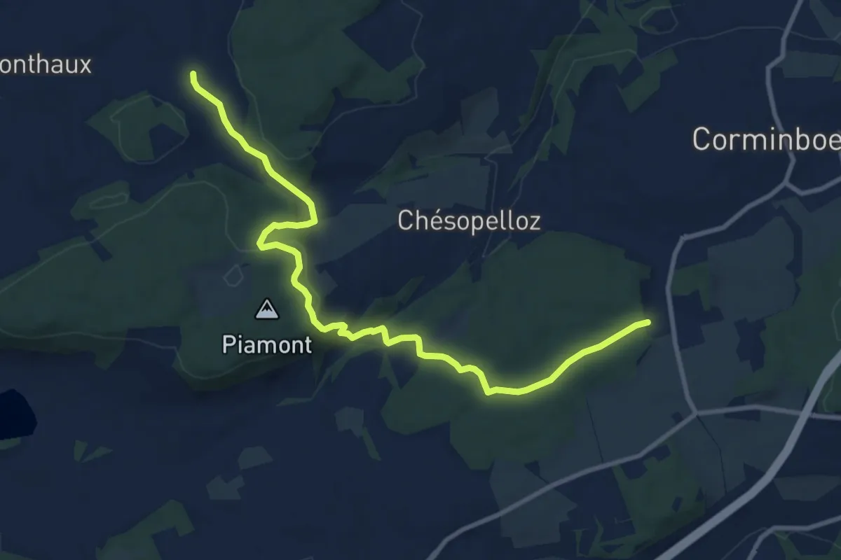
Medium · Trail
Nierlet-les-Bois Pré de Chêne - Corminboeuf Village Suisse
10.2 km · ↑ 295 m · 3 h 3 min · 13 km away
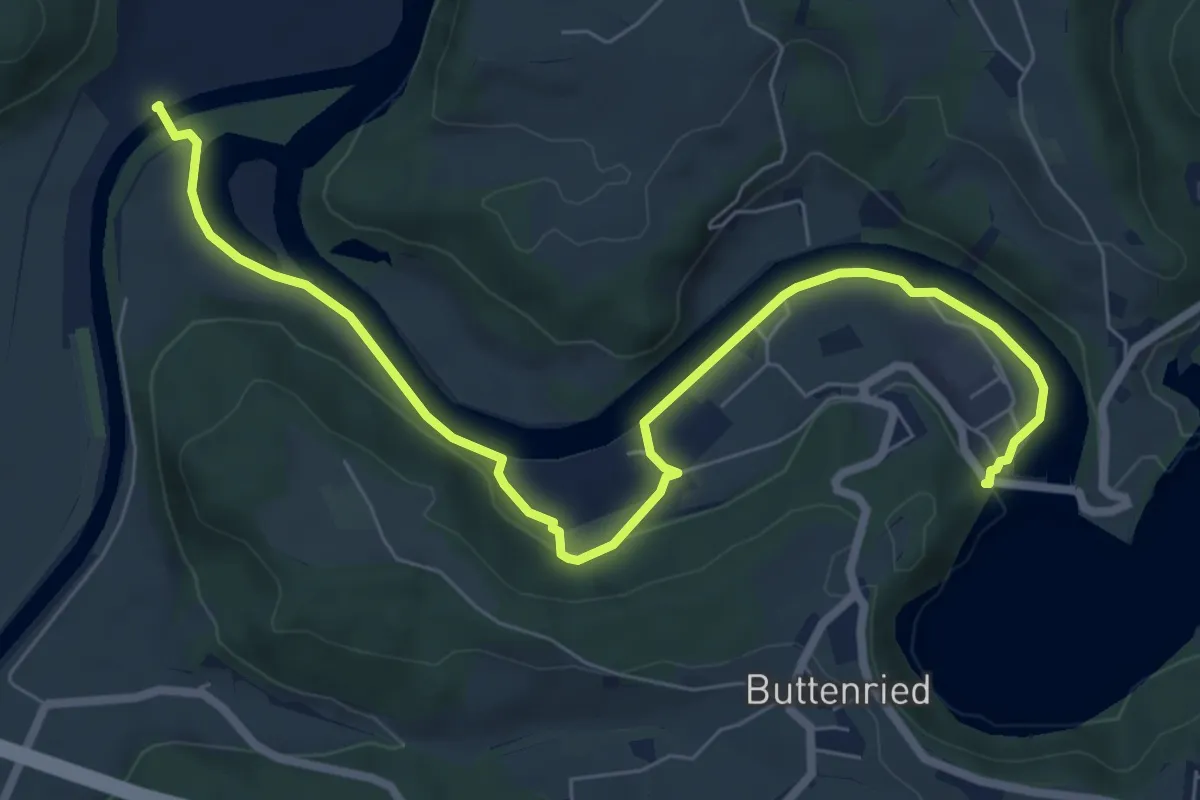
Medium · Trail
Saanesteg – Mühlebergwerk
8.3 km · ↑ 127 m · 2 h 14 min · 13 km away
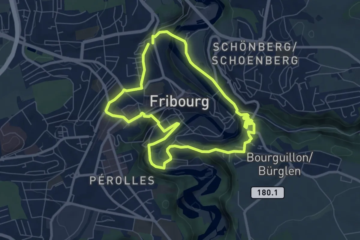
Easy · Trail
Circuit des fortifications
6.3 km · ↑ 286 m · 2 h 11 min · 13 km away
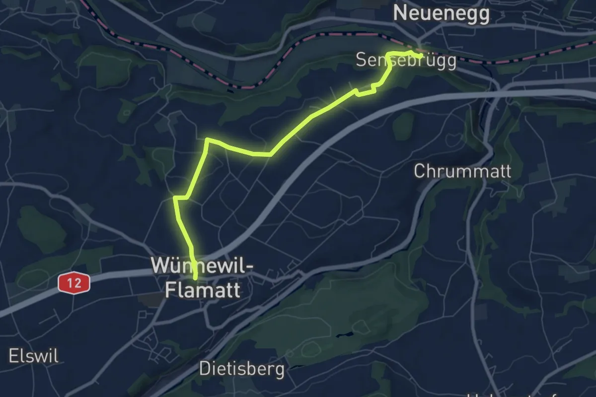
Easy · Trail
Sensebrücke – Wünnewil
7.6 km · ↑ 193 m · 2 h 12 min · 13 km away
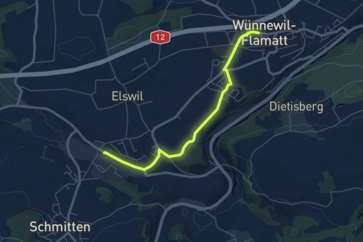
Easy · Trail
Wünnewil - Schmitten Station
5.5 km · ↑ 83 m · 1 h 29 min · 13 km away
Easy · Trail
Saint-Blaise – Roches de Châtollion
3.2 km · ↑ 151 m · 1 h 5 min · 14 km away
Easy · Trail
Cornaux – Saint-Blaise
7.2 km · ↑ 318 m · 2 h 23 min · 14 km away
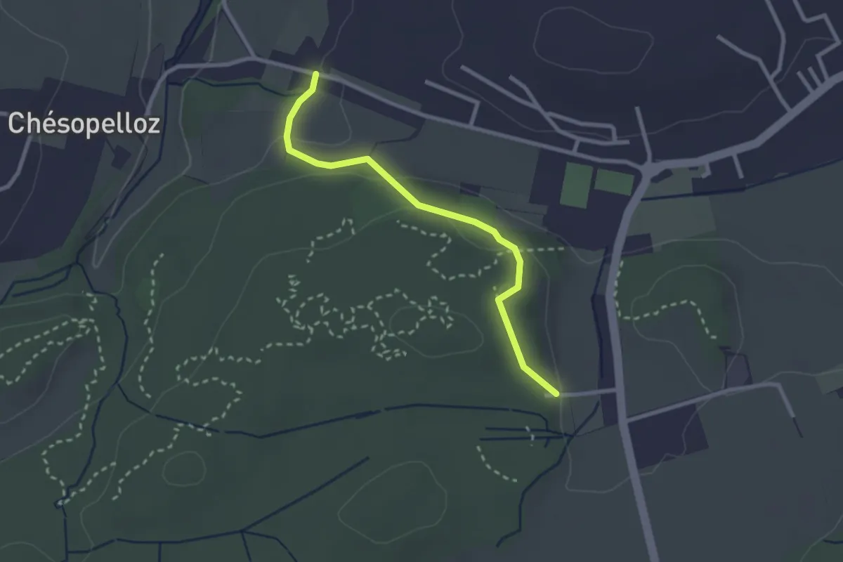
Easy · Trail
Corminboeuf Village Suisse - Chésopelloz
2.5 km · ↑ 69 m · 44 min · 14 km away
Easy · Trail
Grossi Schanz – Kallnach
5.7 km · ↑ 52 m · 1 h 27 min · 14 km away
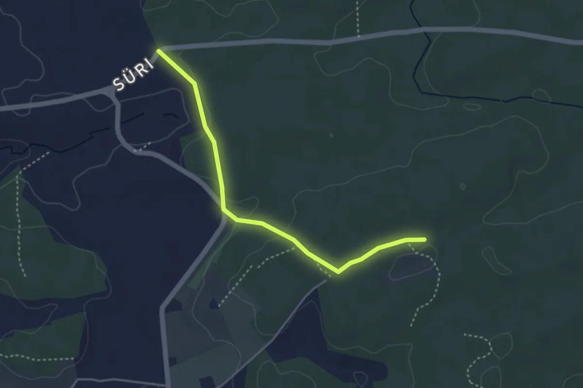
Easy · Trail
Süri - Mösli
3.6 km · ↑ 74 m · 1 h · 14 km away