Trails near Murten
251 hikes starting within 15 km, nearest first.
Nearest first, page 5 of 6
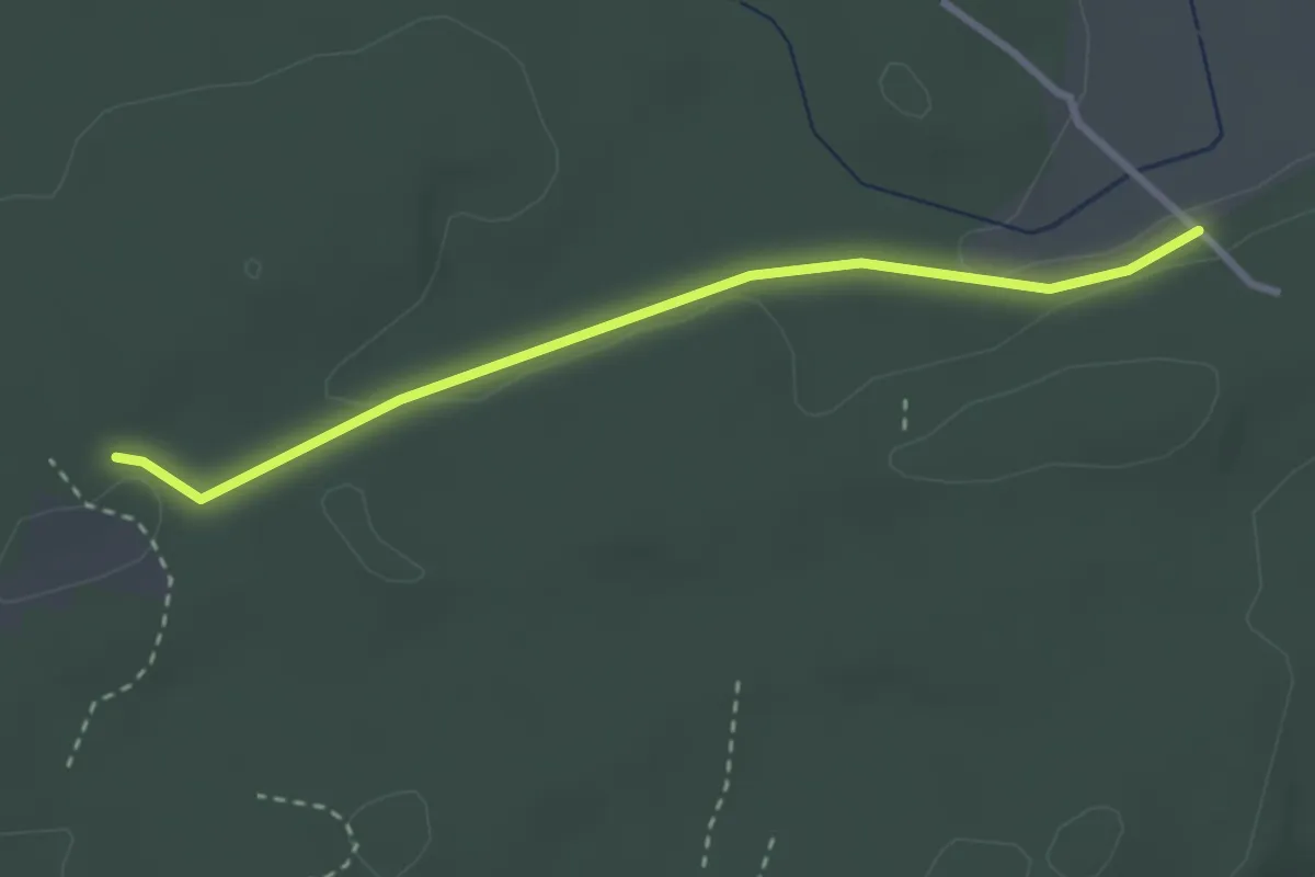
Easy · Trail
Mösli - Heitere
2.9 km · ↑ 18 m · 43 min · 14 km away
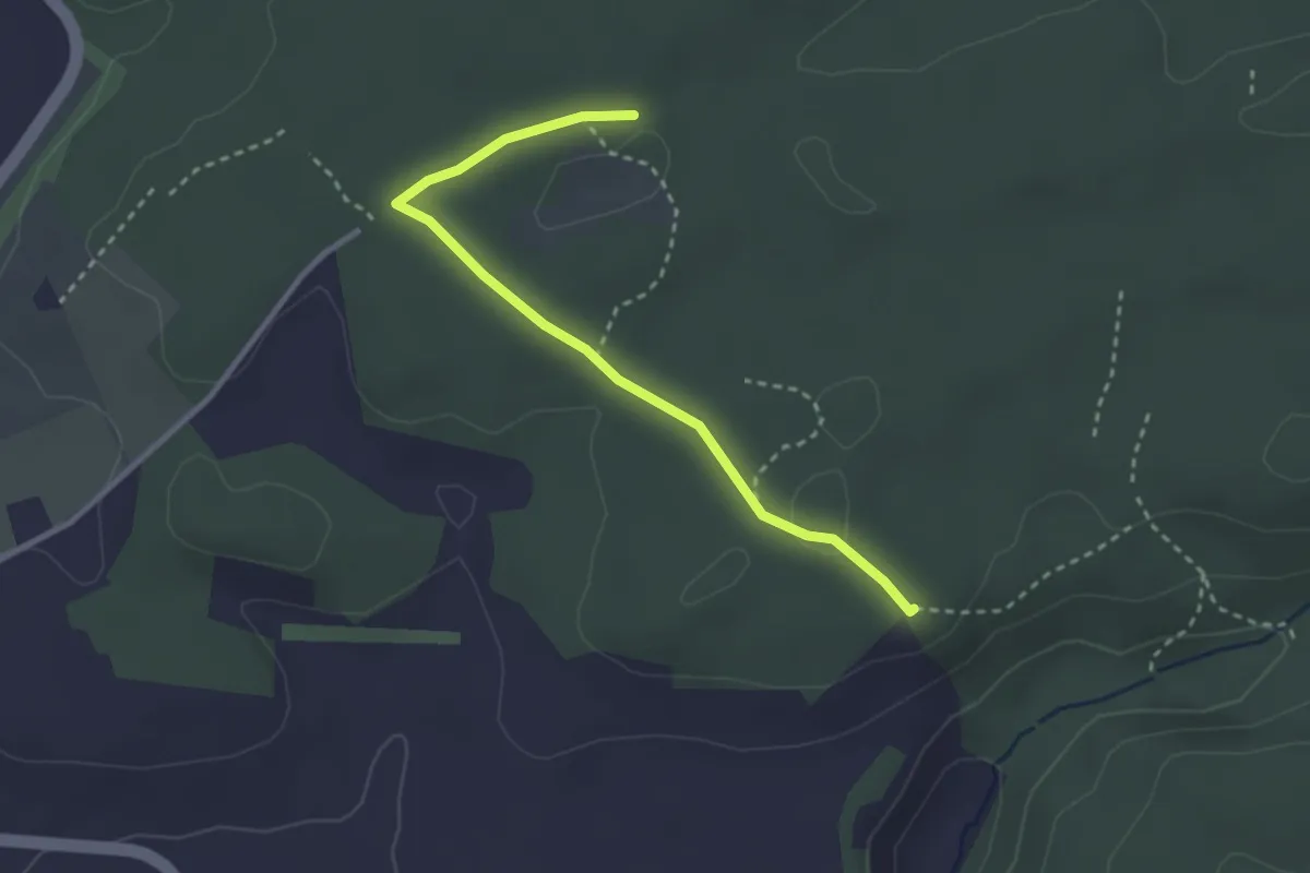
Easy · Trail
Mösli - Tannholzweid
2.9 km · ↑ 35 m · 46 min · 14 km away
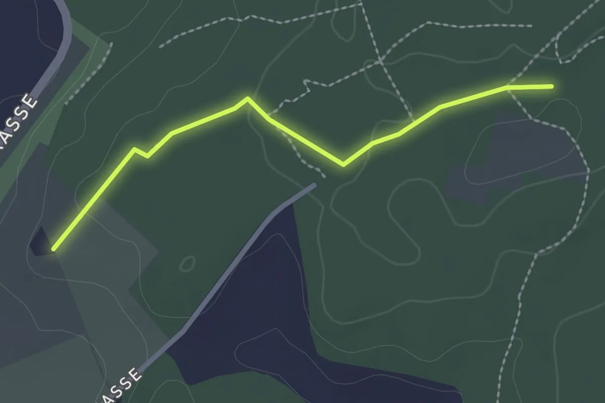
Easy · Trail
Brambergdenkmal - Mösli
2.2 km · ↑ 27 m · 35 min · 14 km away
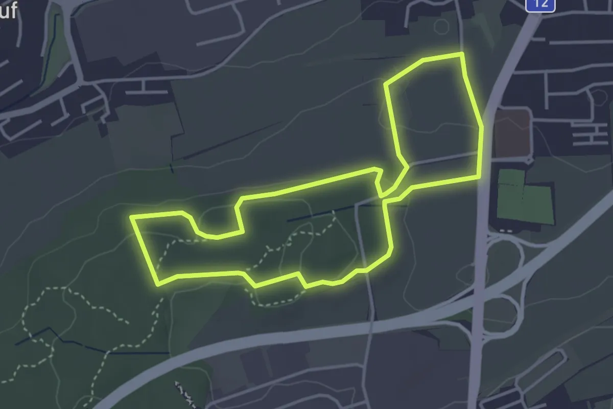
Easy · Trail
Sentier - découverte Givisiez (à pied)
3.6 km · ↑ 83 m · 1 h 5 min · 14 km away
Easy · Trail
Saint-Blaise – Frochaux
7.8 km · ↑ 263 m · 2 h 24 min · 14 km away
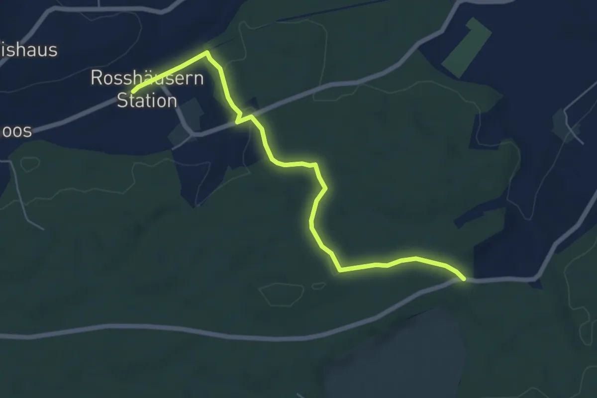
Easy · Trail
Fuessacher - Rosshäusern/Station
5.6 km · ↑ 125 m · 1 h 36 min · 14 km away
Easy · Trail
Niederried – Mülau
4.7 km · ↑ 119 m · 1 h 22 min · 14 km away
Easy · Trail
Hagniwald – Hang
3.6 km · ↑ 62 m · 59 min · 14 km away
Easy · Trail
Hang – Gurzelen
4.2 km · ↑ 94 m · 1 h 12 min · 14 km away
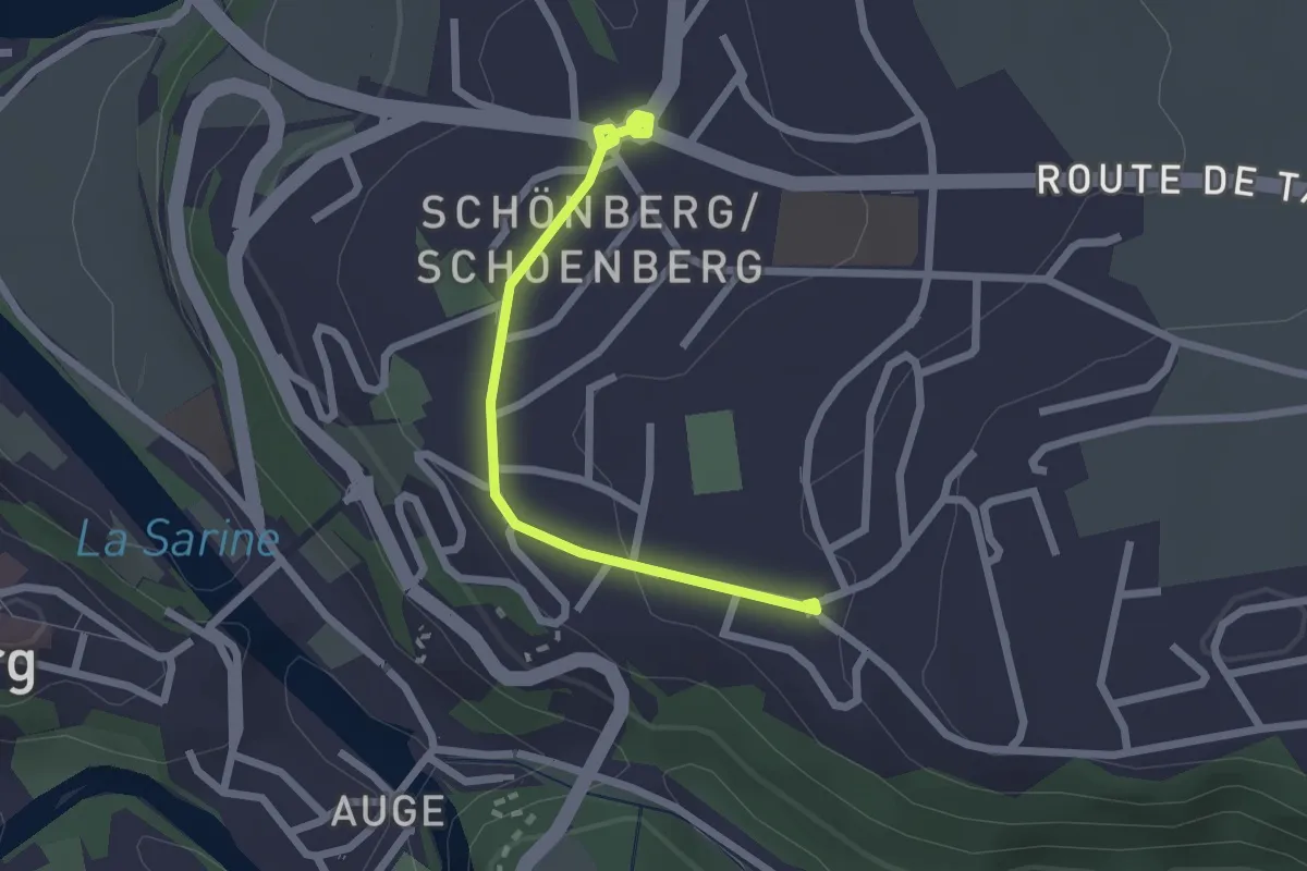
Easy · Trail
Freiburg St. Barthelemy - Schönberg
2.2 km · ↑ 31 m · 35 min · 14 km away
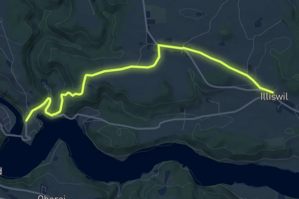
Medium · Trail
Illiswil - Wickacher
10.7 km · ↑ 277 m · 3 h 7 min · 14 km away
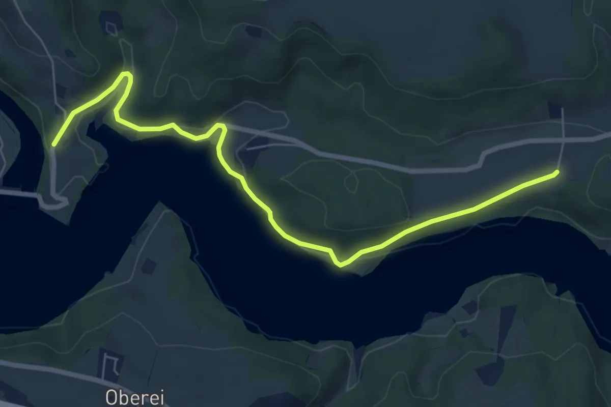
Easy · Trail
Steinisweg - Wickacker
7.0 km · ↑ 177 m · 2 h 2 min · 14 km away
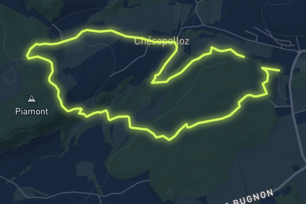
Easy · Trail
Dragon bleu 🐉 - Au fil de l'eau (1h10m ou 2h) - Corminboeuf
7.0 km · ↑ 191 m · 2 h 9 min · 14 km away
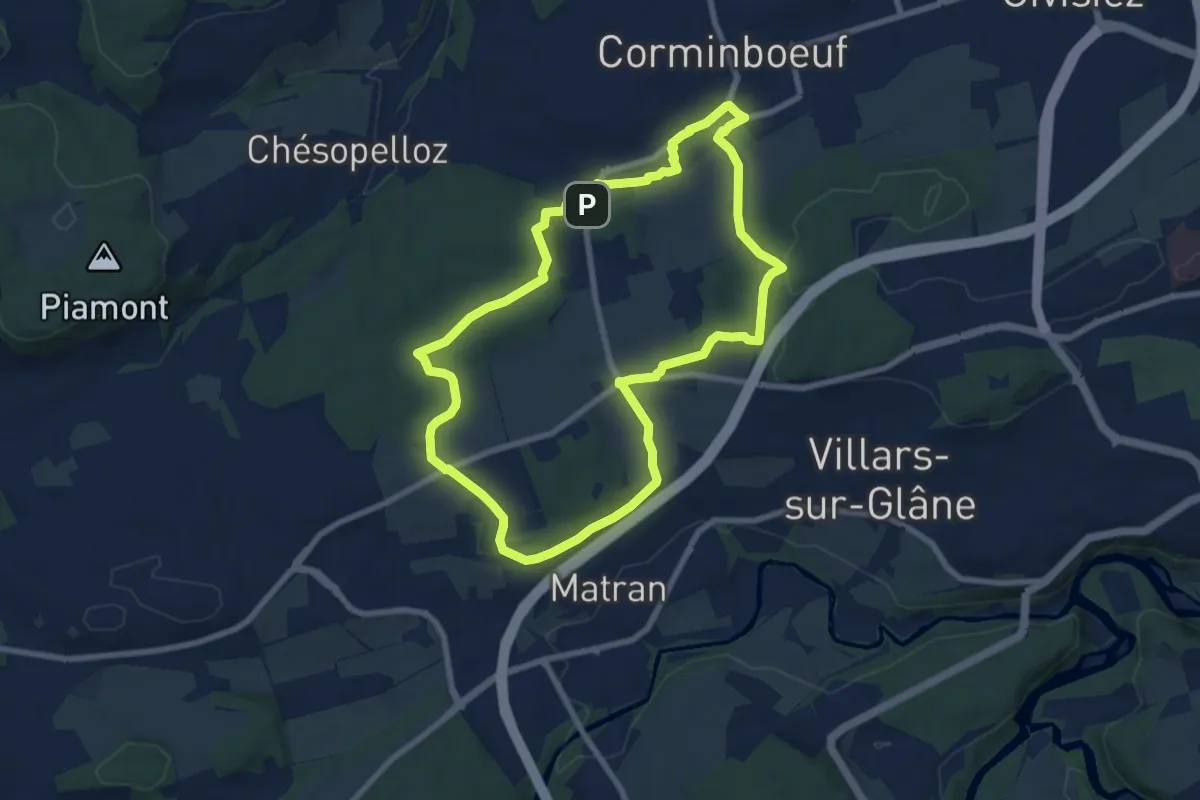
Easy · Trail
Dragon gris 🐉 - Histoire et de patrimoine (1h40m) - Corminboeuf
7.9 km · ↑ 131 m · 2 h 16 min · 14 km away
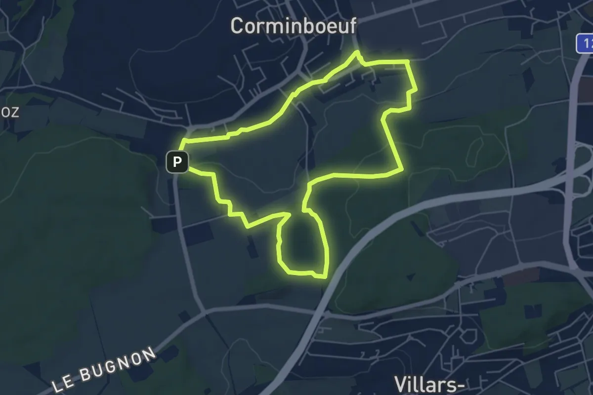
Easy · Trail
Dragon rouge 🐉 - Faune et flore (1h10m) - Corminboeuf
5.4 km · ↑ 109 m · 1 h 35 min · 14 km away
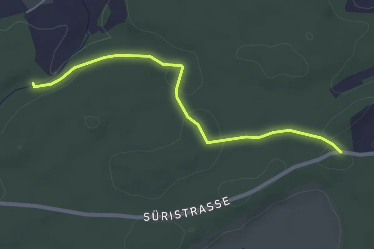
Easy · Trail
Fuessacher - Hollerengraben
3.9 km · ↑ 60 m · 1 h 3 min · 14 km away
Easy · Trail
Bargen / Station – Kallnach
5.6 km · ↑ 12 m · 1 h 21 min · 14 km away
Easy · Trail
Kallnach – Niederried
4.6 km · ↑ 79 m · 1 h 16 min · 14 km away
Medium · Trail
Treiten – Kallnach
14.8 km · ↑ 16 m · 3 h 32 min · 14 km away
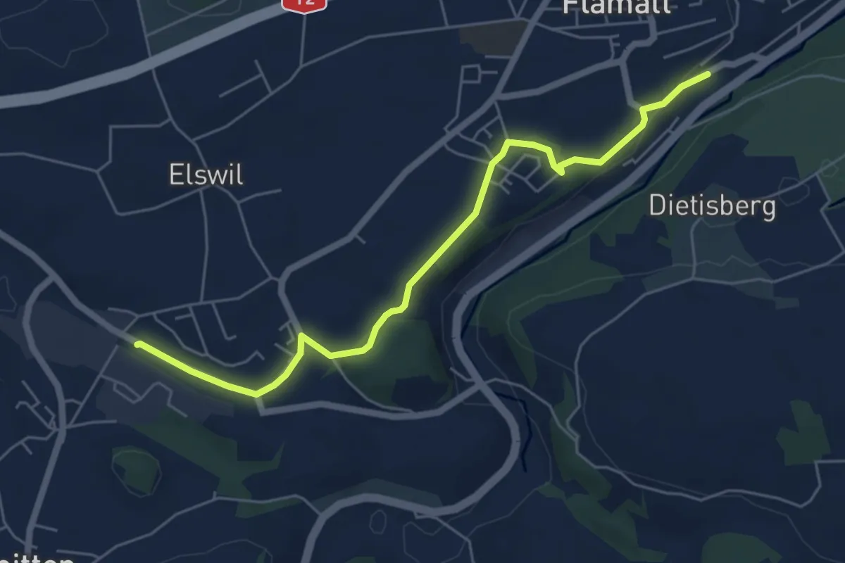
Easy · Trail
Wünnewil SBB - Schmitten Station
5.8 km · ↑ 104 m · 1 h 35 min · 14 km away
Easy · Trail
Hang – Lüscherz Hst. BTI
2.7 km · ↑ 91 m · 51 min · 14 km away
Easy · Trail
Lüscherz Hst. BTI – Siselen
5.2 km · ↑ 46 m · 1 h 20 min · 14 km away
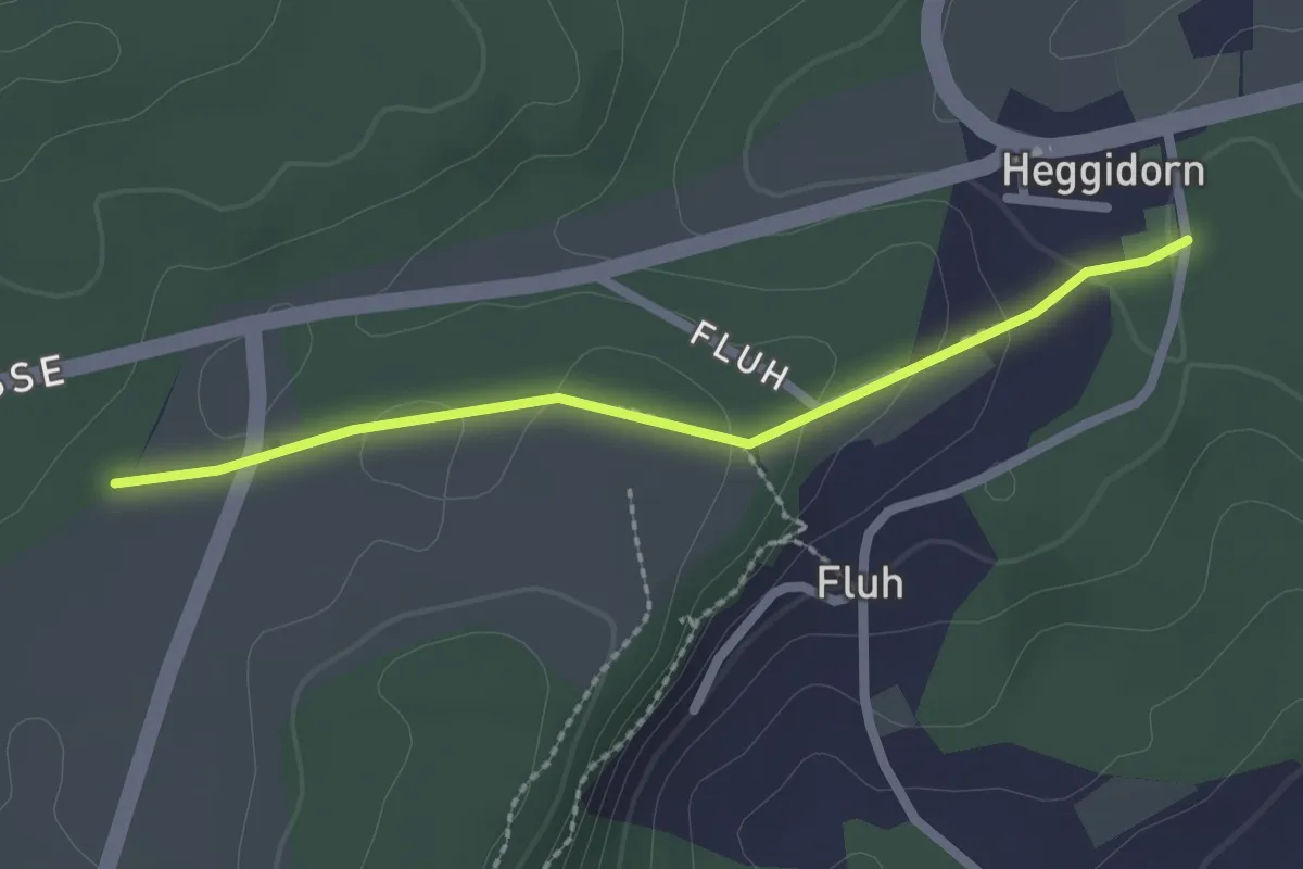
Easy · Trail
Obere Ledi - Heggidorn
2.1 km · ↑ 53 m · 37 min · 14 km away
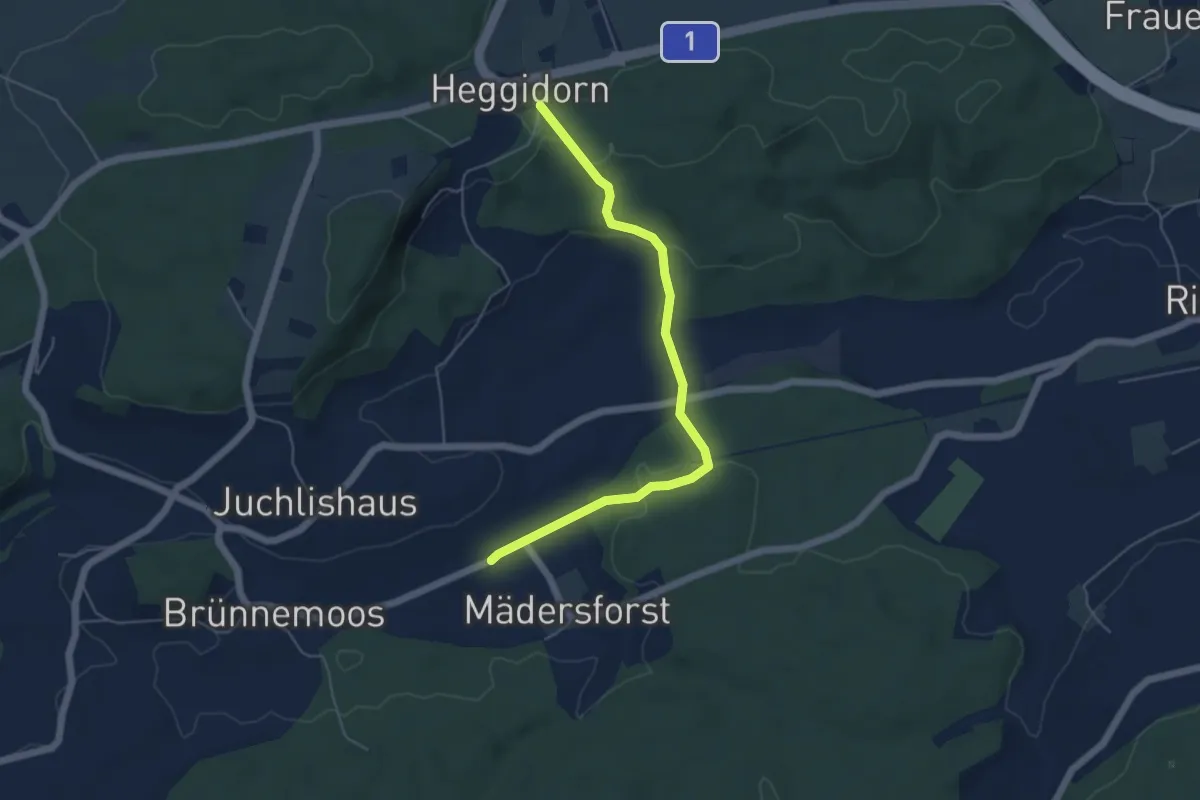
Easy · Trail
Rosshäusern/Station - Heggidorn
5.3 km · ↑ 157 m · 1 h 35 min · 14 km away
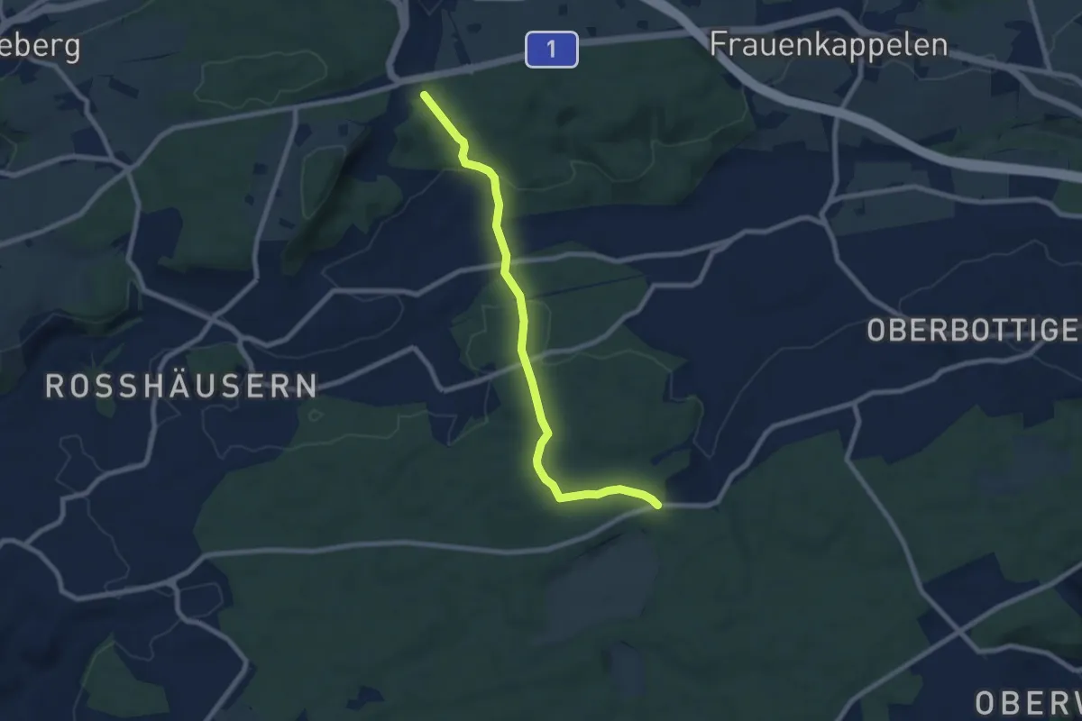
Easy · Trail
Heggidorn - Fuessacher
7.7 km · ↑ 218 m · 2 h 17 min · 14 km away
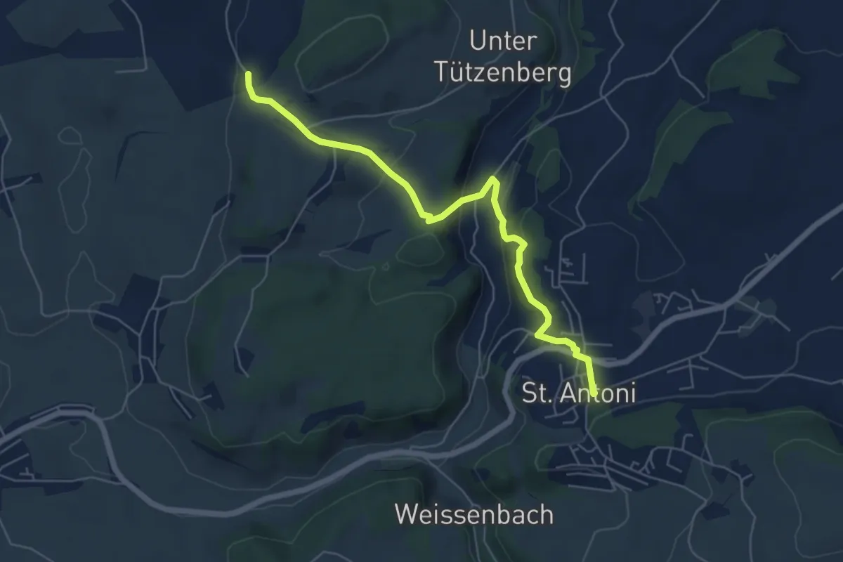
Easy · Trail
St. Antoni - Wiler
5.8 km · ↑ 279 m · 1 h 59 min · 14 km away
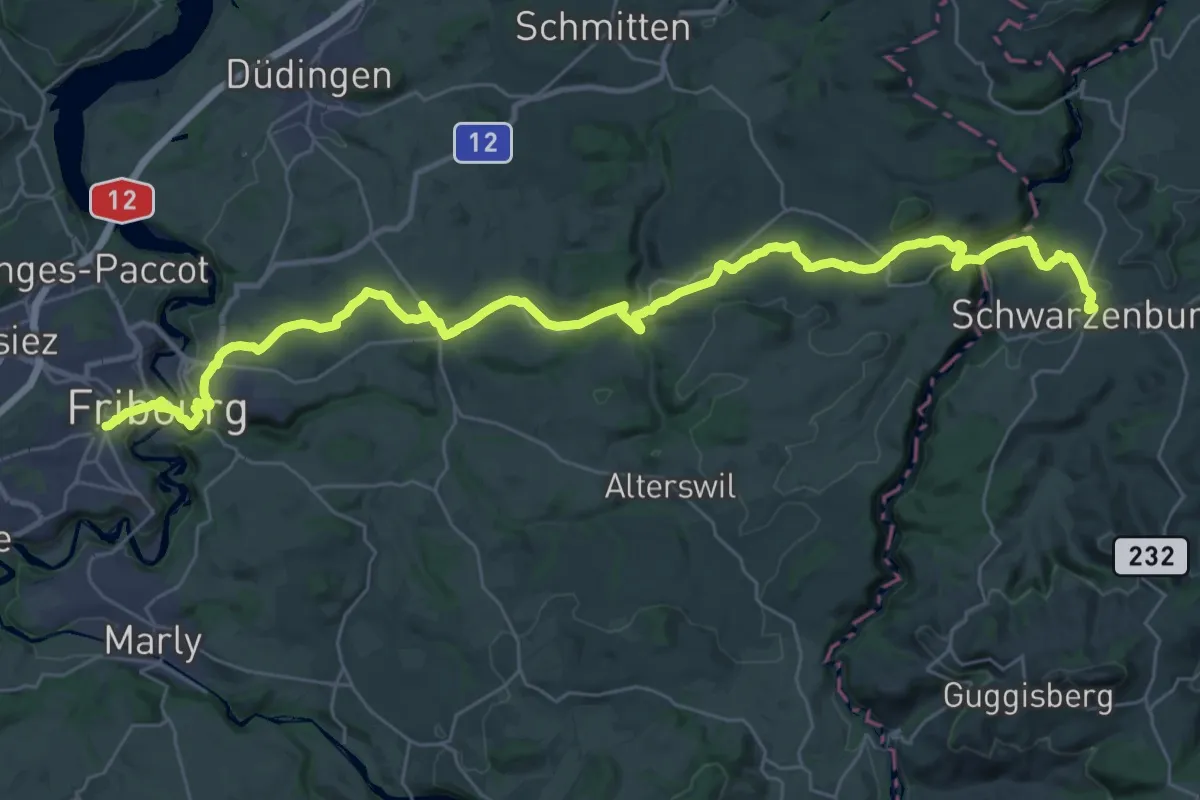
Demanding · Trail
ViaJacobi
20.7 km · ↑ 527 m · 6 h 14 min · 14 km away
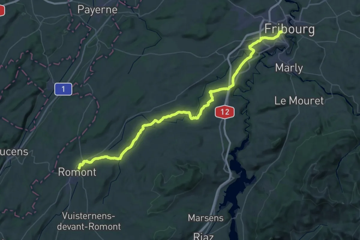
Demanding · Trail
ViaJacobi
27.3 km · ↑ 563 m · 7 h 59 min · 14 km away
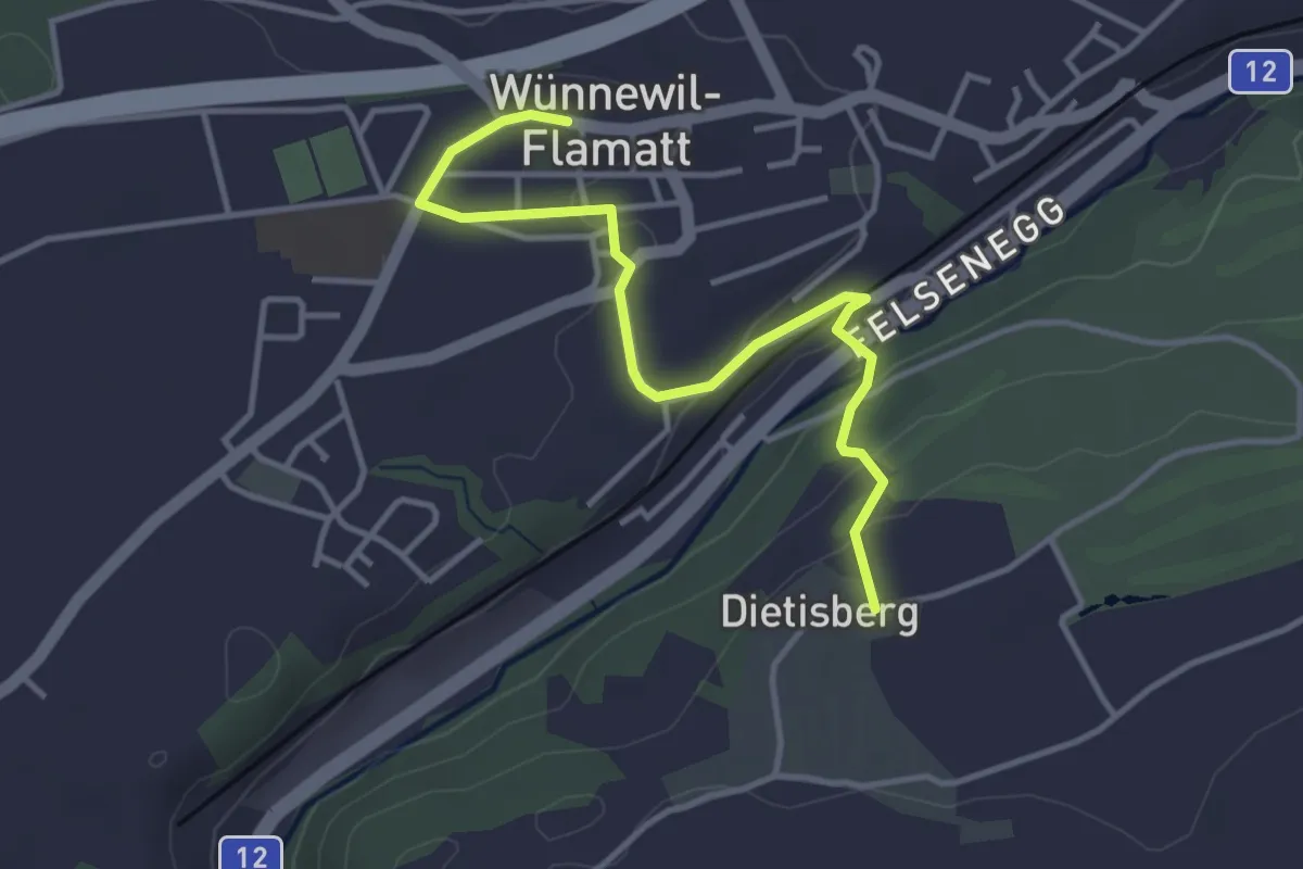
Easy · Trail
Sensler Bauernpfad Wünnewil
3.9 km · ↑ 98 m · 1 h 8 min · 14 km away
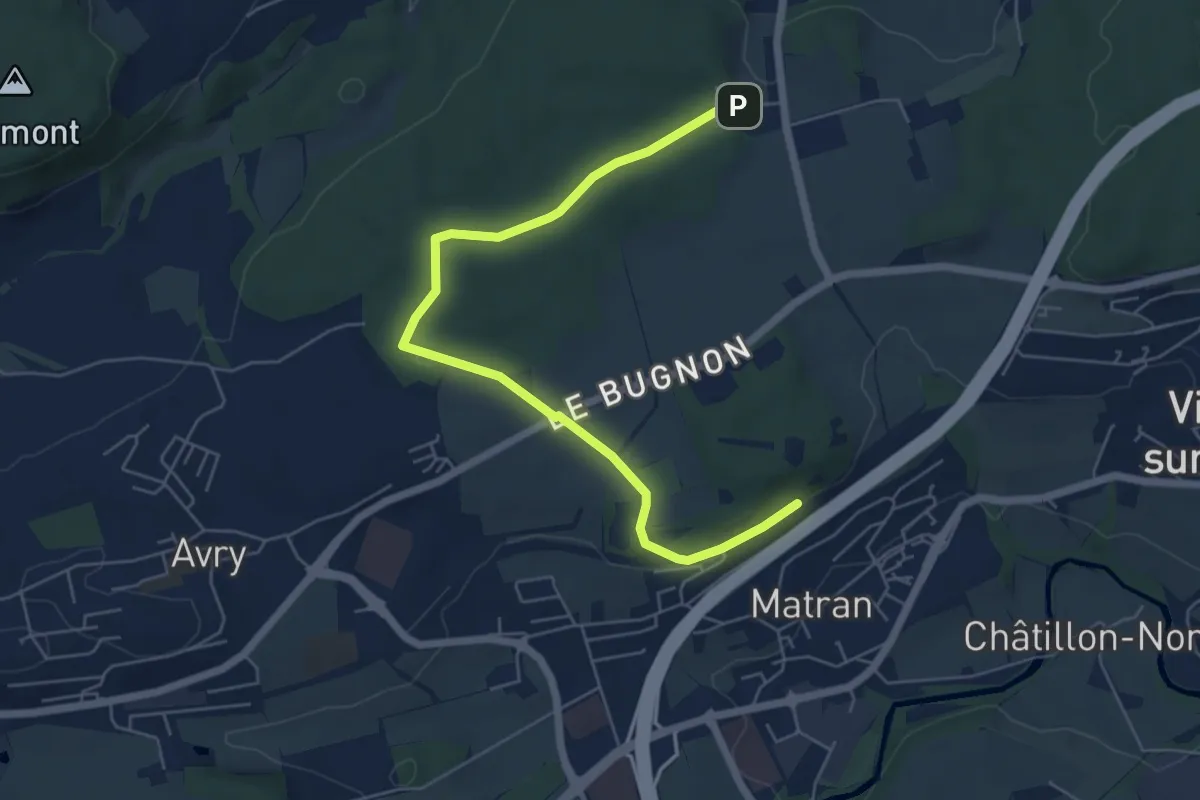
Easy · Trail
Village suisse - Matran
6.5 km · ↑ 79 m · 1 h 42 min · 14 km away
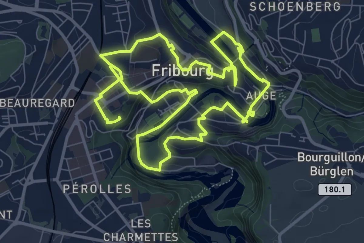
Medium · Trail
Golf Urbain Fribourg
13.8 km · ↑ 472 m · 4 h 17 min · 14 km away
Easy · Trail
Radelfingen – Detligen
7.2 km · ↑ 133 m · 1 h 59 min · 14 km away
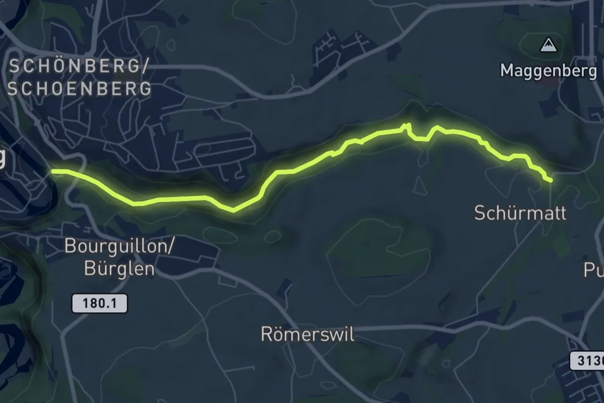
Easy · Trail
Freiburg/Fribourg - Balm/La Palme – Ameismüli
7.7 km · ↑ 250 m · 2 h 21 min · 14 km away
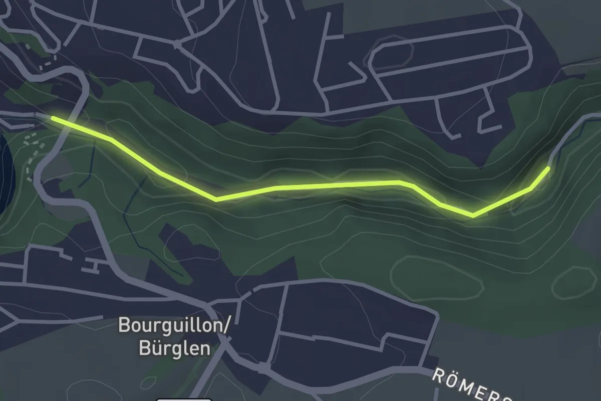
Easy · Trail
Fribourg, vieux moulins
2.7 km · ↑ 158 m · 59 min · 14 km away
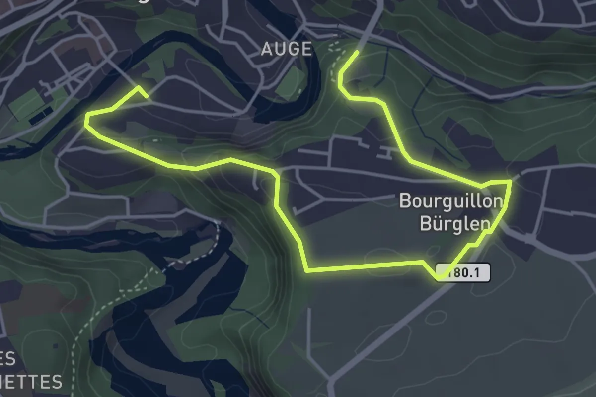
Easy · Trail
Freiburg - Bourguillon
5.5 km · ↑ 258 m · 1 h 51 min · 14 km away
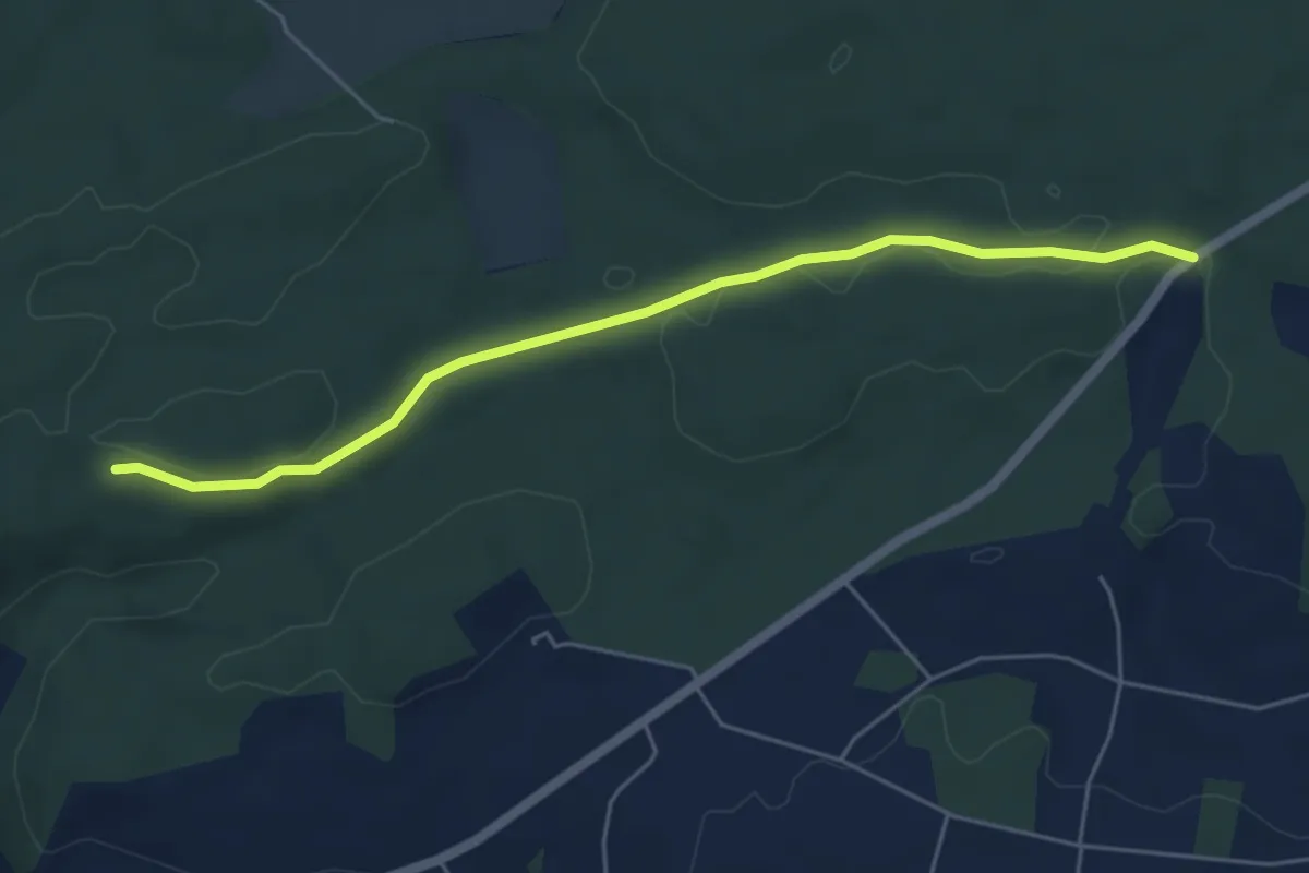
Easy · Trail
Sunnenrain - Bim Stundstei
5.3 km · ↑ 72 m · 1 h 25 min · 15 km away
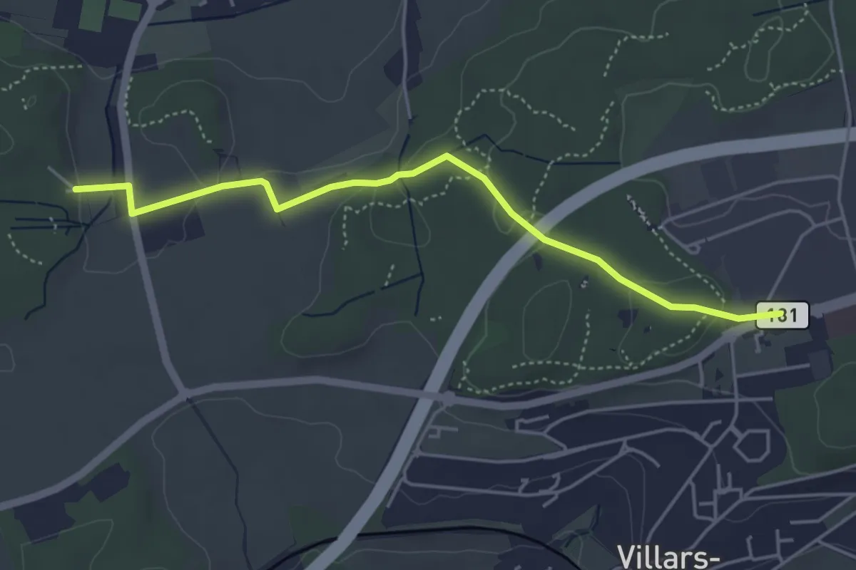
Easy · Trail
Villars-sur-Glâne Moncor - Corminboeuf Village Suisse
4.6 km · ↑ 101 m · 1 h 18 min · 15 km away
Easy · Trail
La Neuveville – Le Landeron
4.3 km · ↑ 19 m · 1 h 3 min · 15 km away
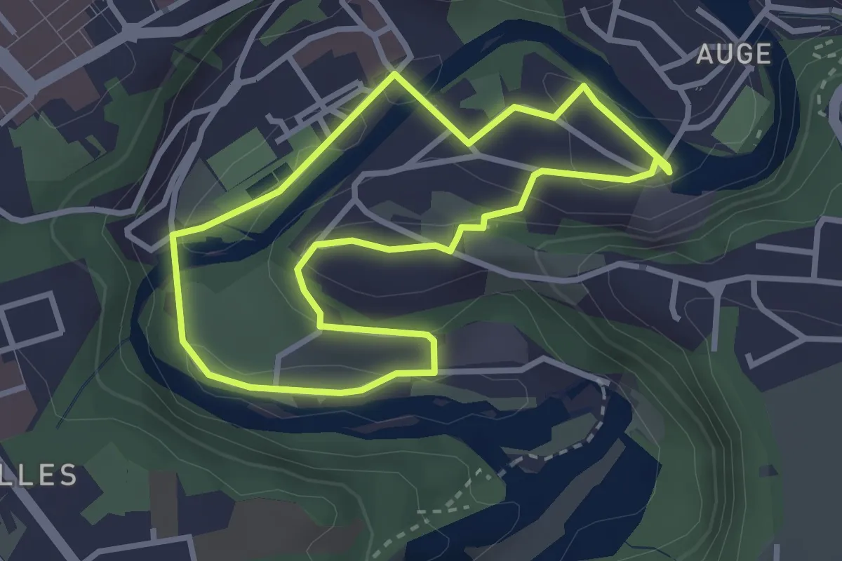
Easy · Trail
Tour en Basse-Ville
2.7 km · ↑ 99 m · 53 min · 15 km away
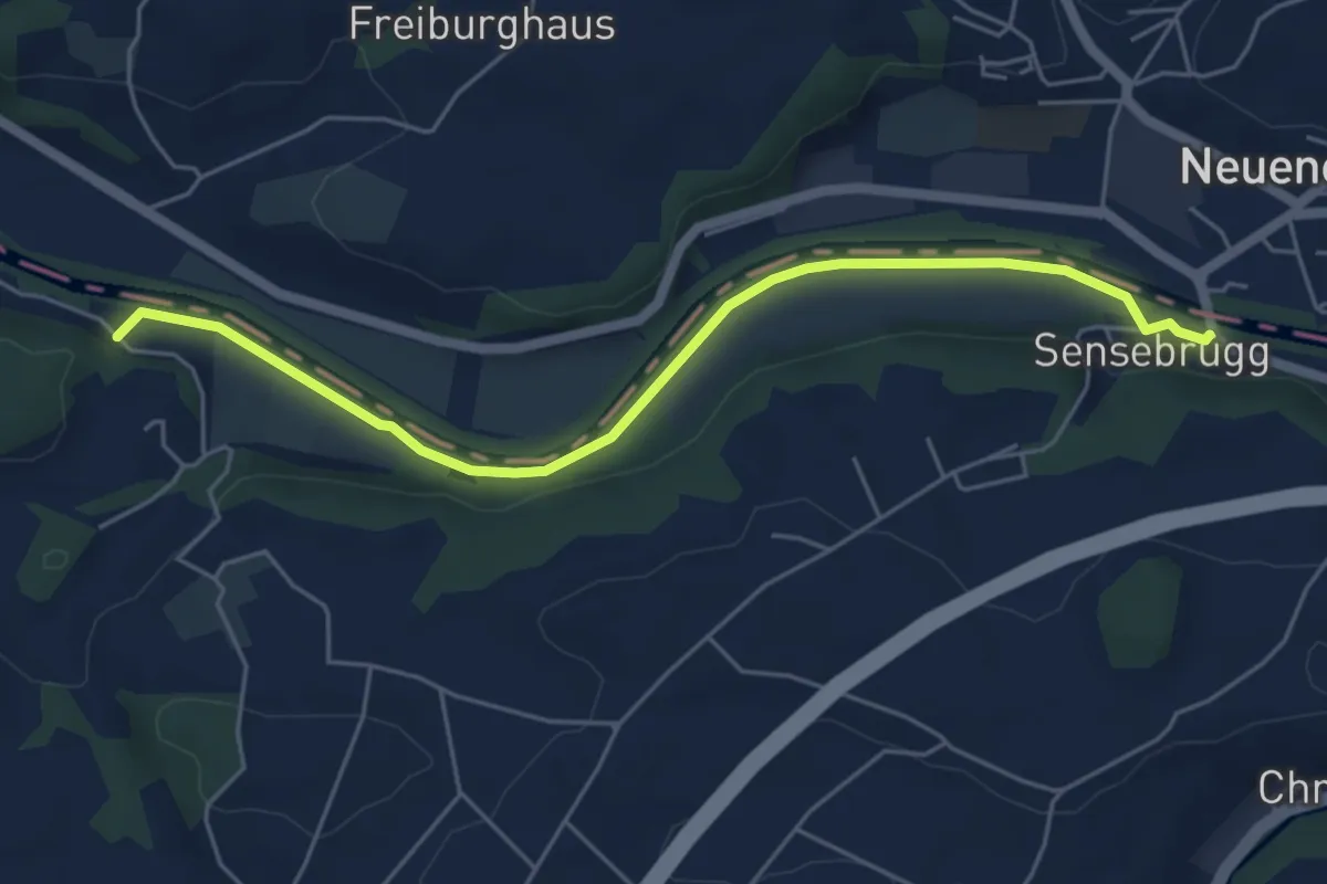
Easy · Trail
Sensebrücke – Noflenau
5.5 km · ↑ 34 m · 1 h 23 min · 15 km away
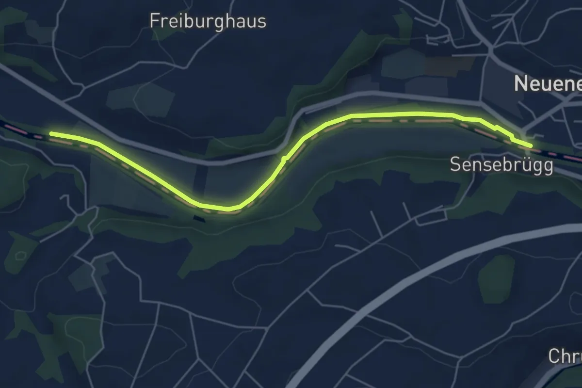
Easy · Trail
Rieldiau – Sensebrücke
5.5 km · ↑ 25 m · 1 h 21 min · 15 km away
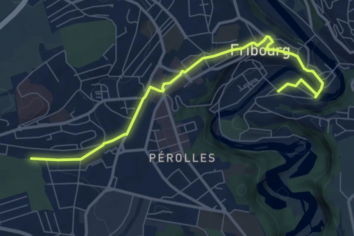
Medium · Trail
Enges - fixme
9.4 km · ↑ 280 m · 2 h 50 min · 15 km away
Easy · Trail
Cormanon - Planche Sup.
7.2 km · ↑ 166 m · 2 h 3 min · 15 km away
Easy · Trail
Neuchâtel La Coudre - fixme
2.1 km · ↑ 51 m · 37 min · 15 km away
Easy · Trail
Le Landeron – La Neuveville
5.0 km · ↑ 82 m · 1 h 22 min · 15 km away
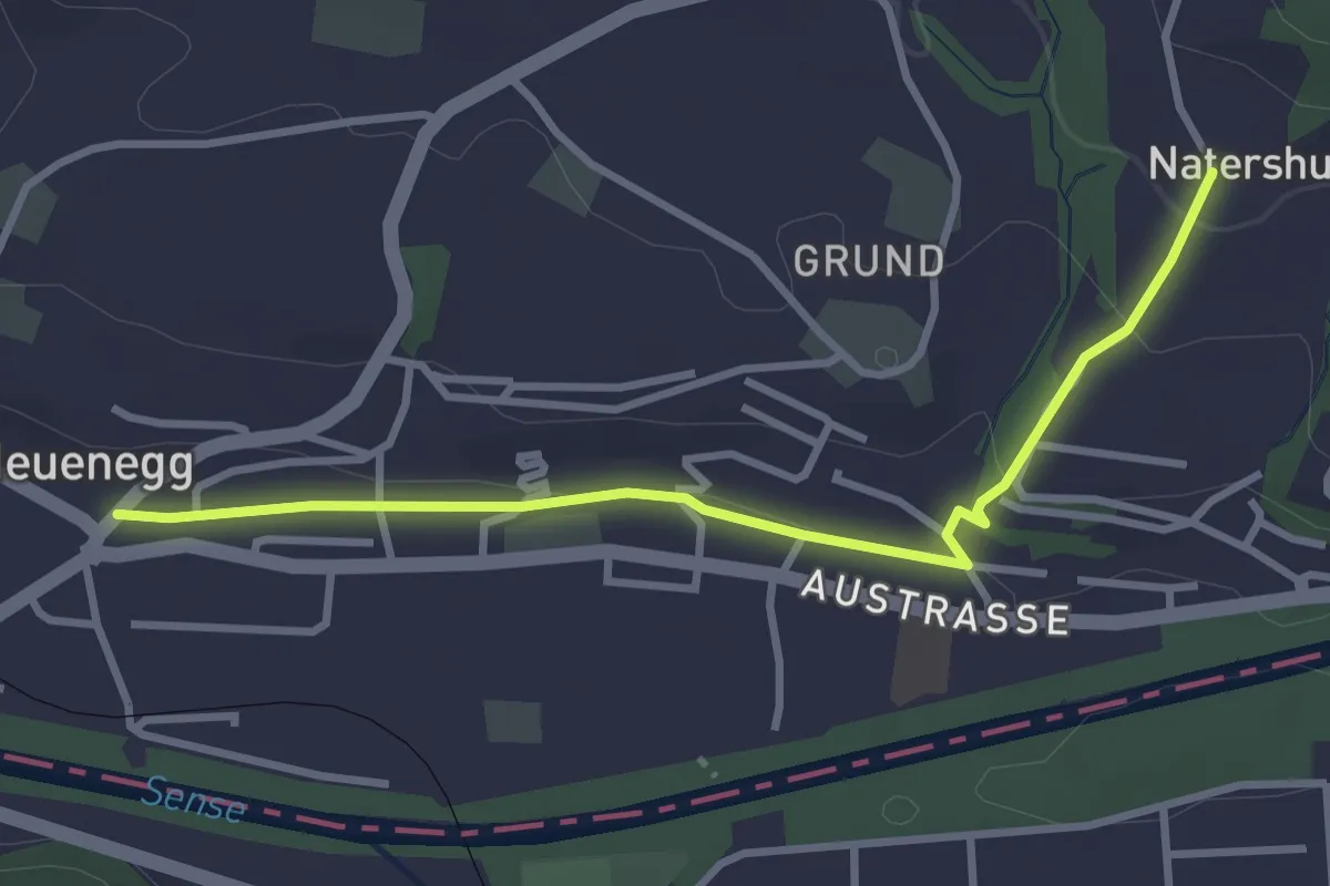
Easy · Trail
Neuenegg - Natershus
3.3 km · ↑ 67 m · 55 min · 15 km away
Easy · Trail
Chemin de la Châtelainie - Neuchâtel La Coudre
2.5 km · ↑ 138 m · 53 min · 15 km away
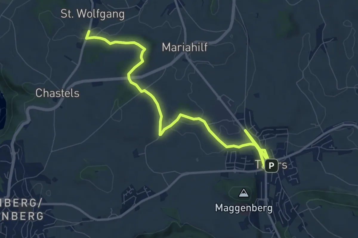
Medium · Trail
St. Wolfgang - Tafers
10.6 km · ↑ 110 m · 2 h 44 min · 15 km away