Trails near Opfikon
588 hikes starting within 15 km, nearest first.
Nearest first, page 8 of 13
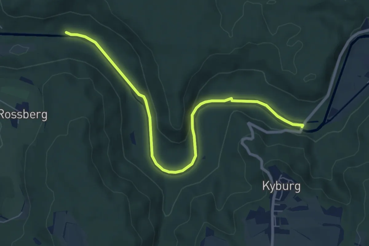
Easy · Trail
Brunibrugg – Kyburgerbrugg
6.8 km · ↑ 117 m · 1 h 52 min · 11 km away
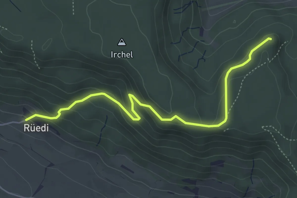
Easy · Trail
Rüedi – Heerenbänkli Irchelturm
5.2 km · ↑ 265 m · 1 h 48 min · 12 km away
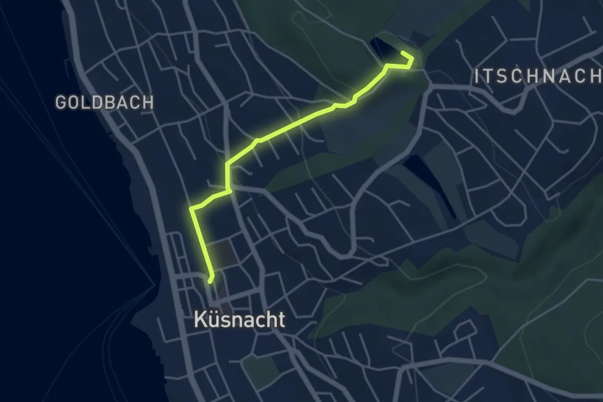
Easy · Trail
Küsnacht – Rumensee
3.4 km · ↑ 127 m · 1 h 5 min · 12 km away
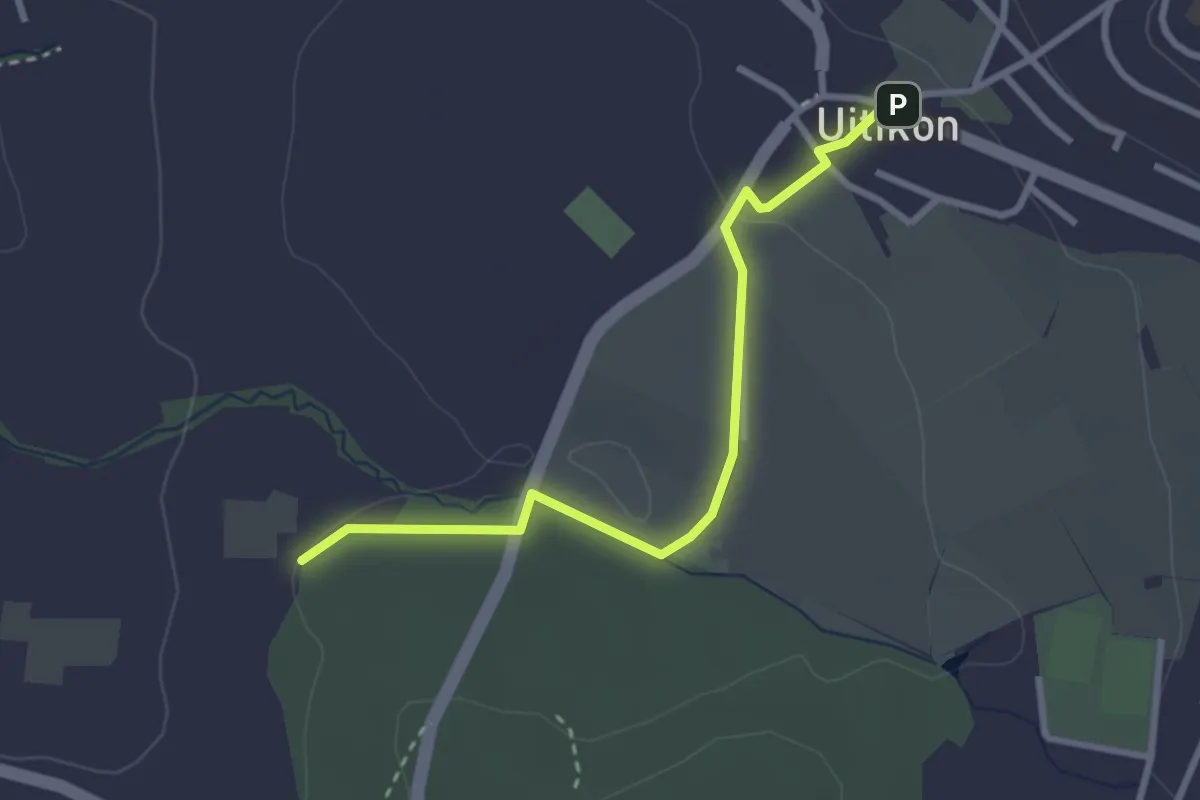
Easy · Trail
Uitikon - Leerbreiti
2.9 km · ↑ 41 m · 46 min · 12 km away
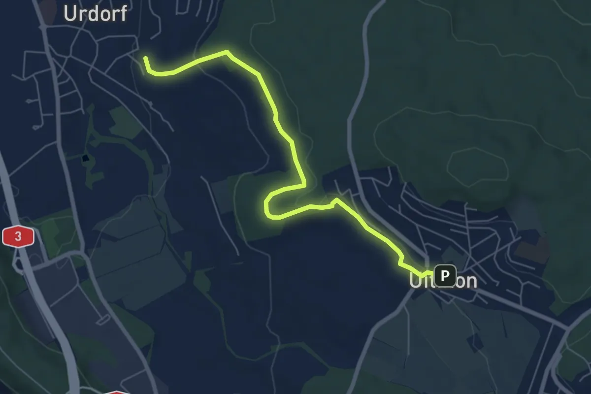
Easy · Trail
Weihermatt – Uitikon
6.3 km · ↑ 140 m · 1 h 47 min · 12 km away
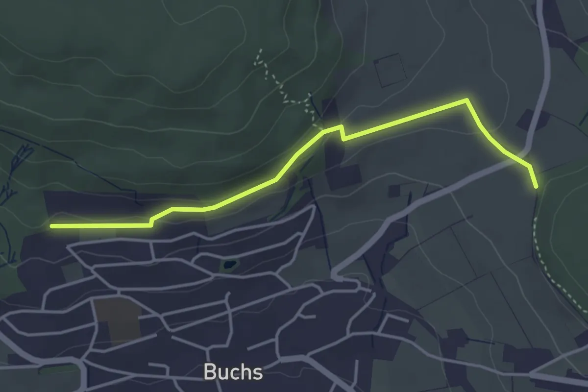
Easy · Trail
Hand – Pfaffenbühl
3.8 km · ↑ 104 m · 1 h 8 min · 12 km away
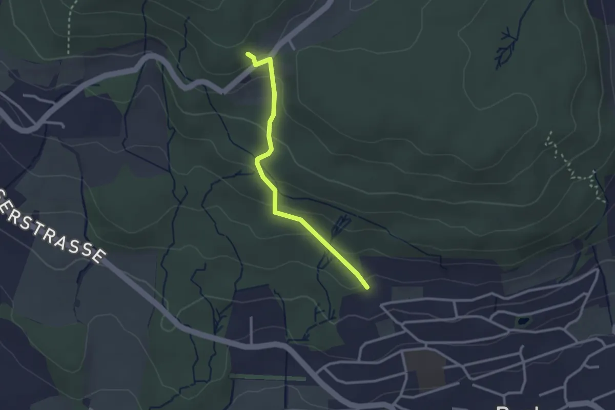
Easy · Trail
Pfaffenbühl – Mötschen
2.4 km · ↑ 136 m · 51 min · 12 km away
Medium · Summit
Greppe - Pfaffenbühl
14.3 km · ↑ 358 m · 4 h 9 min · 12 km away
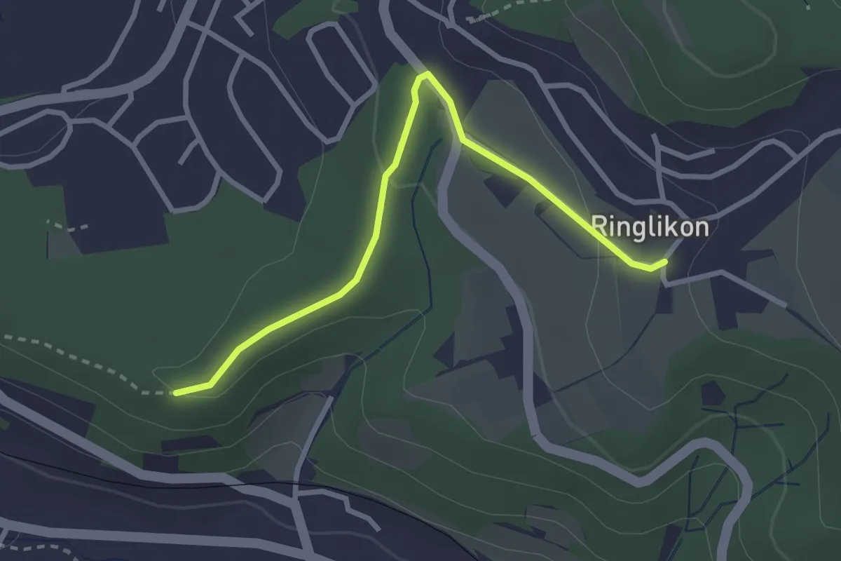
Easy · Trail
Maas – Ringlikon
2.7 km · ↑ 57 m · 46 min · 12 km away
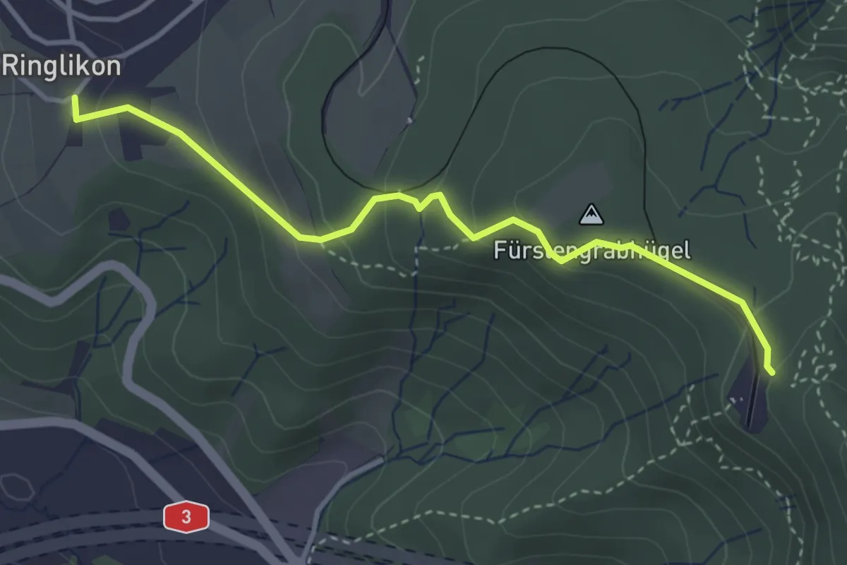
Easy · Trail
Ringlikon – Uetliberg
3.5 km · ↑ 190 m · 1 h 14 min · 12 km away
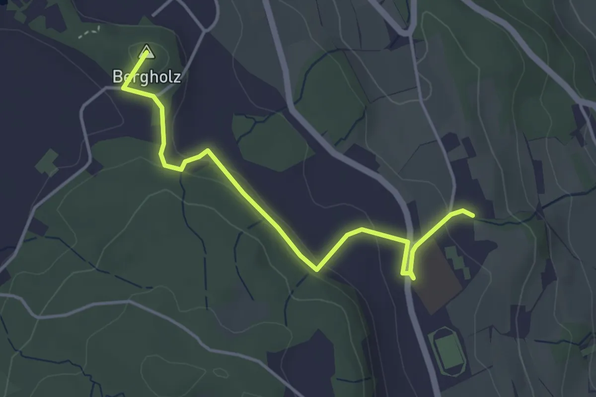
Easy · Summit
Süessblätz – Looren
4.0 km · ↑ 121 m · 1 h 12 min · 12 km away
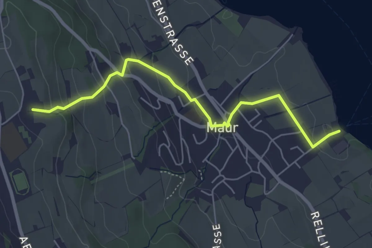
Easy · Trail
Maur Schifflände – Looren
5.0 km · ↑ 174 m · 1 h 34 min · 12 km away
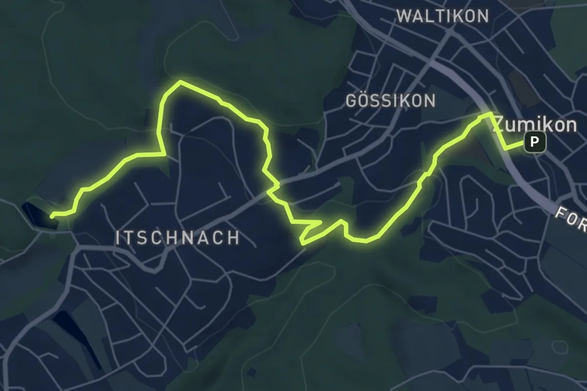
Medium · Trail
Rumensee – Zumikon
8.1 km · ↑ 282 m · 2 h 32 min · 12 km away
Easy · Trail
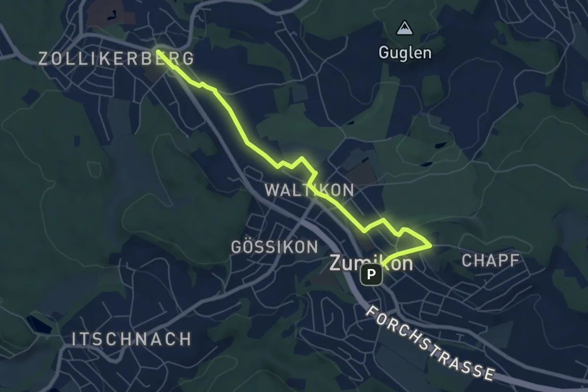
Zollikerberg – Zumikon
6.6 km · ↑ 172 m · 1 h 56 min · 12 km away
Medium · Trail
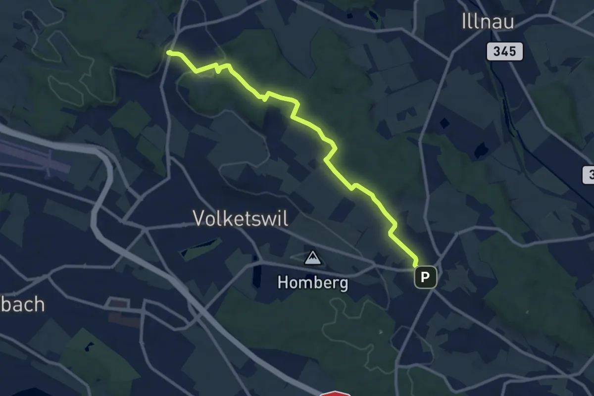
Gutenswil – Kindhausen
9.1 km · ↑ 185 m · 2 h 32 min · 12 km away
Easy · Trail
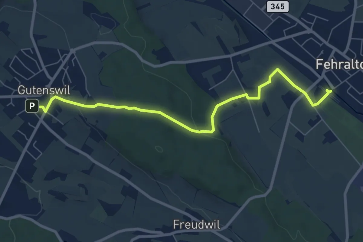
Gutenswil - Fehraltorf
6.6 km · ↑ 148 m · 1 h 53 min · 12 km away
Medium · Trail
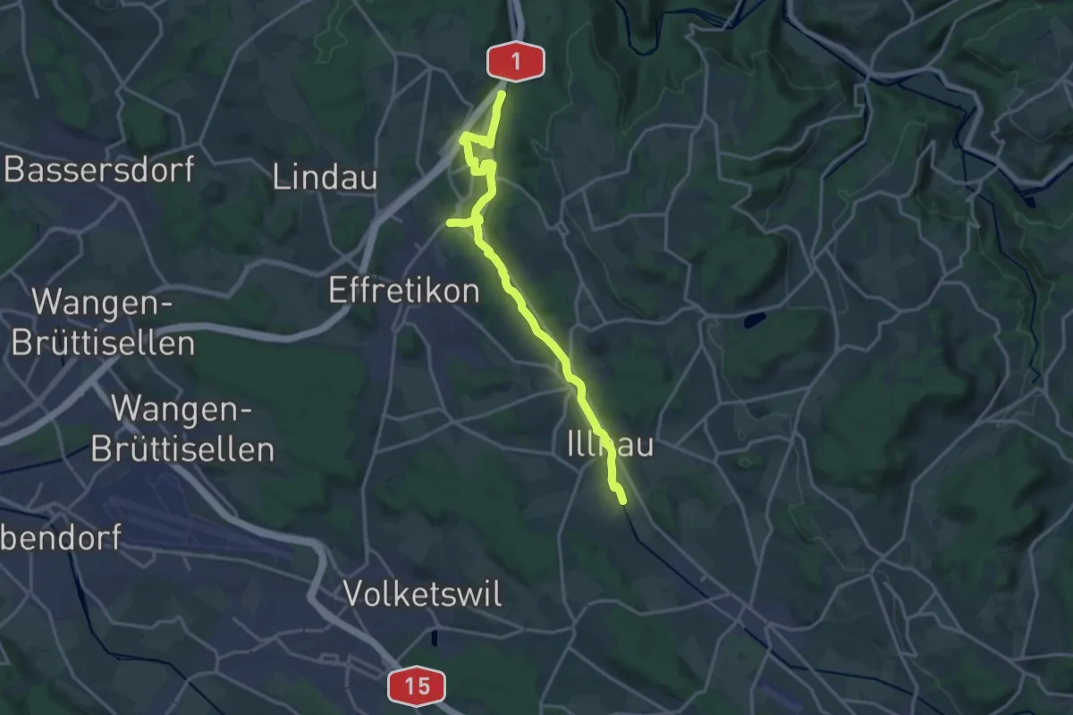
Kemptweg
17.5 km · ↑ 190 m · 4 h 33 min · 12 km away
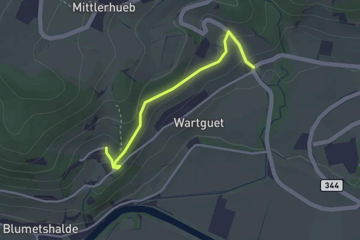
Easy · Trail
Museum – Talguet
2.3 km · ↑ 162 m · 54 min · 12 km away
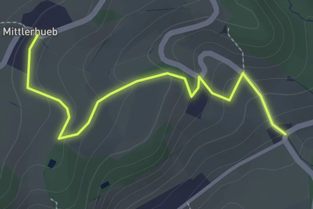
Easy · Trail
Mittlerhueb – Museum
2.4 km · ↑ 133 m · 51 min · 12 km away
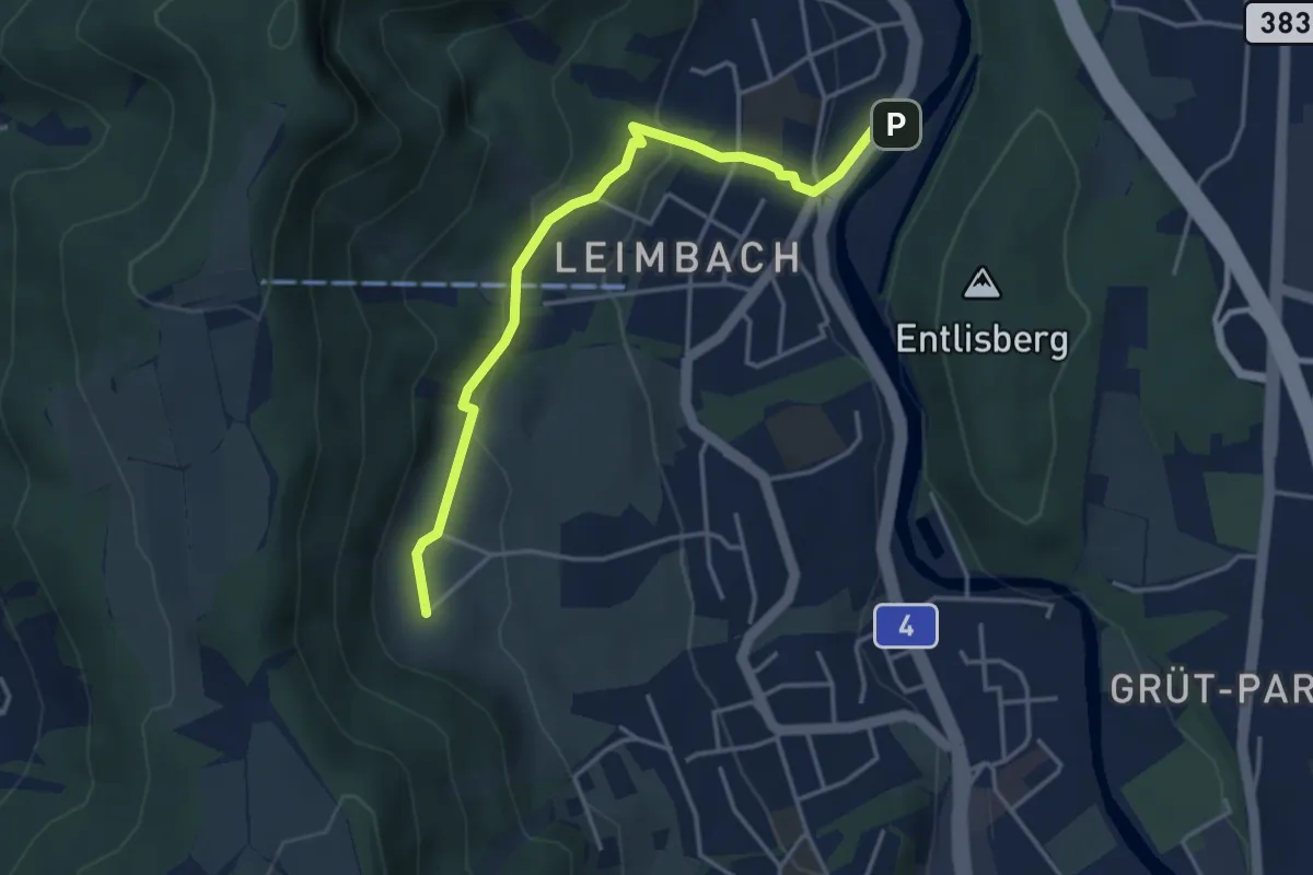
Medium · Trail
Ris - Leimbach
3.9 km · ↑ 160 m · 1 h 16 min · 12 km away
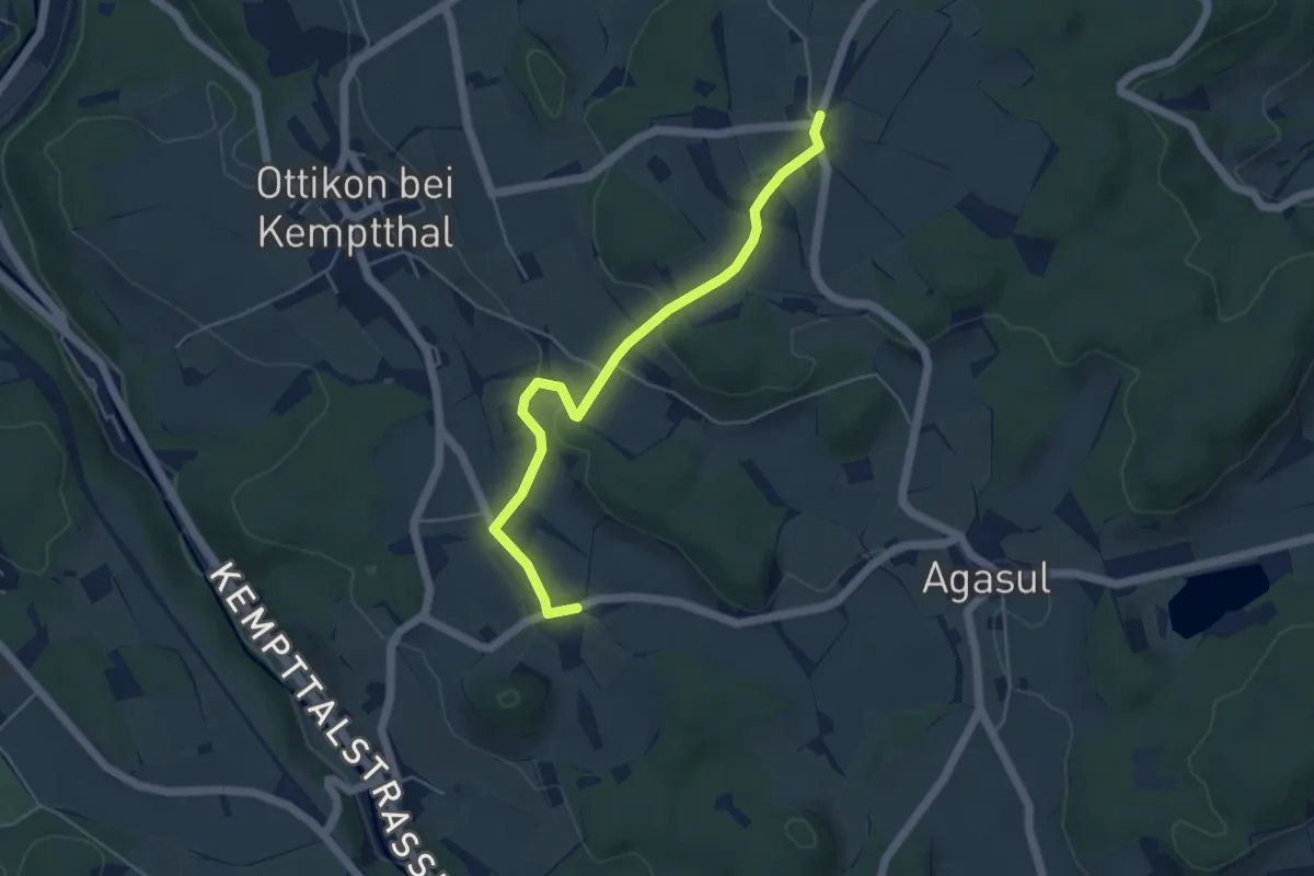
Easy · Trail
Luckhausen – First
4.8 km · ↑ 126 m · 1 h 25 min · 12 km away
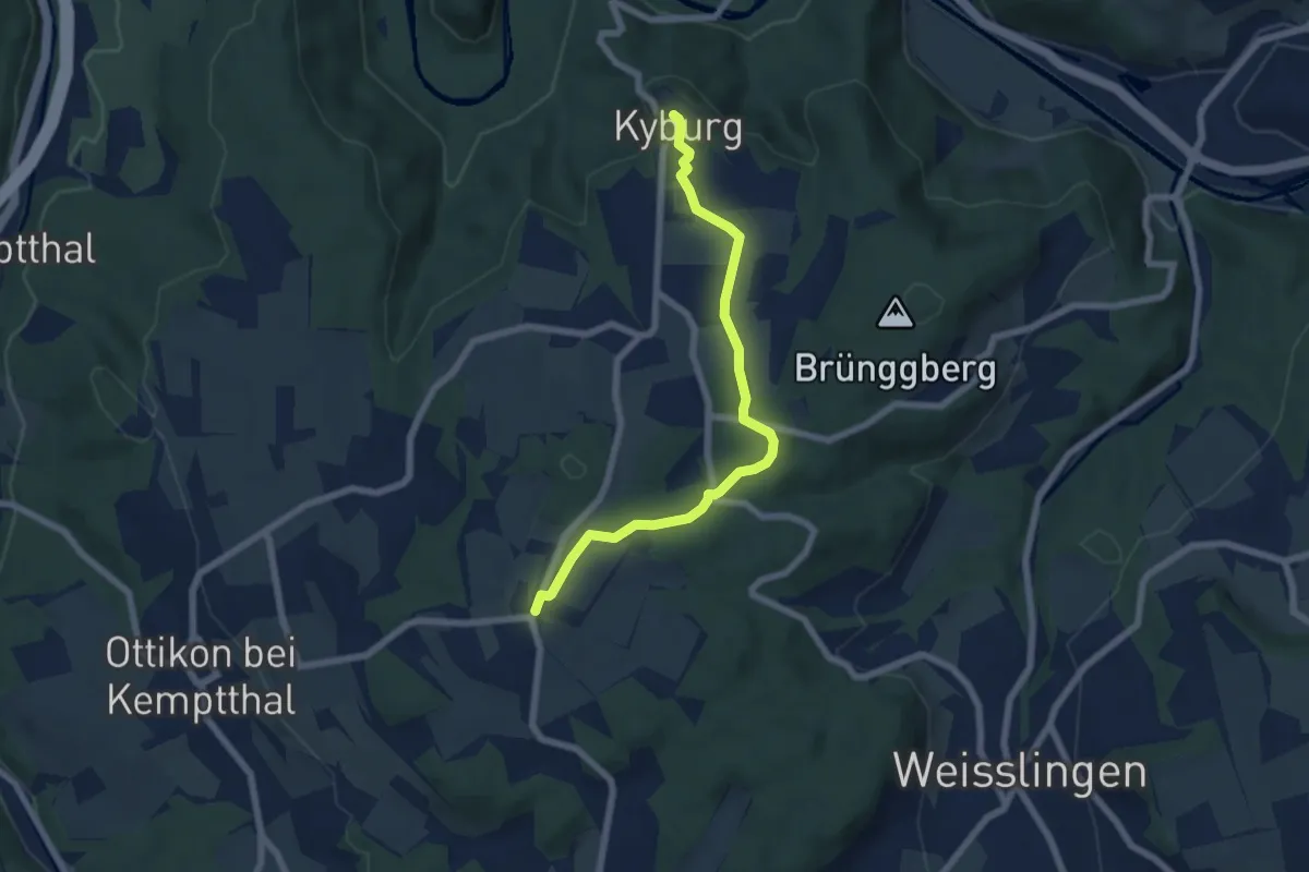
Easy · Trail
First – Kyburg
6.3 km · ↑ 76 m · 1 h 38 min · 12 km away
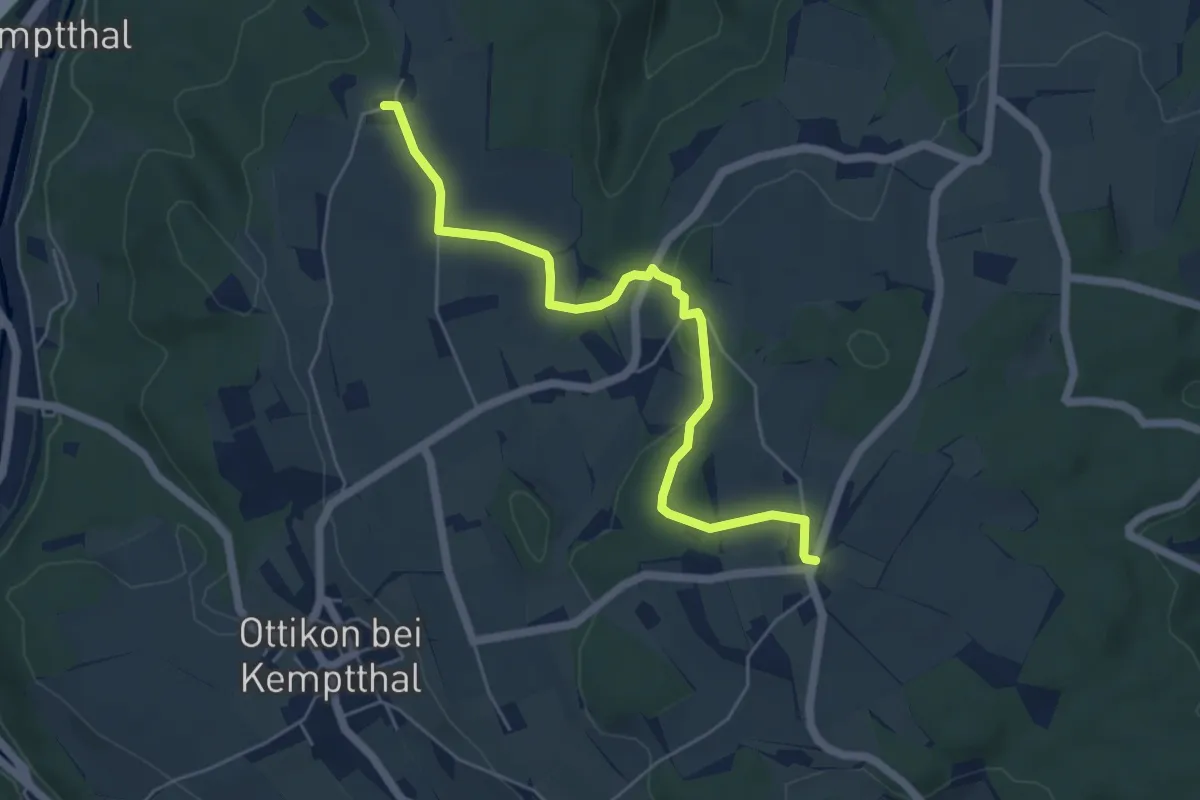
Easy · Trail
Kemleten – First
5.5 km · ↑ 88 m · 1 h 30 min · 12 km away
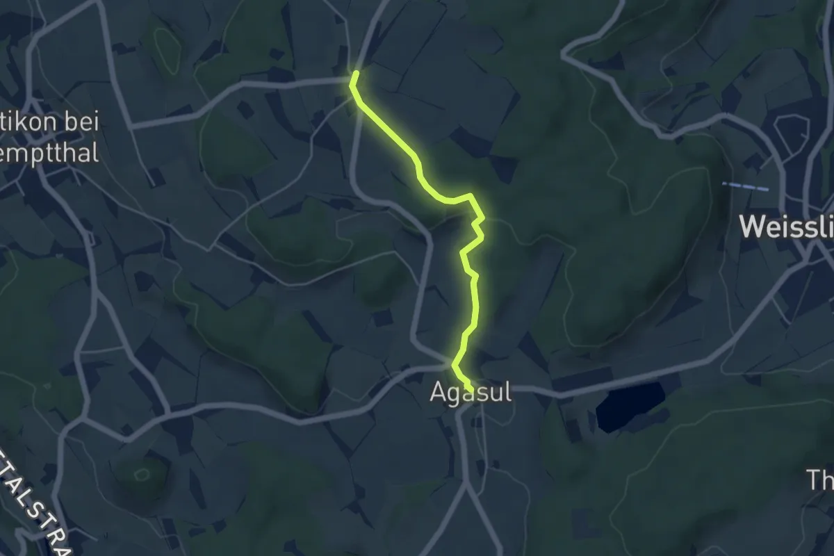
Easy · Trail
Agasul – First
3.8 km · ↑ 81 m · 1 h 4 min · 12 km away
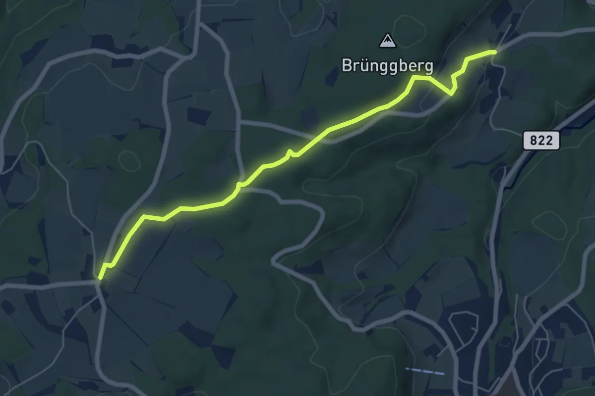
Easy · Trail
First – Brünggen
5.6 km · ↑ 133 m · 1 h 37 min · 12 km away
Easy · Trail
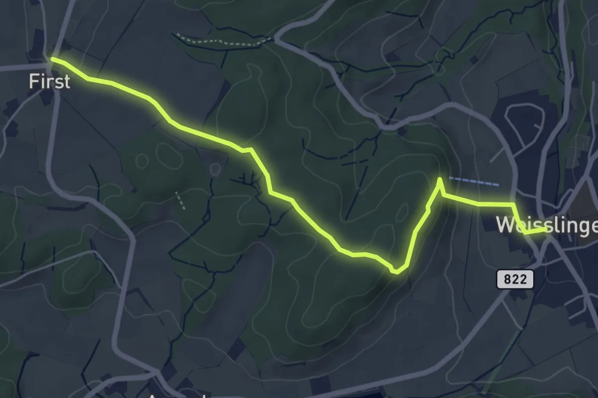
First – Weisslingen
5.6 km · ↑ 148 m · 1 h 39 min · 12 km away
Easy · Trail
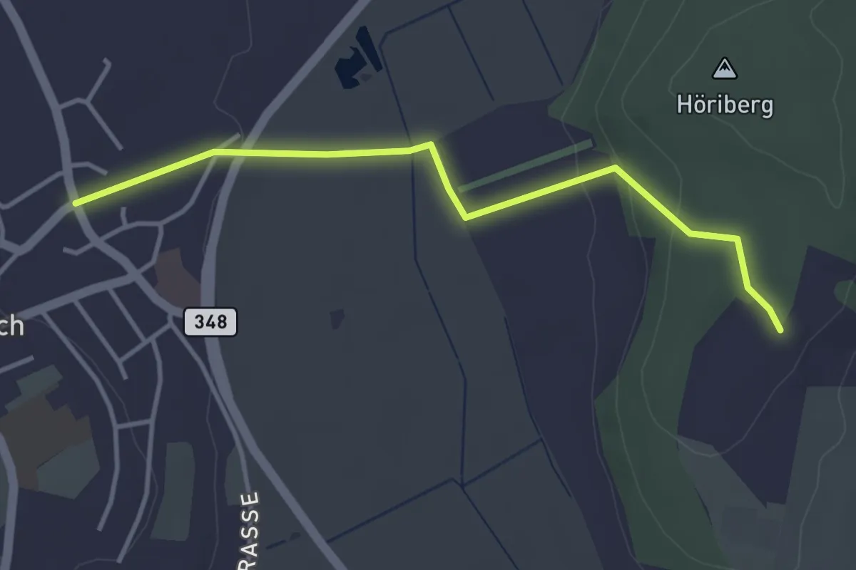
Höriberg – Neerach (Post)
3.6 km · ↑ 78 m · 1 h 1 min · 12 km away
Easy · Trail
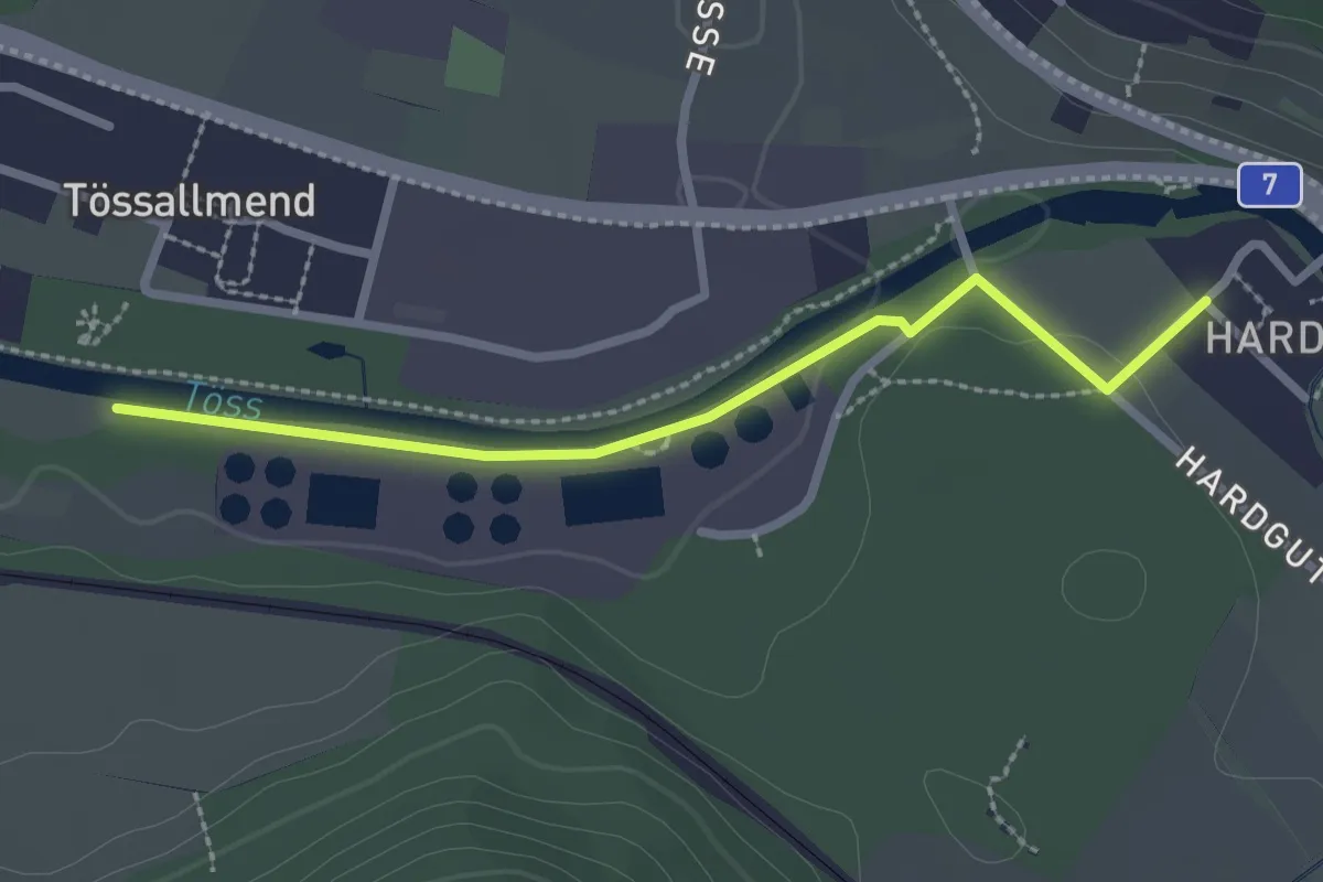
Hardau – Tiefster Punkt
2.4 km · ↑ 21 m · 37 min · 12 km away
Medium · Trail
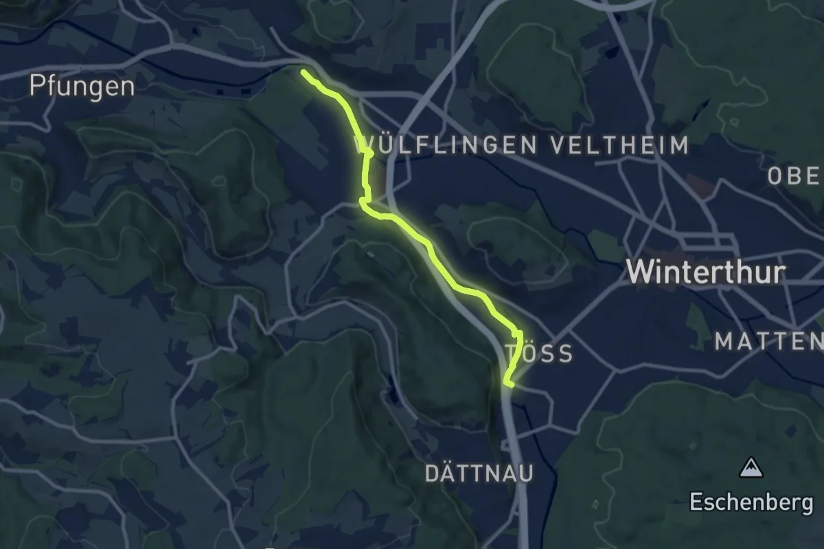
Winterthur Töss – Hardau
9.1 km · ↑ 51 m · 2 h 15 min · 12 km away
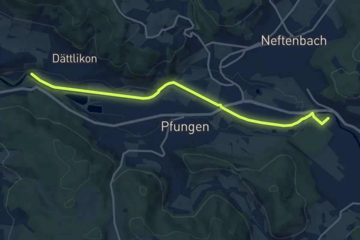
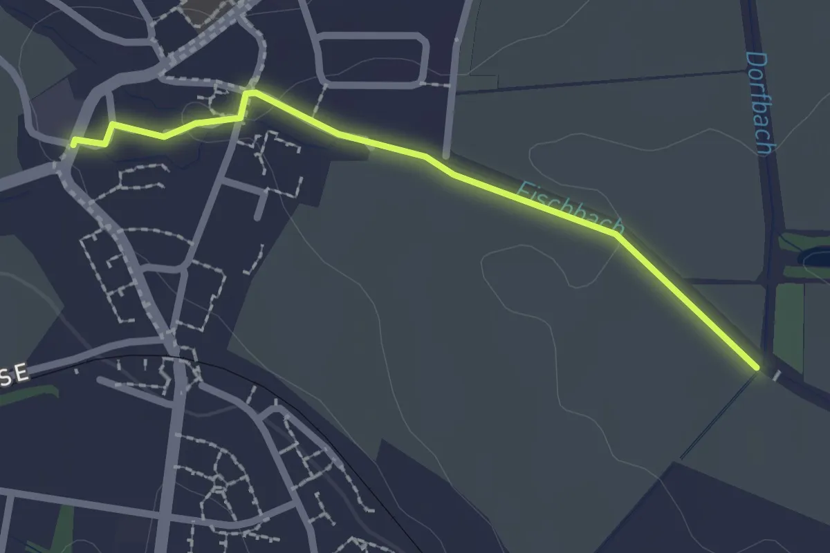
Medium · Trail
Hardau – Blindensteg
10.2 km · ↑ 81 m · 2 h 35 min · 12 km away
Easy · Trail
Nieder-Steinmaur - Storchensiedlung
2.0 km · ↑ 19 m · 31 min · 12 km away
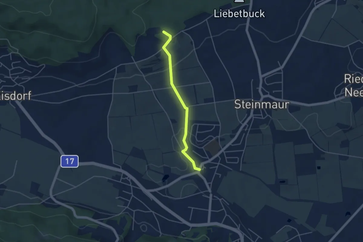
Easy · Trail
Egg - Nieder-Steinmaur
3.6 km · ↑ 97 m · 1 h 4 min · 12 km away
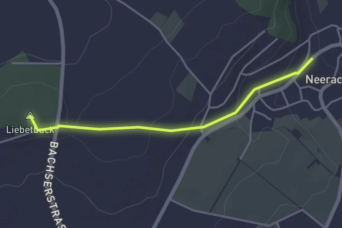
Easy · Summit
Neerach - Egg
3.1 km · ↑ 94 m · 56 min · 12 km away
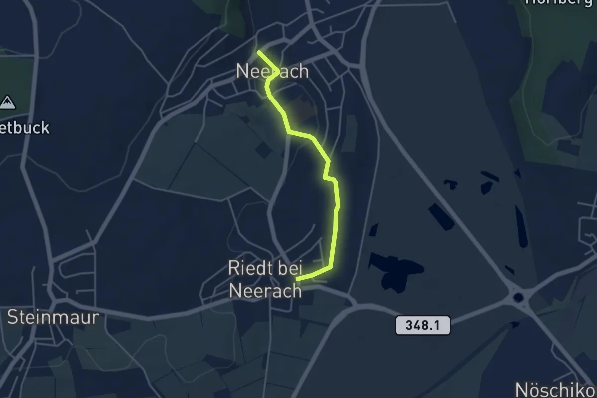
Easy · Trail
Riedt – Neerach
3.3 km · ↑ 35 m · 52 min · 12 km away
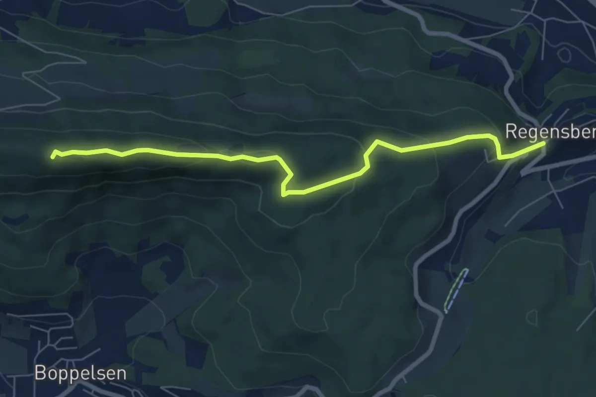
Medium · Summit
Längern Hochwacht – Regensberg
6.4 km · ↑ 290 m · 2 h 8 min · 12 km away
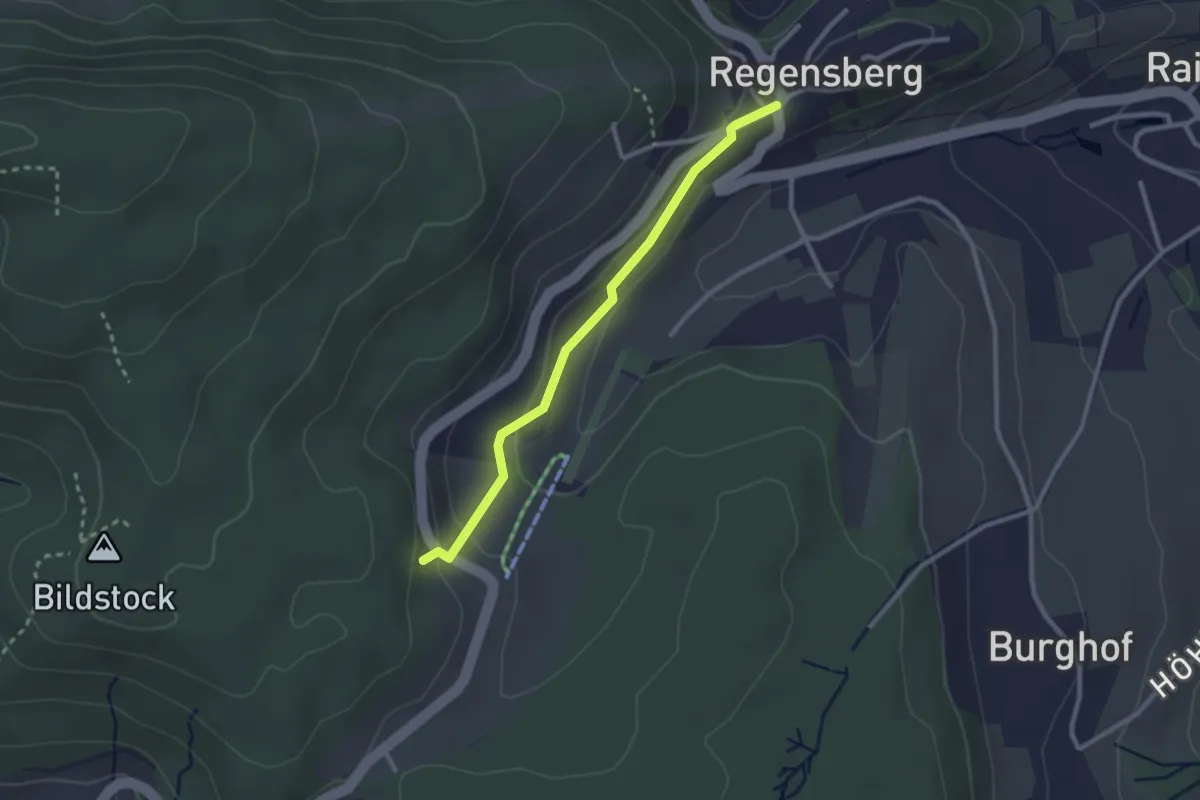
Easy · Trail
Regensberg – Linden
2.4 km · ↑ 110 m · 49 min · 12 km away
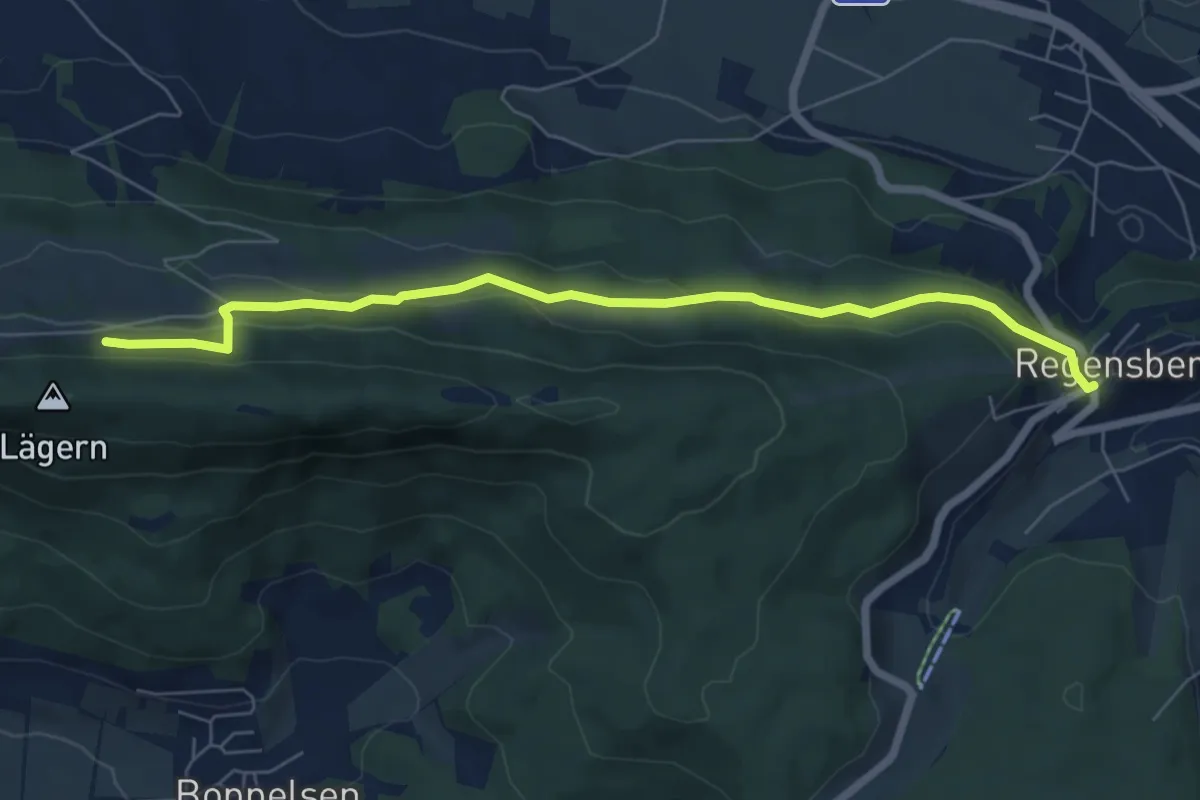
Easy · Trail
Regensberg – Lägernweid
6.7 km · ↑ 259 m · 2 h 9 min · 12 km away
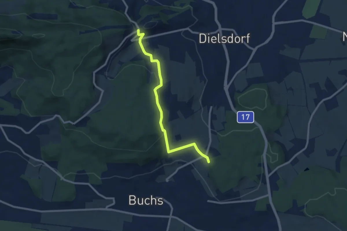
Easy · Trail
Hand – Regensberg
6.2 km · ↑ 199 m · 1 h 54 min · 12 km away
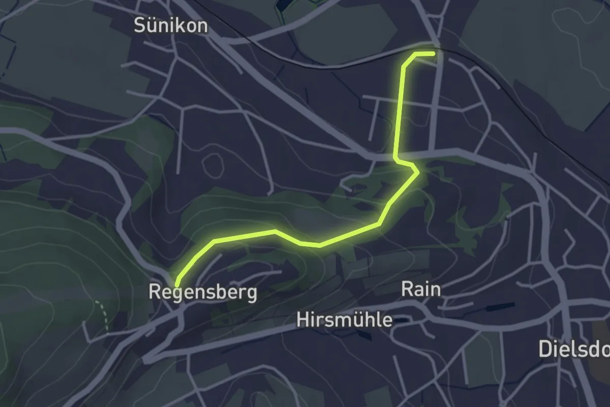
Easy · Trail
Steinmaur Bahnhof - Regensberg Bus
3.0 km · ↑ 164 m · 1 h 4 min · 12 km away
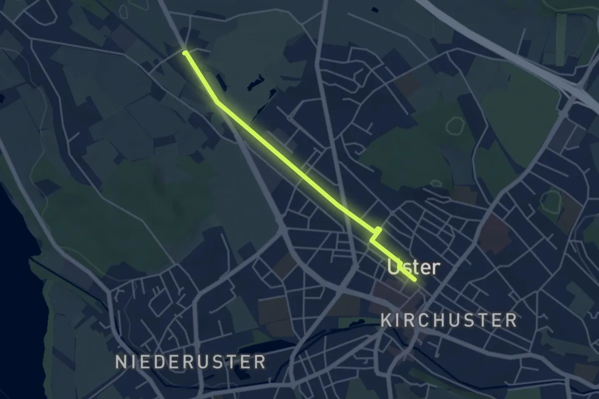
Easy · Trail
Werrikon - Uster
4.0 km · ↑ 8 m · 57 min · 12 km away
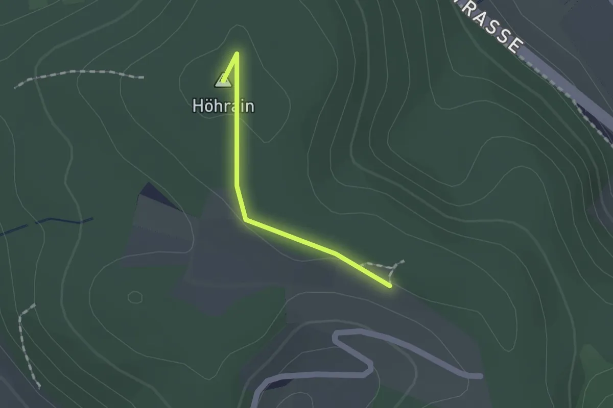
Easy · Summit
Petersboden – Wagenbrechi
1.1 km · ↑ 15 m · 17 min · 12 km away
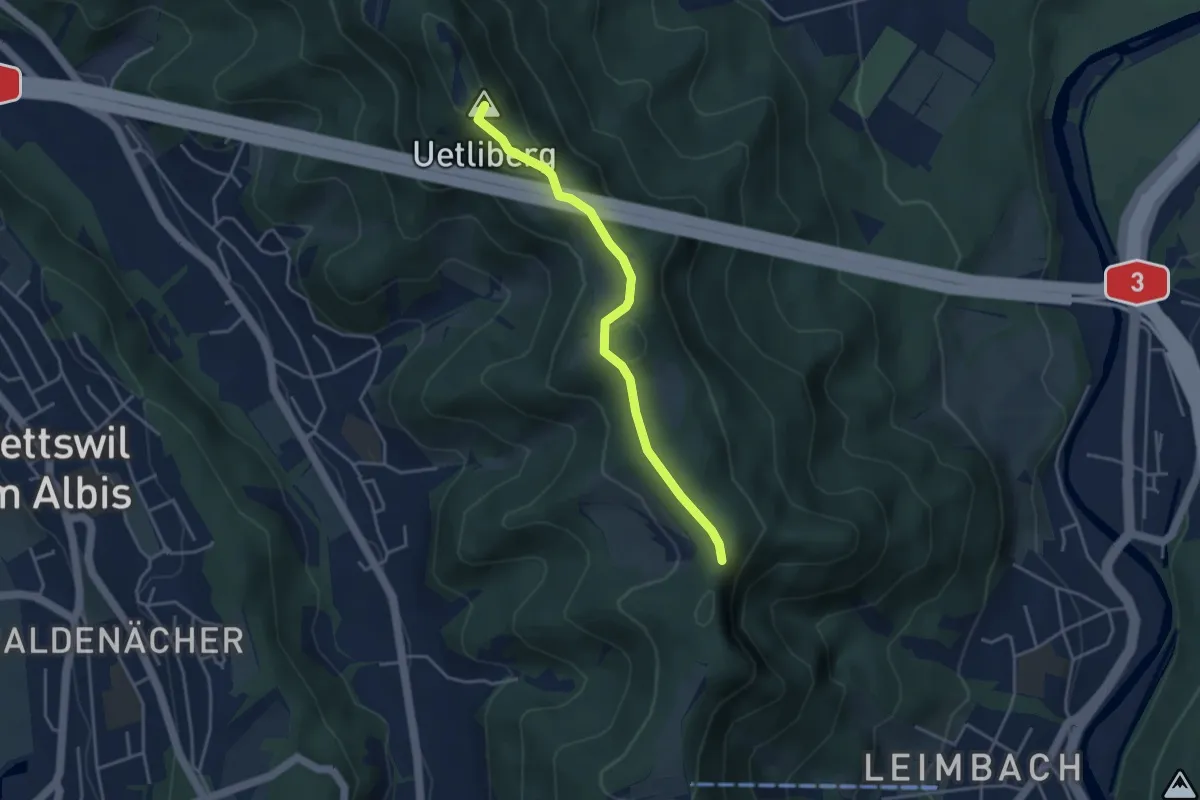
Easy · Summit
Uetliberg – Folenweid
3.7 km · ↑ 140 m · 1 h 10 min · 12 km away
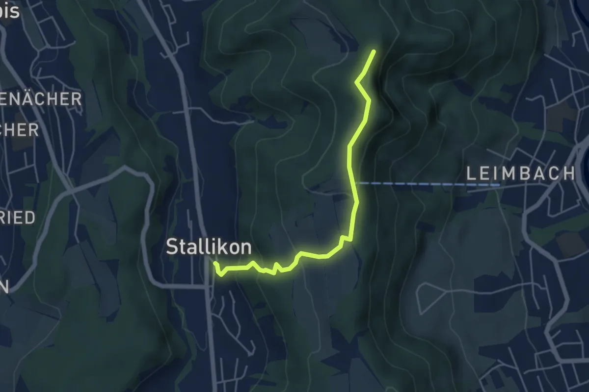
Easy · Trail
Stallikon – Folenweid
4.1 km · ↑ 249 m · 1 h 31 min · 12 km away
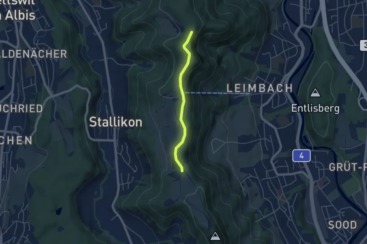
Easy · Trail
Folenweid – Baldern
3.6 km · ↑ 100 m · 1 h 4 min · 12 km away
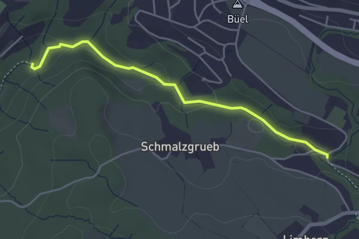
Easy · Trail
Johannisburg – Tobelmüli
3.7 km · ↑ 87 m · 1 h 4 min · 12 km away
Easy · Trail
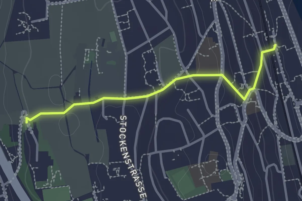
Kilchberg (Bahnhof) – Kilchberg Spital
2.5 km · ↑ 86 m · 46 min · 12 km away
Easy · Trail
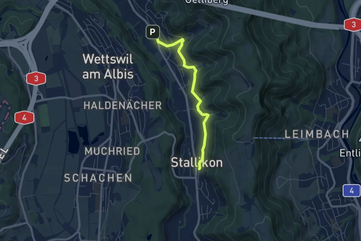
Stallikon – Sellenbüren
5.5 km · ↑ 167 m · 1 h 40 min · 12 km away
Easy · Summit
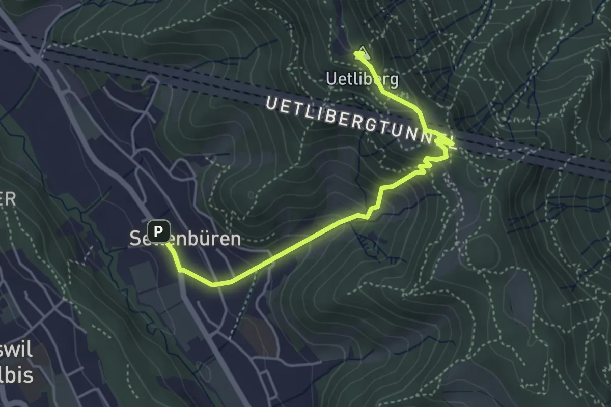
Sellenbüren – Uetliberg Uto Kulm
4.2 km · ↑ 317 m · 1 h 41 min · 12 km away