Trails near Opfikon
588 hikes starting within 15 km, nearest first.
Nearest first, page 9 of 13
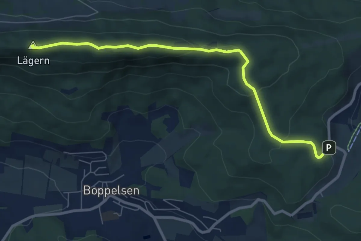
Medium · Summit
Planetenweg Lägern
6.5 km · ↑ 243 m · 2 h 3 min · 12 km away
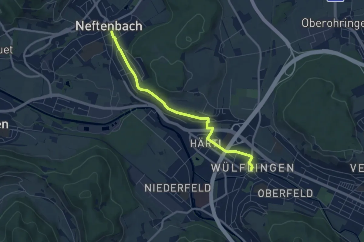
Easy · Trail
Winterthur Wülflingen – Neftenbach
6.5 km · ↑ 105 m · 1 h 45 min · 12 km away
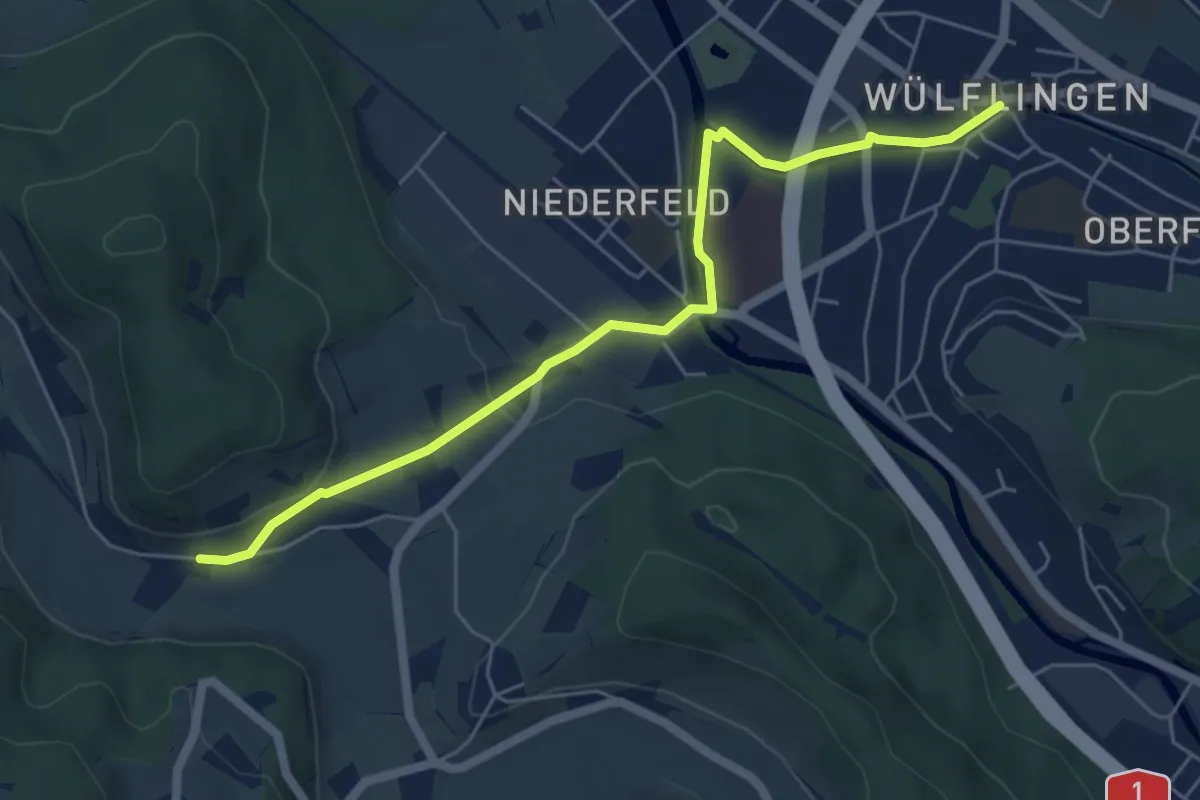
Easy · Trail
Winterthur Wülflingen – Weiertal
5.8 km · ↑ 104 m · 1 h 35 min · 12 km away
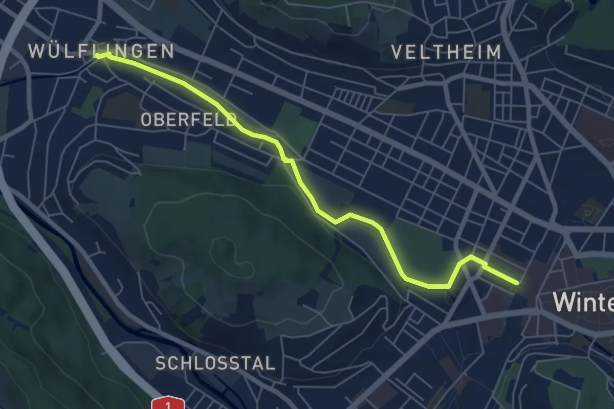
Easy · Trail
Winterthur – Winterthur Wülflingen
5.7 km · ↑ 103 m · 1 h 34 min · 12 km away
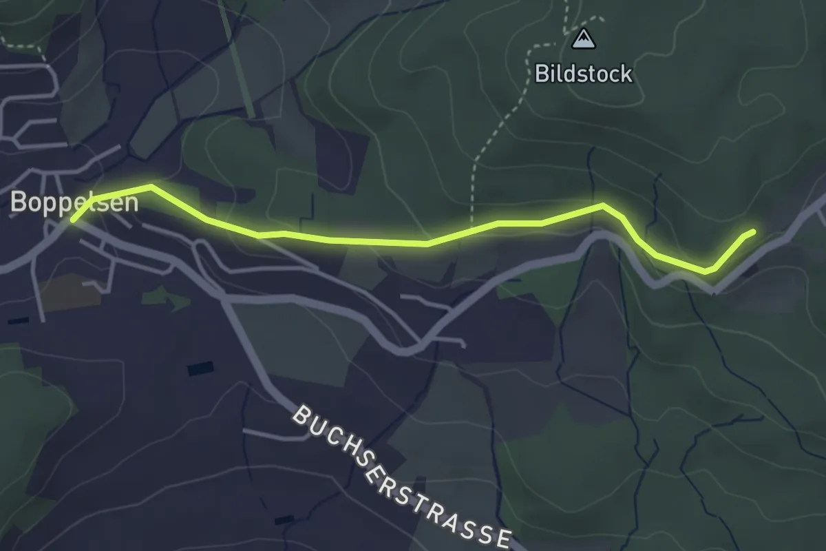
Easy · Trail
Mötschen – Boppelsen
3.5 km · ↑ 137 m · 1 h 8 min · 12 km away
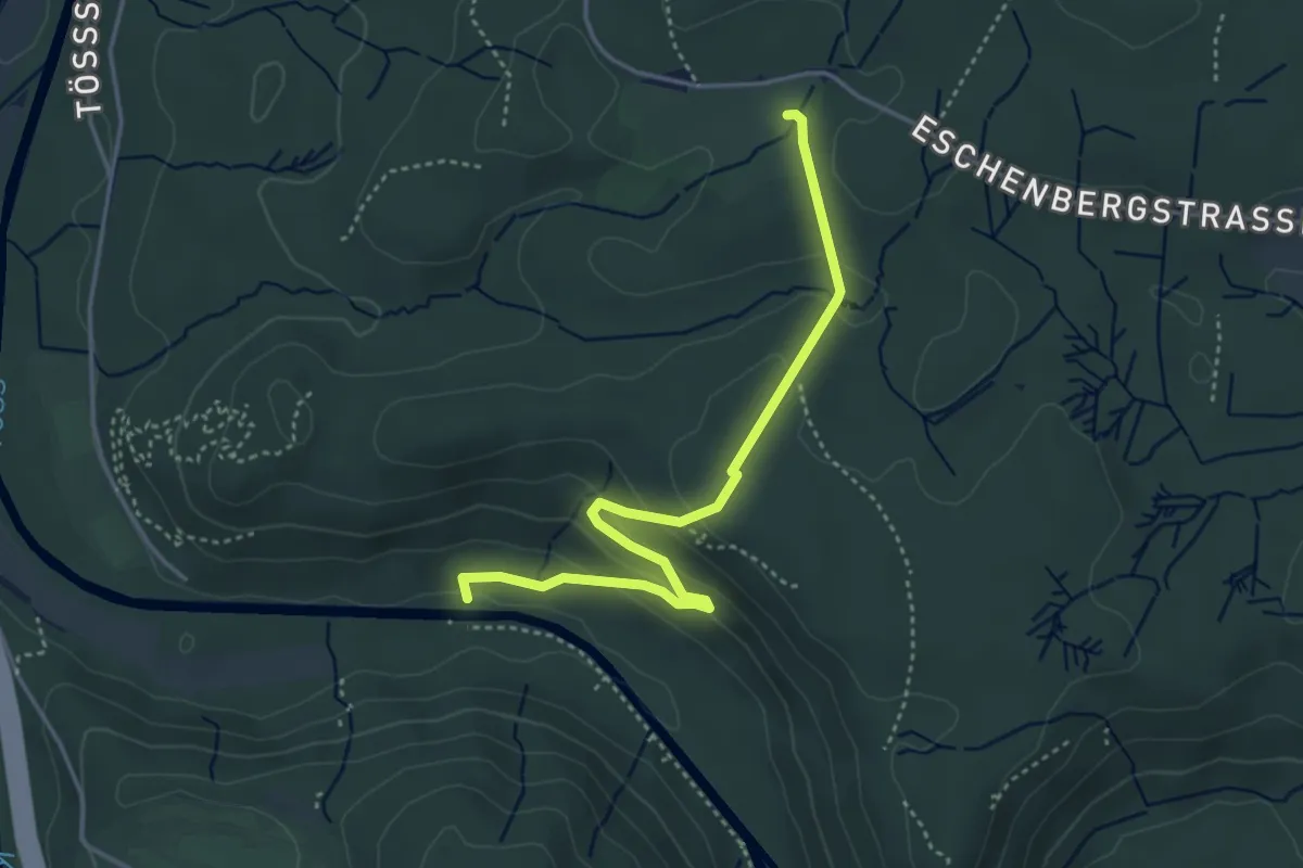
Easy · Trail
Wildpark Bruderhaus – Brunibrugg
4.0 km · ↑ 163 m · 1 h 19 min · 12 km away
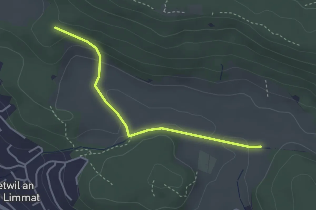
Easy · Trail
Rotris – Harwätti
2.9 km · ↑ 82 m · 52 min · 12 km away
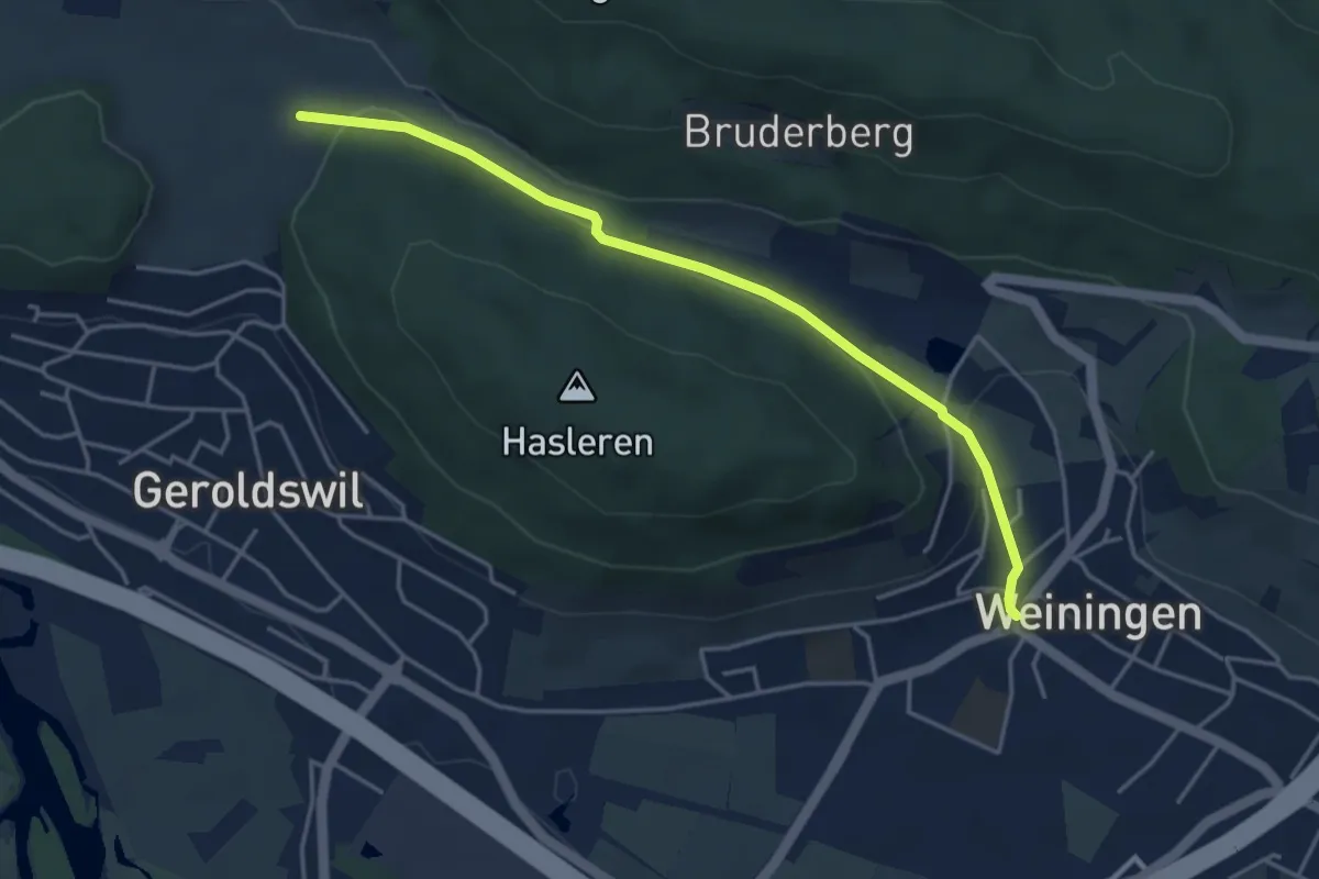
Easy · Trail
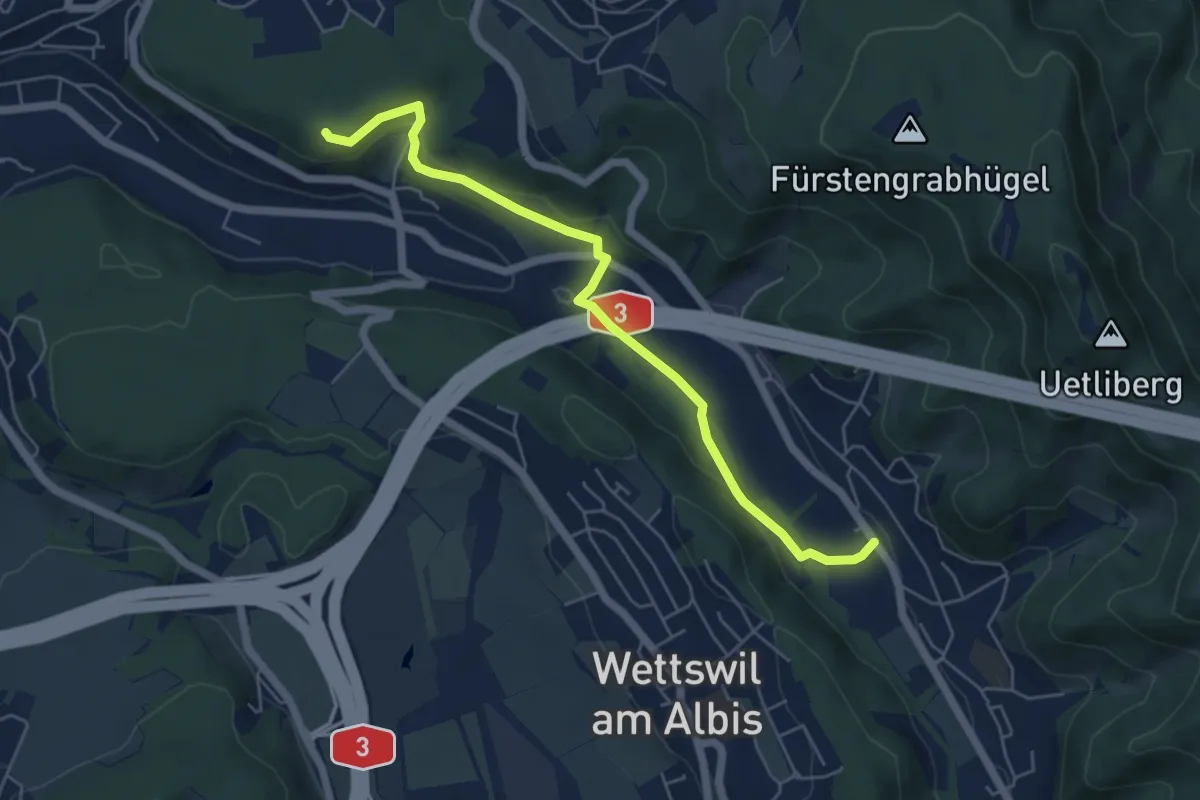
Weiningen – Harwätti
4.3 km · ↑ 121 m · 1 h 16 min · 12 km away
Easy · Trail
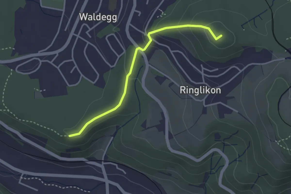
Sellenbüren – Maas
5.6 km · ↑ 165 m · 1 h 41 min · 12 km away
Easy · Summit
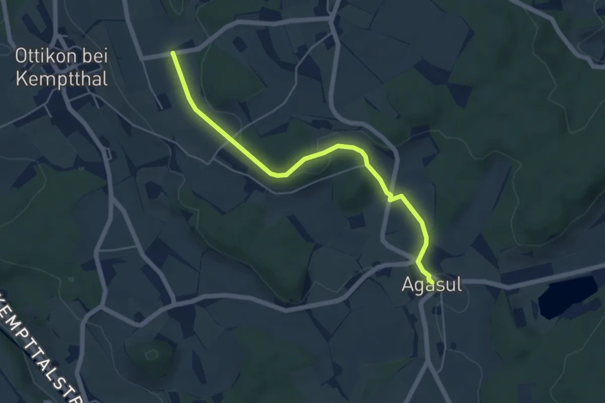
Maas – Ringlikon (Station)
2.9 km · ↑ 126 m · 58 min · 12 km away
Easy · Trail
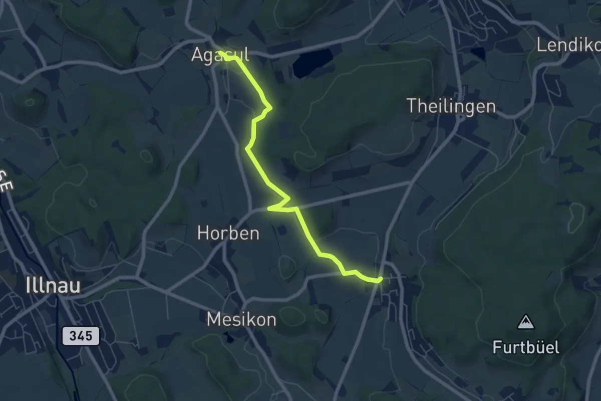
Agasul – Erli
4.6 km · ↑ 79 m · 1 h 16 min · 12 km away
Easy · Trail
Rumlikon – Agasul
5.8 km · ↑ 120 m · 1 h 38 min · 12 km away
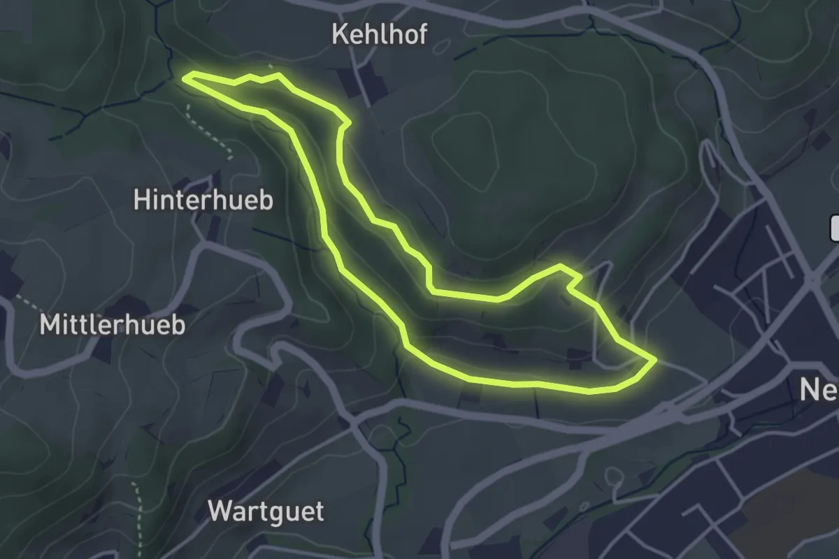
Easy · Trail
Naturerlebnispfad
3.5 km · ↑ 115 m · 1 h 8 min · 12 km away
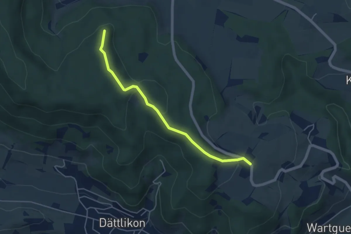
Easy · Trail
Herenbänkli Irchelturm – Oberhueb
3.9 km · ↑ 130 m · 1 h 12 min · 12 km away
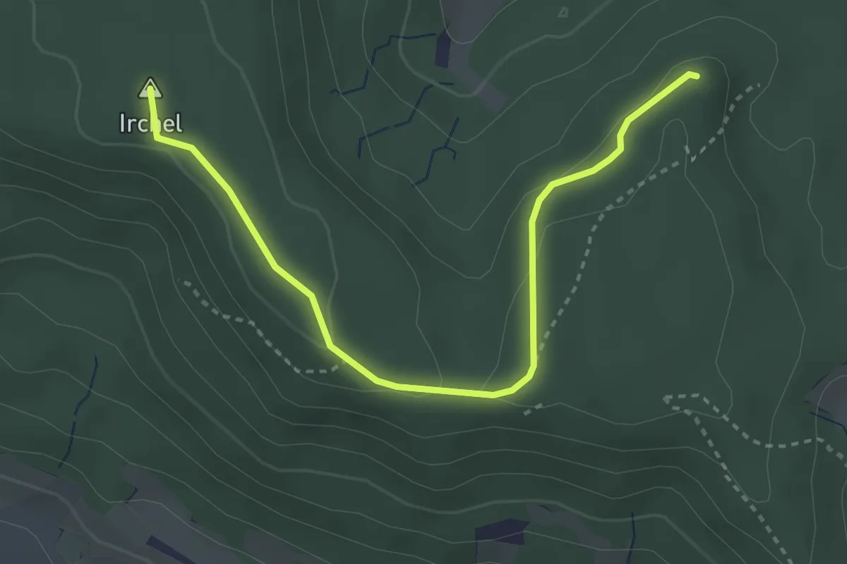
Easy · Summit
Heerenbänkli Irchelturm – Forenirchel
3.5 km · ↑ 86 m · 1 h 1 min · 12 km away
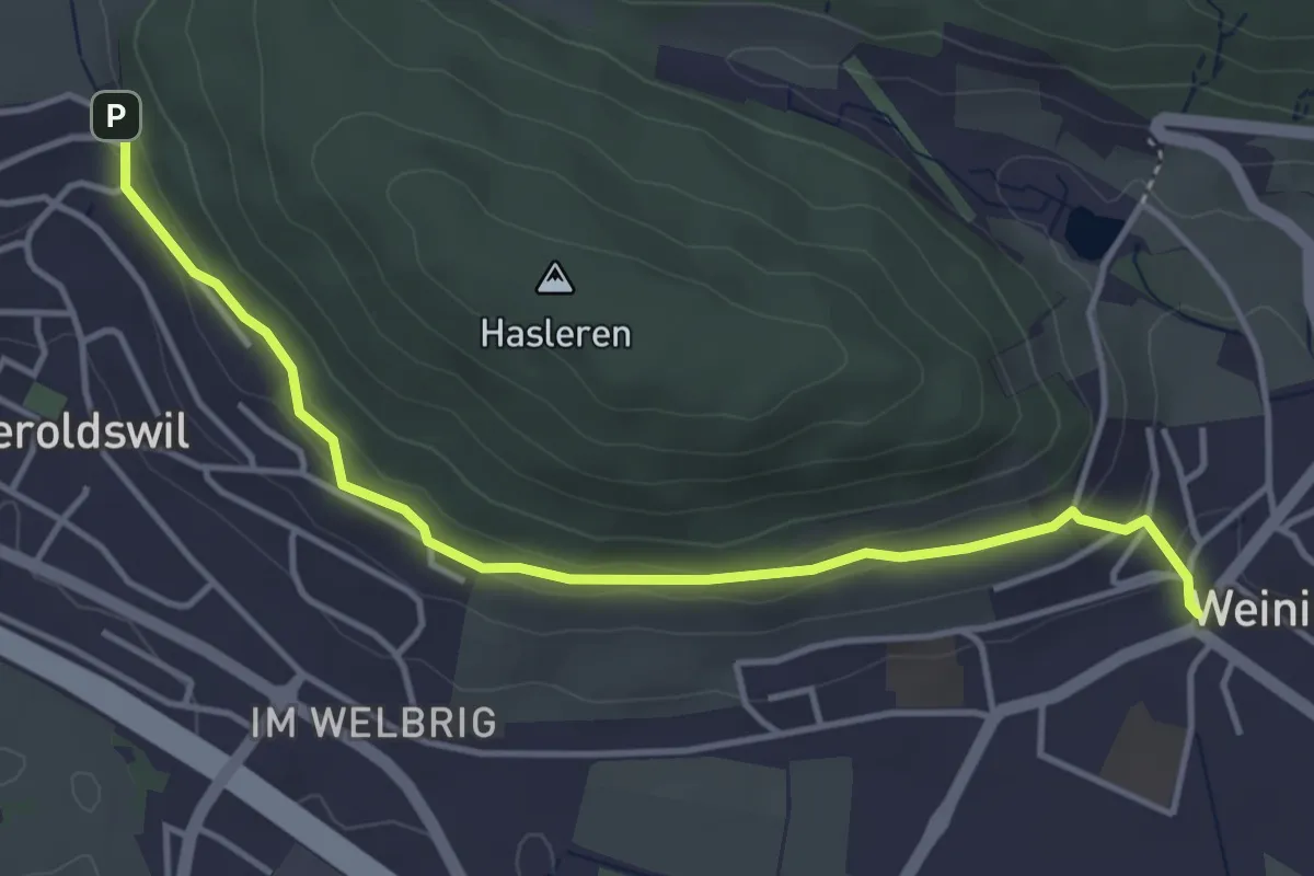
Easy · Trail
Bühl – Weiningen
4.3 km · ↑ 132 m · 1 h 18 min · 12 km away
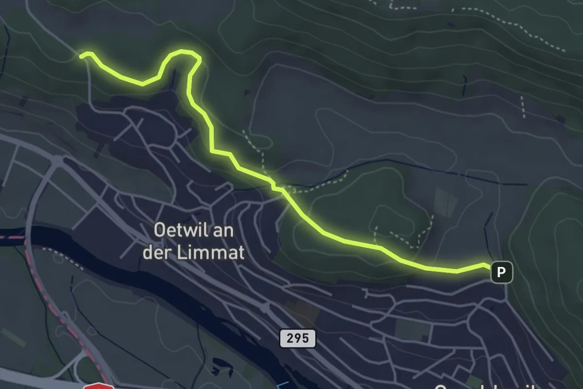
Easy · Trail
Bickrüti - Bühl
4.6 km · ↑ 168 m · 1 h 27 min · 12 km away
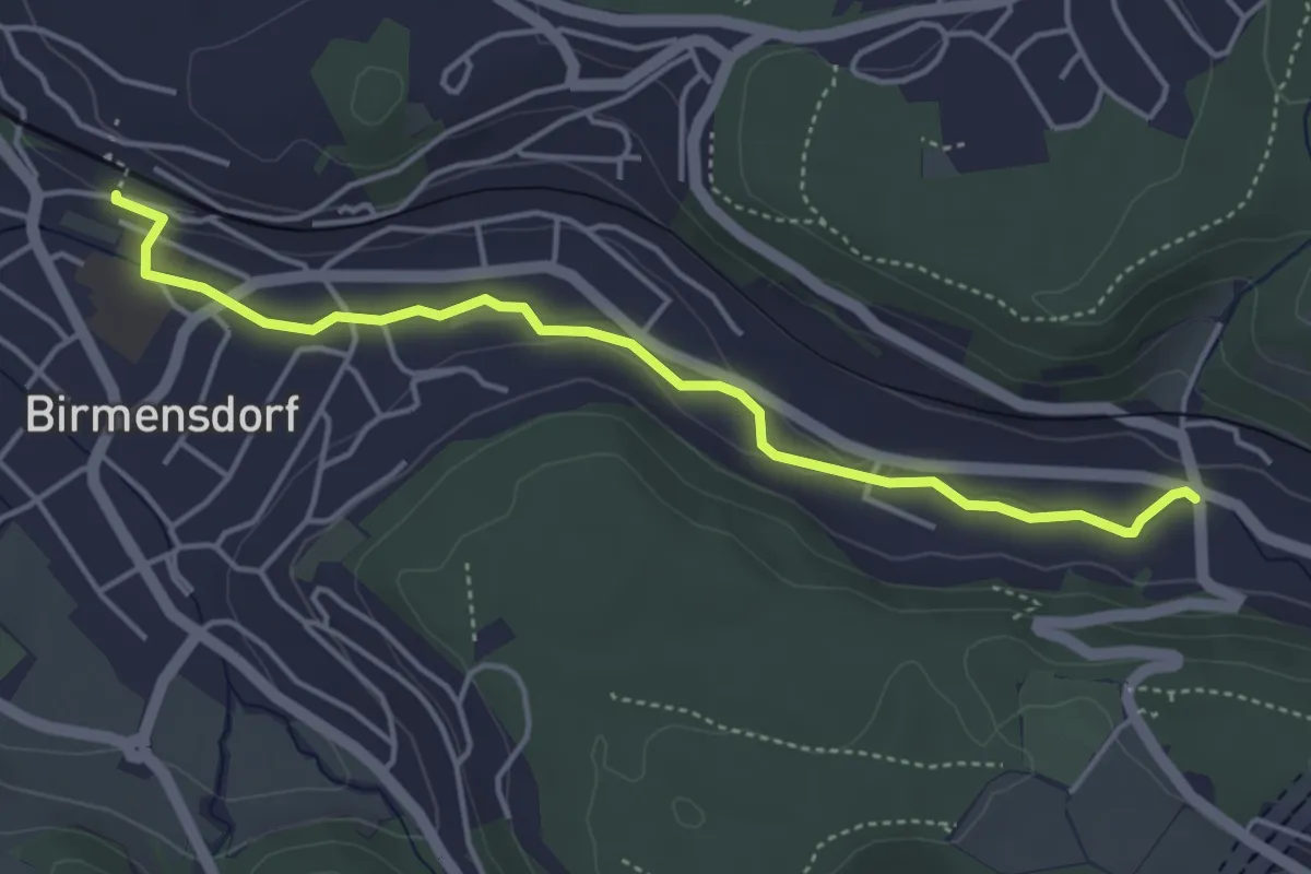
Easy · Trail
Birmensdorf – Landikon
4.4 km · ↑ 50 m · 1 h 9 min · 12 km away
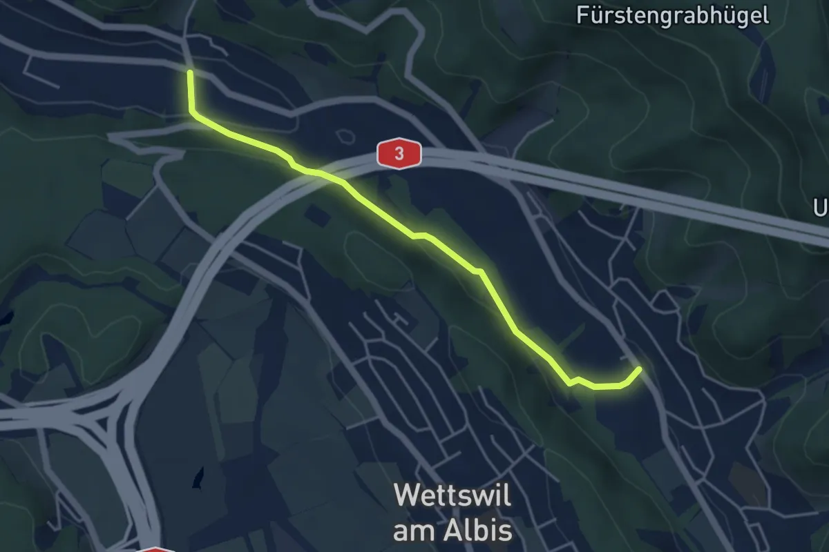
Easy · Trail
Landikon – Sellenbüren
4.1 km · ↑ 138 m · 1 h 16 min · 12 km away
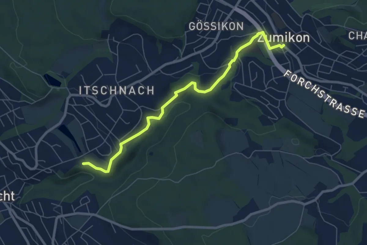
Easy · Trail
Schübelweiher - Zumikon
6.3 km · ↑ 177 m · 1 h 53 min · 12 km away
Demanding · Trail
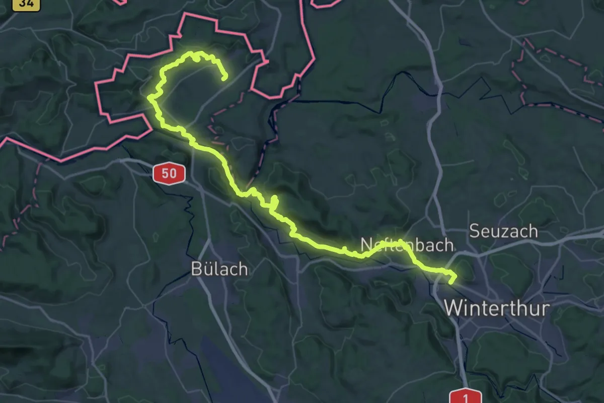
Lebendiger Weinweg
32.9 km · ↑ 837 m · 10 h 3 min · 13 km away
Medium · Trail
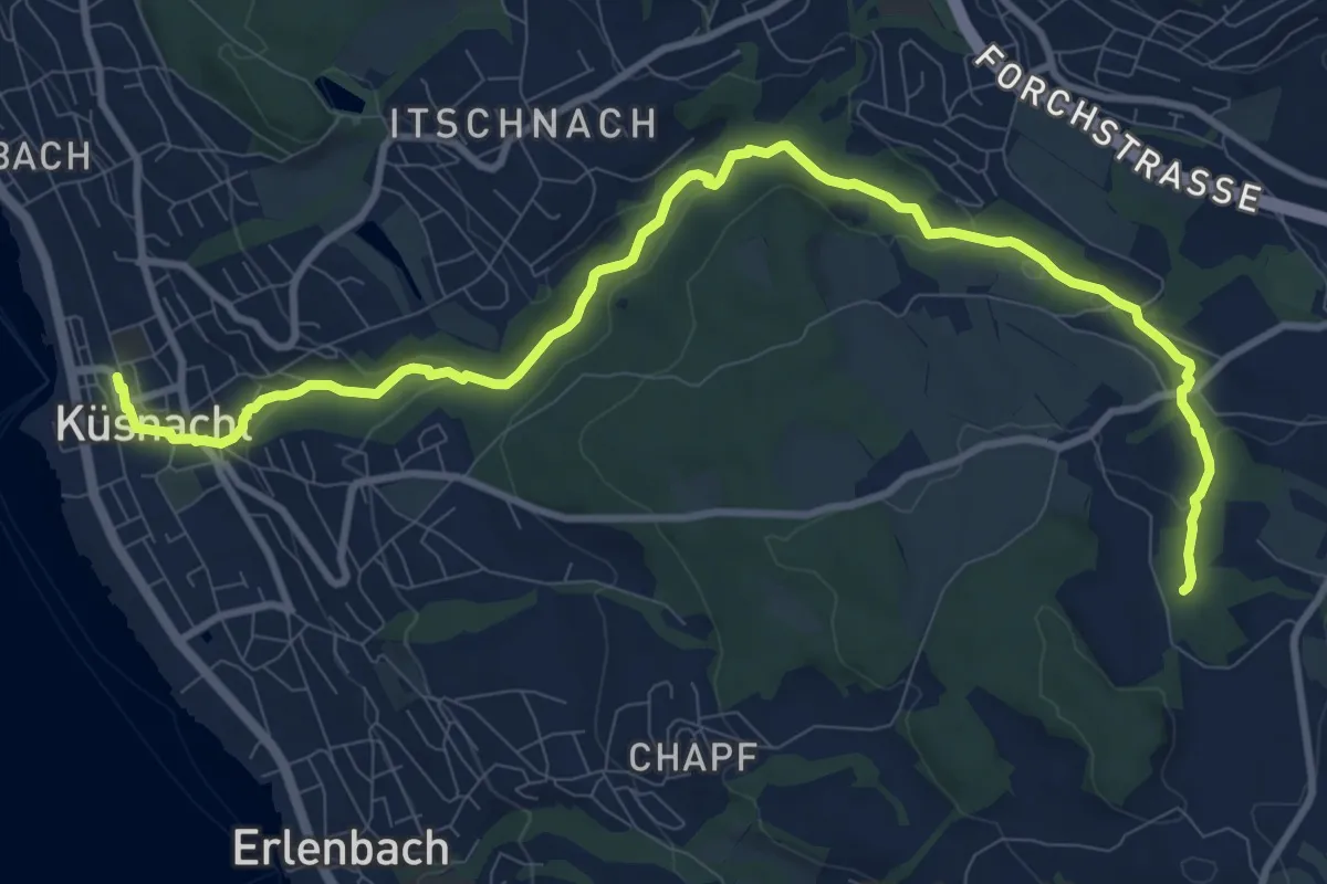
Erlenbach Küsnacht Tobelweg
11.9 km · ↑ 300 m · 3 h 27 min · 13 km away
Easy · Trail
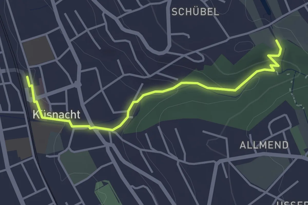
Küsnacht – Schübelweiher
3.3 km · ↑ 95 m · 1 h · 13 km away
Easy · Trail
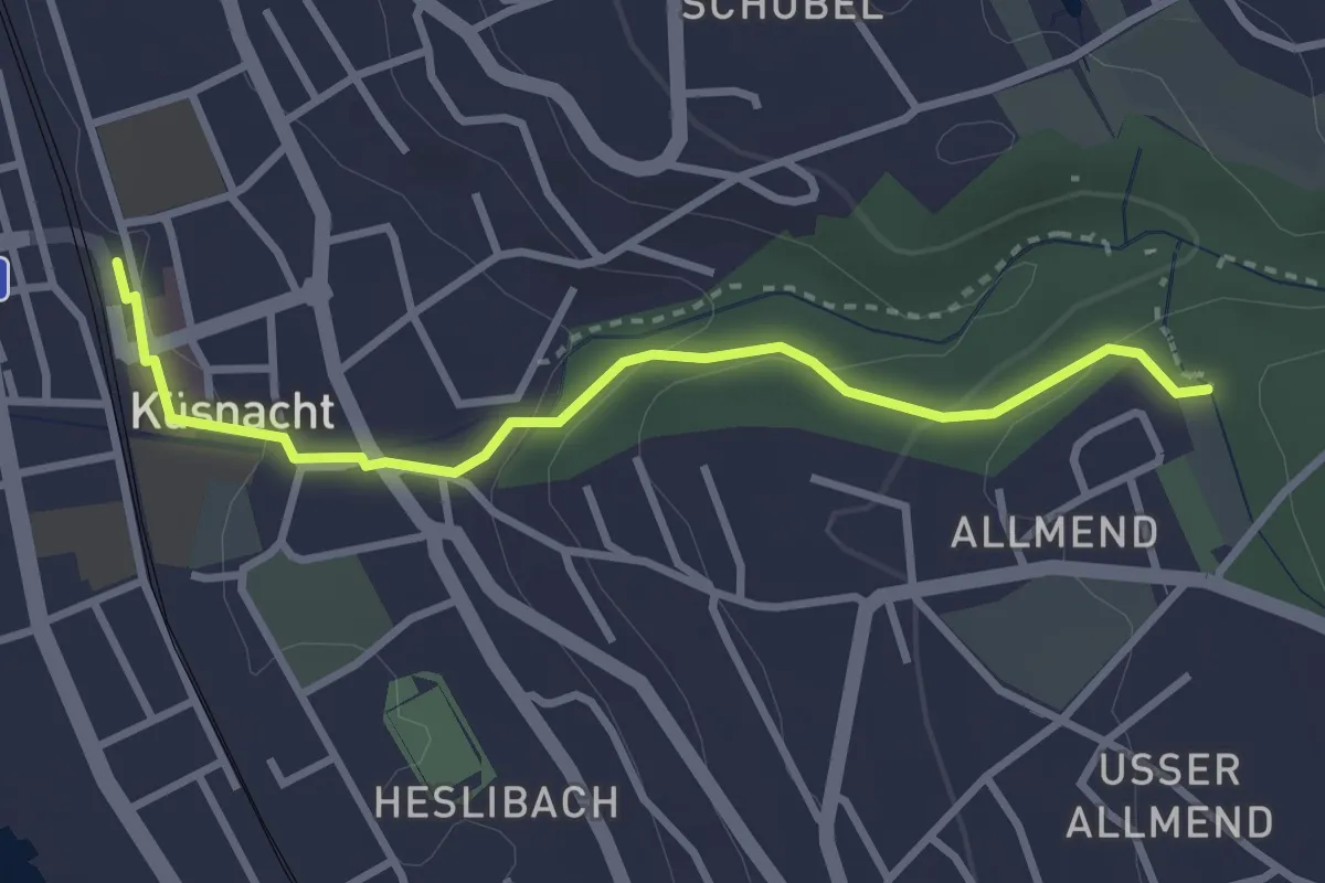
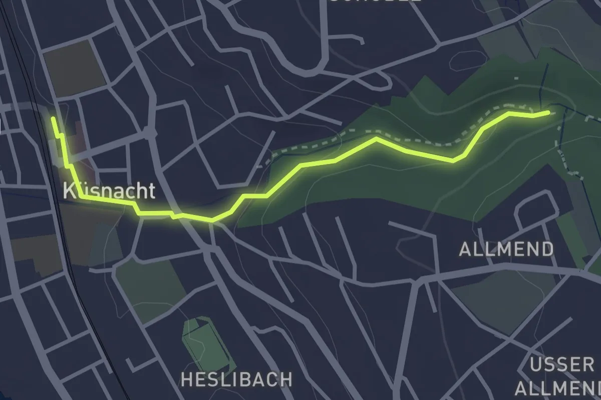
Küsnacht – Küsnachter Tobel
3.1 km · ↑ 106 m · 57 min · 13 km away
Easy · Trail
Küsnacht – Küsnacht Dorfbach
2.9 km · ↑ 92 m · 53 min · 13 km away
Medium · Trail
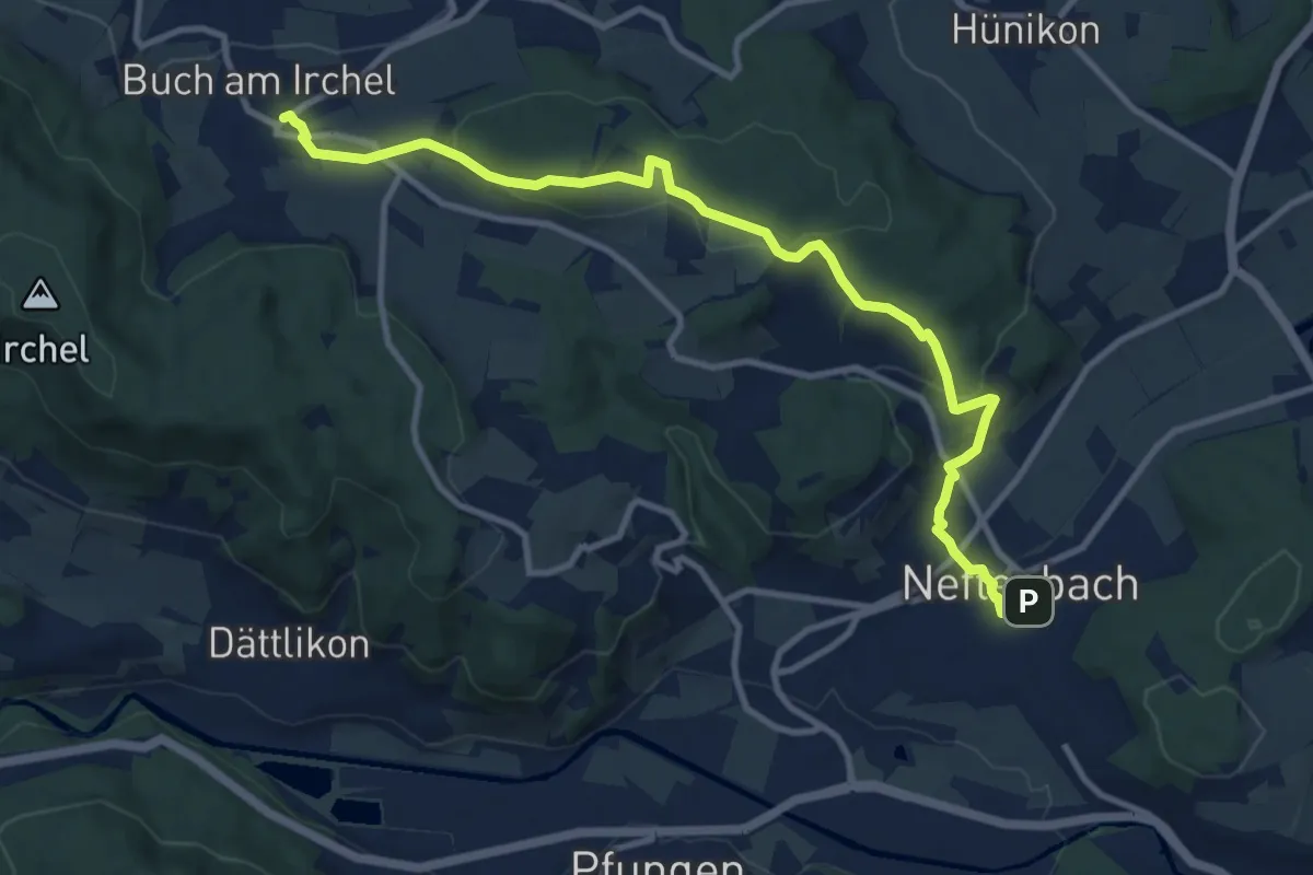
Neftenbach – Ober Buch am Irchel
11.5 km · ↑ 341 m · 3 h 28 min · 13 km away
Easy · Trail
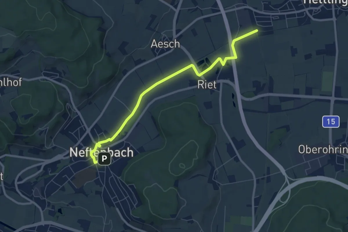
Neftenbach – Bahnhof Hettlingen
7.3 km · ↑ 22 m · 1 h 47 min · 13 km away
Medium · Trail
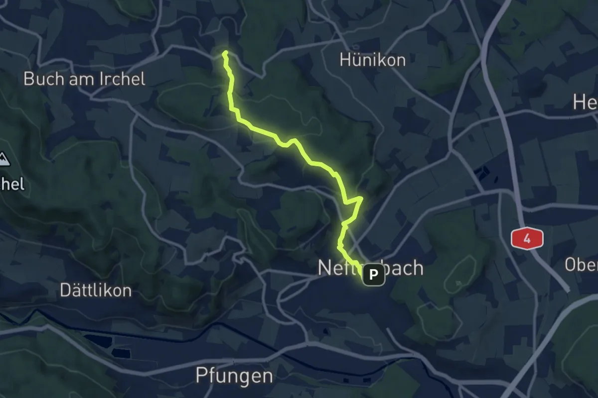
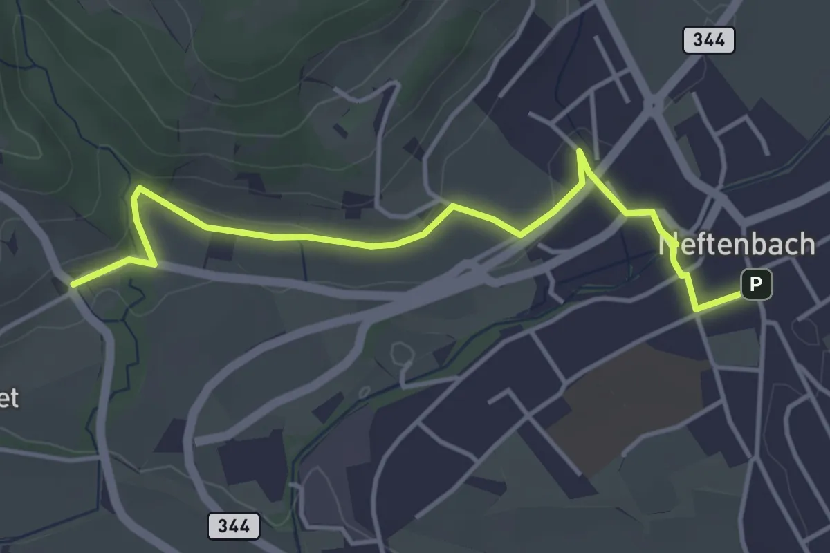
Neftenbach - Desibach
9.0 km · ↑ 299 m · 2 h 46 min · 13 km away
Easy · Trail
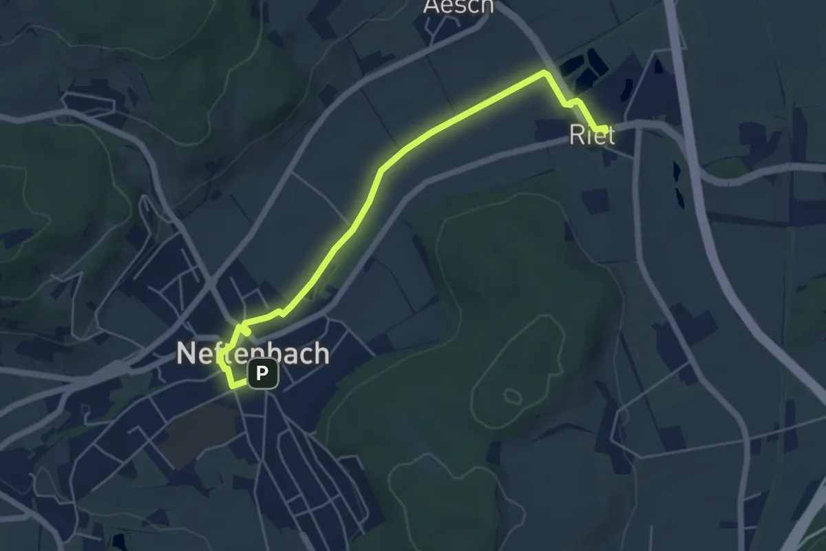
Museum – Neftenbach
4.1 km · ↑ 94 m · 1 h 11 min · 13 km away
Easy · Trail
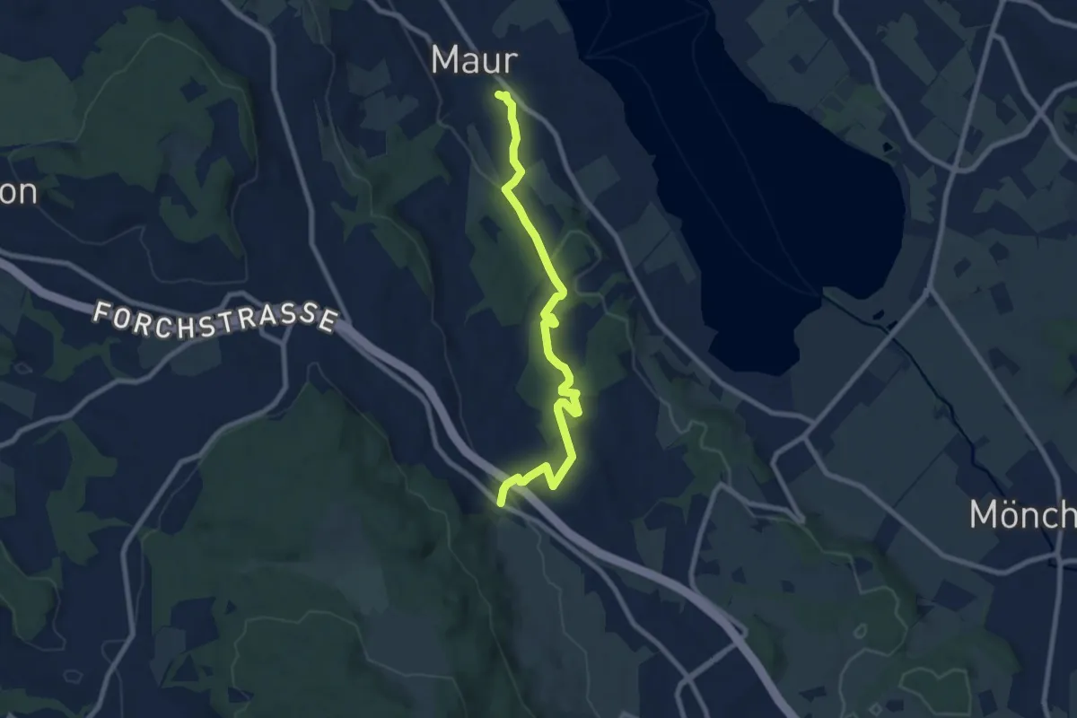
Riet – Neftenbach
5.3 km · ↑ 9 m · 1 h 16 min · 13 km away
Medium · Trail
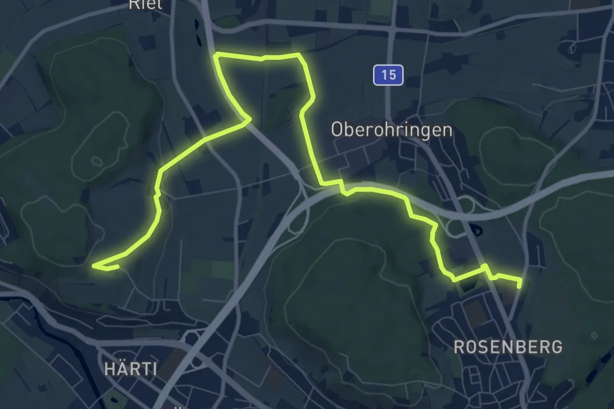
Maur – Neuhaus
8.2 km · ↑ 199 m · 2 h 22 min · 13 km away
Medium · Trail
Bushaltestelle Rosenberg – Taggenberg
11.7 km · ↑ 126 m · 3 h 2 min · 13 km away
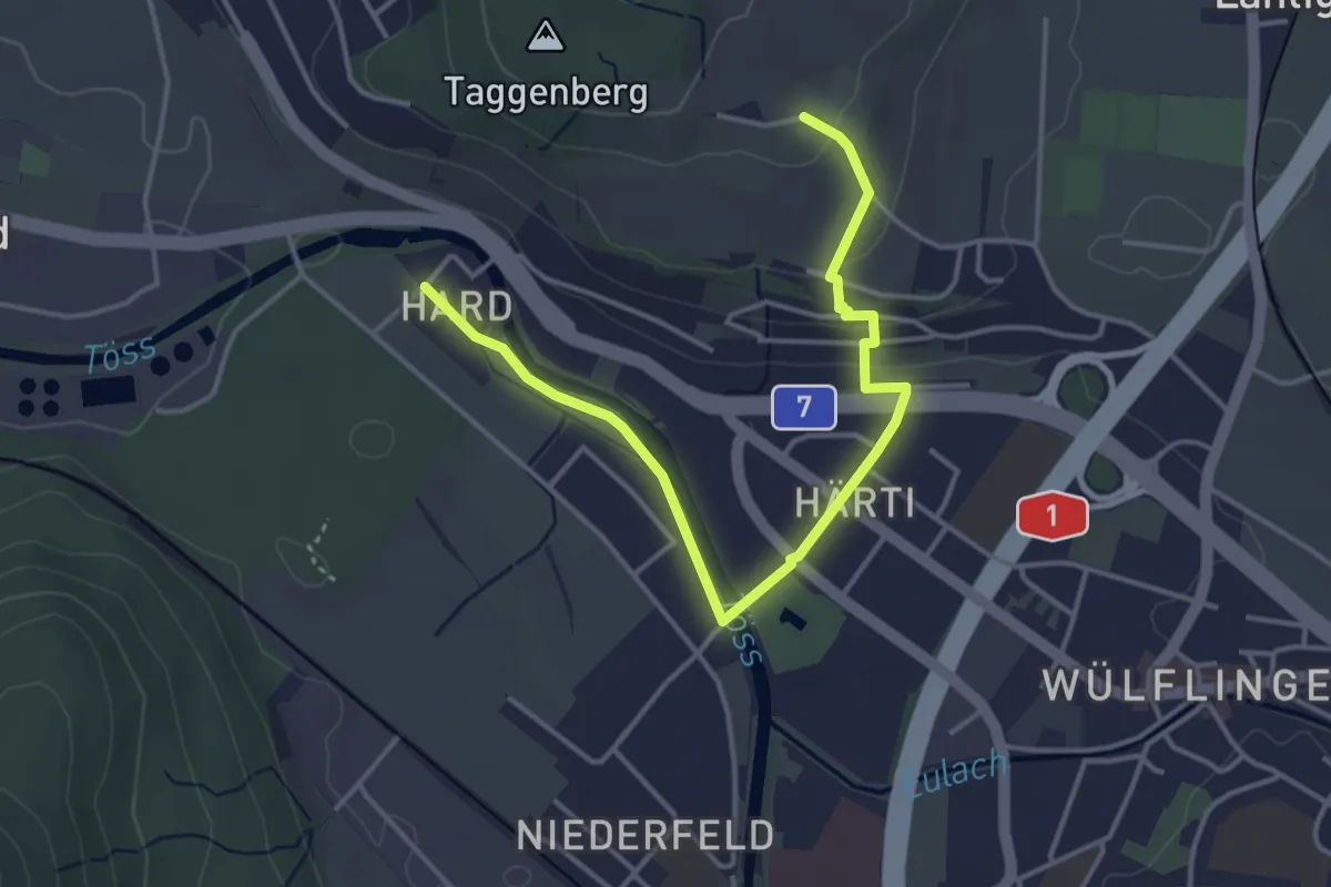
Easy · Trail
Taggenberg – Hardau
4.3 km · ↑ 80 m · 1 h 11 min · 13 km away
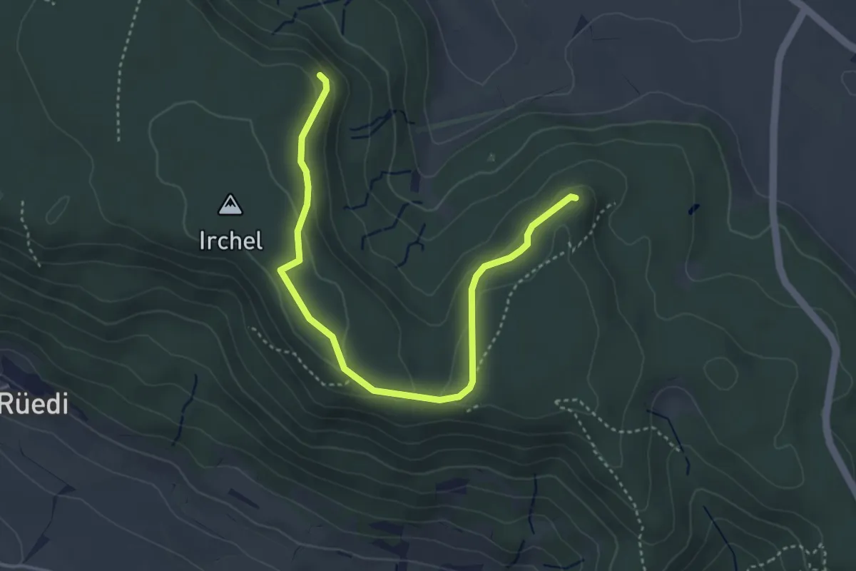
Easy · Trail
Schaffhuser – Heerenbänkli Irchelturm
4.2 km · ↑ 110 m · 1 h 14 min · 13 km away
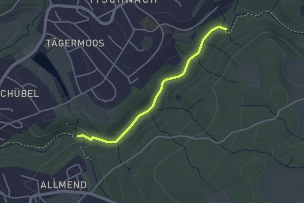
Easy · Trail
Küsnacht Dorfbach – Johannisburg
2.8 km · ↑ 68 m · 48 min · 13 km away
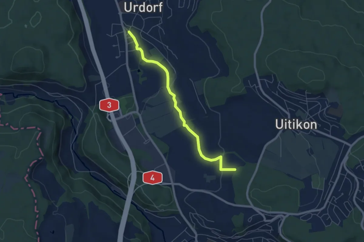
Easy · Trail
Oberurdorf - Leerbreiti
5.5 km · ↑ 97 m · 1 h 31 min · 13 km away
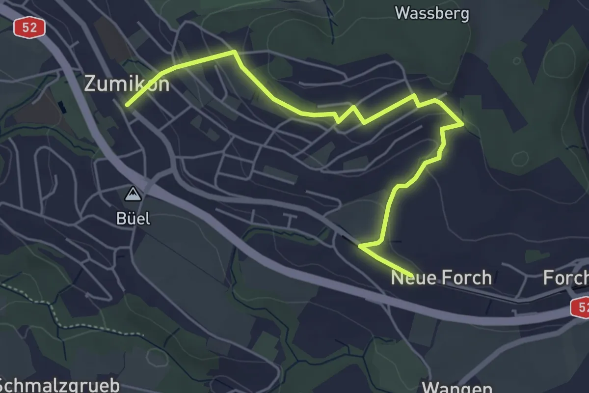
Easy · Trail
Zumikon - Neue Forch
5.2 km · ↑ 140 m · 1 h 32 min · 13 km away
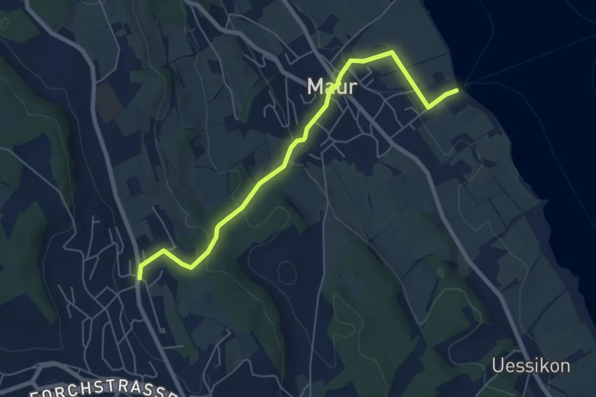
Easy · Trail
Maur Schifflände – Aesch
5.5 km · ↑ 191 m · 1 h 43 min · 13 km away
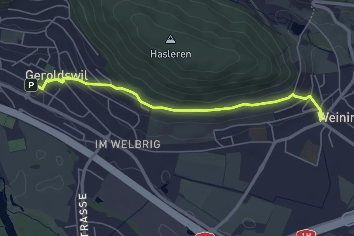
Easy · Trail
Weiningen – Geroldswil
4.3 km · ↑ 149 m · 1 h 20 min · 13 km away
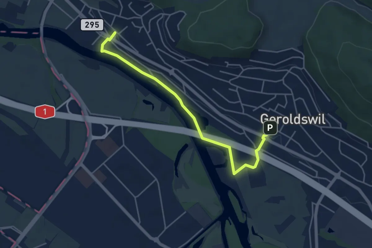
Easy · Trail
Geroldswil – Oetwil a. d. L.
4.2 km · ↑ 47 m · 1 h 5 min · 13 km away
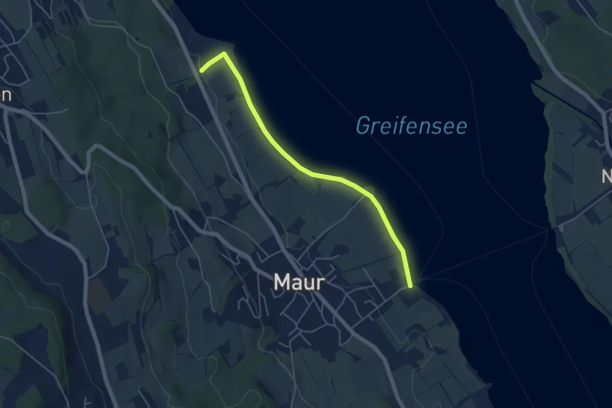
Easy · Trail
Aschbach - Maur Schifflände
4.3 km · ↑ 14 m · 1 h 3 min · 13 km away
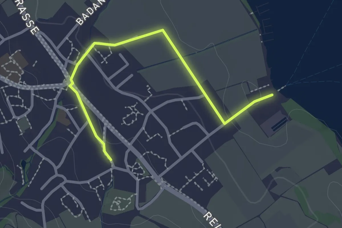
Easy · Trail
Maur – Maur Schifflände
2.5 km · ↑ 23 m · 39 min · 13 km away
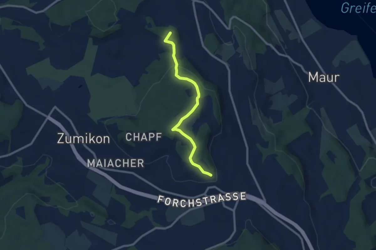
Easy · Summit
Süessblätz – Wehrmännerdenkmal
5.7 km · ↑ 186 m · 1 h 45 min · 13 km away
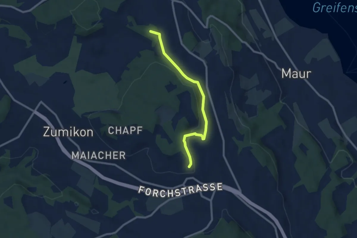
Easy · Summit
Ebmatingen – Wehrmännerdenkmal
5.6 km · ↑ 163 m · 1 h 41 min · 13 km away
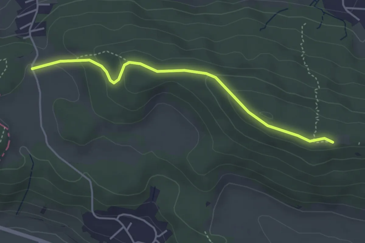
Easy · Trail
Altberg – Vorderhüttikerberg
3.8 km · ↑ 151 m · 1 h 13 min · 13 km away
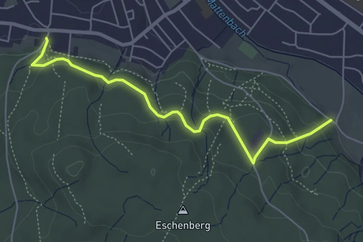
Easy · Trail
Breiti – Waldegg
4.7 km · ↑ 192 m · 1 h 31 min · 13 km away
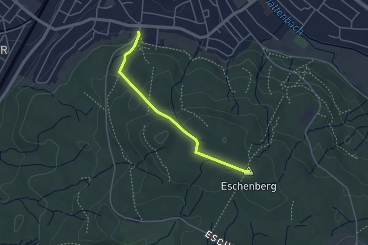
Easy · Summit
Eschenberg Aussichtsturm – Breiti
3.0 km · ↑ 105 m · 56 min · 13 km away
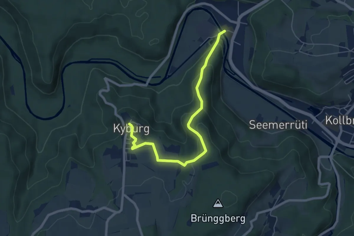
Easy · Trail
Sennhof – Kyburg
5.7 km · ↑ 220 m · 1 h 50 min · 13 km away