Trails near Ostermundigen
488 hikes starting within 15 km, nearest first.
Nearest first, page 1 of 11
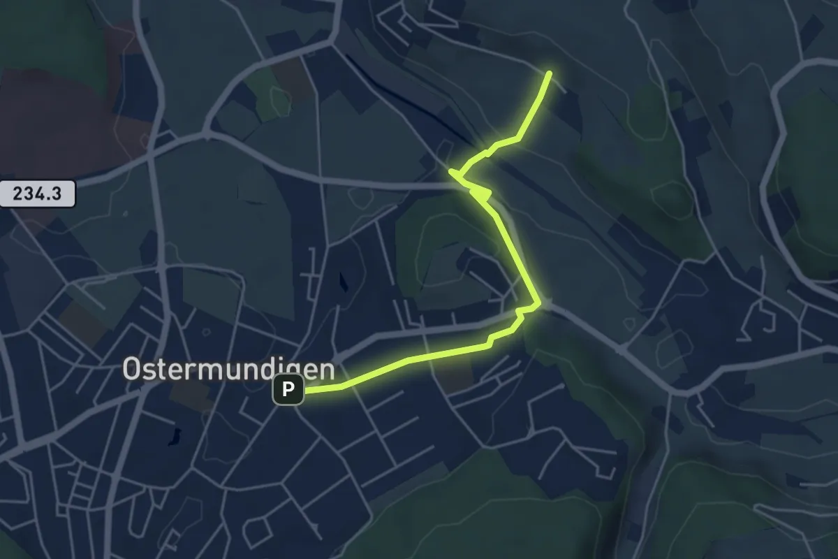
Easy · Trail
Hüenerbüel – Ostermundigen
4.6 km · ↑ 91 m · 1 h 17 min · under 1 km away
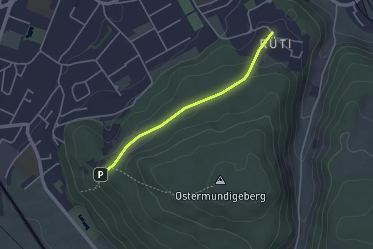
Easy · Trail
Rüti – Steinbrüche
2.7 km · ↑ 63 m · 46 min · 1 km away
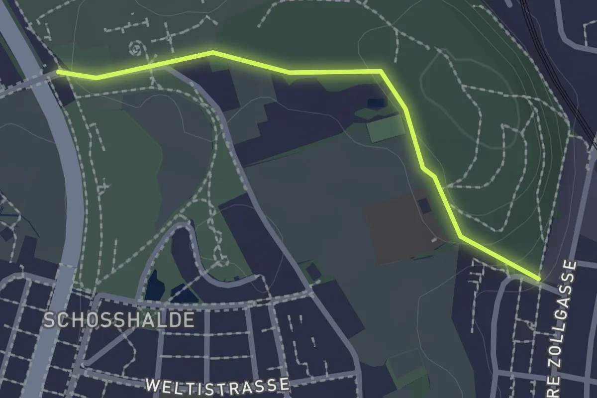
Easy · Trail
Tiefenmösli – Zentrum Paul Klee
2.0 km · ↑ 38 m · 33 min · 2 km away
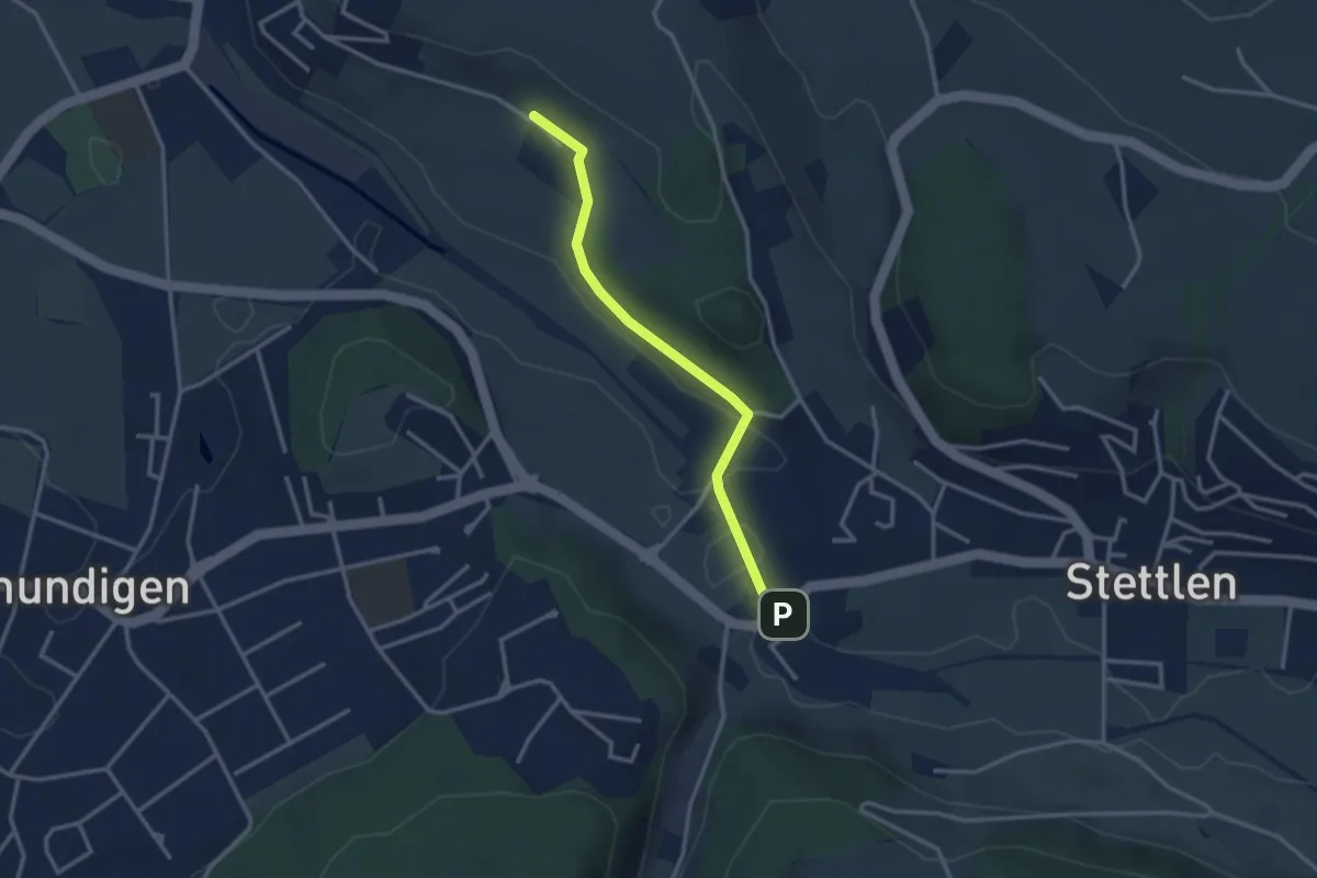
Easy · Trail
Hüenerbüel – Deisswil
2.9 km · ↑ 33 m · 45 min · 2 km away
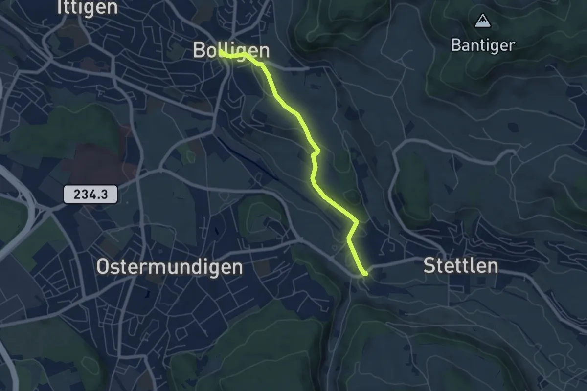
Easy · Trail
Bolligen / Sternen – Deisswil
5.4 km · ↑ 90 m · 1 h 29 min · 2 km away
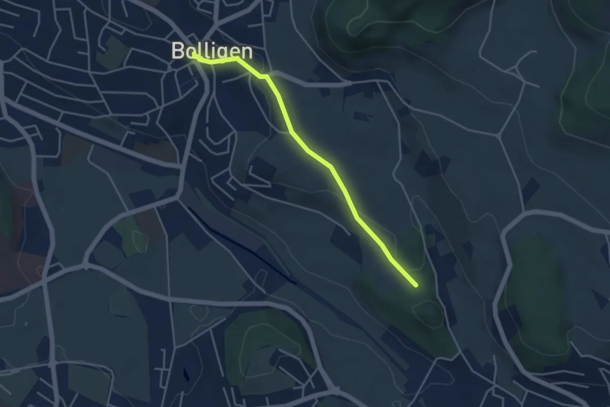
Easy · Trail
Bolligen / Sternen – Schwandiholz
3.4 km · ↑ 53 m · 55 min · 2 km away
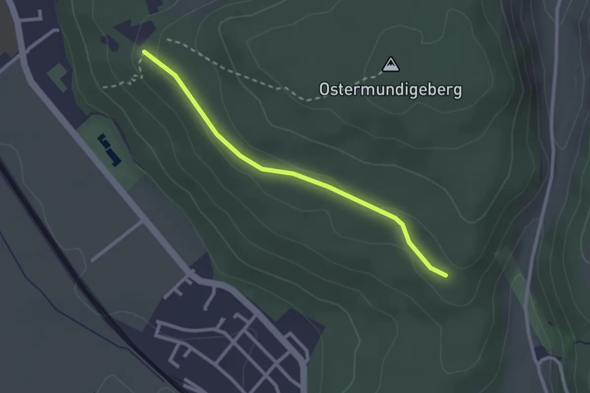
Easy · Trail
Harnischberg – Steinbrüche
2.2 km · ↑ 46 m · 38 min · 2 km away
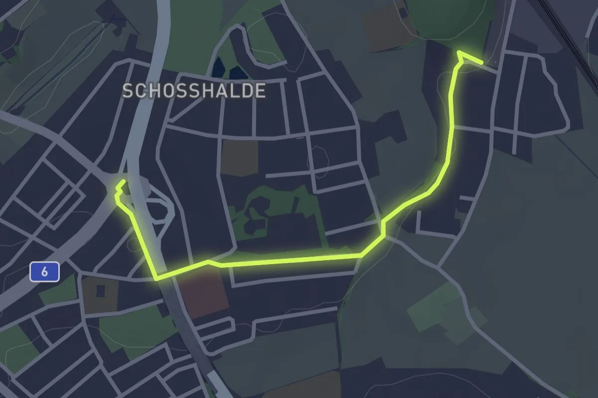
Easy · Trail
Tiefenmösli – Freudenbergerplatz
2.9 km · ↑ 44 m · 46 min · 2 km away
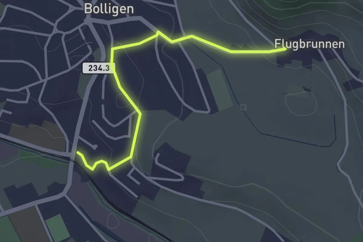
Easy · Trail
Flugbrunnen – Bolligen
2.9 km · ↑ 87 m · 53 min · 2 km away
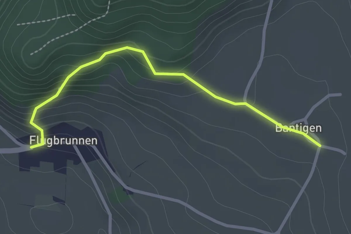
Easy · Trail
Bantigen – Flugbrunnen
2.3 km · ↑ 151 m · 53 min · 2 km away
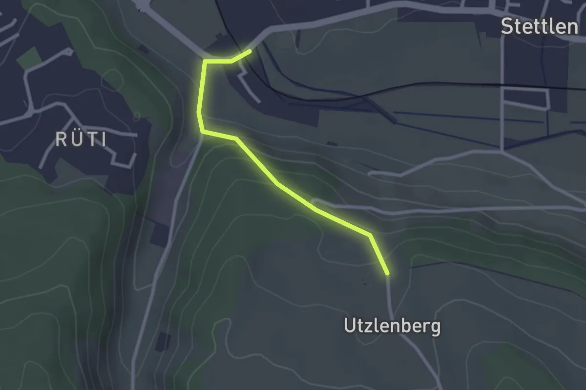
Easy · Trail
Deisswil – Utzlenberg
2.1 km · ↑ 124 m · 46 min · 2 km away
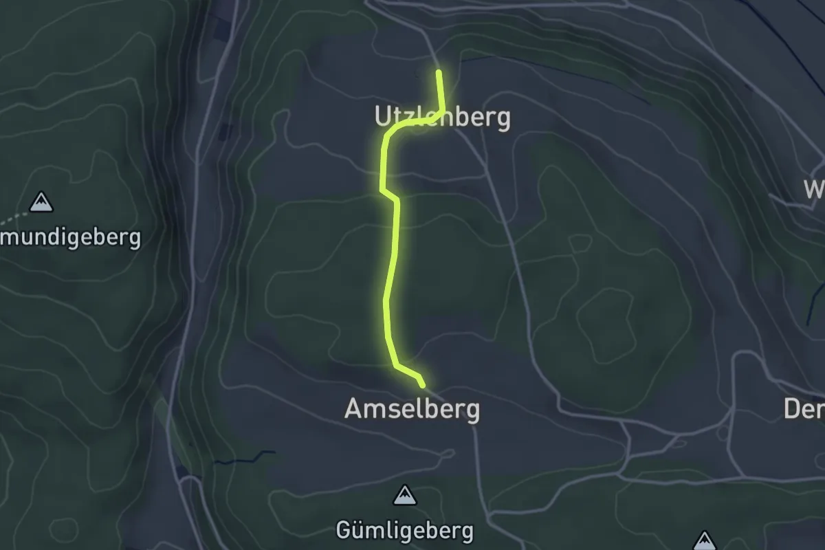
Easy · Trail
Amslenberg – Utzlenberg
2.3 km · ↑ 104 m · 46 min · 2 km away
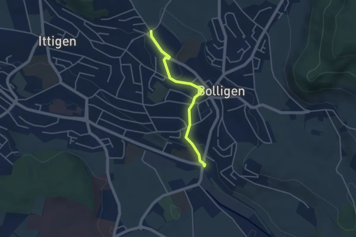
Easy · Trail
Schnägghubel – Bolligen
2.9 km · ↑ 59 m · 48 min · 2 km away
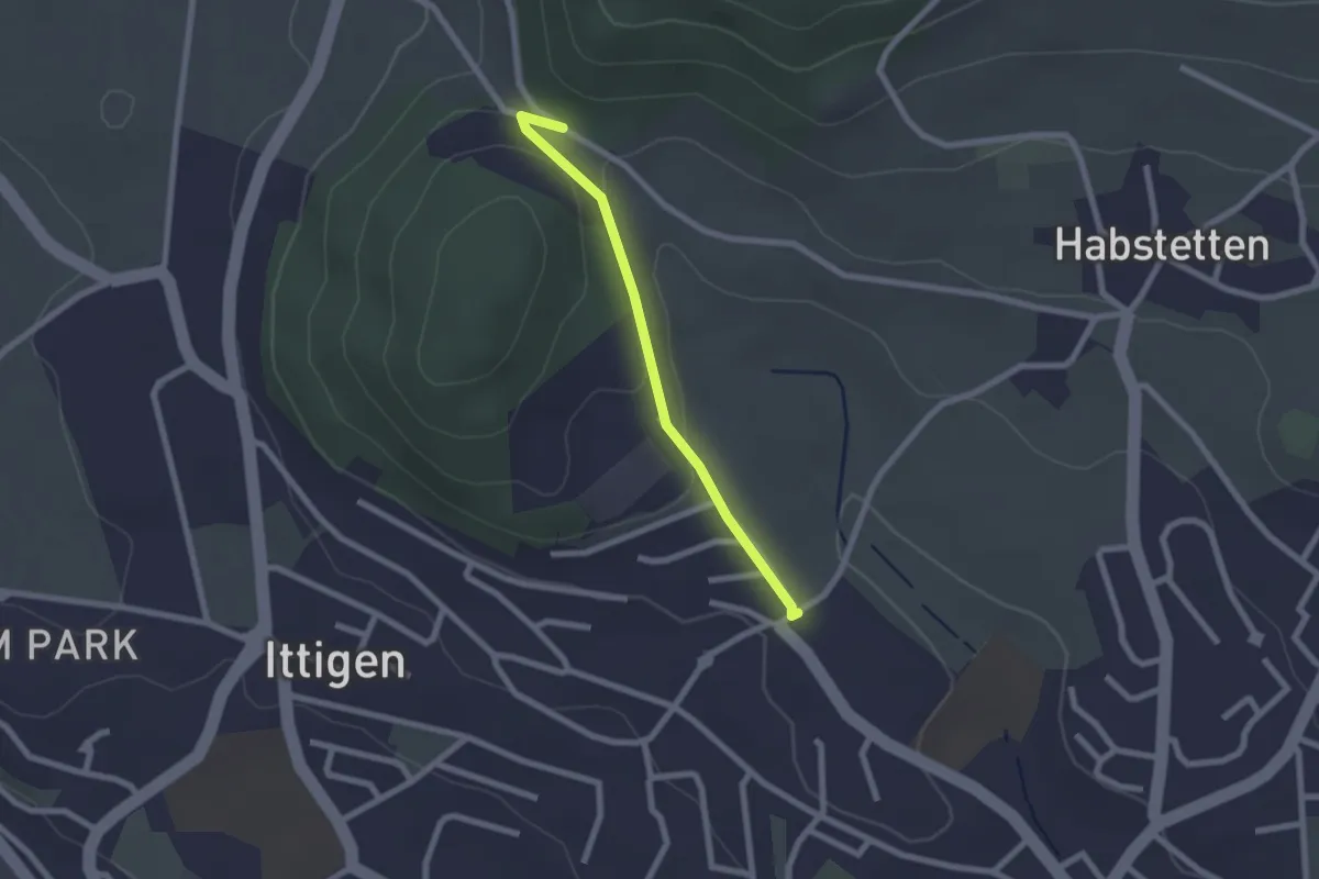
Easy · Trail
Schlupf – Schnägghubel
2.0 km · ↑ 56 m · 36 min · 2 km away
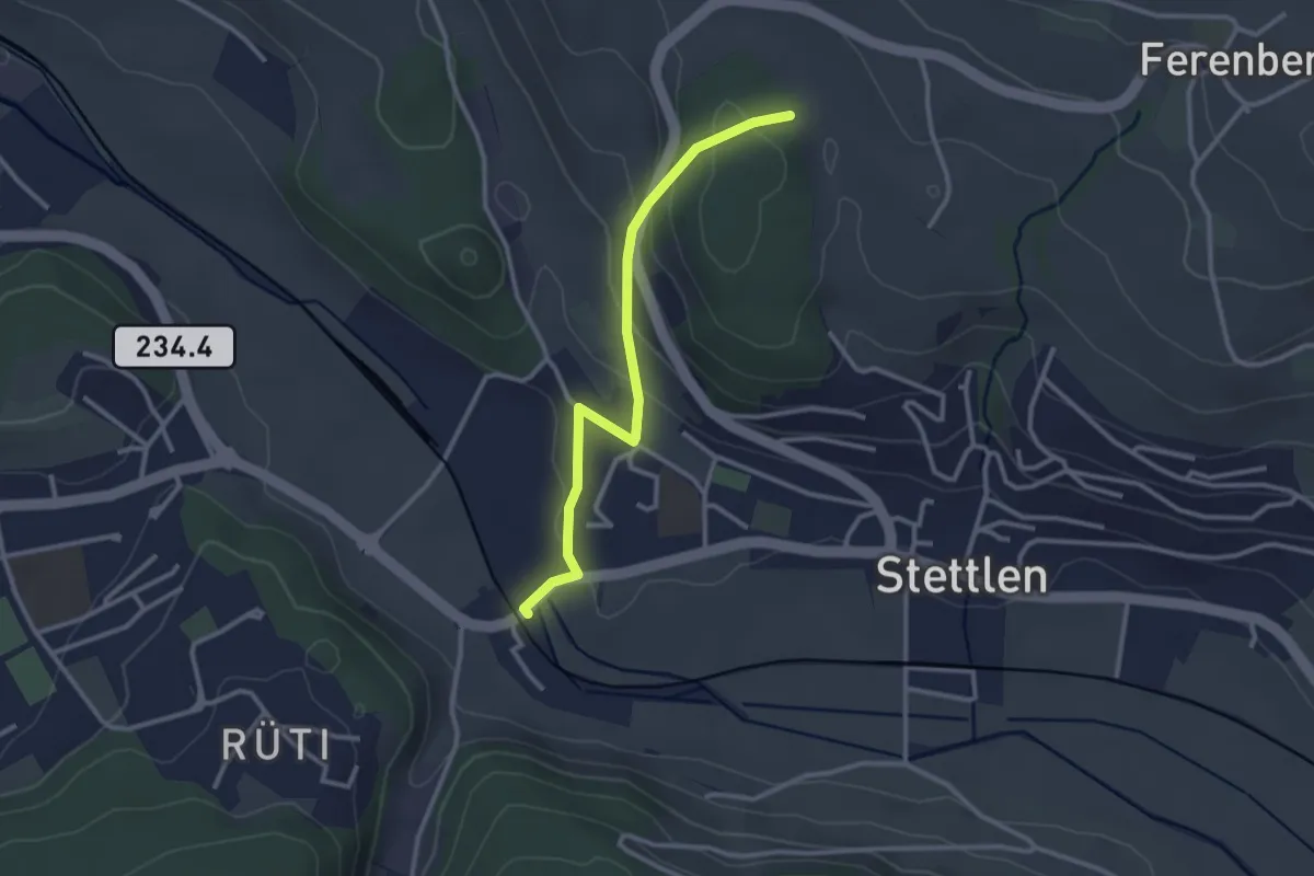
Easy · Trail
Buechholz – Deisswil
2.8 km · ↑ 135 m · 57 min · 2 km away
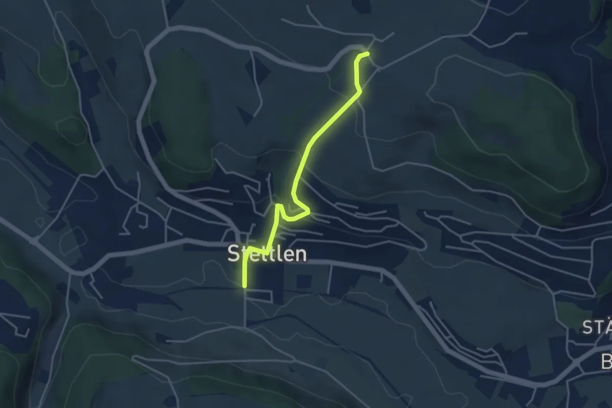
Easy · Trail
Ferenberg – Stettlen
3.4 km · ↑ 179 m · 1 h 11 min · 2 km away
Easy · Trail
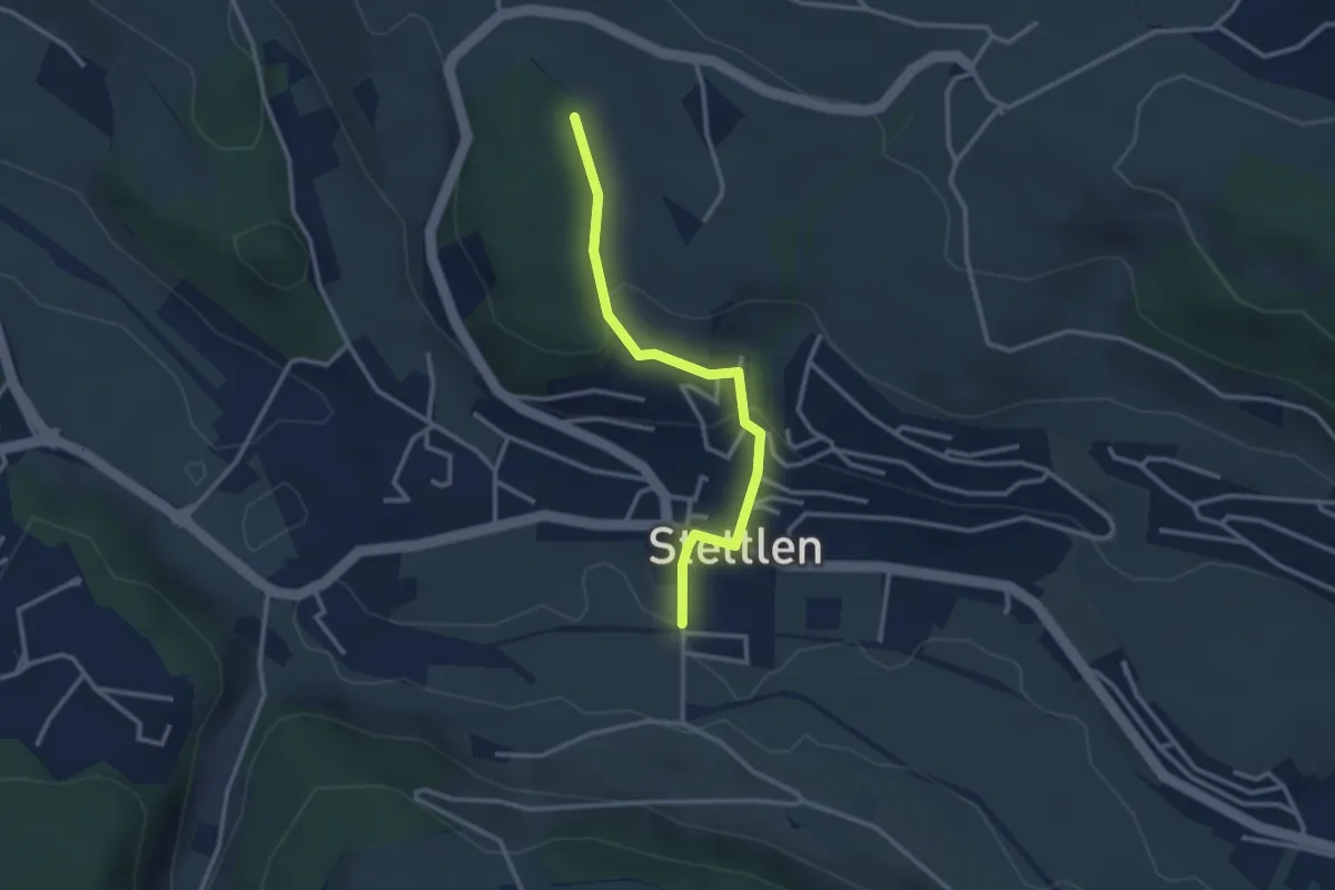
Buechholz – Stettlen
2.8 km · ↑ 115 m · 55 min · 2 km away
Easy · Trail
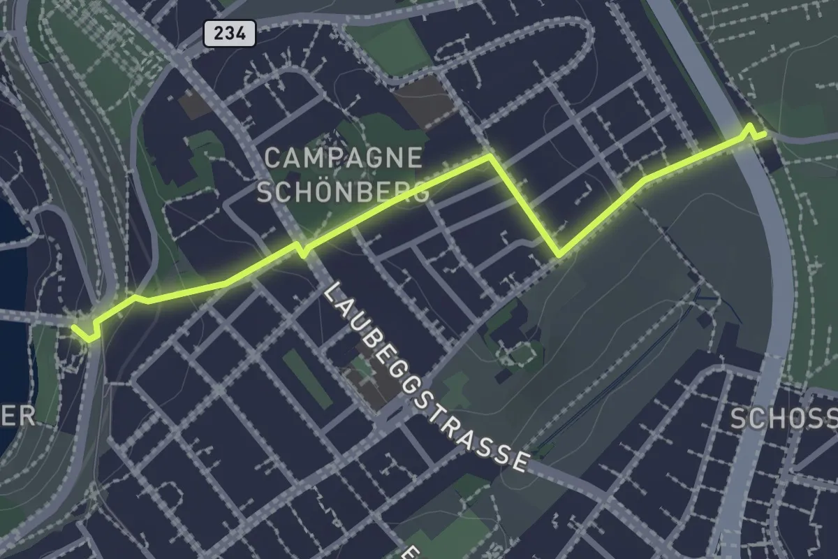
Bern/Bärenpark – Zentrum Paul Klee
2.5 km · ↑ 82 m · 46 min · 3 km away
Demanding · Summit
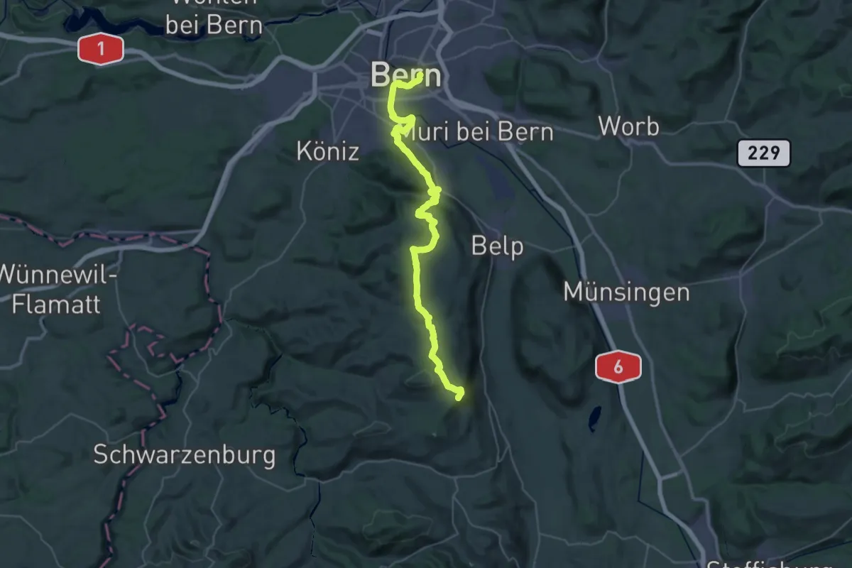
ViaJacobi
38.0 km · ↑ 1072 m · 11 h 18 min · 3 km away
Demanding · Summit
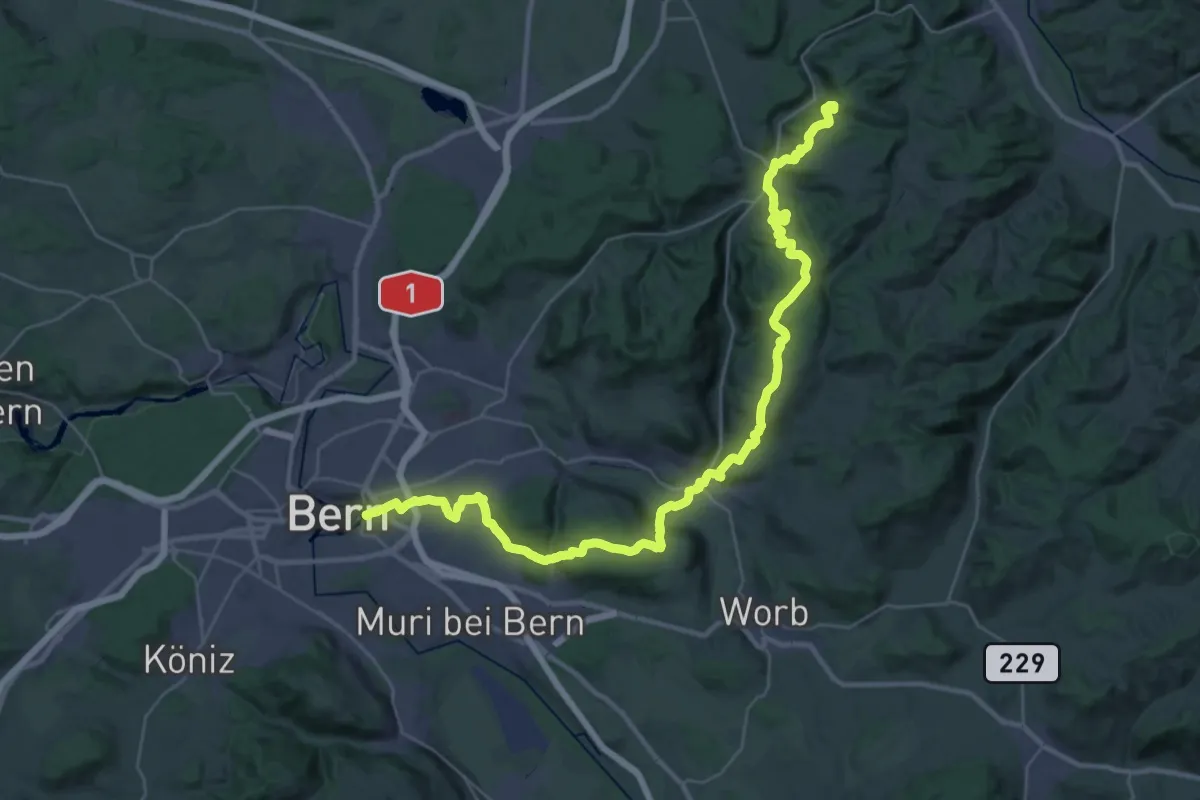
ViaJacobi
42.9 km · ↑ 1593 m · 13 h 35 min · 3 km away
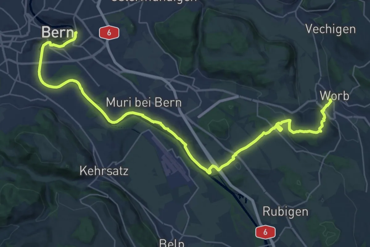
Medium · Trail
Trans Swiss Trail
15.7 km · ↑ 273 m · 4 h 29 min · 3 km away
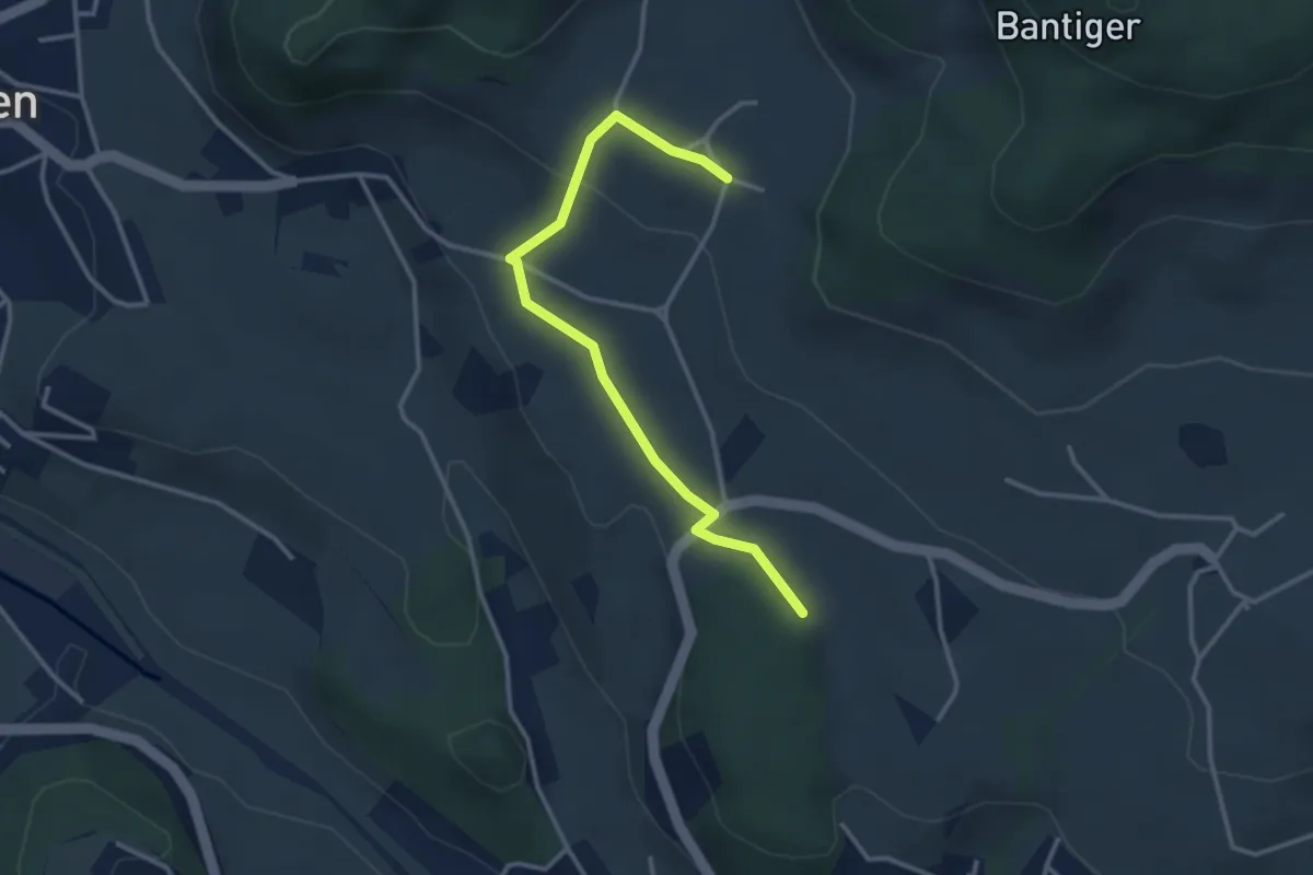
Easy · Trail
Bantigen – Buecholz
3.3 km · ↑ 57 m · 54 min · 3 km away
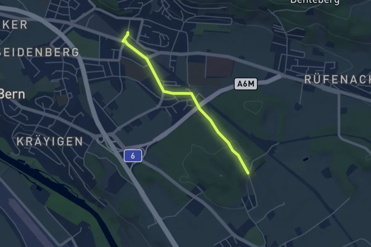
Easy · Trail
Hüenwald – Gümligen
4.0 km · ↑ 36 m · 1 h 2 min · 3 km away
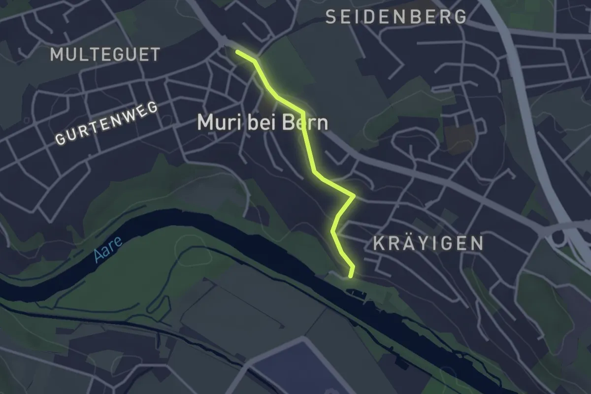
Easy · Trail
Muribad - Muri
2.3 km · ↑ 43 m · 38 min · 3 km away
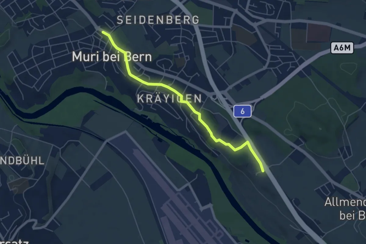
Easy · Trail
Muri – Vorder Märchligen
5.4 km · ↑ 49 m · 1 h 24 min · 3 km away
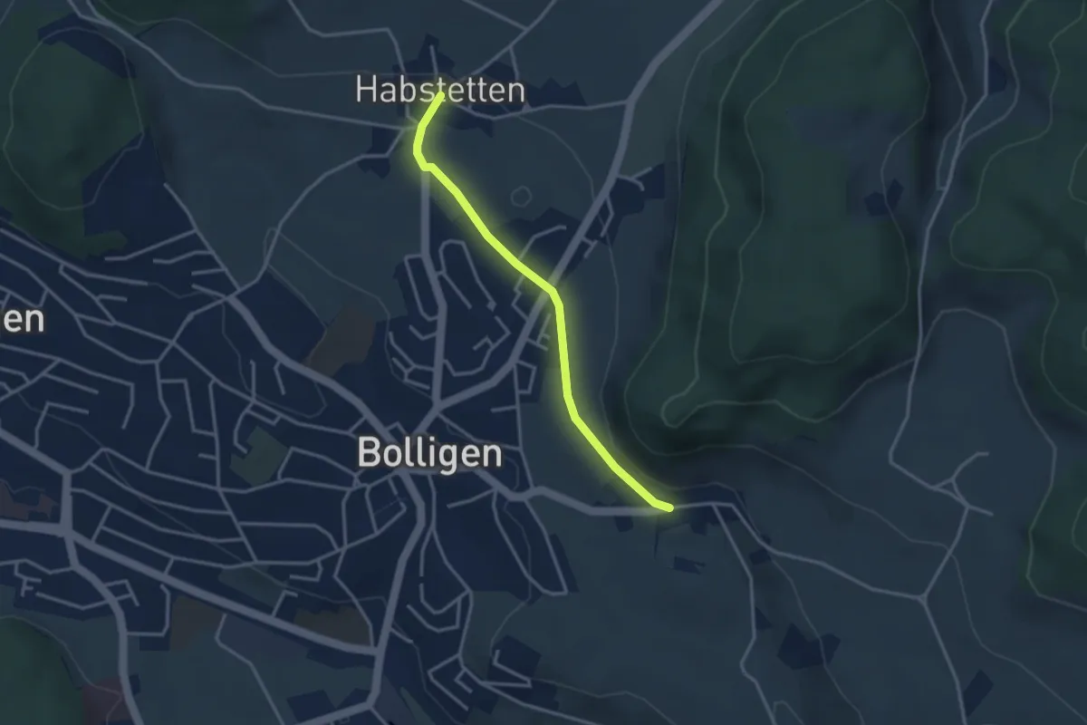
Easy · Trail
Habstetten – Flugbrunnen
3.0 km · ↑ 34 m · 47 min · 3 km away
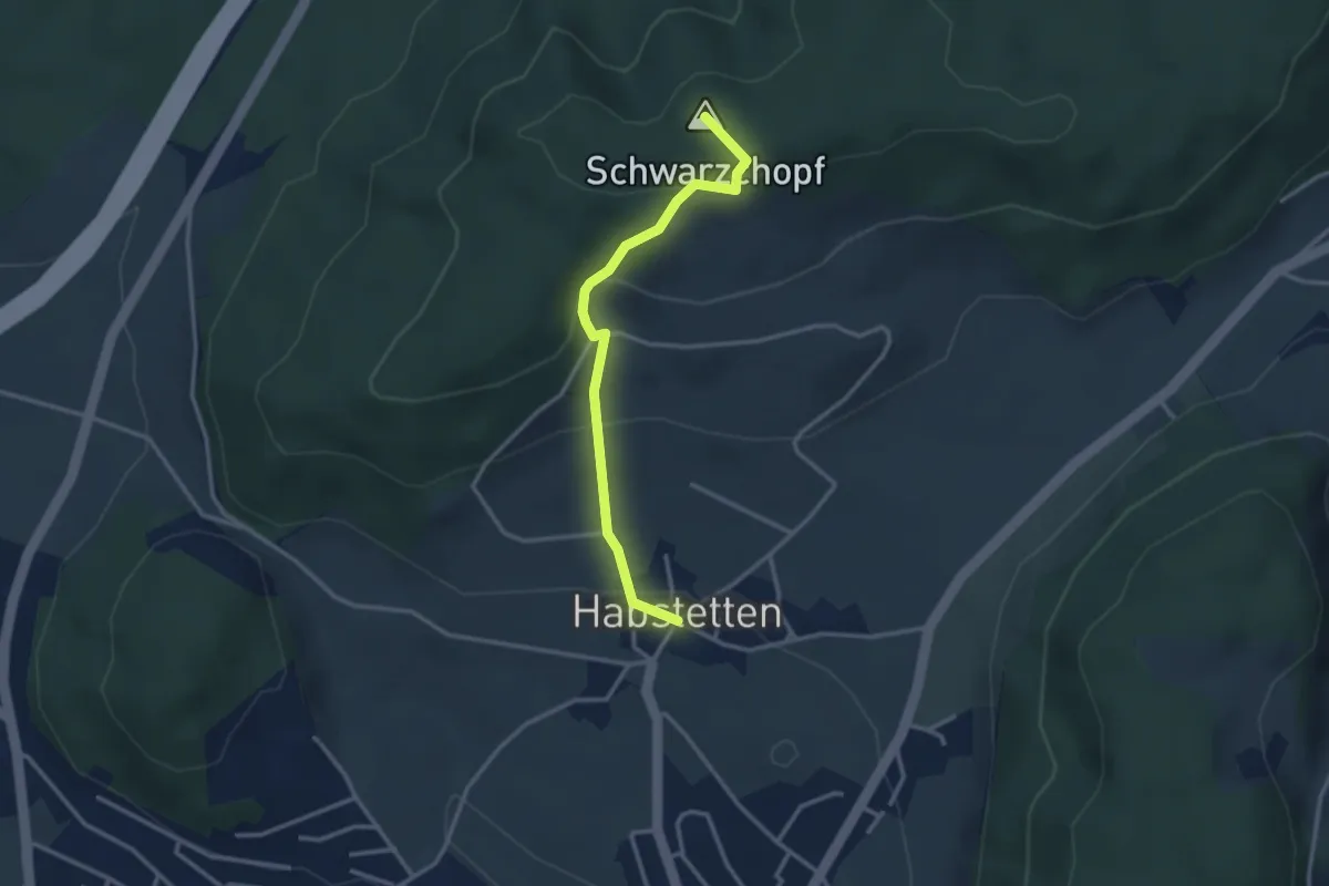
Easy · Summit
Bannholz – Habstetten
3.0 km · ↑ 167 m · 1 h 4 min · 3 km away
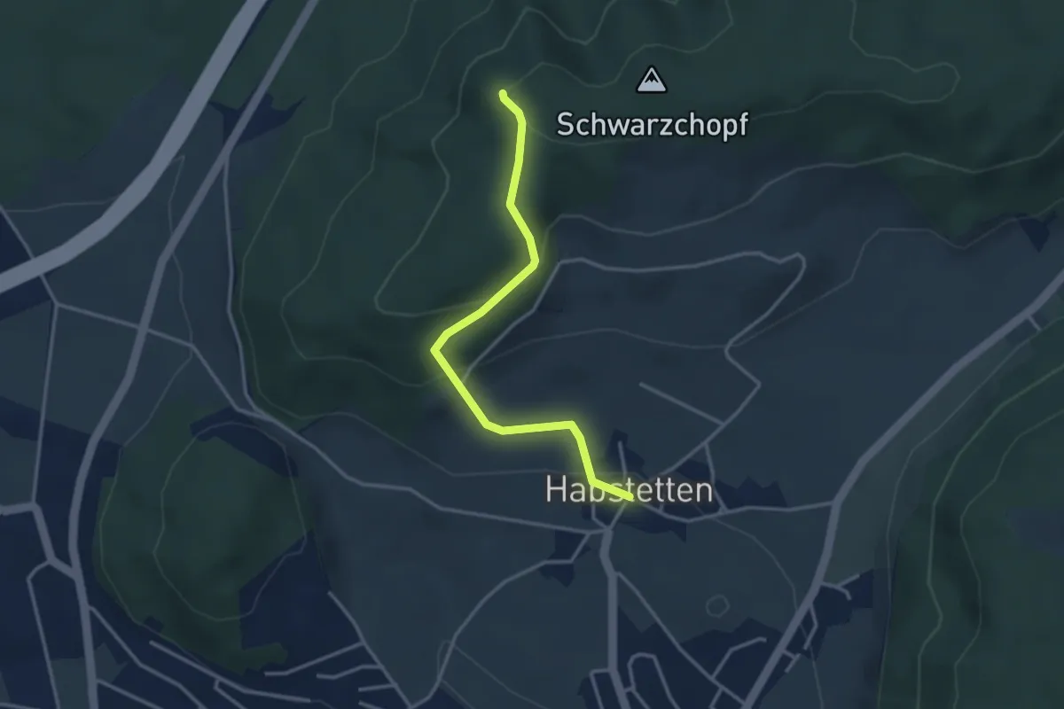
Easy · Trail
Grauholz/Schwarzkopf – Habstetten
3.2 km · ↑ 157 m · 1 h 5 min · 3 km away
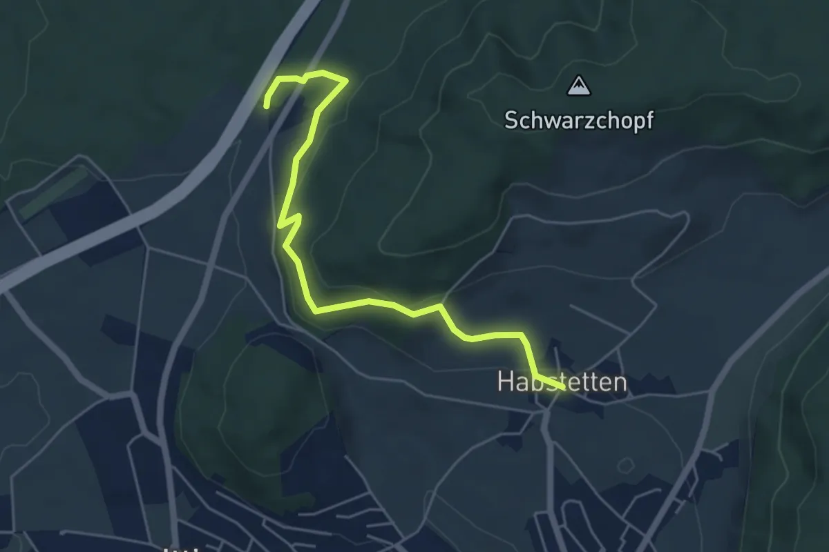
Easy · Trail
Forsthus – Habstetten
5.1 km · ↑ 162 m · 1 h 33 min · 3 km away
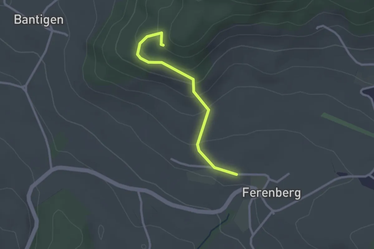
Easy · Trail
Chatzenstyg – Ferenberg
2.2 km · ↑ 131 m · 49 min · 3 km away
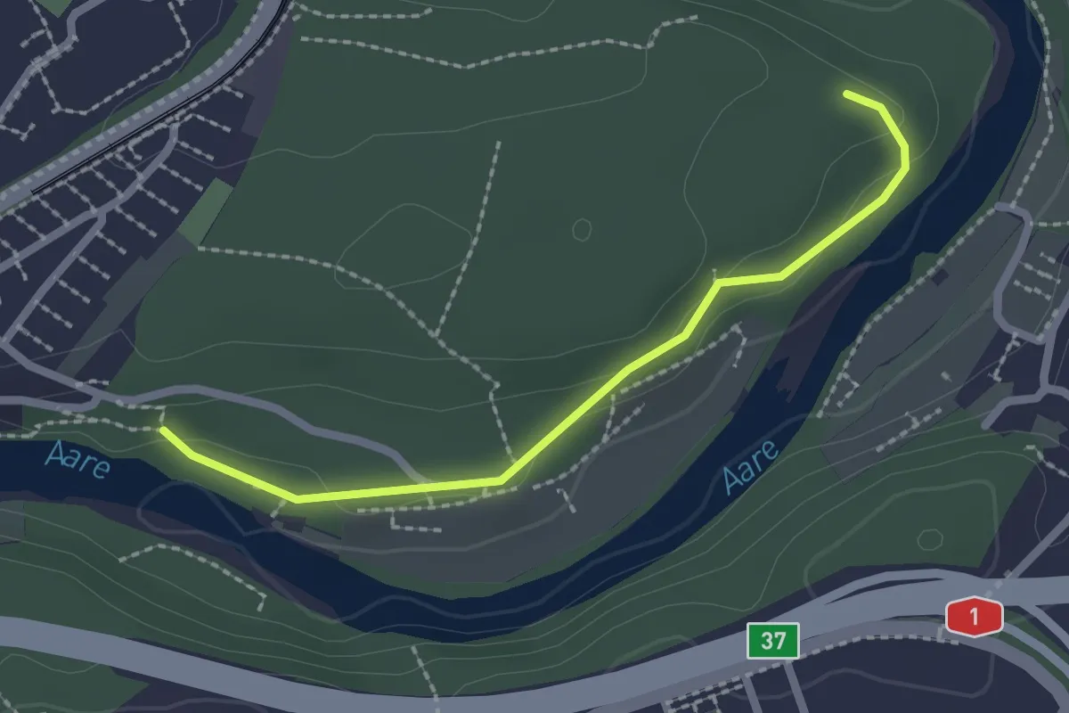
Easy · Trail
Aaregg – Thormeboden
2.1 km · ↑ 30 m · 34 min · 3 km away
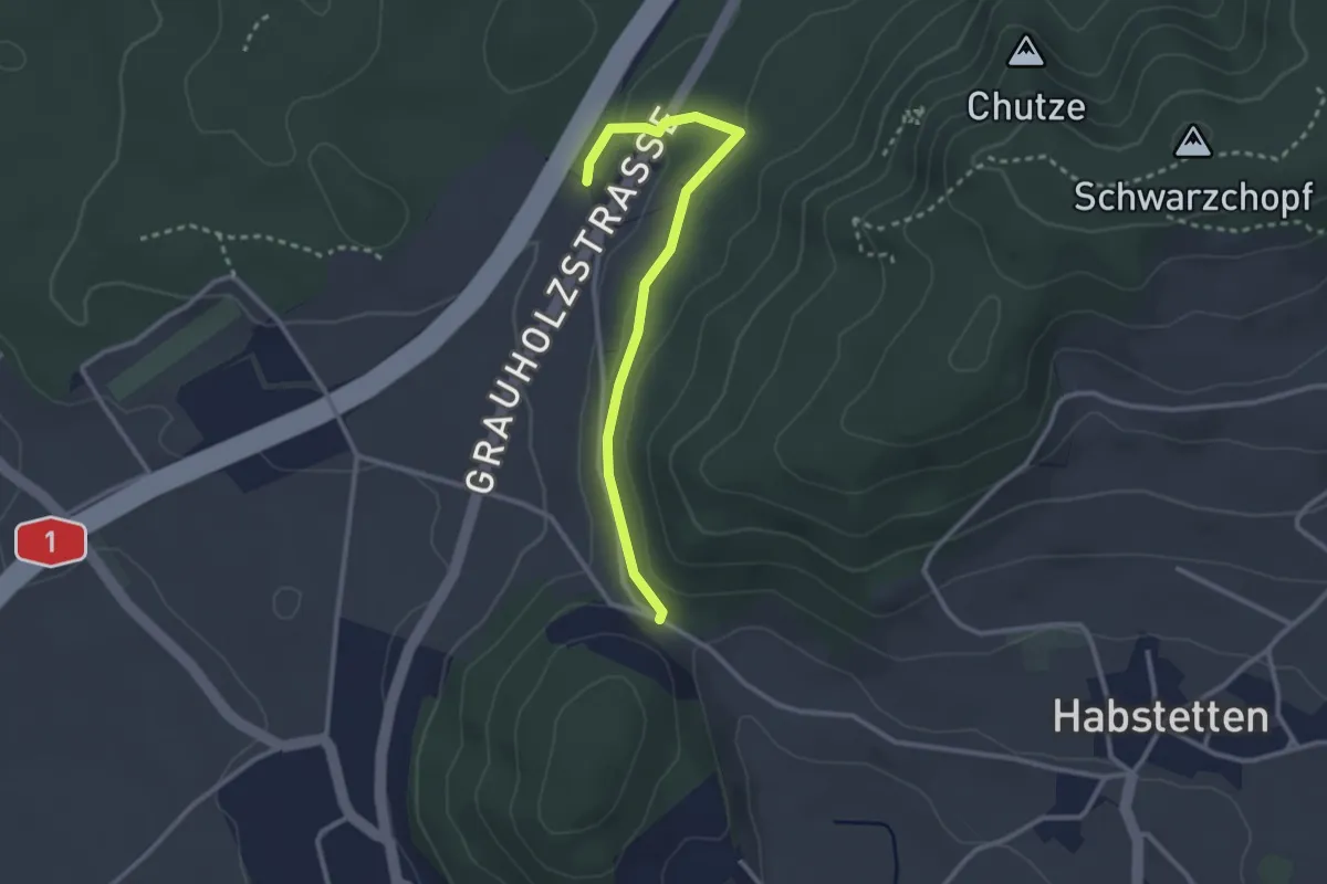
Easy · Trail
Forsthus – Schlupf
2.8 km · ↑ 40 m · 45 min · 3 km away
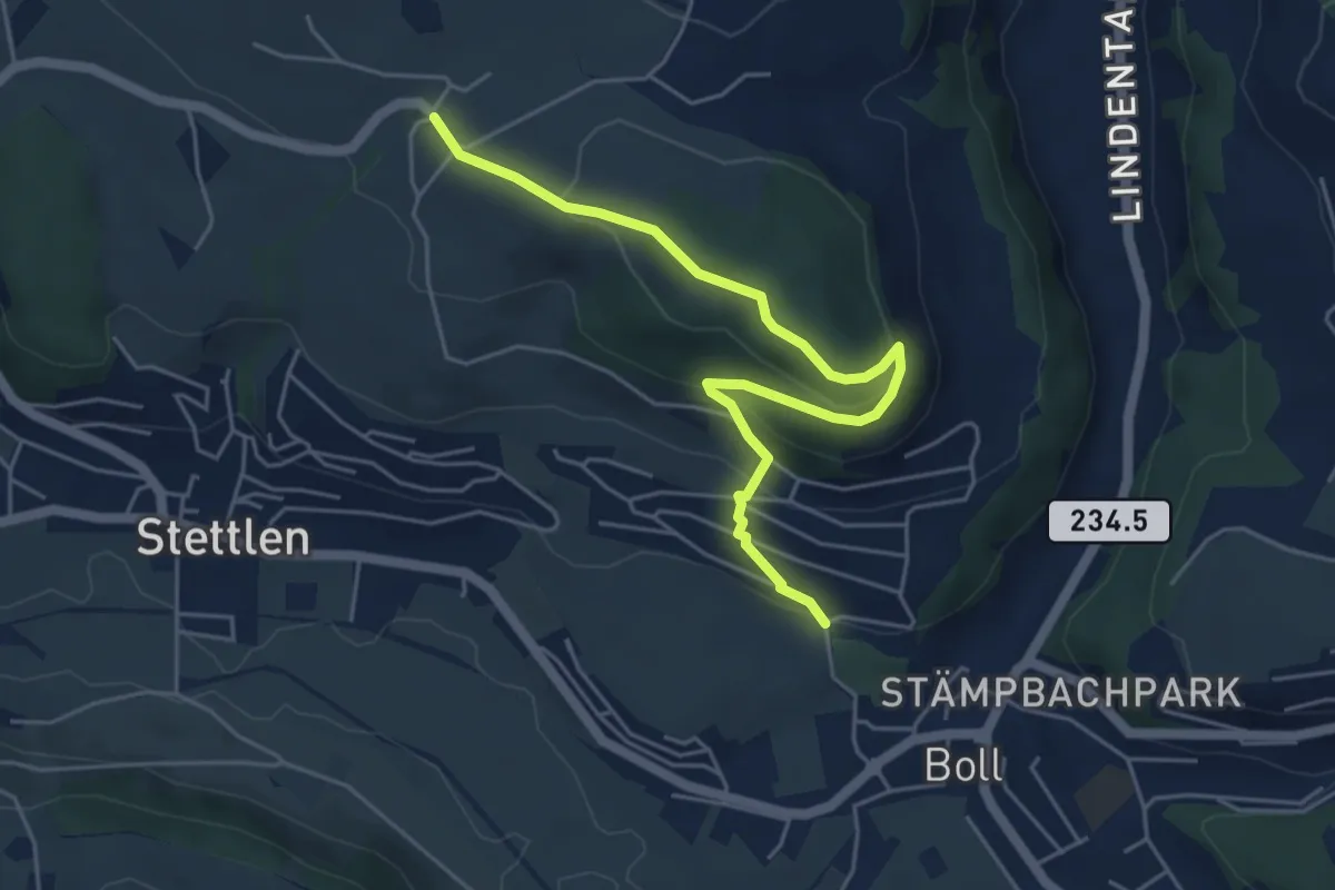
Easy · Trail
Ferenberg – Sinneringen
5.4 km · ↑ 245 m · 1 h 48 min · 3 km away
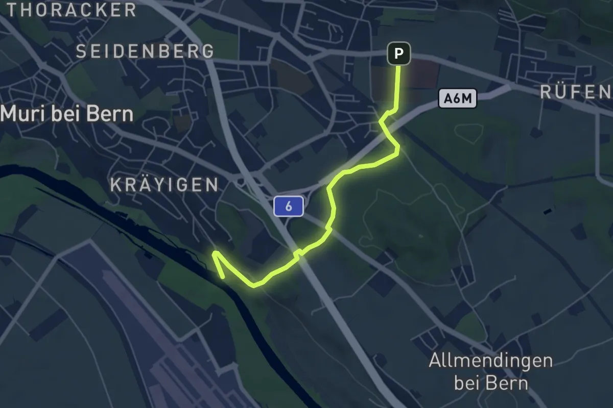
Easy · Trail
Gümligen Siloah – Auguetbrügg
5.5 km · ↑ 100 m · 1 h 31 min · 3 km away
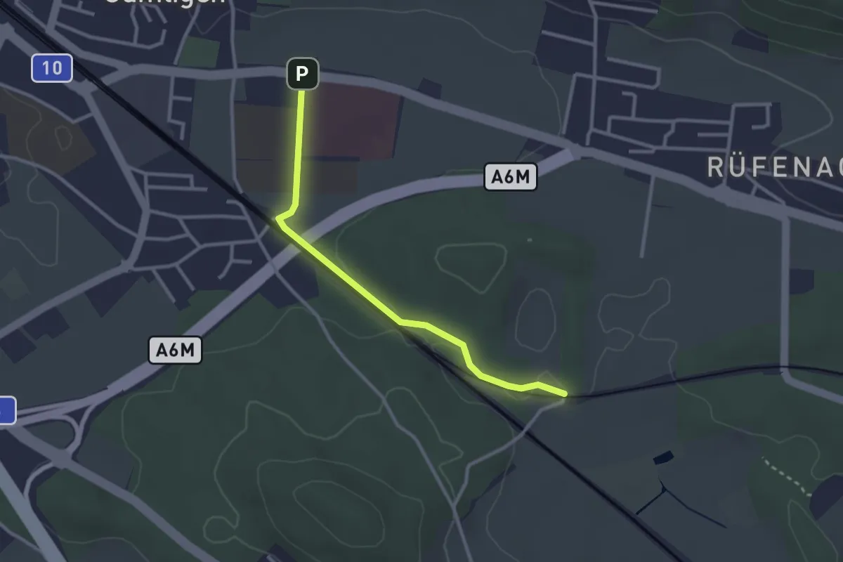
Easy · Trail
Gümligen Siloah – Rüti
2.7 km · ↑ 18 m · 41 min · 3 km away
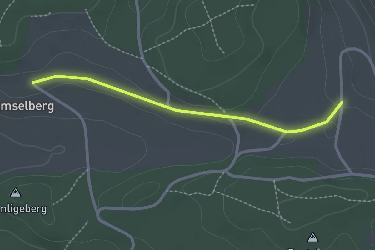
Easy · Trail
Dentenberg/Käserei – Amsleberg
2.0 km · ↑ 17 m · 31 min · 4 km away
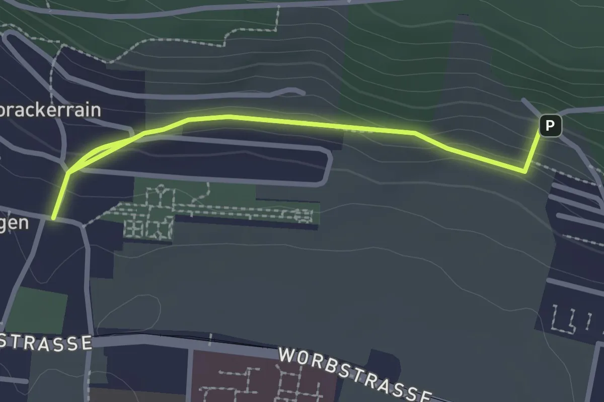
Easy · Trail
Gümligen/Kirche – Scheieholz
2.7 km · ↑ 103 m · 51 min · 4 km away
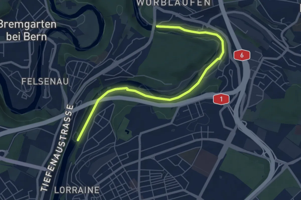
Easy · Trail
Tiefenaubrücke – Felsenausteg
6.4 km · ↑ 56 m · 1 h 38 min · 4 km away
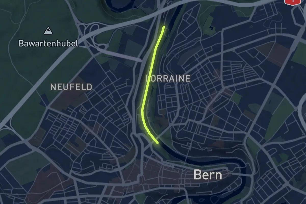
Easy · Trail
Blutturm – Stauwehr Felsenau
3.3 km · ↑ 60 m · 55 min · 4 km away
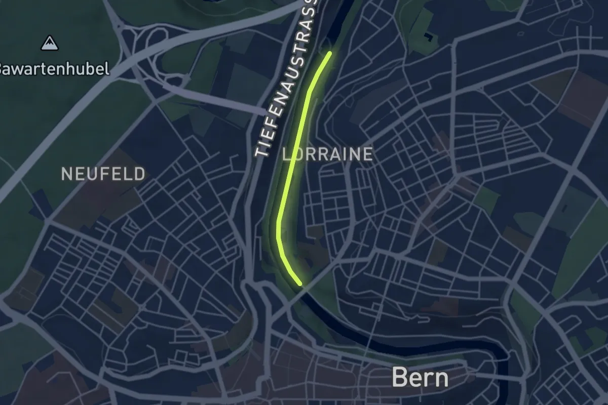
Easy · Trail
Felsenausteg – Lorrainebrücke
2.8 km · ↑ 5 m · 41 min · 4 km away
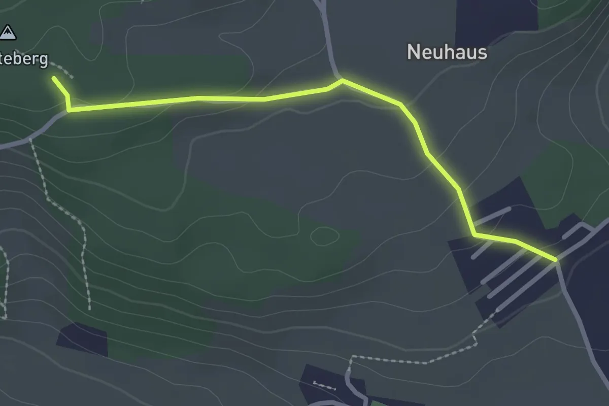
Easy · Trail
Neuhus – Denteberg
2.4 km · ↑ 76 m · 44 min · 4 km away
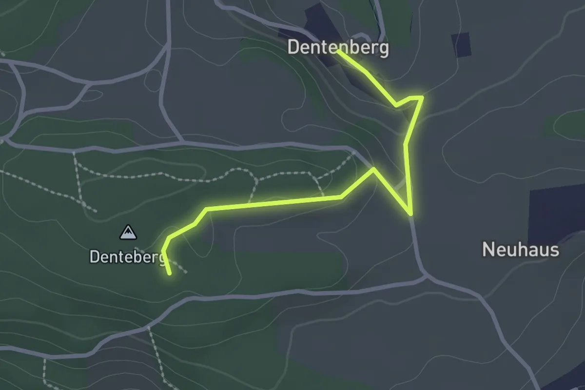
Easy · Trail
Dentenberg – Dentenberg
2.4 km · ↑ 69 m · 43 min · 4 km away
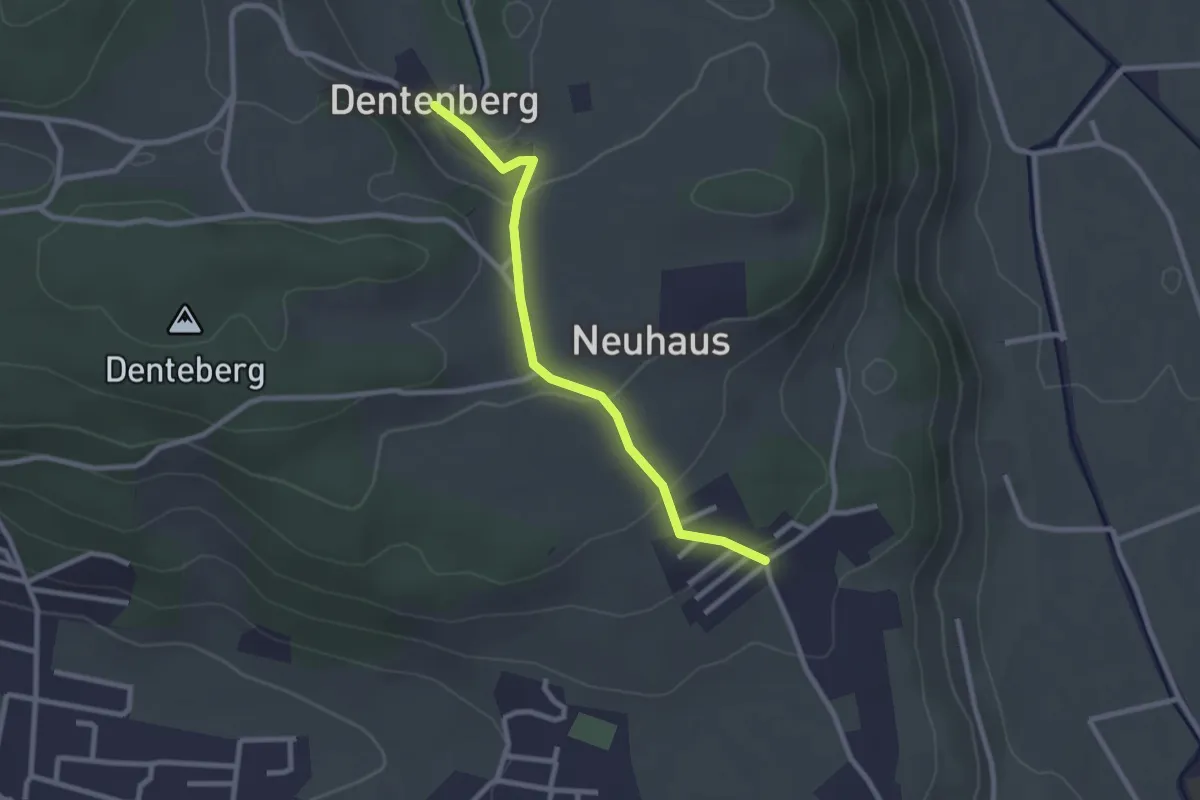
Easy · Trail
Neuhus – Dentenberg
2.4 km · ↑ 80 m · 45 min · 4 km away
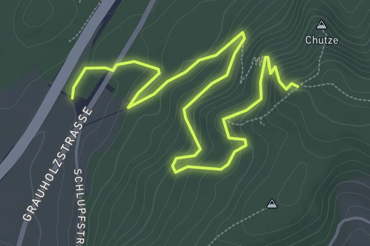
Medium · Trail
Forsthus – Grauholz/Schwarzkopf
5.1 km · ↑ 351 m · 1 h 58 min · 4 km away
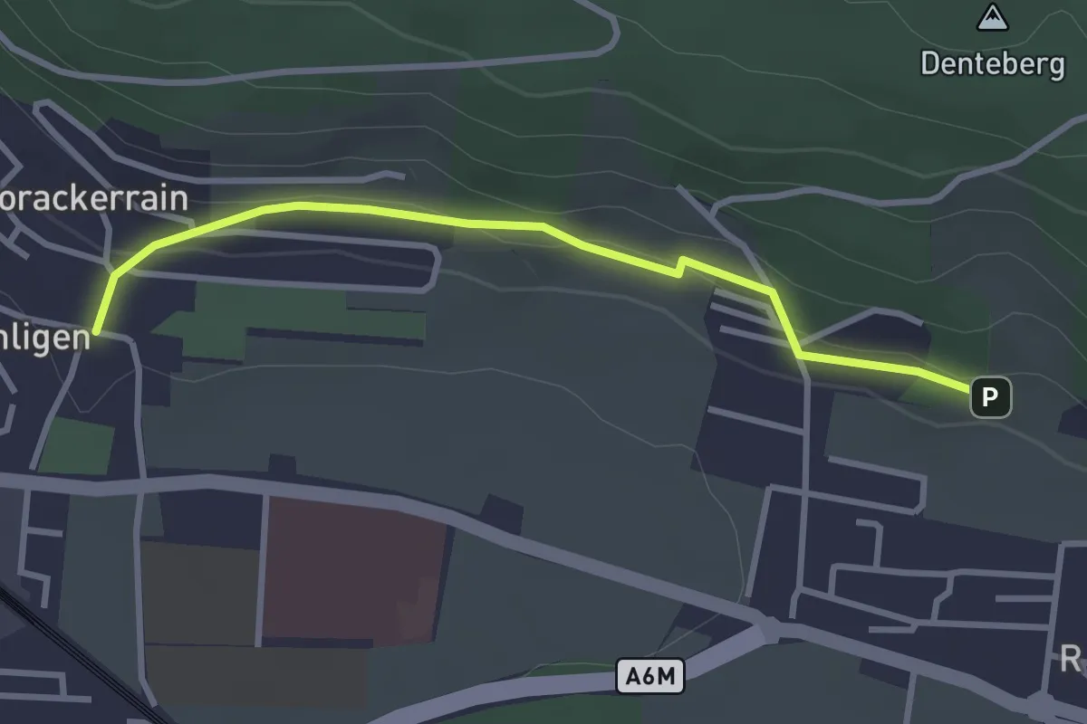
Easy · Trail
Sunnedörfli – Gümligen/Kirche
3.0 km · ↑ 80 m · 53 min · 4 km away
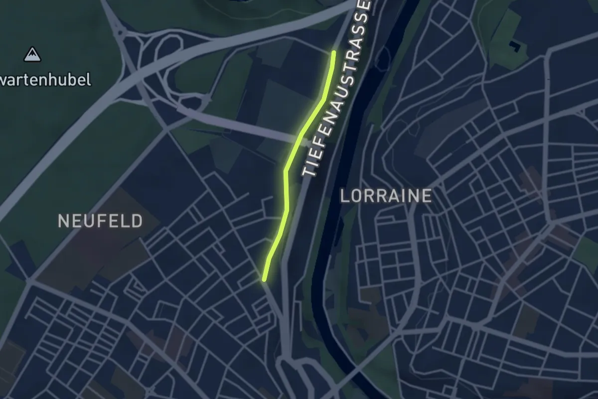
Easy · Trail
Bierhübeli – Äussere Enge
2.2 km · ↑ 9 m · 32 min · 4 km away
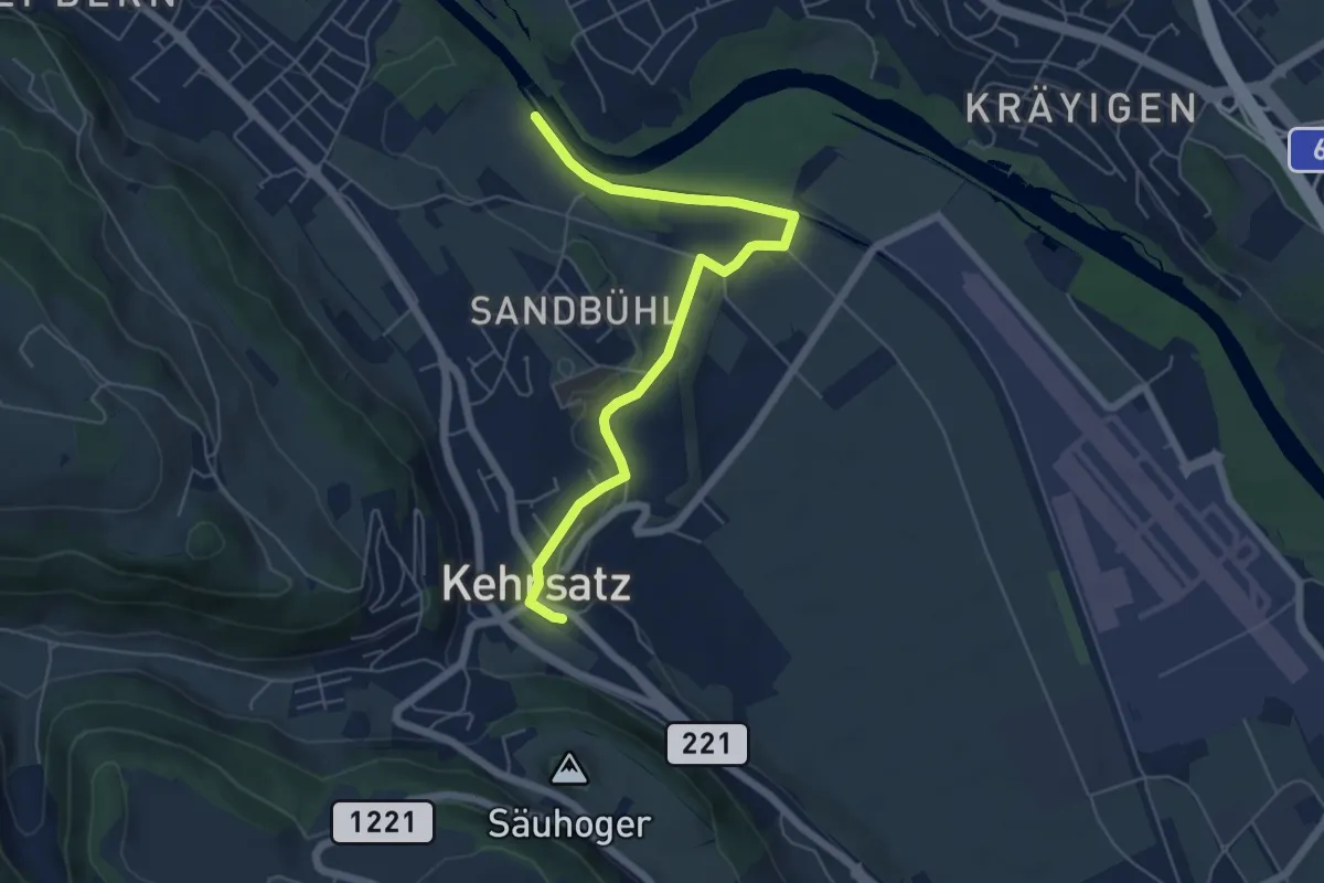
Easy · Trail
Bodenacherfähre - Kehrsatz
6.1 km · ↑ 89 m · 1 h 37 min · 4 km away
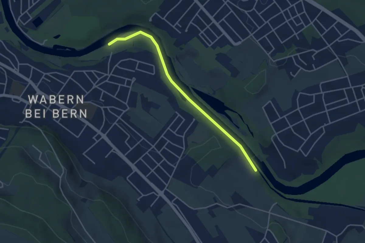
Easy · Trail
Bodenacherfähre - Eicholz
3.5 km · ↑ 25 m · 53 min · 4 km away