Trails near Ostermundigen
488 hikes starting within 15 km, nearest first.
Nearest first, page 2 of 11
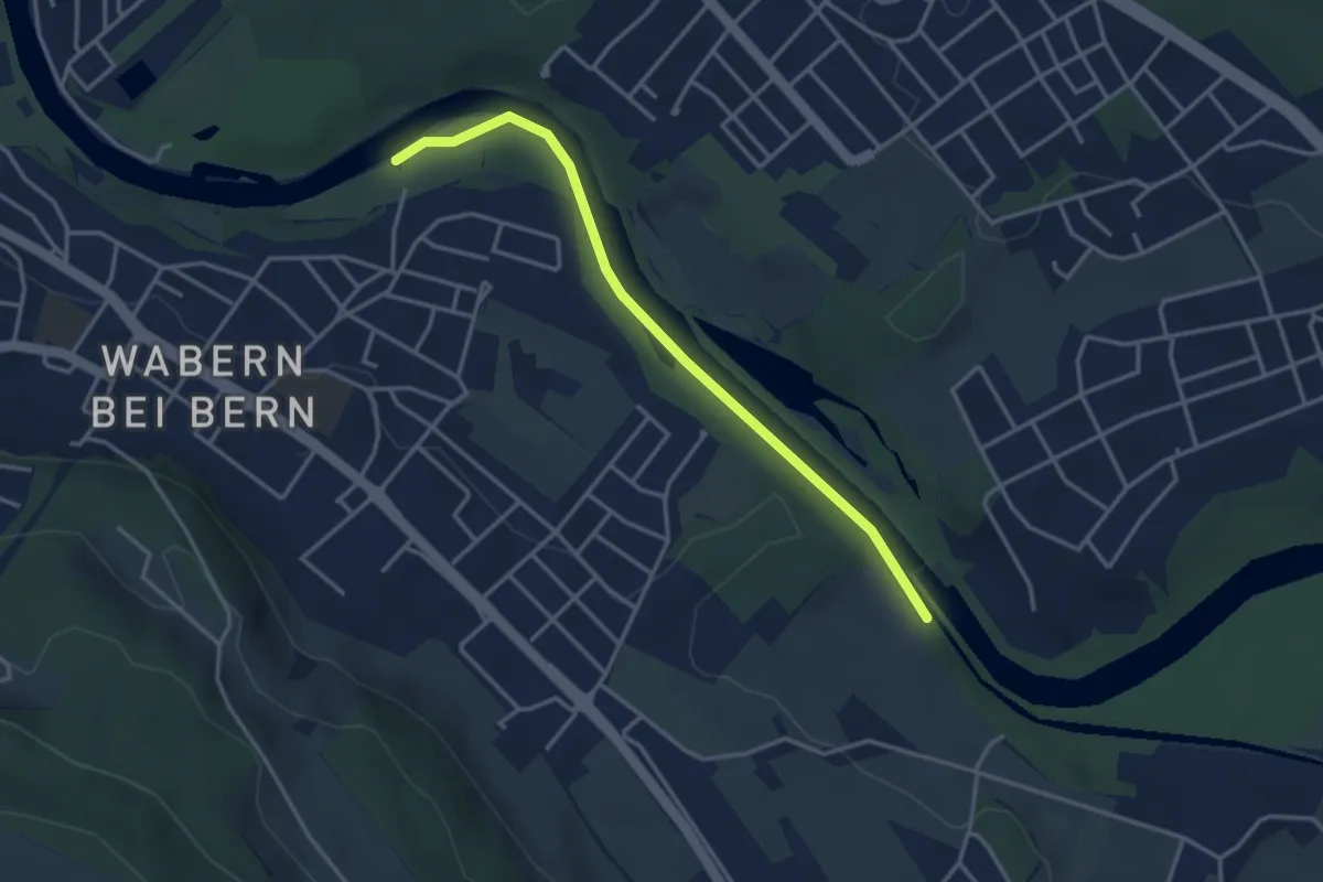
Easy · Trail
Bodenacherfähre - Eicholz
3.5 km · ↑ 25 m · 53 min · 4 km away
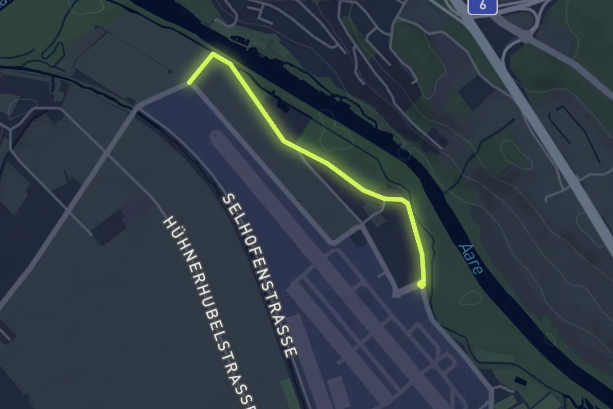
Easy · Trail
Flugplatz Bern Belp - Kehrsatz - fixme
3.2 km · ↑ 5 m · 46 min · 4 km away
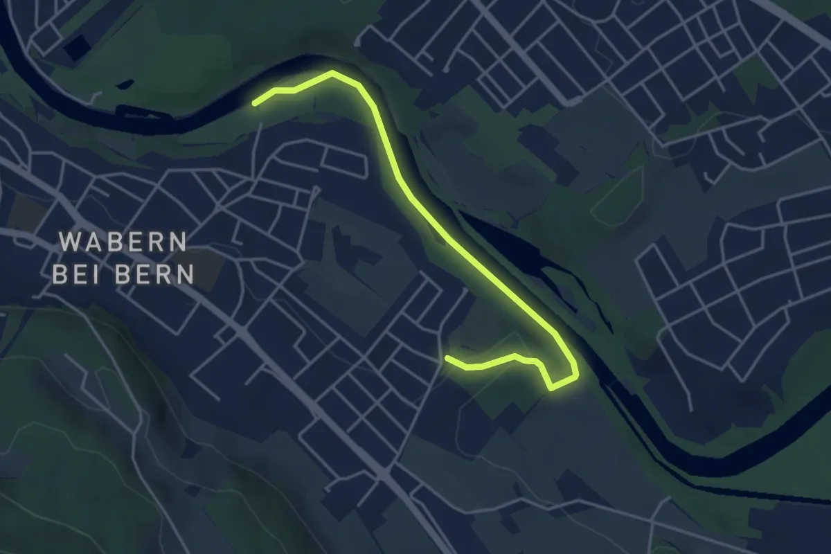
Easy · Trail
Nesslerenhölzli - Eichholz
4.1 km · ↑ 64 m · 1 h 7 min · 4 km away
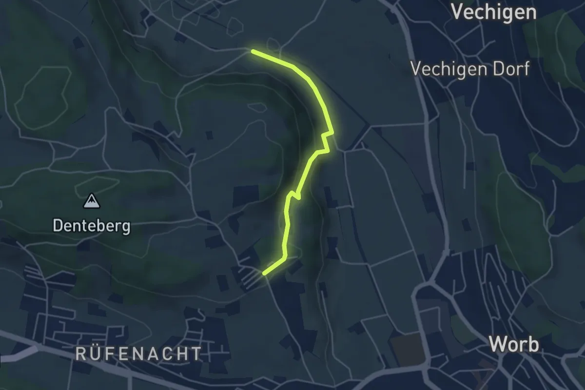
Easy · Trail
Nesselbank - Neuhus
3.8 km · ↑ 126 m · 1 h 10 min · 4 km away
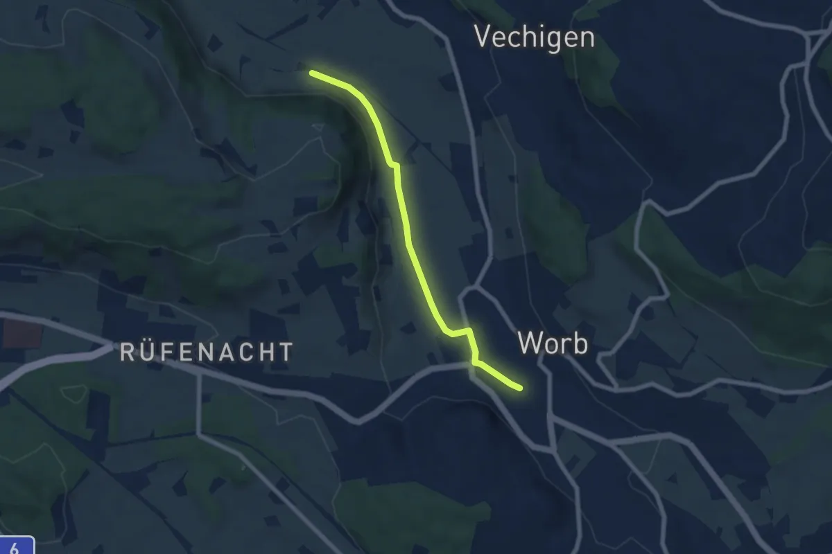
Easy · Trail
Nesselbank - Worb Sternen
5.6 km · ↑ 31 m · 1 h 24 min · 4 km away
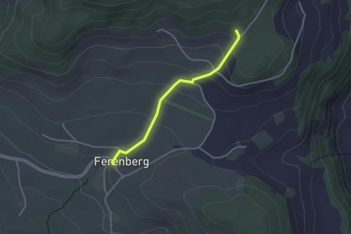
Easy · Trail
Cholegruebe – Ferenberg
2.4 km · ↑ 106 m · 48 min · 4 km away
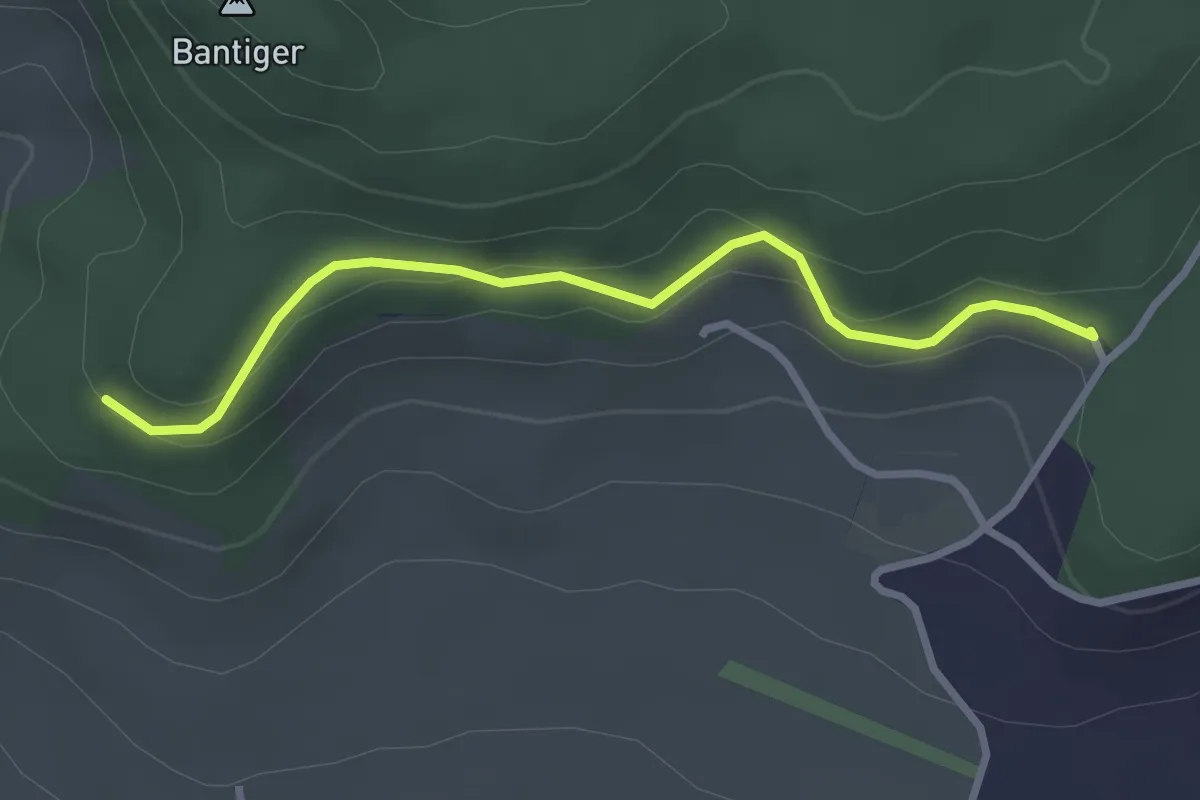
Easy · Trail
Chatzenstyg – Cholegruebe
2.8 km · ↑ 80 m · 51 min · 4 km away
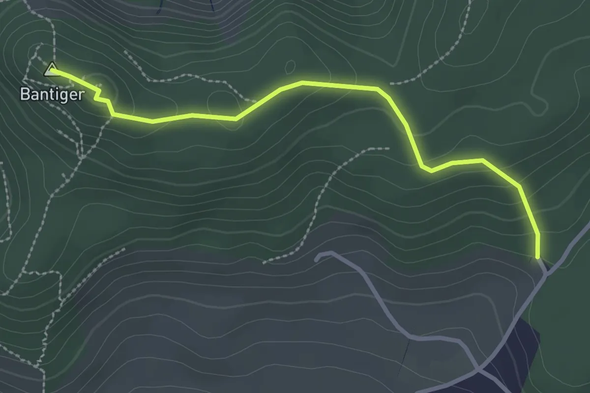
Easy · Summit
Bantiger – Cholgruebe
2.7 km · ↑ 119 m · 54 min · 4 km away
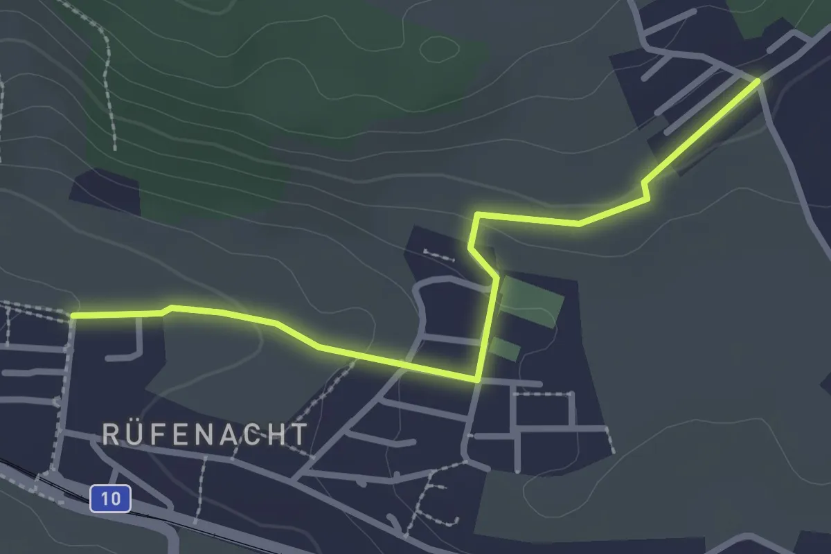
Easy · Trail
Neuhus – Rüfenacht
2.7 km · ↑ 67 m · 46 min · 4 km away
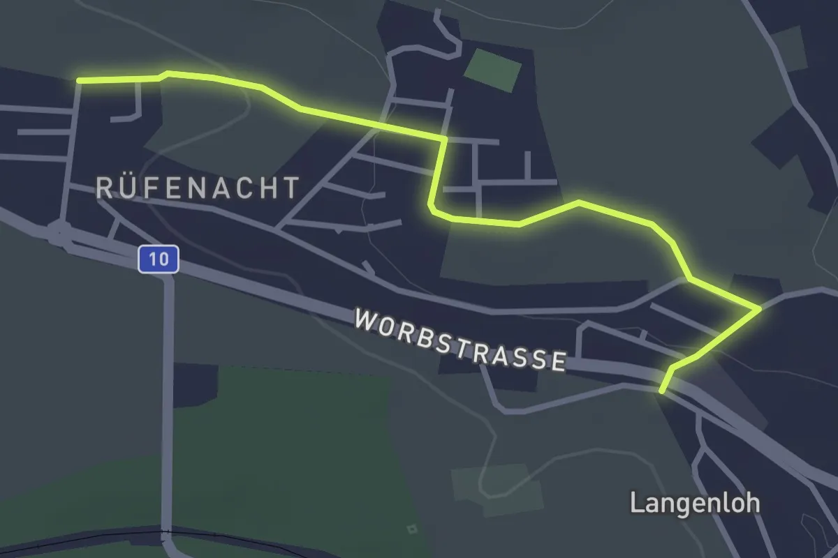
Easy · Trail
Langenloh – Rüfenacht
3.0 km · ↑ 57 m · 50 min · 4 km away
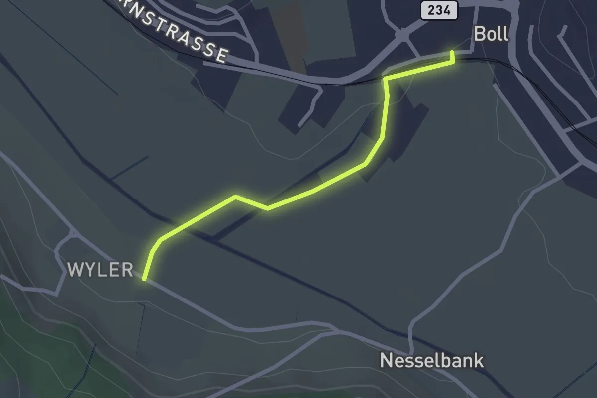
Easy · Trail
Boll - Wiler
2.1 km · ↑ 8 m · 31 min · 4 km away
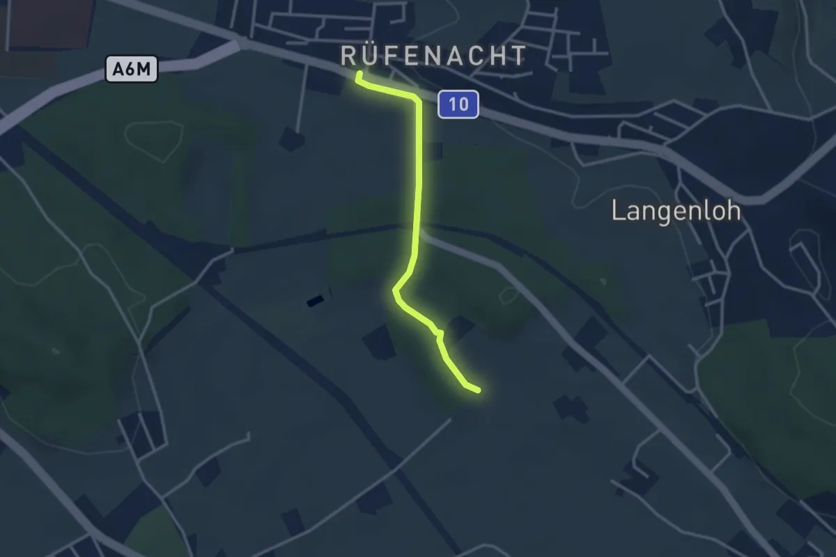
Easy · Trail
Rüfenacht – Chli Hüenliwald
2.6 km · ↑ 20 m · 40 min · 4 km away
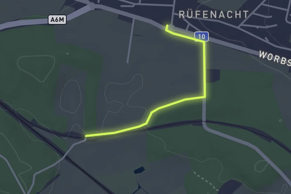
Easy · Trail
Rüti – Rüfenacht
2.3 km · ↑ 14 m · 35 min · 4 km away
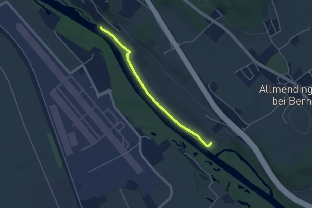
Easy · Trail
Auguetbrügg-Märchligenau
3.2 km · ↑ 35 m · 49 min · 4 km away
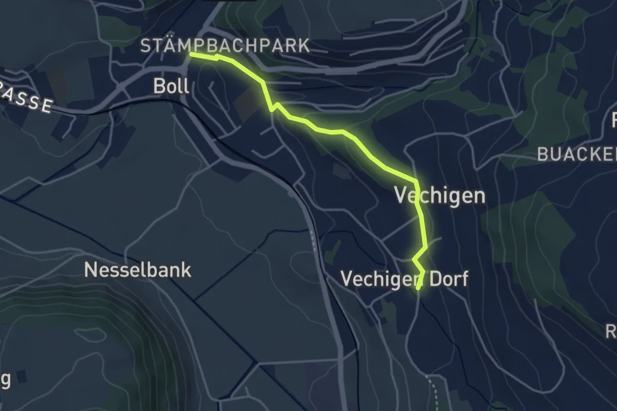
Easy · Trail
Boll – Vechigen
3.4 km · ↑ 74 m · 57 min · 4 km away
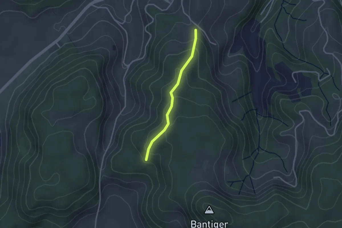
Easy · Trail
Geristein – Geristeinwald
2.2 km · ↑ 89 m · 42 min · 4 km away
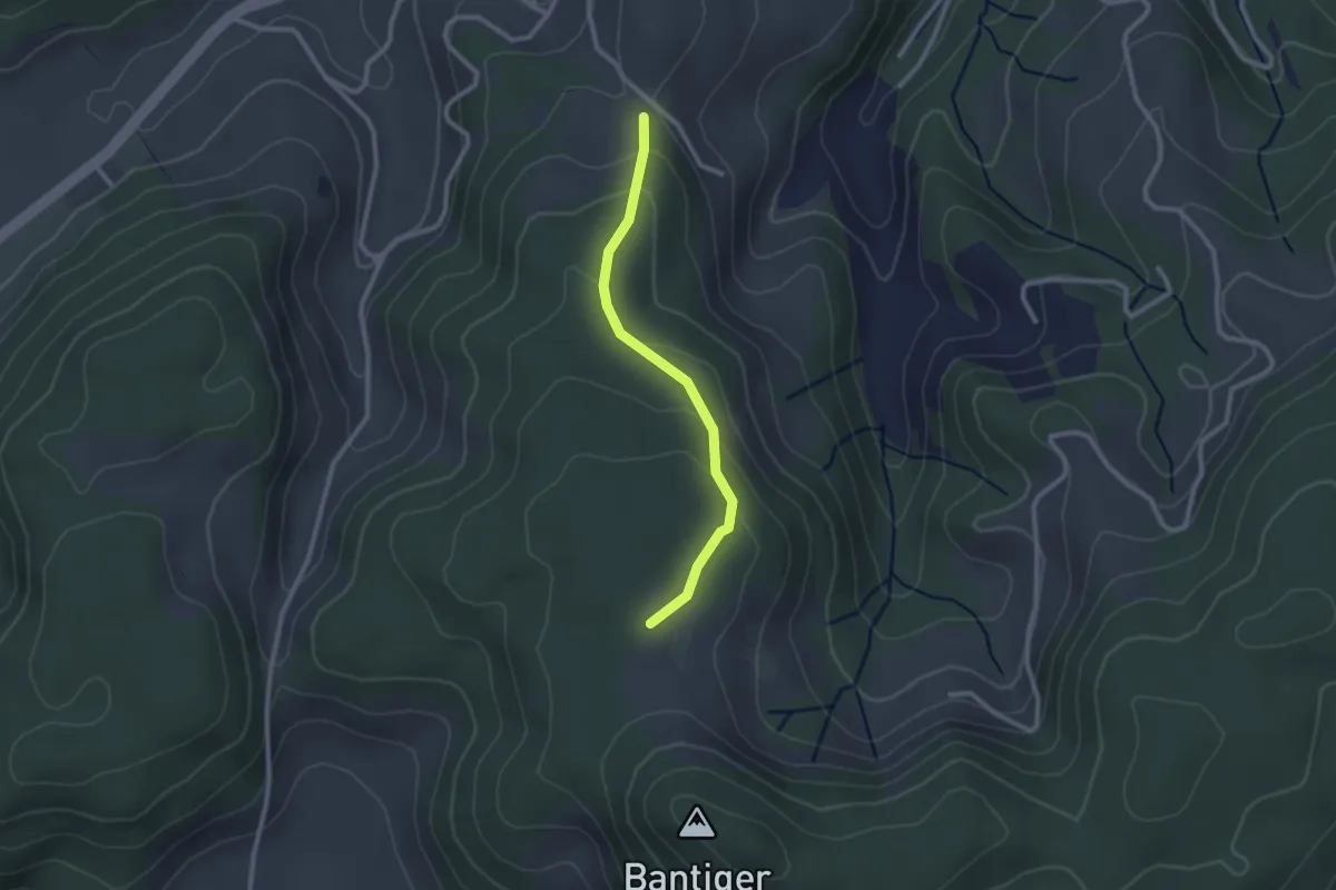
Easy · Trail
Geristein – Bantigenhubel
2.3 km · ↑ 111 m · 46 min · 4 km away
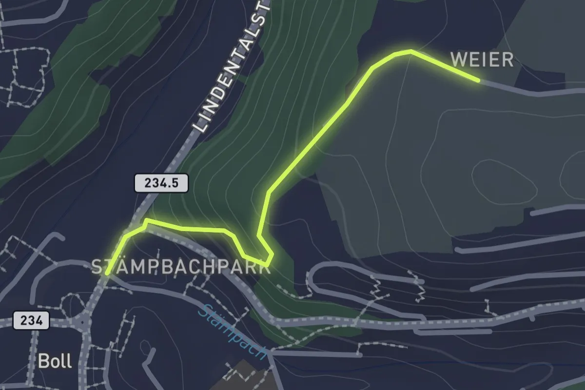
Easy · Trail
Boll - Weier
2.0 km · ↑ 113 m · 43 min · 4 km away
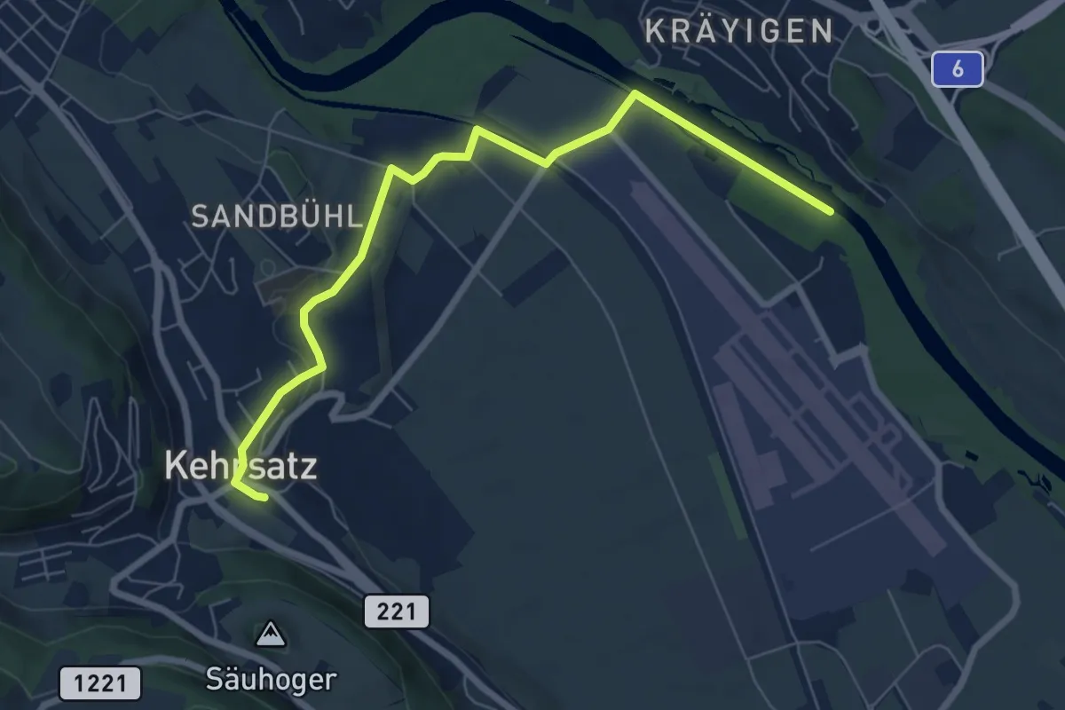
Easy · Trail
Auguetbrügg - Kehrsatz
7.2 km · ↑ 84 m · 1 h 53 min · 4 km away
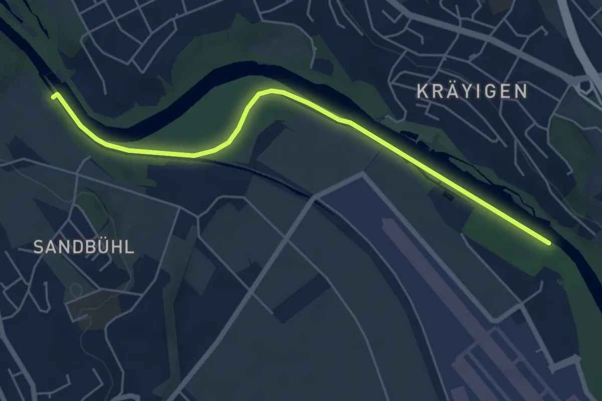
Easy · Trail
Auguetbrügg - Bodenacherfähre
5.3 km · ↑ 29 m · 1 h 18 min · 4 km away
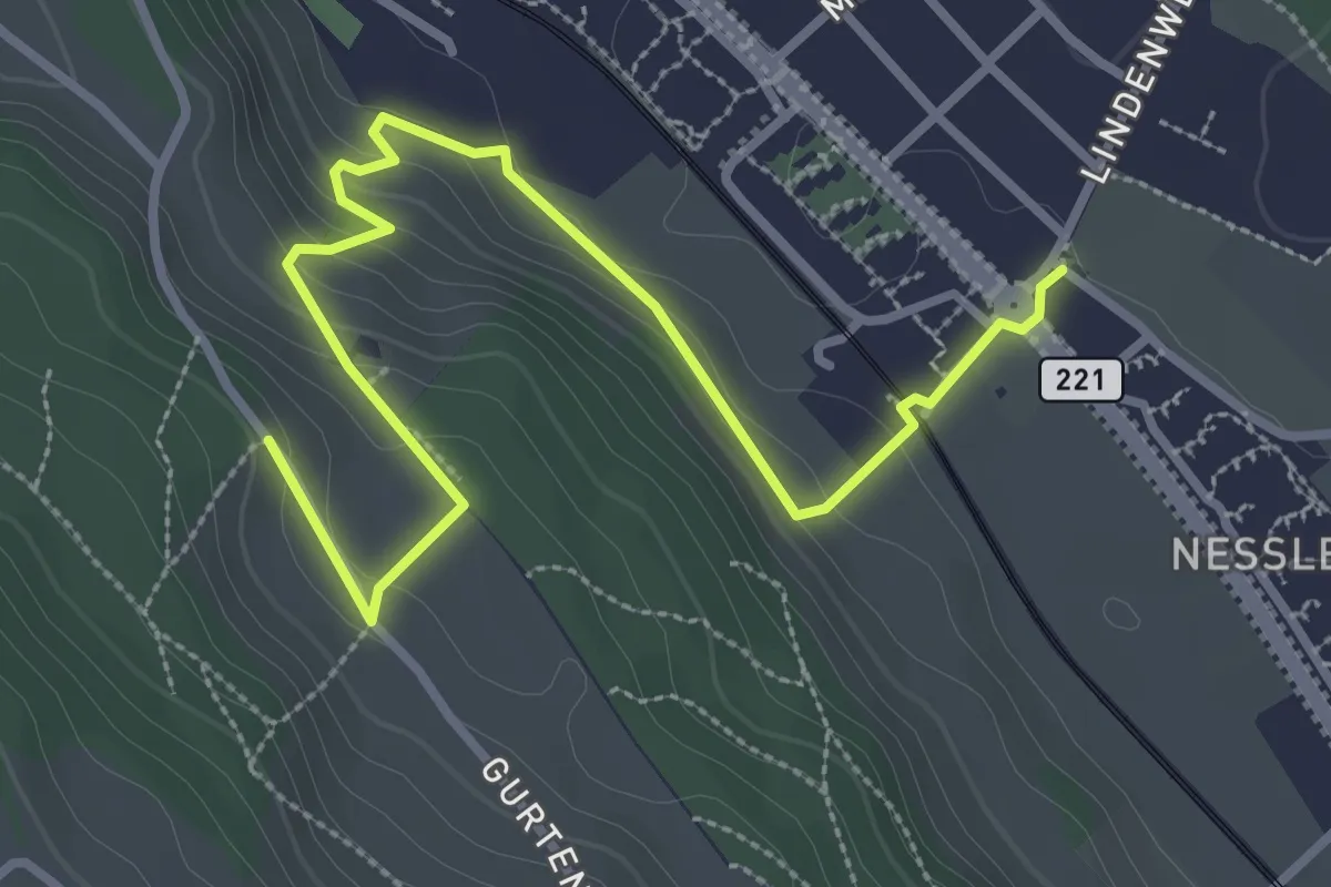
Easy · Trail
Chli-Wabern – Bergweid
3.8 km · ↑ 169 m · 1 h 15 min · 5 km away
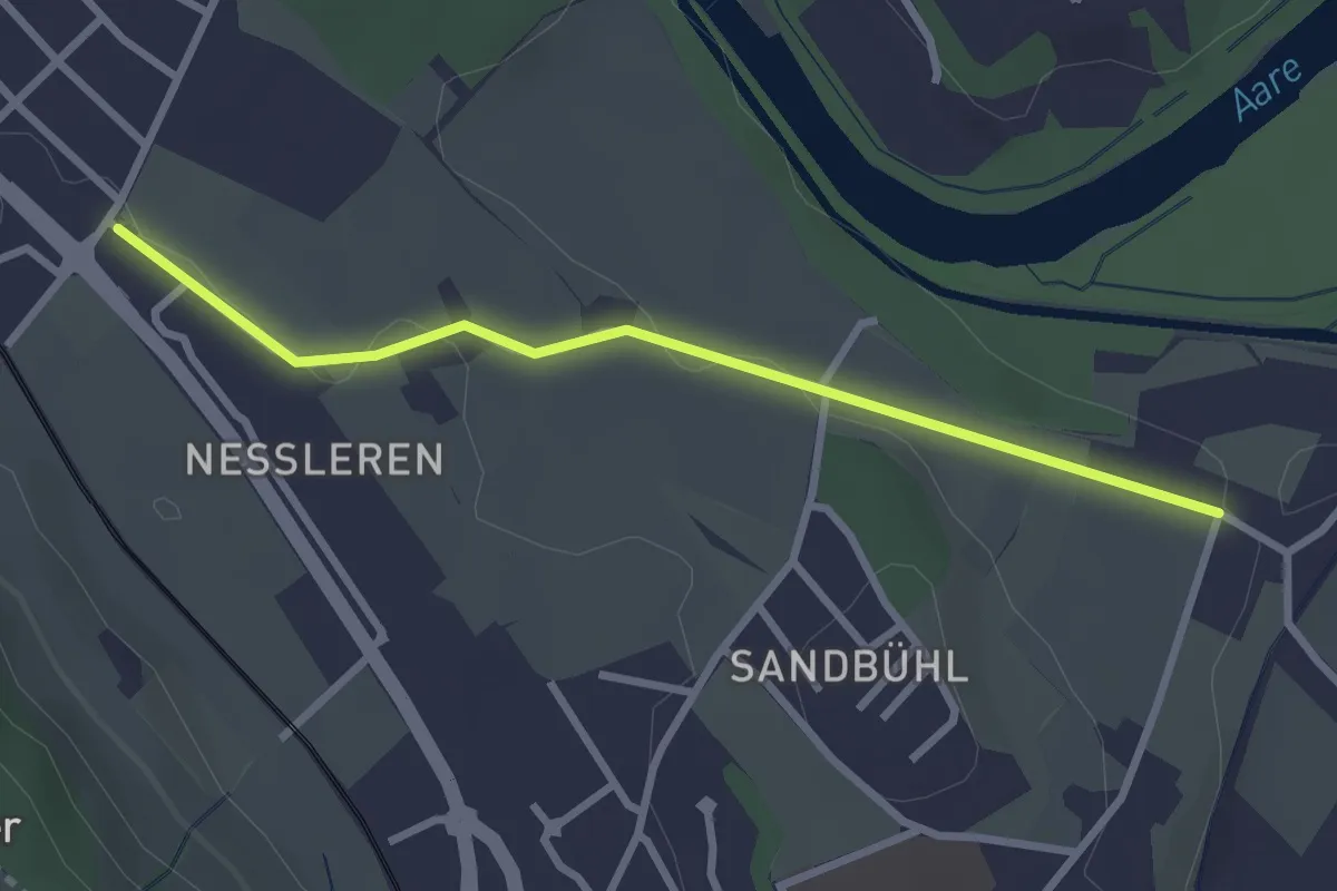
Easy · Trail
Chli Wabern – Unter Selhofen
2.8 km · ↑ 36 m · 44 min · 5 km away
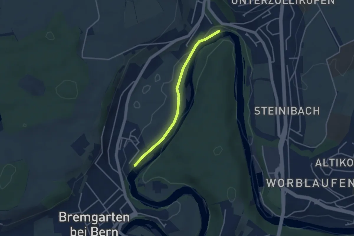
Easy · Trail
Fähre Zehndermätteli – Fähre Reichenbach
2.6 km · ↑ 17 m · 40 min · 5 km away
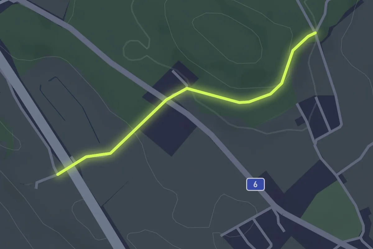
Easy · Trail
Hüenwald – Vorder Märchligen
2.3 km · ↑ 66 m · 41 min · 5 km away
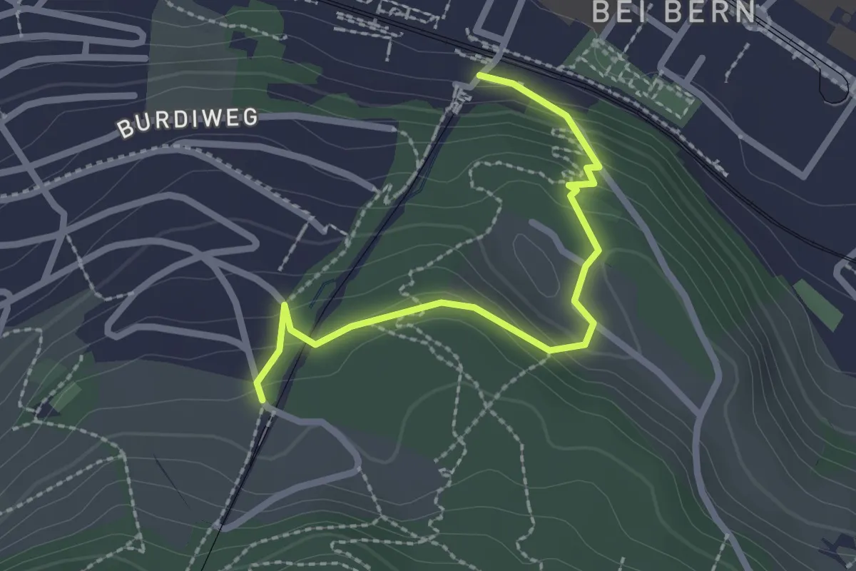
Easy · Trail
Wabern/Gurtenbahn – Grüneboden
2.3 km · ↑ 129 m · 49 min · 5 km away
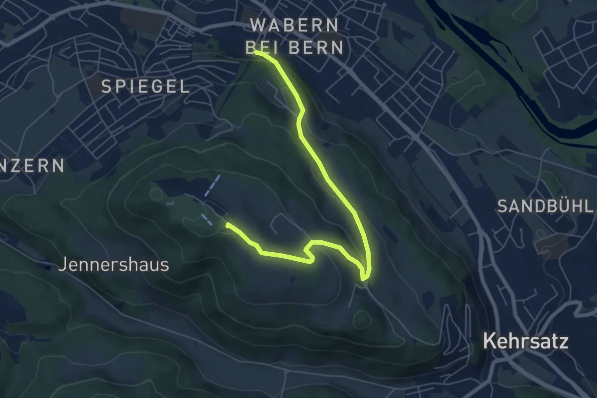
Easy · Summit
Spazierweg
6.4 km · ↑ 268 m · 2 h 5 min · 5 km away
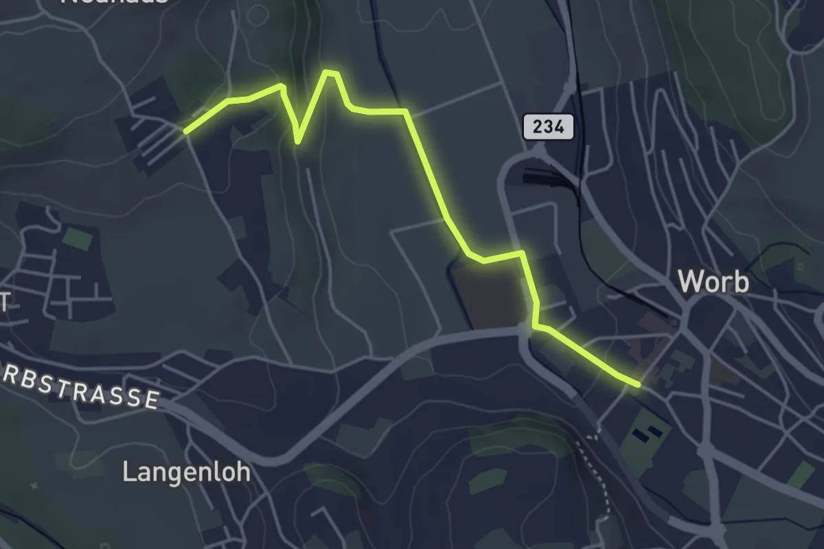
Easy · Trail
Neuhus – Worb Sternen
4.4 km · ↑ 113 m · 1 h 17 min · 5 km away
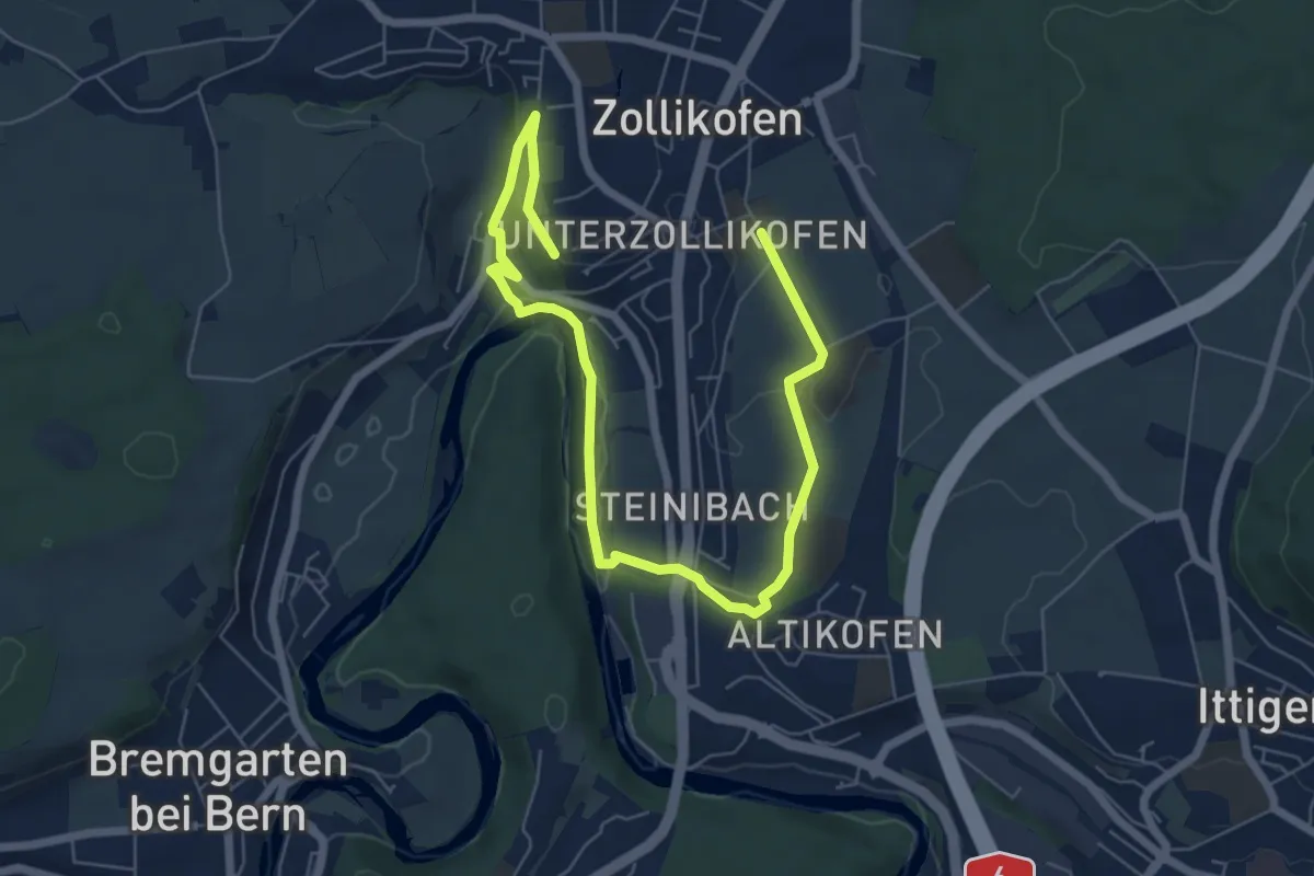
Medium · Trail
Landschaftsweg Zollikofen
8.5 km · ↑ 142 m · 2 h 19 min · 5 km away
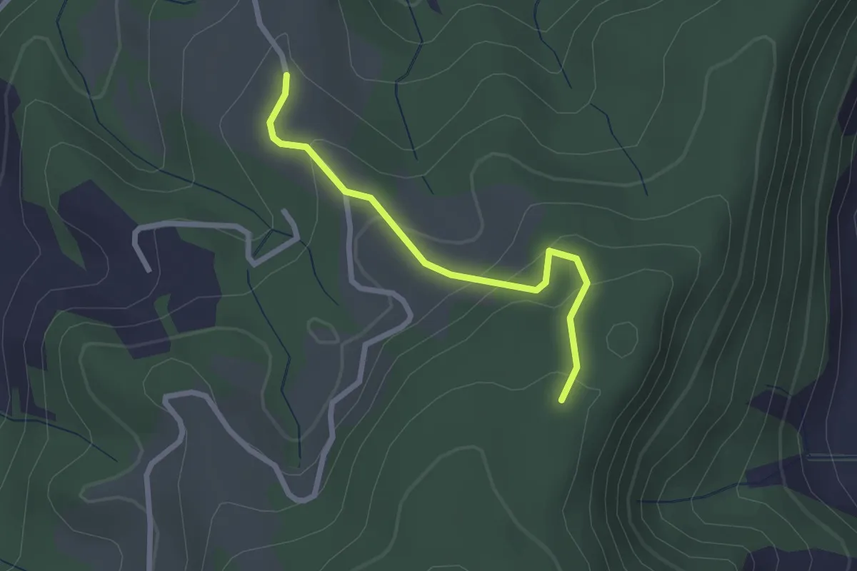
Easy · Trail
Vorder Jucke – Mühlestein
2.1 km · ↑ 142 m · 48 min · 5 km away
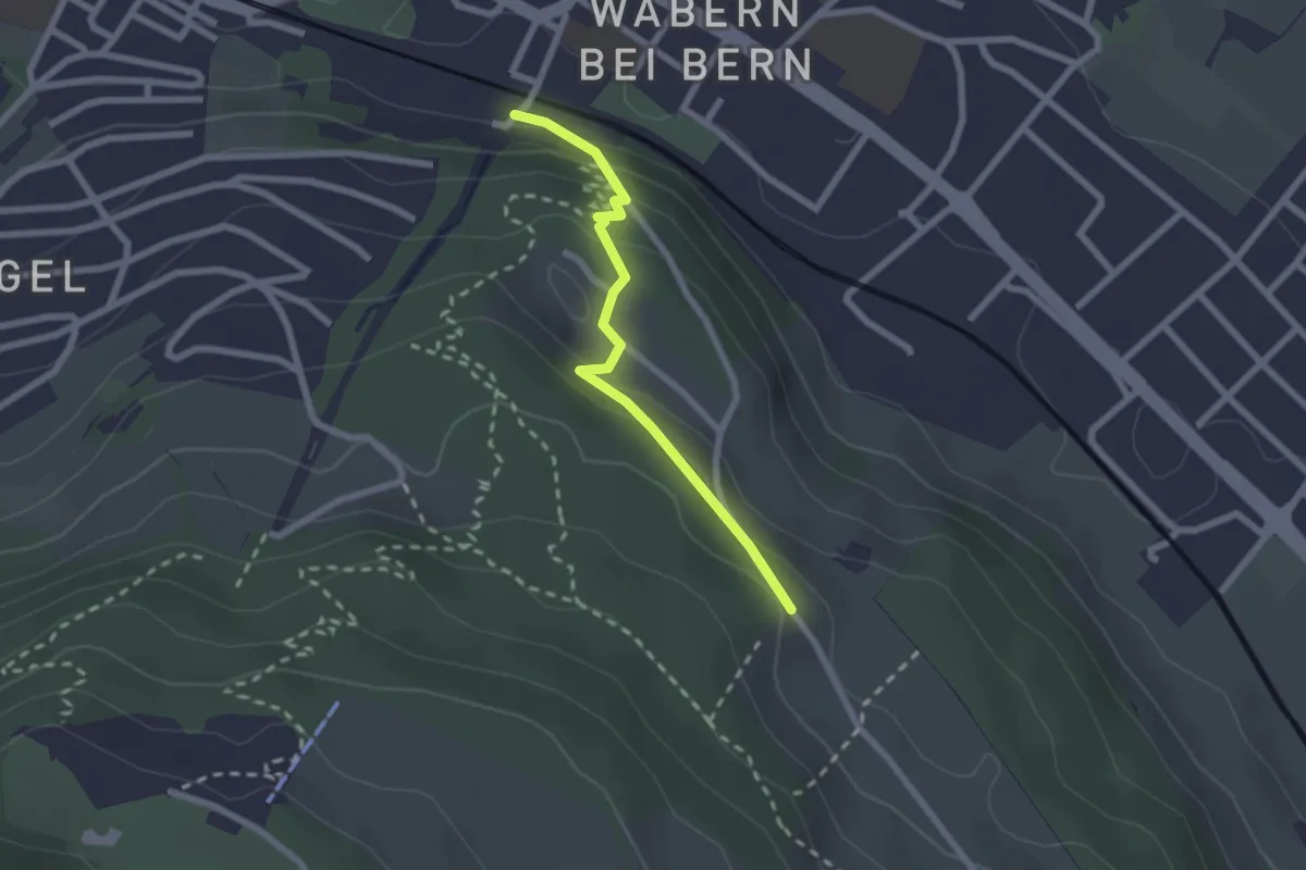
Easy · Trail
Wabern/Gurtenbahn – Bergweid
2.1 km · ↑ 103 m · 43 min · 5 km away
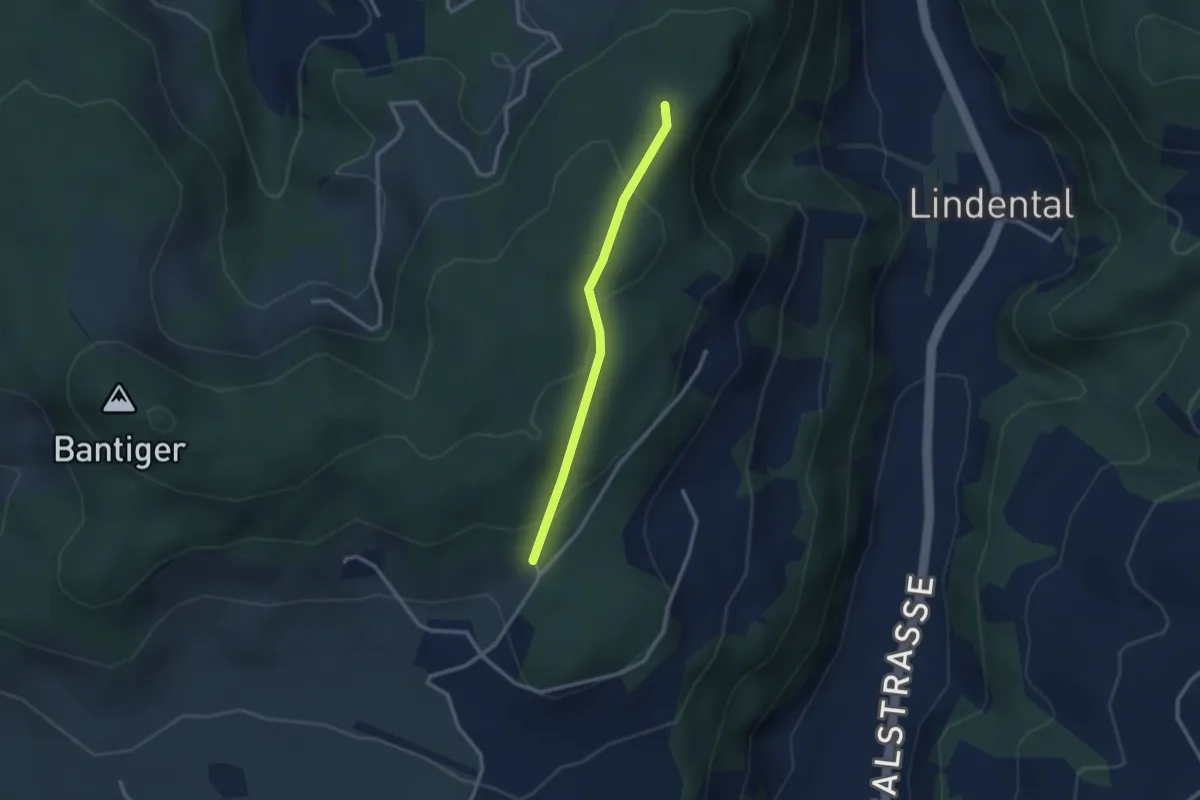
Easy · Trail
Mühlestein – Cholegruebe
2.4 km · ↑ 114 m · 49 min · 5 km away
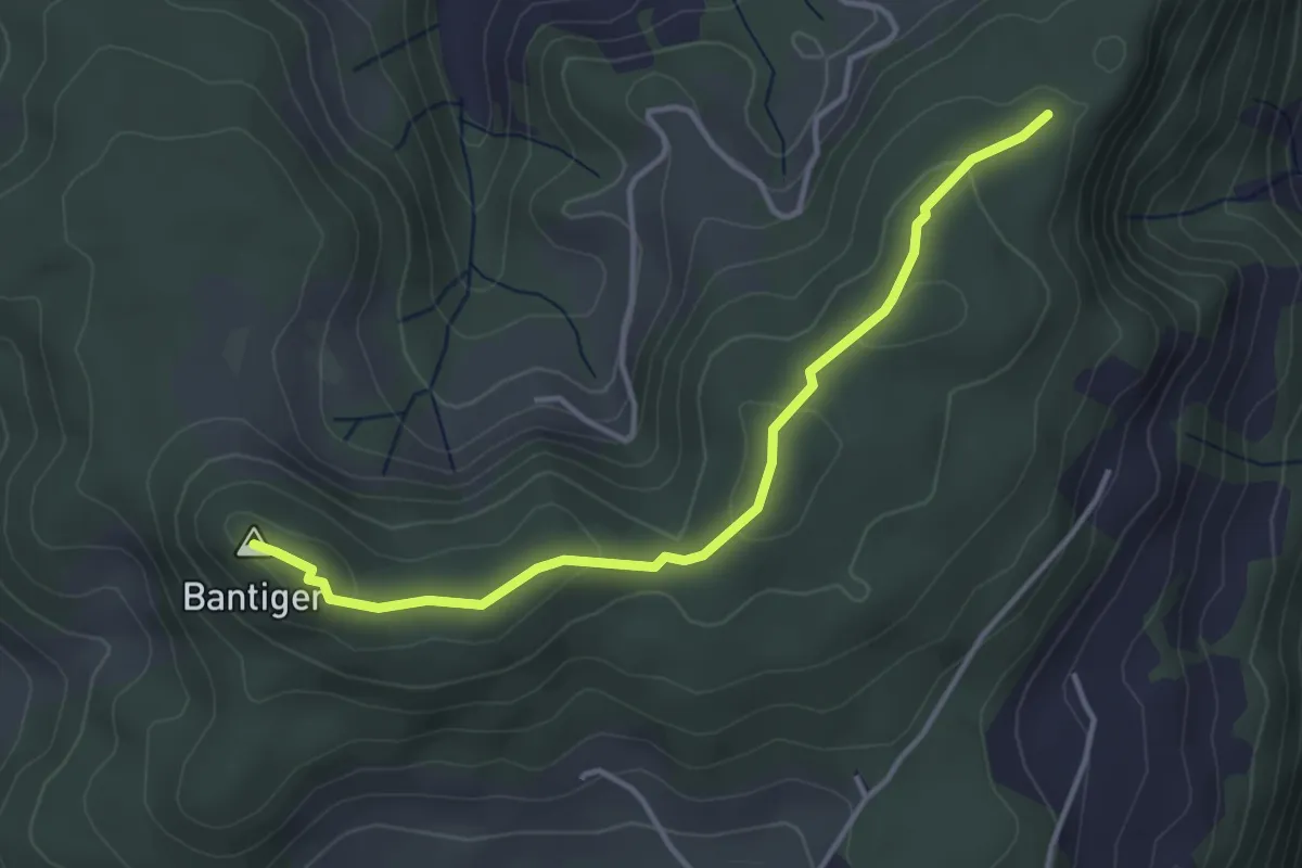
Easy · Summit
Mühlestein – Bantiger
3.7 km · ↑ 89 m · 1 h 4 min · 5 km away
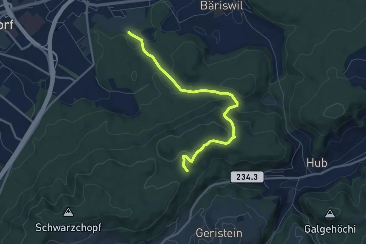
Easy · Trail
Holzmatt – Mattstettenberg
6.9 km · ↑ 277 m · 2 h 14 min · 5 km away
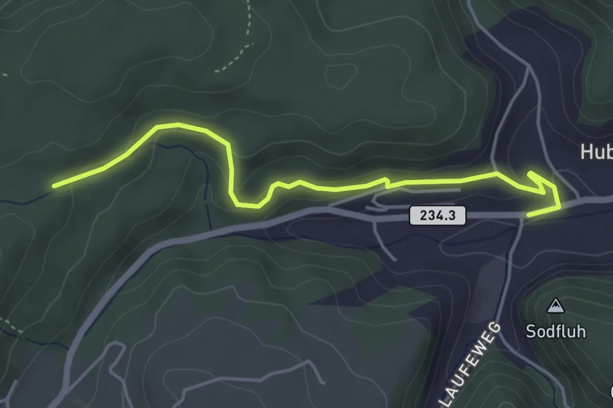
Easy · Trail
Sädelbachhüttli – Hueb
4.2 km · ↑ 167 m · 1 h 22 min · 5 km away
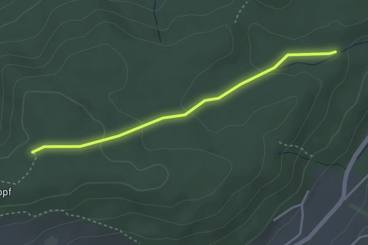
Easy · Trail
Sädelbachhüttli – Bannholz
2.8 km · ↑ 83 m · 50 min · 5 km away
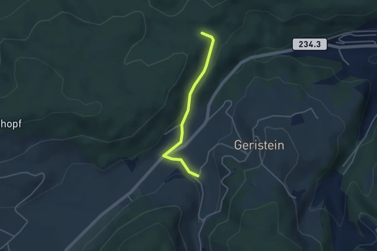
Easy · Trail
Sädelbachhüttli – Lutzere
2.7 km · ↑ 47 m · 44 min · 5 km away
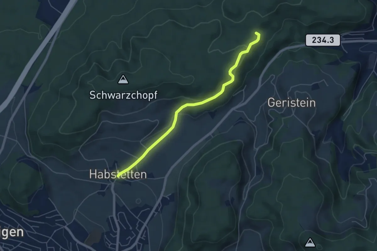
Easy · Trail
Sädelbachhüttli – Habstetten
5.0 km · ↑ 180 m · 1 h 35 min · 5 km away
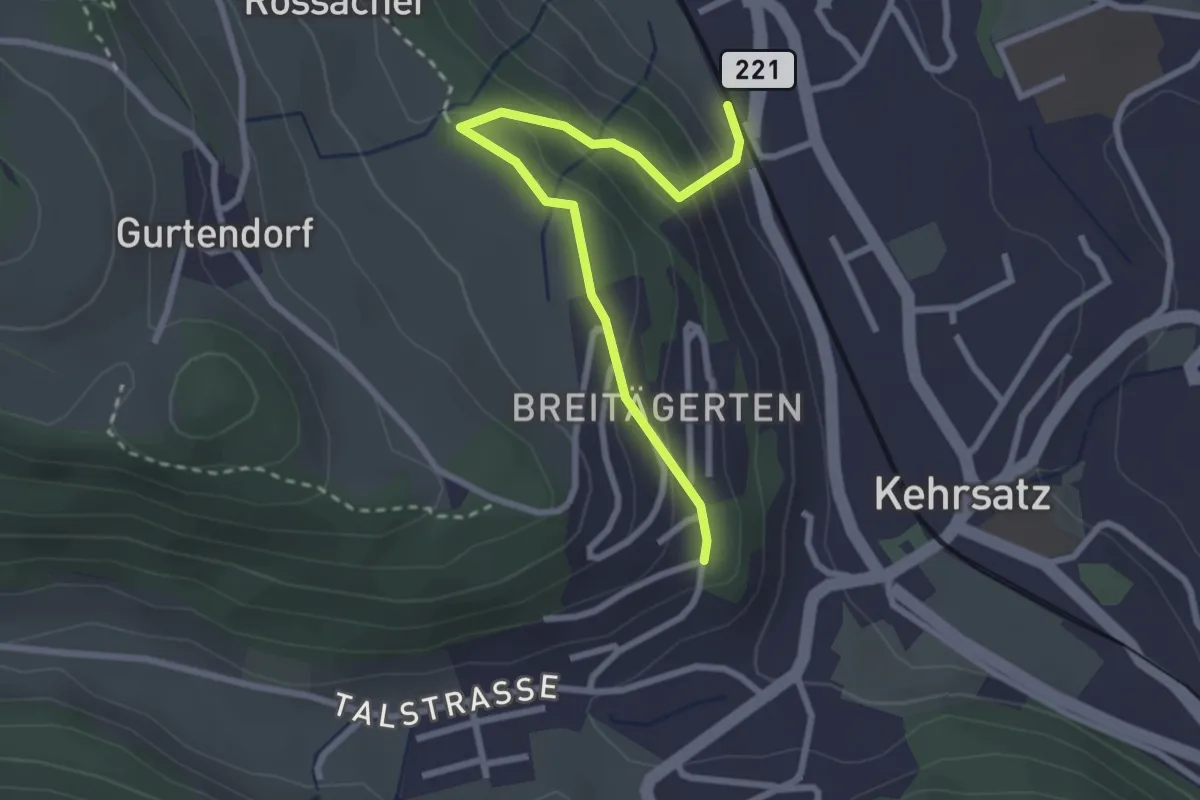
Easy · Trail
Kehrsatz Nord - Breitägerte
2.7 km · ↑ 167 m · 1 h 1 min · 5 km away
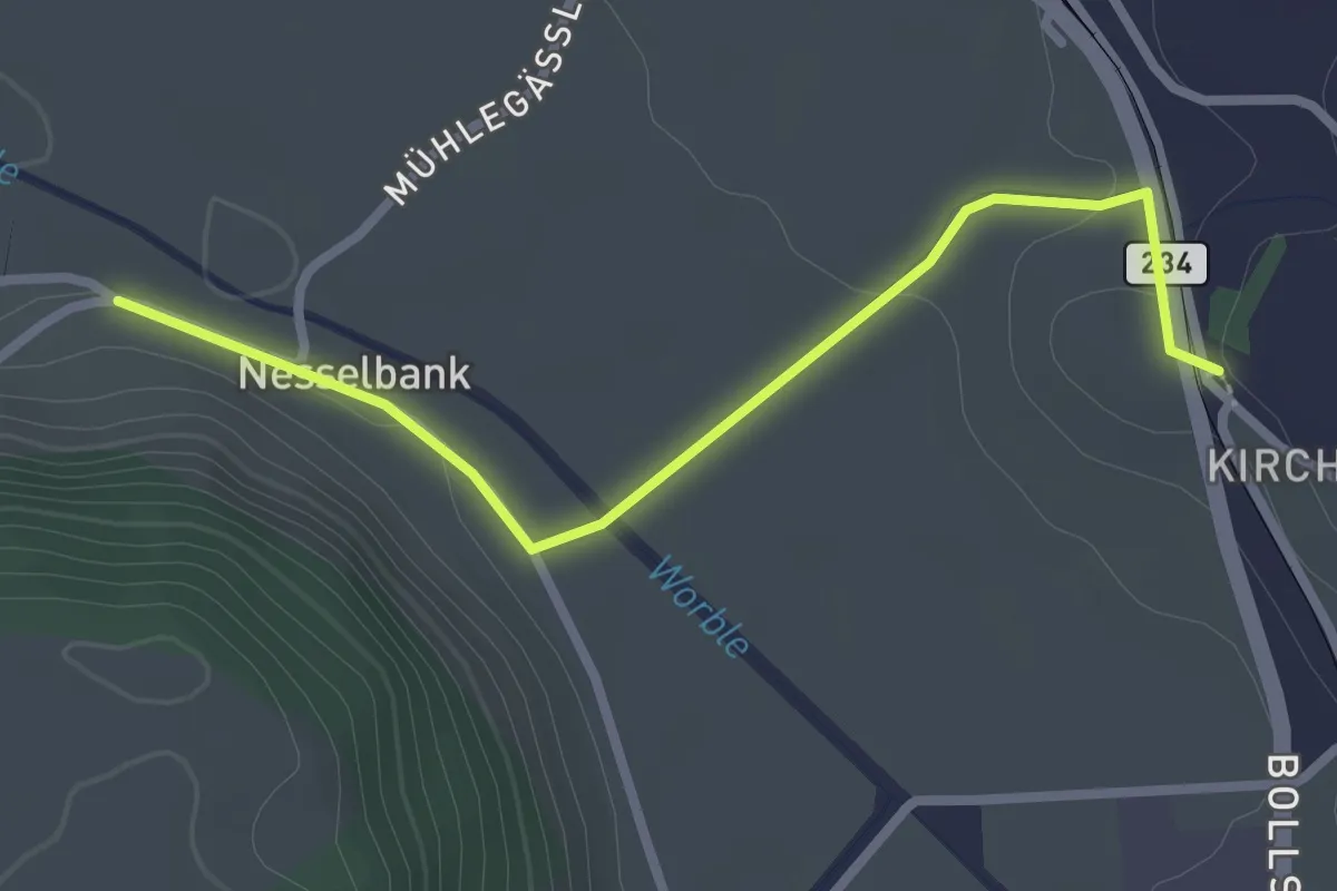
Easy · Trail
Nesselbank - Vechigen Hst.
2.7 km · ↑ 40 m · 43 min · 5 km away
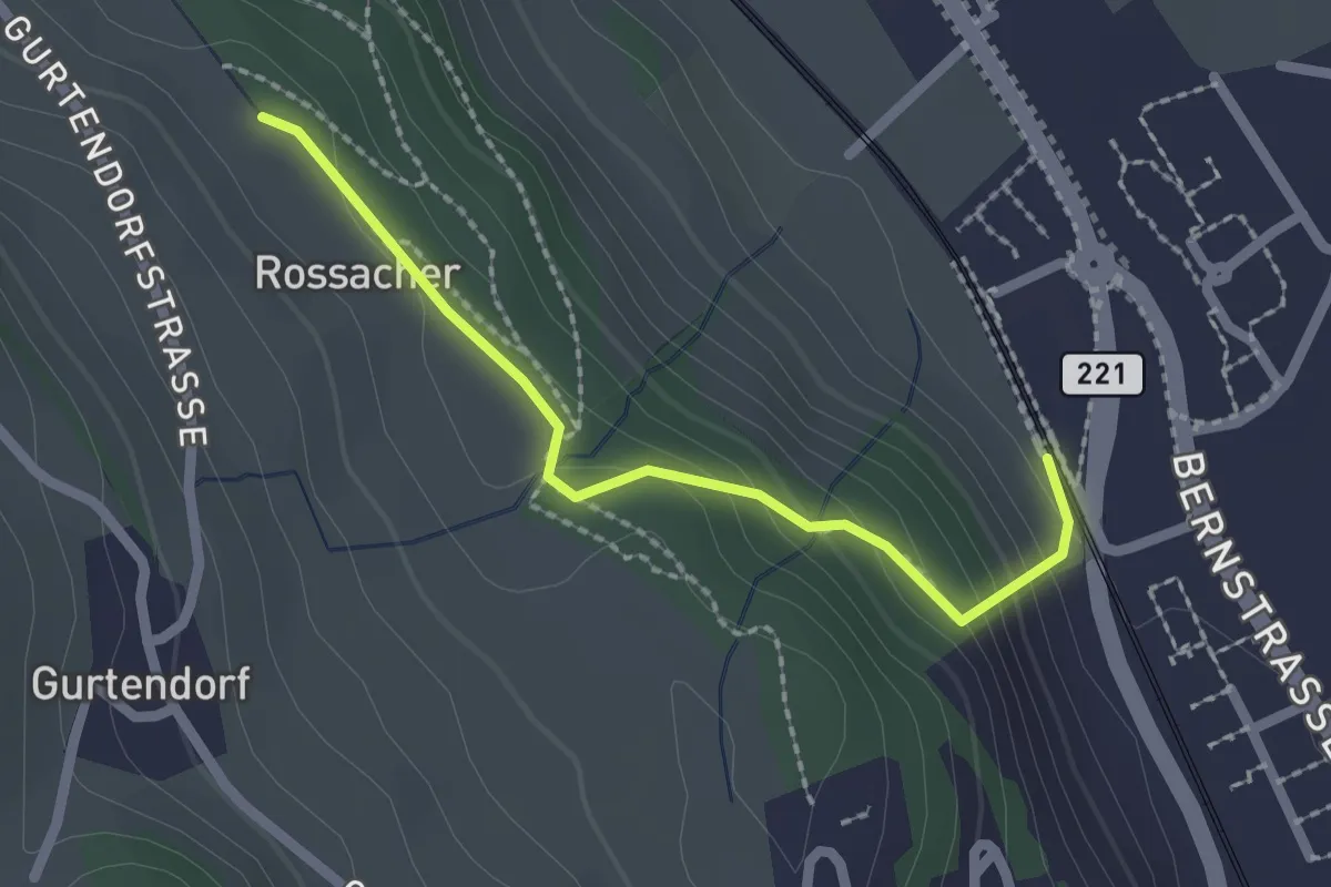
Easy · Trail
Kehrsatz Nord - Rossacker
2.0 km · ↑ 123 m · 45 min · 5 km away
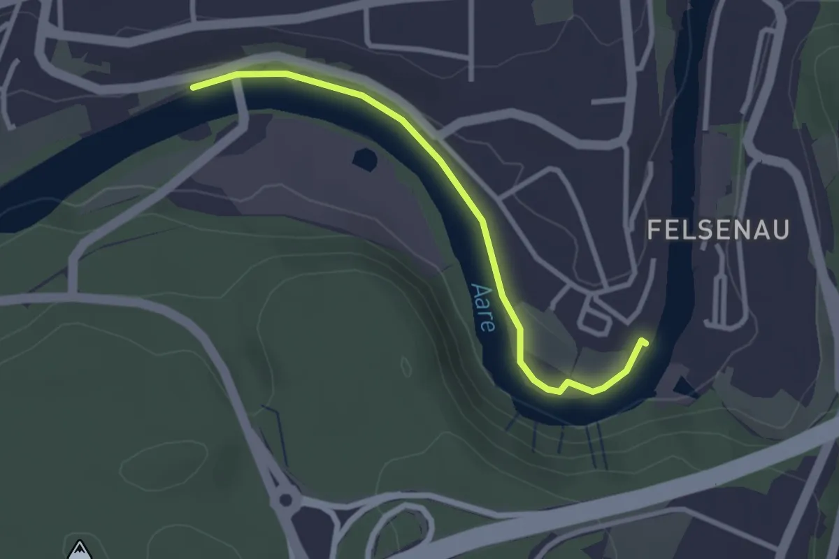
Easy · Trail
Neubrügg – Seftausteg
2.6 km · ↑ 9 m · 38 min · 5 km away
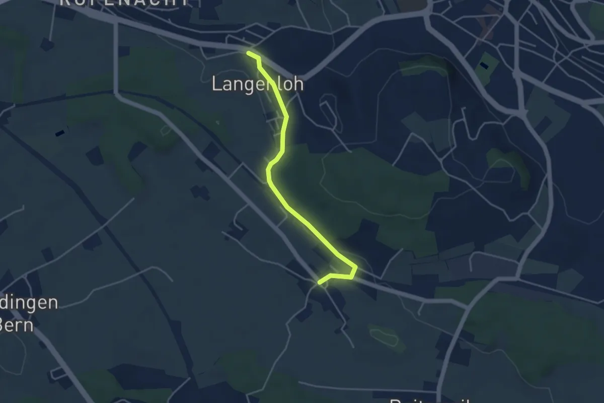
Easy · Trail
Langenloh – Vielbringen
3.7 km · ↑ 53 m · 59 min · 5 km away
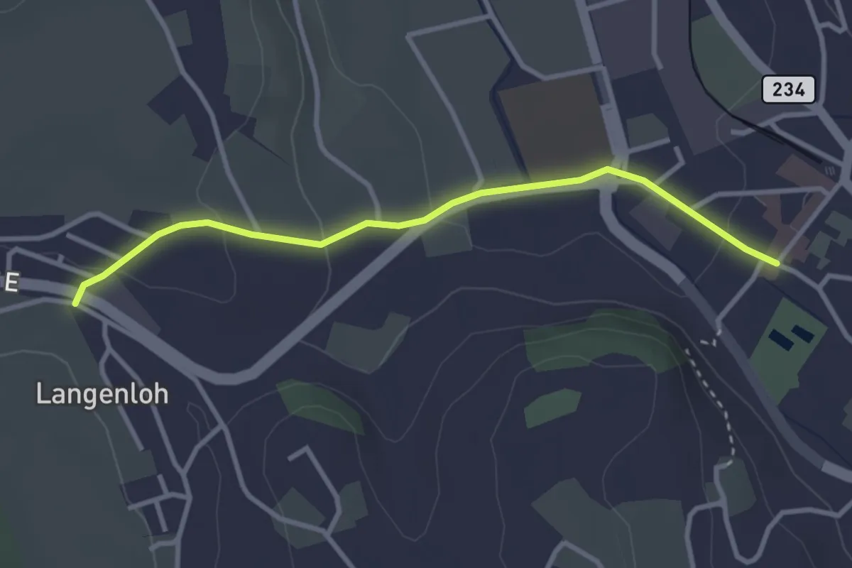
Easy · Trail
Langenloh – Worb Sternen
3.0 km · ↑ 66 m · 52 min · 5 km away
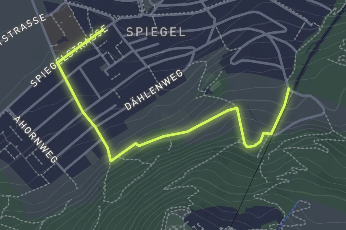
Easy · Trail
Grüenenboden – Spiegel Zentrum
3.1 km · ↑ 154 m · 1 h 4 min · 5 km away
Easy · Trail
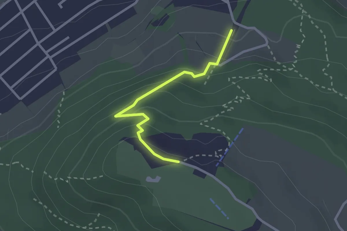
Grünenboden – Gurten Kulm
2.1 km · ↑ 138 m · 47 min · 5 km away
Easy · Trail
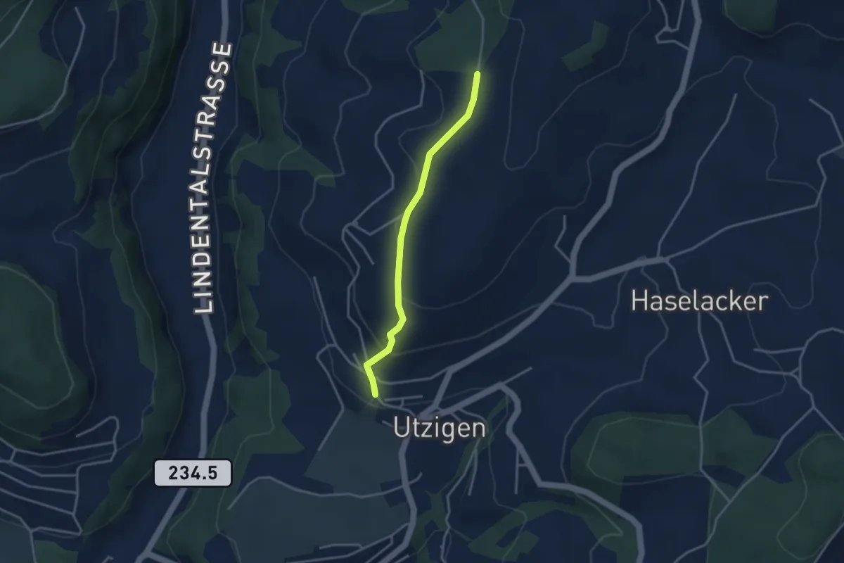
Utzigenwull – Utzigen/Schloss
3.0 km · ↑ 121 m · 58 min · 5 km away
Easy · Trail
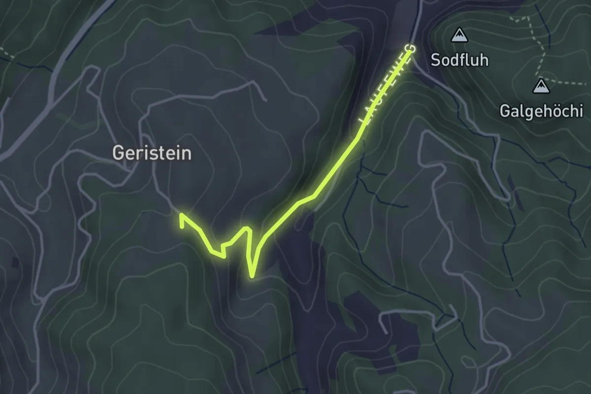
Laufe – Geristein
3.2 km · ↑ 163 m · 1 h 7 min · 5 km away
Easy · Trail
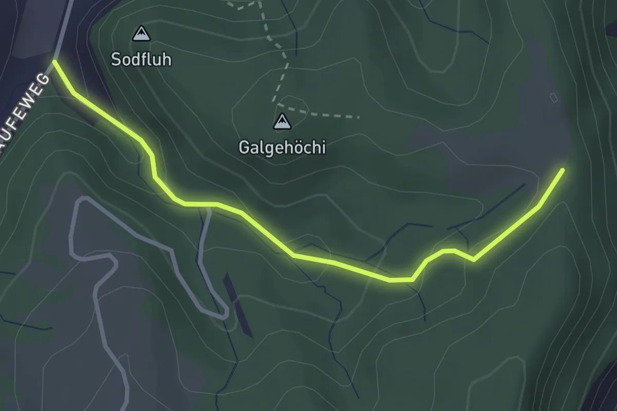
Chlosteralp – Laufe
2.7 km · ↑ 148 m · 58 min · 5 km away