Trails near Ostermundigen
488 hikes starting within 15 km, nearest first.
Nearest first, page 3 of 11
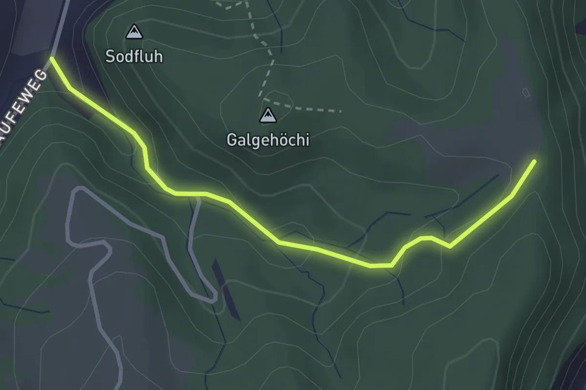
Easy · Trail
Chlosteralp – Laufe
2.7 km · ↑ 148 m · 58 min · 5 km away
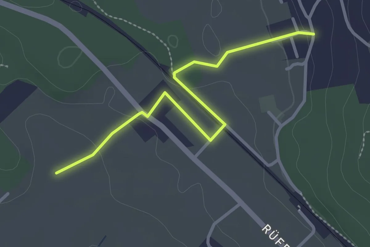
Easy · Trail
Chli Hüenliwald-Murmösli
2.7 km · ↑ 39 m · 43 min · 5 km away
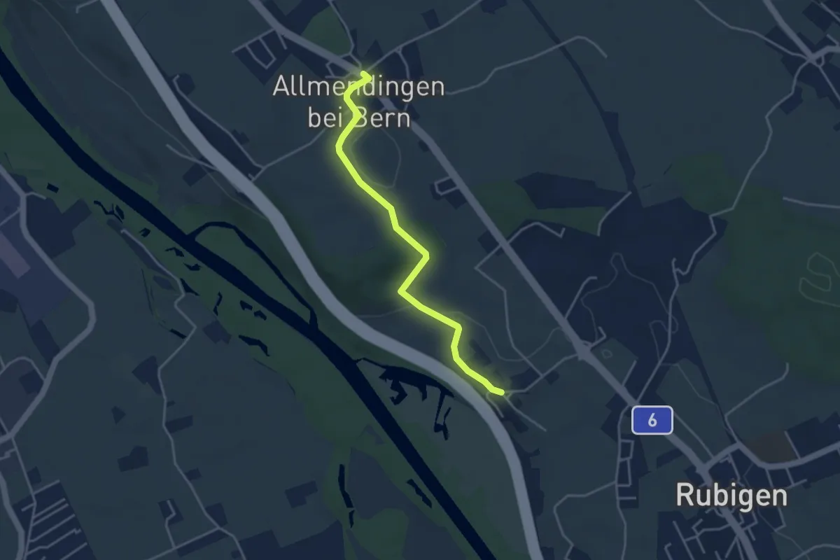
Easy · Trail
Kleinhöchstetten – Allmendingen
3.7 km · ↑ 71 m · 1 h 2 min · 5 km away
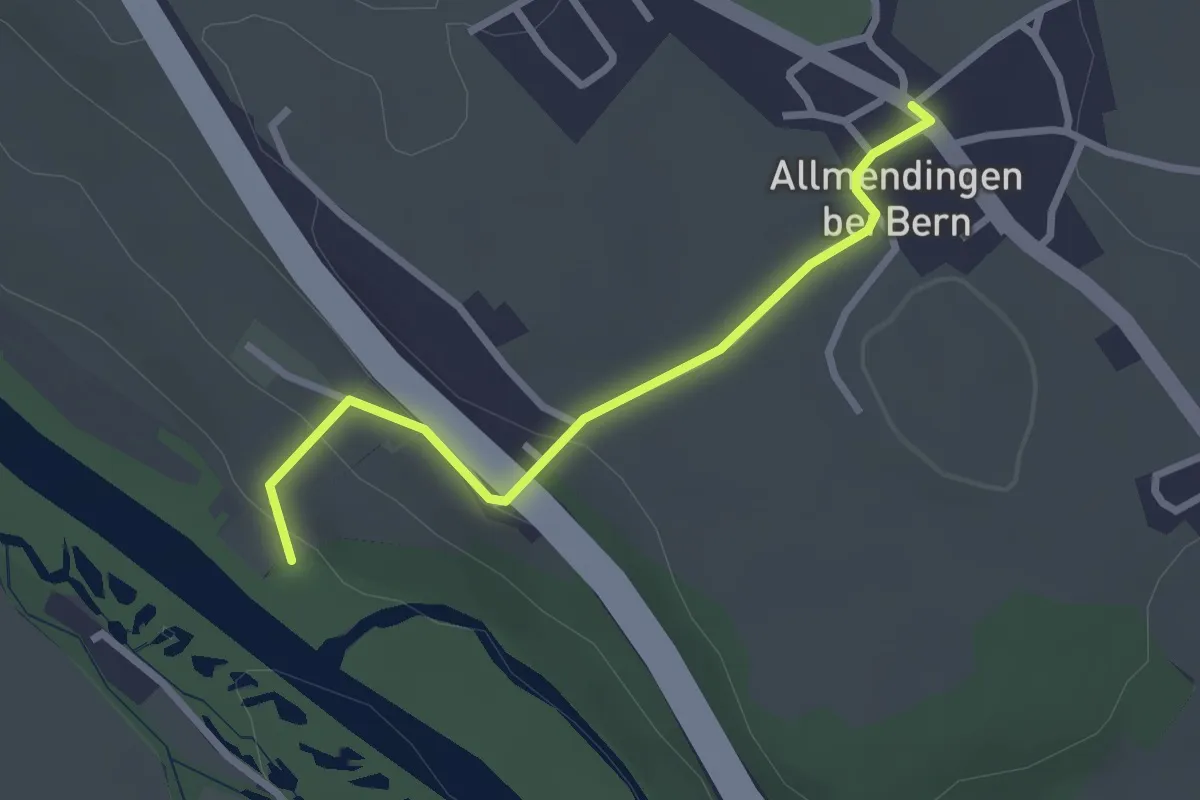
Easy · Trail
Märchligenau-Allmendingen
2.5 km · ↑ 63 m · 44 min · 5 km away
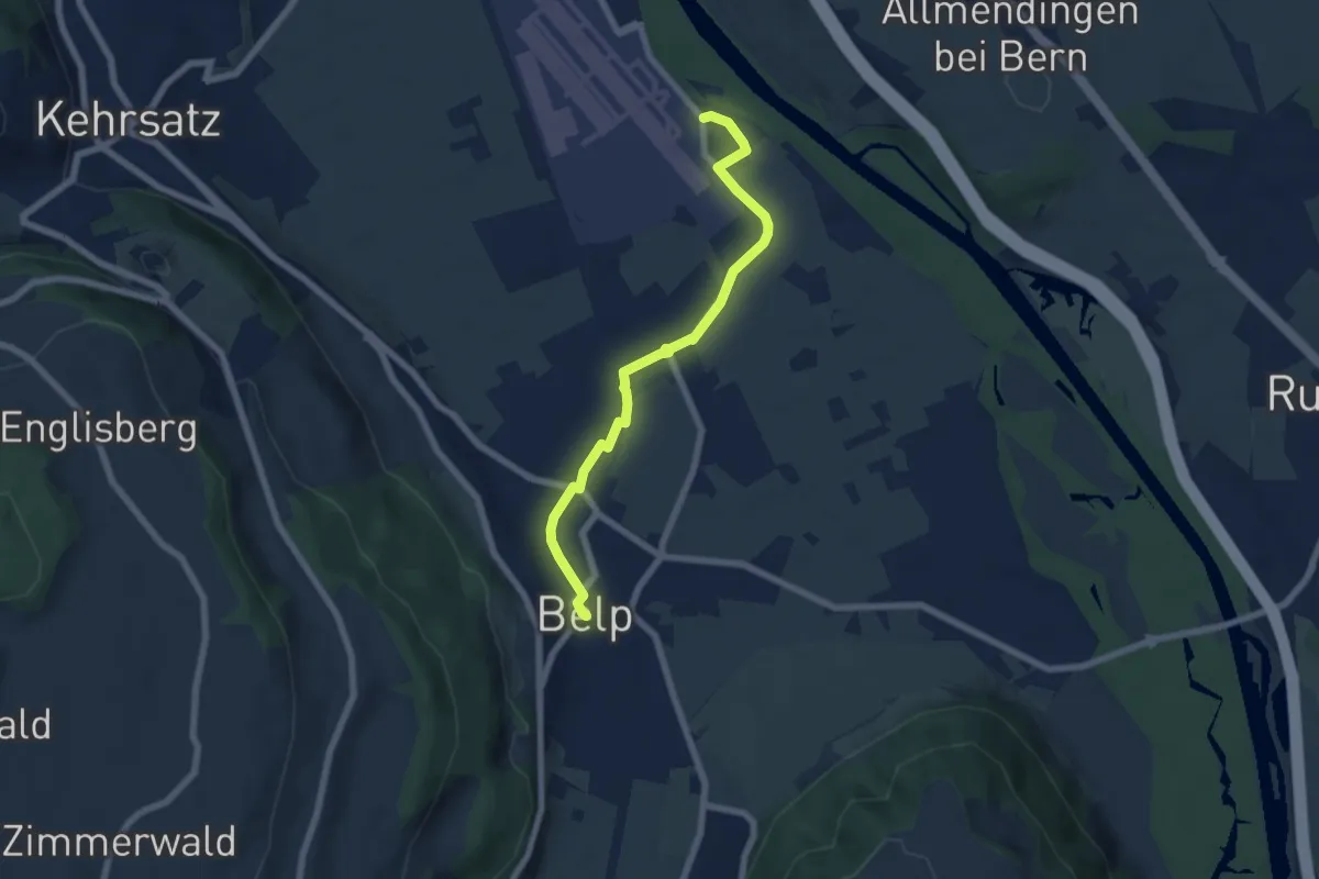
Easy · Trail
Belp – Flugplatz Bern Belp
6.4 km · ↑ 9 m · 1 h 32 min · 5 km away
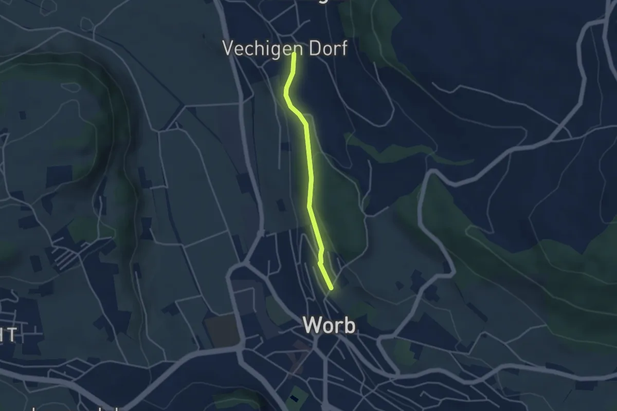
Easy · Trail
Vechingen - Egghalde
3.0 km · ↑ 77 m · 53 min · 6 km away
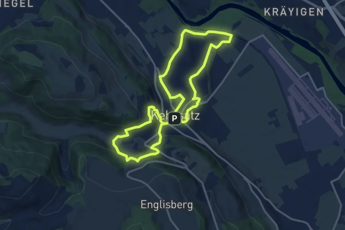
Medium · Trail
Kehrsatzer Rundweg
8.3 km · ↑ 288 m · 2 h 42 min · 6 km away
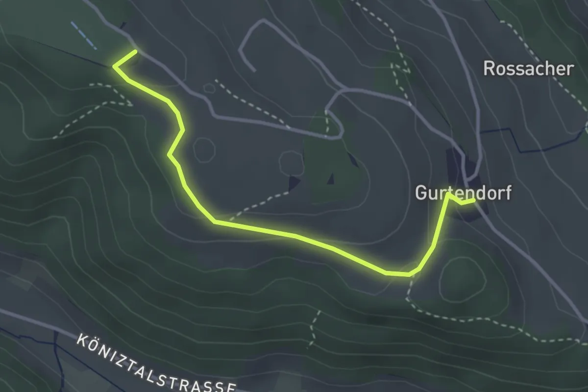
Easy · Summit
Gurten/Ostsignal – Gurtendorf
3.2 km · ↑ 99 m · 58 min · 6 km away
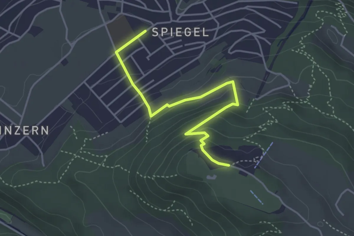
Easy · Trail
Spiegel Zentrum – Gurten Kulm
4.0 km · ↑ 214 m · 1 h 25 min · 6 km away
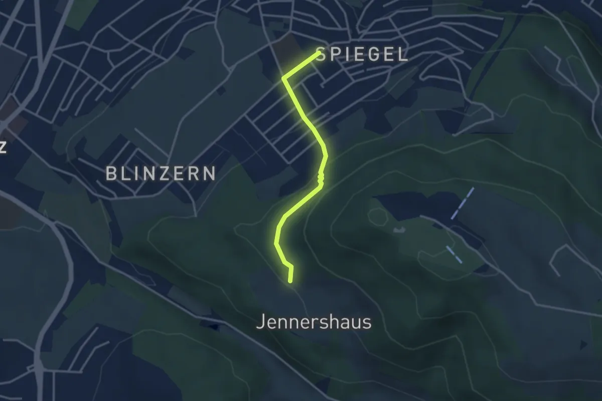
Easy · Trail
Jennerhus - Spiegel Zentrum
2.6 km · ↑ 112 m · 52 min · 6 km away
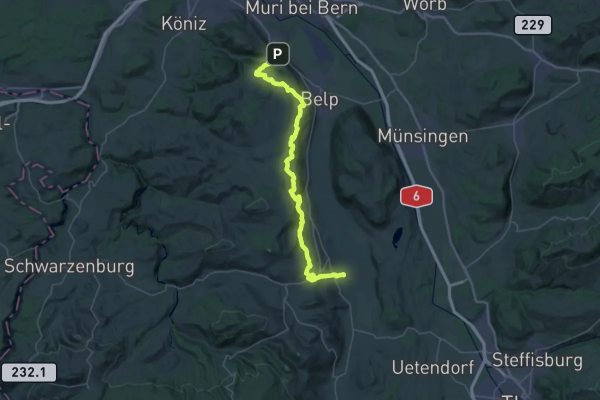
Demanding · Trail
Gürbetaler Höhenweg
18.2 km · ↑ 707 m · 6 h 6 min · 6 km away
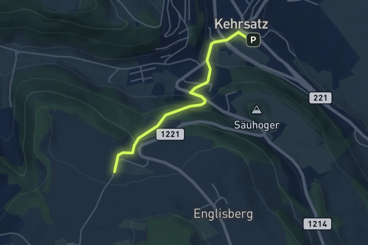
Easy · Trail
Breitägerte - Wohnheim Kühlewil
3.7 km · ↑ 218 m · 1 h 21 min · 6 km away
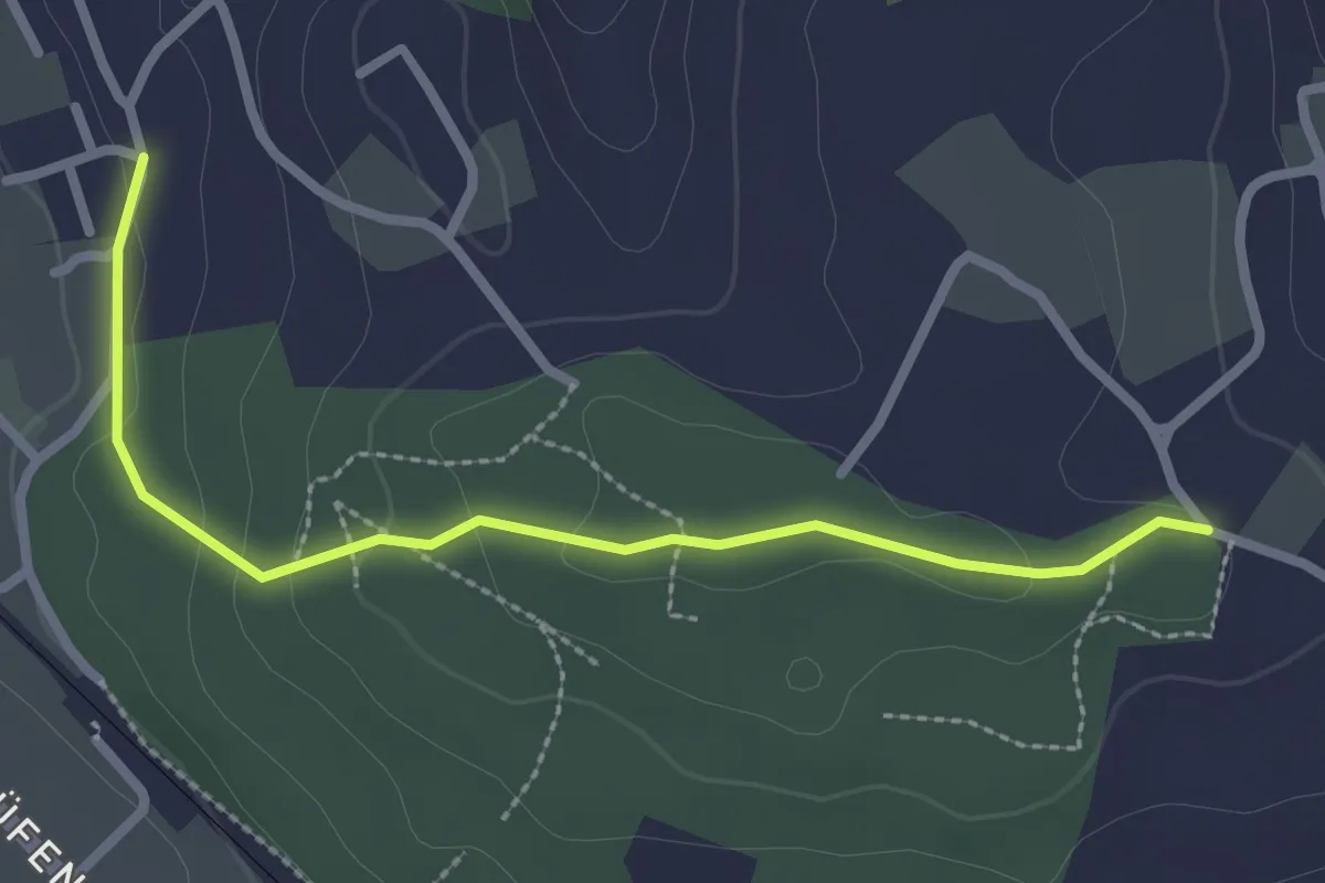
Easy · Trail
Langenloh-Wislen
2.6 km · ↑ 70 m · 46 min · 6 km away
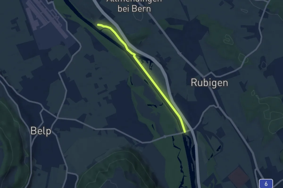
Easy · Trail
Märchligenau - Hunzigebrügg
5.9 km · ↑ 32 m · 1 h 28 min · 6 km away
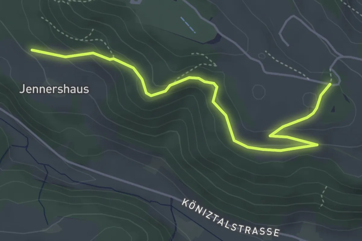
Easy · Trail
Jennershus – Studholz
4.7 km · ↑ 167 m · 1 h 29 min · 6 km away
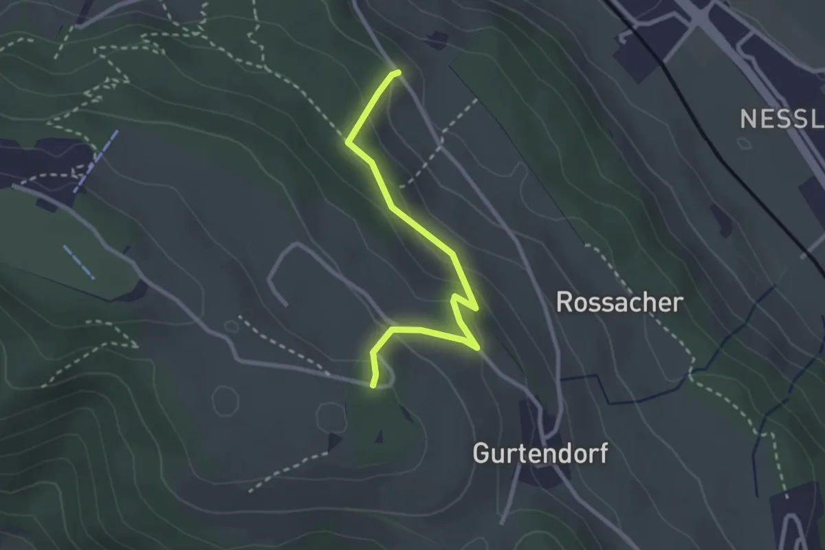
Easy · Trail
Bergweid – Studholz
2.5 km · ↑ 156 m · 56 min · 6 km away
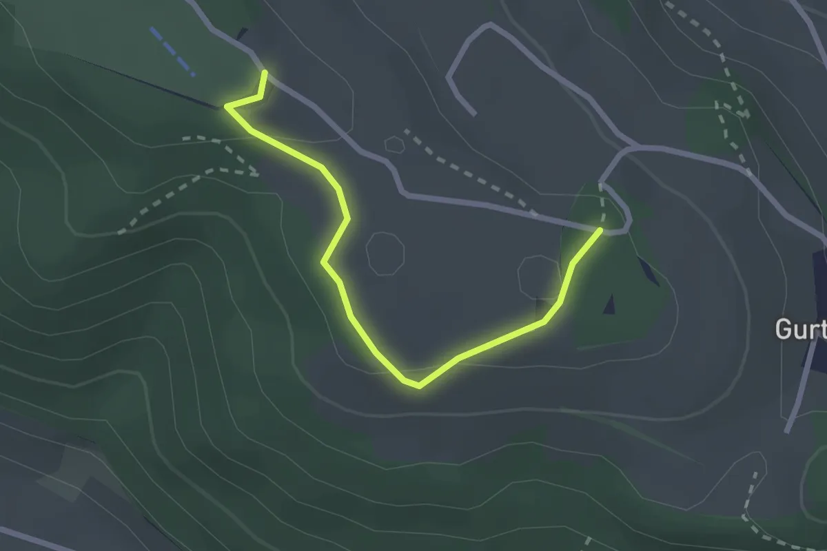
Easy · Summit
Studholz – Gurten/Ostsignal
2.3 km · ↑ 58 m · 39 min · 6 km away
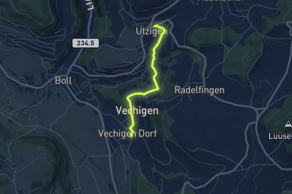
Easy · Trail
Utzigen – Vechigen
4.6 km · ↑ 145 m · 1 h 24 min · 6 km away
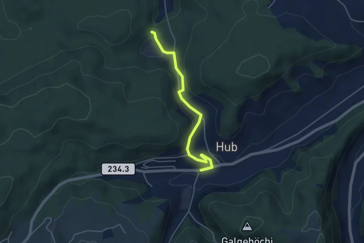
Easy · Trail
Wannetal – Hueb
3.5 km · ↑ 169 m · 1 h 11 min · 6 km away
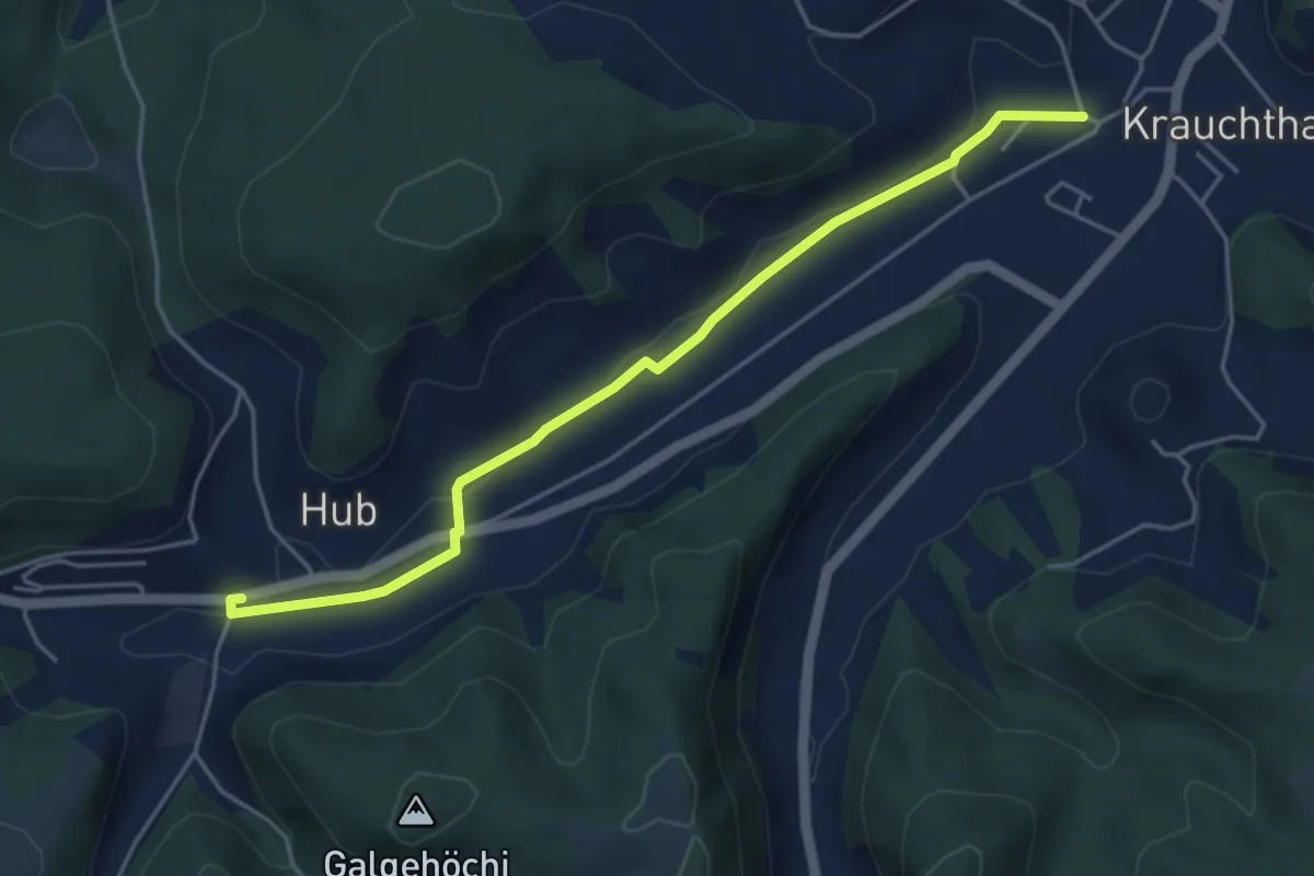
Easy · Trail
Sandhole – Hueb
4.7 km · ↑ 50 m · 1 h 14 min · 6 km away
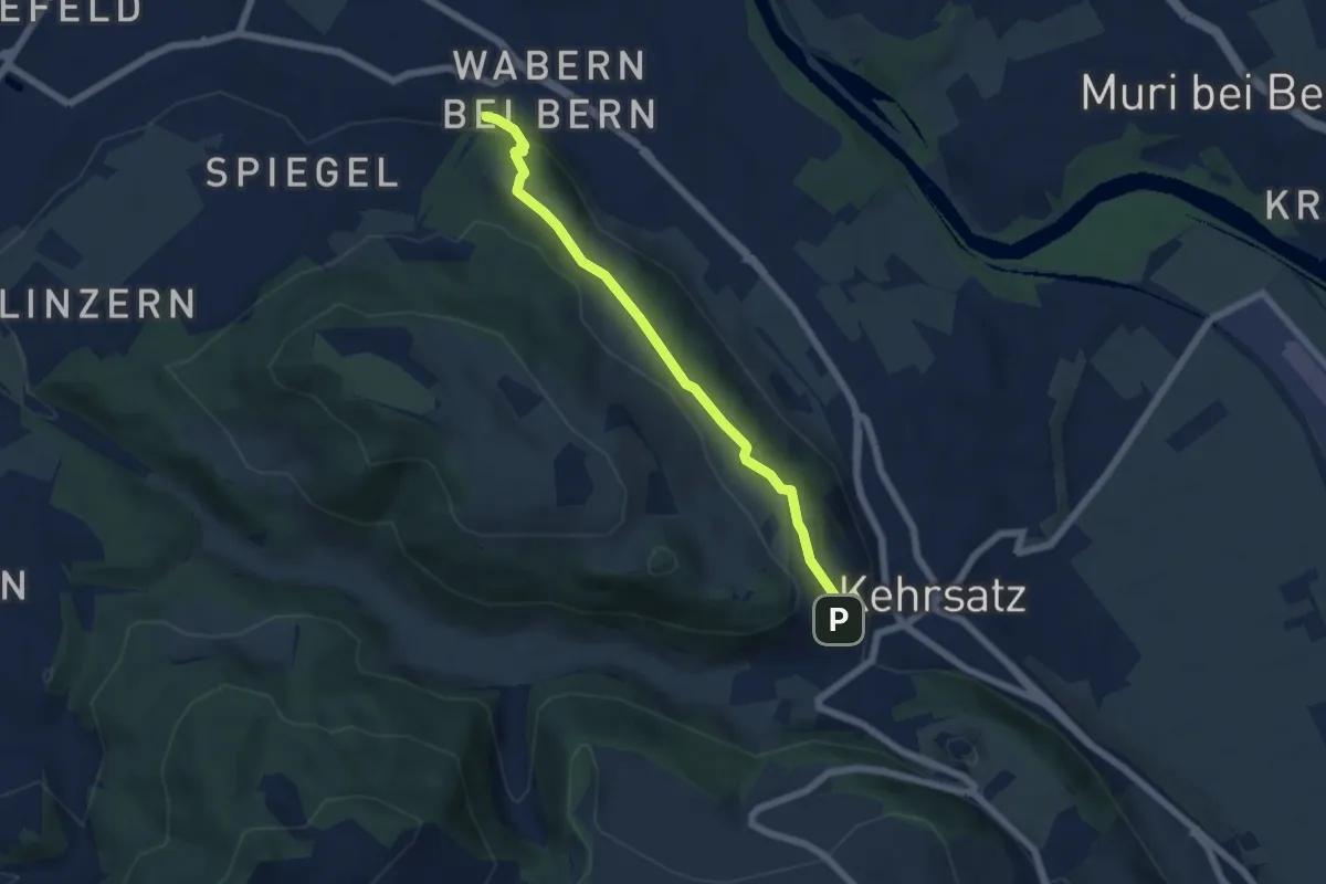
Easy · Trail
Wabern/Gurtenbahn – Breitägerte
5.6 km · ↑ 158 m · 1 h 40 min · 6 km away
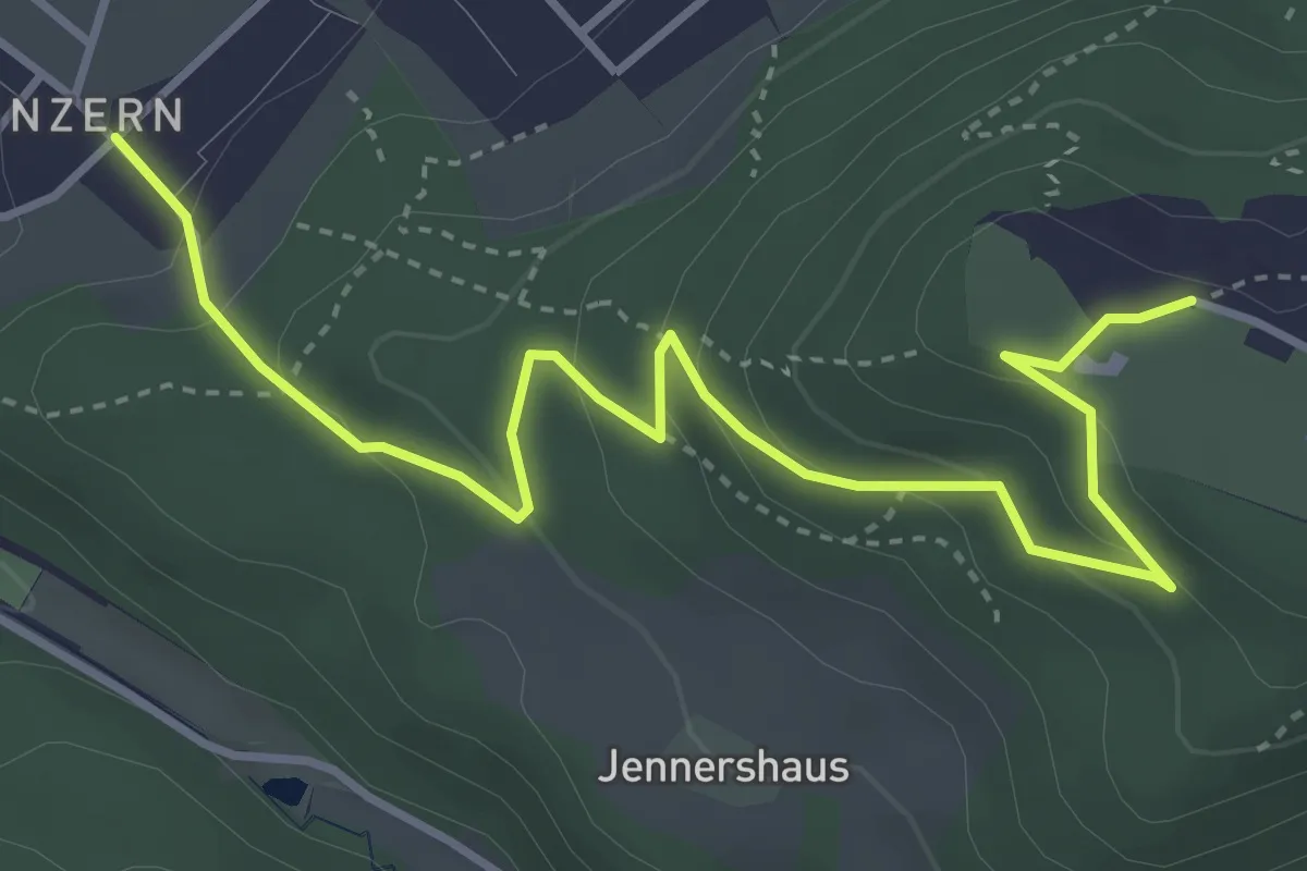
Easy · Trail
Blinzern – Gurten Kulm
4.5 km · ↑ 233 m · 1 h 34 min · 6 km away
Easy · Trail
Grauholzdenkmal – Forsthus
5.6 km · ↑ 122 m · 1 h 36 min · 6 km away
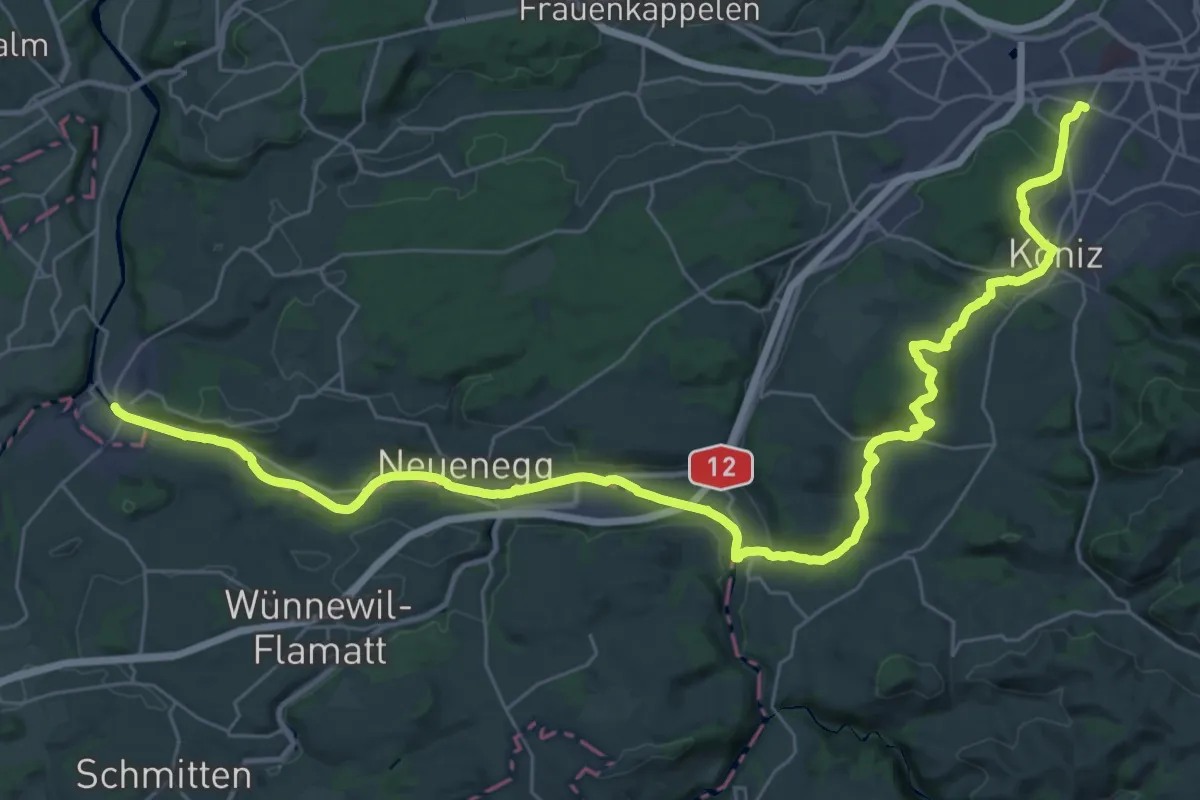
Demanding · Trail
Trans Swiss Trail
21.7 km · ↑ 317 m · 6 h 9 min · 6 km away
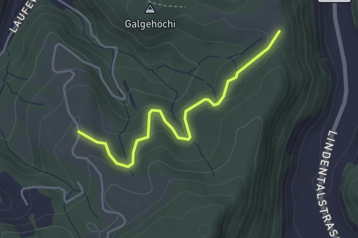
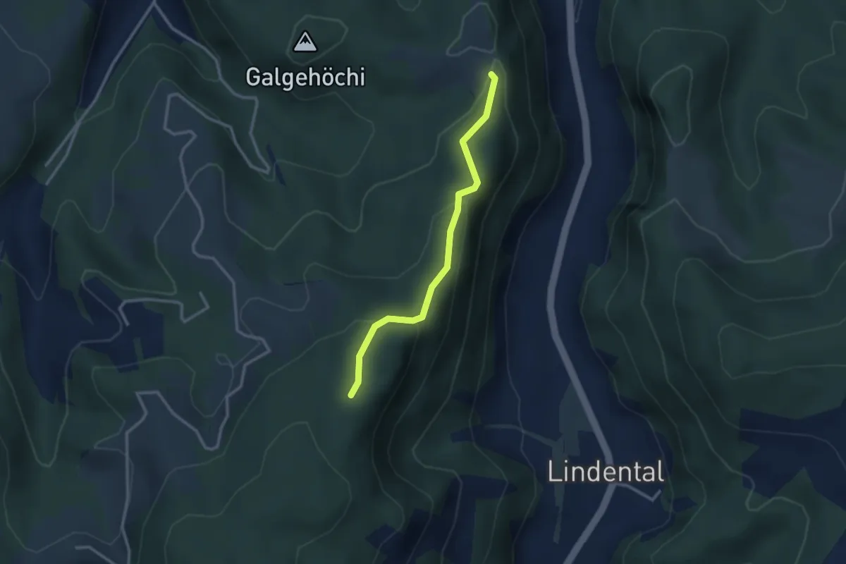
Easy · Trail
Chlosteralp – Vorder Jucke
3.2 km · ↑ 193 m · 1 h 11 min · 6 km away
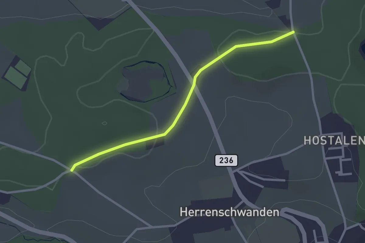
Easy · Trail
Chlosteralp – Mühlestein
2.6 km · ↑ 138 m · 54 min · 6 km away
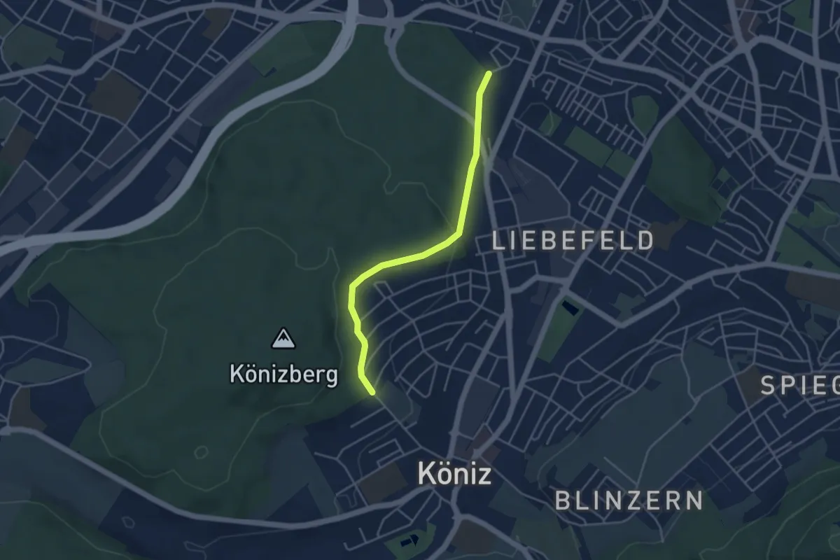
Easy · Trail
Burrishus – Lörwald
2.4 km · ↑ 34 m · 39 min · 6 km away
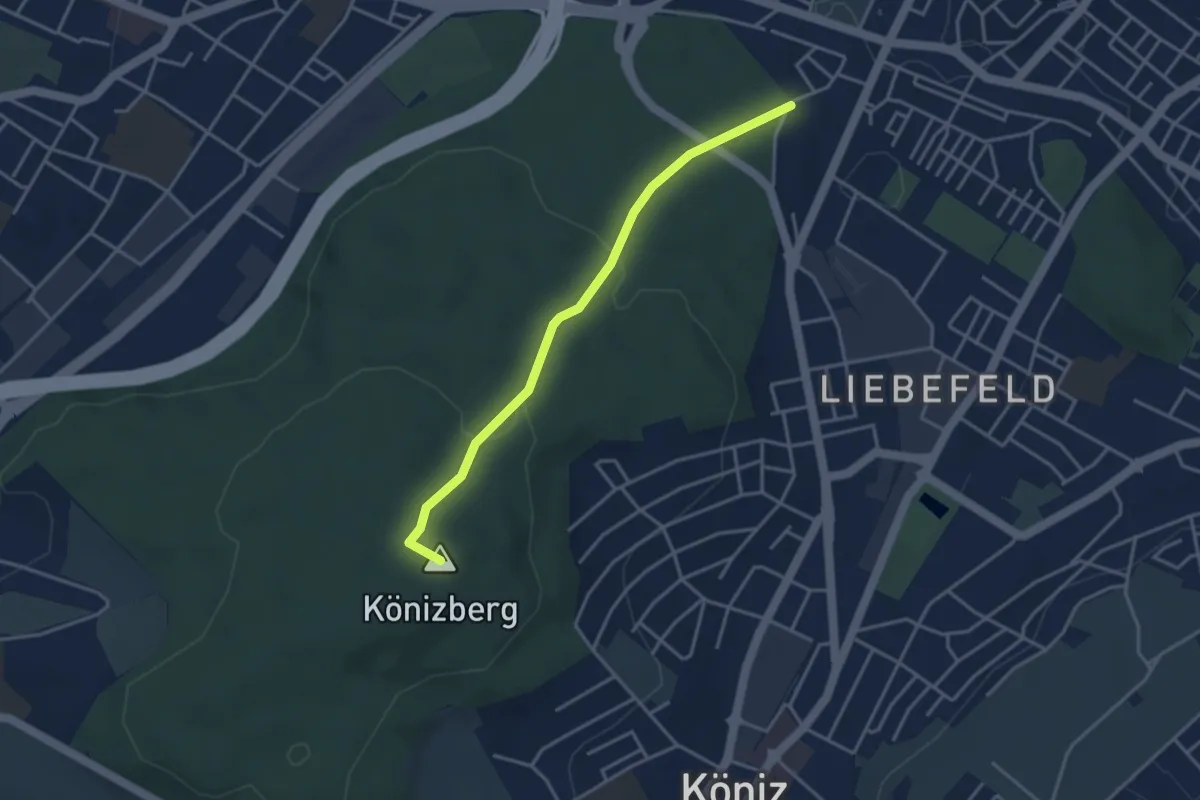
Easy · Trail
Köniz/Ober Buchsee - Fischermätteli
3.8 km · ↑ 89 m · 1 h 5 min · 6 km away
Easy · Summit
Fischermätteli - Könizberg/Stärn
3.5 km · ↑ 126 m · 1 h 7 min · 6 km away
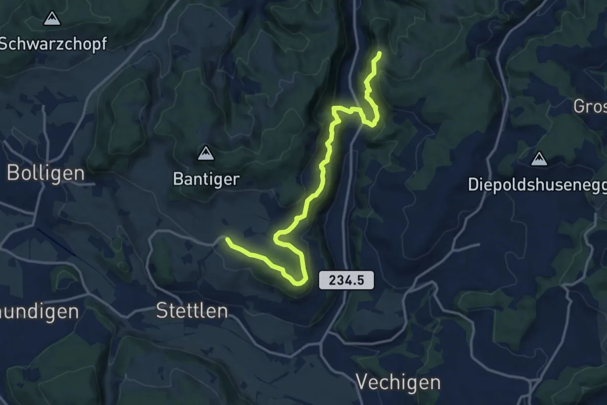
Medium · Trail
Vordere Geisme – Ferenberg
12.7 km · ↑ 592 m · 4 h 17 min · 6 km away
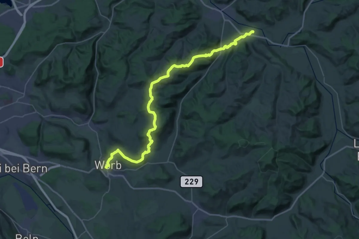
Medium · Trail
Trans Swiss Trail
17.7 km · ↑ 623 m · 5 h 47 min · 6 km away
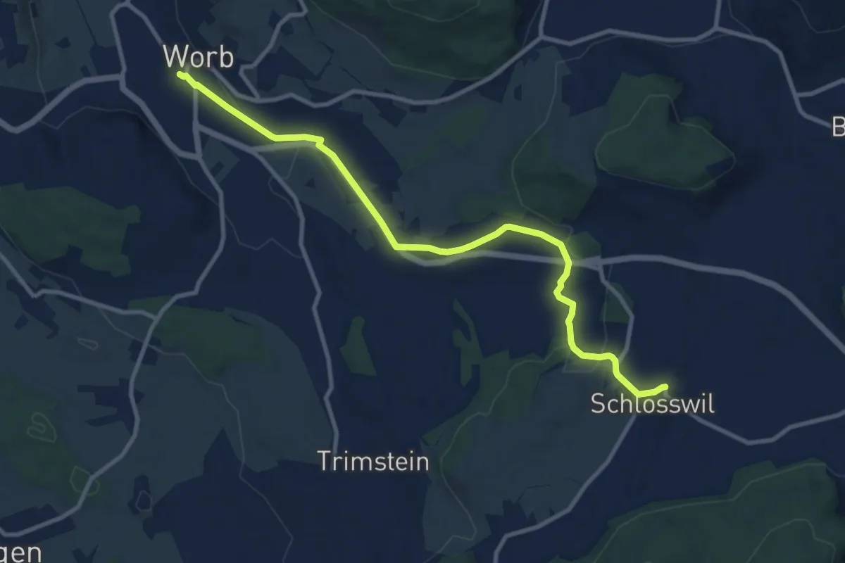
Medium · Trail
Worb – Schlosswil
10.2 km · ↑ 197 m · 2 h 50 min · 6 km away
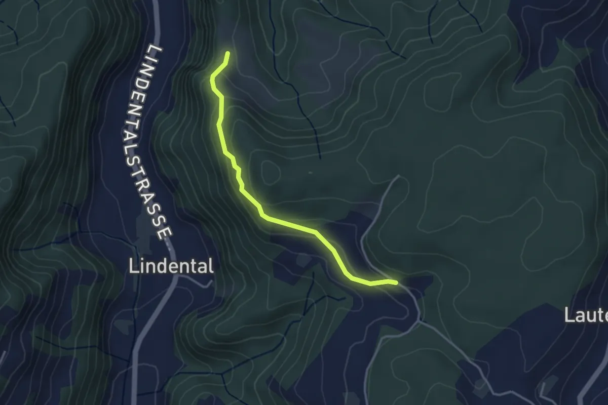
Easy · Trail
Vordere Geisme – Sonnenrain
3.0 km · ↑ 144 m · 1 h 1 min · 6 km away
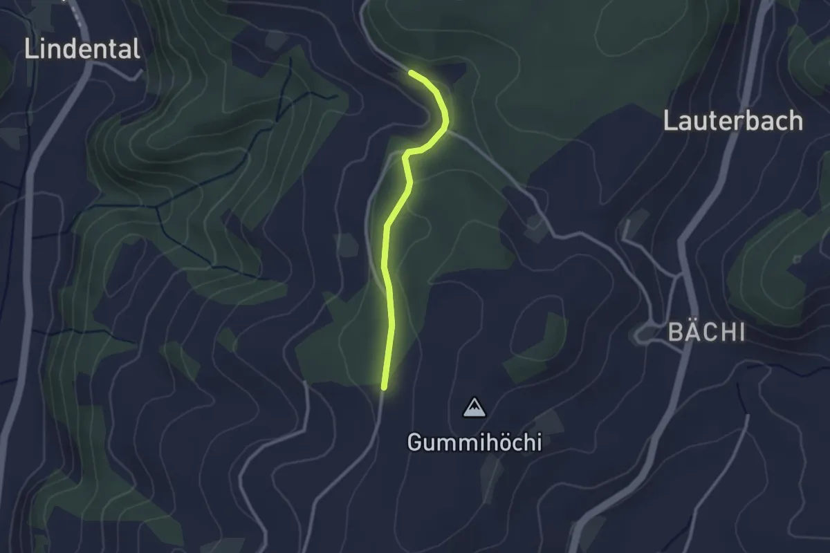
Easy · Trail
Sunnerain – Utzigenwull
2.1 km · ↑ 23 m · 33 min · 6 km away
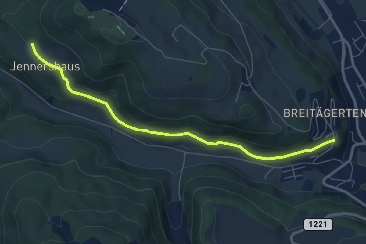
Easy · Trail
Jennershus - Breitägerte
6.0 km · ↑ 206 m · 1 h 52 min · 6 km away
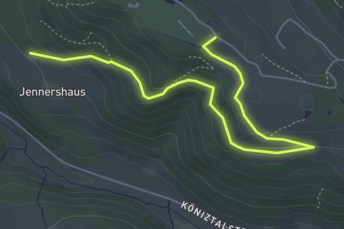
Easy · Summit
Gurten/Ostsignal – Jennershus
5.3 km · ↑ 188 m · 1 h 40 min · 6 km away
Easy · Trail
Wannetal – Mattstettenberg
3.0 km · ↑ 175 m · 1 h 6 min · 6 km away
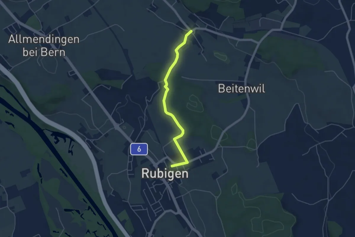
Easy · Trail
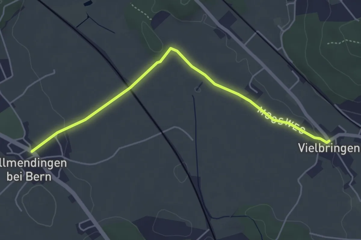
Rubigen – Vielbringen
4.6 km · ↑ 75 m · 1 h 15 min · 6 km away
Easy · Trail
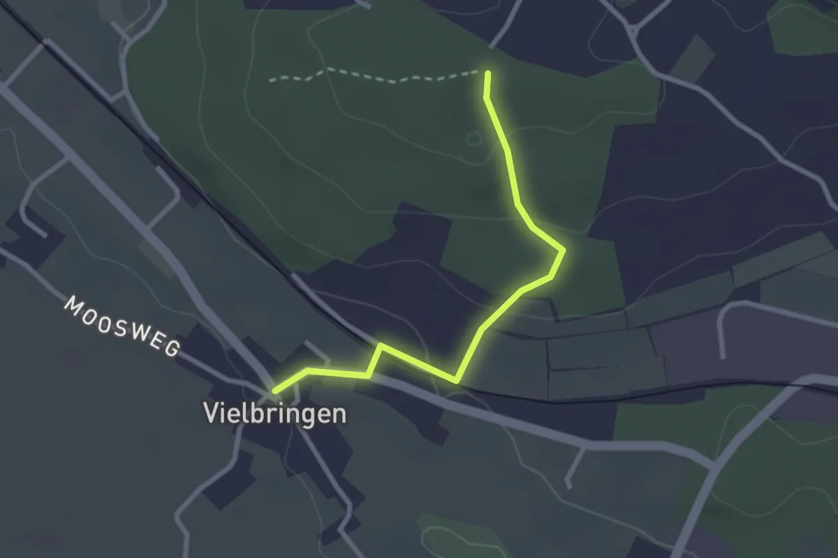
Allmendingen – Vielbringen
4.6 km · ↑ 32 m · 1 h 9 min · 6 km away
Easy · Trail
Vielbringen – Wislenwald
2.4 km · ↑ 85 m · 44 min · 6 km away
Easy · Trail
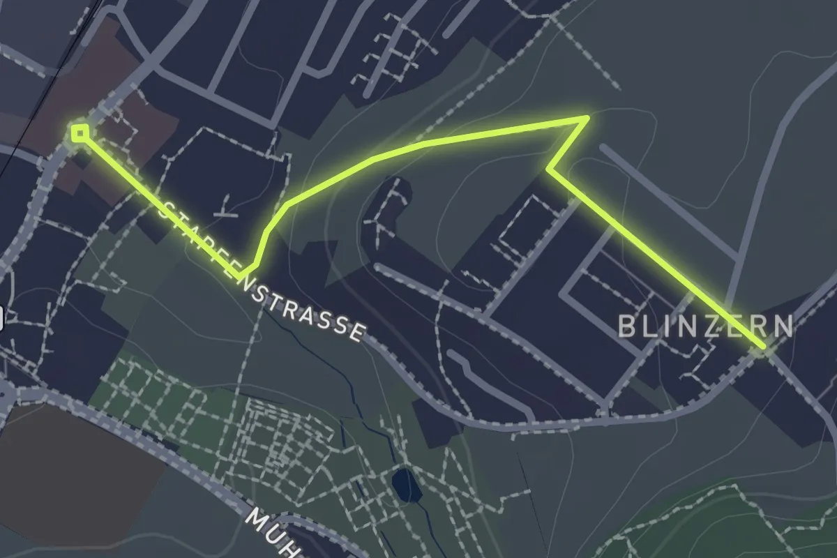
Wasebode – Holzmatt
2.2 km · ↑ 19 m · 33 min · 7 km away
Easy · Trail
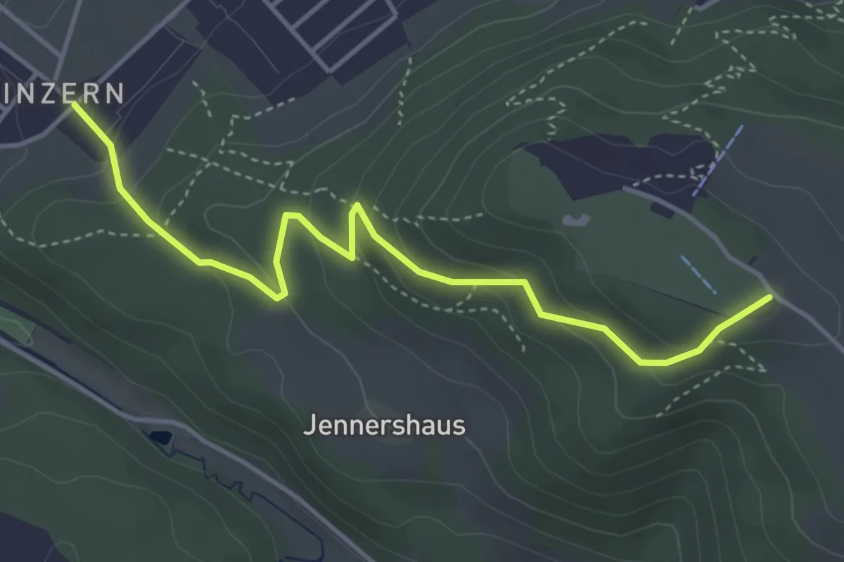
Köniz - Blinzeren
2.3 km · ↑ 49 m · 39 min · 7 km away
Easy · Summit
Blinzern – Gurten/Ostsignal
4.2 km · ↑ 238 m · 1 h 31 min · 7 km away
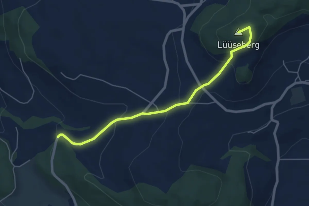
Easy · Summit
Worb/Hasli – Lüseberg
4.6 km · ↑ 219 m · 1 h 34 min · 7 km away
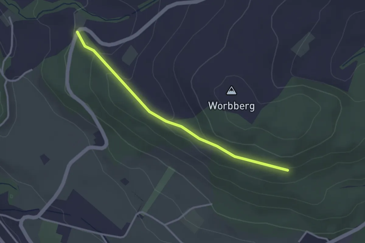
Easy · Trail
Worb/Hasli-Worbberg
2.8 km · ↑ 90 m · 52 min · 7 km away
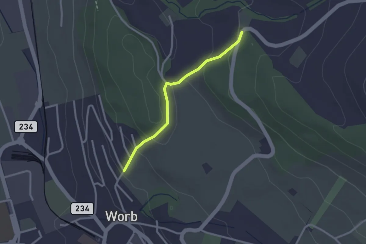
Easy · Trail
Egghalde – Worb/Hasli
2.1 km · ↑ 94 m · 41 min · 7 km away
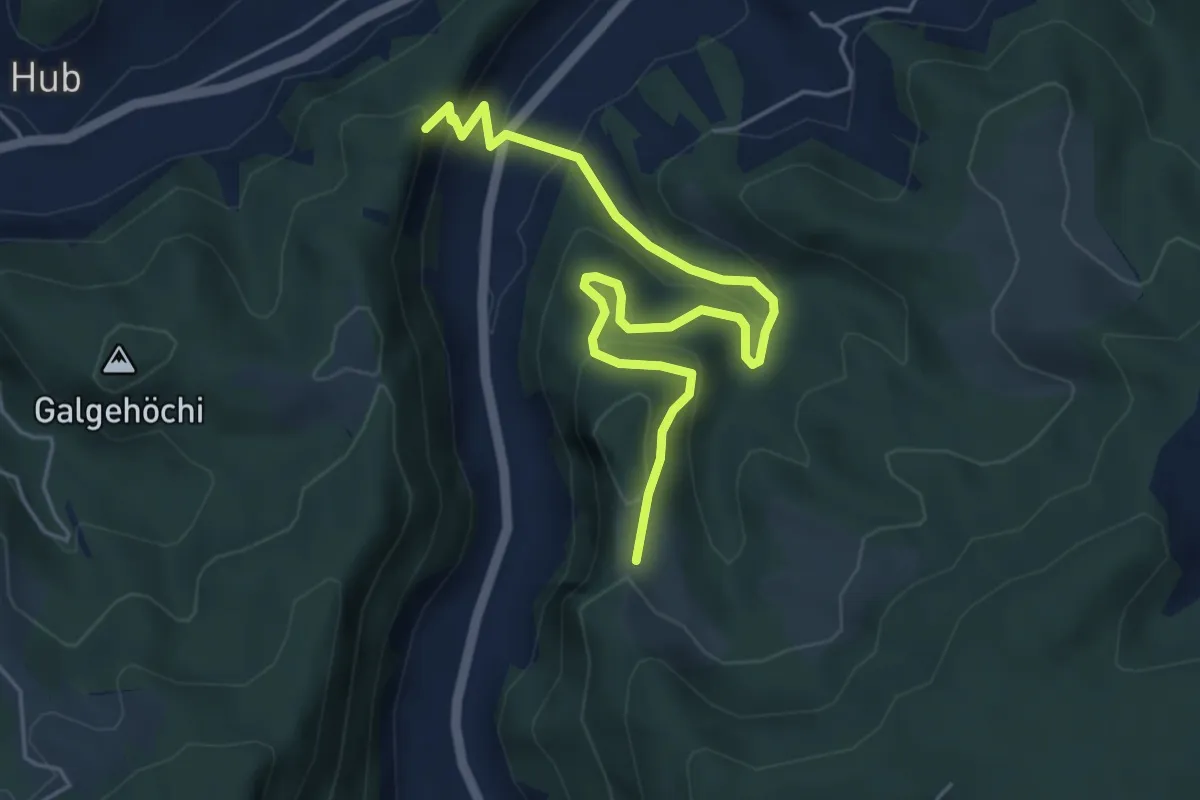
Medium · Trail
Fluehüsli – Vordere Geisme
5.6 km · ↑ 361 m · 2 h 6 min · 7 km away
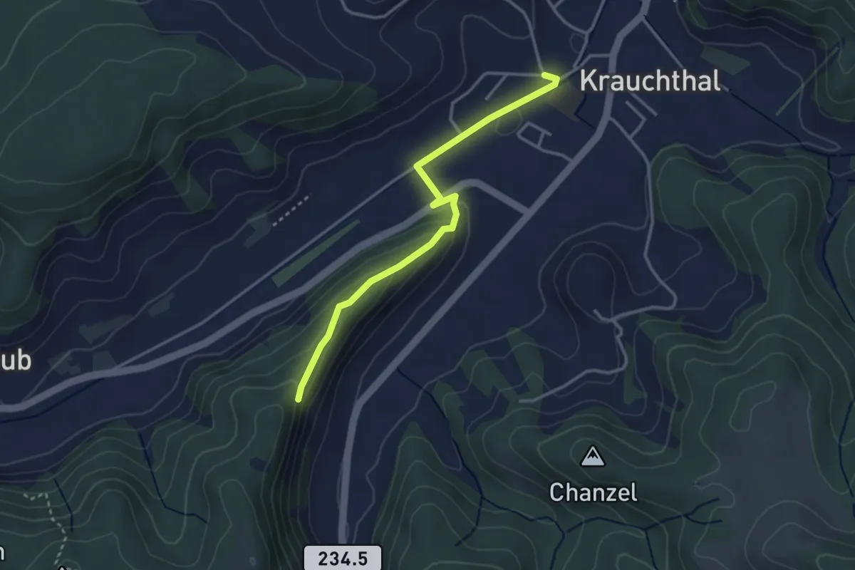
Easy · Trail
Sandhole – Fluehüsli
3.2 km · ↑ 113 m · 1 h · 7 km away