Trails near Ostermundigen
488 hikes starting within 15 km, nearest first.
Nearest first, page 10 of 11
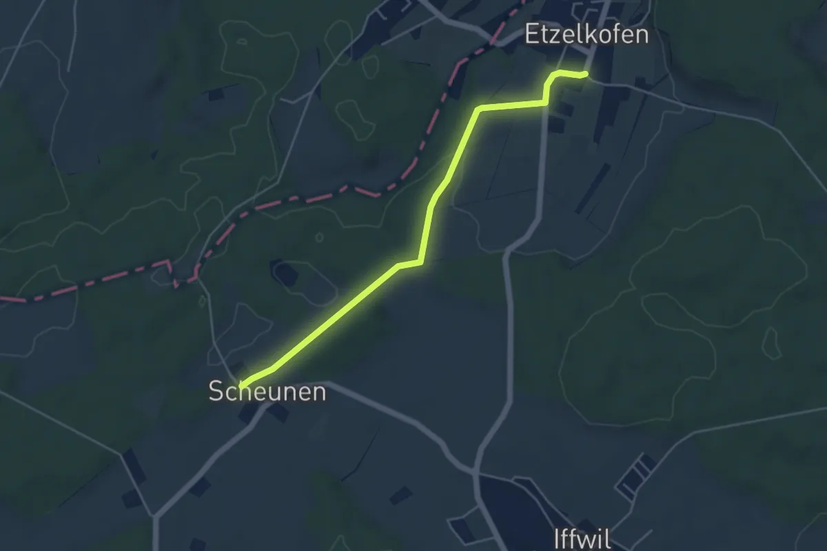
Easy · Trail
Scheunen – Etzelkofen
4.6 km · ↑ 42 m · 1 h 10 min · 14 km away
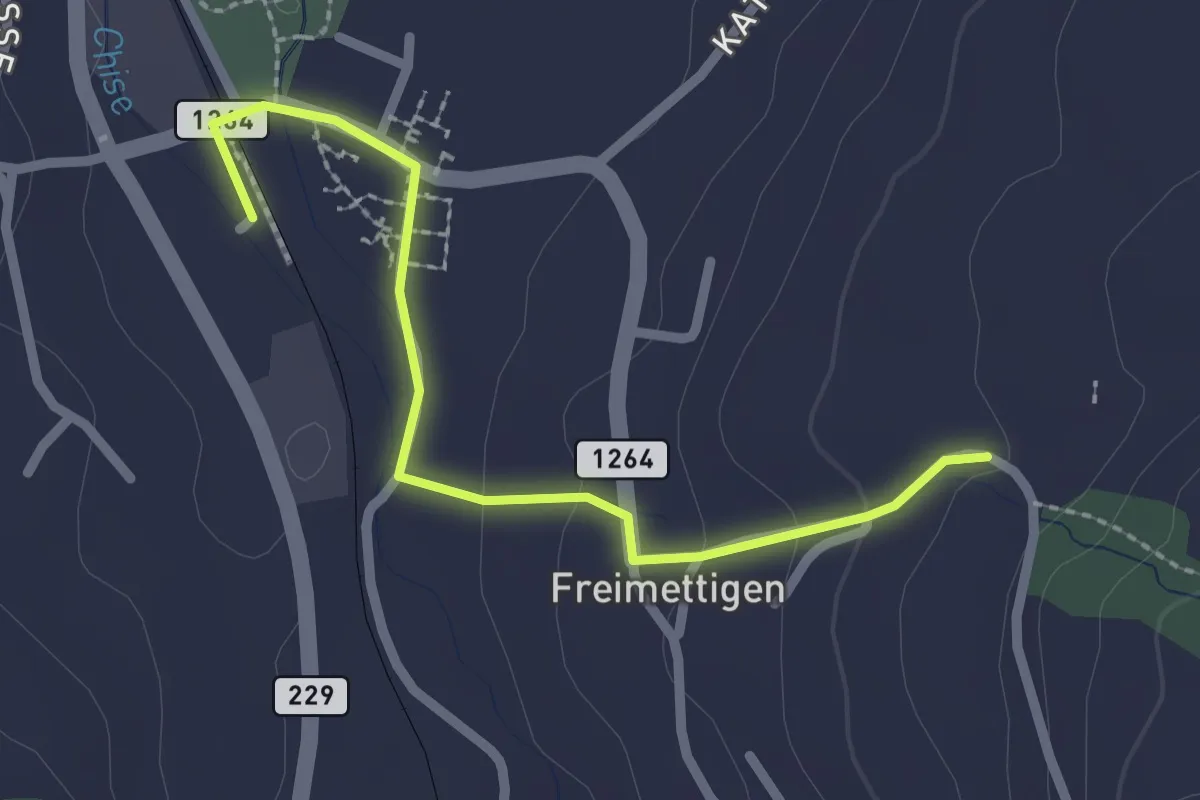
Easy · Trail
Stalden i. E. – Freimettigen
2.4 km · ↑ 53 m · 40 min · 14 km away
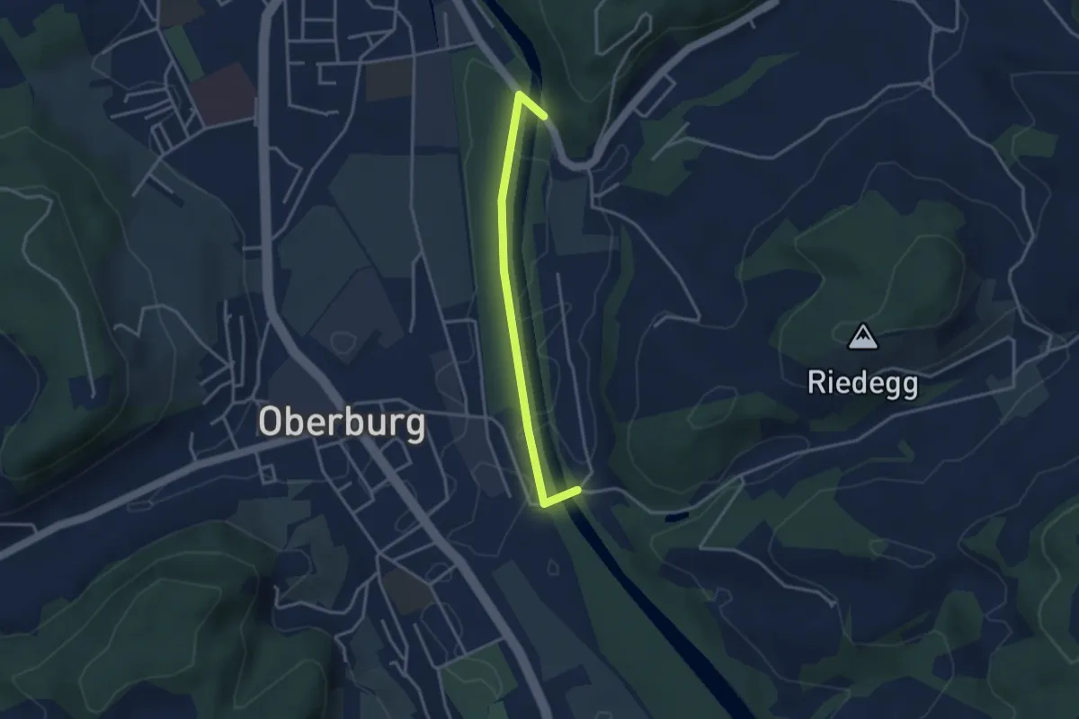
Easy · Trail
Heimiswilbrügg - Lochbachbrügg
3.1 km · ↑ 18 m · 46 min · 14 km away
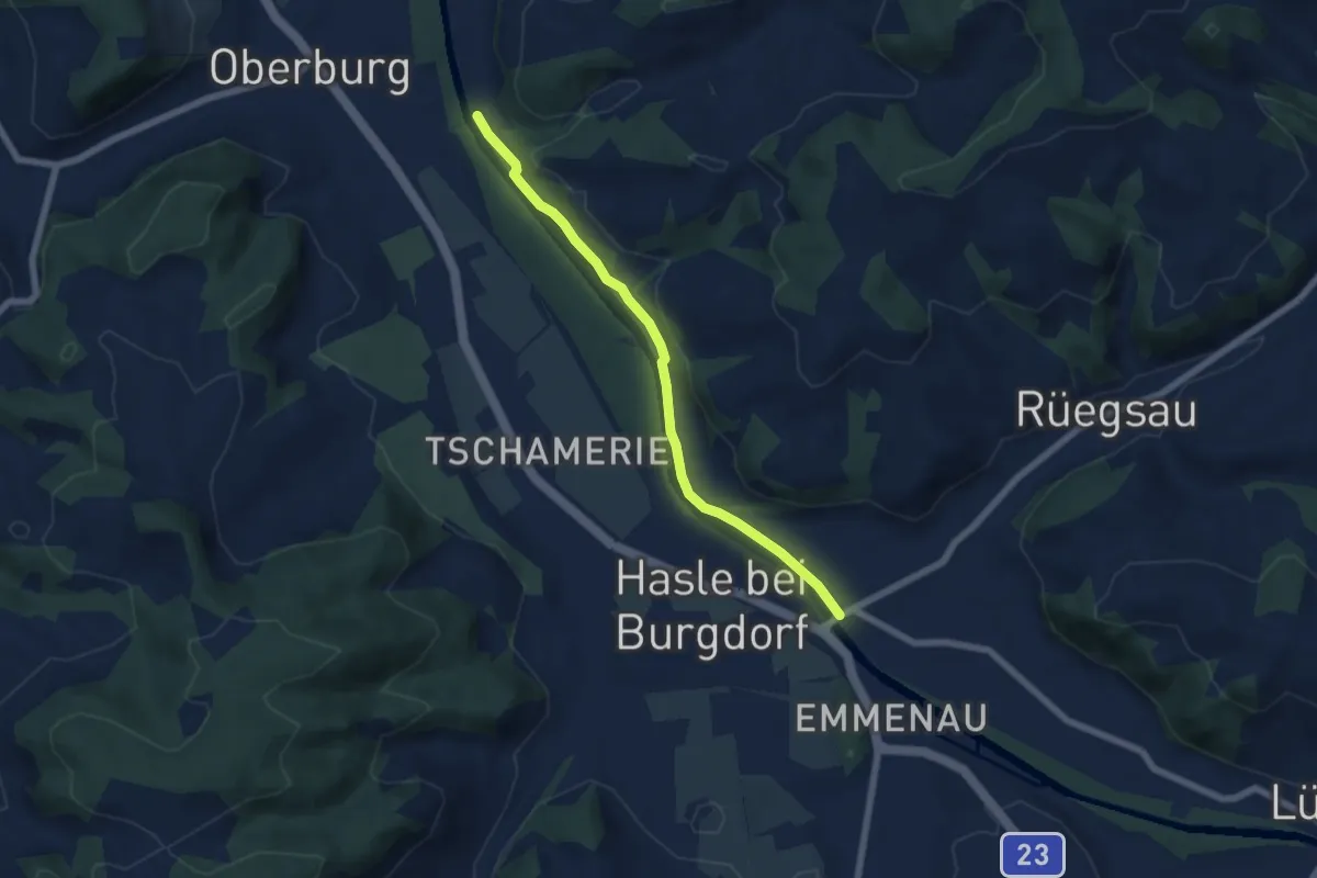
Easy · Trail
Rügsauschachen – Lochbachbrügg
5.8 km · ↑ 47 m · 1 h 29 min · 14 km away
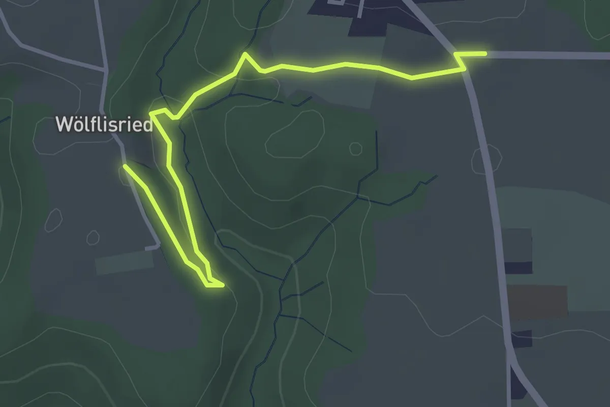
Easy · Trail
Weiermatt – Wölfisried
3.5 km · ↑ 81 m · 1 h · 14 km away
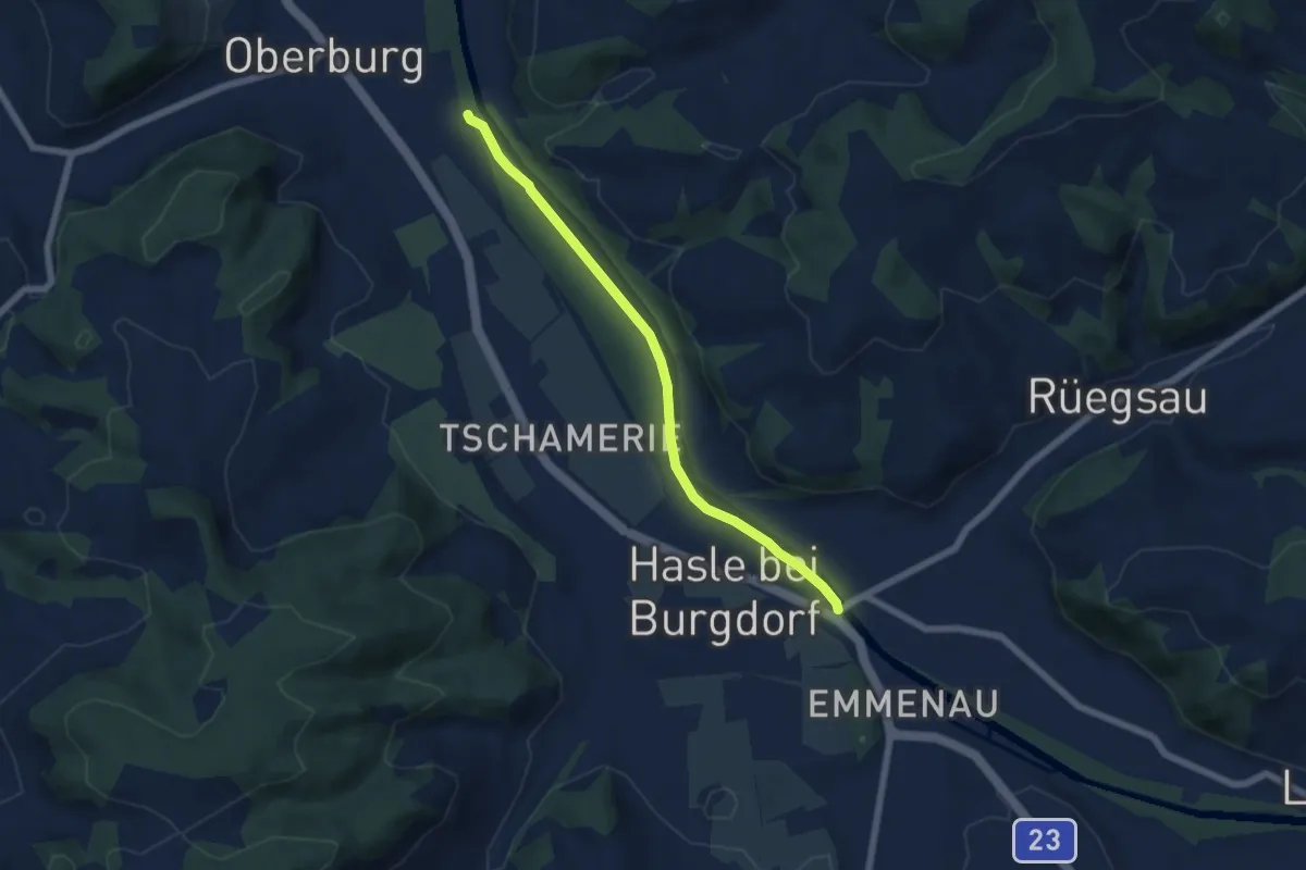
Easy · Trail
Hasle - Rüegsau
5.8 km · ↑ 13 m · 1 h 24 min · 14 km away
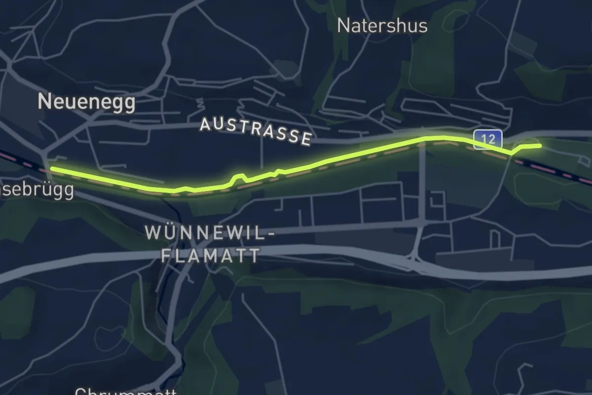
Easy · Trail
Sensebrücke – Steinige Brücke
4.7 km · ↑ 26 m · 1 h 11 min · 14 km away
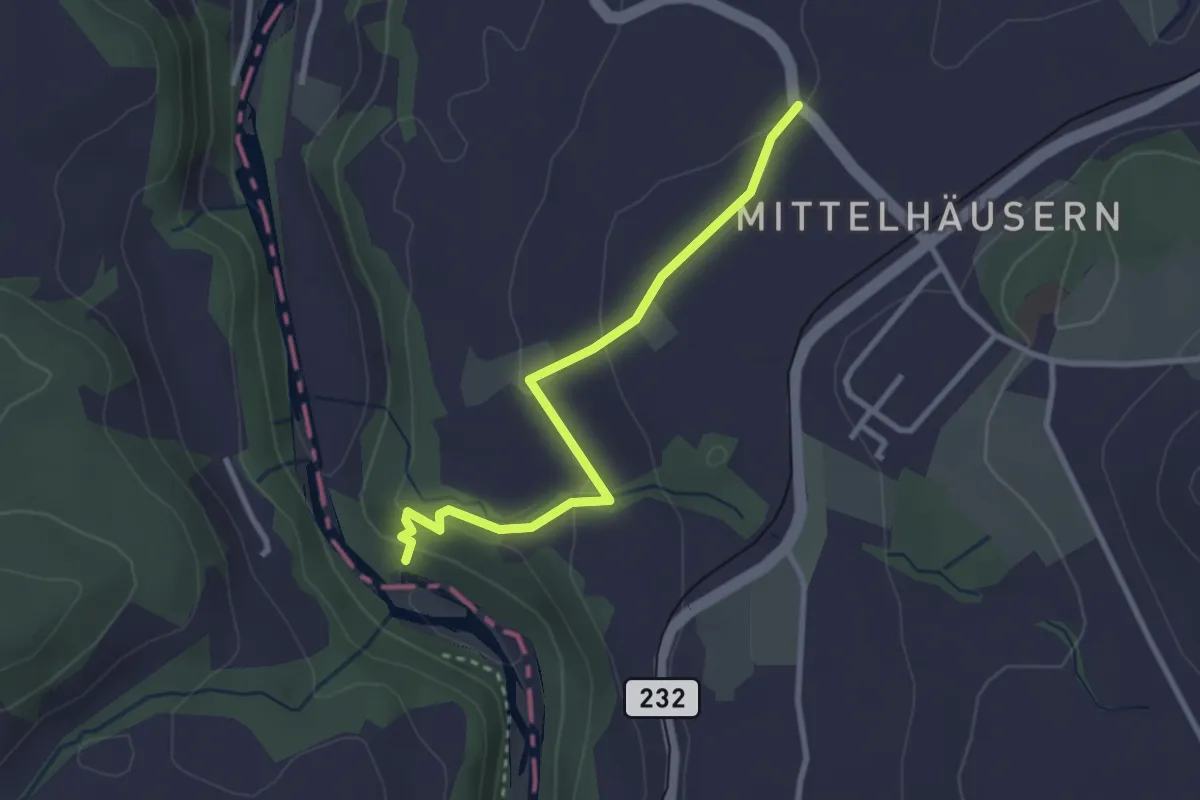
Easy · Trail
Mittelhäusern – Sensematt
2.8 km · ↑ 94 m · 52 min · 14 km away
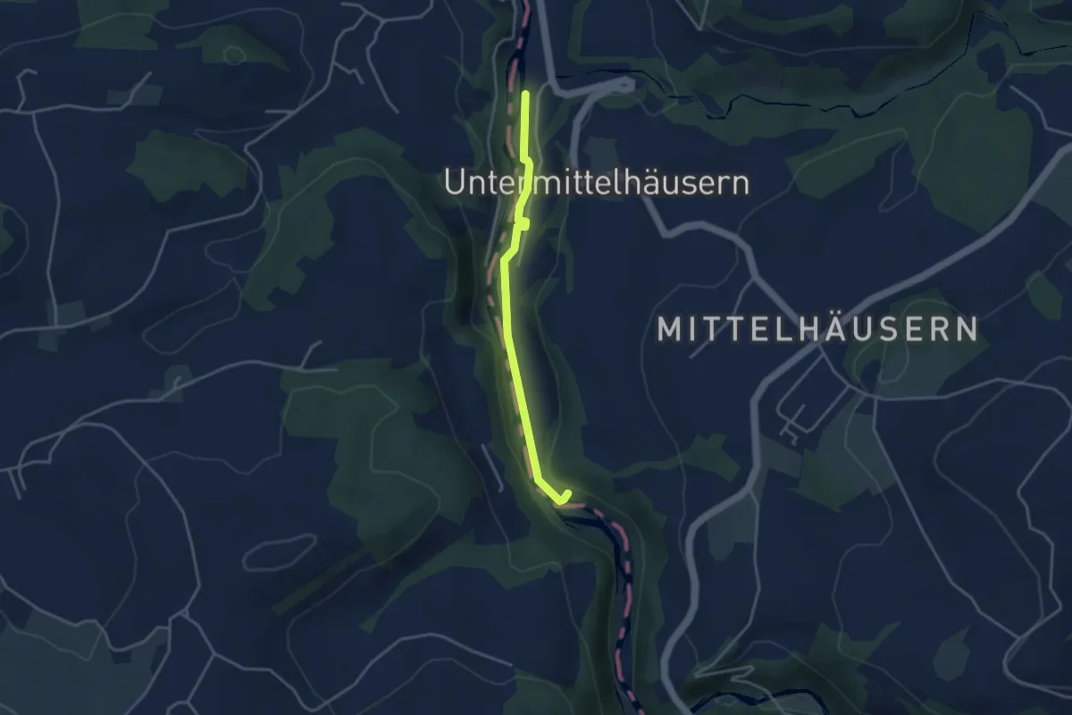
Easy · Trail
Sensegrabe / Büffel – Sensematt
3.2 km · ↑ 50 m · 52 min · 14 km away
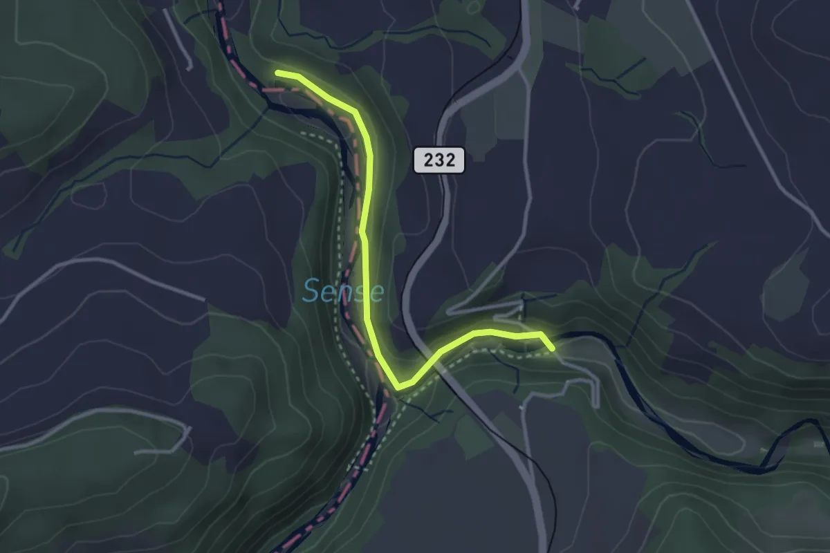
Easy · Trail
Alte Scharzwasserbrücke – Sensegrabe / Büffel
3.0 km · ↑ 52 m · 49 min · 14 km away
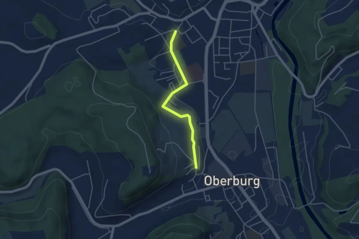
Easy · Trail
Oberburg/Kirche – Burgdorf/Steinhof
3.3 km · ↑ 59 m · 55 min · 14 km away
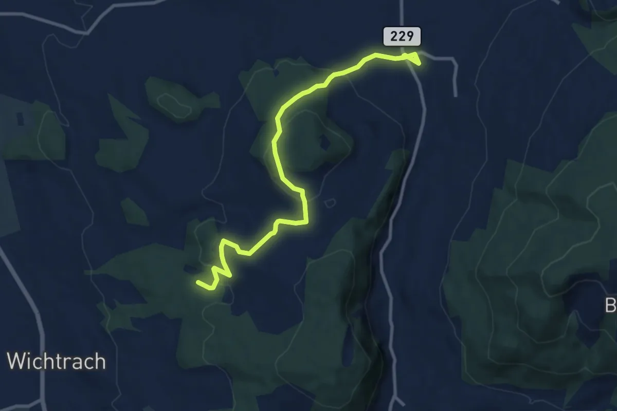
Medium · Trail
Stalden i. E. – Rotebüel
9.4 km · ↑ 302 m · 2 h 52 min · 14 km away
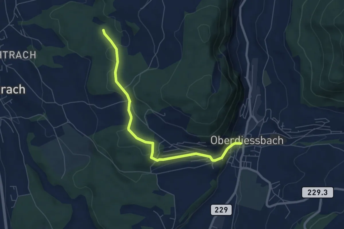
Easy · Trail
Oberdiessbach – Rotebüel
6.3 km · ↑ 169 m · 1 h 52 min · 14 km away
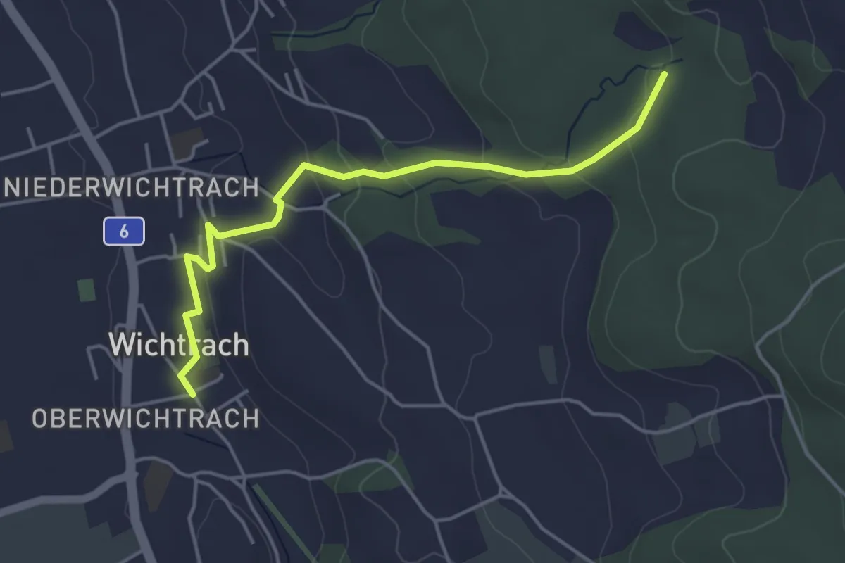
Easy · Trail
Wichtrach – Rotebüel
4.3 km · ↑ 138 m · 1 h 19 min · 14 km away
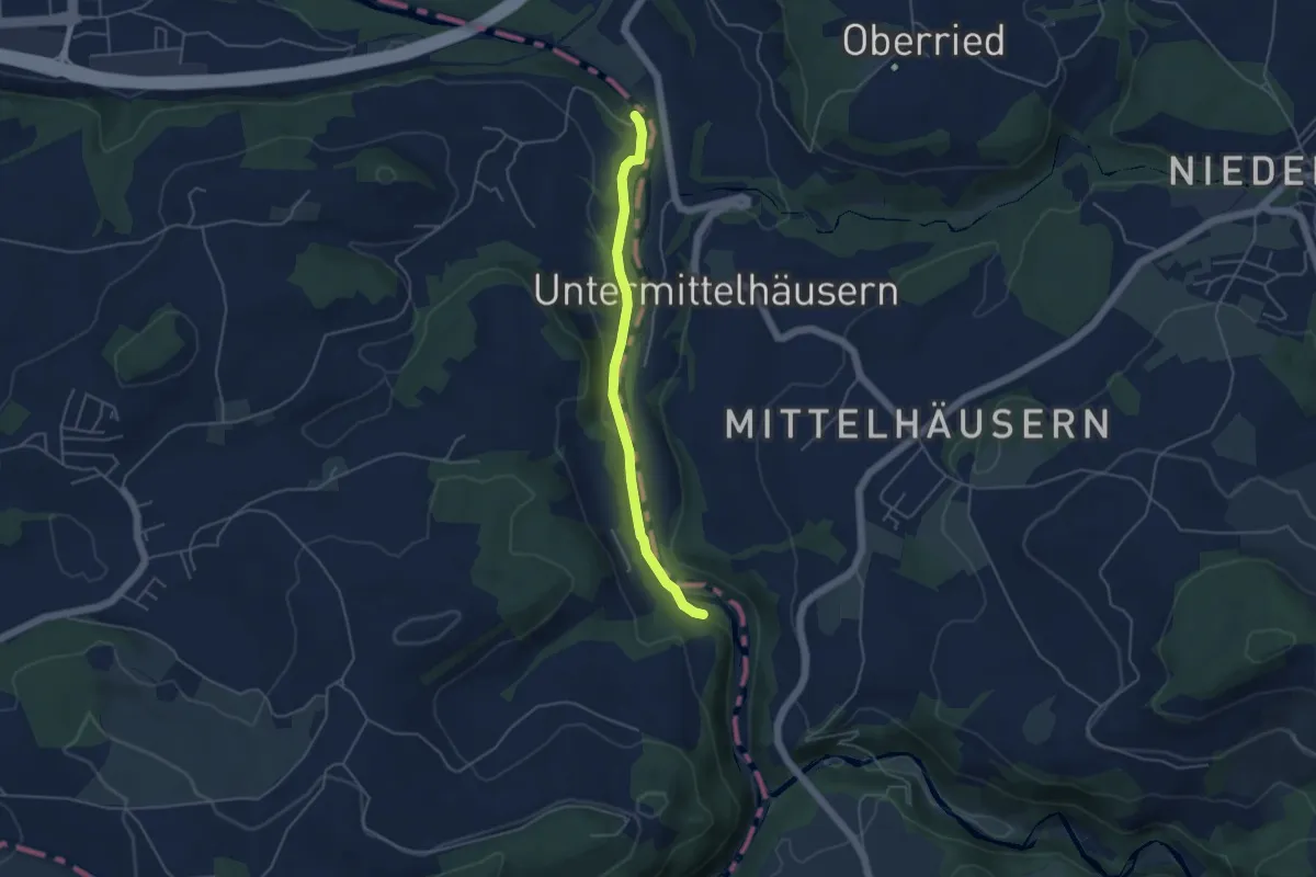
Easy · Trail
Riederenbrücke – Hangried
4.2 km · ↑ 137 m · 1 h 18 min · 14 km away
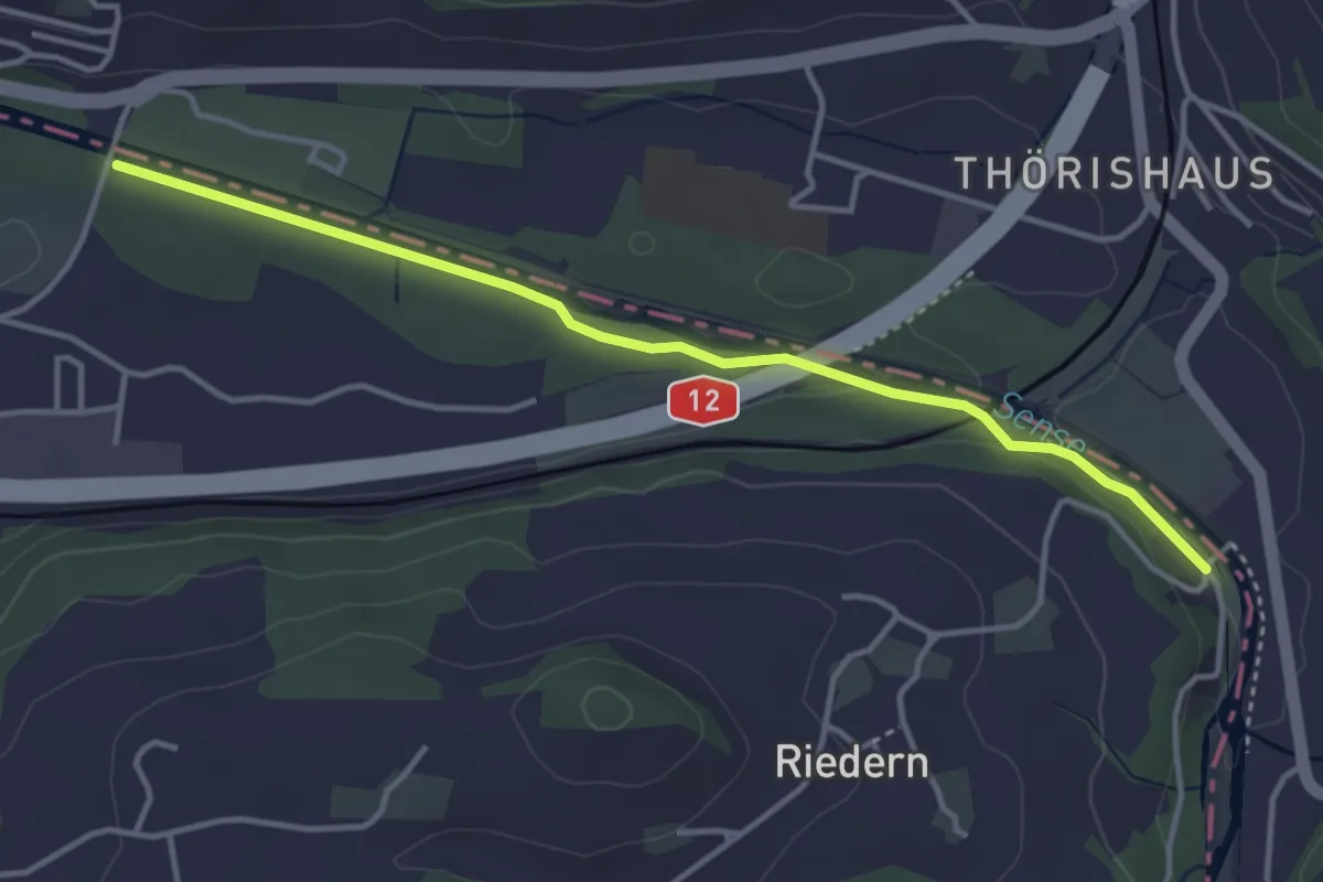
Easy · Trail
Riederenbrücke – Ober Flamatt
3.9 km · ↑ 45 m · 1 h 1 min · 14 km away
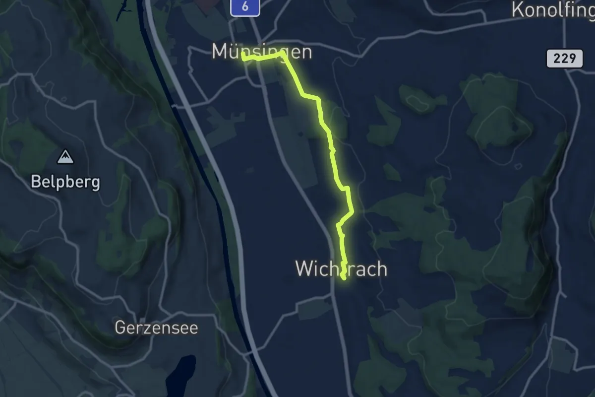
Medium · Trail
Münsingen – Wichtrach
9.1 km · ↑ 130 m · 2 h 26 min · 14 km away
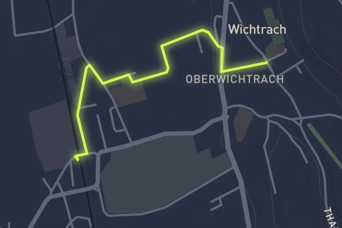
Easy · Trail
Wichtrach Bahnhof – Wichtrach/Kirche
3.0 km · ↑ 19 m · 45 min · 14 km away
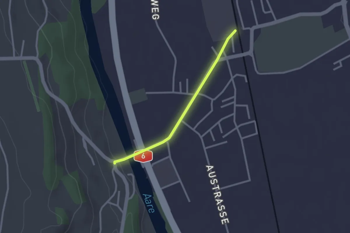
Easy · Trail
Thalgutbrücke - Wichtrach
2.1 km · ↑ 12 m · 31 min · 14 km away
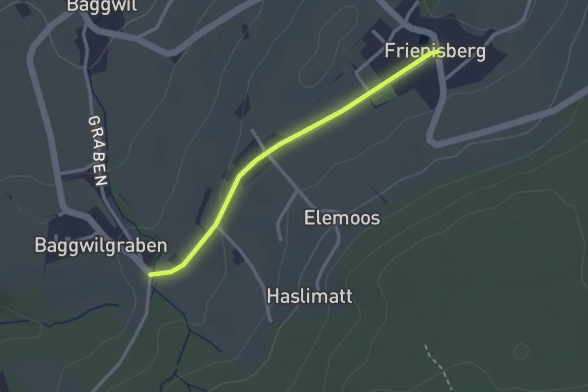
Easy · Trail
Frieniswil – Baggwilgraben
2.2 km · ↑ 37 m · 36 min · 14 km away
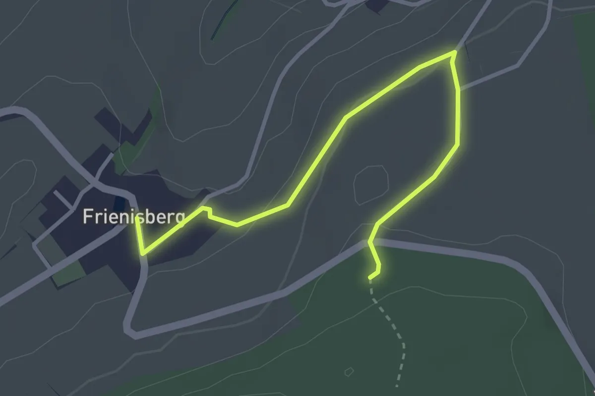
Easy · Trail
Frienisberg – Frienisberger
3.2 km · ↑ 74 m · 56 min · 14 km away
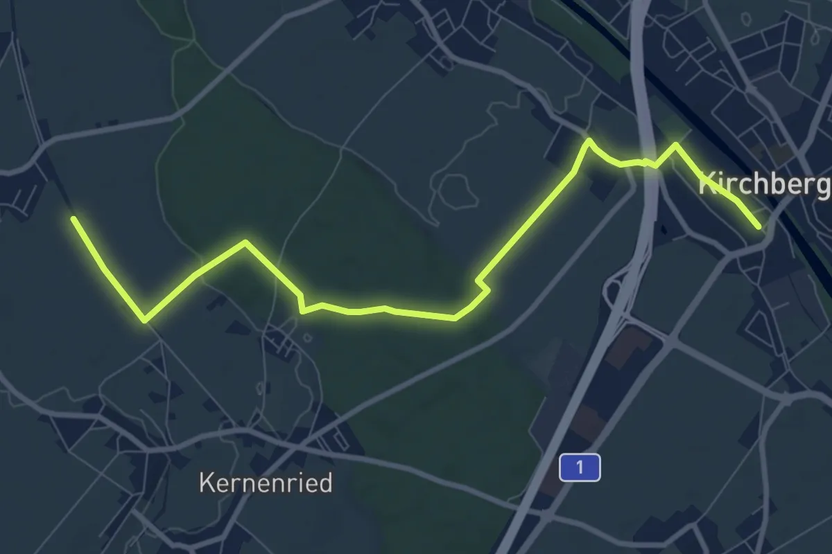
Medium · Trail
Alchenflüh – Fraubrunnenmoos
9.6 km · ↑ 57 m · 2 h 23 min · 14 km away
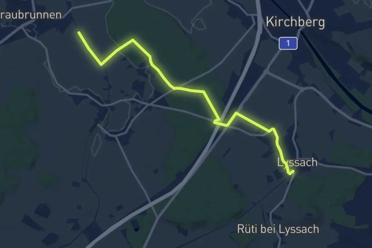
Medium · Trail
Fraubrunnenmoos – Lyssach Station
10.7 km · ↑ 61 m · 2 h 39 min · 14 km away
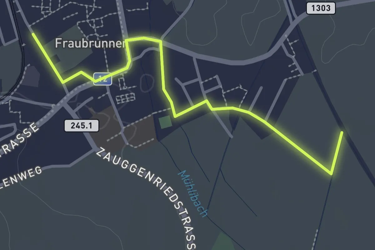
Easy · Trail
Fraubrunnen – Fraubrunnenmoos
3.2 km · ↑ 4 m · 47 min · 14 km away
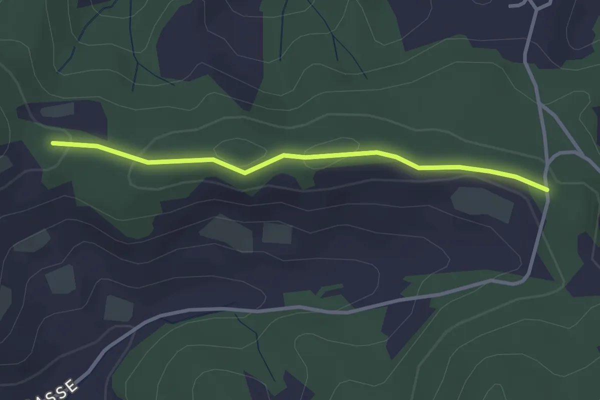
Easy · Trail
Spränzel – Hinderegg
2.7 km · ↑ 39 m · 43 min · 14 km away
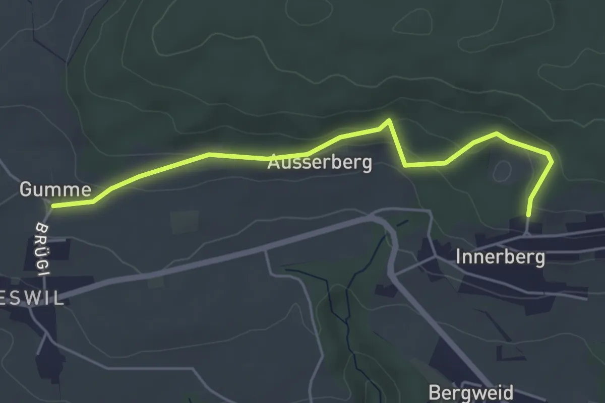
Easy · Trail
Gummen – Innerberg Mösli
4.6 km · ↑ 174 m · 1 h 27 min · 14 km away
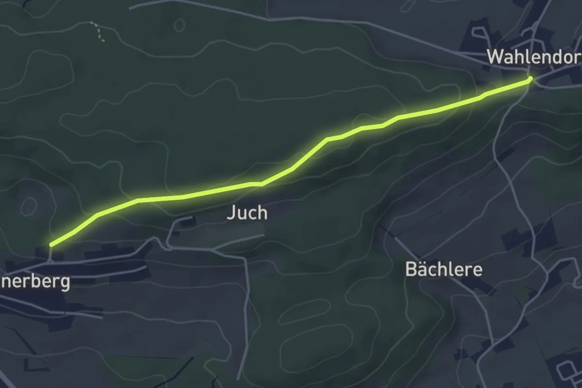
Easy · Trail
Wahlendorf Usserdorf – Innerberg Mösli
4.3 km · ↑ 155 m · 1 h 22 min · 14 km away
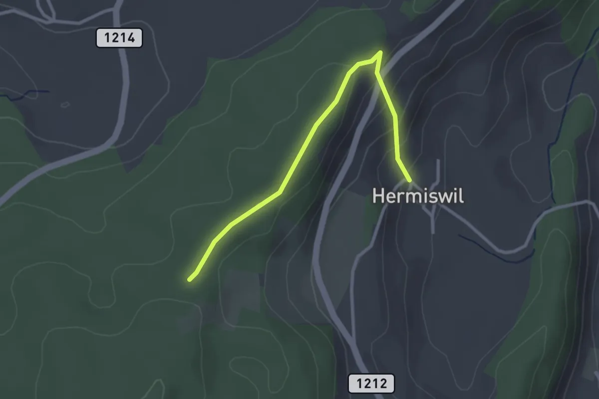
Easy · Trail
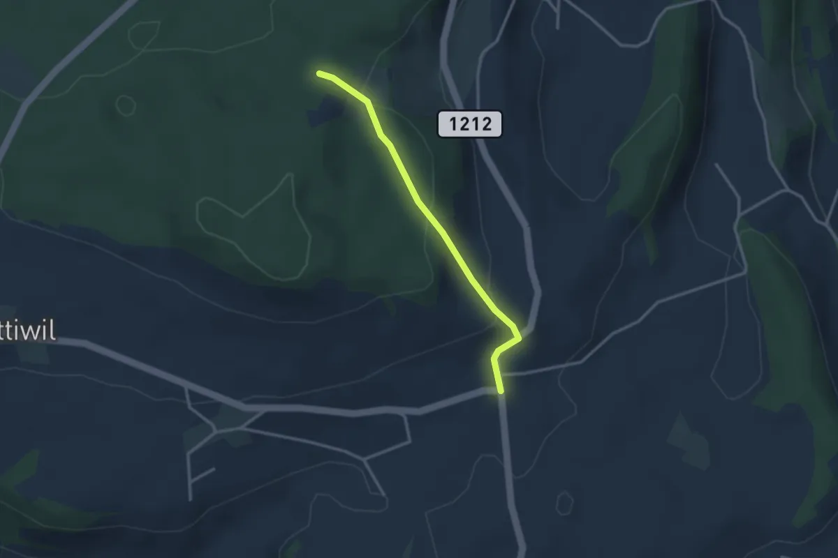
Hermiswil – Taanwald
2.7 km · ↑ 112 m · 53 min · 14 km away
Easy · Trail
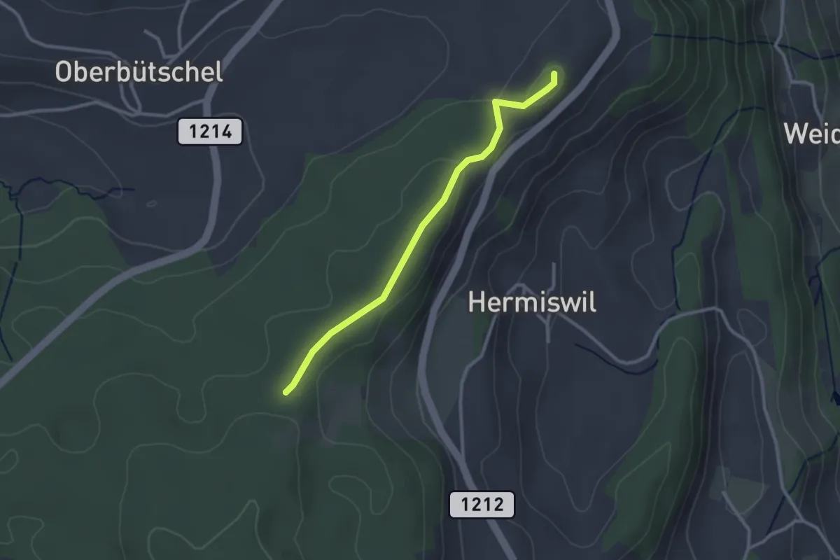
Taanwald – Hasli
2.6 km · ↑ 117 m · 52 min · 14 km away
Easy · Summit
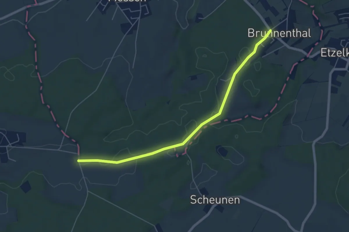
Tavelgedenkstätte – Taanwald
2.6 km · ↑ 53 m · 44 min · 14 km away
Easy · Trail
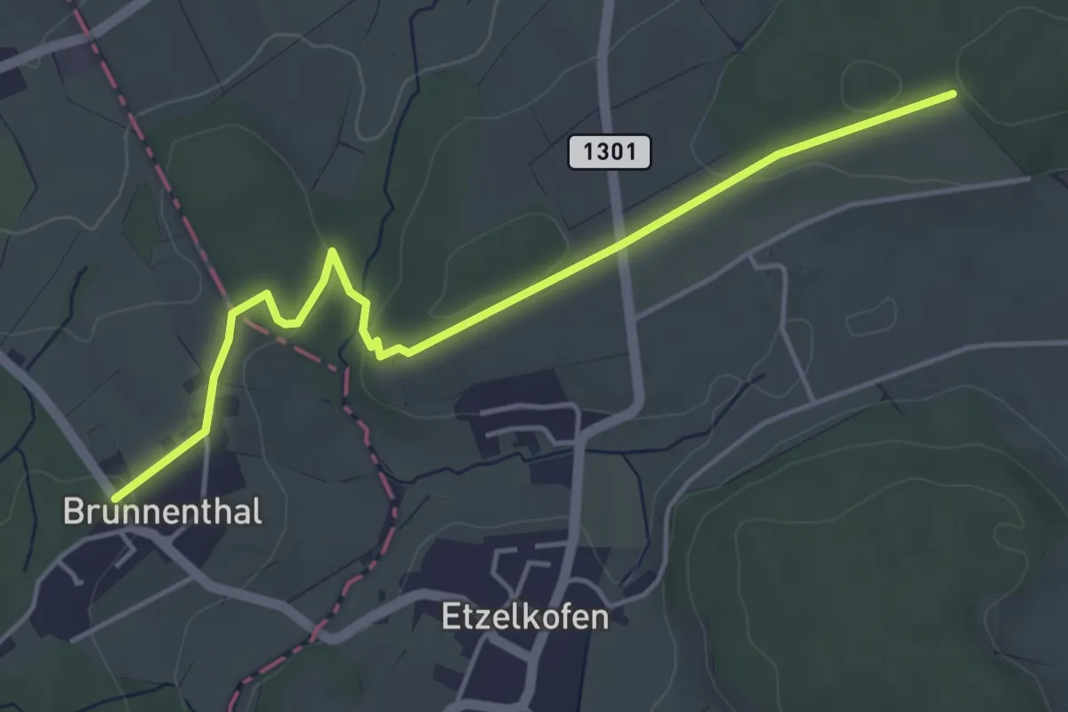
Messen Brunnenthal – Messen Chorber Egge
5.5 km · ↑ 46 m · 1 h 23 min · 14 km away
Easy · Trail
Schöniberg – Messen Brunnenthal
4.7 km · ↑ 71 m · 1 h 16 min · 14 km away
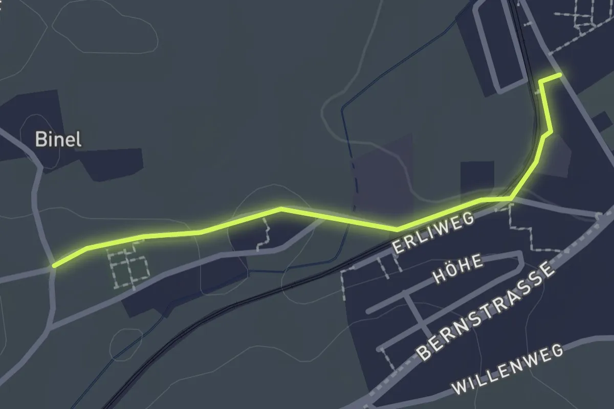
Easy · Trail
Fraubrunnen – Binel
2.0 km · ↑ 19 m · 31 min · 14 km away
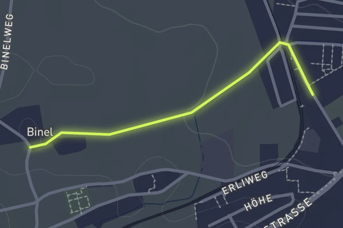
Easy · Trail
Fraubrunnen – Binel
2.0 km · ↑ 13 m · 30 min · 14 km away
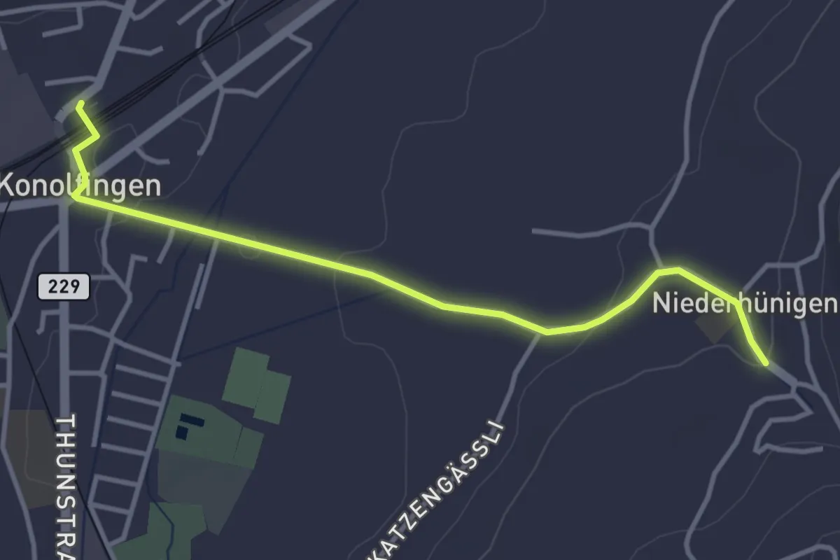
Easy · Trail
Niederhünigen – Konolfingen
3.6 km · ↑ 43 m · 57 min · 14 km away
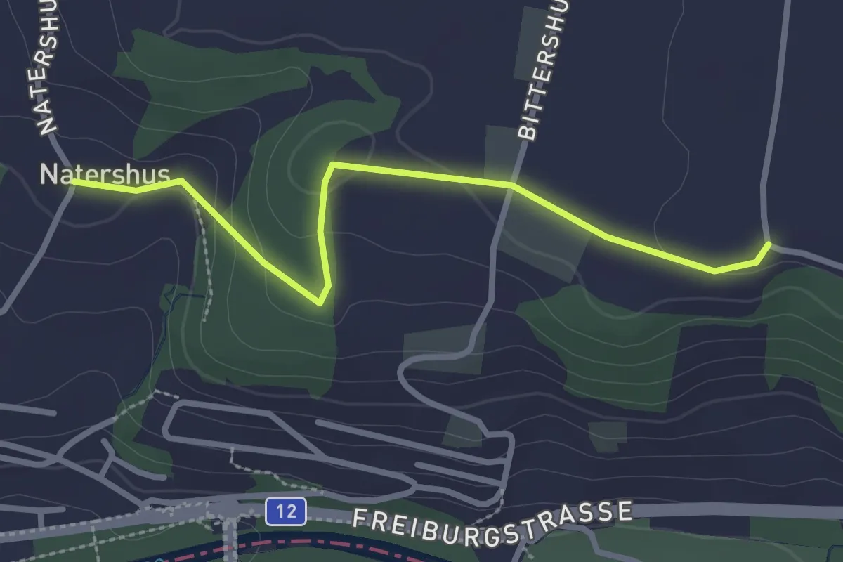
Easy · Trail
Natershus - Ufem Shoren
2.7 km · ↑ 58 m · 46 min · 15 km away
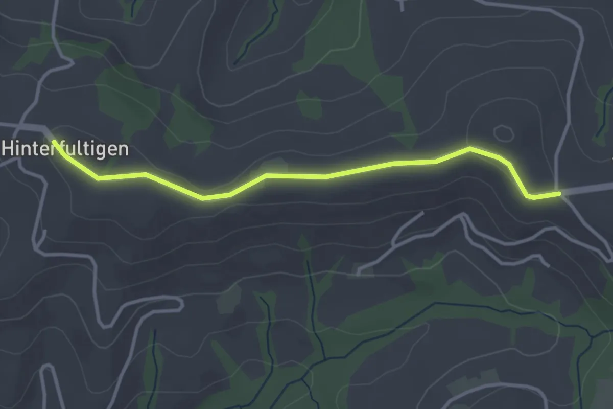
Easy · Trail
Hinterfultigen – Vorderfultigen
3.2 km · ↑ 42 m · 50 min · 15 km away
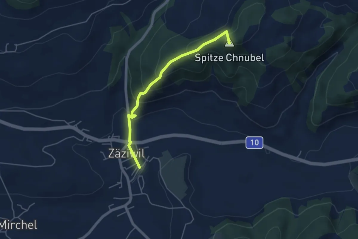
Easy · Summit
Chäneltal – Zäziwil
3.9 km · ↑ 260 m · 1 h 28 min · 15 km away
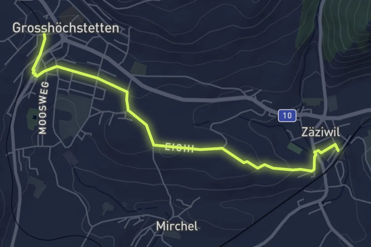
Easy · Trail
Grosshöchstetten – Zäziwil
5.9 km · ↑ 78 m · 1 h 33 min · 15 km away
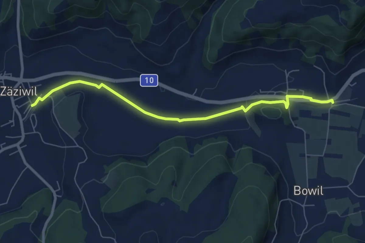
Easy · Trail
Bowil – Zäziwil
6.2 km · ↑ 63 m · 1 h 36 min · 15 km away
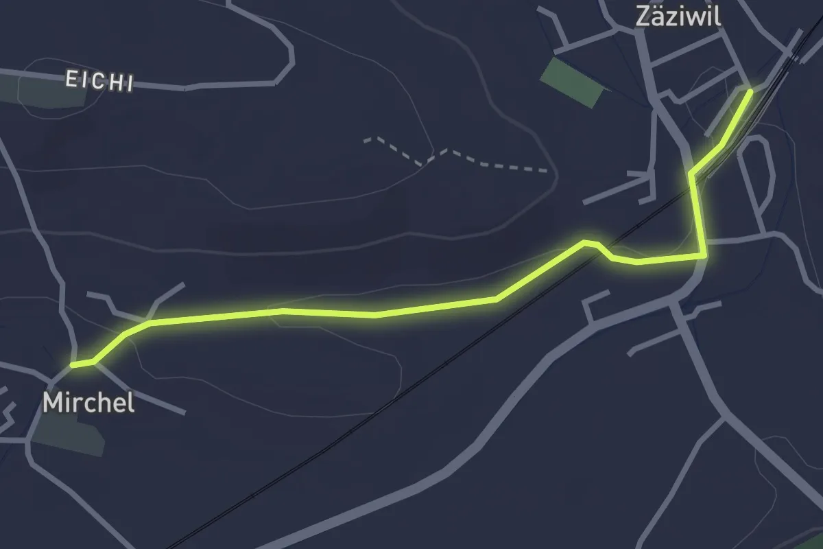
Easy · Trail
Zäziwil – Mirchel
2.9 km · ↑ 14 m · 42 min · 15 km away
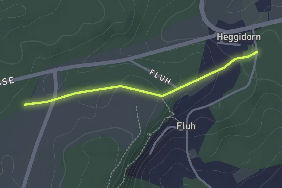
Easy · Trail
Obere Ledi - Heggidorn
2.1 km · ↑ 53 m · 37 min · 15 km away
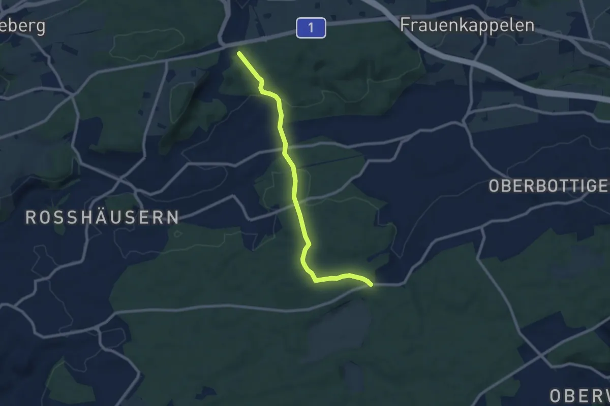
Easy · Trail
Heggidorn - Fuessacher
7.7 km · ↑ 218 m · 2 h 17 min · 15 km away
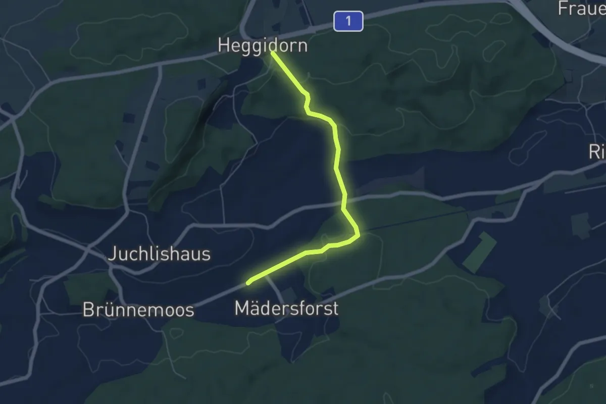
Easy · Trail
Rosshäusern/Station - Heggidorn
5.3 km · ↑ 157 m · 1 h 35 min · 15 km away
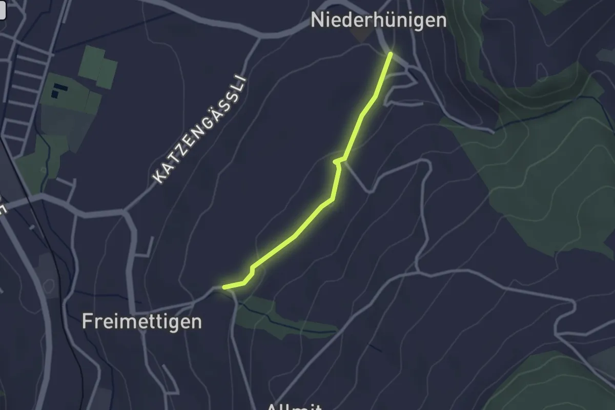
Easy · Trail
Niederhünigen – Freimettigen
2.2 km · ↑ 47 m · 37 min · 15 km away
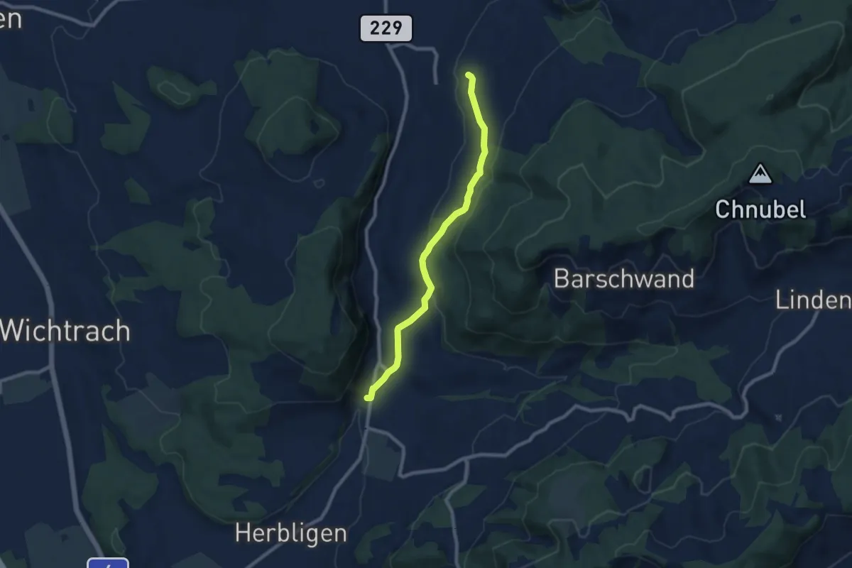
Easy · Trail
Oberdiessbach – Freimettigen
7.7 km · ↑ 236 m · 2 h 19 min · 15 km away
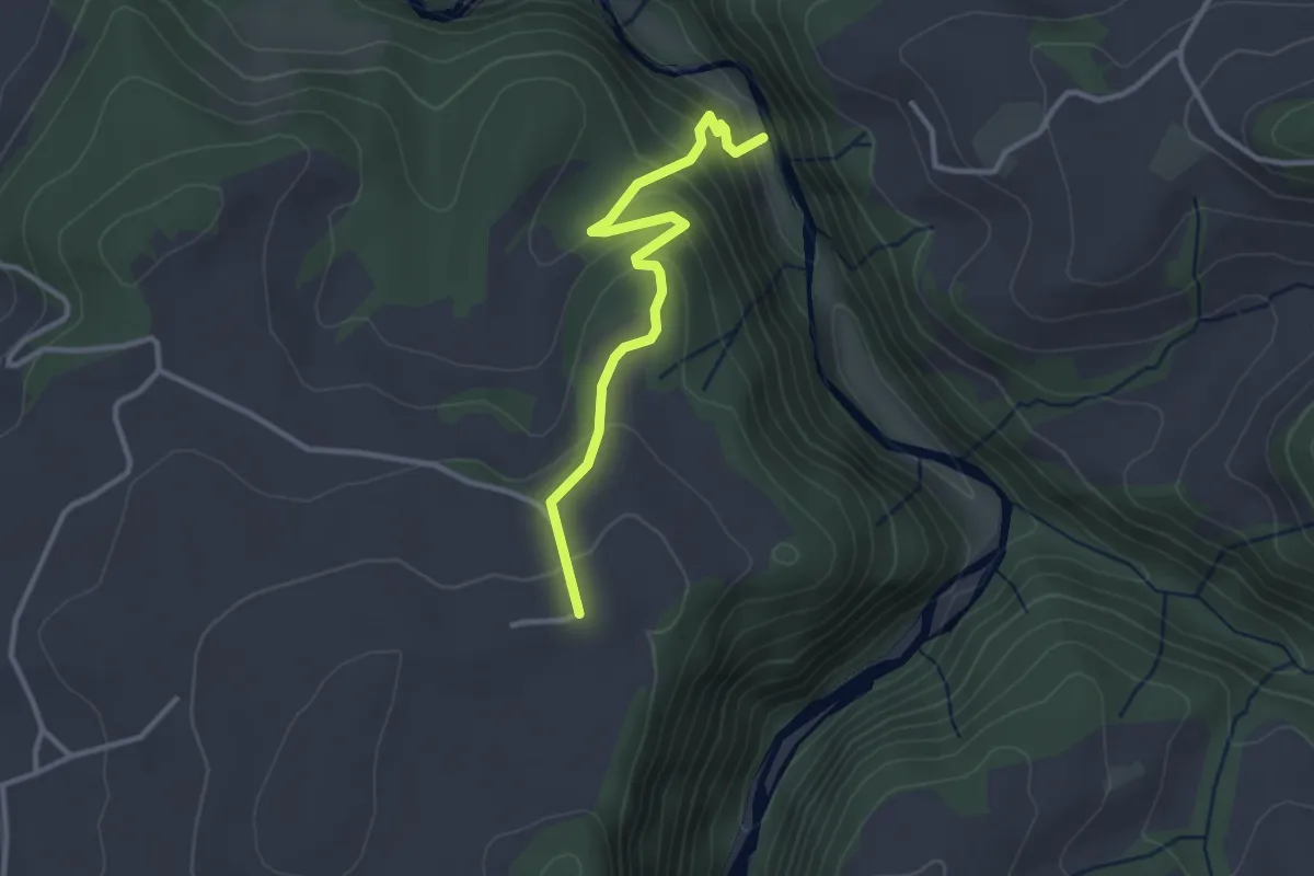
Easy · Trail
Schwarzwassergraben - Nidegg
3.0 km · ↑ 234 m · 1 h 13 min · 15 km away
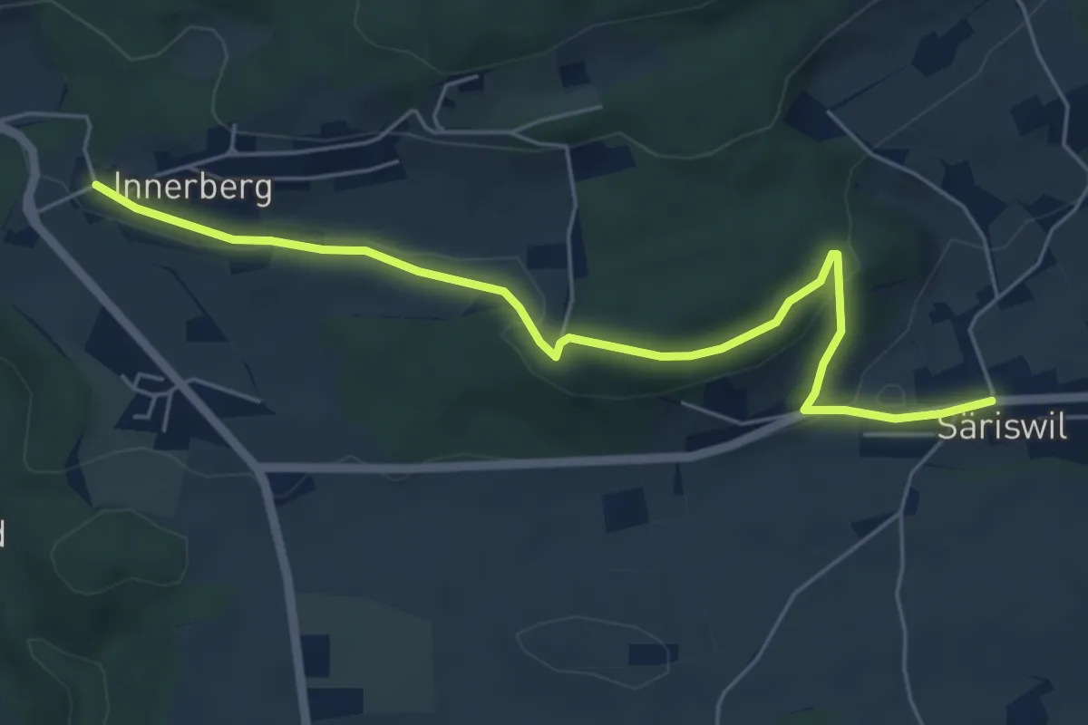
Easy · Trail
Innerberg – Säriswil
5.8 km · ↑ 147 m · 1 h 42 min · 15 km away