Trails near Ostermundigen
488 hikes starting within 15 km, nearest first.
Nearest first, page 9 of 11
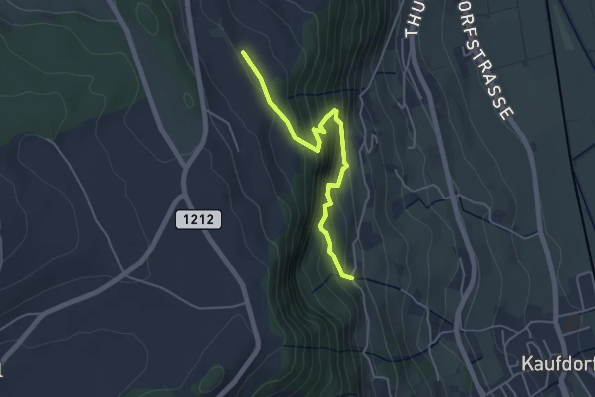
Easy · Trail
Oberfeld - Gutenbrünnen
3.4 km · ↑ 304 m · 1 h 28 min · 13 km away
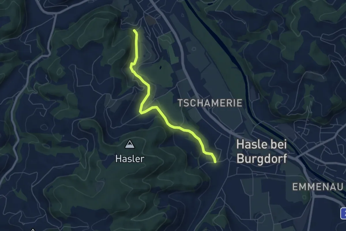
Easy · Trail
Hasle-Rüegsau – Oberburg
5.7 km · ↑ 200 m · 1 h 47 min · 13 km away
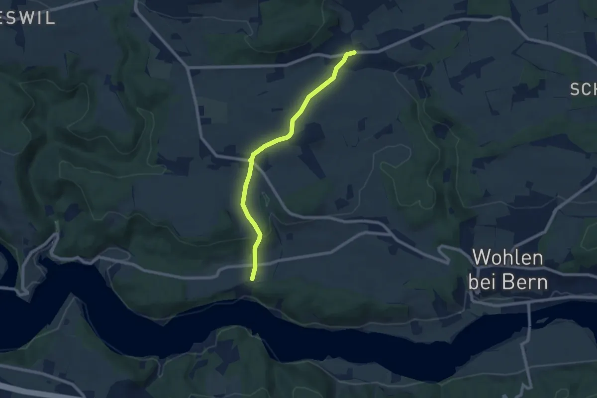
Easy · Trail
Säriswil – Steinisweg
6.1 km · ↑ 114 m · 1 h 42 min · 13 km away
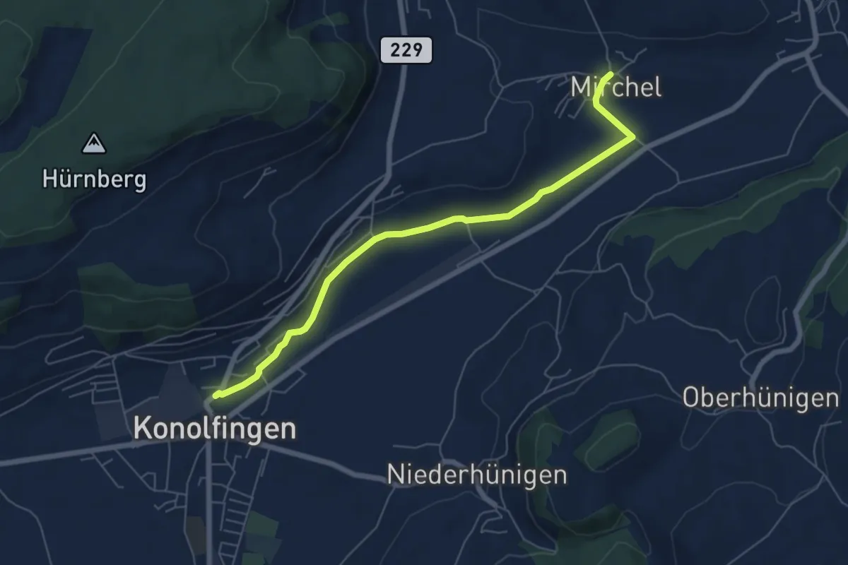
Easy · Trail
Mirchel – Konolfingen
6.2 km · ↑ 56 m · 1 h 35 min · 13 km away
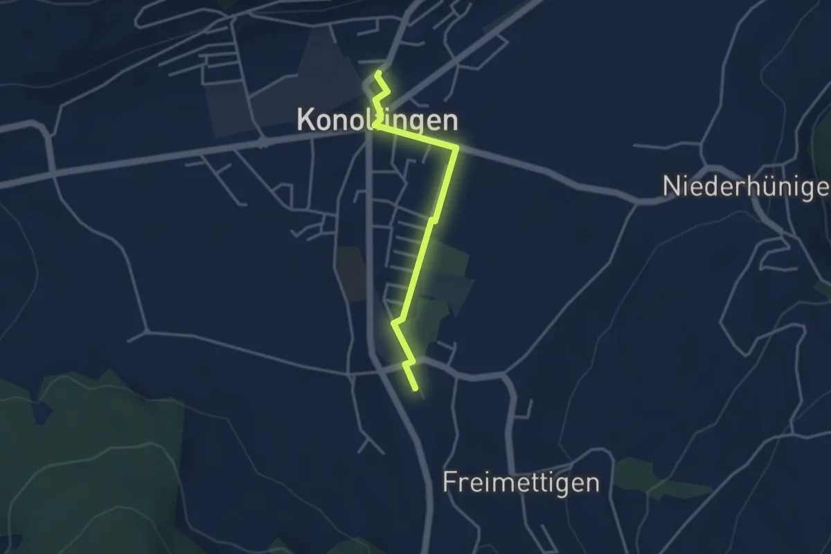
Easy · Trail
Stalden i. E. – Konolfingen
3.0 km · ↑ 9 m · 44 min · 13 km away
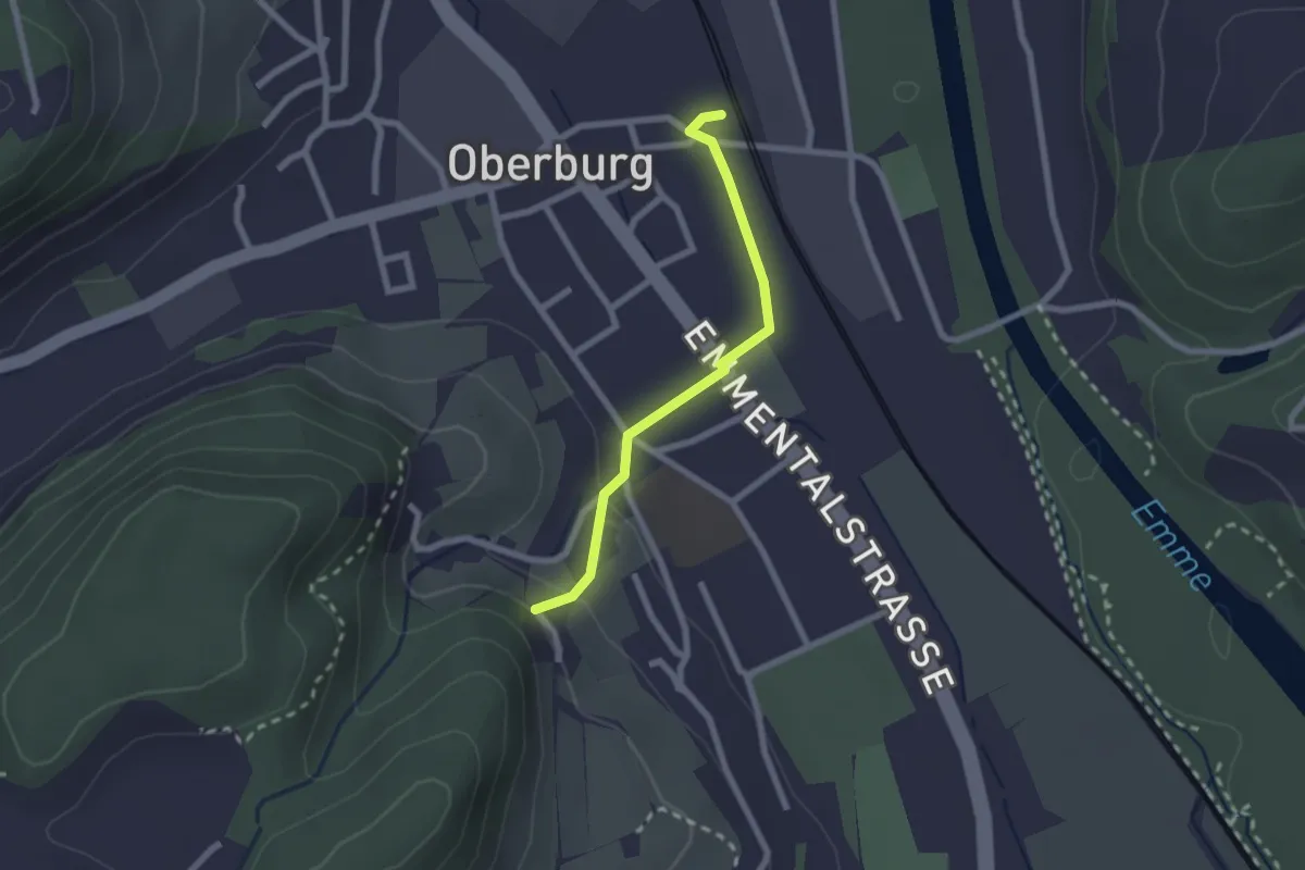
Easy · Trail
Leimern – Oberburg
2.0 km · ↑ 46 m · 35 min · 13 km away
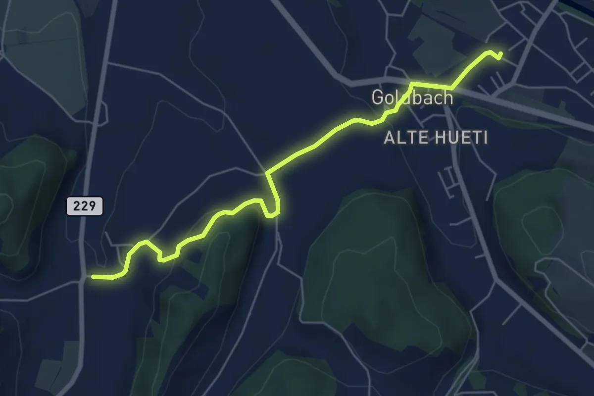
Easy · Trail
Schafhausen – Lützelflüh
5.6 km · ↑ 167 m · 1 h 40 min · 13 km away
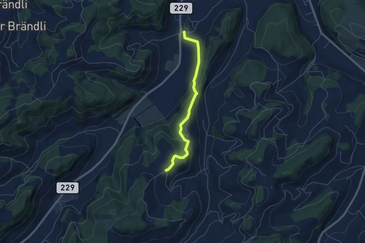
Easy · Trail
Bütschwil – Schafhausen
4.9 km · ↑ 199 m · 1 h 36 min · 13 km away
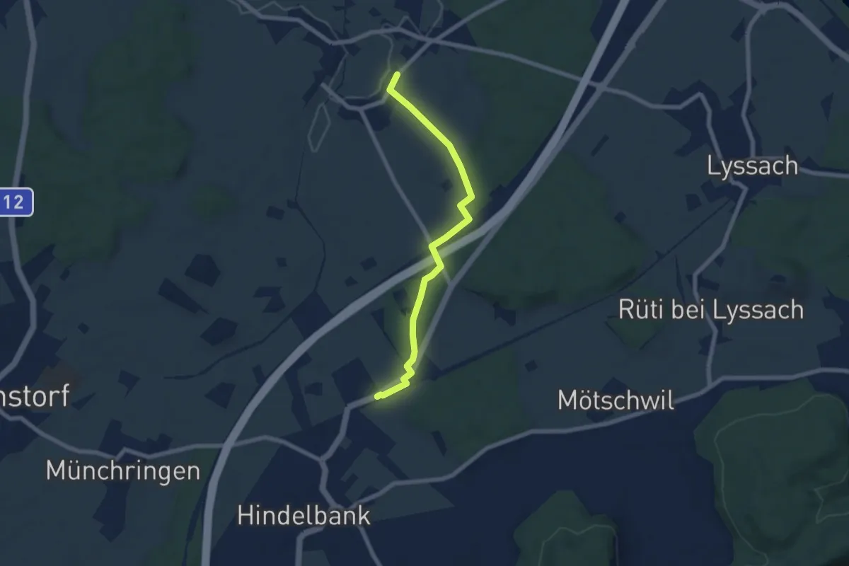
Easy · Trail
Kernenried – Hindelbank / Station
6.2 km · ↑ 32 m · 1 h 32 min · 13 km away
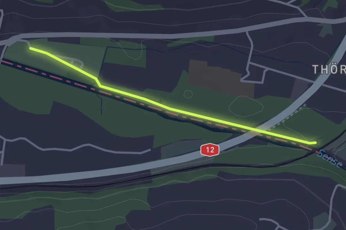
Easy · Trail
Steinerne Brücke – Thörishaus Au
2.8 km · ↑ 22 m · 42 min · 13 km away
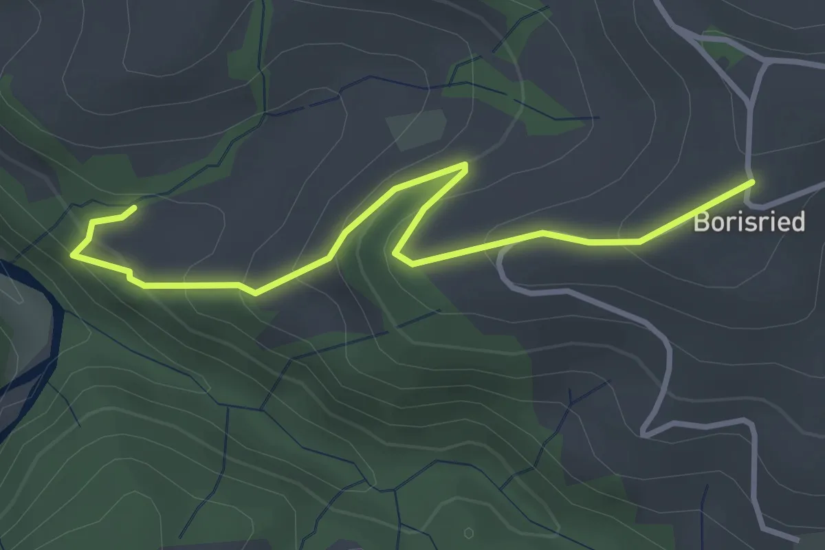
Easy · Trail
Mösli – Borisried
3.4 km · ↑ 227 m · 1 h 17 min · 13 km away
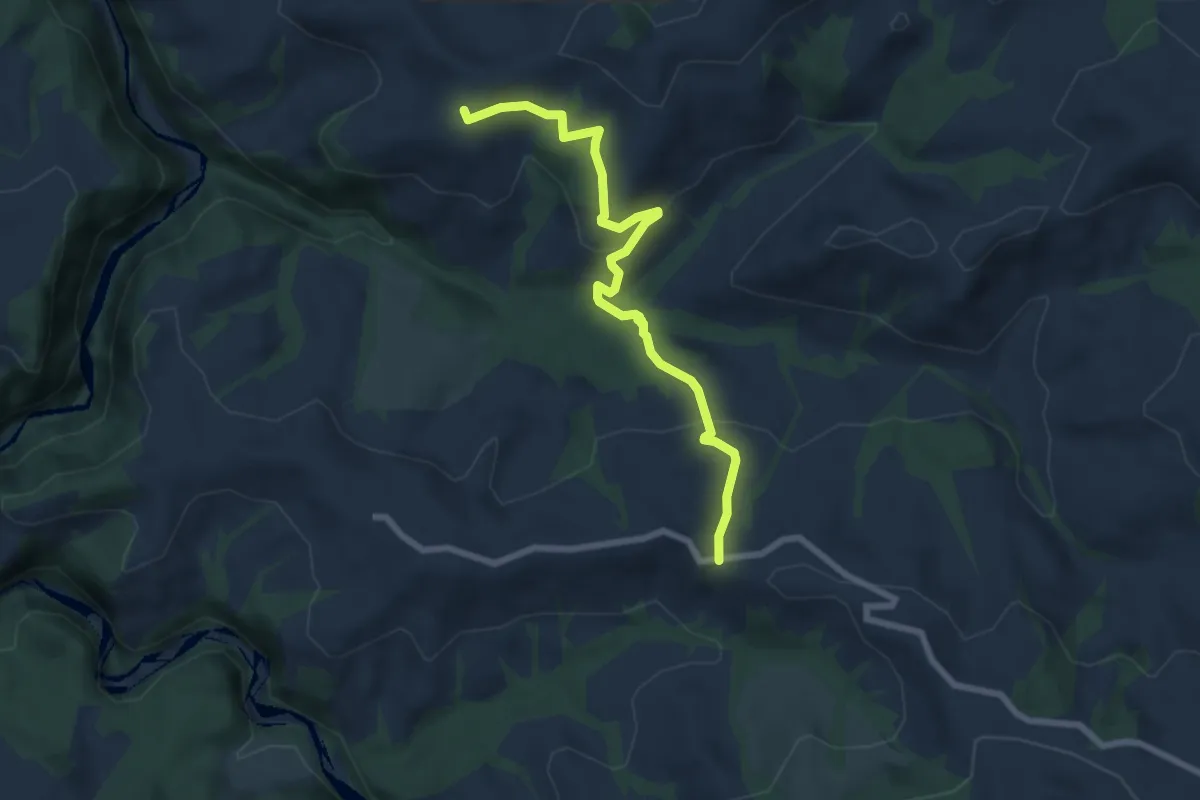
Medium · Trail
Borisried – Vorderfultigen
7.2 km · ↑ 329 m · 2 h 24 min · 13 km away
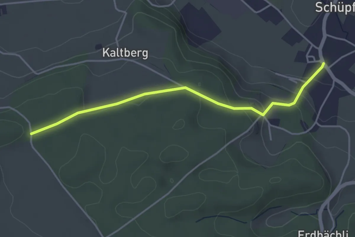
Easy · Trail
Schüpfen – Chappeliegge
3.8 km · ↑ 131 m · 1 h 11 min · 13 km away
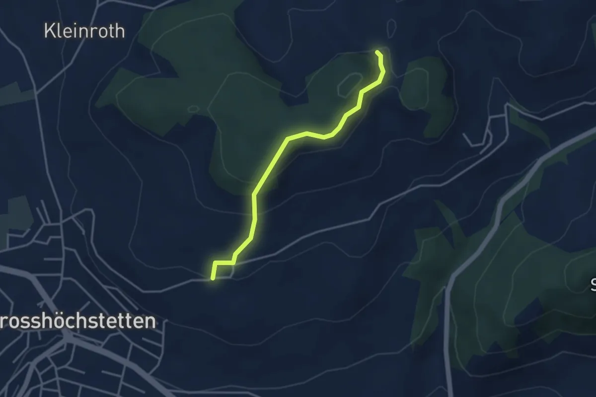
Easy · Trail
Möschberg – Büel
3.0 km · ↑ 156 m · 1 h 3 min · 13 km away
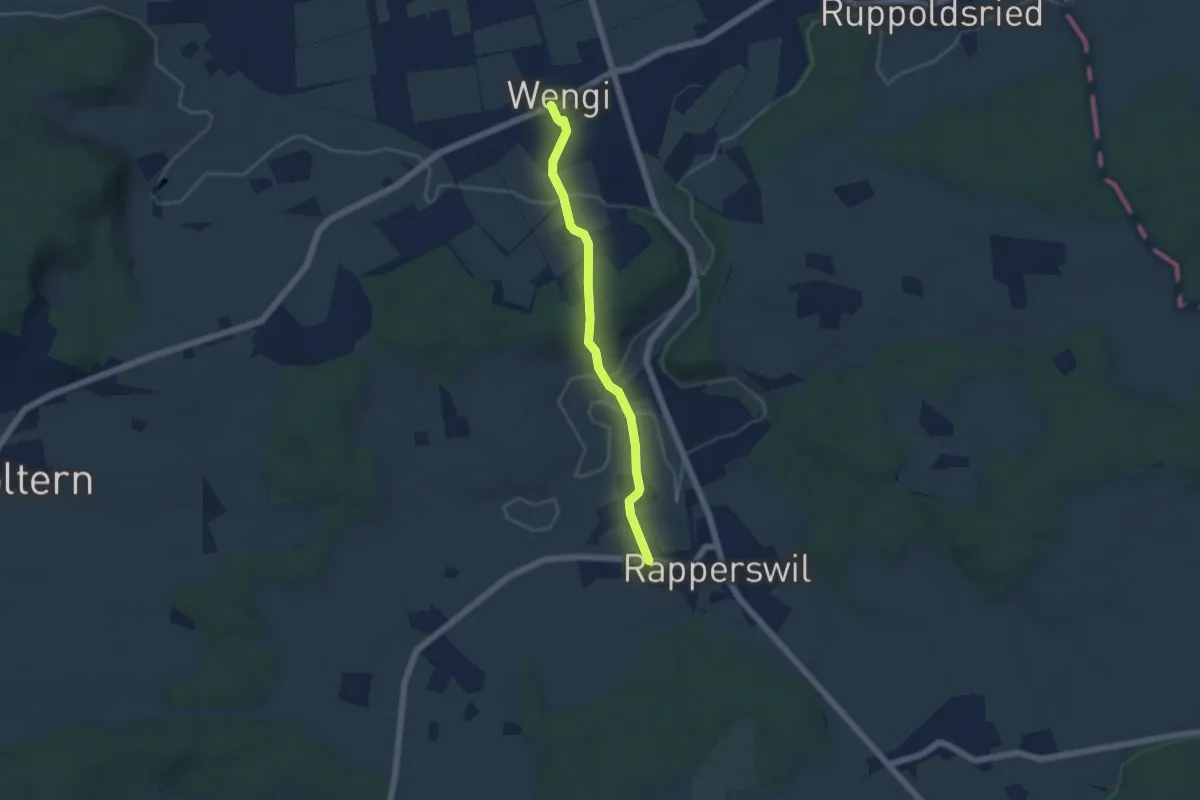
Easy · Trail
Wengi – Rapperswil
4.9 km · ↑ 117 m · 1 h 25 min · 13 km away
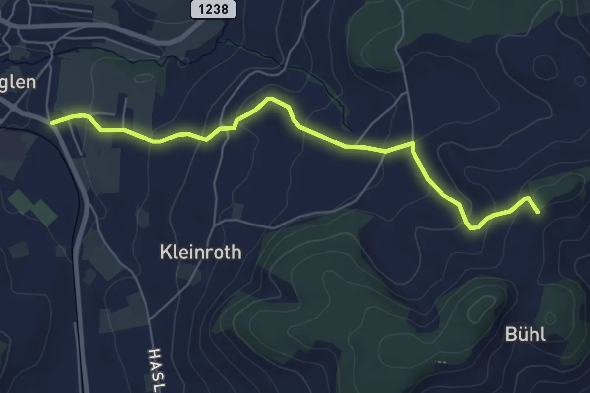
Easy · Trail
Chrutberg – Biglen
5.2 km · ↑ 200 m · 1 h 40 min · 13 km away
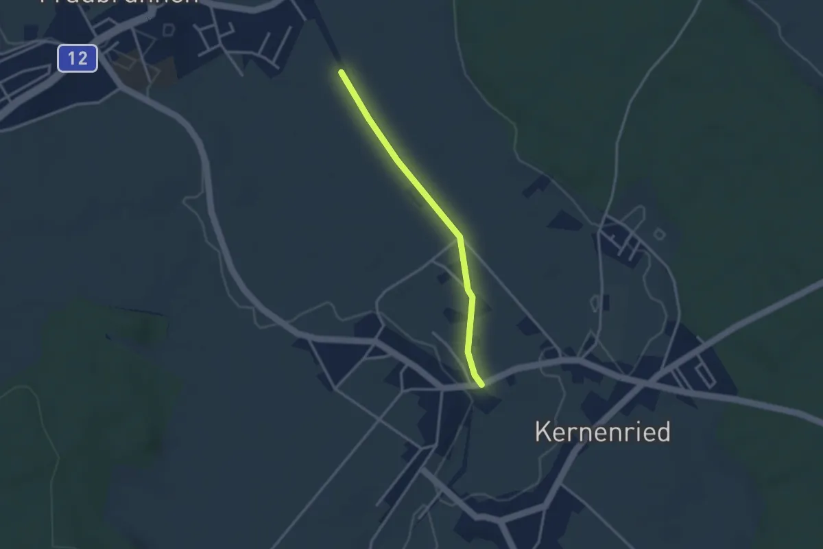
Easy · Trail
Fraubrunnenmoos – Zauggenried
2.6 km · ↑ 4 m · 38 min · 13 km away
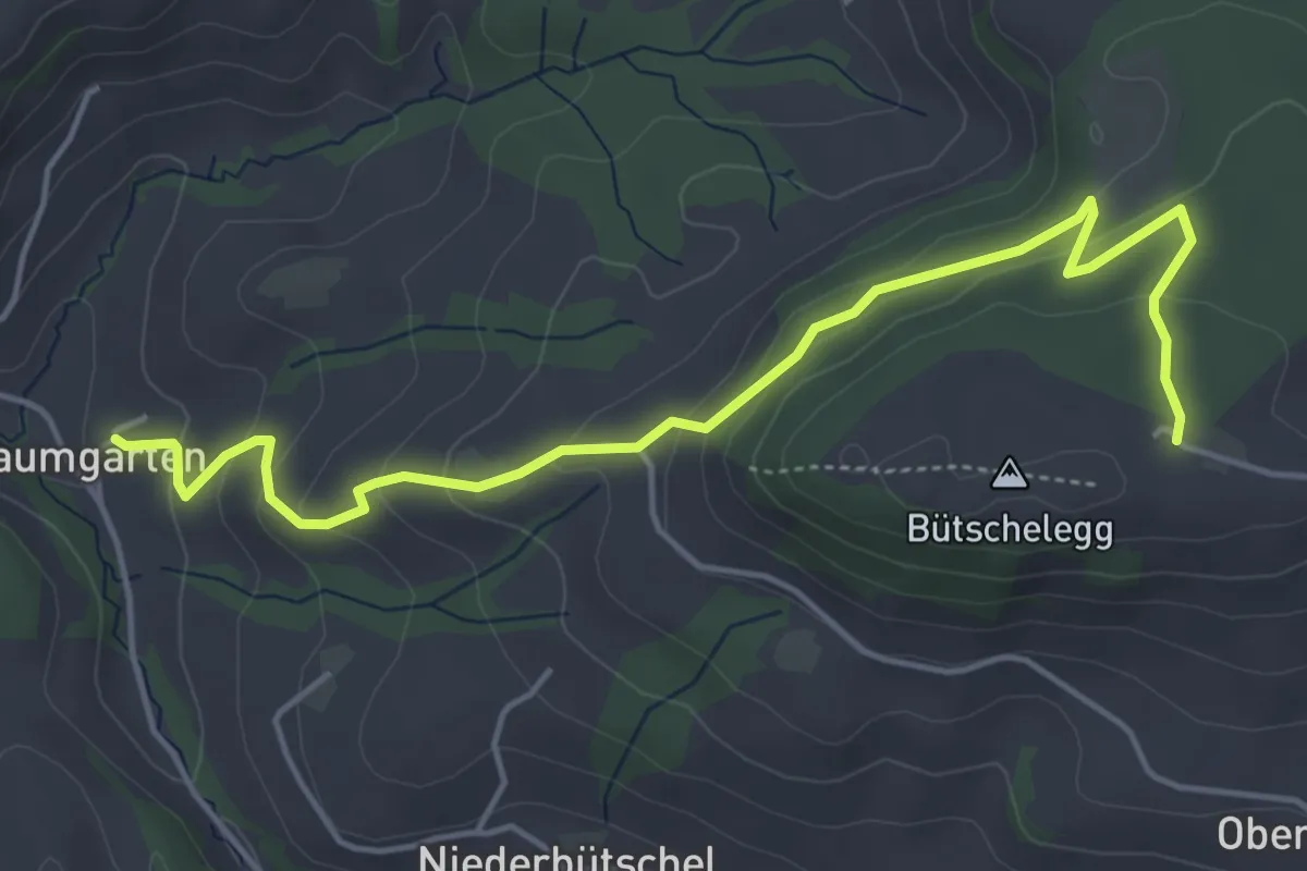
Easy · Trail
Bütschelegg – Baumgarten
5.4 km · ↑ 263 m · 1 h 50 min · 13 km away
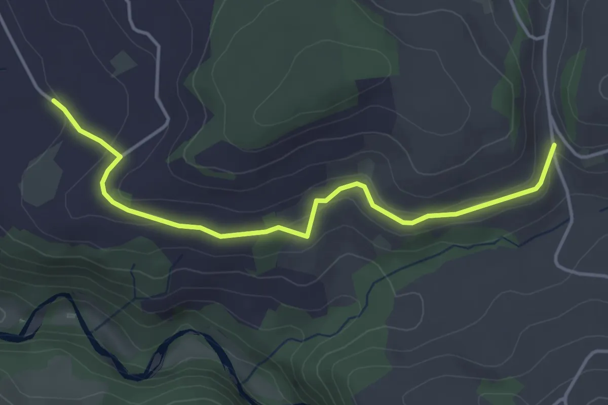
Easy · Trail
Schlatt - Längacher
4.1 km · ↑ 92 m · 1 h 10 min · 13 km away
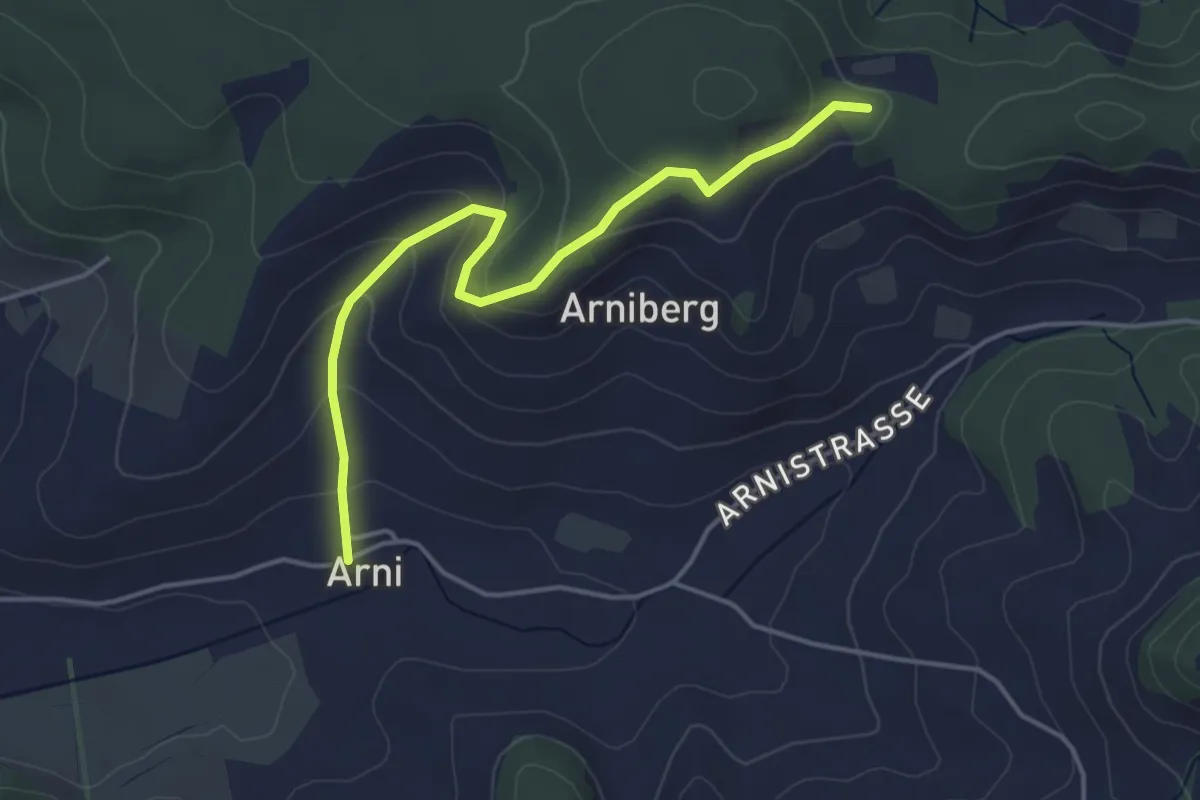
Easy · Trail
Spränzel – Arni
4.2 km · ↑ 213 m · 1 h 28 min · 13 km away
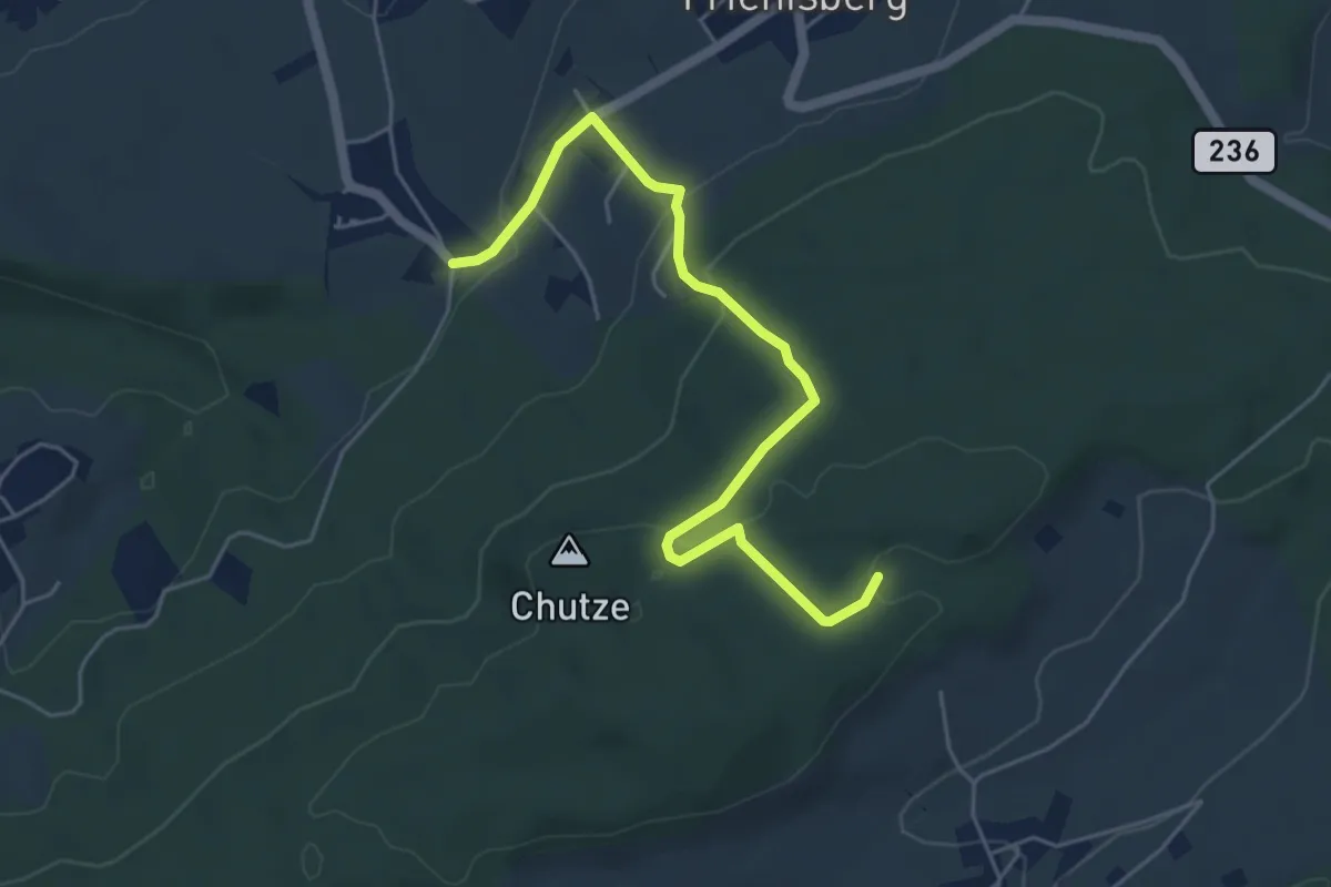
Easy · Trail
Baggwilgraben – Weichel
5.4 km · ↑ 183 m · 1 h 40 min · 13 km away
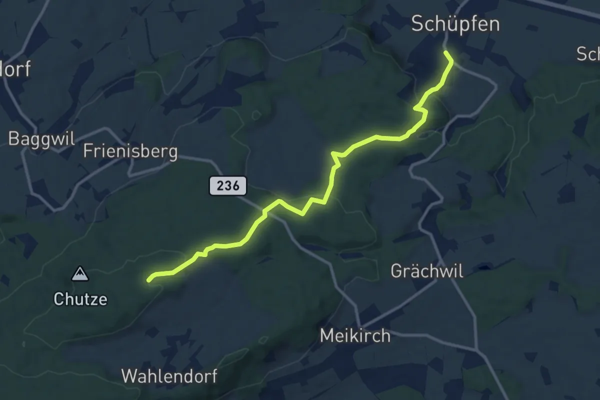
Medium · Trail
Weichel – Schüpfen
10.3 km · ↑ 350 m · 3 h 11 min · 13 km away
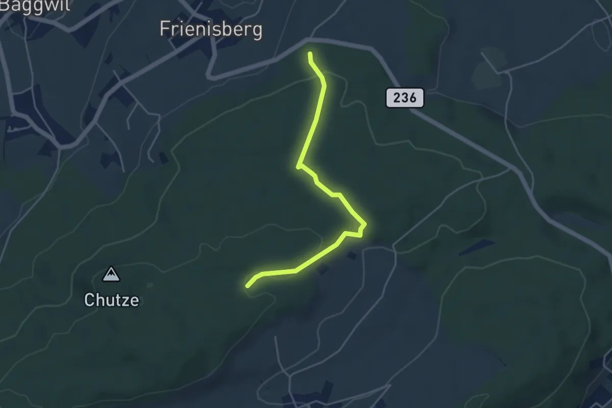
Easy · Trail
Frienisberger – Weichel
3.9 km · ↑ 101 m · 1 h 8 min · 13 km away
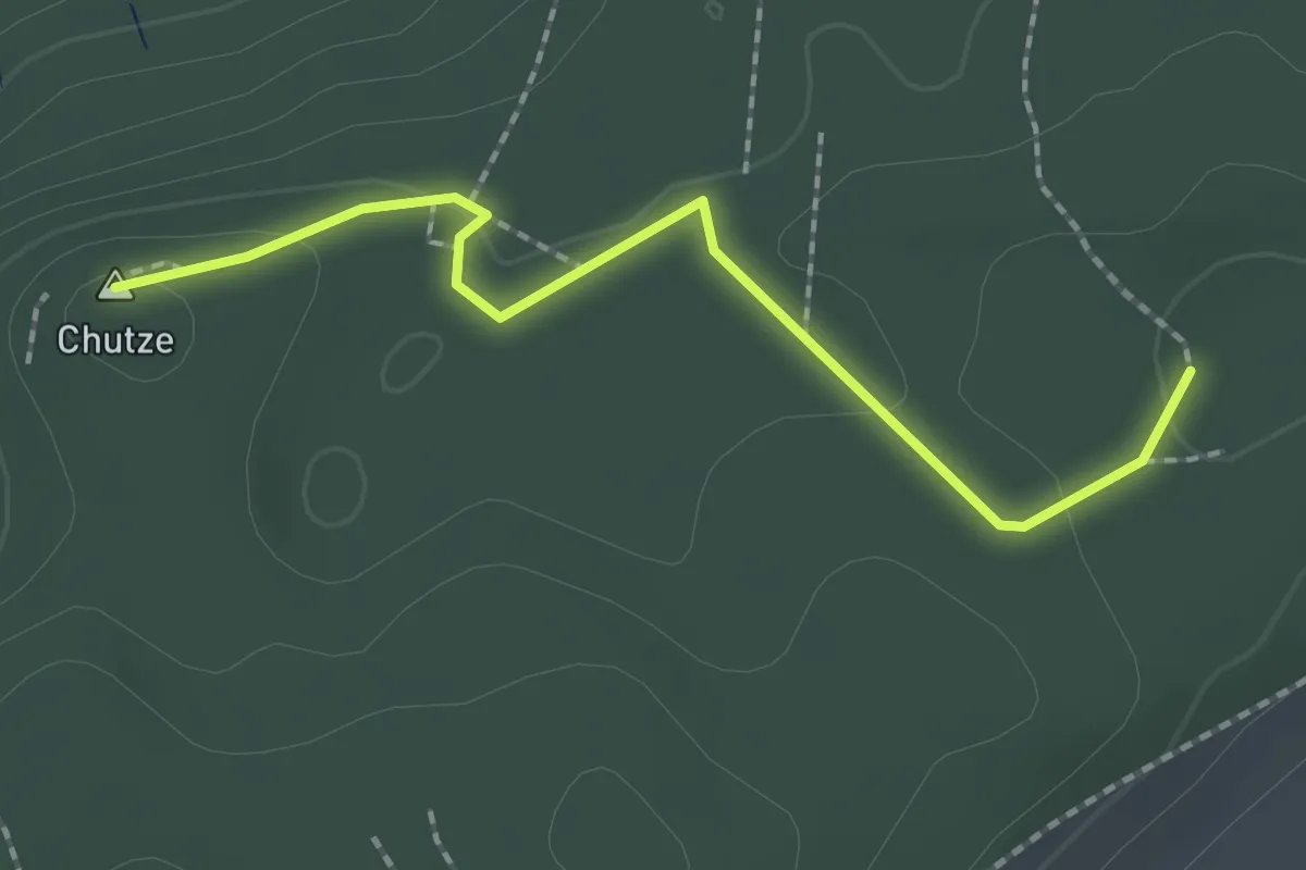
Easy · Summit
Chutzenturm – Weichel
2.0 km · ↑ 36 m · 34 min · 13 km away
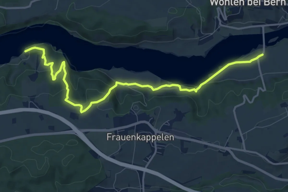
Medium · Trail
Jaggisbachau - Wohlei
10.4 km · ↑ 490 m · 3 h 32 min · 13 km away
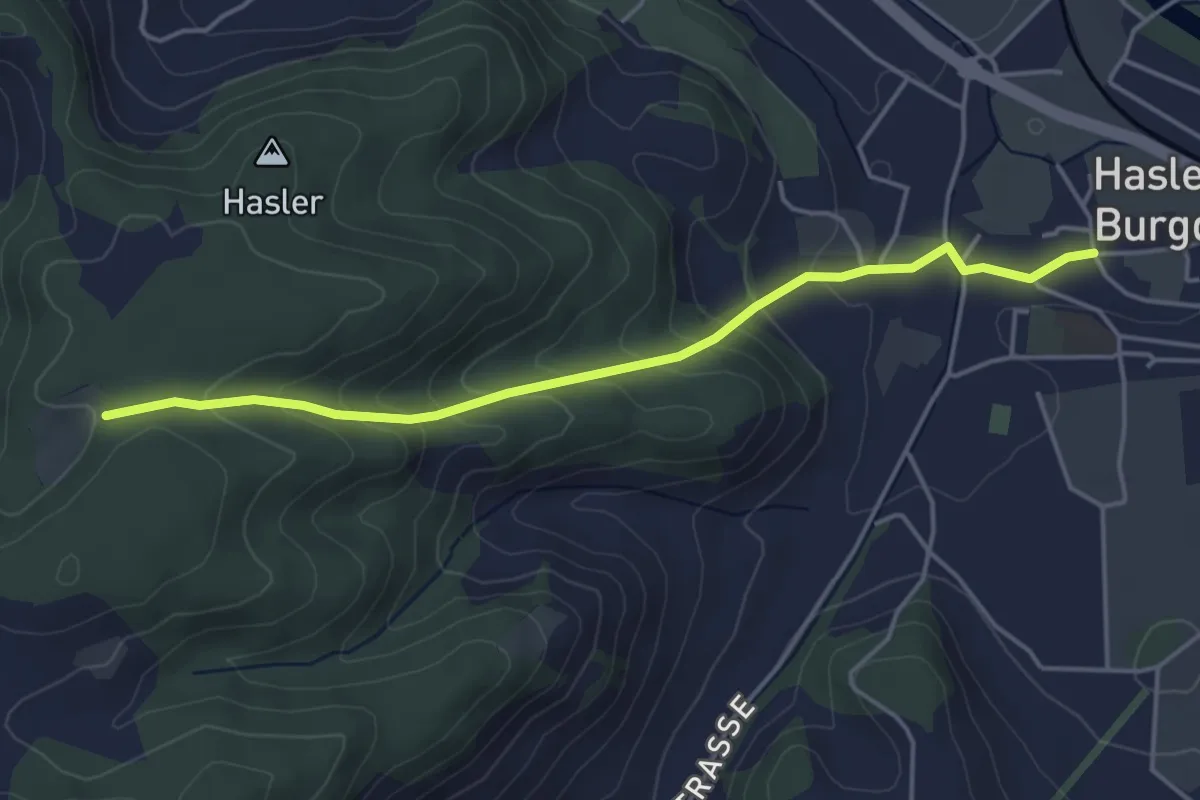
Easy · Trail
Bärgli – Hasle-Rüegsau
4.4 km · ↑ 246 m · 1 h 34 min · 13 km away
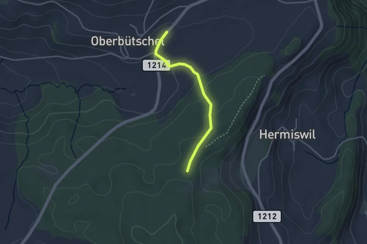
Easy · Trail
Oberbütschel – Taanwald
2.6 km · ↑ 101 m · 50 min · 13 km away
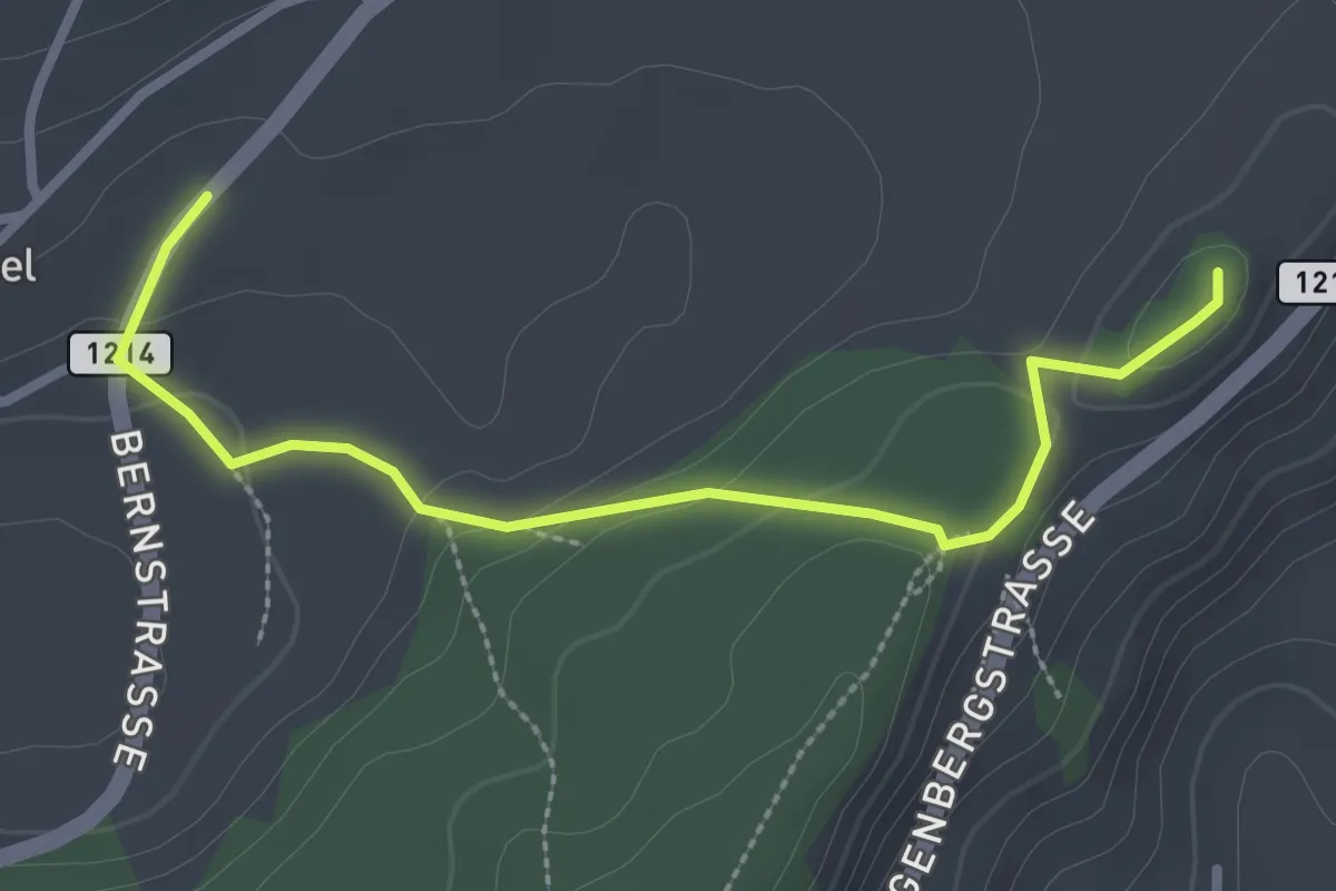
Easy · Summit
Oberbütschel – Tavelgedenkstätte
2.9 km · ↑ 84 m · 52 min · 13 km away
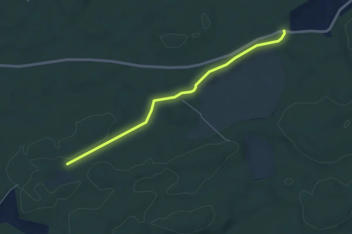
Easy · Trail
Mösli - Fuessacher
4.8 km · ↑ 53 m · 1 h 14 min · 13 km away
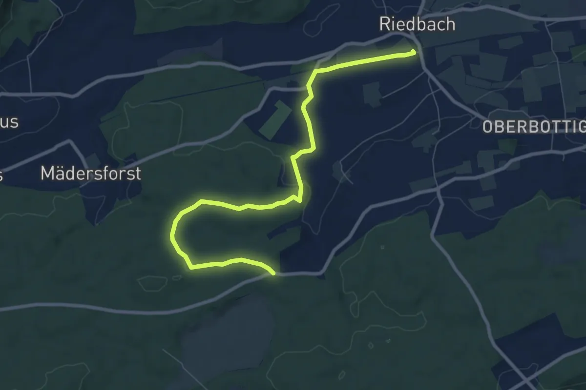
Medium · Trail
Riedbach/Station - Fuessacher
8.6 km · ↑ 147 m · 2 h 21 min · 13 km away
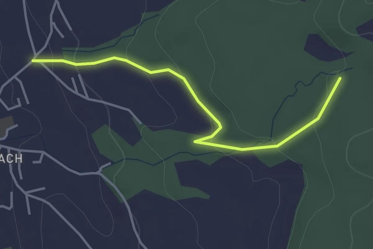
Easy · Trail
Wichtrach/Oberdorf – Rotebüel
3.3 km · ↑ 121 m · 1 h 2 min · 14 km away
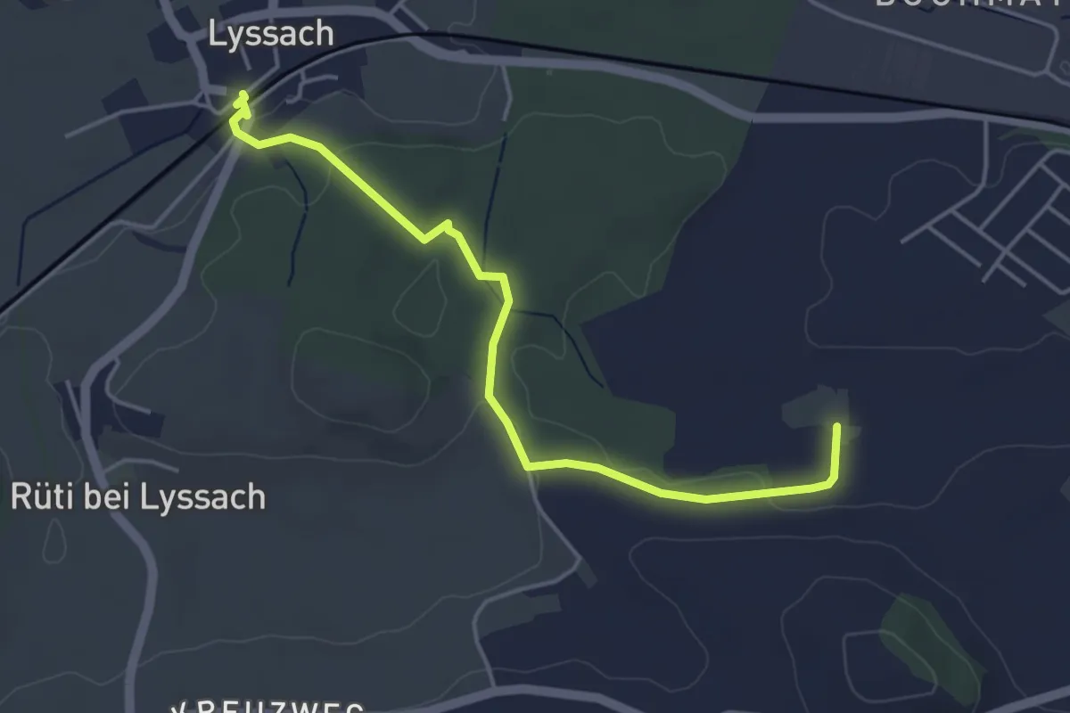
Easy · Trail
Lyssach Station – Meienmoos
4.5 km · ↑ 66 m · 1 h 12 min · 14 km away
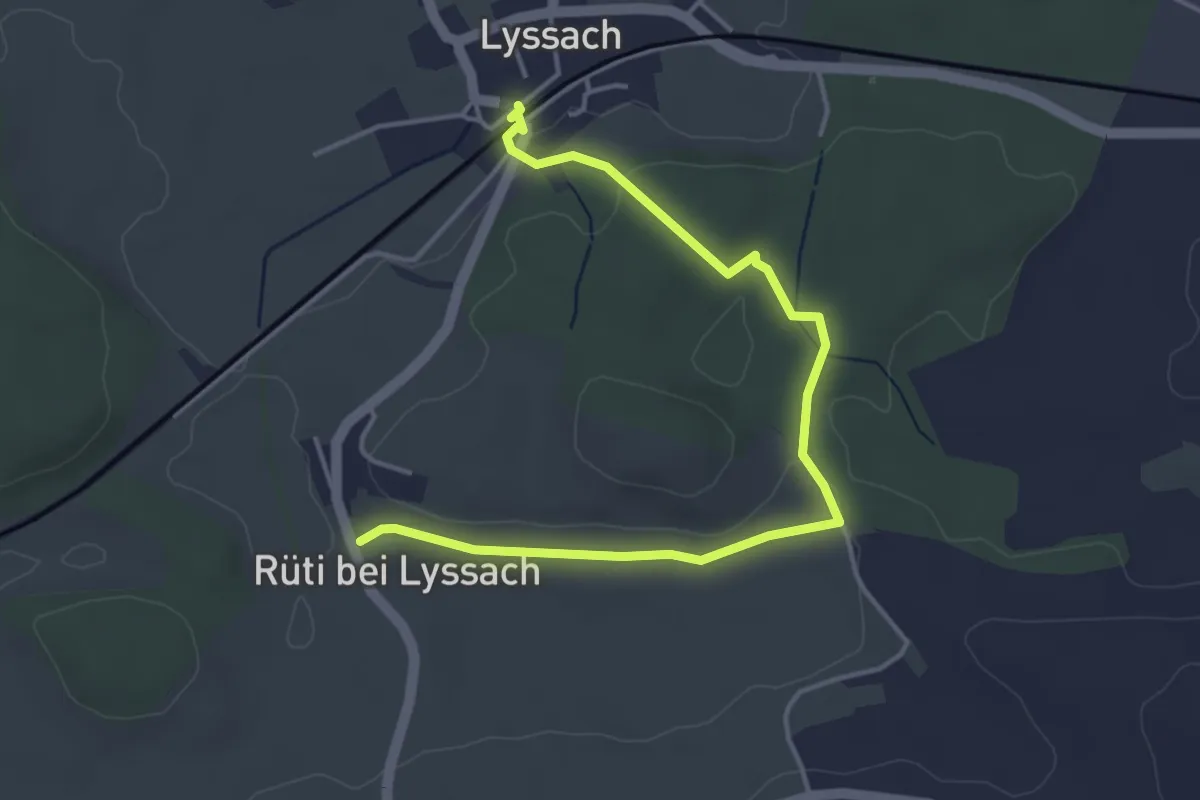
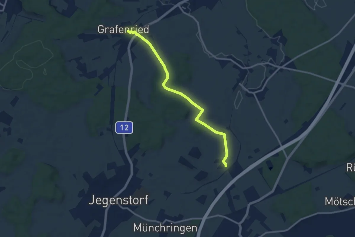
Easy · Trail
Lyssach Station – Rüti bei Lyssach
4.7 km · ↑ 64 m · 1 h 15 min · 14 km away
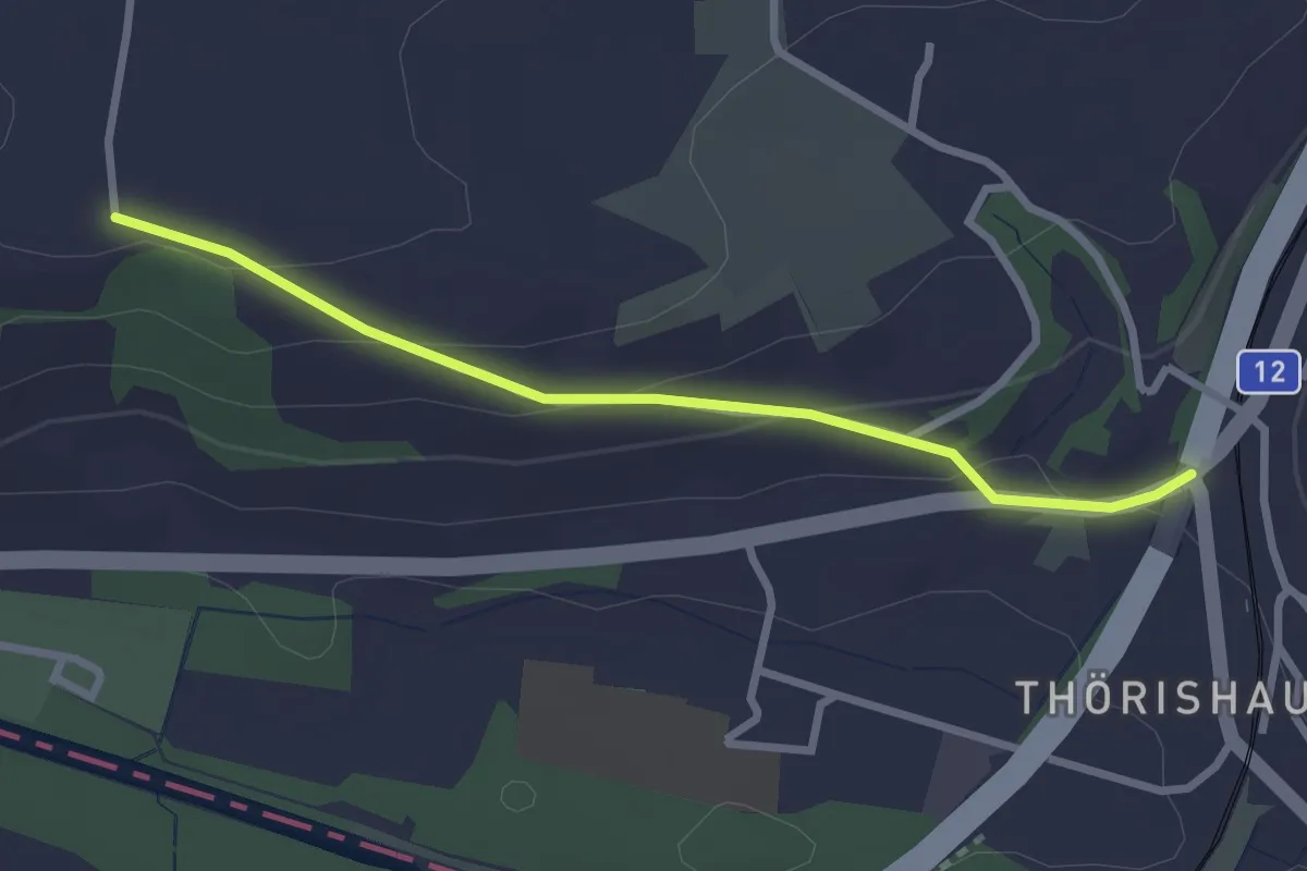
Easy · Trail
Grafenried – Holzmühle
7.9 km · ↑ 115 m · 2 h 7 min · 14 km away
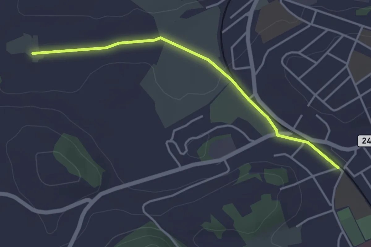
Easy · Trail
Ufem Shoren - Thörishaus
2.6 km · ↑ 85 m · 49 min · 14 km away
Easy · Trail
Meienmoos – Burgdorf/Steinhof
3.4 km · ↑ 13 m · 50 min · 14 km away
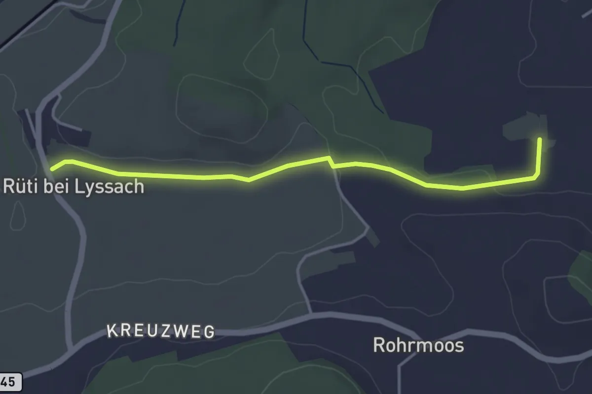
Easy · Trail
Rüti bei Lyssach – Meienmoos
3.7 km · ↑ 28 m · 56 min · 14 km away
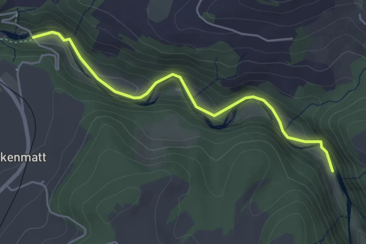
Easy · Trail
Alte Scharzwasserbrücke – Schwarzwassergraben
4.0 km · ↑ 138 m · 1 h 15 min · 14 km away
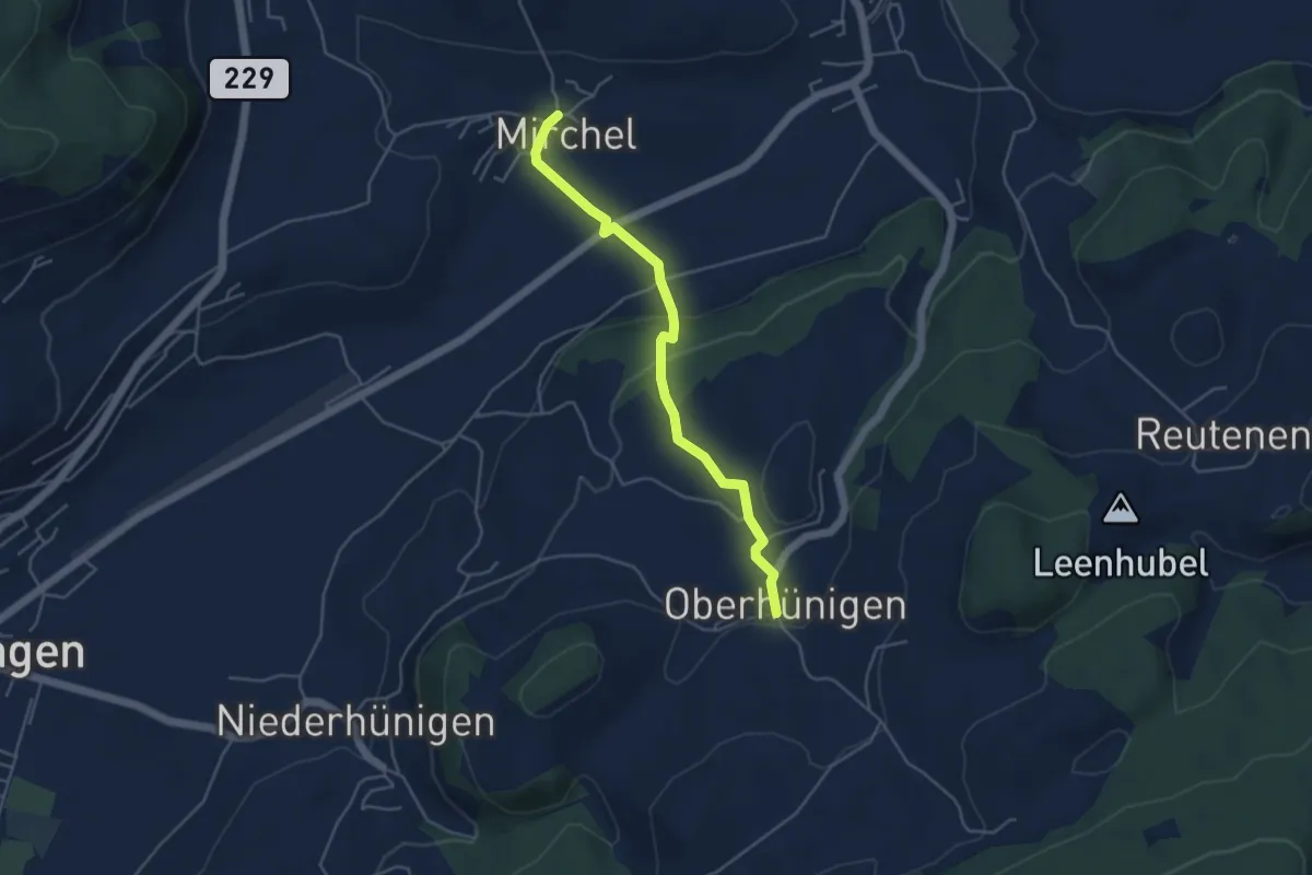
Easy · Trail
Oberhünigen – Mirchel
4.4 km · ↑ 136 m · 1 h 20 min · 14 km away
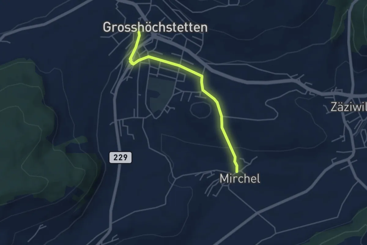
Easy · Trail
Grosshöchstetten – Mirchel
3.9 km · ↑ 89 m · 1 h 7 min · 14 km away
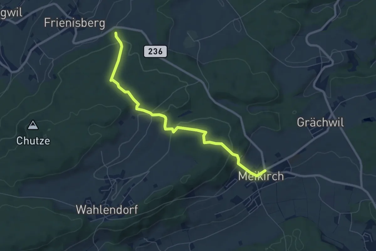
Easy · Trail
Meikrich – Frienisberg
7.1 km · ↑ 272 m · 2 h 16 min · 14 km away
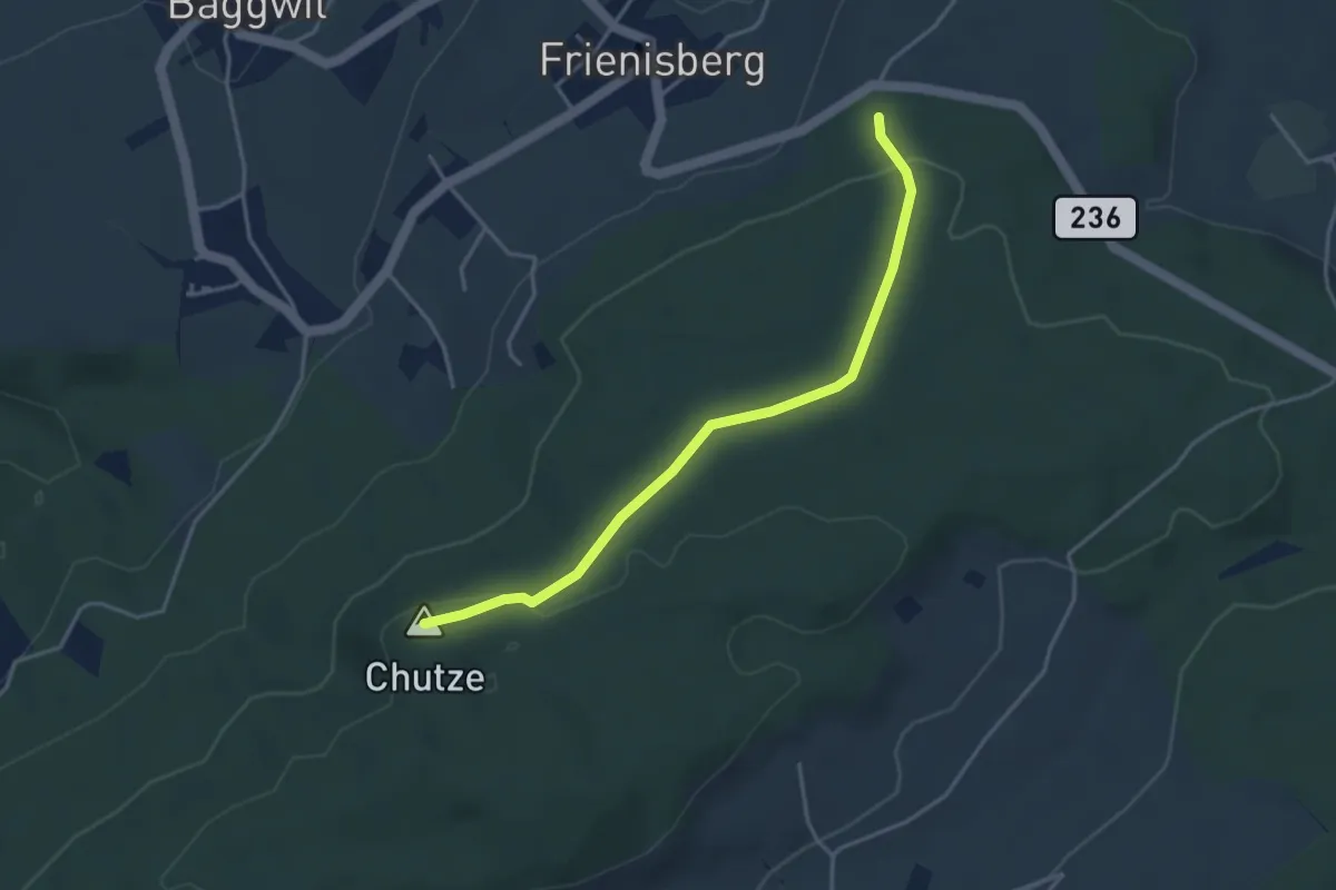
Easy · Summit
Chutzenturm – Frienisberger
3.8 km · ↑ 78 m · 1 h 4 min · 14 km away
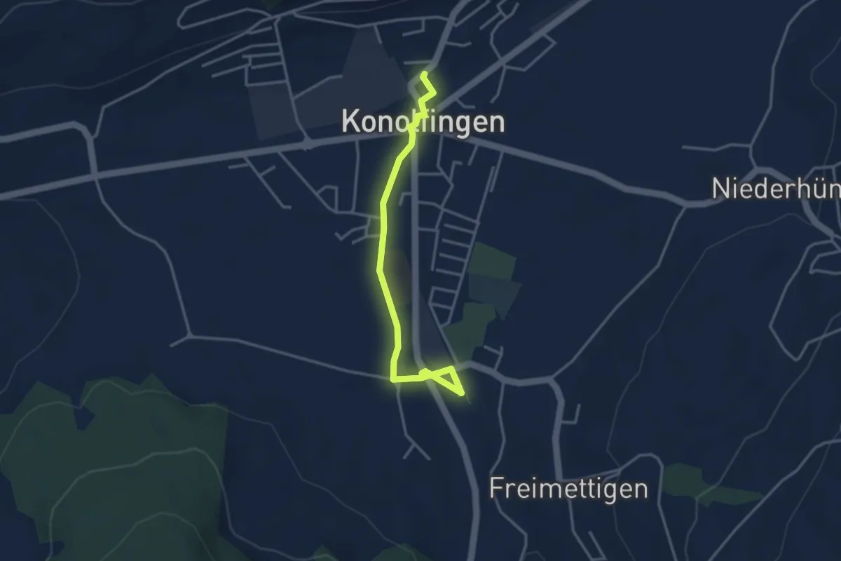
Easy · Trail
Stalden i. E. – Konolfingen
3.3 km · ↑ 23 m · 50 min · 14 km away
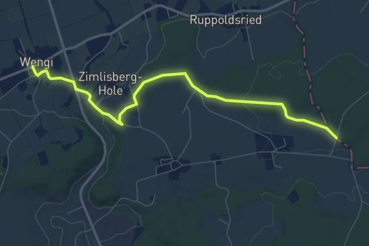
Easy · Trail
Messen Junkholz – Wengi
7.7 km · ↑ 108 m · 2 h 4 min · 14 km away
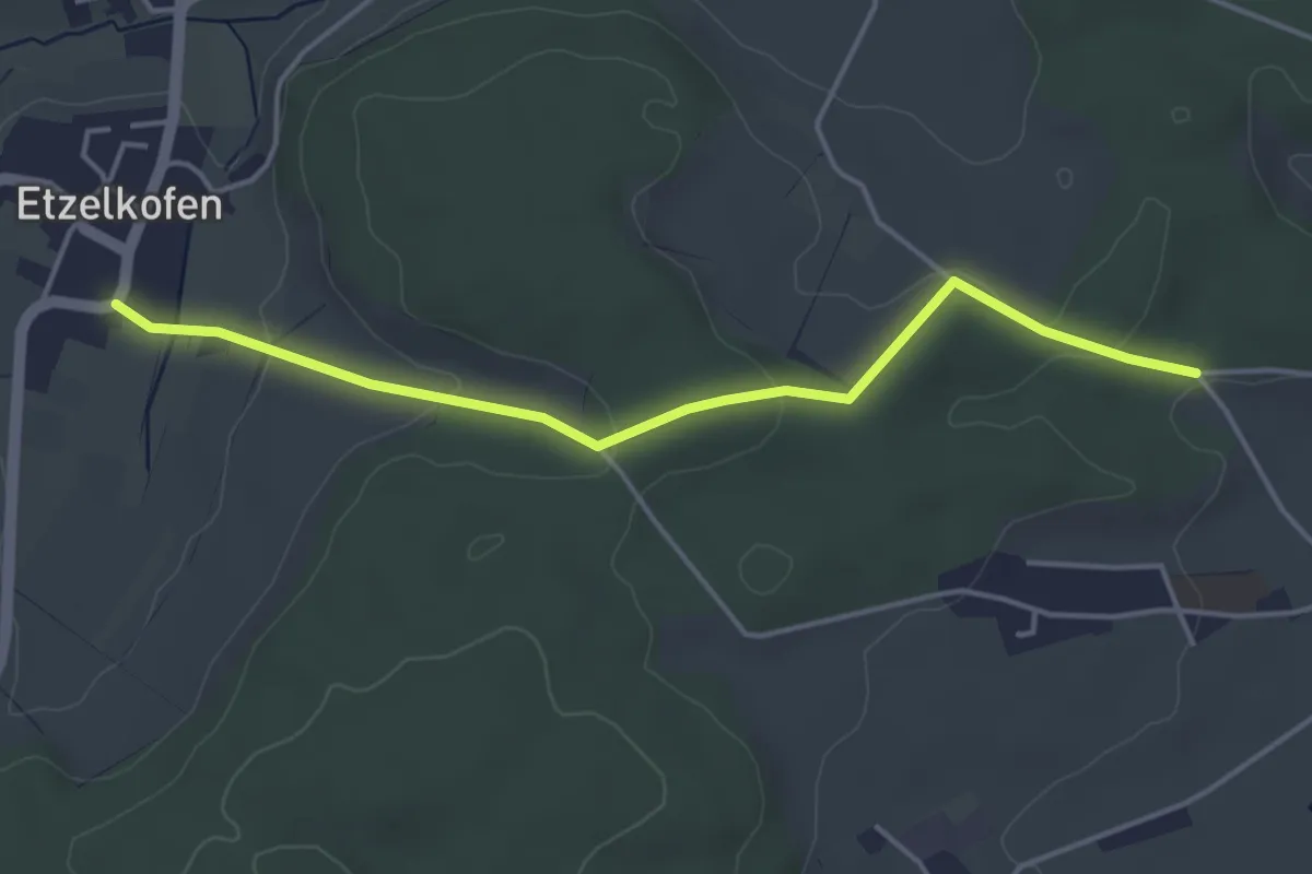
Easy · Trail
Etzelkofen – Vorder Eichsberg
4.3 km · ↑ 107 m · 1 h 14 min · 14 km away
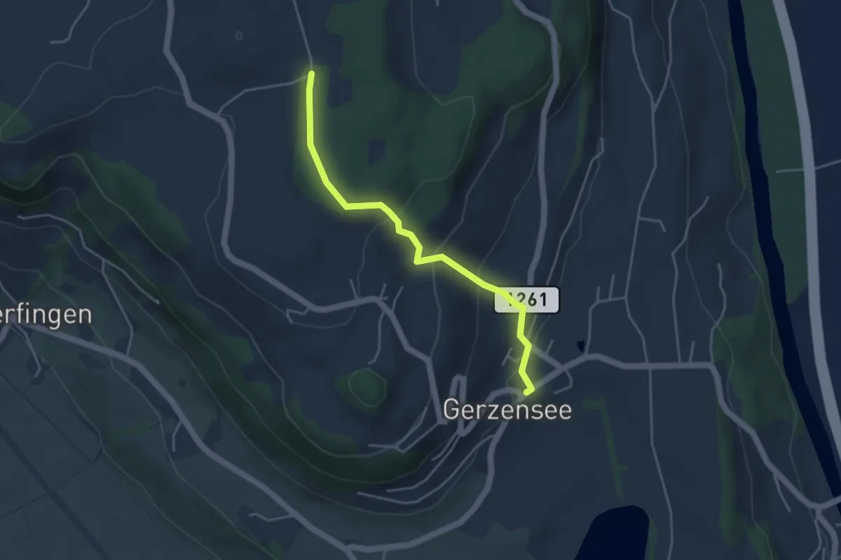
Easy · Trail
Nessleren - Gerzensee
3.8 km · ↑ 223 m · 1 h 23 min · 14 km away
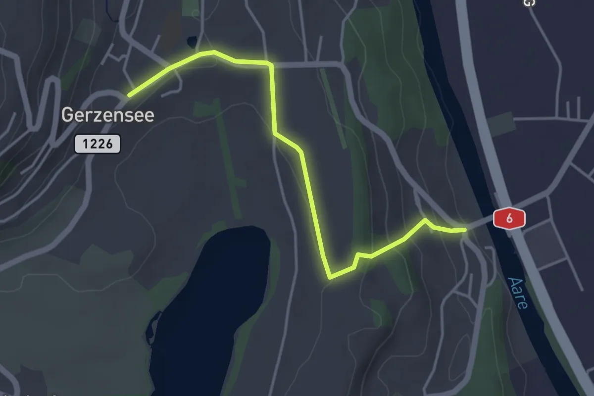
Easy · Trail
Gerzensee - Thalgutbrücke
3.9 km · ↑ 130 m · 1 h 12 min · 14 km away
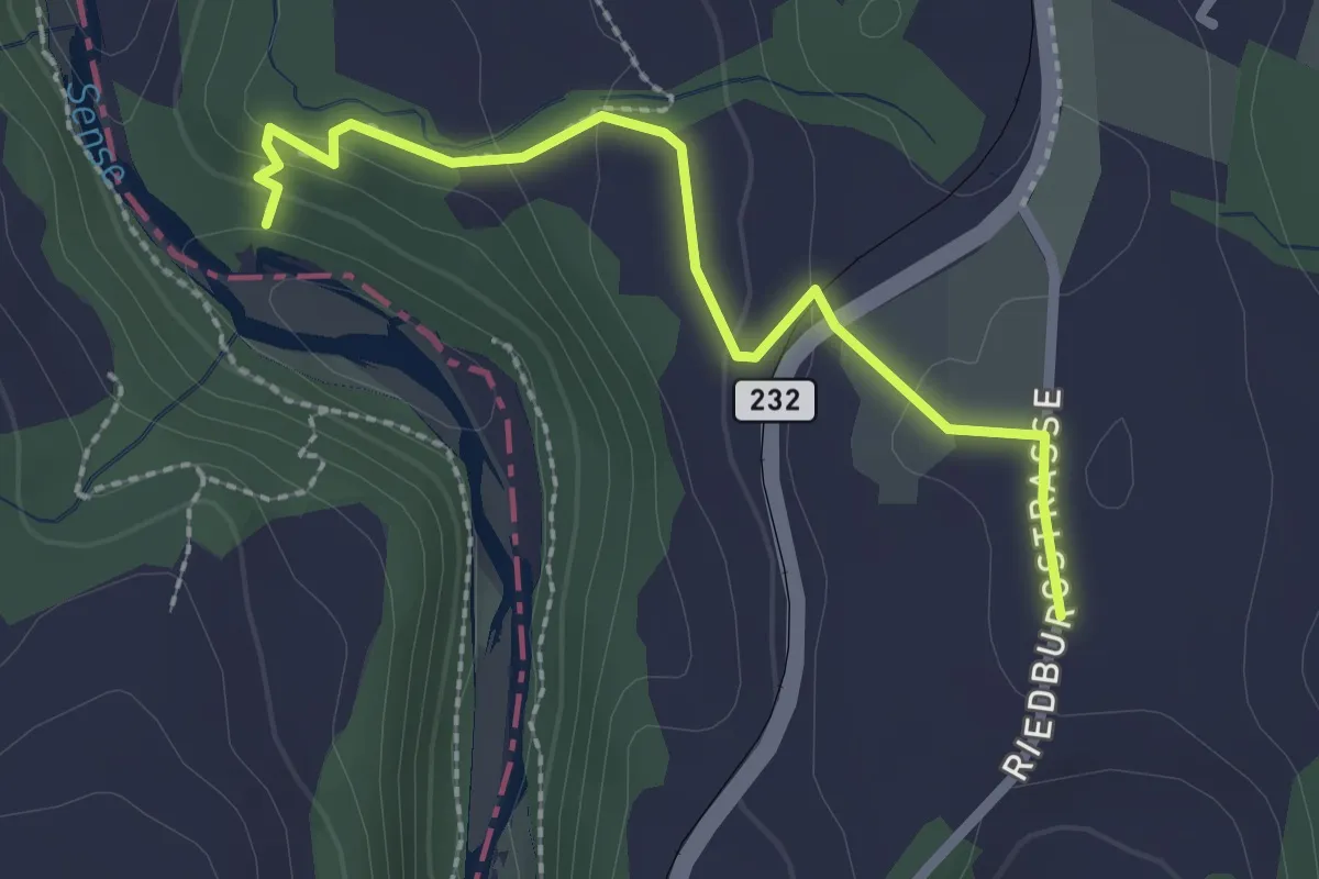
Easy · Trail
Sensegraben (Büffel) - Riedburg
2.4 km · ↑ 75 m · 44 min · 14 km away