Trails near Ostermundigen
488 hikes starting within 15 km, nearest first.
Nearest first, page 8 of 11
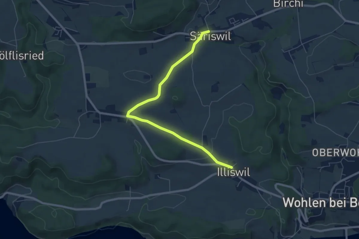
Easy · Trail
Säriswil – Illiswil
6.6 km · ↑ 97 m · 1 h 46 min · 12 km away
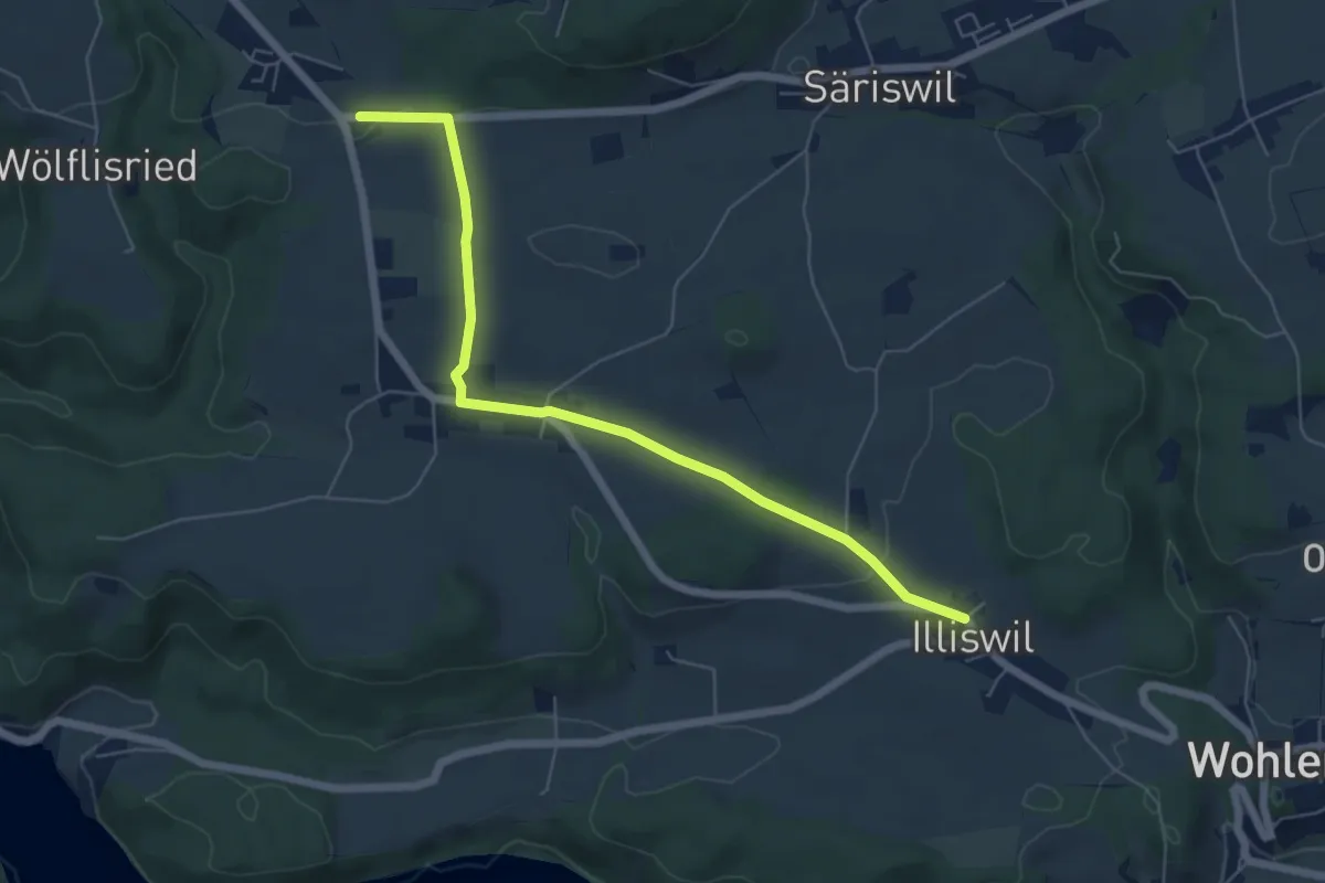
Easy · Trail
Illiswil – Weiermatt
6.3 km · ↑ 110 m · 1 h 44 min · 12 km away
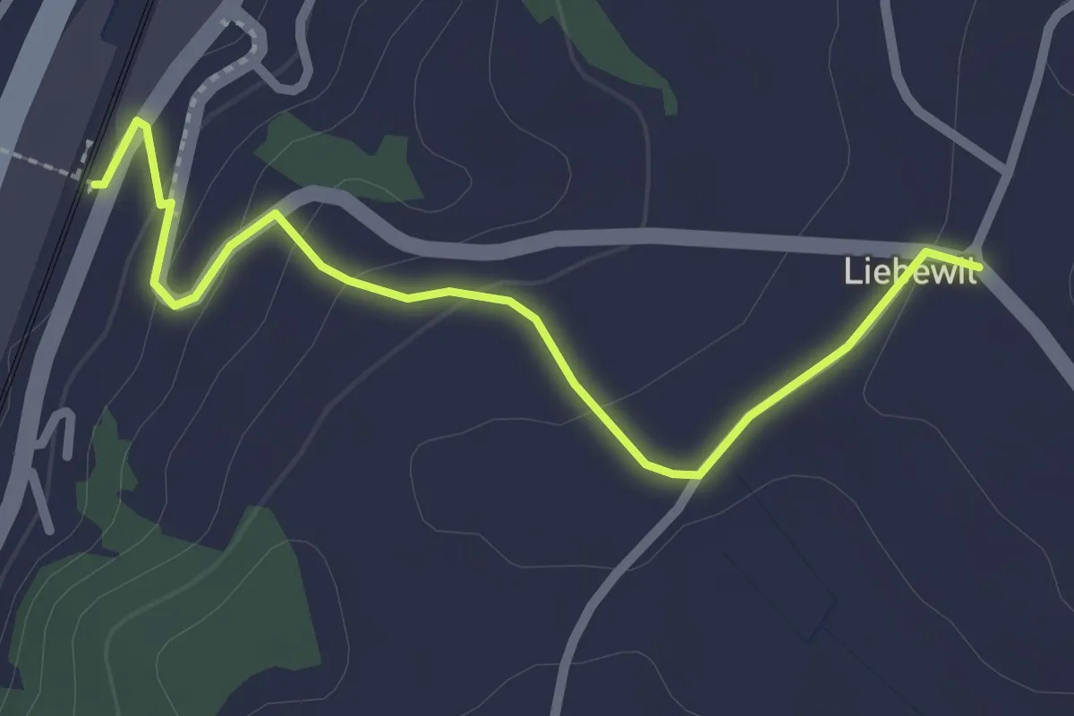
Easy · Trail
Liebewil - Thörishaus Station
2.5 km · ↑ 82 m · 46 min · 12 km away
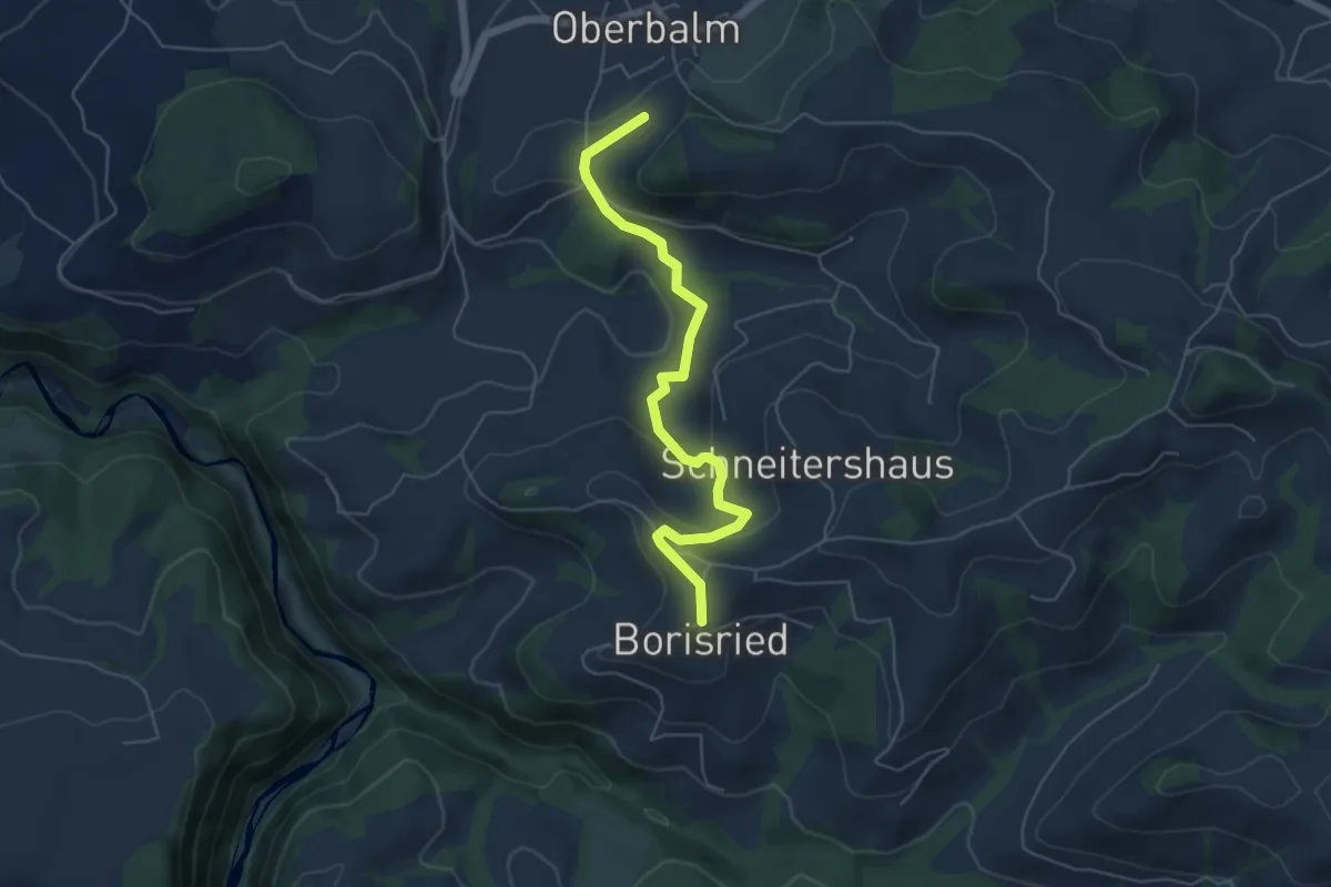
Easy · Trail
Boriswil – Oberbalm/Kirchweg
5.5 km · ↑ 195 m · 1 h 43 min · 12 km away
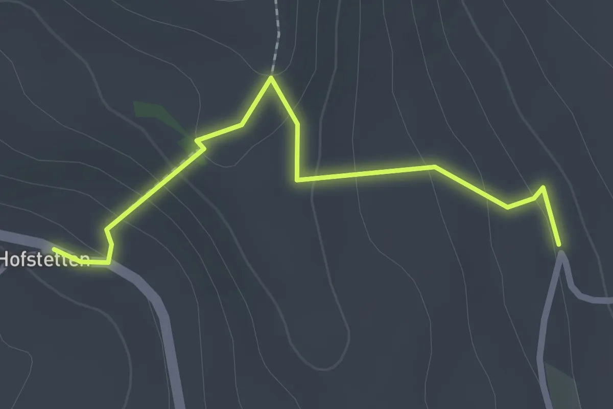
Easy · Trail
Hostete - Simmlere
2.1 km · ↑ 121 m · 45 min · 12 km away
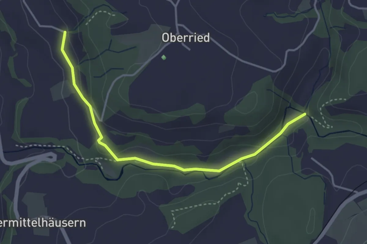
Easy · Trail
Grabenmüli - Grafenried
3.7 km · ↑ 75 m · 1 h 2 min · 12 km away
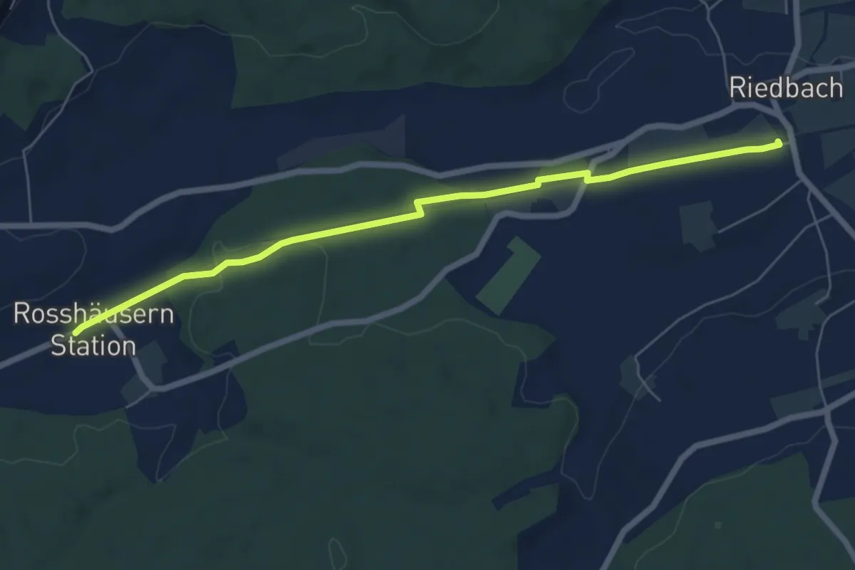
Easy · Trail
Rosshäusern/Station - Riedbach/Station
6.4 km · ↑ 72 m · 1 h 40 min · 12 km away
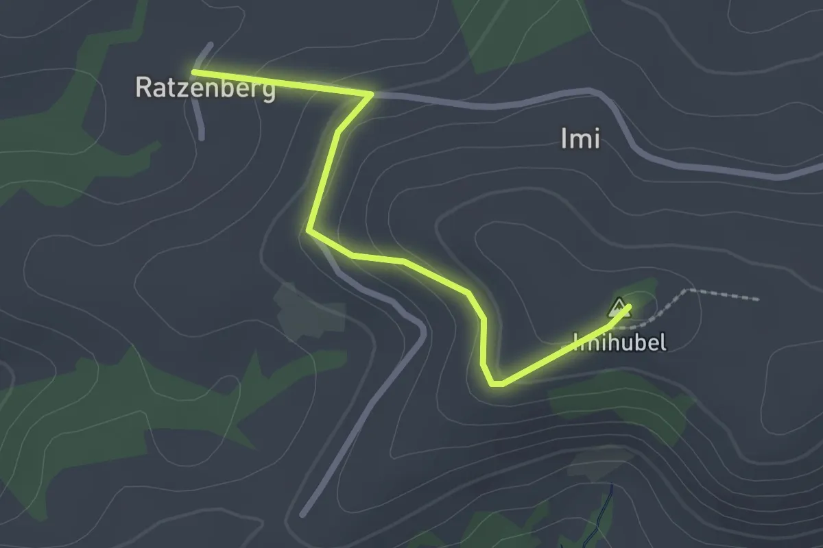
Easy · Summit
Ratzenberg - Imihubel
2.2 km · ↑ 97 m · 44 min · 12 km away
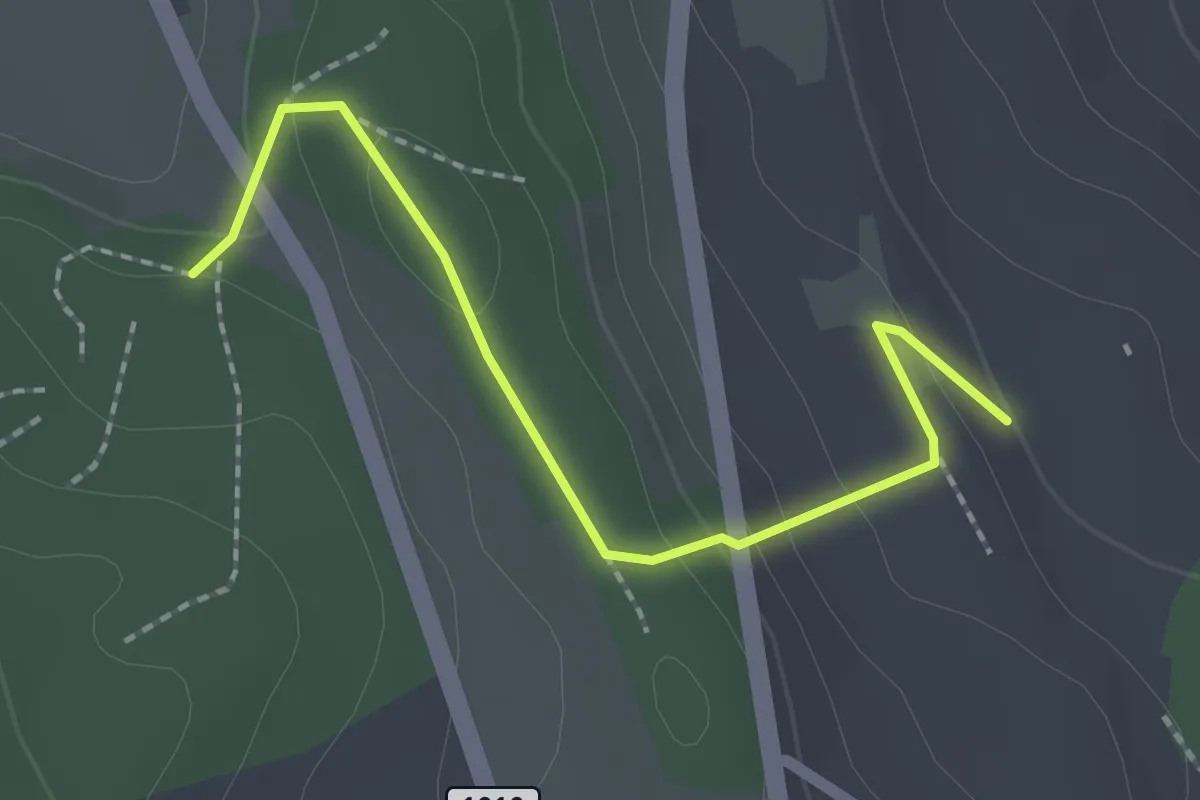
Easy · Trail
Rattenholz - Oberfeld
2.1 km · ↑ 70 m · 39 min · 12 km away
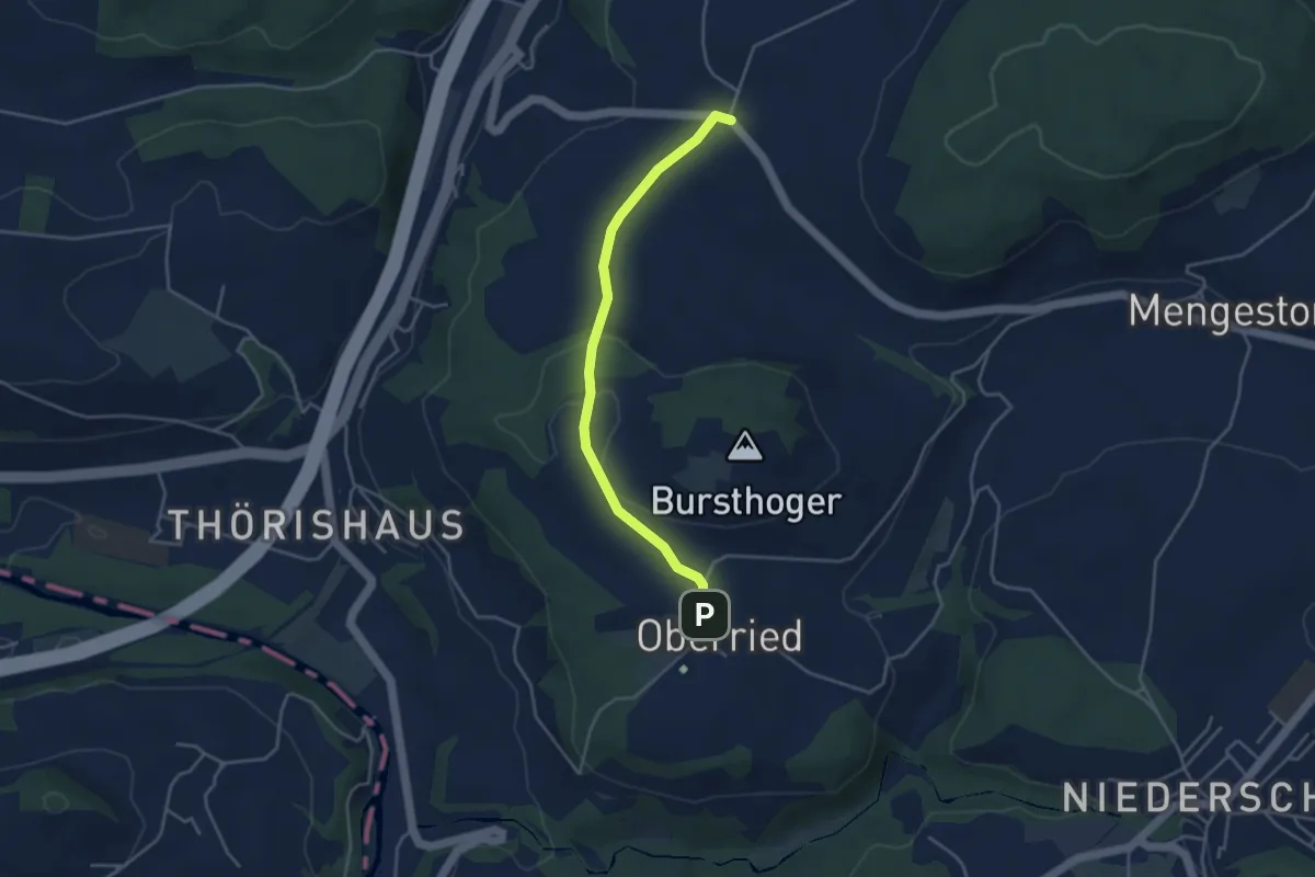
Easy · Trail
Oberried - Liebewil
3.8 km · ↑ 62 m · 1 h 2 min · 12 km away
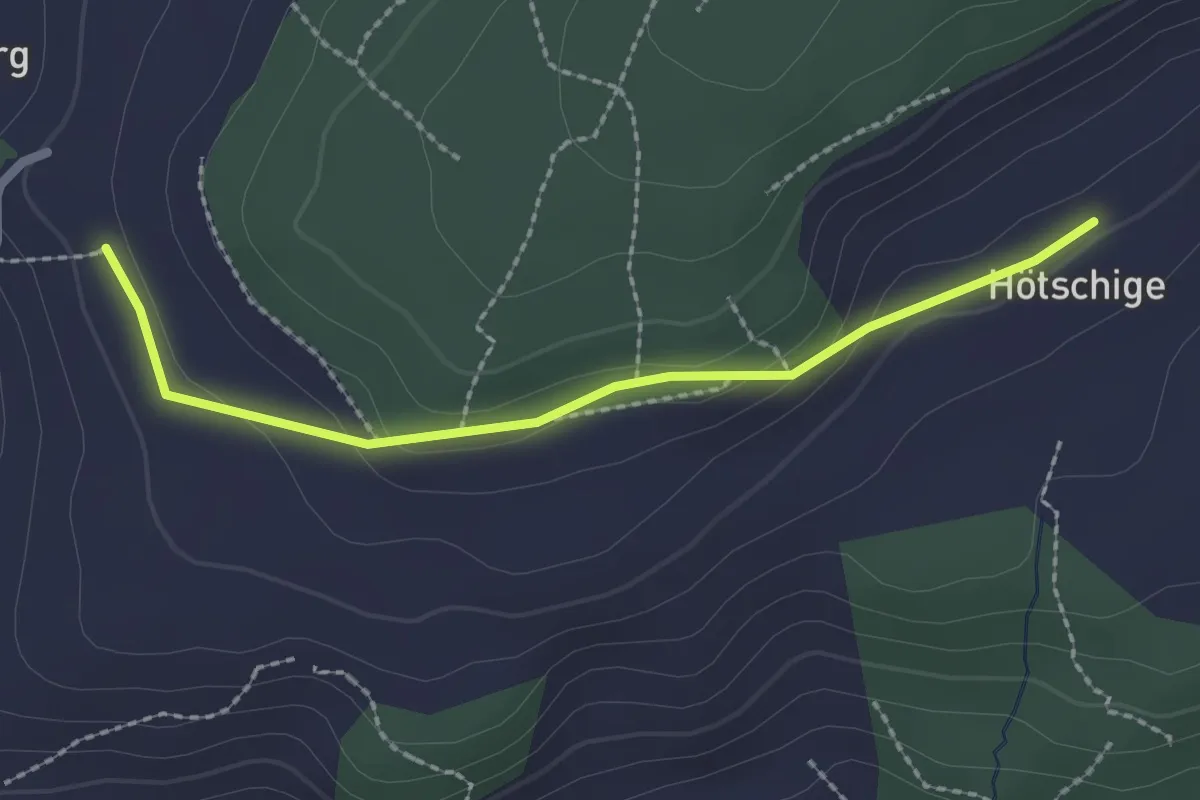
Easy · Trail
Ballenbüel – Ober Hötschige
2.2 km · ↑ 55 m · 38 min · 12 km away
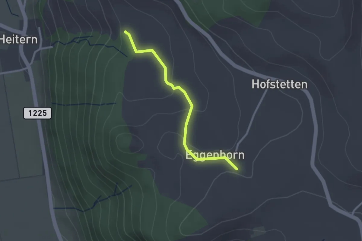
Easy · Trail
Schlatt - Chieffere
2.3 km · ↑ 73 m · 41 min · 12 km away
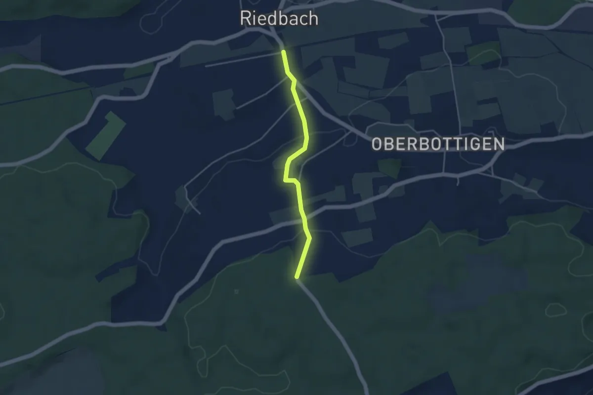
Easy · Trail
Riedbach/Station - Holzeggen
3.3 km · ↑ 93 m · 59 min · 12 km away
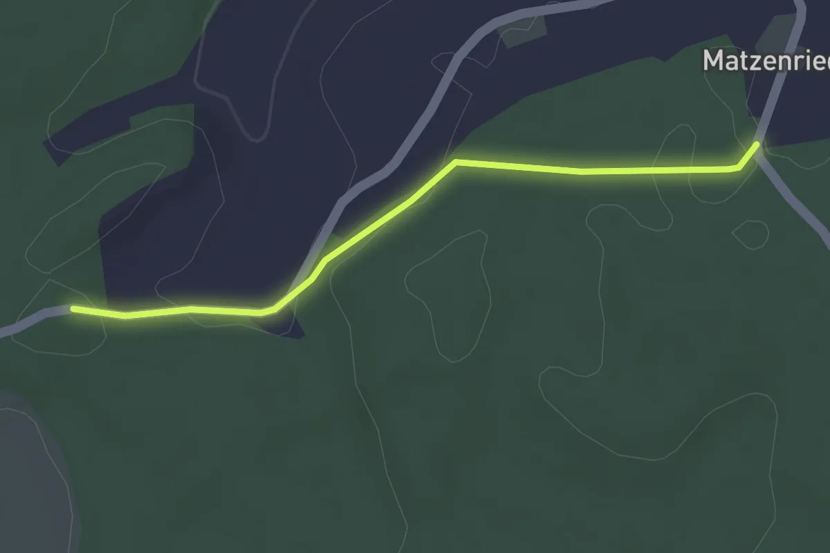
Easy · Trail
Holzeggen - Fuessacher
2.8 km · ↑ 63 m · 48 min · 12 km away
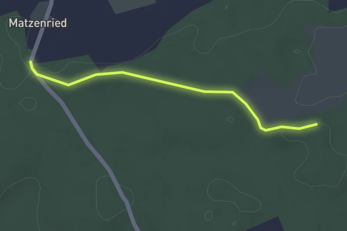
Easy · Trail
Holzeggen - Ried
2.6 km · ↑ 19 m · 39 min · 12 km away
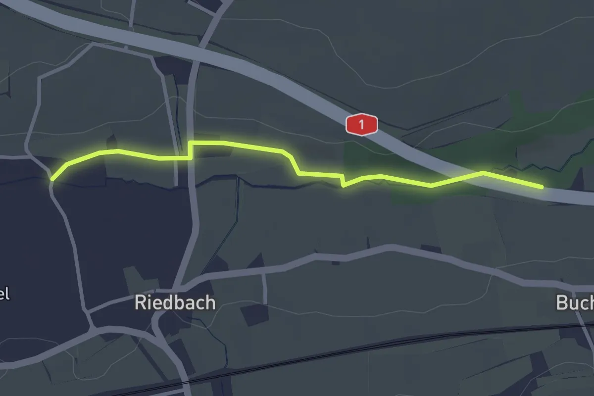
Easy · Trail
Autobahnviadukt - Riedbach/Mühle
2.8 km · ↑ 8 m · 41 min · 12 km away
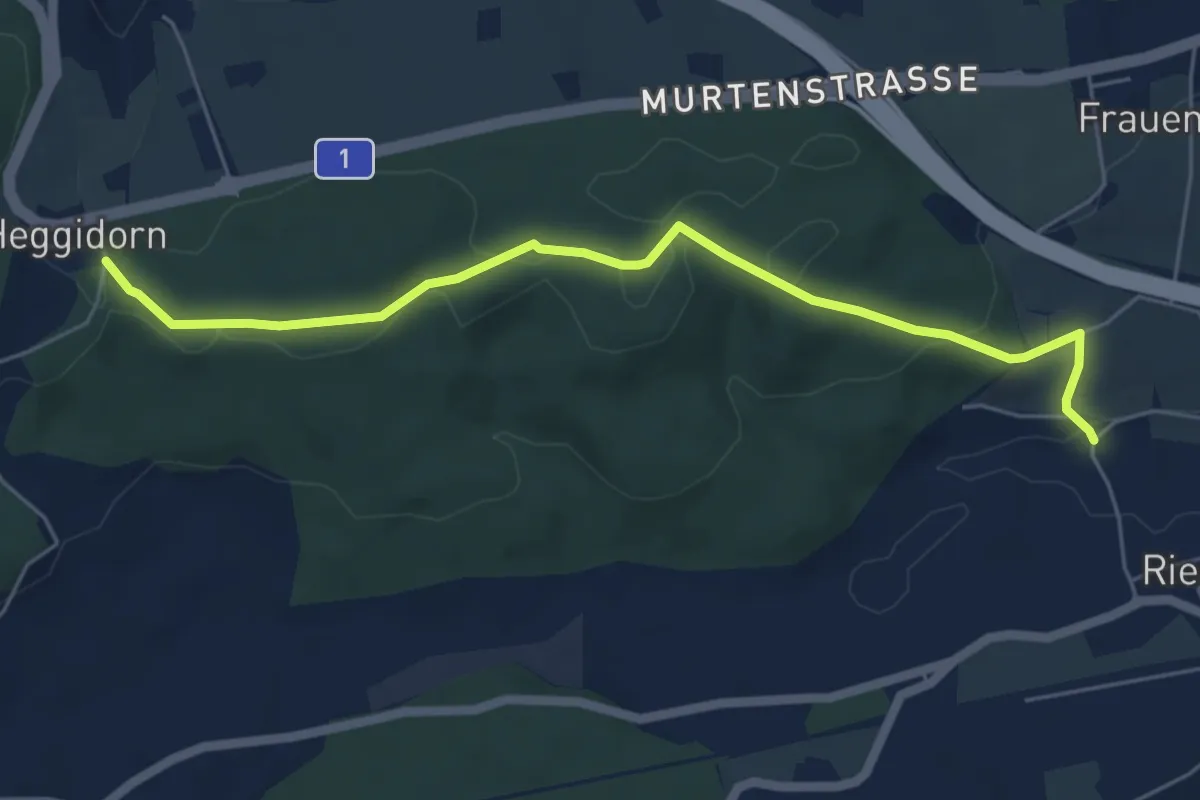
Easy · Trail
Heggidorn - Riedbach/Mühle
5.9 km · ↑ 125 m · 1 h 40 min · 12 km away
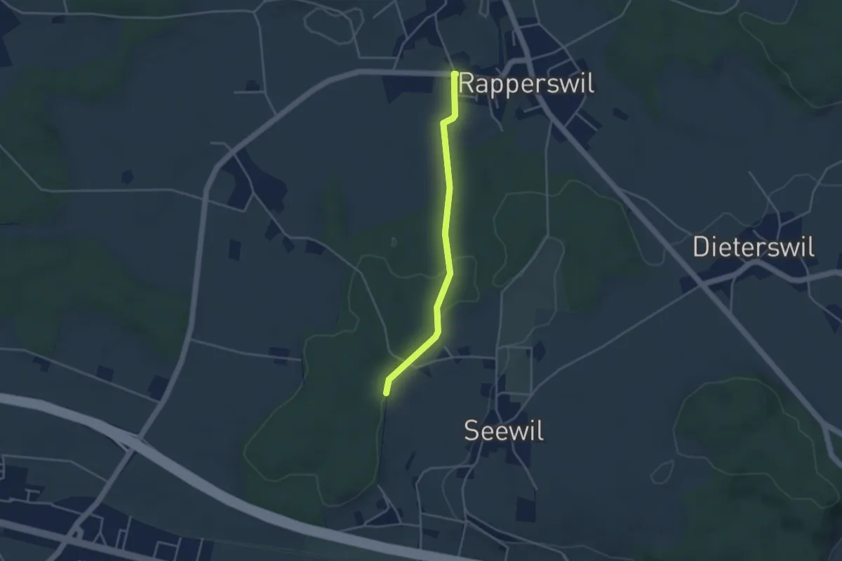
Easy · Trail
Rapperswil – Hardwald
3.4 km · ↑ 57 m · 55 min · 12 km away
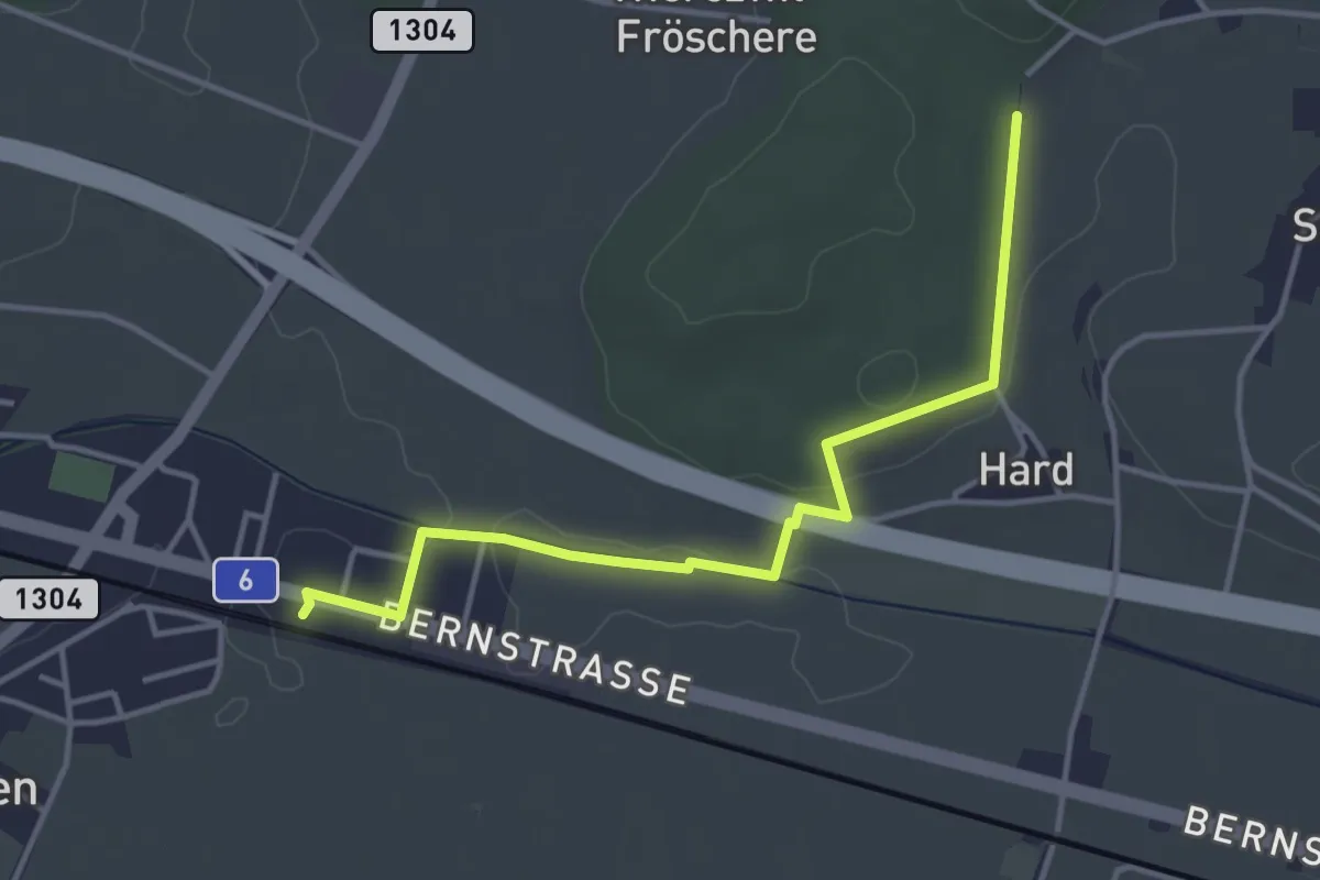
Easy · Trail
Hardwald – Schüpfen / Station
4.0 km · ↑ 45 m · 1 h 3 min · 12 km away
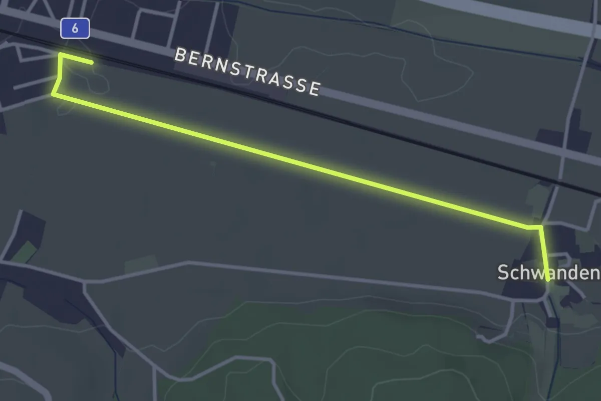
Easy · Trail
Schüpfen / Station – Schwanden
3.5 km · ↑ 13 m · 51 min · 12 km away
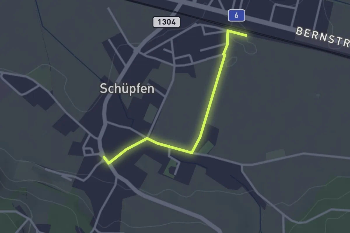
Easy · Trail
Schüpfen / Station – Schüpfen
2.3 km · ↑ 12 m · 35 min · 12 km away
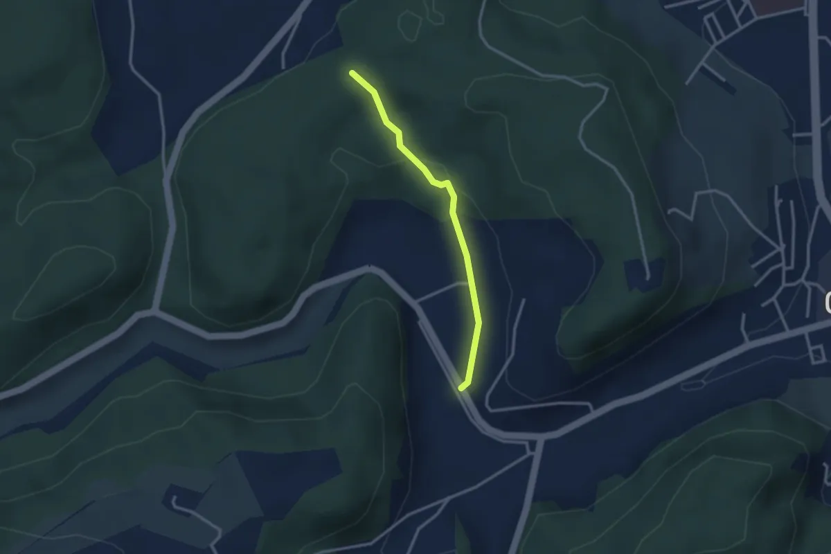
Easy · Trail
Steingruebe - Siebenwegeplatz
2.4 km · ↑ 62 m · 42 min · 12 km away
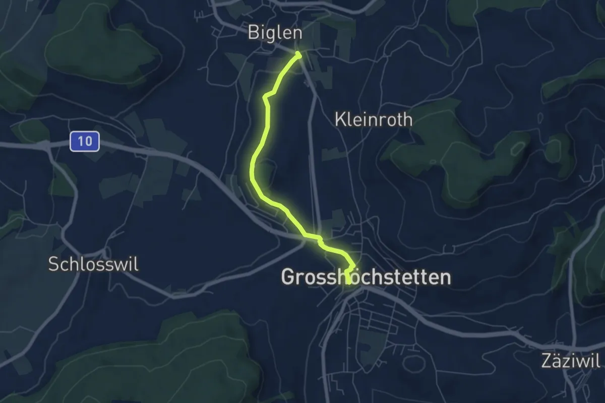
Easy · Trail
Biglen – Grosshöchstetten Marktplatz
5.3 km · ↑ 84 m · 1 h 26 min · 12 km away
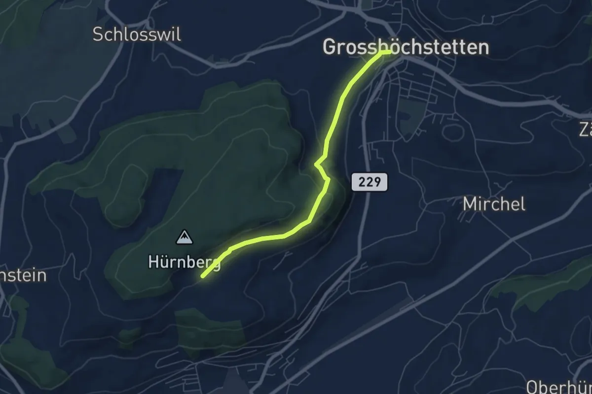
Easy · Trail
Ober Hötschige - Marktplatz
5.7 km · ↑ 176 m · 1 h 44 min · 12 km away
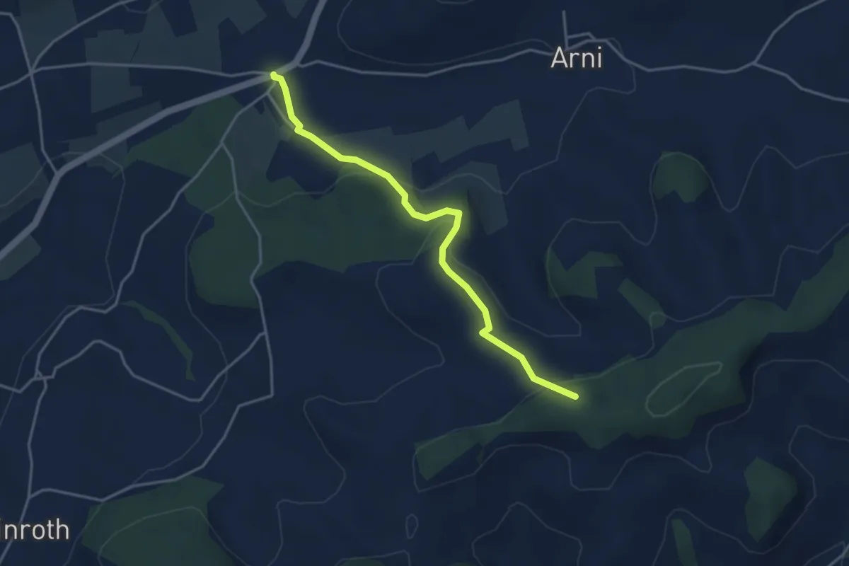
Easy · Trail
Arnisäge – Chapfwald
3.7 km · ↑ 134 m · 1 h 11 min · 12 km away
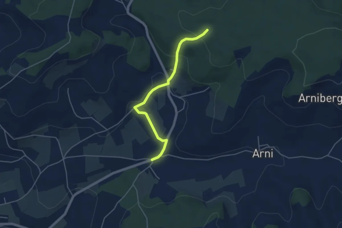
Easy · Trail
Spittelwald – Arnisäge
3.8 km · ↑ 146 m · 1 h 13 min · 12 km away
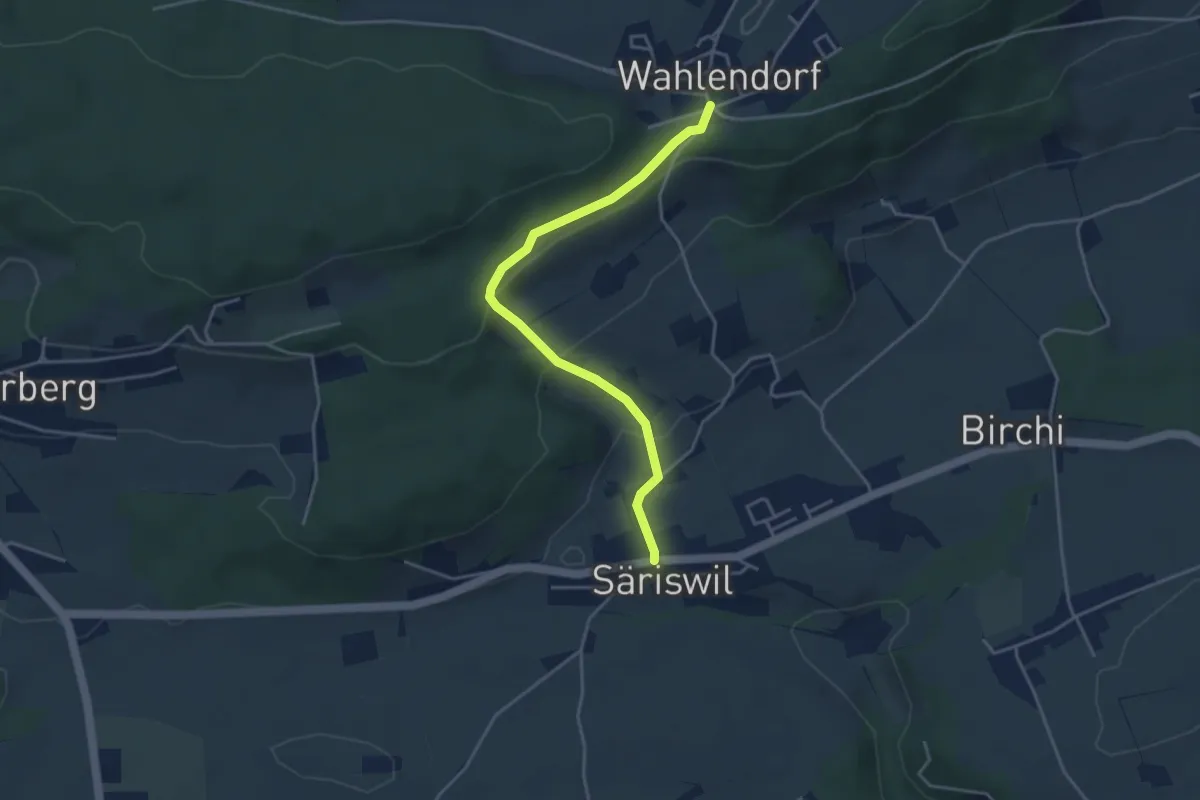
Easy · Trail
Wahlendorf Usserdorf – Säriswil
4.0 km · ↑ 132 m · 1 h 14 min · 12 km away
Easy · Trail
Fuessacher - Bruucheren
3.0 km · ↑ 40 m · 48 min · 13 km away
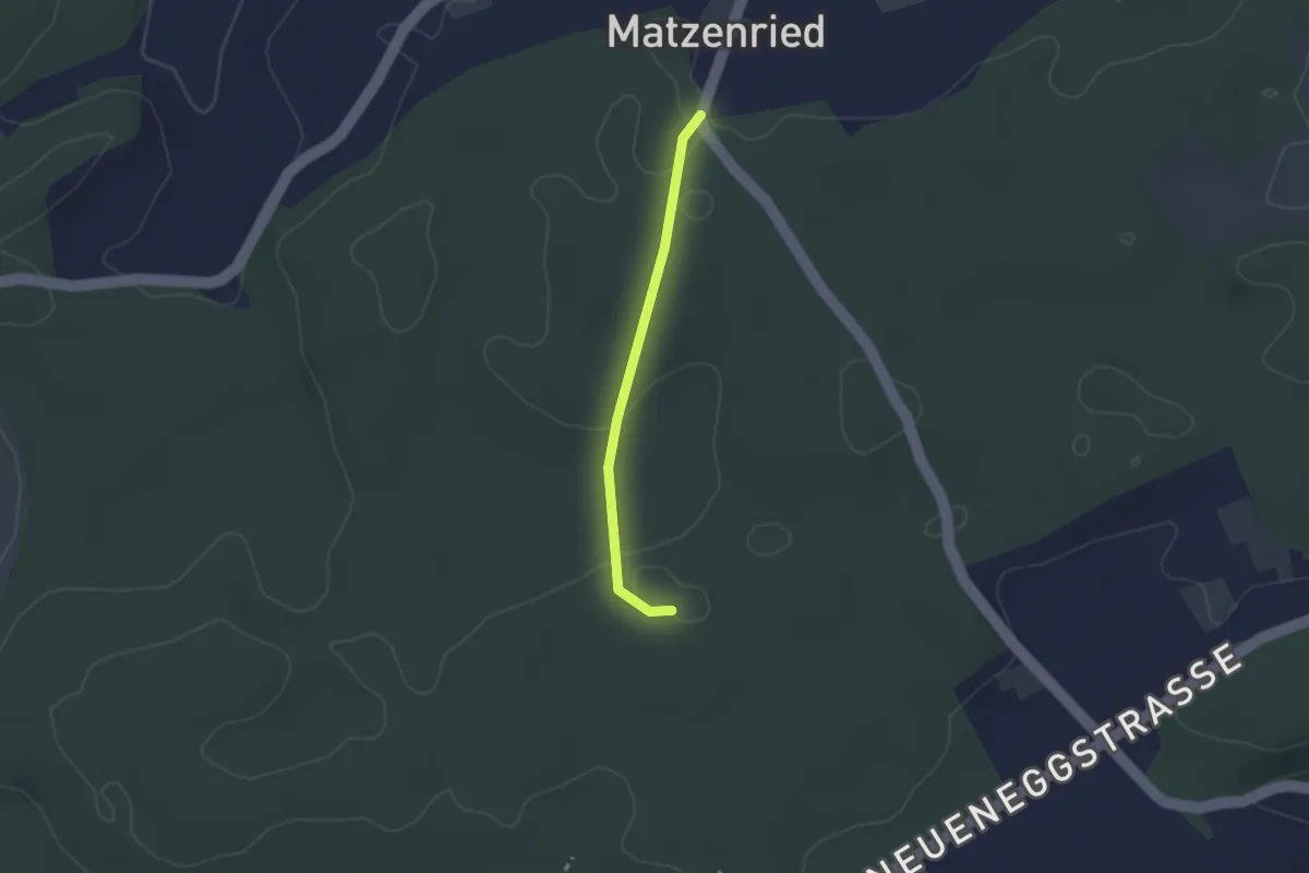
Easy · Trail
Holzeggen - Bruucheren
2.1 km · ↑ 39 m · 35 min · 13 km away
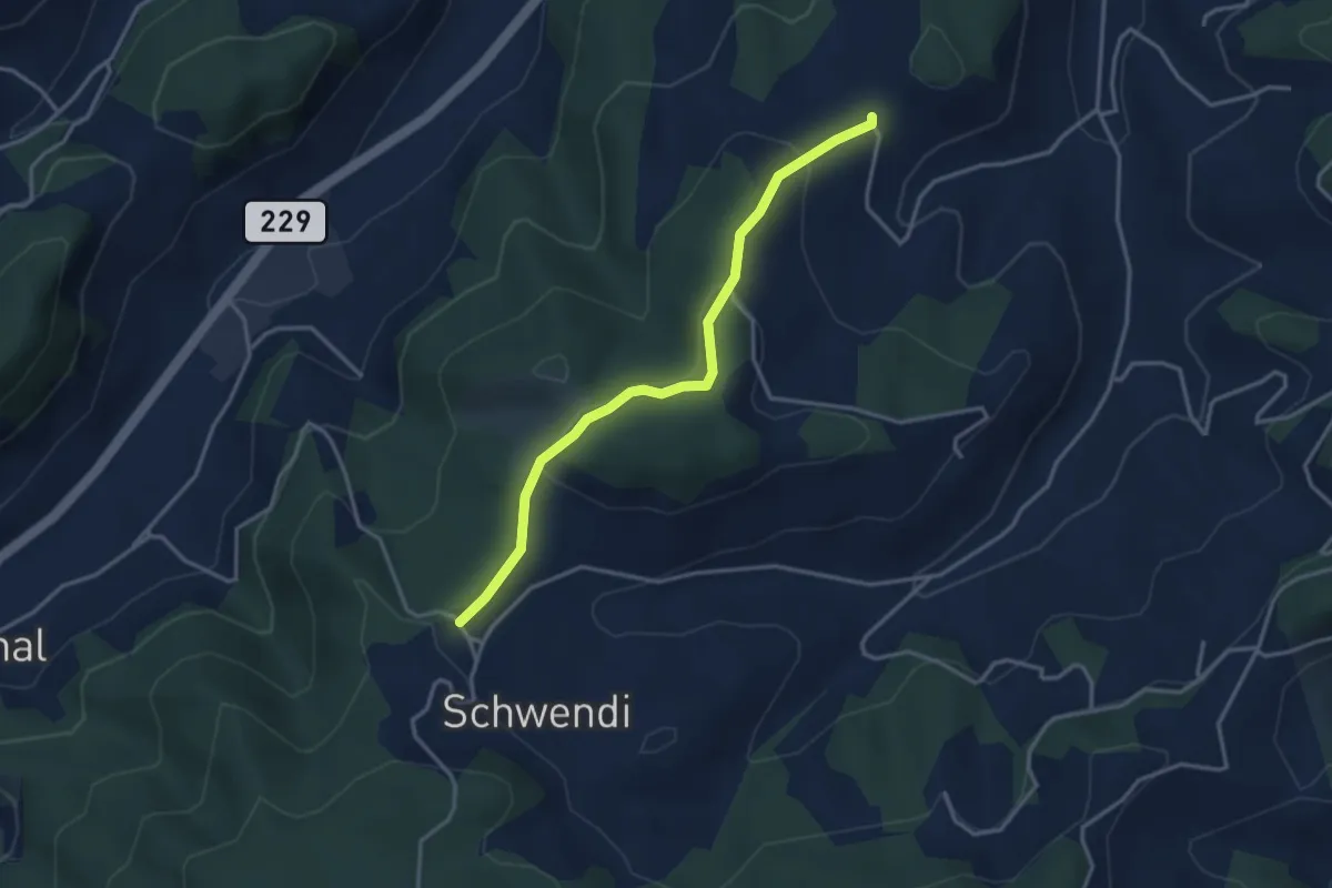
Easy · Trail
Vorder Schwändi – Bütschwil
3.4 km · ↑ 106 m · 1 h 2 min · 13 km away
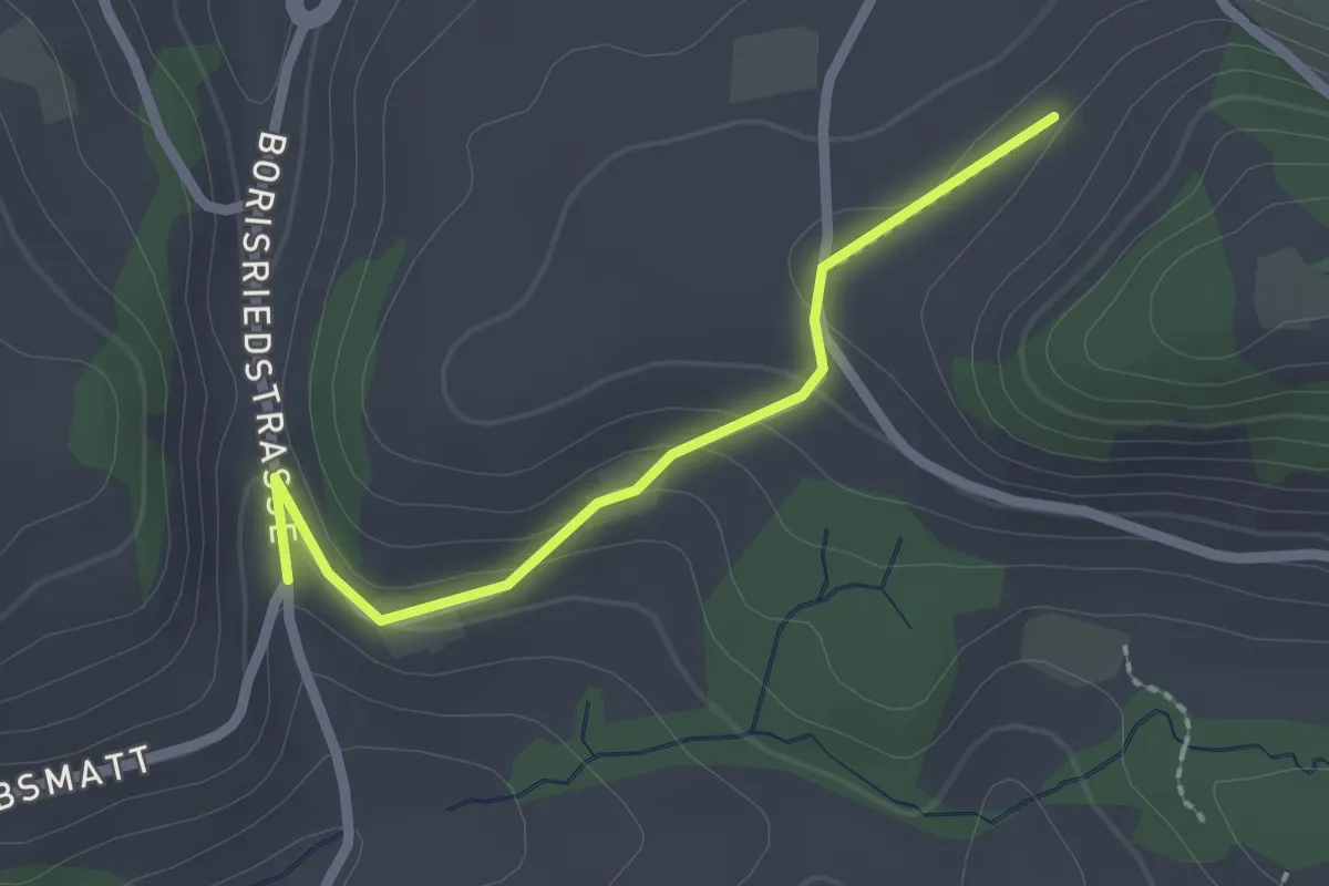
Easy · Trail
Oberbalm/Kirchweg – Schlatt
2.1 km · ↑ 73 m · 39 min · 13 km away
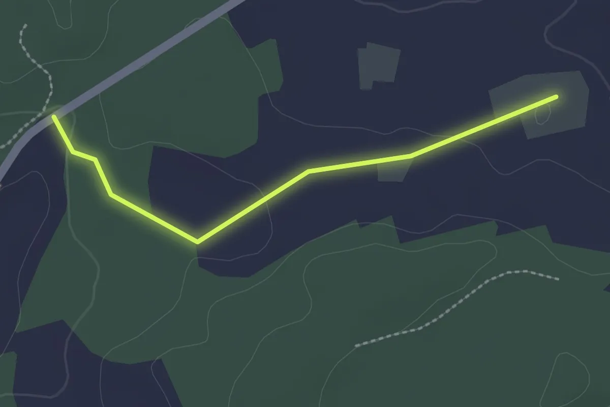
Easy · Trail
Bim Stundstei - Oberwangenhubel
2.2 km · ↑ 22 m · 34 min · 13 km away
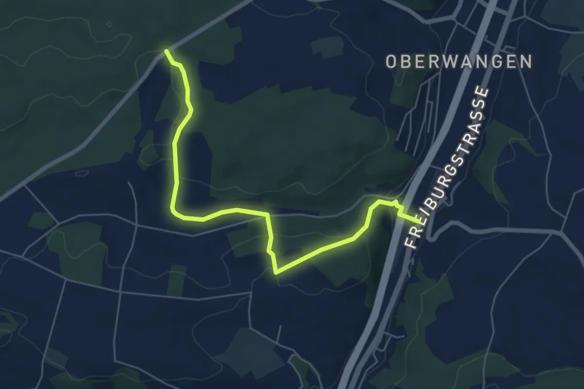
Easy · Trail
Bim Stundstei - Thörishaus Station
5.9 km · ↑ 146 m · 1 h 42 min · 13 km away
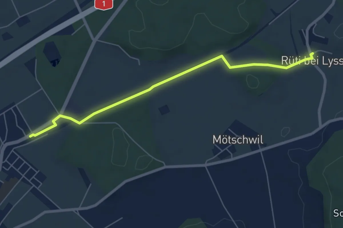
Easy · Trail
Hindelbank / Station – Rüti b. Lyssach
5.5 km · ↑ 39 m · 1 h 23 min · 13 km away
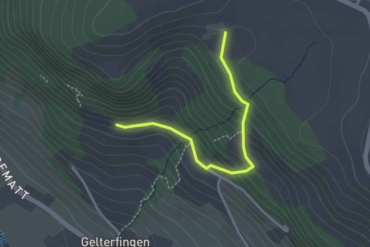
Easy · Trail
Chramburg - Schlatt
2.1 km · ↑ 133 m · 47 min · 13 km away
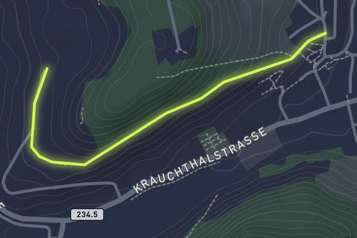
Easy · Trail
Oberburg – Hinterroth
2.5 km · ↑ 117 m · 51 min · 13 km away
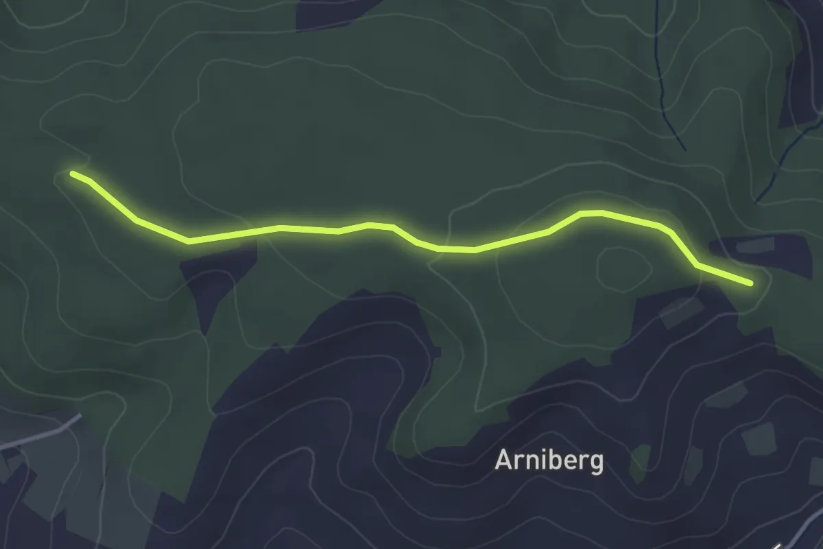
Easy · Trail
Spittelwald – Spränzel
3.4 km · ↑ 78 m · 58 min · 13 km away
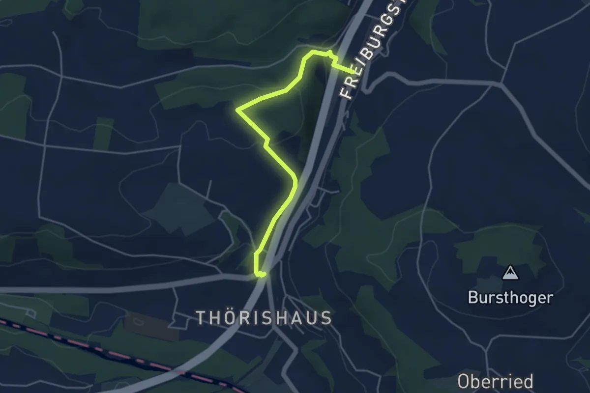
Easy · Trail
Thörishaus/Station - Thörishaus
4.0 km · ↑ 138 m · 1 h 15 min · 13 km away
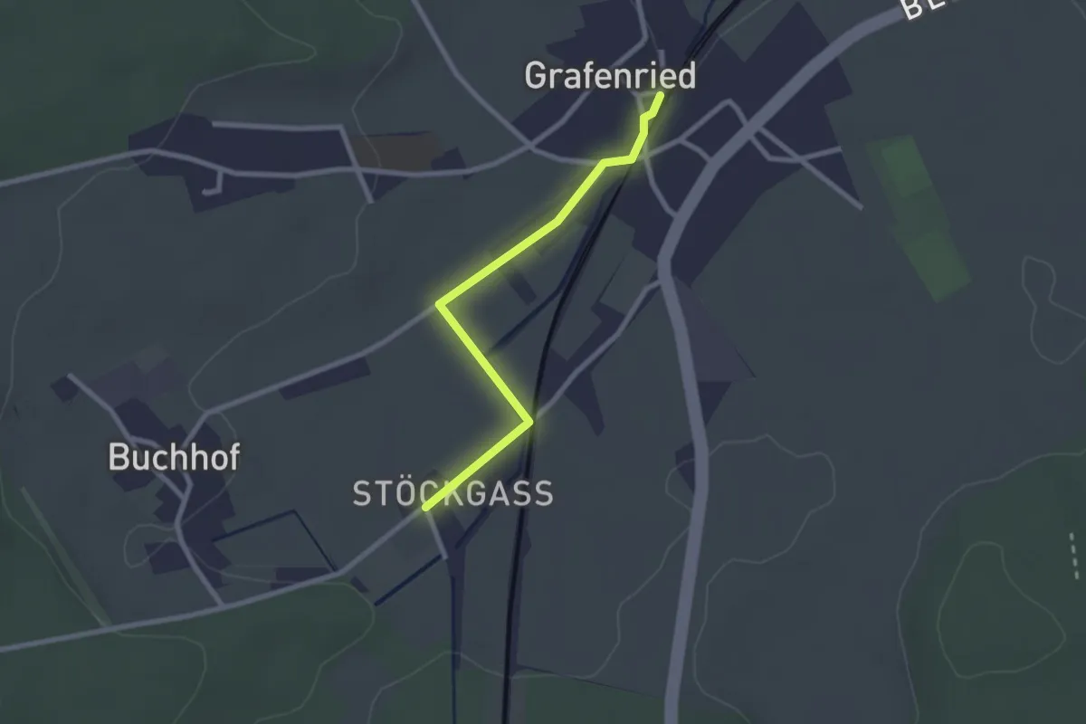
Easy · Trail
Grafenried – Stöckgass
2.3 km · ↑ 4 m · 33 min · 13 km away
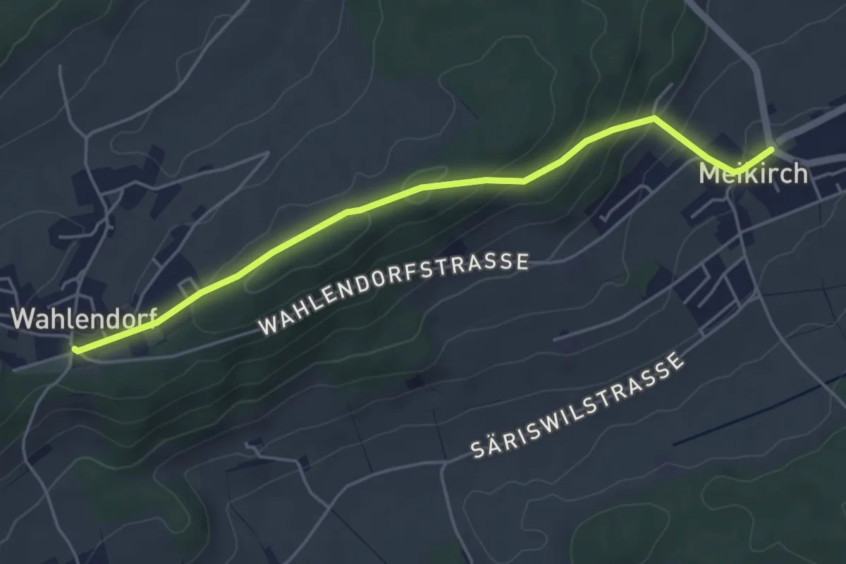
Easy · Trail
Wahlendorf Usserdorf – Meikirch
4.7 km · ↑ 167 m · 1 h 28 min · 13 km away
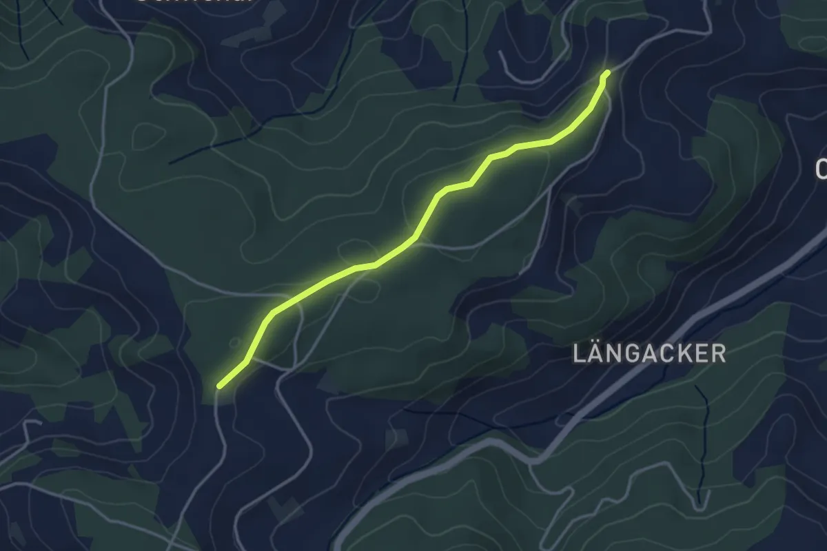
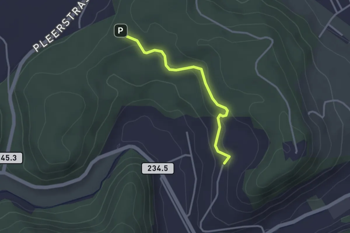
Easy · Trail
Hammegg – Aspiegg
3.3 km · ↑ 79 m · 57 min · 13 km away
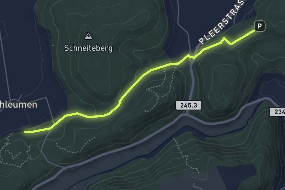
Easy · Trail
Hinterroth – Siebenwegeplatz
2.5 km · ↑ 102 m · 49 min · 13 km away
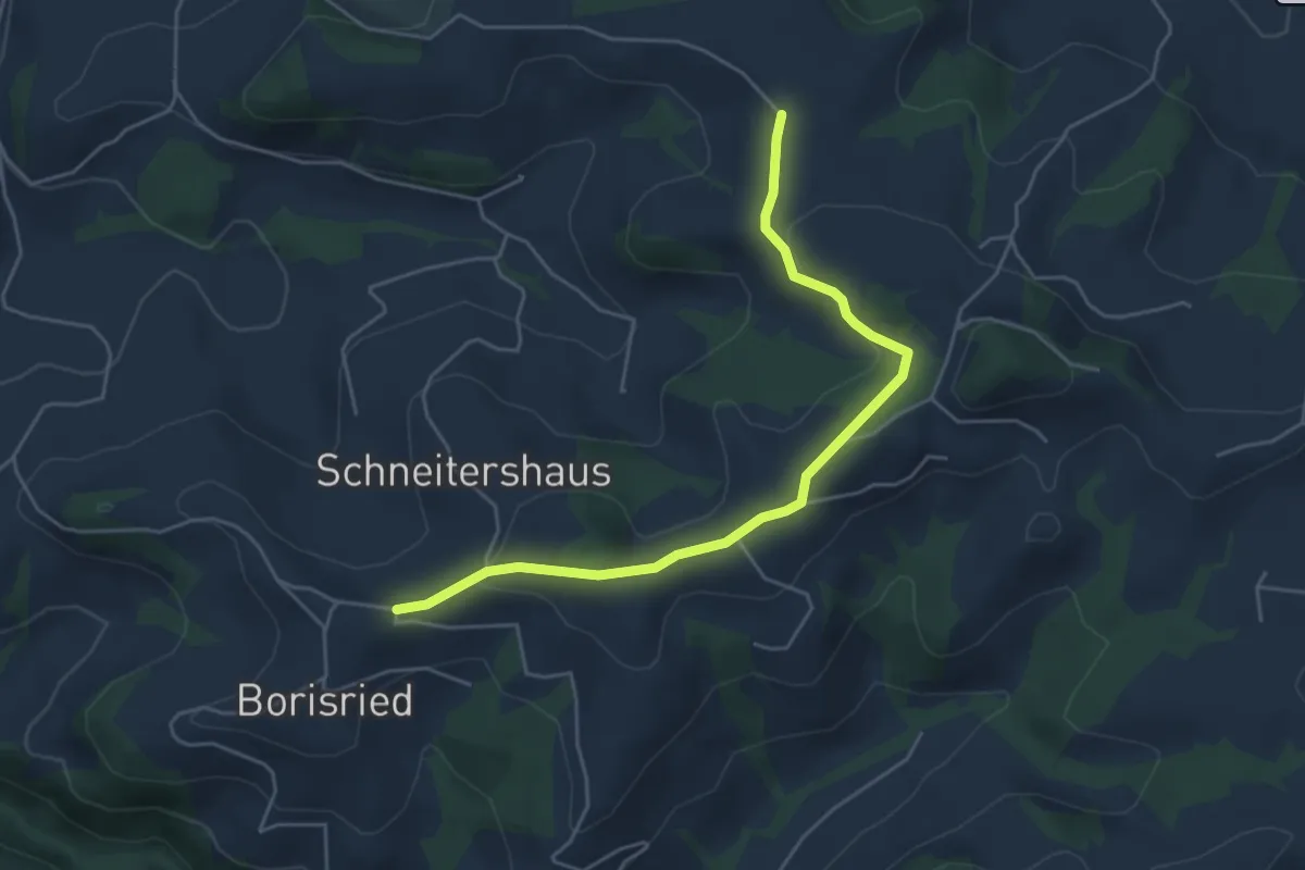
Easy · Trail
Siebenwegeplatz – Schleumemoos
4.9 km · ↑ 133 m · 1 h 27 min · 13 km away
Easy · Trail
Gassershus - Borisried/Schulhaus
5.0 km · ↑ 129 m · 1 h 27 min · 13 km away
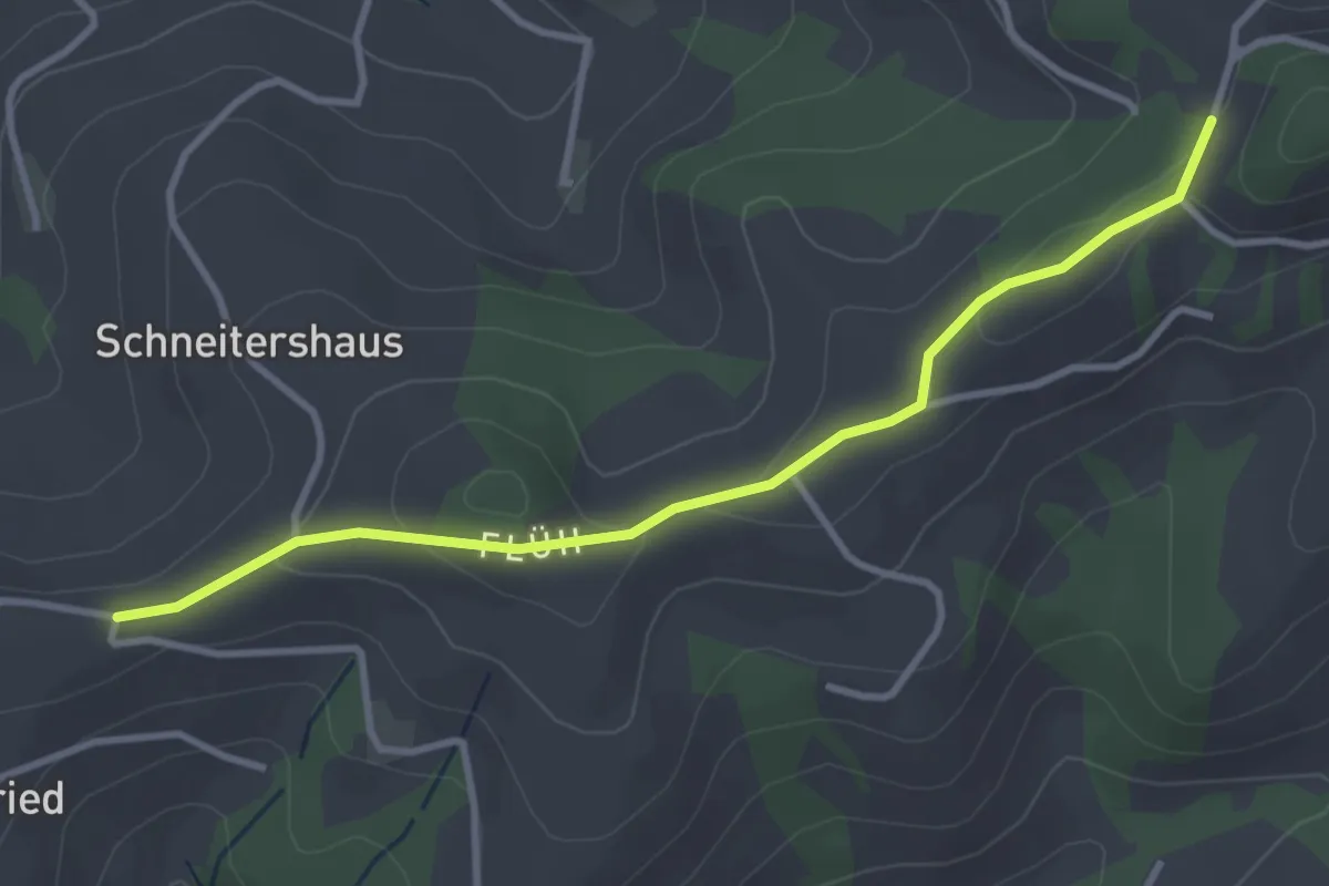
Easy · Trail
Borisried/Schulhaus - Tschuggen
3.5 km · ↑ 88 m · 1 h · 13 km away
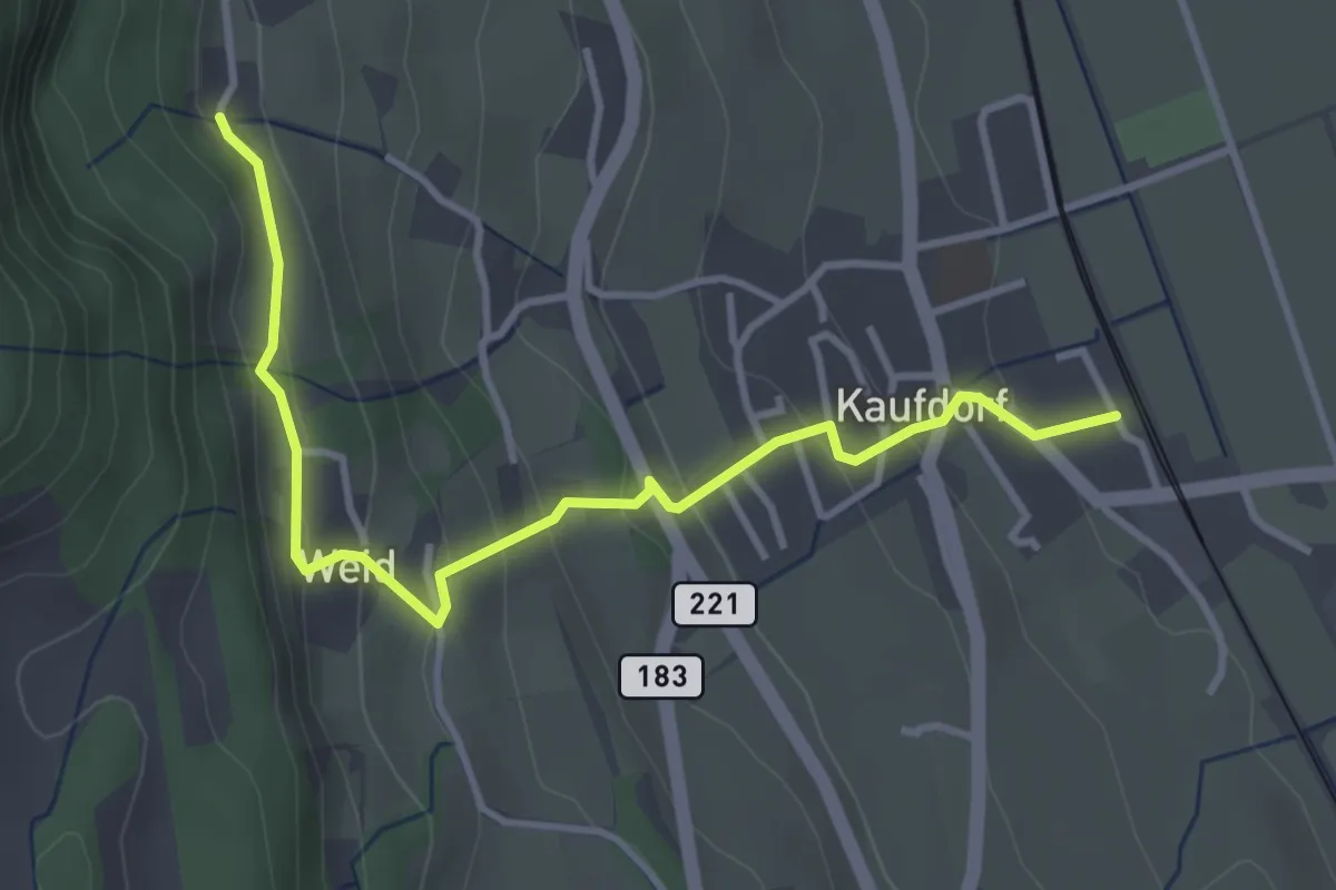
Easy · Trail
Kaufdorf - Gutenbrünnen
3.9 km · ↑ 237 m · 1 h 26 min · 13 km away
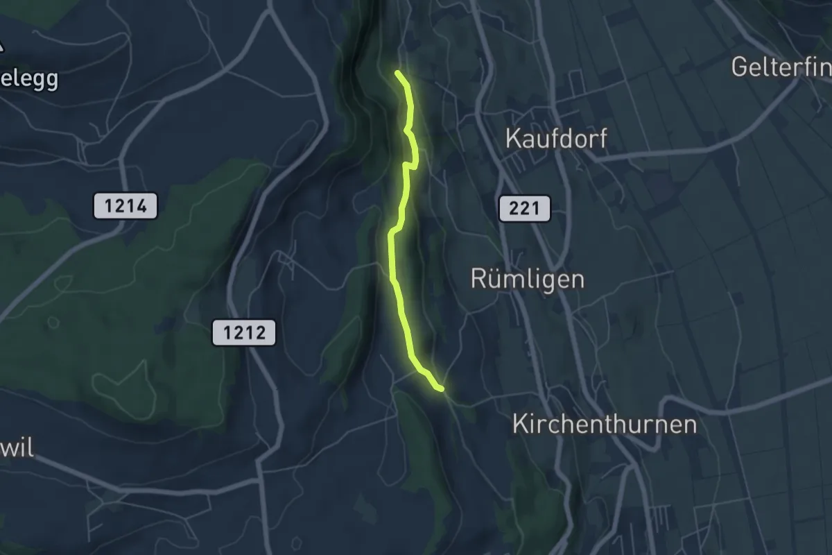
Easy · Trail
Gutenbrünnen - Uf der Mur
4.0 km · ↑ 157 m · 1 h 18 min · 13 km away
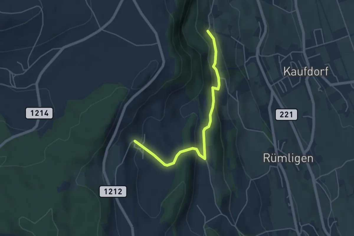
Easy · Trail
Gutenbrünnen - Hermiswil
4.3 km · ↑ 207 m · 1 h 28 min · 13 km away