Trails near Ostermundigen
488 hikes starting within 15 km, nearest first.
Nearest first, page 7 of 11
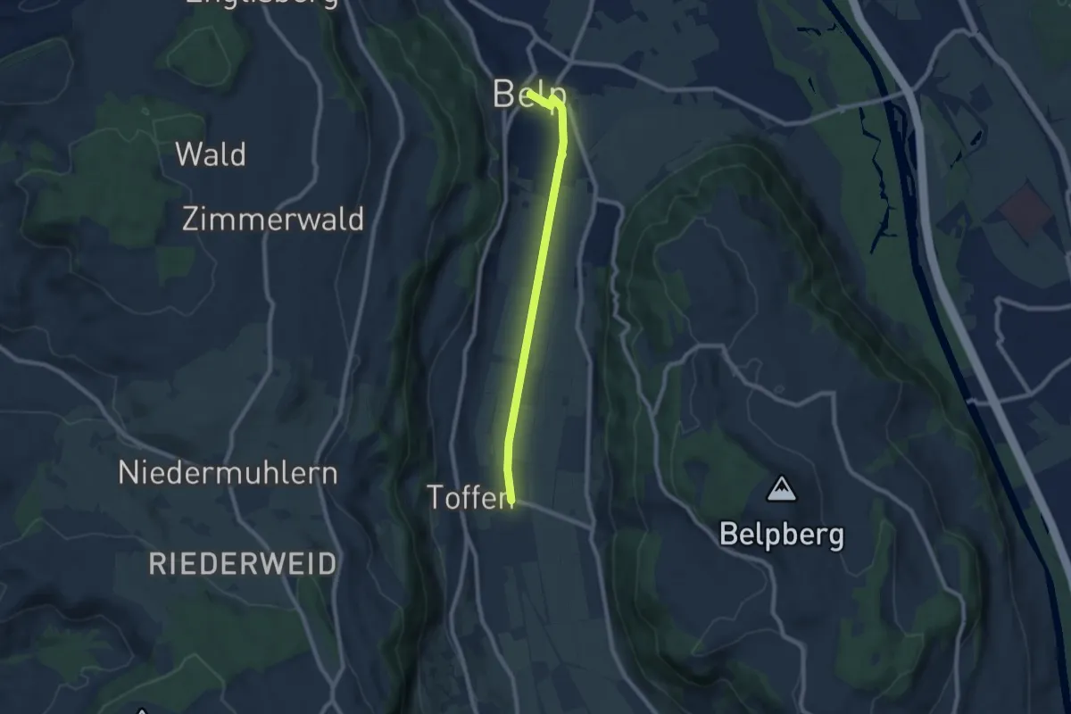
Easy · Trail
Toffen – Belp
7.3 km · ↑ 4 m · 1 h 44 min · 11 km away
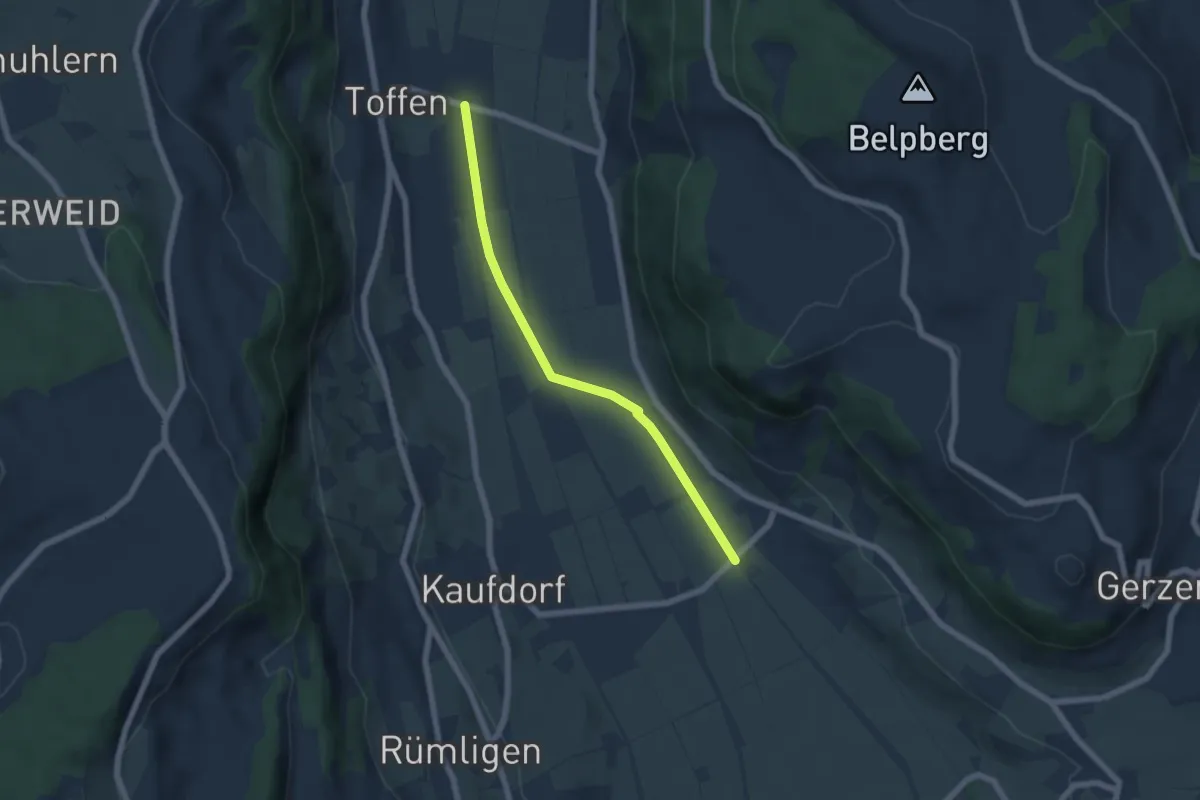
Easy · Trail
Gelterfingen - Toffen/Station
5.6 km · ↑ 4 m · 1 h 19 min · 11 km away
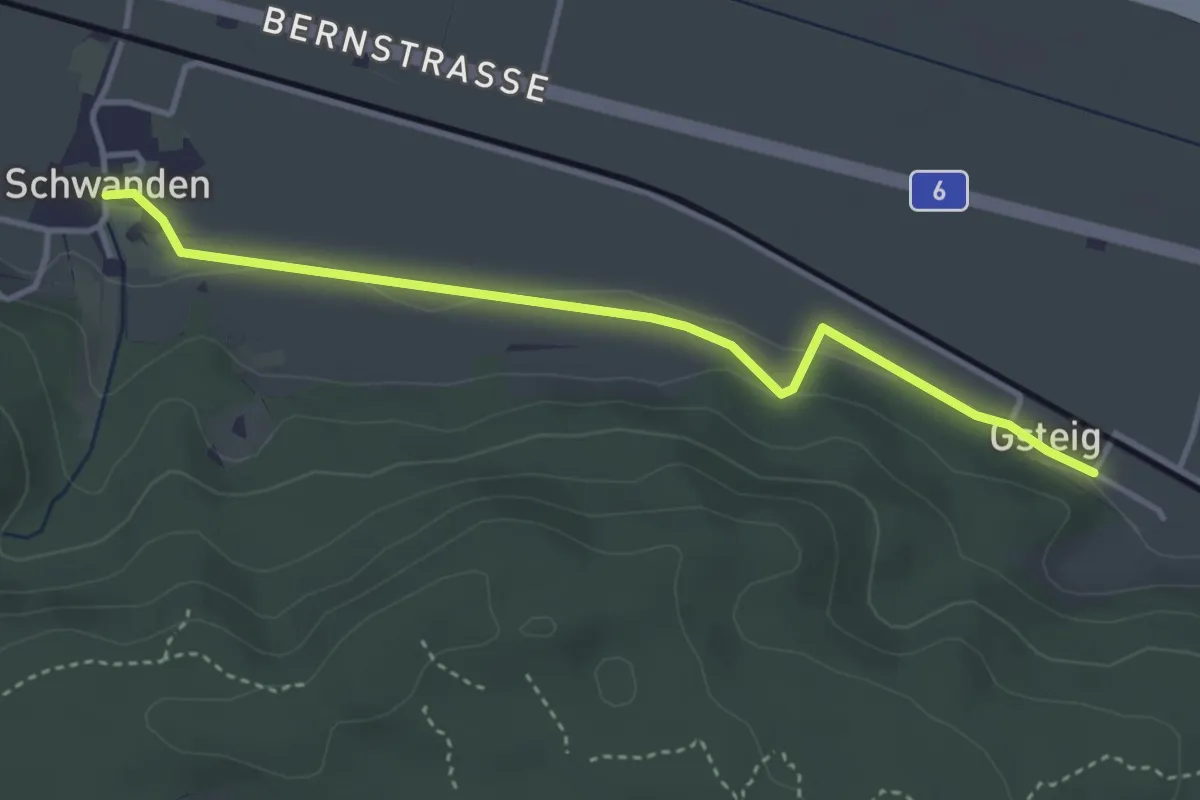
Easy · Trail
Schwanden – Gsteig
3.8 km · ↑ 45 m · 59 min · 11 km away
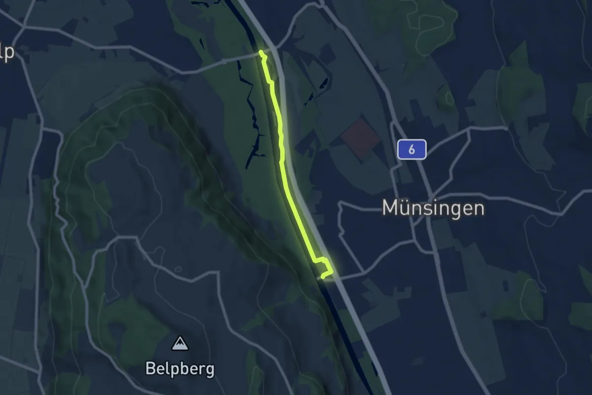
Easy · Trail
Hunzigenbrügg – Jabergbrücke
5.7 km · ↑ 18 m · 1 h 24 min · 11 km away
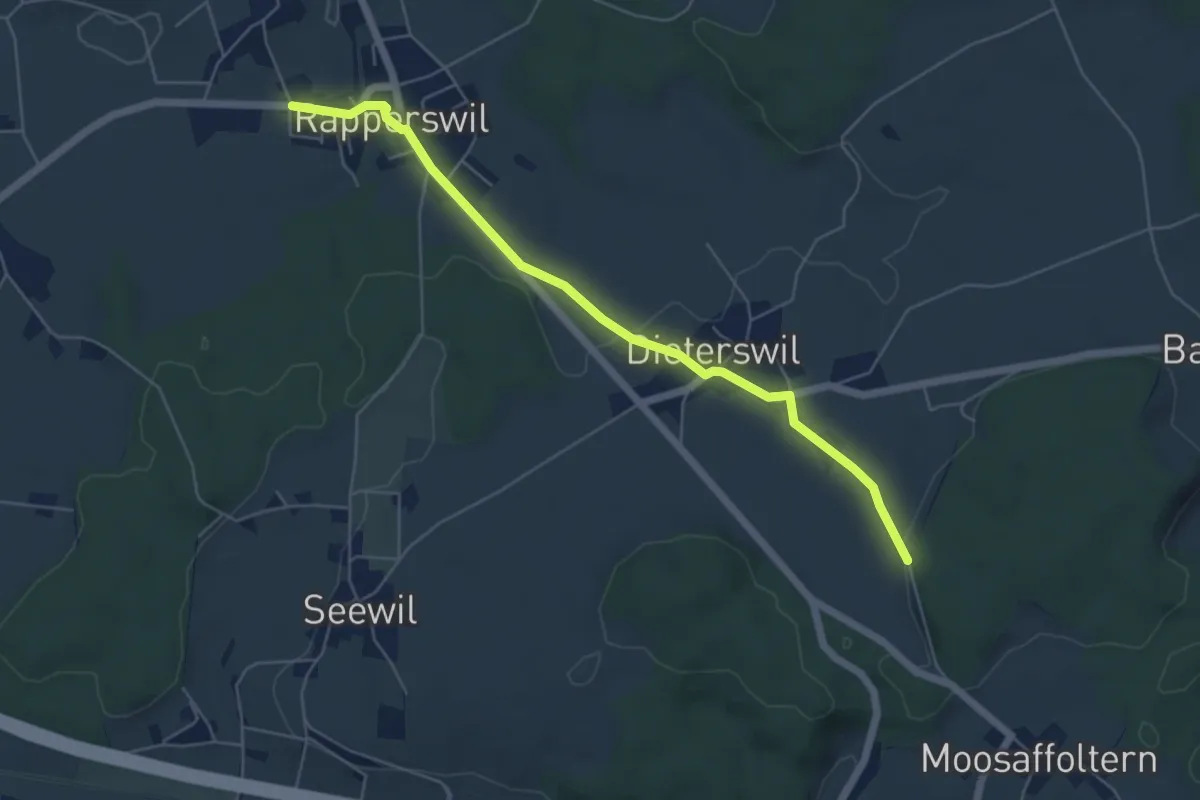
Easy · Trail
Rapperswil – Oberholz
5.6 km · ↑ 89 m · 1 h 32 min · 11 km away
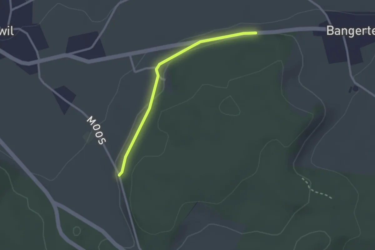
Easy · Trail
Hohrain – Oberholz
2.2 km · ↑ 47 m · 37 min · 11 km away
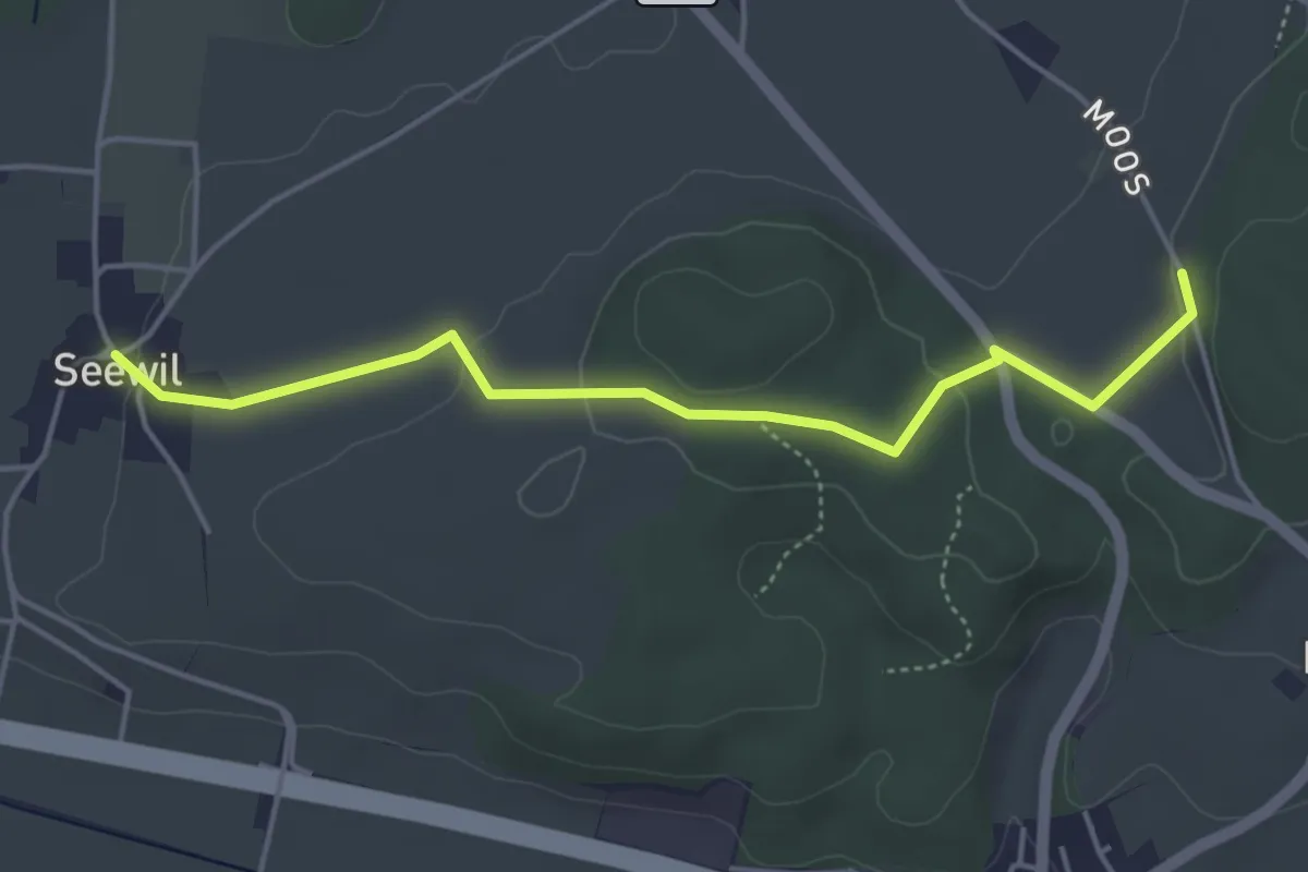
Easy · Trail
Oberholz – Seewil
4.5 km · ↑ 85 m · 1 h 15 min · 11 km away
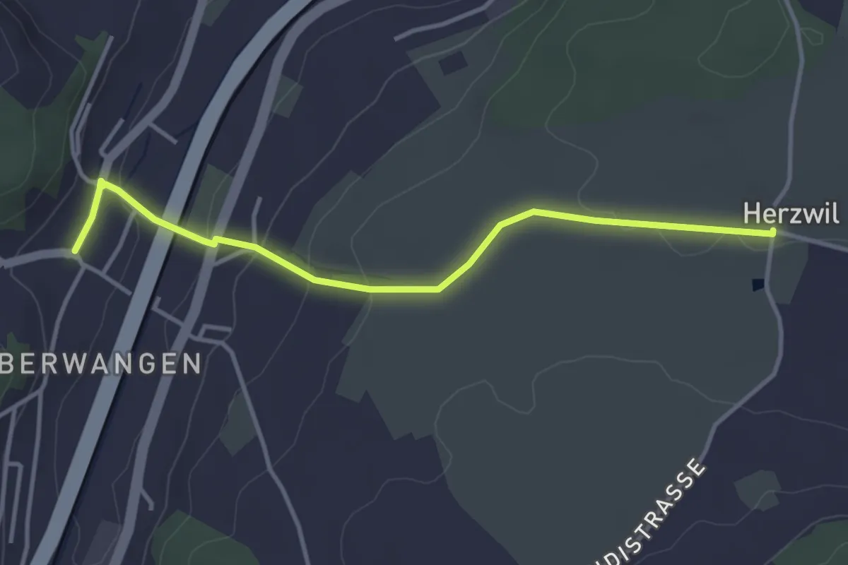
Easy · Trail
Herzwil - Oberwangen
3.7 km · ↑ 93 m · 1 h 4 min · 11 km away
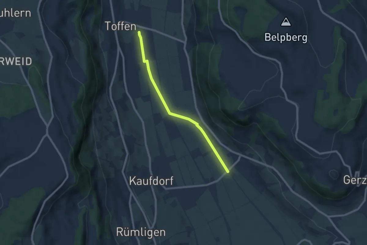
Easy · Trail
Toffen/Station - Gelterfingen
5.5 km · ↑ 4 m · 1 h 19 min · 11 km away
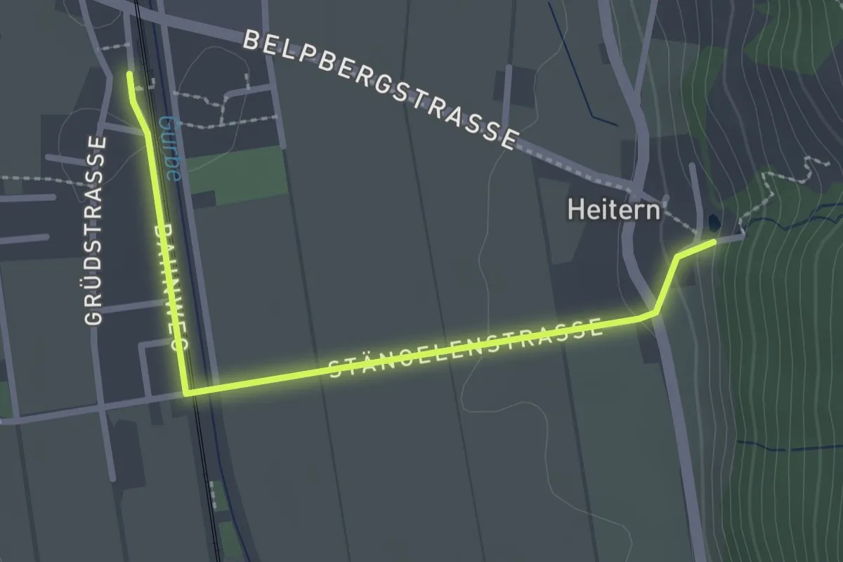
Easy · Trail
Toffen/Station – Heitern
2.6 km · ↑ 38 m · 41 min · 11 km away
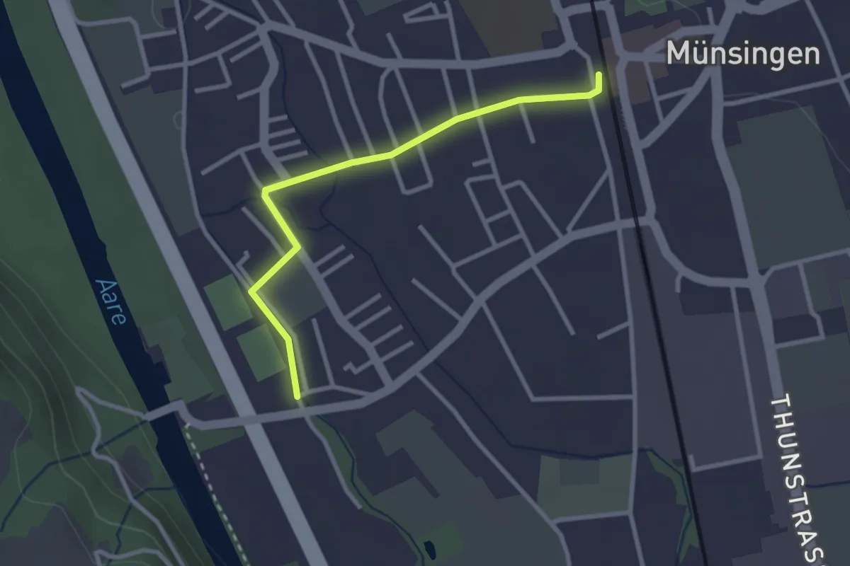
Easy · Trail
Aeussere Giesse - Münsingen/Bahnhof
2.7 km · ↑ 4 m · 39 min · 11 km away
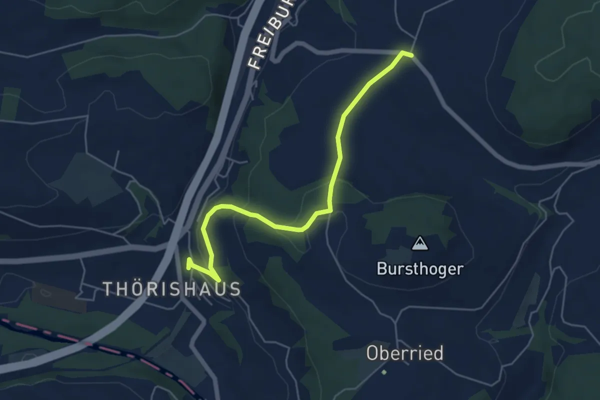
Easy · Trail
Thörishaus - Liebewil
4.9 km · ↑ 176 m · 1 h 32 min · 11 km away
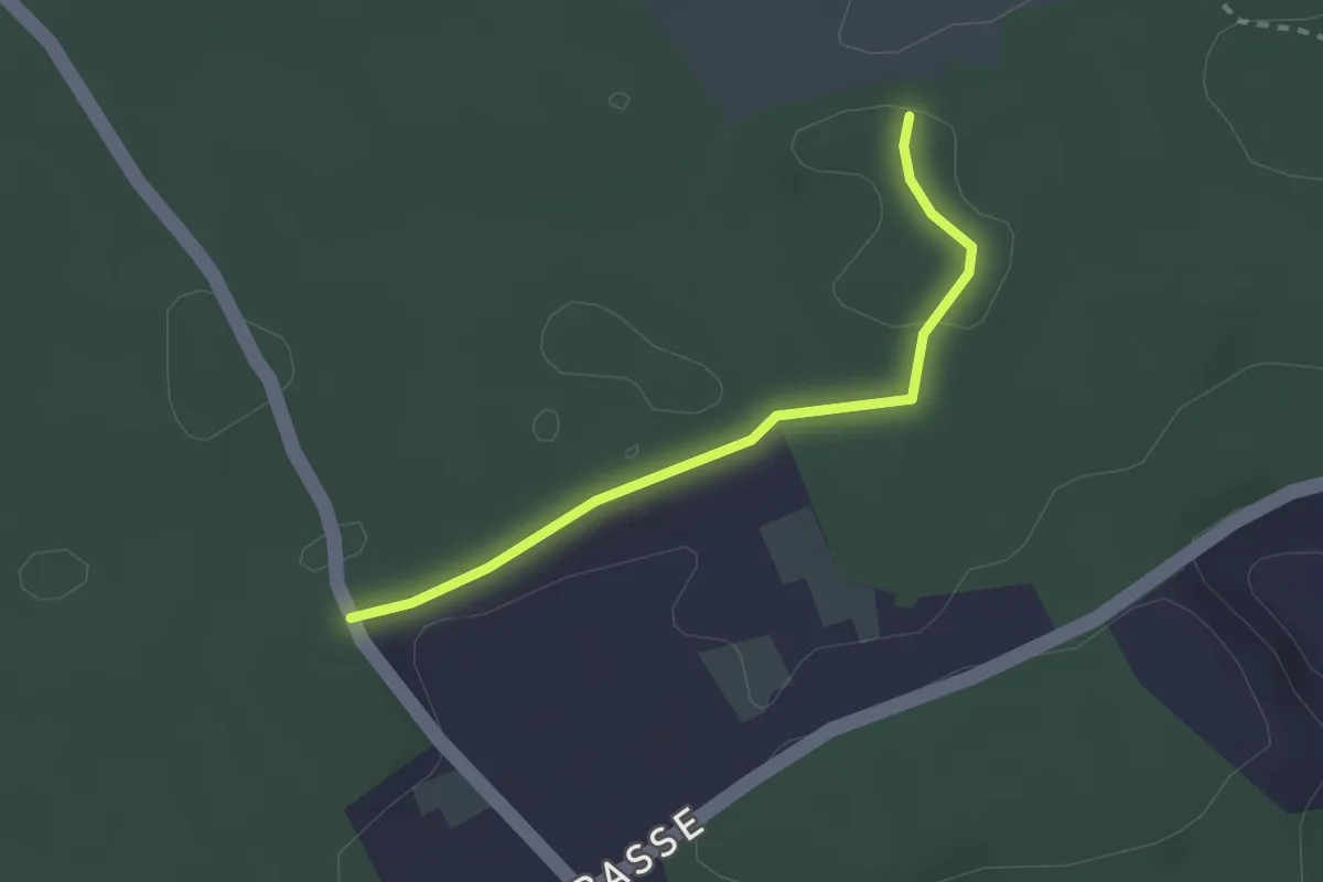
Easy · Trail
Niederwangenhubel - Ried
2.2 km · ↑ 23 m · 35 min · 11 km away
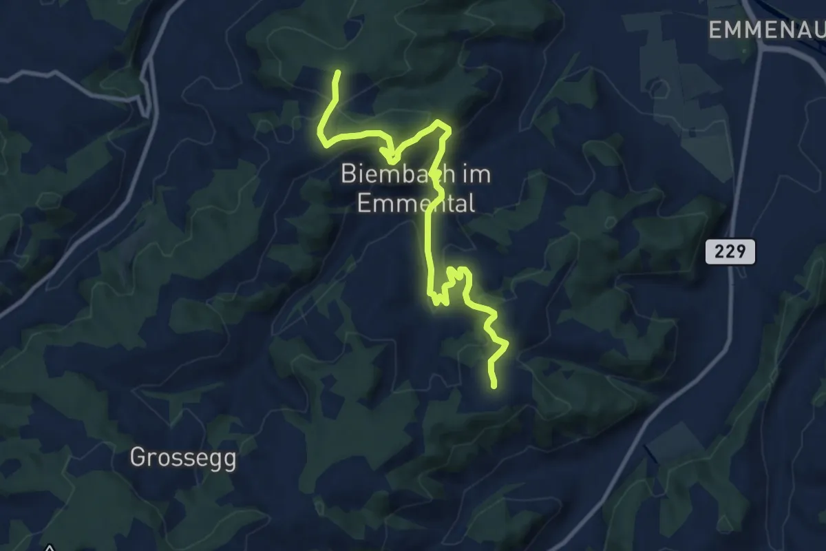
Medium · Trail
Wasenegg – Afterlehn
10.5 km · ↑ 513 m · 3 h 36 min · 11 km away
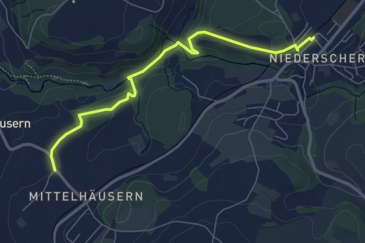
Easy · Trail
Mittelhäusern - Niederscherli
5.7 km · ↑ 165 m · 1 h 42 min · 11 km away
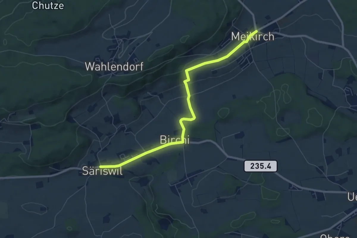
Easy · Trail
Säriswil – Meikirch
7.6 km · ↑ 135 m · 2 h 5 min · 11 km away
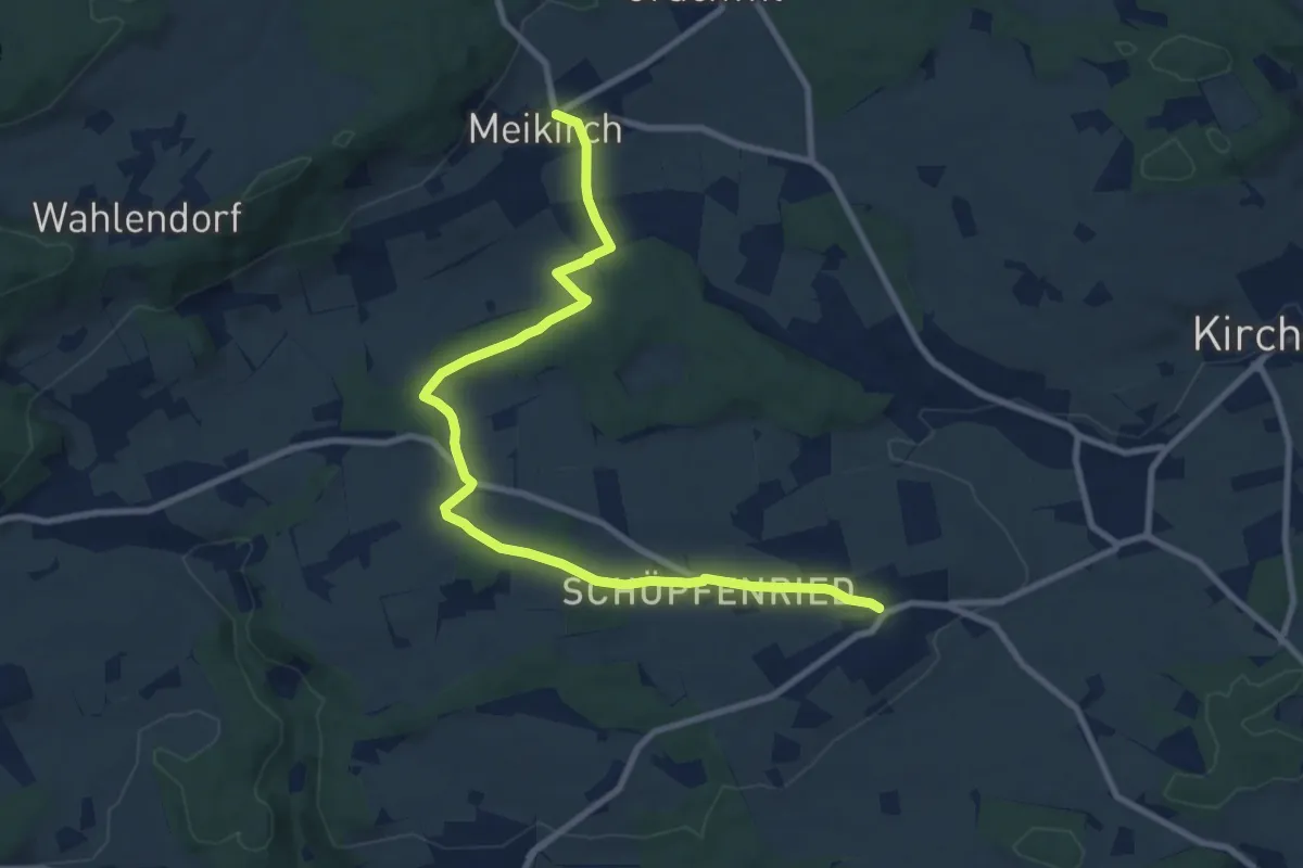
Medium · Trail
Meikirch – Uettligen/Linde
10.5 km · ↑ 119 m · 2 h 44 min · 11 km away
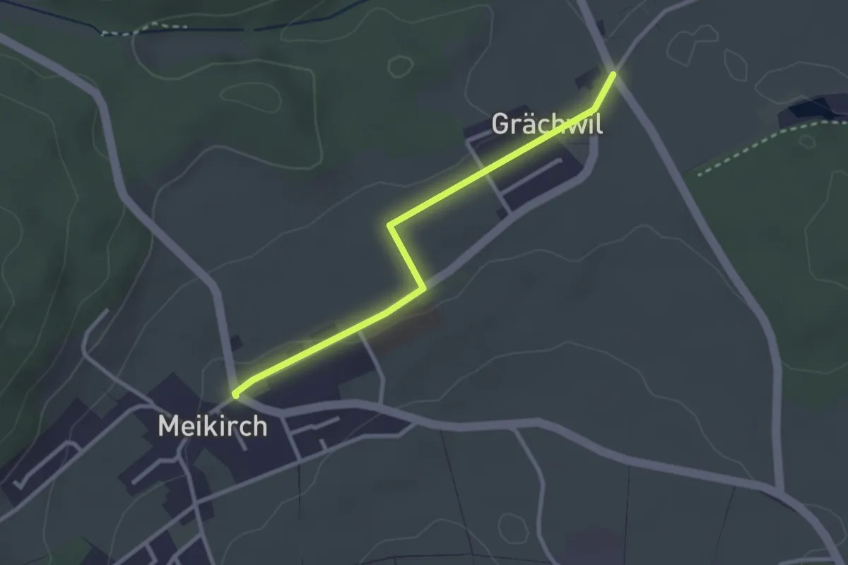
Easy · Trail
Grächwil – Meikirch
2.6 km · ↑ 33 m · 42 min · 11 km away
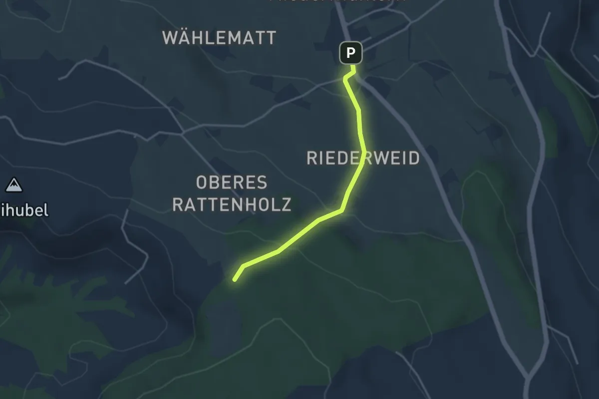
Easy · Trail
Seitenberg – Niedermuhlern
2.8 km · ↑ 141 m · 57 min · 11 km away
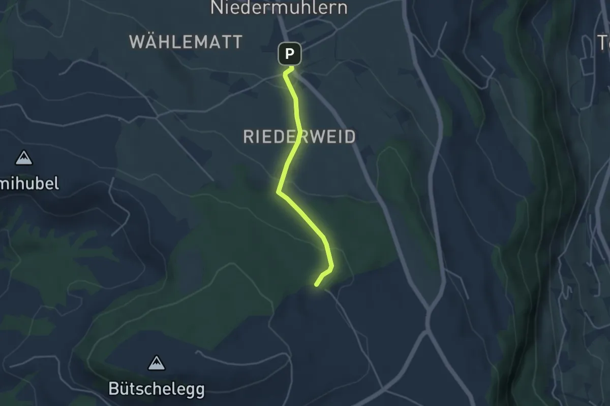
Easy · Trail
Niedermuhlern – Buechweid
3.1 km · ↑ 123 m · 1 h · 11 km away
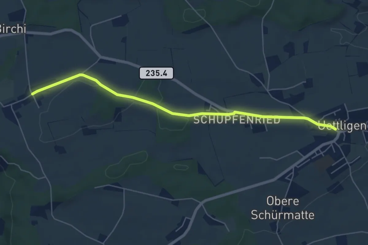
Easy · Trail
Uettligen/Linde - Möriswil
5.5 km · ↑ 46 m · 1 h 24 min · 11 km away
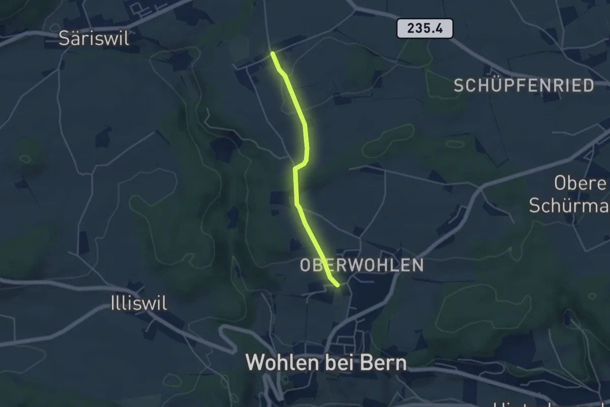
Easy · Trail
Oberwohlen – Möriswil
3.6 km · ↑ 84 m · 1 h 1 min · 11 km away
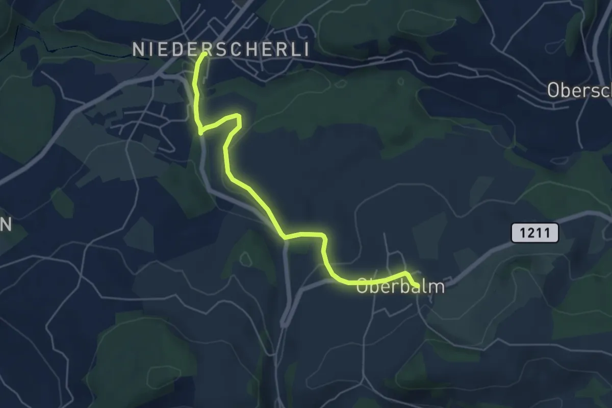
Easy · Trail
Niederscherli – Oberbalm
5.1 km · ↑ 142 m · 1 h 30 min · 11 km away
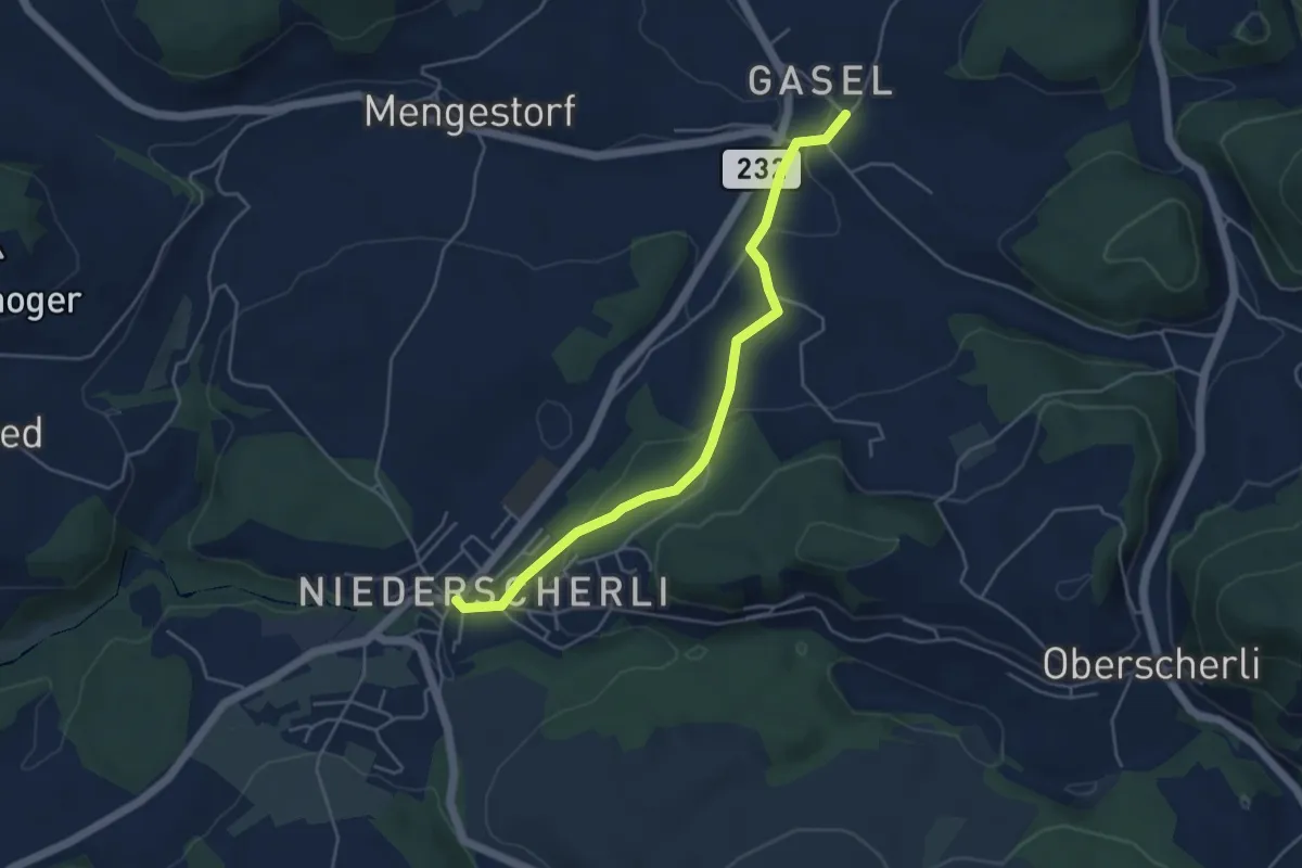
Easy · Trail
Niederscherli – Gasel
4.6 km · ↑ 143 m · 1 h 24 min · 11 km away
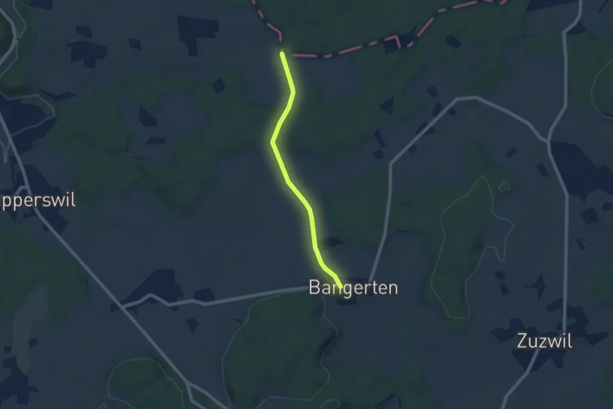
Easy · Trail
Bangerten - Messen Chorber Egge
4.6 km · ↑ 68 m · 1 h 14 min · 11 km away
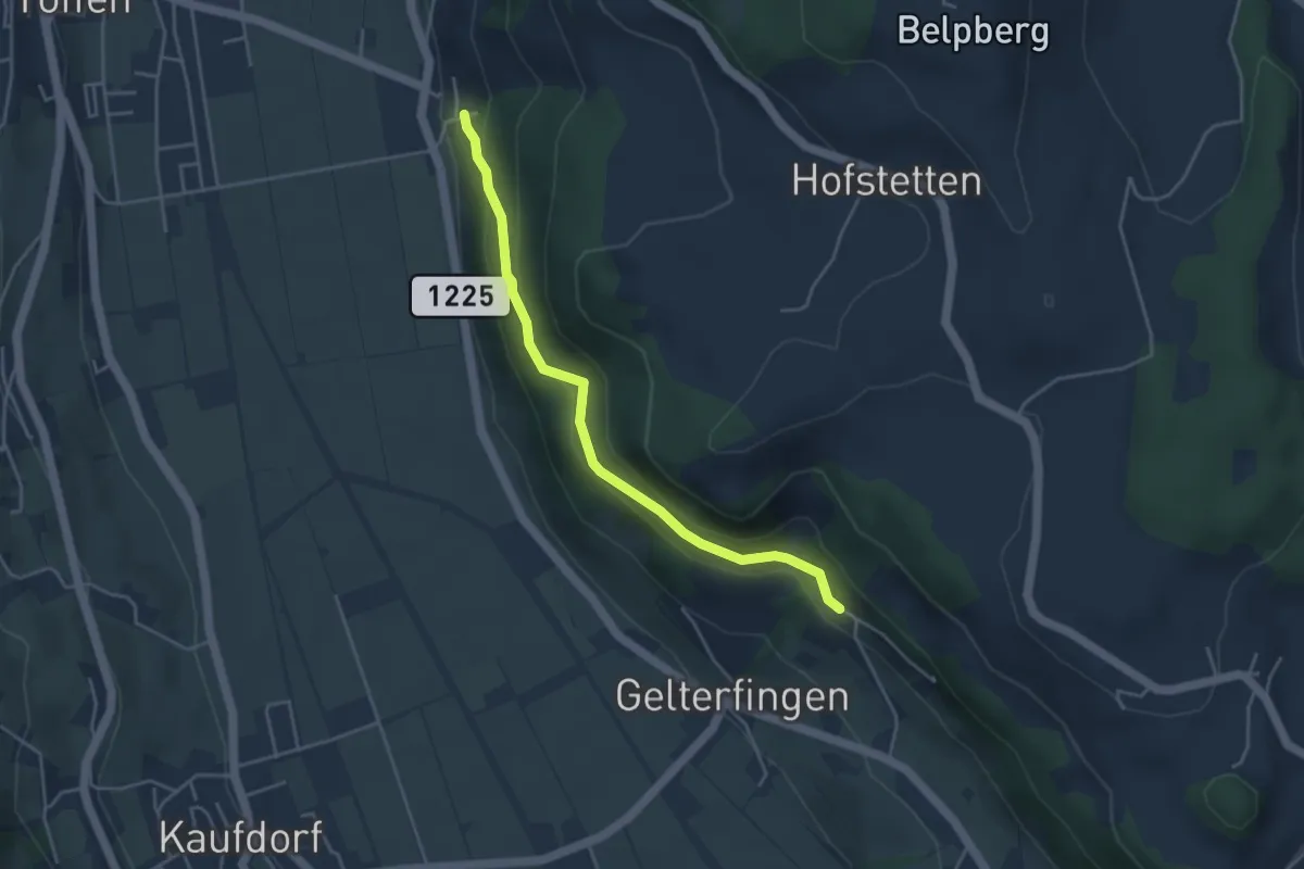
Easy · Trail
Heitern - Chramburg
4.0 km · ↑ 198 m · 1 h 23 min · 11 km away
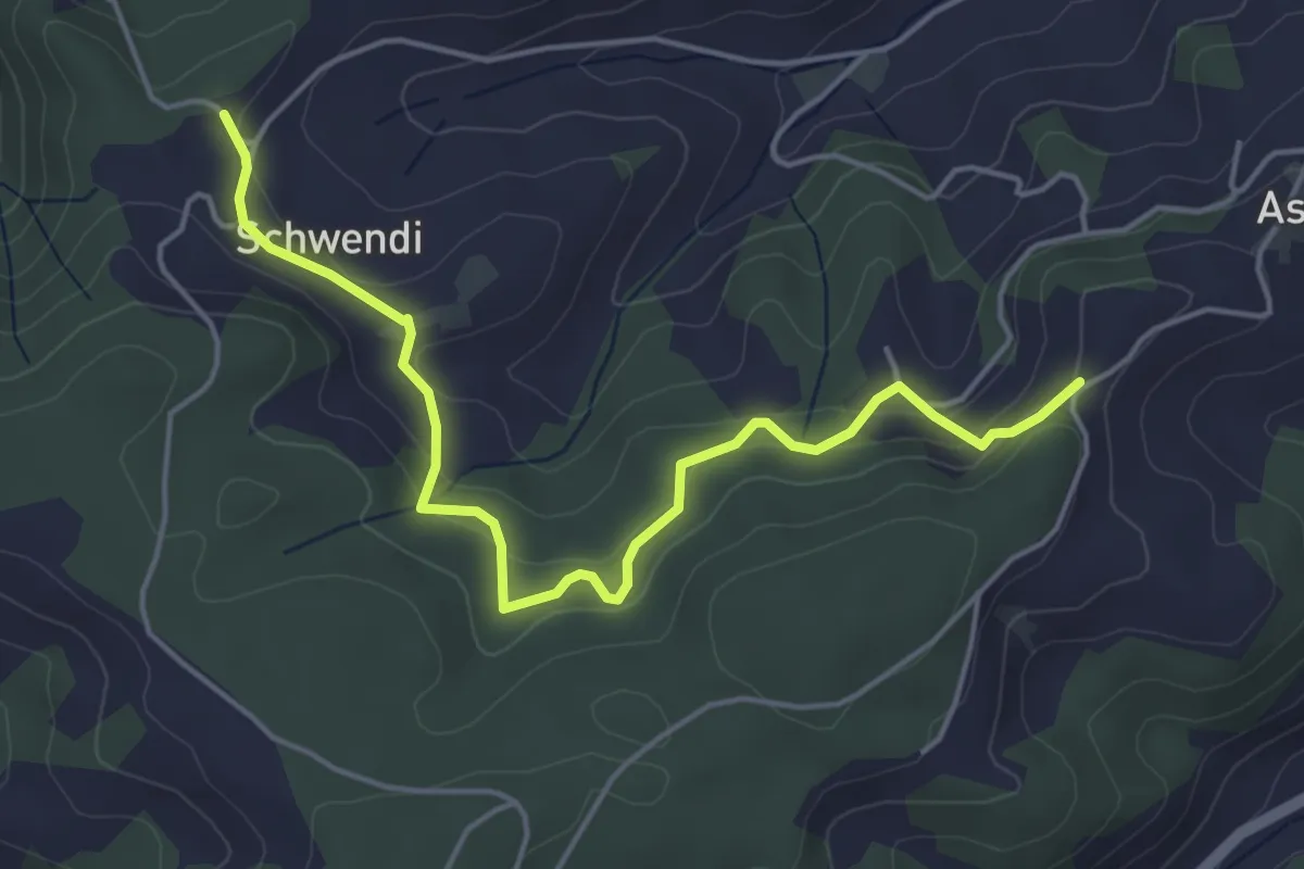
Easy · Trail
Vorder Schwändi – Aspiegg
5.0 km · ↑ 197 m · 1 h 37 min · 11 km away
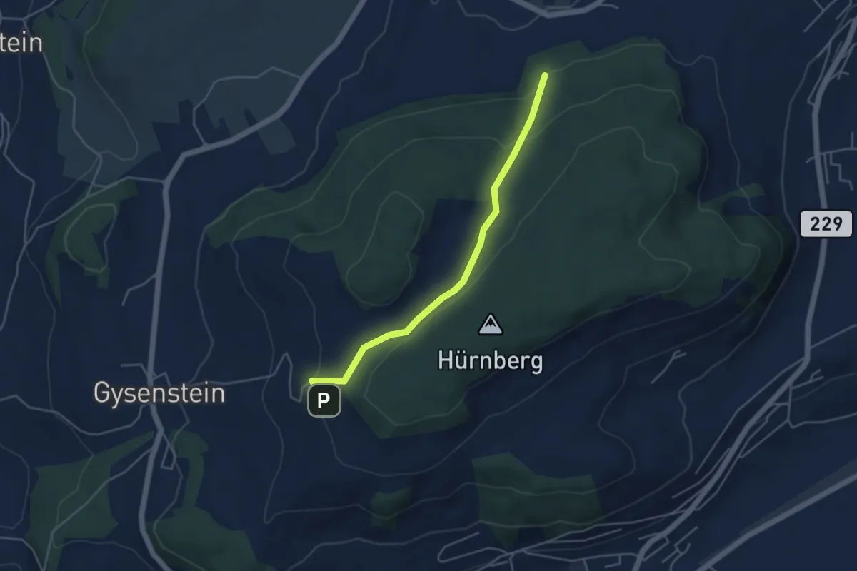
Easy · Trail
Ballenbühl – Schattacherwald
4.2 km · ↑ 130 m · 1 h 17 min · 11 km away
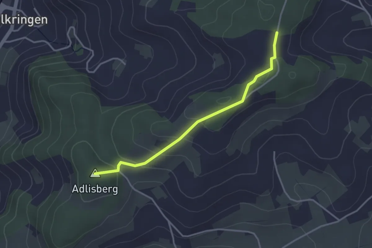
Easy · Summit
Adlisberg – Neunhaupt
3.0 km · ↑ 91 m · 55 min · 11 km away
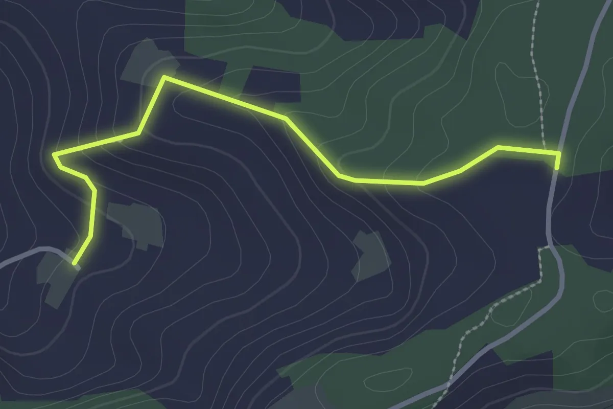
Easy · Trail
Neunhaupt – Golpisberg
2.7 km · ↑ 131 m · 56 min · 11 km away
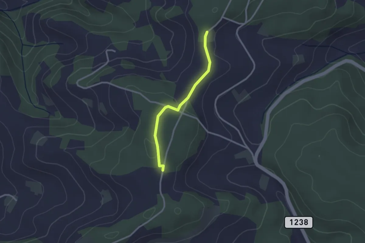
Easy · Trail
Neunhaupt – Hammegg
2.1 km · ↑ 27 m · 33 min · 11 km away
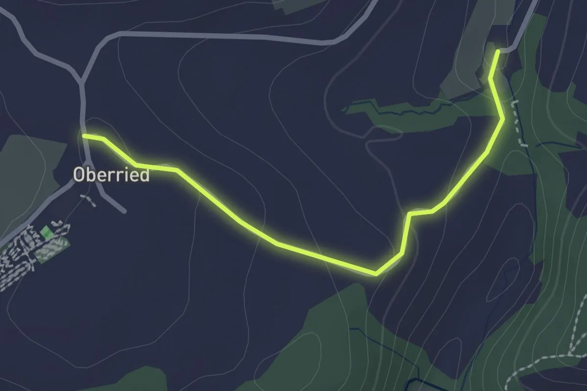
Easy · Trail
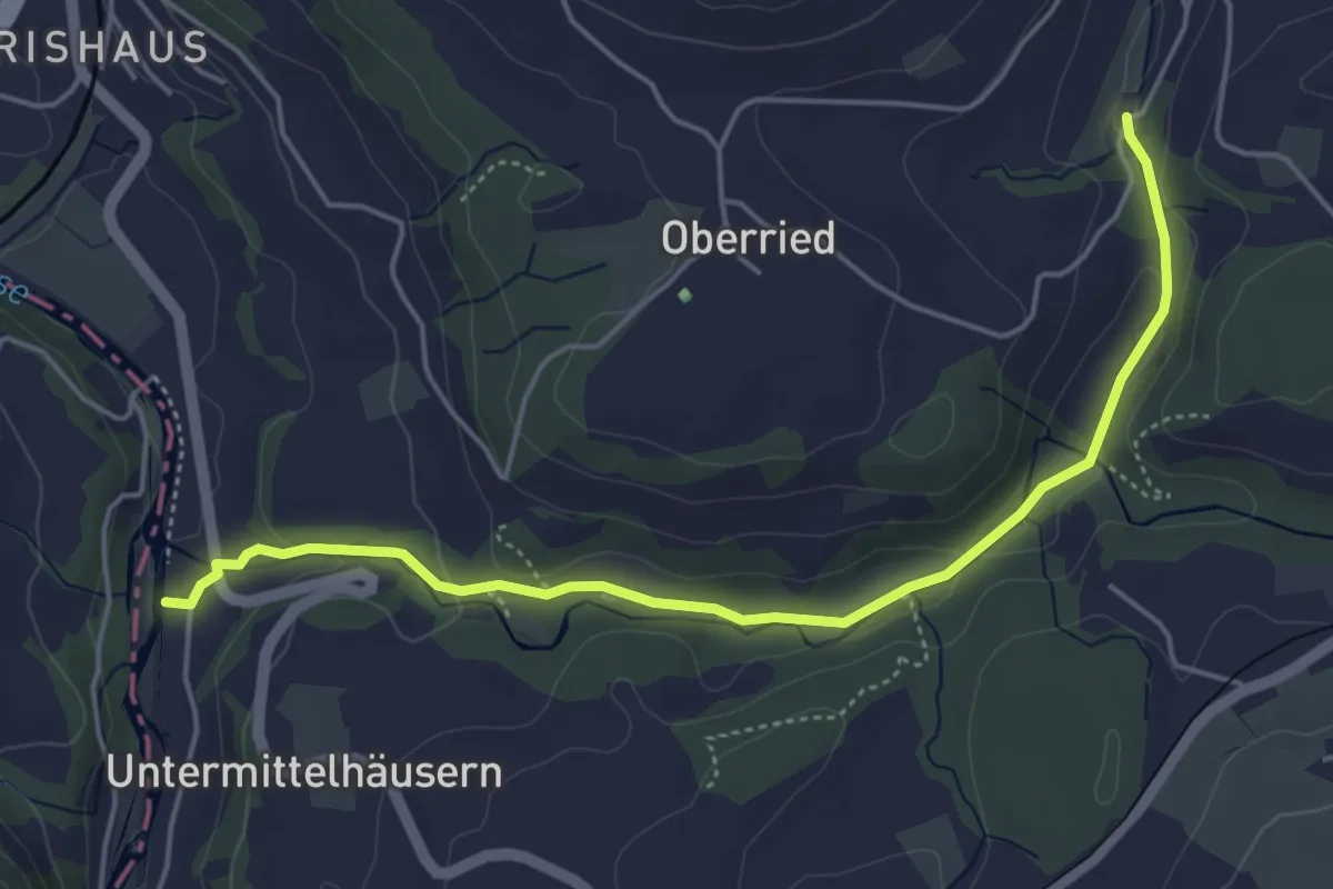
Oberried - Grabenmüli
2.2 km · ↑ 64 m · 39 min · 11 km away
Easy · Trail
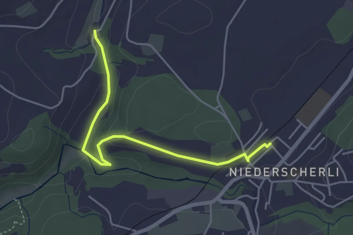
Sensematt – Grabenmüli
5.1 km · ↑ 116 m · 1 h 27 min · 11 km away
Easy · Trail
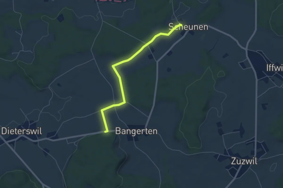
Niederscherli - Grabenmüli
3.9 km · ↑ 88 m · 1 h 7 min · 11 km away
Easy · Trail
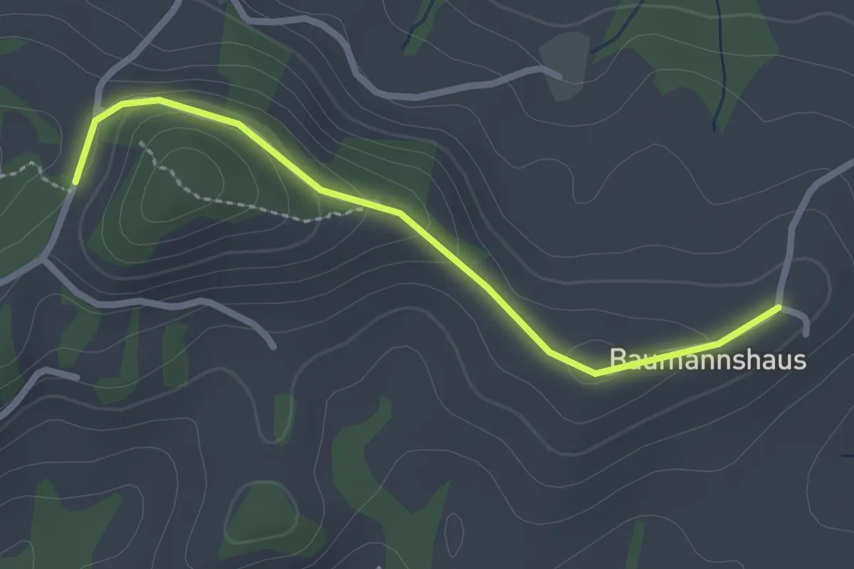
Scheunen – Hohrain
5.4 km · ↑ 75 m · 1 h 27 min · 11 km away
Easy · Trail
Tschuggen - Bumishus
2.3 km · ↑ 64 m · 41 min · 12 km away
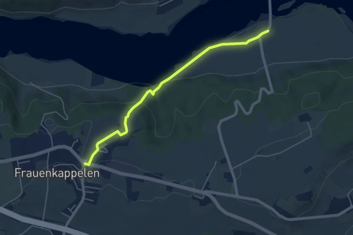
Easy · Trail
Wohlei - Frauenkappelen/Post
4.2 km · ↑ 160 m · 1 h 21 min · 12 km away
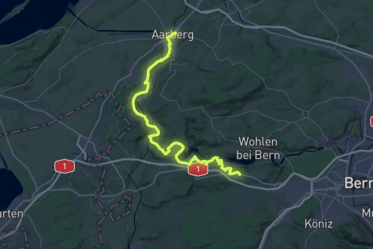
Demanding · Trail
ViaBerna Etappe 7
24.1 km · ↑ 499 m · 7 h 11 min · 12 km away
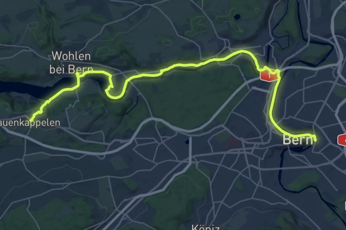
Medium · Trail
ViaBerna Etappe 8
14.8 km · ↑ 242 m · 4 h 16 min · 12 km away
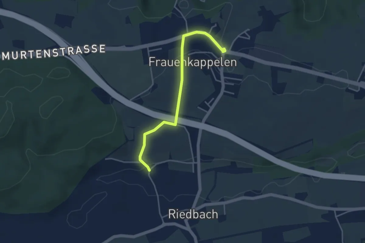
Easy · Trail
Frauenkappelen/Post - Riedbach/Mühle
3.2 km · ↑ 67 m · 54 min · 12 km away
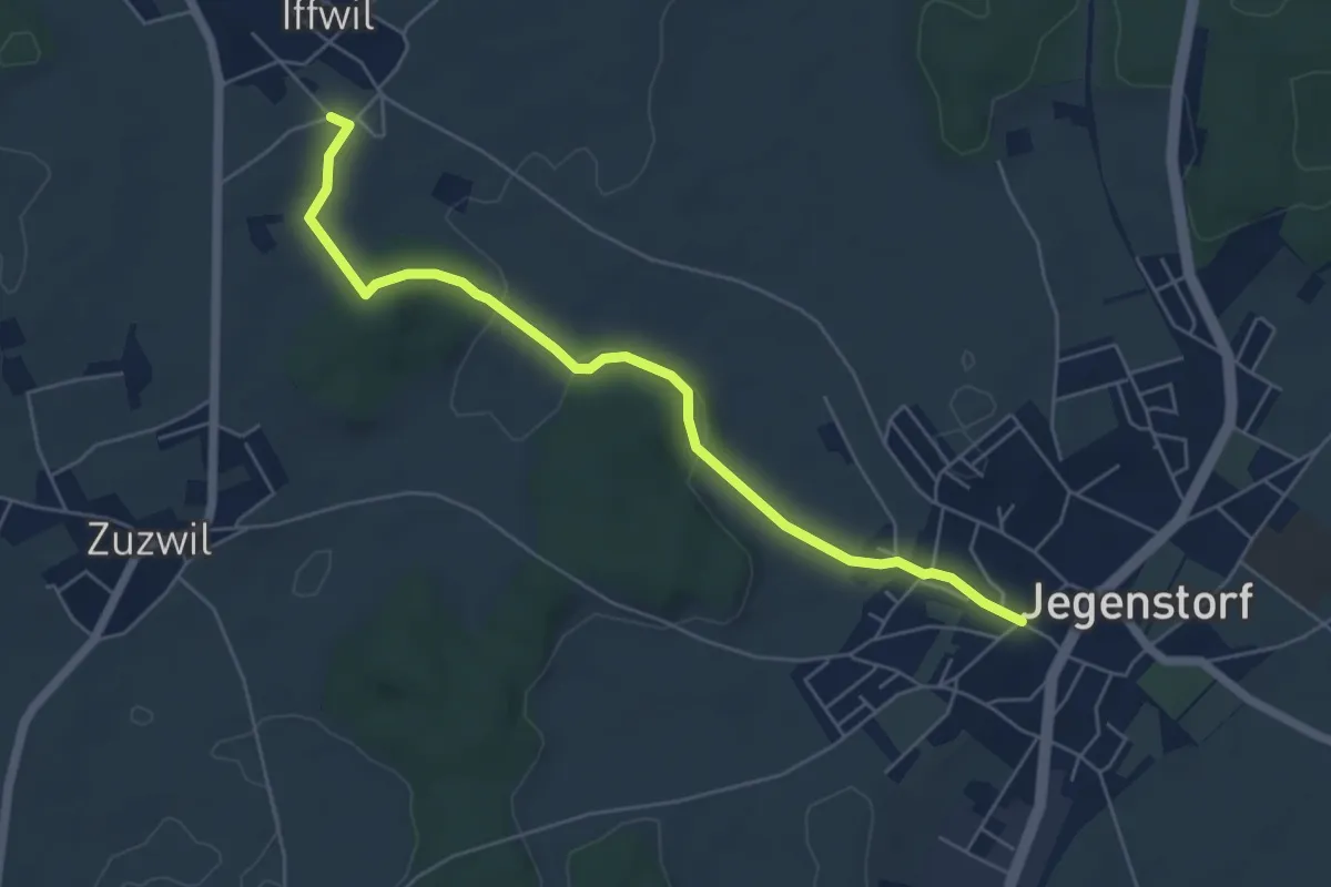
Easy · Trail
Iffwil – Jegenstorf
5.9 km · ↑ 98 m · 1 h 36 min · 12 km away
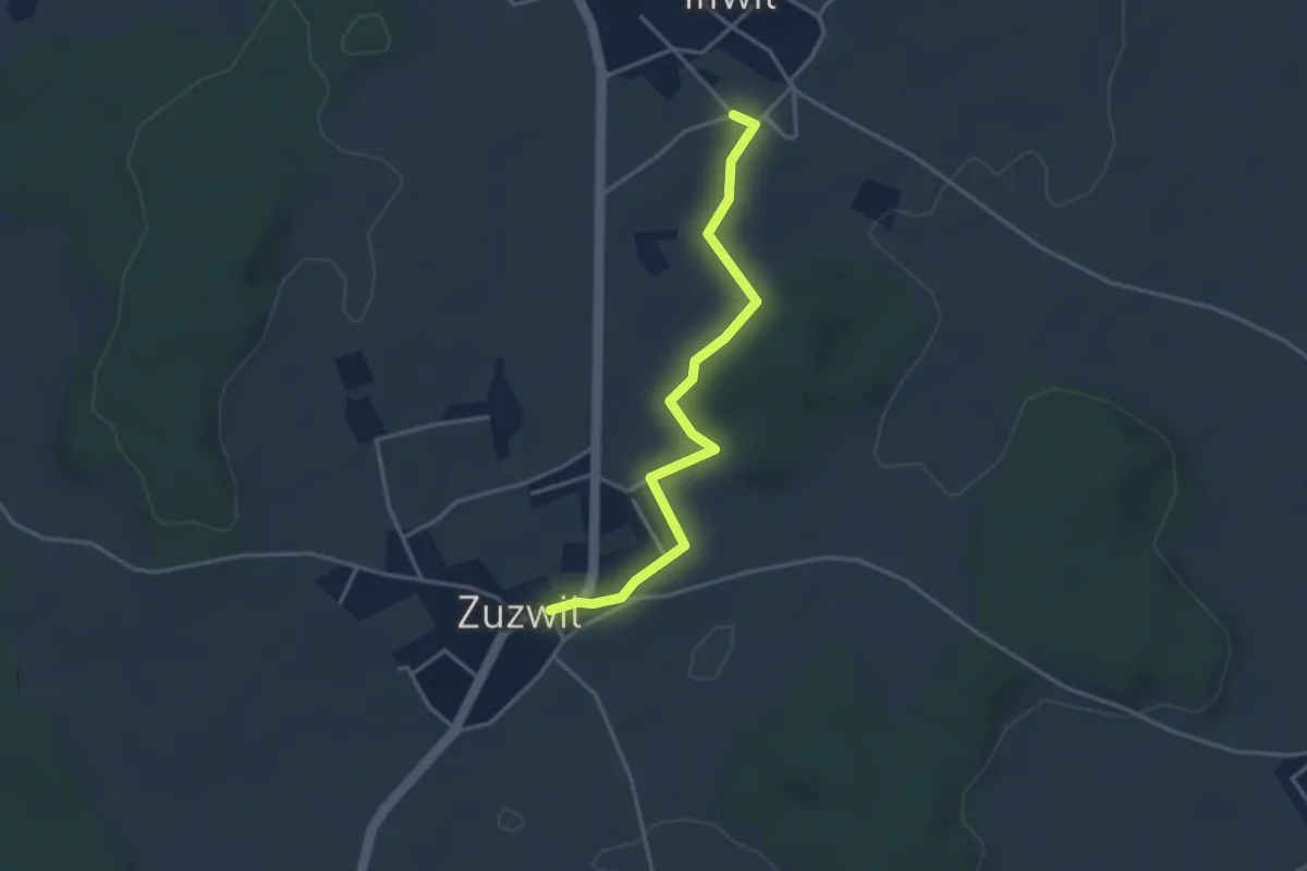
Easy · Trail
Iffwil – Zuzwil
3.5 km · ↑ 29 m · 54 min · 12 km away
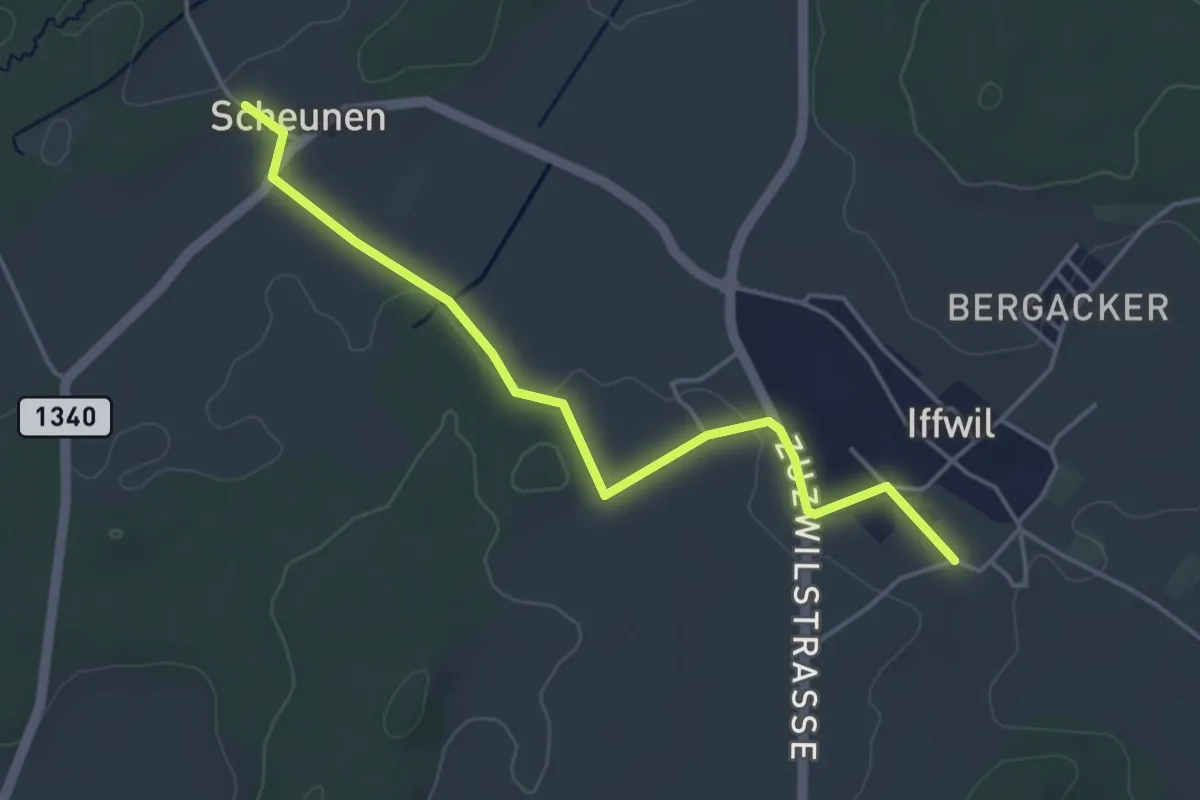
Easy · Trail
Scheunen – Iffwil
4.5 km · ↑ 46 m · 1 h 9 min · 12 km away
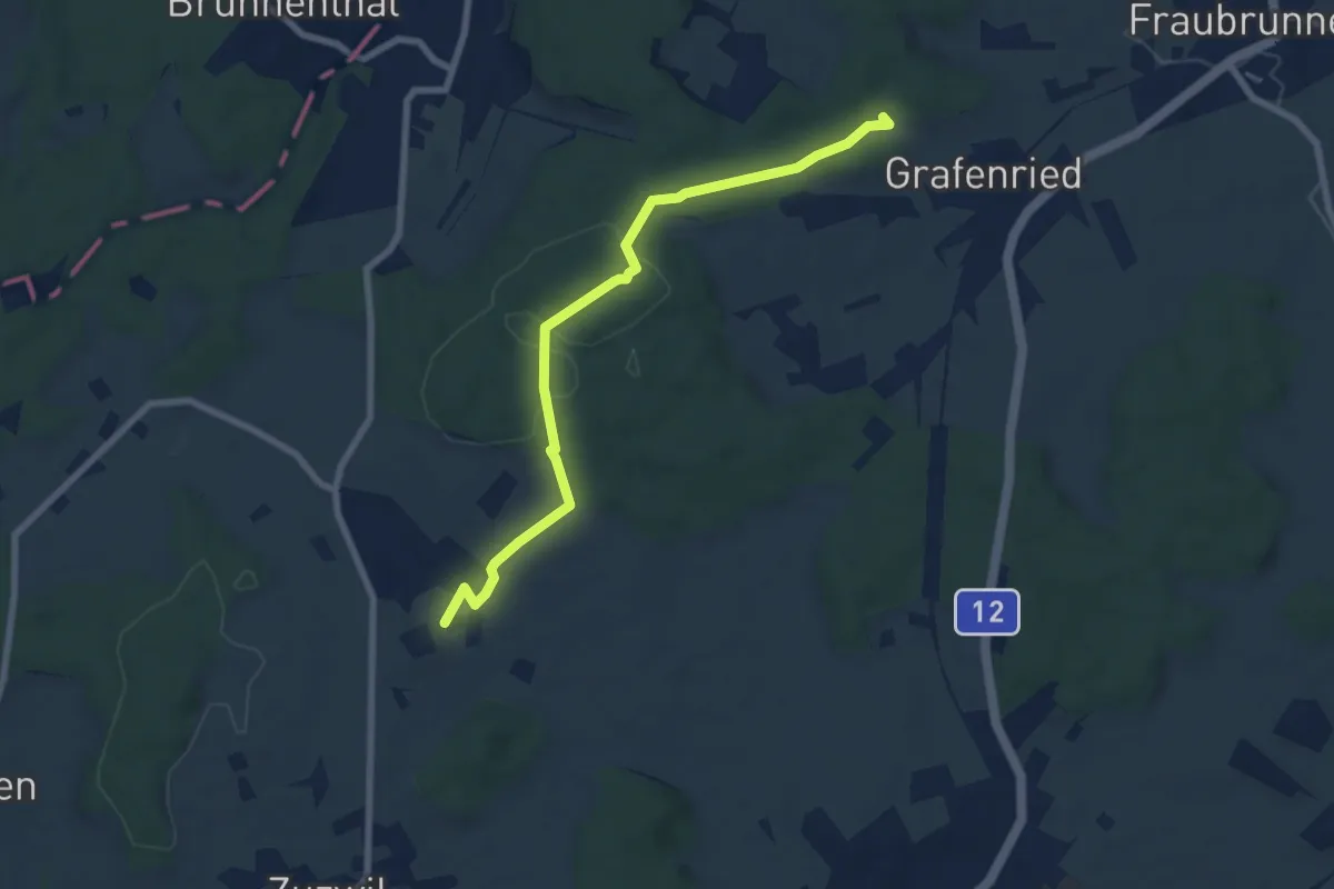
Easy · Trail
Vorder Eichsberg – Iffwil
7.5 km · ↑ 123 m · 2 h 2 min · 12 km away
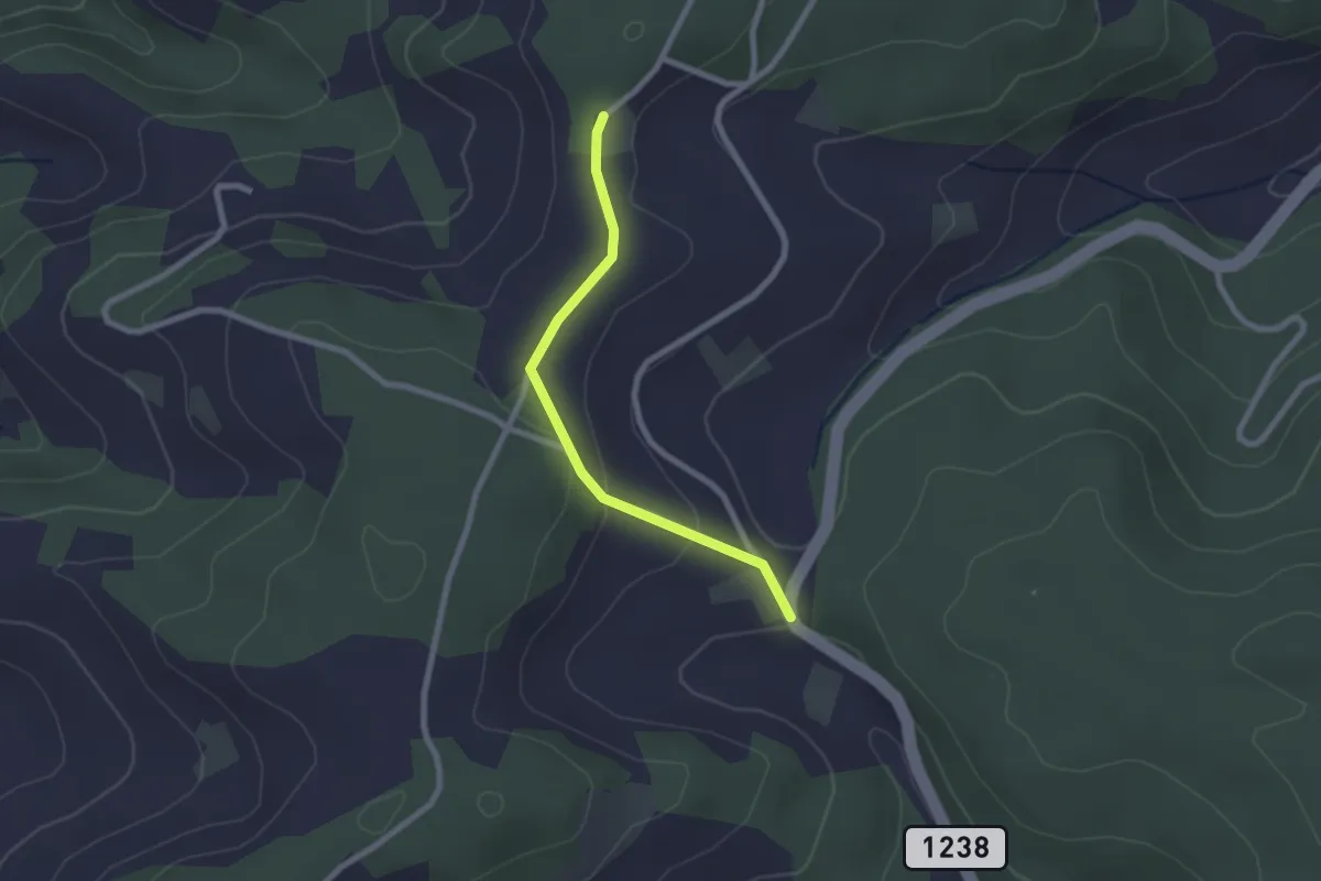
Easy · Trail
Hammegg – Tanne
2.1 km · ↑ 63 m · 38 min · 12 km away
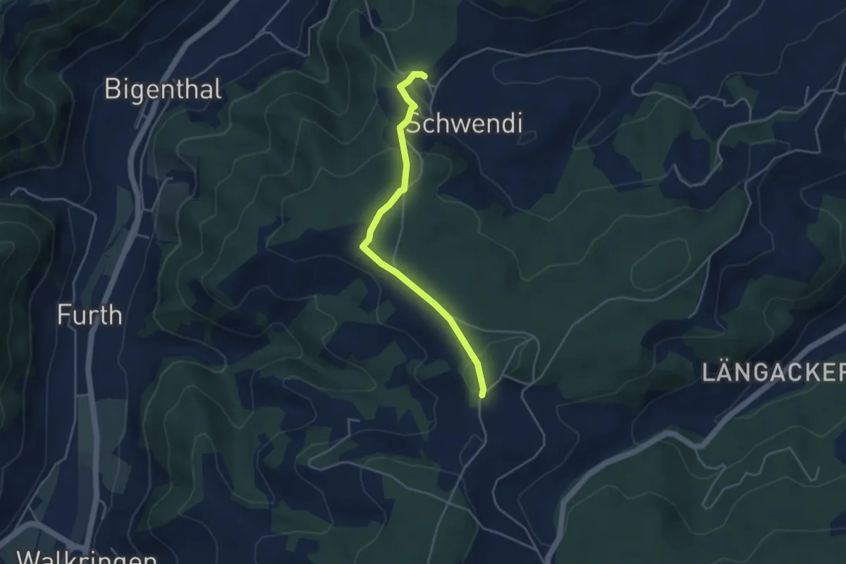
Easy · Trail
Hammwegg – Vorder Schwändi
3.8 km · ↑ 123 m · 1 h 10 min · 12 km away
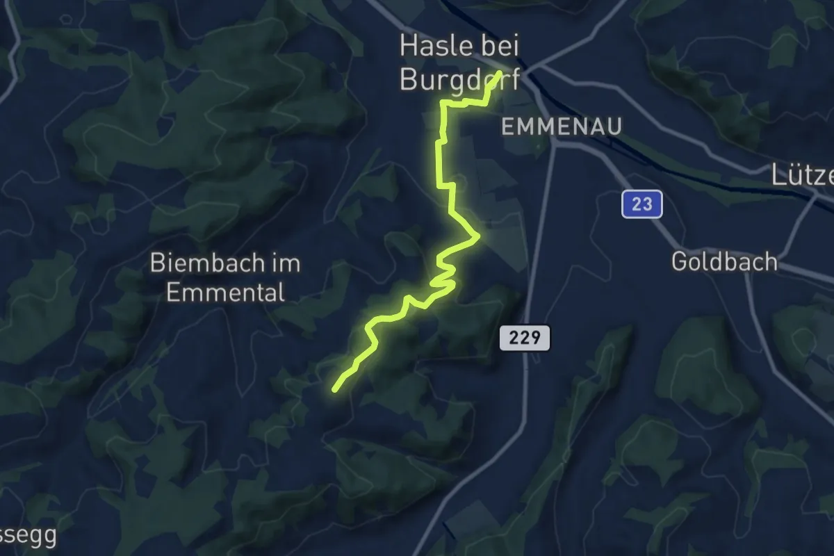
Medium · Trail
Schwand – Hasle-Rüegsau
8.7 km · ↑ 268 m · 2 h 38 min · 12 km away
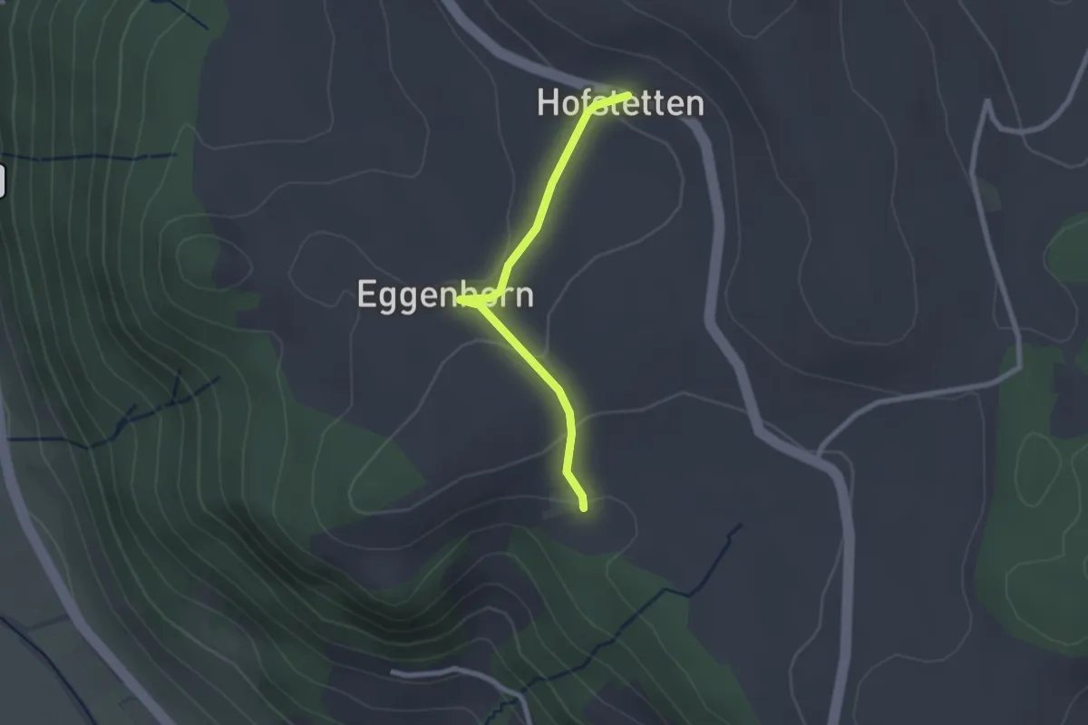
Easy · Trail
Schlatt - Hostete
2.1 km · ↑ 67 m · 38 min · 12 km away