Trails near Payerne
75 hikes starting within 15 km, nearest first.
Nearest first, page 1 of 2
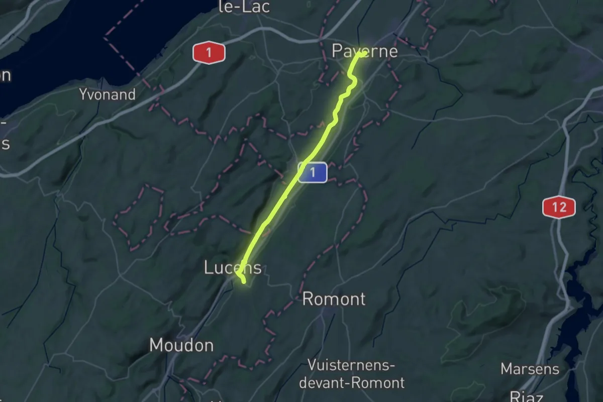
Medium · Trail
ViaJacobi
16.5 km · ↑ 81 m · 4 h 16 min · under 1 km away
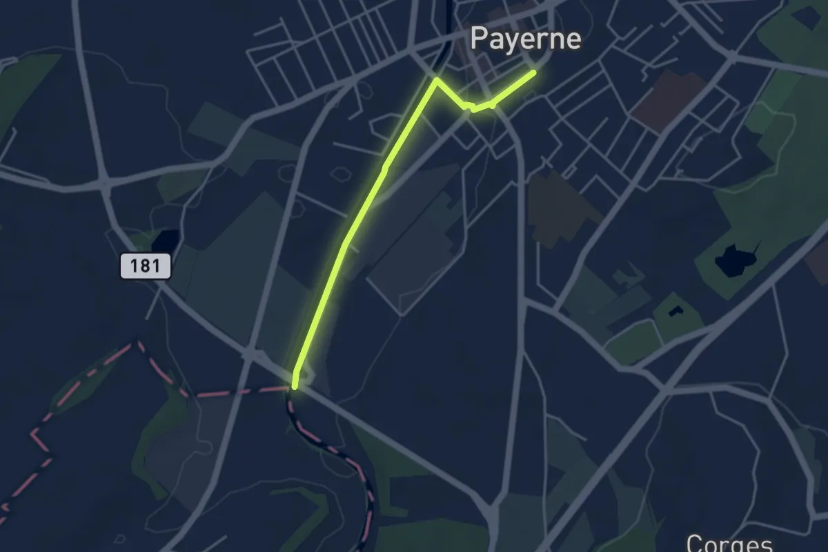
Easy · Trail
Payerne Gare – Payerne
3.5 km · ↑ 4 m · 50 min · under 1 km away
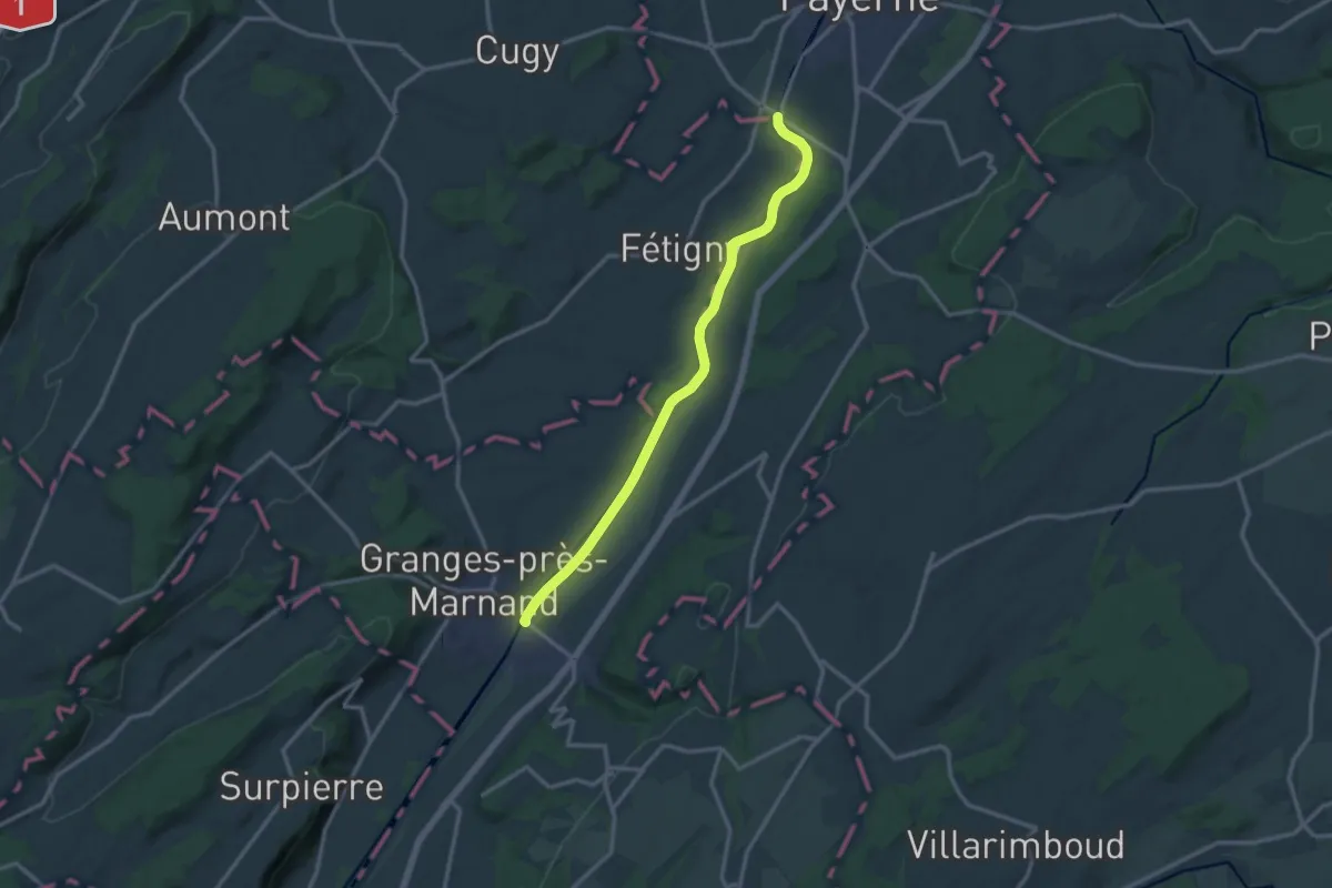
Medium · Trail
Payerne – Granges-près-Marnand
13.4 km · ↑ 52 m · 3 h 16 min · 2 km away
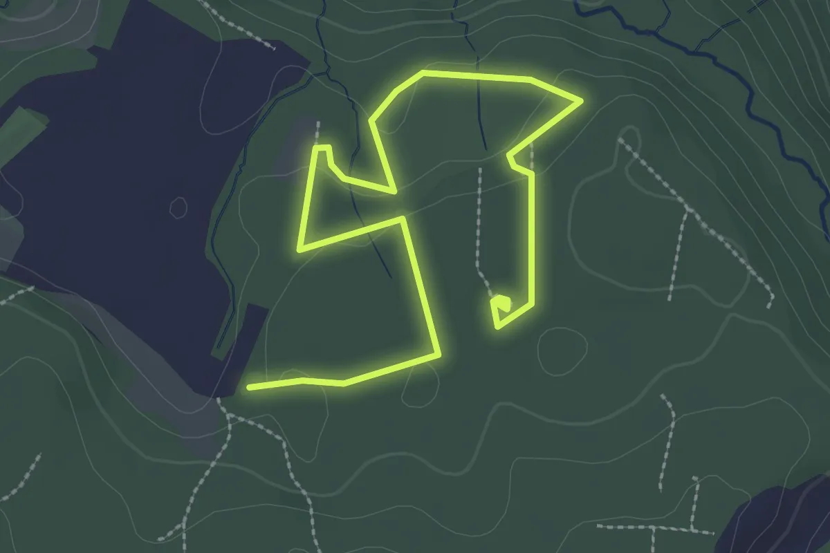
Easy · Trail
Sentier mycologique Chanéaz
3.8 km · ↑ 65 m · 1 h 3 min · 5 km away
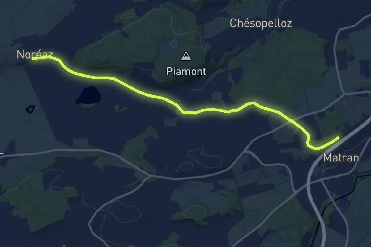
Medium · Trail
Noréaz - Matran
12.0 km · ↑ 177 m · 3 h 13 min · 7 km away
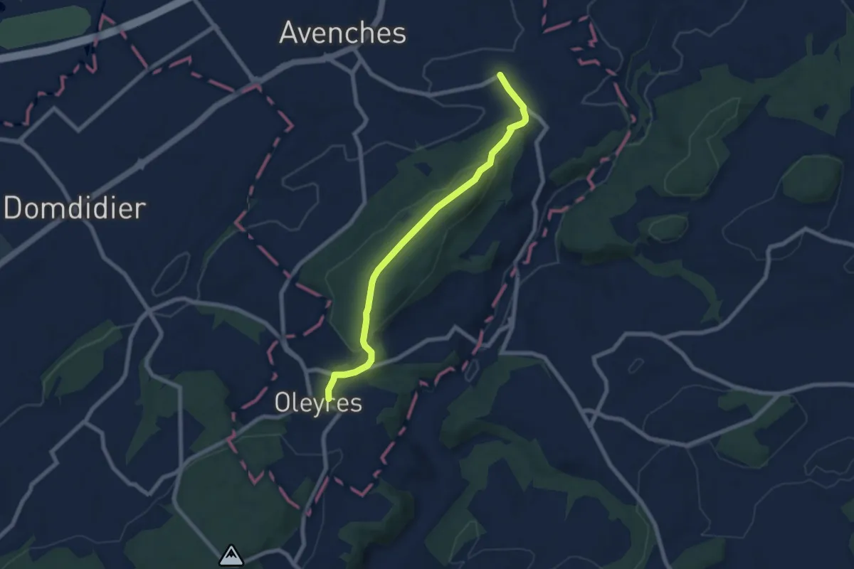
Easy · Trail
Donatyre – Oleyres
6.8 km · ↑ 223 m · 2 h 5 min · 8 km away
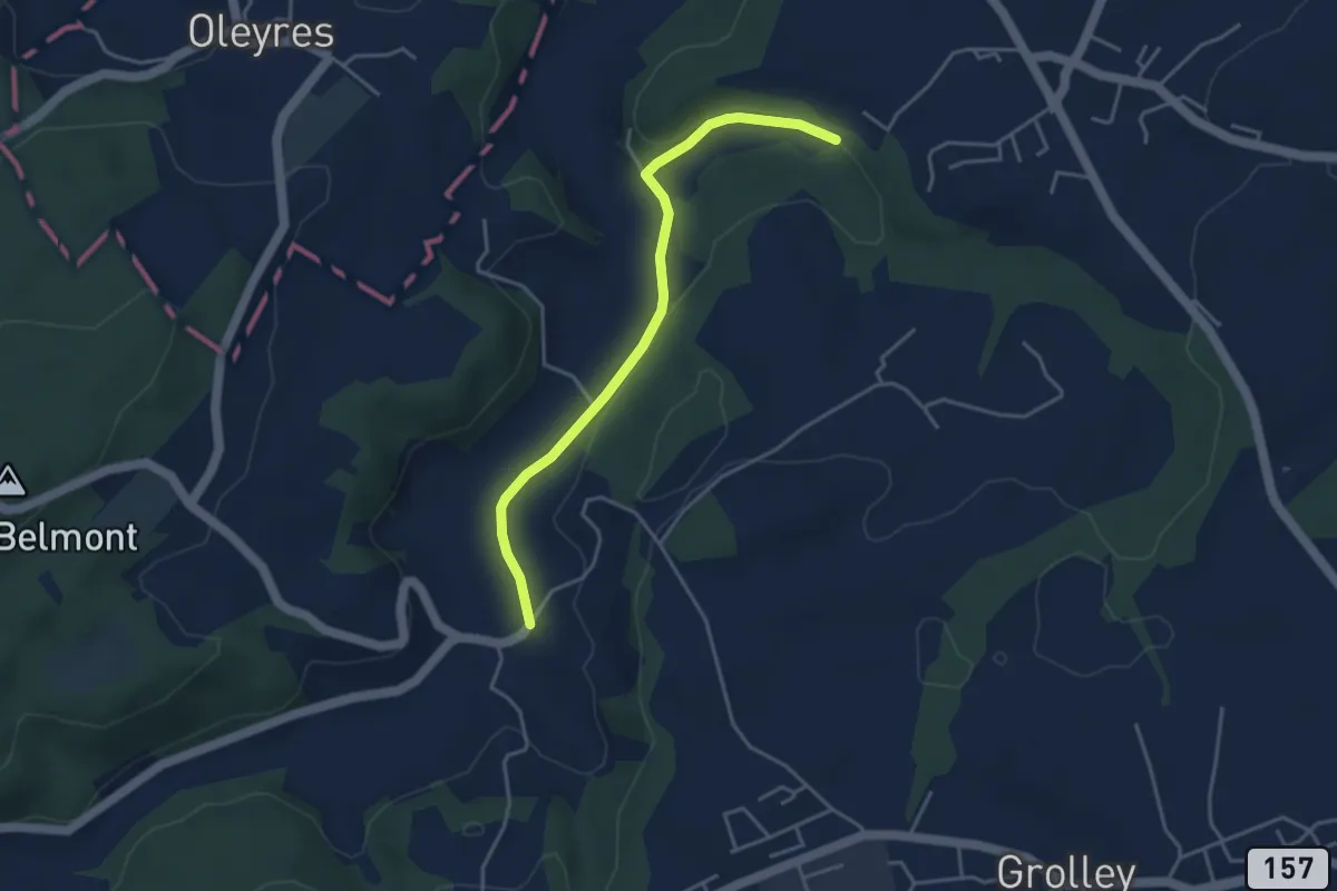
Easy · Trail
Chandon - Le Grabou Cne de Misery
4.0 km · ↑ 70 m · 1 h 5 min · 9 km away
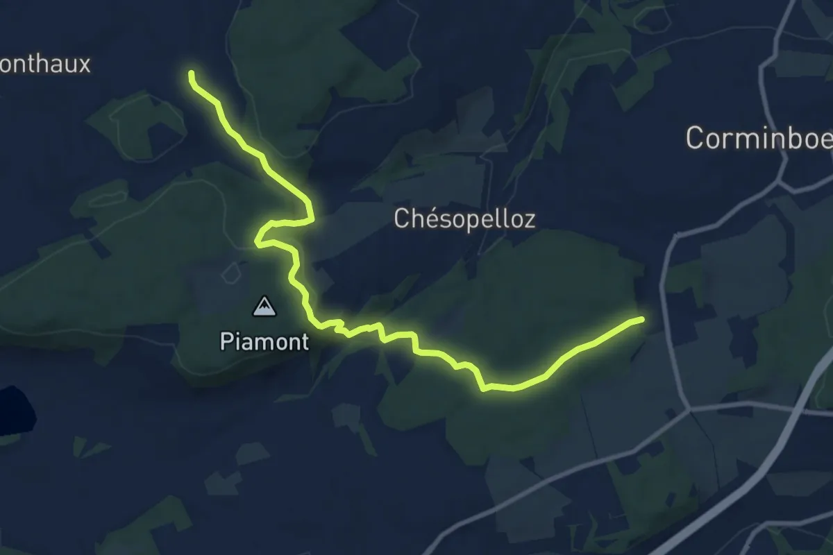
Medium · Trail
Nierlet-les-Bois Pré de Chêne - Corminboeuf Village Suisse
10.2 km · ↑ 295 m · 3 h 3 min · 9 km away
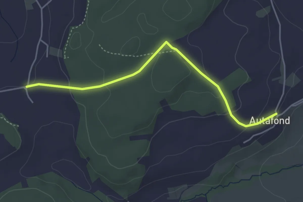
Easy · Trail
Autafond - Nierlet-les-Bois Pré de Chêne
4.1 km · ↑ 123 m · 1 h 13 min · 9 km away
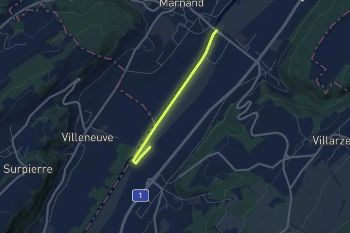
Easy · Trail
Granges-près-Marnand – Henniez
4.6 km · ↑ 4 m · 1 h 5 min · 9 km away
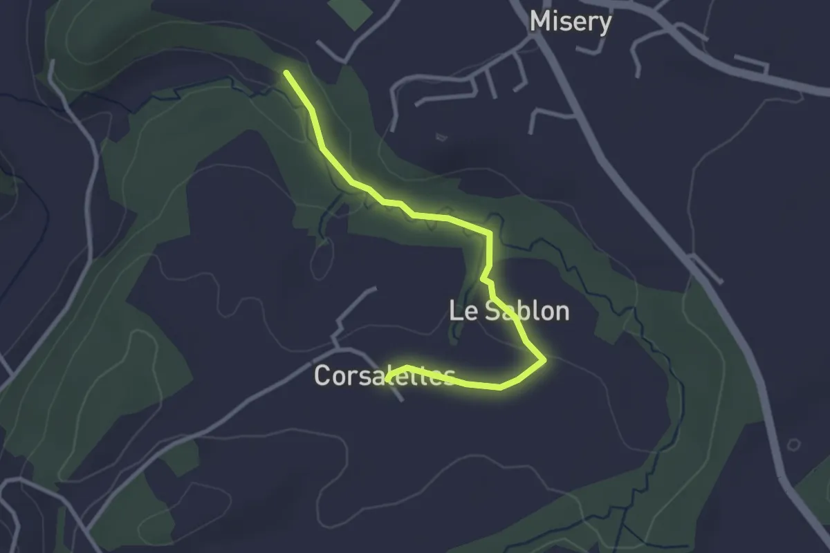
Easy · Trail
Le Grabou Cne de Misery - Corsalettes
2.9 km · ↑ 45 m · 46 min · 10 km away
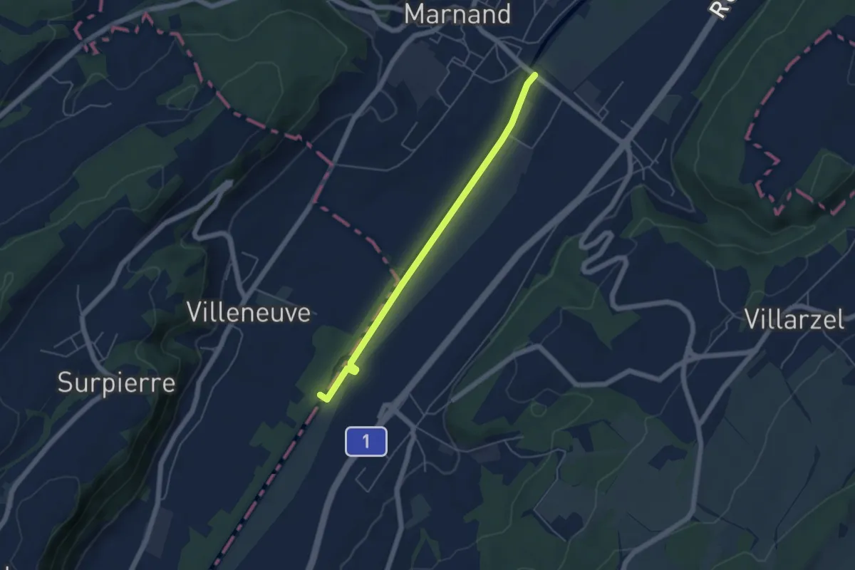
Easy · Trail
Granges-près-Marnand – Villeneuve
4.7 km · ↑ 12 m · 1 h 8 min · 10 km away
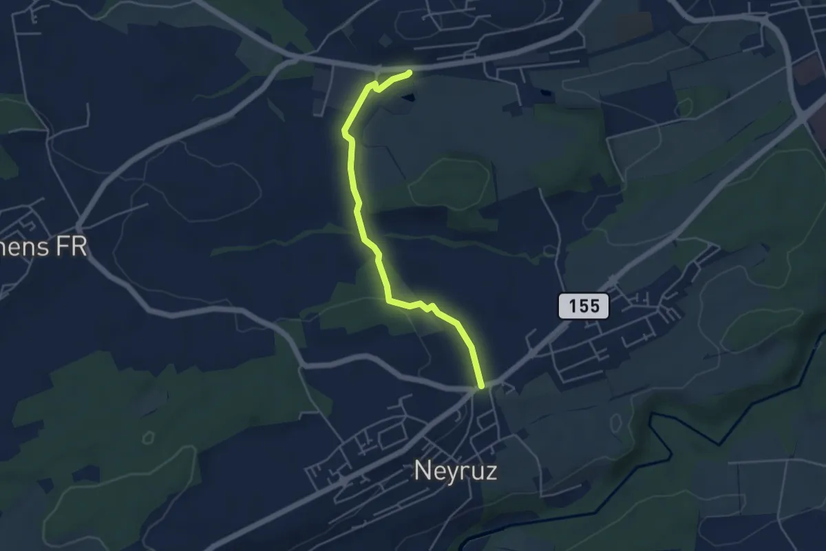
Easy · Trail
Rosé - Neyruz
4.2 km · ↑ 80 m · 1 h 10 min · 10 km away
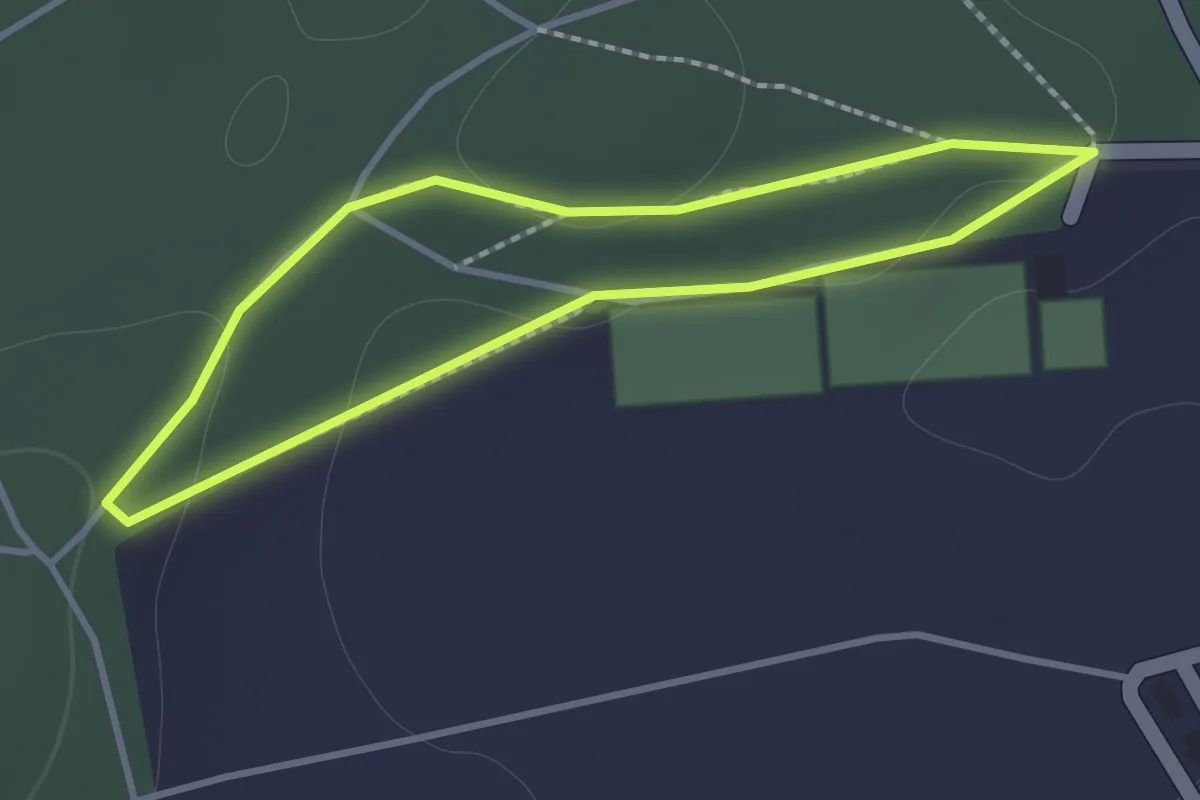
Easy · Trail
Nyruz - Sentier botanique
1.2 km · ↑ 10 m · 19 min · 10 km away
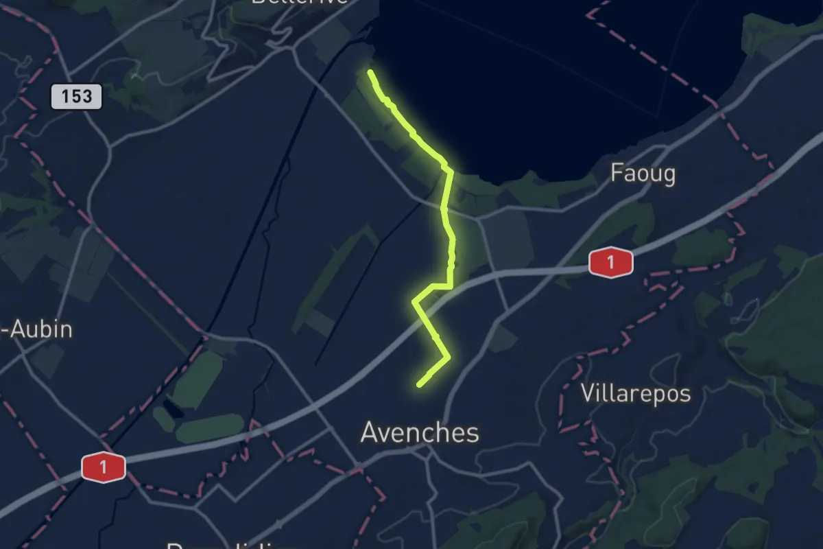
Medium · Trail
Avenches - fixme
9.1 km · ↑ 17 m · 2 h 11 min · 10 km away
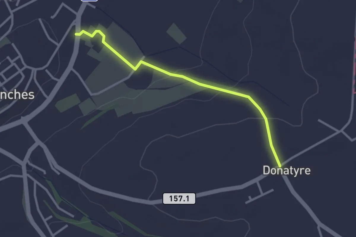
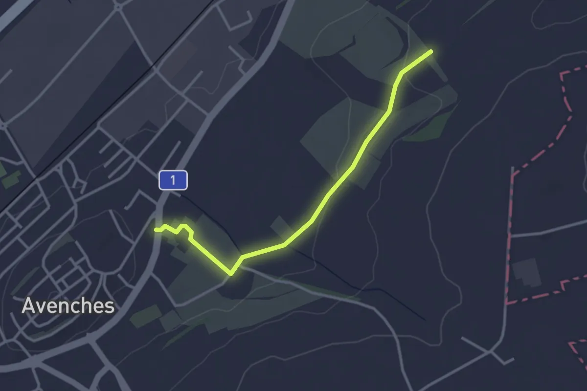
Easy · Trail
Avenches - Donatyre
2.6 km · ↑ 58 m · 44 min · 11 km away
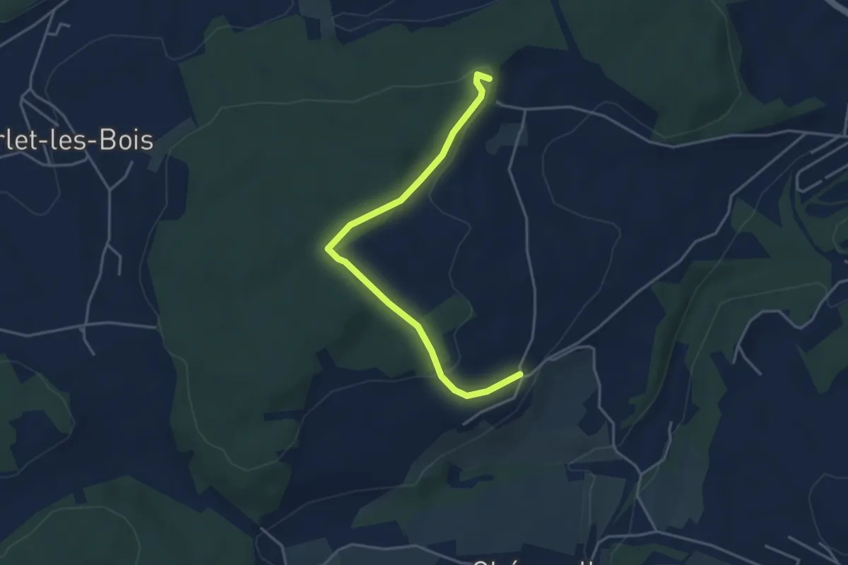
Easy · Trail
La Porte de l'Est - Le Cigognier
3.0 km · ↑ 37 m · 47 min · 11 km away
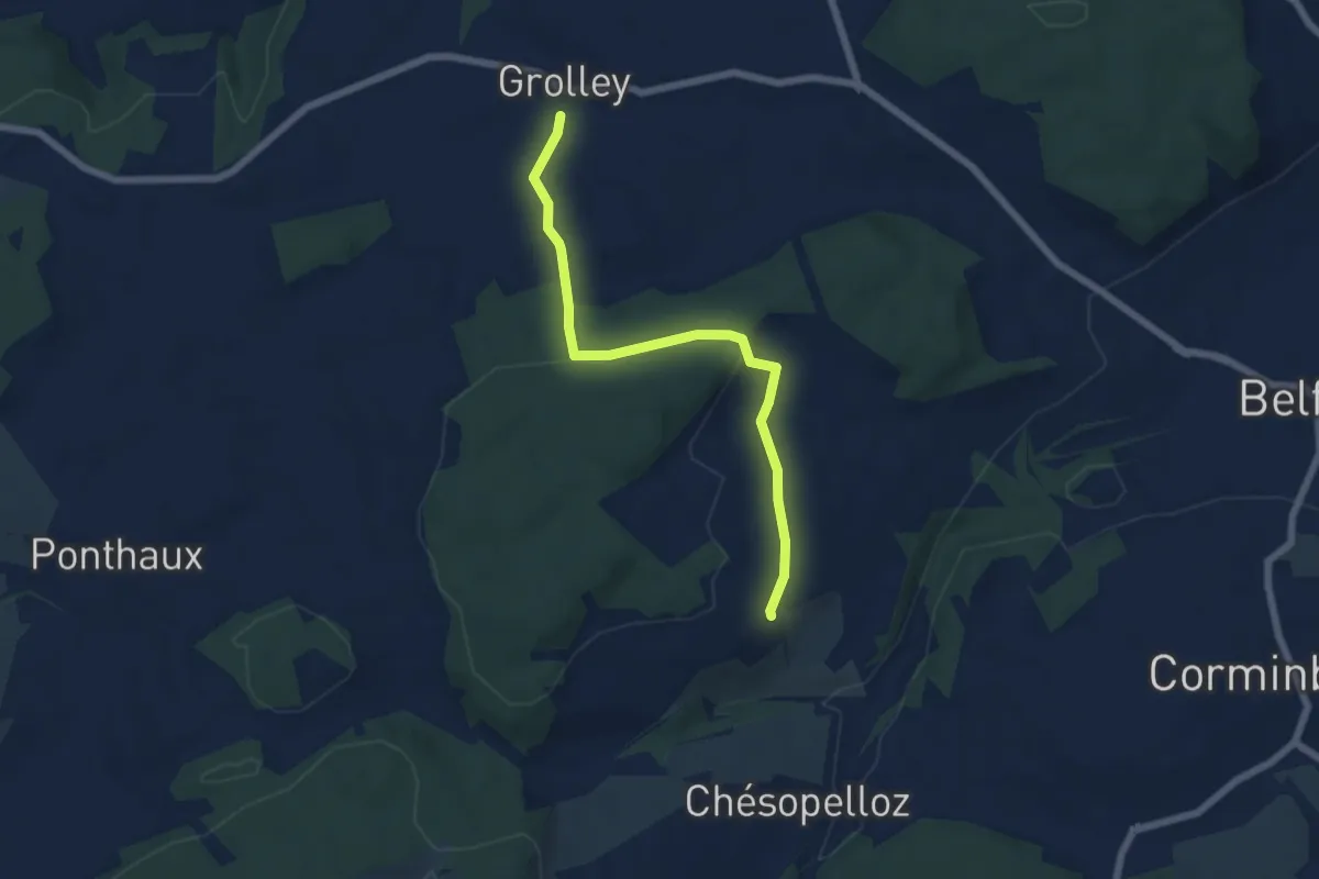
Easy · Trail
Circuit de Belfaux
3.9 km · ↑ 107 m · 1 h 10 min · 11 km away
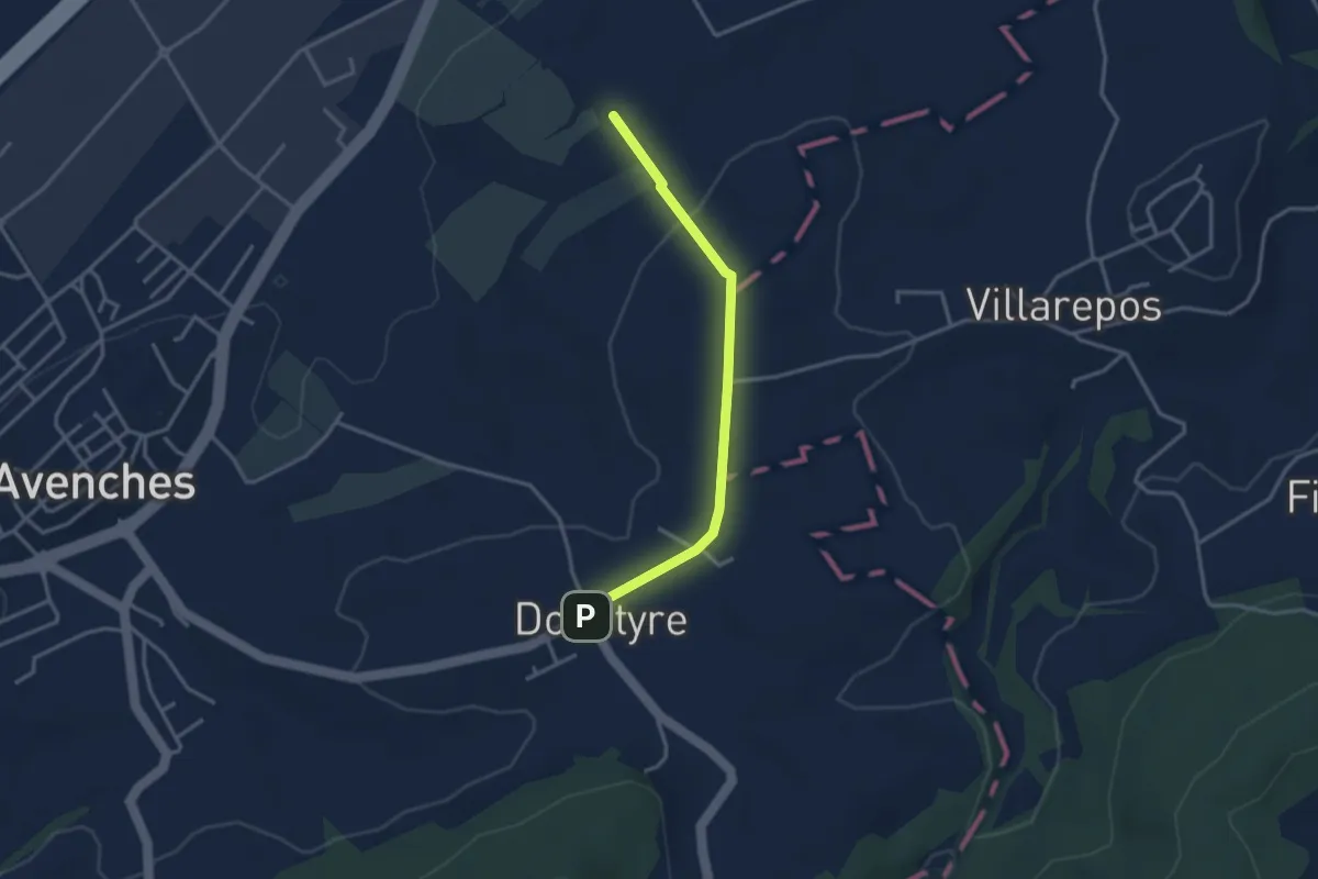
Easy · Trail
Grolley - Autafond
5.9 km · ↑ 162 m · 1 h 45 min · 11 km away
Easy · Trail
La Porte de l'Est - Donatyre
3.1 km · ↑ 36 m · 48 min · 11 km away
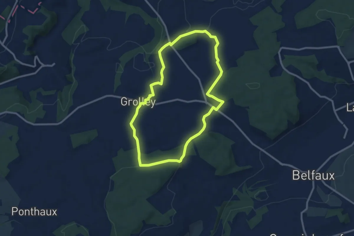
Easy · Trail
Circuit pédestre 2 de Grolley
7.1 km · ↑ 165 m · 2 h 9 min · 11 km away
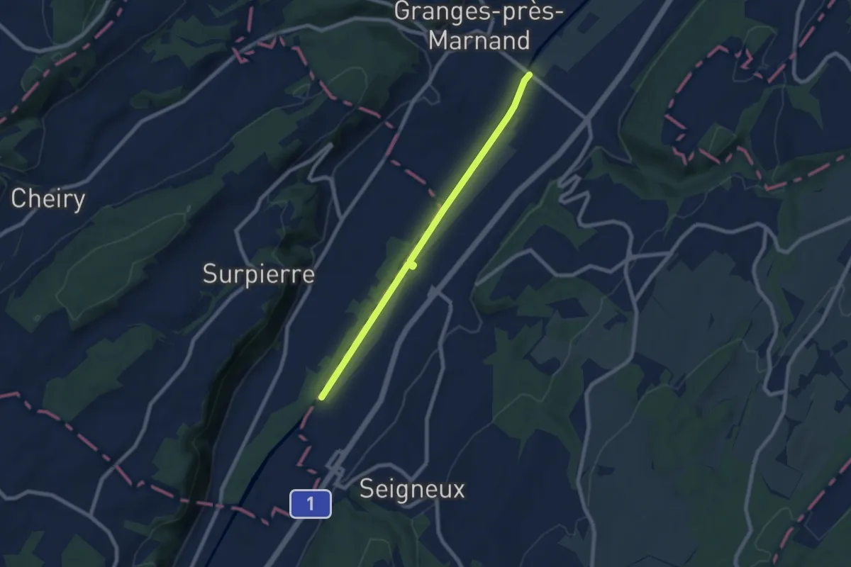
Easy · Trail
Granges-près-Marnand – Lucens
7.0 km · ↑ 13 m · 1 h 41 min · 11 km away
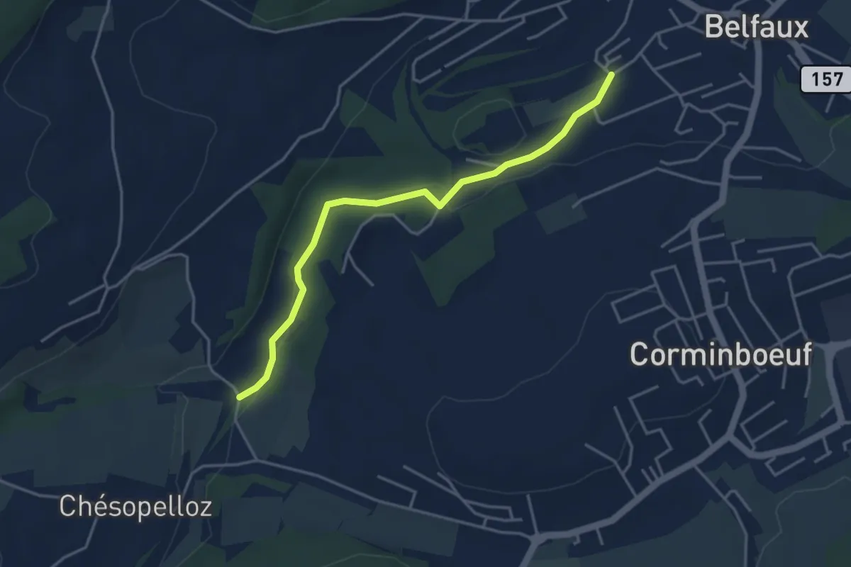
Easy · Trail
Le Moulin - Belfaux rte de Chésopelloz
3.9 km · ↑ 83 m · 1 h 6 min · 11 km away
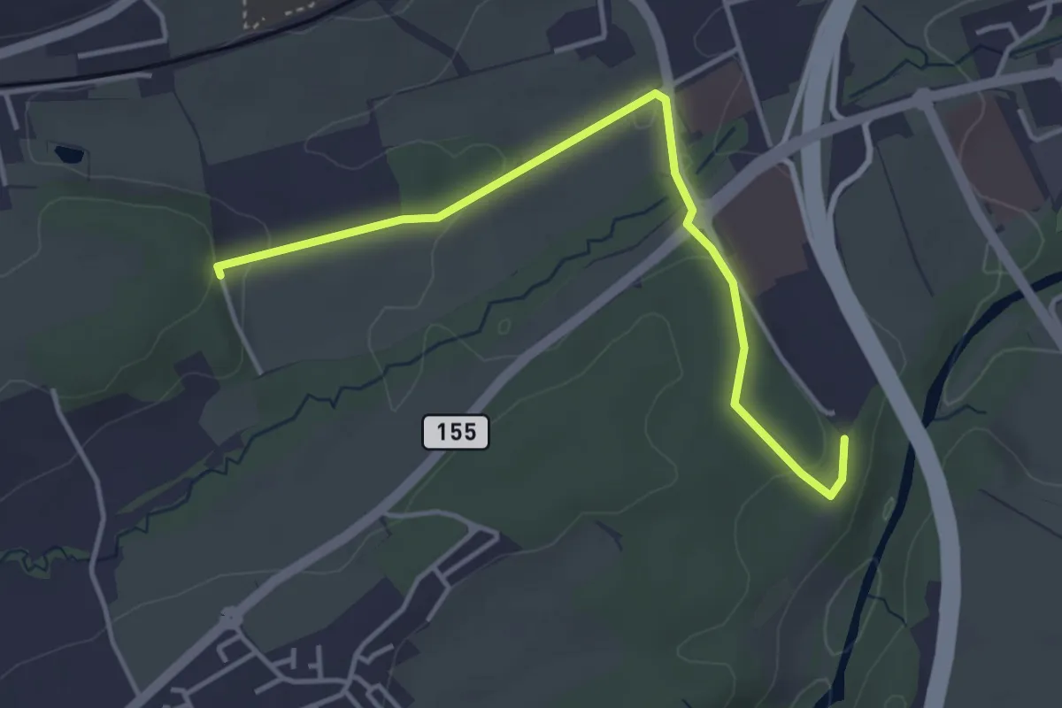
Easy · Trail
Matran Bois de Chavagny - Matran Centre commercial
4.1 km · ↑ 108 m · 1 h 12 min · 11 km away
Easy · Trail
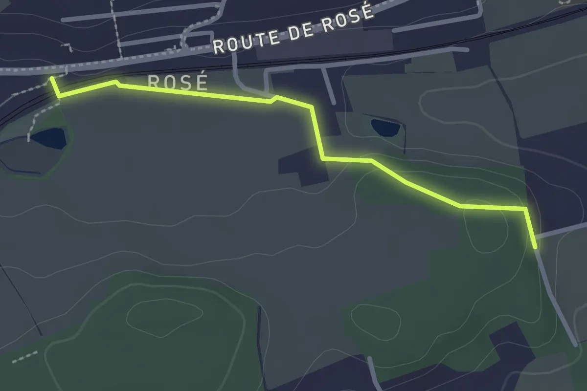
Matran Bois de Chavigny - Rosé
2.3 km · ↑ 20 m · 36 min · 11 km away
Easy · Trail
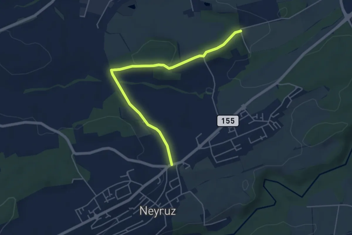
Neyruz - Matran Bois de Chavigny
4.6 km · ↑ 97 m · 1 h 18 min · 11 km away
Easy · Trail
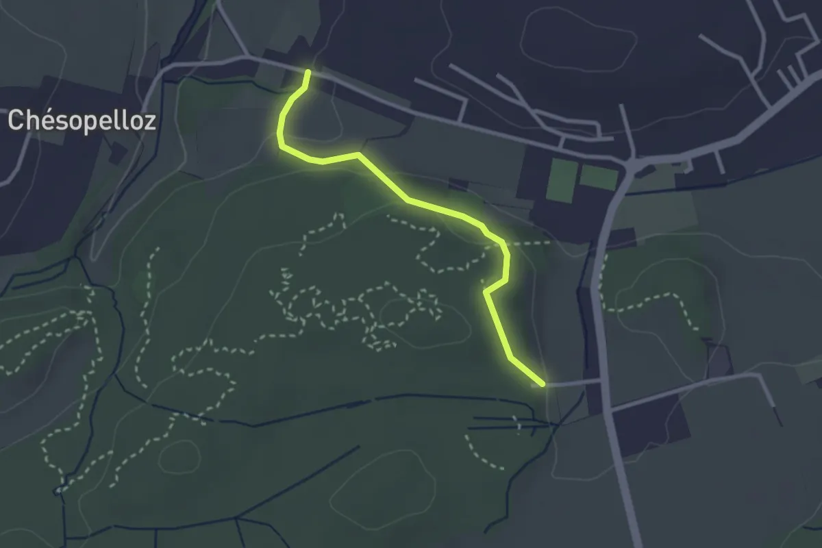
Corminboeuf Village Suisse - Chésopelloz
2.5 km · ↑ 69 m · 44 min · 11 km away
Easy · Trail
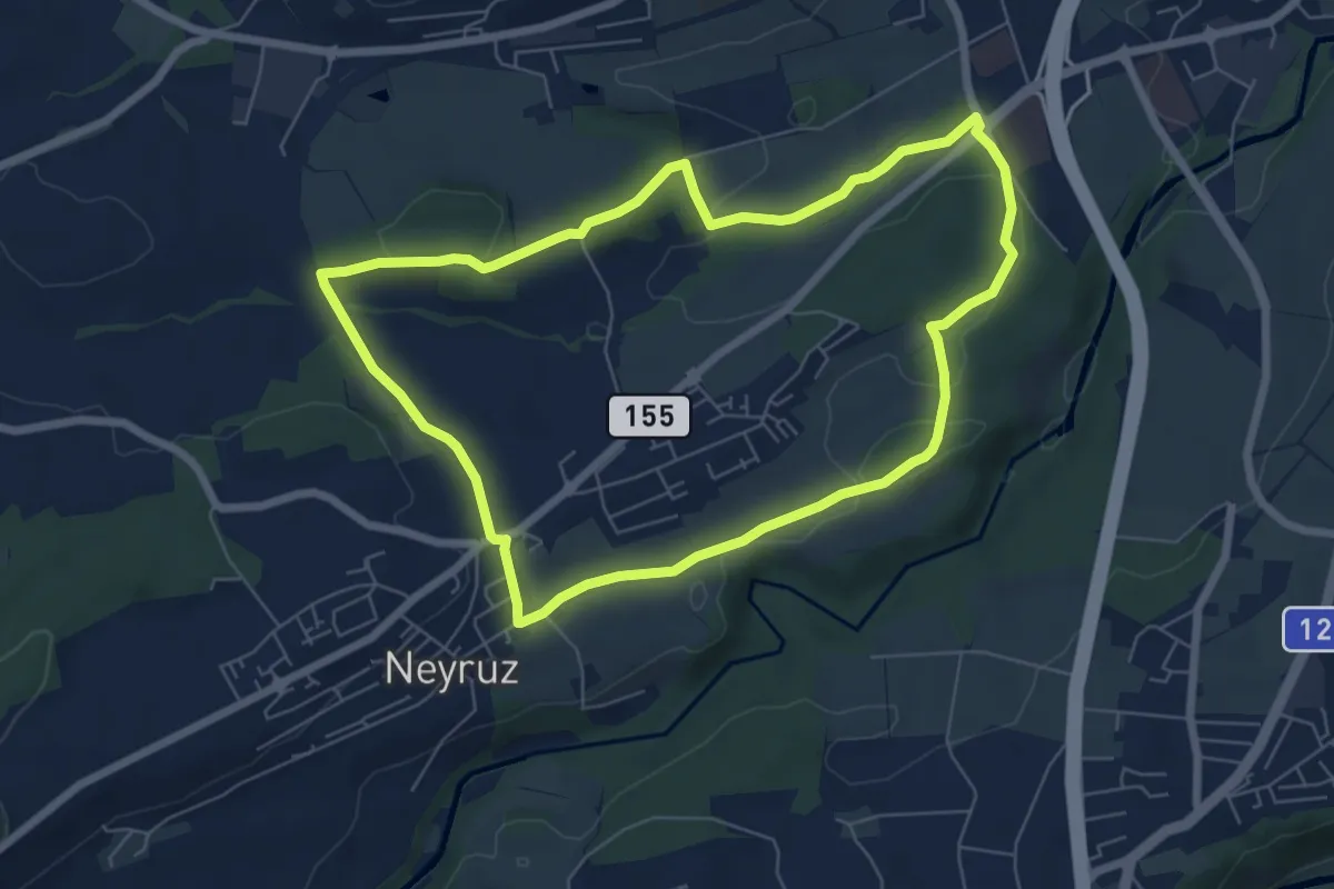
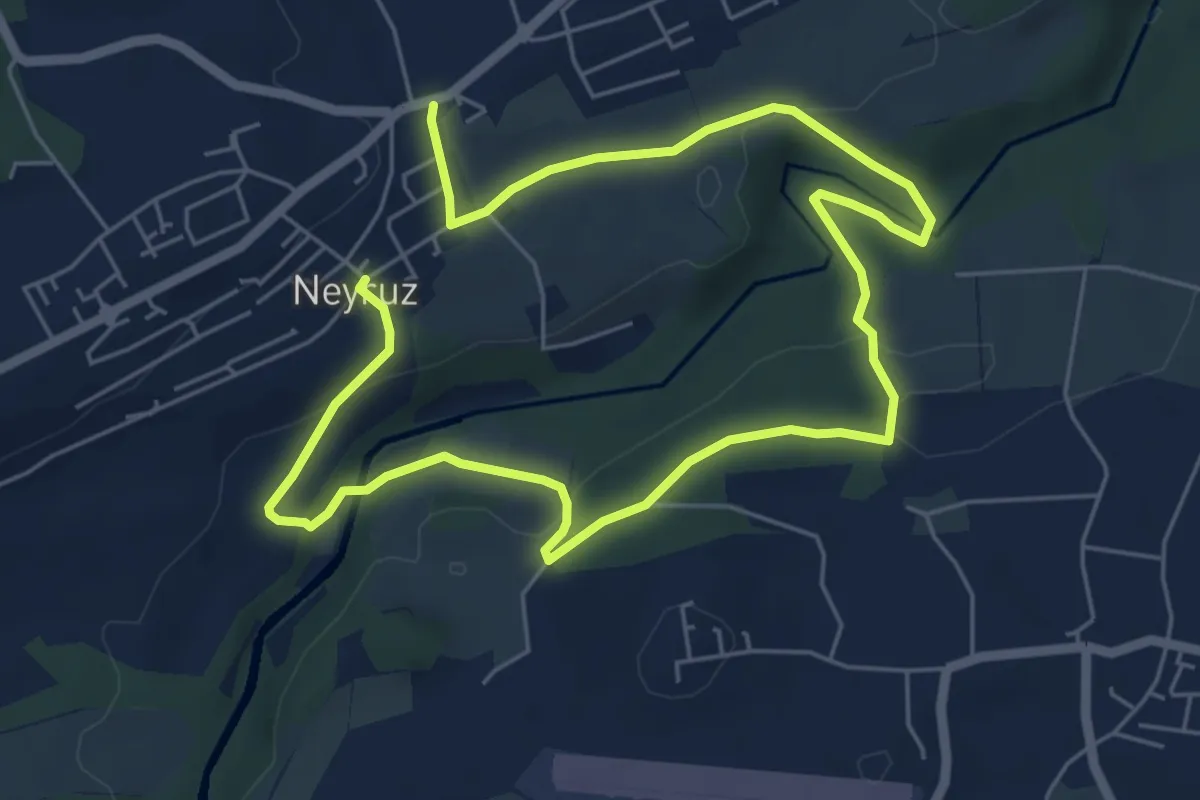
Neyruz - Sentier jaune🟡
6.5 km · ↑ 107 m · 1 h 52 min · 11 km away
Medium · Trail
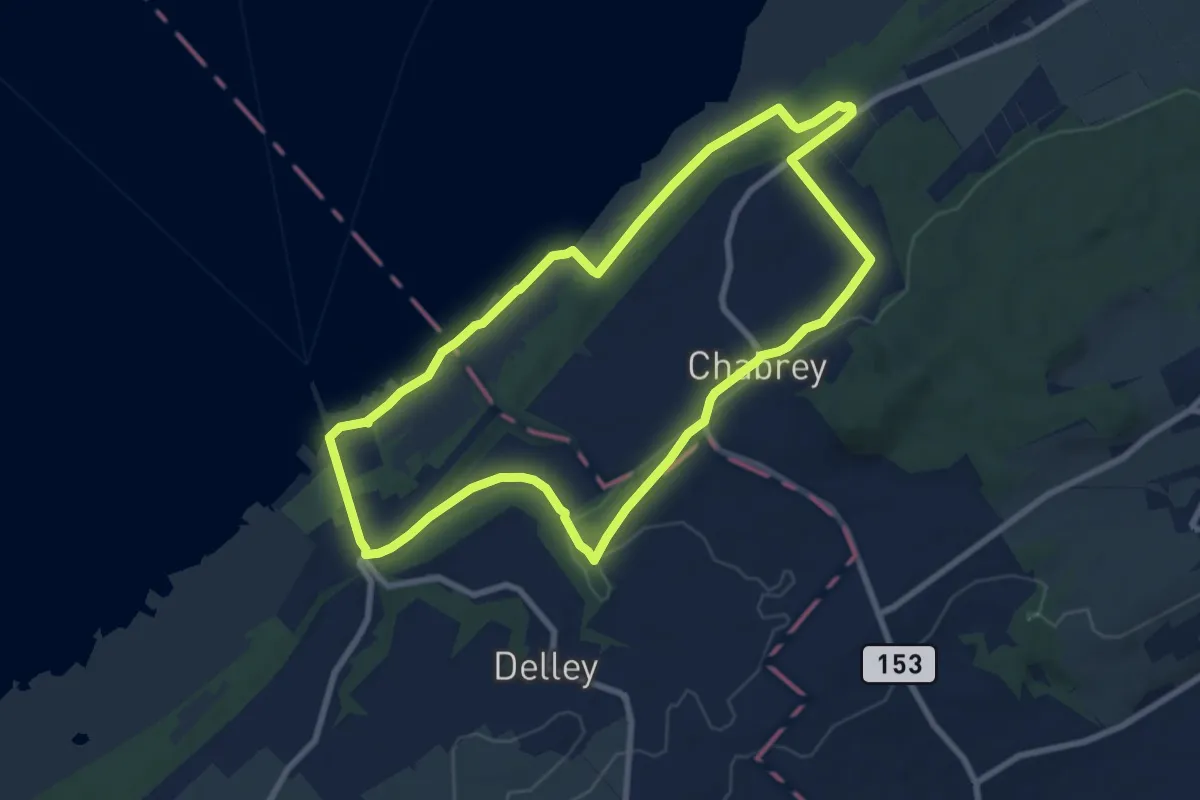
Neyruz - Sentier Rouge🔴
9.6 km · ↑ 260 m · 2 h 50 min · 11 km away
Medium · Trail
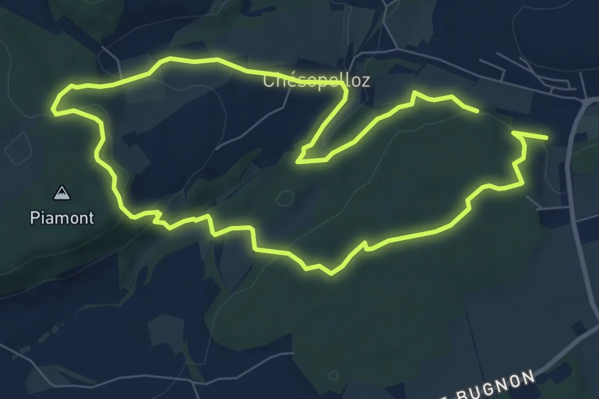
Sentier Nature
8.4 km · ↑ 99 m · 2 h 19 min · 12 km away
Easy · Trail
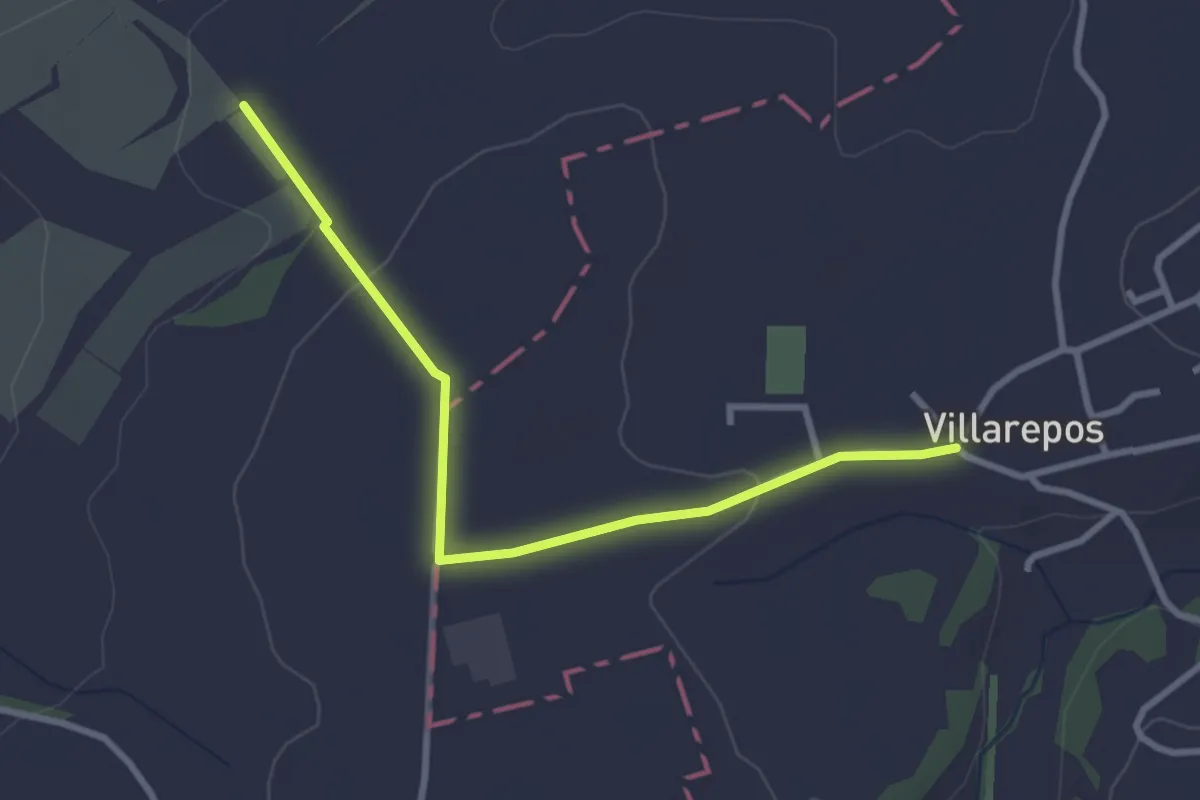
Dragon bleu 🐉 - Au fil de l'eau (1h10m ou 2h) - Corminboeuf
7.0 km · ↑ 191 m · 2 h 9 min · 12 km away
Easy · Trail
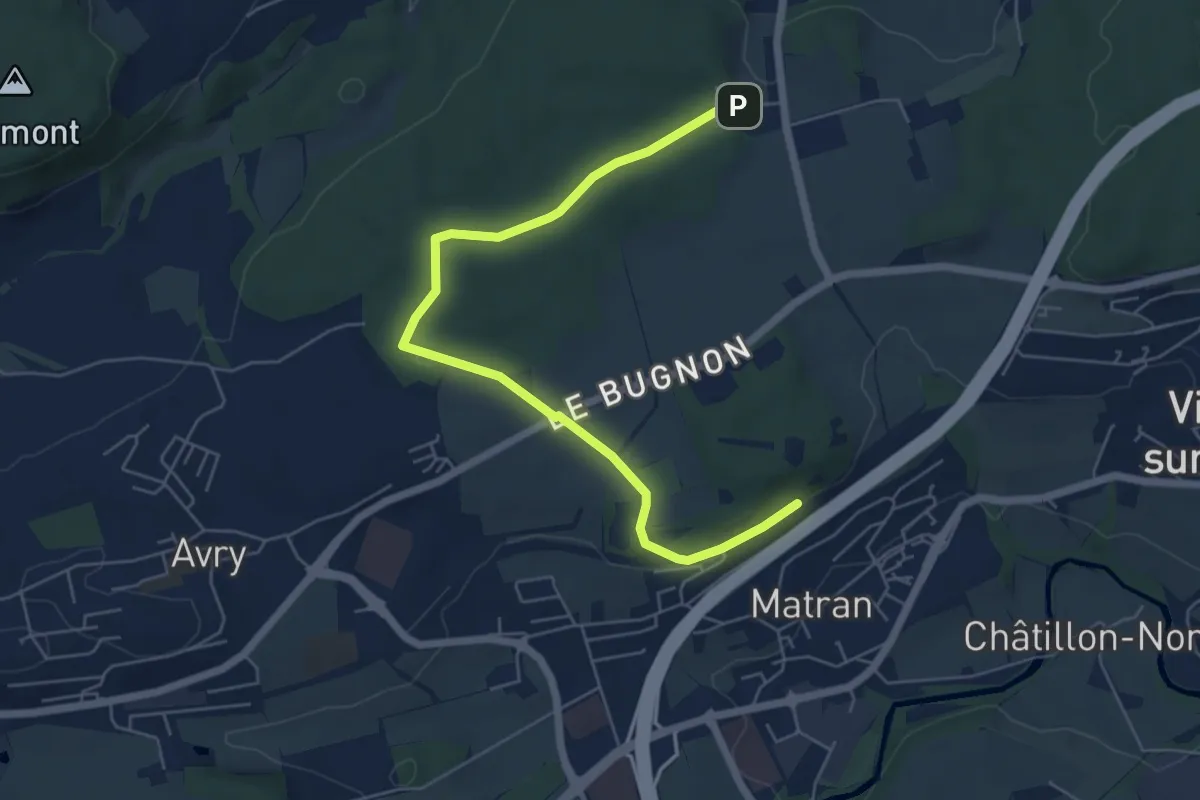
Villarepos - La Porte de l'Est
3.1 km · ↑ 54 m · 51 min · 12 km away
Easy · Trail
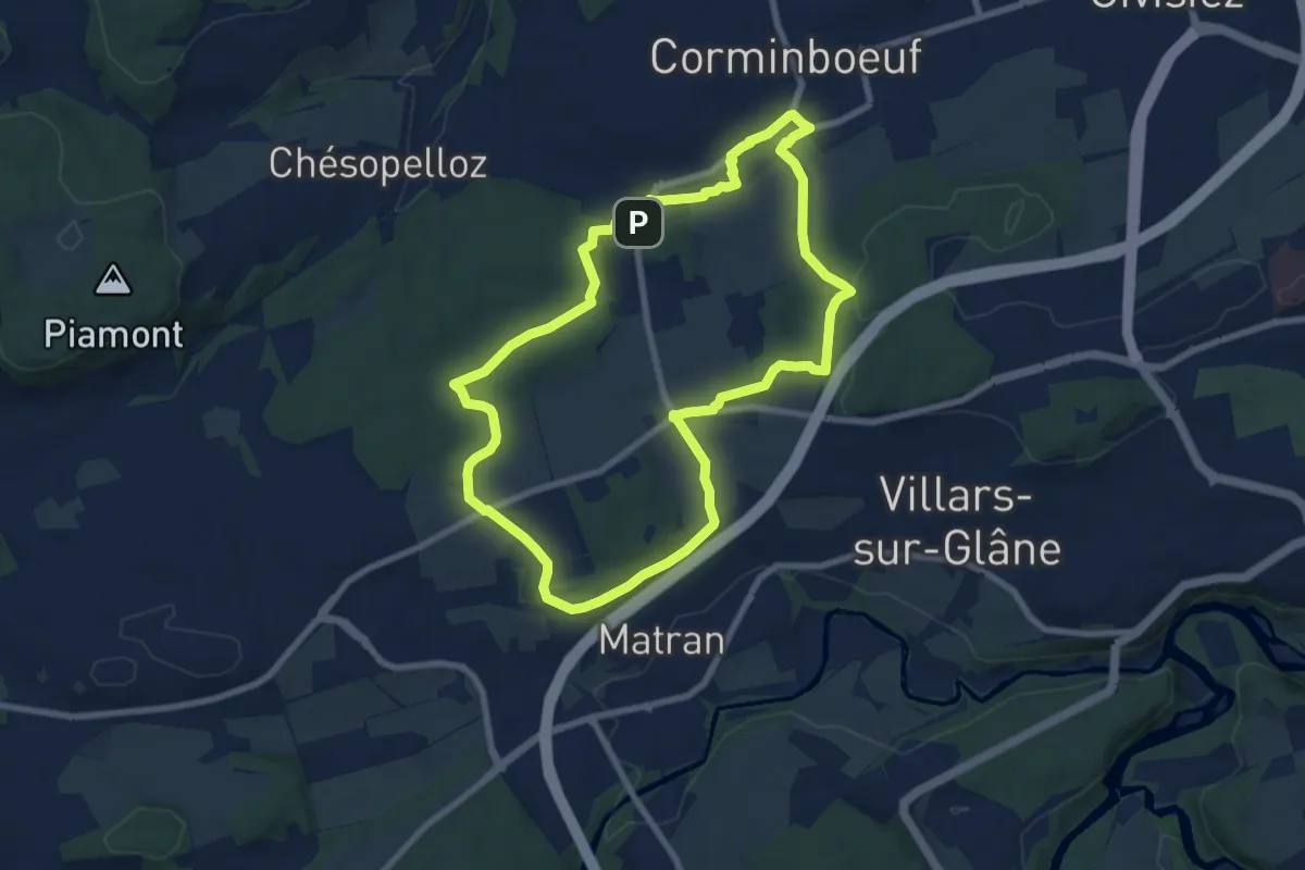
Village suisse - Matran
6.5 km · ↑ 79 m · 1 h 42 min · 12 km away
Easy · Trail
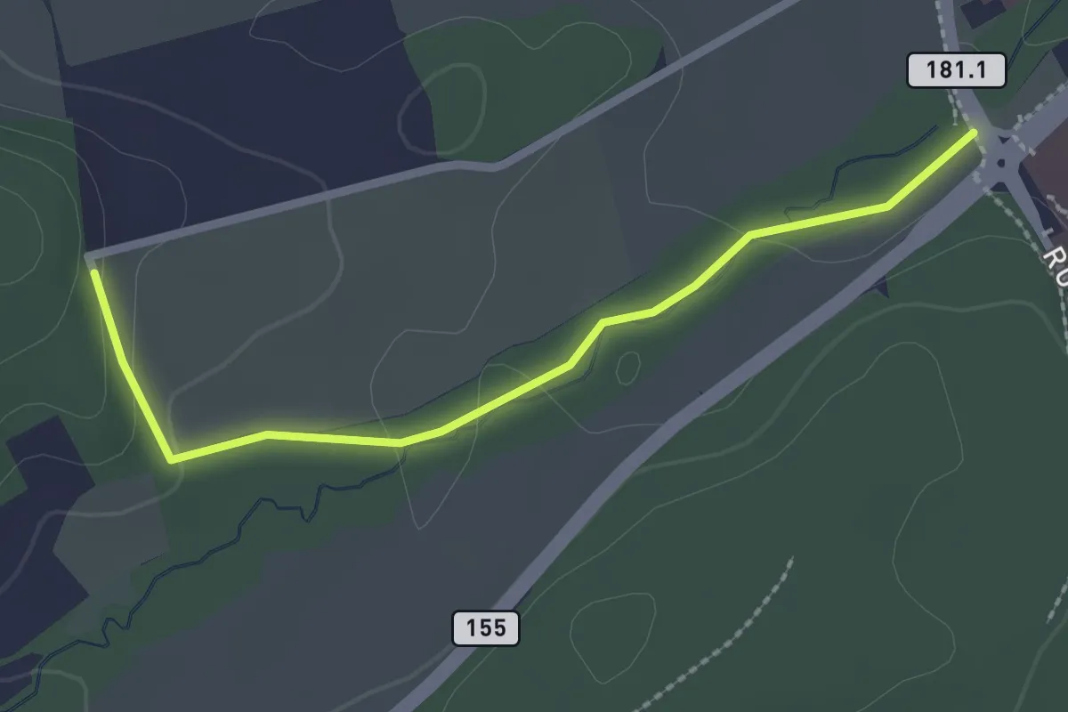
Dragon gris 🐉 - Histoire et de patrimoine (1h40m) - Corminboeuf
7.9 km · ↑ 131 m · 2 h 16 min · 12 km away
Easy · Trail
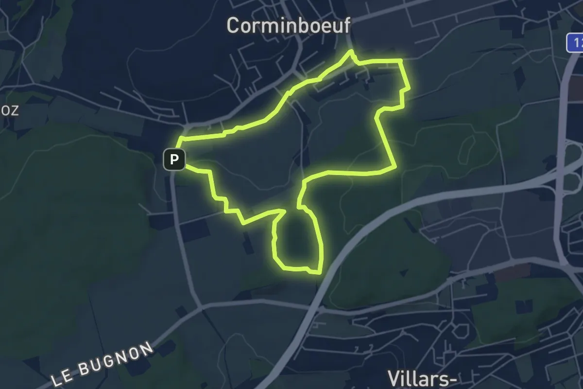
Sentier des Sculptures
2.3 km · ↑ 49 m · 39 min · 12 km away
Easy · Trail
Dragon rouge 🐉 - Faune et flore (1h10m) - Corminboeuf
5.4 km · ↑ 109 m · 1 h 35 min · 12 km away
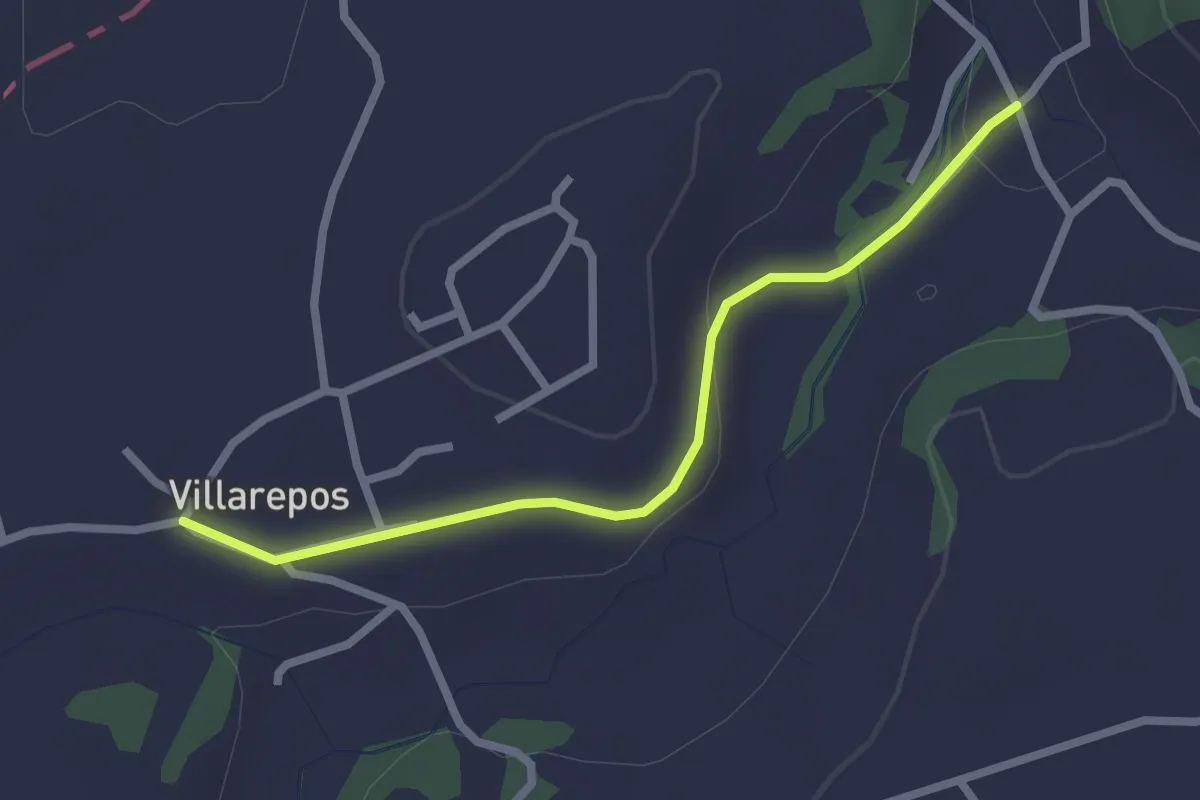
Easy · Trail
Villarepos - Chandossel
2.4 km · ↑ 29 m · 37 min · 12 km away
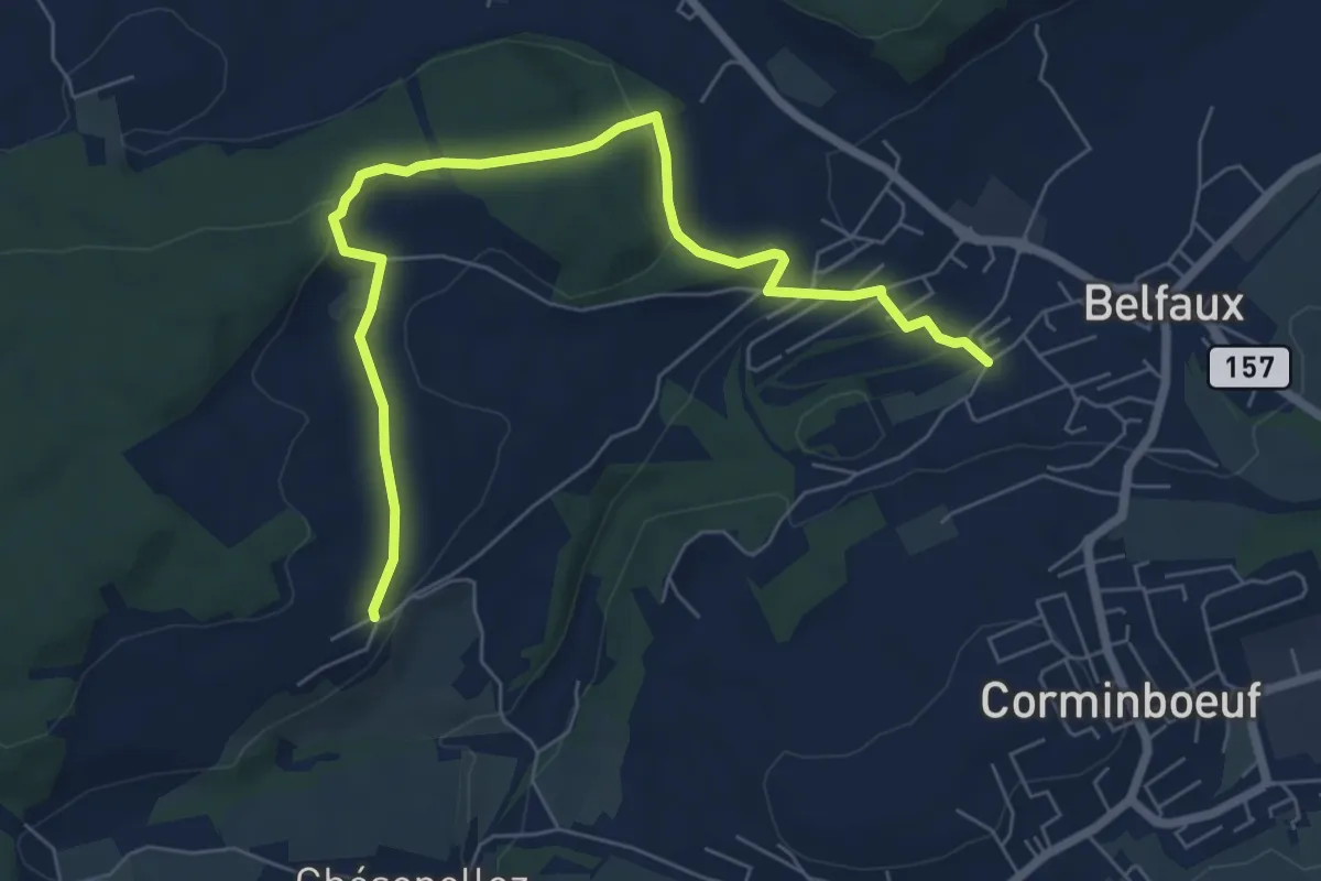
Easy · Trail
Belfaux rte de Chésopelloz - Autafond
7.5 km · ↑ 213 m · 2 h 14 min · 12 km away
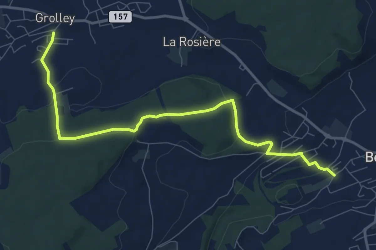
Medium · Trail
Grolley - Belfaux rte de Chésopelloz
8.4 km · ↑ 258 m · 2 h 33 min · 12 km away
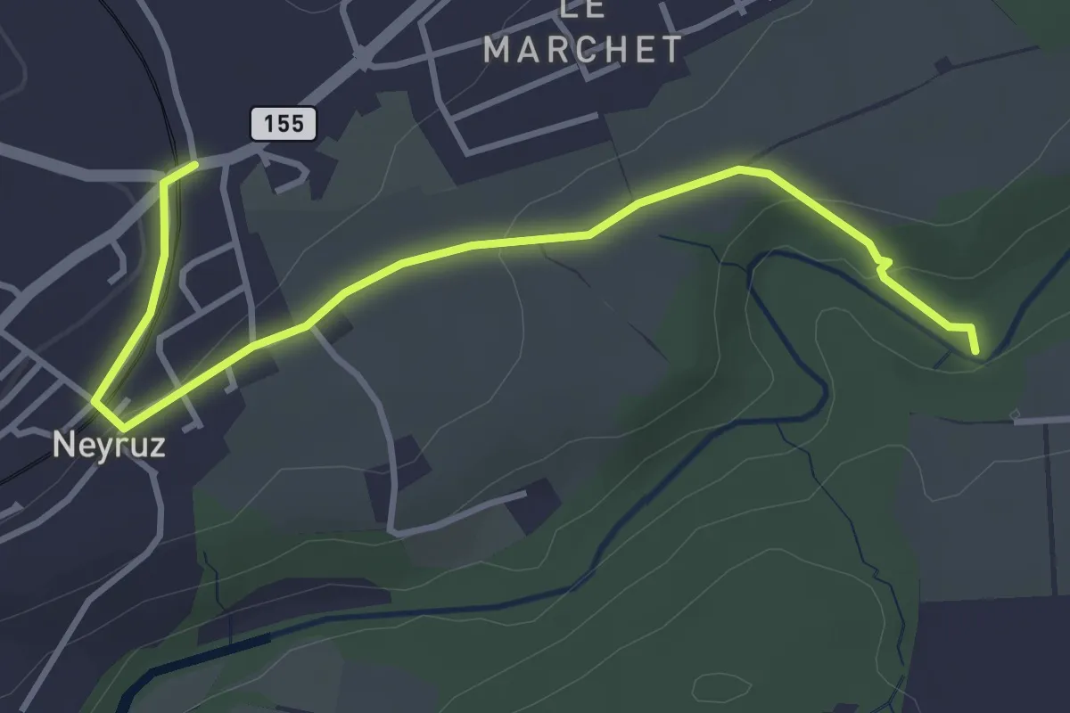
Easy · Trail
Neyruz - La Glâne
3.9 km · ↑ 79 m · 1 h 5 min · 12 km away
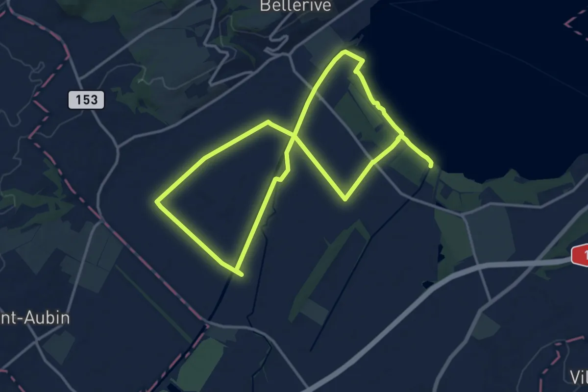
Demanding · Trail
Sentier Au fil de l'eau
20.8 km · ↑ 26 m · 4 h 58 min · 12 km away
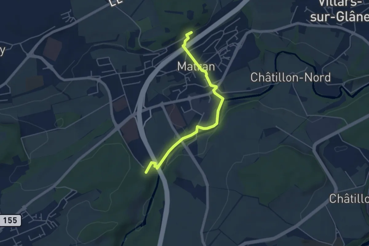
Easy · Trail
Matran Gare - Bois des Morts
4.4 km · ↑ 126 m · 1 h 19 min · 13 km away
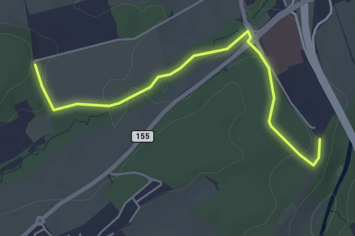
Easy · Trail
Matran Centre commercial - Matran Bois de Chavagny
4.0 km · ↑ 89 m · 1 h 8 min · 13 km away
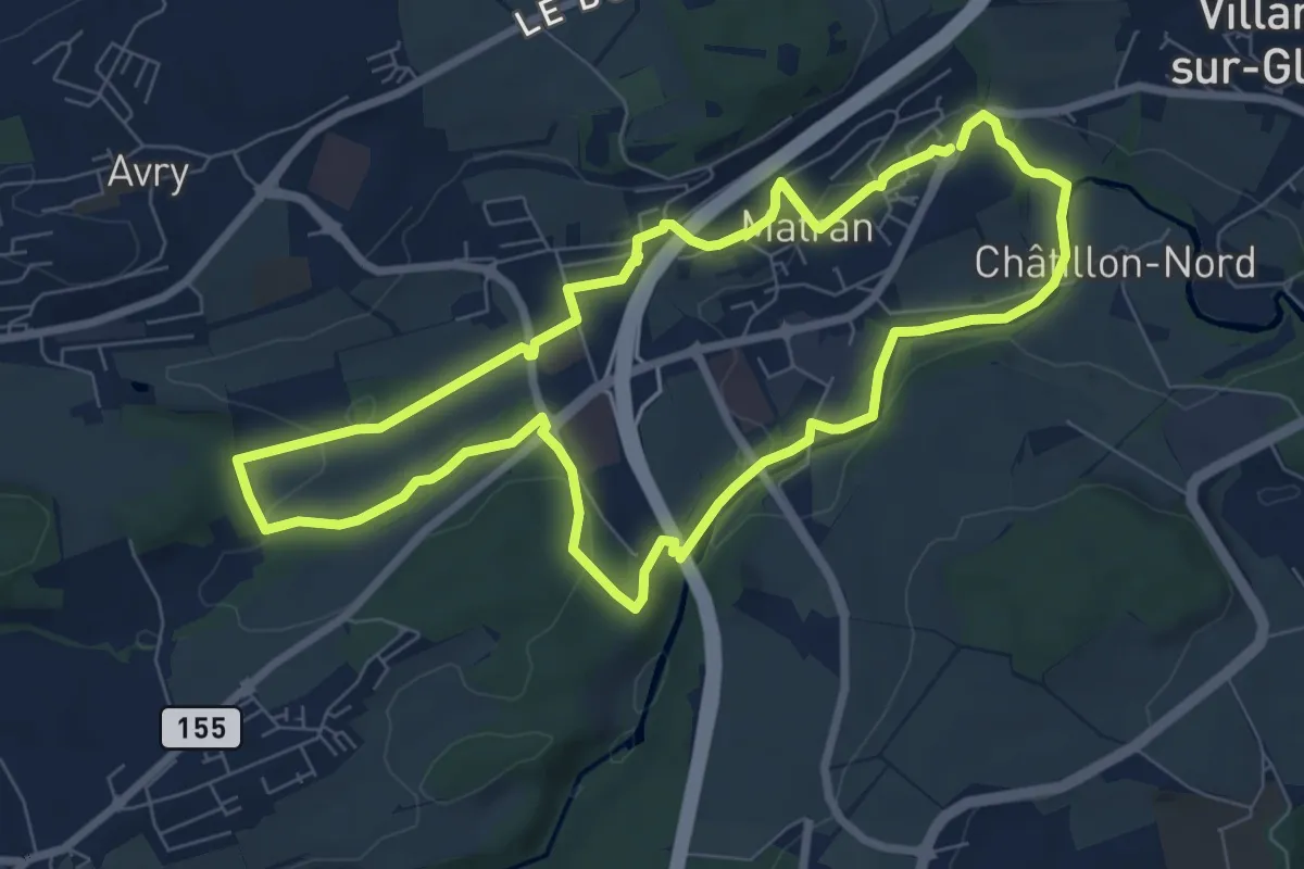
Easy · Trail
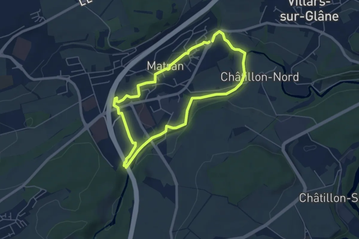
Matran - Sentier vert🟢
7.5 km · ↑ 161 m · 2 h 13 min · 13 km away
Easy · Trail
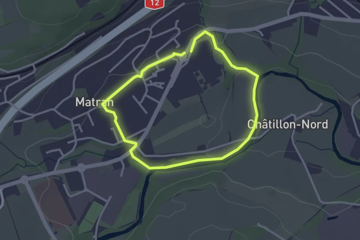
Matran - Sentier rouge🔴
4.6 km · ↑ 68 m · 1 h 17 min · 13 km away
Easy · Trail
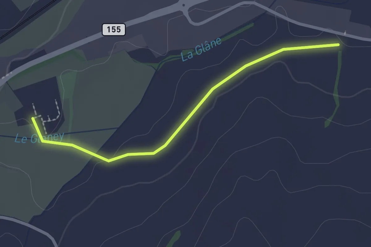
Matran - Sentier bleu🔵
2.3 km · ↑ 27 m · 38 min · 13 km away
Easy · Trail
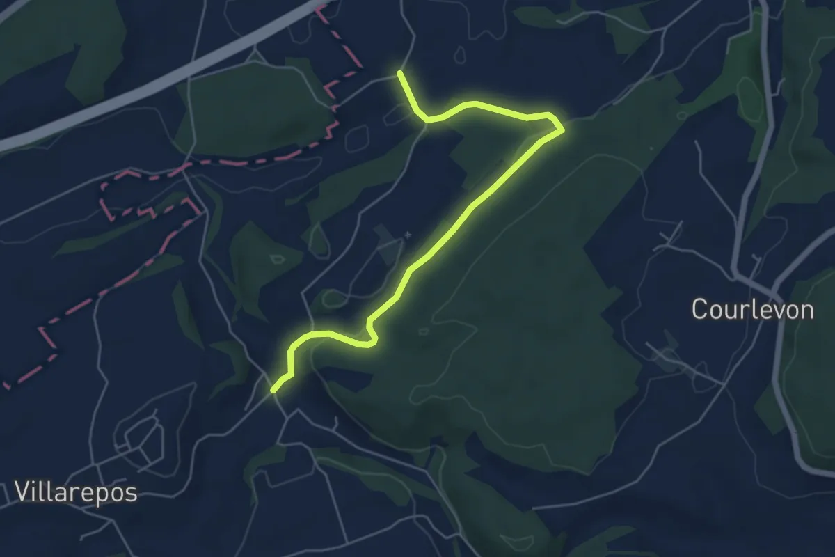
La Fille-Dieu – Chavannes-sous-Orsonnens
2.3 km · ↑ 9 m · 33 min · 13 km away
Easy · Trail
Chandossel - Clavaleyer
5.4 km · ↑ 180 m · 1 h 40 min · 13 km away