Trails near Payerne
75 hikes starting within 15 km, nearest first.
Nearest first, page 2 of 2
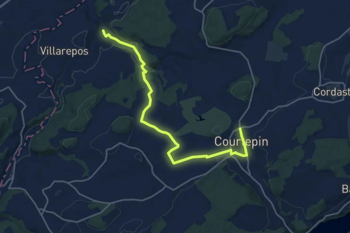
Medium · Trail
Chandossel - Courtepin Nord
13.2 km · ↑ 195 m · 3 h 32 min · 13 km away
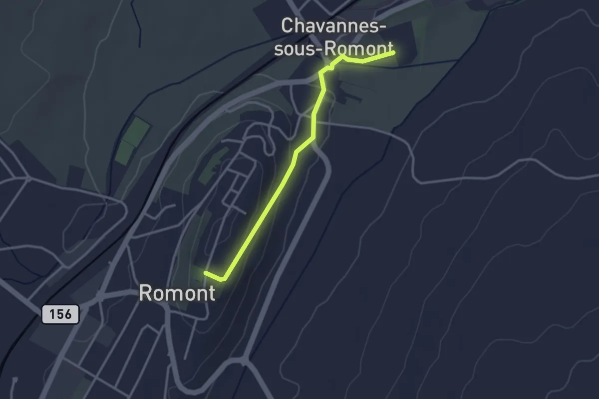
Easy · Trail
Romont – La Fille-Dieu
2.7 km · ↑ 82 m · 50 min · 13 km away
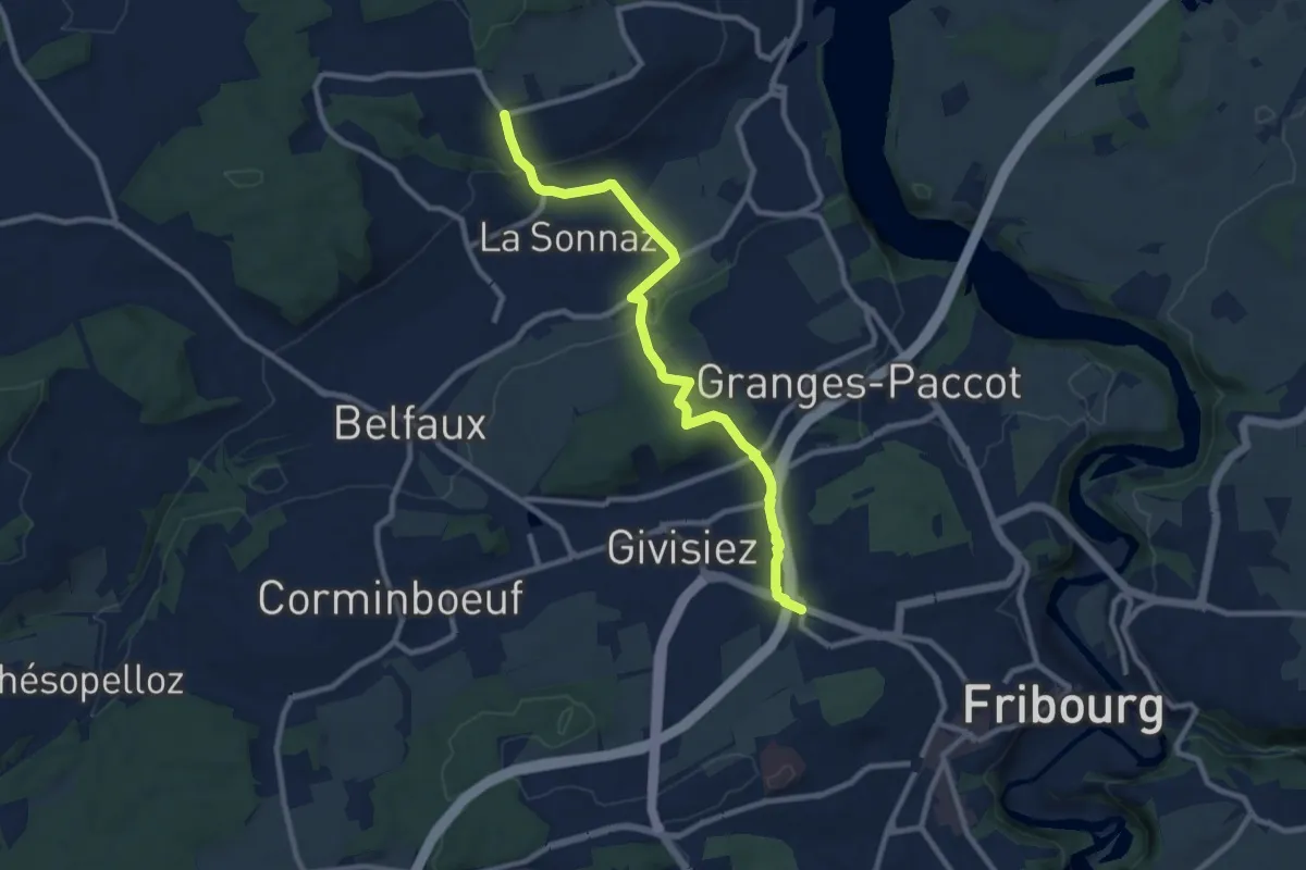
Medium · Trail
Fribourg (Jura) - La Corbaz
9.7 km · ↑ 324 m · 3 h · 14 km away
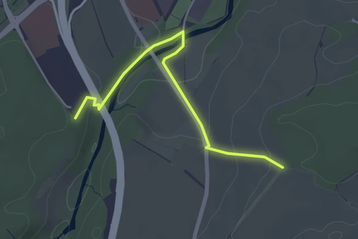
Easy · Trail
Matran Centre commercial - Monterban
3.6 km · ↑ 118 m · 1 h 6 min · 14 km away
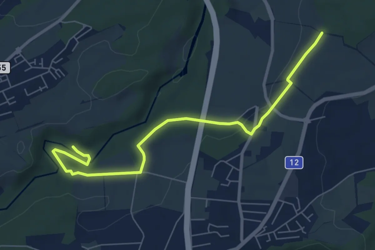
Easy · Trail
Monterban - La Glâne
6.5 km · ↑ 96 m · 1 h 45 min · 14 km away
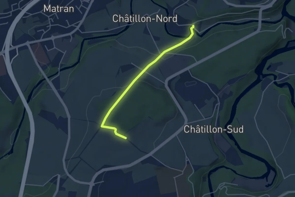
Easy · Trail
Villars-sur-Glâne Ste. Appoline - Monterban
3.7 km · ↑ 134 m · 1 h 10 min · 14 km away
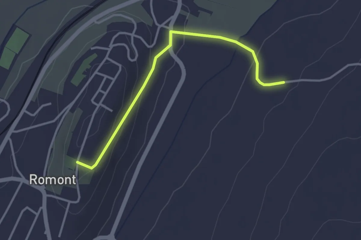
Easy · Trail
Romont – La Neirigue
3.0 km · ↑ 106 m · 56 min · 14 km away
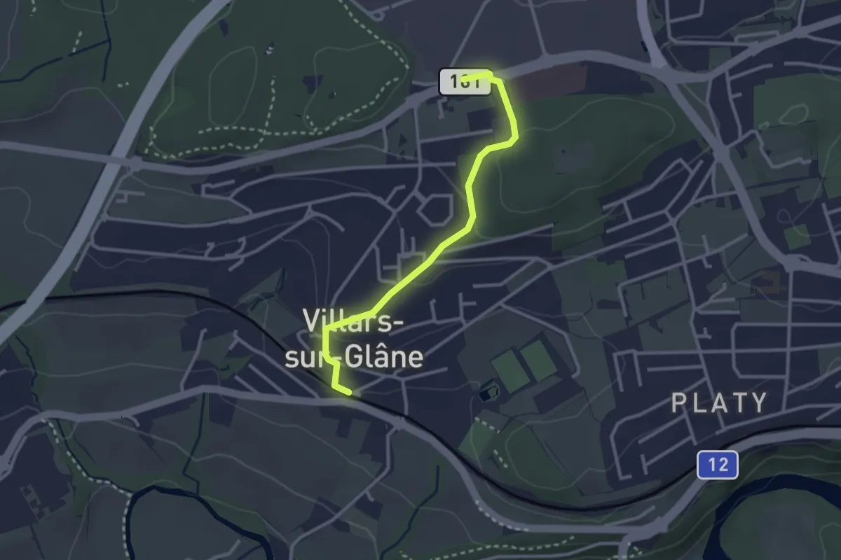
Easy · Trail
Villars-sur-Glâne - Villars-sur-Glâne Moncor
2.7 km · ↑ 76 m · 48 min · 14 km away
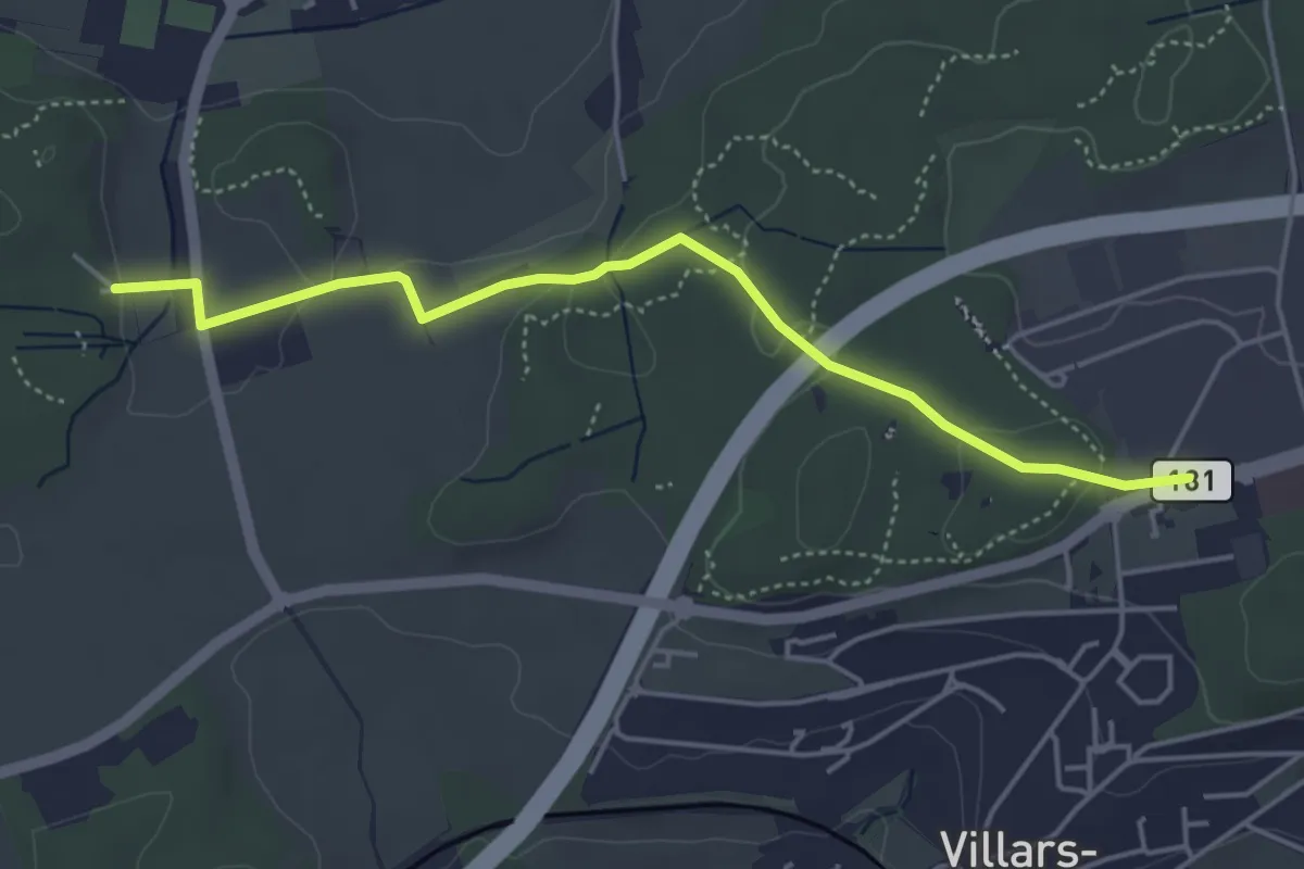
Easy · Trail
Villars-sur-Glâne Moncor - Corminboeuf Village Suisse
4.6 km · ↑ 101 m · 1 h 18 min · 14 km away
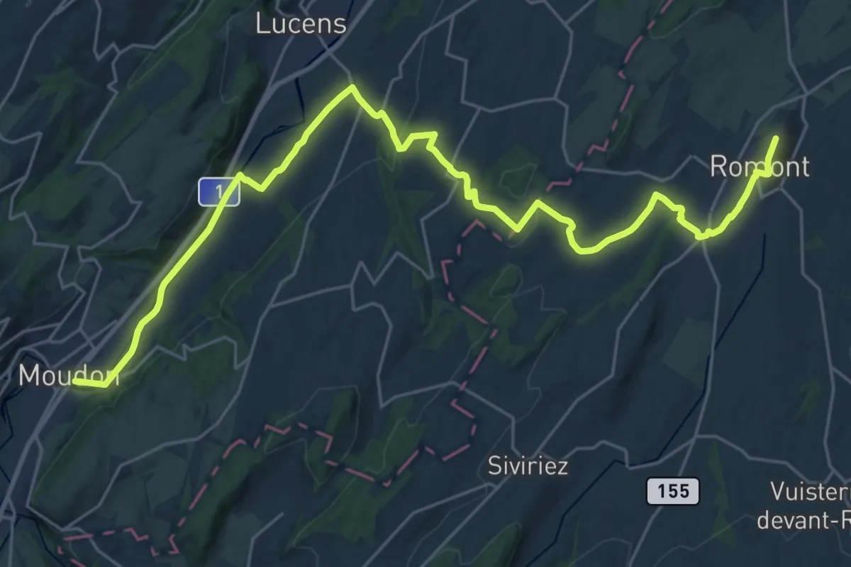
Medium · Trail
ViaJacobi
14.7 km · ↑ 131 m · 4 h 5 min · 14 km away
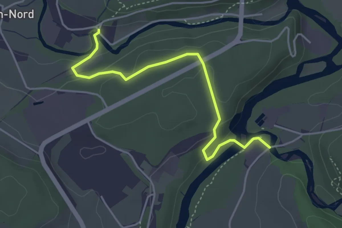
Easy · Trail
Marly Au Port - Villars-sur-Glâne Ste. Appoline
4.0 km · ↑ 121 m · 1 h 12 min · 14 km away
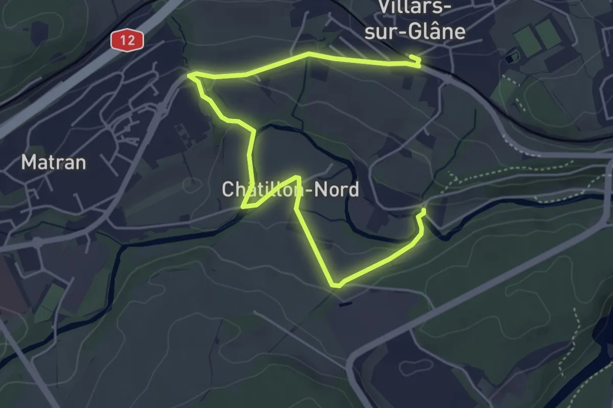
Easy · Trail
Villars-sur-Glâne Ste. Appoline - Villars-sur-Glâne
5.8 km · ↑ 115 m · 1 h 37 min · 14 km away
Easy · Trail
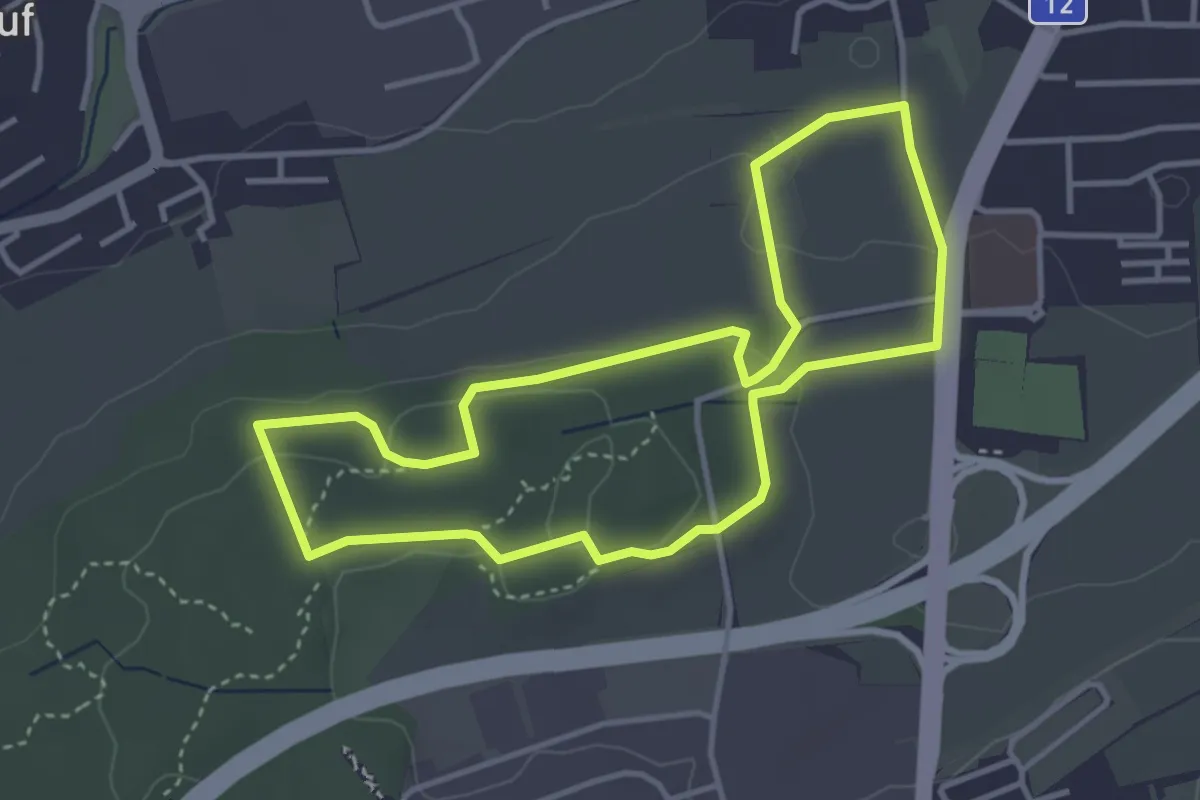
Sentier - découverte Givisiez (à pied)
3.6 km · ↑ 83 m · 1 h 5 min · 14 km away
Easy · Trail
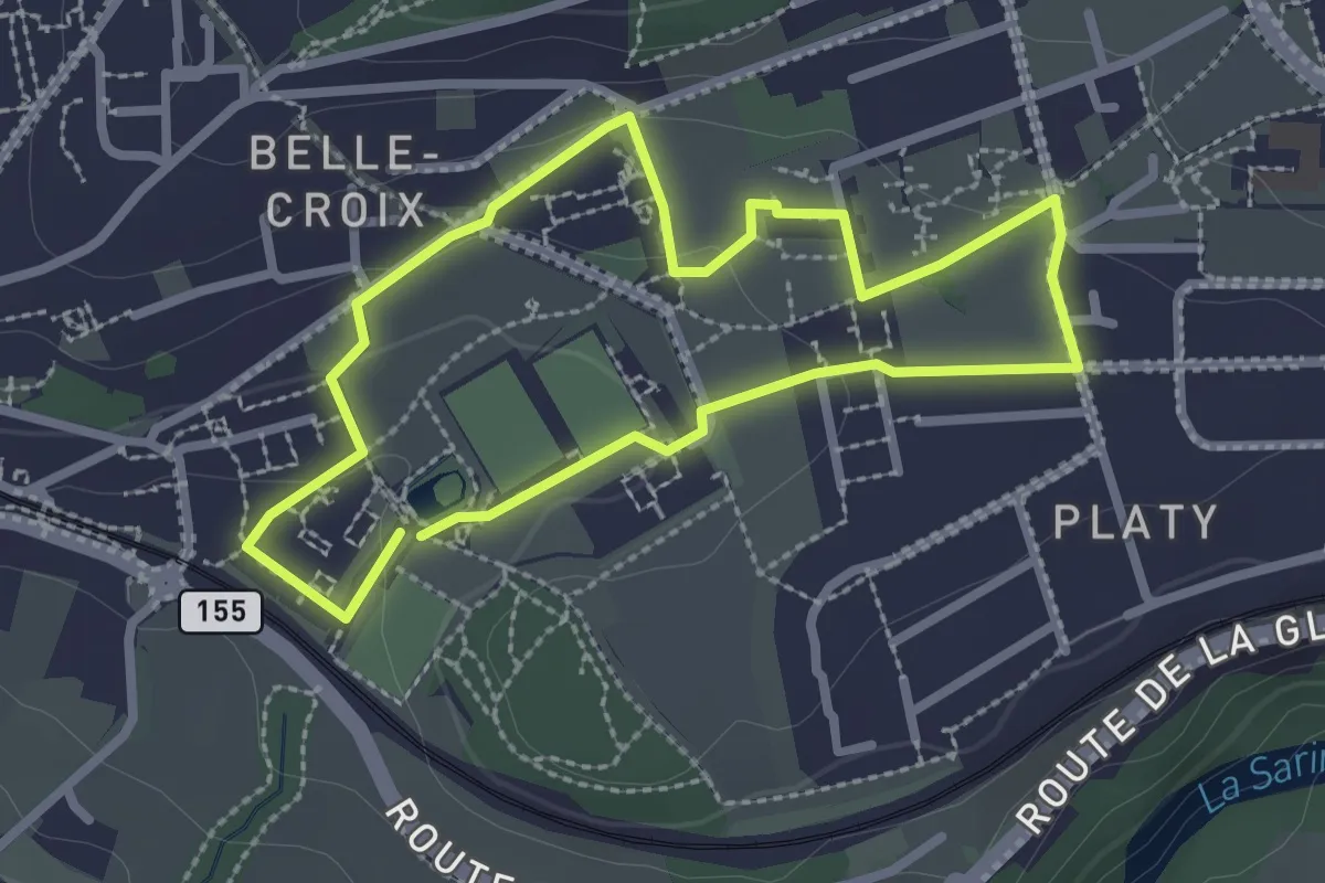
Sentier de la biodiversité - Faune & flore
2.3 km · ↑ 46 m · 41 min · 14 km away
Easy · Trail
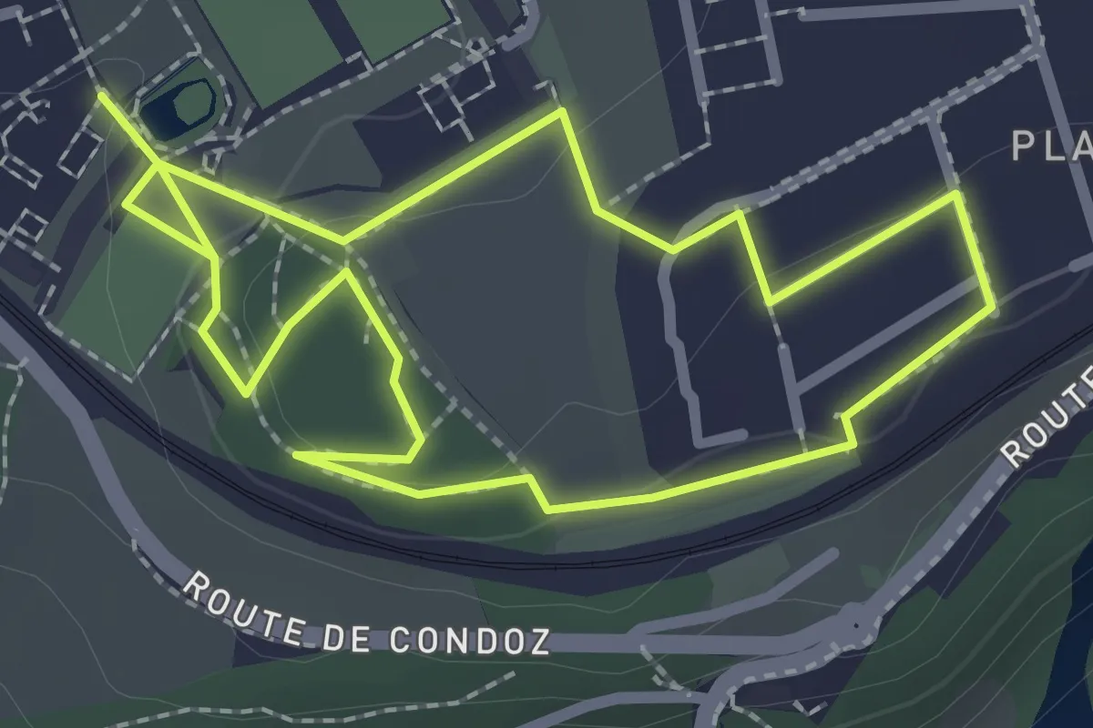
Sentier de la biodiversité - Nasti & Yuki
2.1 km · ↑ 34 m · 37 min · 14 km away
Easy · Trail
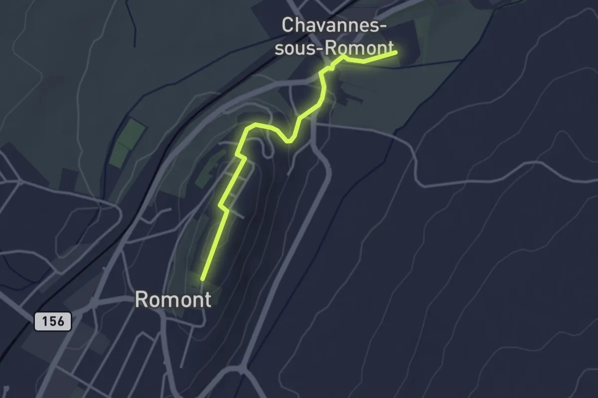
Romont – La Fille-Dieu
3.1 km · ↑ 77 m · 53 min · 14 km away
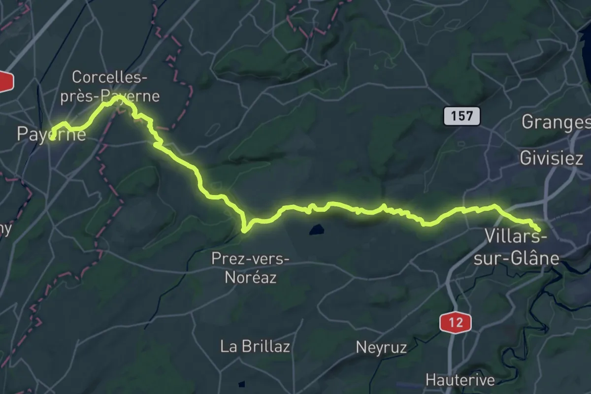
Demanding · Trail
ViaJacobi - Fribourg (Villars-sur-Glâne)–Payerne
19.8 km · ↑ 246 m · 5 h 37 min · 14 km away
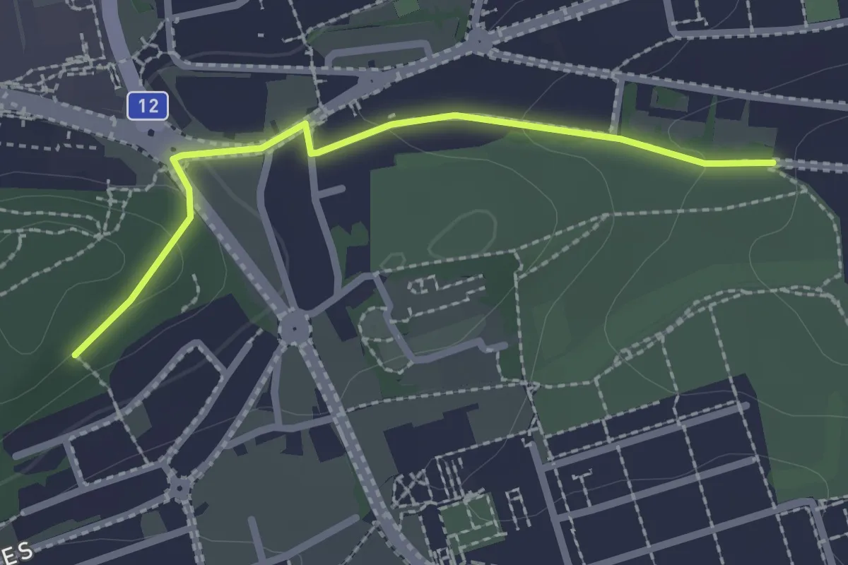
Easy · Trail
Villars-sur-Glâne Grand-Pré - Villars-sur-Glâne Bois de Belle-Croix
2.2 km · ↑ 57 m · 38 min · 15 km away
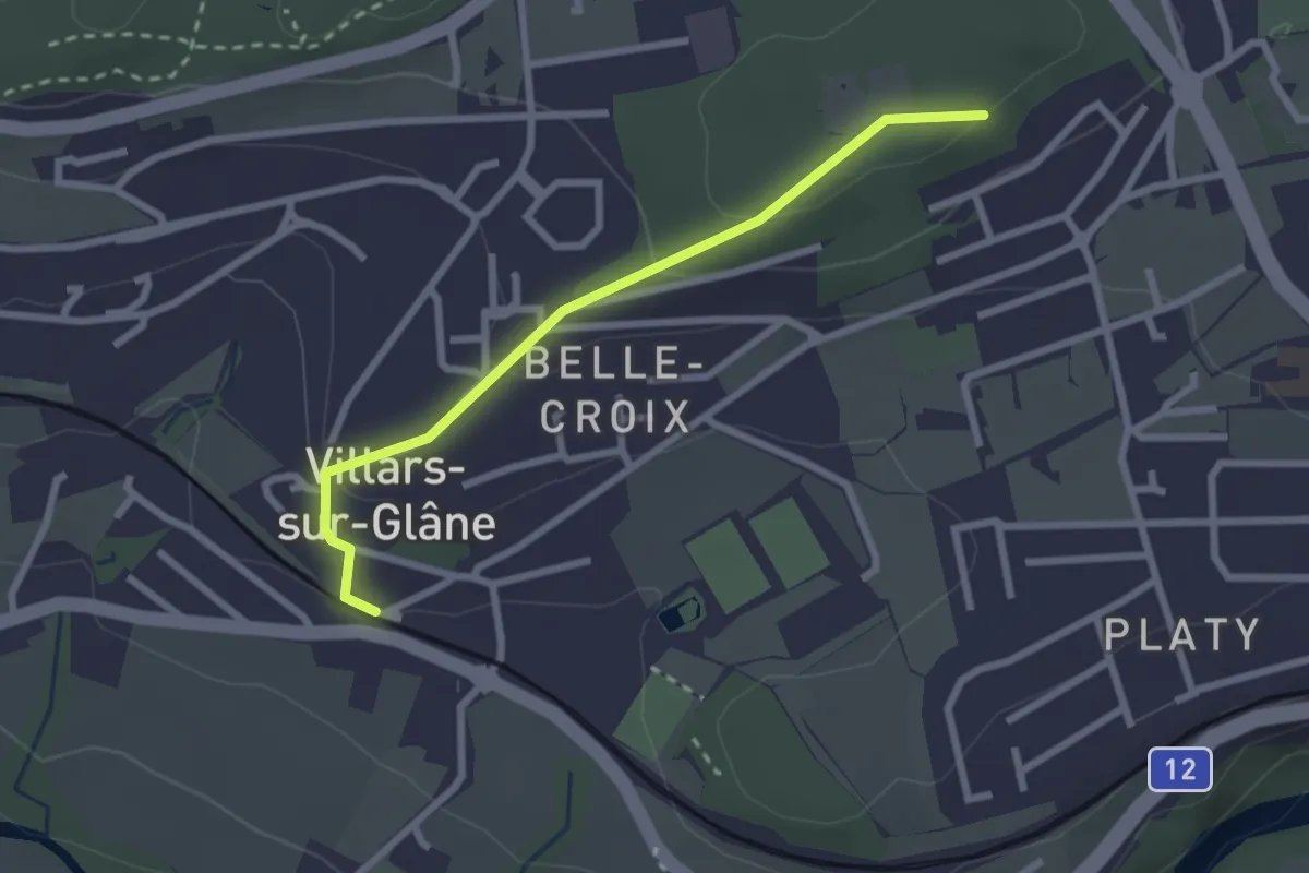
Easy · Trail
Villars-sur-Glâne Bois de Belle-Croix - Villars-sur-Glâne
2.5 km · ↑ 89 m · 47 min · 15 km away
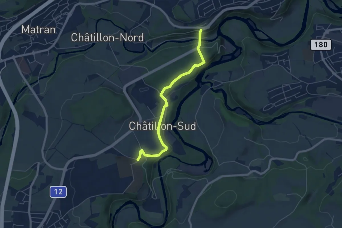
Easy · Trail
Grangeneuve - Villars-sur-Glâne Pont de la Glâne
5.3 km · ↑ 145 m · 1 h 34 min · 15 km away
Medium · Trail
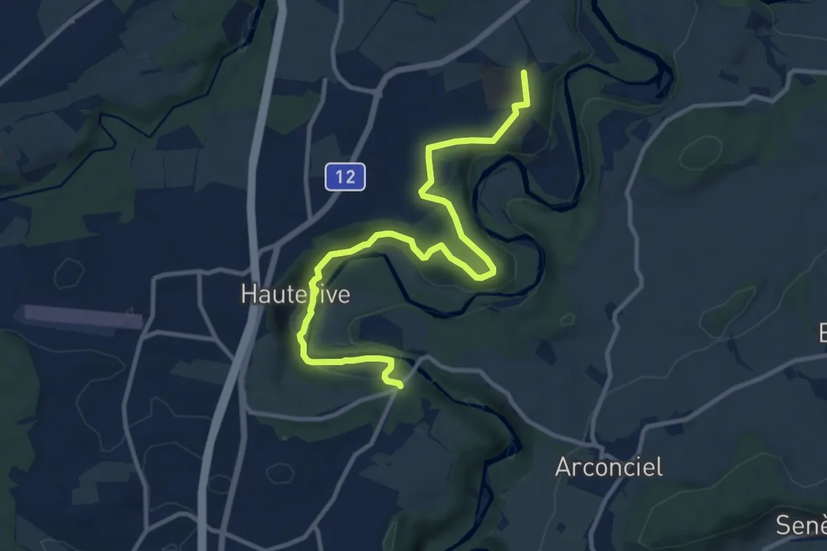
Grangeneuve - La Tuffière
10.4 km · ↑ 233 m · 2 h 57 min · 15 km away
Easy · Trail
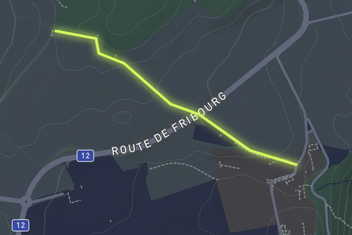
Monterban - Grangeneuve
2.1 km · ↑ 46 m · 36 min · 15 km away
Easy · Trail
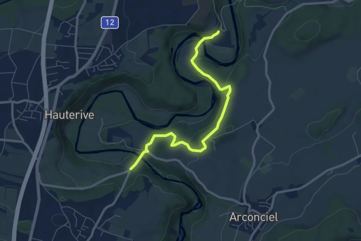
La Tuffière - Hauterive
6.5 km · ↑ 232 m · 2 h 2 min · 15 km away
Medium · Trail
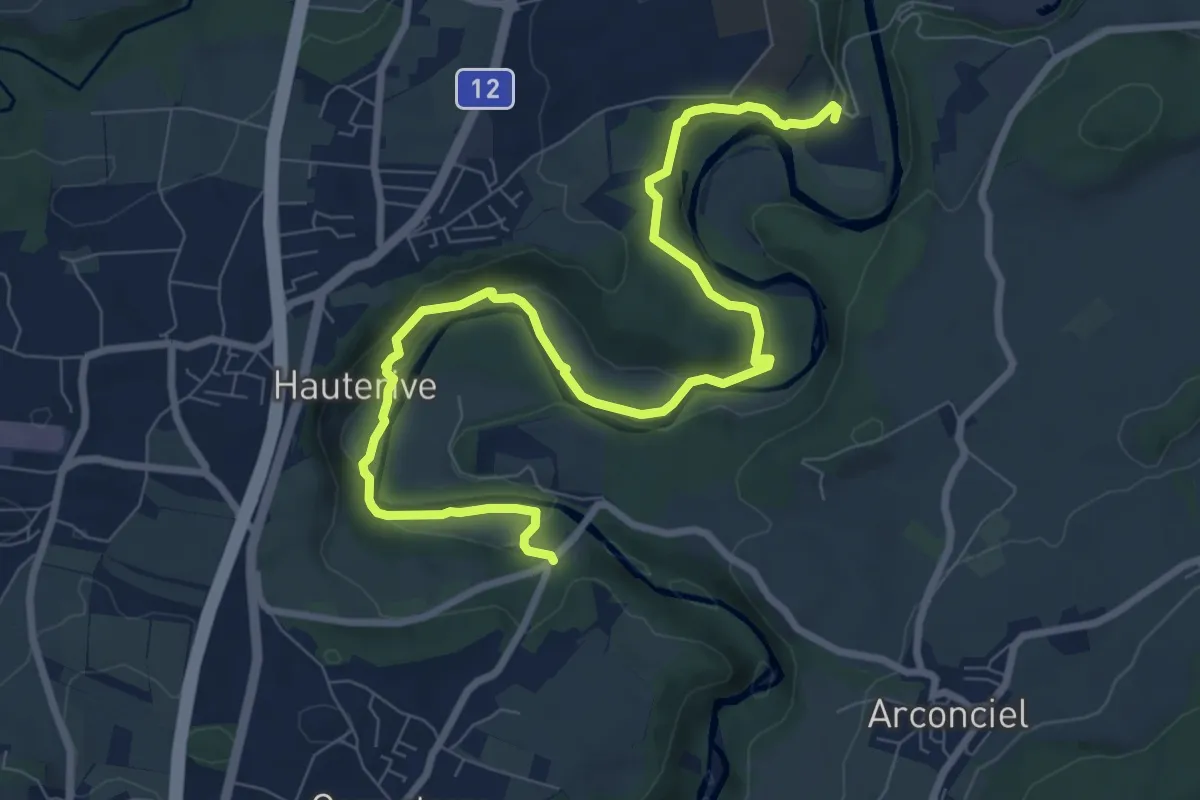
Hauterive - La Tuffière
10.3 km · ↑ 261 m · 3 h · 15 km away
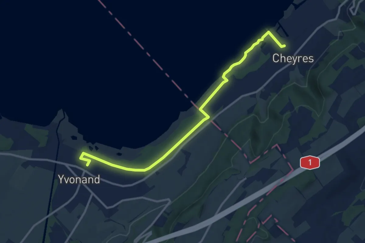
Medium · Trail
Yvonand Gare - Cheyres
9.5 km · ↑ 18 m · 2 h 18 min · 15 km away
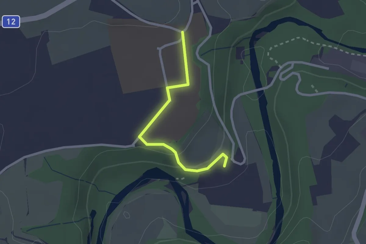
Easy · Trail
Hauterive - Grangeneuve
2.1 km · ↑ 44 m · 35 min · 15 km away
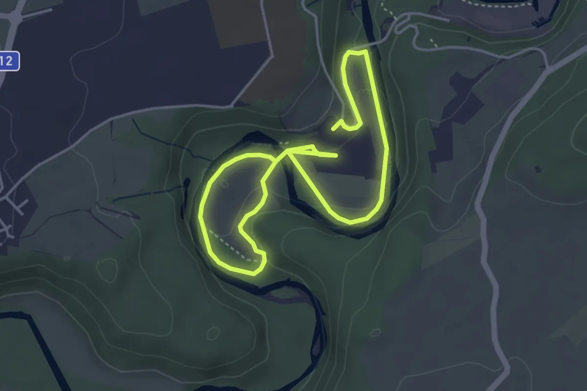
Easy · Trail
Boucle Hauterive-La Souche / Les découvertes de Saribelle
3.2 km · ↑ 59 m · 57 min · 15 km away