Trails near Rheinfelden (Baden)
357 hikes starting within 15 km, nearest first.
Nearest first, page 5 of 8
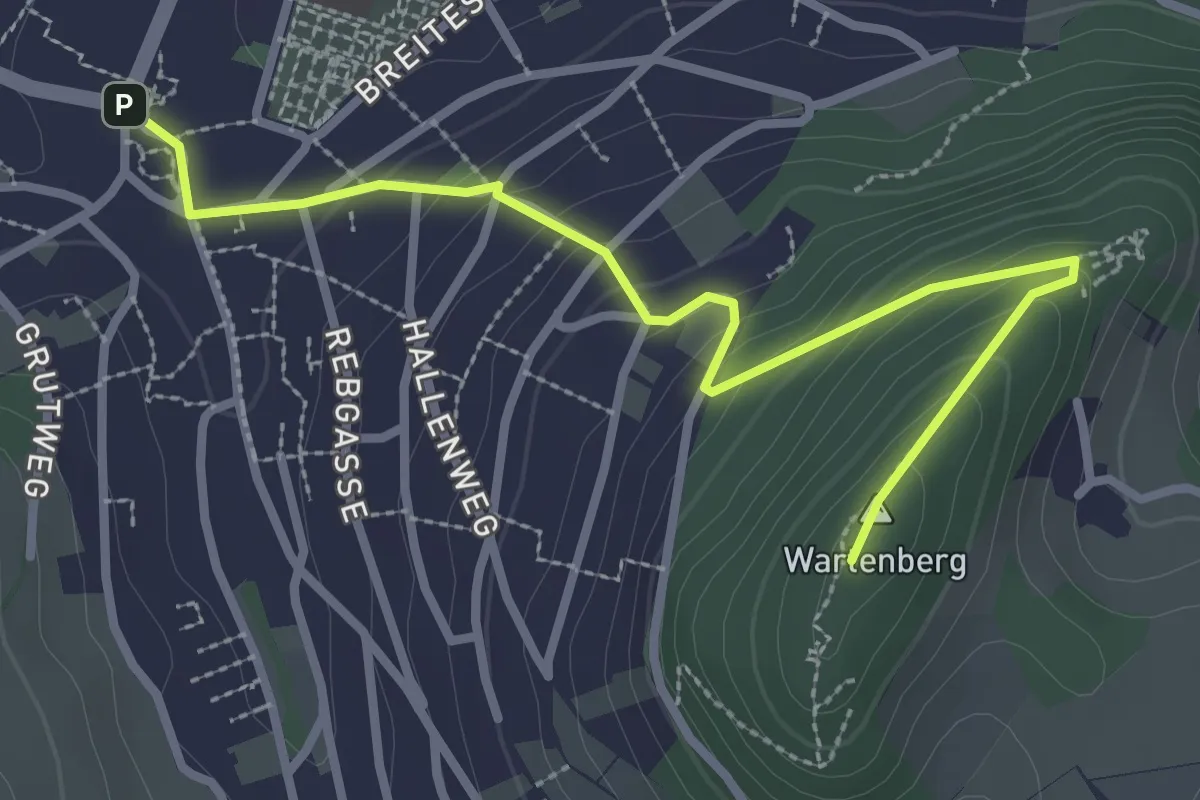
Medium · Summit
Ruine Wartenberg - Mittenza
3.2 km · ↑ 171 m · 1 h 8 min · 11 km away
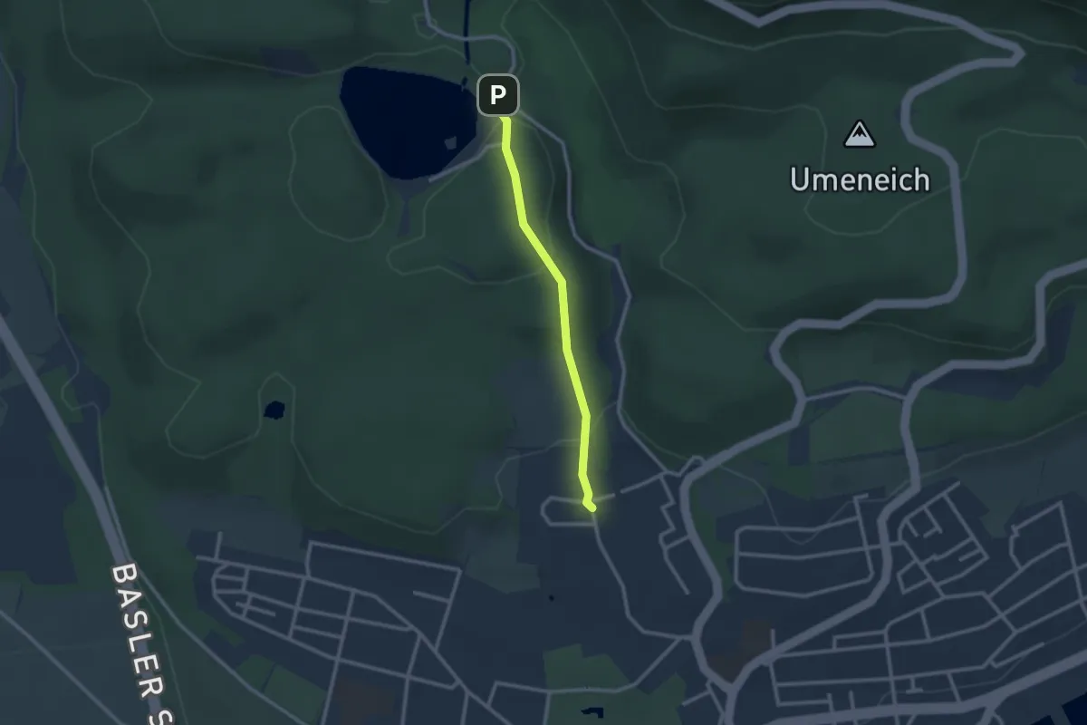
Easy · Trail
Bad Säckingen Kurzentrum – Bergseekurve
2.1 km · ↑ 78 m · 41 min · 11 km away
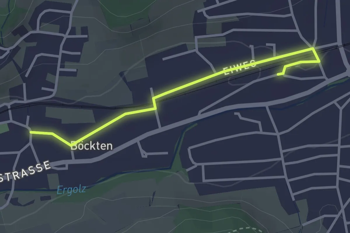
Easy · Trail
Böckten – Gelterkinden
2.8 km · ↑ 8 m · 41 min · 11 km away
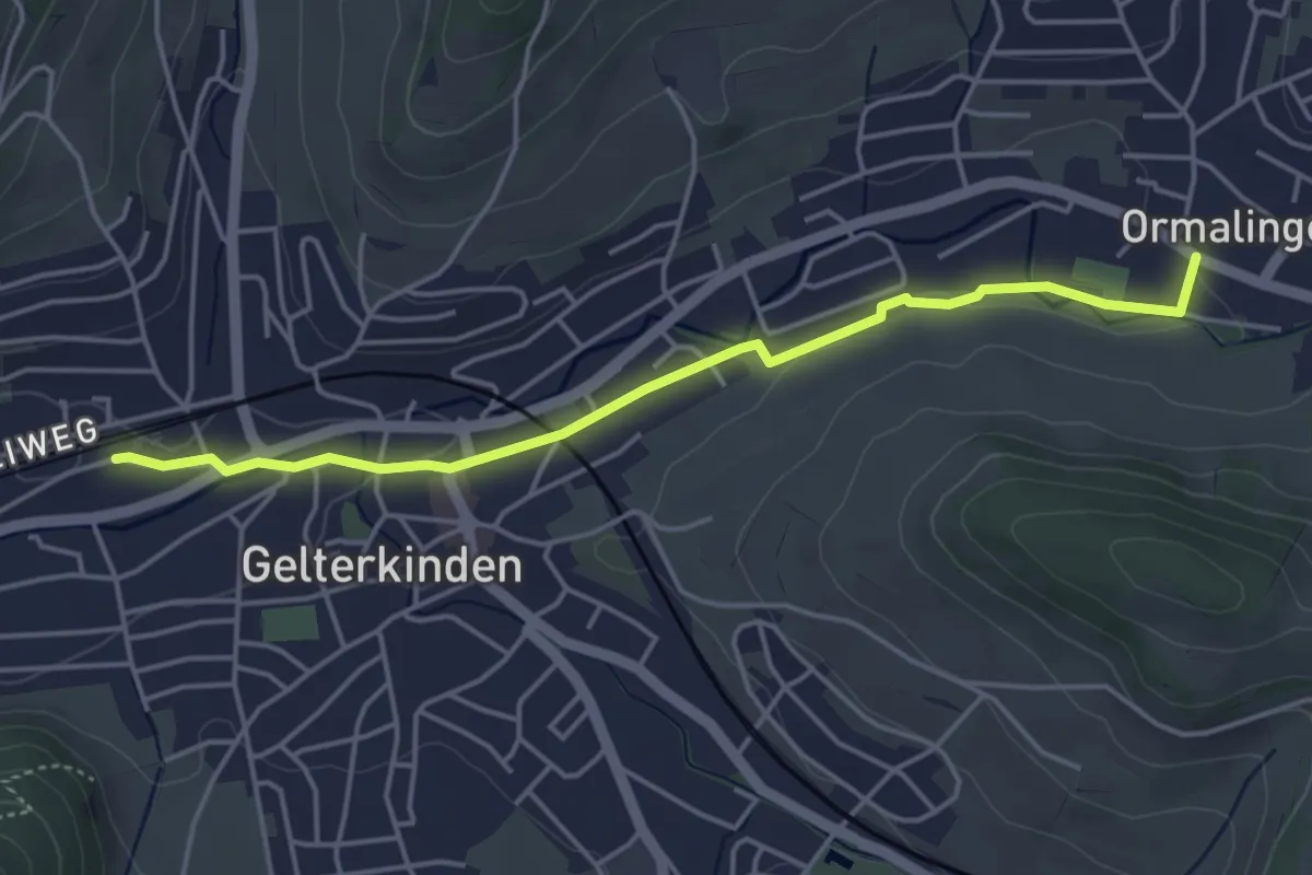
Easy · Trail
Gelterkinden – Ormalingen
4.4 km · ↑ 31 m · 1 h 7 min · 11 km away
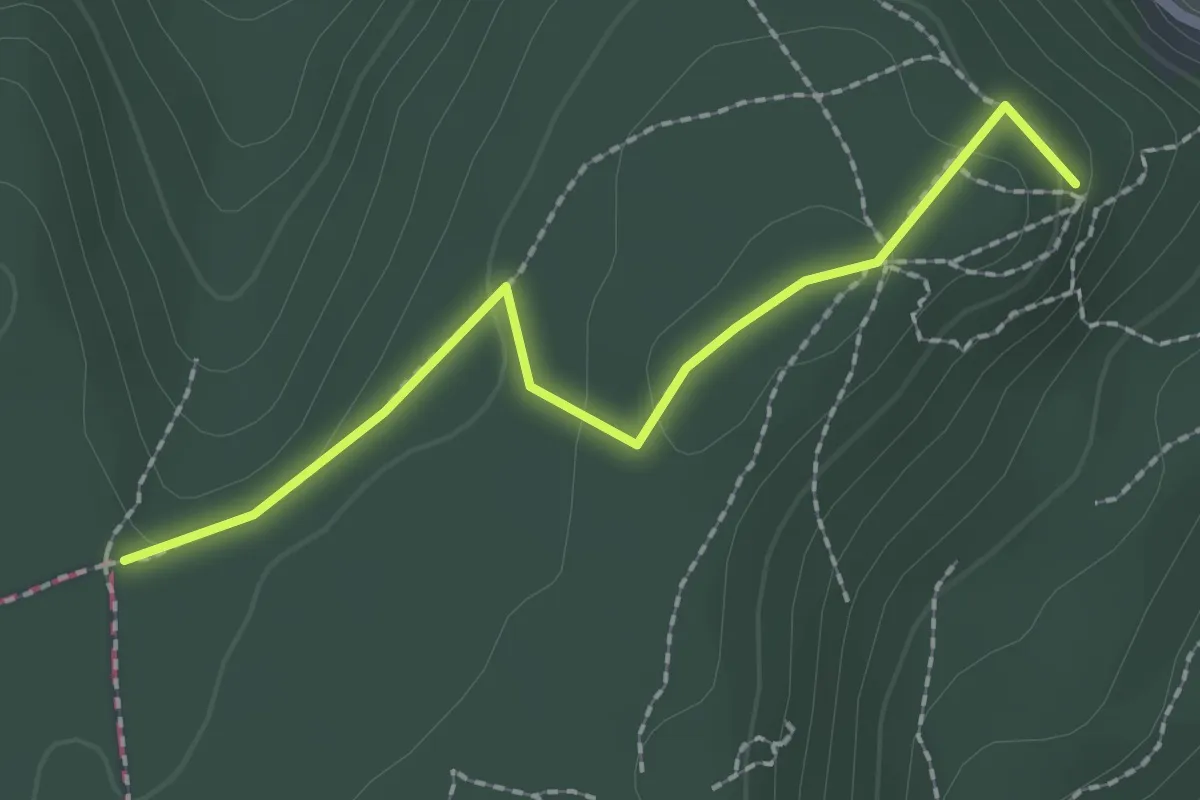
Easy · Summit
Hoher Bannstein – Schauenberg
2.1 km · ↑ 73 m · 39 min · 11 km away
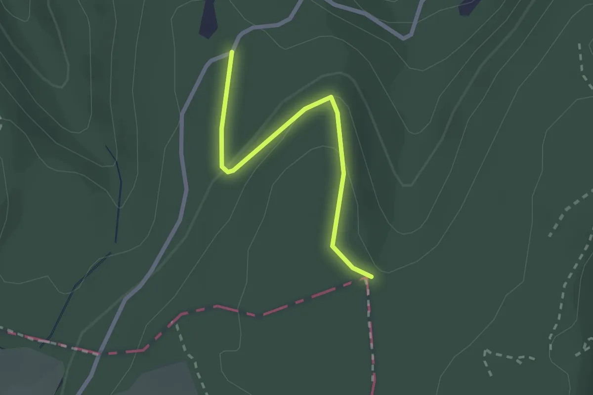
Easy · Trail
Hoher Bannstein – Sulzchopf
2.0 km · ↑ 55 m · 36 min · 11 km away
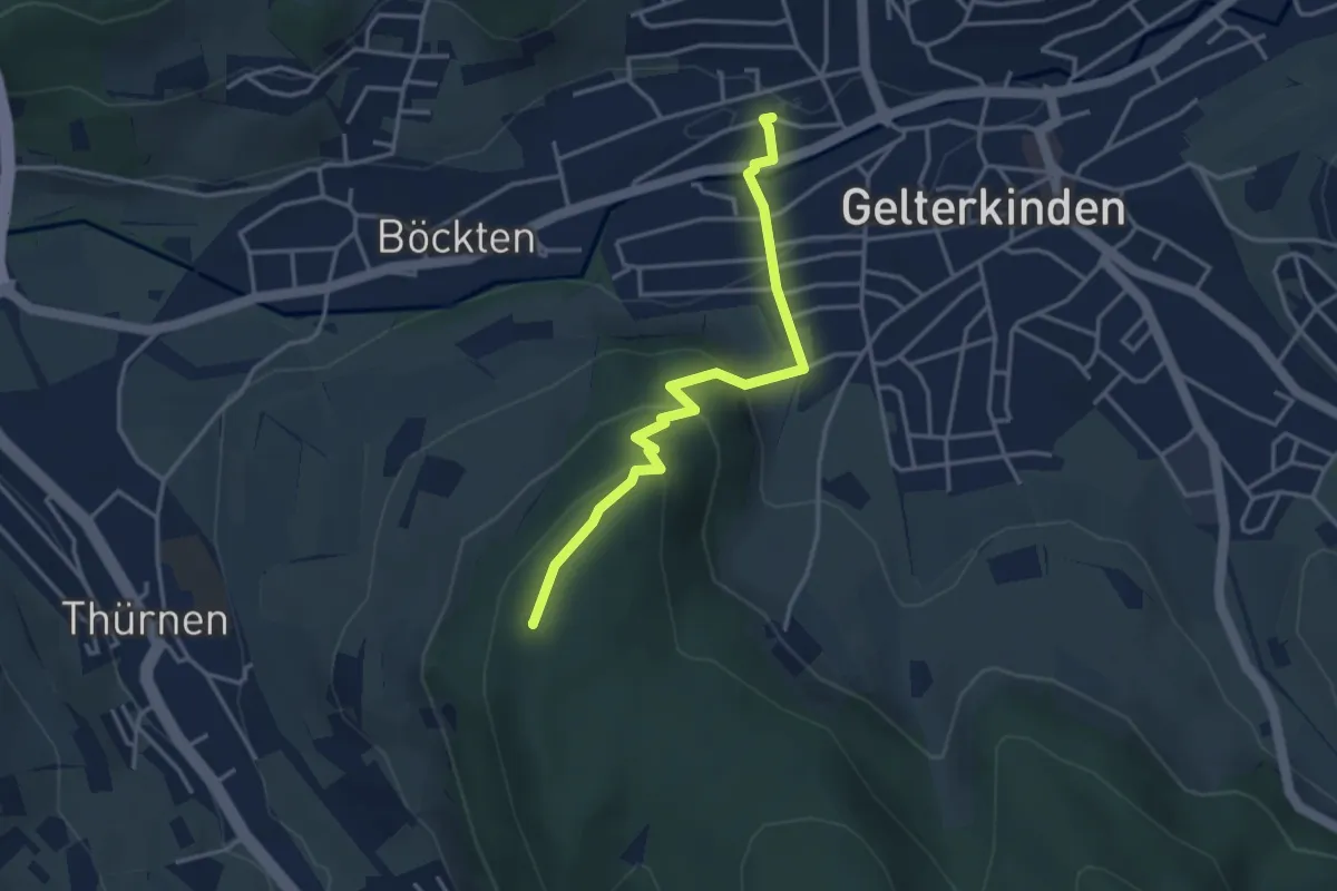
Easy · Summit
Gelterkinden – Thürner Flue
3.6 km · ↑ 187 m · 1 h 15 min · 11 km away
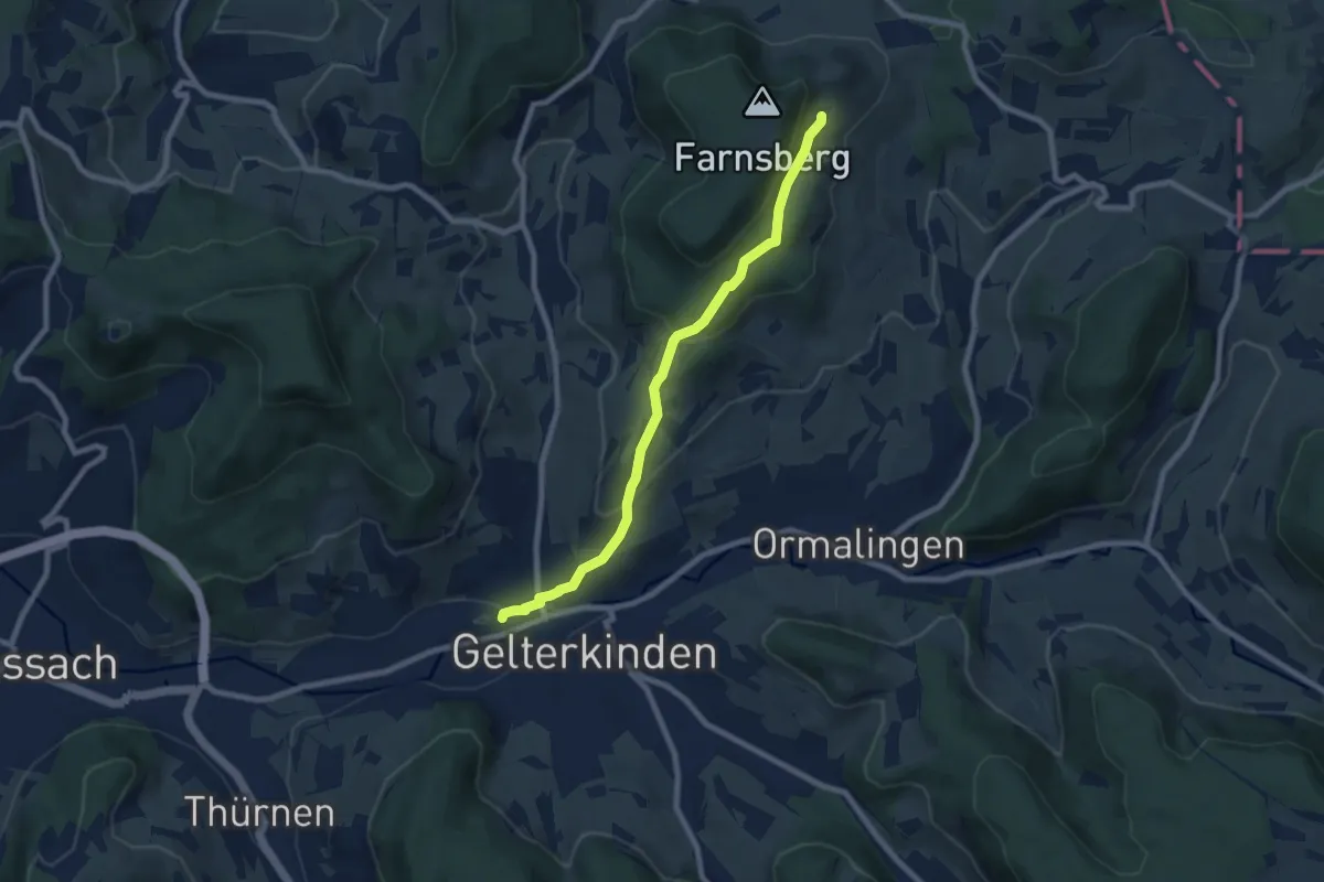
Easy · Trail
Gelterkinden – Farnsburg
7.5 km · ↑ 317 m · 2 h 28 min · 11 km away
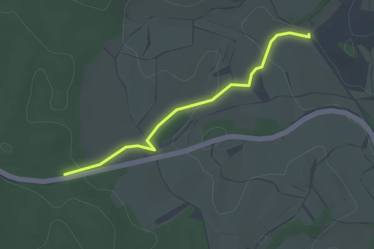
Easy · Trail
Zay - Am Hasler Weg
2.8 km · ↑ 54 m · 46 min · 11 km away
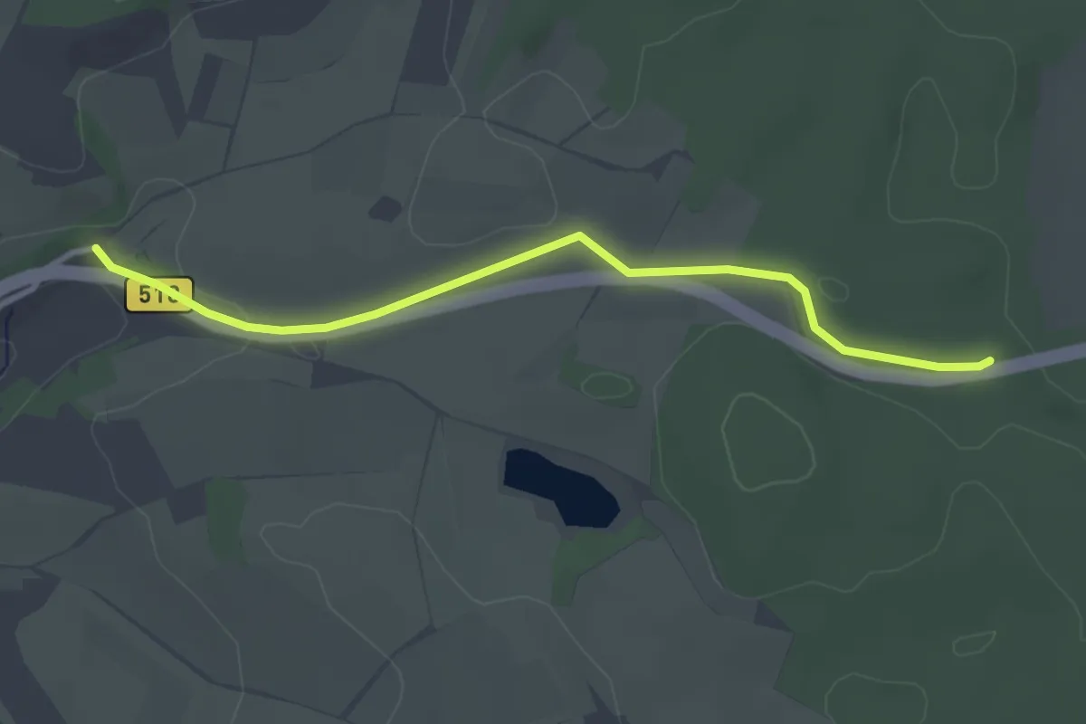
Easy · Trail
Eichener Kühbrünnli - Am Hasler Weg
3.1 km · ↑ 48 m · 51 min · 11 km away
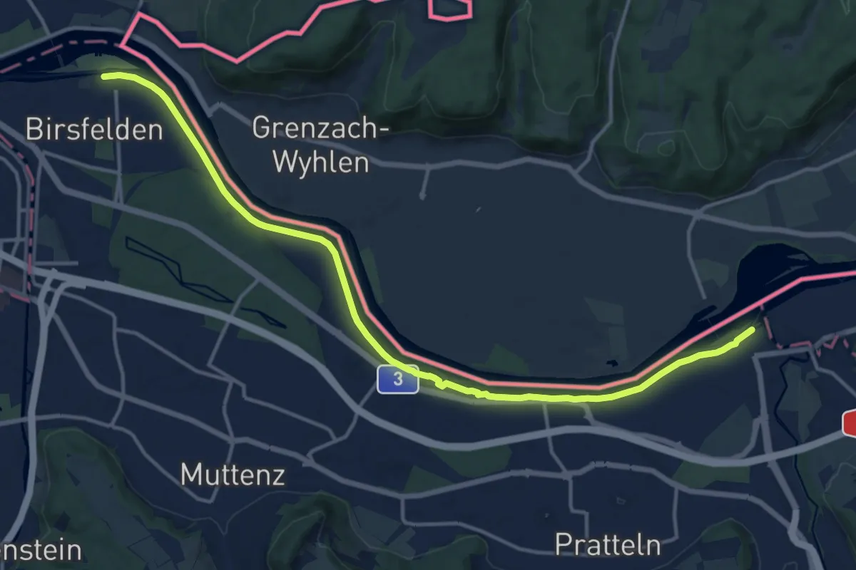
Medium · Trail
Birsfelden – Augst Schiffstation
15.5 km · ↑ 42 m · 3 h 45 min · 12 km away
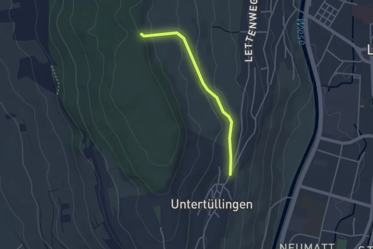
Easy · Trail
Käferholz - Tüllingen Hornbrunnenweg
2.7 km · ↑ 81 m · 48 min · 12 km away
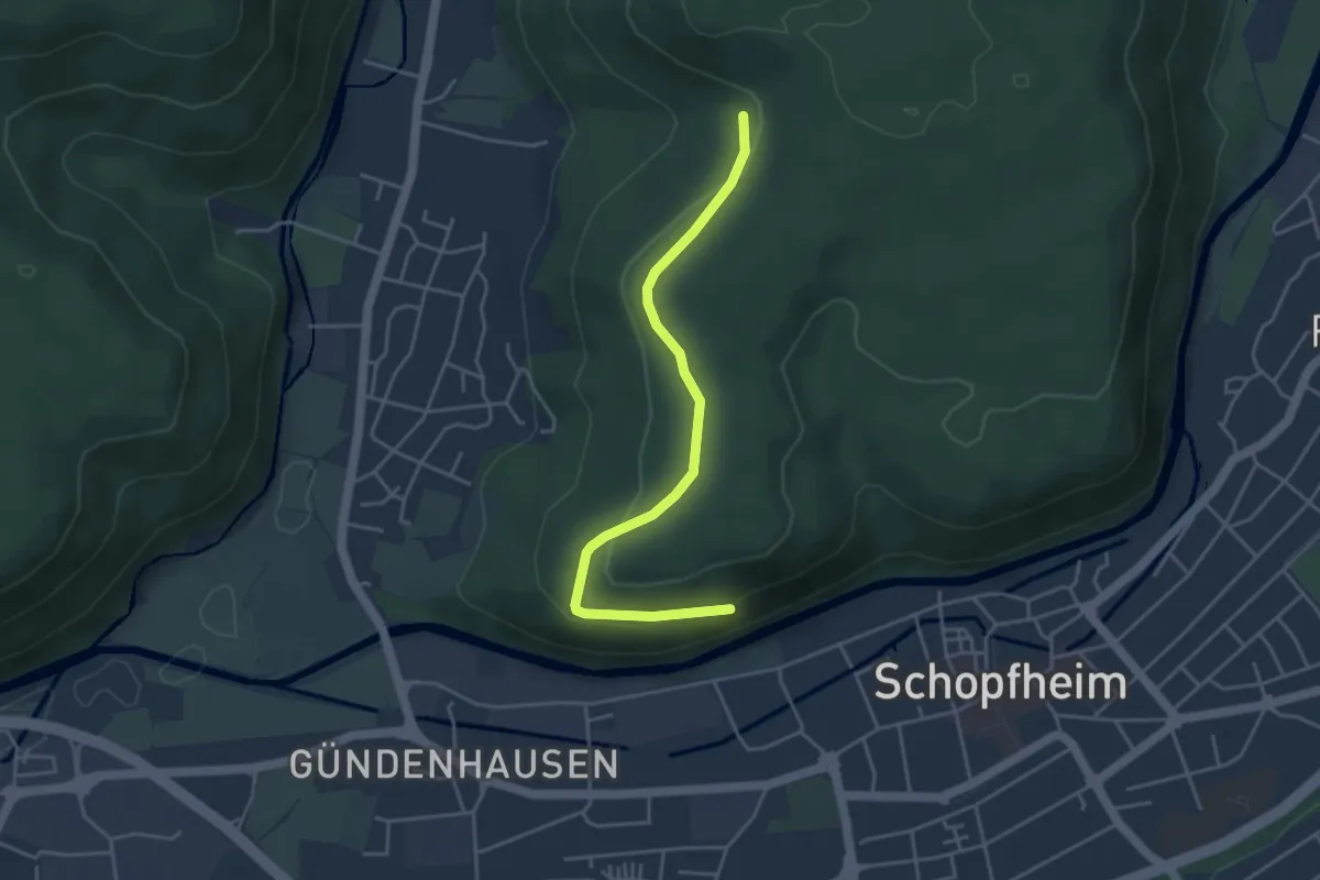
Easy · Trail
Dachsgrabenbrünnli - Gündenhausener Halde
4.1 km · ↑ 122 m · 1 h 13 min · 12 km away
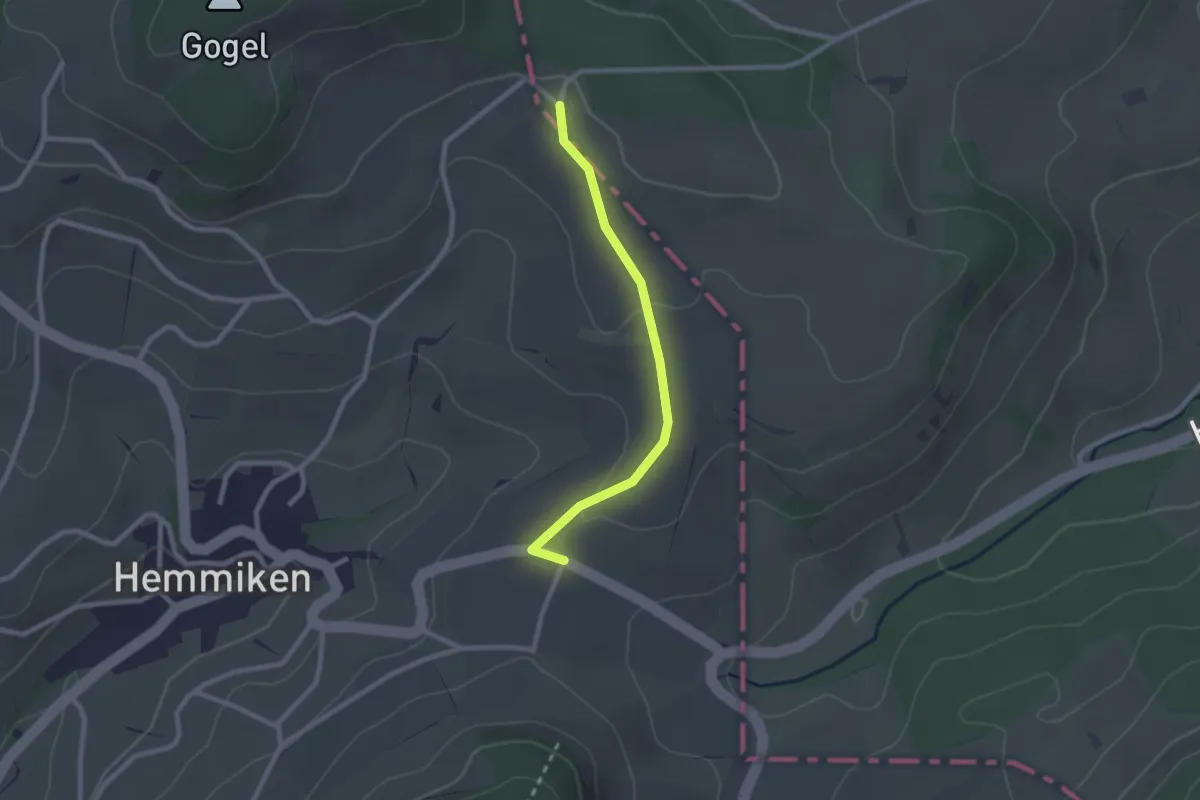
Easy · Trail
Junkerschloss - Chilp
2.2 km · ↑ 39 m · 36 min · 12 km away
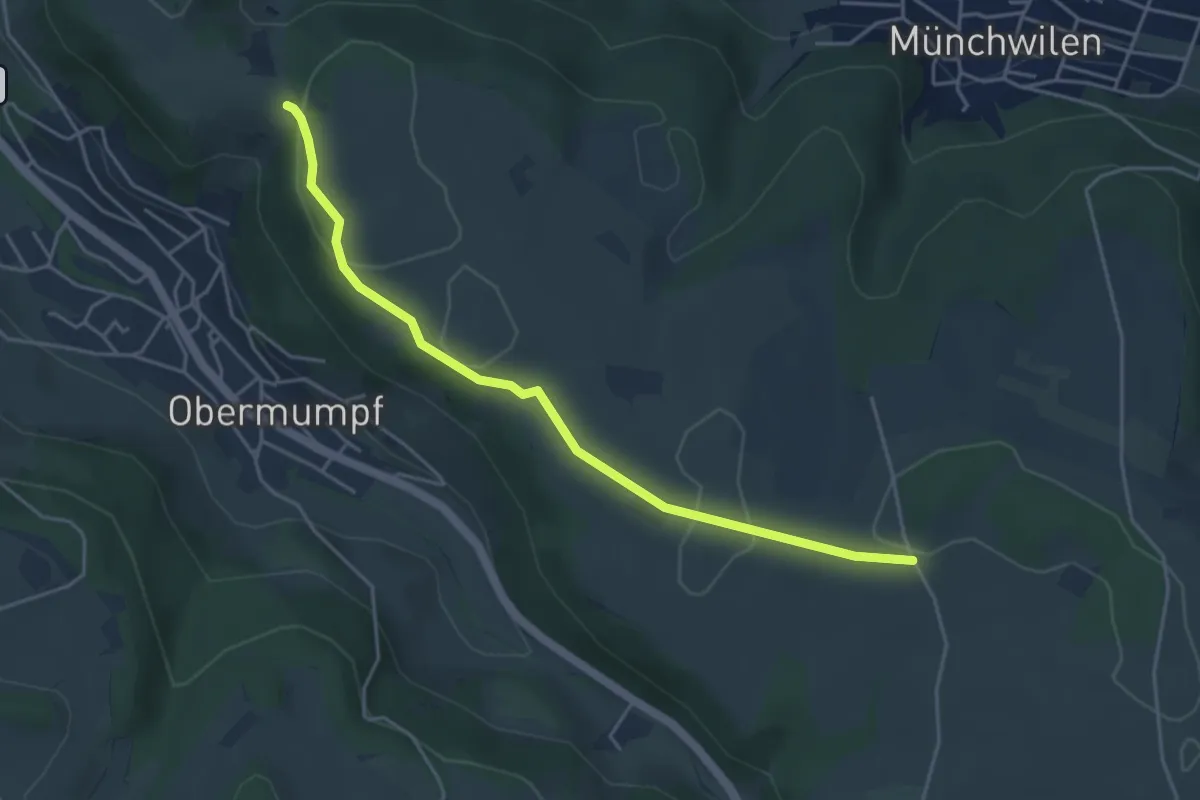
Easy · Trail
Eikerberg - Chatzenflue
4.4 km · ↑ 39 m · 1 h 8 min · 12 km away
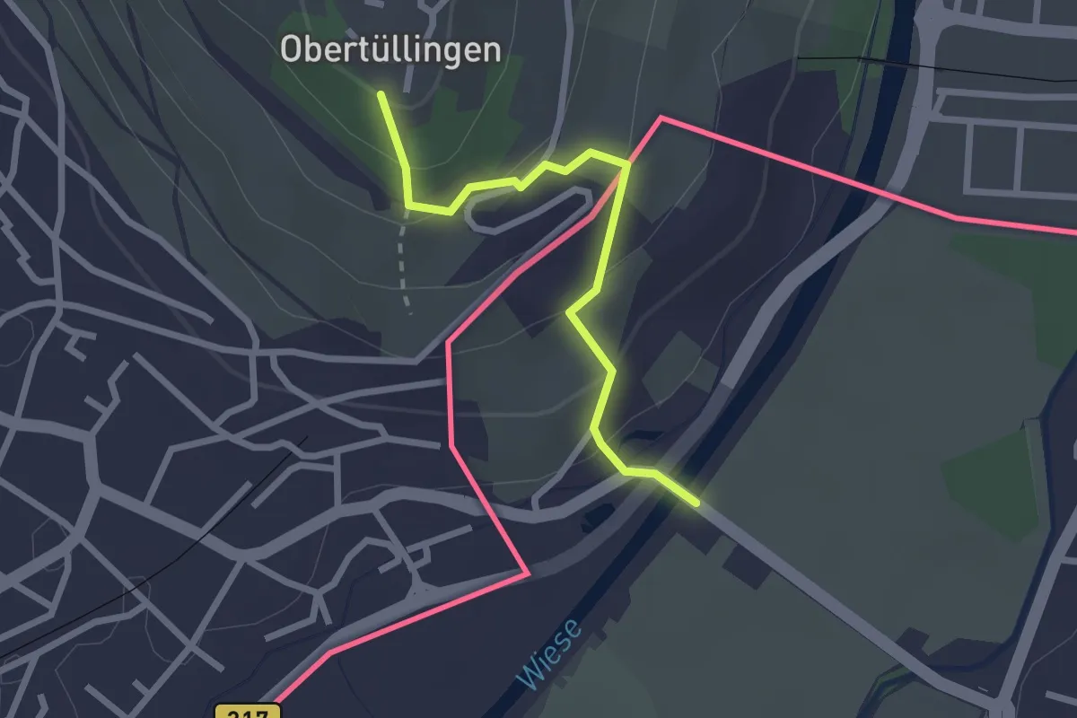
Easy · Trail
Riehen Bad – Tüllingen Lindenplatz
2.2 km · ↑ 128 m · 48 min · 12 km away
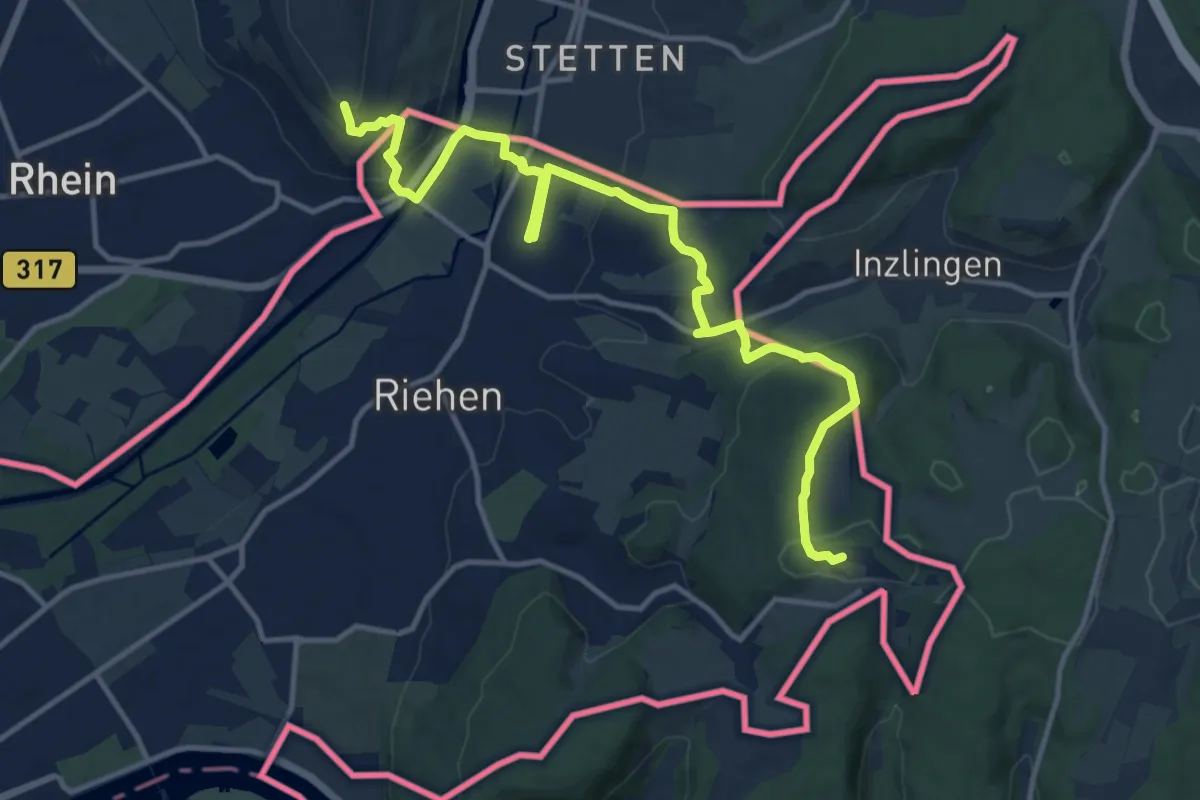
Medium · Summit
Dreiland-Wanderweg - Etappe 2
14.8 km · ↑ 482 m · 4 h 33 min · 12 km away
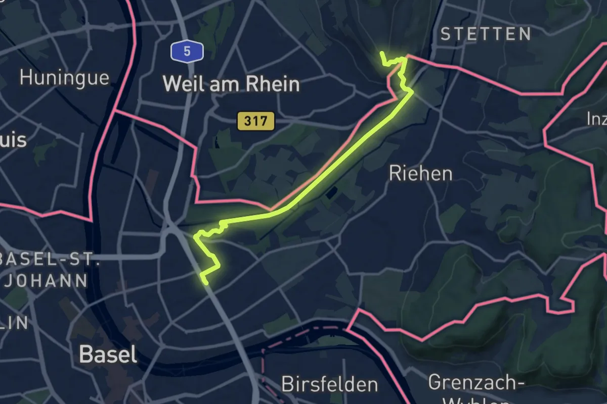
Medium · Trail
Westweg (Westliche Variante)
12.3 km · ↑ 150 m · 3 h 14 min · 12 km away
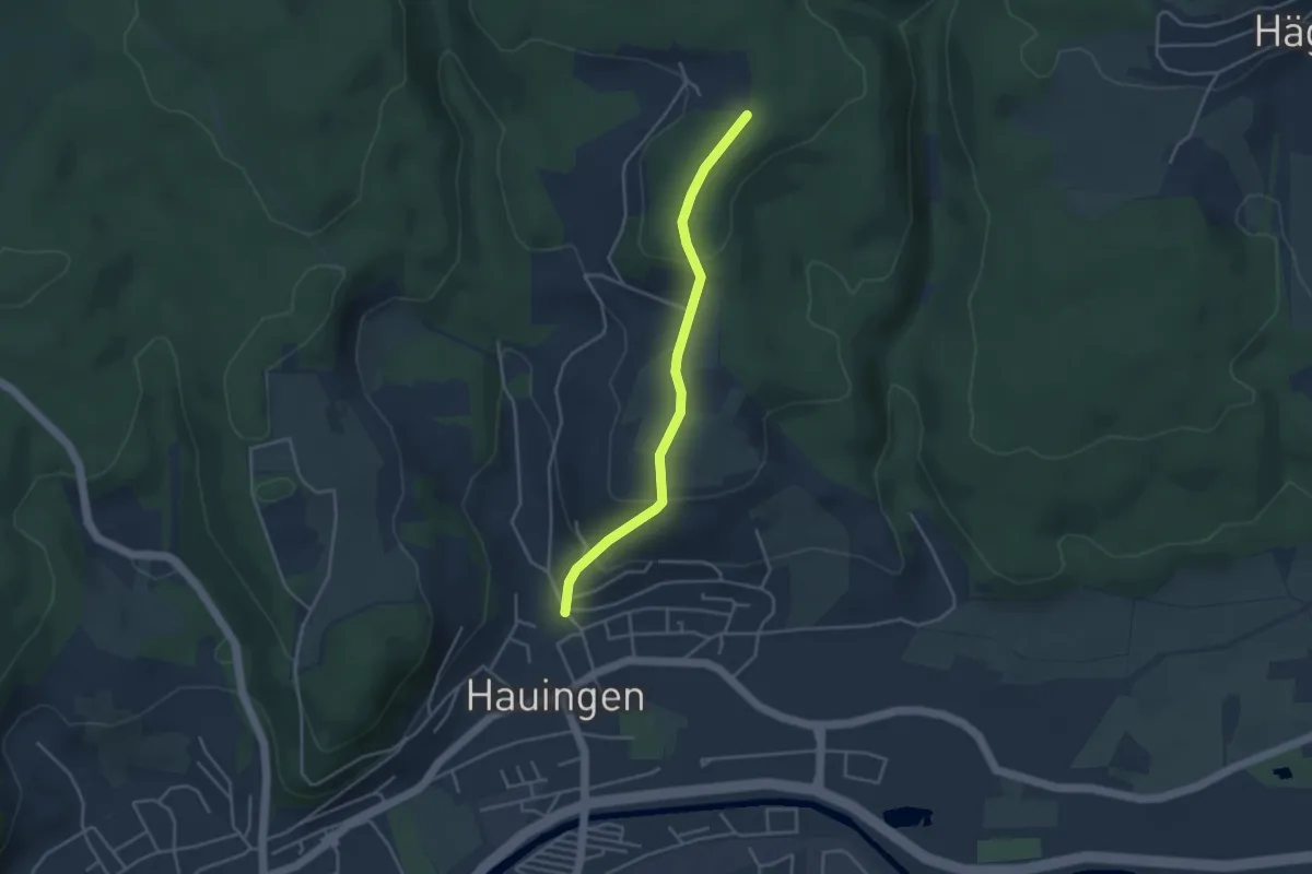
Easy · Trail
Rechberg - Hauingen Dornhalde
3.6 km · ↑ 161 m · 1 h 12 min · 12 km away
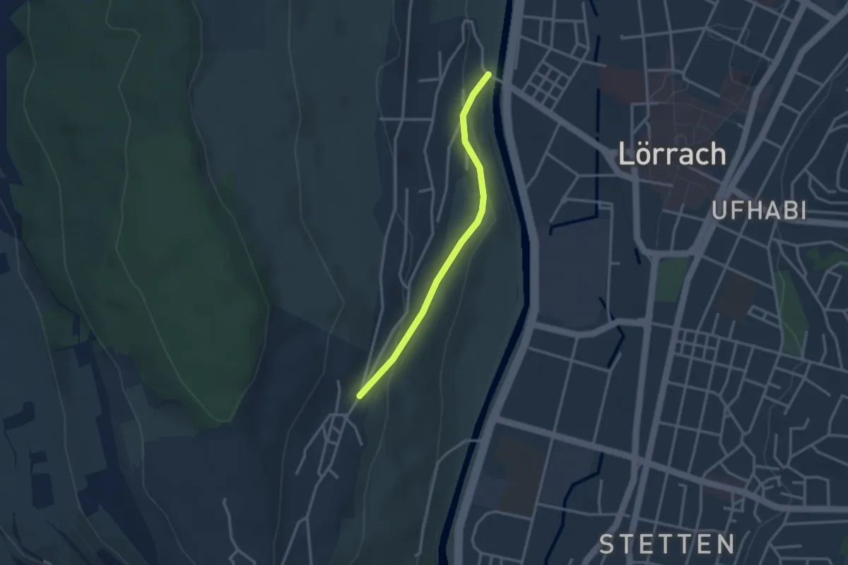
Easy · Trail
Tüllingen Hornbrunnenweg - Wiesenbrücke Tüllingen
2.6 km · ↑ 101 m · 50 min · 12 km away
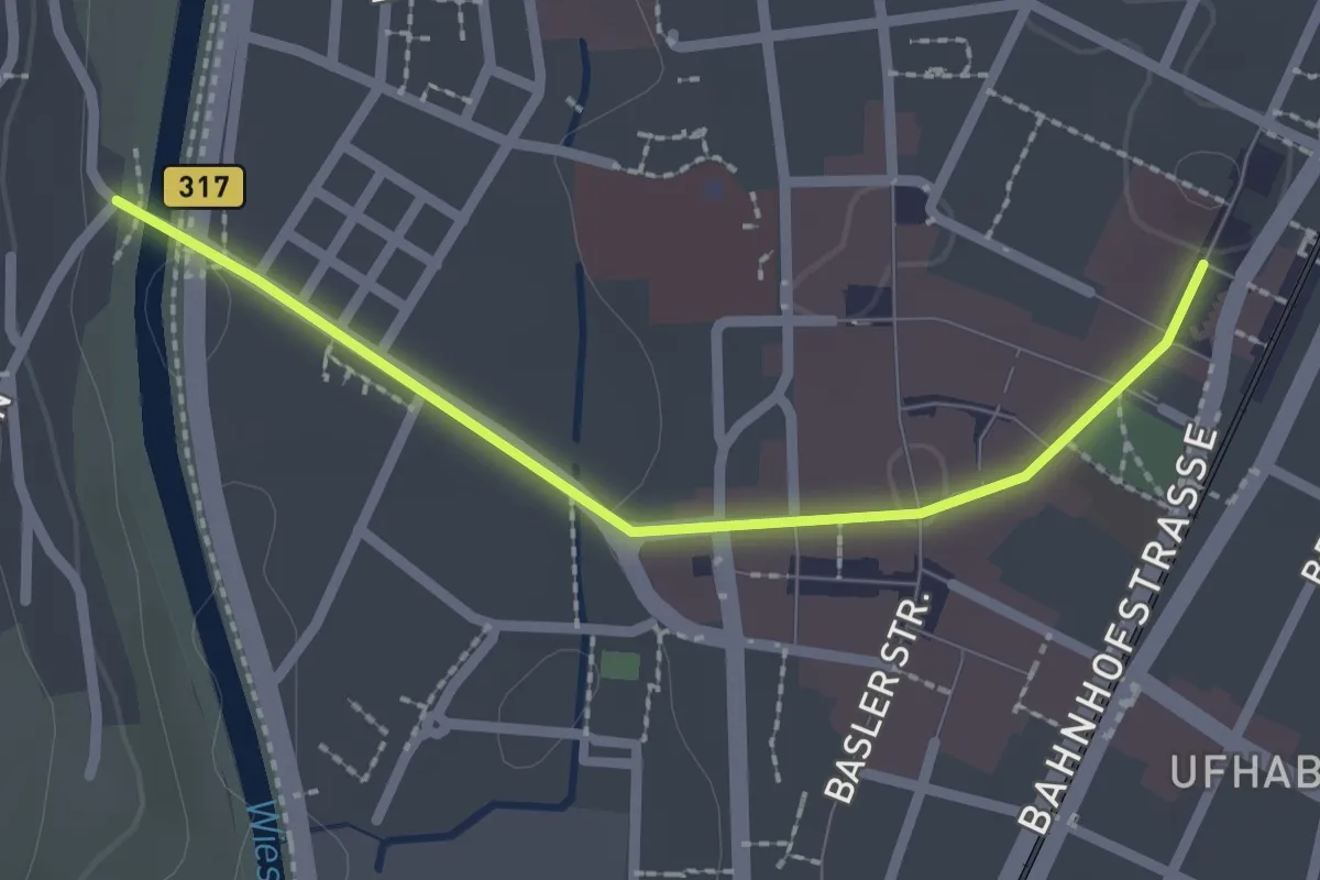
Easy · Trail
Wiesenbrücke Tüllingen - Lörrach Bahnhof
2.2 km · ↑ 21 m · 33 min · 12 km away
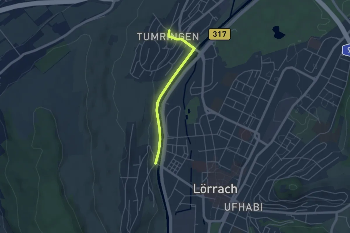
Easy · Trail
Tumringen Engel - Wiesenbrücke Tüllingen
3.5 km · ↑ 49 m · 56 min · 12 km away
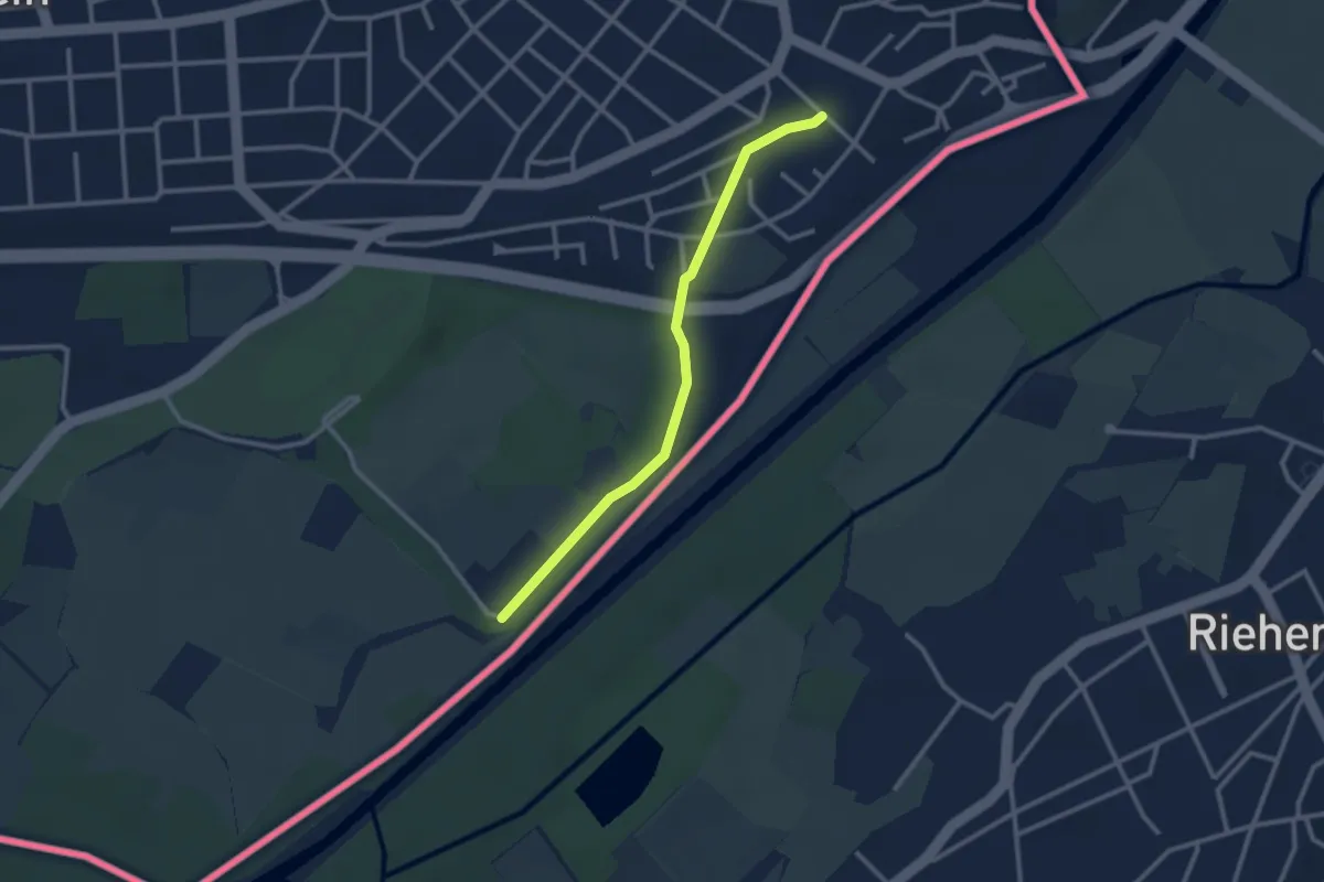
Easy · Trail
Soleck - Bahnhof Weil am Rhein Ost
2.6 km · ↑ 19 m · 39 min · 12 km away
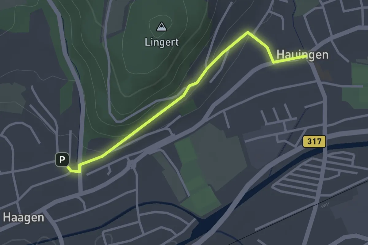
Easy · Trail
Haagen Lichsen - Hauingen Kirche
2.6 km · ↑ 79 m · 48 min · 12 km away
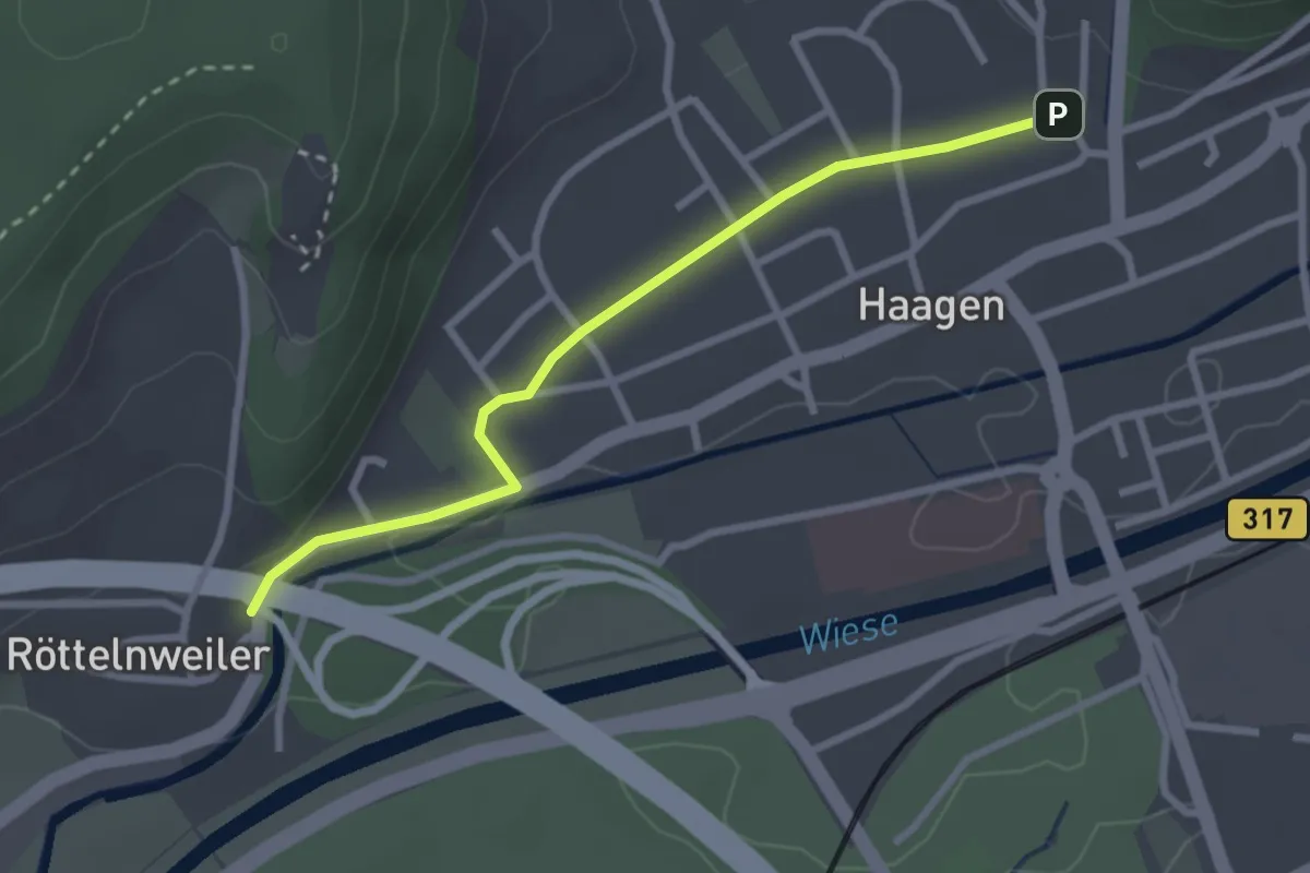
Easy · Trail
Röttelnweiler Hasenloch - Haagen Lichsen
2.7 km · ↑ 22 m · 41 min · 12 km away
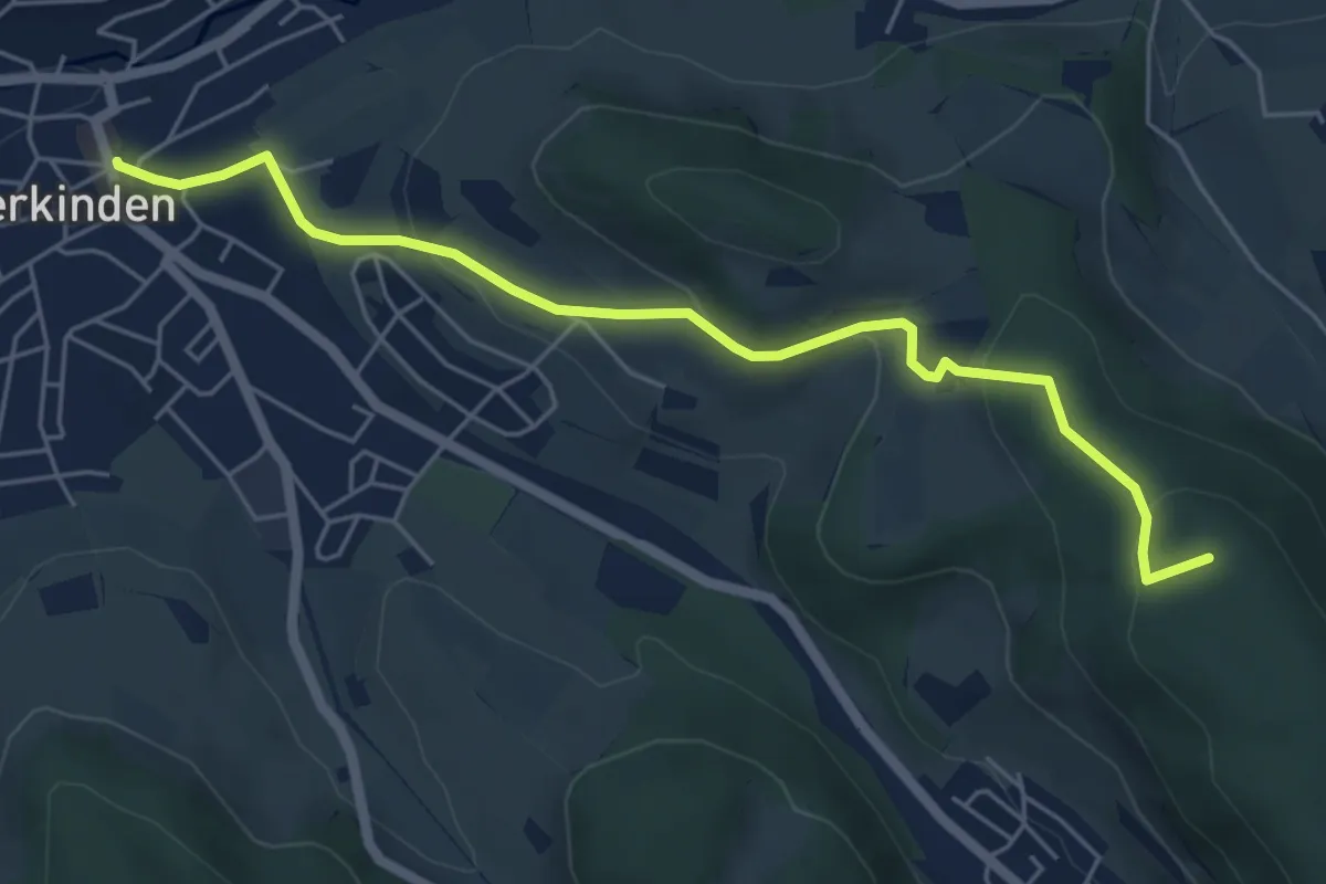
Easy · Summit
Gelterkinden – Wenslingen
5.7 km · ↑ 222 m · 1 h 49 min · 12 km away
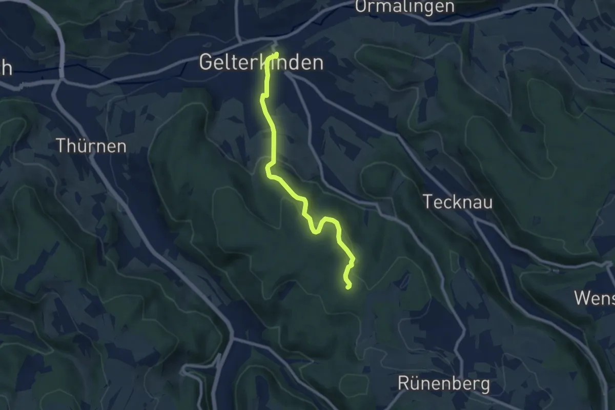
Easy · Trail
Gelterkinden – Gelterkinden Berg
7.1 km · ↑ 282 m · 2 h 18 min · 12 km away
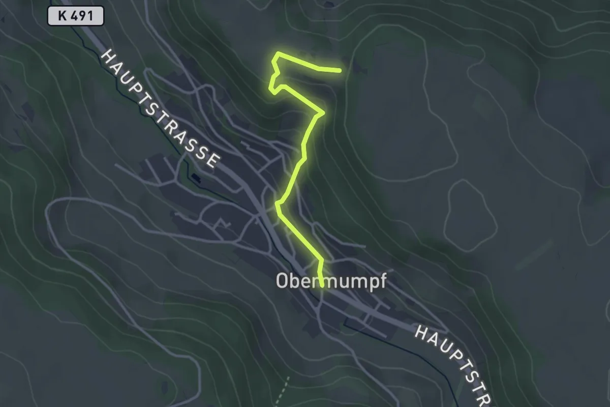
Easy · Trail
Obermupf - Chatzenflue
2.8 km · ↑ 121 m · 55 min · 12 km away
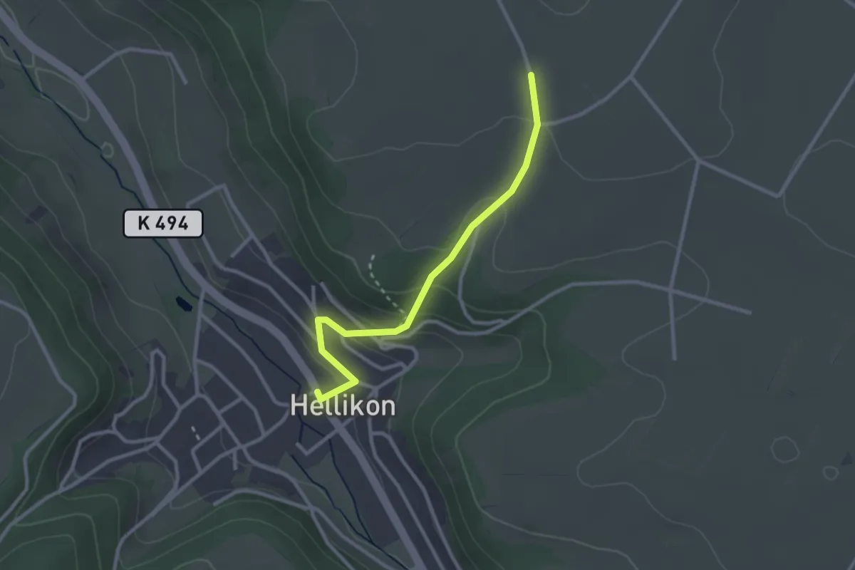
Easy · Trail
Hellikon – Wabrig
2.6 km · ↑ 128 m · 54 min · 12 km away
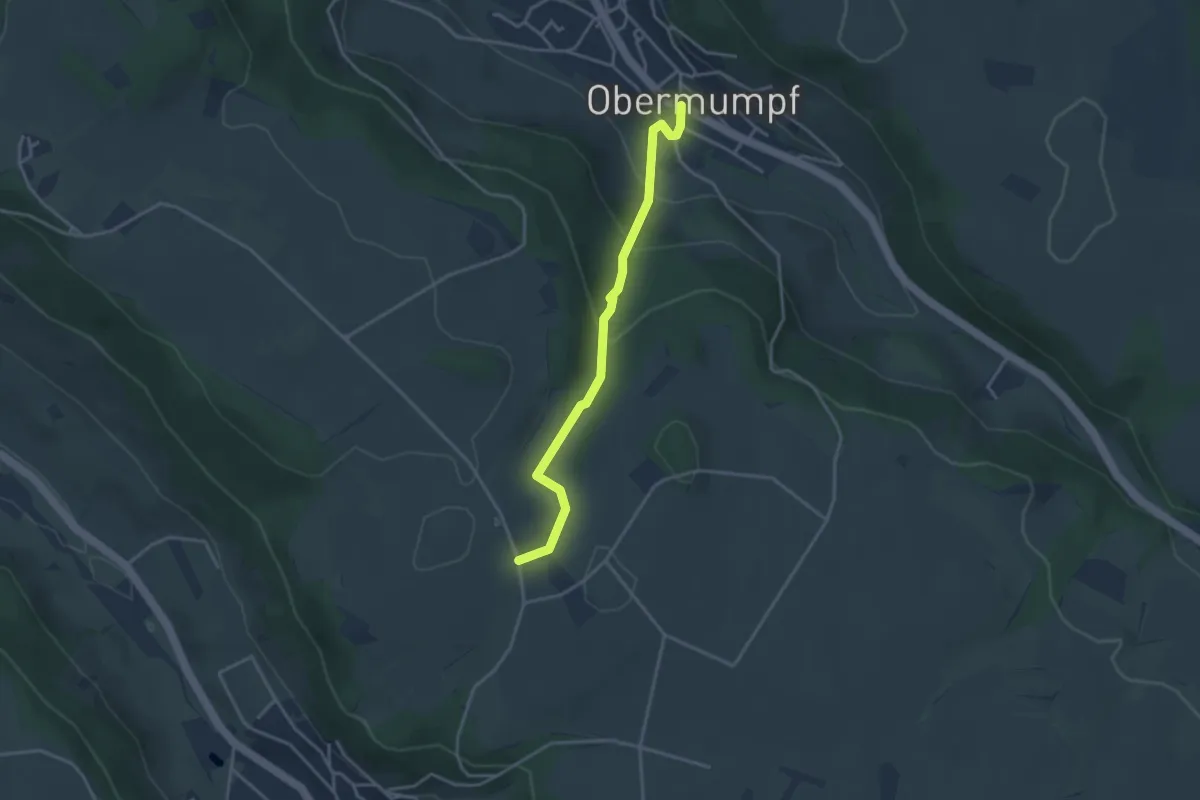
Easy · Trail
Wabrig - Obermupf
3.3 km · ↑ 168 m · 1 h 9 min · 12 km away
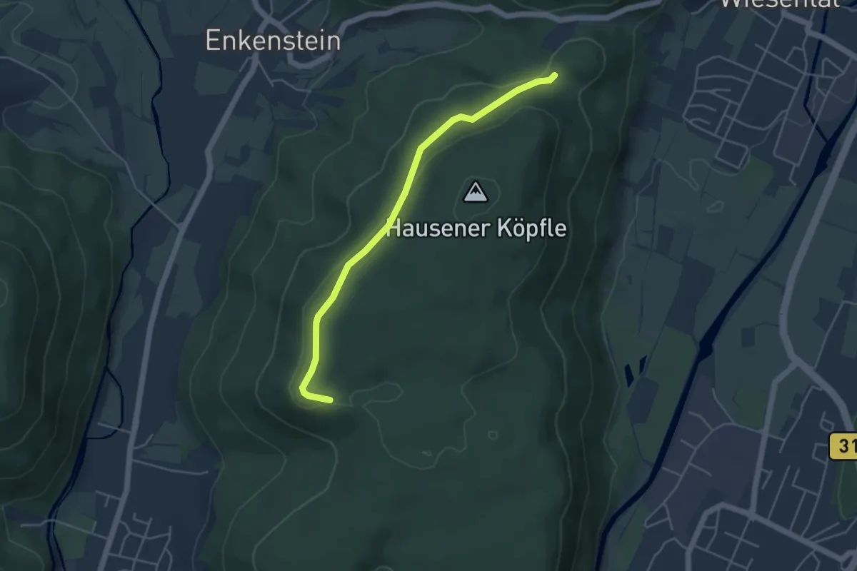
Easy · Trail
Ob der Katzhalde - Am Hausener Köpfle
4.2 km · ↑ 83 m · 1 h 10 min · 12 km away
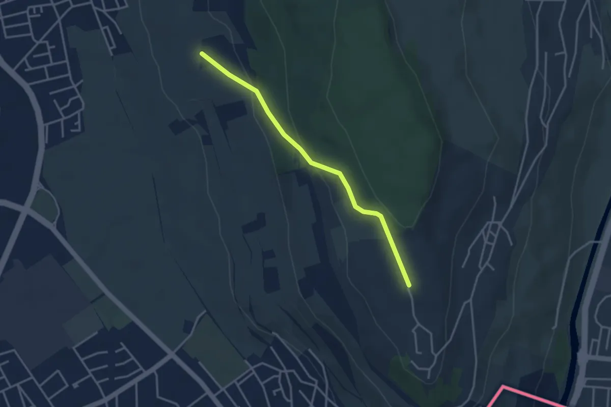
Easy · Trail
Tüllinger Weg - Tüllingen Lindenplatz
3.0 km · ↑ 114 m · 58 min · 12 km away
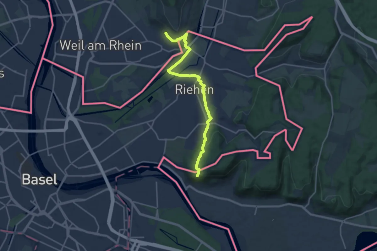
Medium · Trail
Markgräfler Wiiwegli
13.1 km · ↑ 286 m · 3 h 43 min · 12 km away
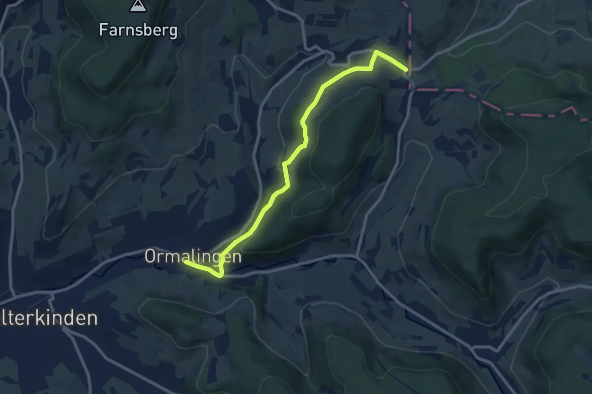
Easy · Trail
Junkerschloss - Ormalingen
7.7 km · ↑ 255 m · 2 h 22 min · 12 km away
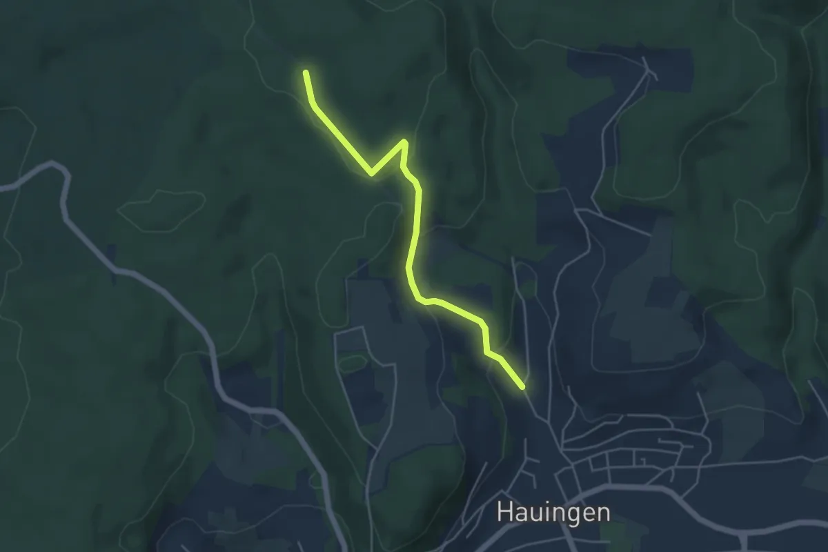
Easy · Trail
Wolfsgrube - Jungholzweg
4.2 km · ↑ 152 m · 1 h 19 min · 12 km away
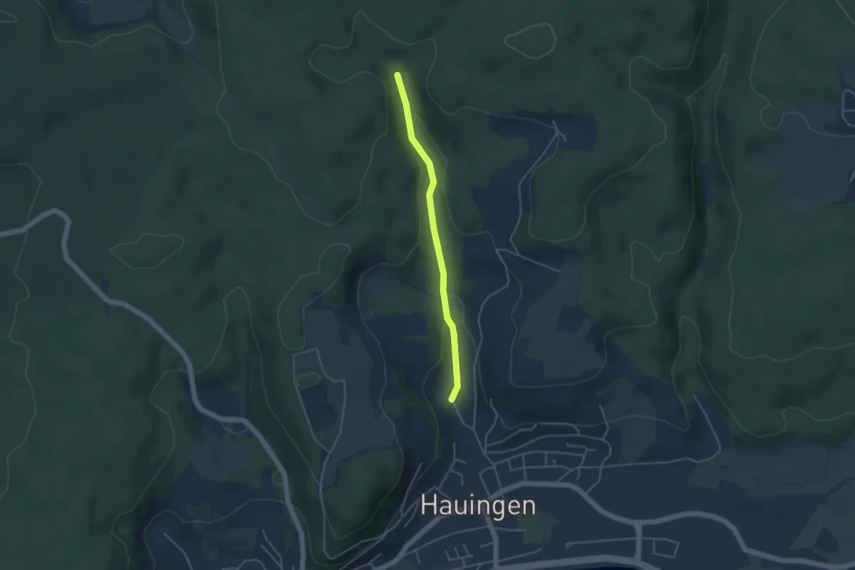
Easy · Trail
Obere Soormatt - Jungholzweg
3.5 km · ↑ 98 m · 1 h 2 min · 12 km away
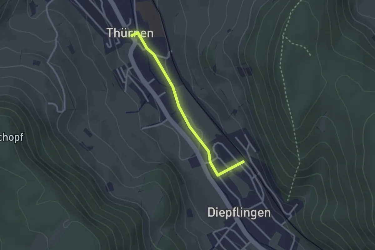
Easy · Trail
Diepflingen - Thürnen
2.3 km · ↑ 25 m · 36 min · 12 km away
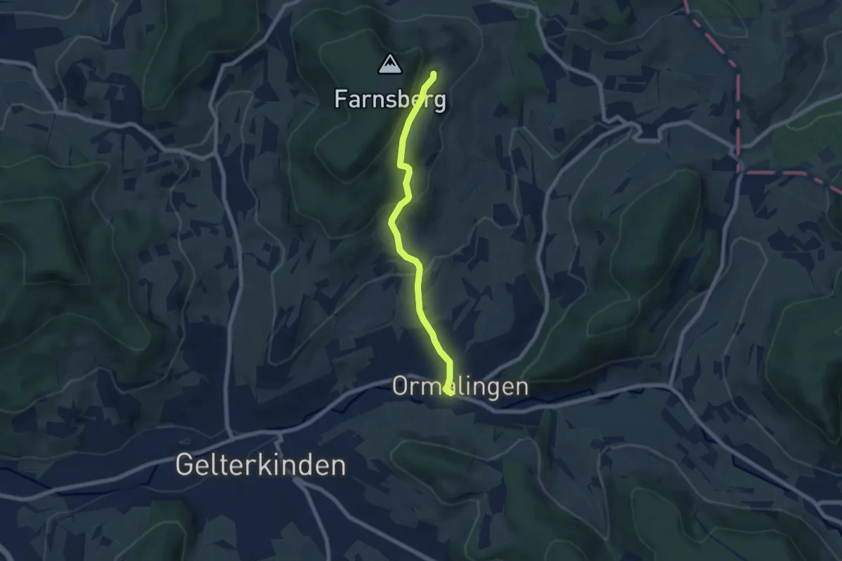
Easy · Trail
Farnsburg – Ormalingen
5.8 km · ↑ 275 m · 1 h 58 min · 12 km away
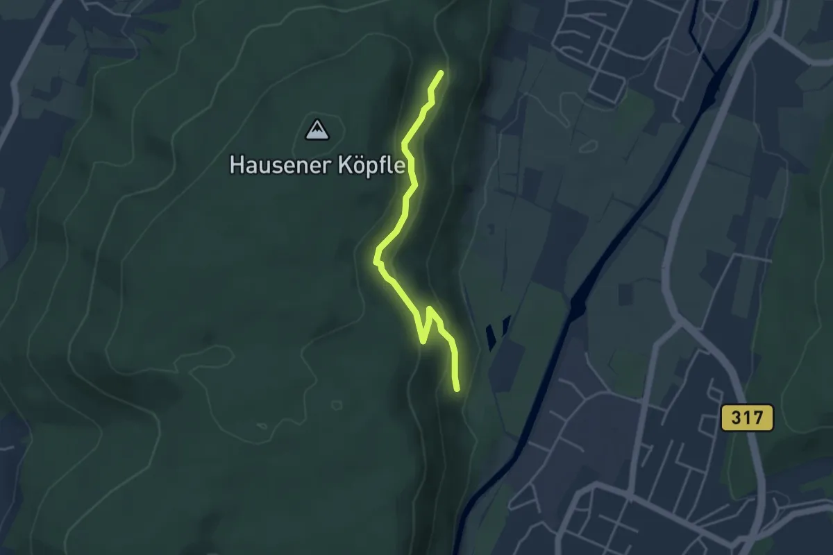
Easy · Trail
Ehner Fahrnau - Niederberg
3.4 km · ↑ 152 m · 1 h 8 min · 12 km away
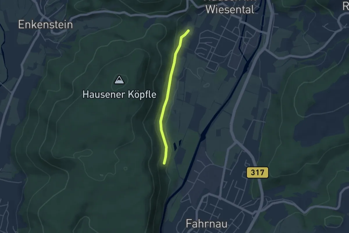
Easy · Trail
Ehner Fahrnau - Säuwäid
3.4 km · ↑ 101 m · 1 h 2 min · 12 km away
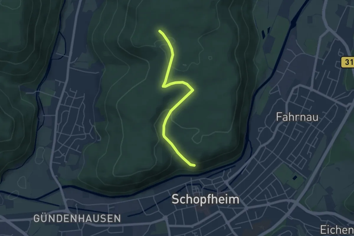
Easy · Trail
Ob der Altstadt - Oberer Eichbühlweg
4.4 km · ↑ 125 m · 1 h 19 min · 12 km away
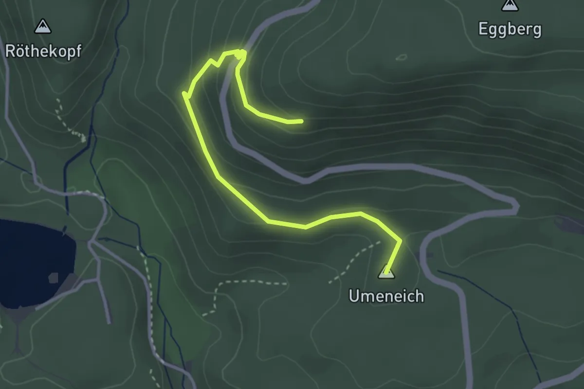
Easy · Summit
Am Eggberg – Umeich
3.4 km · ↑ 166 m · 1 h 10 min · 12 km away
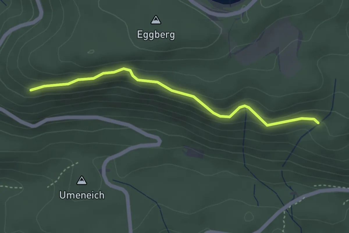
Easy · Trail
Am Eggberg – Totenbühlbrunnen
3.2 km · ↑ 147 m · 1 h 5 min · 12 km away
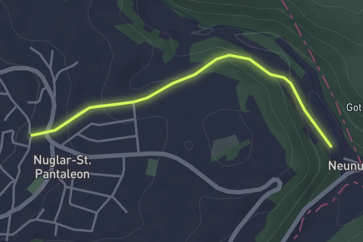
Easy · Trail
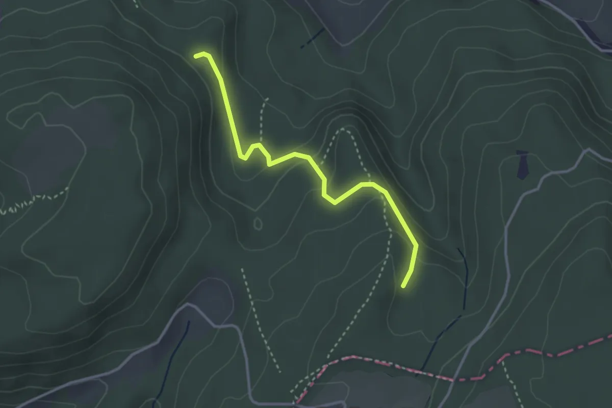
Nuglar - Neunuglar - fixme
2.8 km · ↑ 114 m · 55 min · 12 km away
Easy · Trail
Winterhalle – Flösch
3.0 km · ↑ 139 m · 1 h 1 min · 12 km away
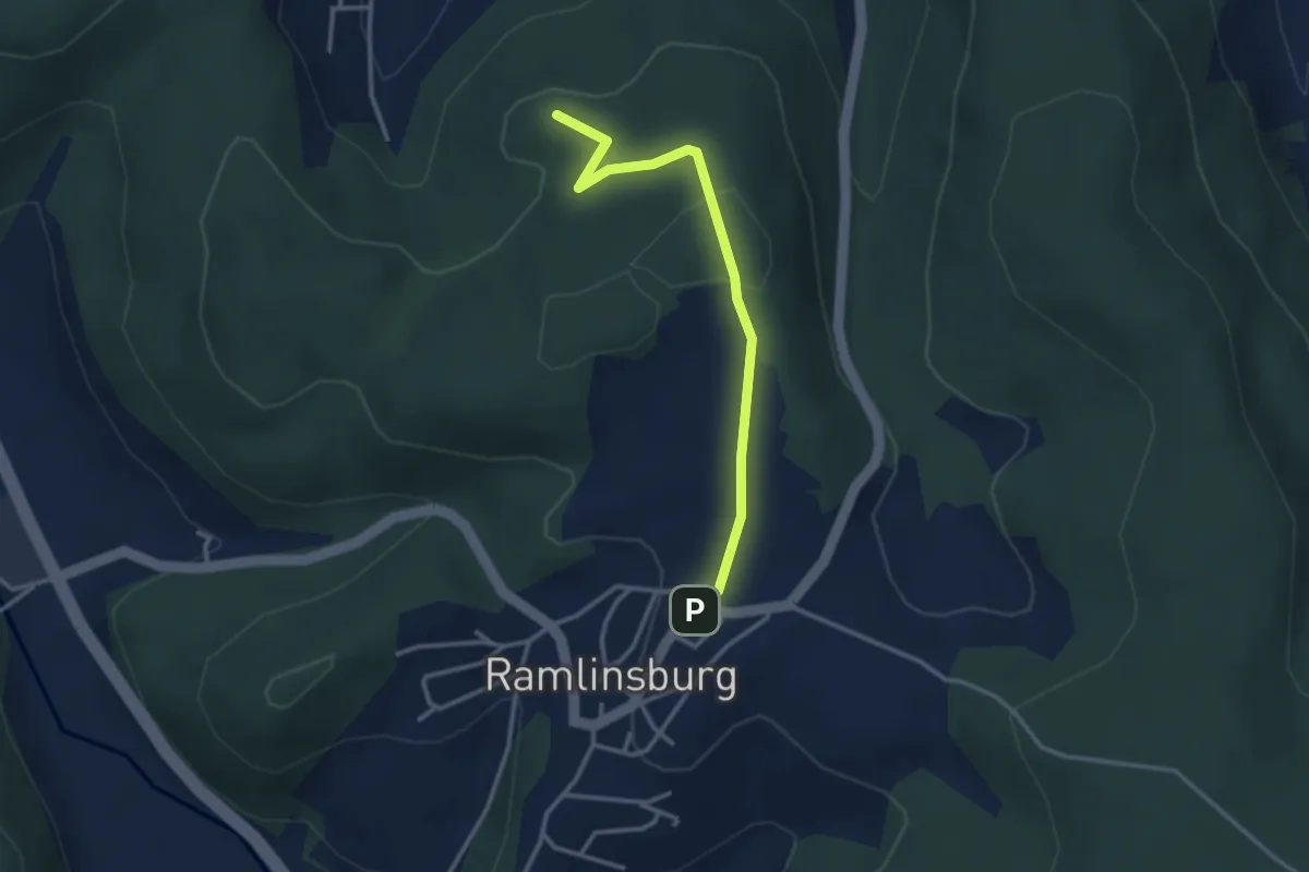
Easy · Summit
Ramlinsburg – Lausen
3.0 km · ↑ 102 m · 56 min · 12 km away
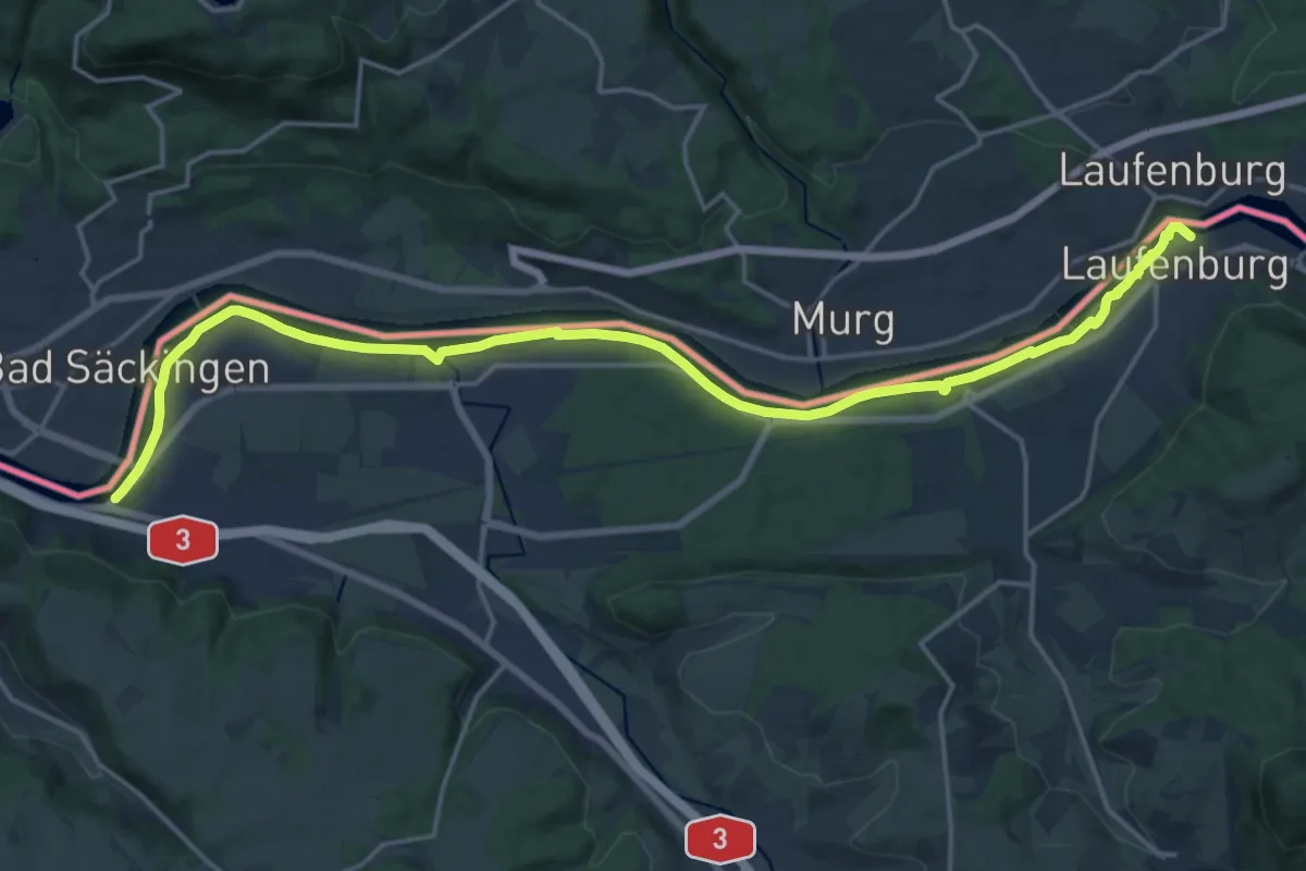
Demanding · Trail
ViaRhenana
21.1 km · ↑ 90 m · 5 h 11 min · 12 km away
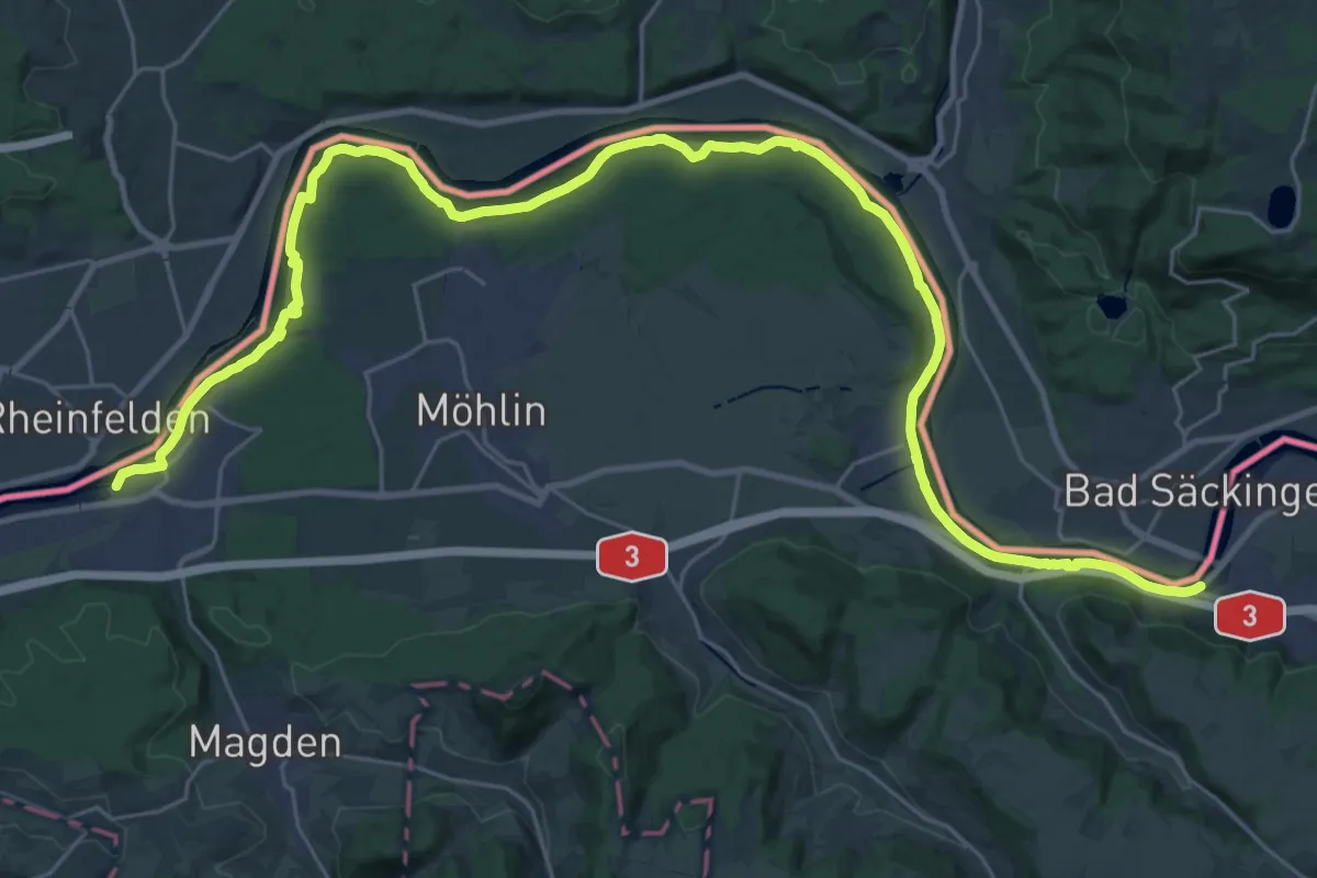
Demanding · Trail
ViaRhenana
19.1 km · ↑ 151 m · 5 h 7 min · 12 km away