Trails near Rheinfelden (Baden)
357 hikes starting within 15 km, nearest first.
Nearest first, page 6 of 8
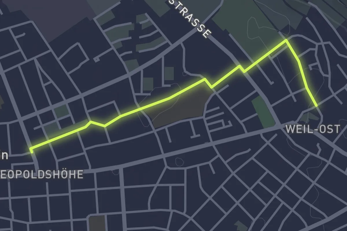
Easy · Trail
Weil am Rhein Messeplatz - Weil am Rhein Bläsiring
3.2 km · ↑ 4 m · 46 min · 12 km away
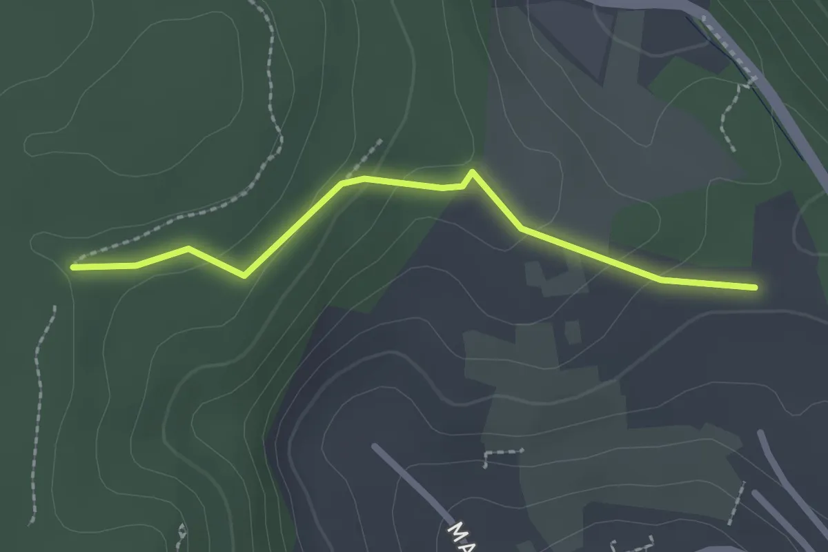
Easy · Trail
Am Trimm-Dich-Pfad - Scherbenacker
2.0 km · ↑ 79 m · 39 min · 12 km away
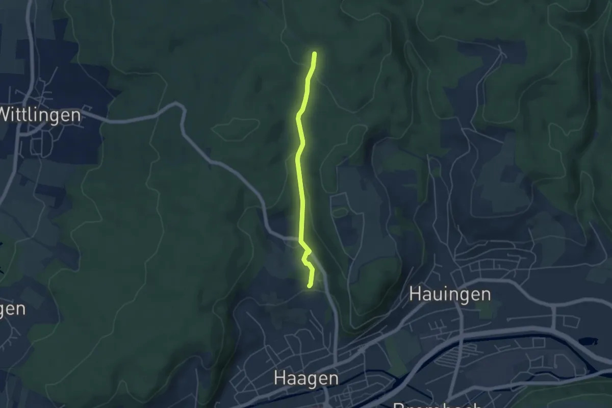
Easy · Trail
Wolfsgrube - Scherbenacker
3.9 km · ↑ 115 m · 1 h 11 min · 12 km away
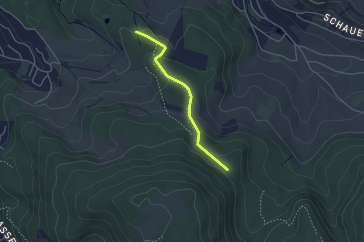
Easy · Trail
Winterhalle – Rütihardbrücke?
2.7 km · ↑ 100 m · 51 min · 12 km away
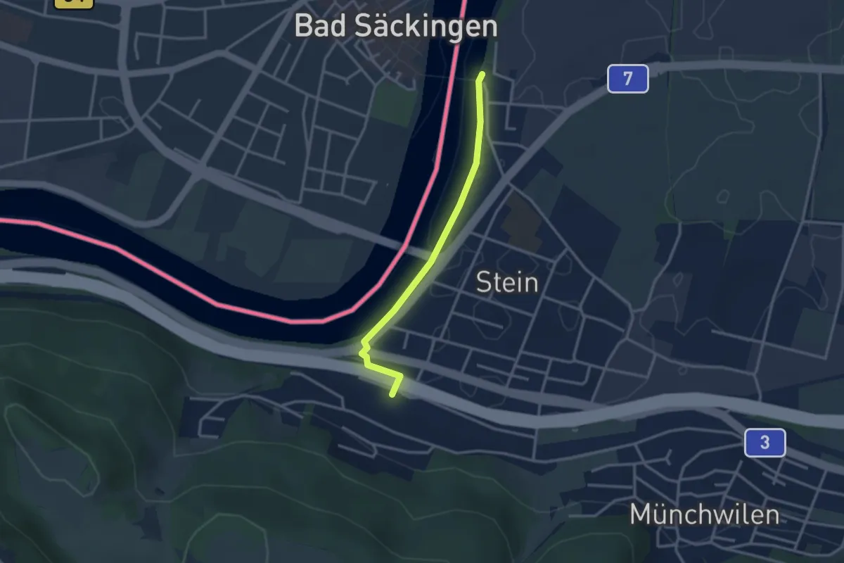
Easy · Trail
Stein-Säckingen – Stein Holzbrücke
2.8 km · ↑ 42 m · 45 min · 12 km away
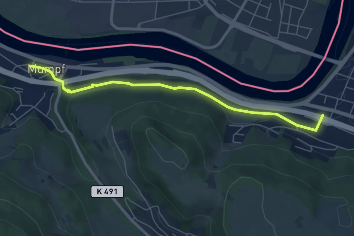
Easy · Trail
Stein Säckingen - Mumpf
5.1 km · ↑ 111 m · 1 h 26 min · 12 km away
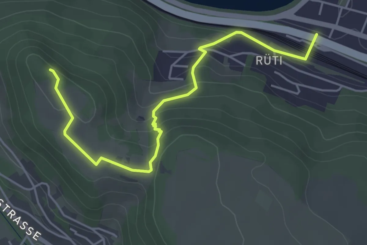
Easy · Trail
Stein Säckingen - Mumpferflue
4.7 km · ↑ 229 m · 1 h 36 min · 12 km away
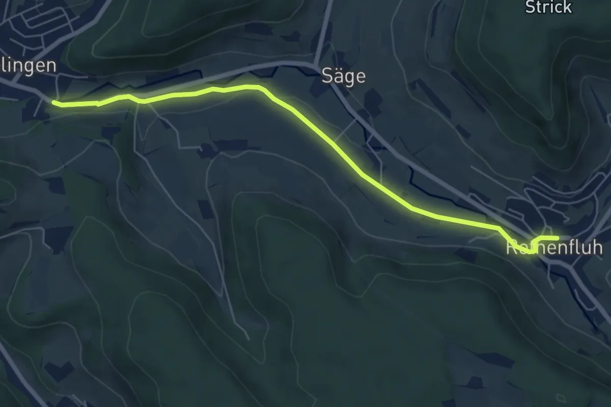
Easy · Trail
Rothenfluh – Ormalingen
6.1 km · ↑ 60 m · 1 h 34 min · 12 km away
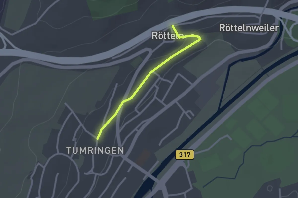
Easy · Trail
Kirche Rötteln - Tumringen Engel
2.0 km · ↑ 33 m · 33 min · 12 km away
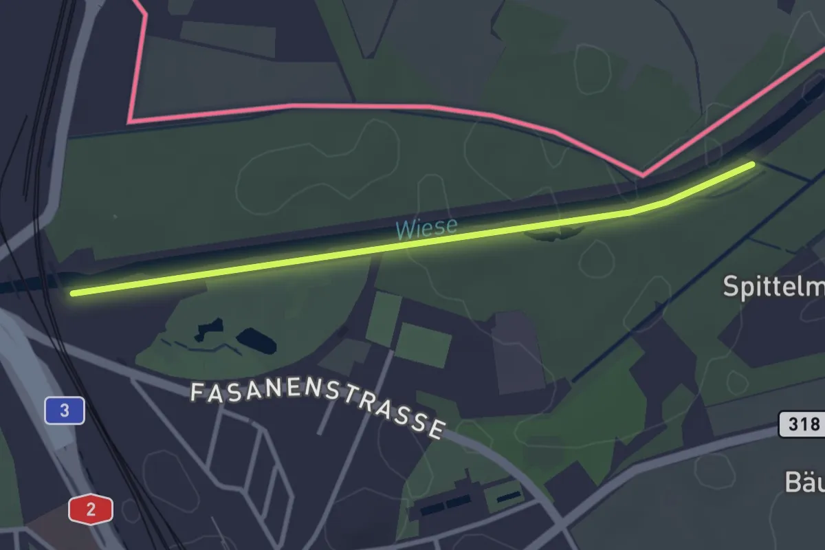
Easy · Trail
Wiesenweg
2.9 km · ↑ 5 m · 42 min · 12 km away
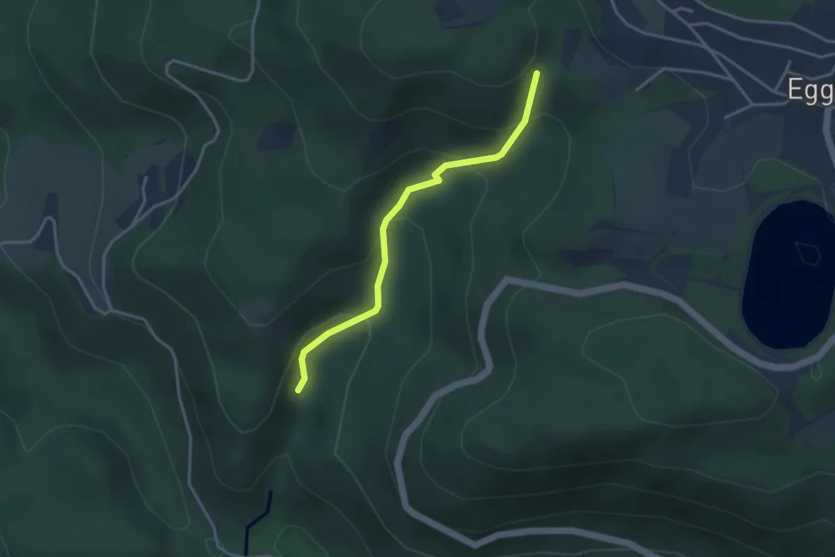
Medium · Trail
Schöpfebachtal – Beim Jungholzer Felsen
2.9 km · ↑ 204 m · 1 h 7 min · 13 km away
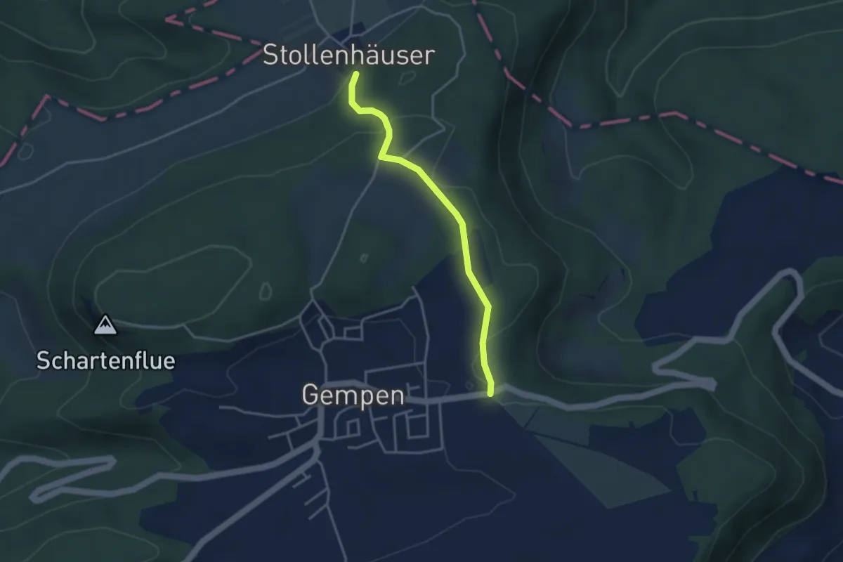
Easy · Trail
Haglenfeld – Stollenhäuser
3.1 km · ↑ 92 m · 56 min · 13 km away
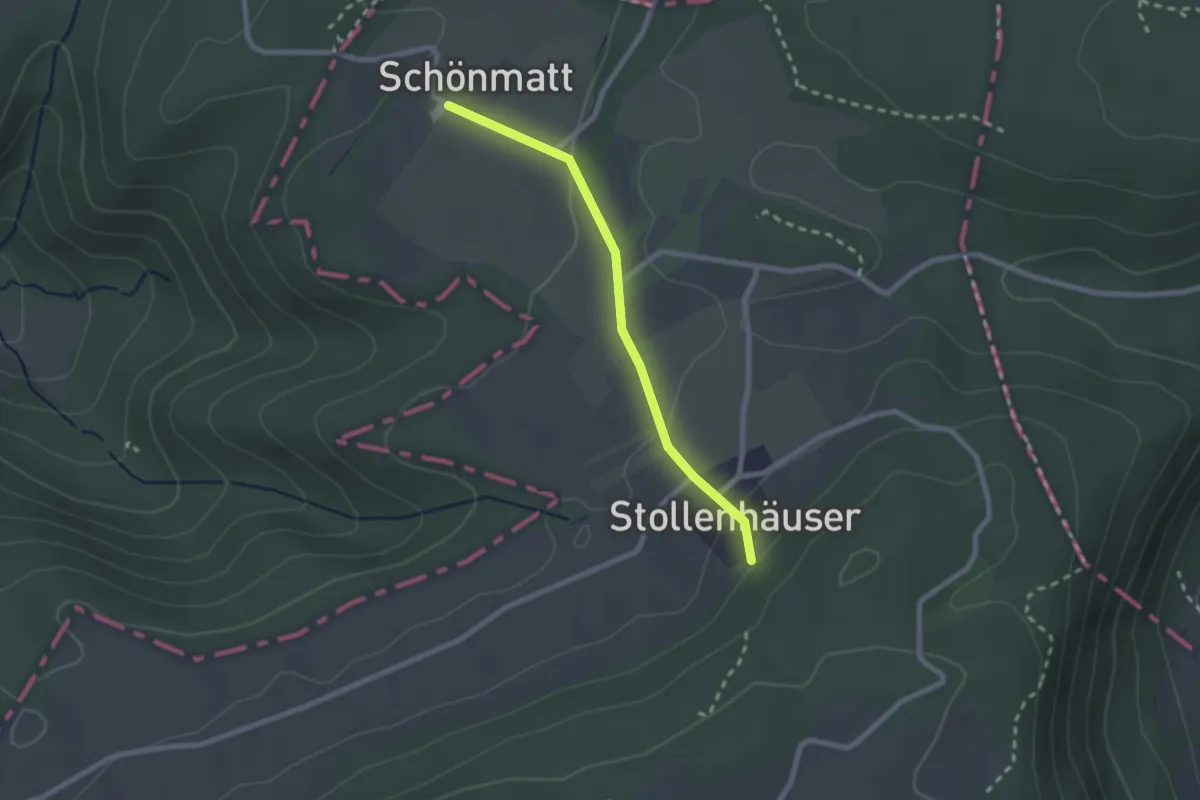
Easy · Trail
Schönmatt – Stollenhäuser
2.1 km · ↑ 70 m · 39 min · 13 km away
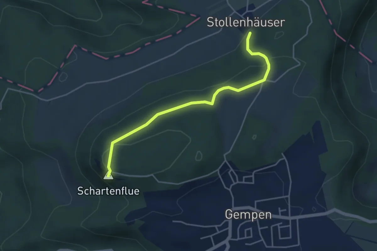
Medium · Summit
Schartenflue – Stollenhäuser
3.7 km · ↑ 125 m · 1 h 9 min · 13 km away
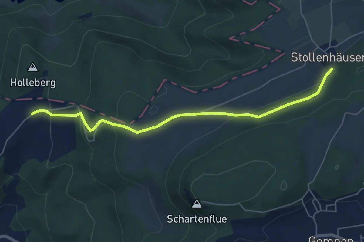
Easy · Trail
Schlosshof – Stollenhäuser
4.9 km · ↑ 187 m · 1 h 34 min · 13 km away
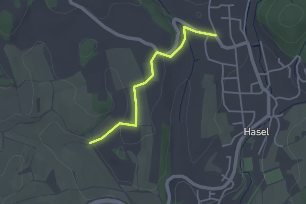
Easy · Trail
Hasel Oberdorf - Zay
2.5 km · ↑ 48 m · 41 min · 13 km away
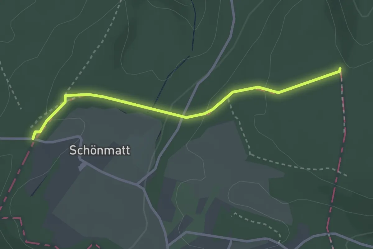
Easy · Trail
Eichmatt – Hoher Bannstein
2.7 km · ↑ 82 m · 48 min · 13 km away
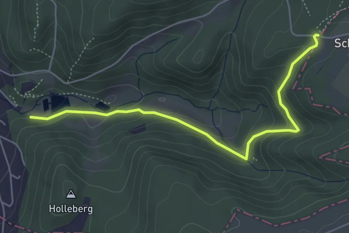
Easy · Trail
Eichmatt – Ermitage
4.8 km · ↑ 232 m · 1 h 38 min · 13 km away
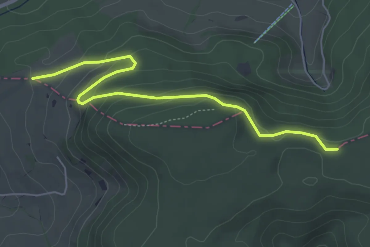
Easy · Trail
Usseri Weid – Kei
5.0 km · ↑ 194 m · 1 h 37 min · 13 km away
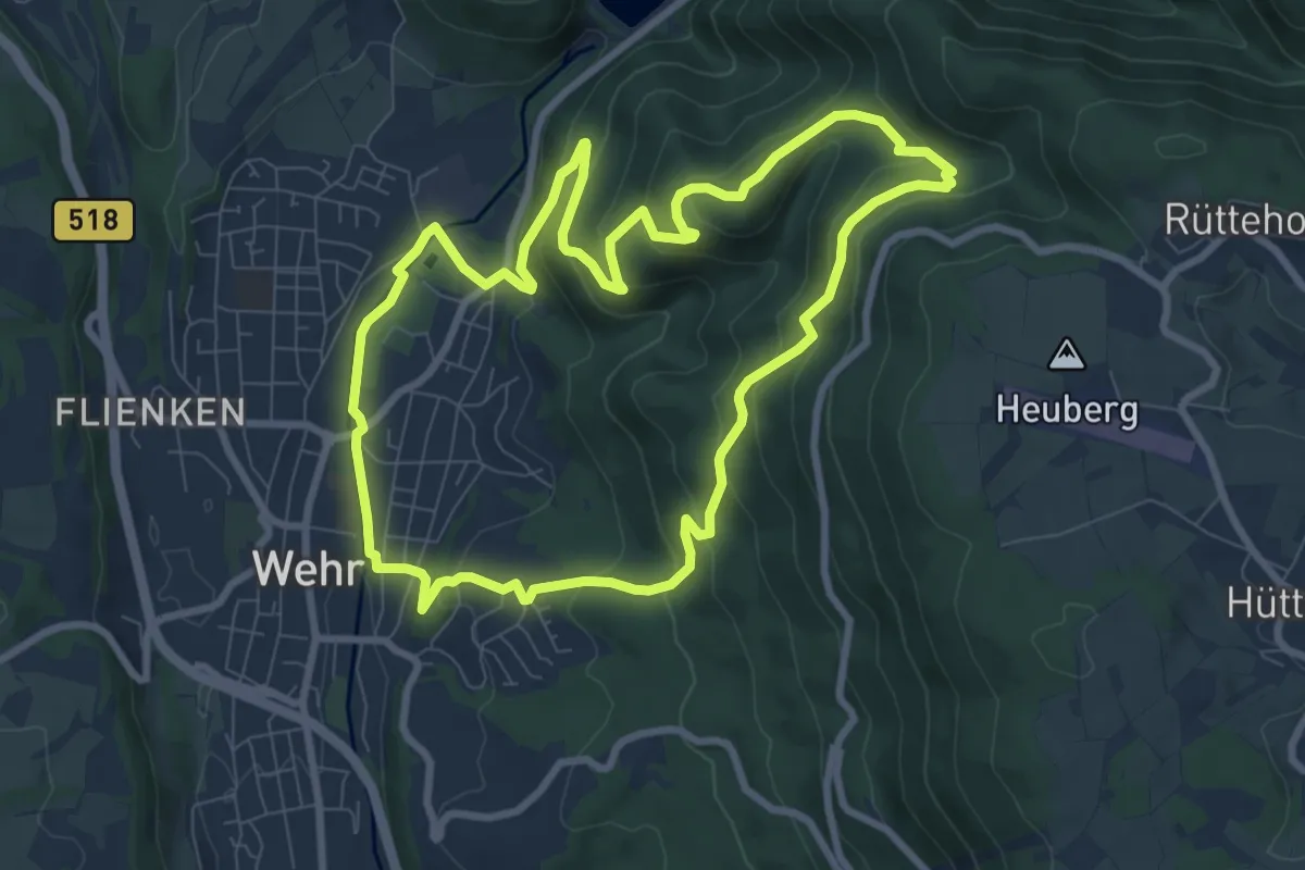
Medium · Trail
2-Burgen-Weg
8.4 km · ↑ 404 m · 2 h 59 min · 13 km away
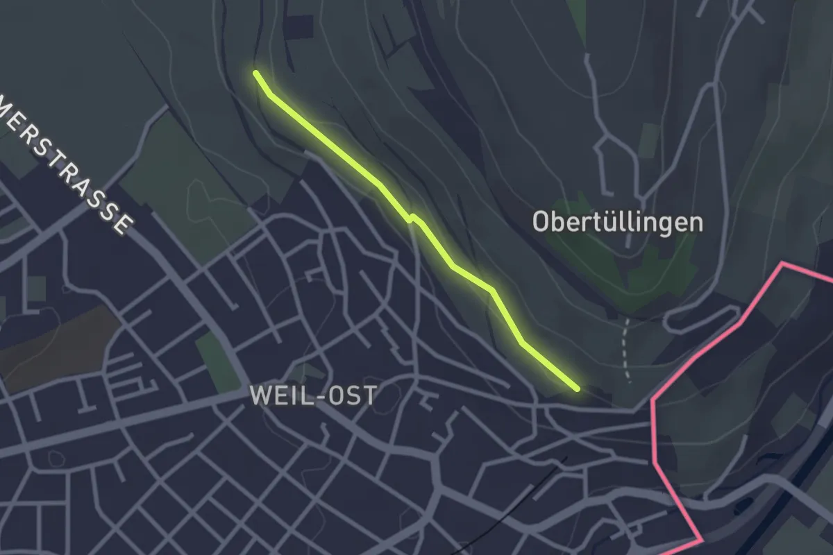
Easy · Trail
Kapf - Petris
2.1 km · ↑ 30 m · 33 min · 13 km away
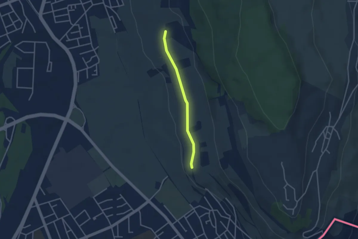
Easy · Trail
Tüllinger Weg - Kapf
2.4 km · ↑ 18 m · 36 min · 13 km away
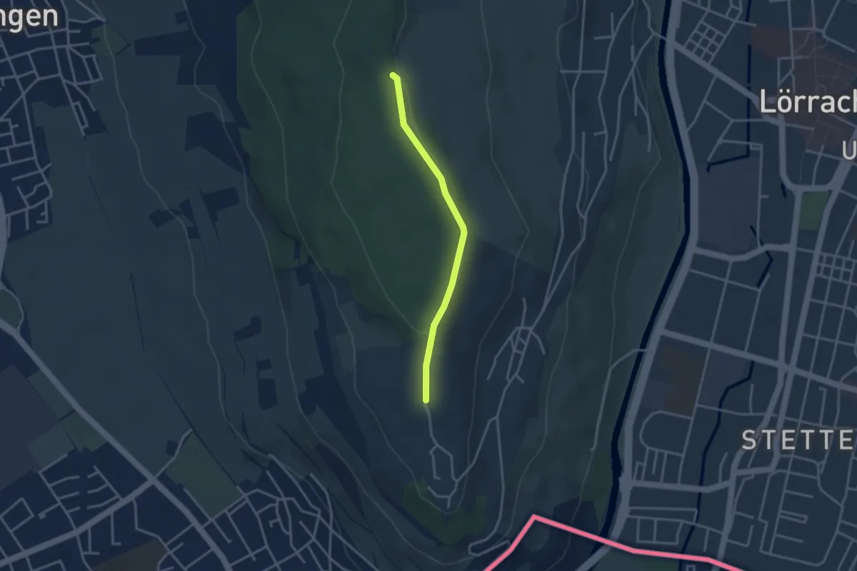
Easy · Trail
Käferholz - Tüllingen Lindenplatz
2.8 km · ↑ 50 m · 47 min · 13 km away
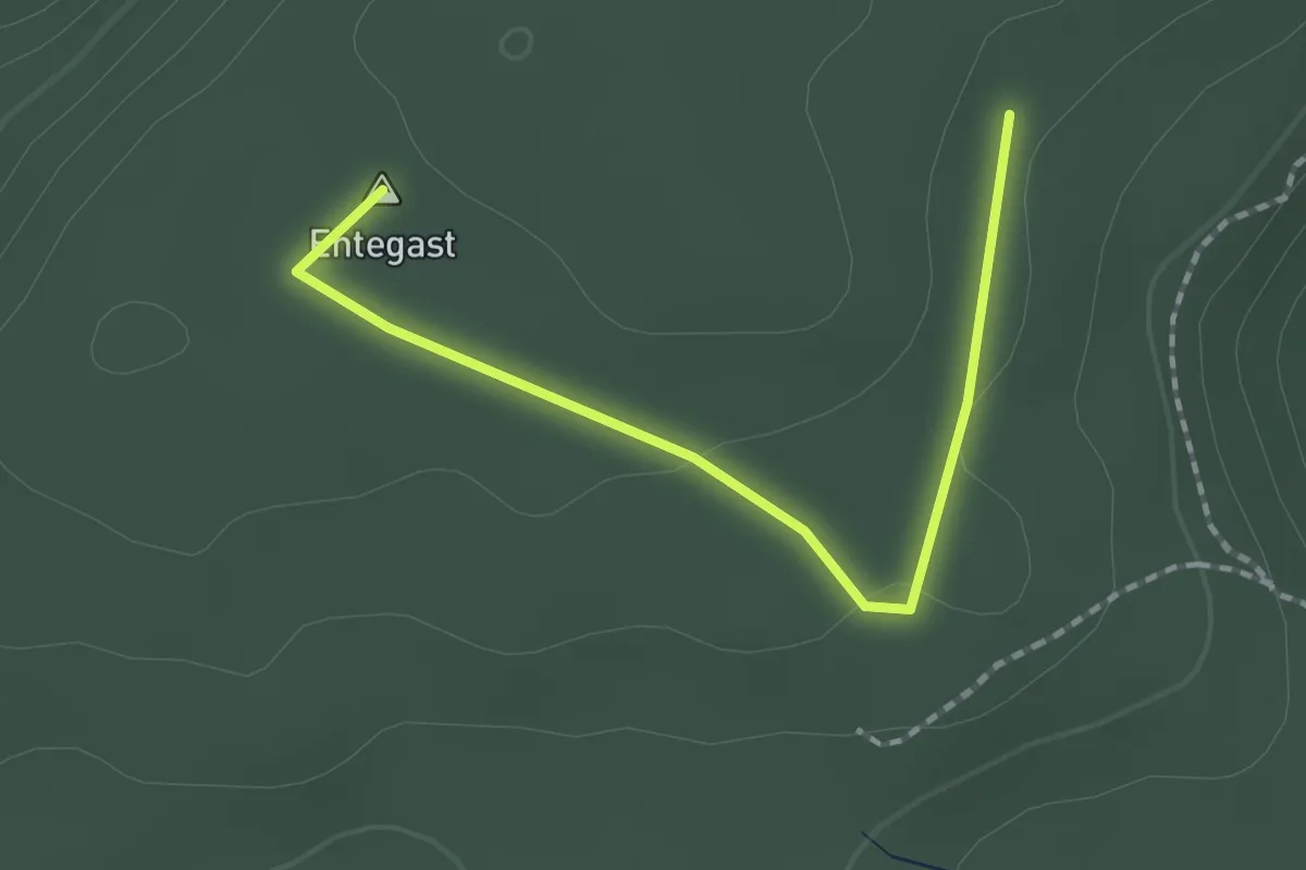
Easy · Summit
Kesselboden - Oberer Eichbühlweg
1.9 km · ↑ 23 m · 29 min · 13 km away
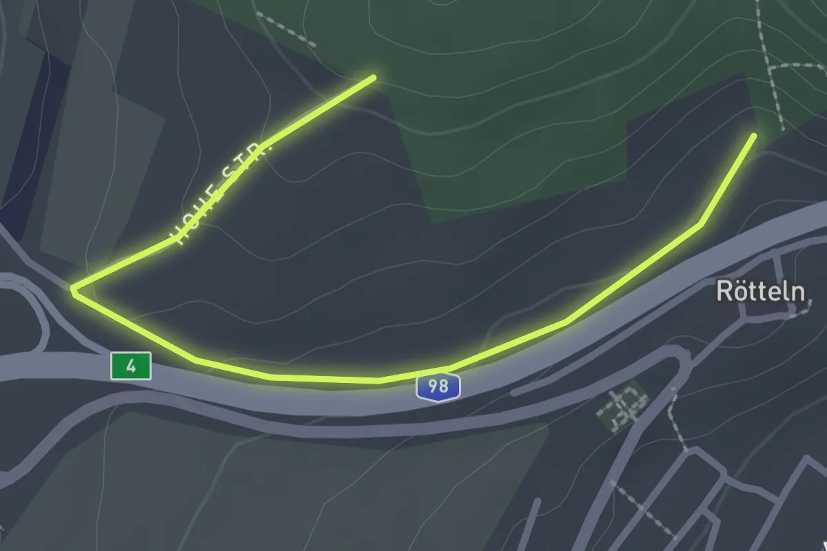
Easy · Trail
Fohrenbuck - Oberhalb Kirche Rötteln
2.9 km · ↑ 71 m · 50 min · 13 km away
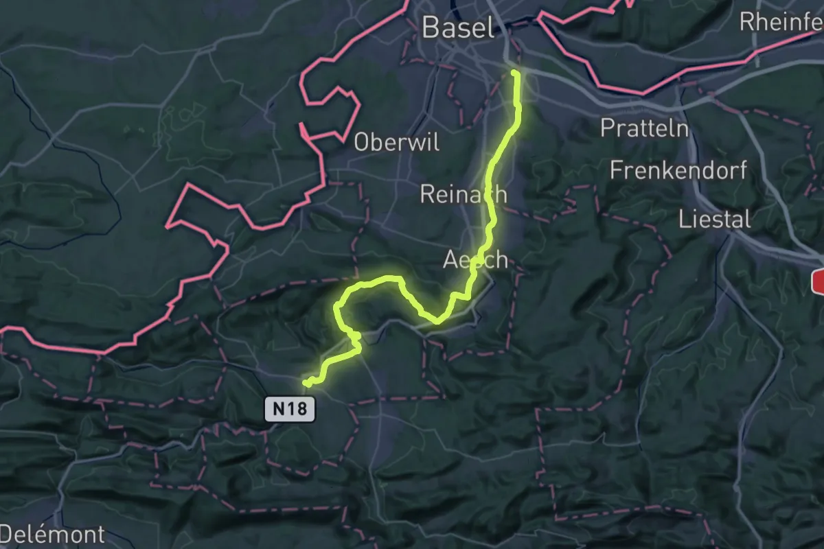
Demanding · Pilgrim path
Chemin de Compostelle, Basel -Laufen
25.1 km · ↑ 573 m · 7 h 29 min · 13 km away
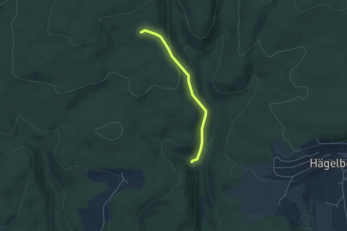
Easy · Trail
Kastanienbaum - Gendarmenwegli
3.2 km · ↑ 125 m · 1 h 2 min · 13 km away
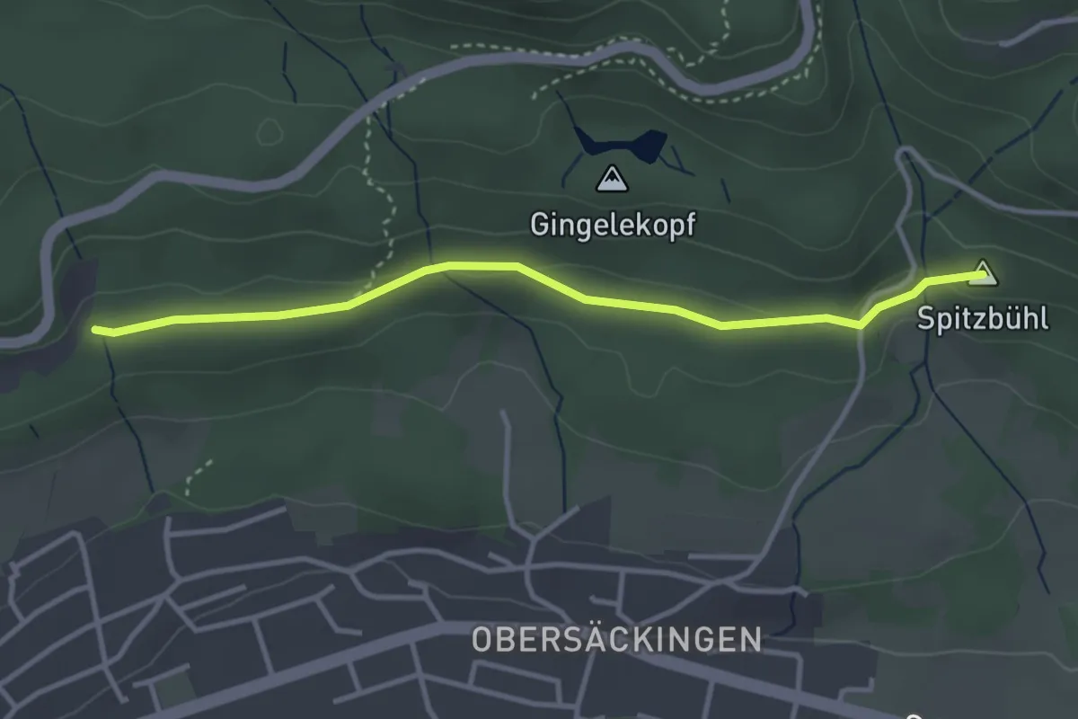
Easy · Summit
Hasenrütti – Spitzenbühl
3.4 km · ↑ 62 m · 55 min · 13 km away
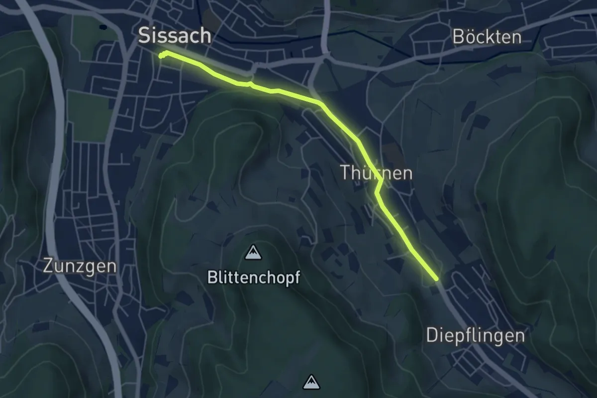
Easy · Trail
Thürnen – Sissach
4.9 km · ↑ 19 m · 1 h 12 min · 13 km away
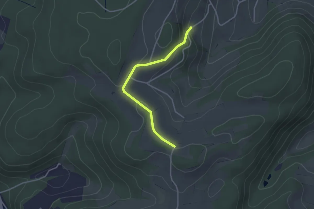
Easy · Trail
Zunzgerberg – Zunzgen
2.6 km · ↑ 69 m · 46 min · 13 km away
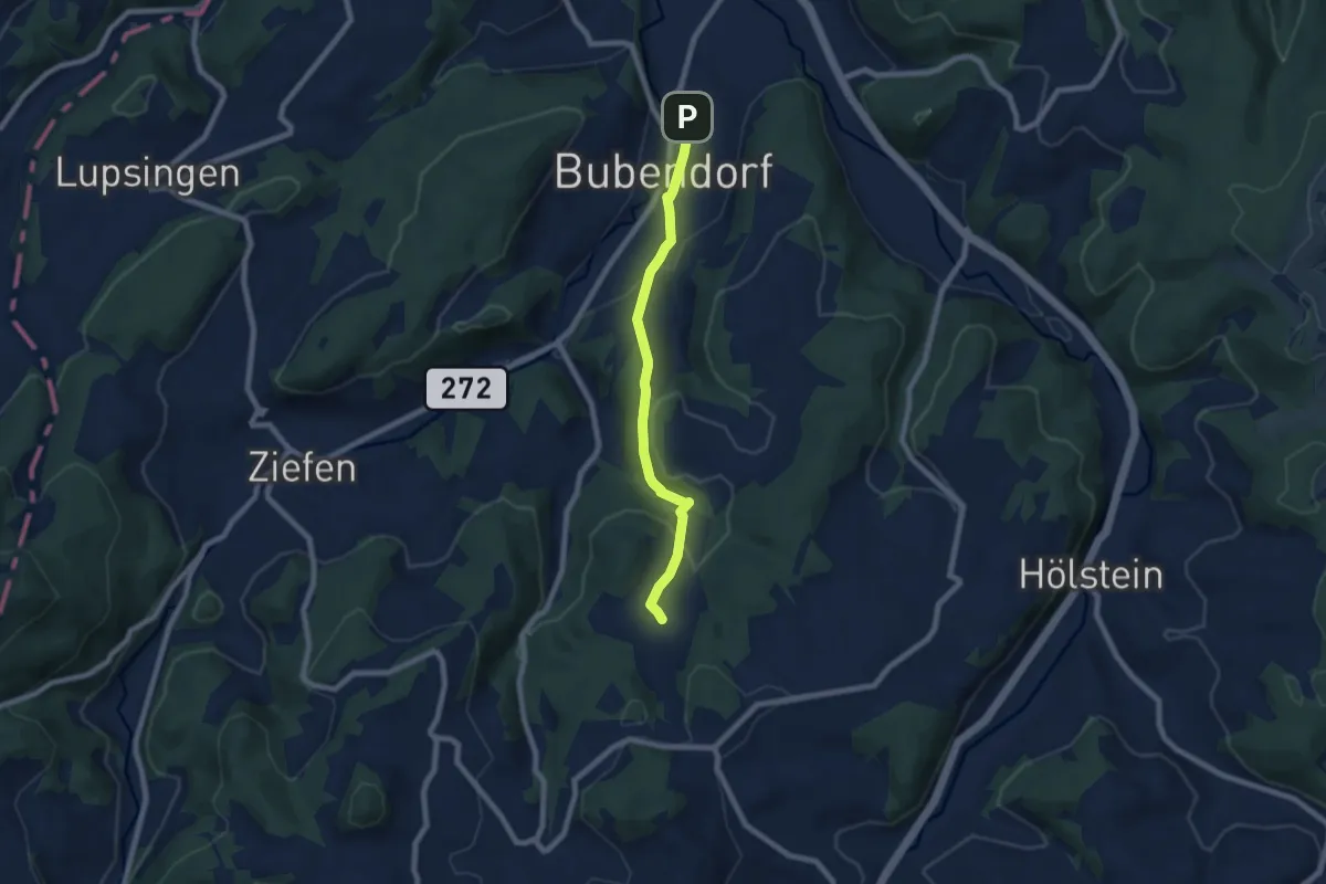
Easy · Trail
Arxhof – Bubendorf
6.8 km · ↑ 195 m · 2 h 2 min · 13 km away
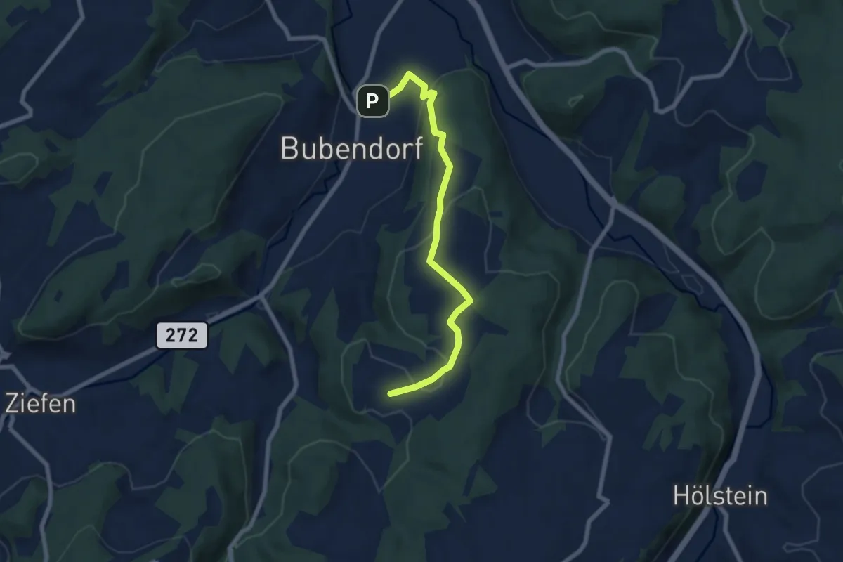
Easy · Trail
Bubendorf – Wildenstein
6.6 km · ↑ 181 m · 1 h 58 min · 13 km away
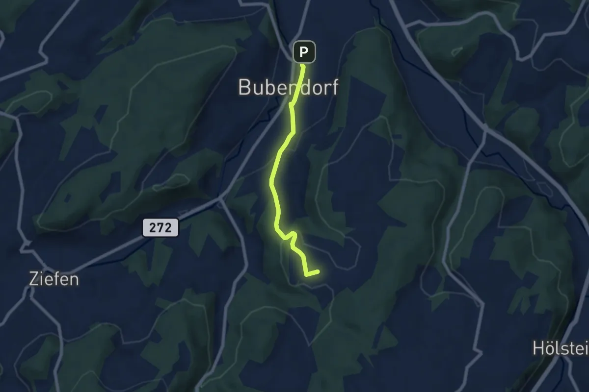
Easy · Trail
Wildenstein – Bubendorf
5.0 km · ↑ 148 m · 1 h 31 min · 13 km away
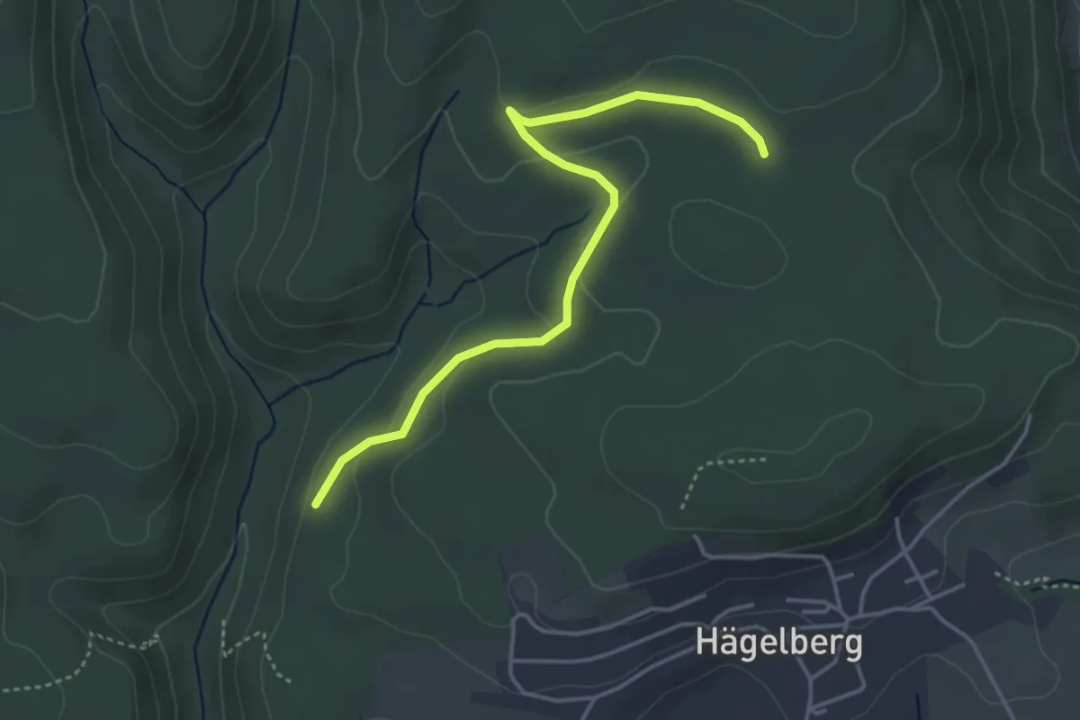
Easy · Trail
Lochhalde - Saatschulhütte
4.1 km · ↑ 78 m · 1 h 8 min · 13 km away
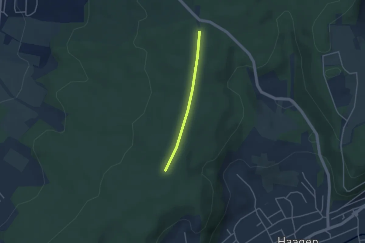
Easy · Trail
Nikolausgraben - Wittlinger Trimm-Dich-Pfad
2.2 km · ↑ 18 m · 34 min · 13 km away
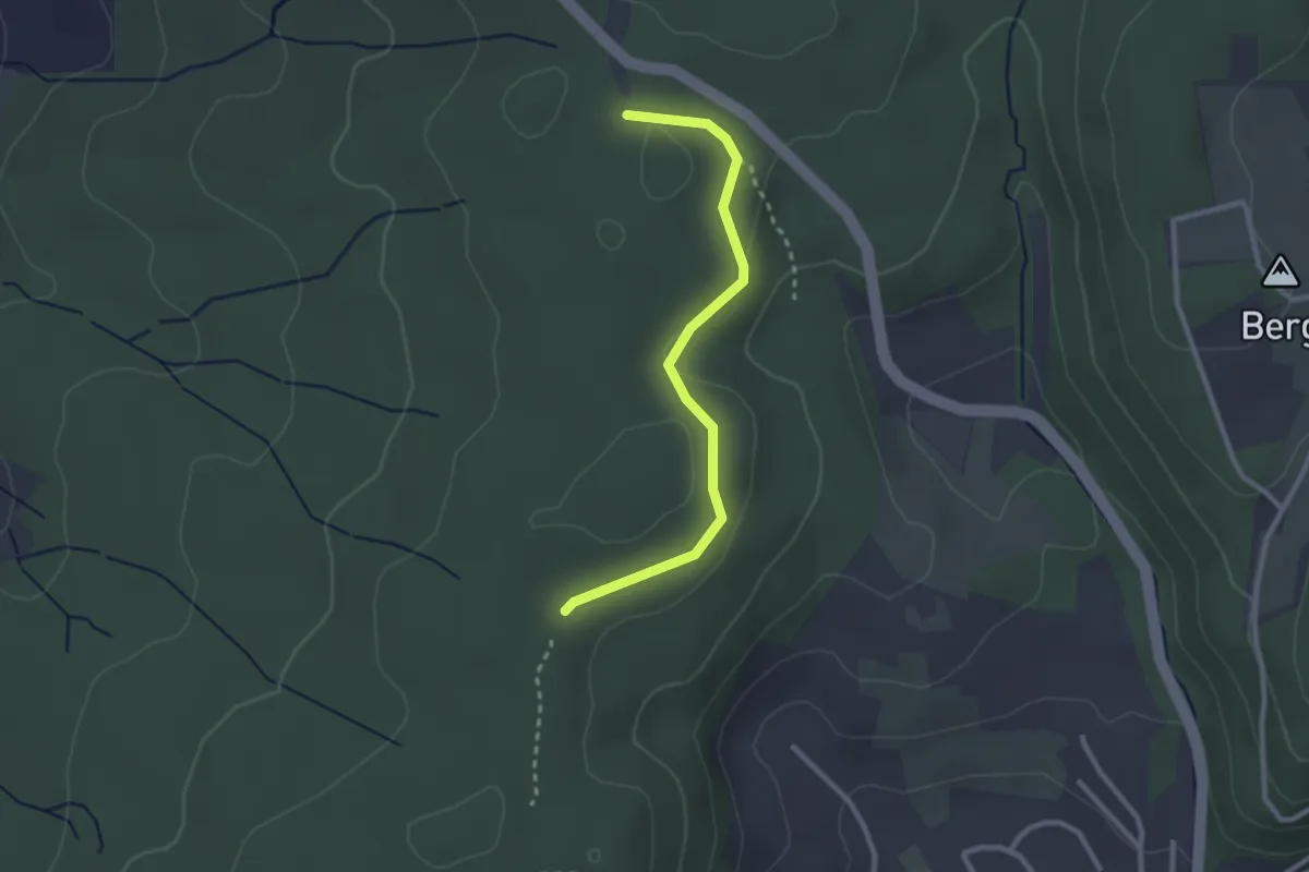
Easy · Trail
Wittlinger Trimm-Dich-Pfad - Am Trimm-Dich-Pfad
2.6 km · ↑ 34 m · 40 min · 13 km away
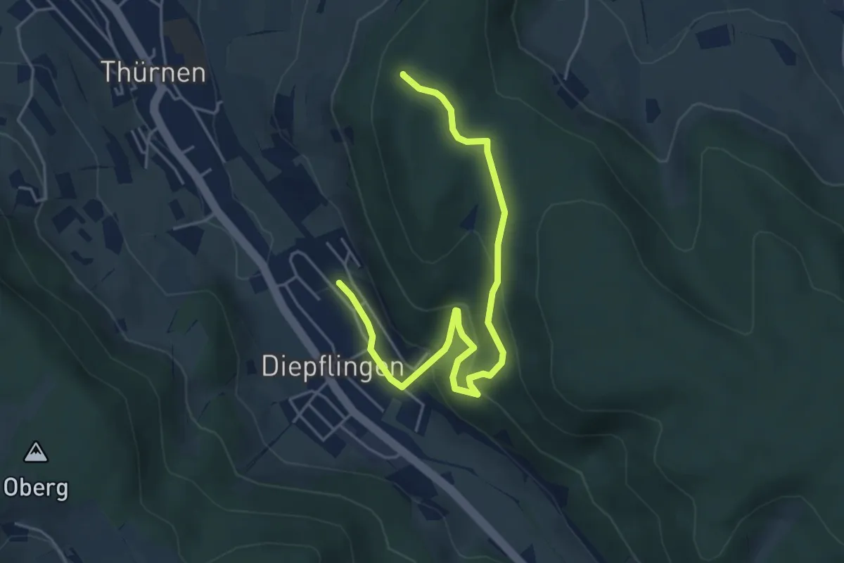
Easy · Summit
Diepflingen – Thürner Flue
5.2 km · ↑ 262 m · 1 h 48 min · 13 km away
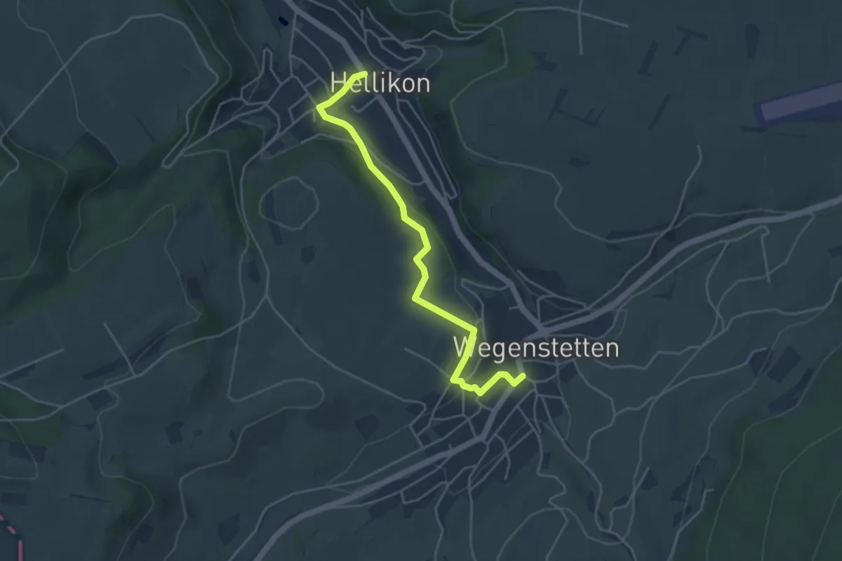
Easy · Trail
Hellikon - Wegenstetten
4.3 km · ↑ 85 m · 1 h 13 min · 13 km away
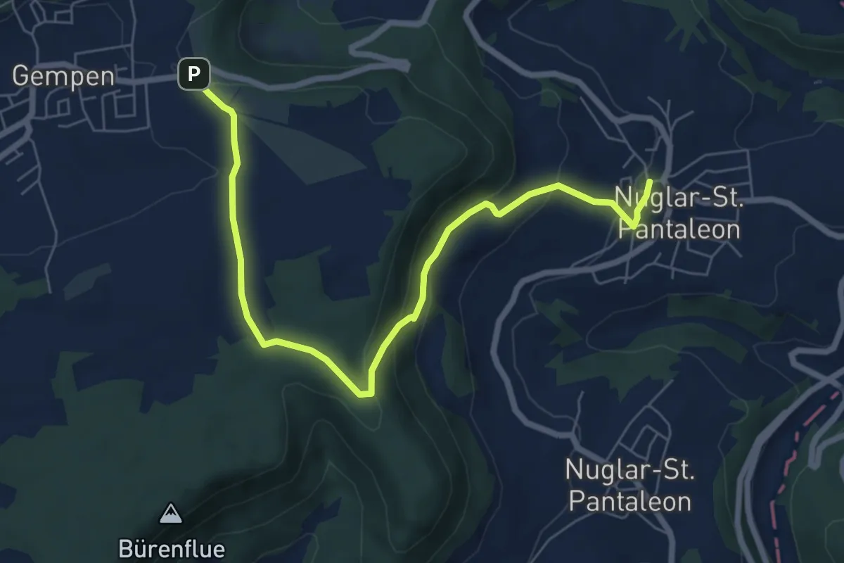
Easy · Trail
Nuglar – Haglenfeld
7.2 km · ↑ 236 m · 2 h 12 min · 13 km away
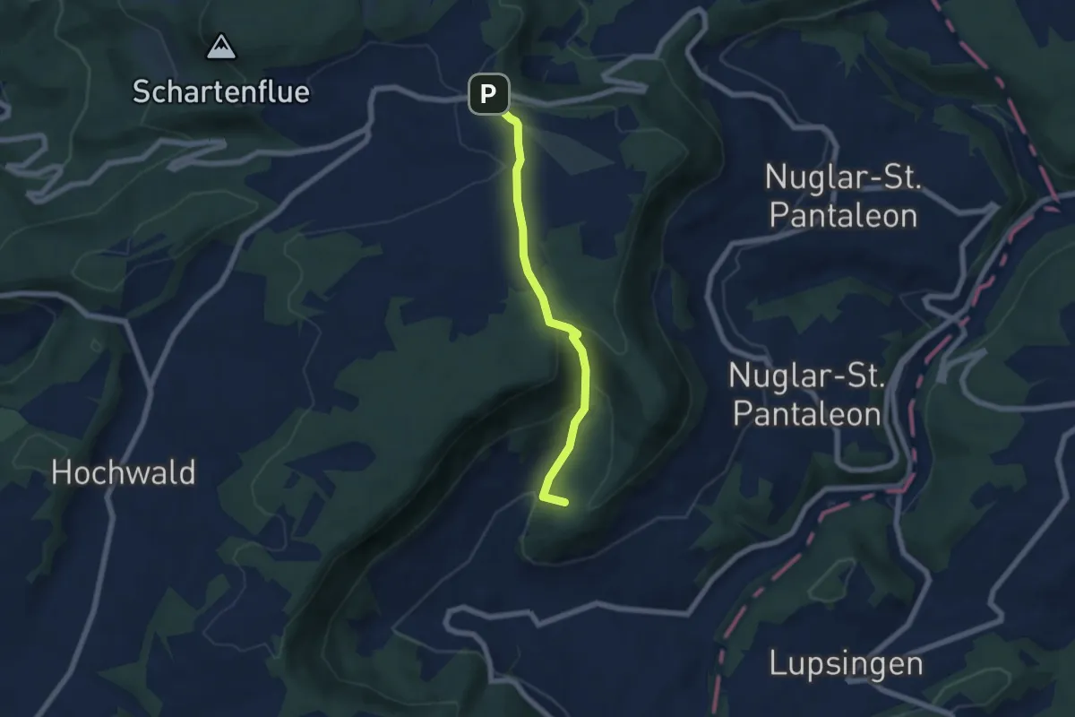
Easy · Summit
Büren – Haglenfeld
5.4 km · ↑ 251 m · 1 h 49 min · 13 km away
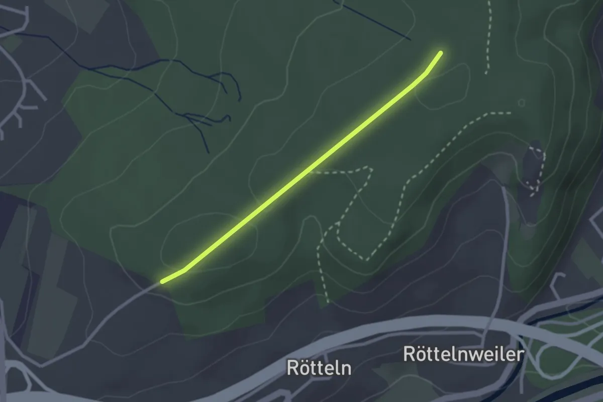
Easy · Trail
Fohrenbuck - Nikolausgraben
2.2 km · ↑ 29 m · 35 min · 13 km away
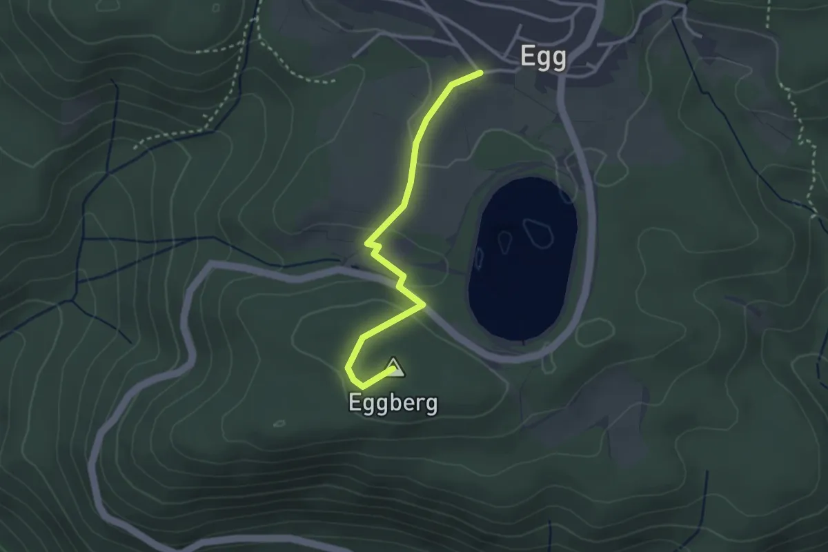
Easy · Summit
Egg - Kapelle – Am Eggberg
2.8 km · ↑ 77 m · 49 min · 13 km away
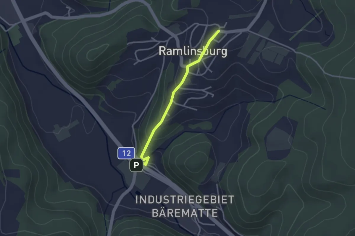
Easy · Trail
Lampenberg – Ramlinsburg
2.4 km · ↑ 113 m · 49 min · 13 km away
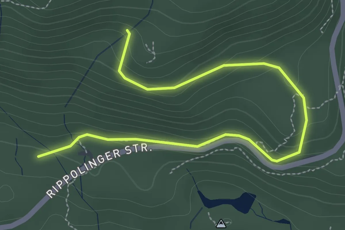
Easy · Trail
Totenbühlbrunnen – Judenmatt
3.4 km · ↑ 154 m · 1 h 8 min · 13 km away
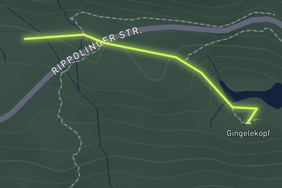
Easy · Summit
Judenmatt – Spitzenbühl
1.3 km · ↑ 27 m · 22 min · 13 km away
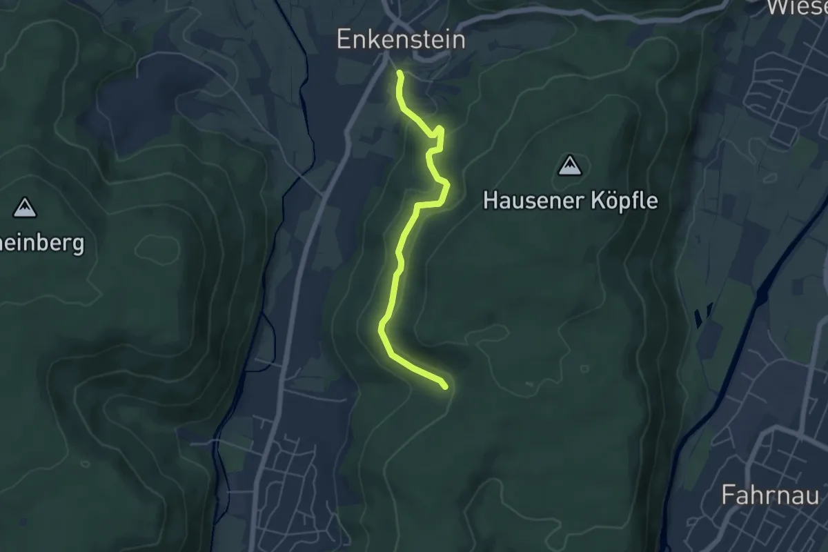
Easy · Trail
Lachsgrabenweg - Dachsgrabenbrünnli
4.6 km · ↑ 168 m · 1 h 27 min · 13 km away
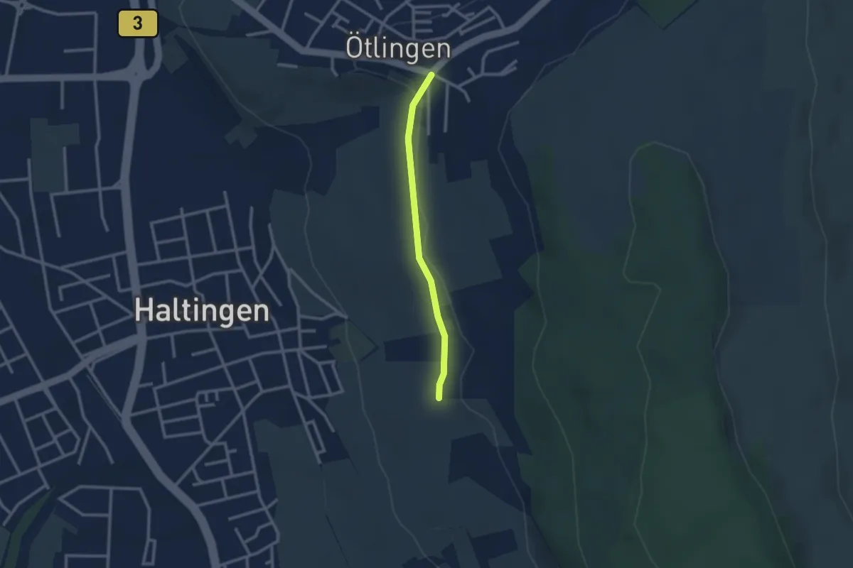
Easy · Trail
Ötlingen Oberdorf - Marktfrauenweg
2.1 km · ↑ 31 m · 34 min · 13 km away
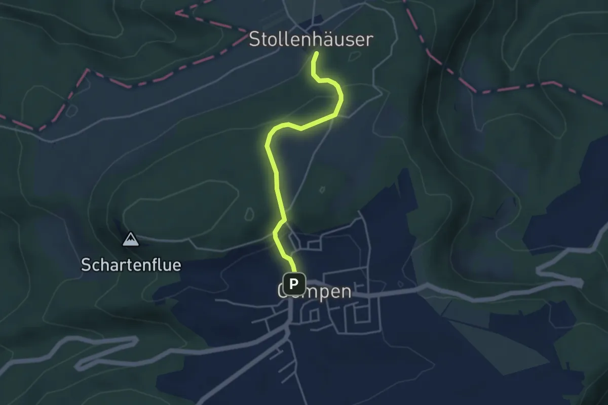
Medium · Trail
Gempen – Stollenhäuser
3.3 km · ↑ 140 m · 1 h 5 min · 13 km away