Trails near Rheinfelden (Baden)
357 hikes starting within 15 km, nearest first.
Nearest first, page 7 of 8
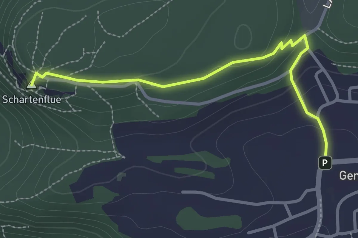
Easy · Summit
Schartenflue – Gempen
2.7 km · ↑ 91 m · 50 min · 13 km away
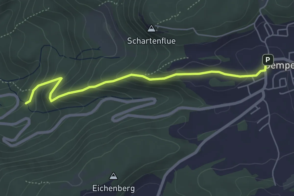
Easy · Trail
Gempen – Woll
4.5 km · ↑ 247 m · 1 h 36 min · 13 km away
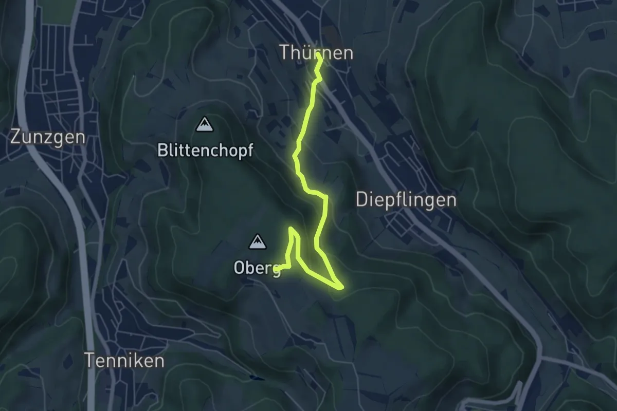
Easy · Trail
Thürnen - Gisiberg
5.7 km · ↑ 289 m · 1 h 58 min · 13 km away
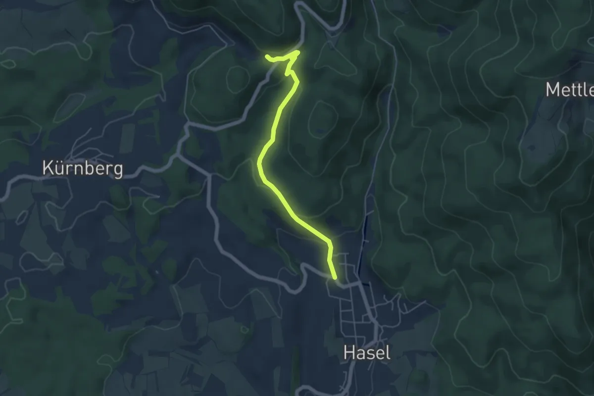
Easy · Trail
Füllsberg - Hasel Oberdorf
4.6 km · ↑ 155 m · 1 h 25 min · 13 km away
Easy · Trail
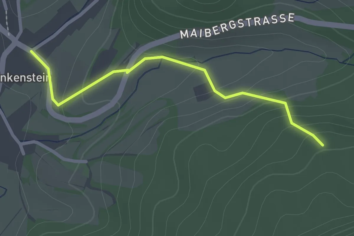
Klausenwäldeli - Enkenstein Gresger Weg
2.1 km · ↑ 98 m · 43 min · 14 km away
Easy · Trail
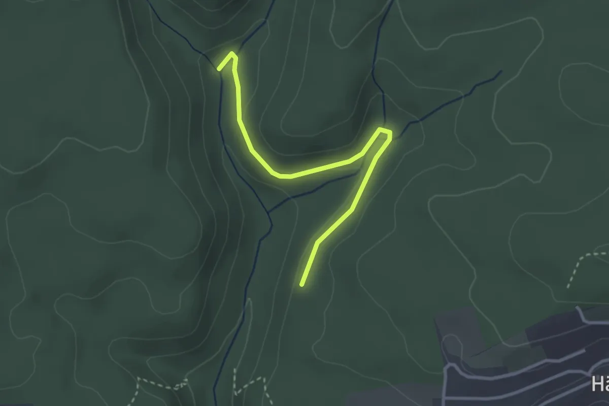
Siegenbachmündung - Lochhalde
2.9 km · ↑ 54 m · 48 min · 14 km away
Easy · Trail
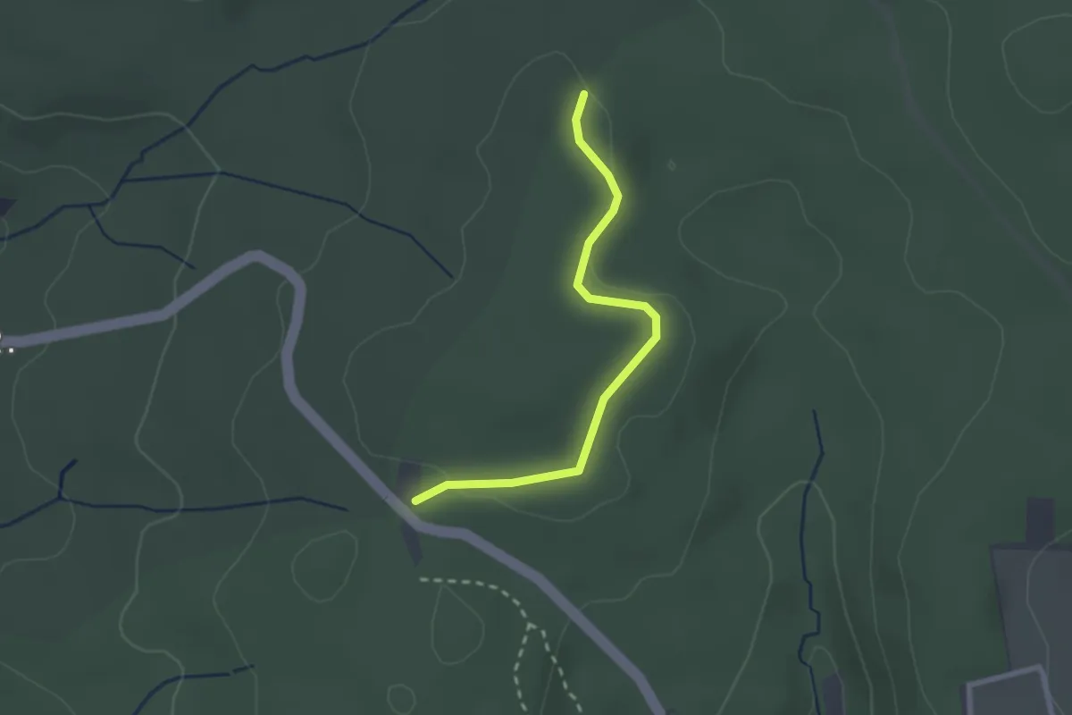
Wolfsloch - Wittlinger Höhe
2.3 km · ↑ 14 m · 34 min · 14 km away
Easy · Trail
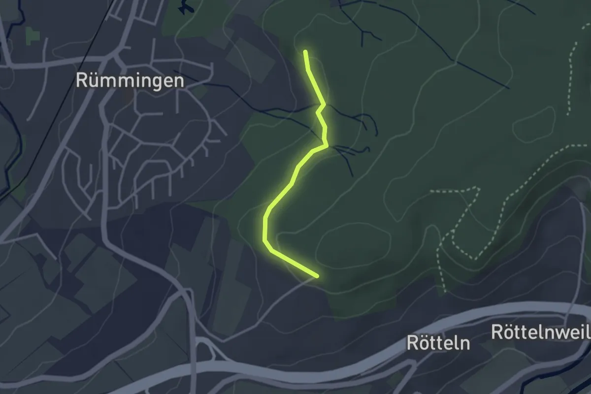
Rüttematt - Fohrenbuck
2.3 km · ↑ 59 m · 40 min · 14 km away
Easy · Trail
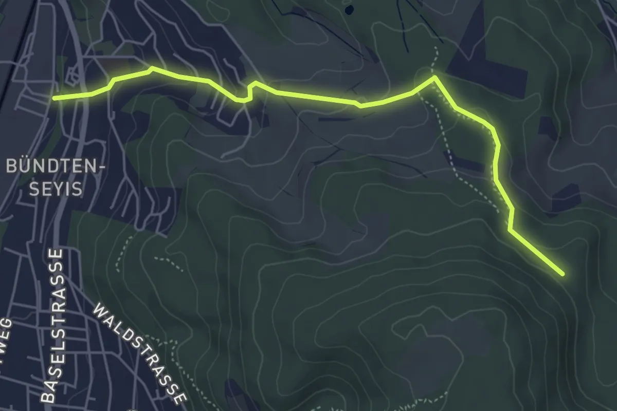
Münchenstein – Winterhalle
5.3 km · ↑ 217 m · 1 h 43 min · 14 km away
Easy · Trail
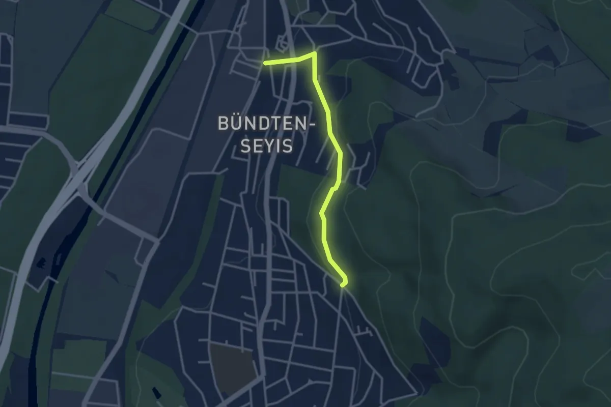
Münchenstein – Spitalholz?
2.6 km · ↑ 118 m · 53 min · 14 km away
Easy · Trail
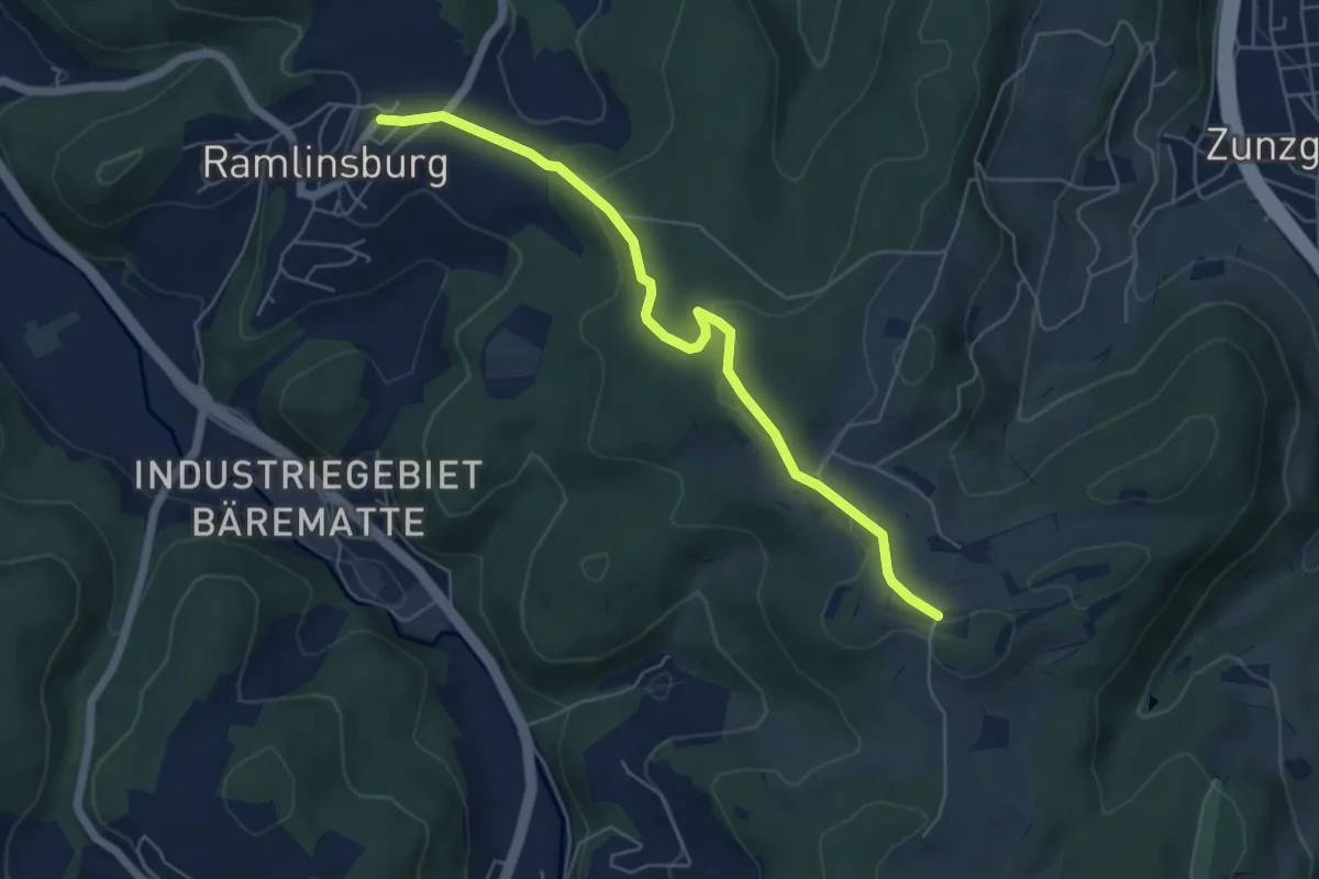
Zungerberg – Ramlinsburg
5.6 km · ↑ 105 m · 1 h 33 min · 14 km away
Easy · Trail
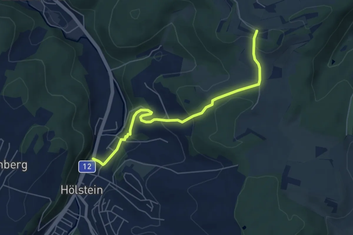
Liestal-Hölstein
5.2 km · ↑ 229 m · 1 h 44 min · 14 km away
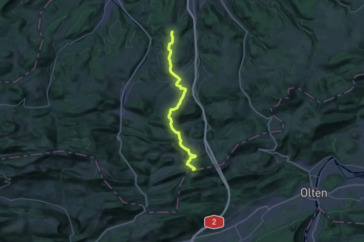
Demanding · Summit
Jurahöhenweg Liestal-Belchenflue
22.9 km · ↑ 1106 m · 7 h 49 min · 14 km away
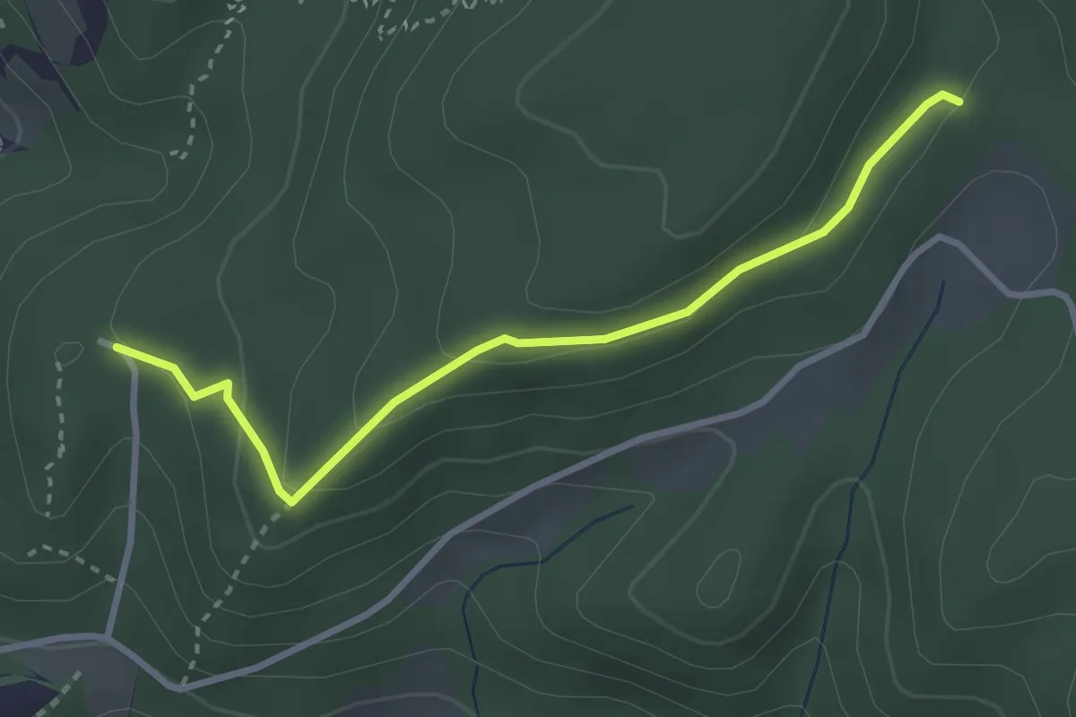
Easy · Trail
Burg Reichenstein - Gstüd Ränggersmatt
3.0 km · ↑ 107 m · 57 min · 14 km away
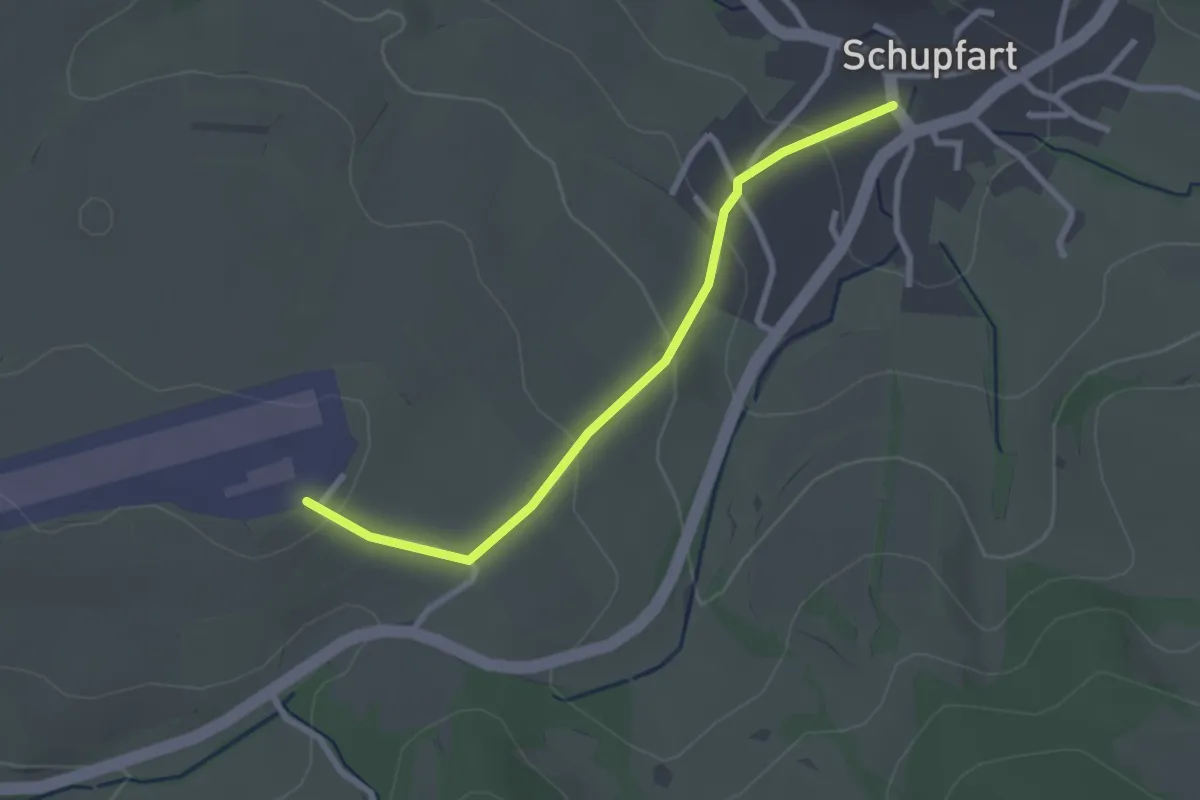
Easy · Trail
Flugplatz Schupfart – Schupfart
2.5 km · ↑ 92 m · 48 min · 14 km away
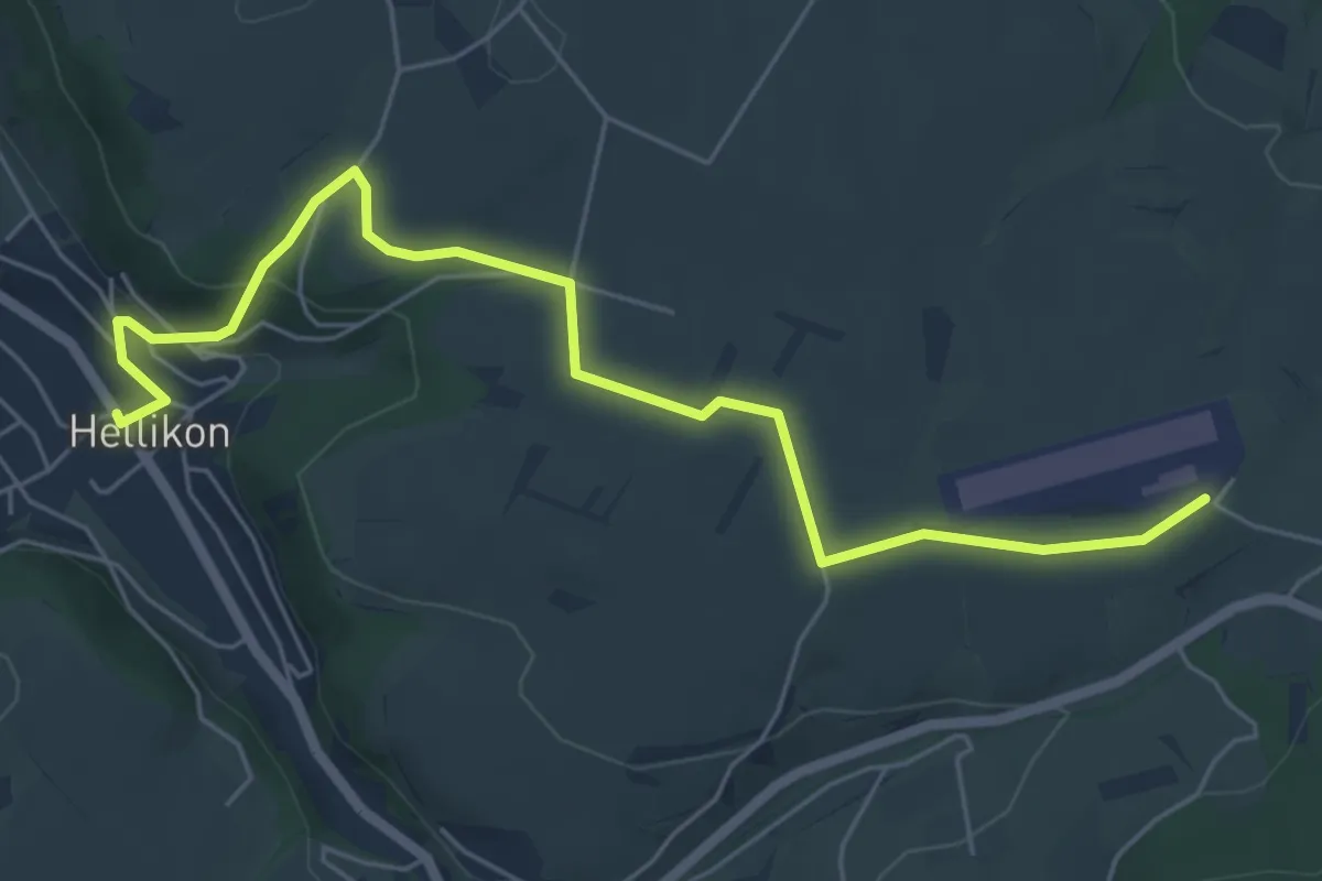
Easy · Trail
Flugplatz Schupfart – Hellikon
6.5 km · ↑ 144 m · 1 h 51 min · 14 km away
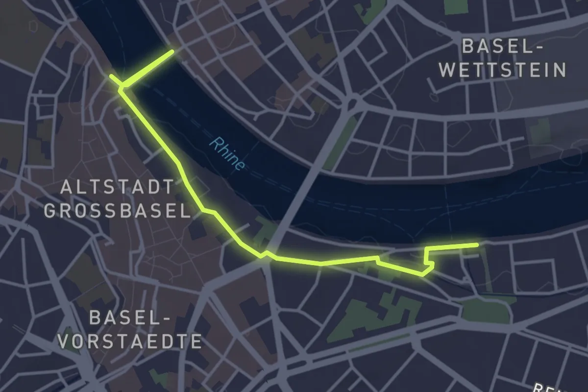
Easy · Trail
Schifflände-St. Alban
4.0 km · ↑ 55 m · 1 h 4 min · 14 km away
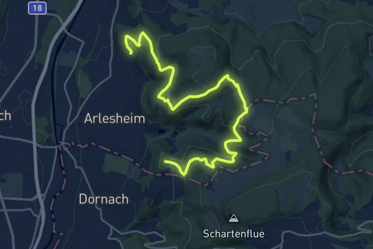
Medium · Summit
Elsa - Heierli - Weg
15.5 km · ↑ 712 m · 5 h 12 min · 14 km away
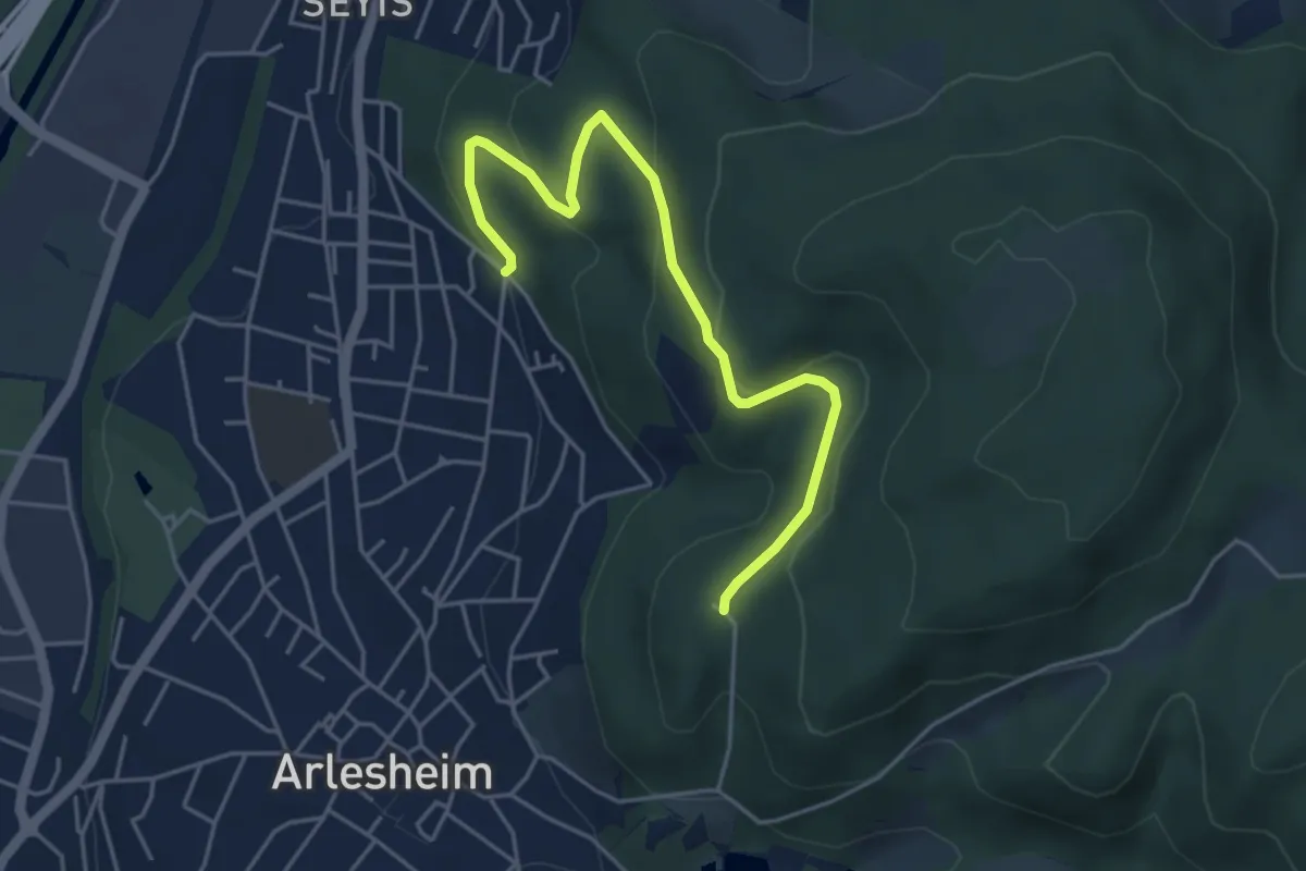
Easy · Trail
Burg Reichenstein - Spitalholz - fixme
4.8 km · ↑ 165 m · 1 h 29 min · 14 km away
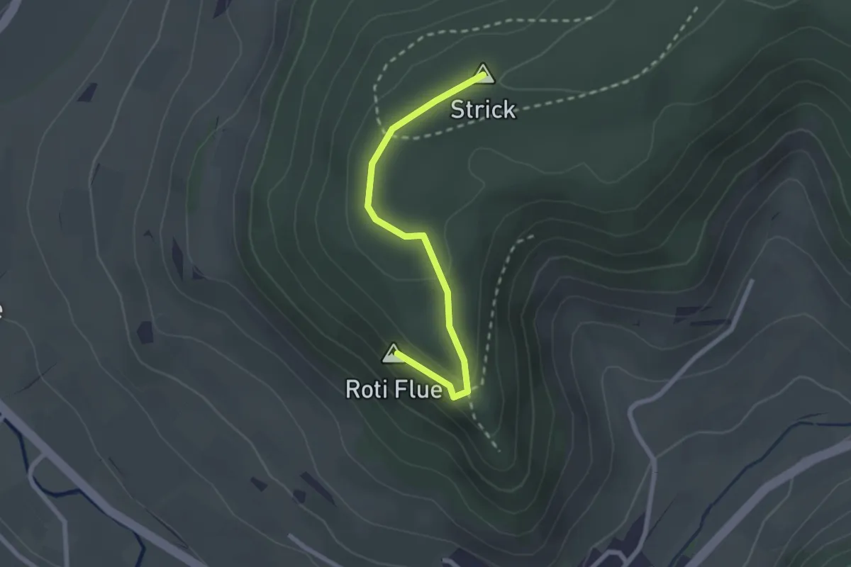
Easy · Summit
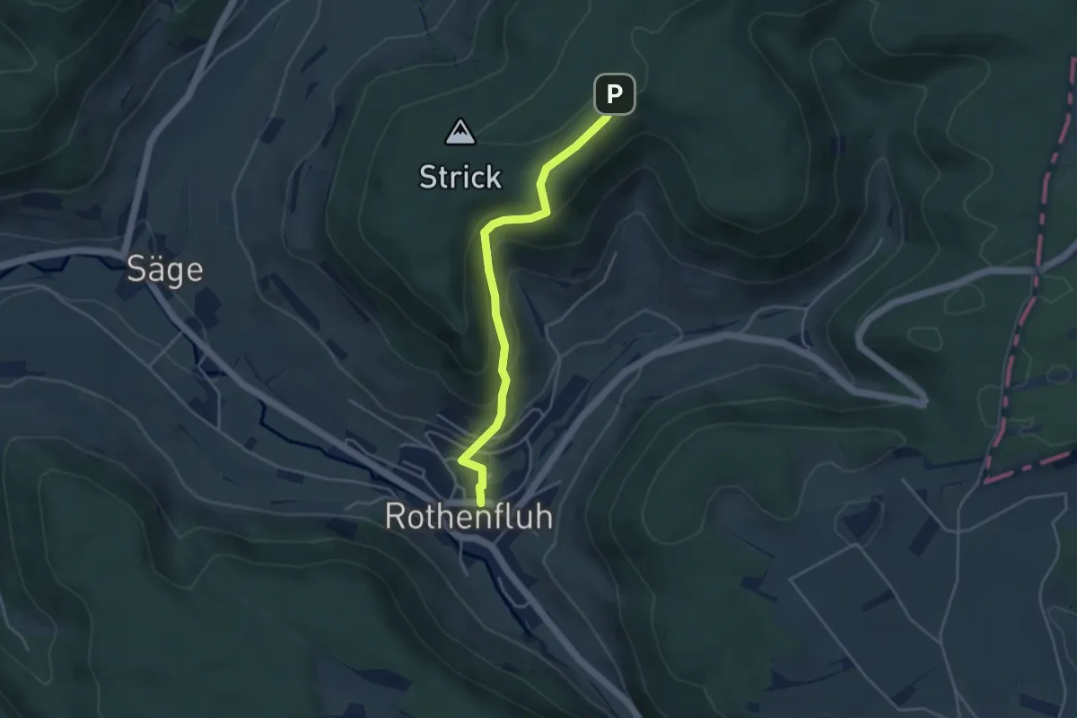
Rothenfluer Flue – Waldhaus
2.2 km · ↑ 61 m · 39 min · 14 km away
Easy · Trail
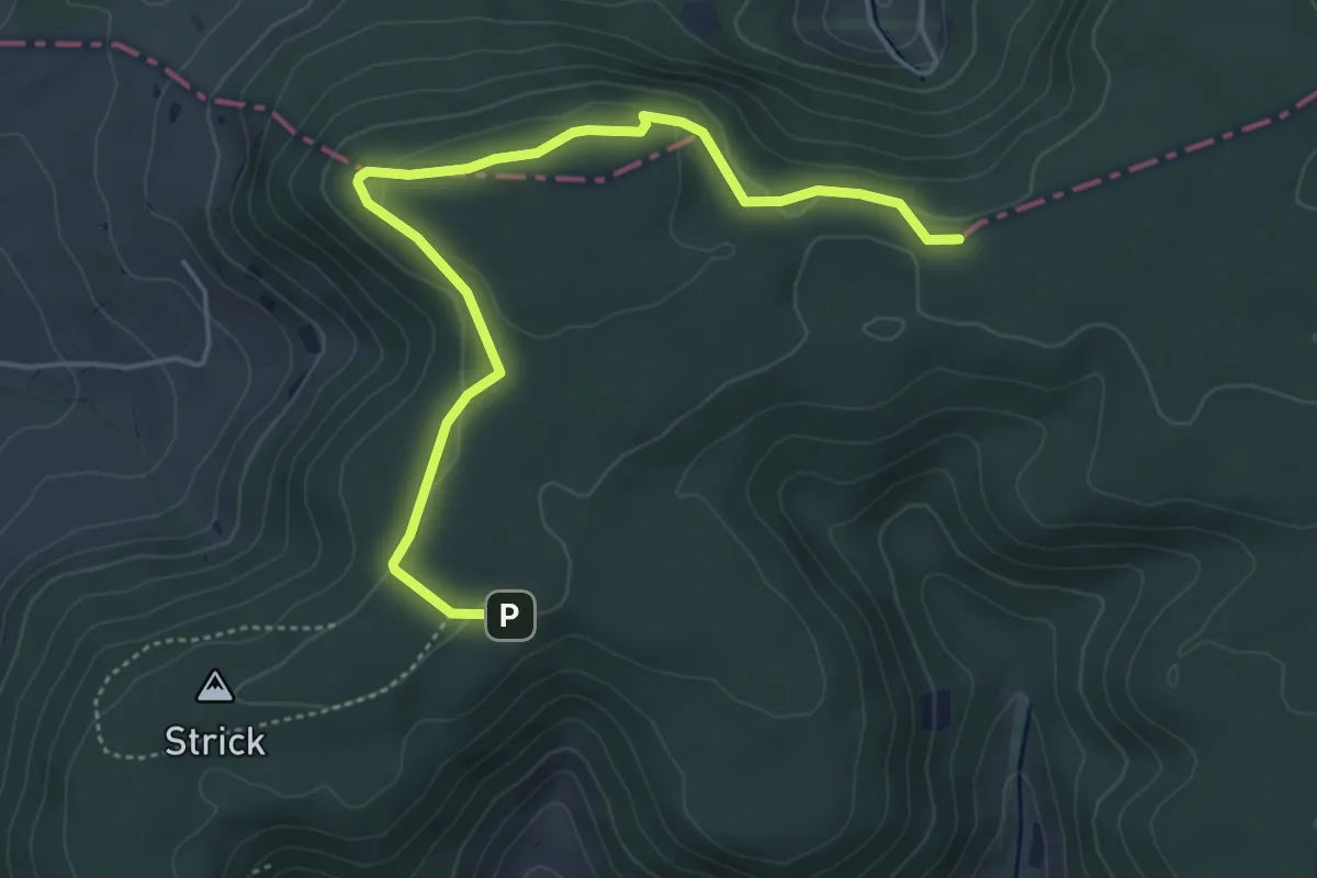
Rothenfluh – Waldhaus
3.9 km · ↑ 226 m · 1 h 24 min · 14 km away
Easy · Trail
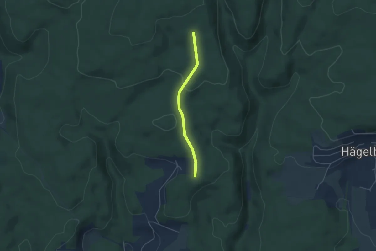
Waldhaus – Kei
5.0 km · ↑ 115 m · 1 h 26 min · 14 km away
Easy · Trail
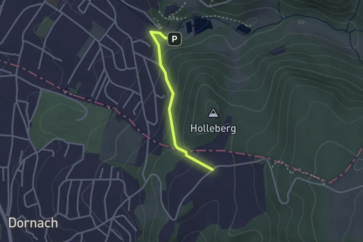
Kastanienbaum - Rechberg
3.3 km · ↑ 61 m · 55 min · 14 km away
Easy · Trail
Schlosshof – Ermitage
2.3 km · ↑ 150 m · 51 min · 14 km away
Easy · Trail
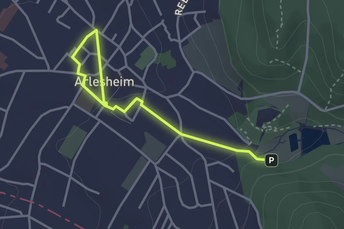
Ermitage – Arlesheim Tram
2.9 km · ↑ 54 m · 48 min · 14 km away
Medium · Trail
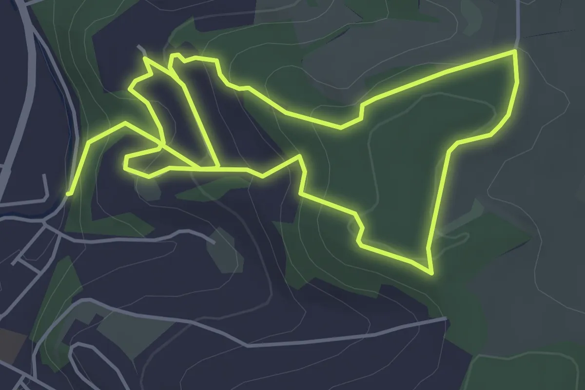
Themen_Weg Leuenberg
8.4 km · ↑ 374 m · 2 h 47 min · 14 km away
Easy · Trail
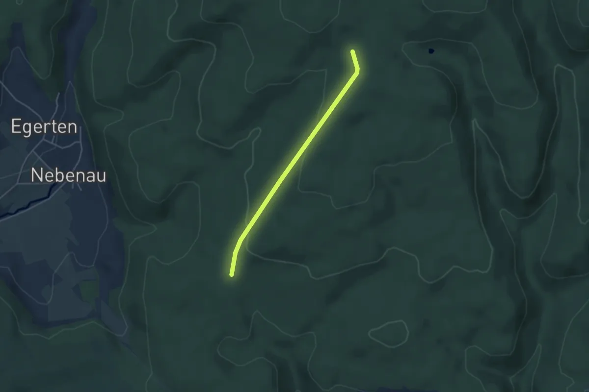
Hexenbrünnli - Siegenbachhüsli
3.5 km · ↑ 90 m · 1 h 1 min · 14 km away
Medium · Summit
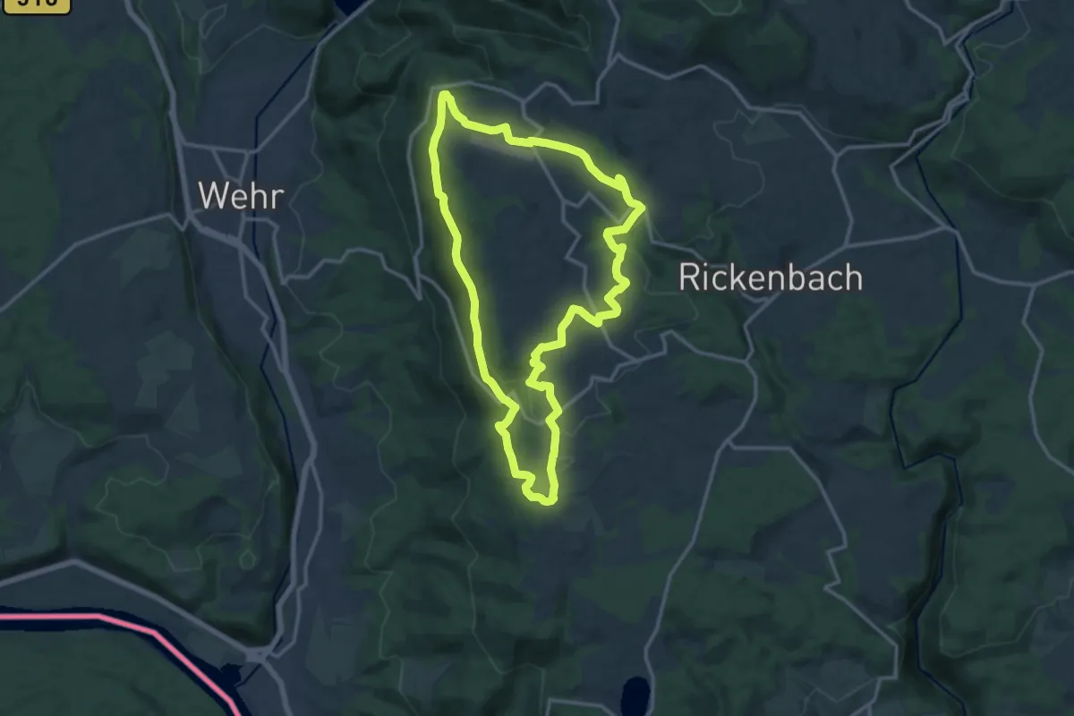
Hotzenpfad
12.8 km · ↑ 347 m · 3 h 57 min · 14 km away
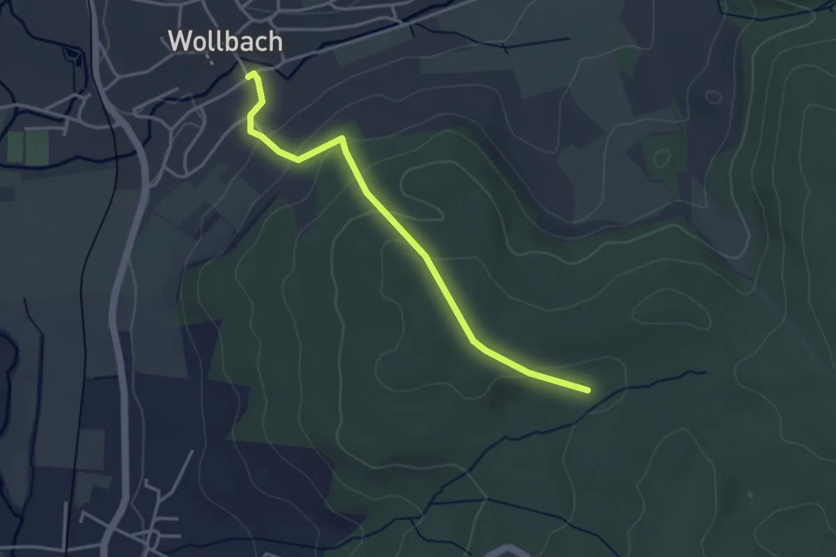
Easy · Trail
Wollbach Kronenplatz - Eselplatz
3.2 km · ↑ 146 m · 1 h 5 min · 14 km away
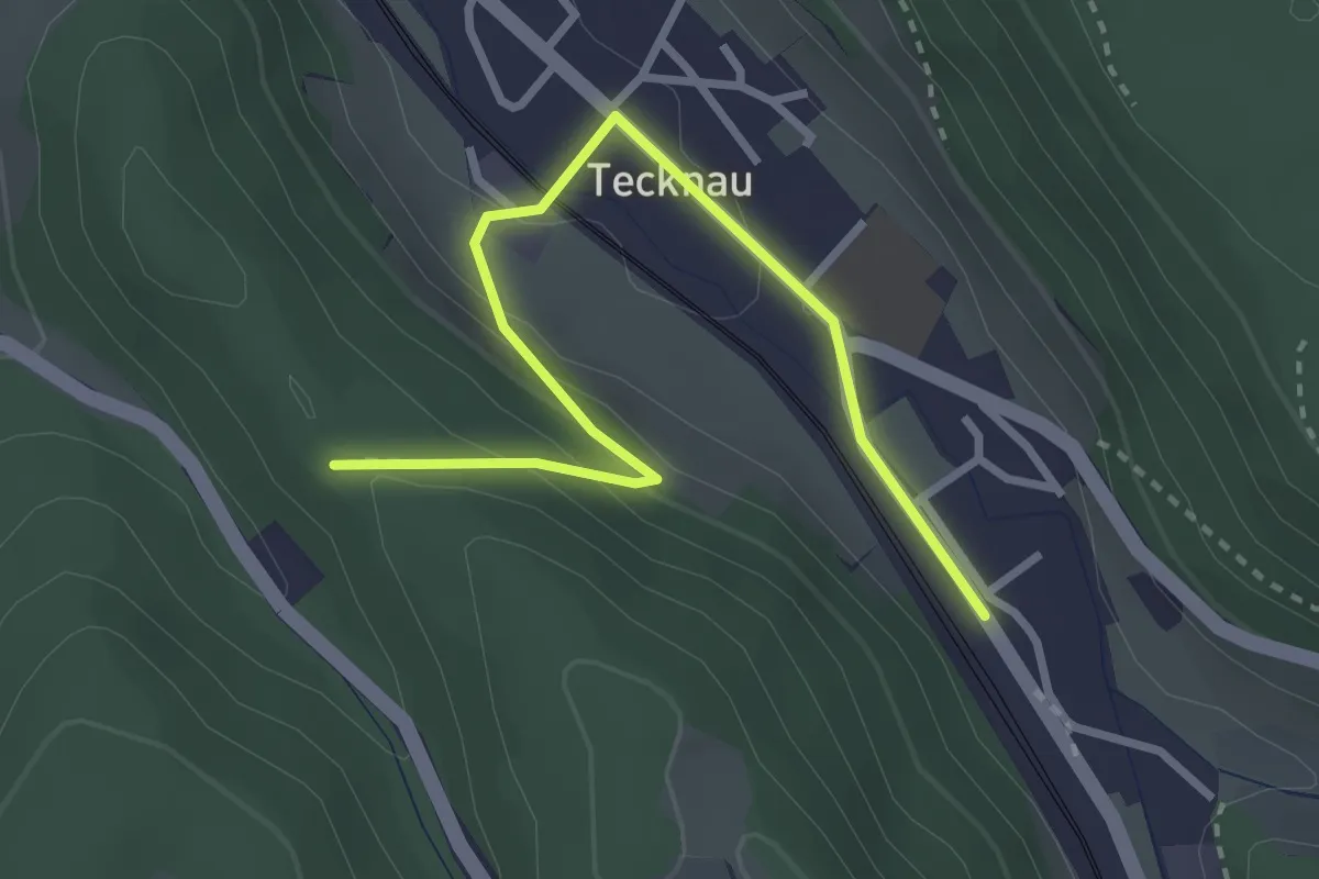
Easy · Trail
Tecknau - Ruine Schneidegg
3.2 km · ↑ 123 m · 1 h 1 min · 14 km away
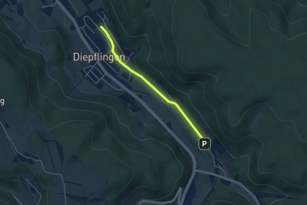
Easy · Trail
Sommerau – Diepflingen
3.1 km · ↑ 37 m · 49 min · 14 km away
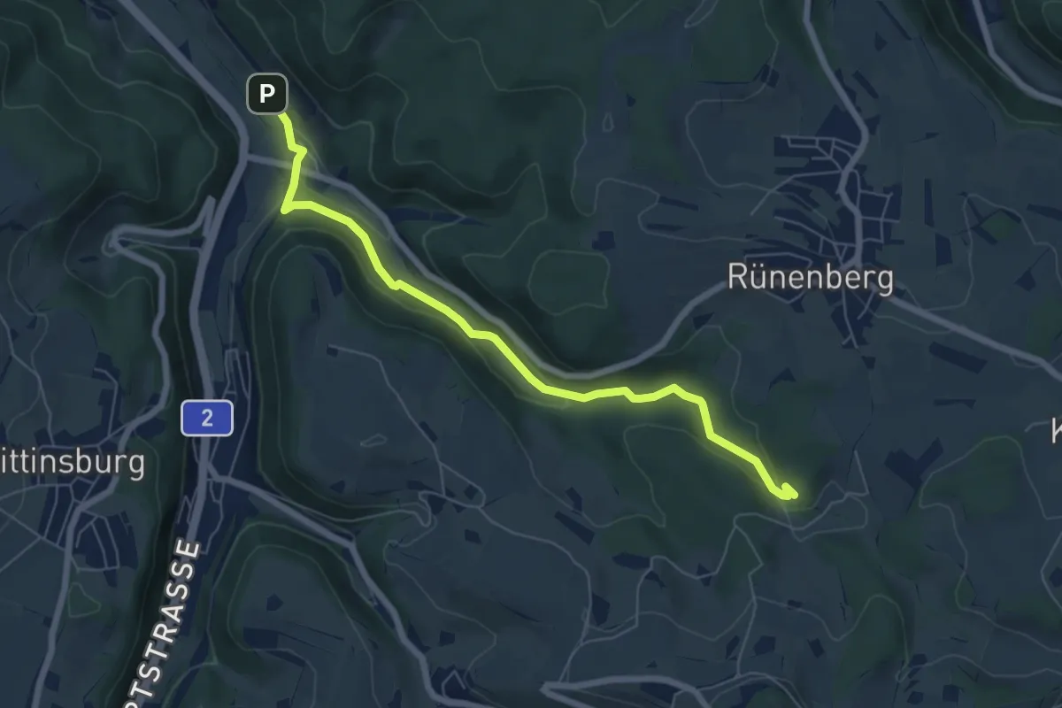
Easy · Trail
Giessen – Sommerau
6.6 km · ↑ 158 m · 1 h 54 min · 14 km away
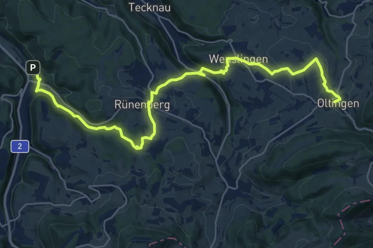
Demanding · Trail
Baselbieter Chirsiweg
20.9 km · ↑ 521 m · 6 h 3 min · 14 km away
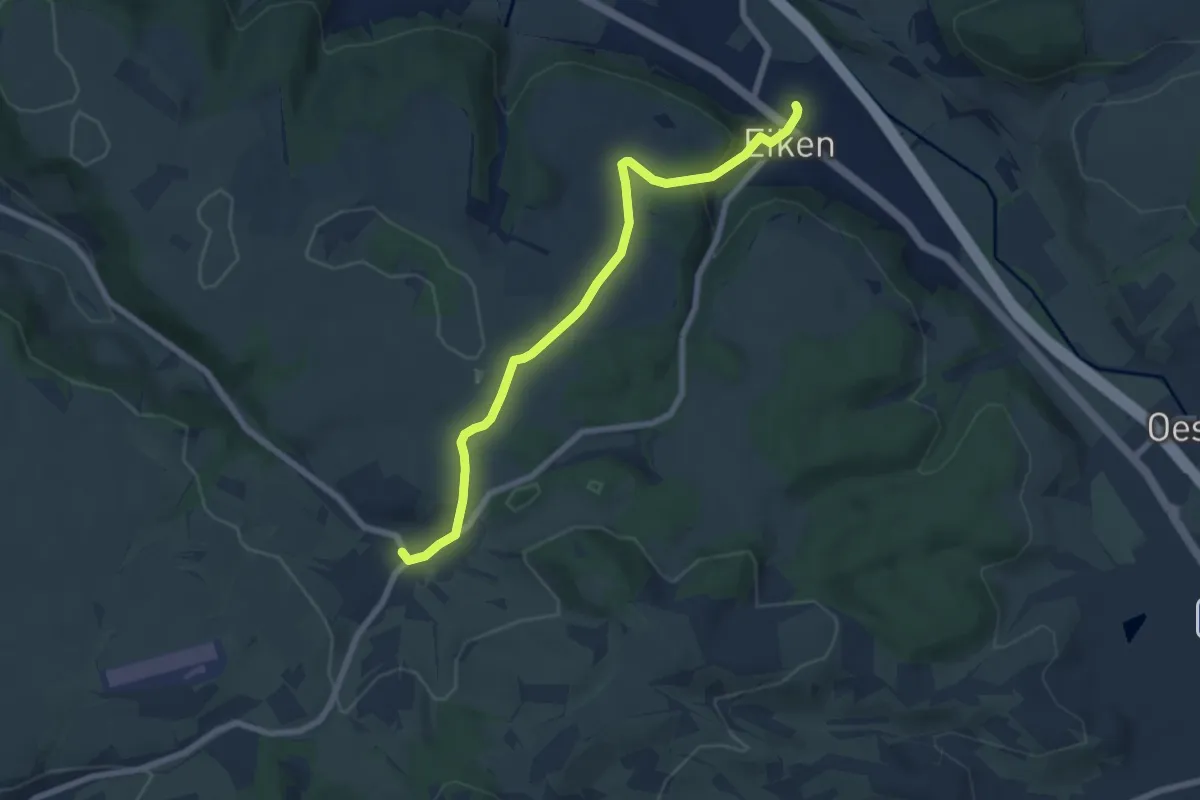
Easy · Trail
Eiken - Schupfart
6.9 km · ↑ 203 m · 2 h 4 min · 14 km away
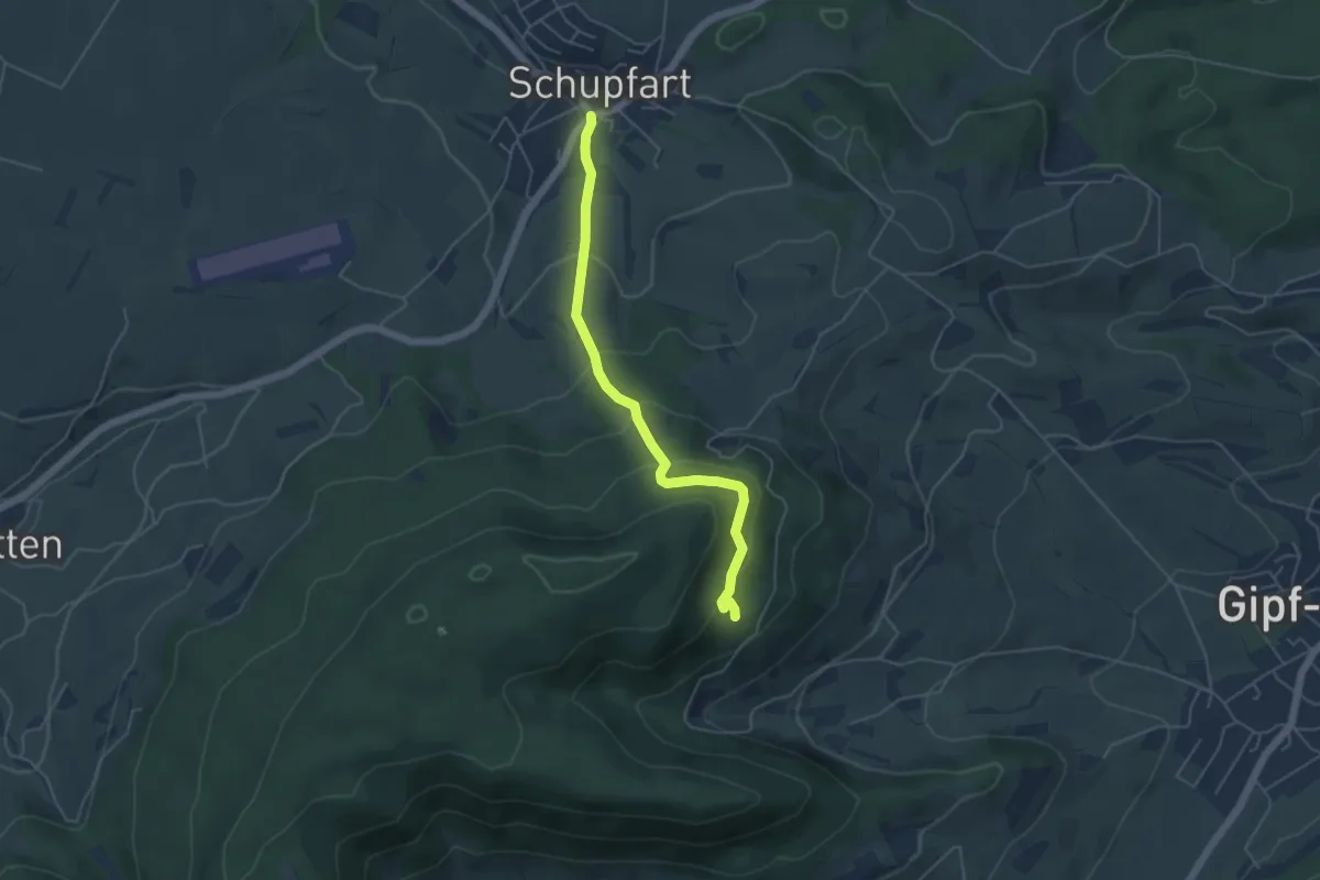
Easy · Trail
Ruine Tierstein - Schupfart Postauto
4.6 km · ↑ 291 m · 1 h 43 min · 14 km away
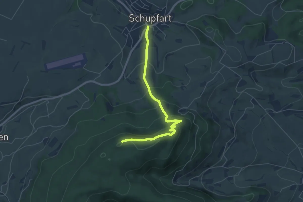
Easy · Summit
Tiersteinberg – Schupfart Postauto
5.6 km · ↑ 291 m · 1 h 58 min · 14 km away
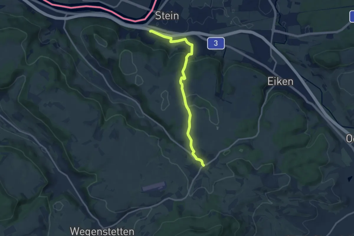
Medium · Trail
Schupfart - Stein
8.9 km · ↑ 272 m · 2 h 41 min · 14 km away
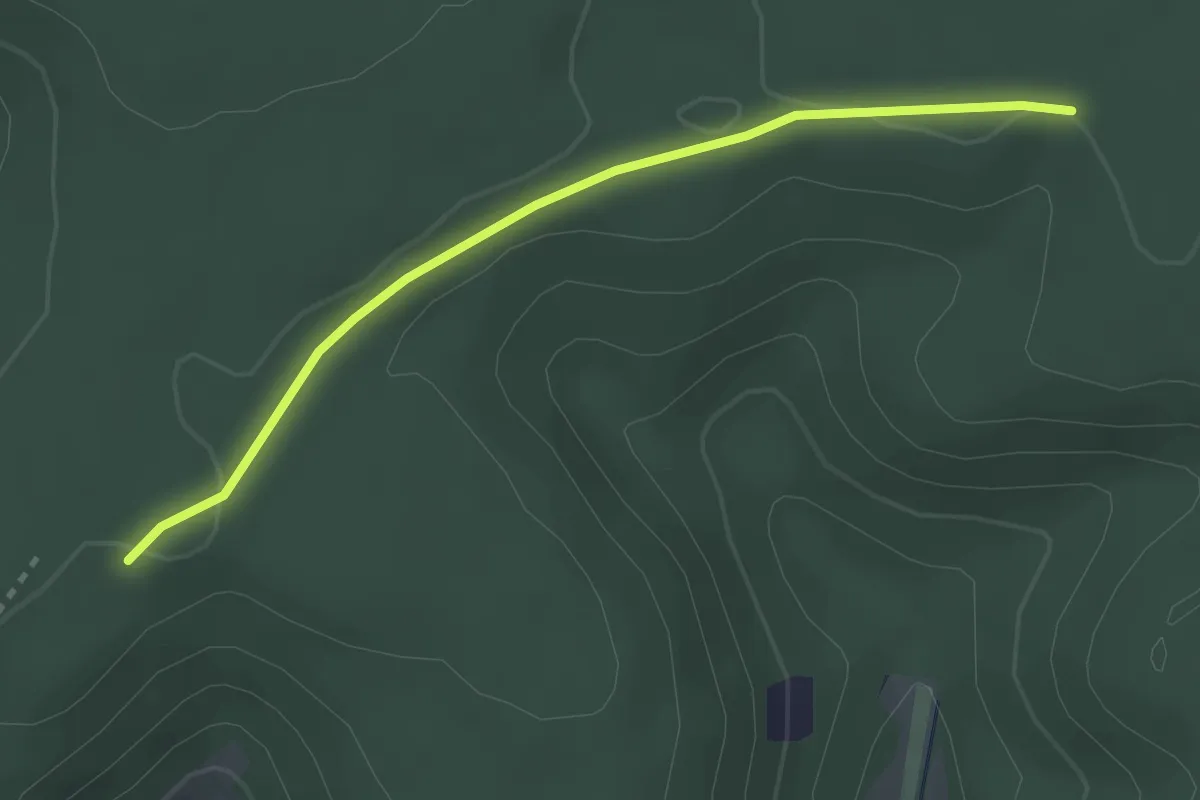
Easy · Trail
Waldhaus – Rottannen
2.8 km · ↑ 12 m · 41 min · 14 km away
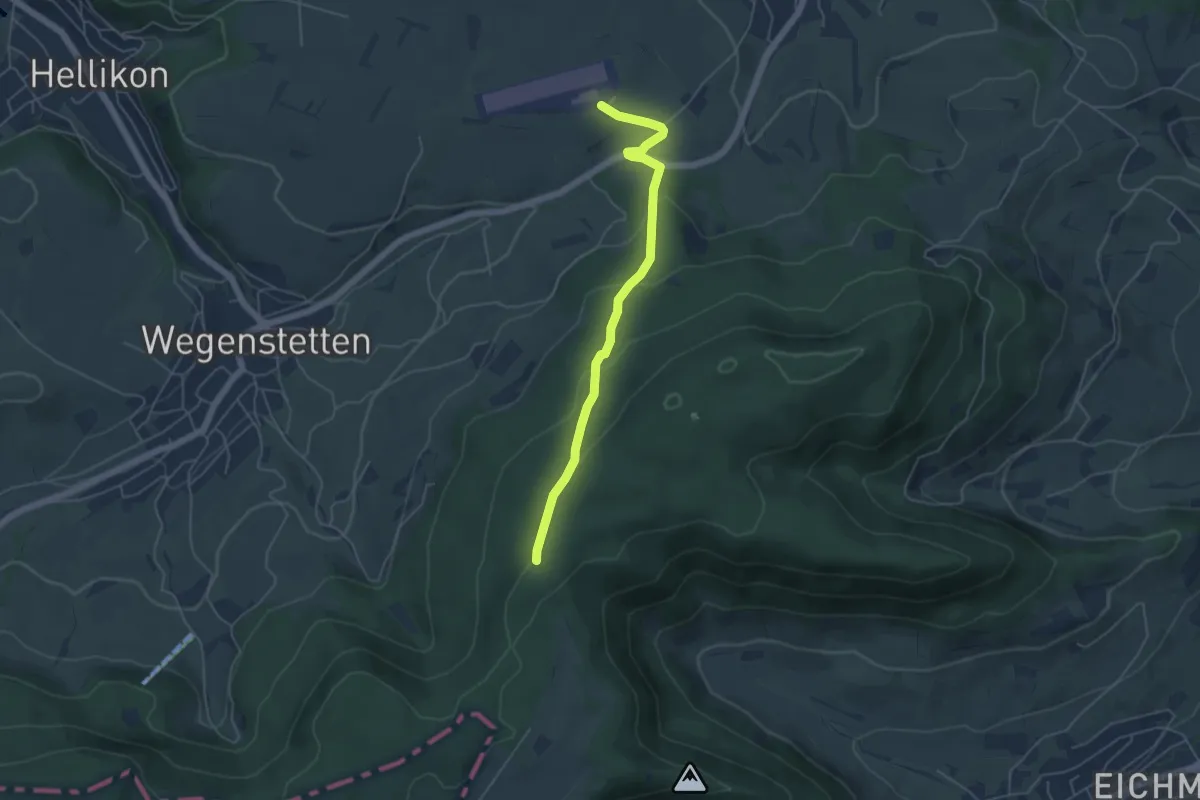
Easy · Trail
Fazedelle – Schupfart Flugplatz
4.8 km · ↑ 194 m · 1 h 34 min · 14 km away
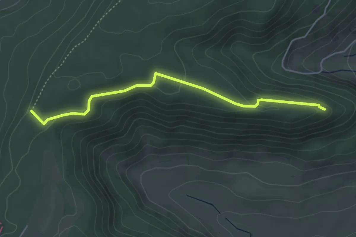
Easy · Trail
Fazedelle – Ruine Alt Homberg
4.1 km · ↑ 98 m · 1 h 11 min · 14 km away
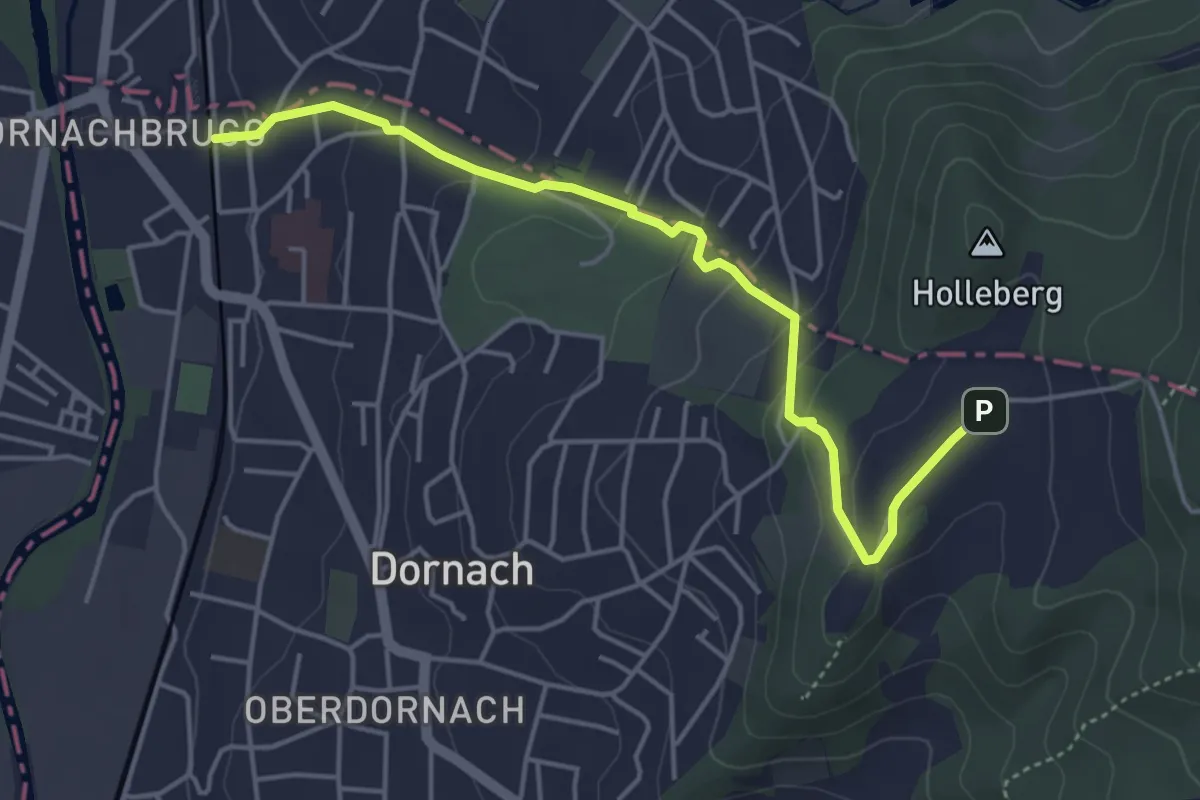
Easy · Trail
Dornach Bahnhof - Schlosshof
4.6 km · ↑ 194 m · 1 h 31 min · 14 km away
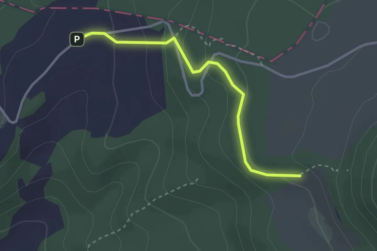
Easy · Trail
Schlosshof - Schartenmatt
2.4 km · ↑ 133 m · 52 min · 14 km away
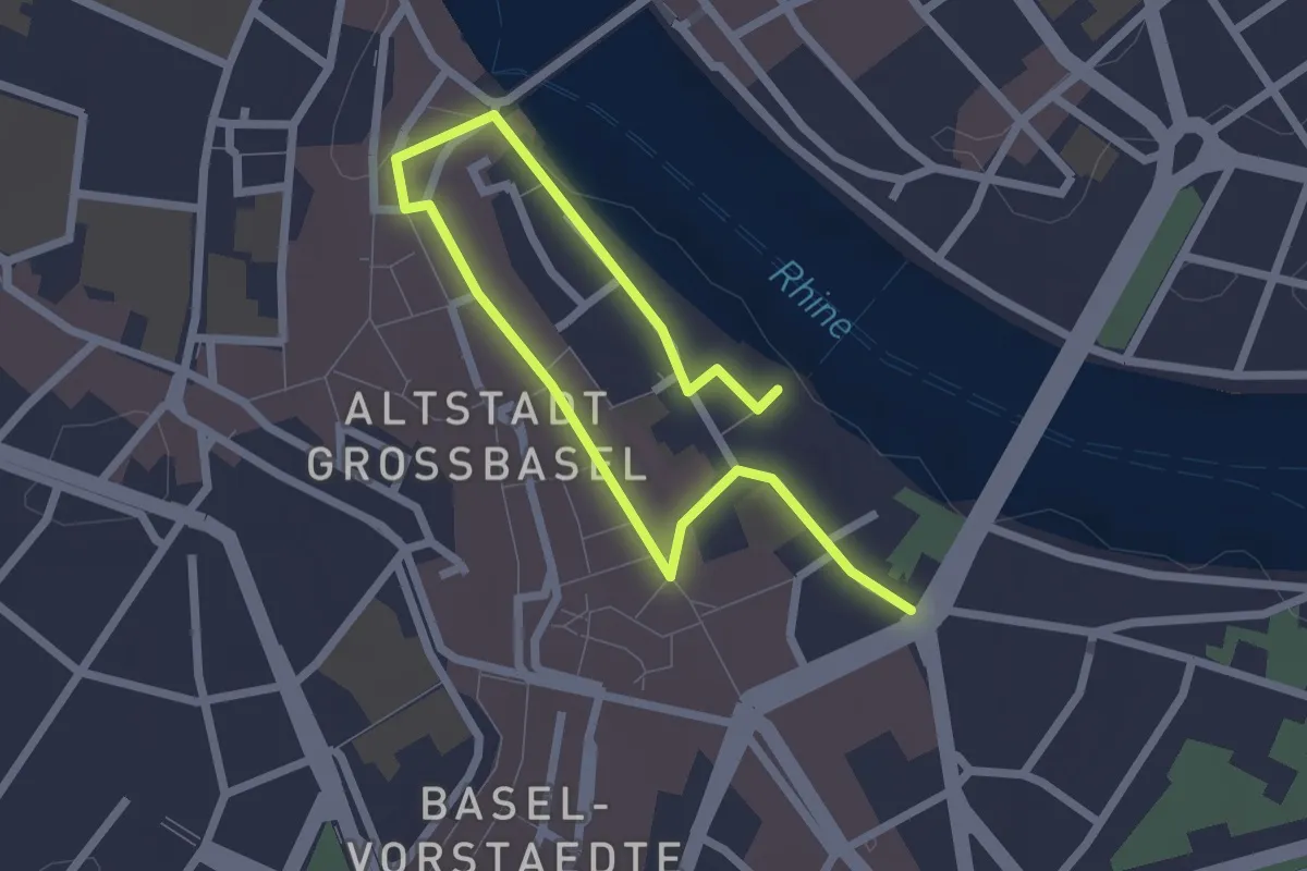
Easy · Trail
Erasmus Rundgang
3.1 km · ↑ 49 m · 50 min · 14 km away
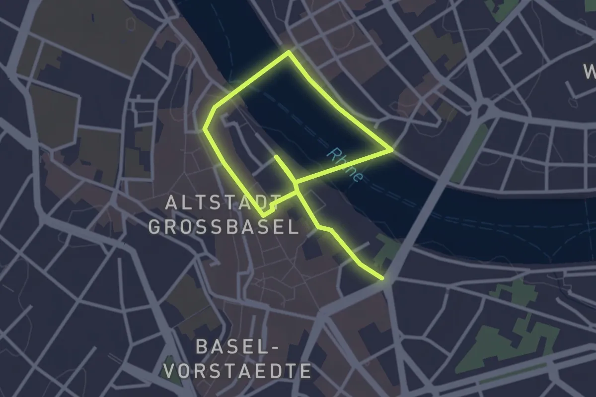
Easy · Trail
Hans_Holbein Rundgang
4.1 km · ↑ 69 m · 1 h 8 min · 14 km away
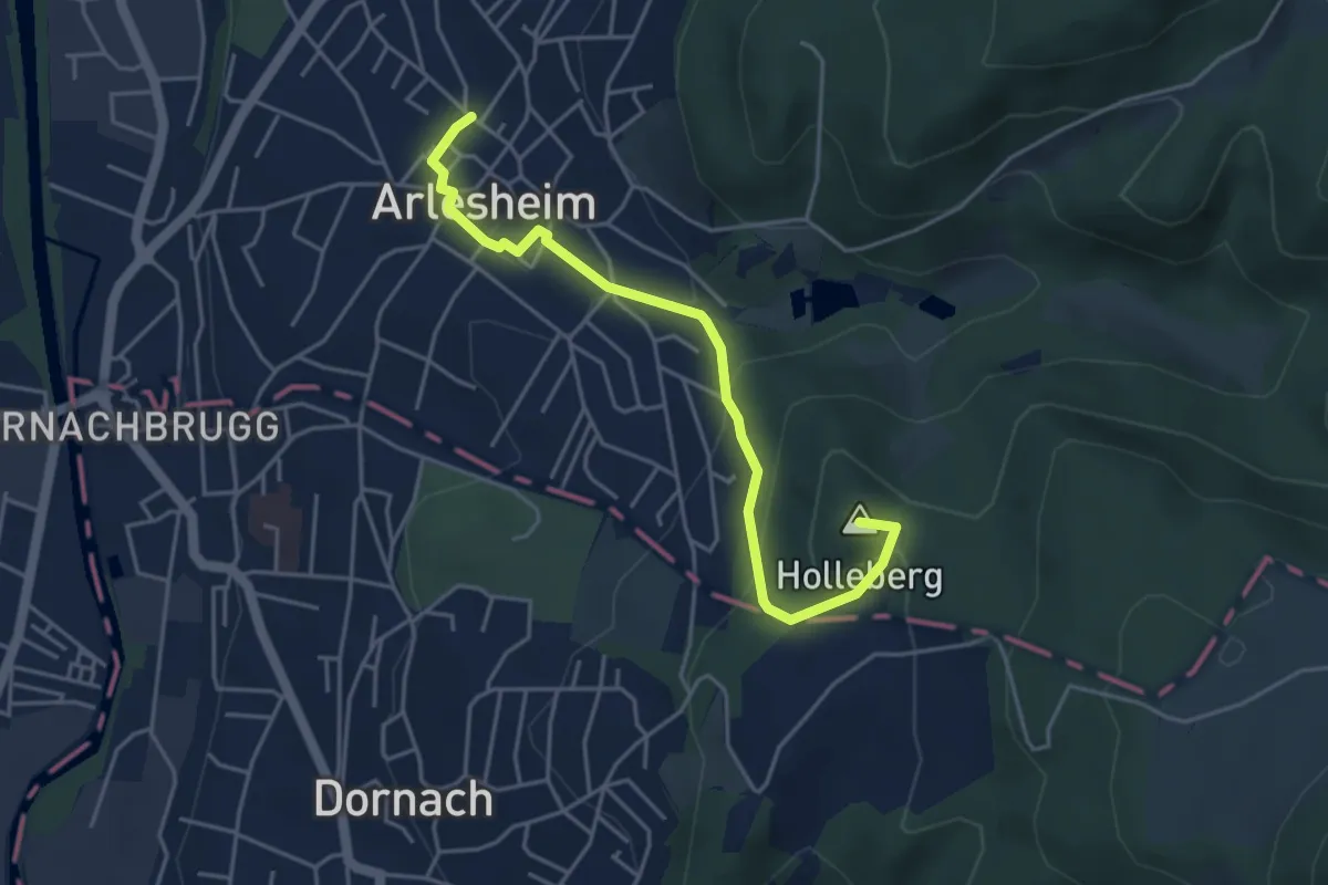
Easy · Summit
Eichmatt – Arlesheim Tram
4.4 km · ↑ 196 m · 1 h 28 min · 14 km away
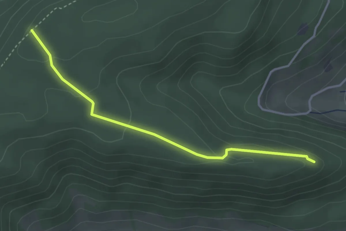
Easy · Trail
Tiersteinberg – Ruine Alt Homberg
3.2 km · ↑ 113 m · 1 h 1 min · 15 km away
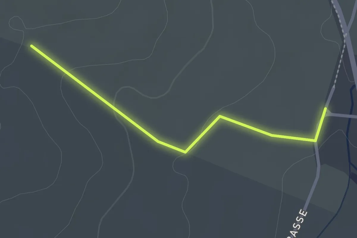
Easy · Trail
Wolfsheule - Bruckrain
2.2 km · ↑ 34 m · 35 min · 15 km away
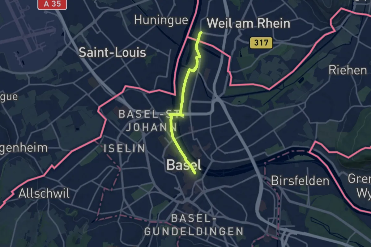
Medium · Trail
Himmelreich-Jakobusweg
9.9 km · ↑ 50 m · 2 h 26 min · 15 km away