Trails near Rheinfelden (Baden)
357 hikes starting within 15 km, nearest first.
Nearest first, page 8 of 8
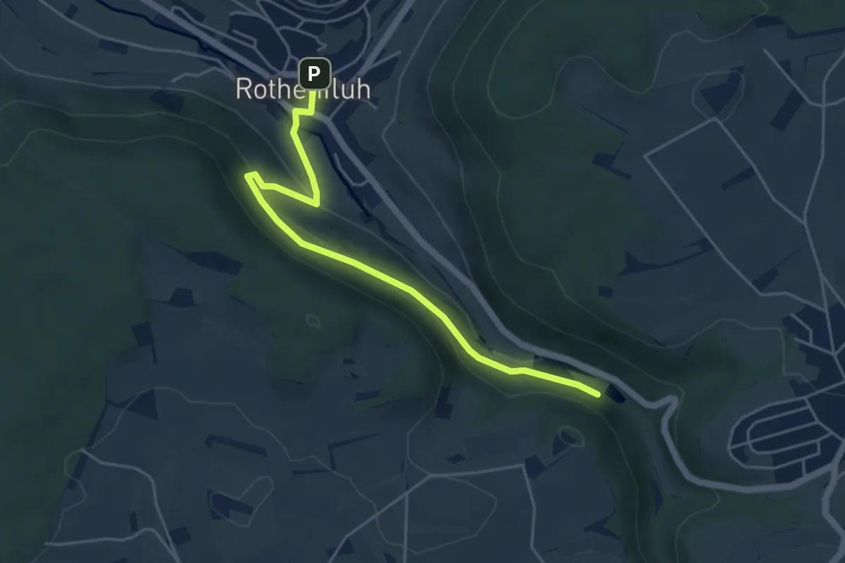
Easy · Trail
Talweiher – Rothenfluh
4.6 km · ↑ 168 m · 1 h 27 min · 15 km away
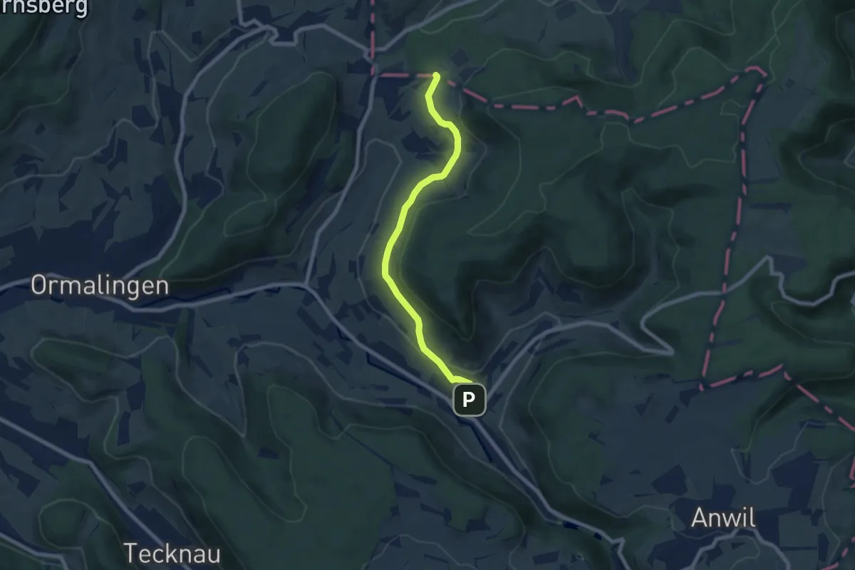
Easy · Trail
Usseri Weid – Rothenfluh
6.6 km · ↑ 202 m · 1 h 59 min · 15 km away
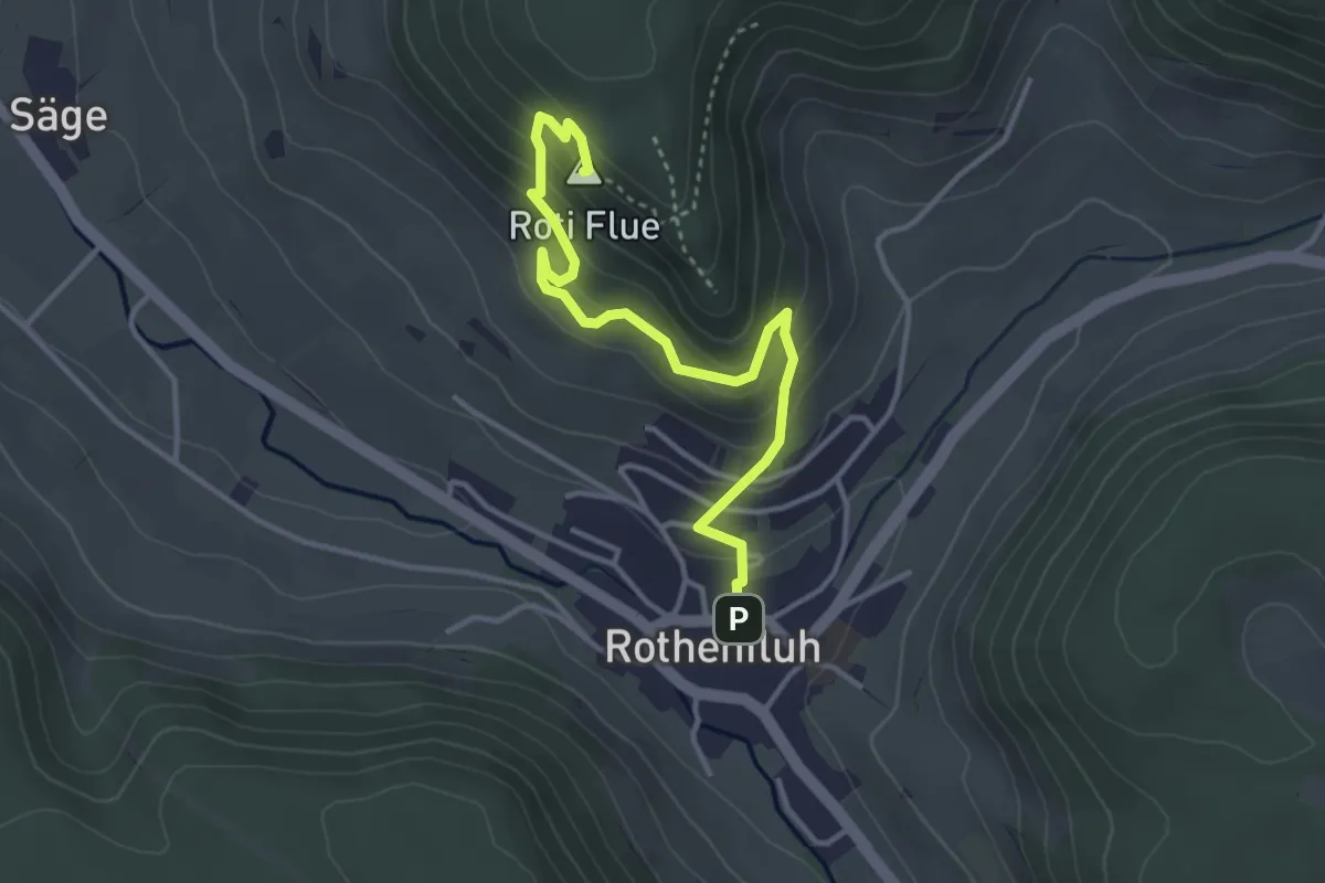
Easy · Summit
Rothenfluh – Rothenfluer Flue
3.7 km · ↑ 279 m · 1 h 29 min · 15 km away
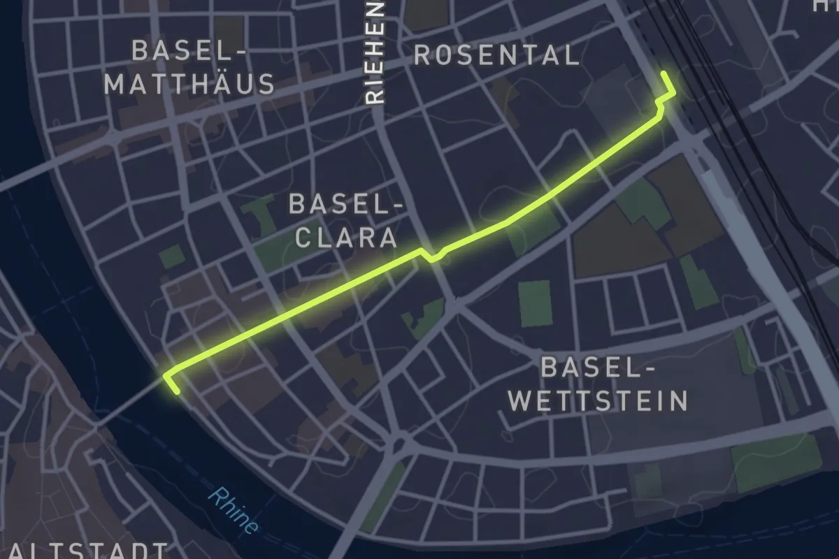
Easy · Trail
Fussweg Rheinliebe
3.1 km · ↑ 14 m · 46 min · 15 km away
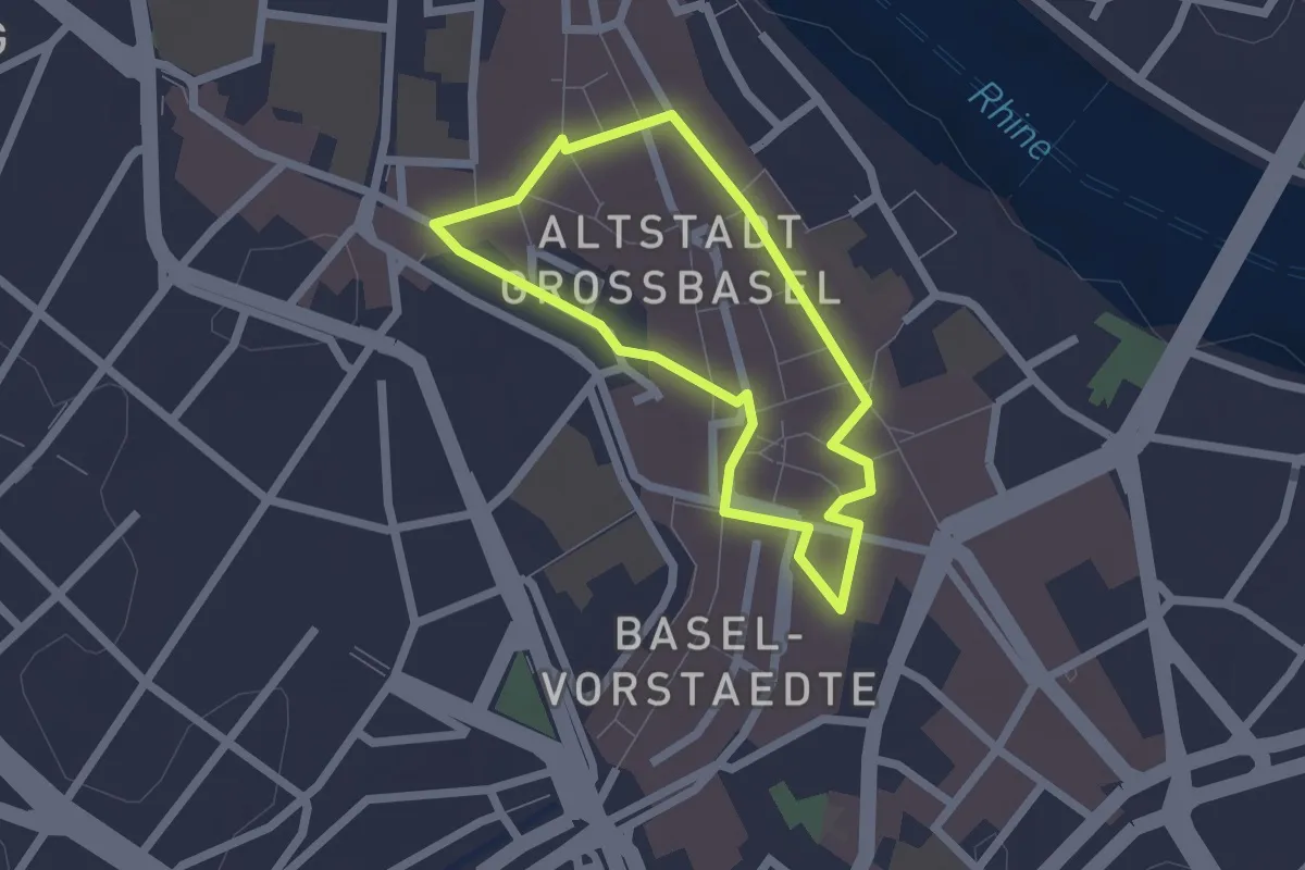
Easy · Trail
Jakob Burckhardt Rundgang
1.7 km · ↑ 15 m · 27 min · 15 km away
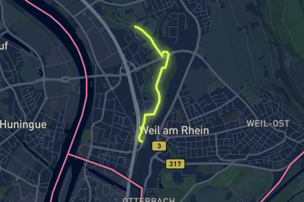
Easy · Trail
Krebsbachtal - Weil am Rhein Friedensbrücke
5.0 km · ↑ 21 m · 1 h 13 min · 15 km away
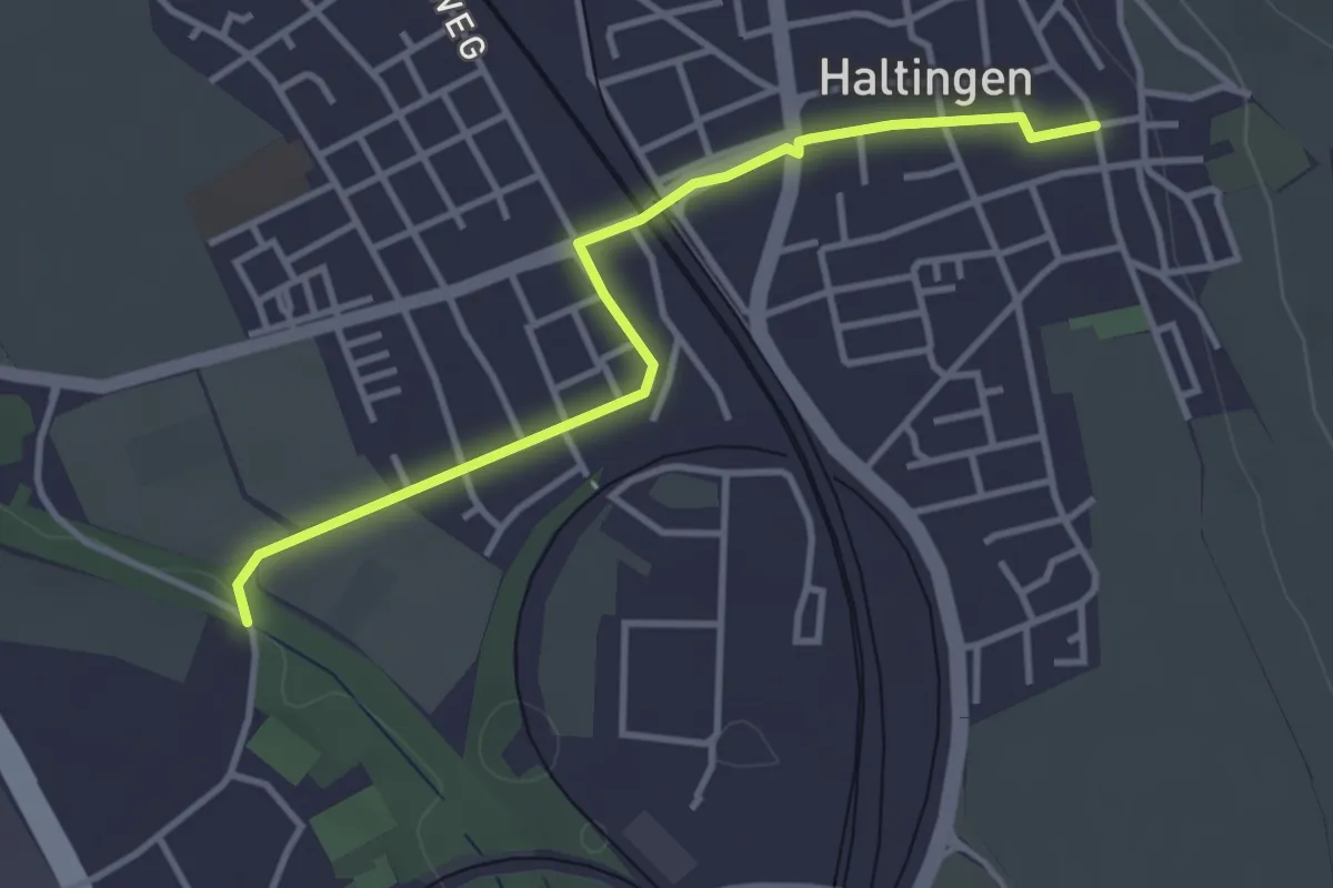
Easy · Trail
Haltingen Oberdorf - Krebsbachtal
3.5 km · ↑ 13 m · 52 min · 15 km away
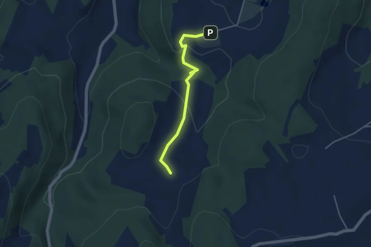
Medium · Trail
Arxhof – Wildenstein
2.8 km · ↑ 77 m · 50 min · 15 km away
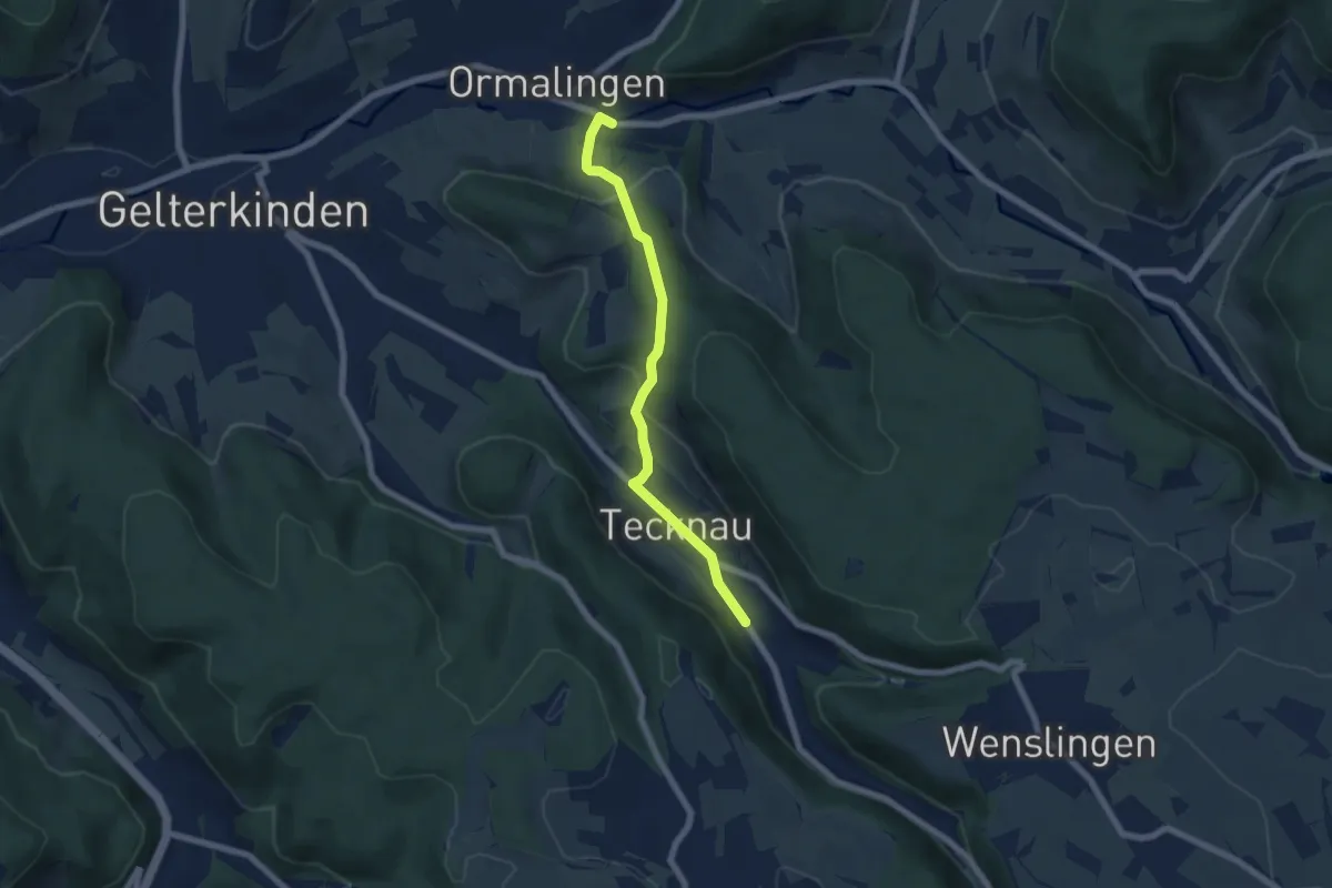
Easy · Trail
Tecknau - Ormalingen
6.0 km · ↑ 281 m · 2 h 2 min · 15 km away
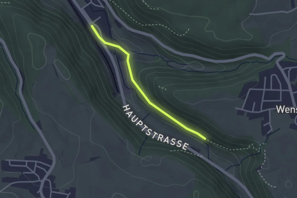
Easy · Trail
Tecknau – Burghalden
2.4 km · ↑ 56 m · 41 min · 15 km away
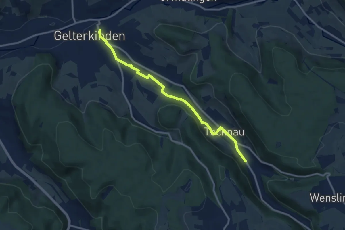
Easy · Trail
Gelterkinden – Tecknau
7.2 km · ↑ 102 m · 1 h 56 min · 15 km away
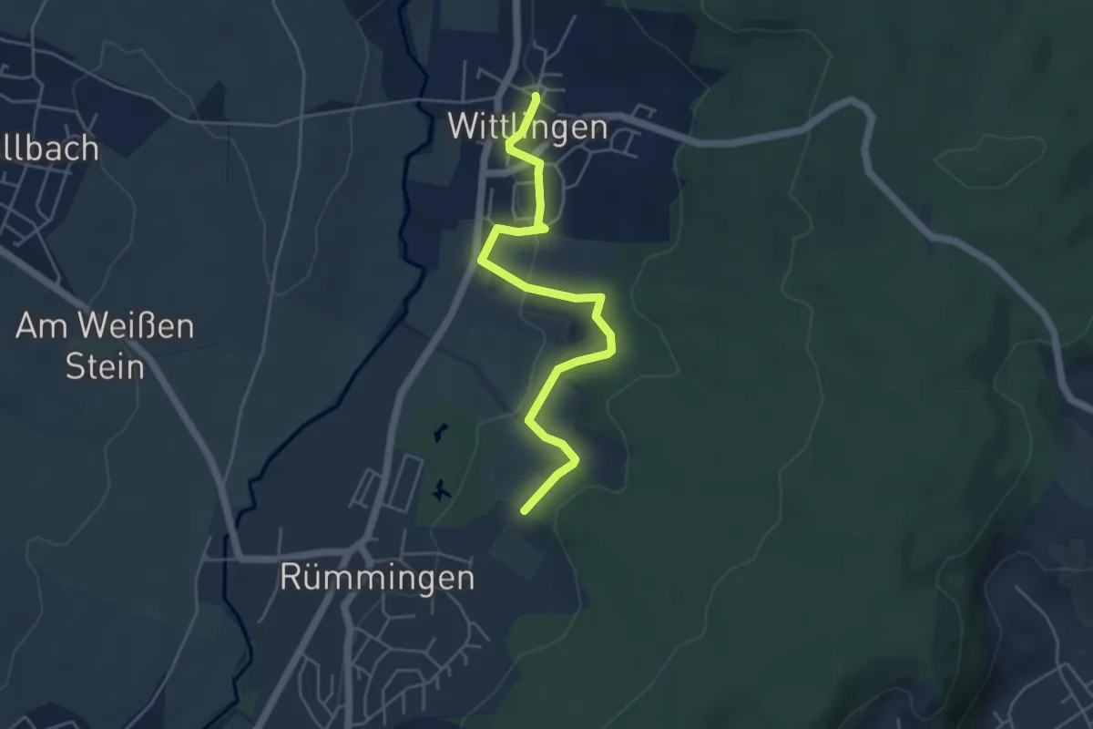
Easy · Trail
Wasserreservoir - Wittlingen Am Rathaus
4.7 km · ↑ 110 m · 1 h 21 min · 15 km away
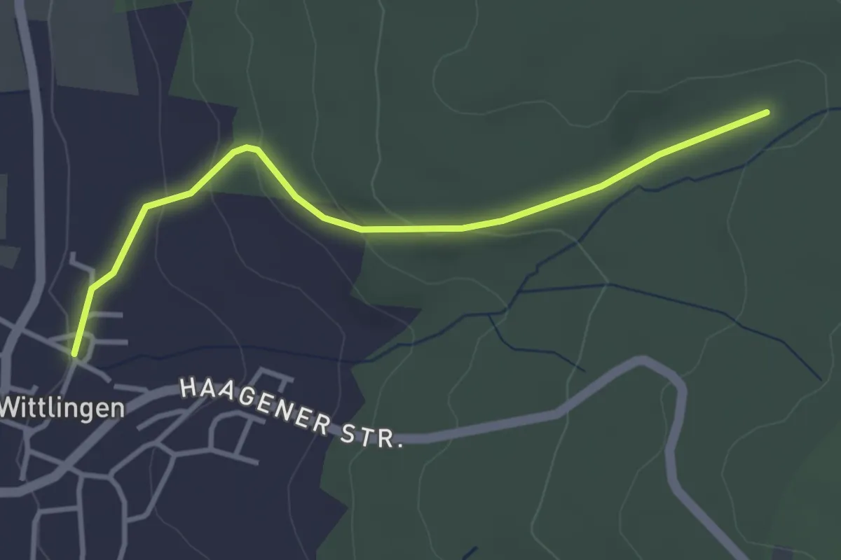
Easy · Trail
Wittlingen Am Rathaus - Eselplatz
3.3 km · ↑ 115 m · 1 h 1 min · 15 km away
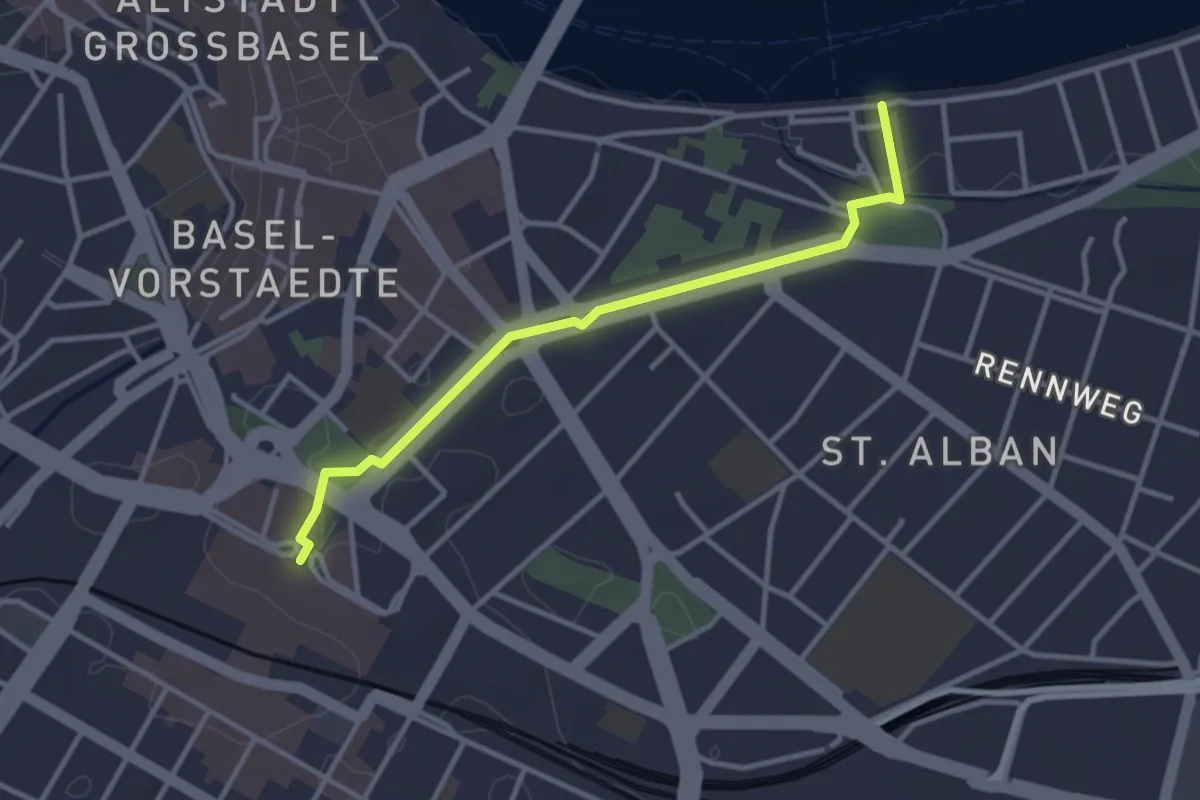
Easy · Trail
St. Albans – Bahnhof SBB
3.1 km · ↑ 34 m · 49 min · 15 km away
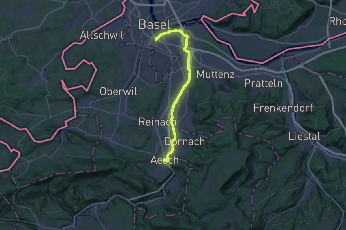
Demanding · Trail
ViaJura - Etappe 1
27.1 km · ↑ 101 m · 6 h 38 min · 15 km away
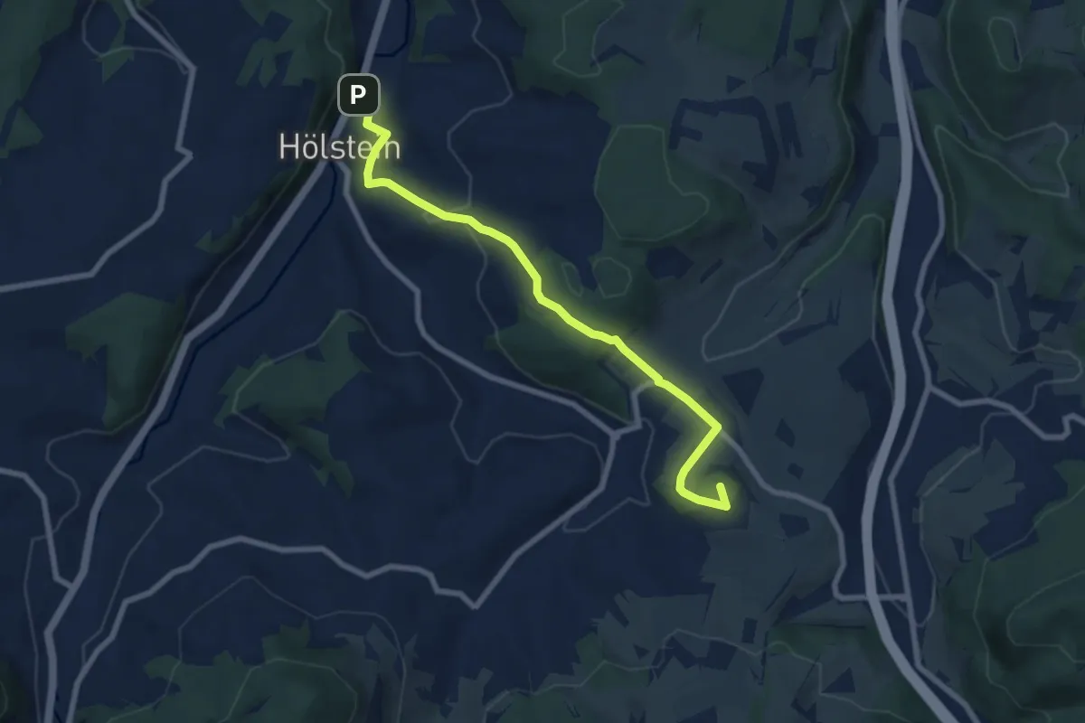
Easy · Summit
Ober Diegten - Hölstein
7.5 km · ↑ 307 m · 2 h 26 min · 15 km away
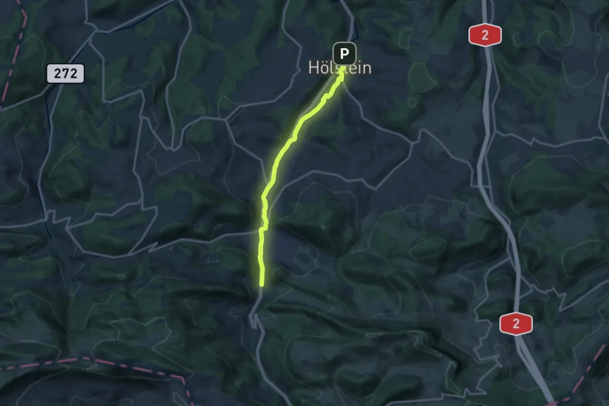
Medium · Trail
Hölstein-Langenbruck
11.0 km · ↑ 193 m · 3 h 1 min · 15 km away
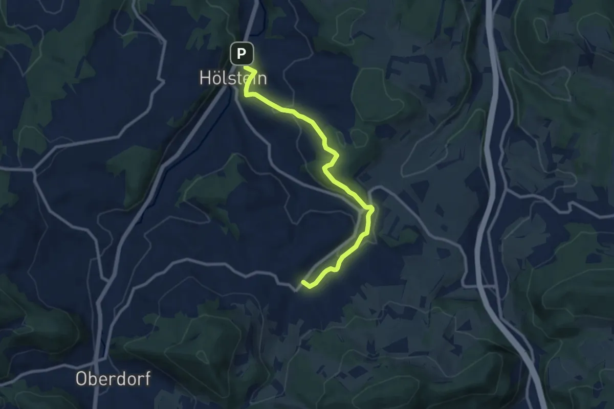
Medium · Trail
Hölstein-Bennwil
8.5 km · ↑ 310 m · 2 h 41 min · 15 km away
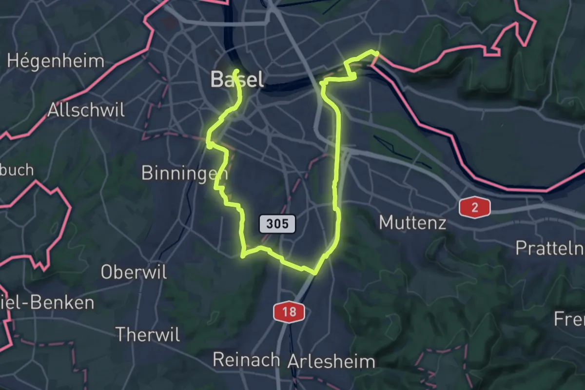
Medium · Trail
Dreiland-Wanderweg - Etappe 1
16.2 km · ↑ 131 m · 4 h 20 min · 15 km away
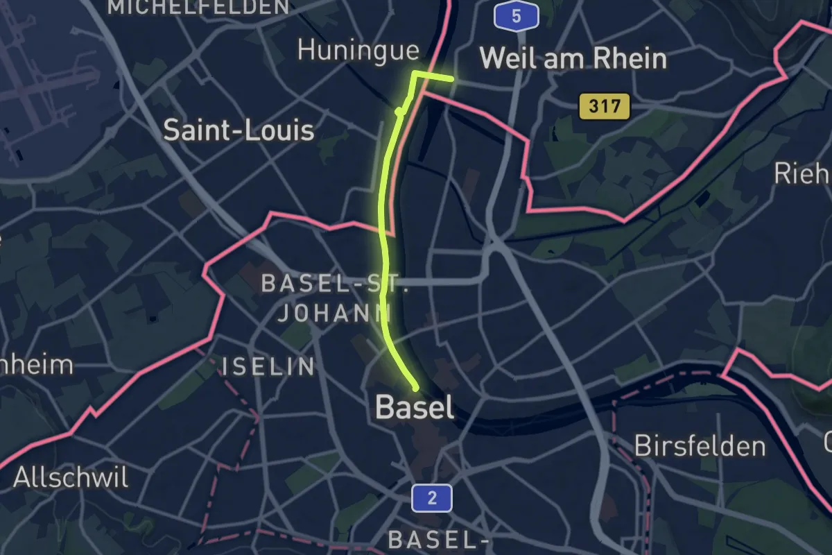
Medium · Trail
Dreiland-Wanderweg - Etappe 3
8.4 km · ↑ 29 m · 2 h 3 min · 15 km away
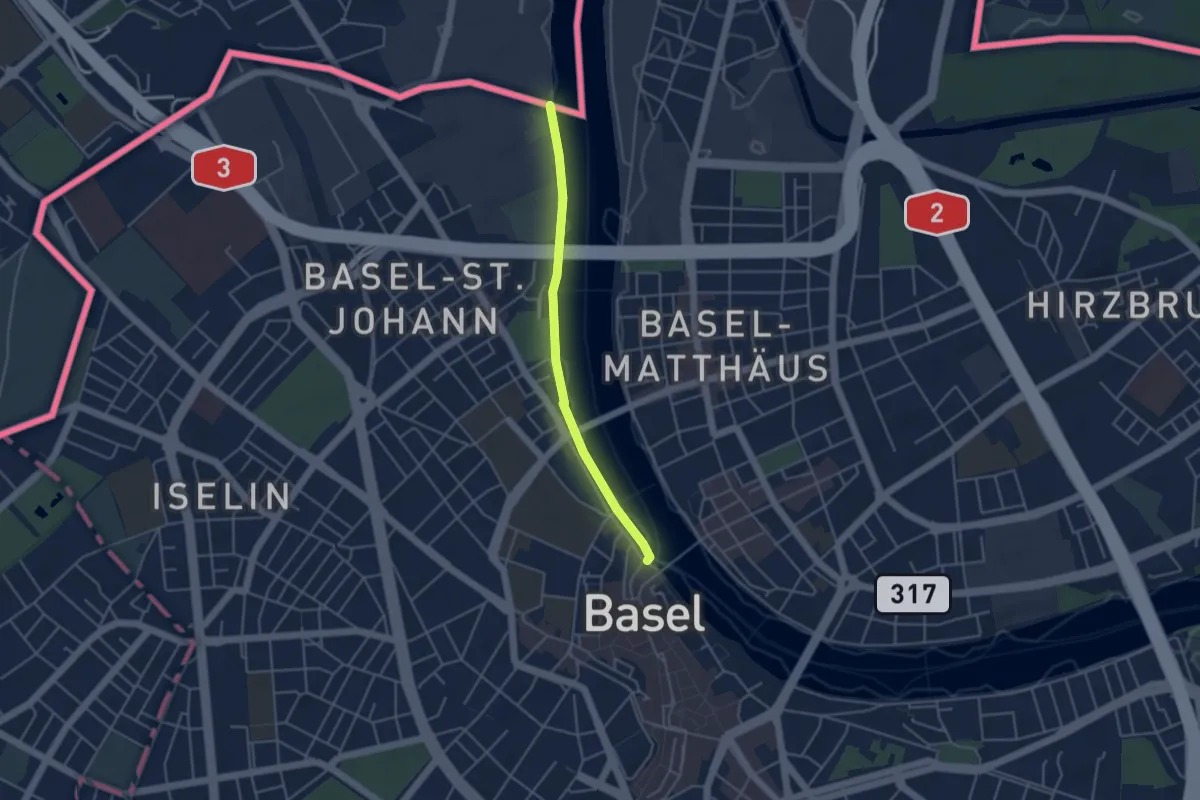
Easy · Trail
Schifflände – Weil am Rhein Bahnhof
3.7 km · ↑ 4 m · 54 min · 15 km away