Trails near Rotkreuz
648 hikes starting within 15 km, nearest first.
Nearest first, page 11 of 14
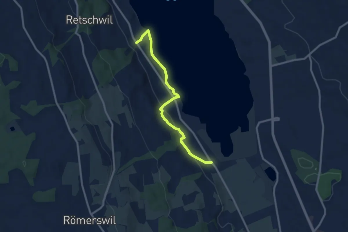
Easy · Trail
Nunwil - Retschwil
6.1 km · ↑ 164 m · 1 h 48 min · 13 km away
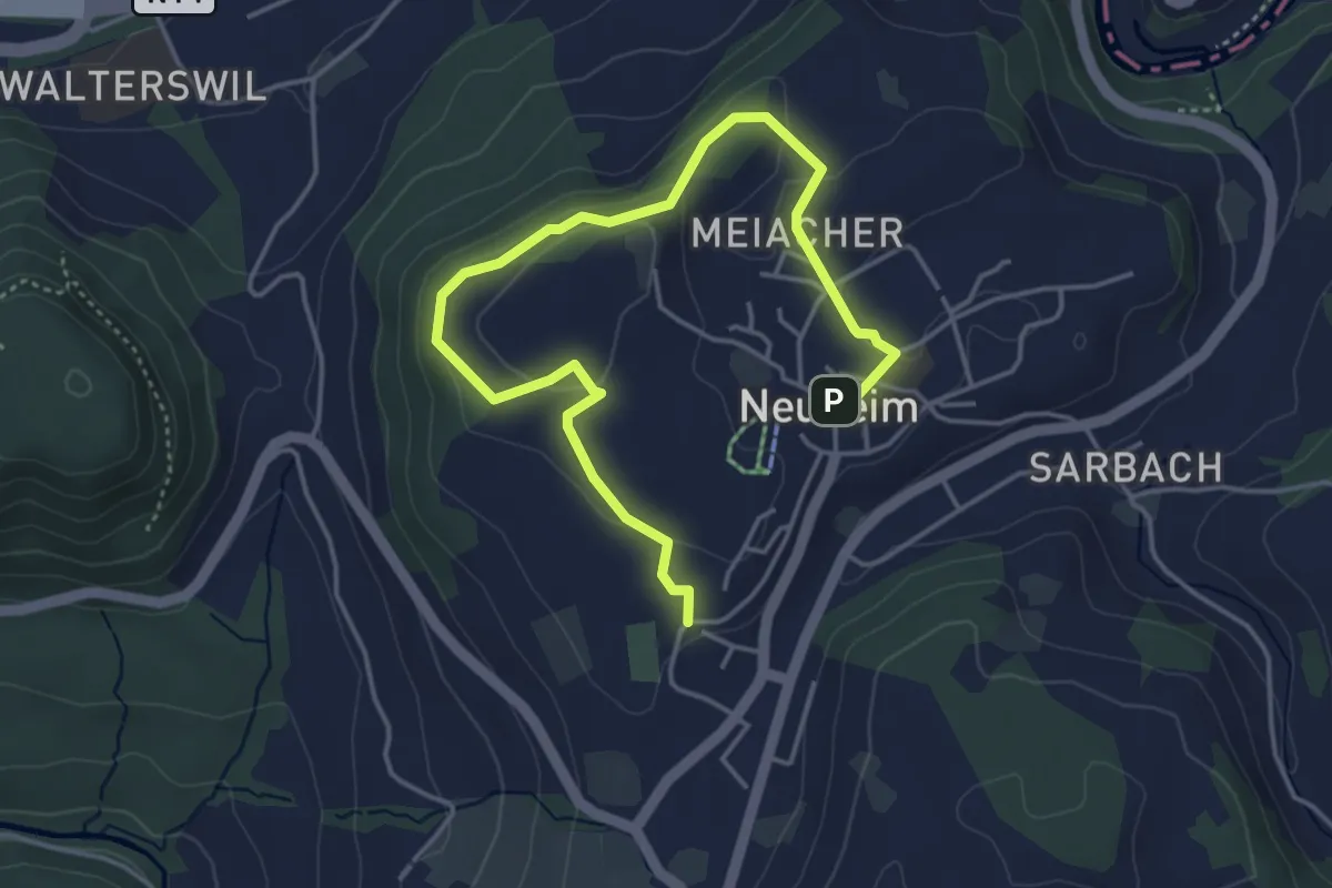
Easy · Trail
Josefsgütsch Rundwanderweg
5.2 km · ↑ 119 m · 1 h 29 min · 13 km away
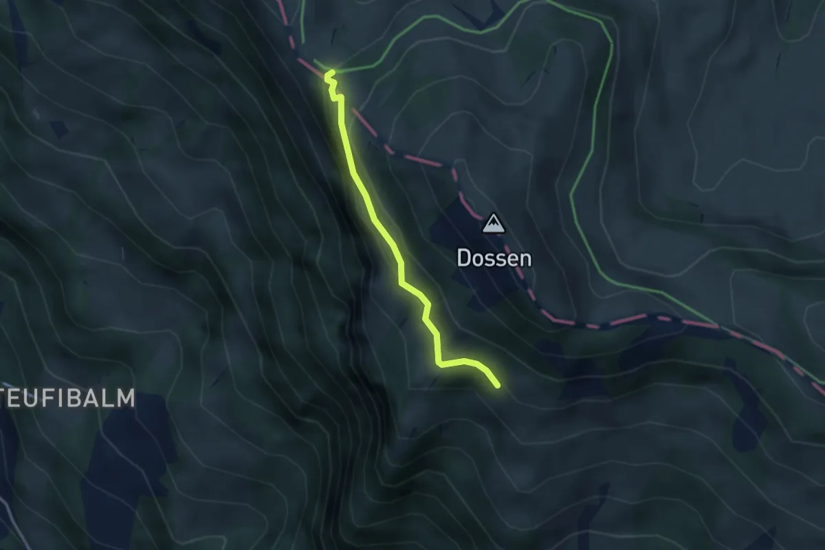
Easy · Trail
Oberstafel – Unterstetten
2.6 km · ↑ 152 m · 56 min · 13 km away
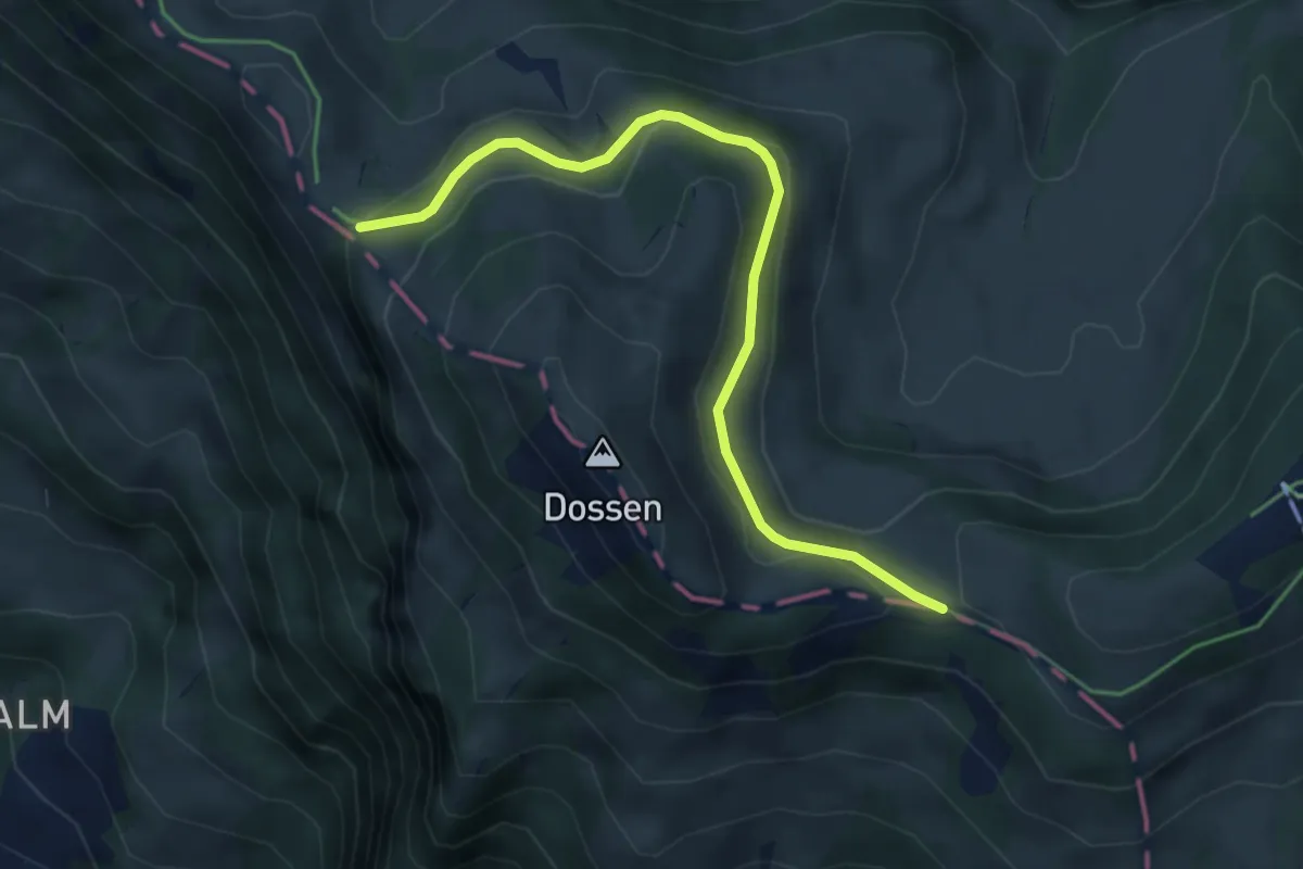
Easy · Trail
Hinder Dossen – Unterstetten
4.5 km · ↑ 128 m · 1 h 21 min · 13 km away
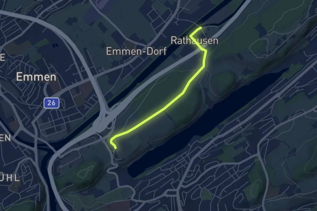
Easy · Trail
Rathausen Brücke – Sädel
4.8 km · ↑ 89 m · 1 h 20 min · 13 km away
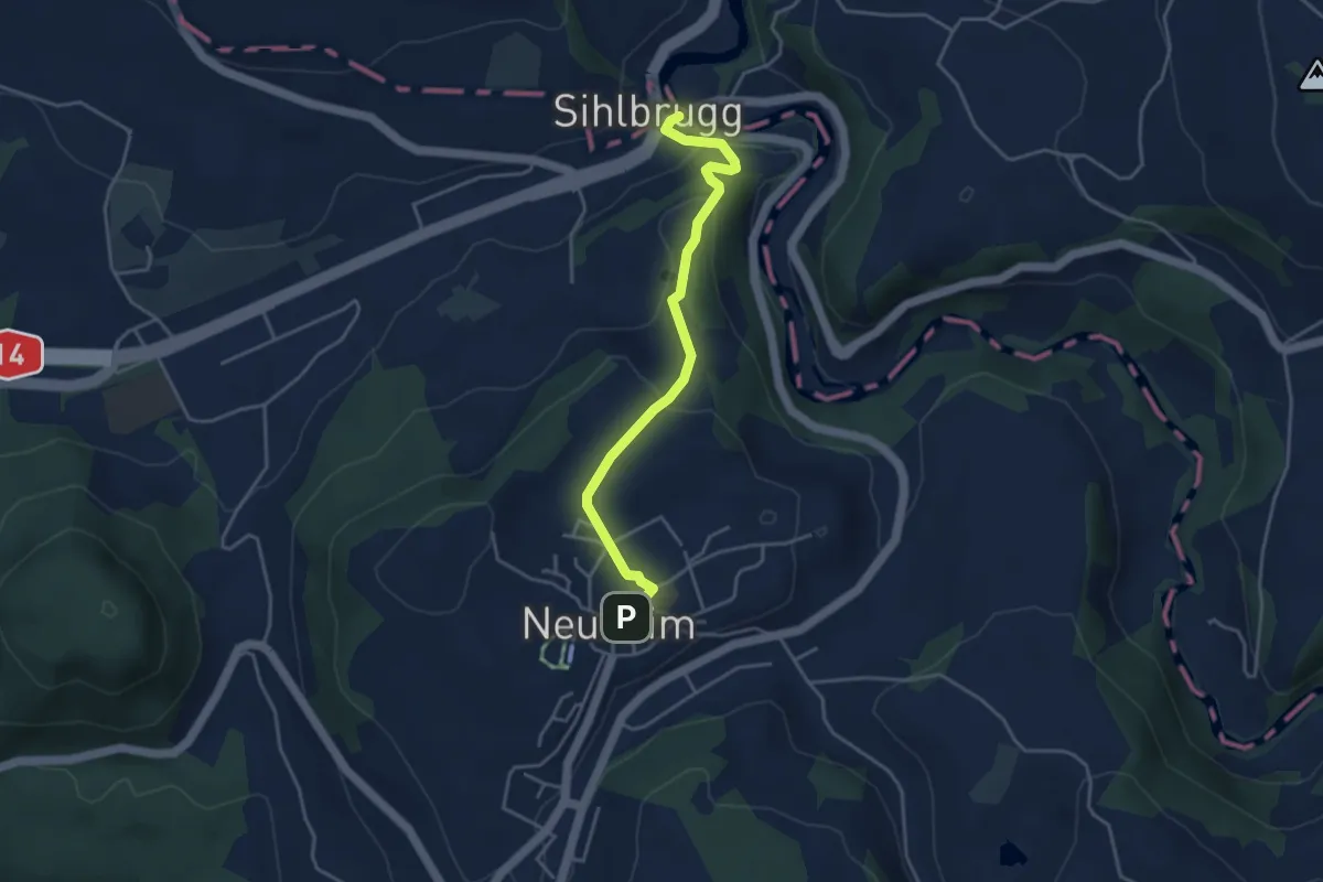
Easy · Trail
Sihlbrugg Dorf – Neuheim
4.0 km · ↑ 138 m · 1 h 14 min · 13 km away
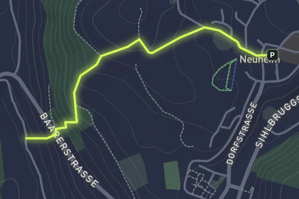
Easy · Trail
Neuheim - Baarburg
2.7 km · ↑ 177 m · 1 h 2 min · 13 km away
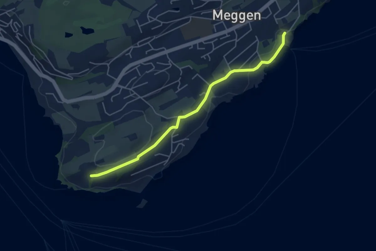
Easy · Trail
Meggenhorn - Meggen (Schiff)
4.5 km · ↑ 98 m · 1 h 16 min · 13 km away
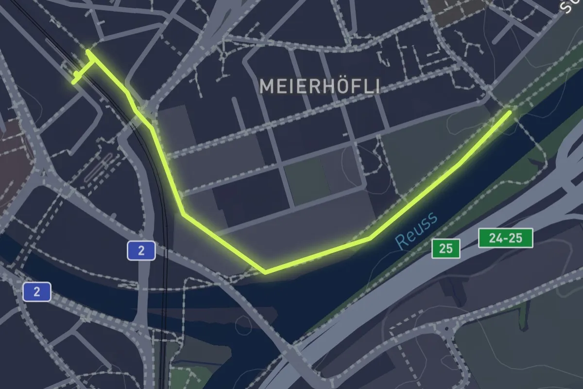
Easy · Trail
Sädelbrücke – Emmenbrücke (Bahnhof)
2.4 km · ↑ 4 m · 34 min · 13 km away
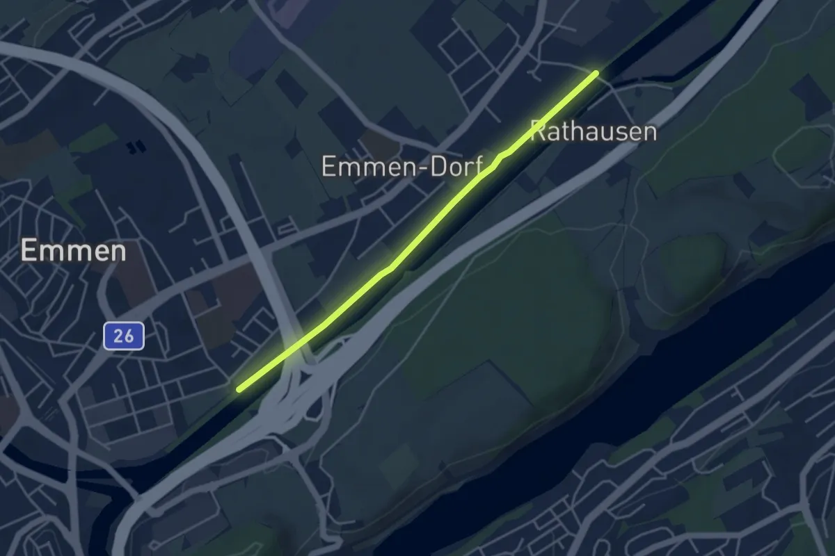
Easy · Trail
Sädelbrücke - Rathausen
3.9 km · ↑ 0 m · 55 min · 13 km away
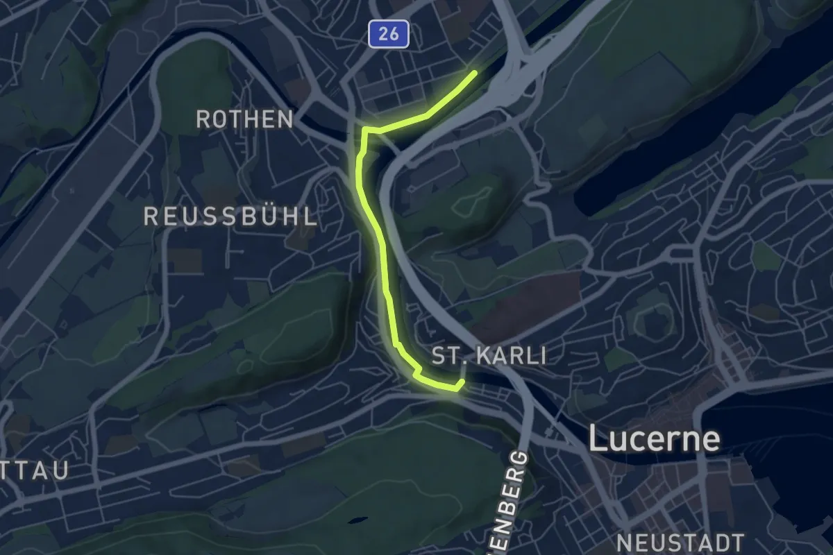
Easy · Trail
Sädelbrücke - St. Karli
4.9 km · ↑ 39 m · 1 h 14 min · 13 km away
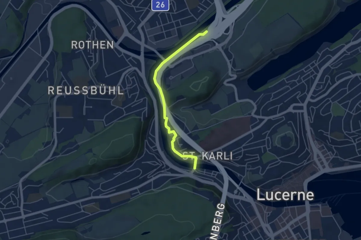
Easy · Trail
Sädelbrücke - St.Karli
4.5 km · ↑ 69 m · 1 h 12 min · 13 km away
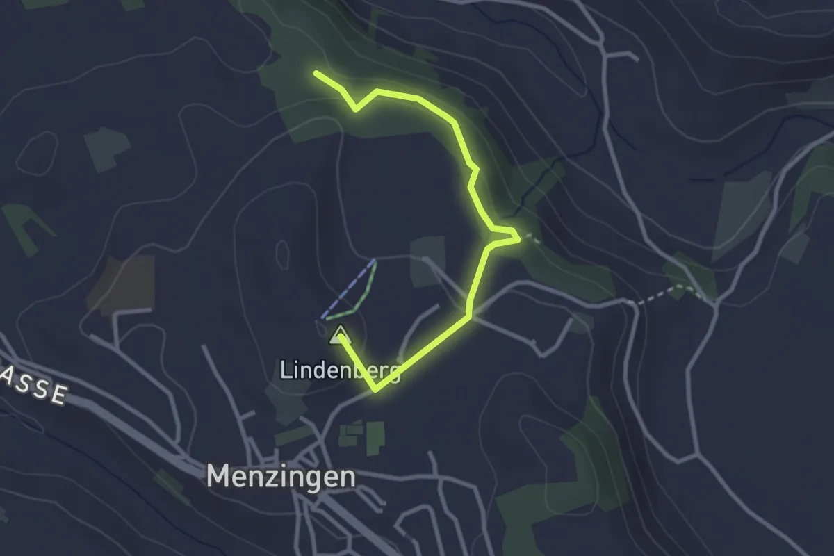
Easy · Summit
Chälenwald - Menzingen
2.8 km · ↑ 122 m · 55 min · 13 km away
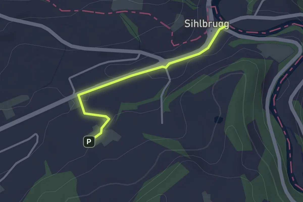
Easy · Trail
Sihlbrugg Dorf – Utigen
2.4 km · ↑ 23 m · 37 min · 13 km away
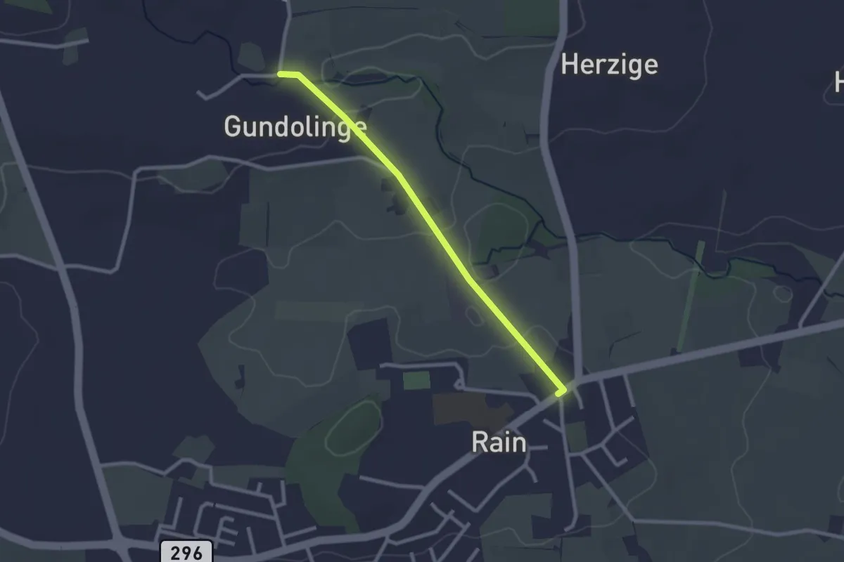
Easy · Trail
Rain - Gundelingen
2.3 km · ↑ 28 m · 36 min · 13 km away
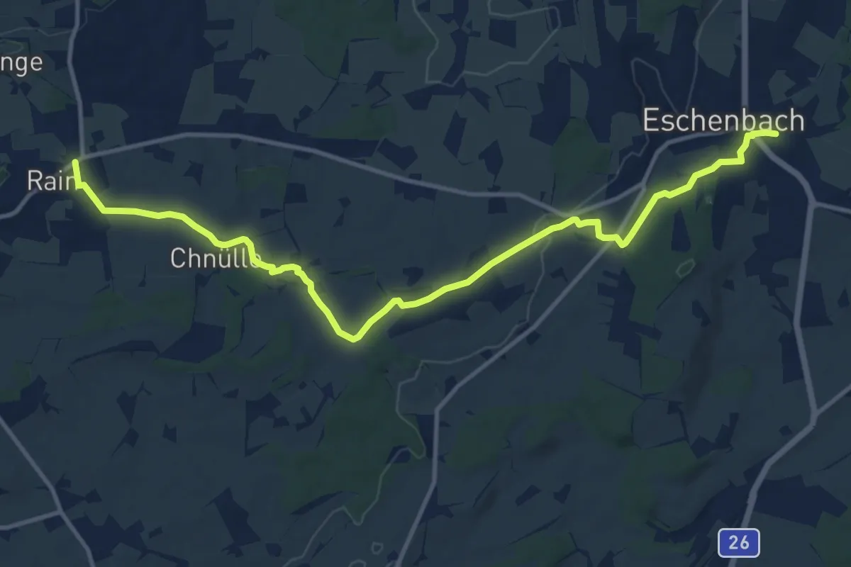
Medium · Trail
Eschenbach - Rain
12.9 km · ↑ 203 m · 3 h 30 min · 13 km away
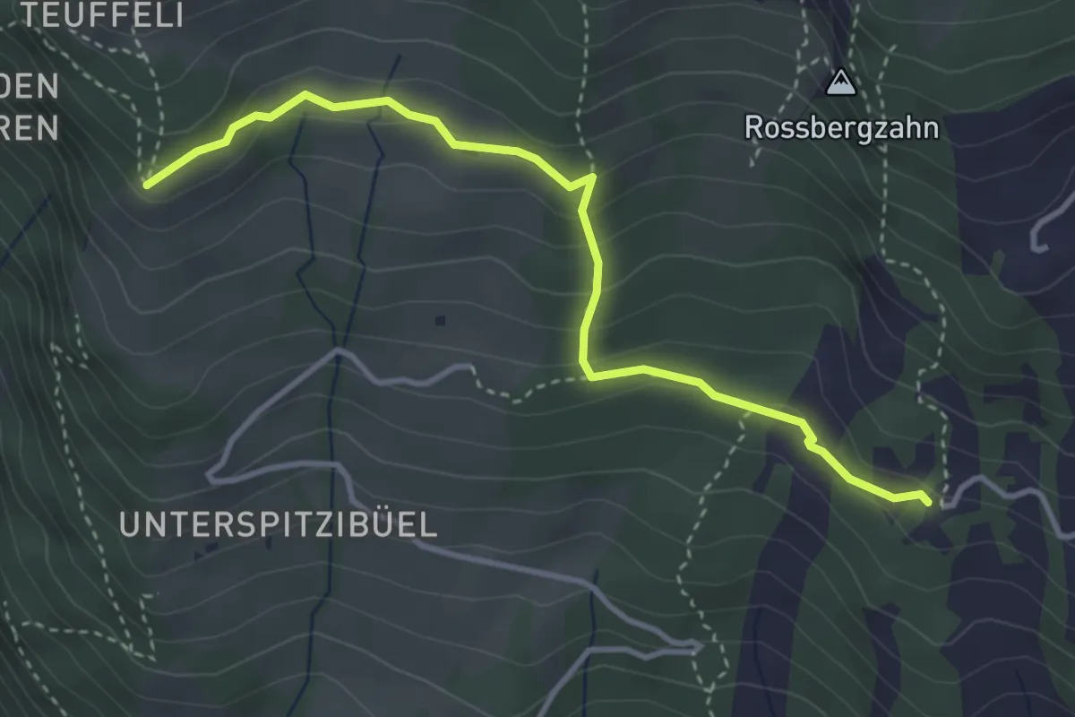
Demanding · Trail
Spitzibüel – Gribsch
3.7 km · ↑ 195 m · 1 h 17 min · 13 km away
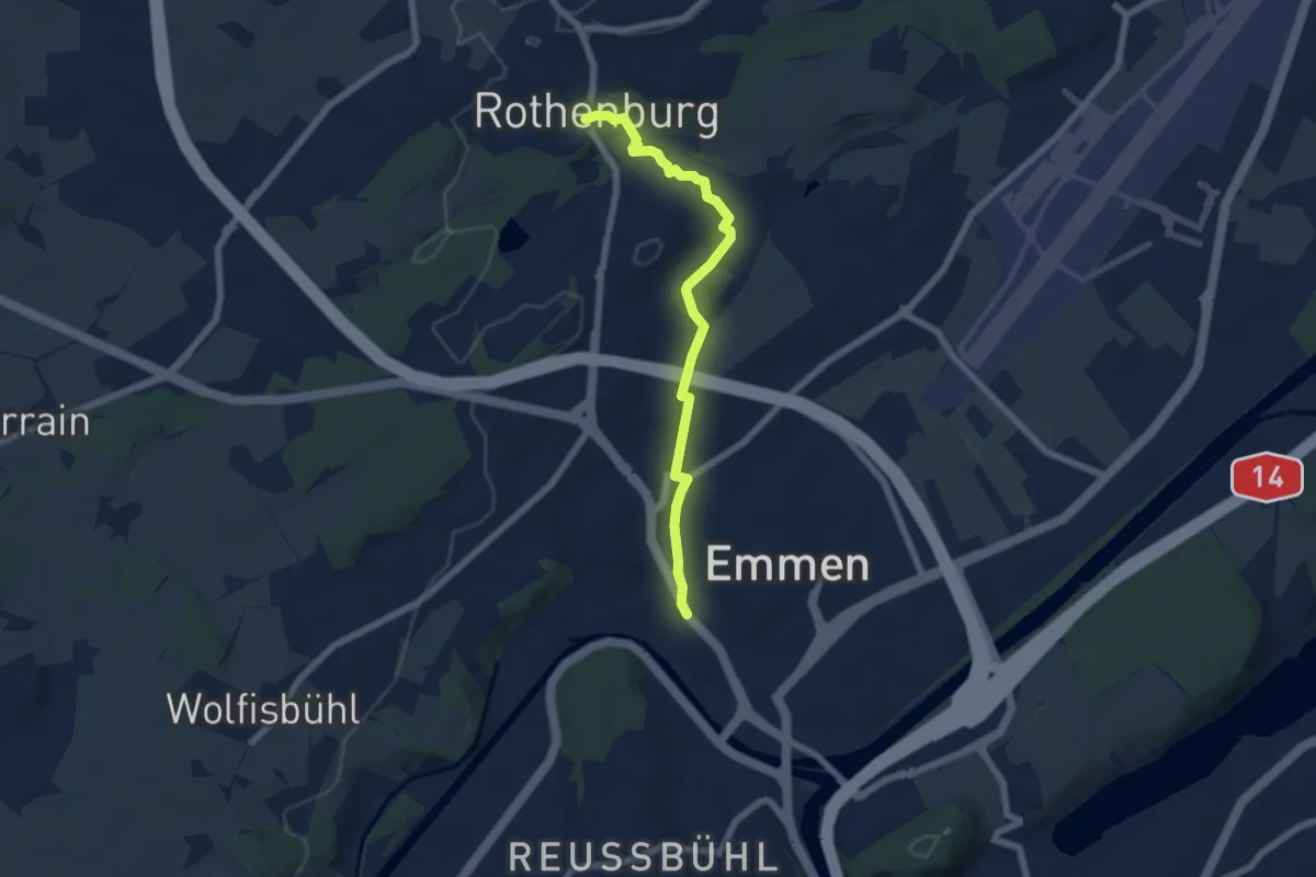
Easy · Trail
Emmenbrücke-Rotenburg
6.2 km · ↑ 91 m · 1 h 39 min · 13 km away
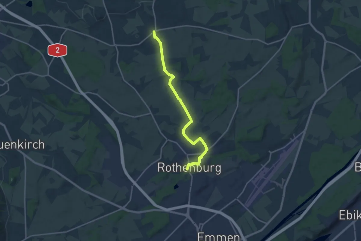
Medium · Trail
Rotenburg - Rain
11.5 km · ↑ 106 m · 2 h 57 min · 13 km away
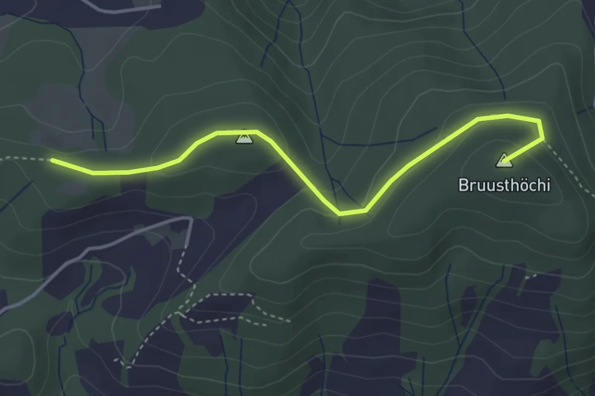
Easy · Summit
Mangelihöche - Chnollenweid Sätteli
3.7 km · ↑ 142 m · 1 h 11 min · 13 km away
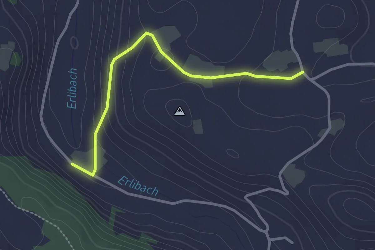
Easy · Trail
Blachen - Erlenbach
2.5 km · ↑ 87 m · 46 min · 13 km away
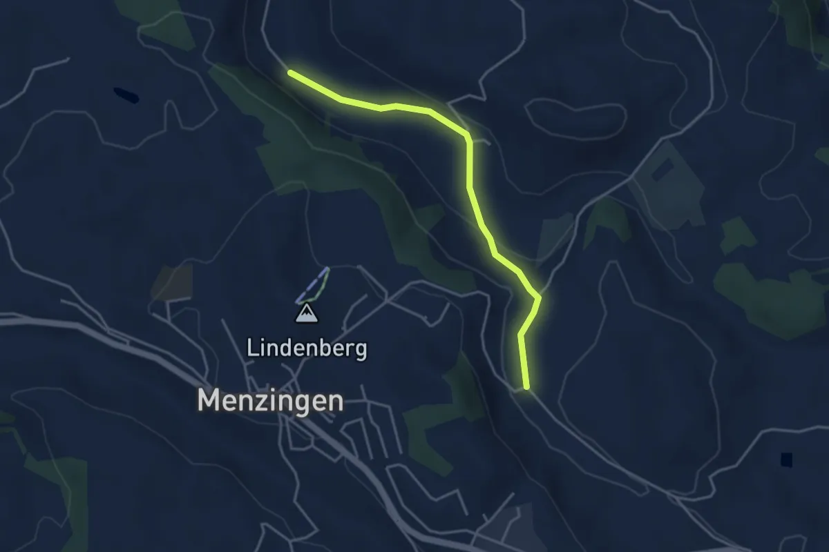
Easy · Trail
Brättigen - Erlenbach
3.6 km · ↑ 79 m · 1 h 1 min · 13 km away
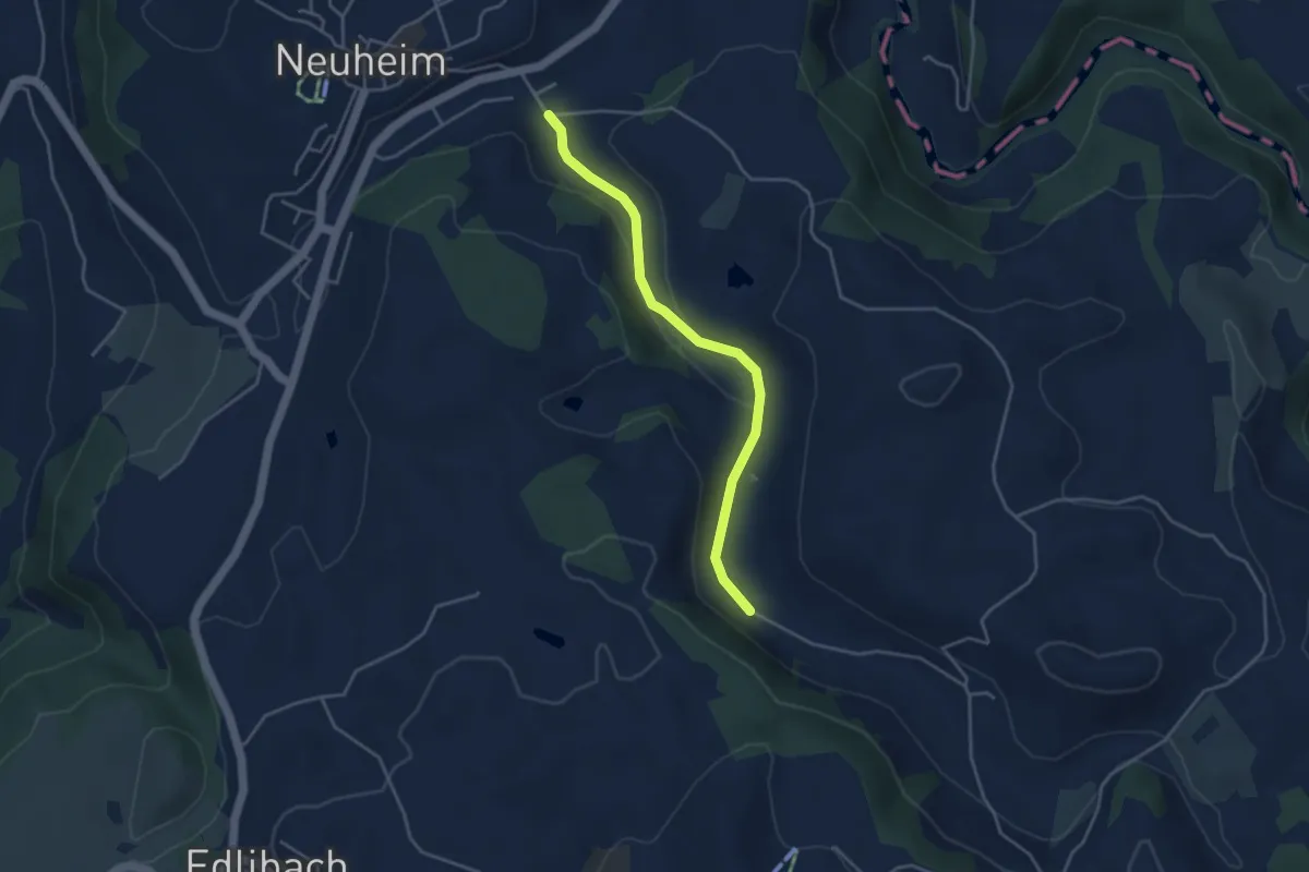
Easy · Trail
Erlenbach - Sarbach
3.8 km · ↑ 84 m · 1 h 5 min · 13 km away
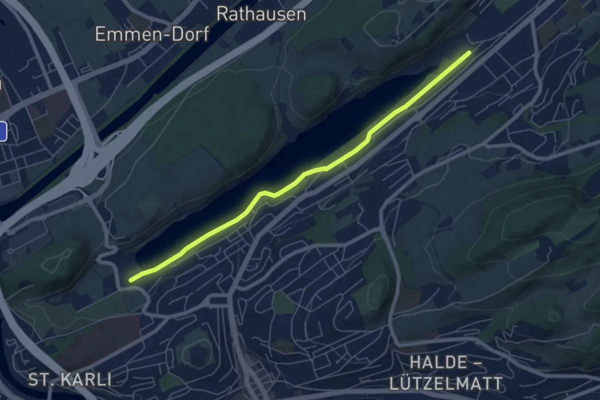
Easy · Trail
Rotsee West (Süd) - Rotsee Ost (Süd)
5.9 km · ↑ 38 m · 1 h 29 min · 13 km away
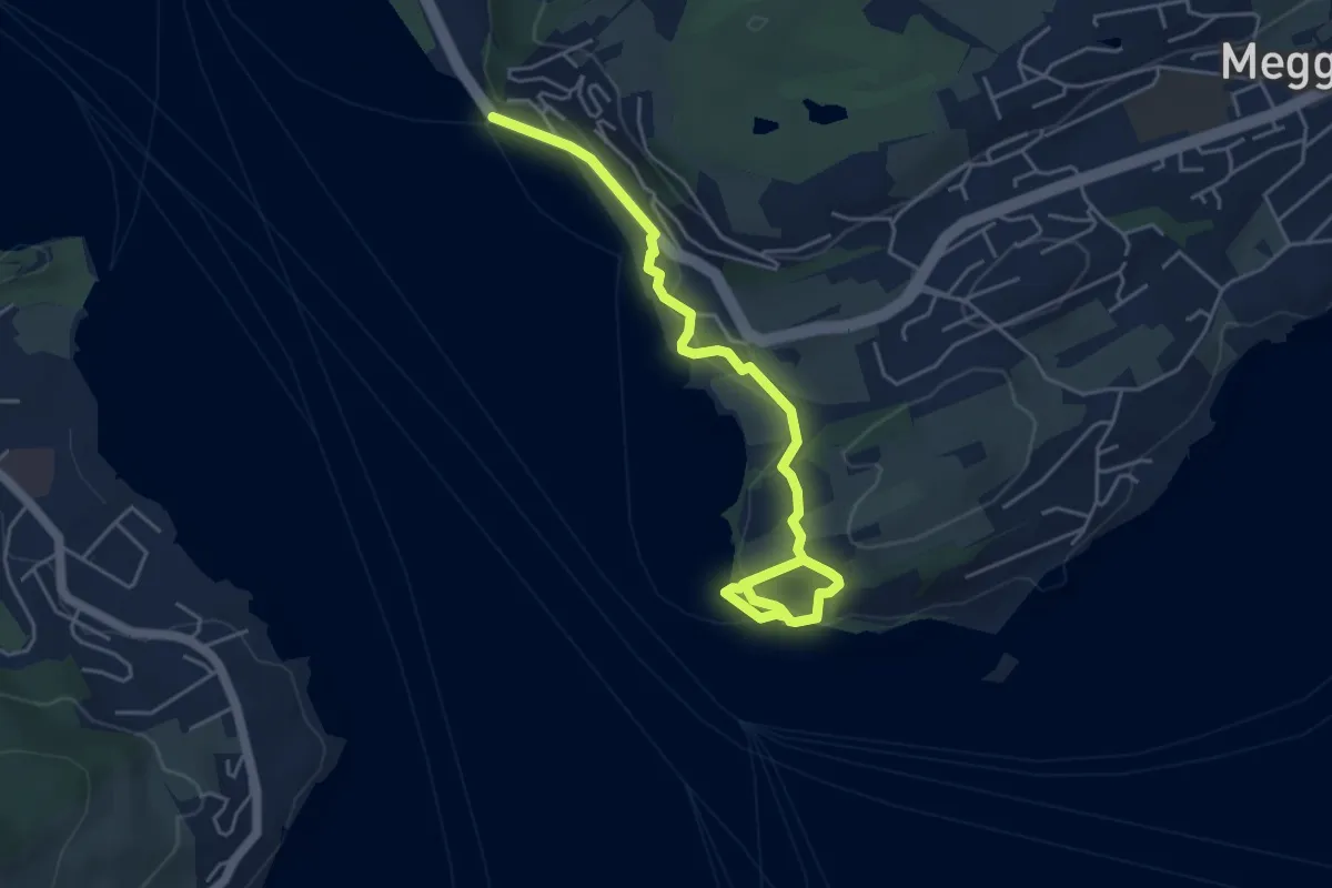
Easy · Trail
Seeburg - Meggenhorn
5.6 km · ↑ 209 m · 1 h 47 min · 13 km away
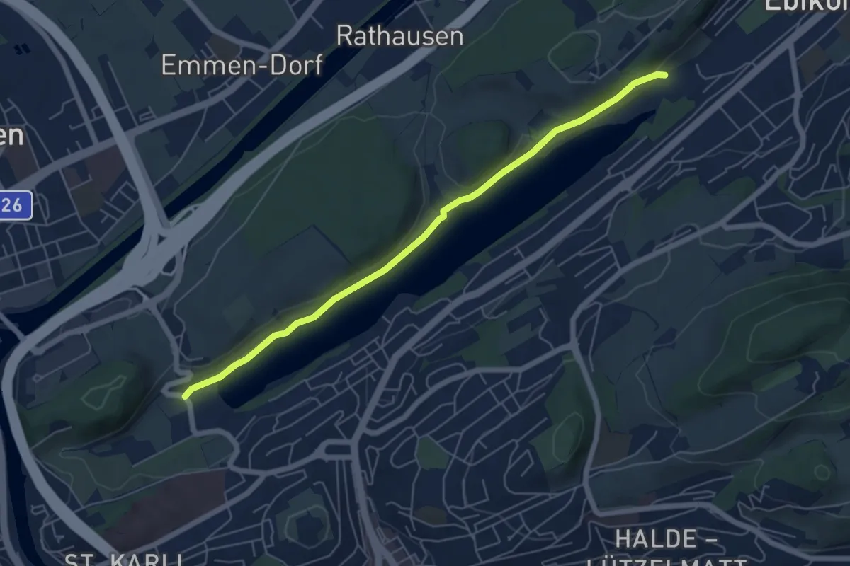
Easy · Trail
Rootsee West - Rotsee Ost
5.8 km · ↑ 95 m · 1 h 34 min · 13 km away
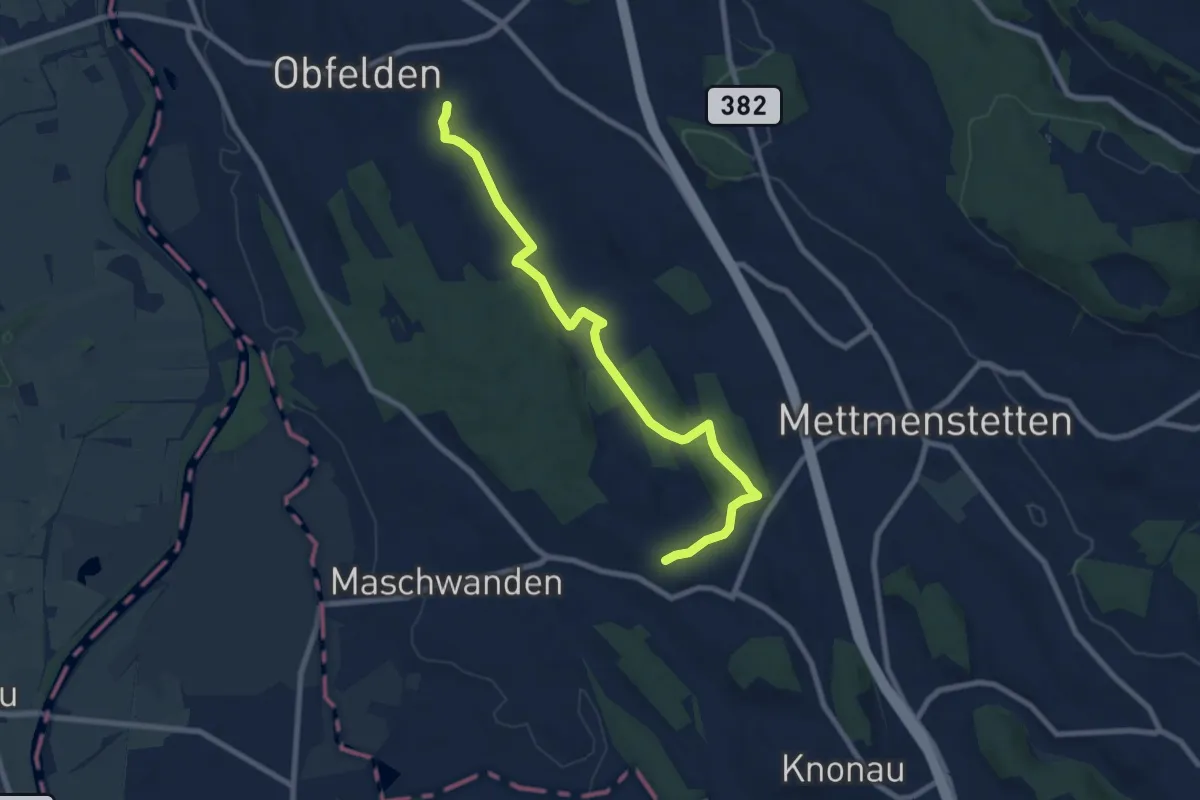
Medium · Trail
Wolsen - Hinteruttenberg
8.6 km · ↑ 107 m · 2 h 15 min · 13 km away
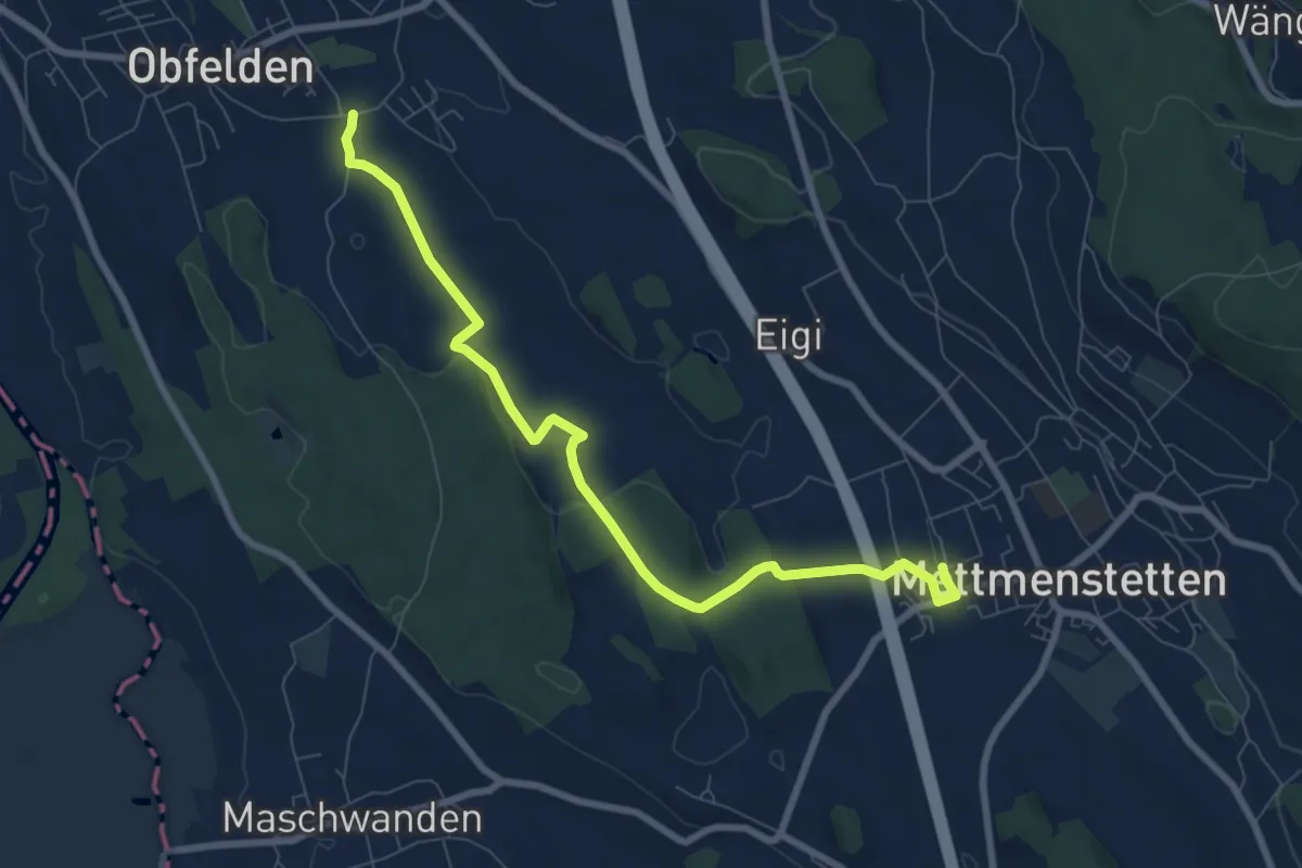
Medium · Trail
Wolsen – Mettmenstetten
8.3 km · ↑ 93 m · 2 h 10 min · 13 km away
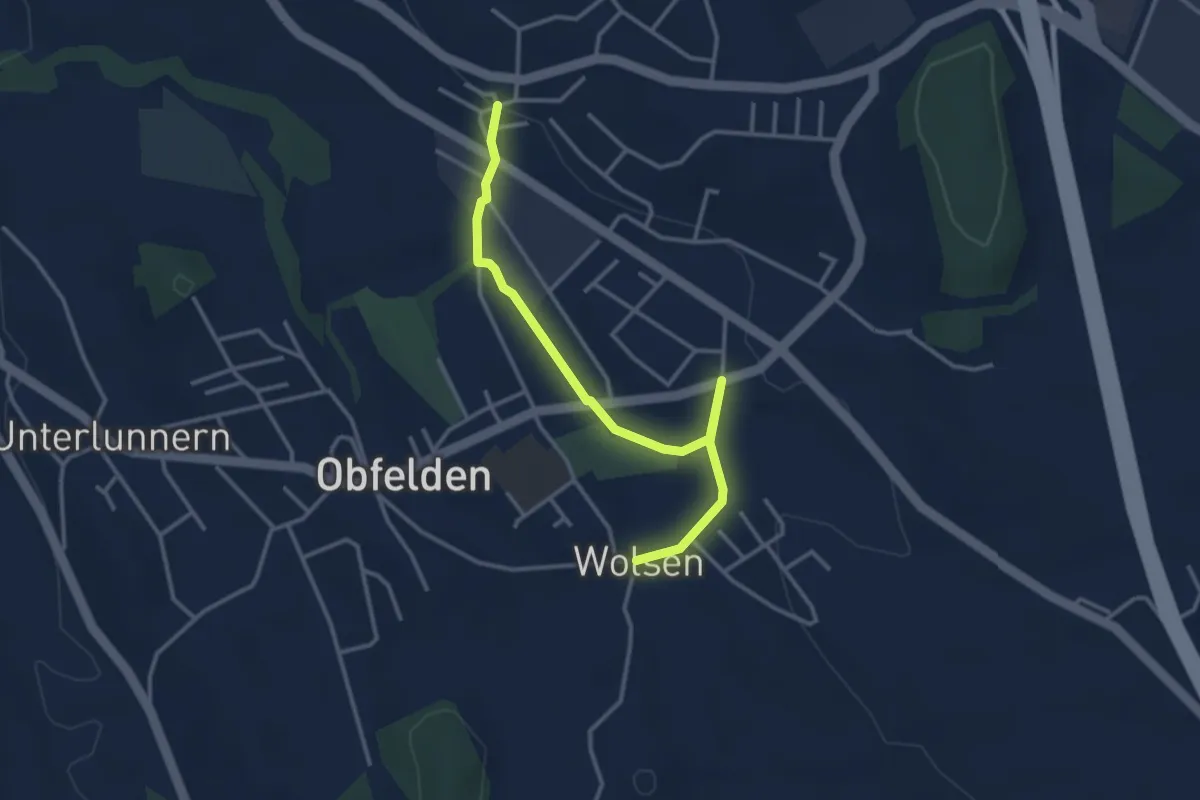
Easy · Trail
Bickwil - Wolsen
3.5 km · ↑ 27 m · 53 min · 13 km away
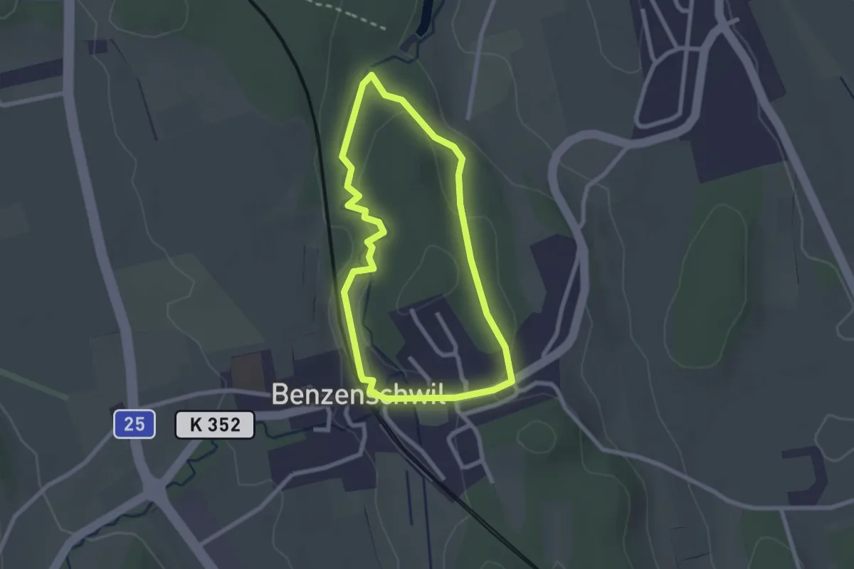
Easy · Trail
Kinderweg
2.1 km · ↑ 38 m · 37 min · 13 km away
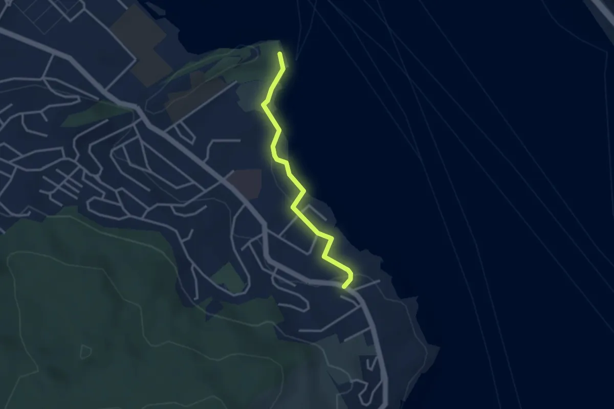
Easy · Trail
Stutz - Tribschen
2.6 km · ↑ 17 m · 39 min · 13 km away
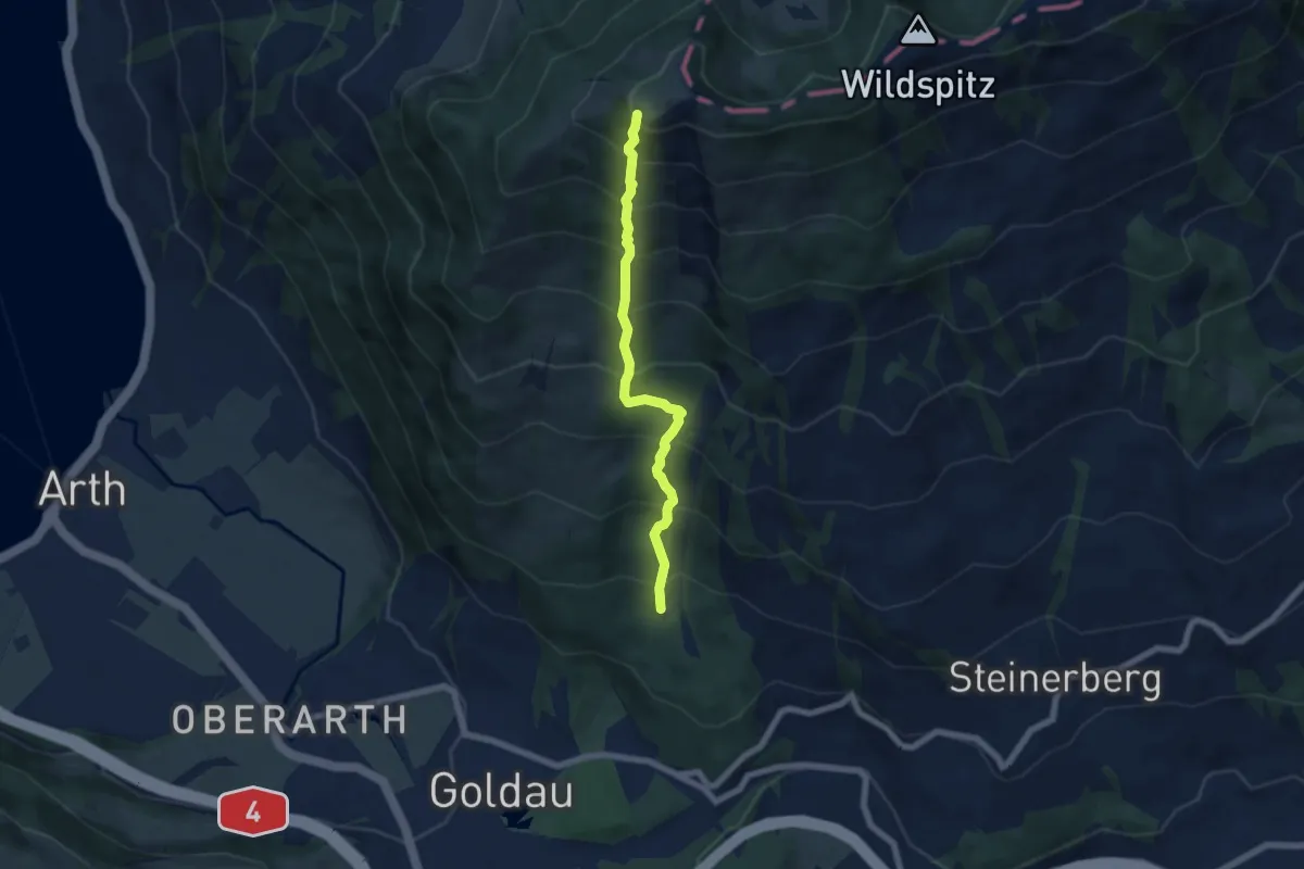
Demanding · Trail
Gnipen (West) – Schuttwald
5.7 km · ↑ 849 m · 3 h 11 min · 13 km away
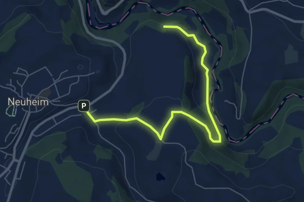
Easy · Trail
Sarbach - Sennweid
5.9 km · ↑ 190 m · 1 h 48 min · 13 km away
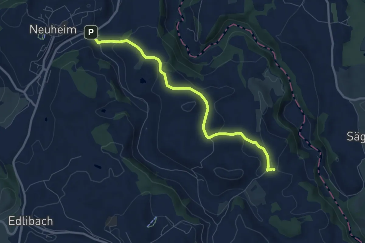
Easy · Trail
Sarbach - Schwand
7.4 km · ↑ 156 m · 2 h 5 min · 13 km away
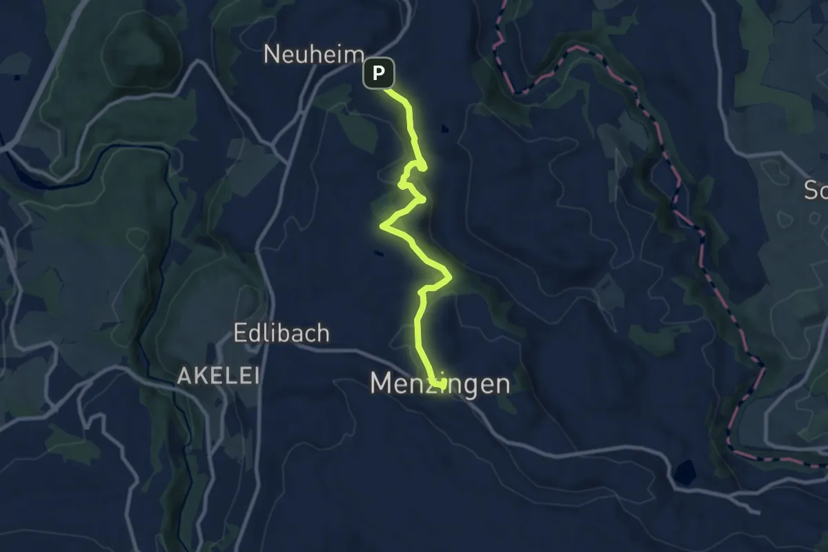
Medium · Trail
Menzingen - Sarbach
8.3 km · ↑ 190 m · 2 h 22 min · 13 km away
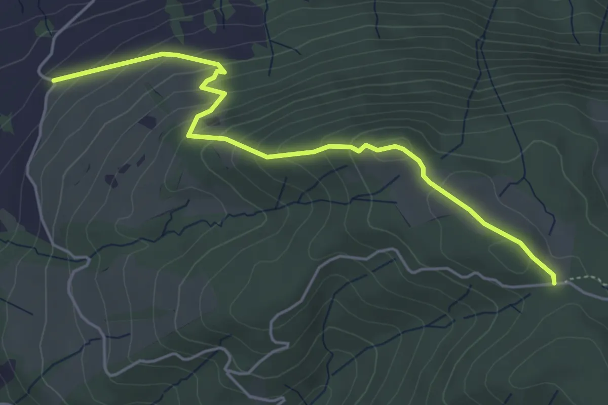
Easy · Trail
Rossallmig - Resti
4.9 km · ↑ 305 m · 1 h 49 min · 13 km away
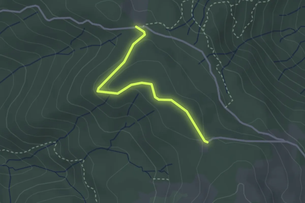
Easy · Trail
Cholerhütte - Rossallmig
2.5 km · ↑ 52 m · 43 min · 13 km away
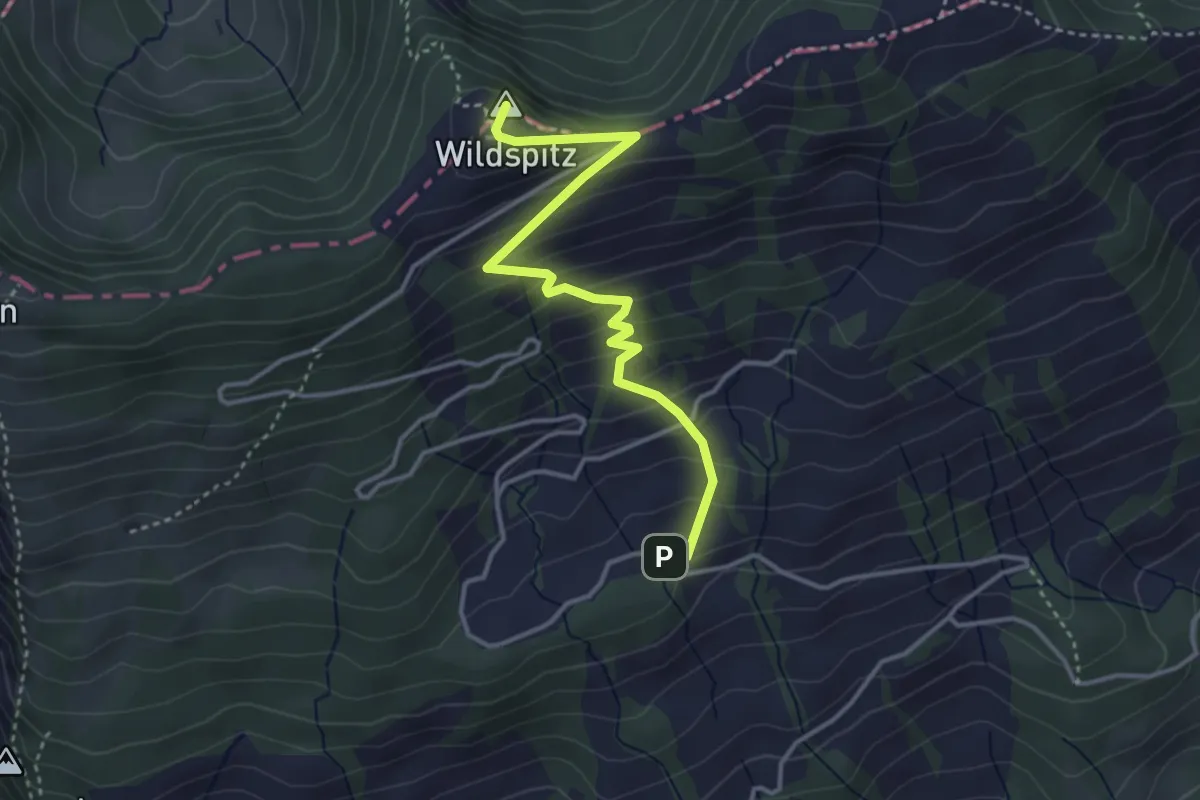
Medium · Summit
Obhegkapelle - Wildspitz
3.7 km · ↑ 323 m · 1 h 35 min · 13 km away
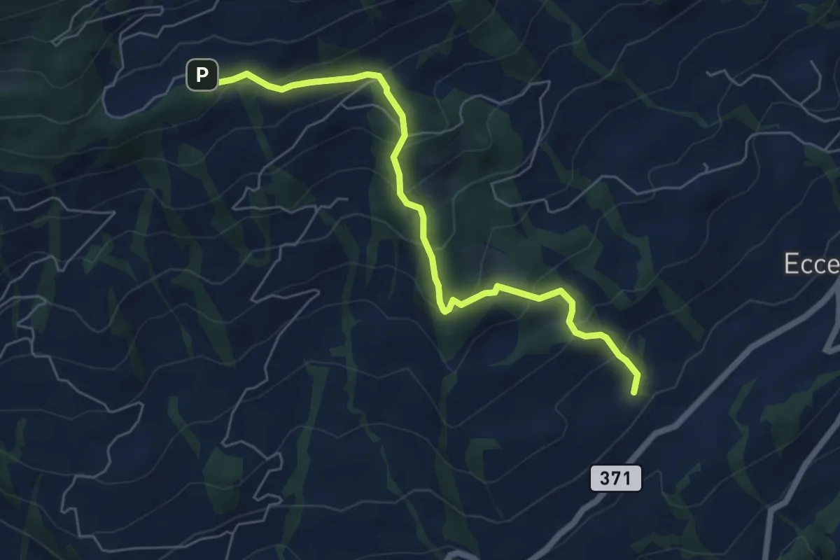
Medium · Trail
Obhegkapelle - Talacher? / Steinen? - fixme
6.0 km · ↑ 491 m · 2 h 29 min · 13 km away
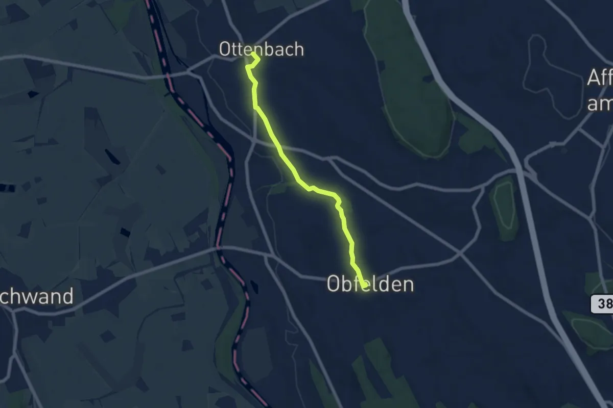
Easy · Trail
Ottenbach - Ober Lunnern
5.6 km · ↑ 32 m · 1 h 23 min · 13 km away
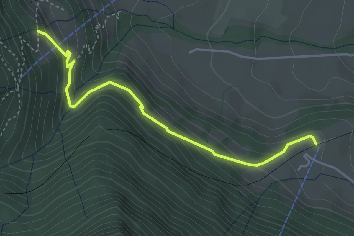
Medium · Trail
Dächli-Kräbel
3.5 km · ↑ 246 m · 1 h 22 min · 13 km away
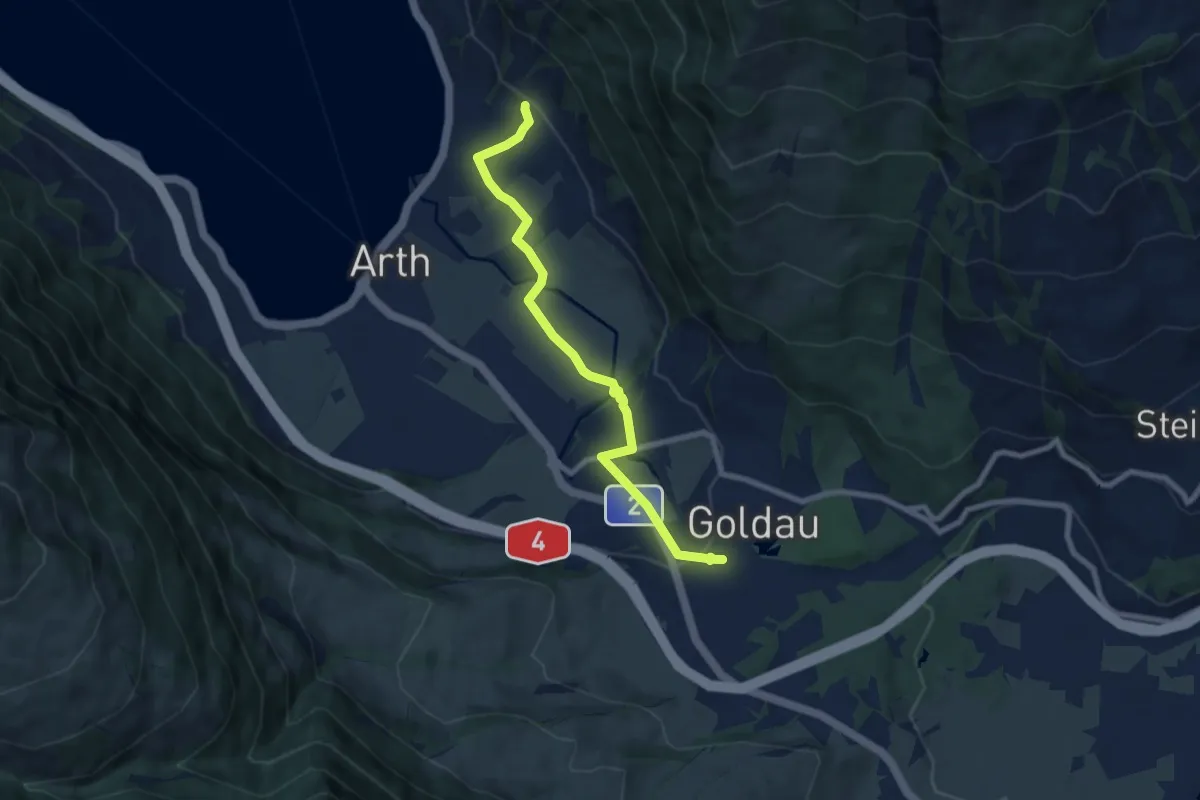
Easy · Trail
Goldau - Sunnenberg
7.6 km · ↑ 159 m · 2 h 9 min · 13 km away
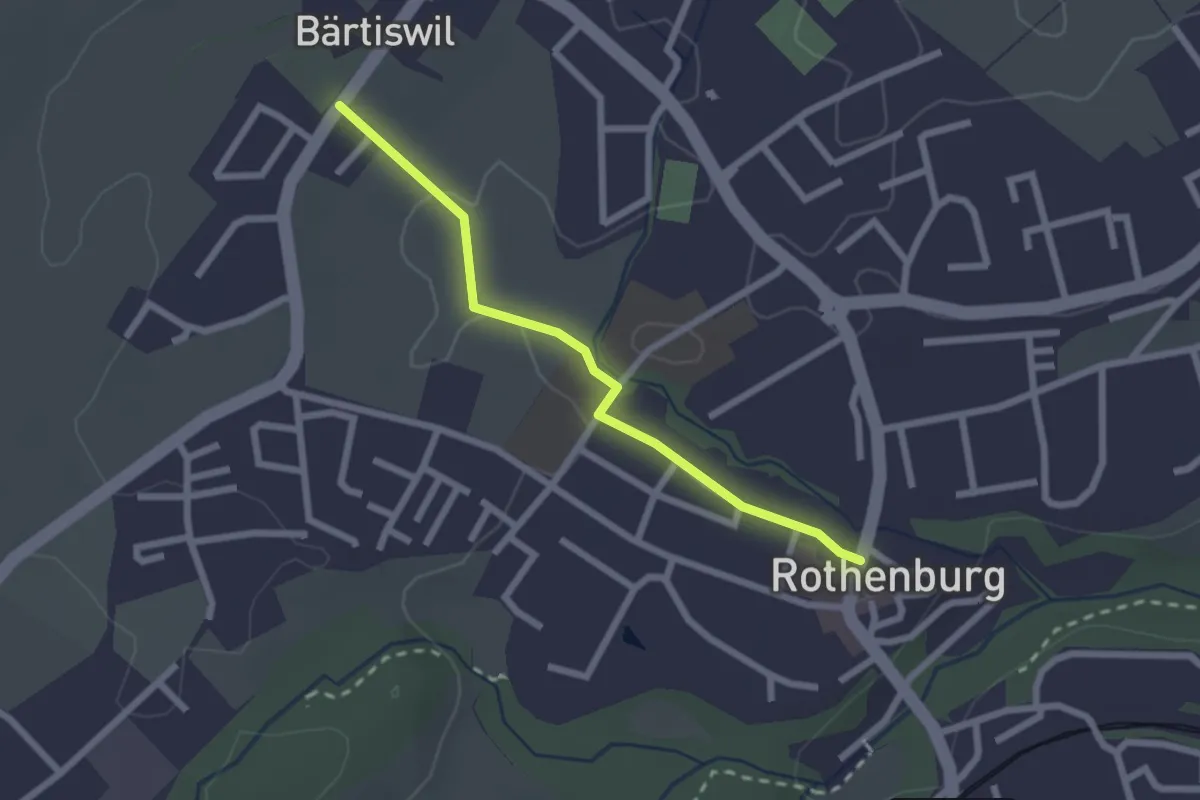
Easy · Trail
Bärtiswil - Rothenburg
2.2 km · ↑ 24 m · 34 min · 14 km away
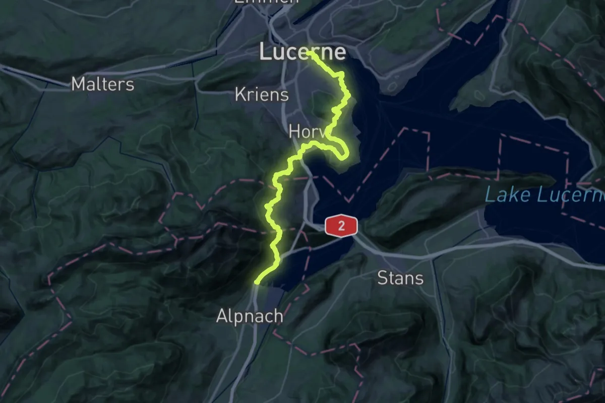
Demanding · Trail
Waldstätterweg - Etappe 4
20.8 km · ↑ 960 m · 7 h 16 min · 14 km away
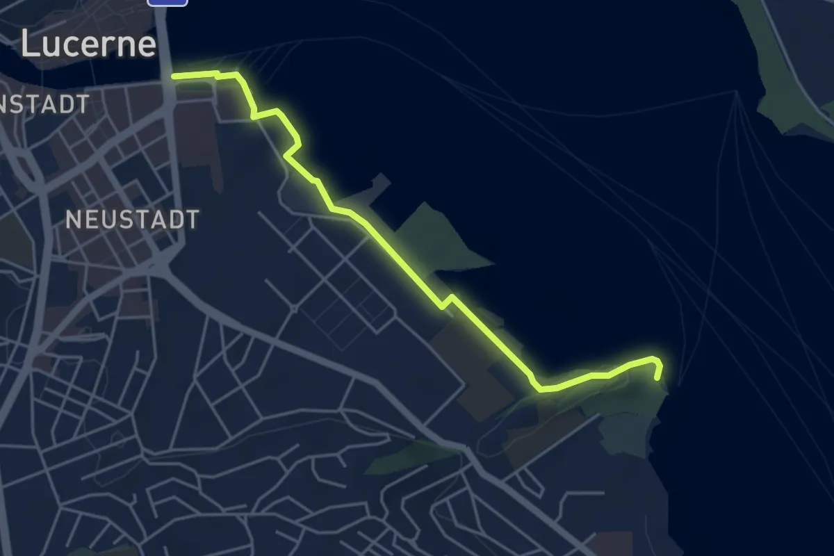
Easy · Trail
Luzern - Tribschen
4.6 km · ↑ 29 m · 1 h 8 min · 14 km away
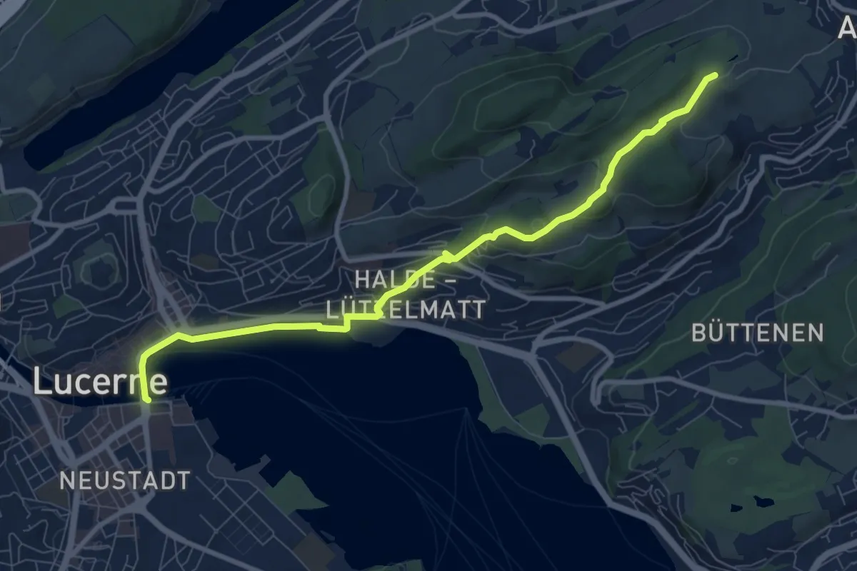
Medium · Trail
Luzern - Talacheri
8.9 km · ↑ 238 m · 2 h 37 min · 14 km away
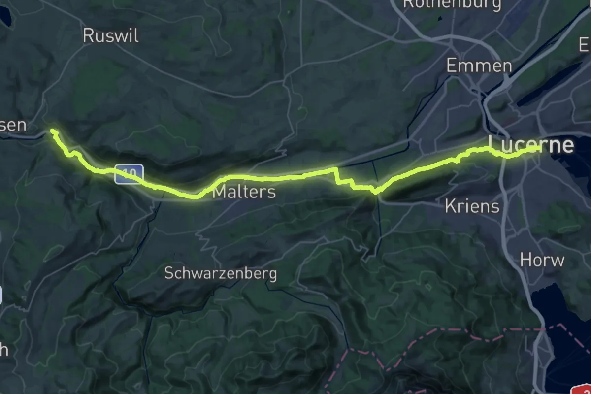
Demanding · Trail
ViaJacobi
18.9 km · ↑ 467 m · 5 h 40 min · 14 km away
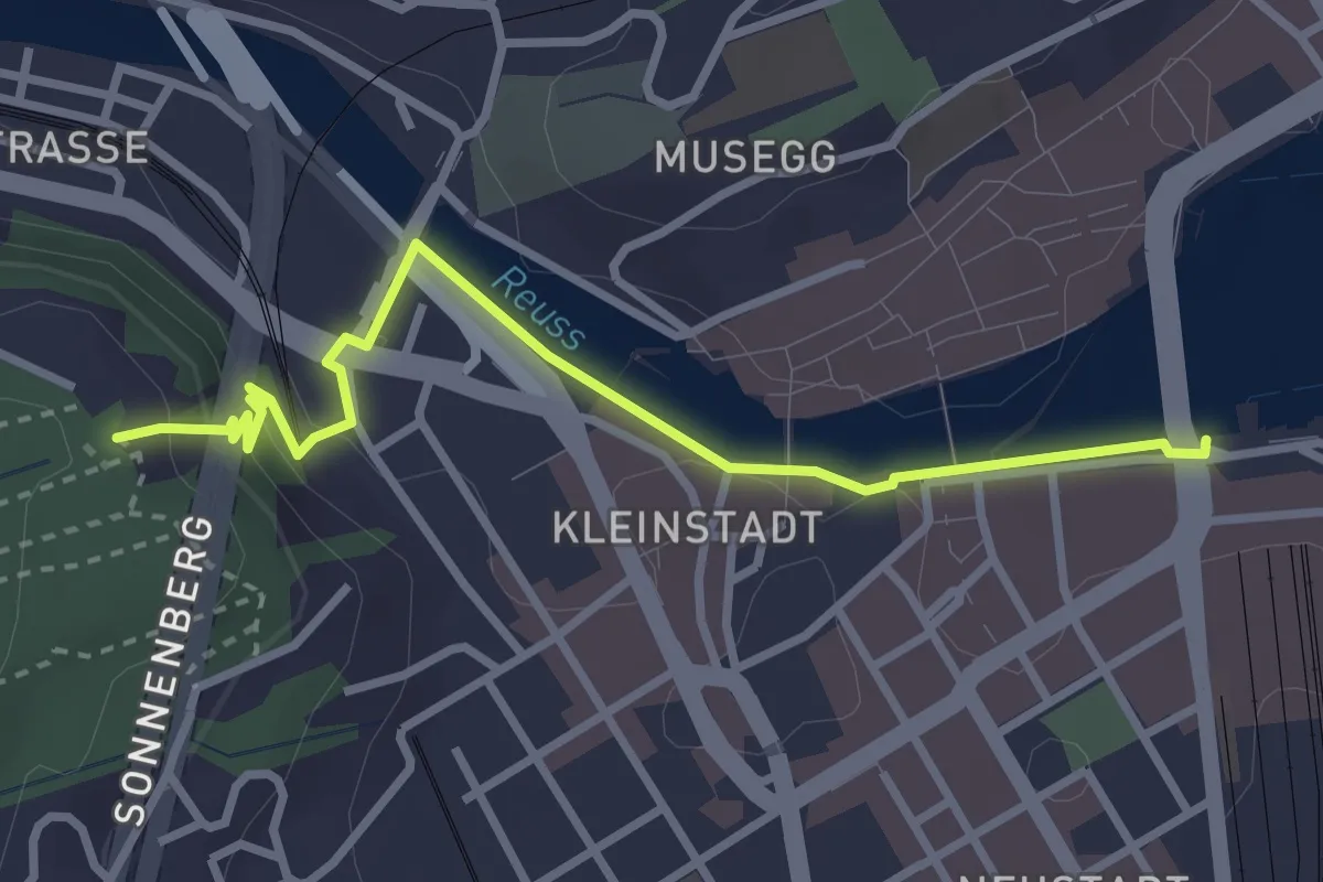
Easy · Trail
Luzern – Gütsch
3.3 km · ↑ 95 m · 58 min · 14 km away