Trails near Rotkreuz
648 hikes starting within 15 km, nearest first.
Nearest first, page 12 of 14
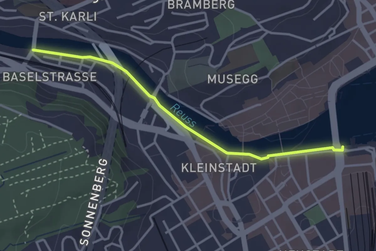
Easy · Trail
Luzern – St. Karli
3.0 km · ↑ 0 m · 43 min · 14 km away
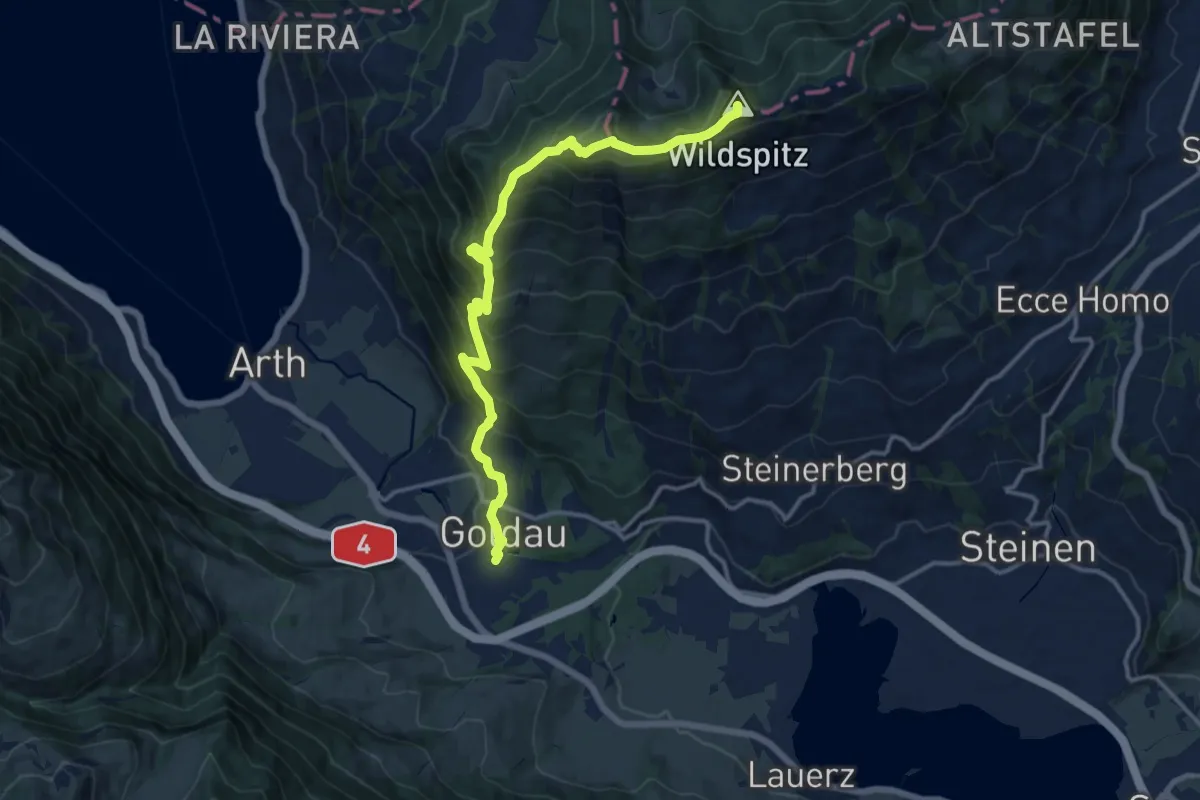
Demanding · Summit
Schwyzer Höhenweg - Etappe 3
14.1 km · ↑ 1207 m · 5 h 57 min · 14 km away
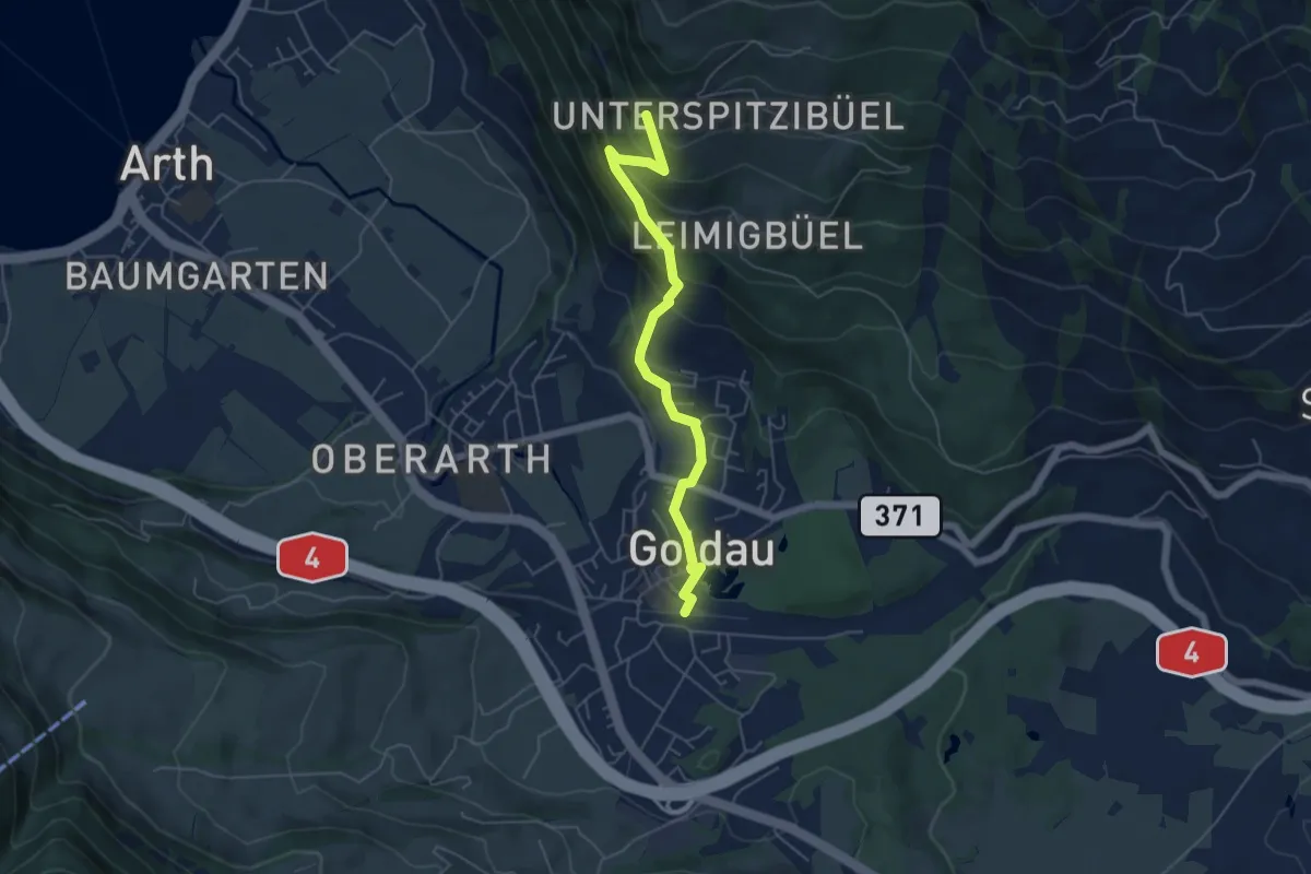
Medium · Trail
Goldau – Härzigwald
5.2 km · ↑ 360 m · 2 h 1 min · 14 km away
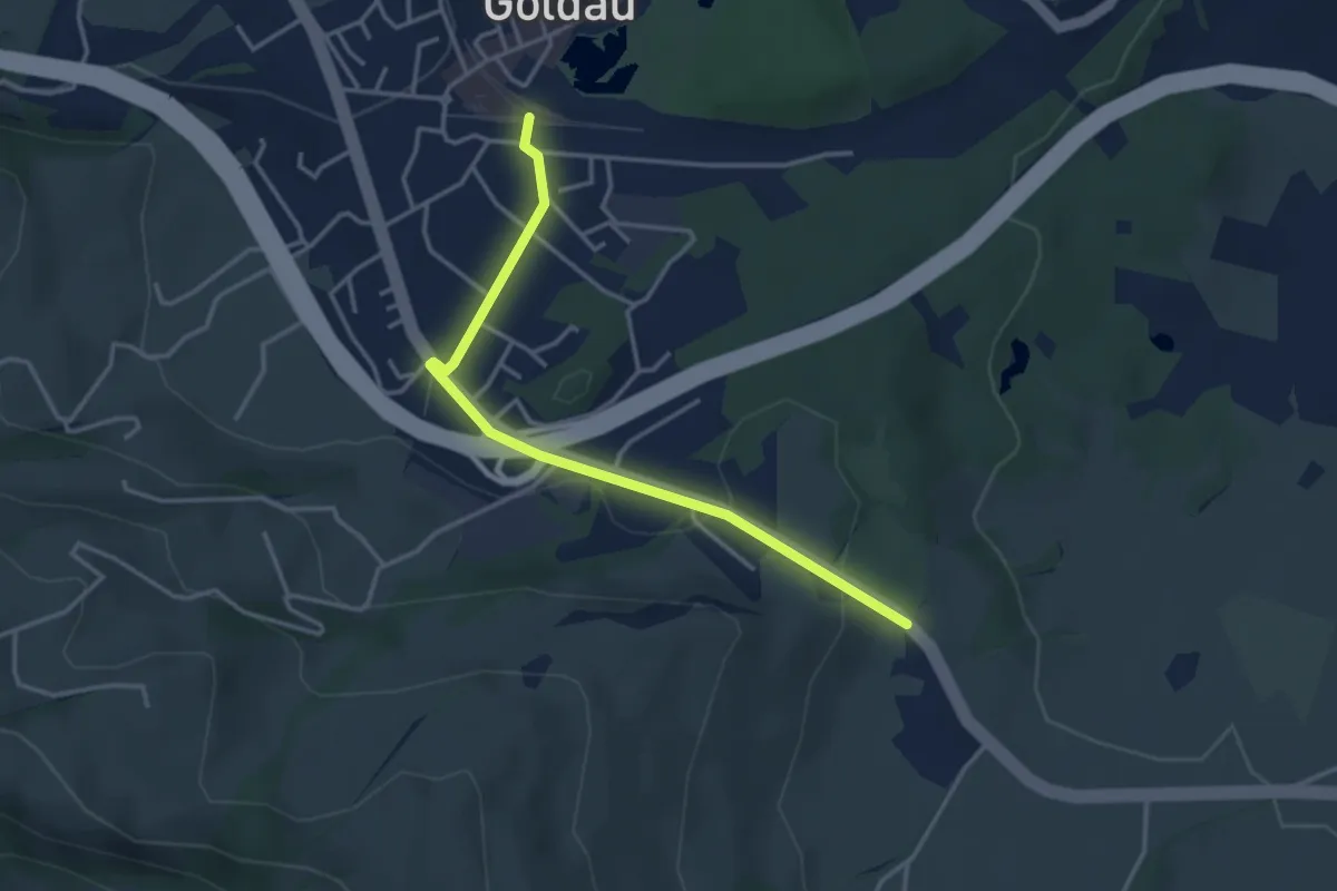
Easy · Trail
Goldau – Bernerhöchi / Summerau
3.6 km · ↑ 68 m · 1 h · 14 km away
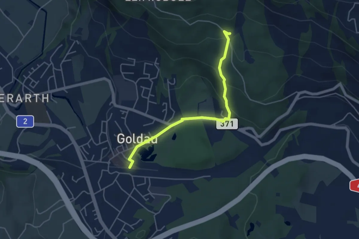
Medium · Trail
Schuttwald – Goldau
3.8 km · ↑ 156 m · 1 h 15 min · 14 km away
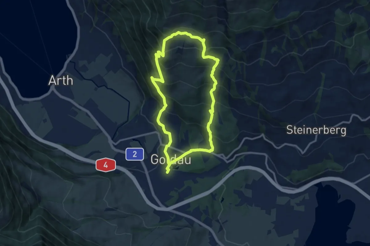
Demanding · Trail
Goldauer Bergsturzspur
15.5 km · ↑ 1156 m · 6 h 10 min · 14 km away
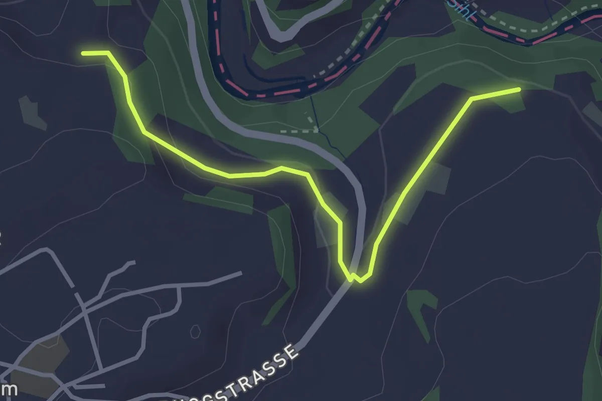
Easy · Trail
Sennweid - Neuhaus
3.0 km · ↑ 84 m · 54 min · 14 km away
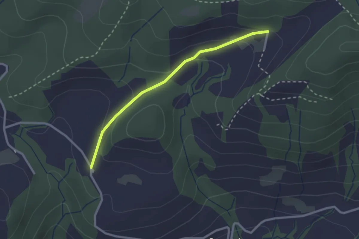
Easy · Trail
Hintertann – Hinterschneit
2.1 km · ↑ 98 m · 43 min · 14 km away
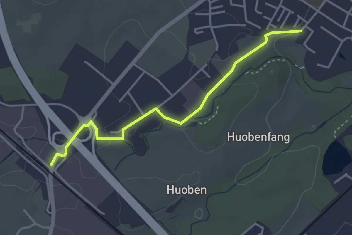
Easy · Trail
Rothenburg Station - Huobenfangstrasse
3.3 km · ↑ 22 m · 50 min · 14 km away
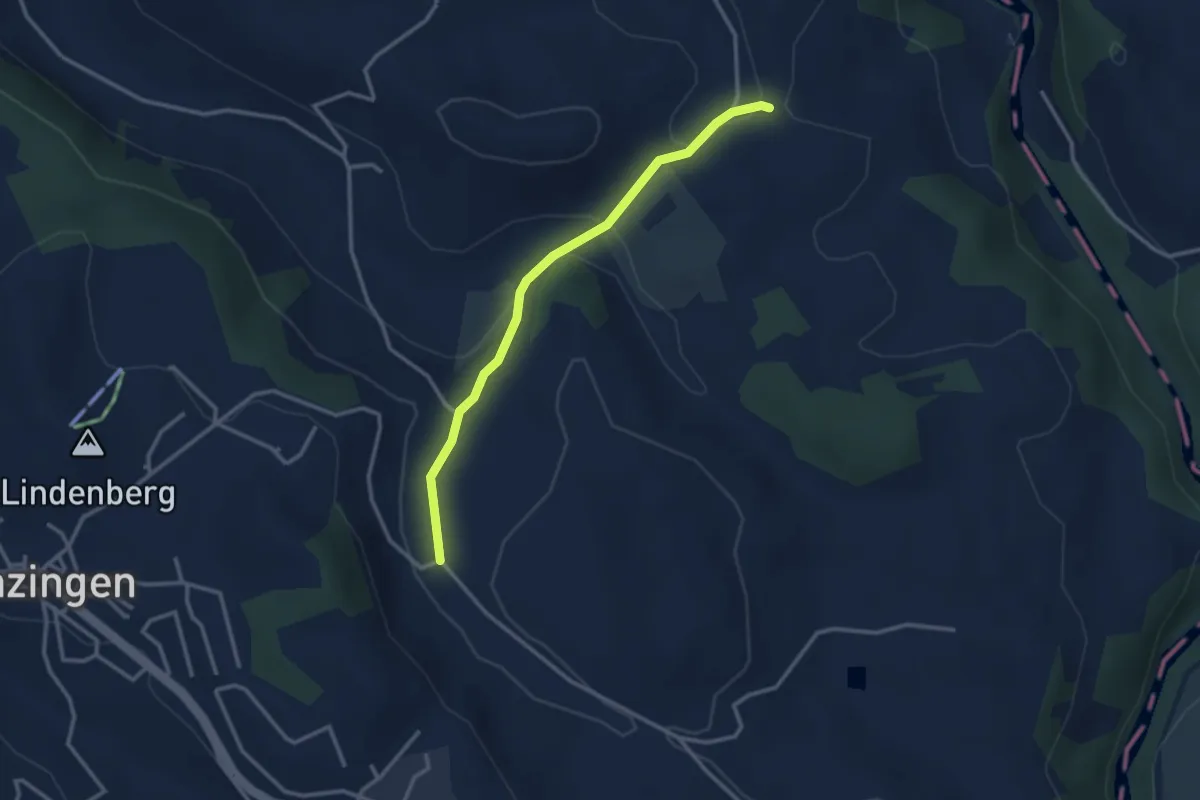
Easy · Trail
Schwand - Brättigen
2.9 km · ↑ 85 m · 52 min · 14 km away
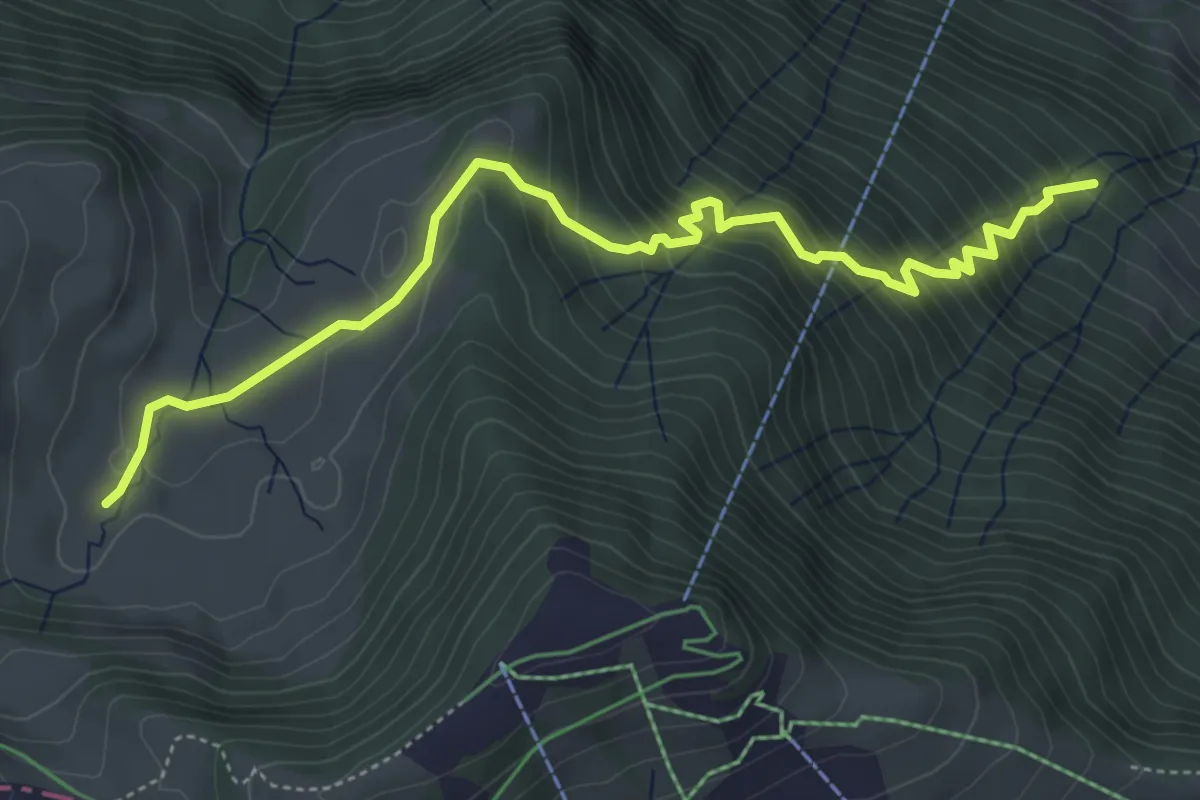
Medium · Trail
Ochsenchneu - Rotenflue Allmig
5.5 km · ↑ 573 m · 2 h 32 min · 14 km away
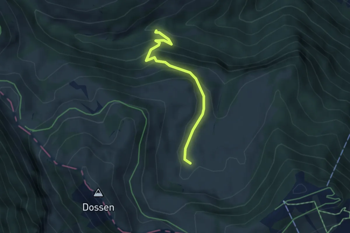
Easy · Trail
Fruttli -Rotenflue Allmig
3.4 km · ↑ 263 m · 1 h 22 min · 14 km away
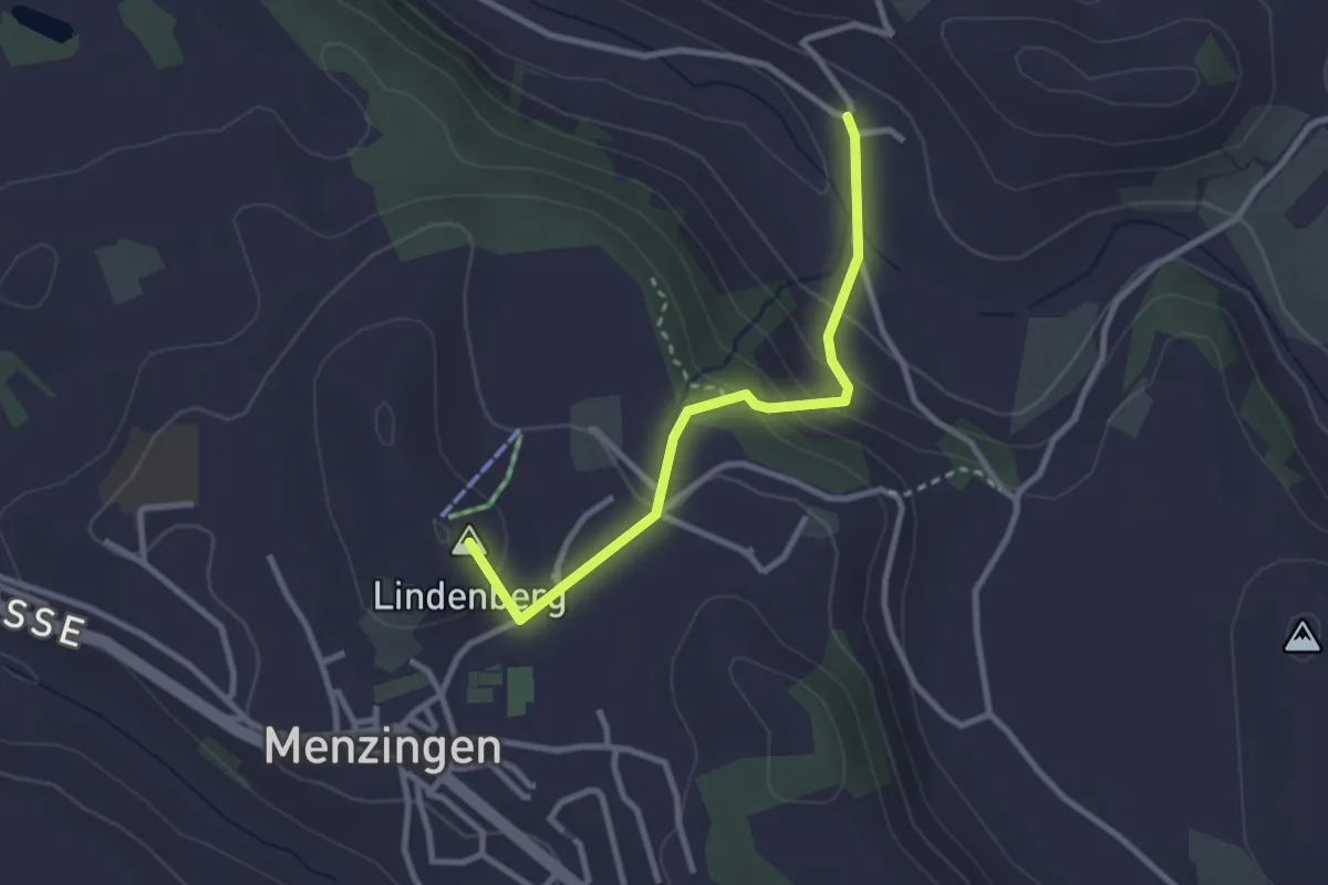
Easy · Summit
Winzwilen - Menzingen
2.7 km · ↑ 152 m · 57 min · 14 km away
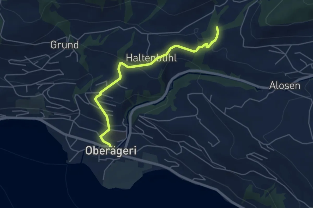
Easy · Trail
Chefibach – Oberägeri
4.3 km · ↑ 181 m · 1 h 24 min · 14 km away
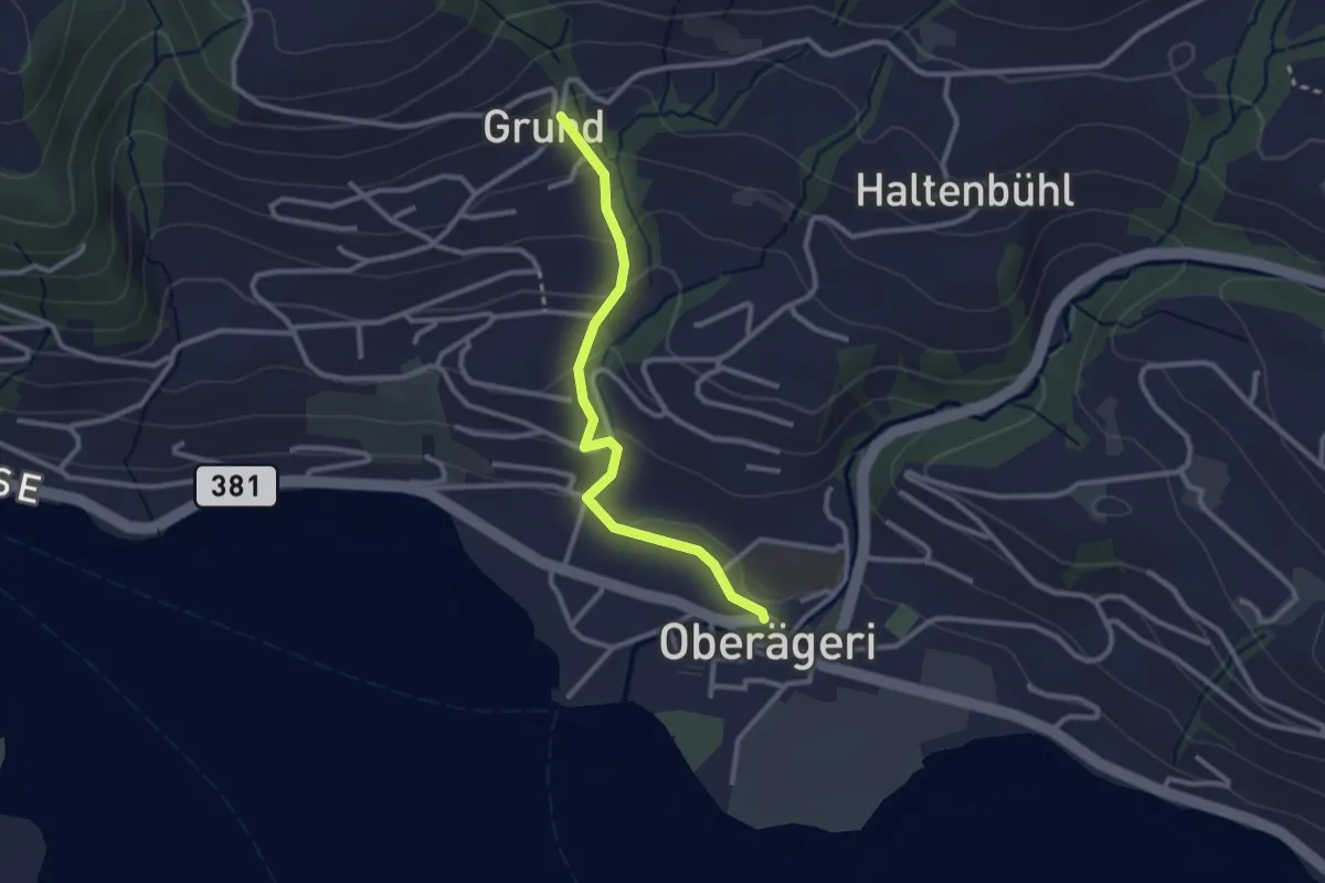
Easy · Trail
Grund - Oberägeri
2.6 km · ↑ 117 m · 52 min · 14 km away
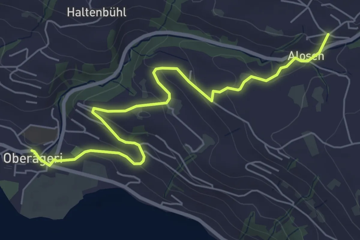
Easy · Trail
Alosen - Oberägeri
6.3 km · ↑ 175 m · 1 h 53 min · 14 km away
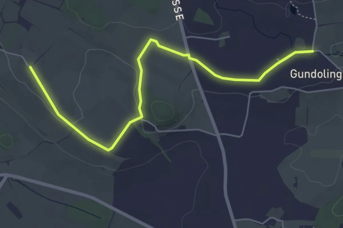
Easy · Trail
St.Anna - Gundolinge
5.3 km · ↑ 39 m · 1 h 20 min · 14 km away
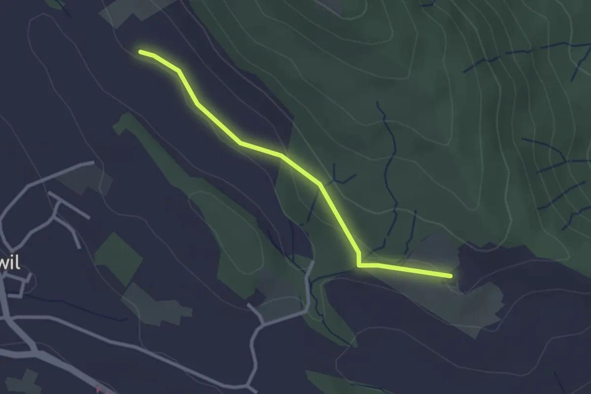
Easy · Trail
Schweikhof – Husertal
2.4 km · ↑ 58 m · 42 min · 14 km away
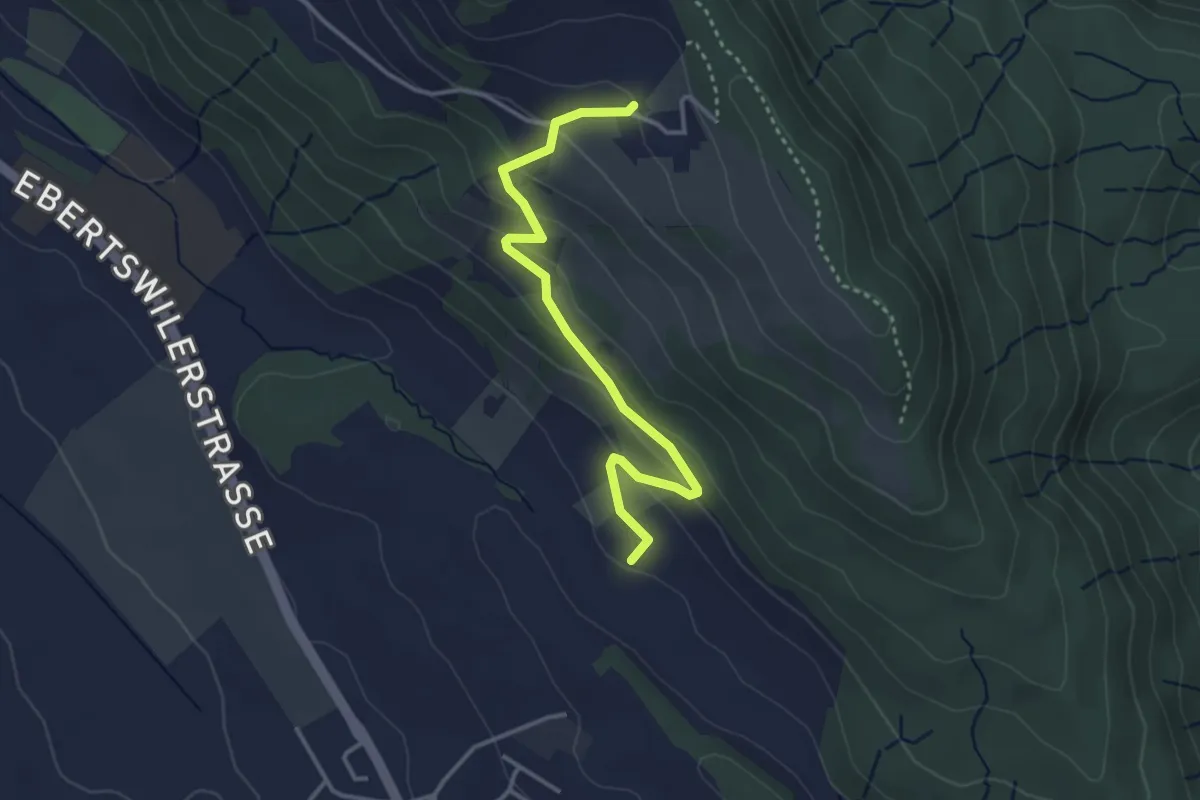
Easy · Trail
Husertal – Ober Albis
3.5 km · ↑ 154 m · 1 h 9 min · 14 km away
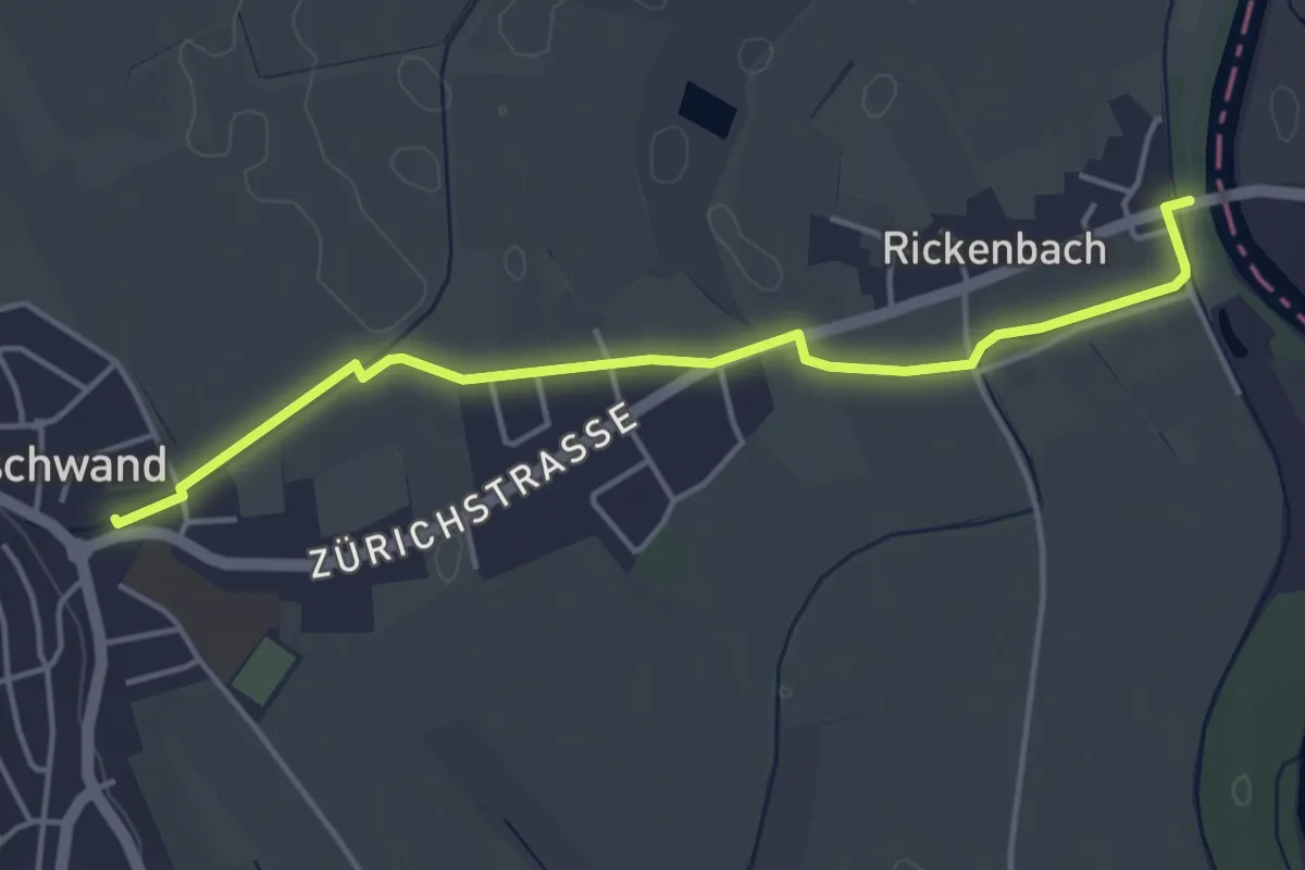
Easy · Trail
Merenschwand - Brücke Rickenbach
4.4 km · ↑ 9 m · 1 h 3 min · 14 km away
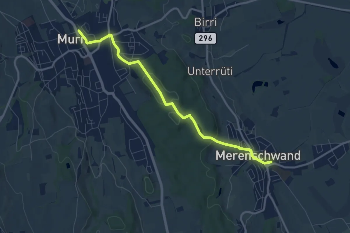
Easy · Trail
Muri - Merenschwand
7.9 km · ↑ 171 m · 2 h 15 min · 14 km away
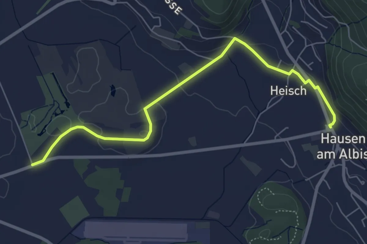
Easy · Trail
Seleger Moor – Hausen a. A.
5.9 km · ↑ 90 m · 1 h 35 min · 14 km away
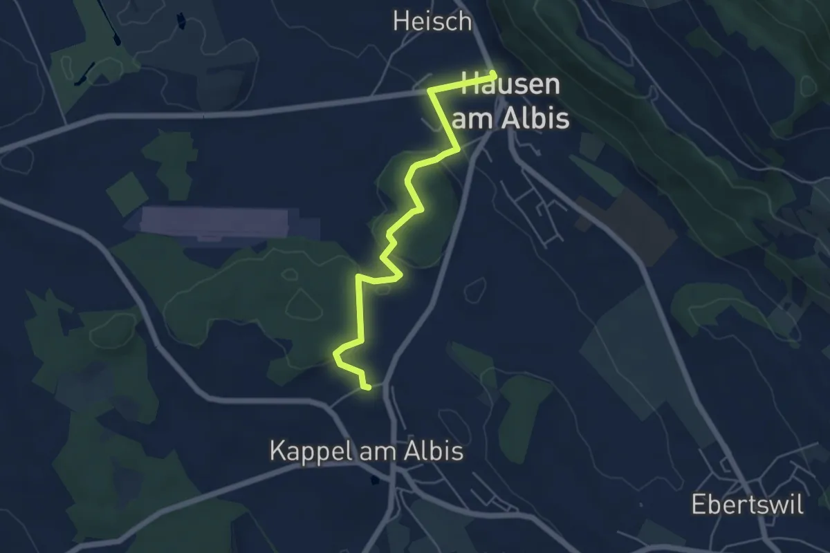
Easy · Trail
Hausen a. A. – Näfenhüser
4.9 km · ↑ 95 m · 1 h 22 min · 14 km away
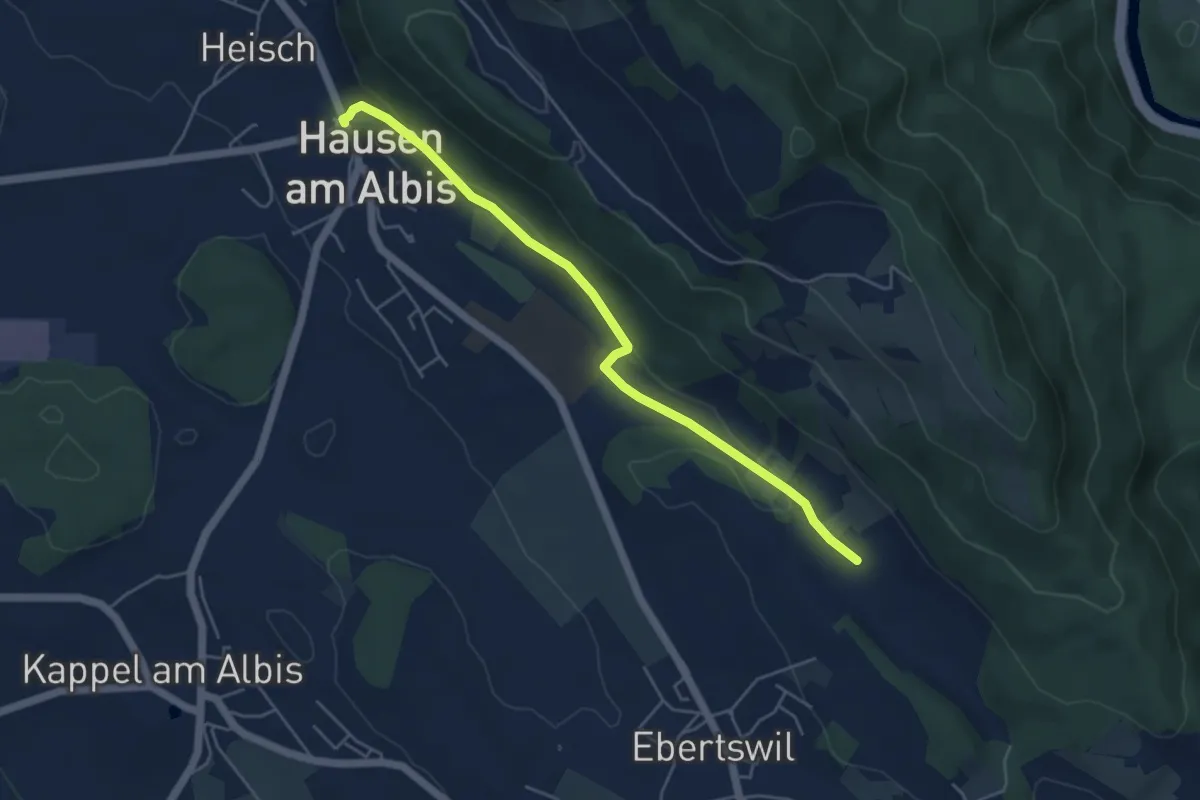
Easy · Trail
Husertal – Hausen a. A.
4.9 km · ↑ 88 m · 1 h 21 min · 14 km away
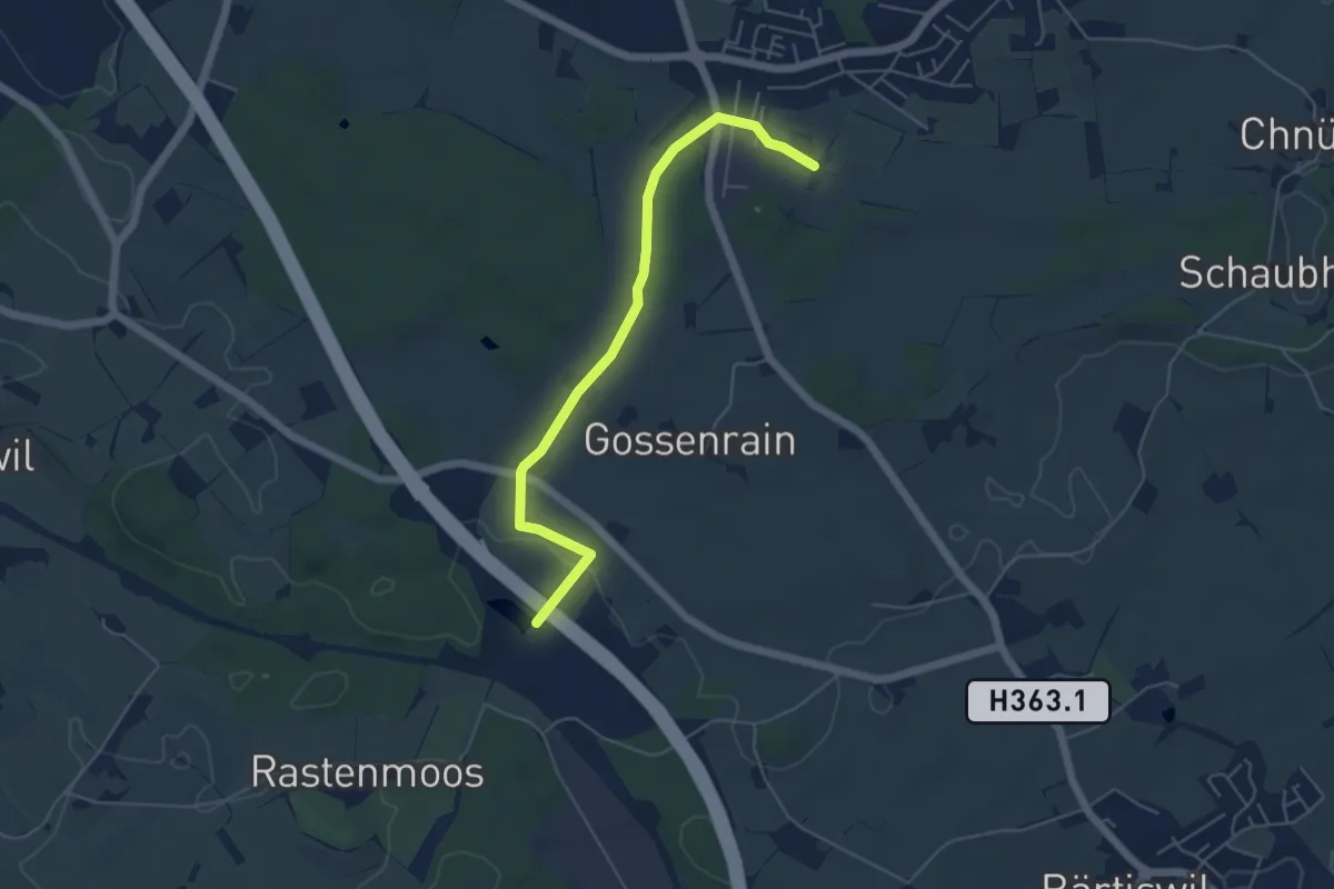
Easy · Trail
Büel - Bürlimoos
5.2 km · ↑ 55 m · 1 h 21 min · 14 km away
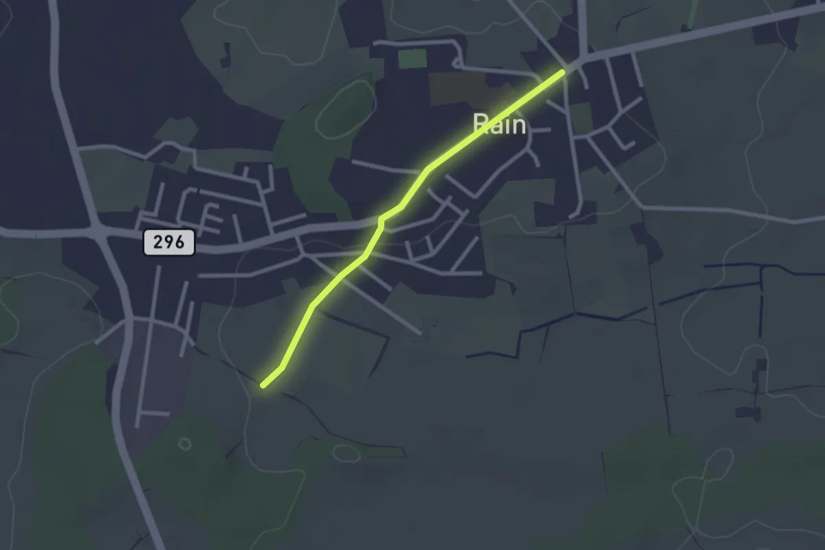
Easy · Trail
Rain - Büel
2.2 km · ↑ 10 m · 32 min · 14 km away
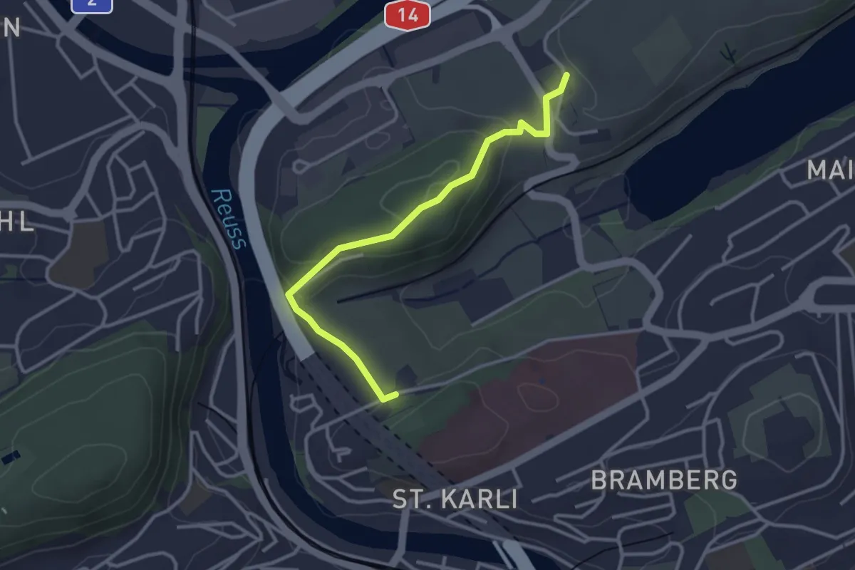
Easy · Trail
Friedental - Sädel
3.1 km · ↑ 109 m · 58 min · 14 km away
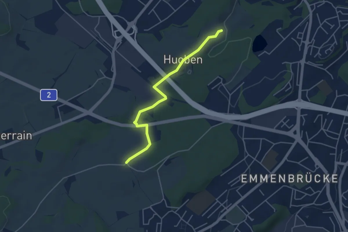
Easy · Trail
Huobenfang - Büelmatt
4.0 km · ↑ 18 m · 58 min · 14 km away
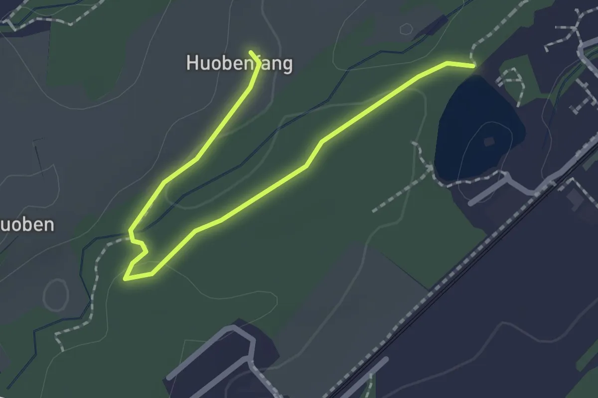
Easy · Trail
Huobenfang - Riffigweier
2.2 km · ↑ 27 m · 35 min · 14 km away
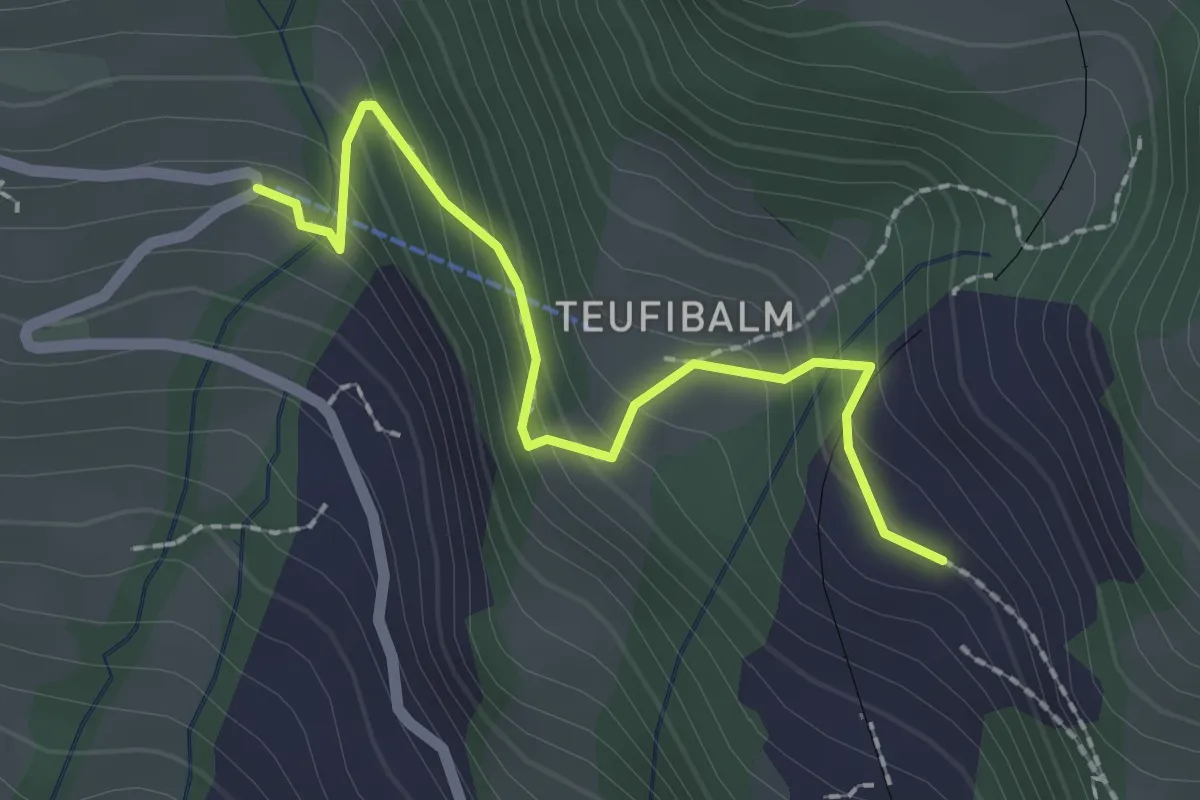
Easy · Trail
Langwilen – Schwanden
2.1 km · ↑ 216 m · 57 min · 14 km away
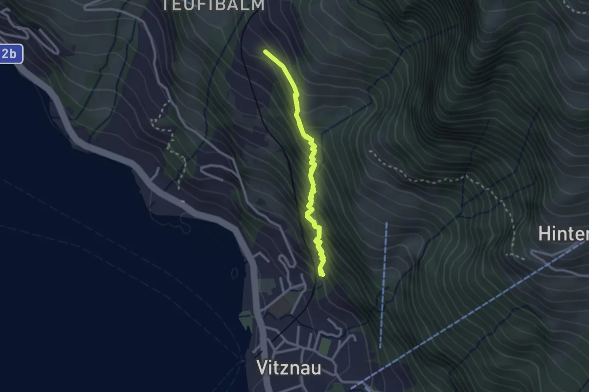
Medium · Trail
Vitznau Dorf – Schwanden
4.2 km · ↑ 502 m · 2 h 5 min · 14 km away
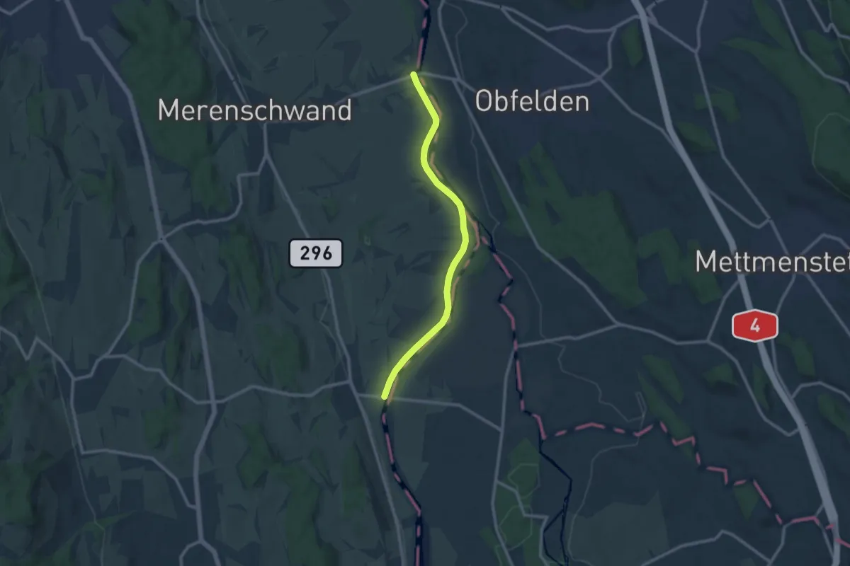
Medium · Trail
Brücke Rickenbach - Brücke Mühlau
9.4 km · ↑ 58 m · 2 h 21 min · 14 km away
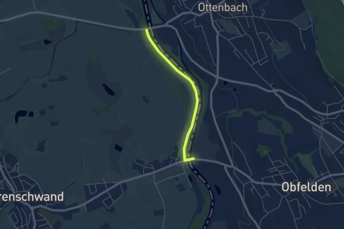
Easy · Trail
Brücke Ottenbach - Brücke Rickenbach
4.0 km · ↑ 0 m · 56 min · 14 km away
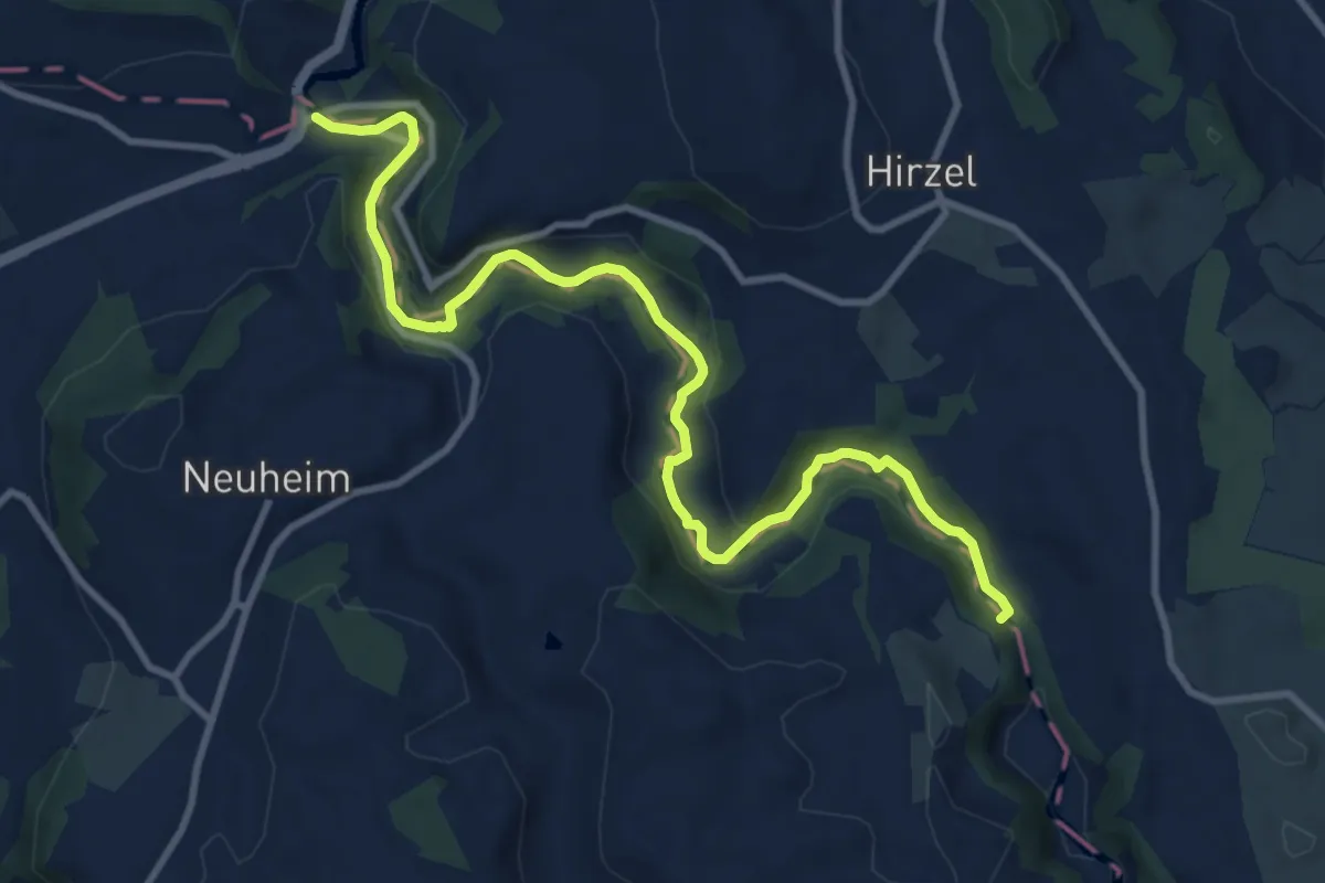
Medium · Trail
Sihlbrugg Dorf – Sihlsprung
11.5 km · ↑ 199 m · 3 h 9 min · 14 km away
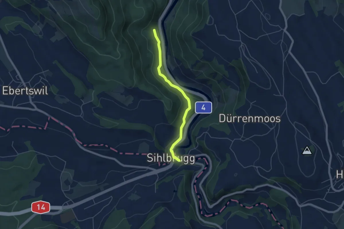
Easy · Trail
Eschentobel – Sihlbrugg Dorf
4.5 km · ↑ 115 m · 1 h 19 min · 14 km away
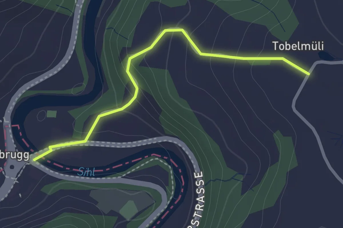
Easy · Trail
Sihlbrugg Dorf – Tobelmüli
2.2 km · ↑ 110 m · 45 min · 14 km away
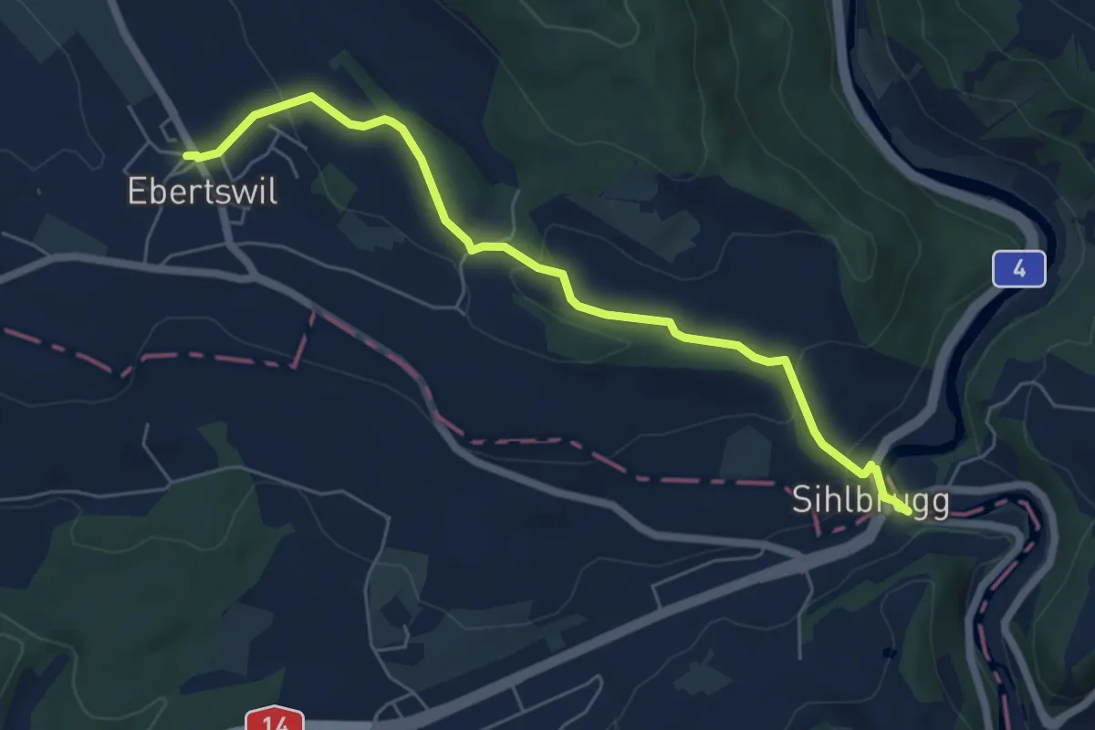
Easy · Trail
Ebertswil – Sihlbrugg Dorf
6.1 km · ↑ 197 m · 1 h 52 min · 14 km away
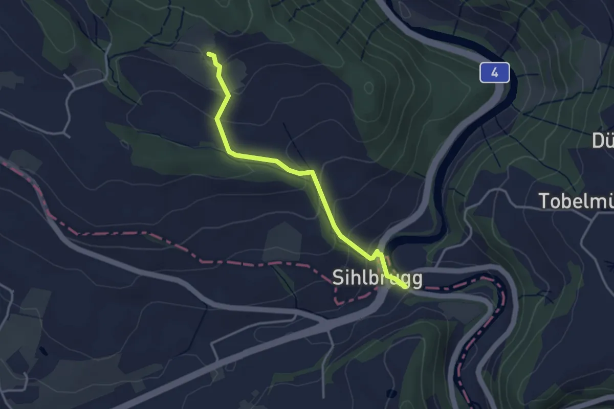
Easy · Trail
Schweikhof – Sihlbrugg Dorf
3.1 km · ↑ 147 m · 1 h 3 min · 14 km away
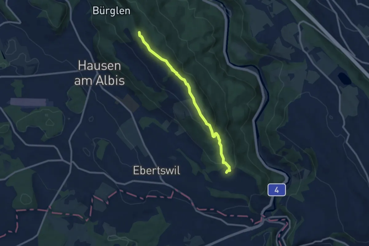
Easy · Summit
Albishorn – Schweikhof
7.4 km · ↑ 318 m · 2 h 26 min · 14 km away
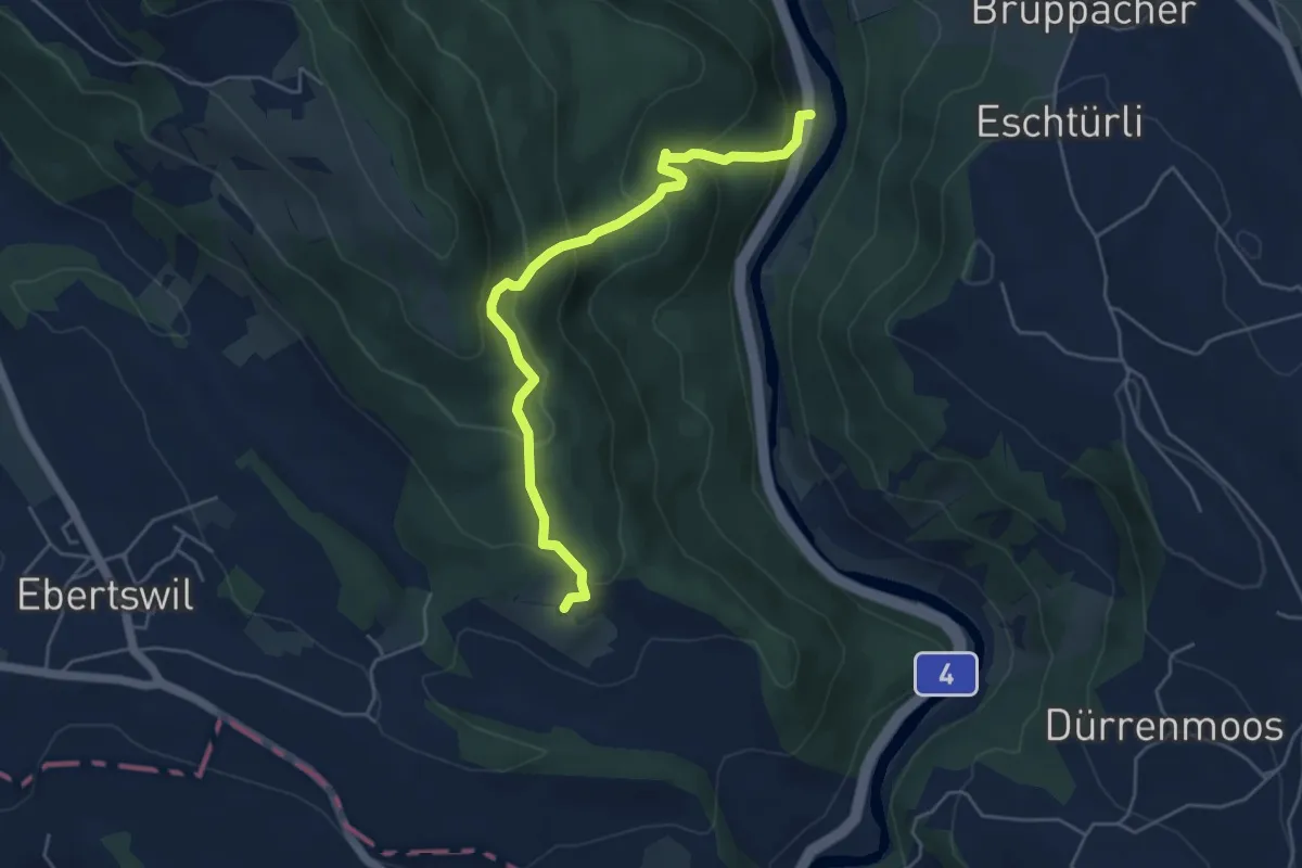
Medium · Trail
Schweikhof – Stn. Sihlbrugg
5.0 km · ↑ 368 m · 1 h 59 min · 14 km away
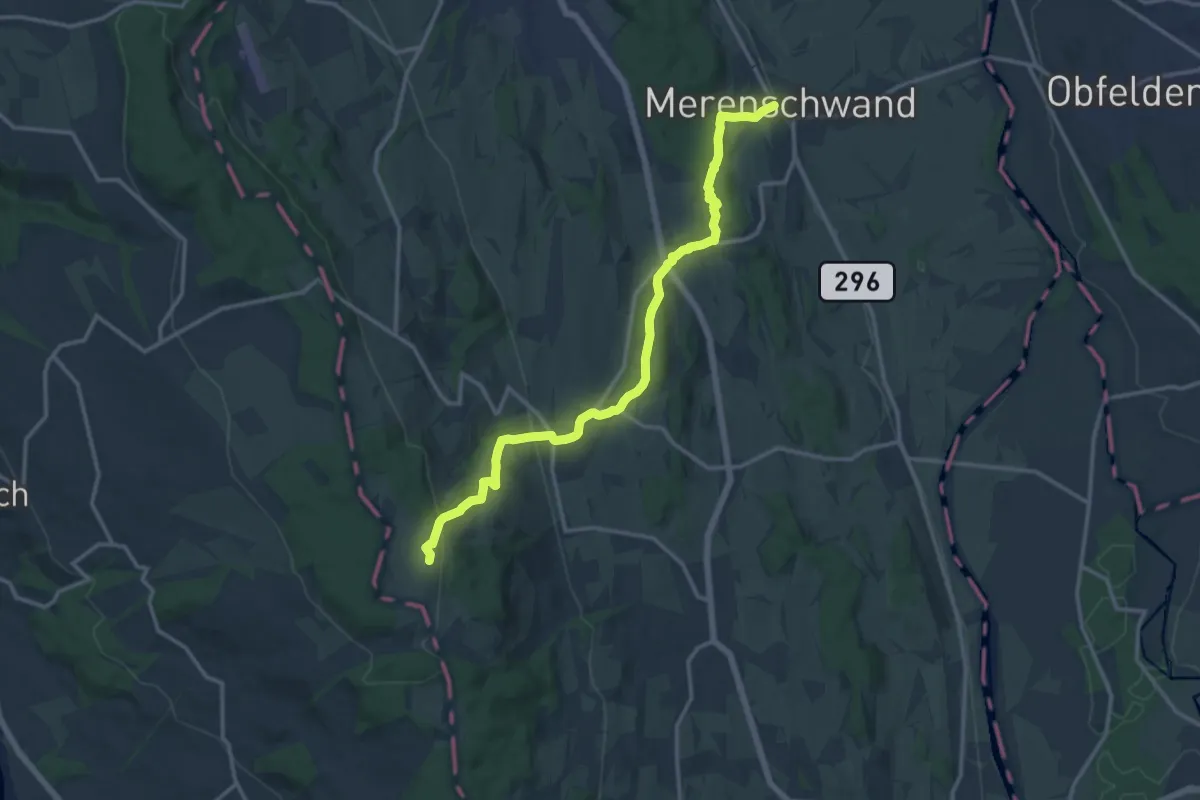
Medium · Trail
Merenschwand – Horben
14.7 km · ↑ 461 m · 4 h 29 min · 14 km away
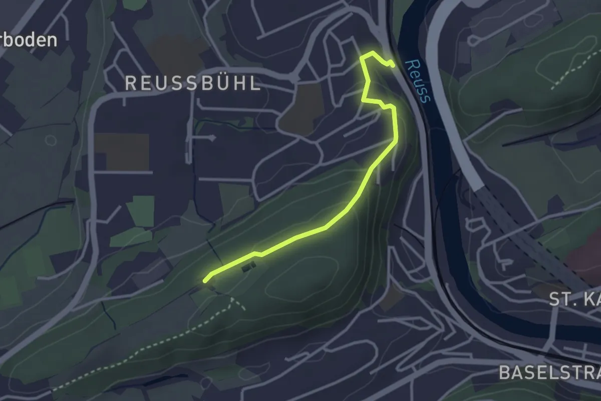
Easy · Trail
Zimmeregg – Reusbühl Alte Fähre
2.8 km · ↑ 119 m · 55 min · 14 km away
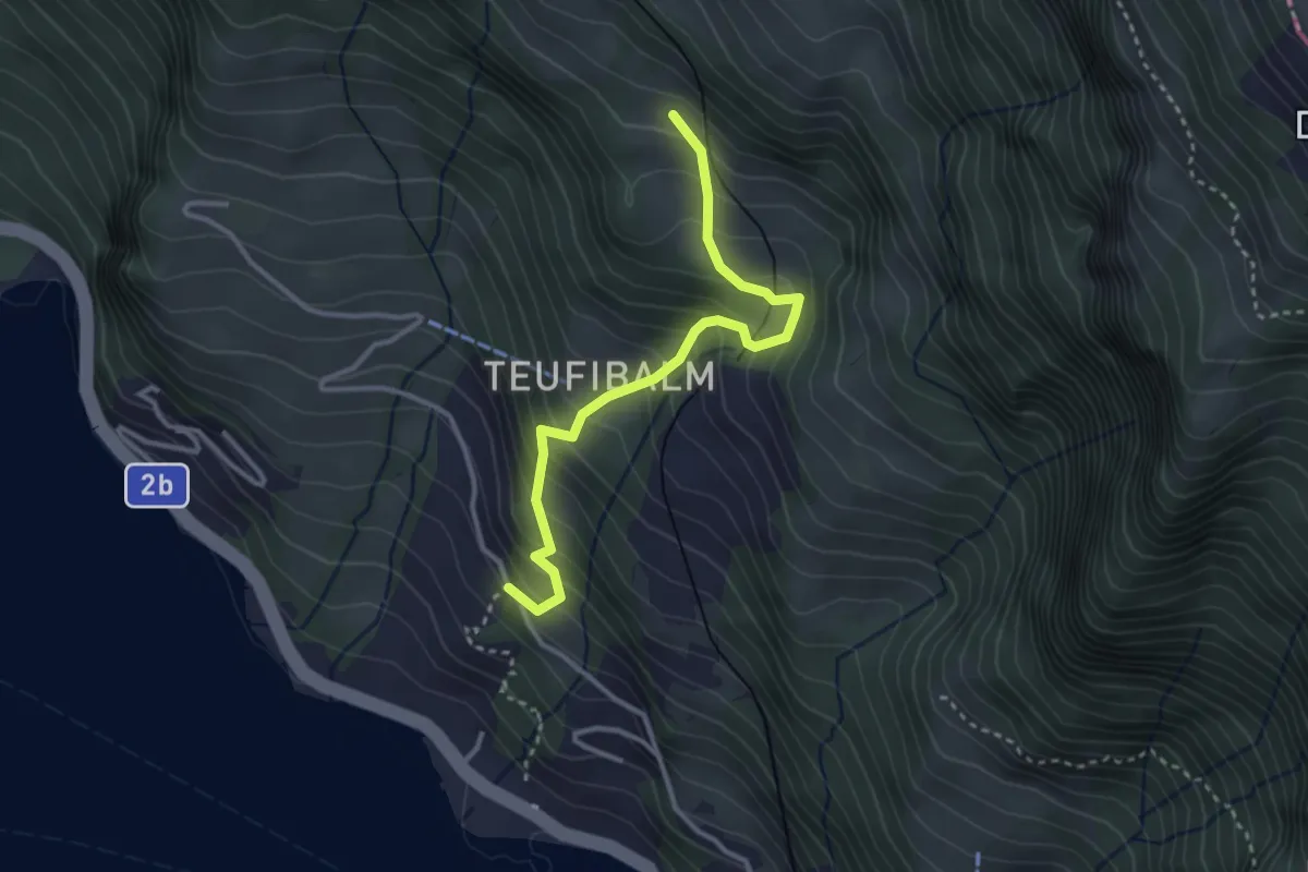
Medium · Trail
Äbnet – Grubisbalm
3.1 km · ↑ 364 m · 1 h 32 min · 14 km away
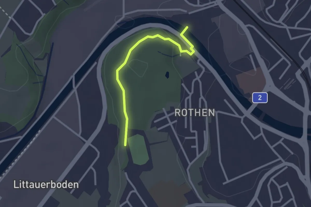
Easy · Trail
Rothen – Viscose
2.2 km · ↑ 50 m · 38 min · 14 km away
Easy · Trail
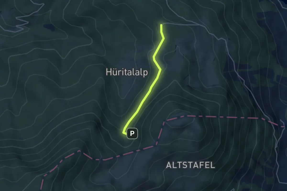
Cholerhütte - Geissfaren
2.9 km · ↑ 105 m · 55 min · 14 km away
Easy · Trail
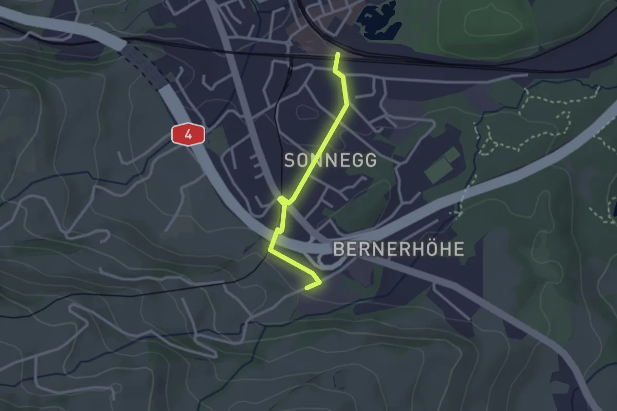
Parkplatz A4 – Goldau
2.3 km · ↑ 48 m · 38 min · 14 km away
Easy · Trail
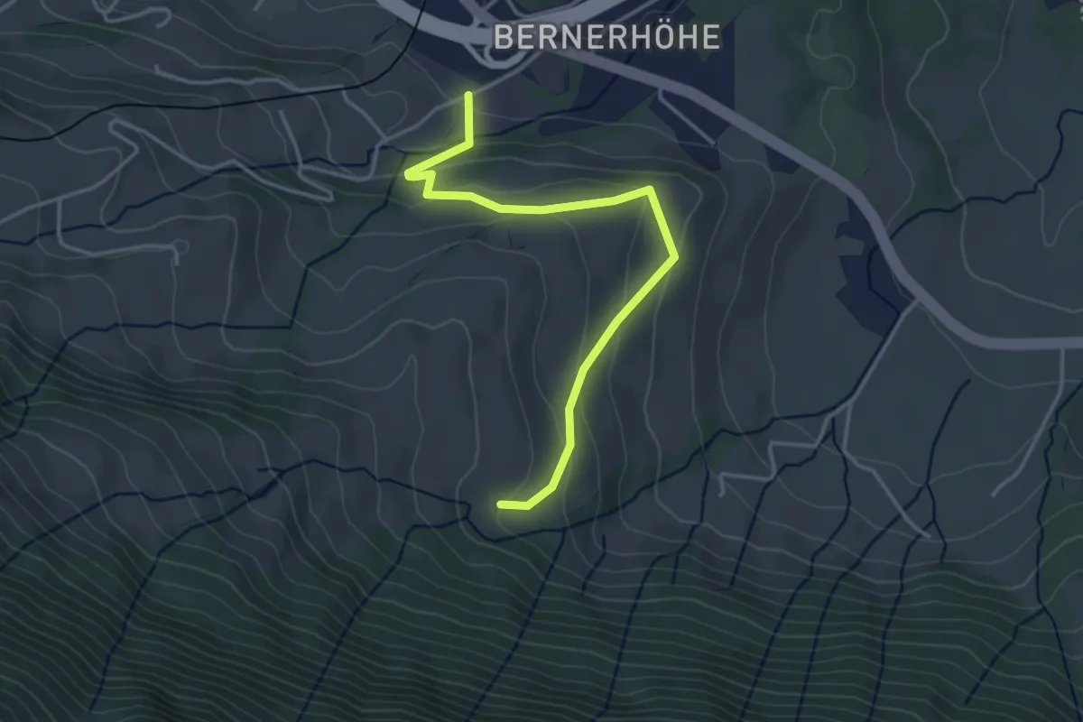
Parkplatz A4 - Truben
3.7 km · ↑ 205 m · 1 h 20 min · 14 km away
Medium · Trail
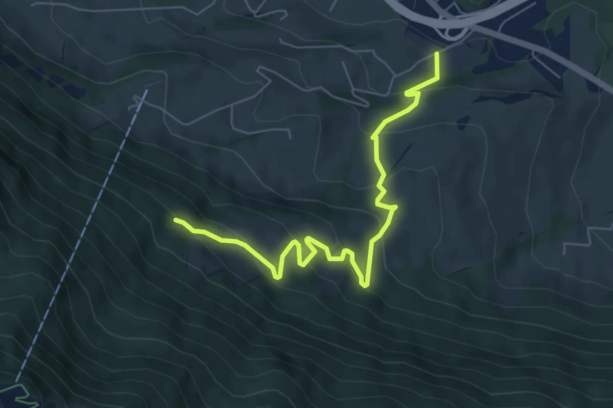
Parkplatz A4 - Ochsenchneu
6.1 km · ↑ 414 m · 2 h 21 min · 14 km away