Trails near Rotkreuz
648 hikes starting within 15 km, nearest first.
Nearest first, page 13 of 14
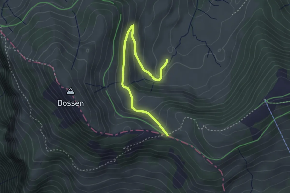
Easy · Trail
Rotenflue Allmig - Hinder Dossen
3.3 km · ↑ 171 m · 1 h 10 min · 14 km away
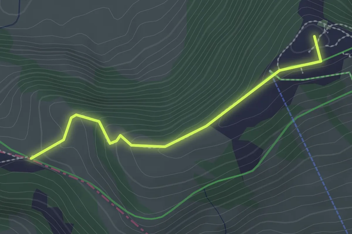
Medium · Summit
Rigi Scheidegg - Hinter Dossen
2.3 km · ↑ 97 m · 45 min · 14 km away
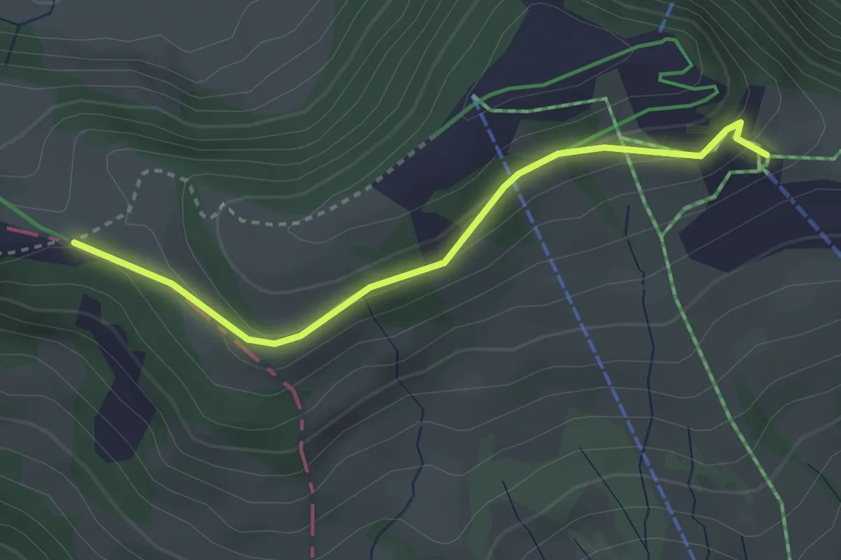
Easy · Trail
Burggeist – Hinder Dossen
3.0 km · ↑ 116 m · 57 min · 14 km away
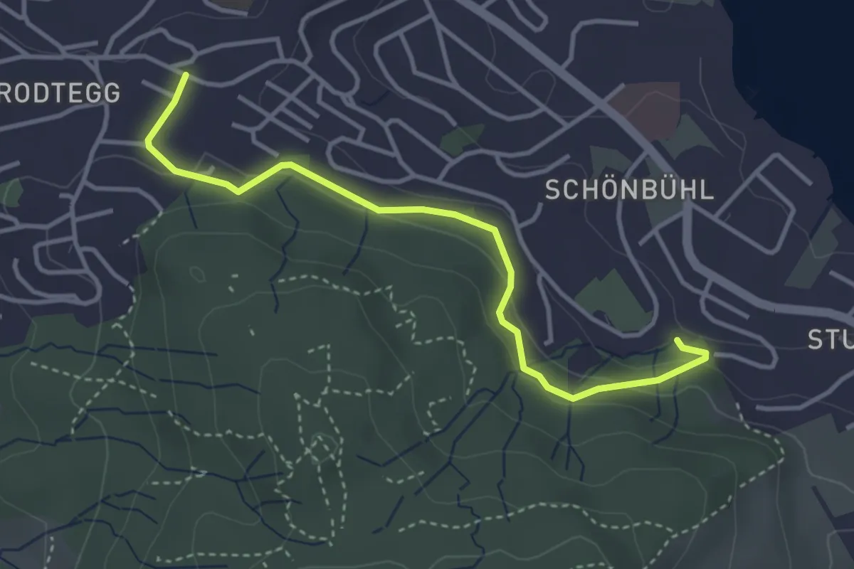
Easy · Trail
Geissenstein - Matthof
3.7 km · ↑ 124 m · 1 h 9 min · 14 km away
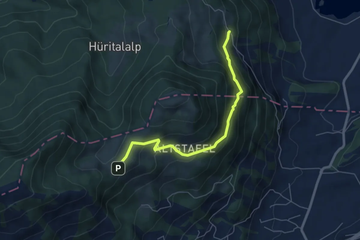
Medium · Trail
Halsegg - Schornerain
5.3 km · ↑ 336 m · 1 h 59 min · 14 km away
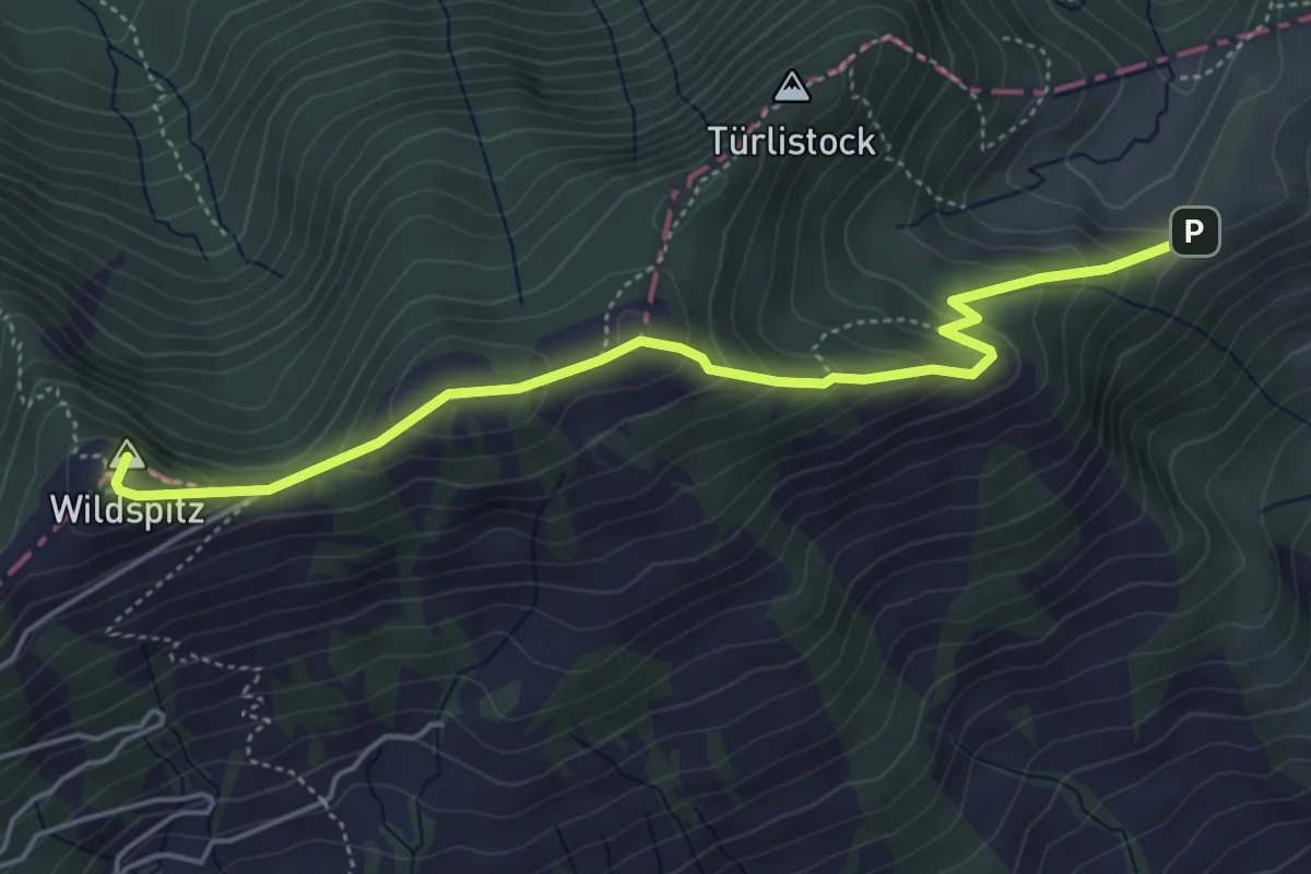
Medium · Summit
Halsegg – Wildspitz
5.0 km · ↑ 334 m · 1 h 54 min · 14 km away
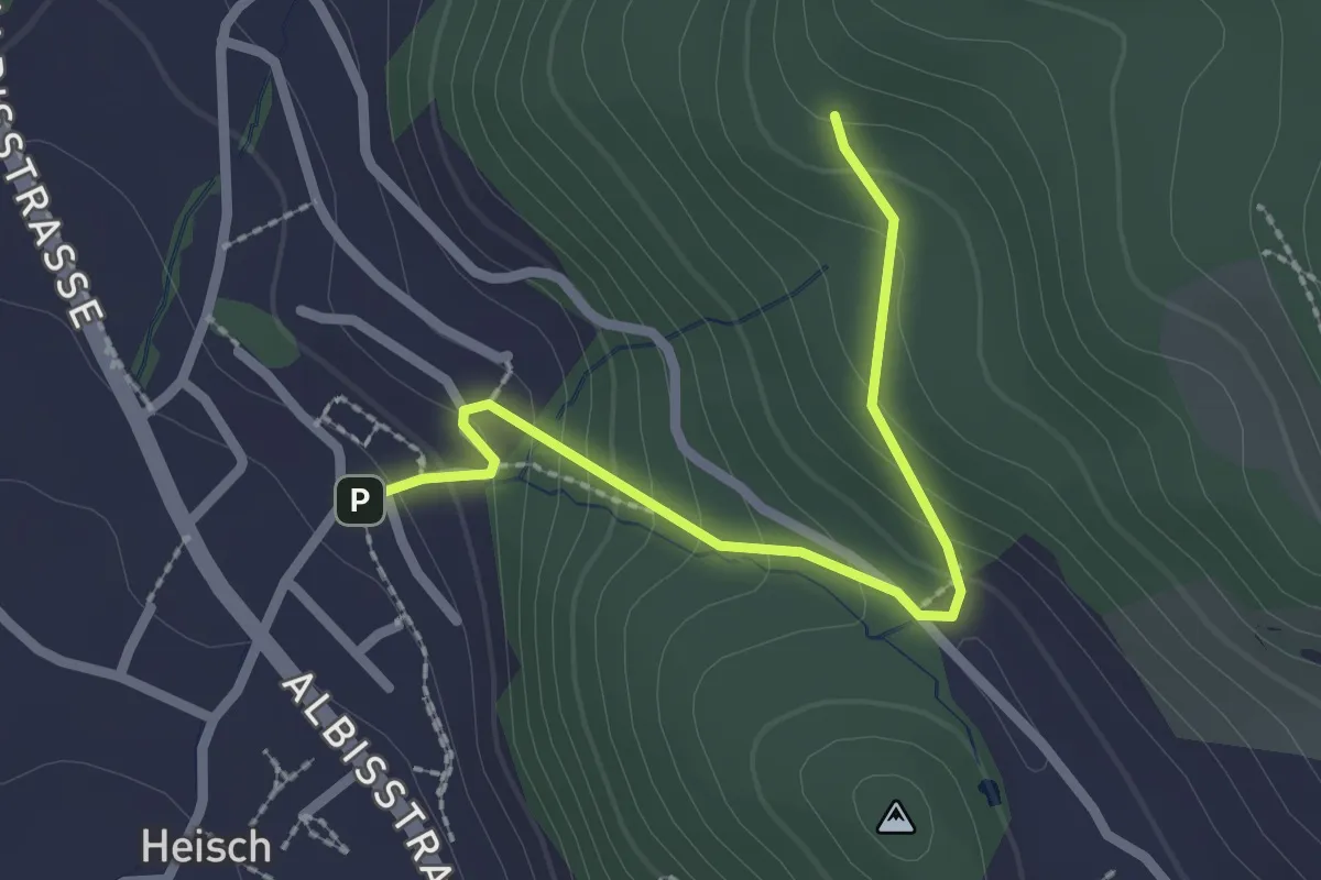
Easy · Trail
Äbni – Heisch
2.3 km · ↑ 170 m · 55 min · 14 km away
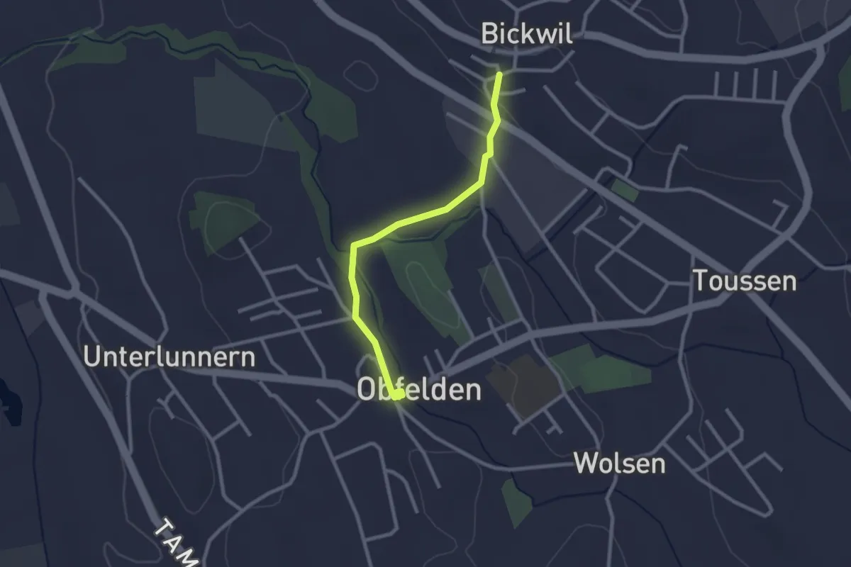
Easy · Trail
Bickwil - Ober Lunnern
2.3 km · ↑ 39 m · 38 min · 14 km away
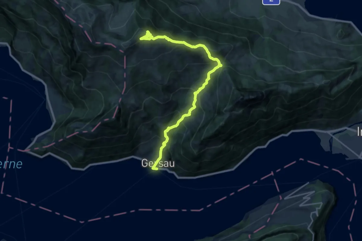
Demanding · Trail
Rigi Scheidegg Weg
16.0 km · ↑ 1276 m · 6 h 32 min · 14 km away
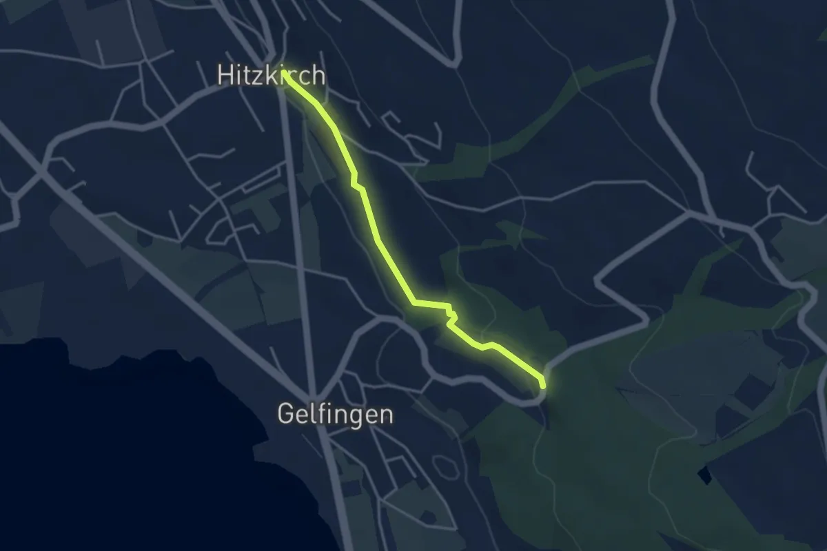
Easy · Trail
Station Hitzkirch – Schloss Heidegg
3.1 km · ↑ 48 m · 50 min · 14 km away
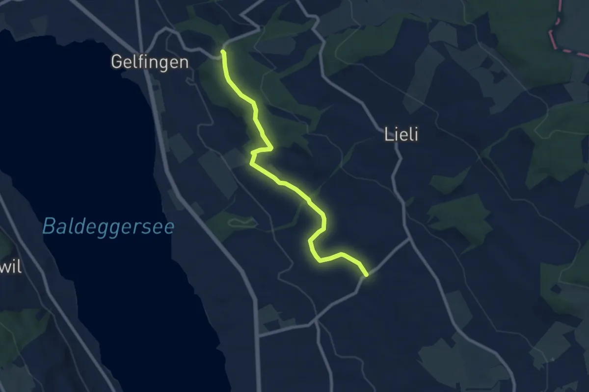
Easy · Trail
Schloss Heidegg – Kleinwangen
6.9 km · ↑ 162 m · 1 h 58 min · 14 km away
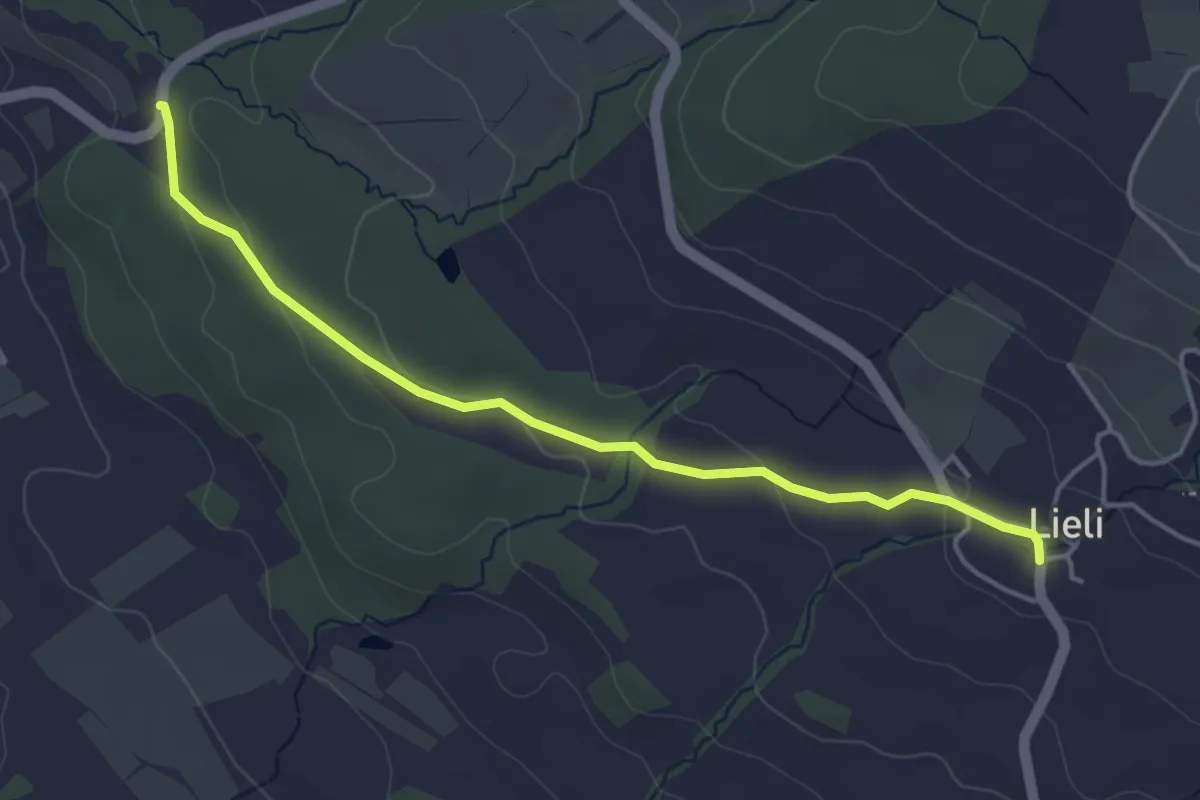
Easy · Trail
Schloss Heidegg – Lieli
4.3 km · ↑ 96 m · 1 h 13 min · 14 km away
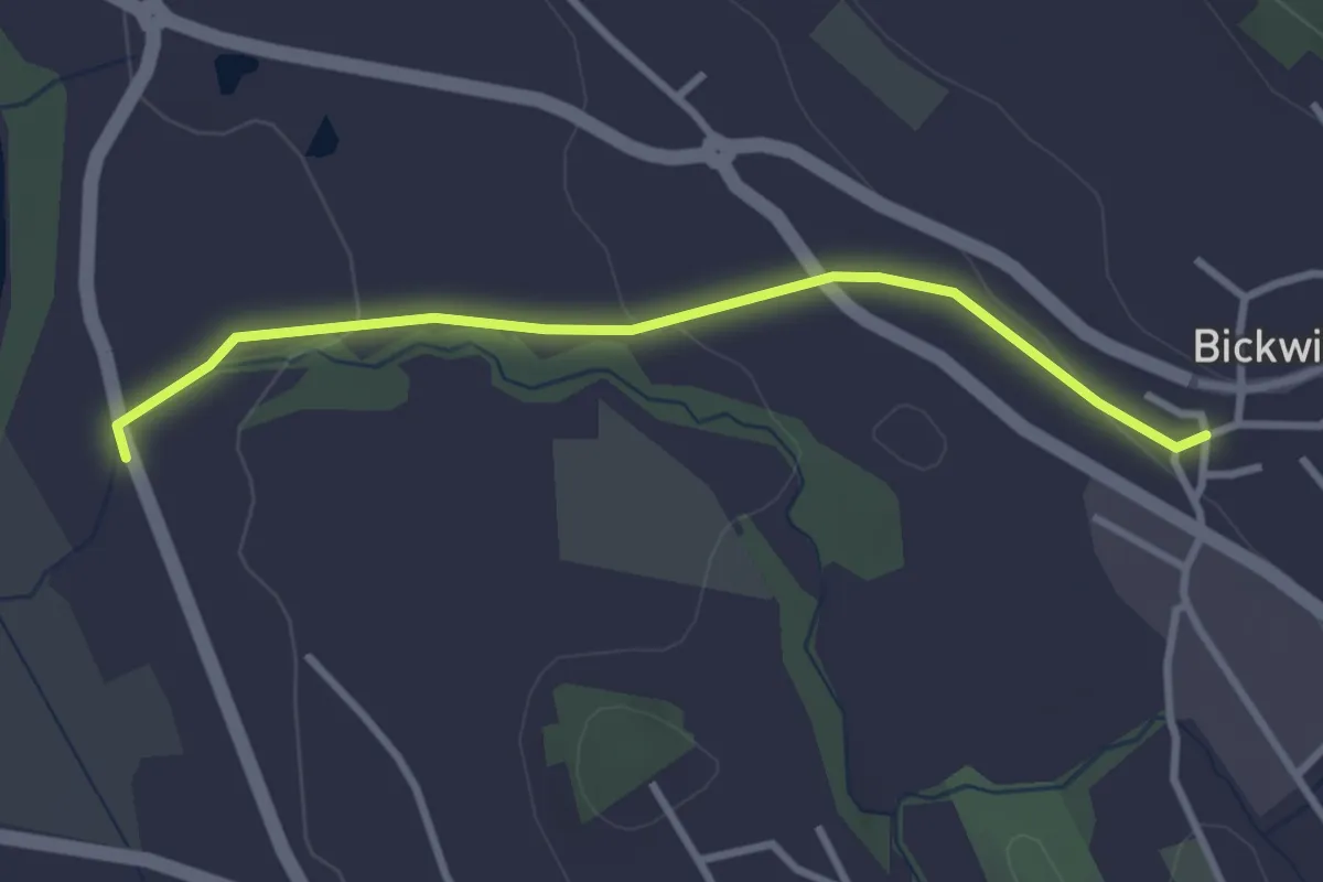
Easy · Trail
Bickwil - Rickenbach
3.0 km · ↑ 62 m · 51 min · 14 km away
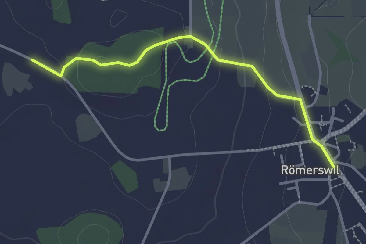
Easy · Trail
Römerswil – Bromen
2.7 km · ↑ 71 m · 48 min · 14 km away
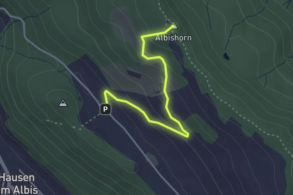
Easy · Summit
Albishorn - Hinter Albis
2.8 km · ↑ 150 m · 59 min · 14 km away
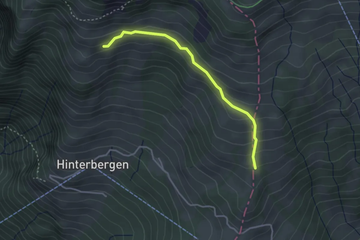
Easy · Trail
Gletti – Pfäng
3.0 km · ↑ 157 m · 1 h 2 min · 14 km away
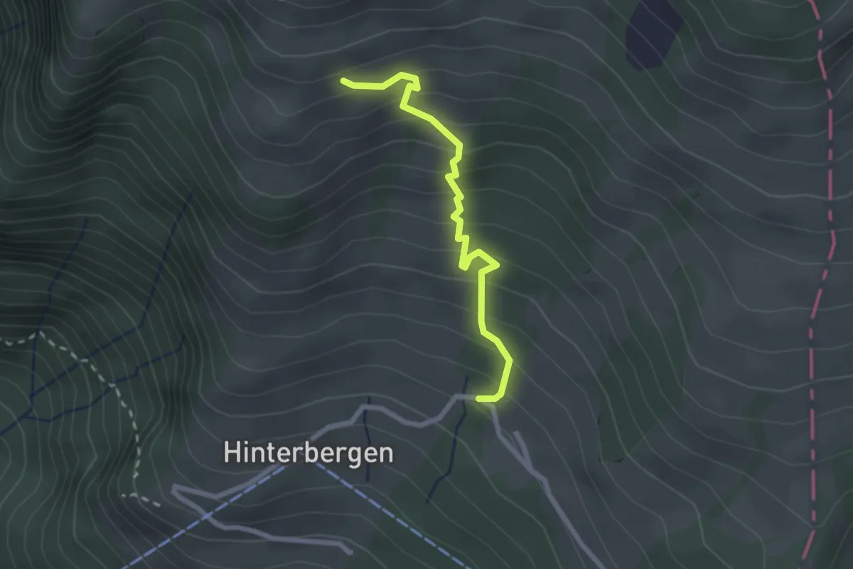
Easy · Trail
Hinterbergen – Glätti
2.2 km · ↑ 267 m · 1 h 5 min · 14 km away
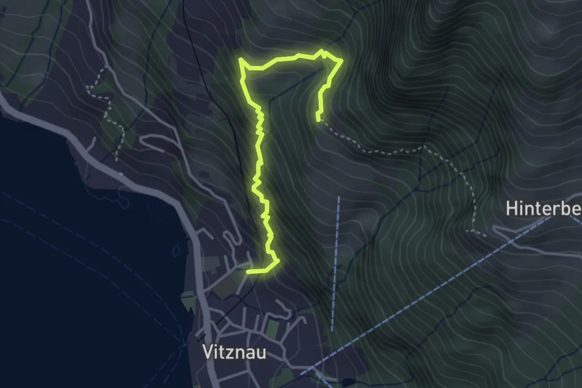
Medium · Trail
Vitznau Dorf – Gebetschwil
3.5 km · ↑ 450 m · 1 h 48 min · 14 km away
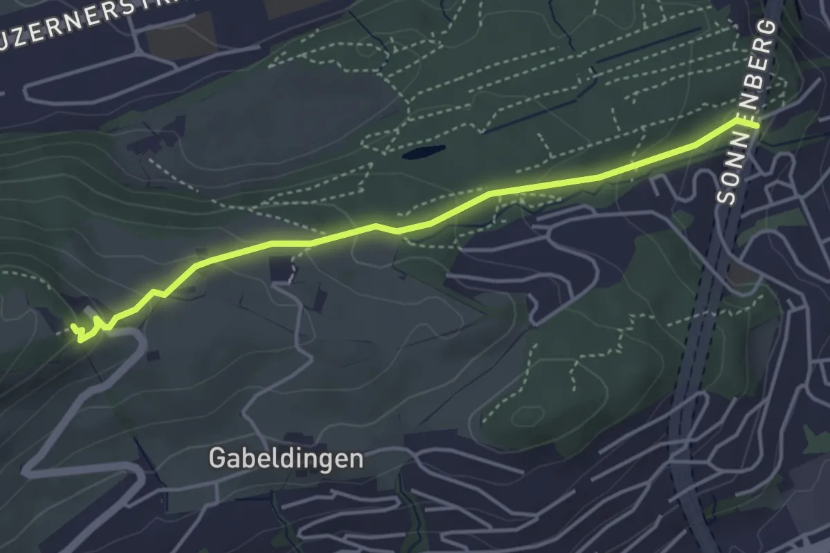
Easy · Trail
Bruchmatt – Sonnenberg
4.0 km · ↑ 197 m · 1 h 22 min · 14 km away
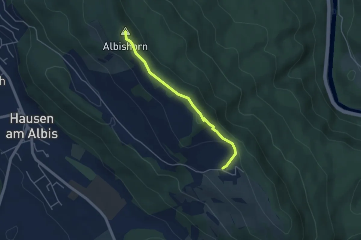
Easy · Summit
Ober Albis – Albishorn
3.3 km · ↑ 149 m · 1 h 6 min · 15 km away
Easy · Trail
Gossenrain - Süesstannen - Hocken
4.2 km · ↑ 31 m · 1 h 3 min · 15 km away
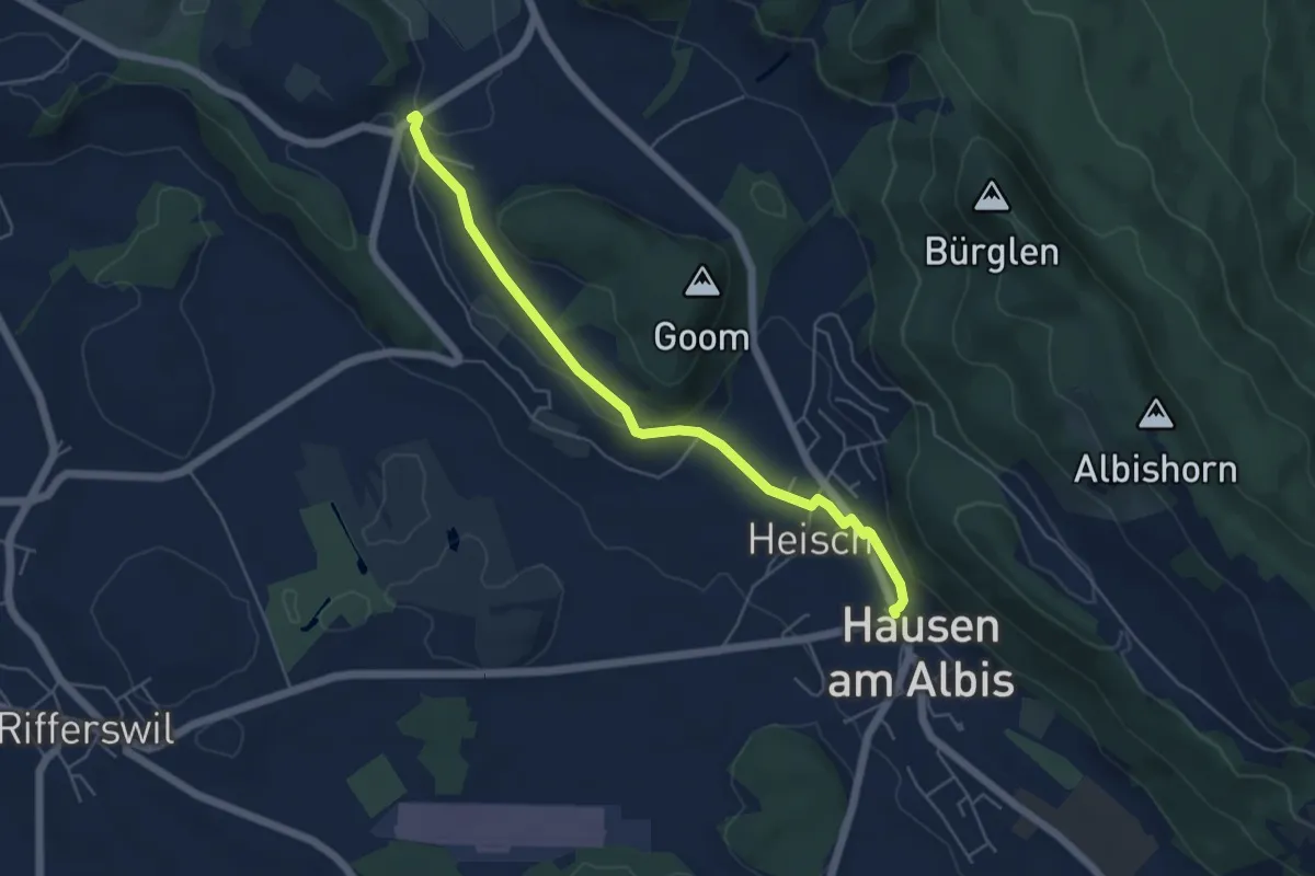
Easy · Trail
Vollenweid – Hausen a. A.
5.2 km · ↑ 127 m · 1 h 31 min · 15 km away
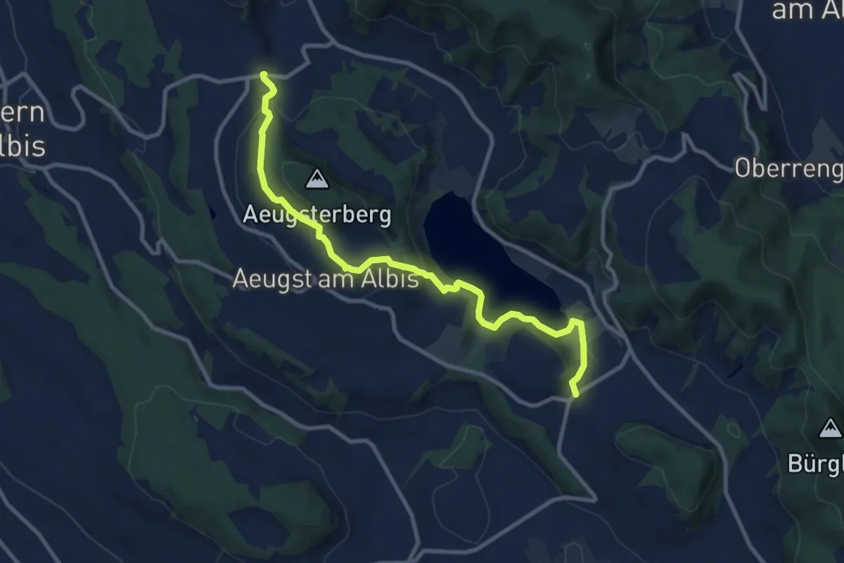
Medium · Trail
Vollenweid – Müliberg
9.7 km · ↑ 284 m · 2 h 54 min · 15 km away
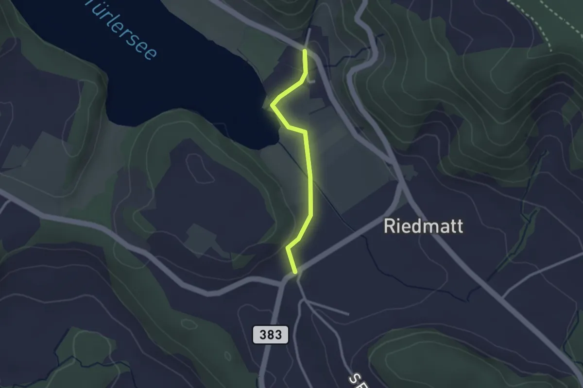
Easy · Trail
Vollenweid – Türlen
2.0 km · ↑ 27 m · 32 min · 15 km away
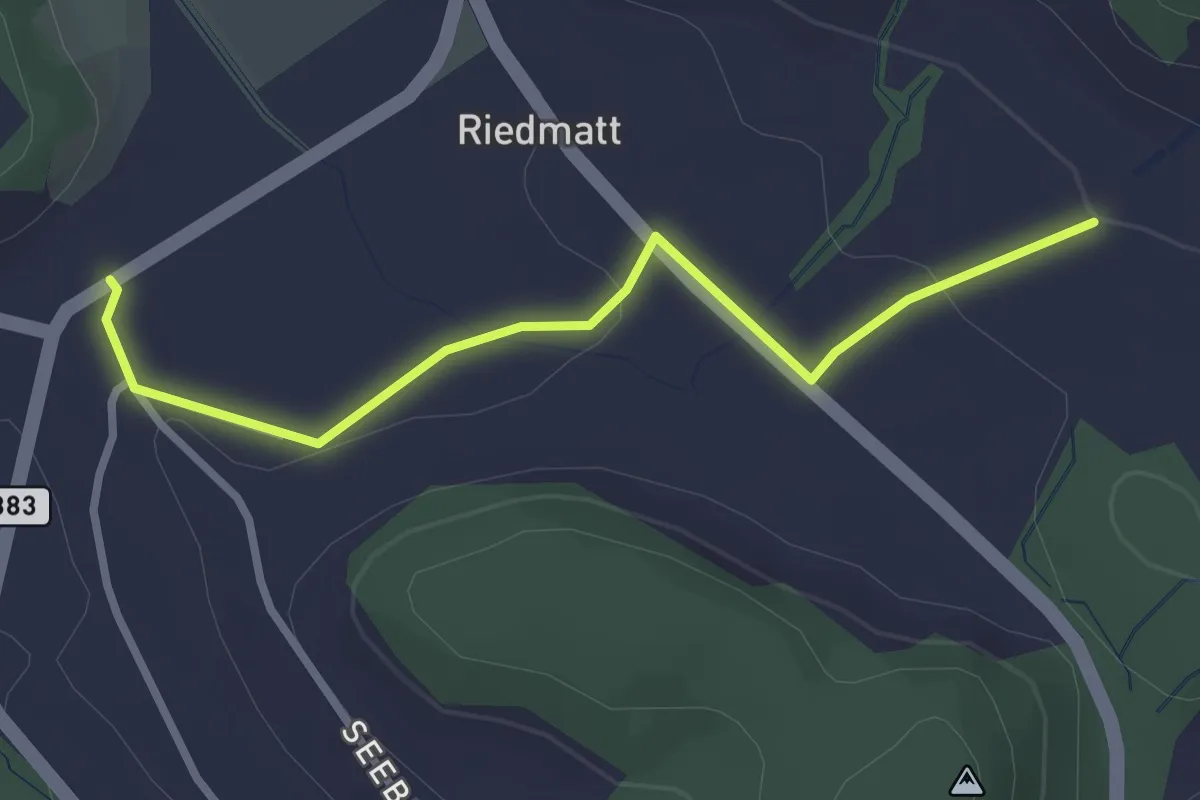
Easy · Trail
Tüfenbach – Vollenweid
2.8 km · ↑ 44 m · 46 min · 15 km away
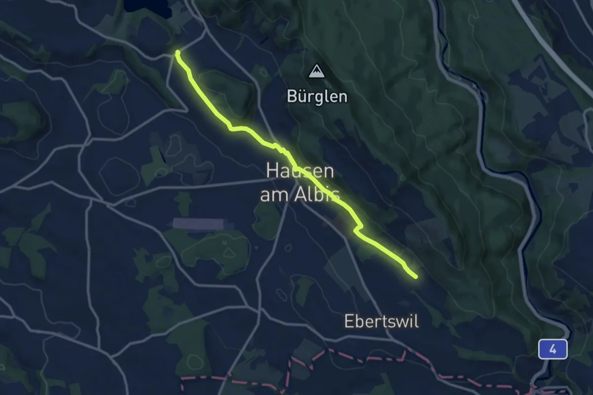
Medium · Trail
Husertal – Vollenweid
9.9 km · ↑ 210 m · 2 h 47 min · 15 km away
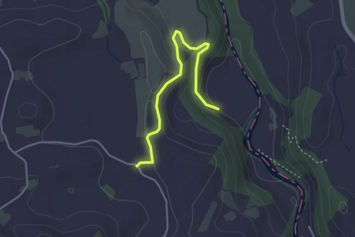
Easy · Trail
Sihlmatt - Schwand
3.0 km · ↑ 115 m · 57 min · 15 km away
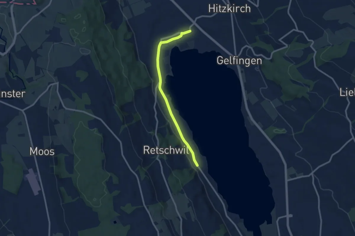
Easy · Trail
Retschwil - Stäfligen - Richensee
7.5 km · ↑ 17 m · 1 h 49 min · 15 km away
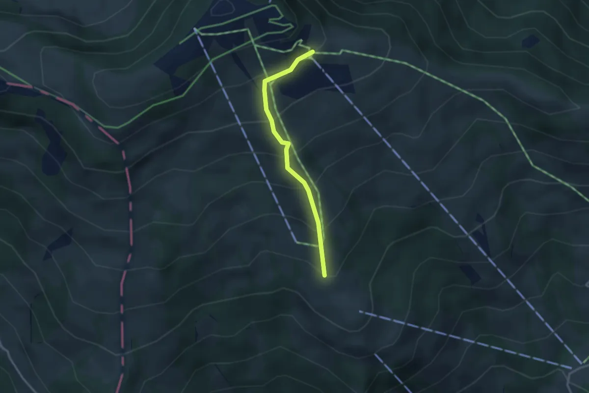
Easy · Trail
Obermatthütte – Burggeist
2.4 km · ↑ 258 m · 1 h 8 min · 15 km away
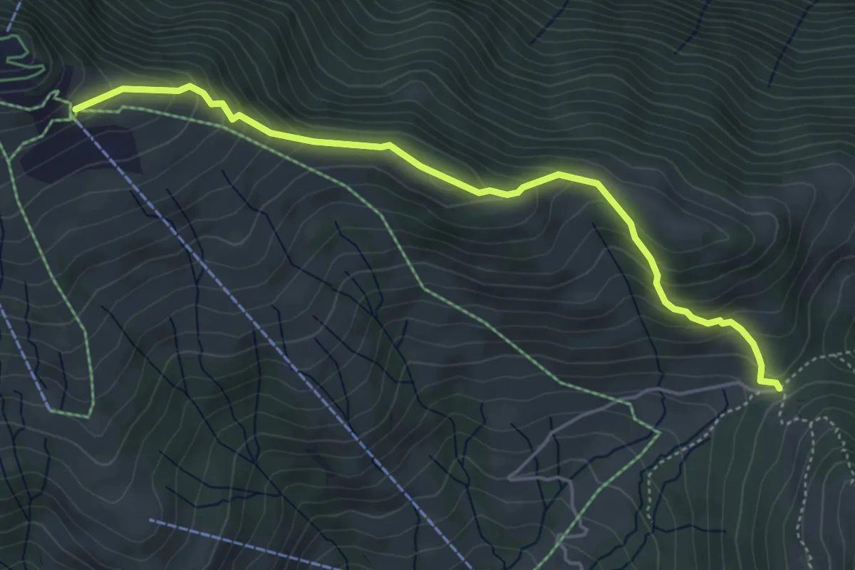
Medium · Trail
Gätterlipass - Burggeist
5.0 km · ↑ 374 m · 1 h 59 min · 15 km away
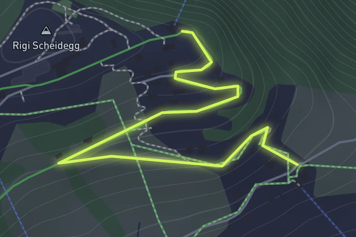
Easy · Trail
Rigi Scheidegg – Burggeist
2.0 km · ↑ 123 m · 45 min · 15 km away
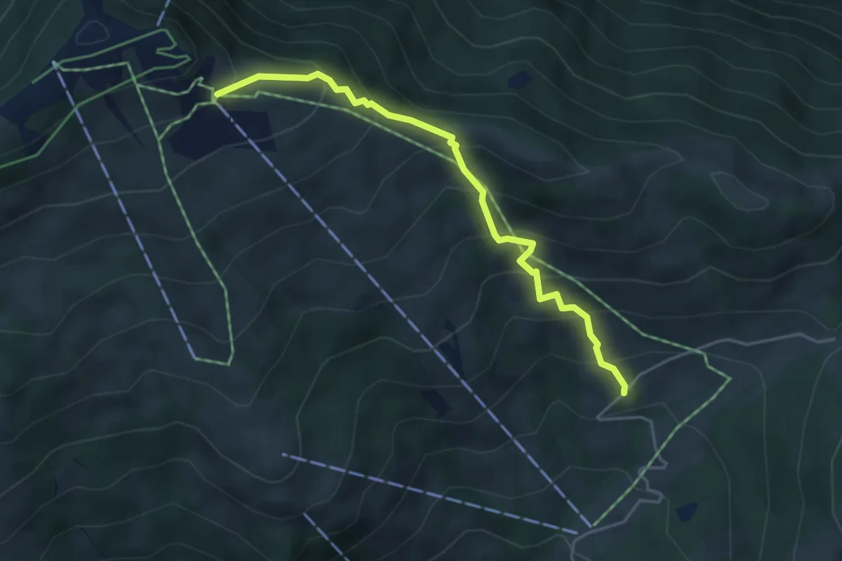
Medium · Trail
Hasenbüel – Burggeist
4.2 km · ↑ 423 m · 1 h 54 min · 15 km away
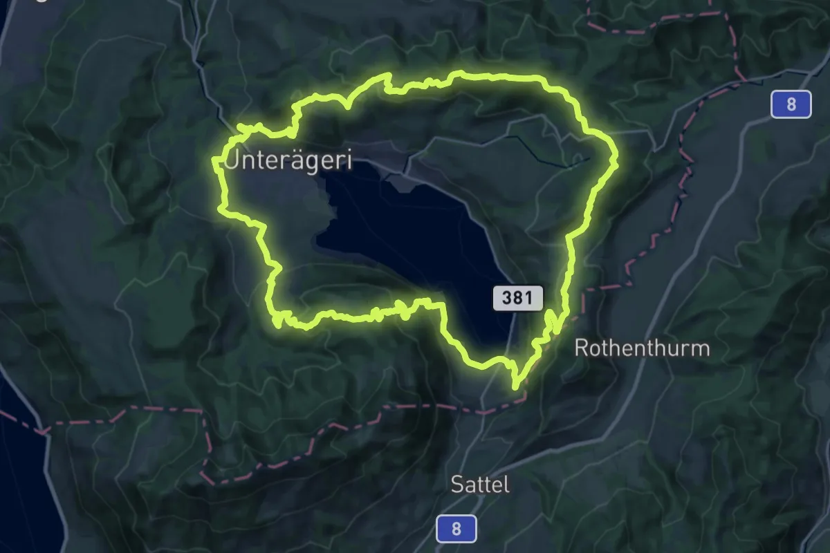
Demanding · Summit
Panoramaweg Aegerital
30.2 km · ↑ 1210 m · 10 h 11 min · 15 km away
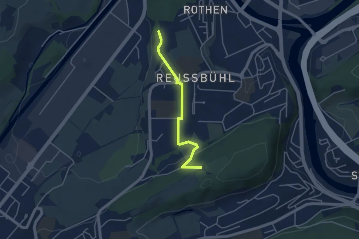
Easy · Trail
Zimeregg – Rothen
3.0 km · ↑ 68 m · 52 min · 15 km away
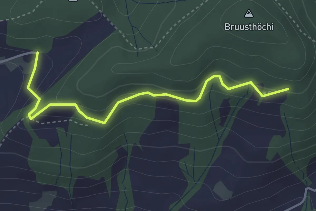
Medium · Trail
Bruustweid – Hintertann
3.4 km · ↑ 190 m · 1 h 13 min · 15 km away
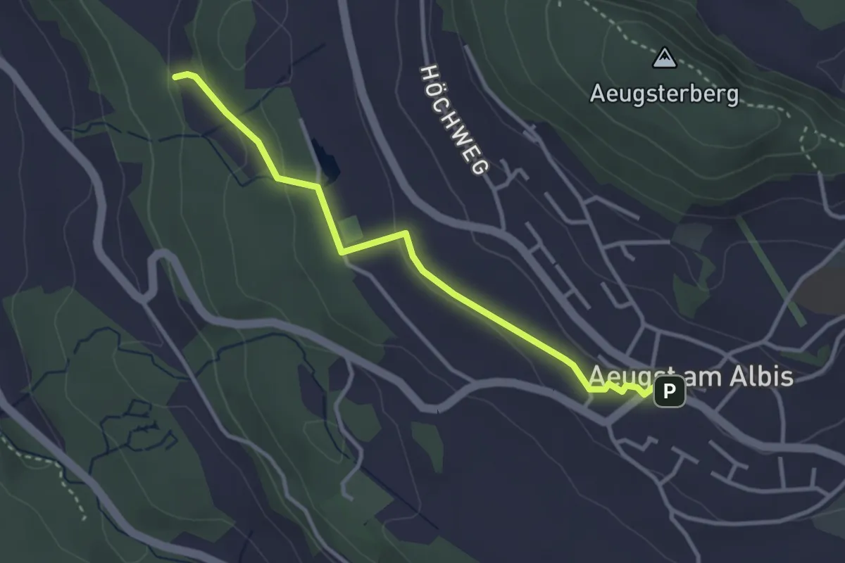
Easy · Trail
Aeugst am Albis – Sunnenbüel
3.2 km · ↑ 80 m · 55 min · 15 km away
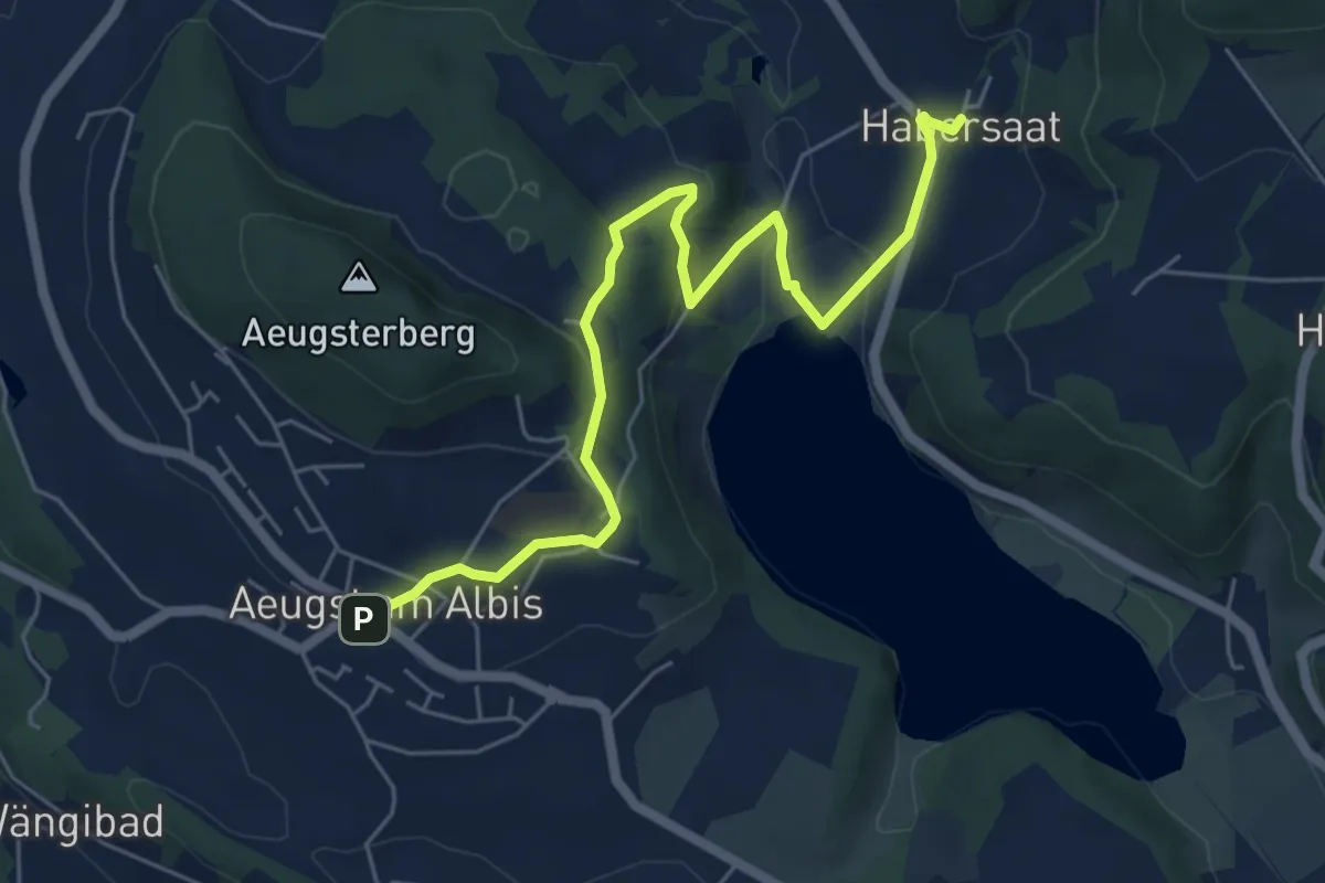
Easy · Trail
Habersaat – Aegst a.A.
6.3 km · ↑ 179 m · 1 h 53 min · 15 km away
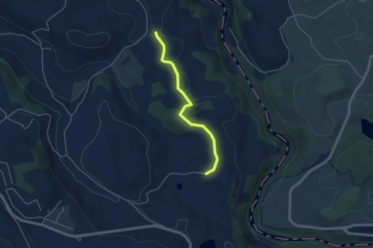
Easy · Trail
Schwand - Hintercher
3.3 km · ↑ 58 m · 54 min · 15 km away
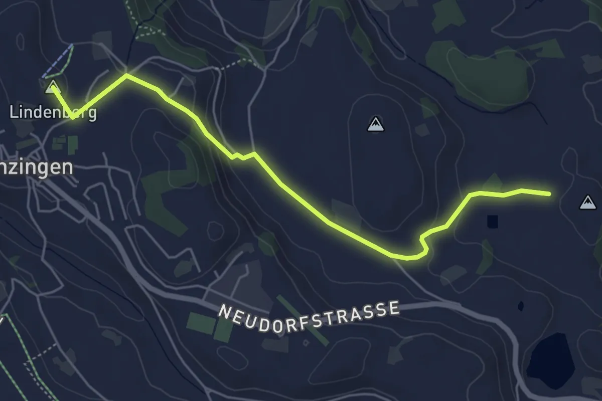
Easy · Summit
Hintercher - Menzingen
5.2 km · ↑ 158 m · 1 h 35 min · 15 km away
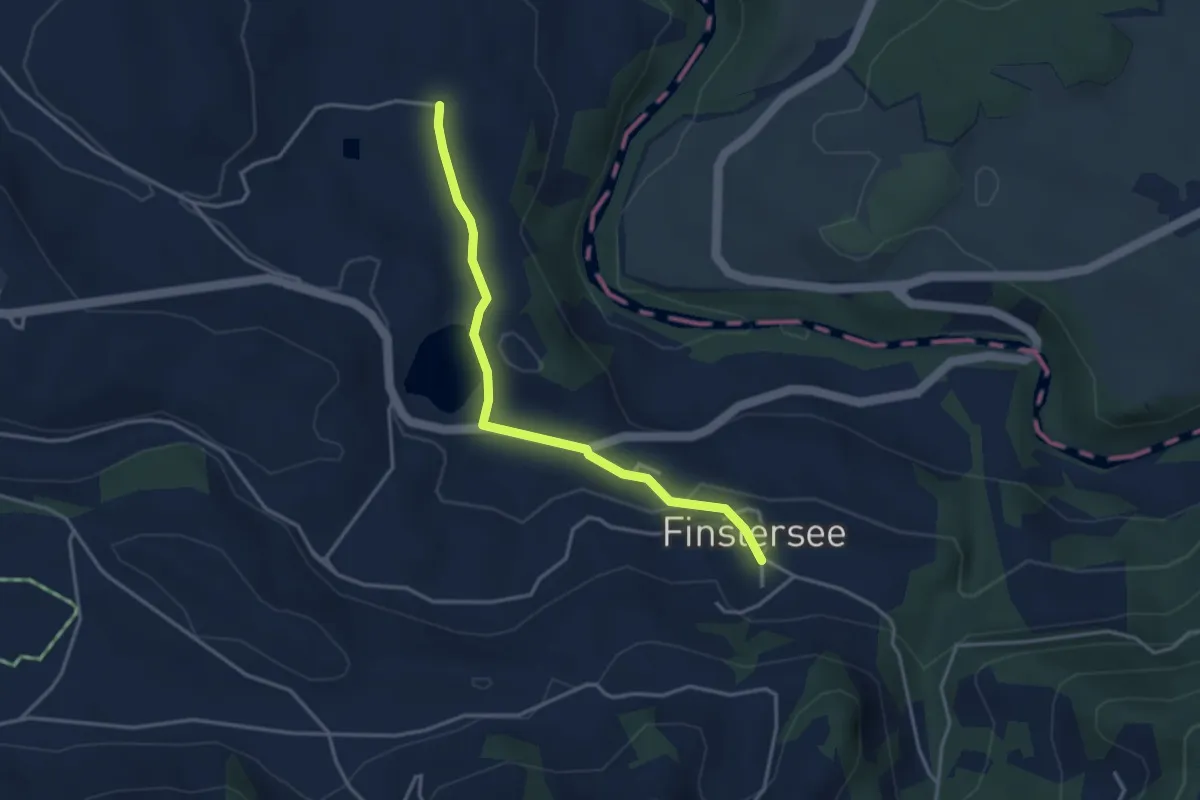
Easy · Trail
Finstersee - Hintercher
3.5 km · ↑ 79 m · 1 h · 15 km away
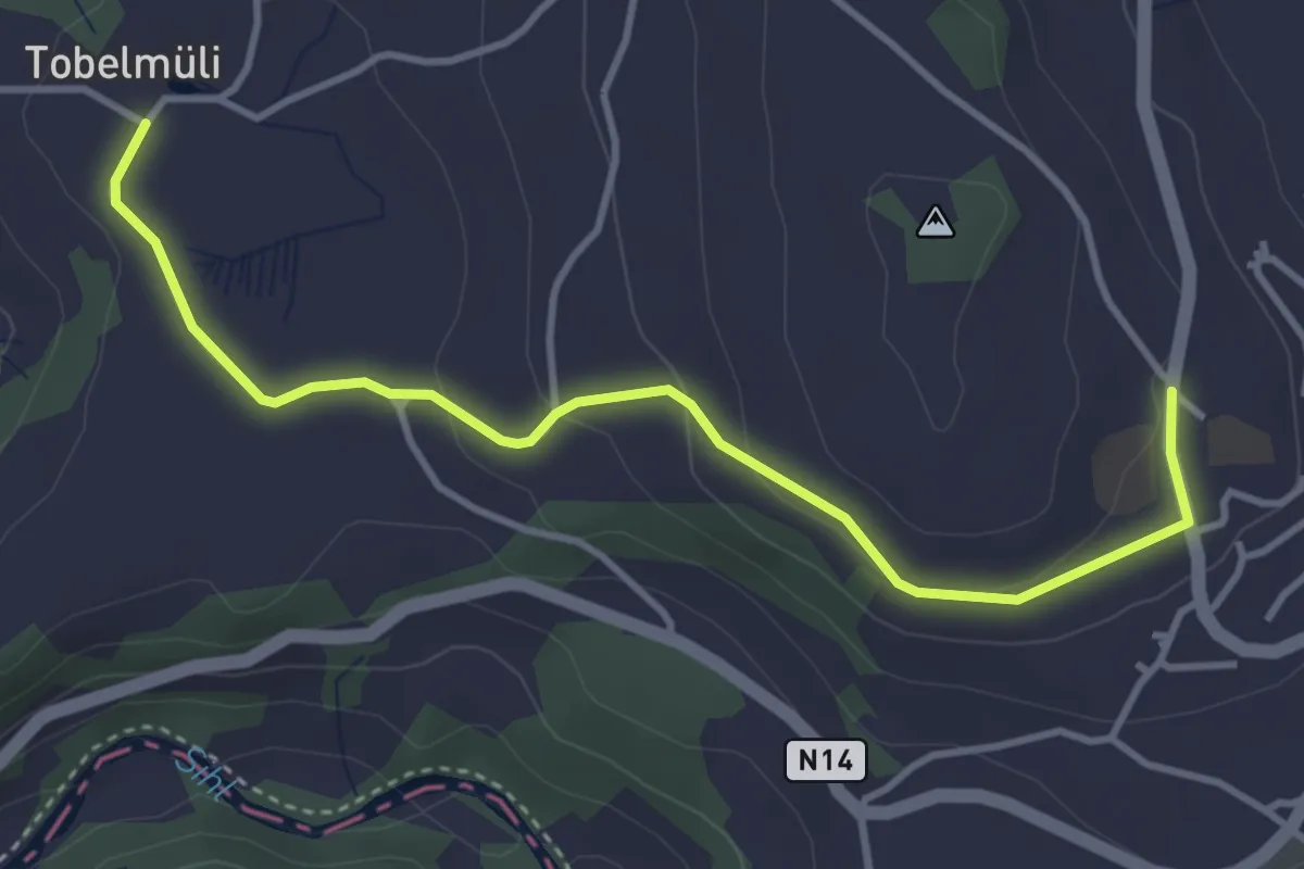
Easy · Trail
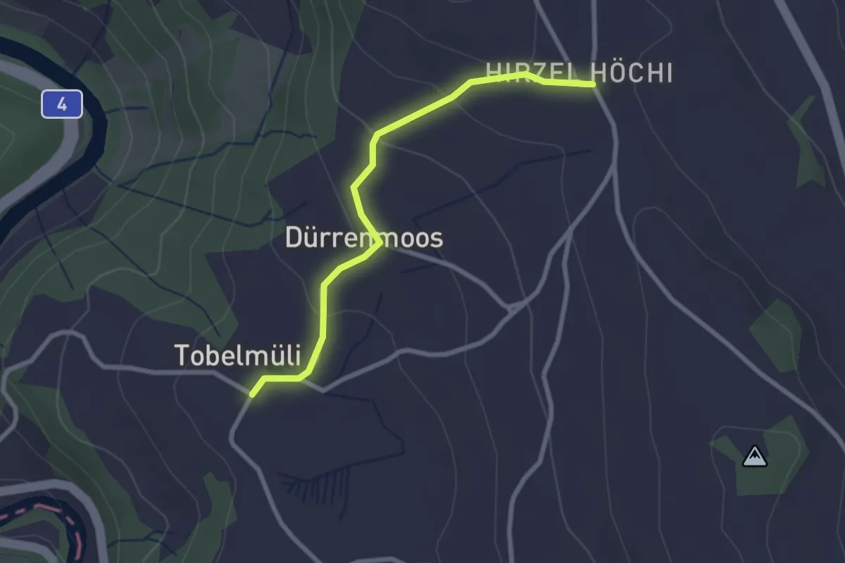
Tobelmüli – Hirzel
4.1 km · ↑ 108 m · 1 h 12 min · 15 km away
Easy · Trail
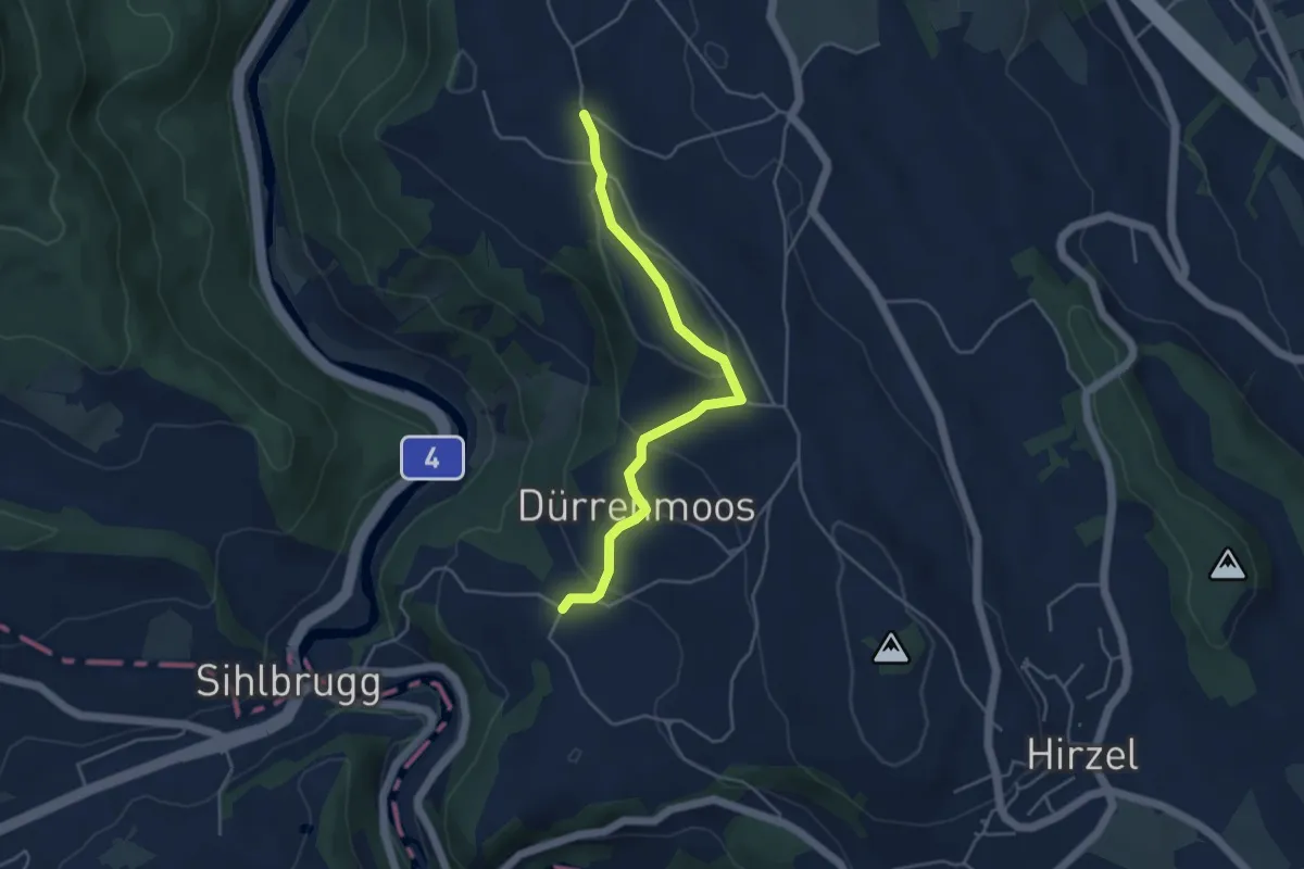
Tobelmüli – Höhi
2.4 km · ↑ 94 m · 47 min · 15 km away
Easy · Trail
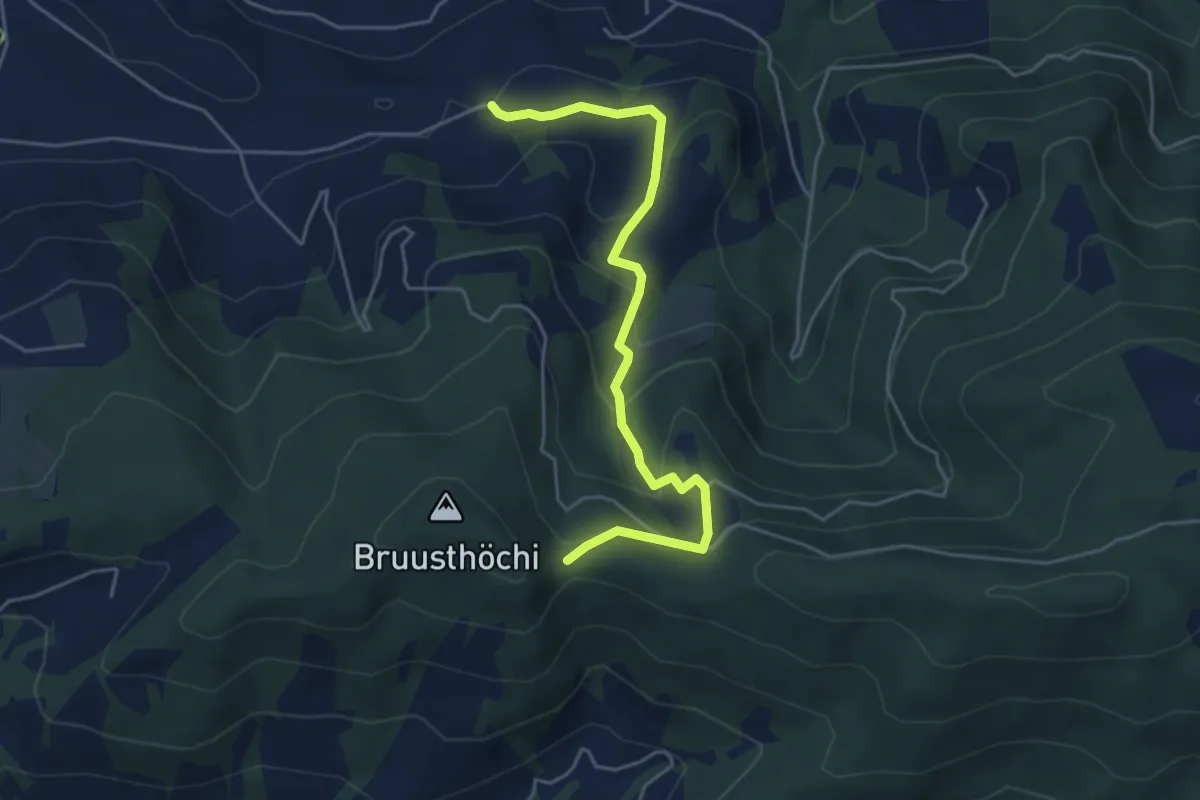
Zimmerberg – Tobelmüli
4.3 km · ↑ 140 m · 1 h 20 min · 15 km away
Easy · Trail
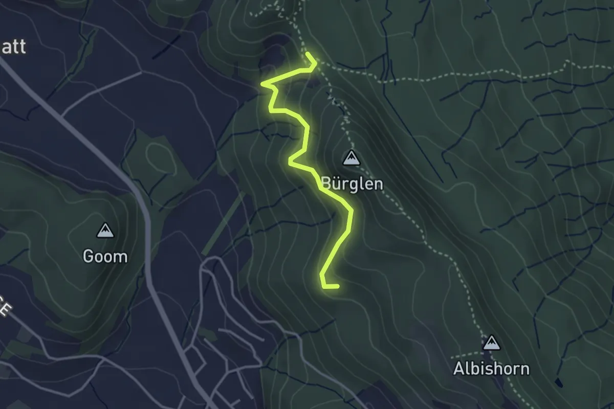
Mangelhöhe - Usser Black
4.9 km · ↑ 294 m · 1 h 48 min · 15 km away
Easy · Summit
Äbni – Schnabellücke
2.9 km · ↑ 189 m · 1 h 6 min · 15 km away
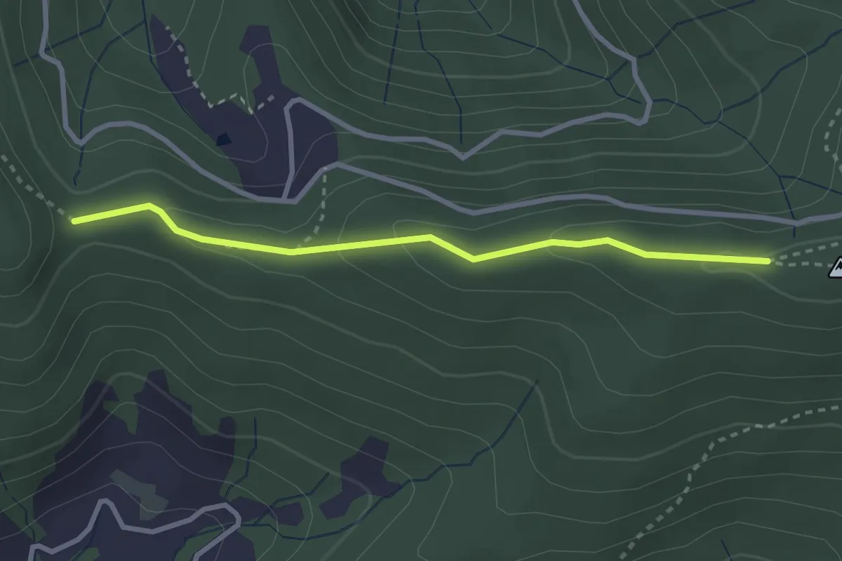
Medium · Trail
Muetegg – Mangelhöhe
2.7 km · ↑ 96 m · 50 min · 15 km away
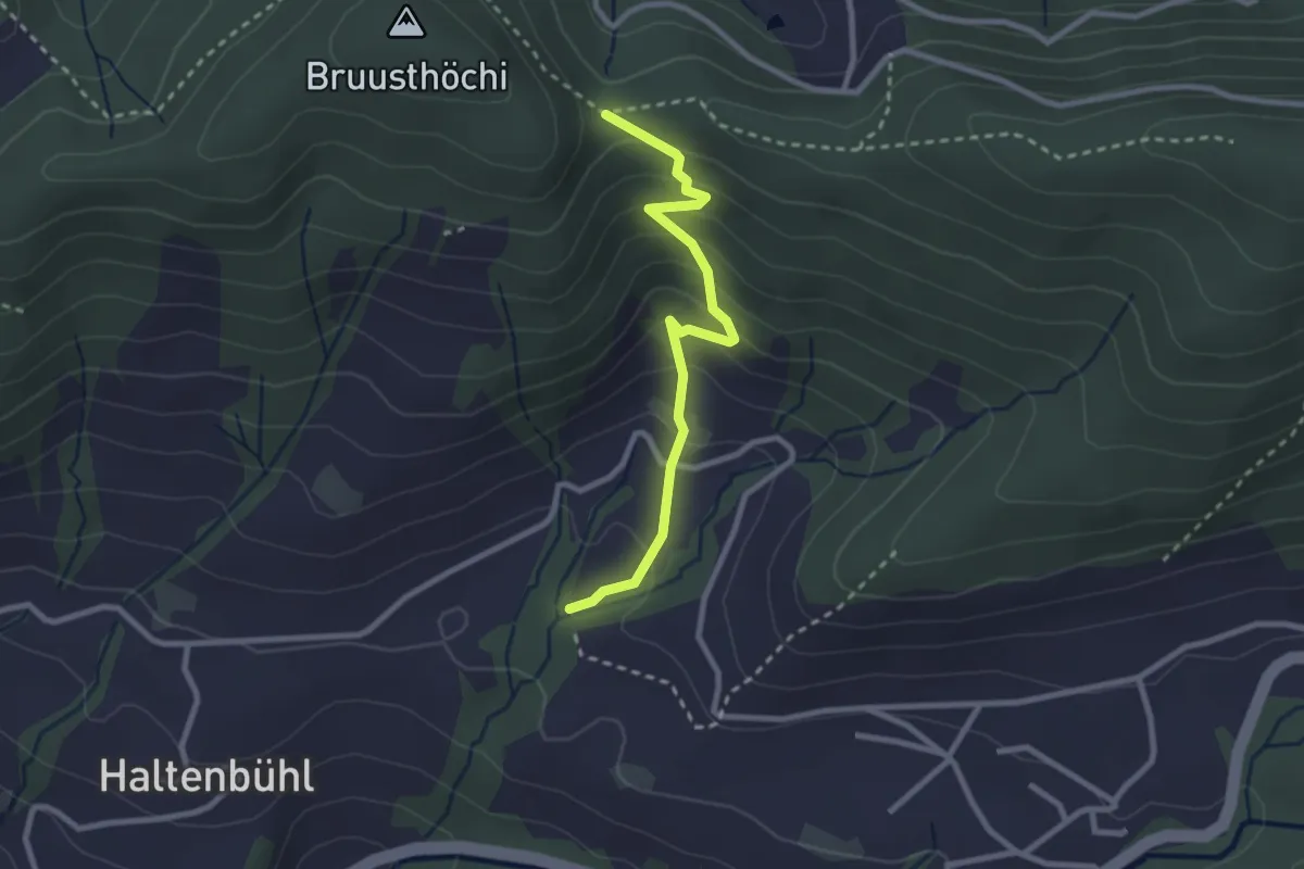
Easy · Trail
Mangelihöhe – Chefibach
2.6 km · ↑ 212 m · 1 h 4 min · 15 km away
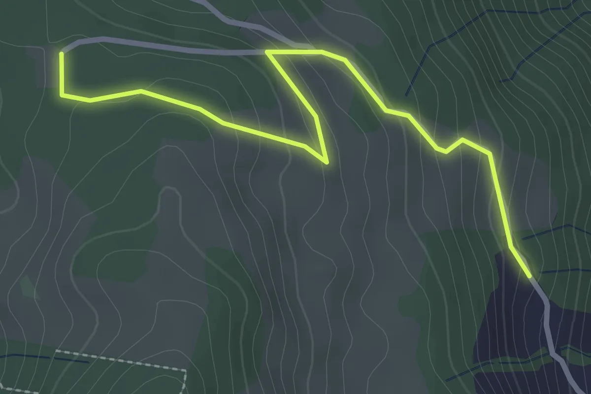
Easy · Trail
Schornerain - Cholerhütte
2.9 km · ↑ 140 m · 59 min · 15 km away