Trails near Rotkreuz
648 hikes starting within 15 km, nearest first.
Nearest first, page 14 of 14
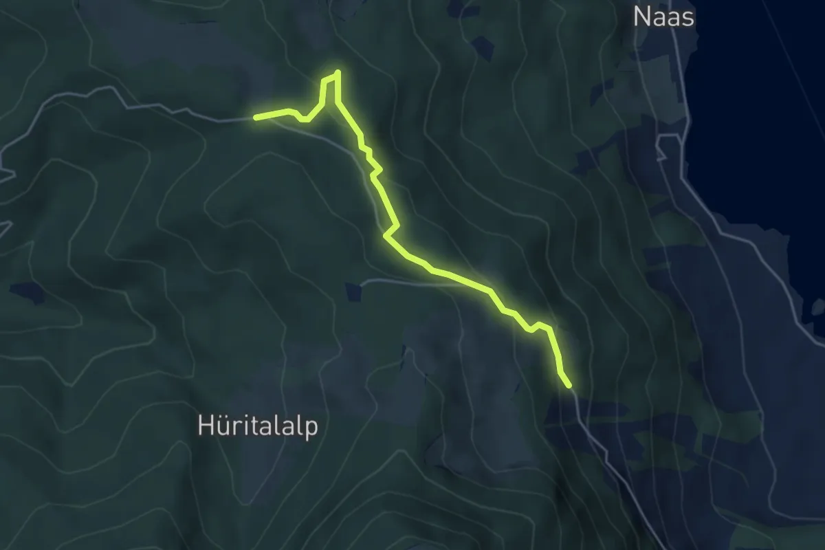
Easy · Trail
Schornerain - Rossalmig
4.3 km · ↑ 202 m · 1 h 27 min · 15 km away
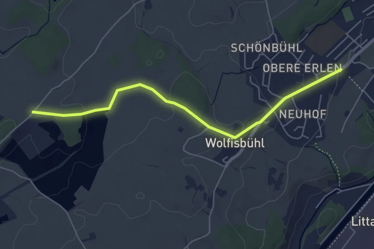
Easy · Trail
Erlen - Bühl
4.8 km · ↑ 85 m · 1 h 19 min · 15 km away
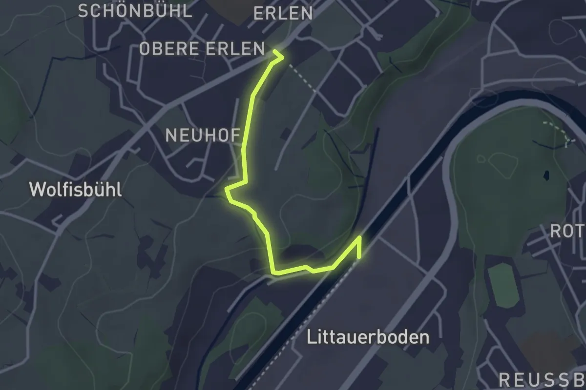
Easy · Trail
Erlen - Emmenweid
2.8 km · ↑ 56 m · 47 min · 15 km away
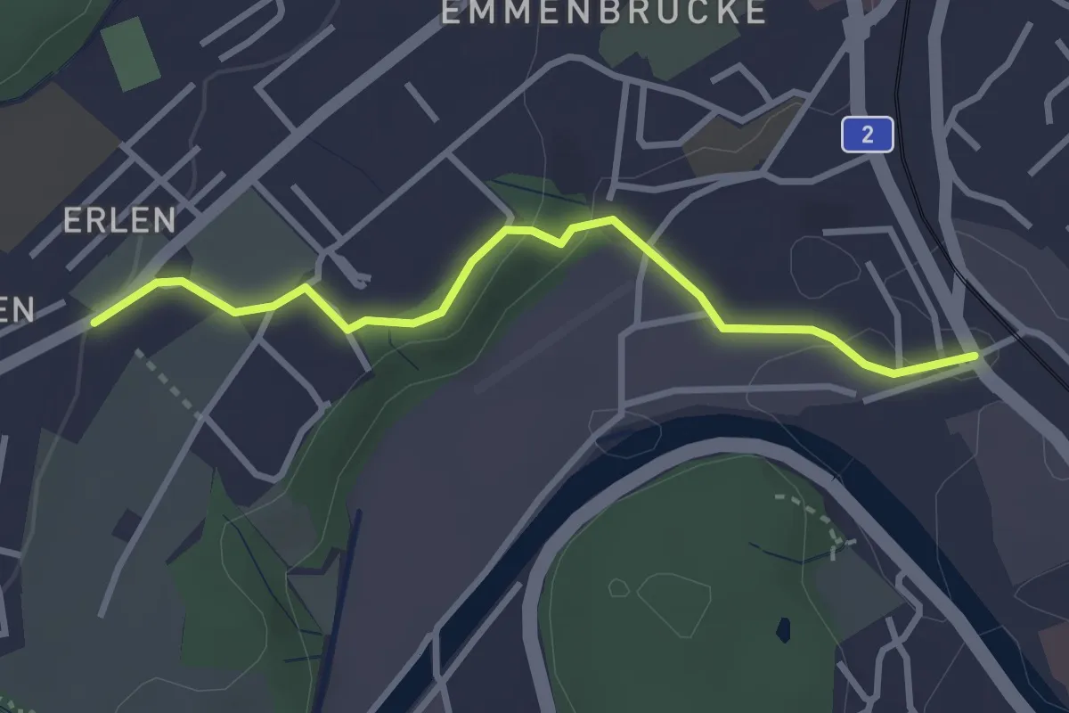
Easy · Trail
Erlen - Emmenbrücke
2.9 km · ↑ 58 m · 49 min · 15 km away
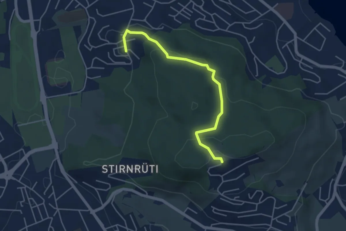
Easy · Trail
Biregghof - Oberrüti
3.9 km · ↑ 114 m · 1 h 9 min · 15 km away
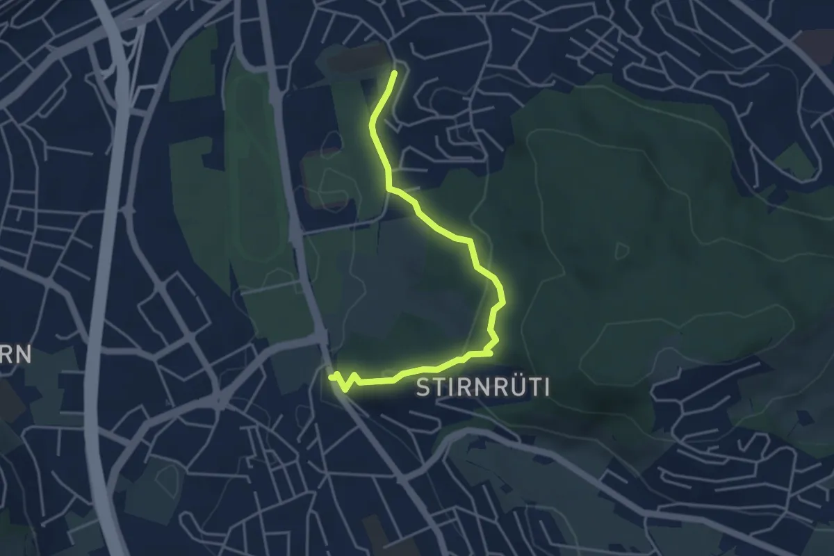
Easy · Trail
Hubelmatt - Waldegg
4.0 km · ↑ 152 m · 1 h 16 min · 15 km away
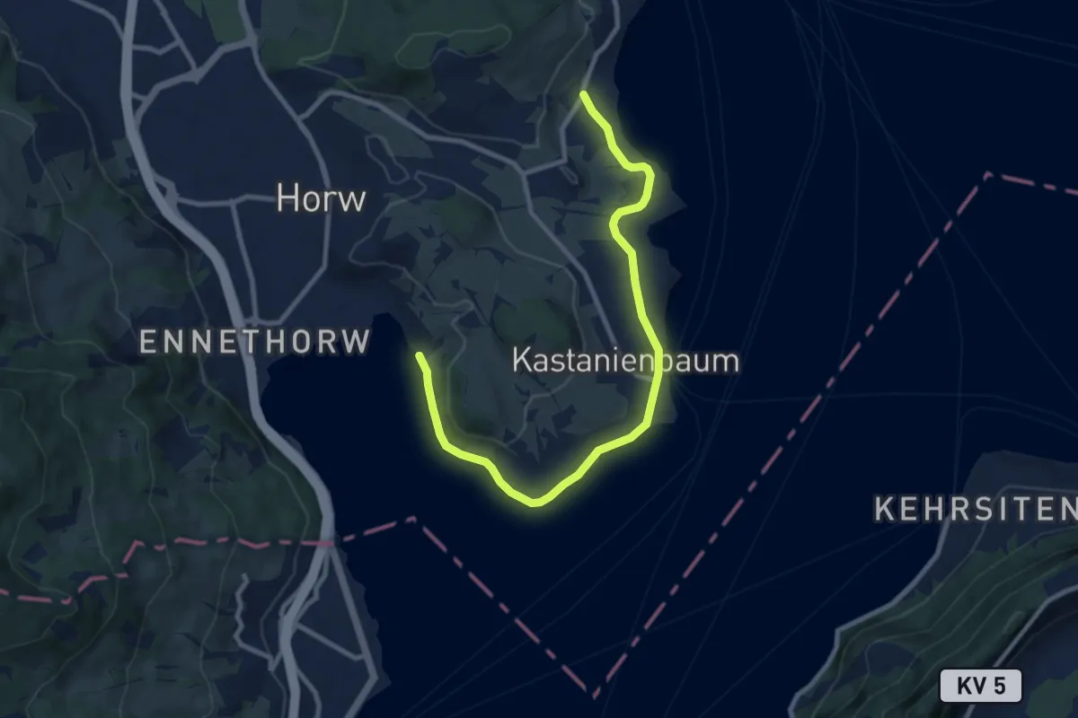
Medium · Trail
Seeben - Kastanienbaum
9.7 km · ↑ 85 m · 2 h 28 min · 15 km away
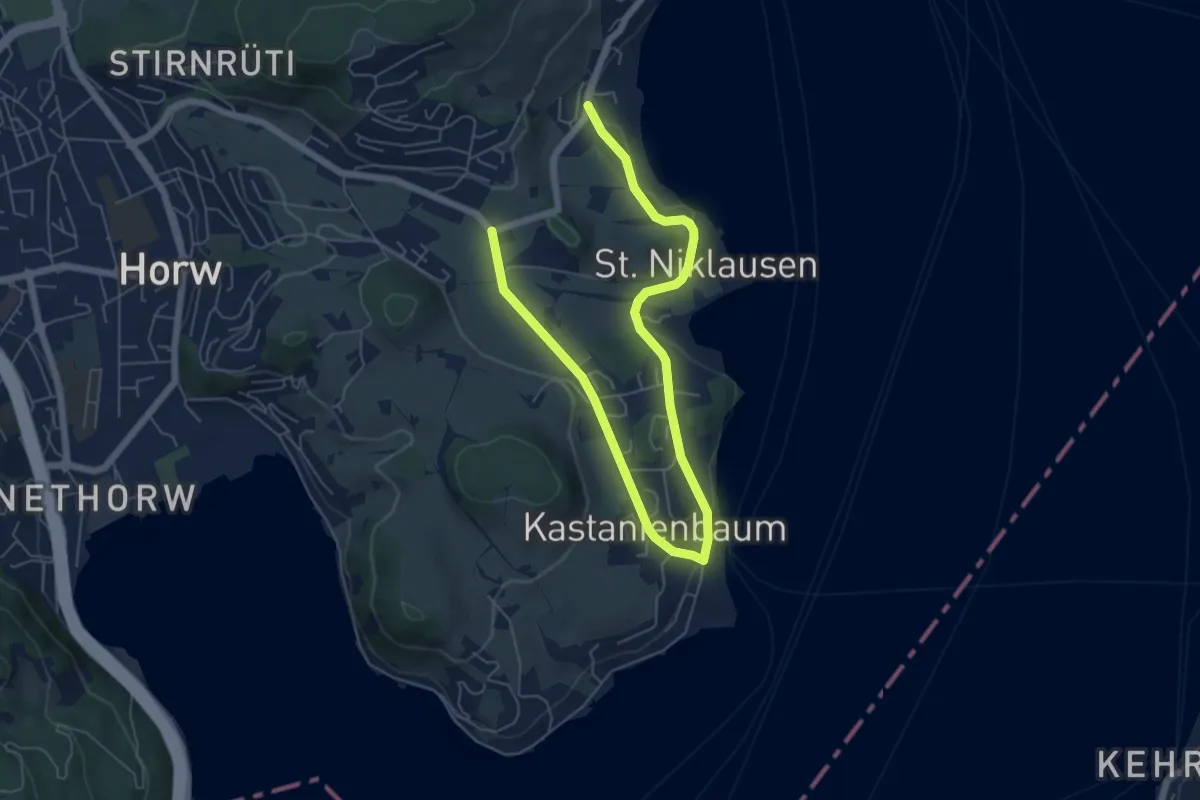
Easy · Trail
Kastanienbaum - Dorni
8.0 km · ↑ 111 m · 2 h 7 min · 15 km away
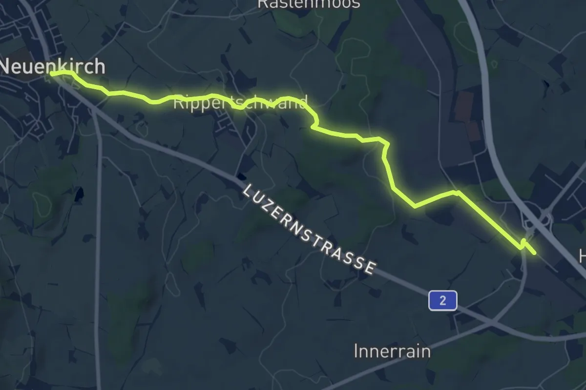
Medium · Trail
Rothenburg Station - Neuenkirch
9.1 km · ↑ 108 m · 2 h 23 min · 15 km away
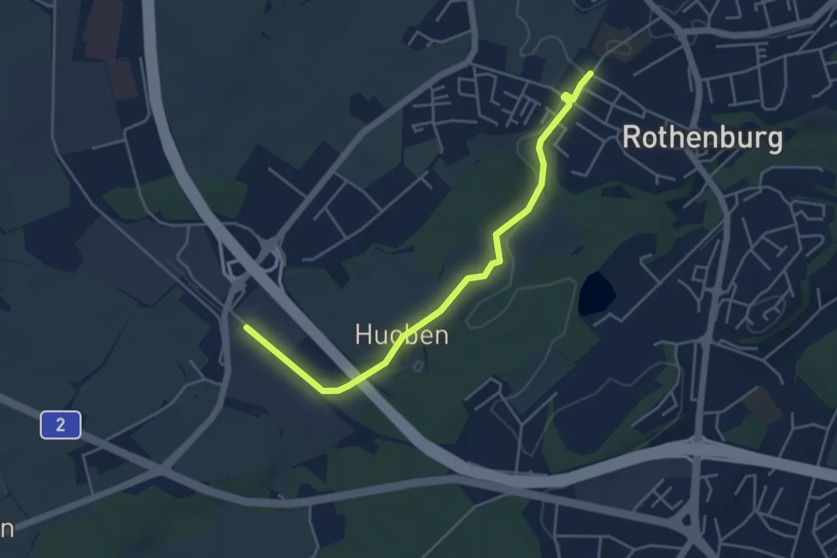
Easy · Trail
Rothenburg Station - Rothenburg (Schulhaus Gerbematt)
4.1 km · ↑ 20 m · 1 h 1 min · 15 km away
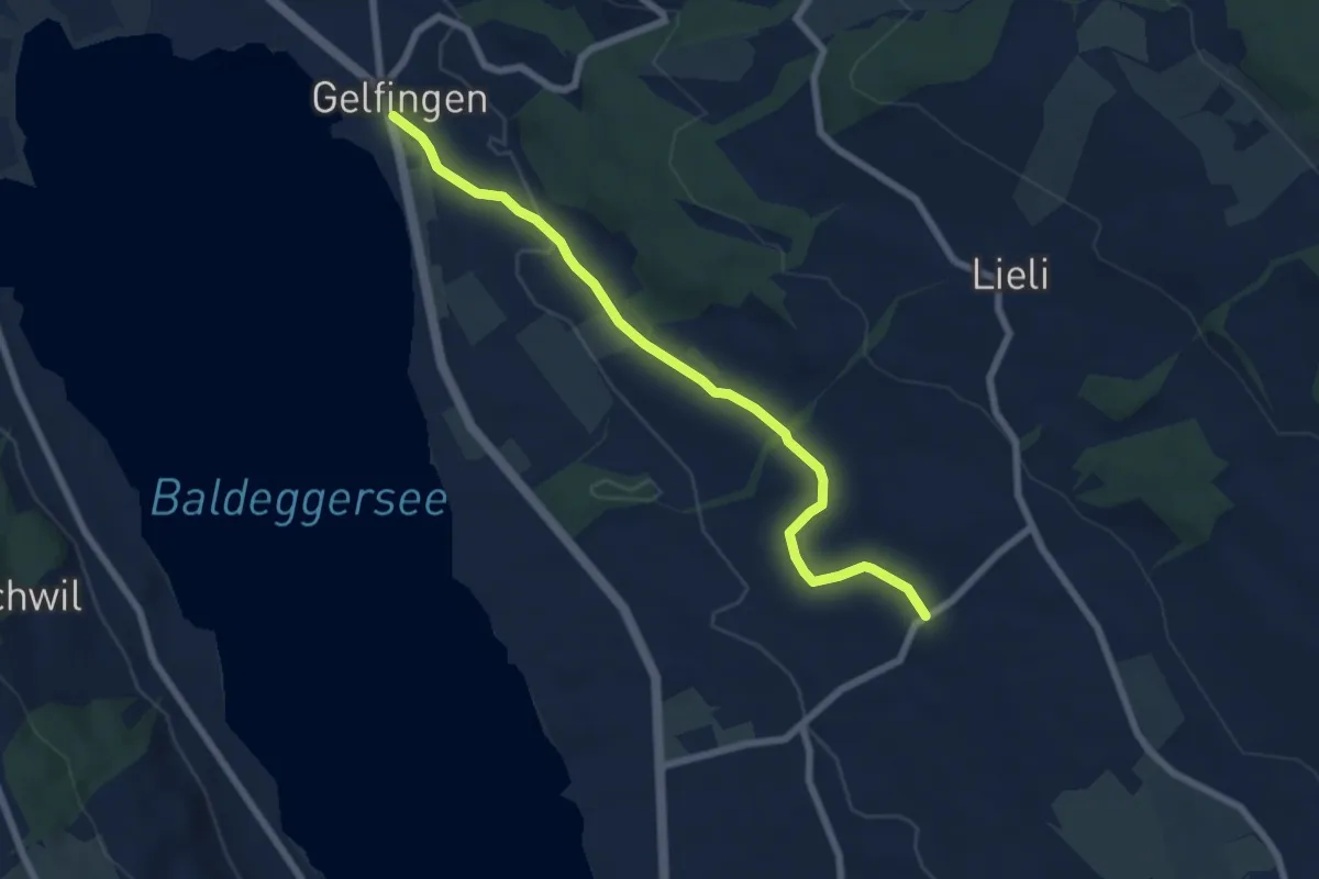
Easy · Trail
Gelfingen – Kleinwangen
6.9 km · ↑ 131 m · 1 h 54 min · 15 km away
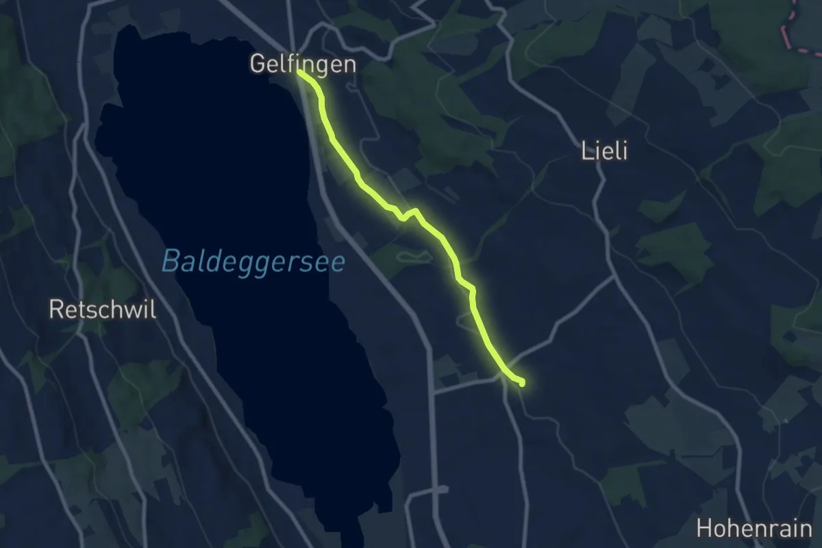
Easy · Trail
Gelfingen – Ferren
6.9 km · ↑ 40 m · 1 h 43 min · 15 km away
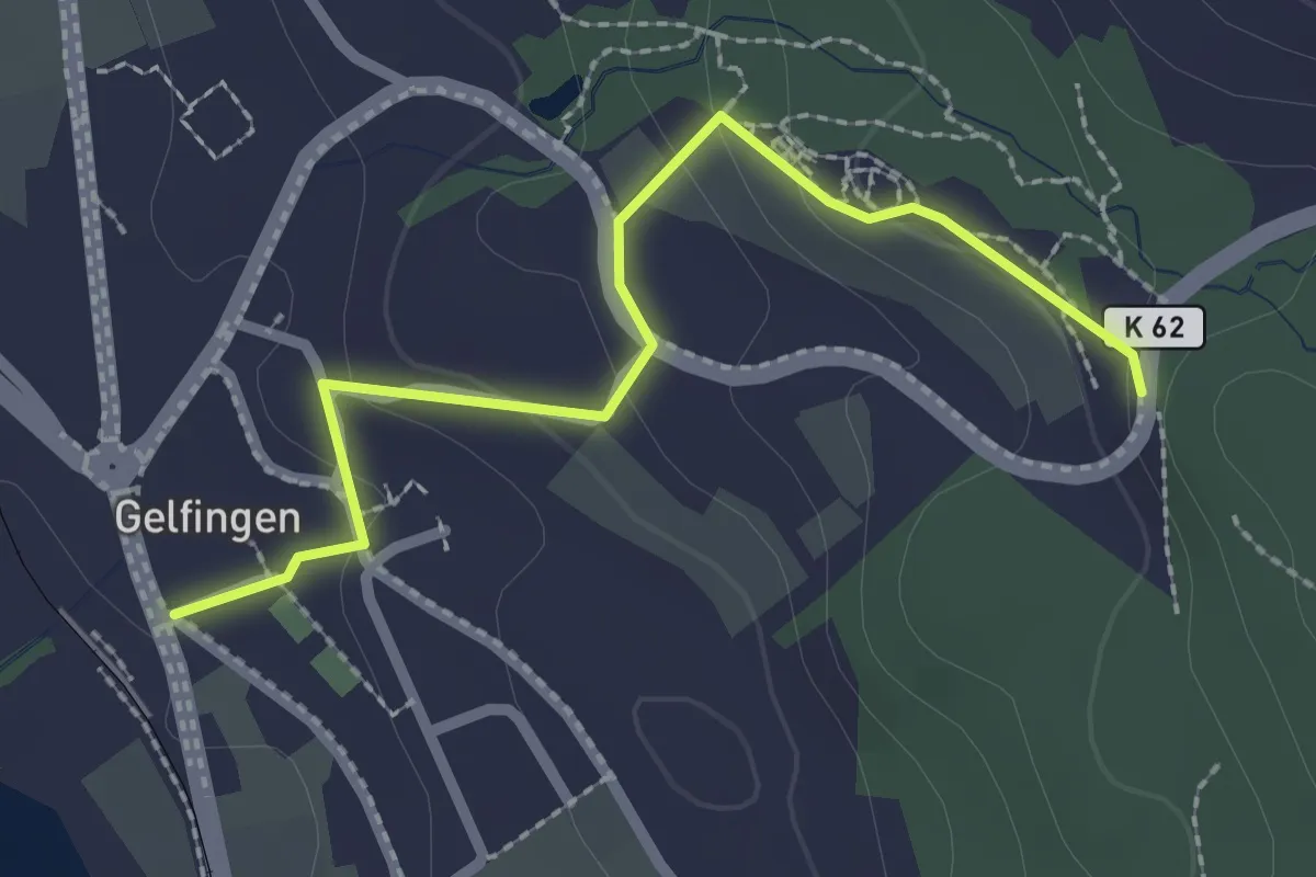
Easy · Trail
Gelfingen – Schloss Heidegg
2.4 km · ↑ 82 m · 45 min · 15 km away
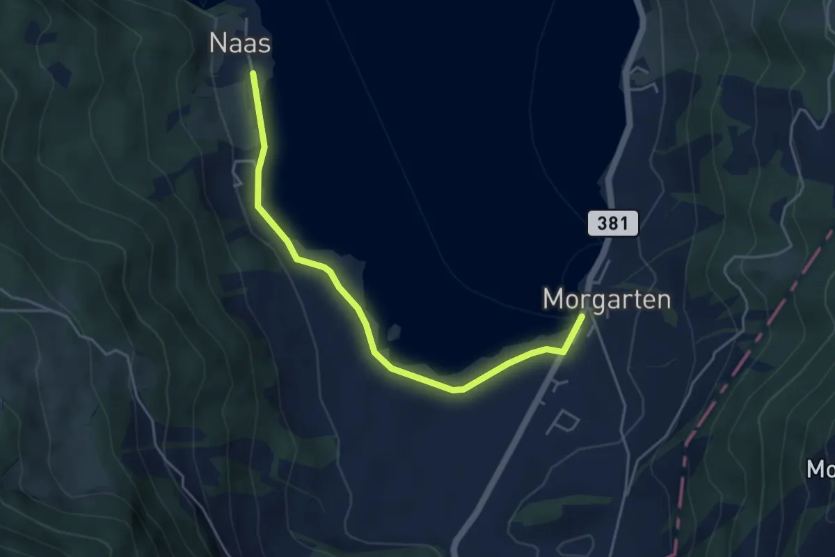
Easy · Trail
Nas – Morgarten Hauptsee
4.4 km · ↑ 19 m · 1 h 4 min · 15 km away
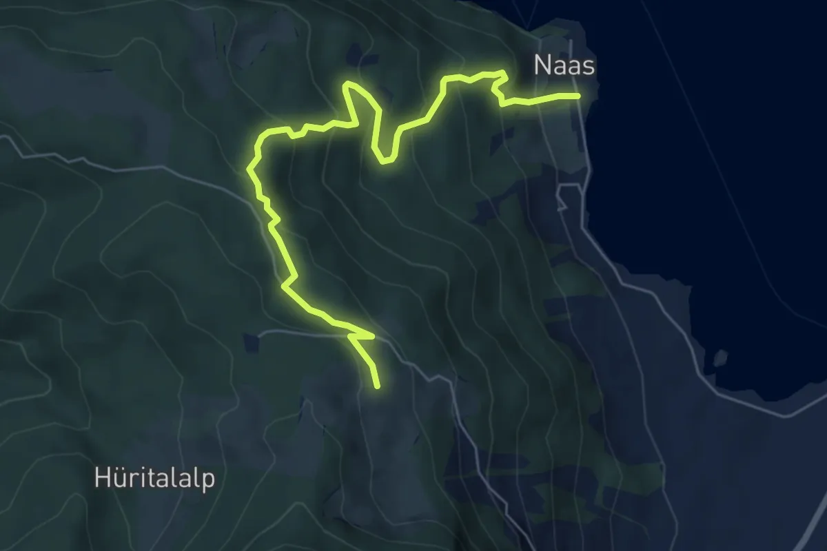
Medium · Trail
Ramenegg - Nas
6.7 km · ↑ 456 m · 2 h 34 min · 15 km away
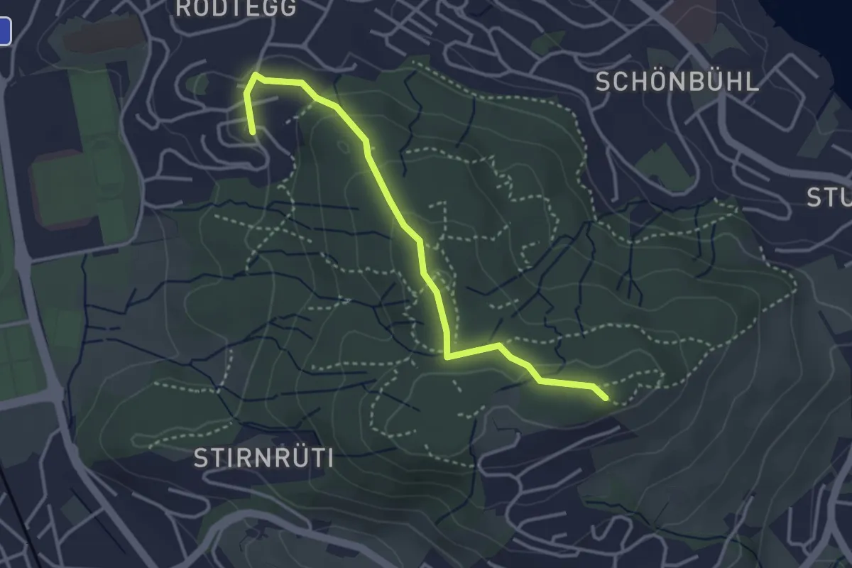
Easy · Trail
Biregghof - Seeblick
3.4 km · ↑ 119 m · 1 h 4 min · 15 km away
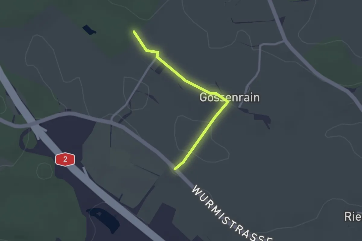
Easy · Trail
Hinderfeld - Gossenrain - Buehuse
2.1 km · ↑ 15 m · 31 min · 15 km away
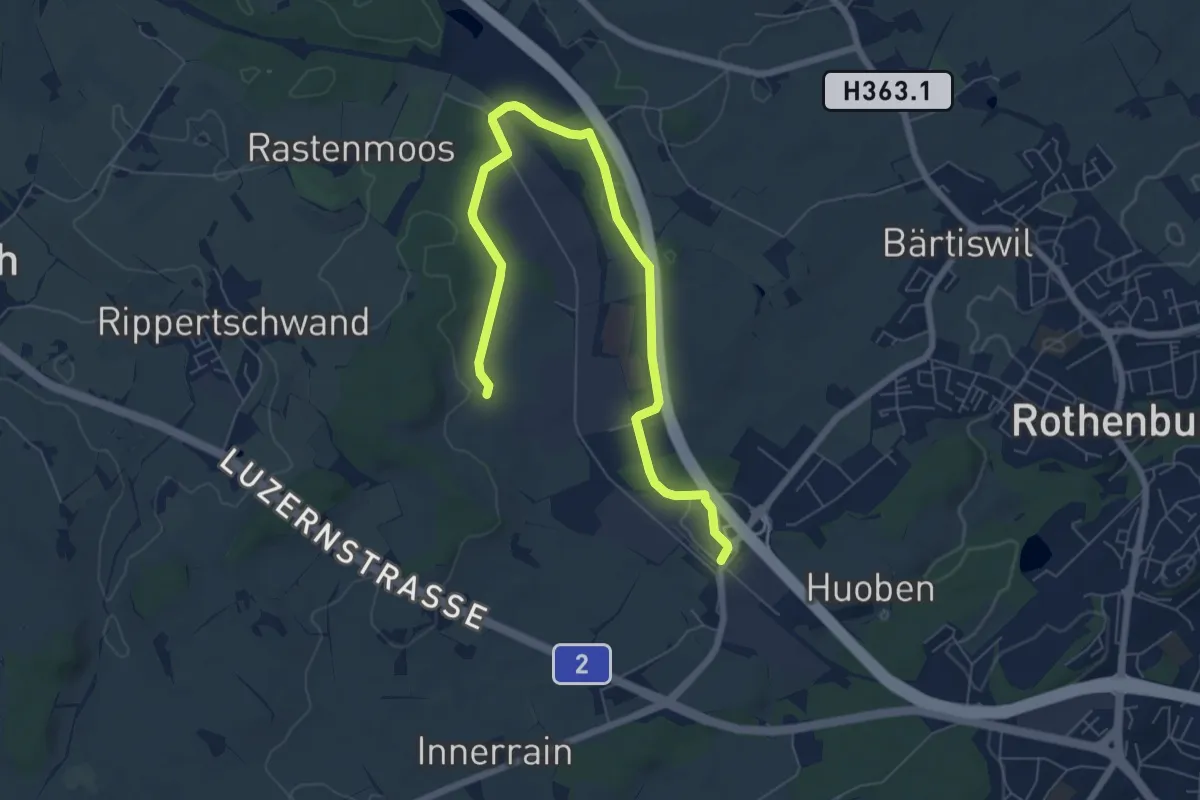
Medium · Trail
Rothenburg Station - Ober Wahligen
8.0 km · ↑ 59 m · 2 h 1 min · 15 km away
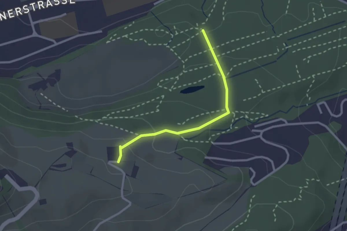
Easy · Trail
Schwizerhüsli – Gütschwald
2.1 km · ↑ 101 m · 42 min · 15 km away
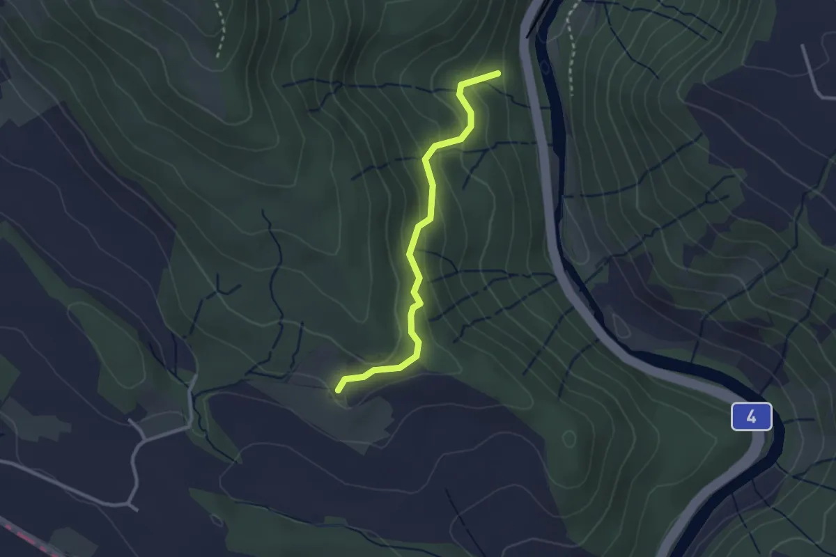
Easy · Trail
Schweikhof – Eschentobel
2.6 km · ↑ 147 m · 55 min · 15 km away
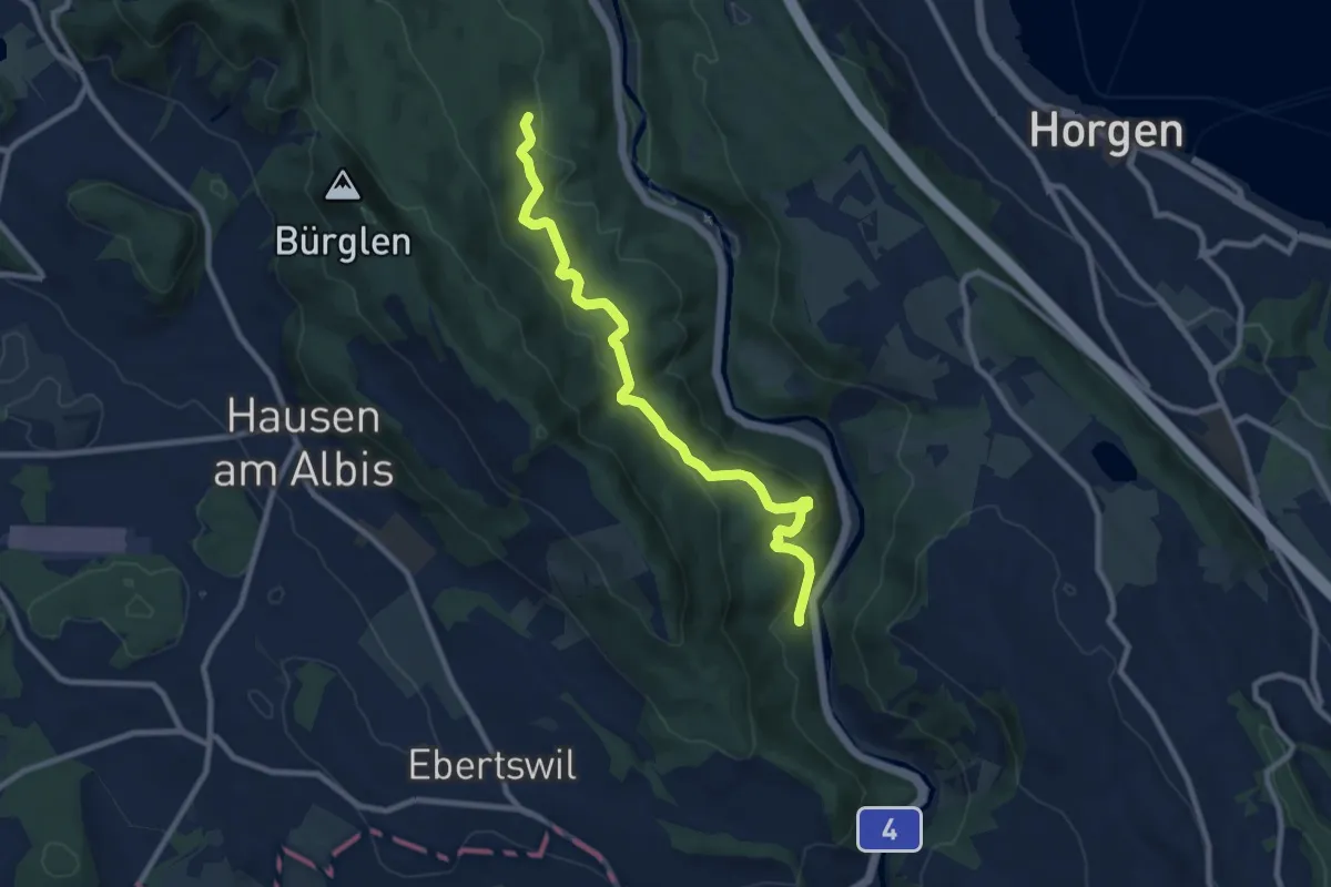
Medium · Trail
Eschentobel – Tannboden
9.4 km · ↑ 344 m · 2 h 58 min · 15 km away
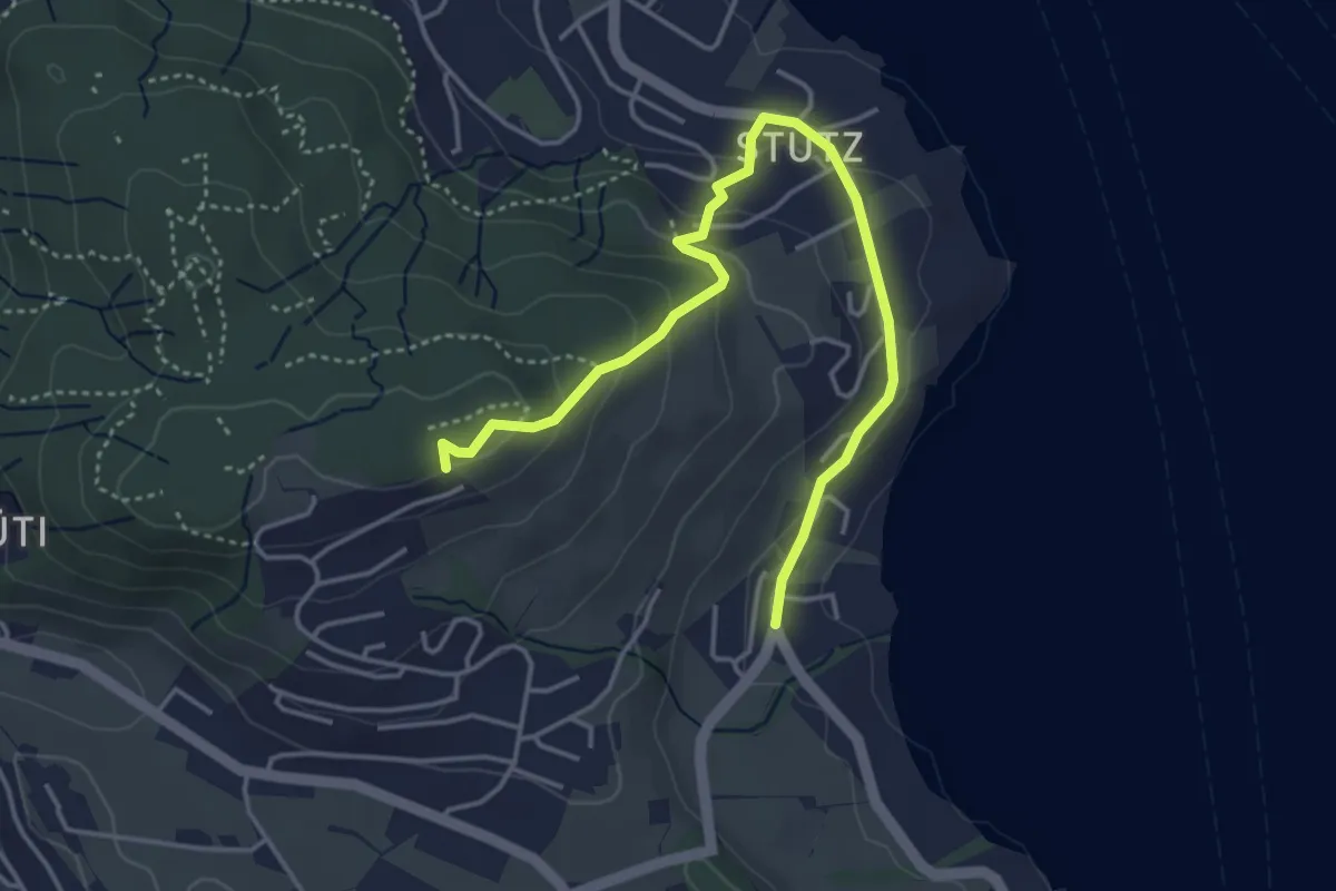
Easy · Trail
Stutz - Seeblick
4.6 km · ↑ 199 m · 1 h 31 min · 15 km away
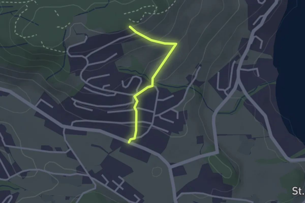
Easy · Trail
Seeblick - Felmis
2.0 km · ↑ 110 m · 43 min · 15 km away
Easy · Trail
Grenzhof - Reussbühl
2.2 km · ↑ 87 m · 43 min · 15 km away