Trails near Sarnen
375 hikes starting within 15 km, nearest first.
Nearest first, page 1 of 8
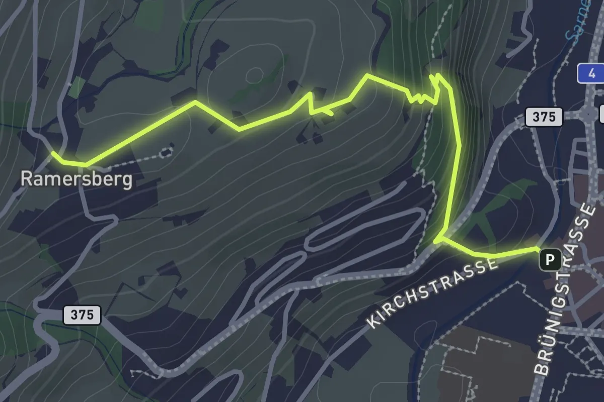
Easy · Trail
Ramserberg – Sarnen Dorfplatz
3.4 km · ↑ 192 m · 1 h 12 min · under 1 km away
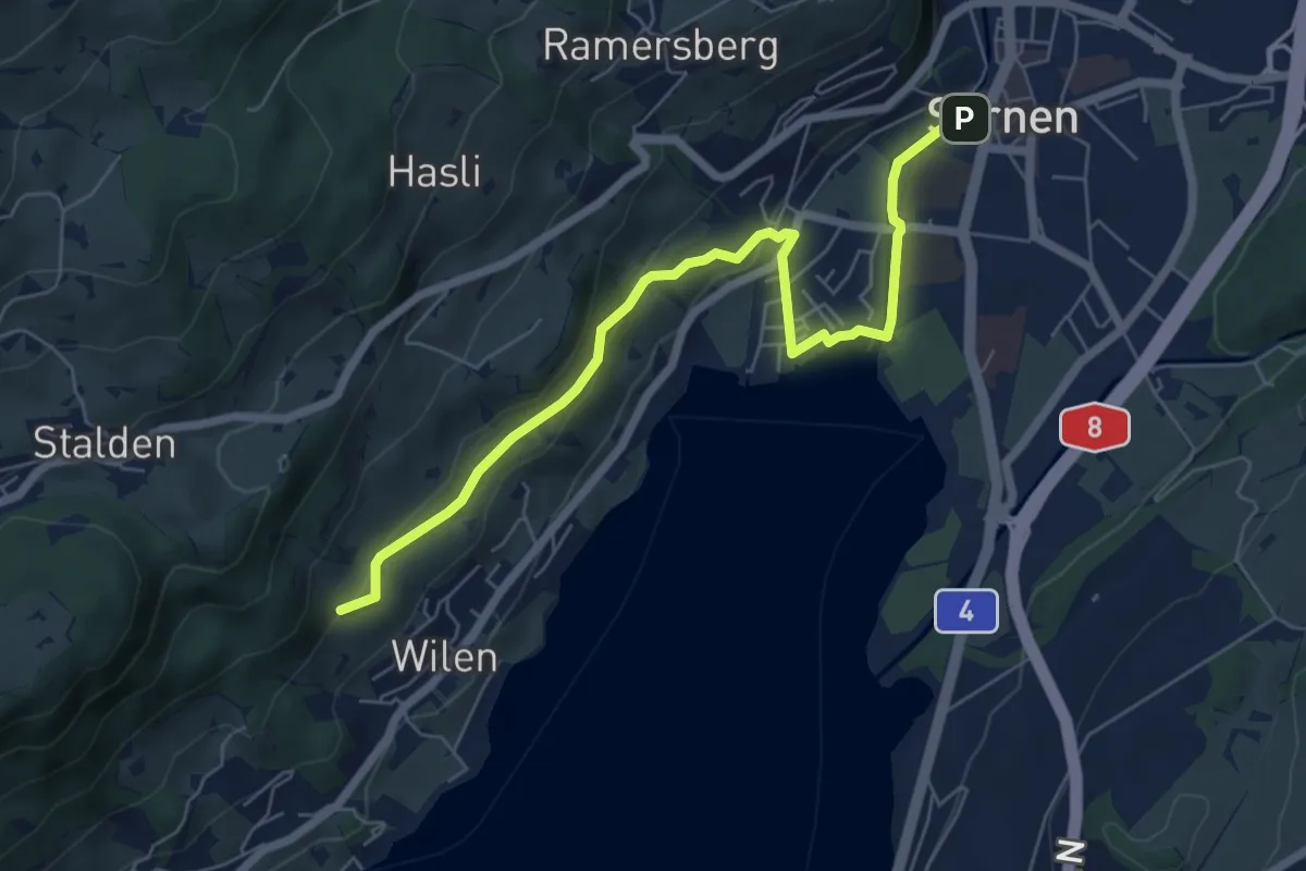
Easy · Trail
Sarnen - Giglen/Wilen
6.7 km · ↑ 176 m · 1 h 58 min · under 1 km away
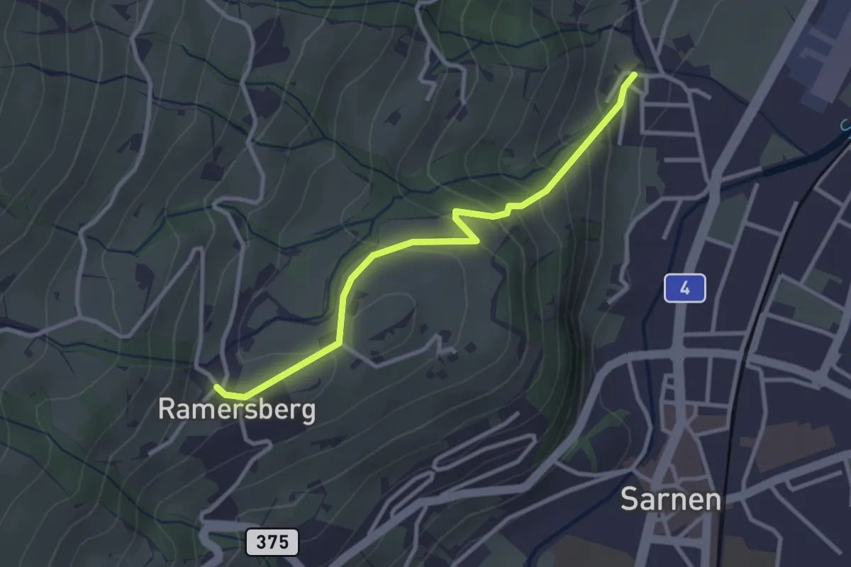
Easy · Trail
Ramserberg – Bitzighofen
2.9 km · ↑ 179 m · 1 h 5 min · 1 km away
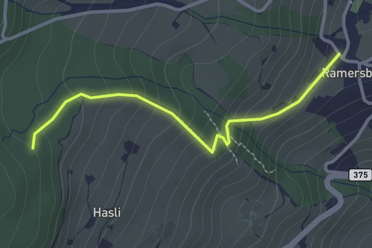
Easy · Trail
Rappenwald – Ramserberg
2.3 km · ↑ 165 m · 53 min · 2 km away
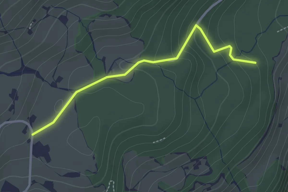
Easy · Trail
Mosacher – Rappenwald
2.4 km · ↑ 101 m · 47 min · 2 km away
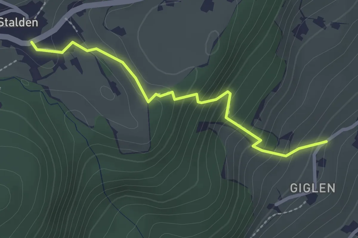
Easy · Trail
Güglen - Stalden
2.2 km · ↑ 191 m · 56 min · 2 km away
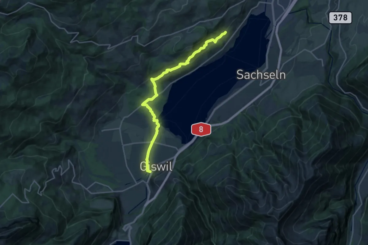
Medium · Trail
Giswil - Giglen/Wilen
16.4 km · ↑ 680 m · 5 h 21 min · 2 km away
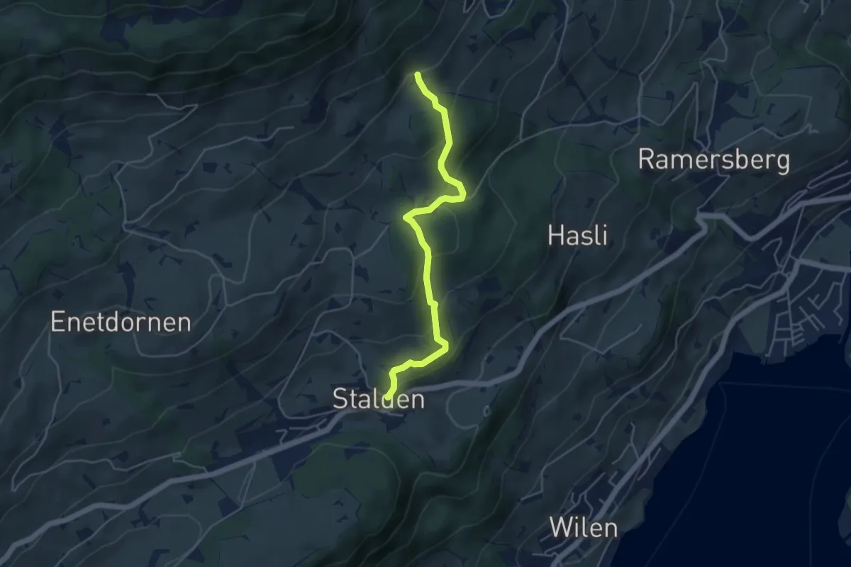
Easy · Trail
Stalden – Schalf
4.3 km · ↑ 246 m · 1 h 33 min · 3 km away
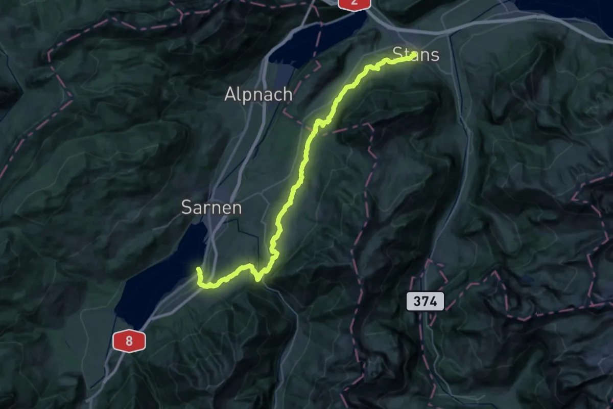
Demanding · Trail
Bruder-Klausen-Weg
20.2 km · ↑ 712 m · 6 h 36 min · 3 km away
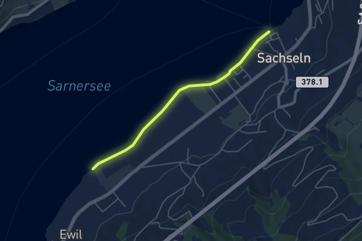
Easy · Trail
Sachseln – Ewil Maxon
3.9 km · ↑ 8 m · 56 min · 3 km away
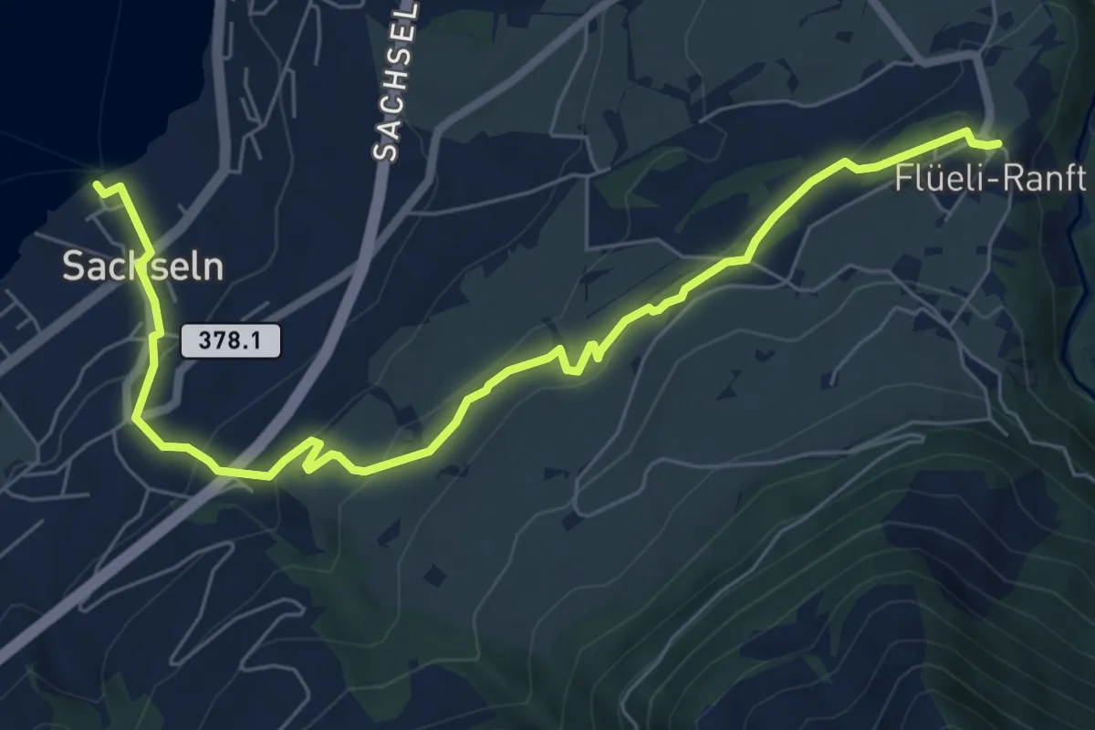
Easy · Trail
Flüeli Ranft – Sachseln
7.7 km · ↑ 303 m · 2 h 28 min · 3 km away
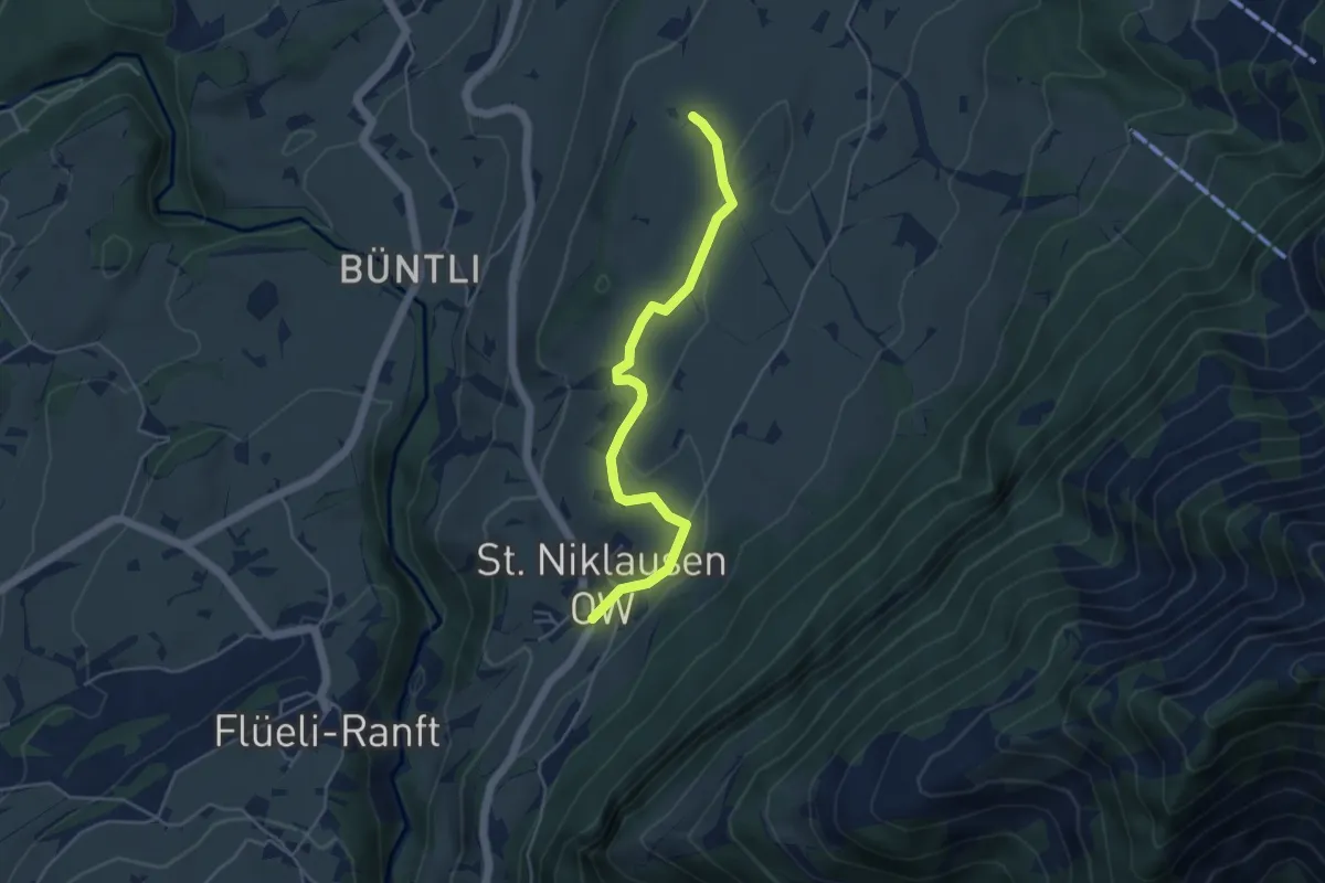
Easy · Trail
St. Niklausen – Eggli
4.5 km · ↑ 63 m · 1 h 12 min · 3 km away
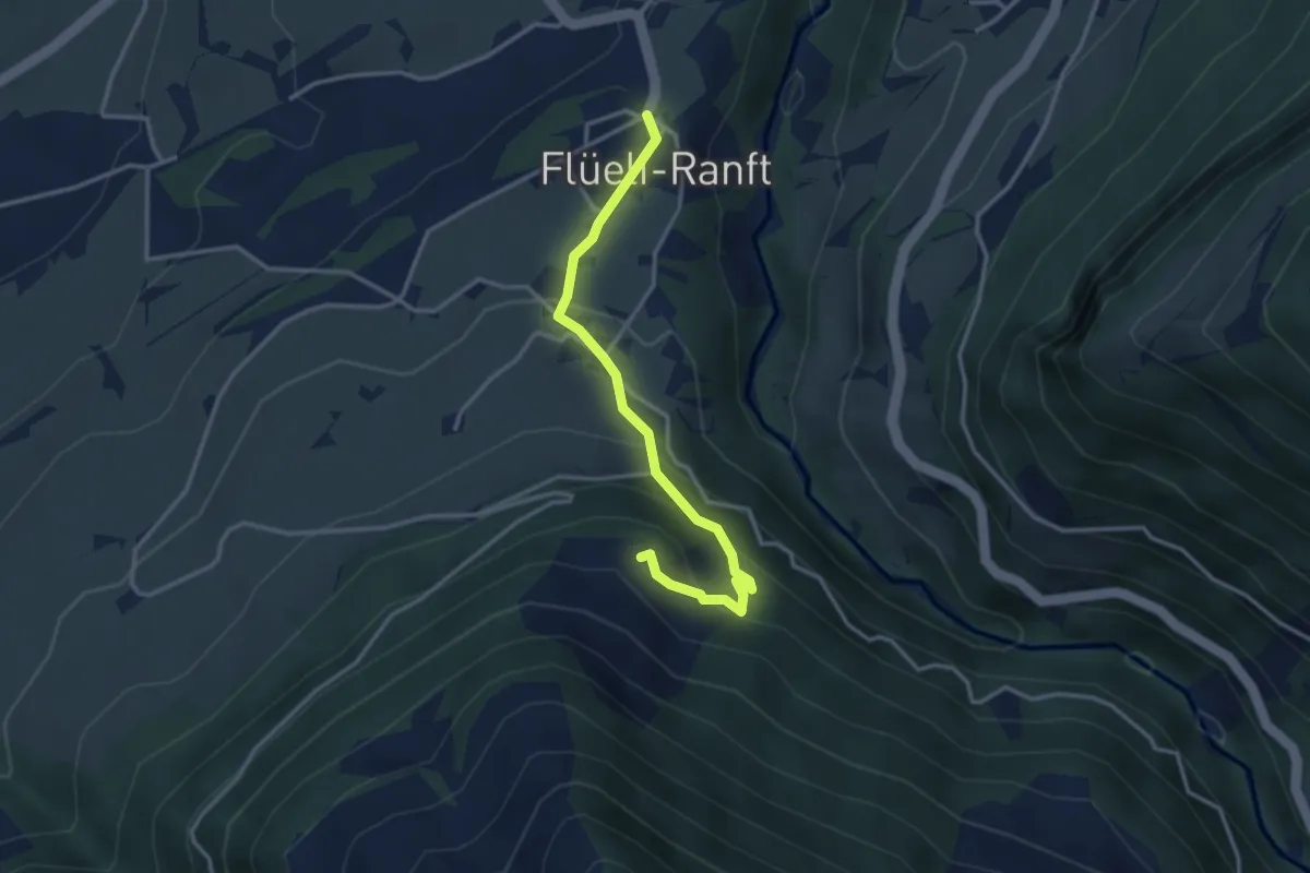
Easy · Trail
Barfeld - Flüeli Ranft
3.3 km · ↑ 216 m · 1 h 14 min · 3 km away
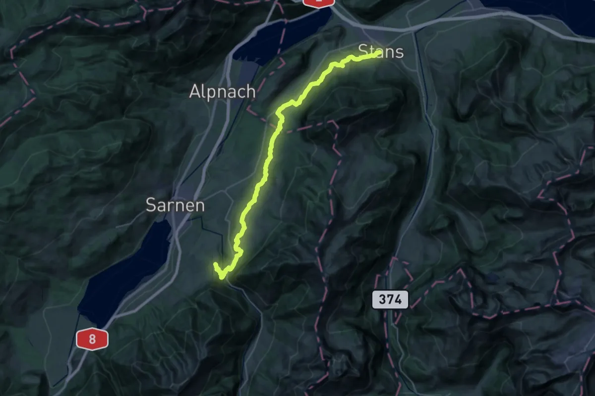
Medium · Trail
ViaJacobi
16.4 km · ↑ 390 m · 5 h 5 min · 3 km away
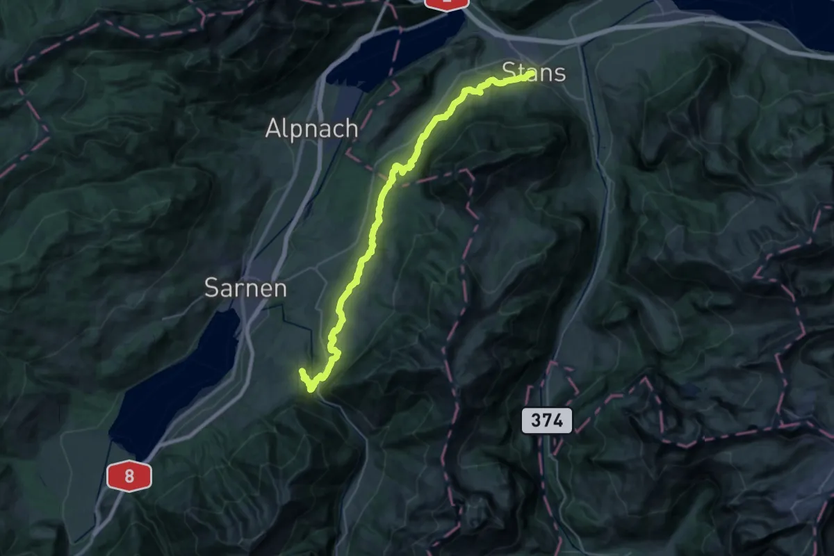
Medium · Trail
Trans Swiss Trail
16.4 km · ↑ 437 m · 5 h 10 min · 3 km away
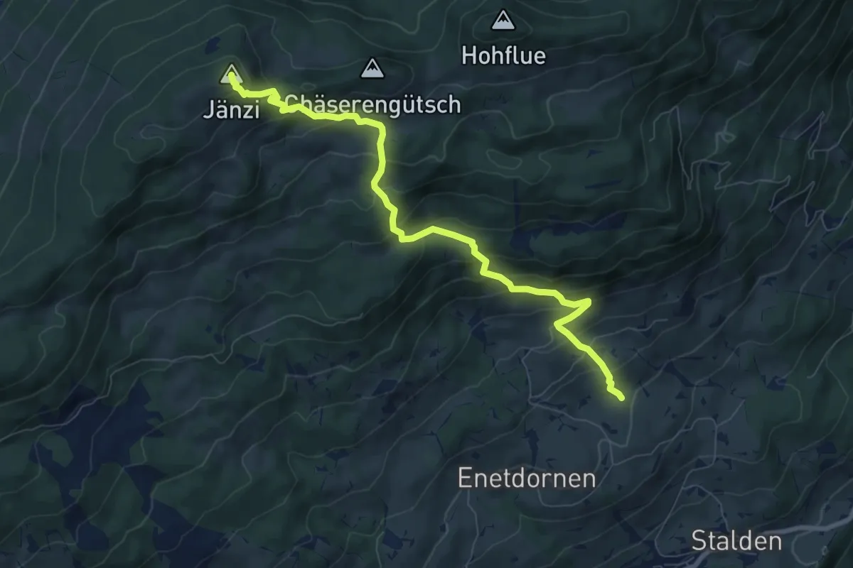
Medium · Summit
Jänzi – Rütimos
8.4 km · ↑ 721 m · 3 h 33 min · 3 km away
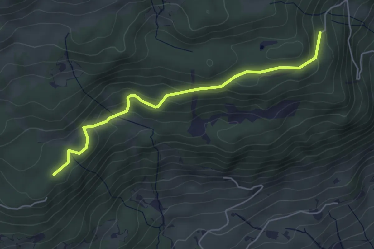
Easy · Trail
Stillenbach – Schnellengrat
4.6 km · ↑ 176 m · 1 h 28 min · 3 km away
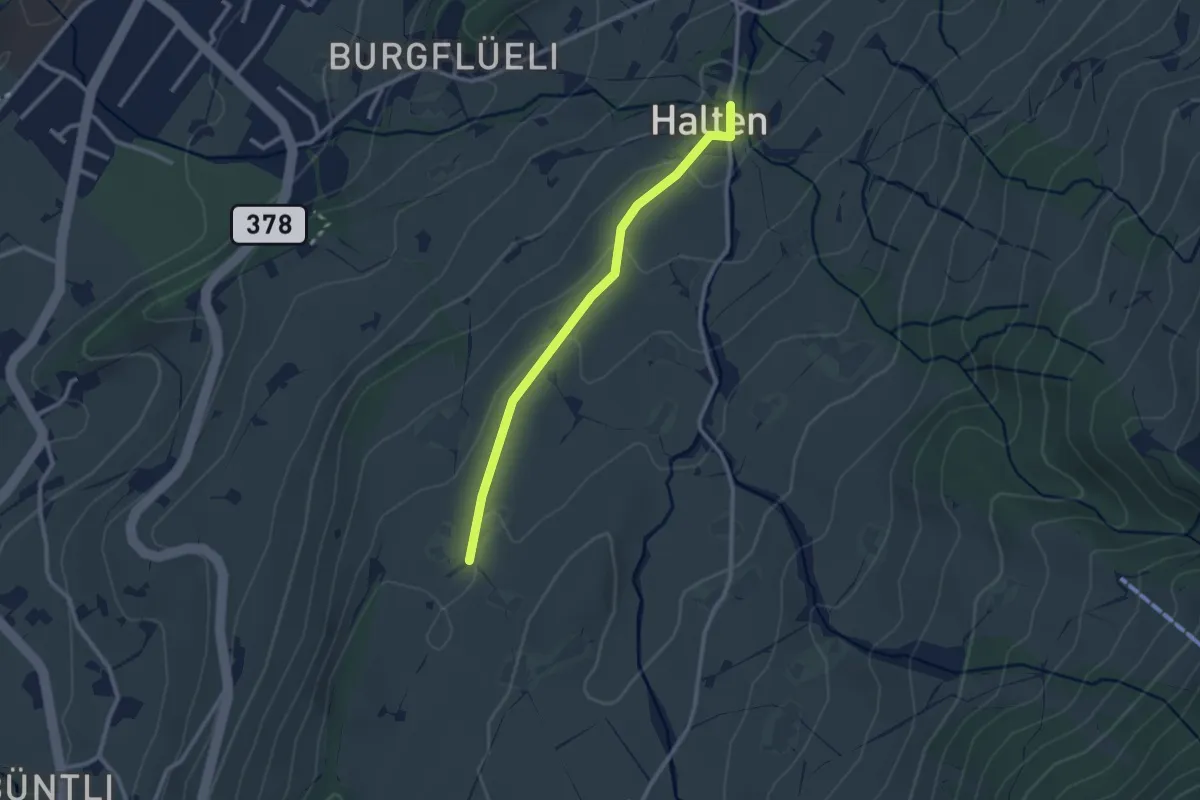
Easy · Trail
Eggli – St. Anton
2.4 km · ↑ 70 m · 43 min · 4 km away
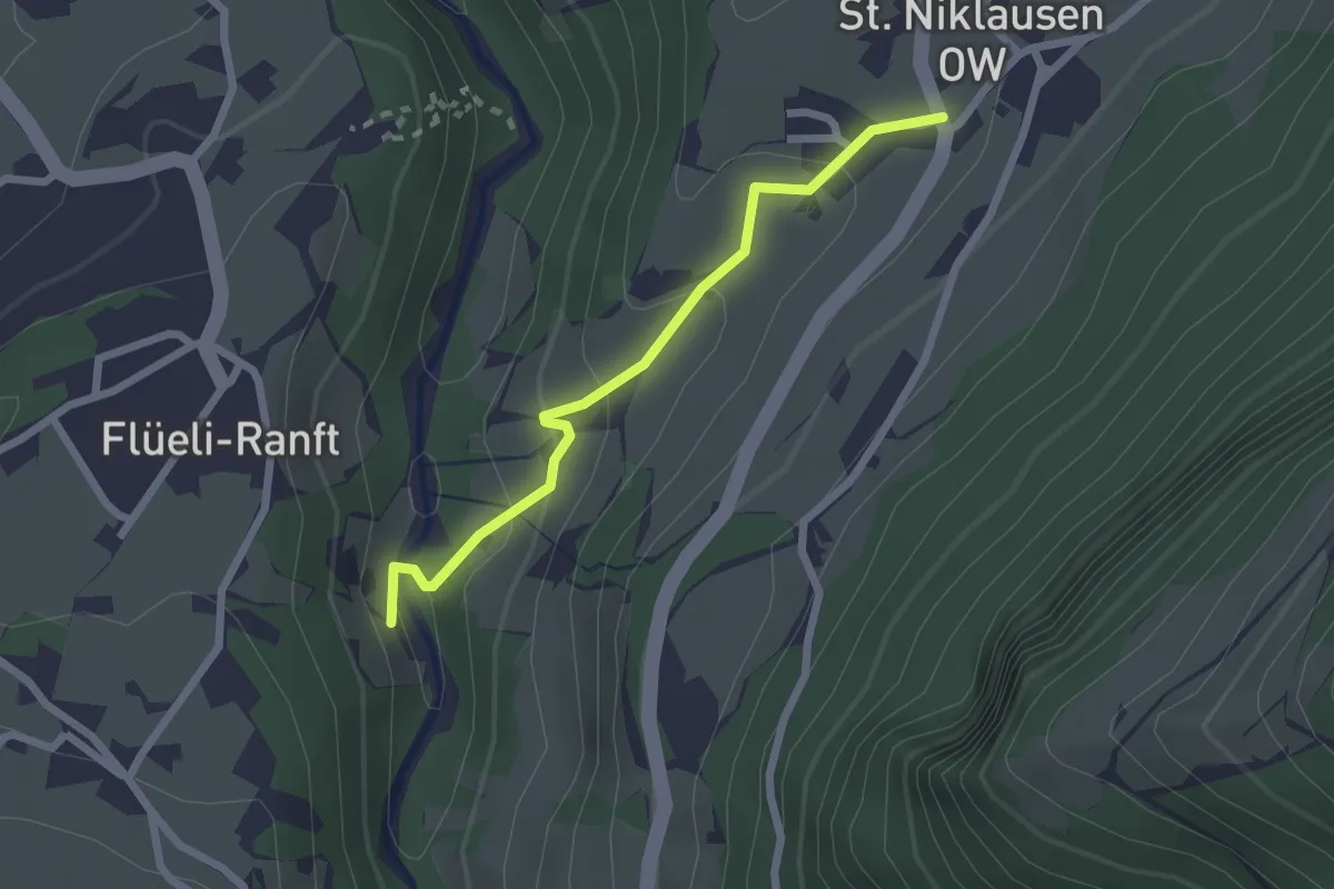
Easy · Trail
Ranft – St. Niklausen
2.1 km · ↑ 120 m · 46 min · 4 km away
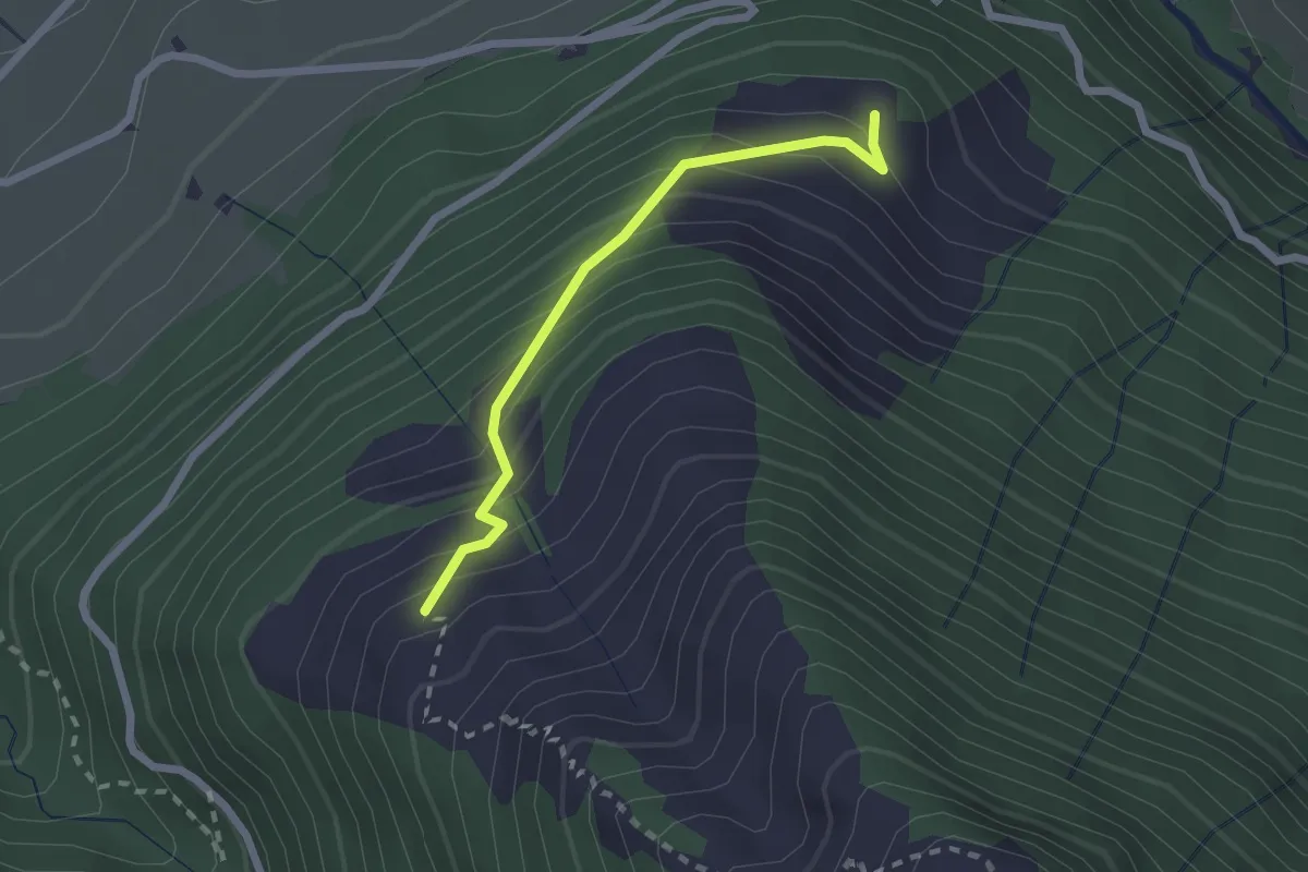
Easy · Trail
Unter Büelen - Barfeld
2.0 km · ↑ 237 m · 1 h · 4 km away
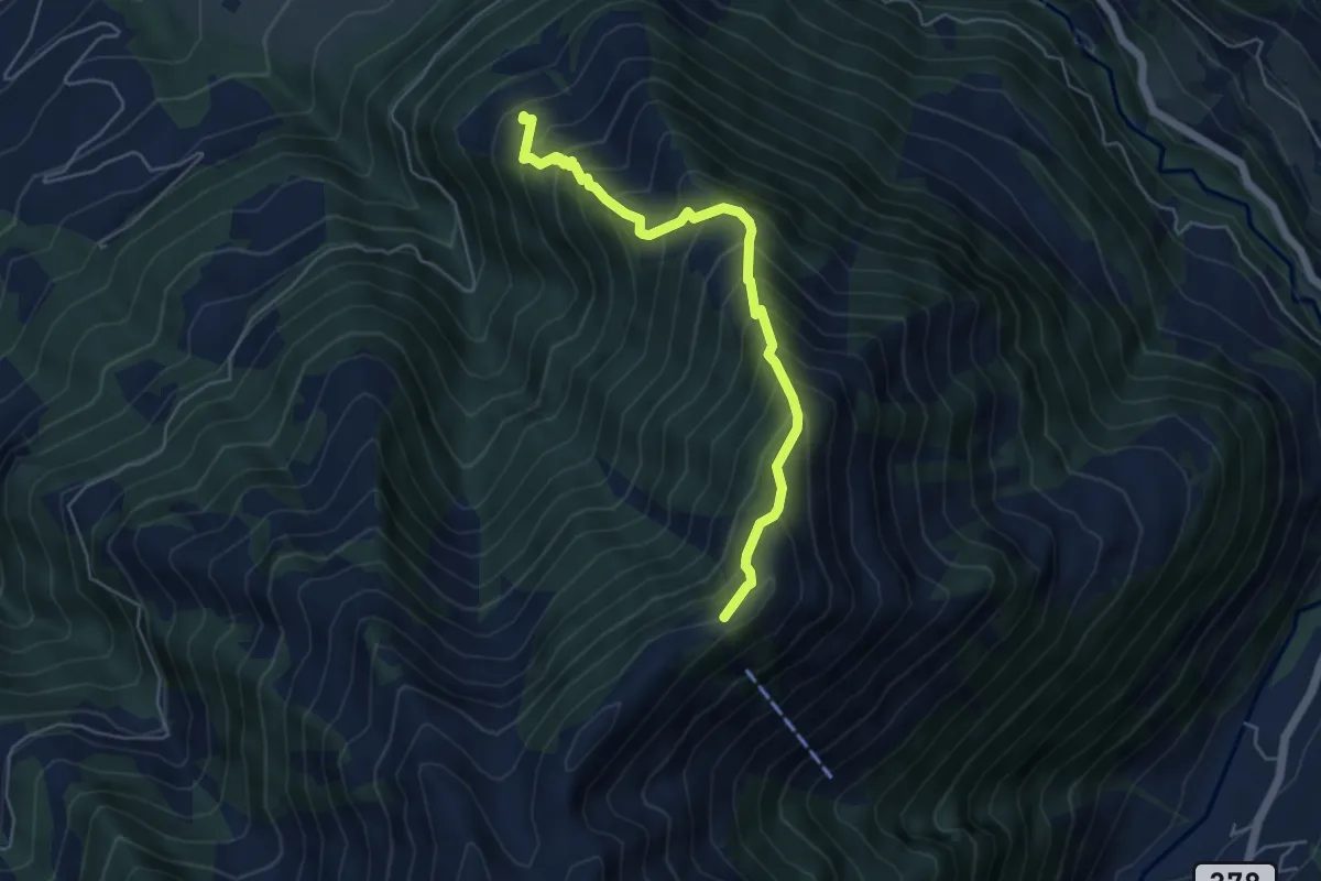
Demanding · Summit
Höch Dossen - Unter Büelen
5.1 km · ↑ 717 m · 2 h 45 min · 4 km away
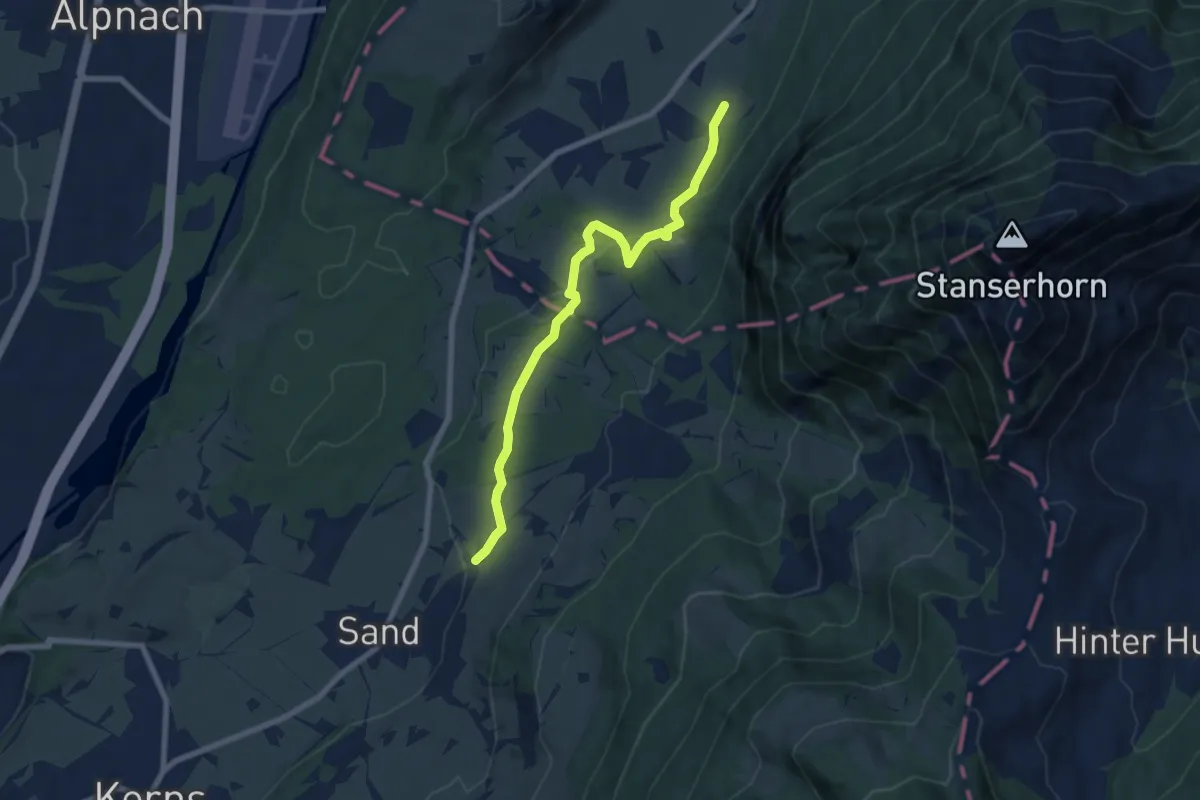
Easy · Trail
Wisserlen Hostatt – Halten (NW)
7.5 km · ↑ 227 m · 2 h 16 min · 5 km away
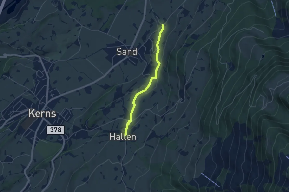
Easy · Trail
St. Anton – Wisserlen Hostatt
4.0 km · ↑ 115 m · 1 h 12 min · 5 km away
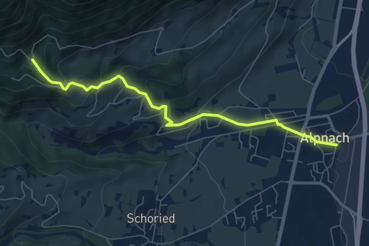
Medium · Trail
Alpnach Dorf - Winterhalten
6.1 km · ↑ 372 m · 2 h 15 min · 6 km away
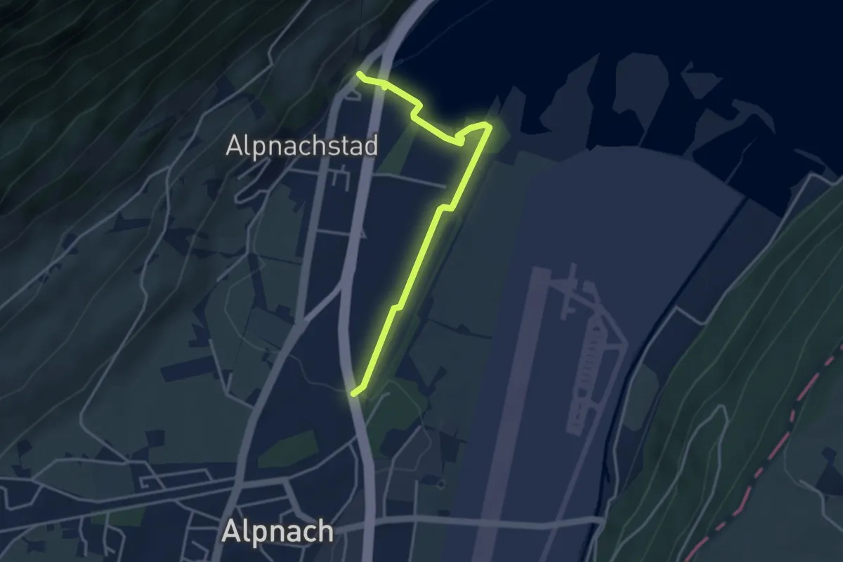
Easy · Trail
Alpnachstad – Alpnach
3.5 km · ↑ 37 m · 54 min · 6 km away
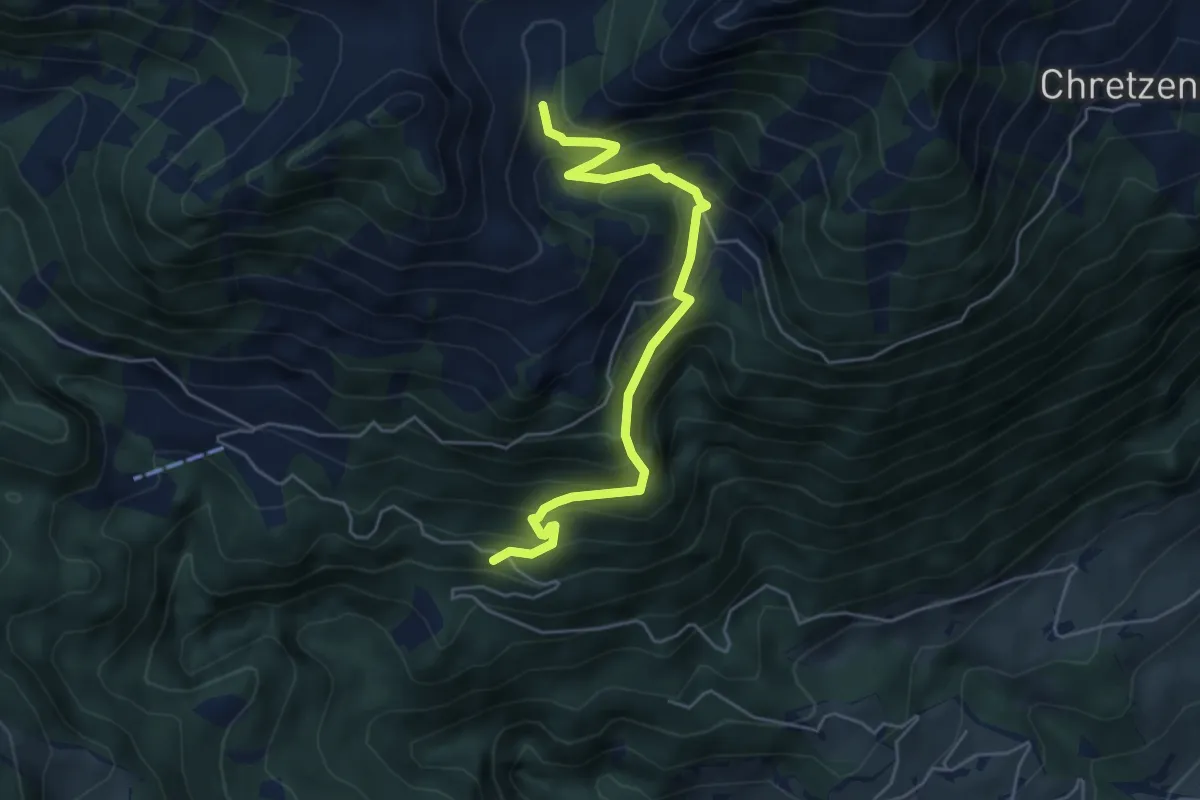
Medium · Trail
Deneten- Skiaufstieg
5.3 km · ↑ 527 m · 2 h 23 min · 6 km away
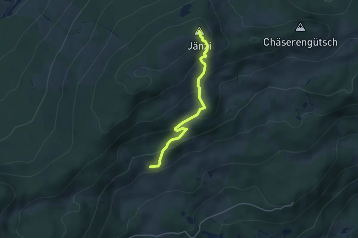
Medium · Summit
Jänzi – Wolfetsmatt
3.3 km · ↑ 249 m · 1 h 19 min · 6 km away
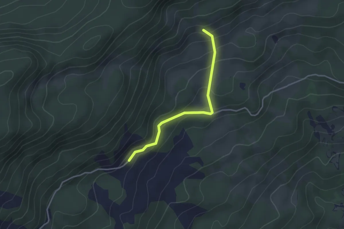
Easy · Trail
Wolfetsmatt - Ritzenmatt
2.8 km · ↑ 175 m · 1 h 2 min · 6 km away
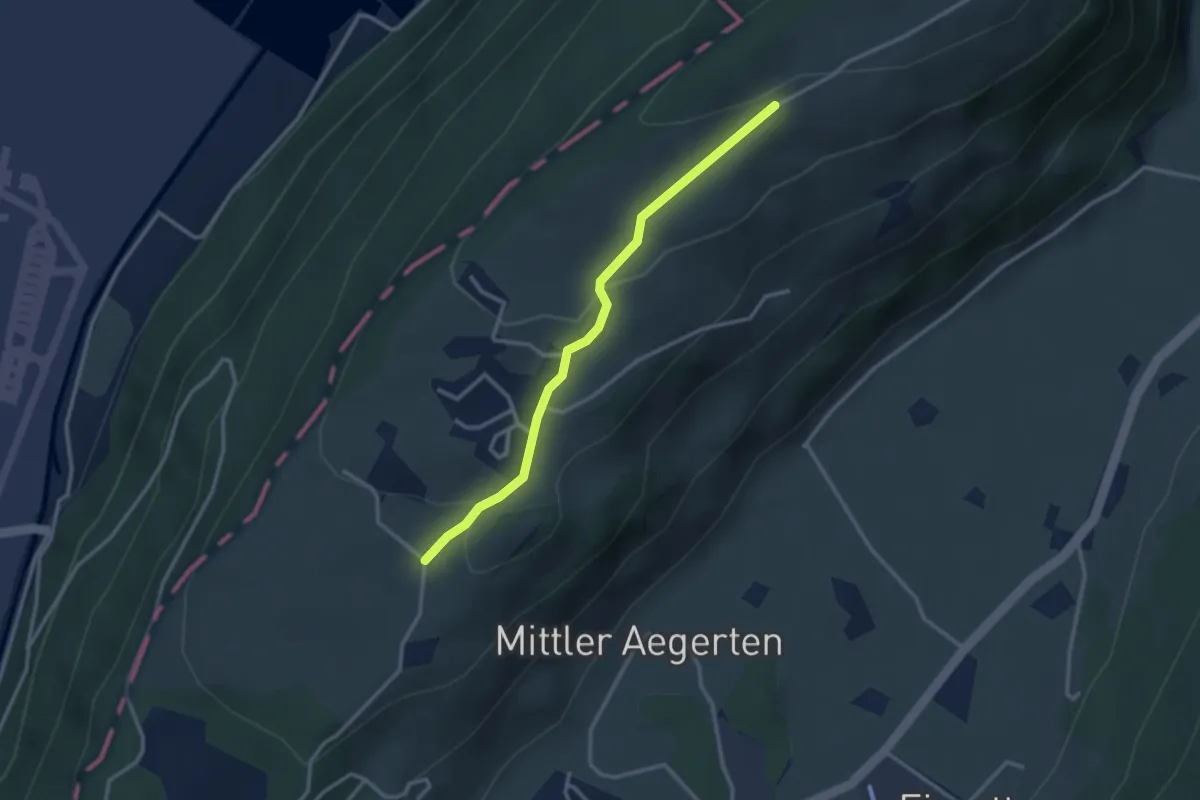
Easy · Trail
Grossitz – Gruebli
2.8 km · ↑ 109 m · 55 min · 6 km away
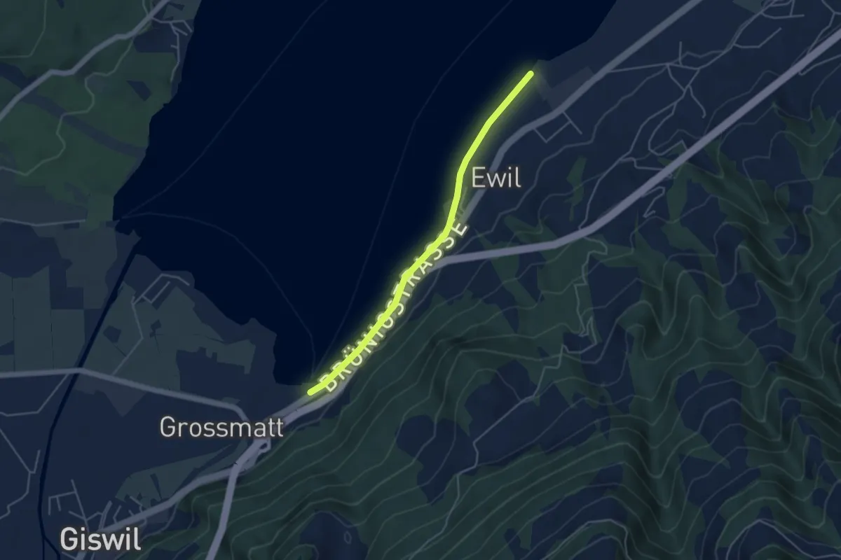
Easy · Trail
Ewil Maxon – Zollhaus
4.2 km · ↑ 4 m · 1 h · 7 km away
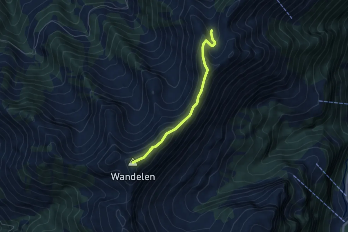
Expert · Summit
Wandelen - Stockalp
4.7 km · ↑ 305 m · 1 h 46 min · 7 km away
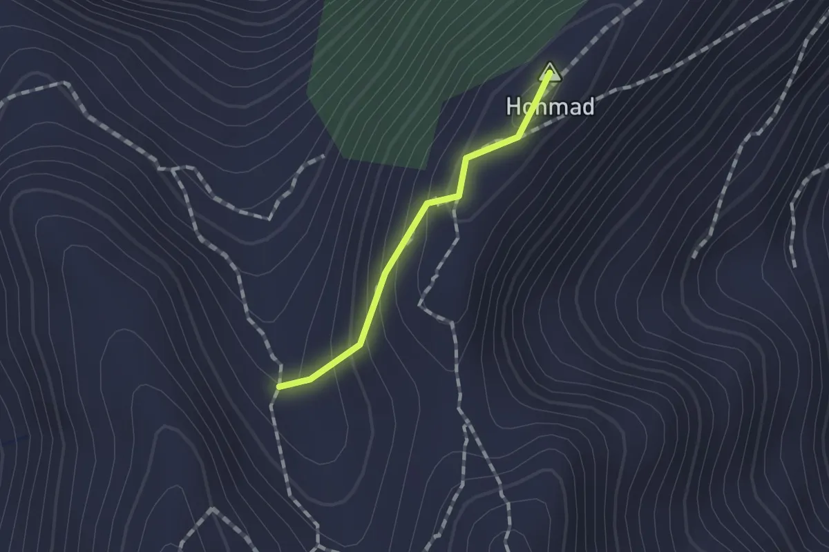
Demanding · Summit
Stockalp - Höchdossen
0.9 km · ↑ 78 m · 24 min · 7 km away
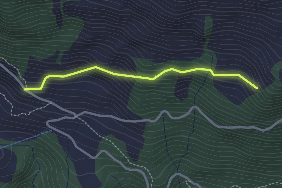
Easy · Trail
Schwandi - Lütoldsmatt
2.0 km · ↑ 160 m · 49 min · 7 km away
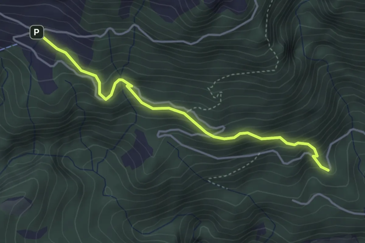
Medium · Trail
Winterhalten - Lütoldsmatt
3.8 km · ↑ 382 m · 1 h 43 min · 7 km away
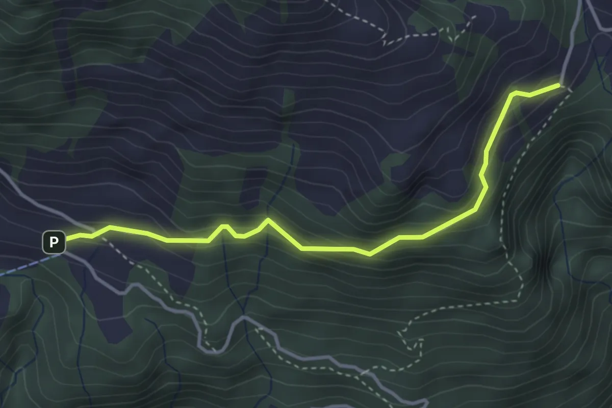
Easy · Trail
Lütoldsmatt - Deneten
3.5 km · ↑ 275 m · 1 h 25 min · 7 km away
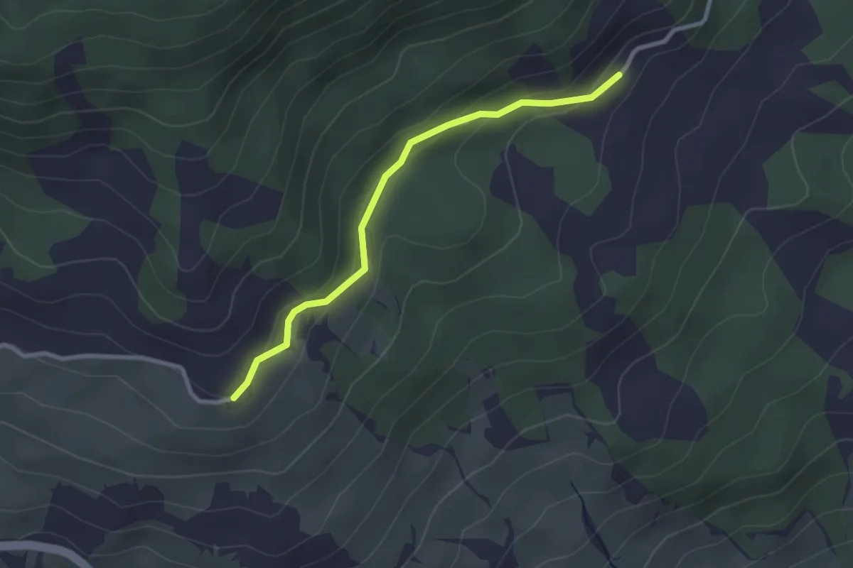
Easy · Trail
Ritzenmatt - Hohnegg
2.5 km · ↑ 93 m · 48 min · 7 km away
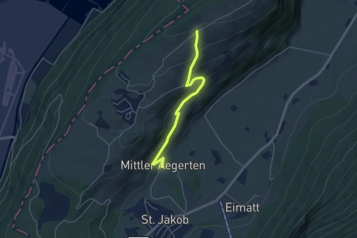
Easy · Trail
Grossitz – Mittelägerten
3.8 km · ↑ 263 m · 1 h 28 min · 7 km away
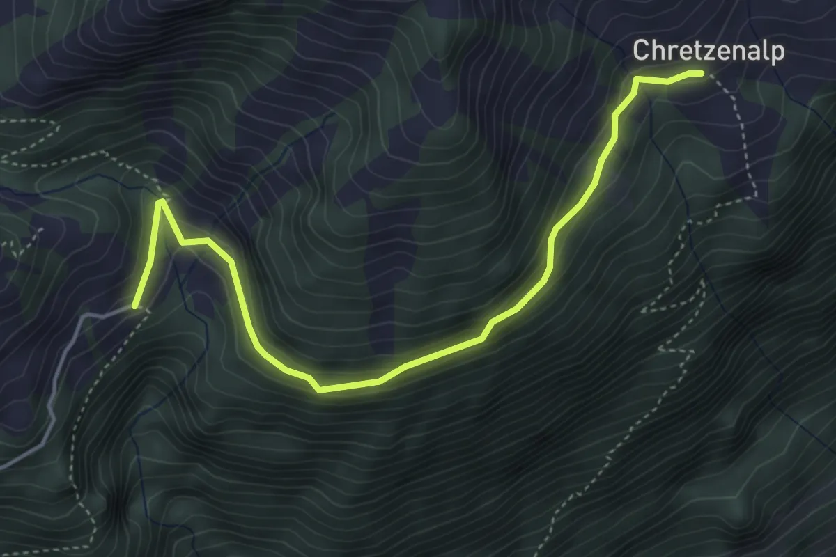
Easy · Trail
Deneten - Under Chretzen
4.6 km · ↑ 245 m · 1 h 37 min · 7 km away
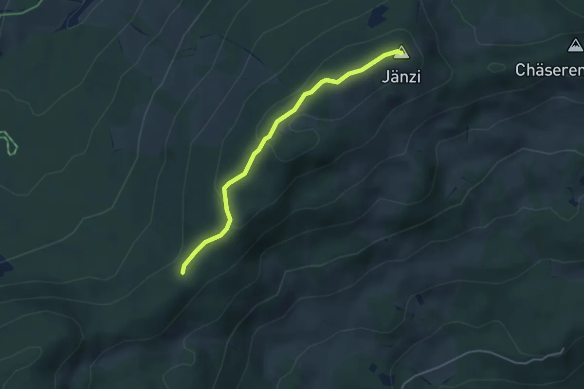
Easy · Summit
Egg – Jänzi
3.3 km · ↑ 136 m · 1 h 5 min · 7 km away
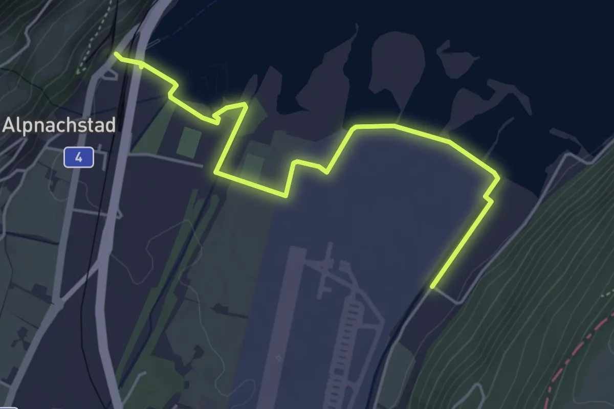
Easy · Trail
Alpnachstad – Wichelsee
5.2 km · ↑ 17 m · 1 h 16 min · 7 km away
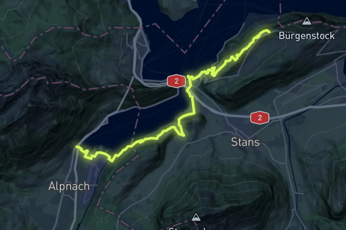
Demanding · Trail
Waldstätterweg - Etappe 5
15.3 km · ↑ 1052 m · 5 h 53 min · 7 km away
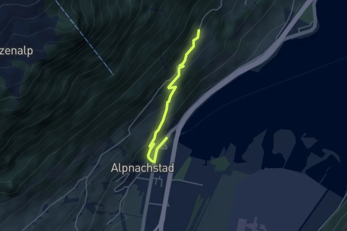
Easy · Trail
Alpnachstad – Grossrüti
3.4 km · ↑ 235 m · 1 h 18 min · 7 km away
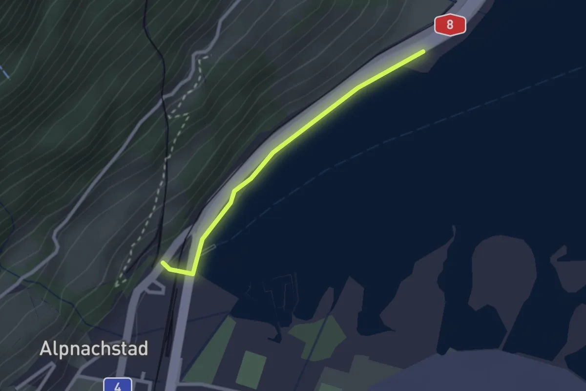
Easy · Trail
Alpnachstad – Niederstad
2.1 km · ↑ 28 m · 33 min · 7 km away
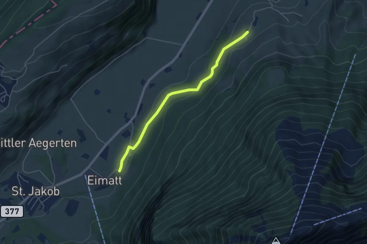
Easy · Trail
Halten – Brunnisboden
4.3 km · ↑ 131 m · 1 h 18 min · 7 km away
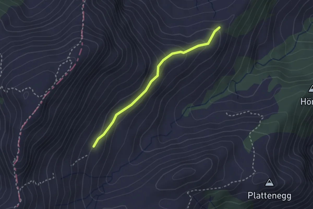
Easy · Trail
Schellenfluehütte – Miserengrat
2.3 km · ↑ 131 m · 49 min · 7 km away
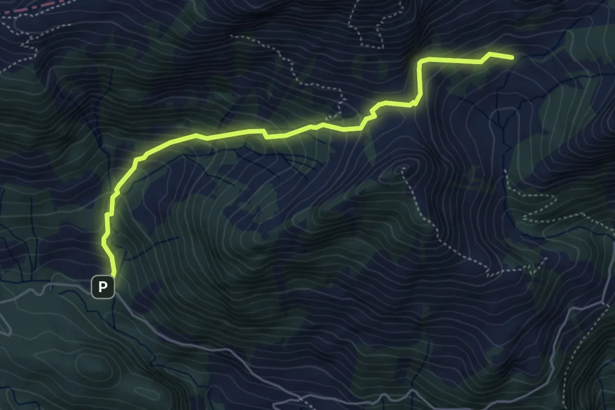
Medium · Trail
Fräkmünt - Schybach
5.1 km · ↑ 567 m · 2 h 25 min · 7 km away
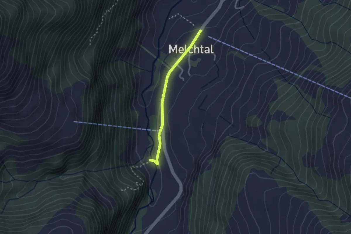
Easy · Trail
Melchtal - Fluemätteli
2.0 km · ↑ 30 m · 33 min · 7 km away
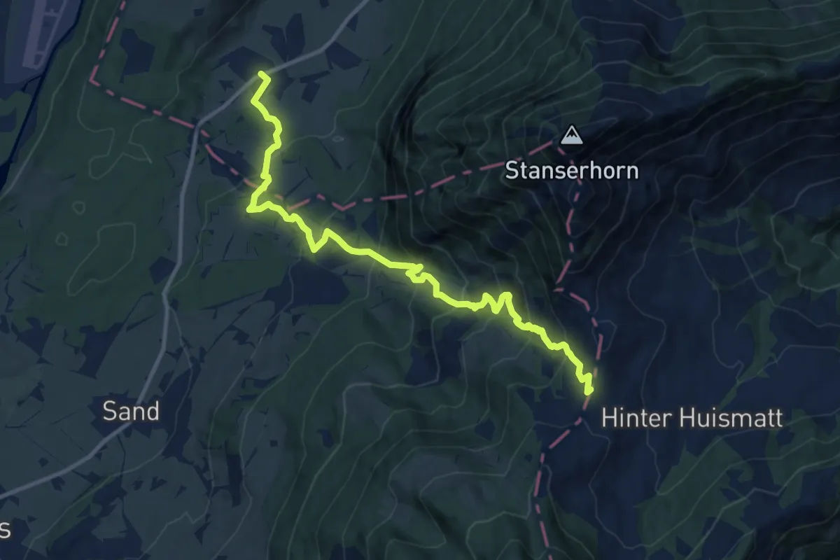
Demanding · Trail
St Jakob – Chliächerli
12.0 km · ↑ 913 m · 4 h 49 min · 8 km away