Trails near Sarnen
375 hikes starting within 15 km, nearest first.
Nearest first, page 2 of 8
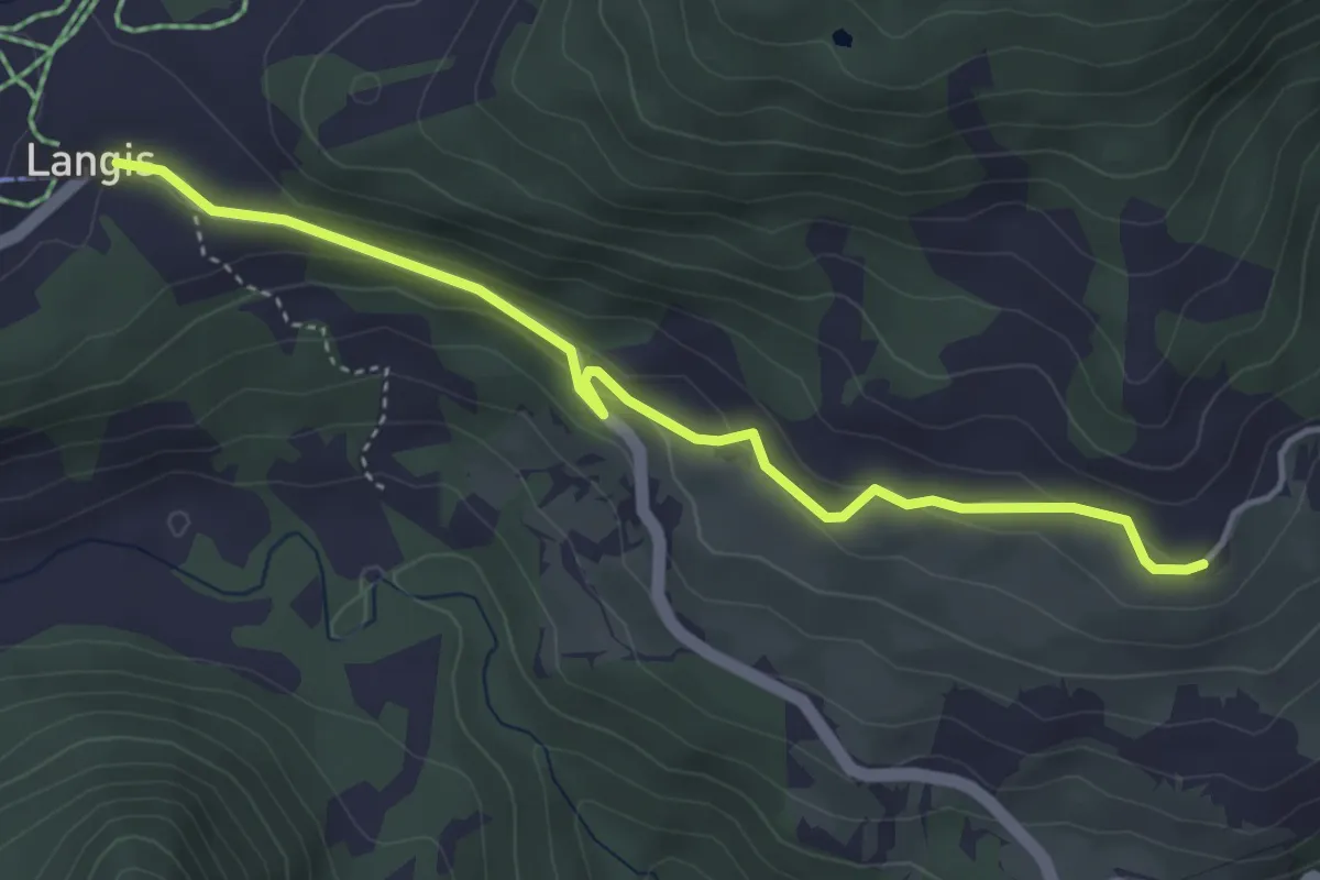
Easy · Trail
Hohnegg - Langis
4.2 km · ↑ 130 m · 1 h 16 min · 8 km away
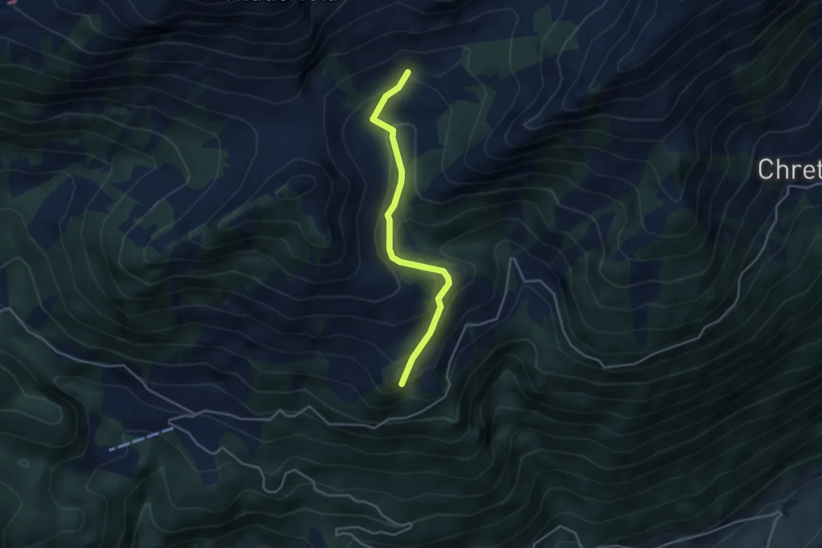
Easy · Trail
Fräkmünt - Langenmatt
3.3 km · ↑ 239 m · 1 h 18 min · 8 km away
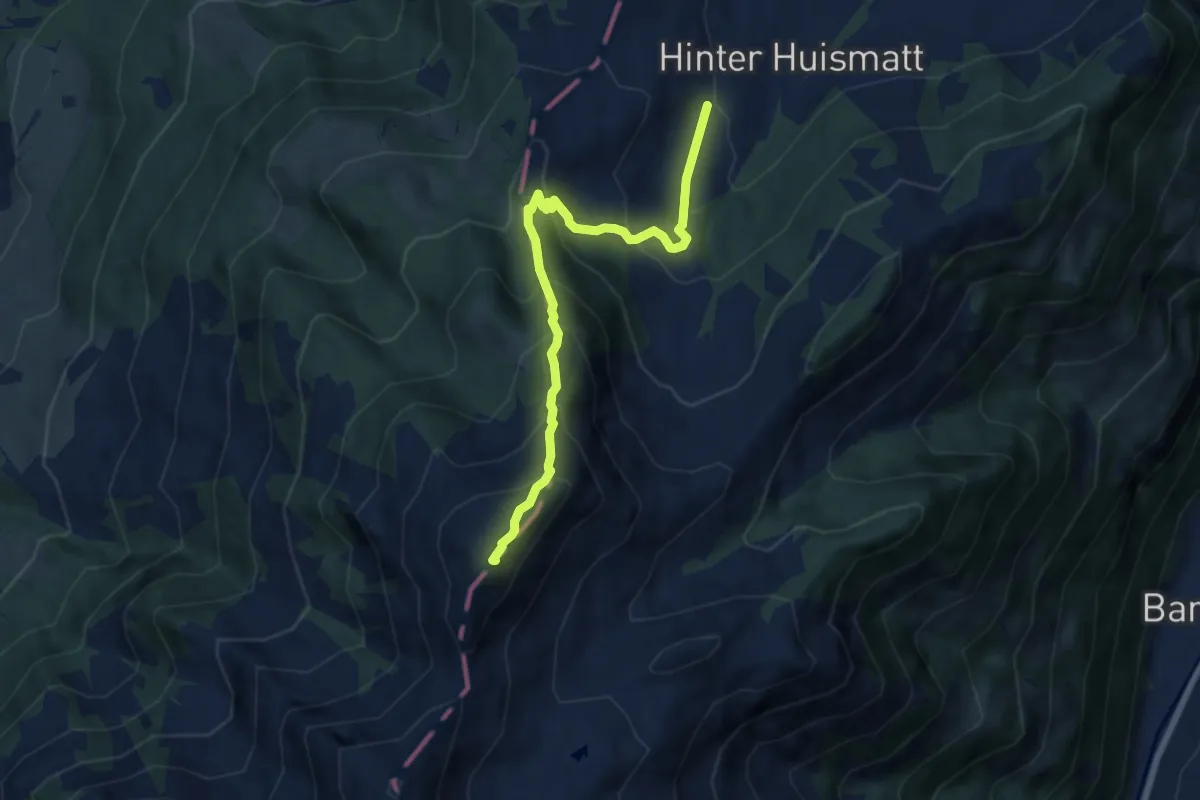
Demanding · Summit
Dürrenboden – Arvigrat
7.3 km · ↑ 662 m · 3 h 9 min · 8 km away
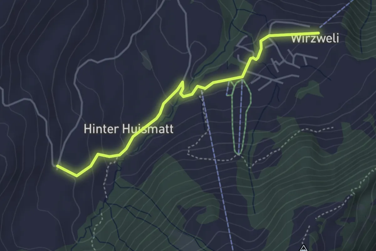
Easy · Trail
Dürrenboden – Wirzweli
4.0 km · ↑ 121 m · 1 h 12 min · 8 km away
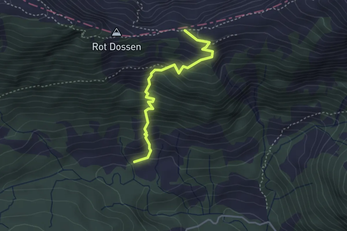
Medium · Trail
Märenschlag - Felli
3.1 km · ↑ 388 m · 1 h 34 min · 8 km away
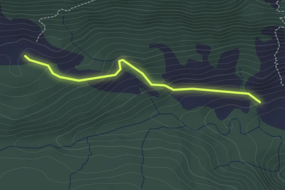
Easy · Trail
Märenschlag - Balismatt
2.3 km · ↑ 150 m · 52 min · 8 km away
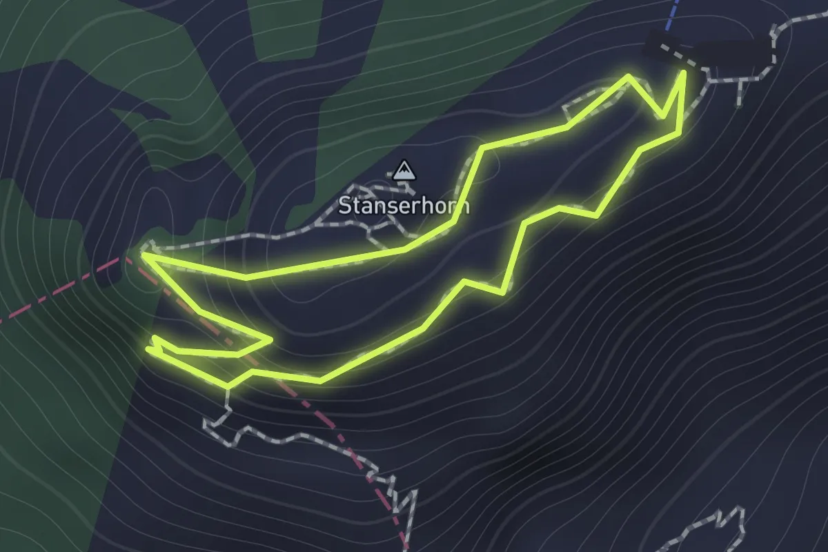
Easy · Summit
Rundgang /circular trail
1.0 km · ↑ 121 m · 31 min · 8 km away
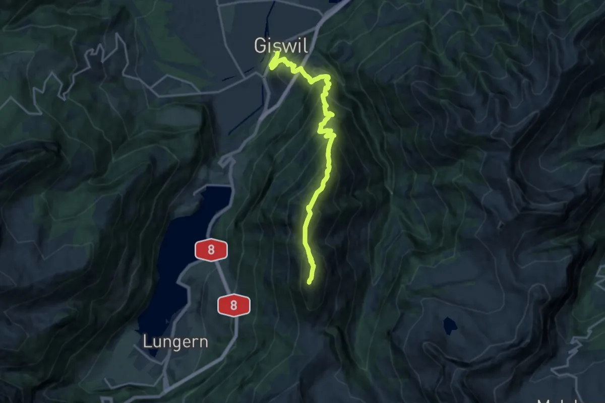
Demanding · Summit
Käserstatt – Giswil
15.1 km · ↑ 1756 m · 7 h 22 min · 8 km away
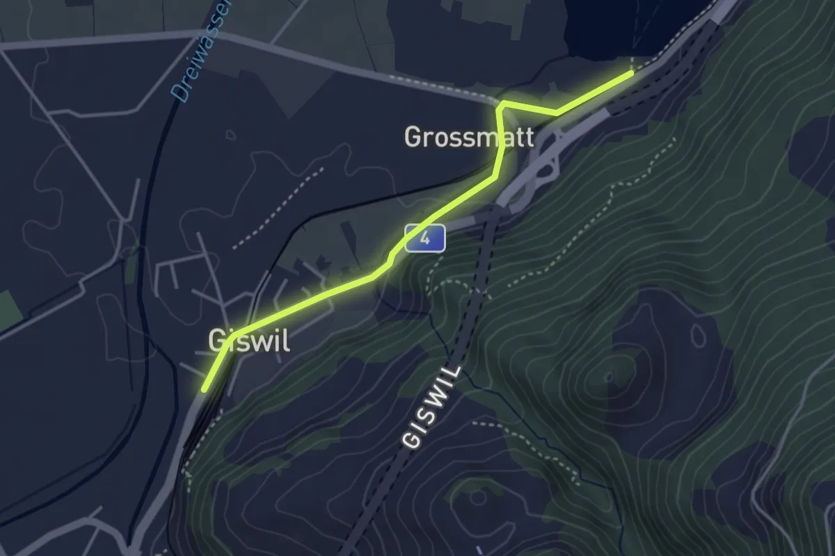
Medium · Trail
Zollhaus – Giswil
3.4 km · ↑ 32 m · 53 min · 8 km away
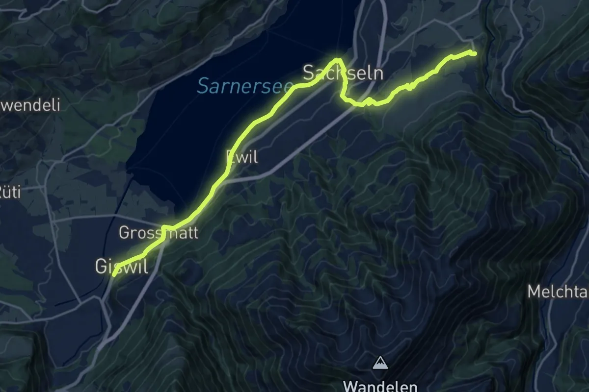
Demanding · Trail
Trans Swiss Trail
19.2 km · ↑ 332 m · 5 h 16 min · 8 km away
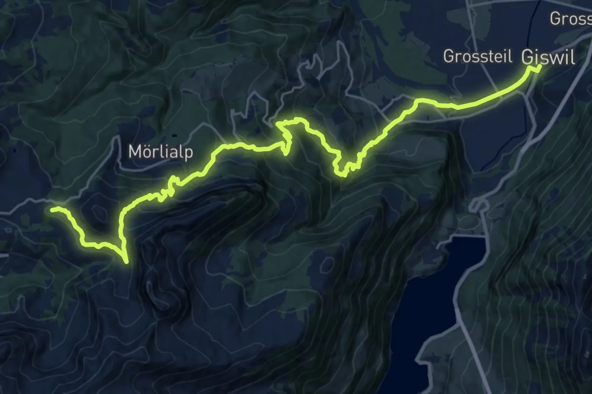
Demanding · Summit
Trans Swiss Trail
26.1 km · ↑ 1634 m · 9 h 42 min · 8 km away
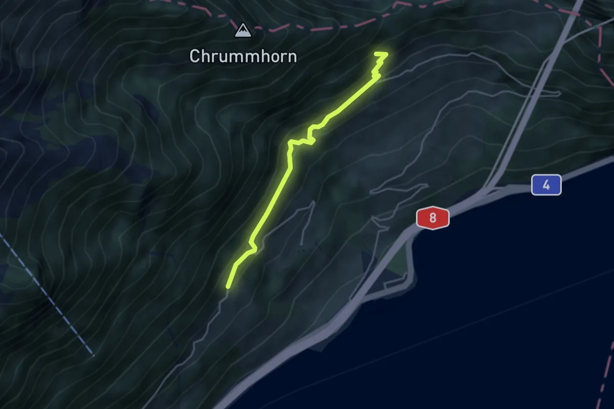
Medium · Trail
Grossrüti – Renggwald
3.6 km · ↑ 339 m · 1 h 36 min · 8 km away
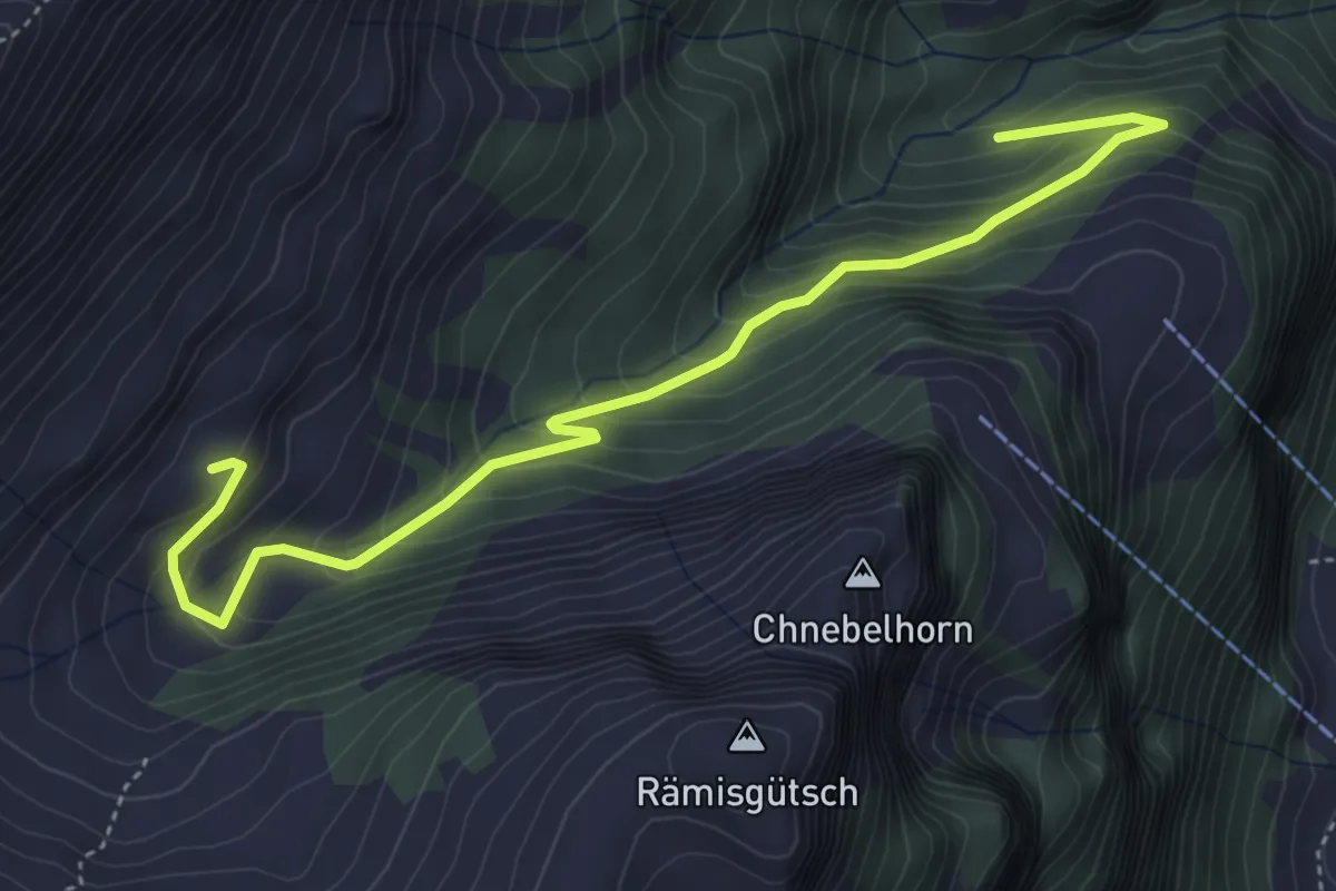
Medium · Trail
Talischwendli - Arni
5.0 km · ↑ 418 m · 2 h 6 min · 8 km away
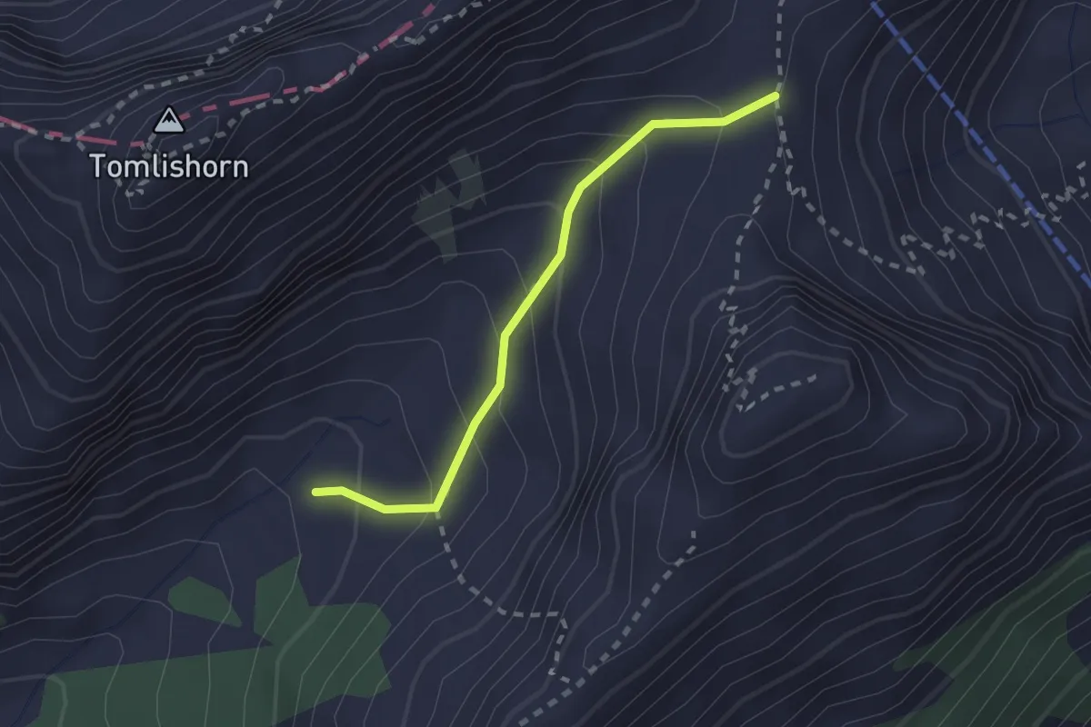
Medium · Trail
Chilchsteine - Laub
2.0 km · ↑ 154 m · 48 min · 8 km away
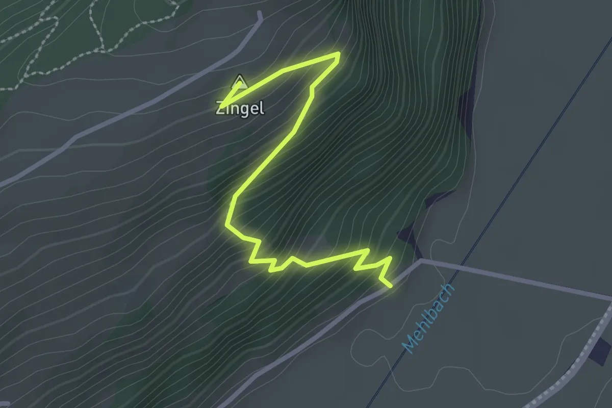
Easy · Summit
Drachenried – Neumatt
2.6 km · ↑ 285 m · 1 h 15 min · 8 km away
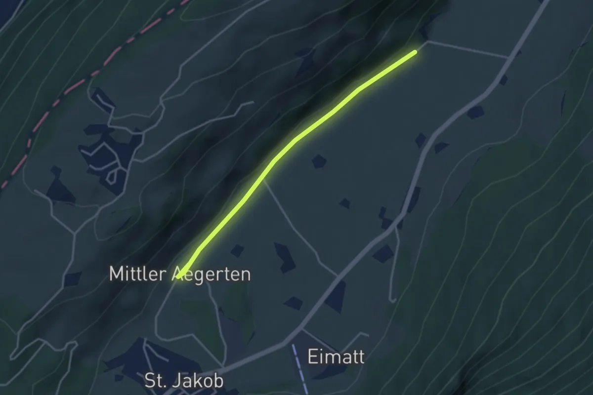
Easy · Trail
Drachenried – Mittelägerten
3.3 km · ↑ 46 m · 53 min · 8 km away
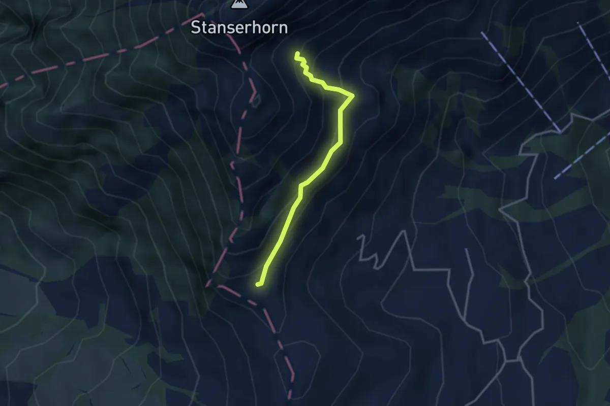
Medium · Trail
Chrinnen – Ober Holzwang
2.7 km · ↑ 245 m · 1 h 10 min · 8 km away
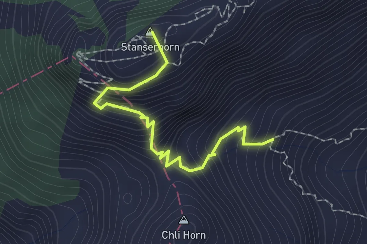
Medium · Summit
Stanserhorn – Chrinnen
1.9 km · ↑ 282 m · 1 h 3 min · 8 km away
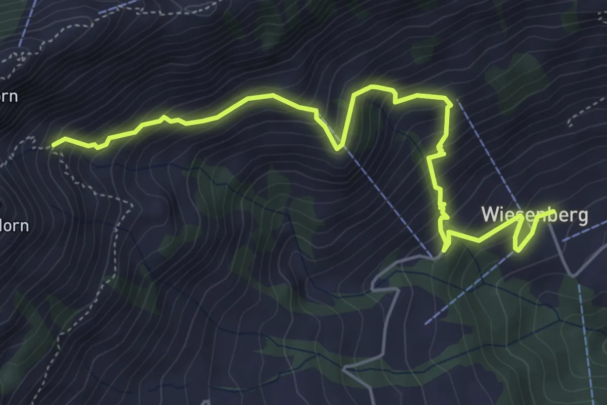
Medium · Trail
Wiesenberg – Chrinnen
5.5 km · ↑ 632 m · 2 h 40 min · 8 km away
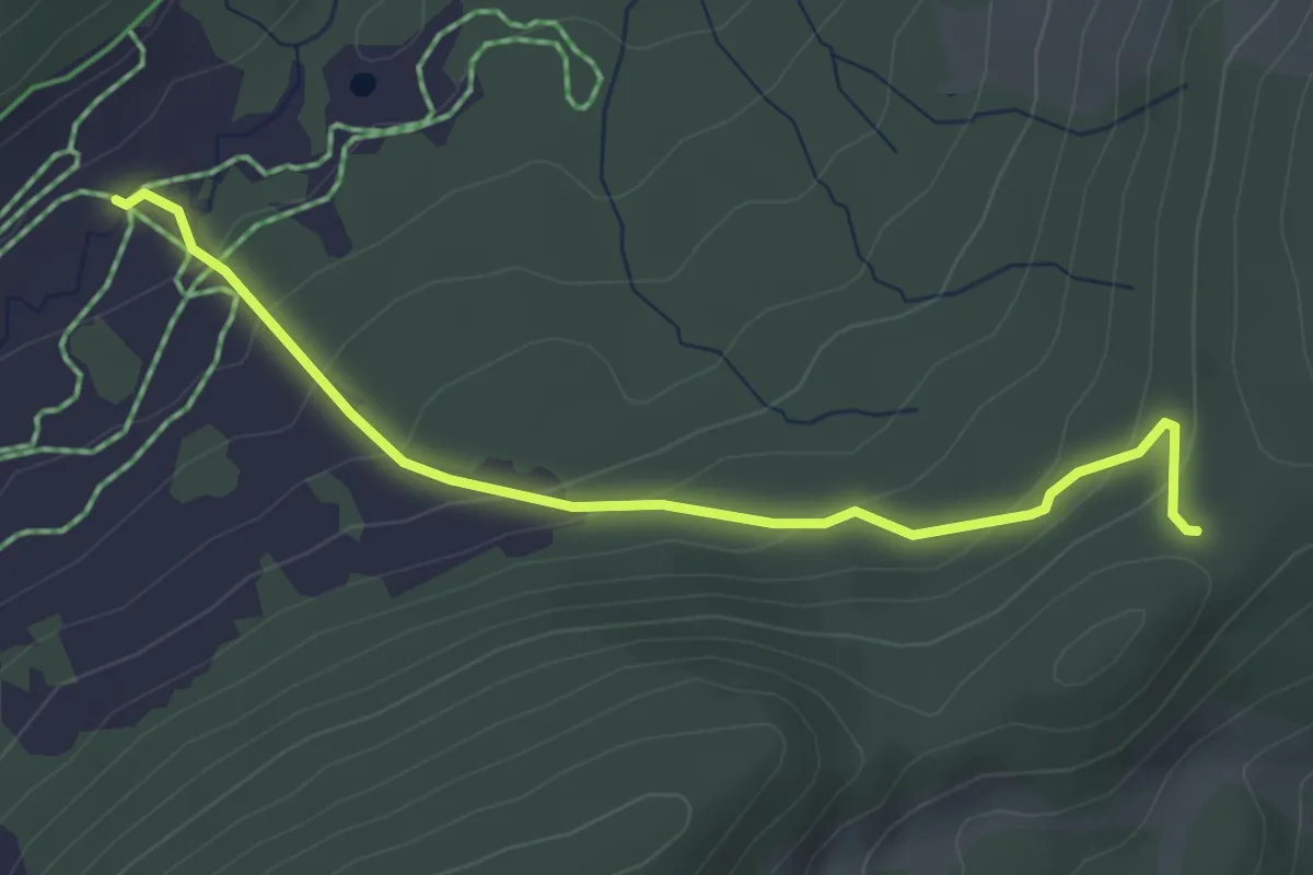
Easy · Cabin
Oberschlierental – Egg
3.6 km · ↑ 197 m · 1 h 17 min · 8 km away
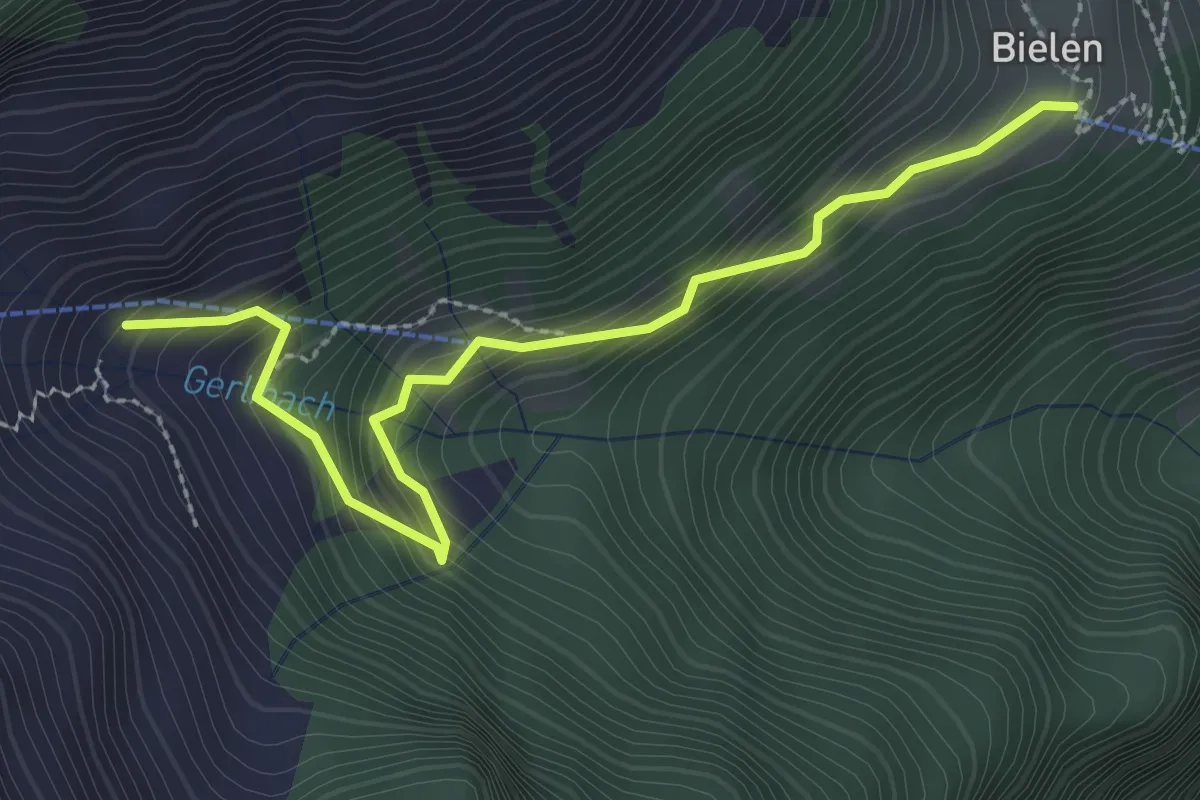
Medium · Trail
Bödmen - Büelen
3.0 km · ↑ 345 m · 1 h 27 min · 8 km away
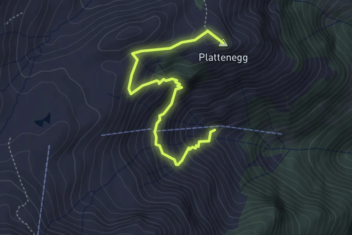
Medium · Summit
Staffel - Bödmen
4.3 km · ↑ 433 m · 1 h 57 min · 8 km away
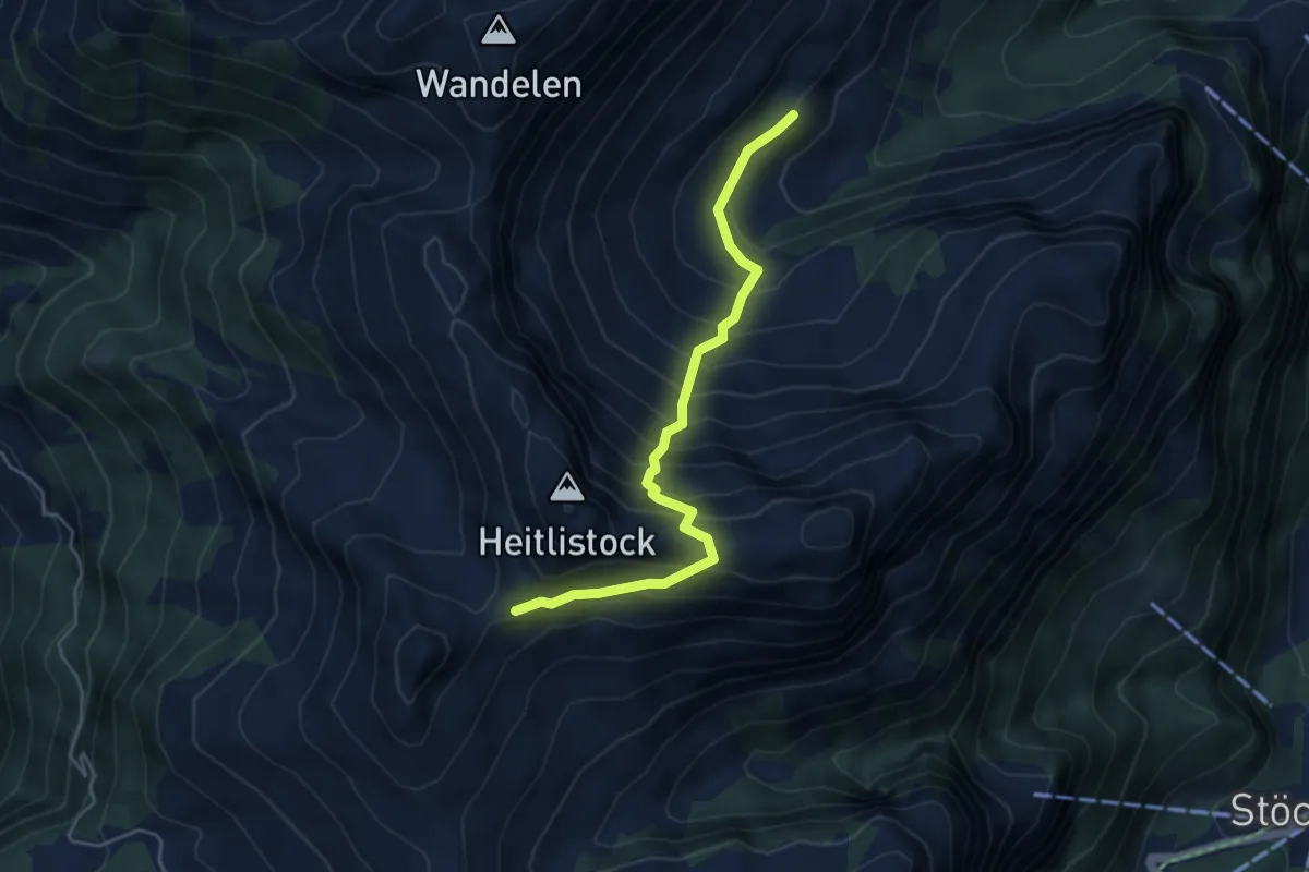
Medium · Trail
Arni - Frutt
4.6 km · ↑ 568 m · 2 h 19 min · 8 km away
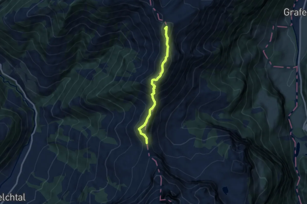
Expert · Summit
Storeggpass - Gräfimatt
6.2 km · ↑ 562 m · 2 h 41 min · 8 km away
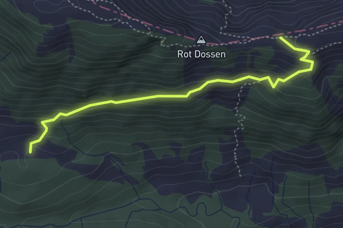
Medium · Trail
Balismatt - Felli
4.1 km · ↑ 270 m · 1 h 34 min · 8 km away
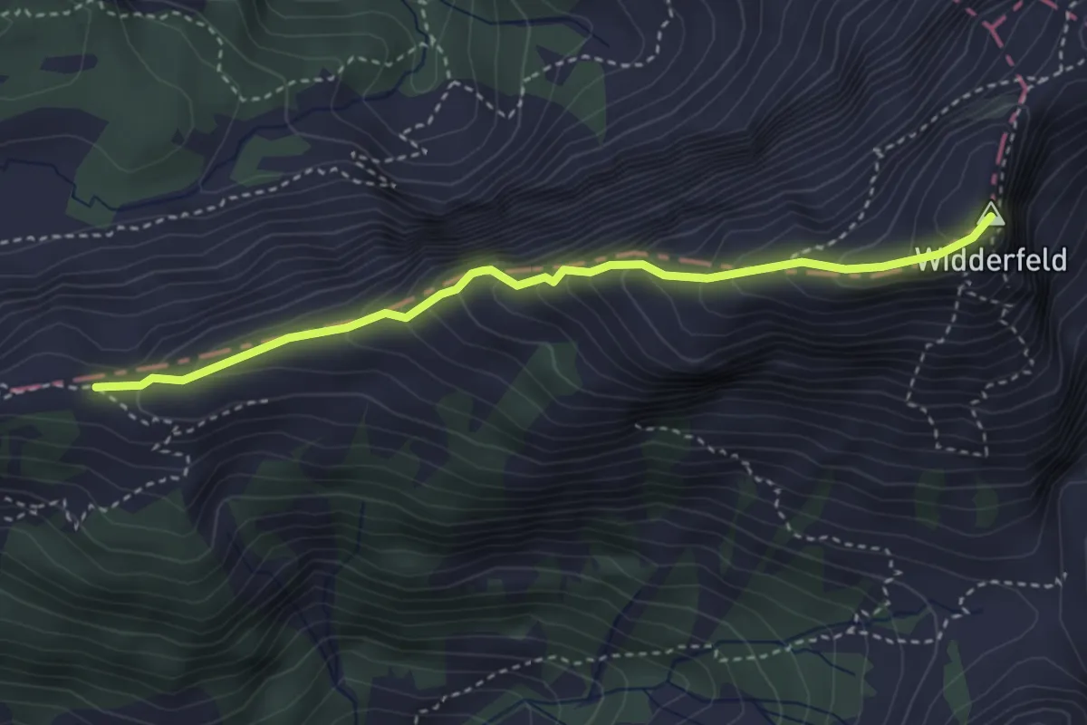
Demanding · Summit
Felli - Widderfeld
3.5 km · ↑ 401 m · 1 h 42 min · 8 km away
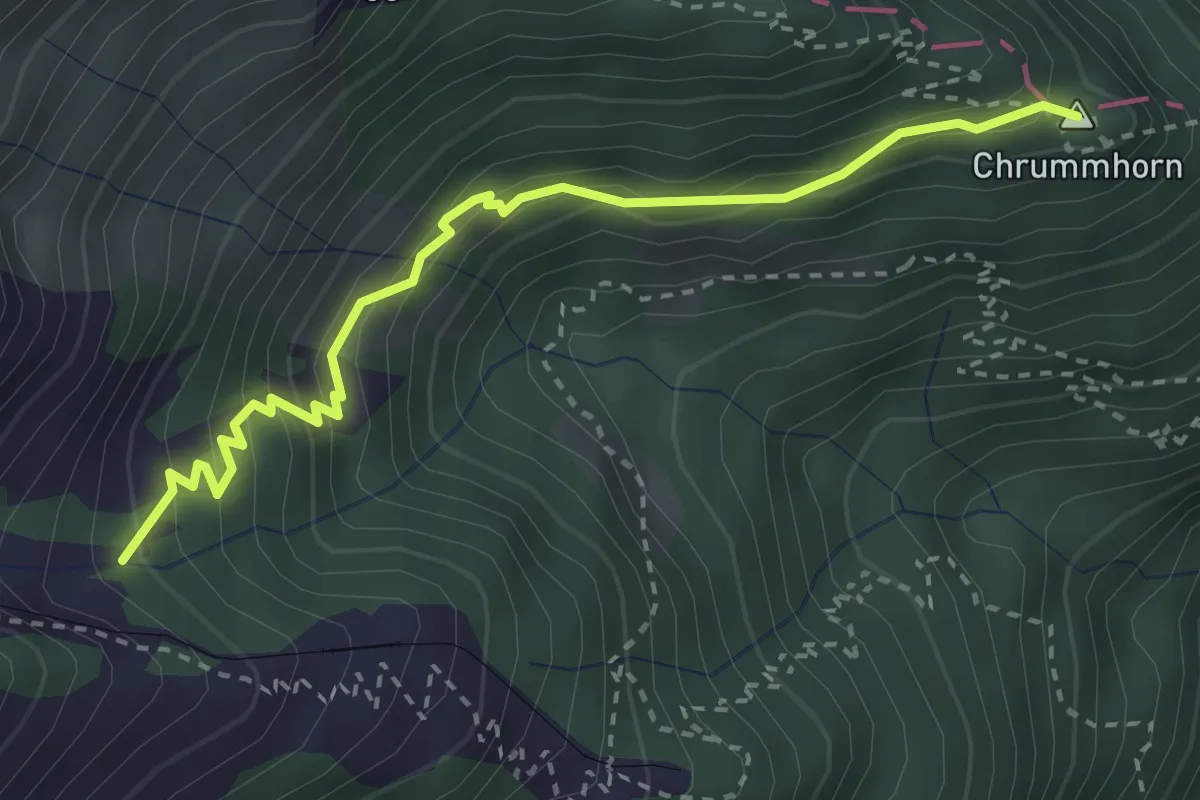
Demanding · Summit
Galtigen - Chrummhorn
3.2 km · ↑ 294 m · 1 h 24 min · 9 km away
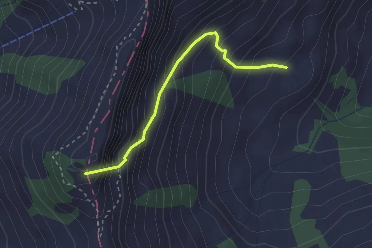
Medium · Summit
Hüethütte - Storeggpass
2.2 km · ↑ 348 m · 1 h 17 min · 9 km away
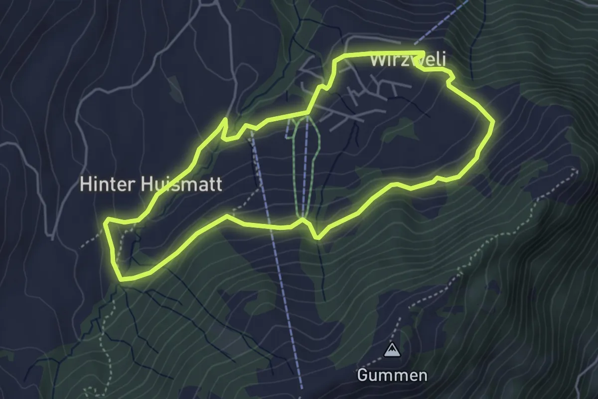
Easy · Trail
Dominikpfad
4.4 km · ↑ 173 m · 1 h 28 min · 9 km away
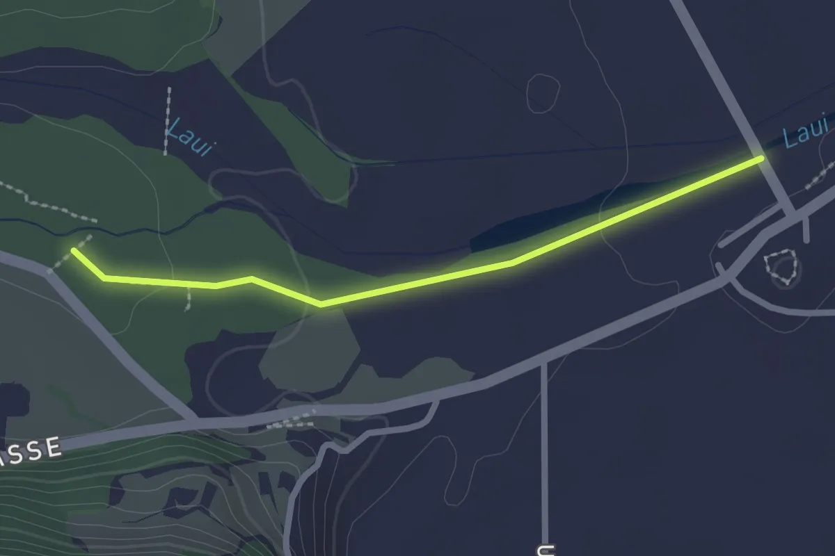
Easy · Trail
Alte Chilche – Mühlemattli
2.1 km · ↑ 22 m · 33 min · 9 km away
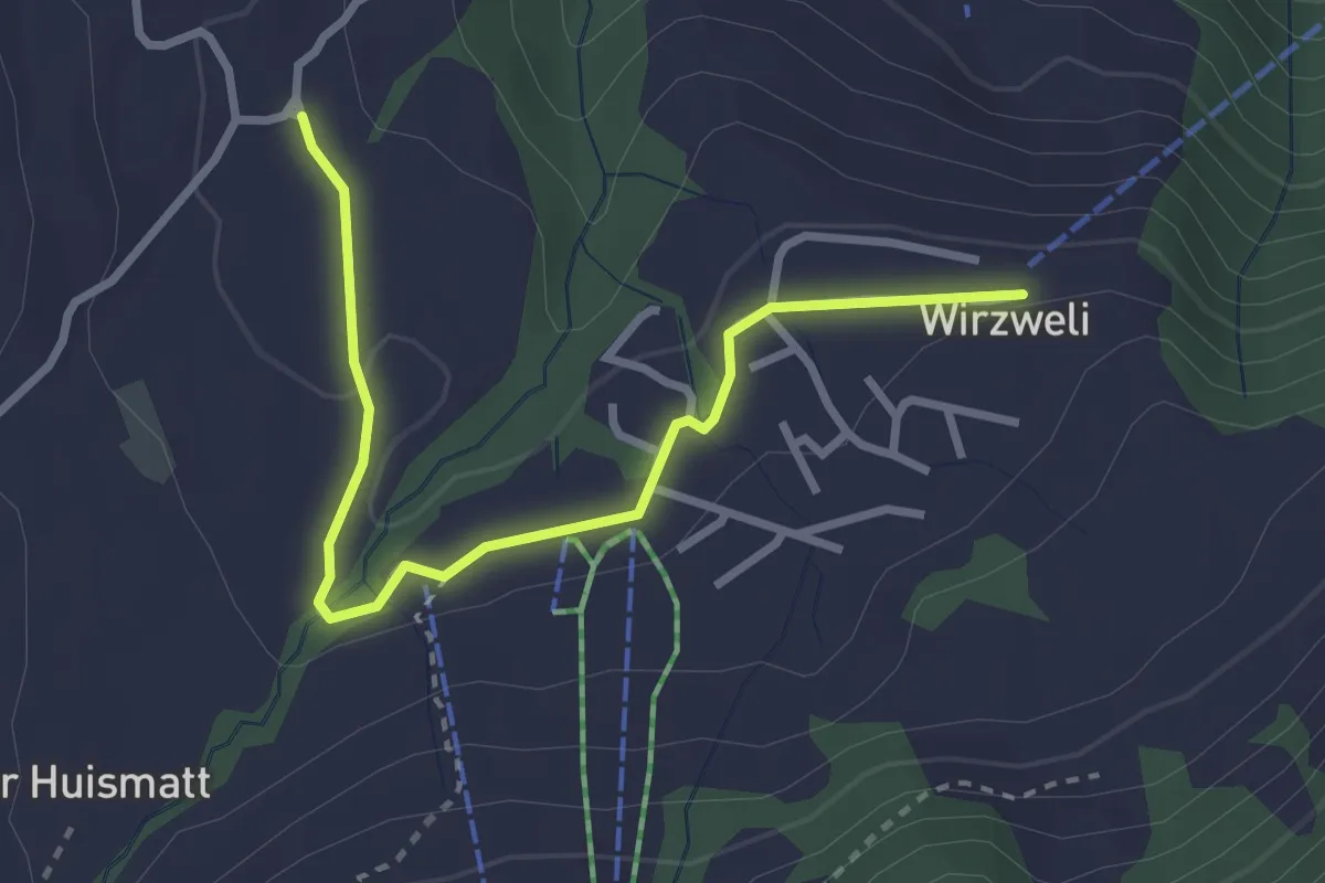
Easy · Trail
Stanglisbüel – Wirzweli
3.1 km · ↑ 47 m · 49 min · 9 km away
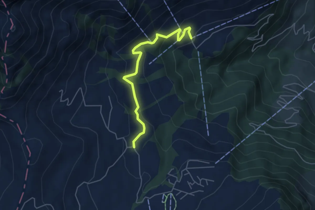
Easy · Trail
Wiesenberg - Stanglisbüel
4.4 km · ↑ 257 m · 1 h 36 min · 9 km away
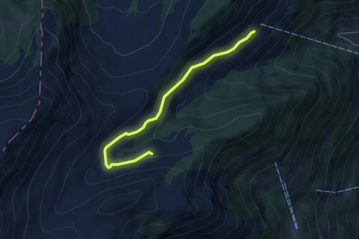
Easy · Trail
Oberalp – Staffel
4.3 km · ↑ 222 m · 1 h 29 min · 9 km away
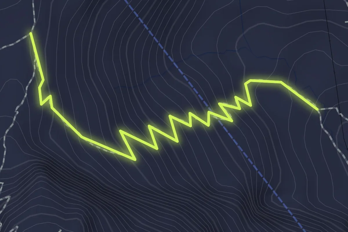
Medium · Trail
Chilchsteine - Mattalp
2.5 km · ↑ 265 m · 1 h 10 min · 9 km away
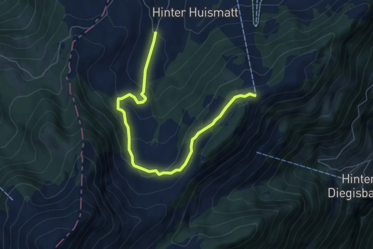
Easy · Trail
Dürrenboden – Gummenalp
6.8 km · ↑ 301 m · 2 h 16 min · 9 km away
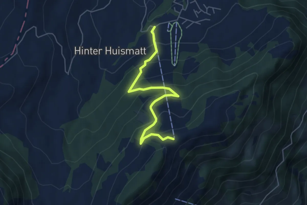
Medium · Trail
Gummenalp – Gummenbahn
4.7 km · ↑ 357 m · 1 h 52 min · 9 km away
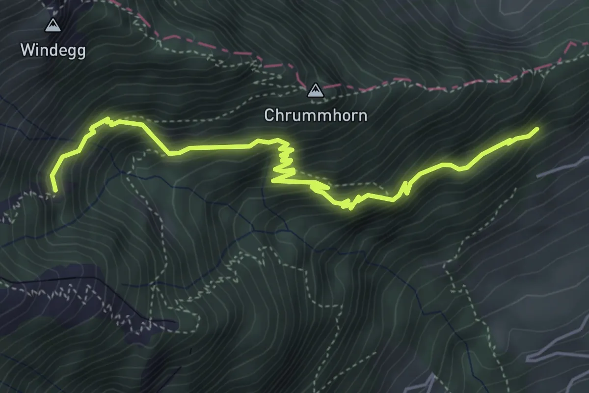
Demanding · Trail
Renggwald – Unter Steigli
5.2 km · ↑ 613 m · 2 h 33 min · 9 km away
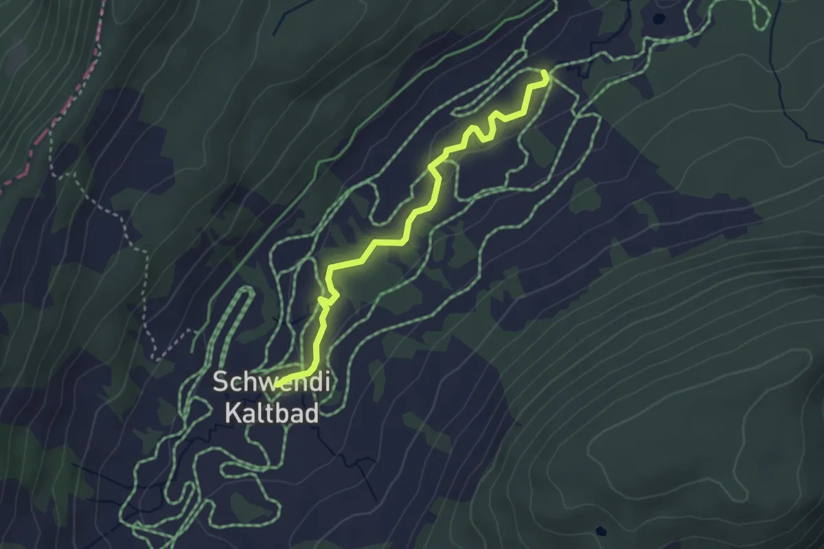
Easy · Trail
Schwendi Kaltbad – Oberschlierental
3.1 km · ↑ 31 m · 48 min · 9 km away
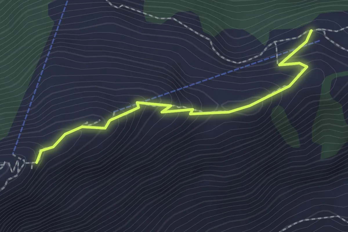
Medium · Trail
Rindermatt – Stanserhorn
2.0 km · ↑ 212 m · 56 min · 9 km away
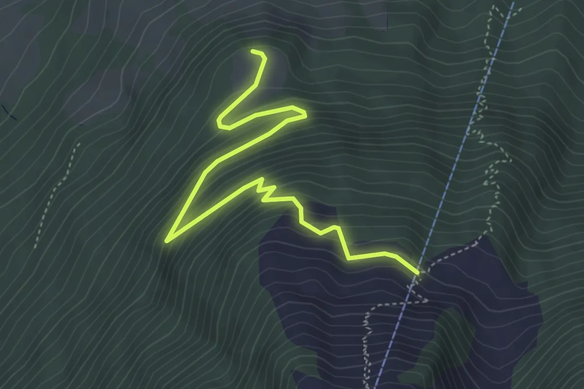
Medium · Trail
Äbnetboden – Bluematt
4.9 km · ↑ 390 m · 2 h 1 min · 9 km away
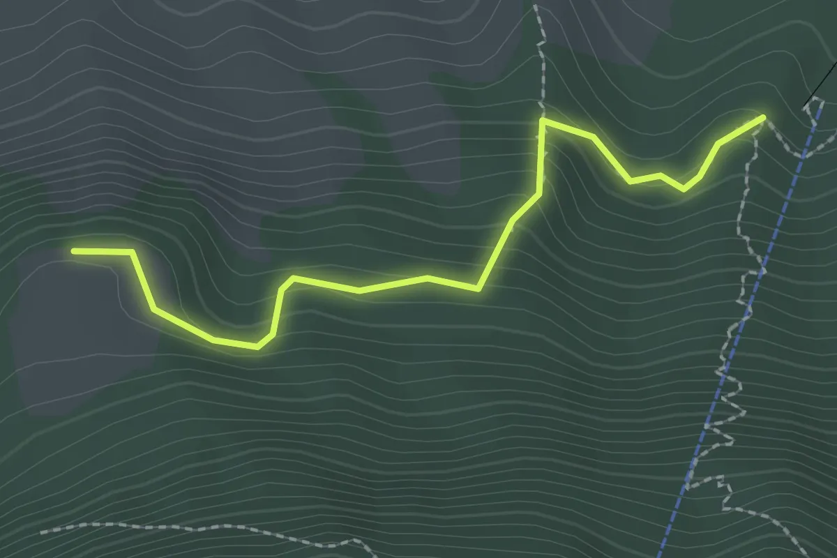
Easy · Trail
Äbnetboden – Wasserplatten
2.2 km · ↑ 189 m · 56 min · 9 km away
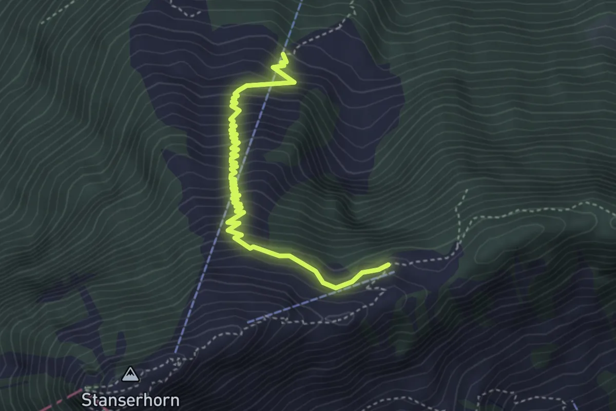
Medium · Trail
Bluematt – Rinderalp
4.3 km · ↑ 488 m · 2 h 4 min · 9 km away
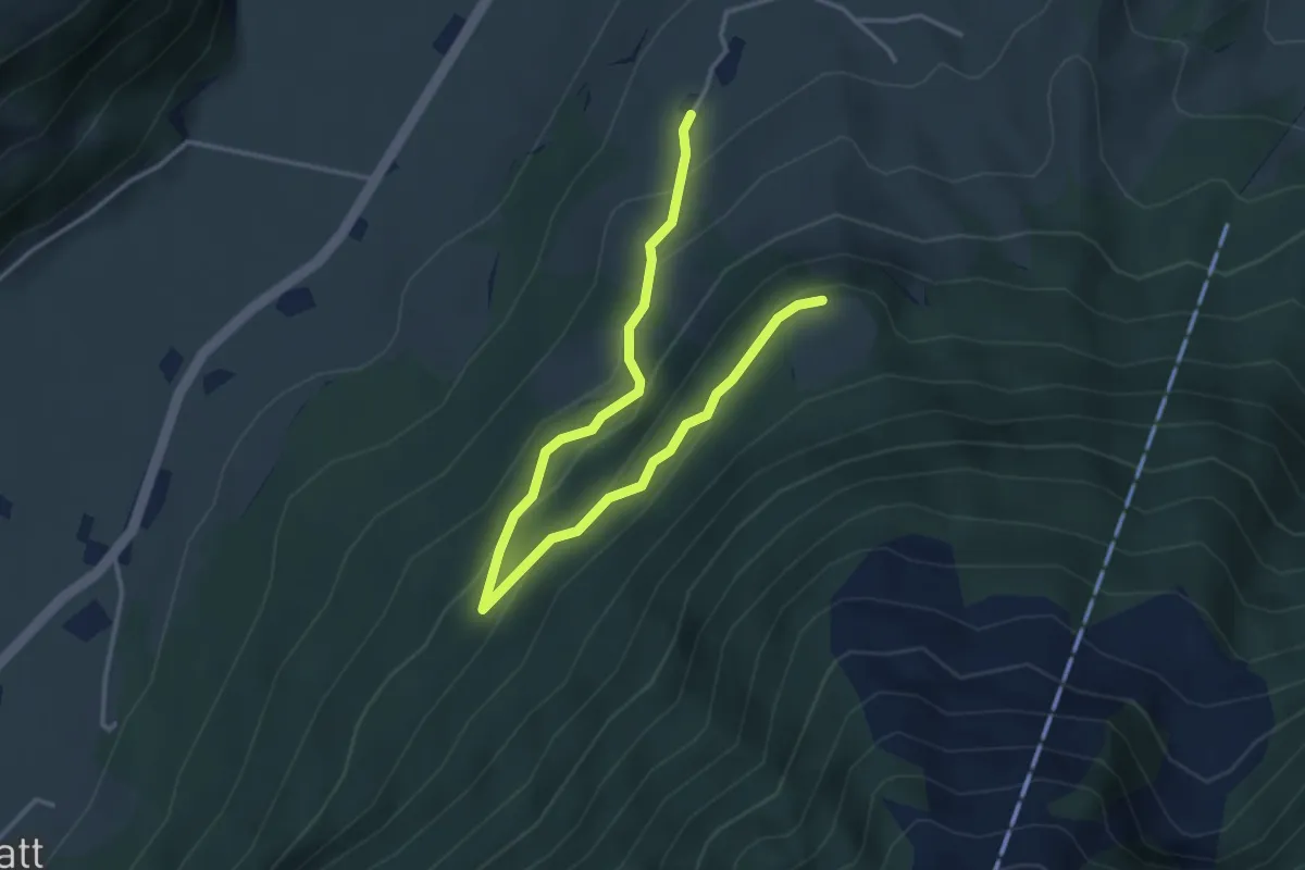
Easy · Trail
Brunnisboden – Äbnetboden
4.5 km · ↑ 272 m · 1 h 39 min · 9 km away
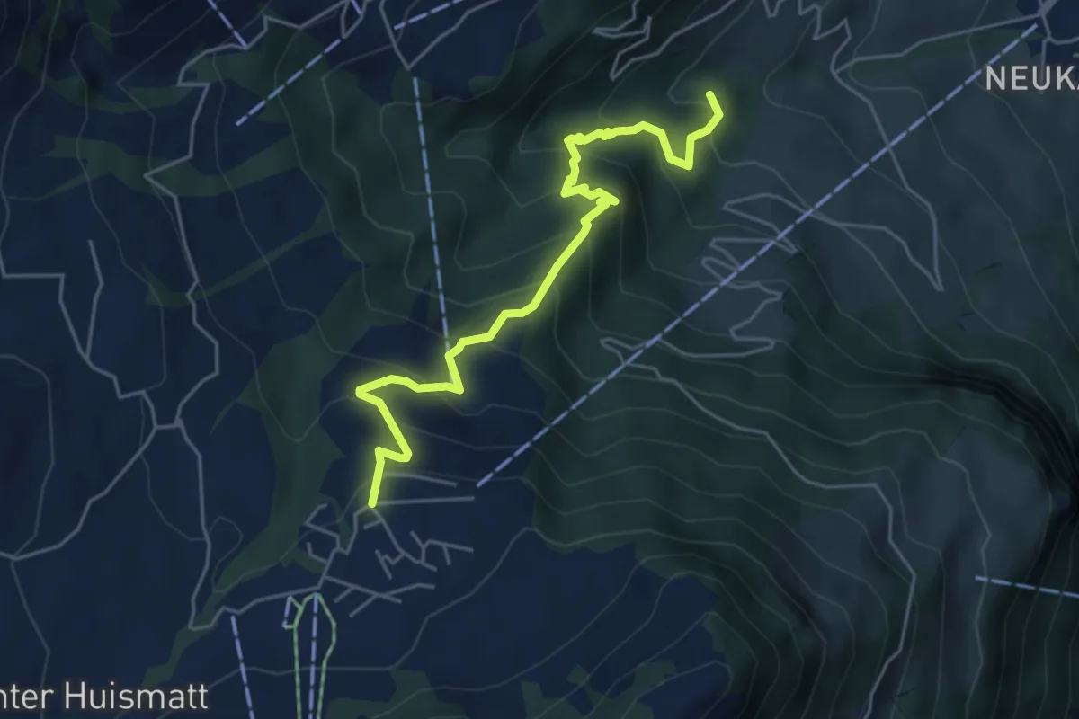
Medium · Trail
Wirzweli – Heinziwald
5.1 km · ↑ 516 m · 2 h 19 min · 9 km away
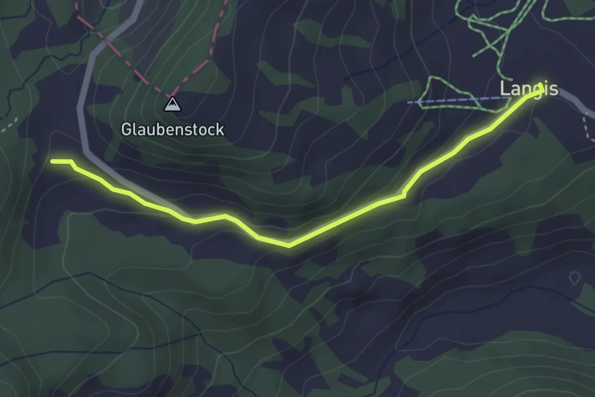
Easy · Trail
Glaubenberg – Langis
3.4 km · ↑ 116 m · 1 h 3 min · 9 km away
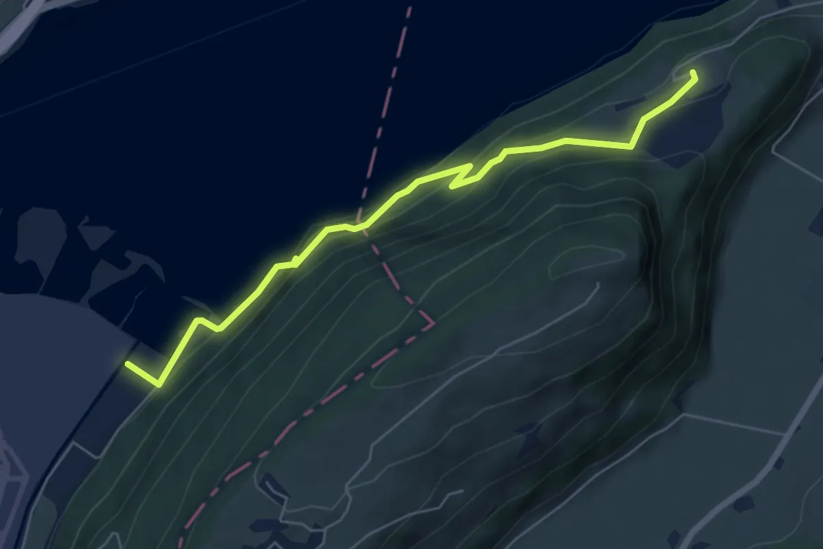
Medium · Trail
Eichiried - Oberrüti
5.9 km · ↑ 437 m · 2 h 21 min · 9 km away
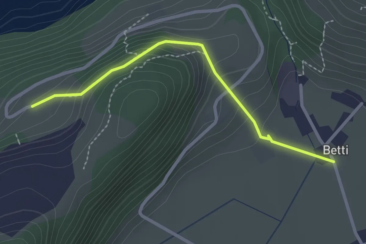
Easy · Trail
Betti - Oberrüti
2.1 km · ↑ 81 m · 41 min · 9 km away
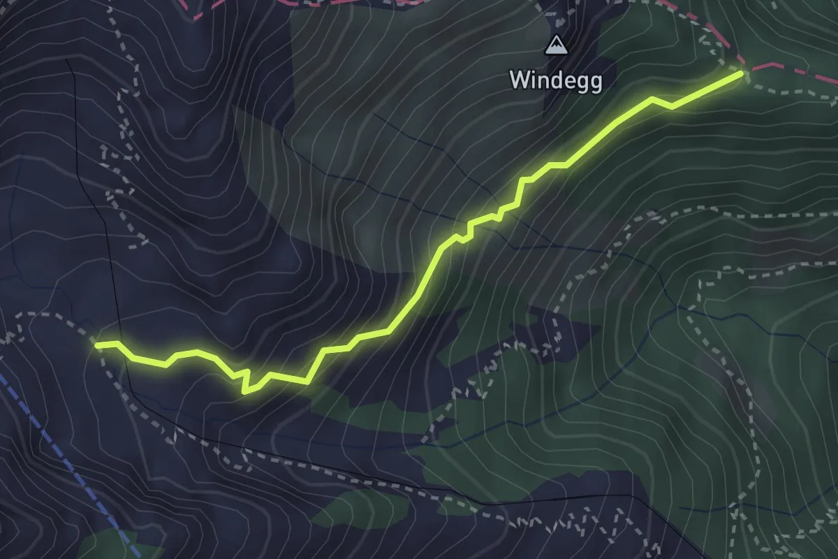
Easy · Trail
Mattalp - Obersteigli - Tellenfad
3.0 km · ↑ 287 m · 1 h 20 min · 9 km away