Trails near Sarnen
375 hikes starting within 15 km, nearest first.
Nearest first, page 3 of 8
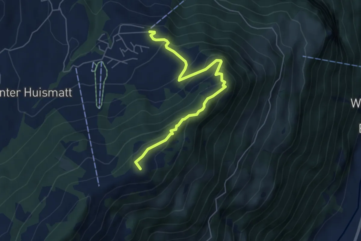
Medium · Summit
Wirzweli – Gummenalp
5.3 km · ↑ 372 m · 2 h 3 min · 9 km away
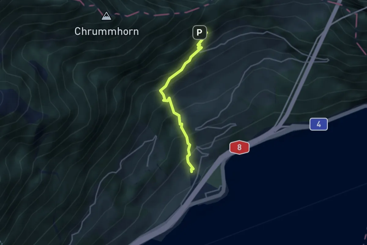
Medium · Trail
Renggwald – Bachmattli
3.0 km · ↑ 375 m · 1 h 32 min · 9 km away
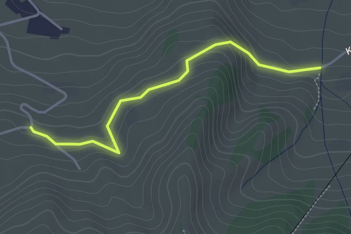
Easy · Trail
Murmatt – Christenmatt
2.8 km · ↑ 137 m · 57 min · 9 km away
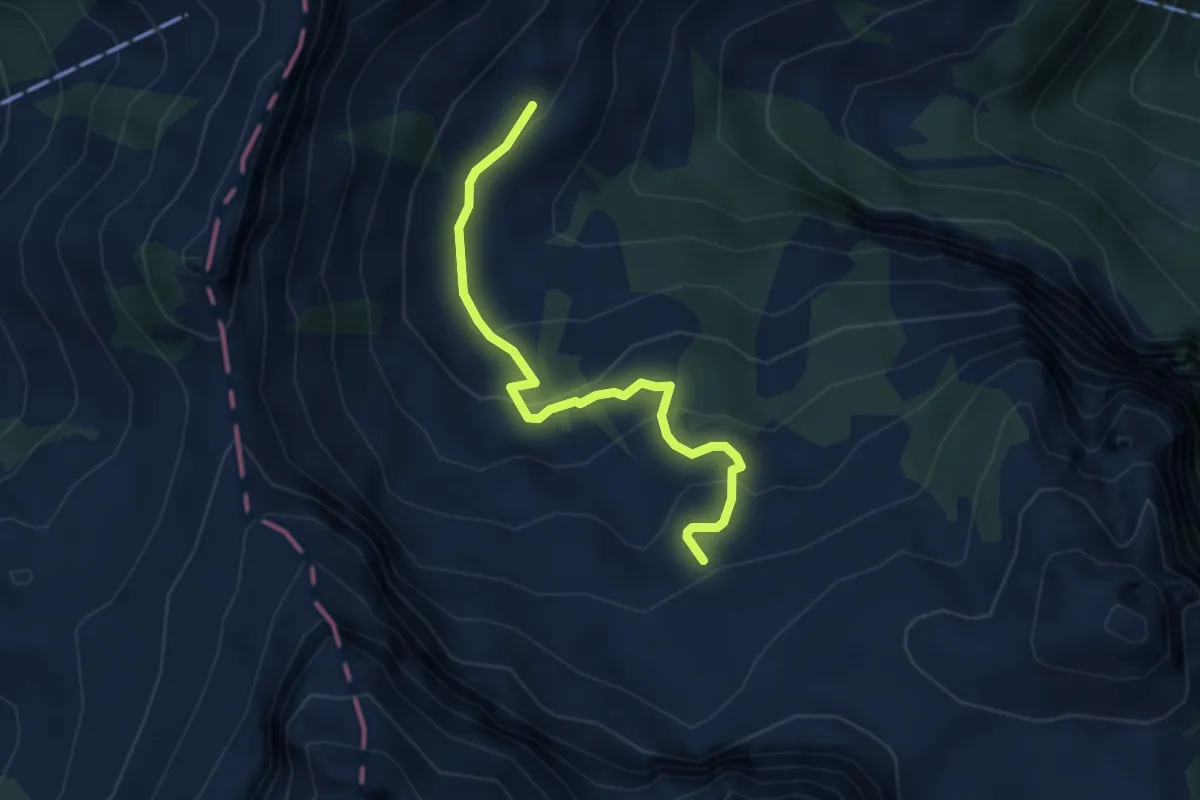
Easy · Trail
Rossboden – Hüethütte
3.7 km · ↑ 205 m · 1 h 19 min · 10 km away
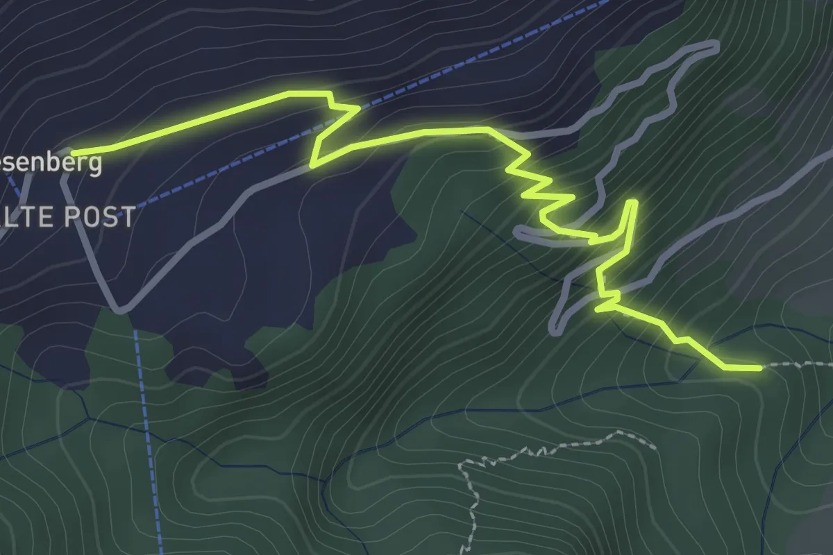
Easy · Trail
Heinziwald – Wiesenberg
3.2 km · ↑ 305 m · 1 h 25 min · 10 km away
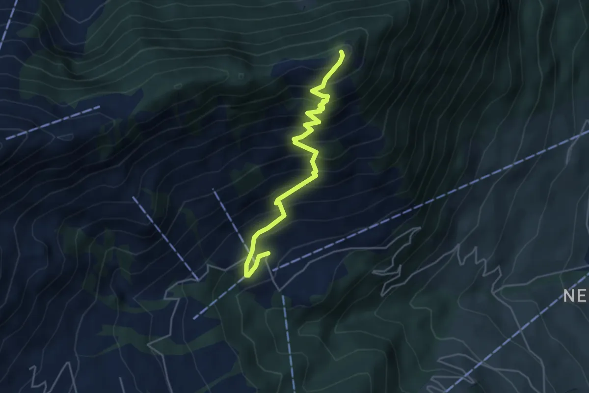
Medium · Trail
Blatti – Wiesenberg
4.3 km · ↑ 537 m · 2 h 10 min · 10 km away
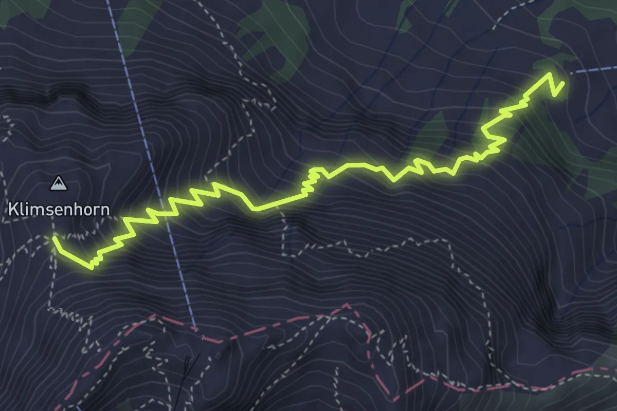
Medium · Cabin
Chlimsenhorn – Alpgschwänd
4.9 km · ↑ 774 m · 2 h 50 min · 10 km away
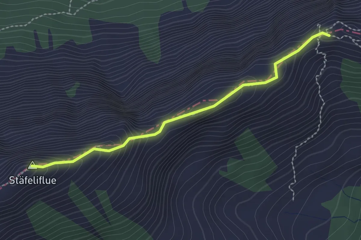
Demanding · Summit
Tripolihütte - Kanapee
2.3 km · ↑ 215 m · 1 h 1 min · 10 km away
Medium · Trail
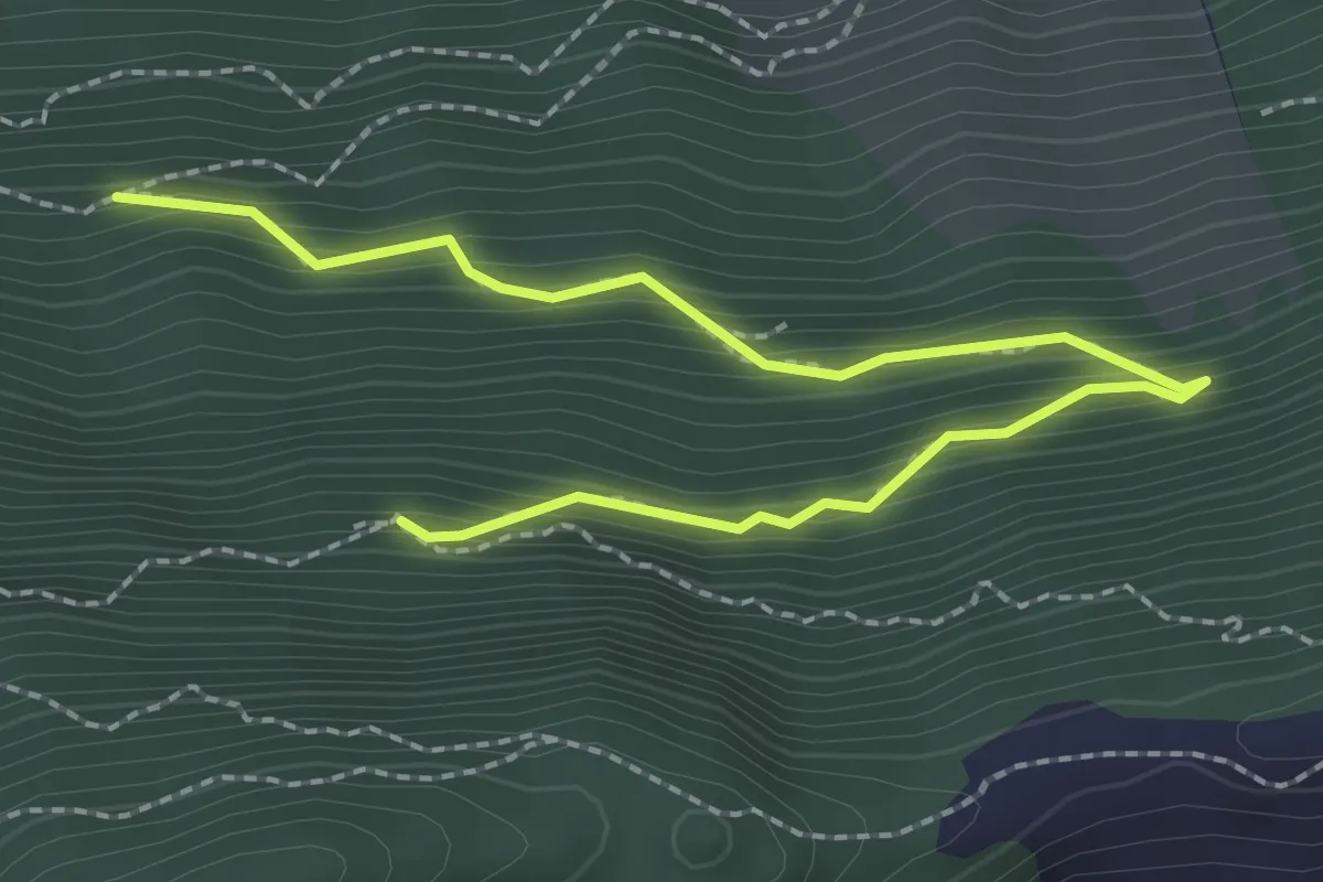
Lang Zug – Ahornhütte
2.8 km · ↑ 255 m · 1 h 13 min · 10 km away
Easy · Trail
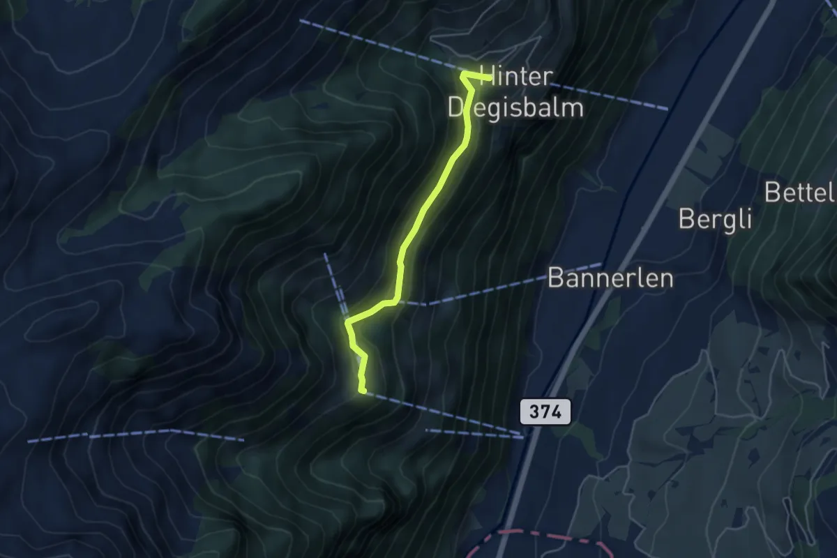
Büelen - Diegischbalm
3.9 km · ↑ 233 m · 1 h 25 min · 10 km away
Demanding · Summit
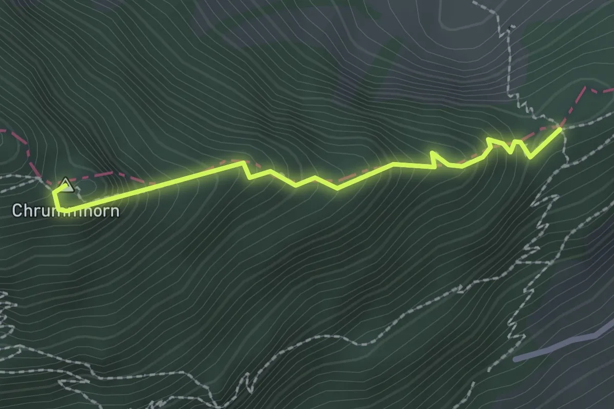
Chrummhorn – Renggpass
2.0 km · ↑ 335 m · 1 h 12 min · 10 km away
Medium · Trail
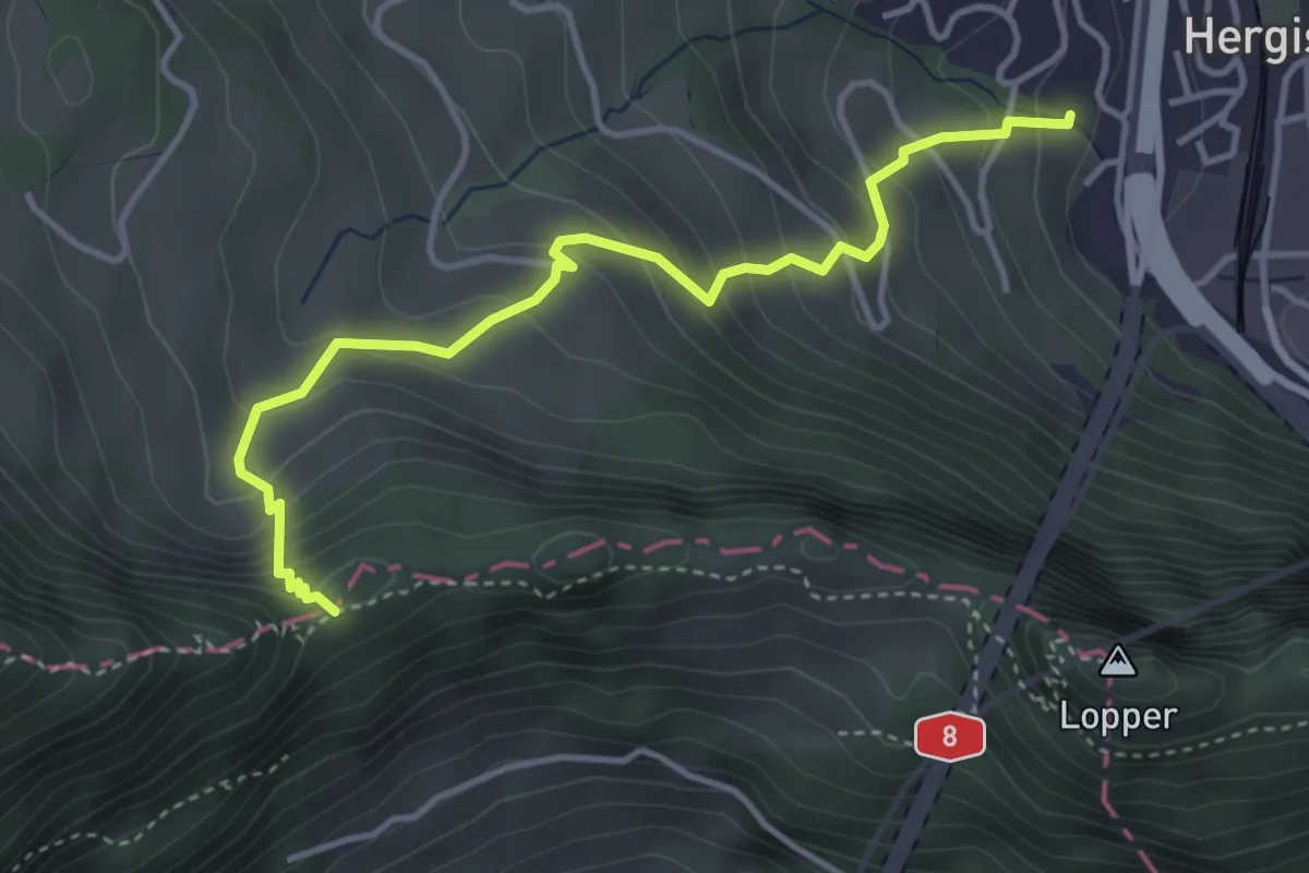
Renggpass – Büel
4.1 km · ↑ 406 m · 1 h 50 min · 10 km away
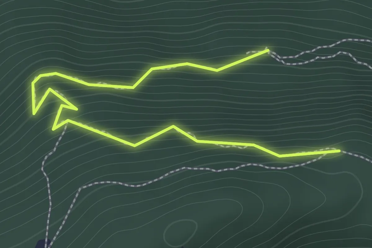
Easy · Trail
Ahornhütte – Muetergotteswald
2.1 km · ↑ 293 m · 1 h 7 min · 10 km away
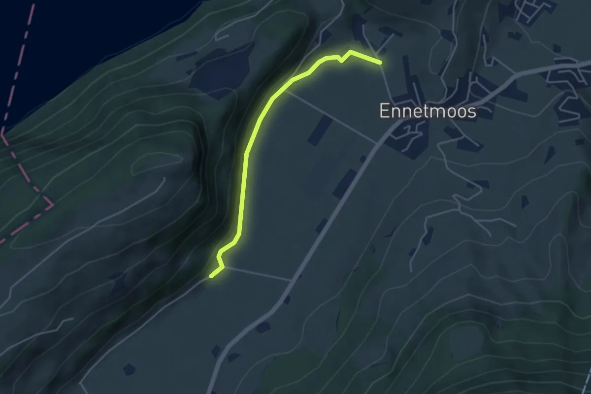
Easy · Trail
Betti – Drachenried
3.6 km · ↑ 76 m · 1 h 1 min · 10 km away
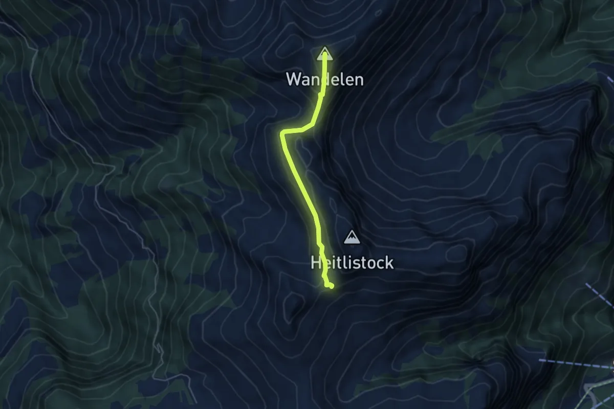
Medium · Summit
Frutt - Wandelen
4.0 km · ↑ 248 m · 1 h 29 min · 10 km away
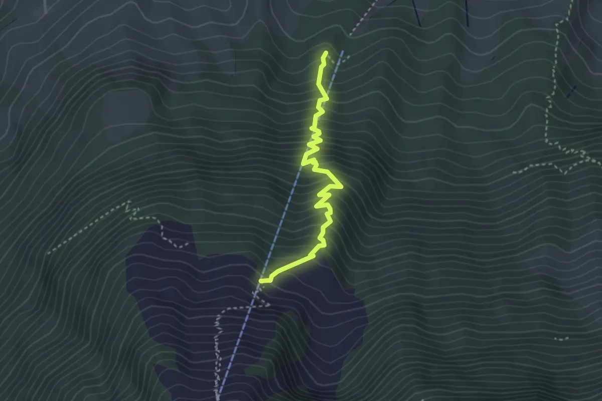
Medium · Trail
Wasserplatten – Bluematt
3.2 km · ↑ 498 m · 1 h 50 min · 10 km away
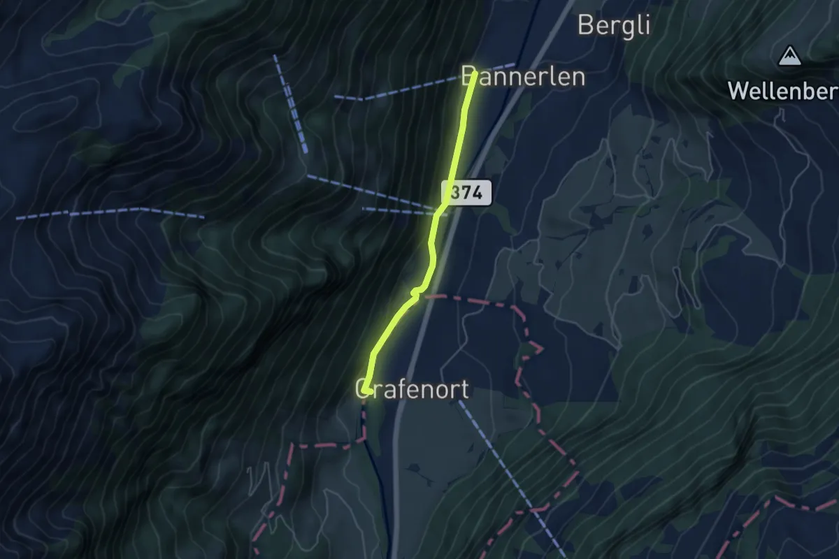
Easy · Trail
Chlifallenbach – Grafenort
3.9 km · ↑ 123 m · 1 h 11 min · 10 km away
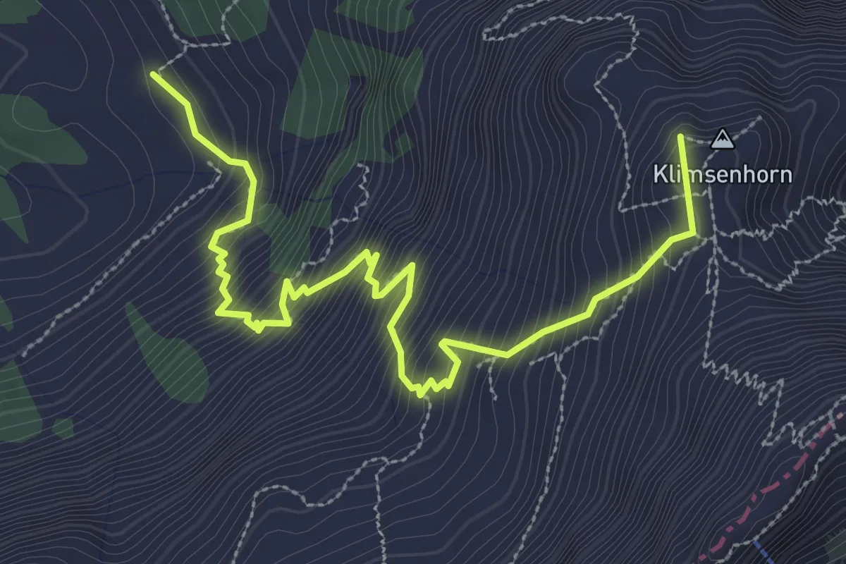
Demanding · Summit
Ober Lauelen – Chlimsenhorn
3.9 km · ↑ 640 m · 2 h 18 min · 10 km away
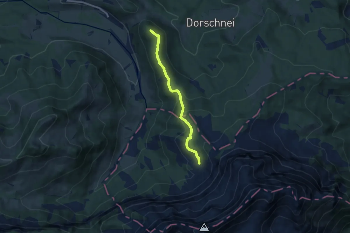
Medium · Summit
Chraigütsch – Ober Lauelen
5.8 km · ↑ 267 m · 1 h 57 min · 10 km away
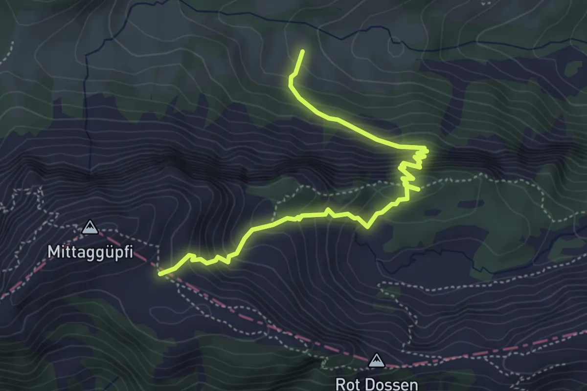
Medium · Trail
Stafel - Oberalp - 1805
5.1 km · ↑ 584 m · 2 h 27 min · 10 km away
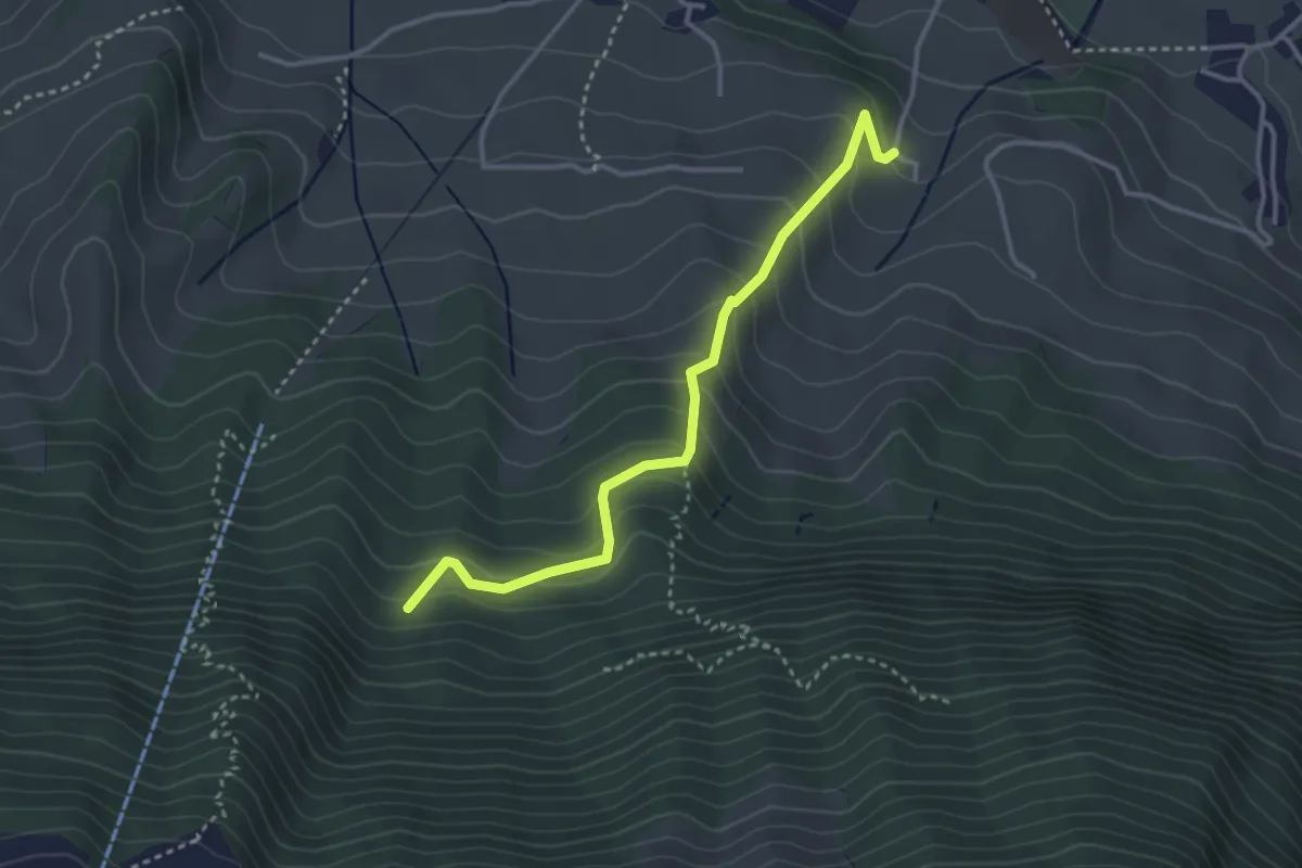
Easy · Trail
Chlostermatt – Cholplätzli
3.4 km · ↑ 313 m · 1 h 28 min · 10 km away
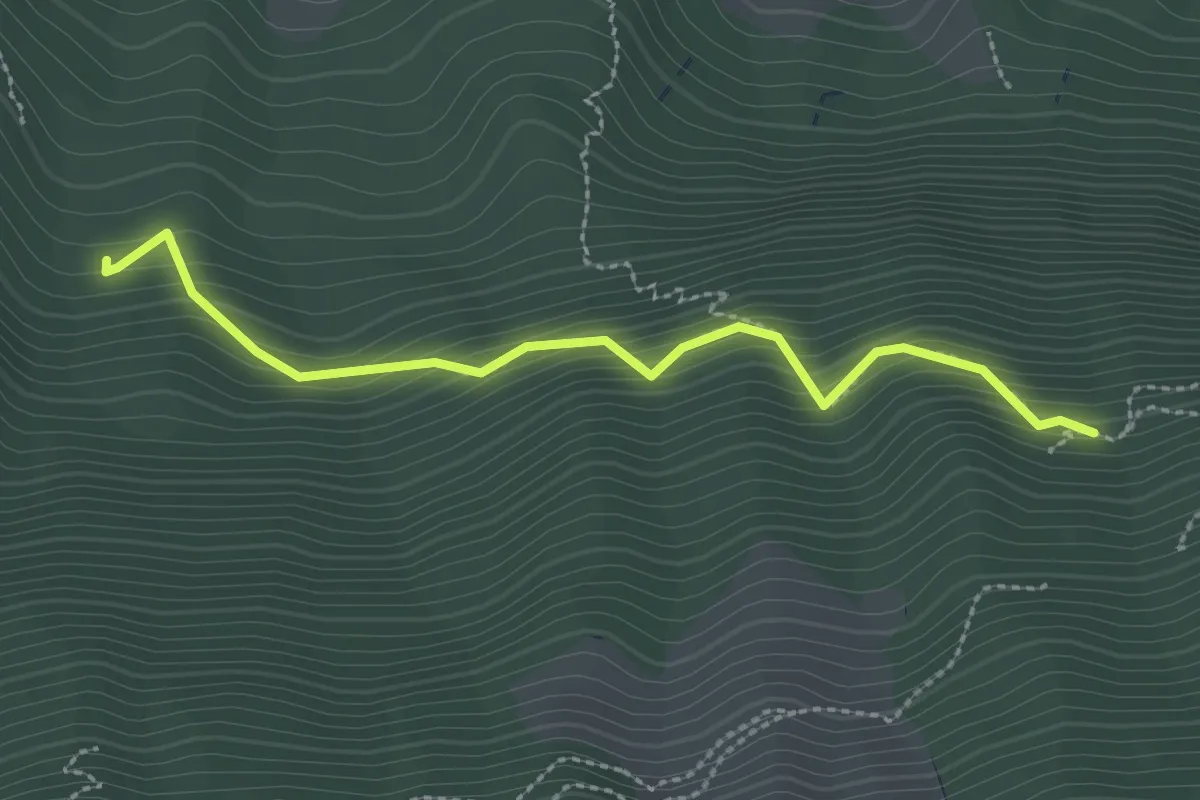
Easy · Trail
Luegeren – Cholplätzli
2.6 km · ↑ 317 m · 1 h 17 min · 10 km away
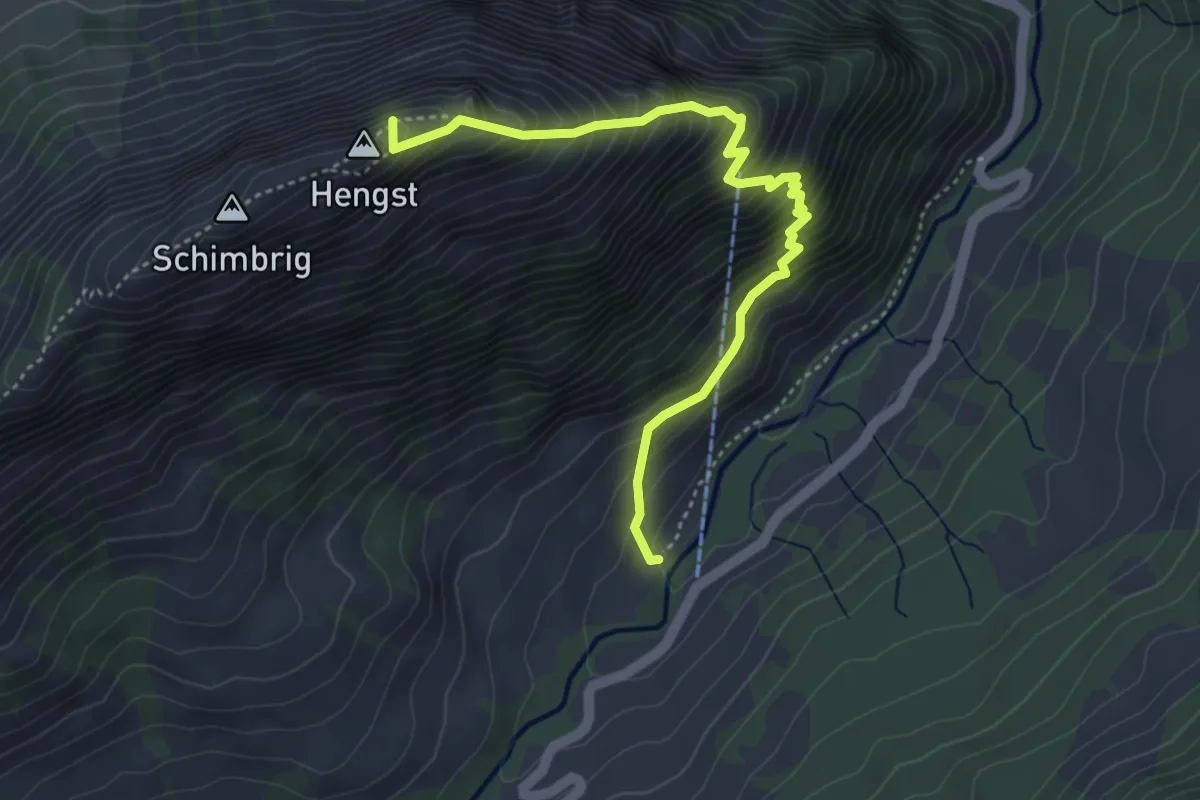
Demanding · Summit
Grund - Schimbrig
4.5 km · ↑ 654 m · 2 h 28 min · 10 km away
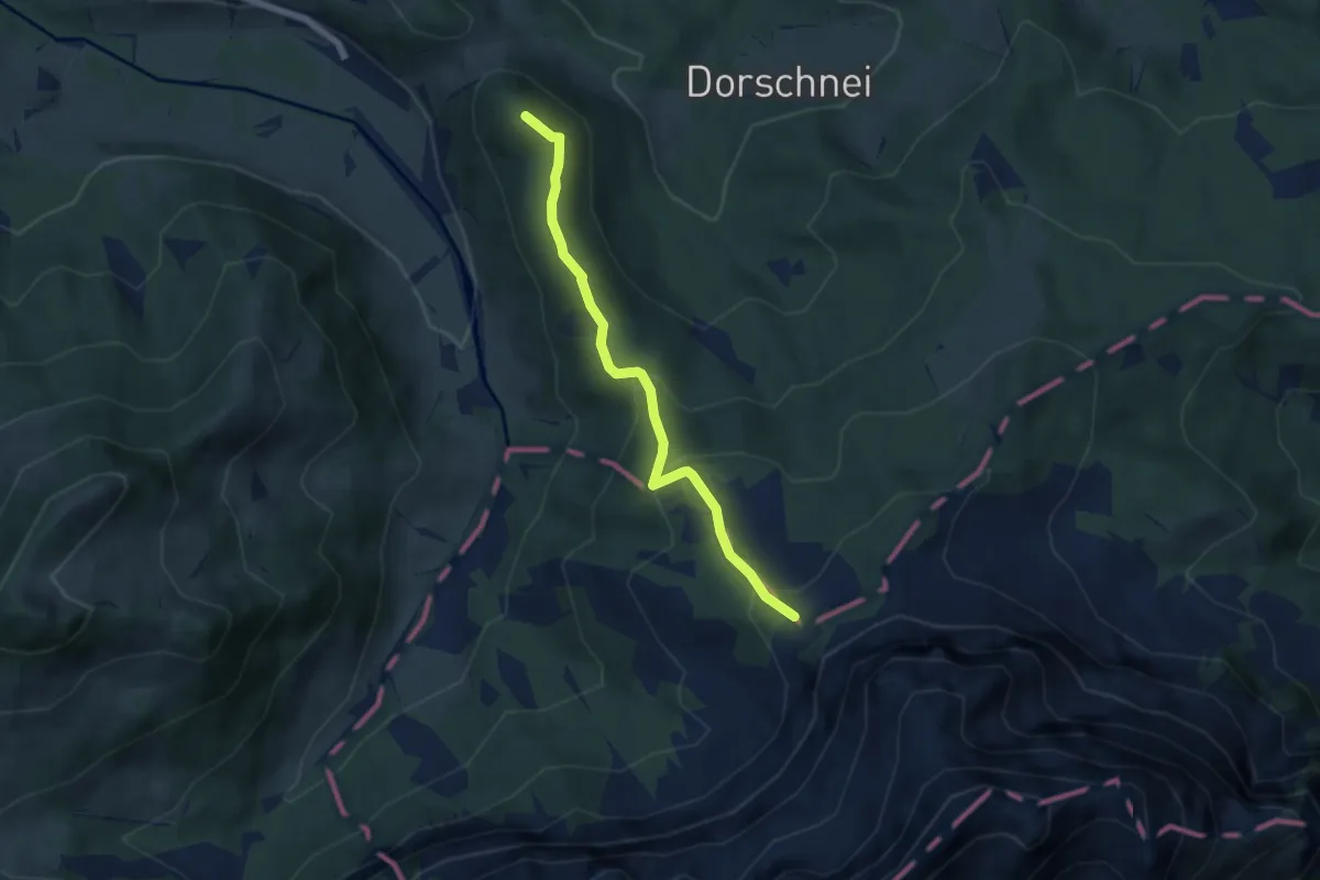
Medium · Summit
Chräigütsch – Lauelenegg
5.6 km · ↑ 287 m · 1 h 56 min · 10 km away
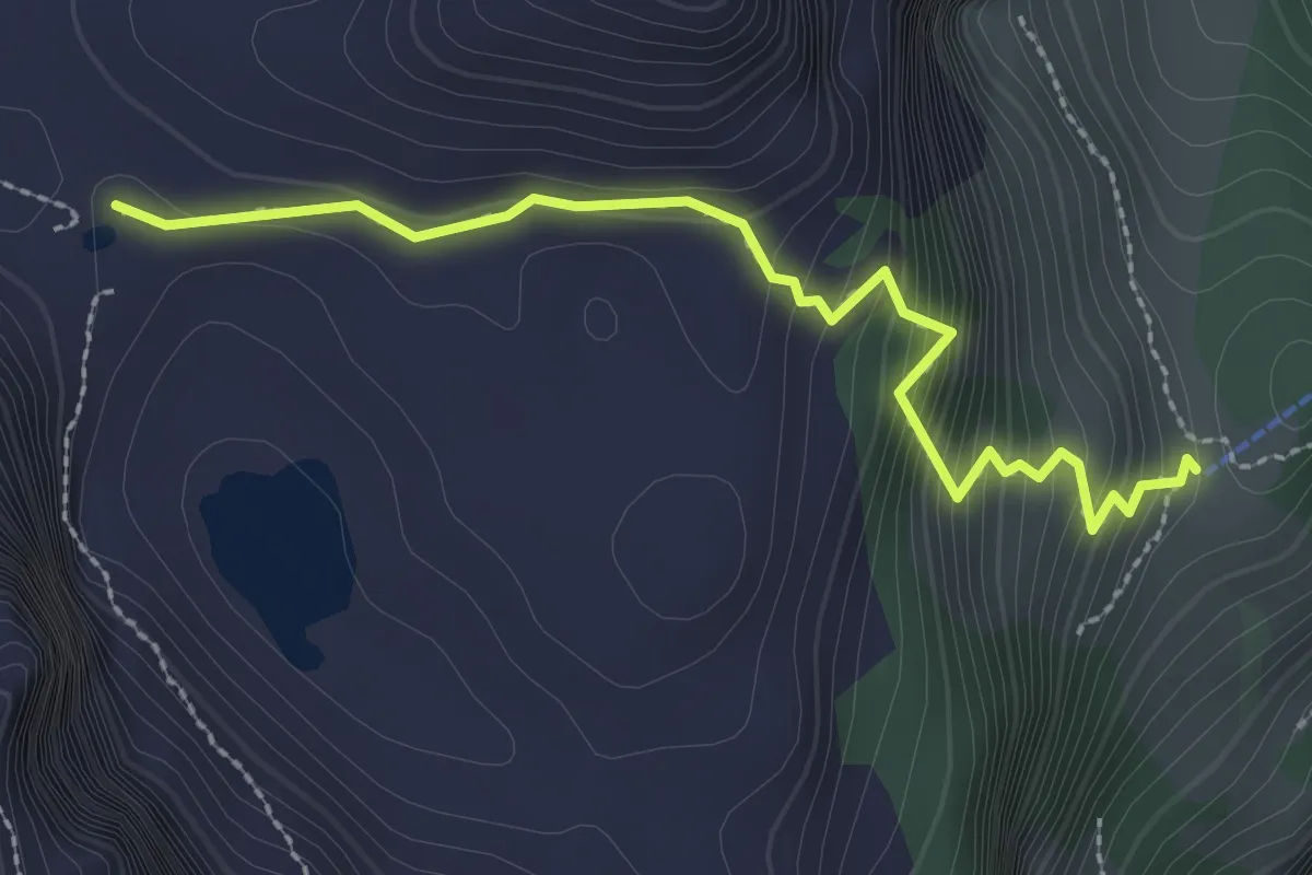
Easy · Cabin
Lutersee – Zingel
2.6 km · ↑ 316 m · 1 h 18 min · 10 km away
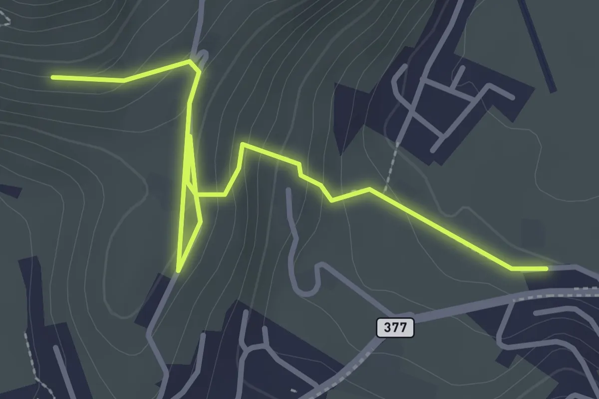
Easy · Trail
Lewengrueben - Burg
3.3 km · ↑ 150 m · 1 h 6 min · 10 km away
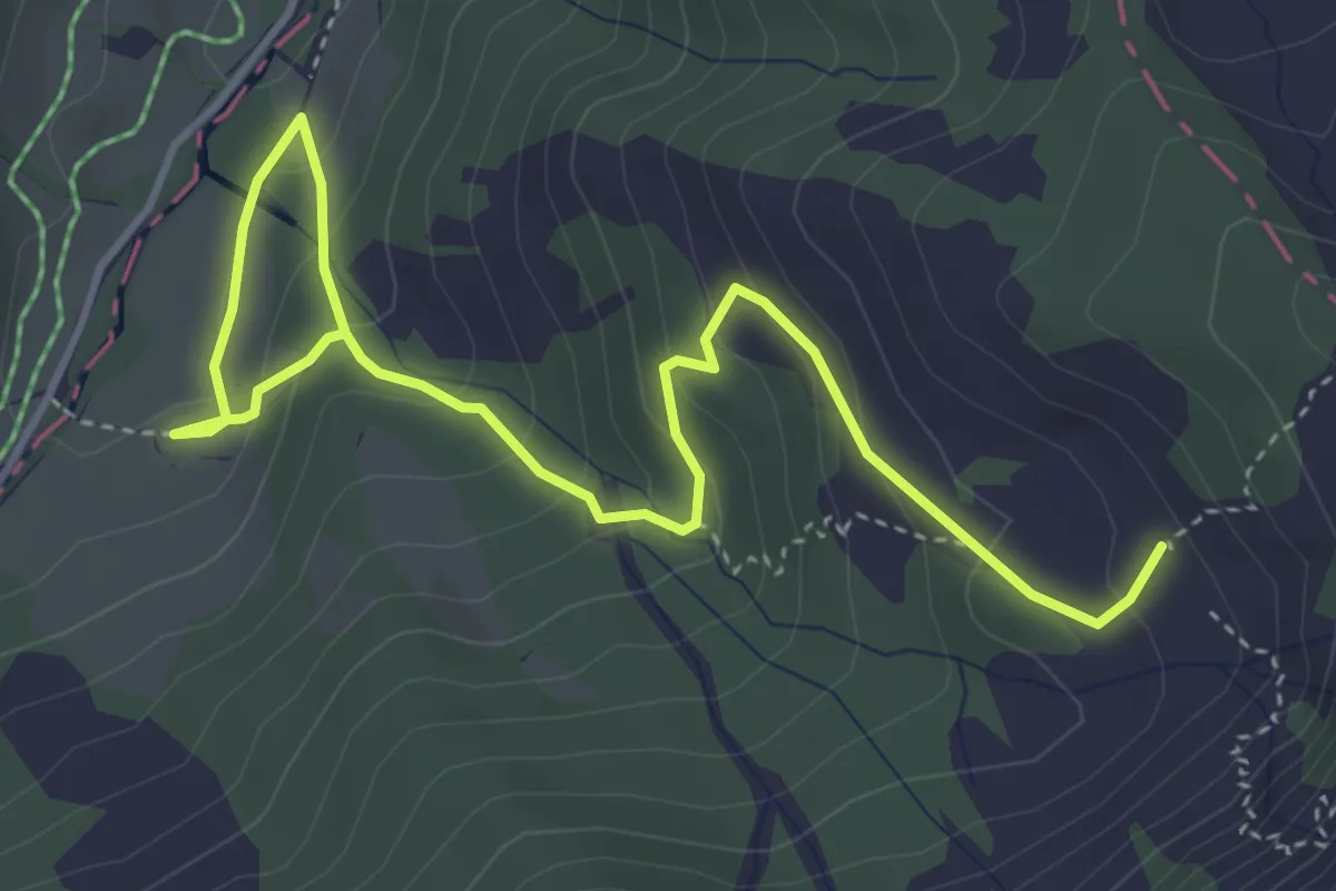
Medium · Trail
Oberlauwelen – Unterlauwelen
5.2 km · ↑ 322 m · 1 h 55 min · 10 km away
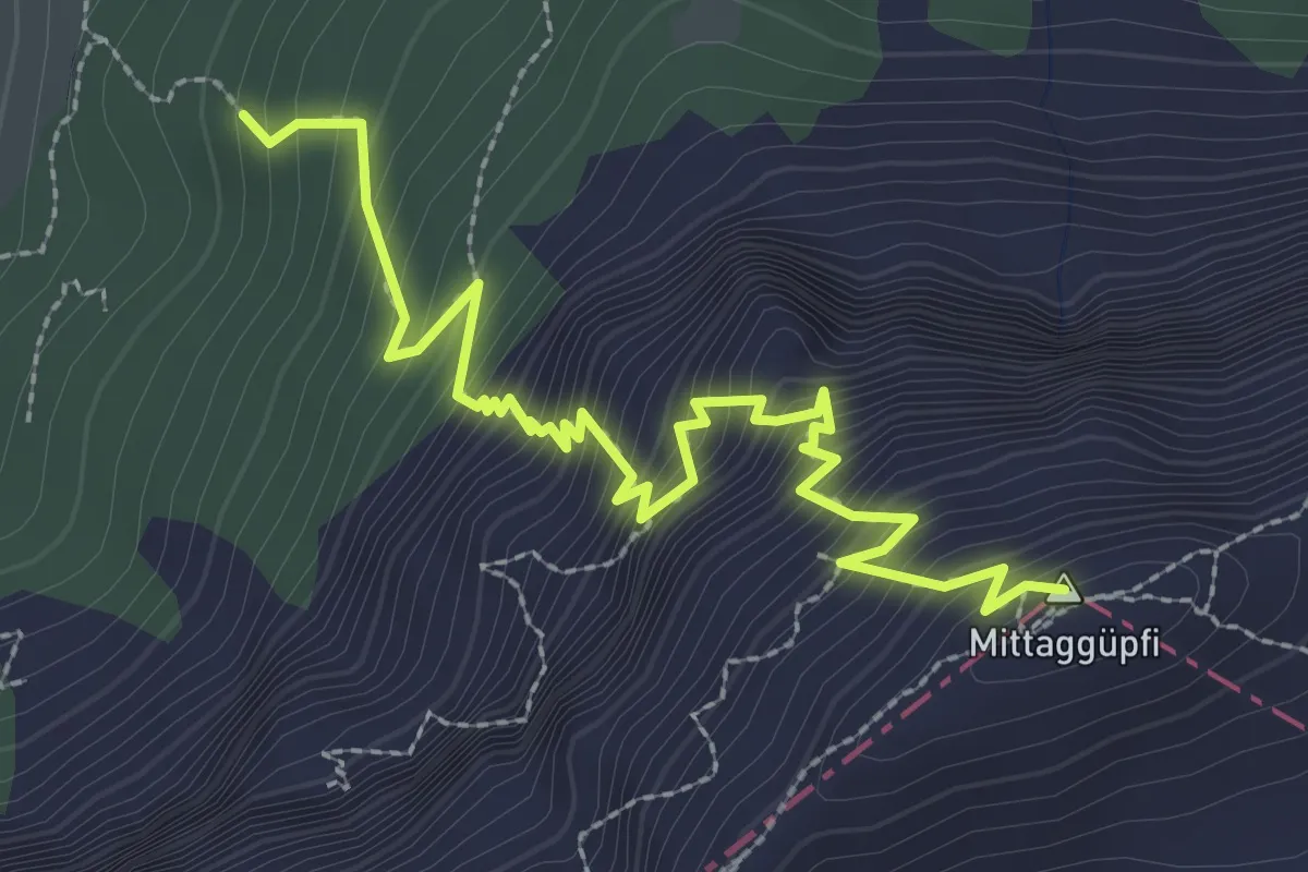
Demanding · Summit
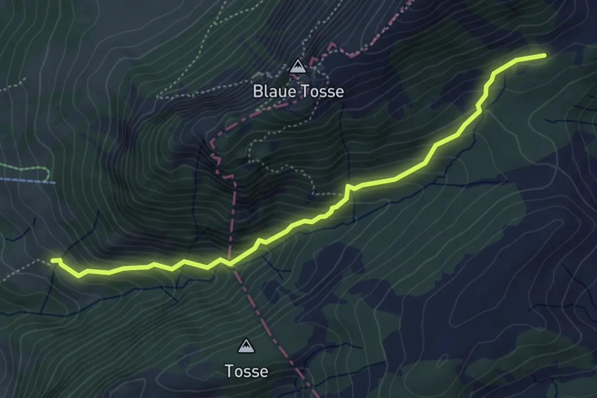
Stäfeli-Mittaggüpfi
3.2 km · ↑ 516 m · 1 h 53 min · 10 km away
Medium · Trail
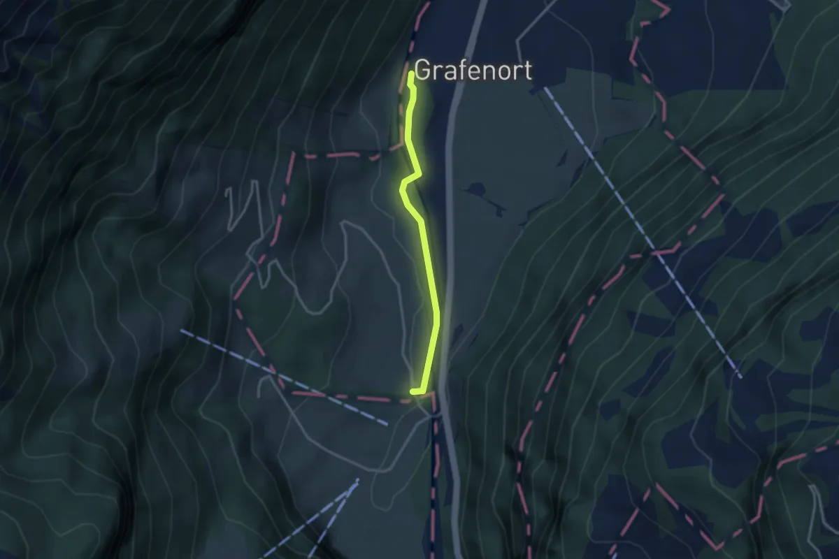
Mittlist Hütten - Rickmettlen
5.2 km · ↑ 460 m · 2 h 14 min · 10 km away
Easy · Trail
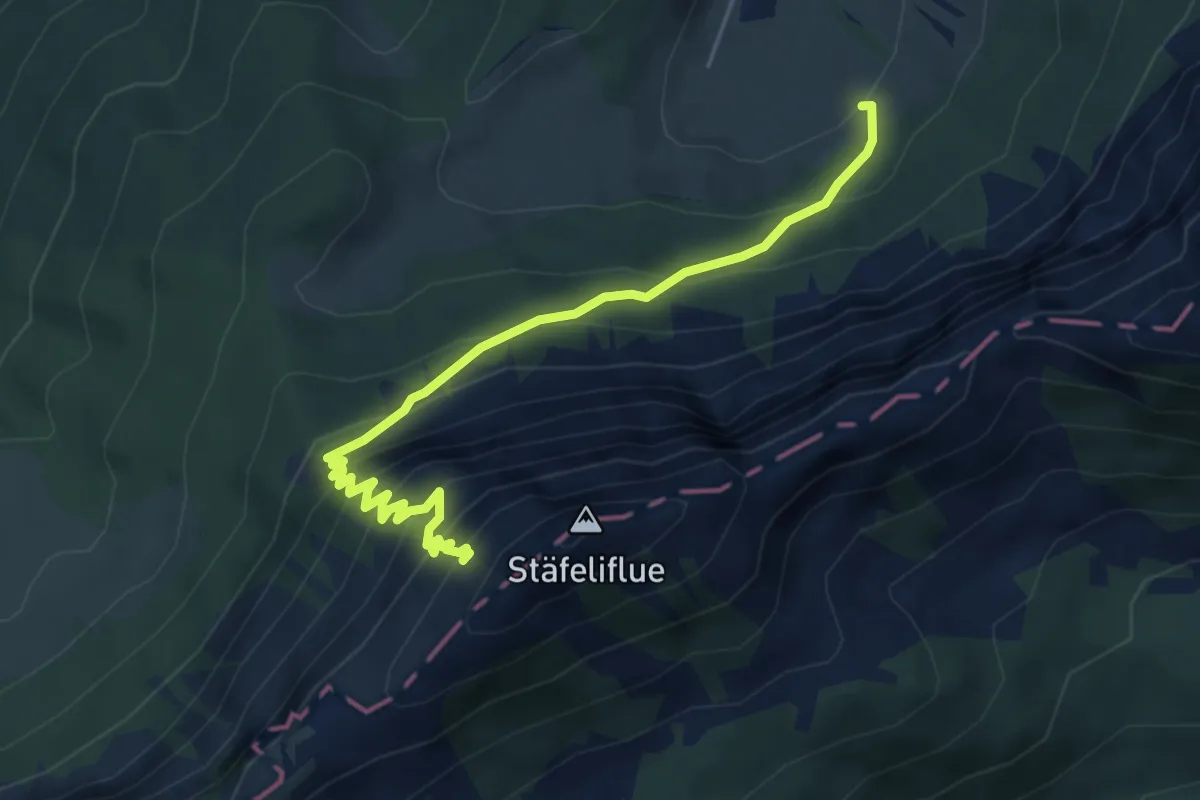
Grafenort – Hasenmatt
2.5 km · ↑ 30 m · 40 min · 10 km away
Demanding · Trail
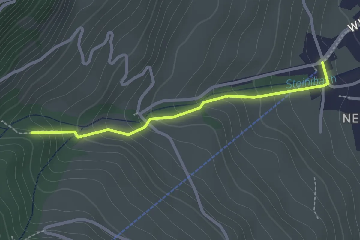
Änerstäfeli - Kanapee
5.3 km · ↑ 540 m · 2 h 25 min · 10 km away
Easy · Trail
Talstation Wirzwelibahn – Heinziwald
2.1 km · ↑ 168 m · 51 min · 10 km away
Easy · Trail
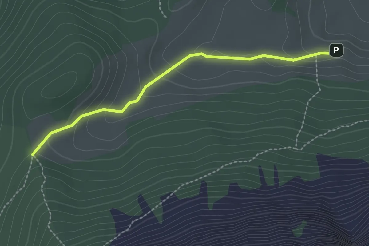
Stäfeli - Risetenegg
2.2 km · ↑ 110 m · 45 min · 10 km away
Medium · Trail
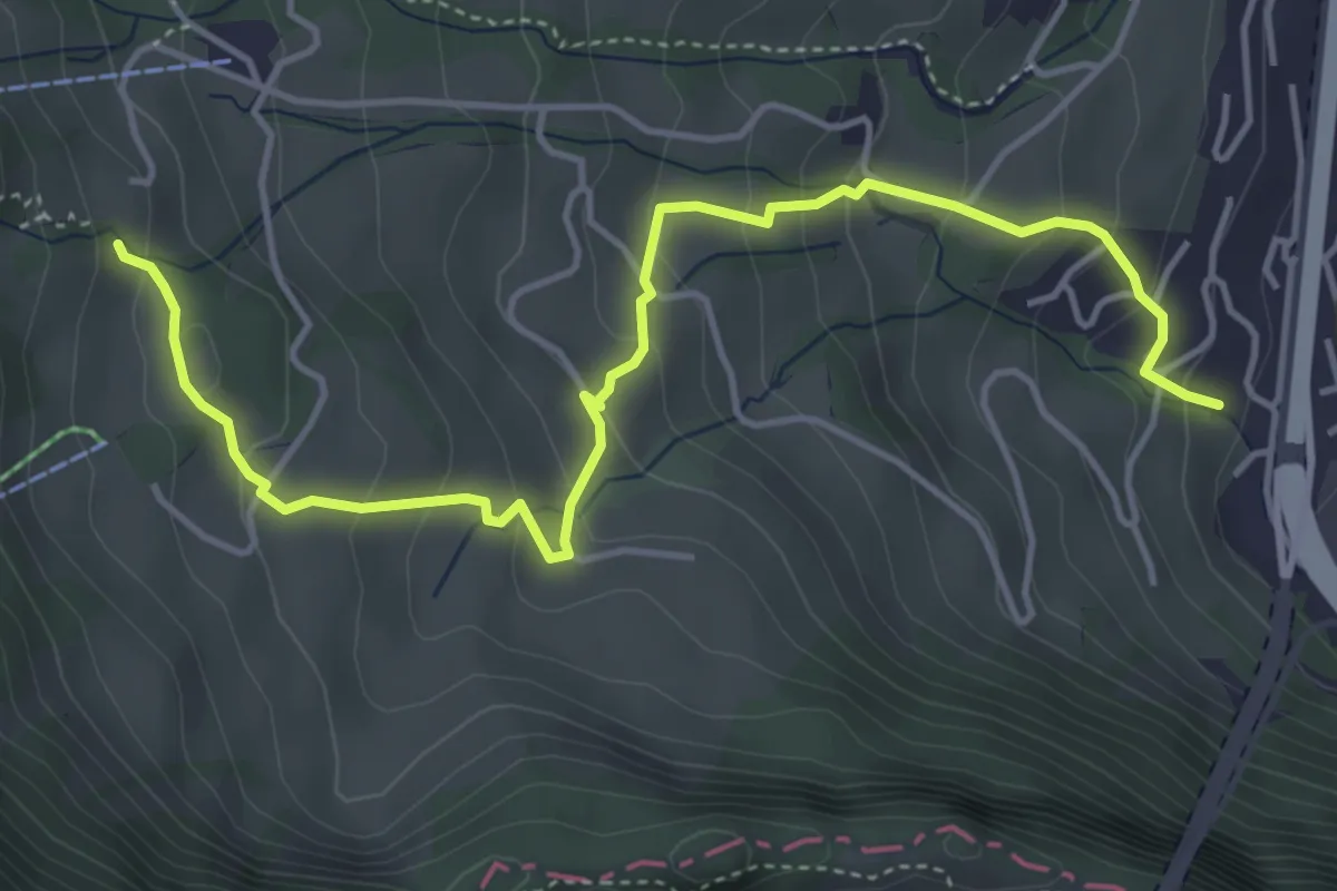
Ränggeli – Büel
5.2 km · ↑ 339 m · 1 h 58 min · 10 km away
Easy · Trail
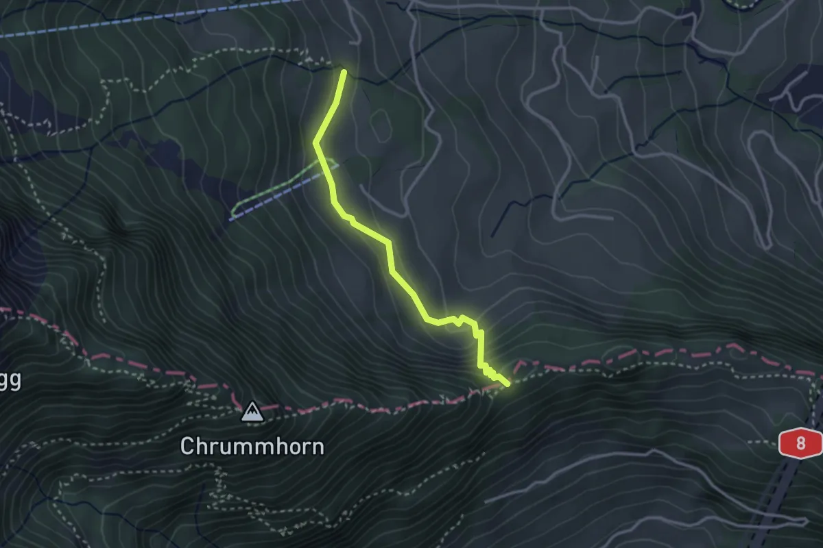
Renggpass – Ränggeli
2.7 km · ↑ 175 m · 1 h 2 min · 10 km away
Easy · Trail
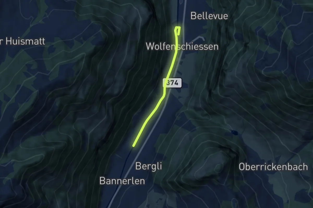
Nechimatt - Wolfenschiessen
5.2 km · ↑ 56 m · 1 h 21 min · 10 km away
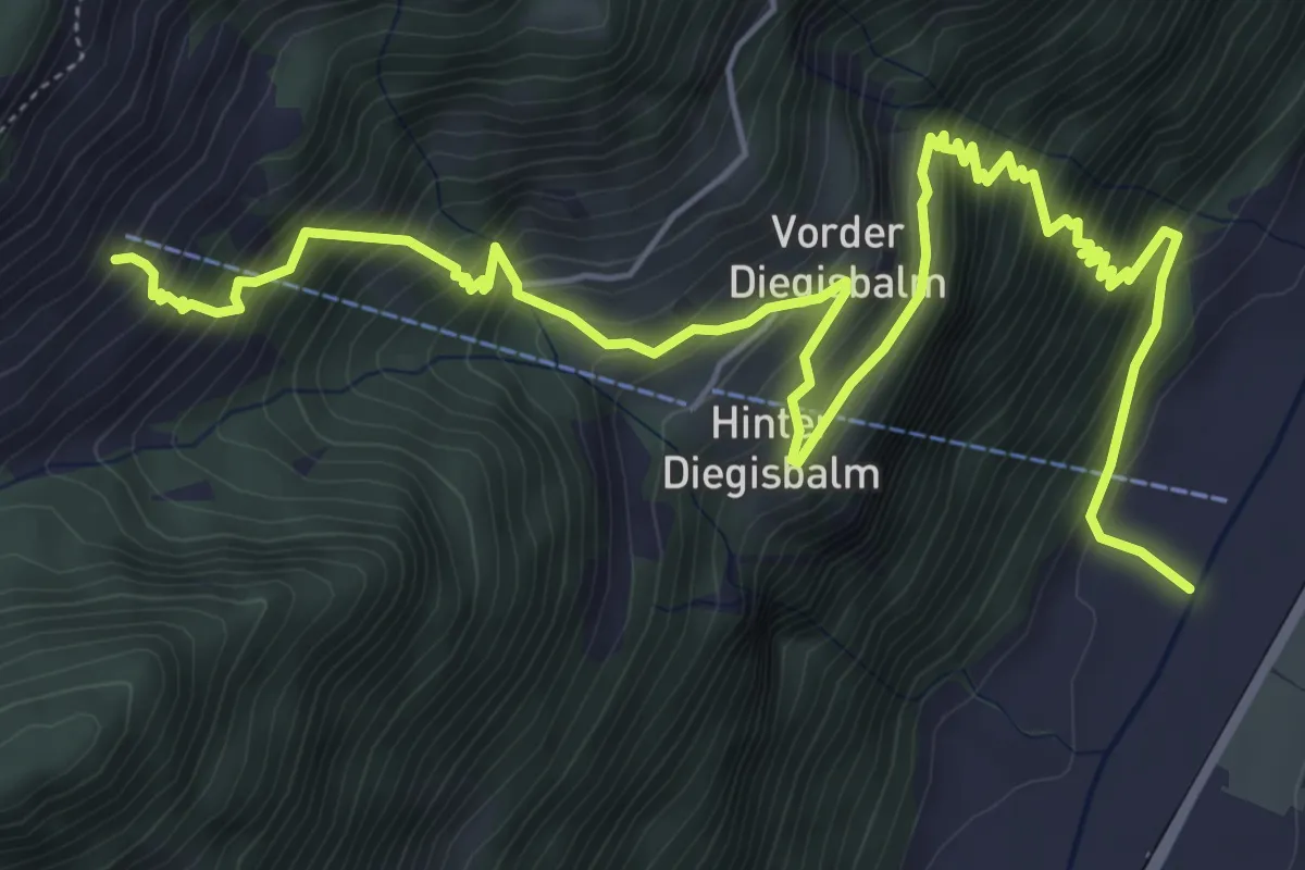
Demanding · Trail
Oberalp – Nechimatt
8.2 km · ↑ 1002 m · 4 h 6 min · 10 km away
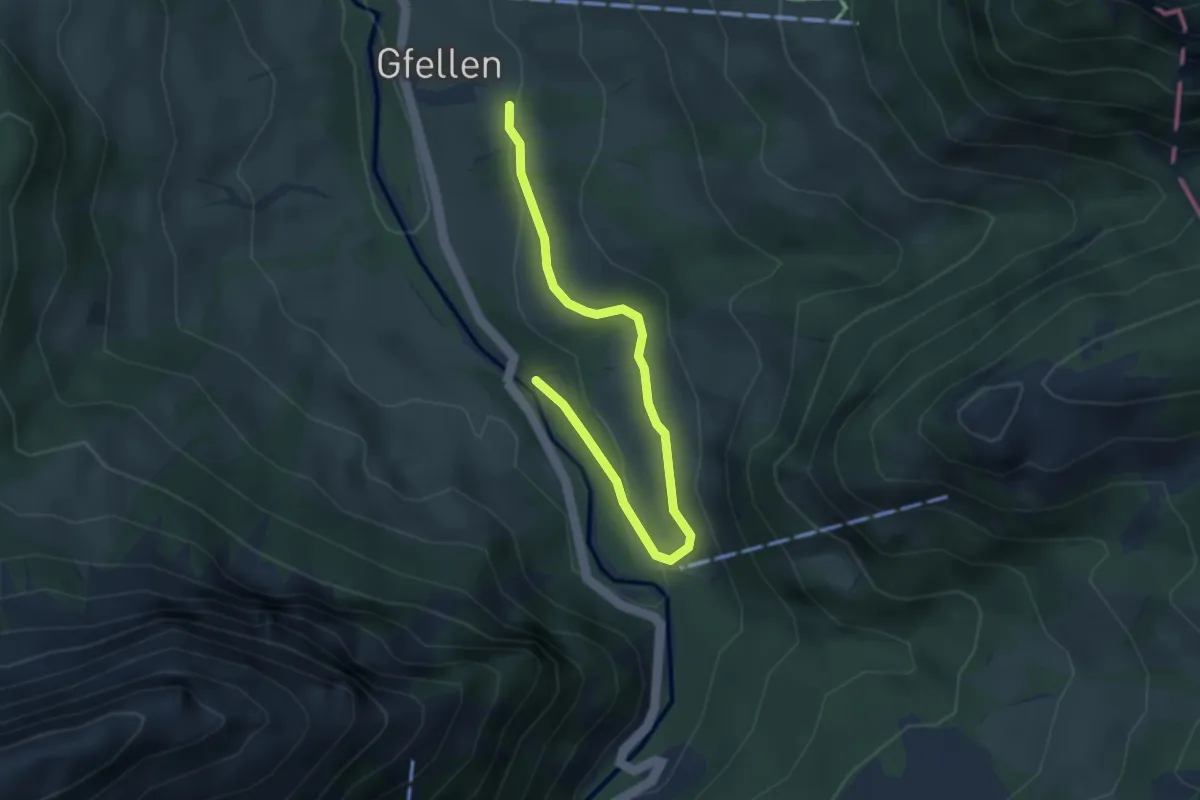
Easy · Trail
Eremitenweg
3.7 km · ↑ 85 m · 1 h 4 min · 11 km away
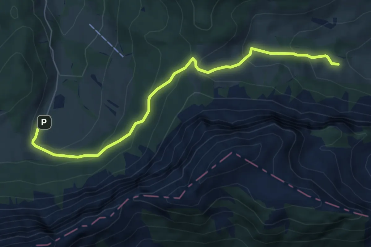
Easy · Trail
Stafel - Trochenmattsattel - Stäfeli
6.3 km · ↑ 318 m · 2 h 10 min · 11 km away
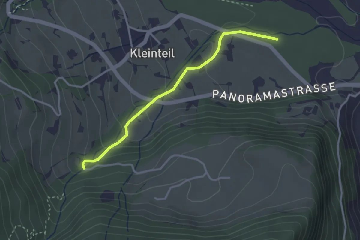
Easy · Trail
Altibach – Alte Chilche
2.7 km · ↑ 116 m · 53 min · 11 km away
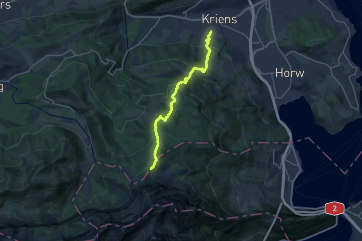
Demanding · Trail
Kriens Pilatus-Bahnen - Fräkmüntegg
12.8 km · ↑ 952 m · 5 h 5 min · 11 km away
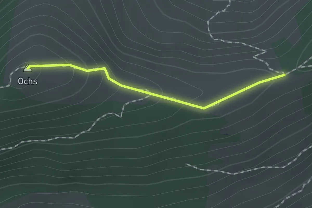
Medium · Summit
pt. 1508 - Hüenerhubel
1.2 km · ↑ 67 m · 26 min · 11 km away
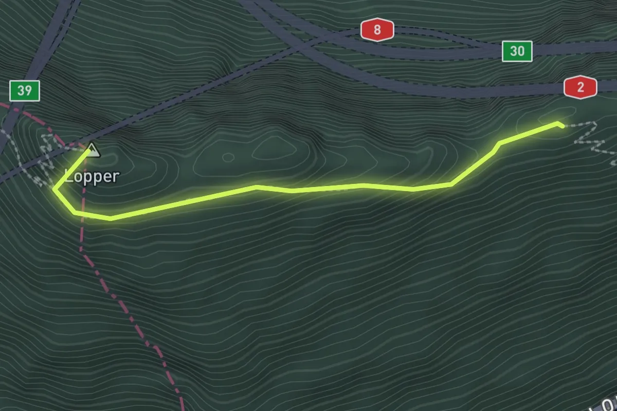
Medium · Summit
Renggpass – Lopperberg
2.4 km · ↑ 296 m · 1 h 12 min · 11 km away
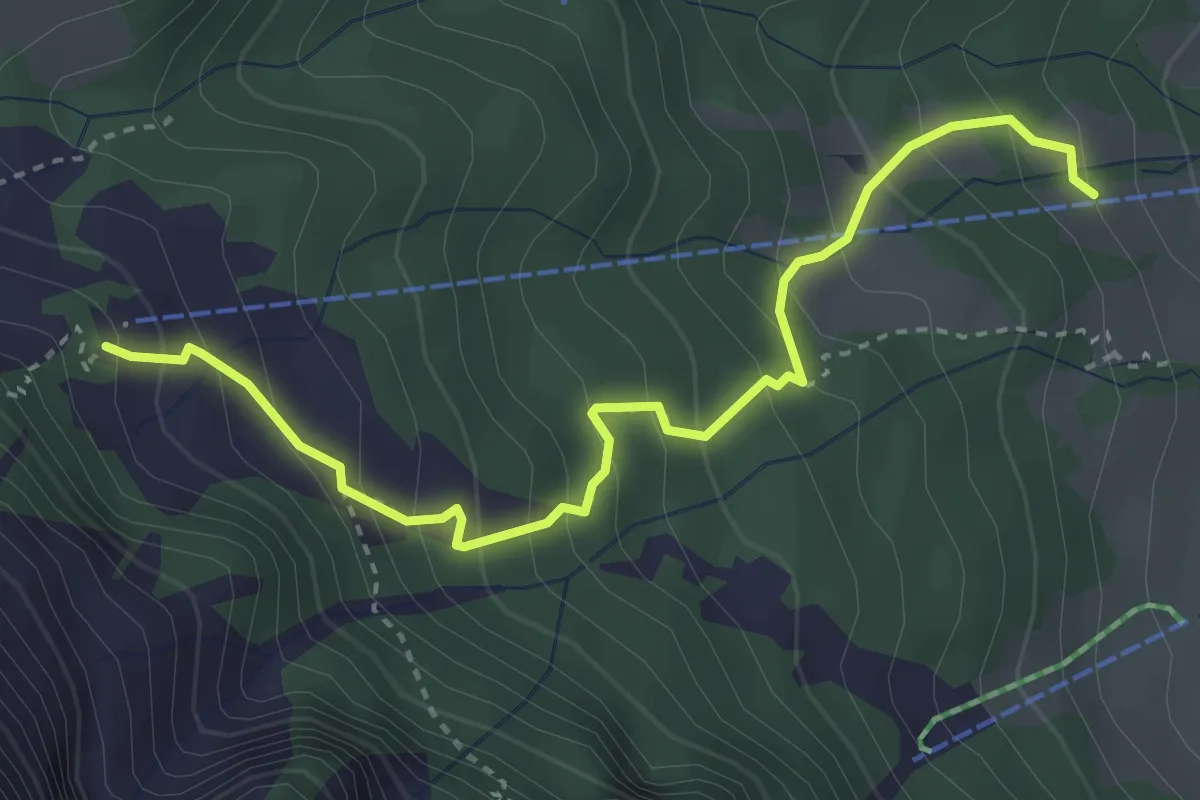
Medium · Cabin
Sören – Alpgschwänd
3.7 km · ↑ 359 m · 1 h 39 min · 11 km away
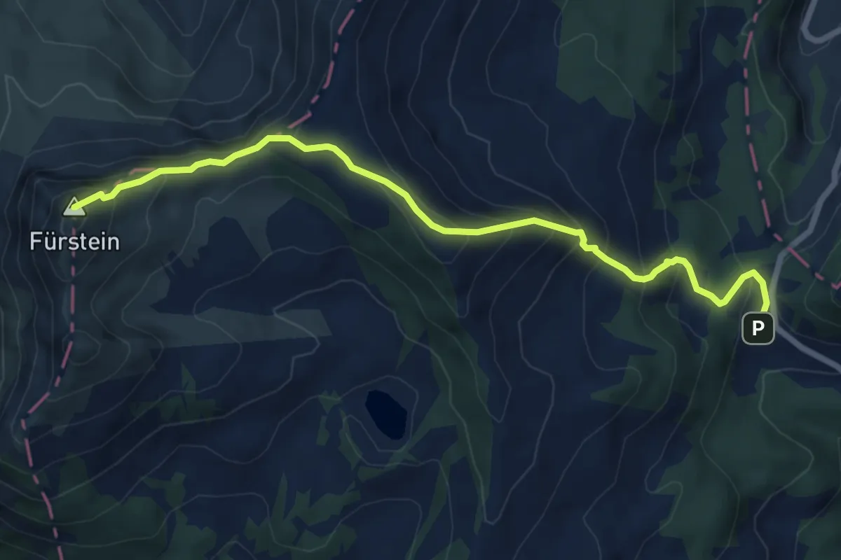
Medium · Summit
Glaubenbergpass – Fürstein
7.2 km · ↑ 570 m · 2 h 56 min · 11 km away
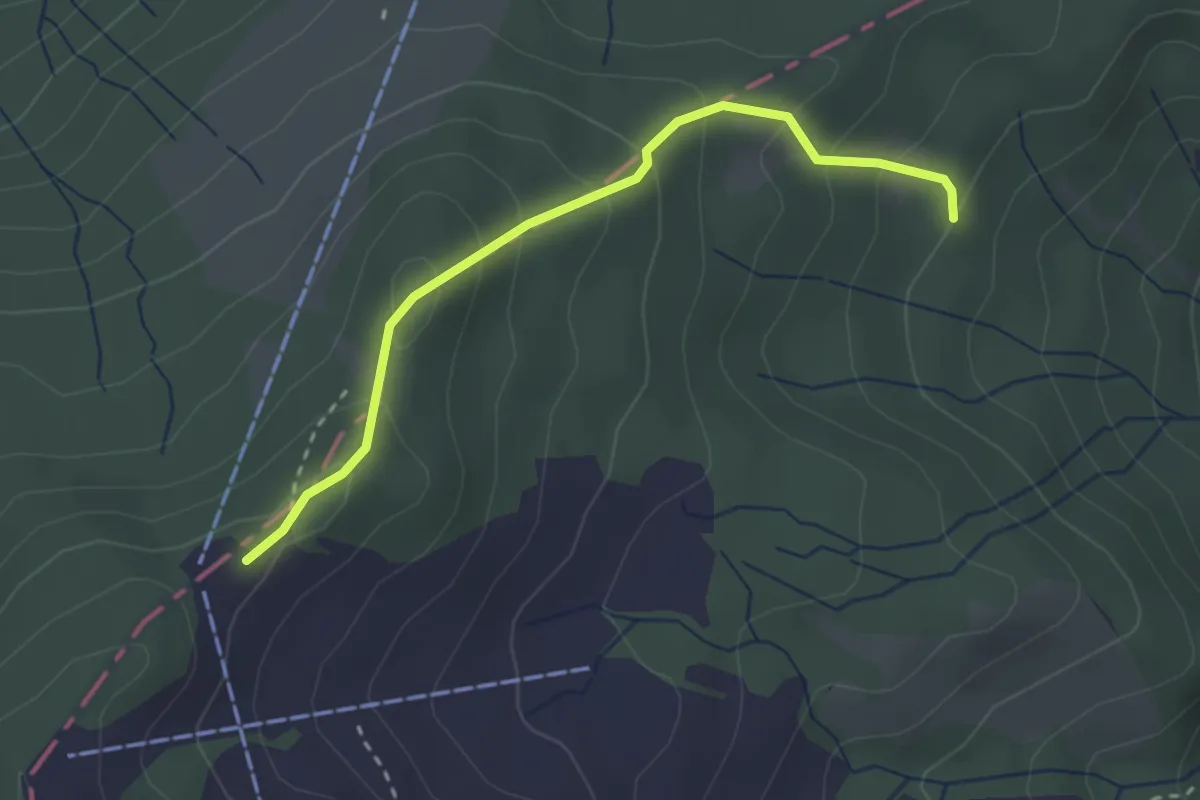
Easy · Trail
Fräkmüntegg – Riedboden
2.7 km · ↑ 207 m · 1 h 5 min · 11 km away
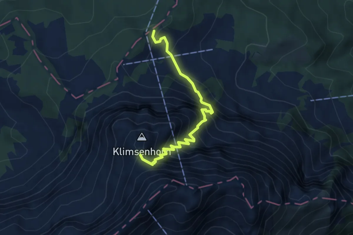
Demanding · Trail
Fräkmüntegg – Klimsen
4.4 km · ↑ 658 m · 2 h 28 min · 11 km away
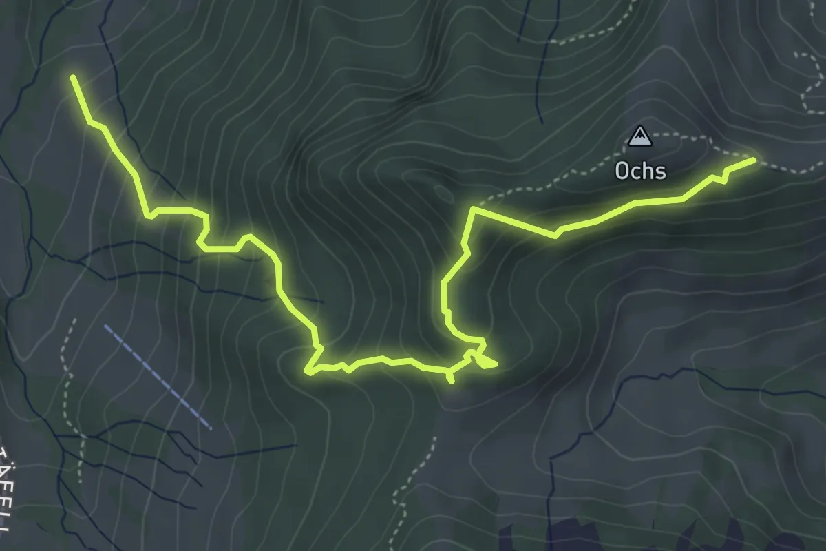
Medium · Trail
Hüenerhubel - Lochberg
6.0 km · ↑ 502 m · 2 h 30 min · 11 km away