Trails near Sarnen
375 hikes starting within 15 km, nearest first.
Nearest first, page 4 of 8
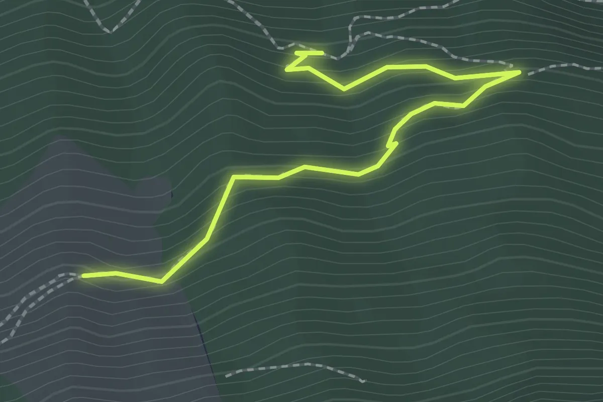
Easy · Trail
Luegeren – Chalcherli
2.3 km · ↑ 186 m · 56 min · 11 km away
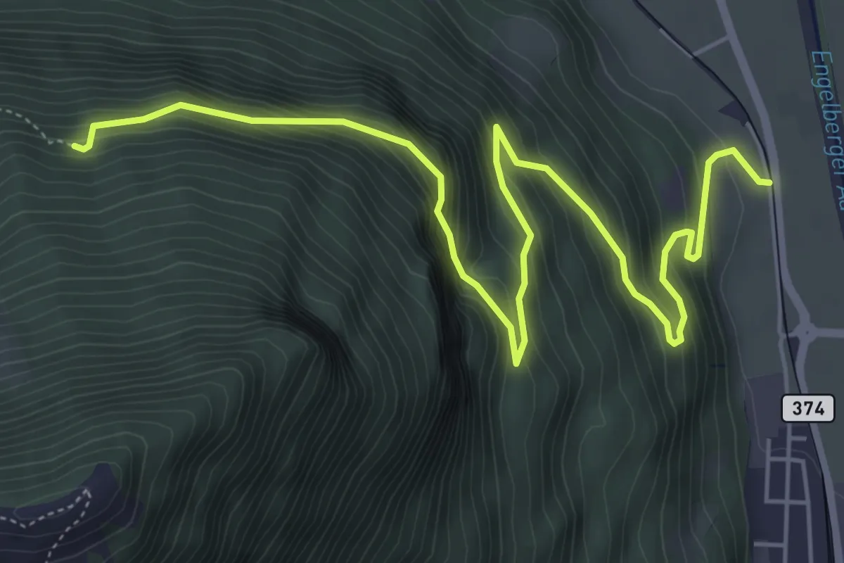
Demanding · Trail
Luegeren – Ägertli
7.1 km · ↑ 809 m · 3 h 25 min · 11 km away
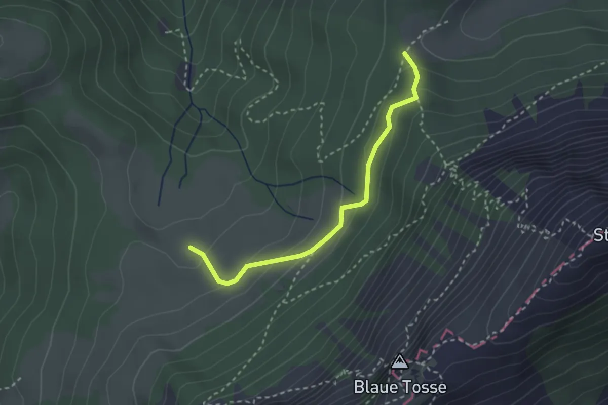
Medium · Trail
Risete - Risetenegg
2.5 km · ↑ 136 m · 53 min · 11 km away
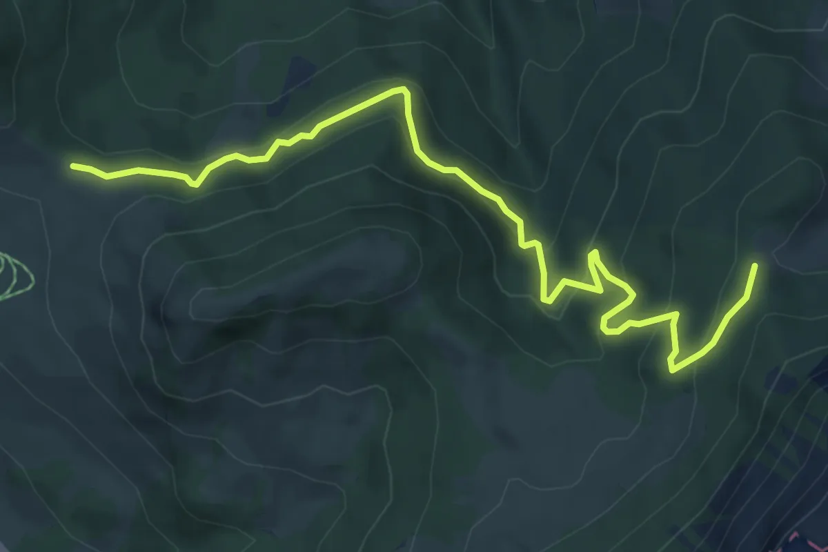
Medium · Trail
Wissenegg - Risetenegg
7.4 km · ↑ 418 m · 2 h 39 min · 11 km away
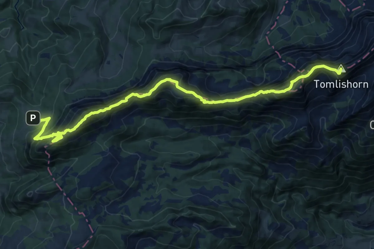
Demanding · Summit
PIlatus Kulm – Risete
20.8 km · ↑ 2055 m · 9 h 22 min · 11 km away
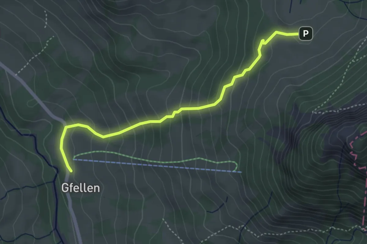
Medium · Trail
Gfellen - Risete
4.3 km · ↑ 327 m · 1 h 43 min · 11 km away
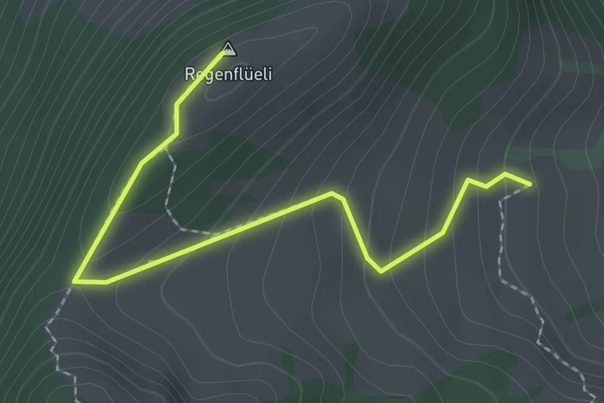
Medium · Summit
Regenflüeli - Gumm
2.3 km · ↑ 153 m · 52 min · 11 km away
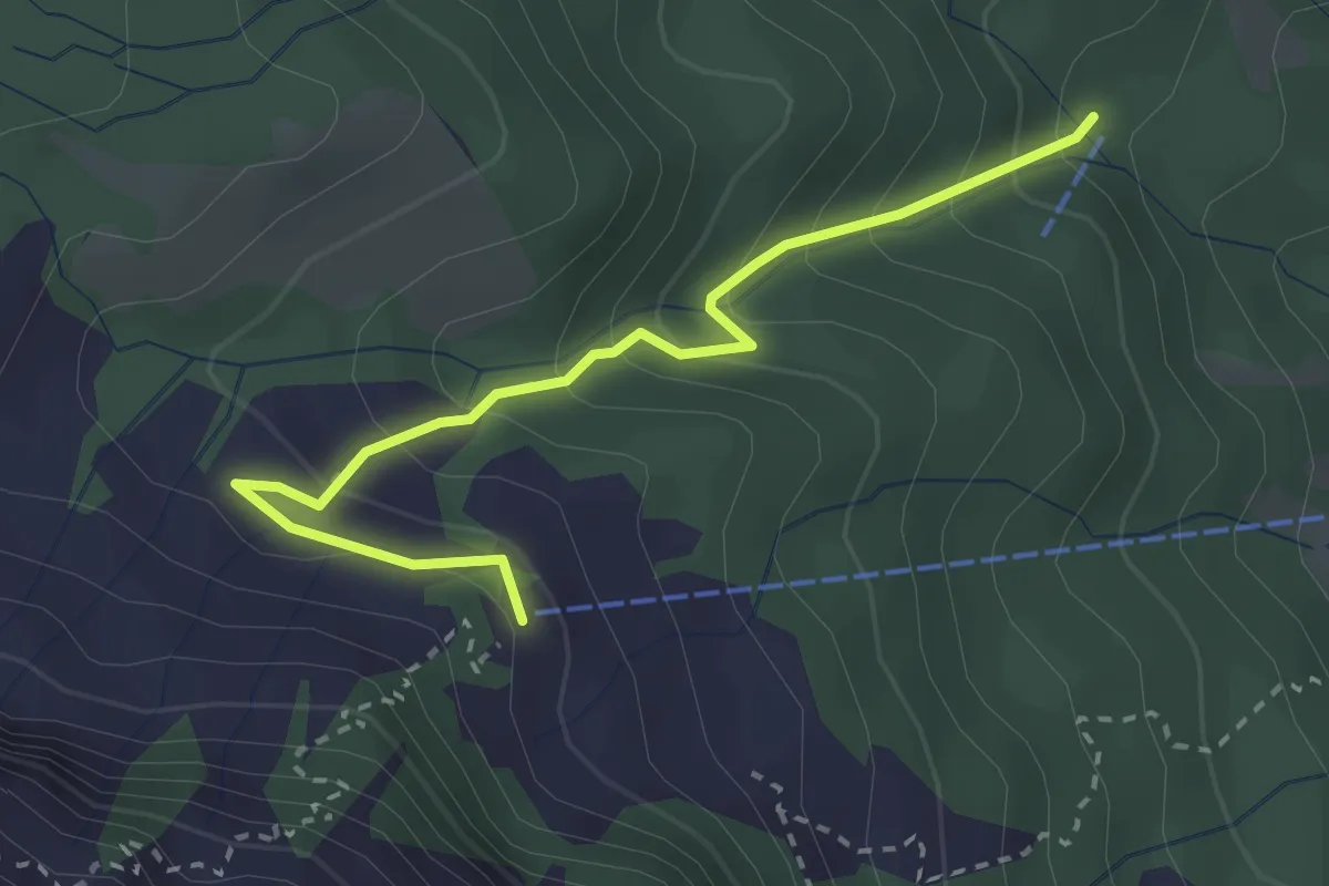
Medium · Cabin
Riedboden – Alpgschwänd
2.9 km · ↑ 222 m · 1 h 10 min · 11 km away
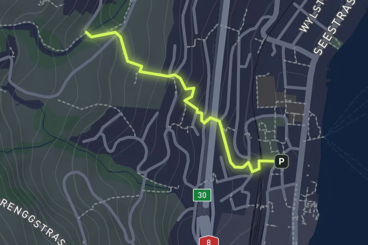
Easy · Trail
Hergiswil – Unter Chellen
2.0 km · ↑ 113 m · 44 min · 11 km away
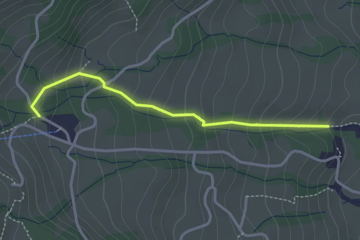
Medium · Trail
Ober Chellen – Schwandi
2.2 km · ↑ 173 m · 54 min · 11 km away
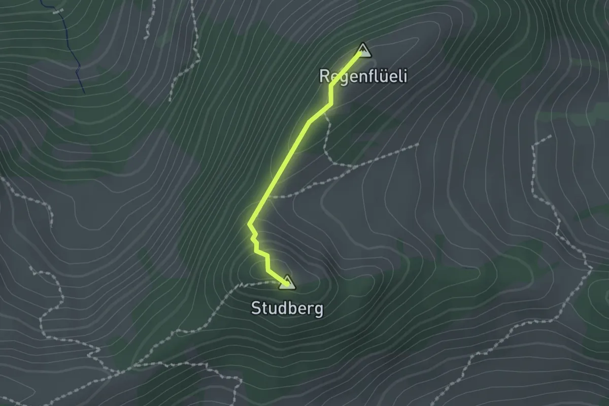
Medium · Summit
Regenflüeli - Pt. 1508
1.2 km · ↑ 79 m · 28 min · 11 km away
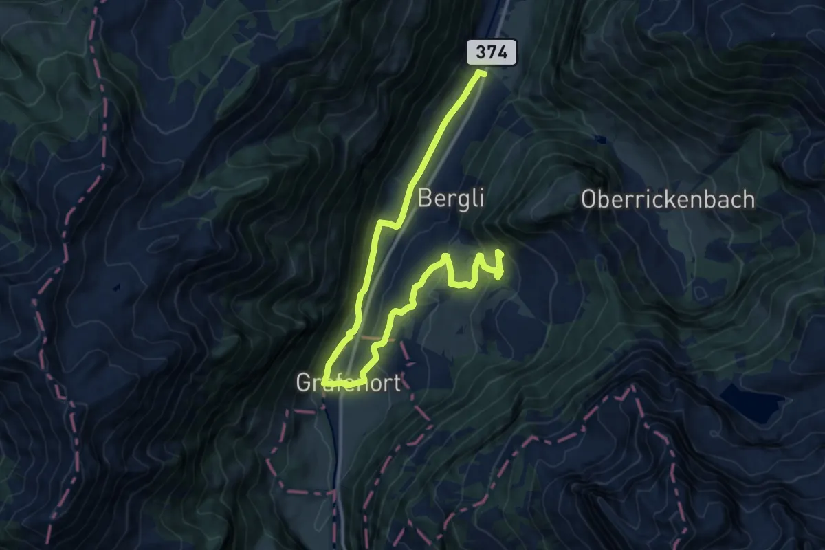
Medium · Trail
Kapellenweg
7.9 km · ↑ 394 m · 2 h 39 min · 11 km away
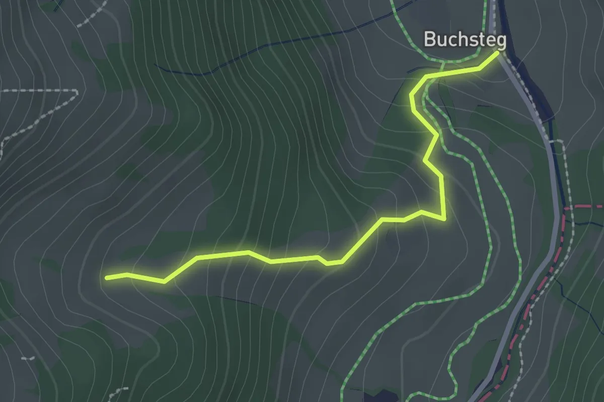
Easy · Trail
Buechstäg - Ober Honegg
2.2 km · ↑ 191 m · 56 min · 11 km away
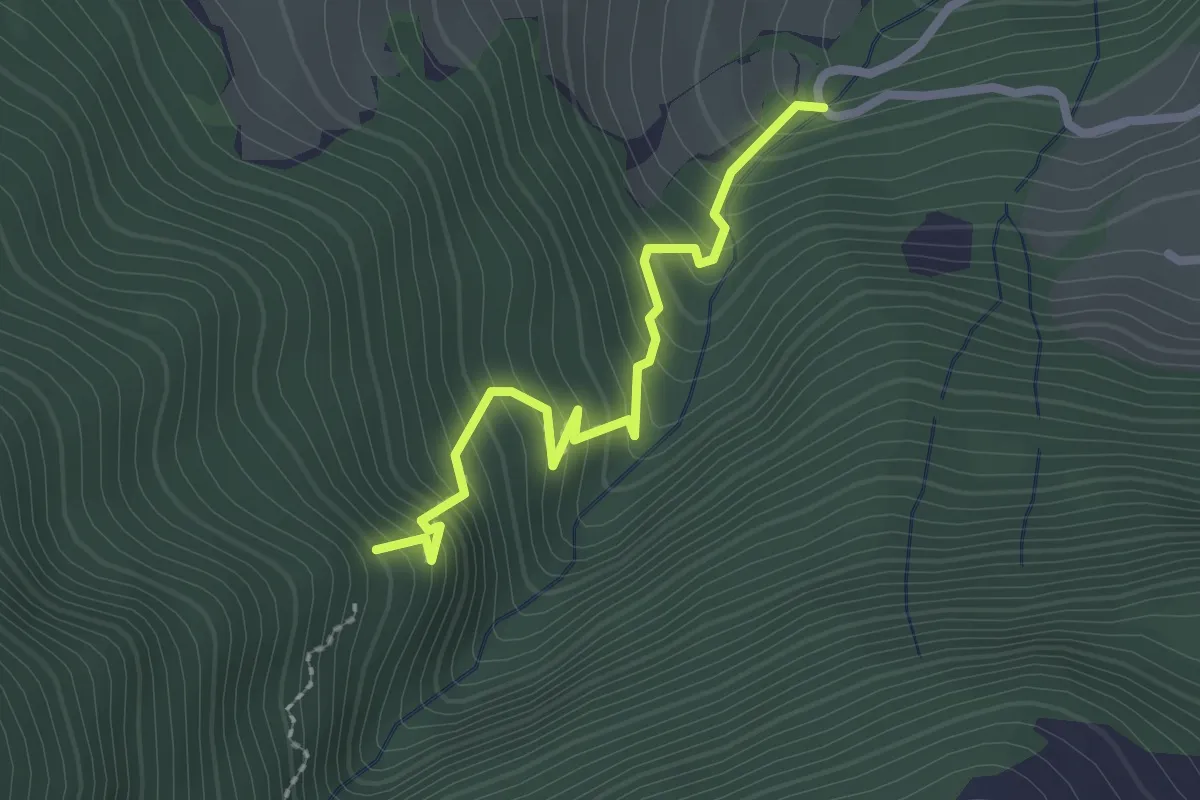
Medium · Trail
Zopfwald – Altibach
2.2 km · ↑ 259 m · 1 h 5 min · 11 km away
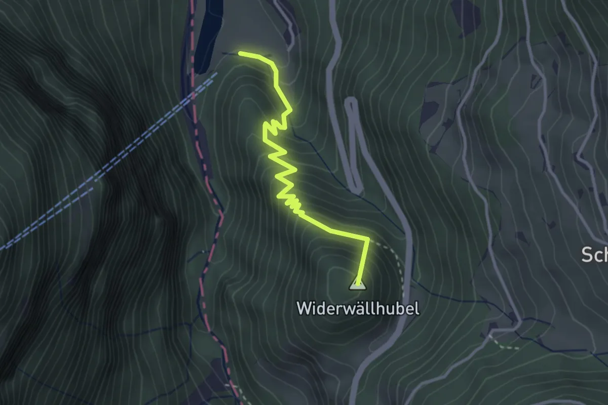
Medium · Summit
Grünenwald – Obermatt
3.0 km · ↑ 376 m · 1 h 32 min · 11 km away
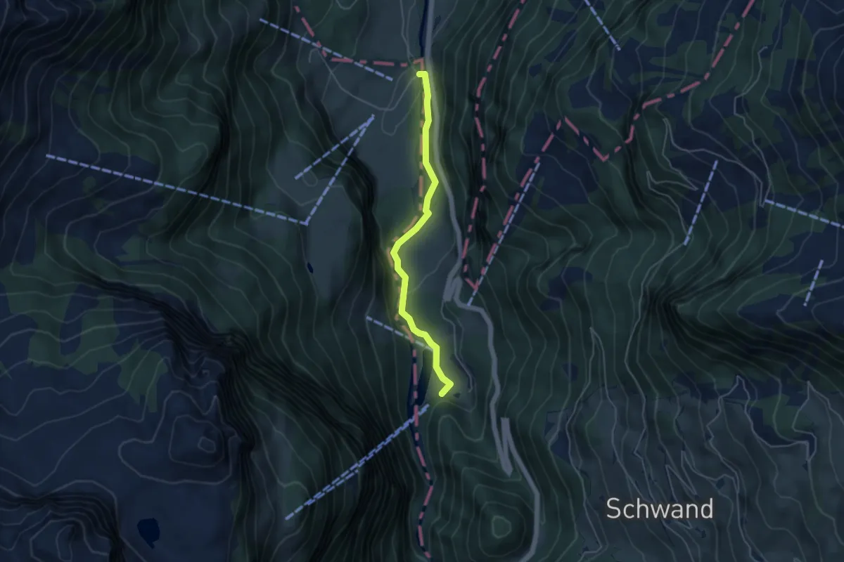
Easy · Trail
Mettlenbrücke – Obermatt
4.2 km · ↑ 111 m · 1 h 14 min · 11 km away
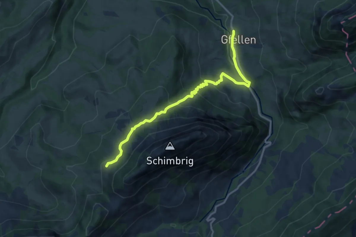
Medium · Trail
Biosphärenzentrum Entlebuch
9.0 km · ↑ 506 m · 3 h 14 min · 11 km away
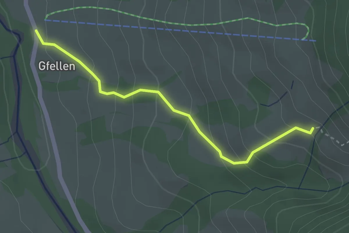
Medium · Trail
Gfellen - Mittlist Hütten
2.7 km · ↑ 219 m · 1 h 7 min · 11 km away
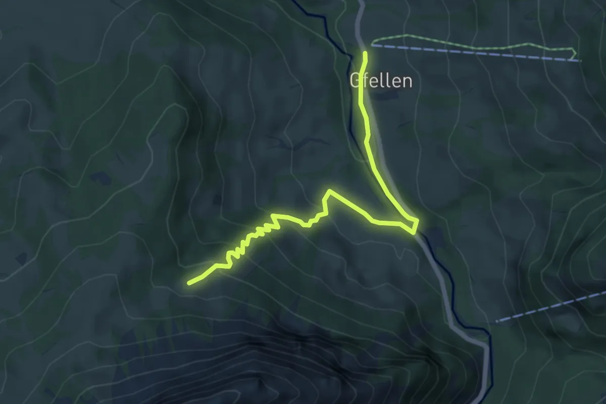
Easy · Trail
Gfellen - Unter Stettili
5.5 km · ↑ 313 m · 1 h 58 min · 11 km away
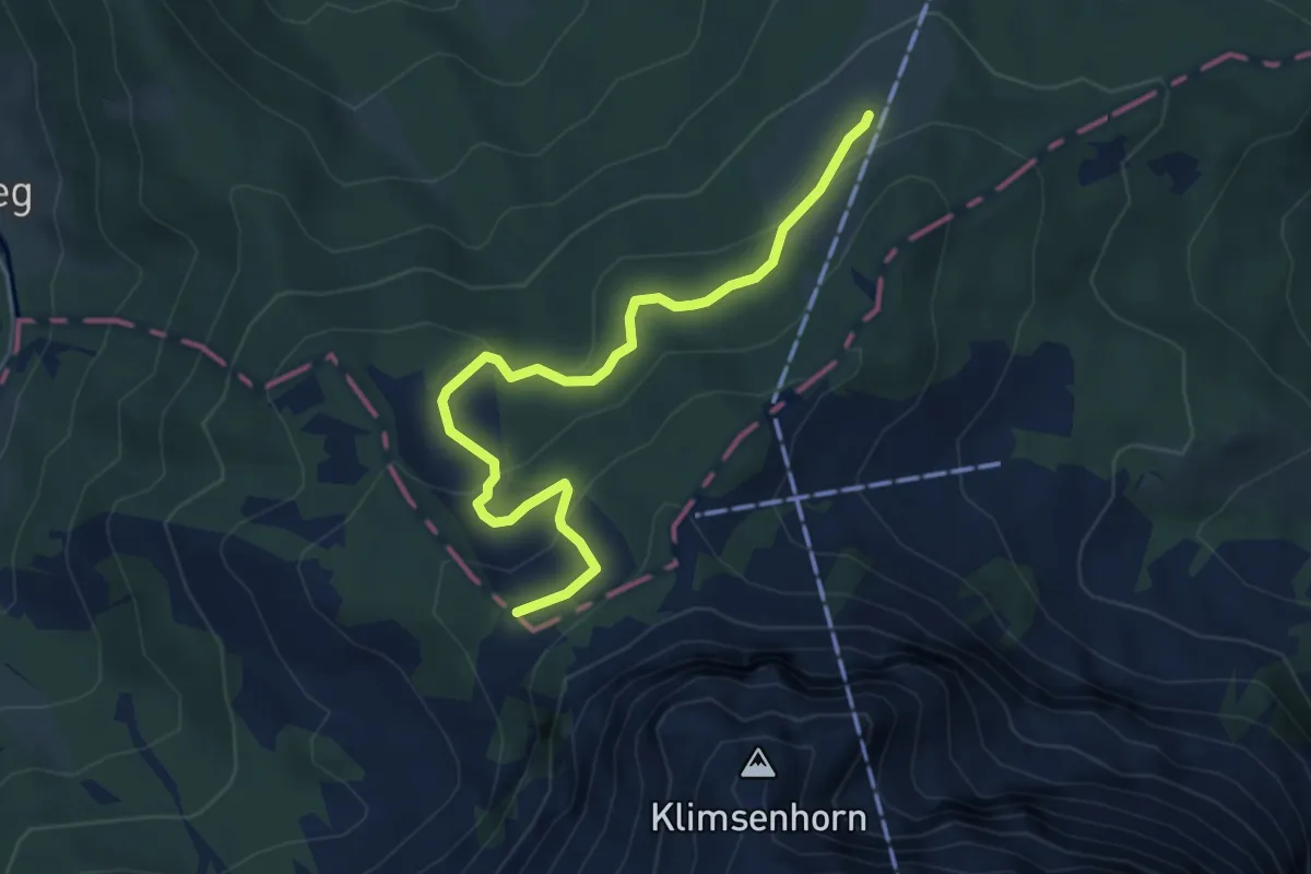
Medium · Trail
Lauelenegg – Mühlemäss
4.9 km · ↑ 198 m · 1 h 35 min · 11 km away
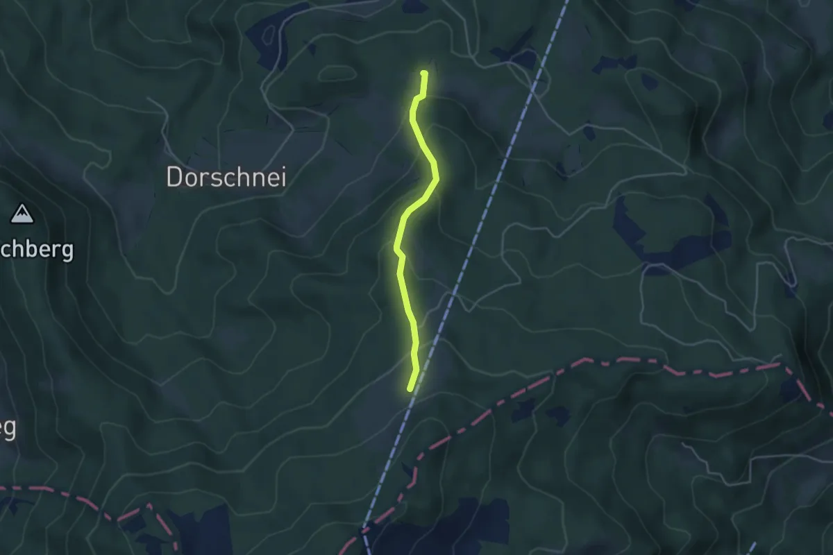
Easy · Trail
Ricketschwändi – Mühlemäss
3.4 km · ↑ 257 m · 1 h 21 min · 11 km away
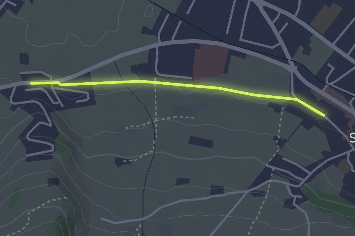
Easy · Trail
Stans Bahnhof – Lewengrueben
2.5 km · ↑ 12 m · 38 min · 11 km away
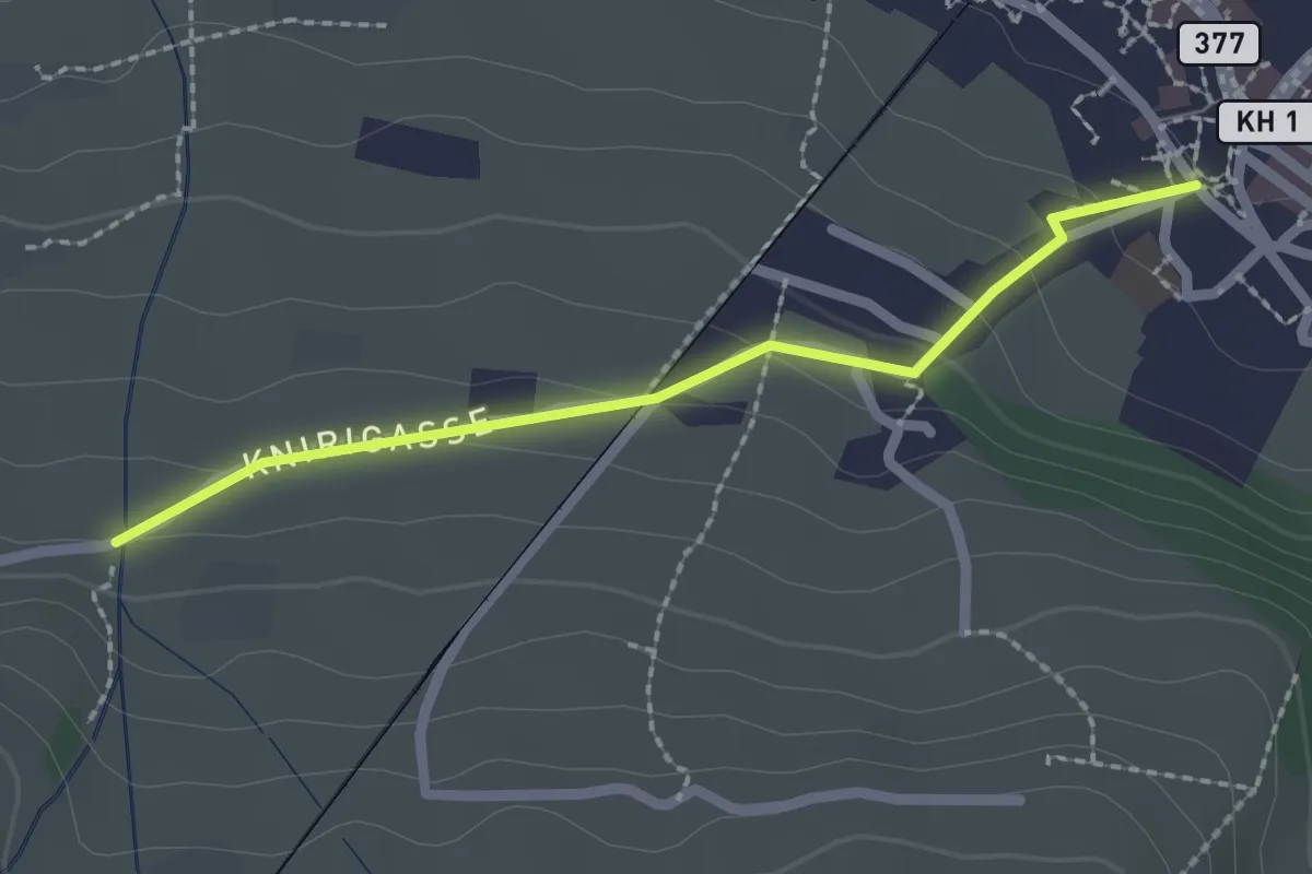
Easy · Trail
Stans Dorfplatz – Christenmatt
2.0 km · ↑ 76 m · 39 min · 11 km away
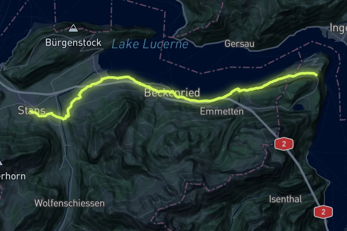
Demanding · Trail
Trans Swiss Trail
20.3 km · ↑ 860 m · 6 h 46 min · 11 km away
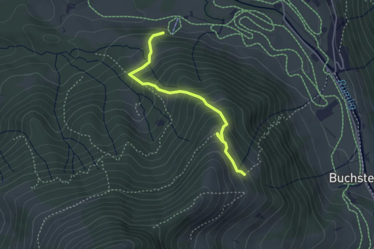
Medium · Trail
Rosenboden - Meienstoss
3.3 km · ↑ 313 m · 1 h 27 min · 11 km away
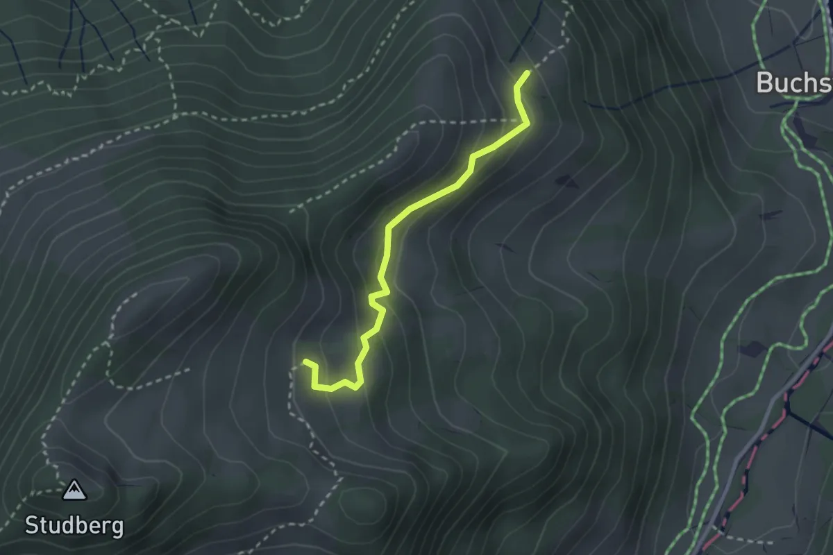
Easy · Trail
Rosenboden - Gumm
2.4 km · ↑ 181 m · 58 min · 11 km away
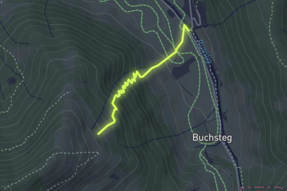
Medium · Trail
Rosenboden - Gantersei
2.5 km · ↑ 288 m · 1 h 13 min · 11 km away
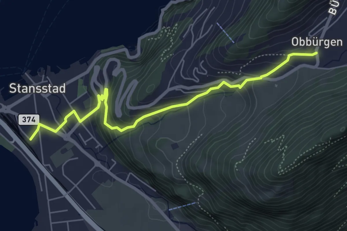
Medium · Trail
Obbürgen – Stansstad
5.7 km · ↑ 344 m · 2 h 5 min · 11 km away
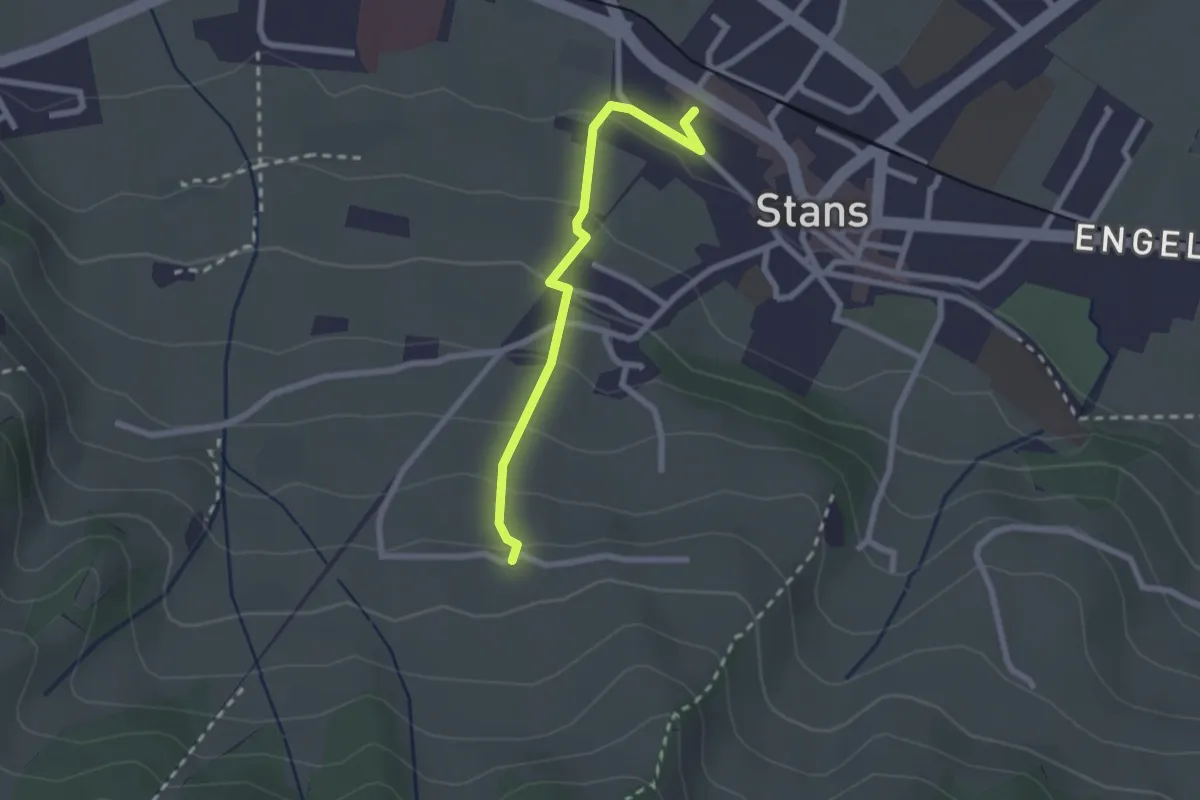
Easy · Trail
Stanserhornbahn – Unter Eggenburg
2.2 km · ↑ 128 m · 47 min · 11 km away
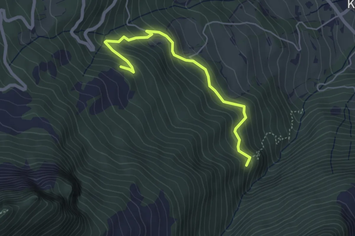
Medium · Trail
Pörterwald – Zopfwald
4.4 km · ↑ 324 m · 1 h 44 min · 11 km away
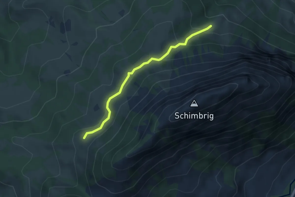
Easy · Trail
Unter Stettili - Schimbrig Bad
3.5 km · ↑ 188 m · 1 h 15 min · 11 km away
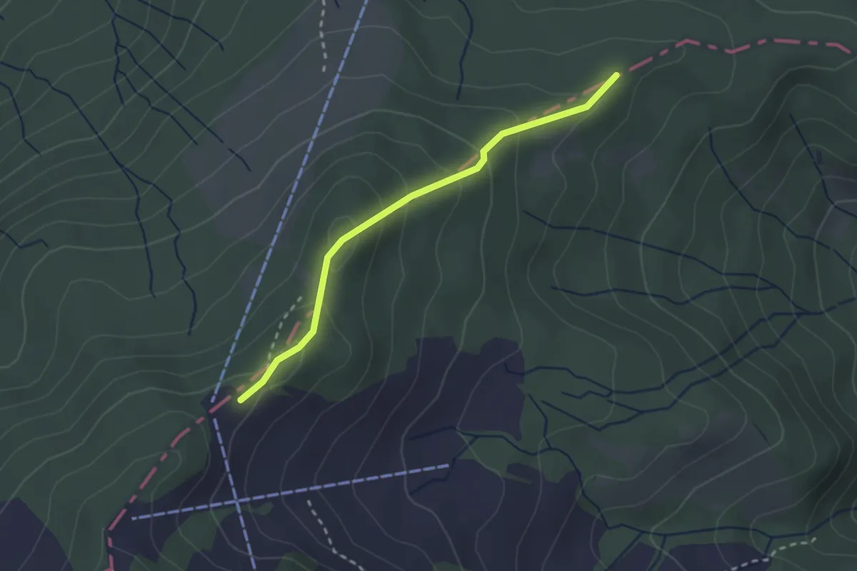
Easy · Trail
Moosblüemliboden – Fräkmüntegg
2.4 km · ↑ 160 m · 55 min · 11 km away
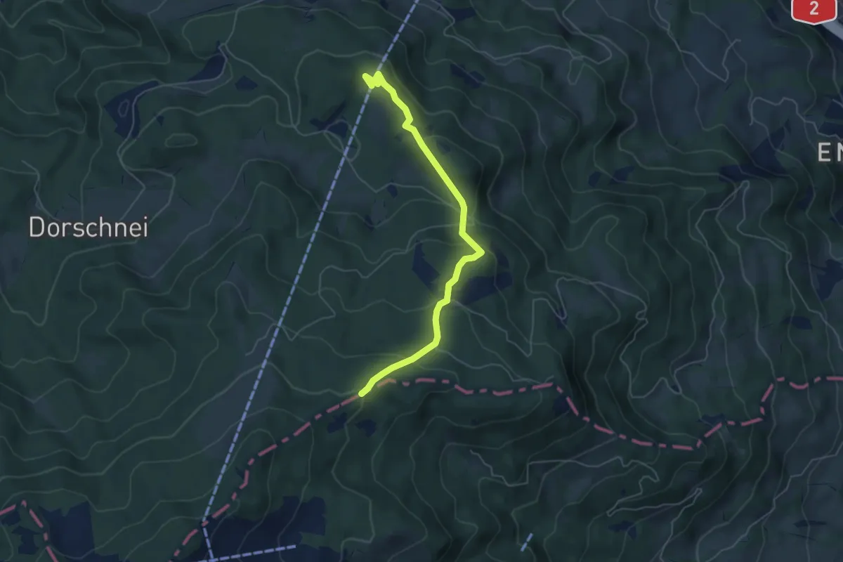
Easy · Trail
Moosblüemliboden – Krienseregg
5.3 km · ↑ 229 m · 1 h 45 min · 11 km away
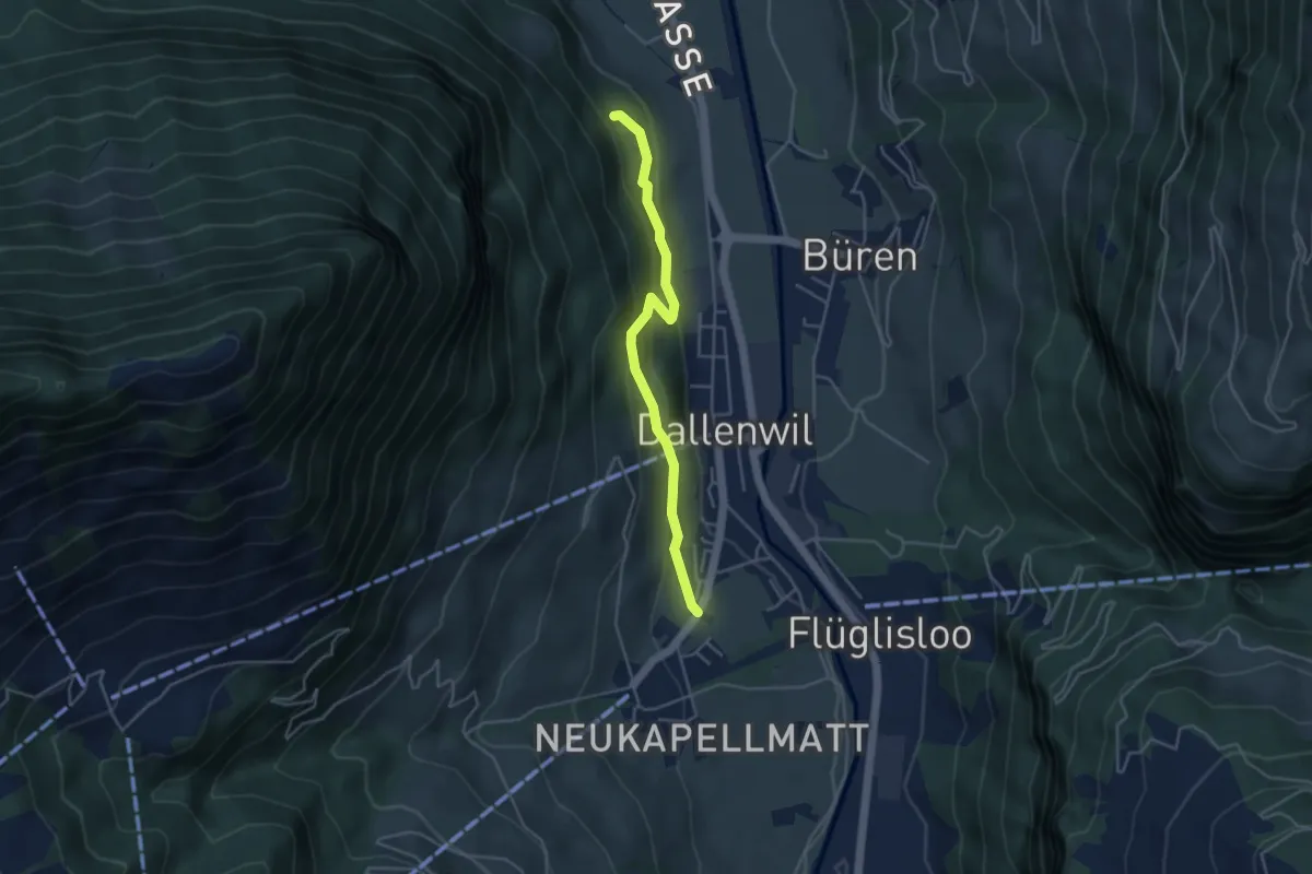
Easy · Trail
Hof – Zelgersrank
4.0 km · ↑ 191 m · 1 h 21 min · 11 km away
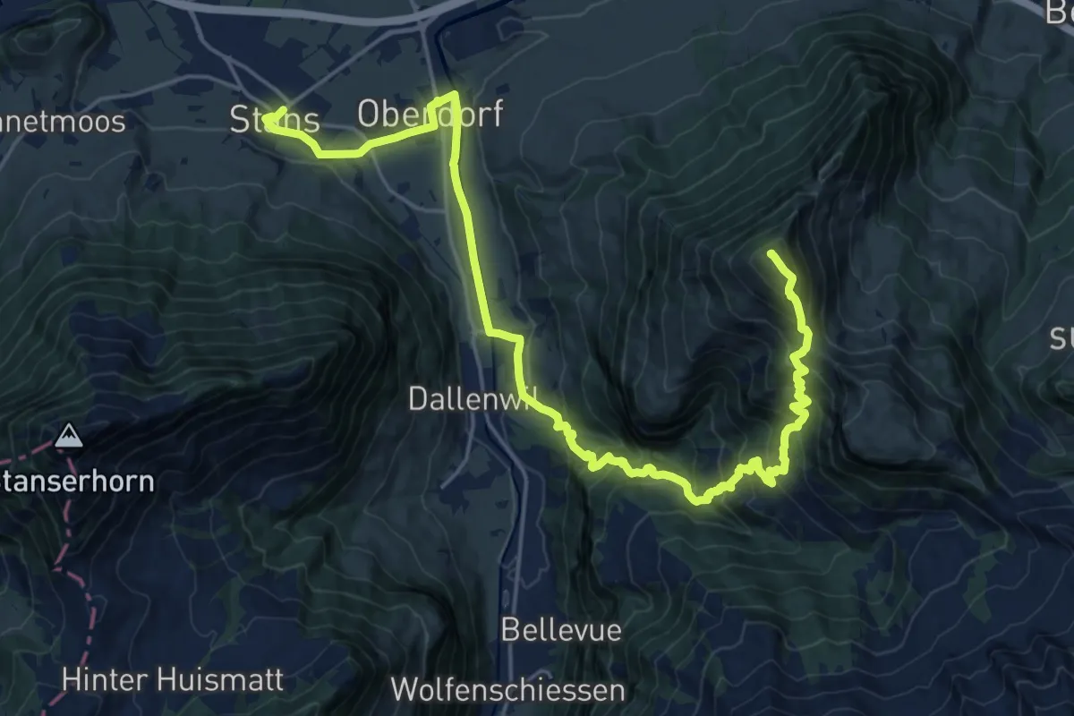
Demanding · Summit
Nidwaldner Zentrumsweg
25.3 km · ↑ 1406 m · 9 h 1 min · 12 km away
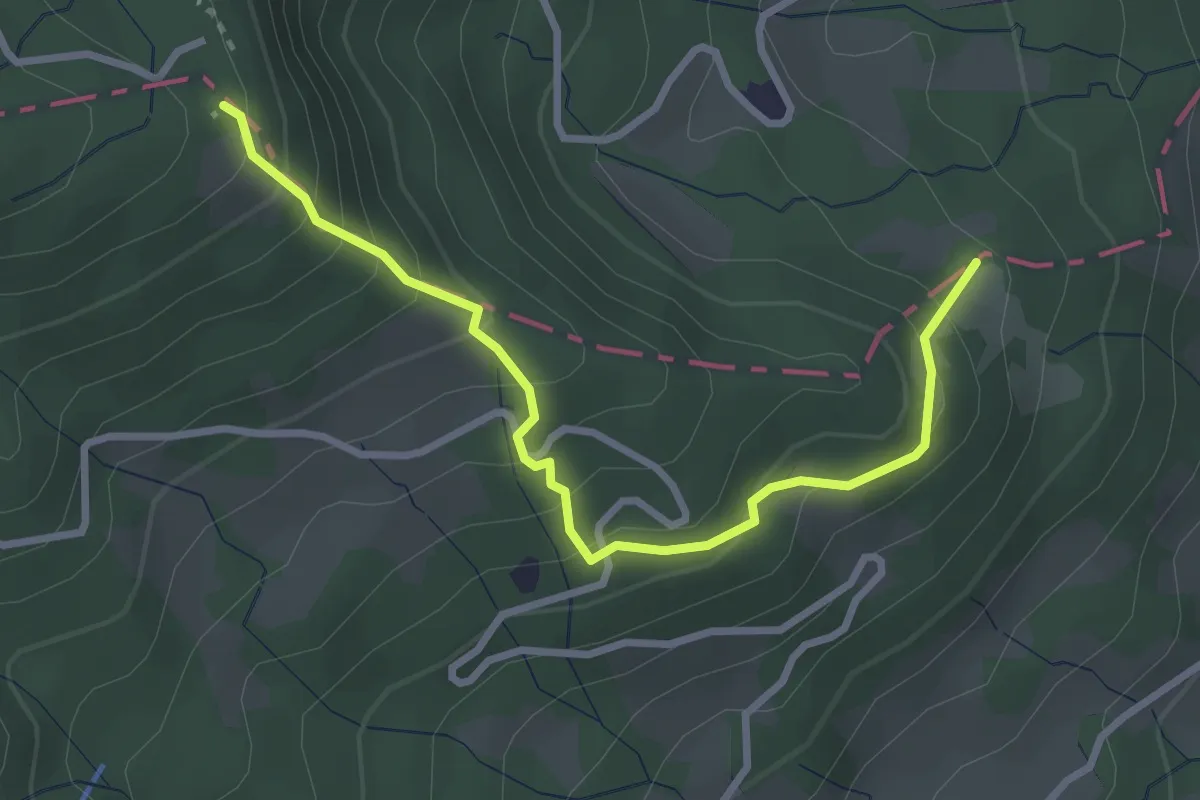
Easy · Trail
Hohrüti – Schönenboden
3.1 km · ↑ 277 m · 1 h 20 min · 12 km away
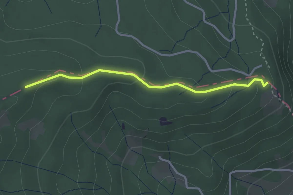
Easy · Trail
Schönenboden – Moosblüemliboden
2.5 km · ↑ 123 m · 51 min · 12 km away
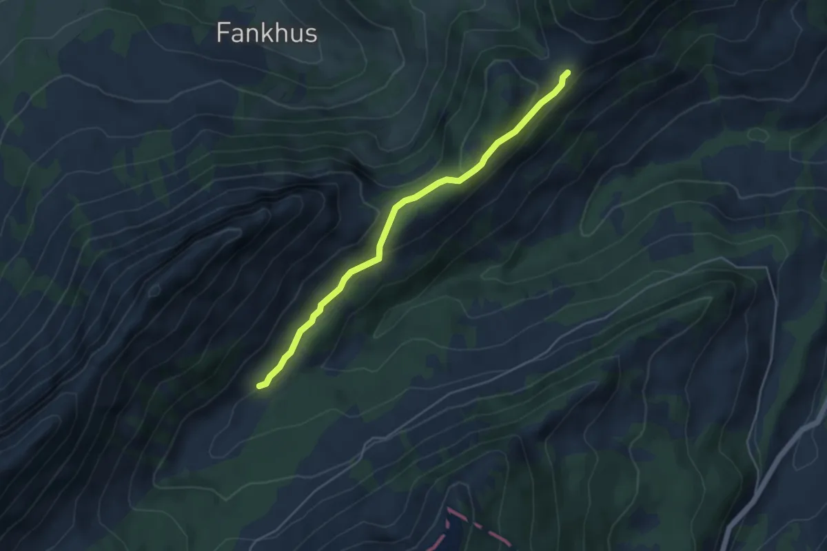
Easy · Trail
Ober Looeg - Chlusmättili
4.4 km · ↑ 156 m · 1 h 23 min · 12 km away
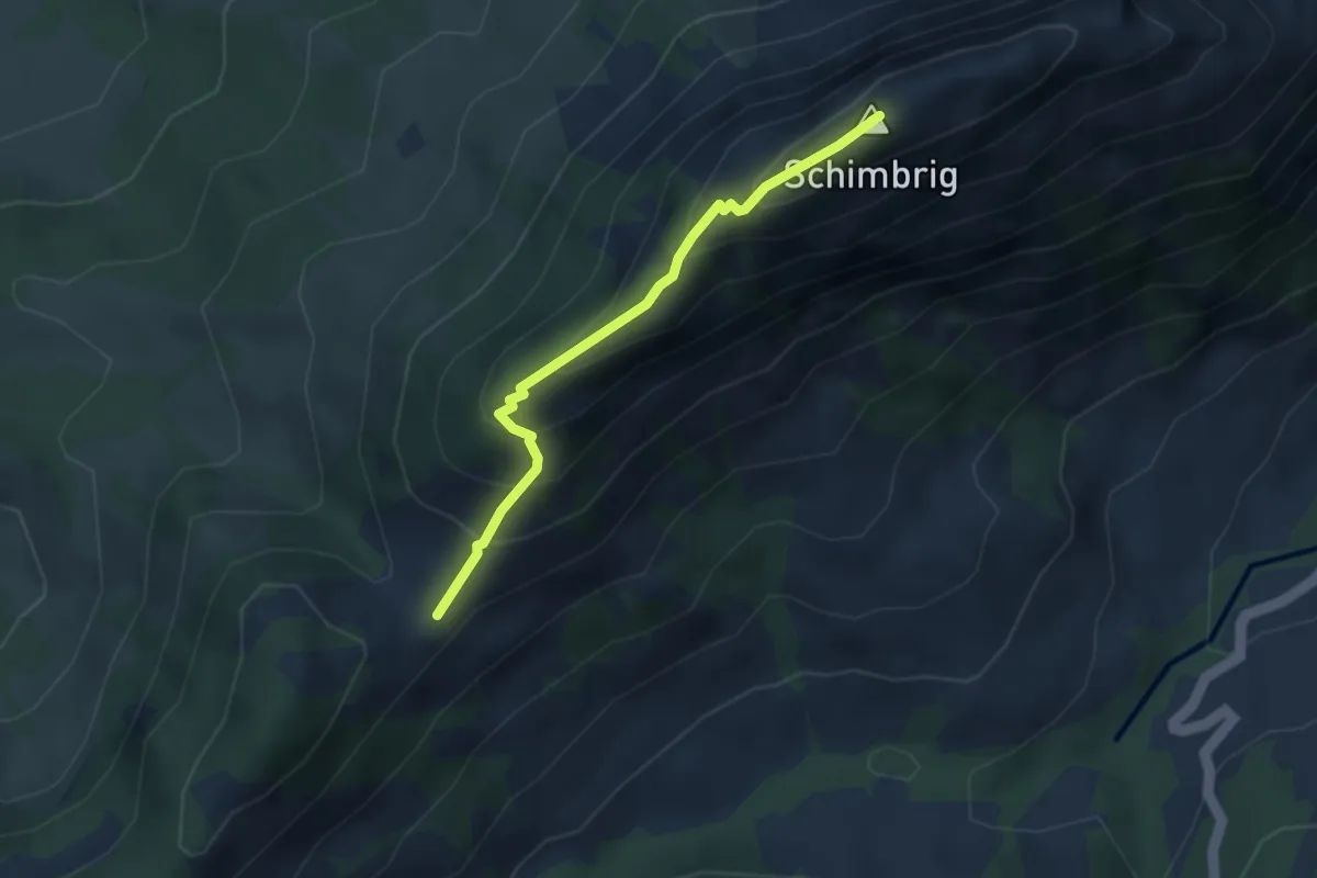
Medium · Summit
Schimbrig Bad - Ob. Looegg
3.1 km · ↑ 296 m · 1 h 23 min · 12 km away
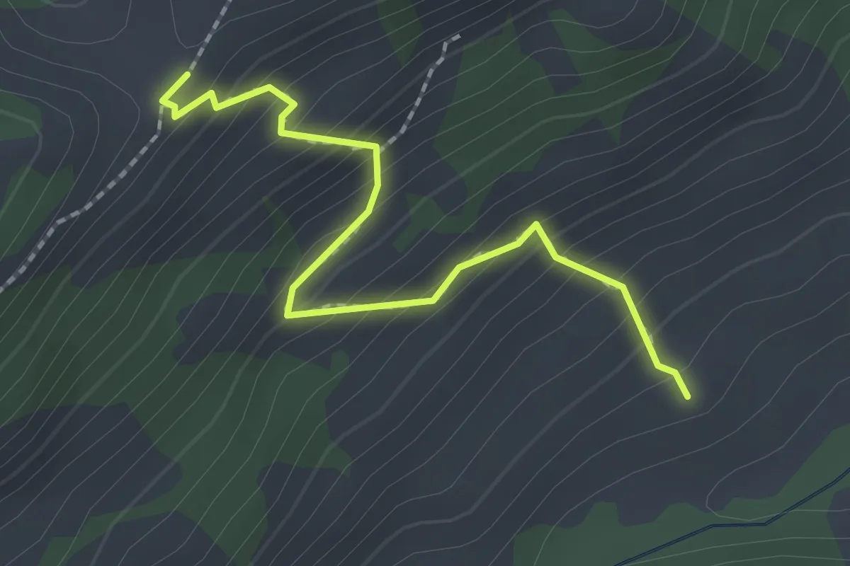
Easy · Trail
Ob. Looegg - fixme
2.1 km · ↑ 228 m · 59 min · 12 km away
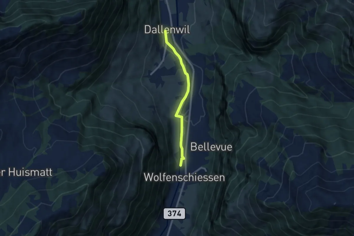
Easy · Trail
Dallenwil – Wolfenschiessen
5.7 km · ↑ 28 m · 1 h 25 min · 12 km away
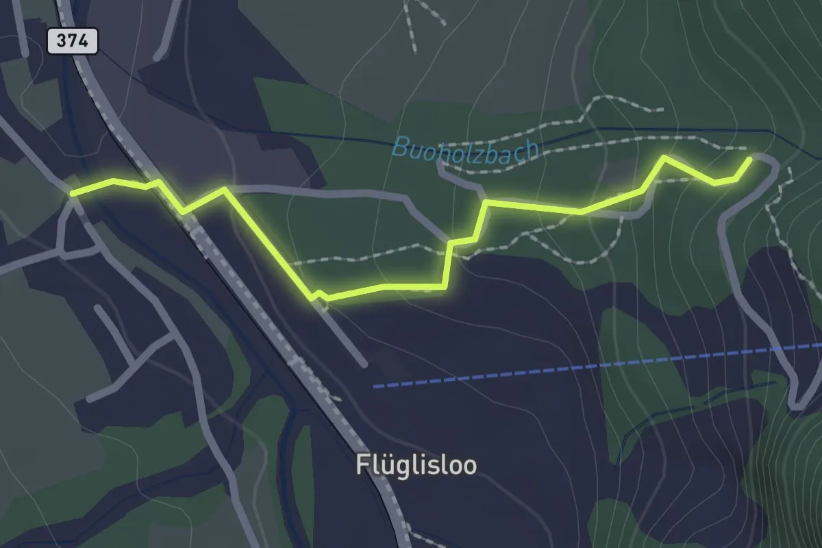
Easy · Trail
- Niederrickenbach
2.0 km · ↑ 103 m · 41 min · 12 km away
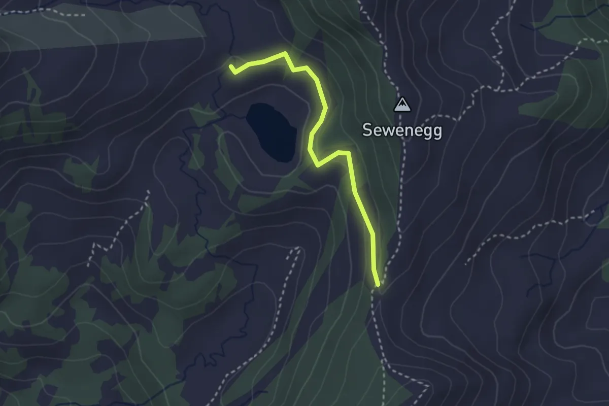
Easy · Trail
Seewenegg – Ober Sewen
2.5 km · ↑ 109 m · 50 min · 12 km away
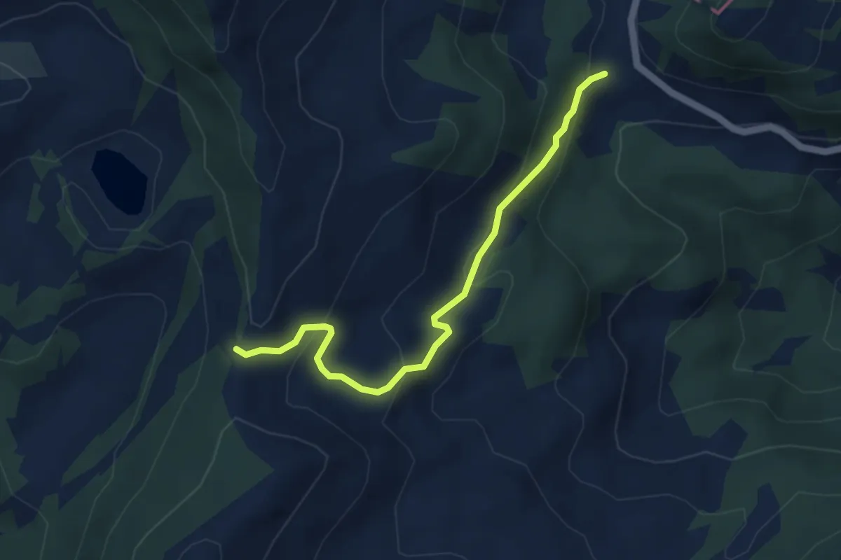
Easy · Trail
Glaubenberg – Seewenegg
4.0 km · ↑ 221 m · 1 h 26 min · 12 km away
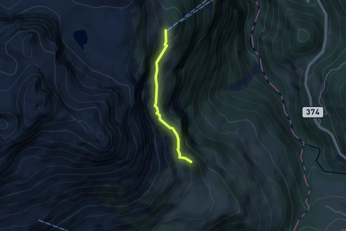
Easy · Cabin
Zingel – Stalden
2.8 km · ↑ 262 m · 1 h 13 min · 12 km away
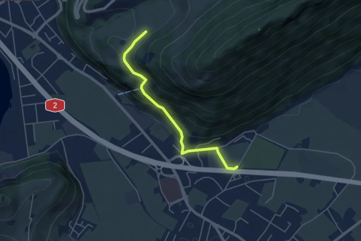
Easy · Trail
fixme - fixme
3.8 km · ↑ 220 m · 1 h 23 min · 12 km away
Easy · Trail
Gantersei - Unterlauelen
3.9 km · ↑ 83 m · 1 h 7 min · 12 km away
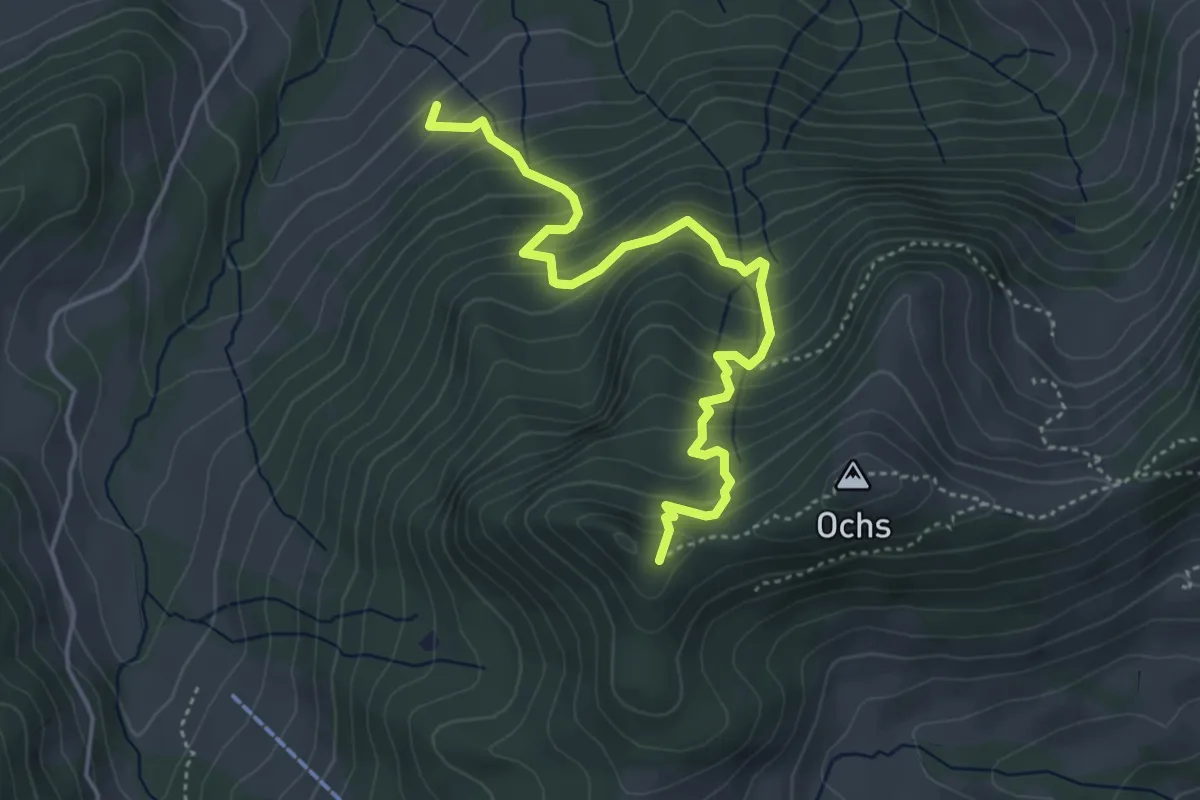
Medium · Trail
Grünenwald – Hüenerhubel
4.6 km · ↑ 464 m · 2 h 6 min · 12 km away