Trails near Schwyz
546 hikes starting within 15 km, nearest first.
Nearest first, page 11 of 12
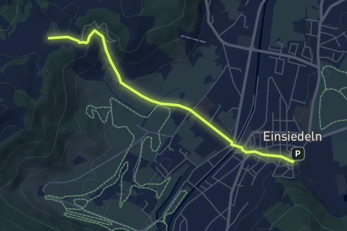
Easy · Trail
Einsiedeln - Chatzenstrick
5.6 km · ↑ 209 m · 1 h 47 min · 14 km away
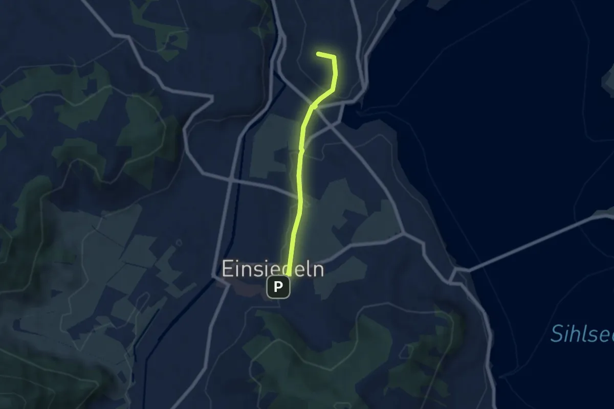
Easy · Summit
Kloster Einsiedeln - Galgenchappeli
4.6 km · ↑ 72 m · 1 h 14 min · 14 km away
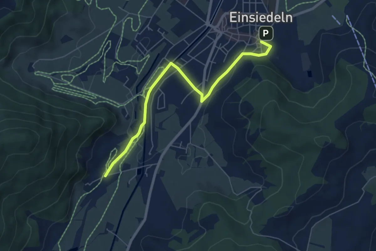
Easy · Trail
Kloster Einsiedeln - Kloster Au
5.8 km · ↑ 63 m · 1 h 30 min · 14 km away
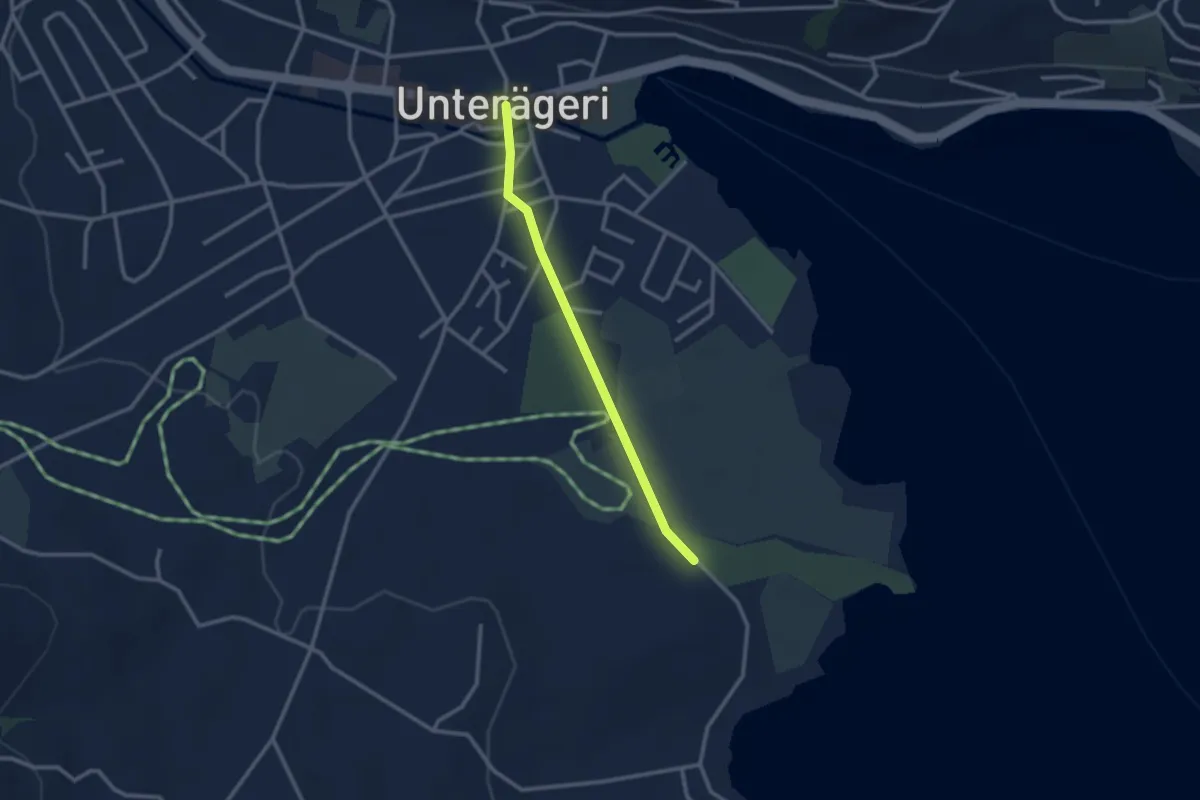
Easy · Trail
Campingplatz – Dorfplatz
2.4 km · ↑ 0 m · 34 min · 14 km away
Easy · Trail
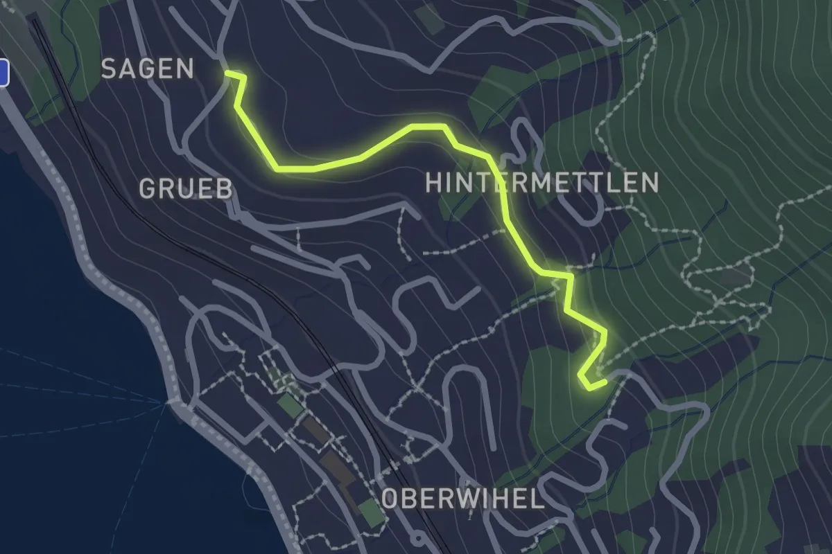
Ausseregg - Oberdorf - fixme
2.0 km · ↑ 43 m · 34 min · 14 km away
Easy · Trail
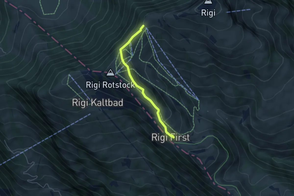
Rigi Staffel – Rigi First
3.7 km · ↑ 186 m · 1 h 17 min · 14 km away
Demanding · Trail
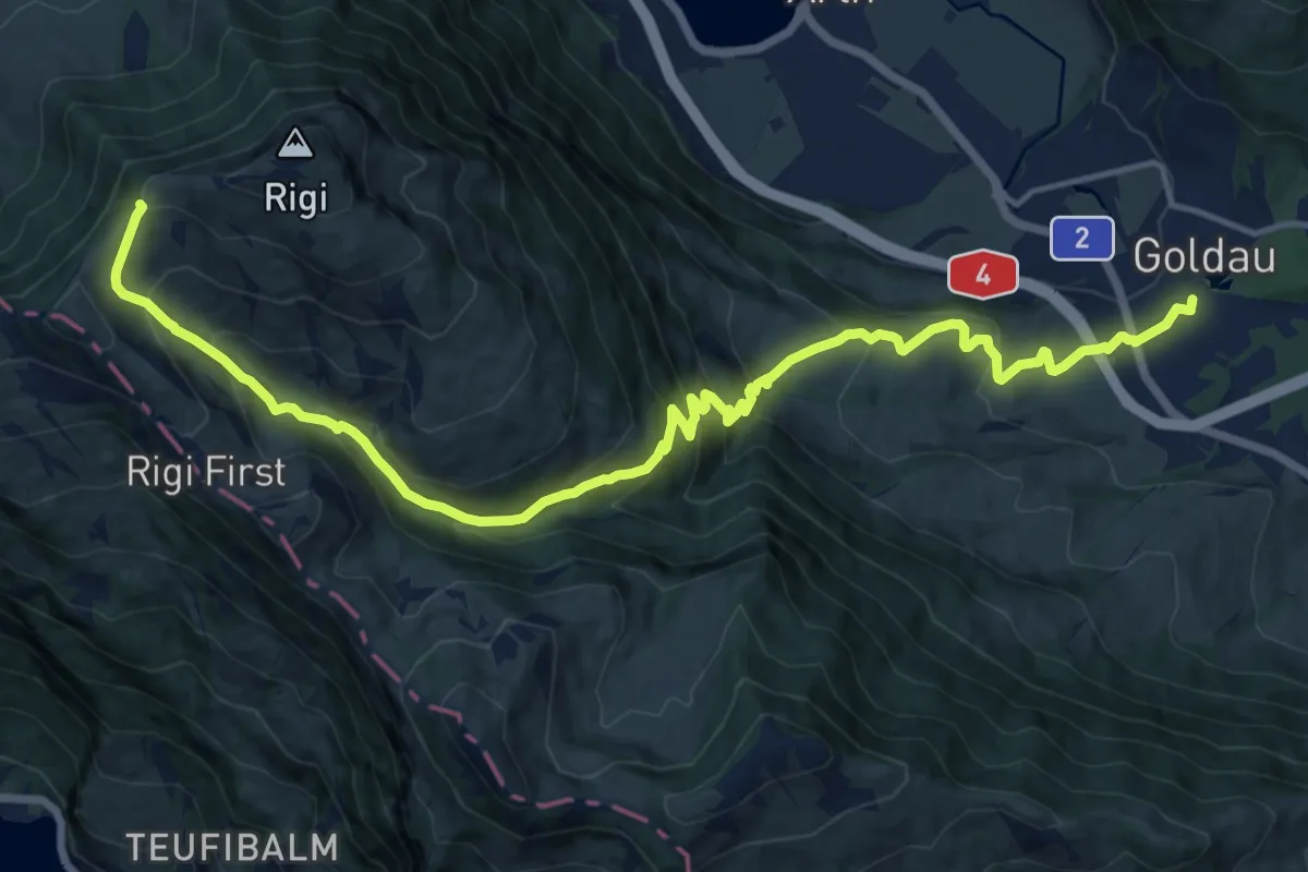
Schwyzer Höhenweg - Etappe 2
17.8 km · ↑ 1122 m · 6 h 38 min · 14 km away
Easy · Summit
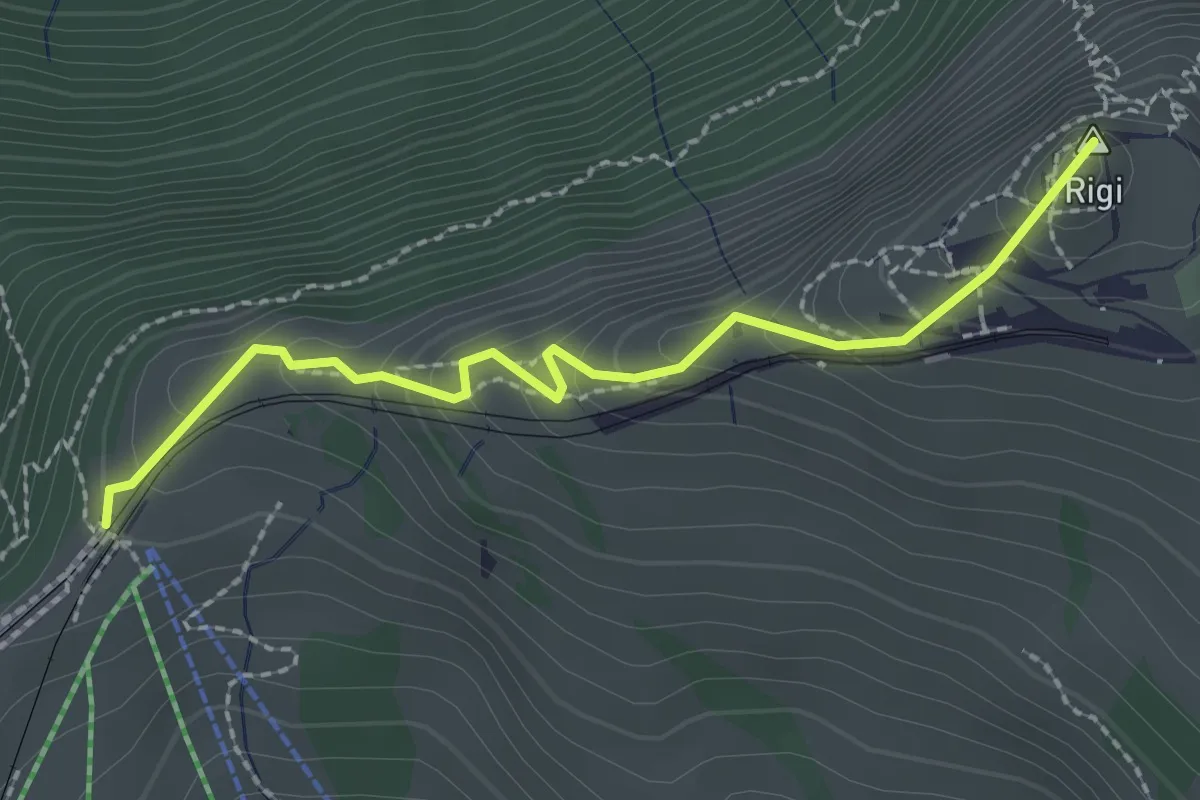
Rigi Staffel – Rigi Kulm
2.3 km · ↑ 160 m · 53 min · 14 km away
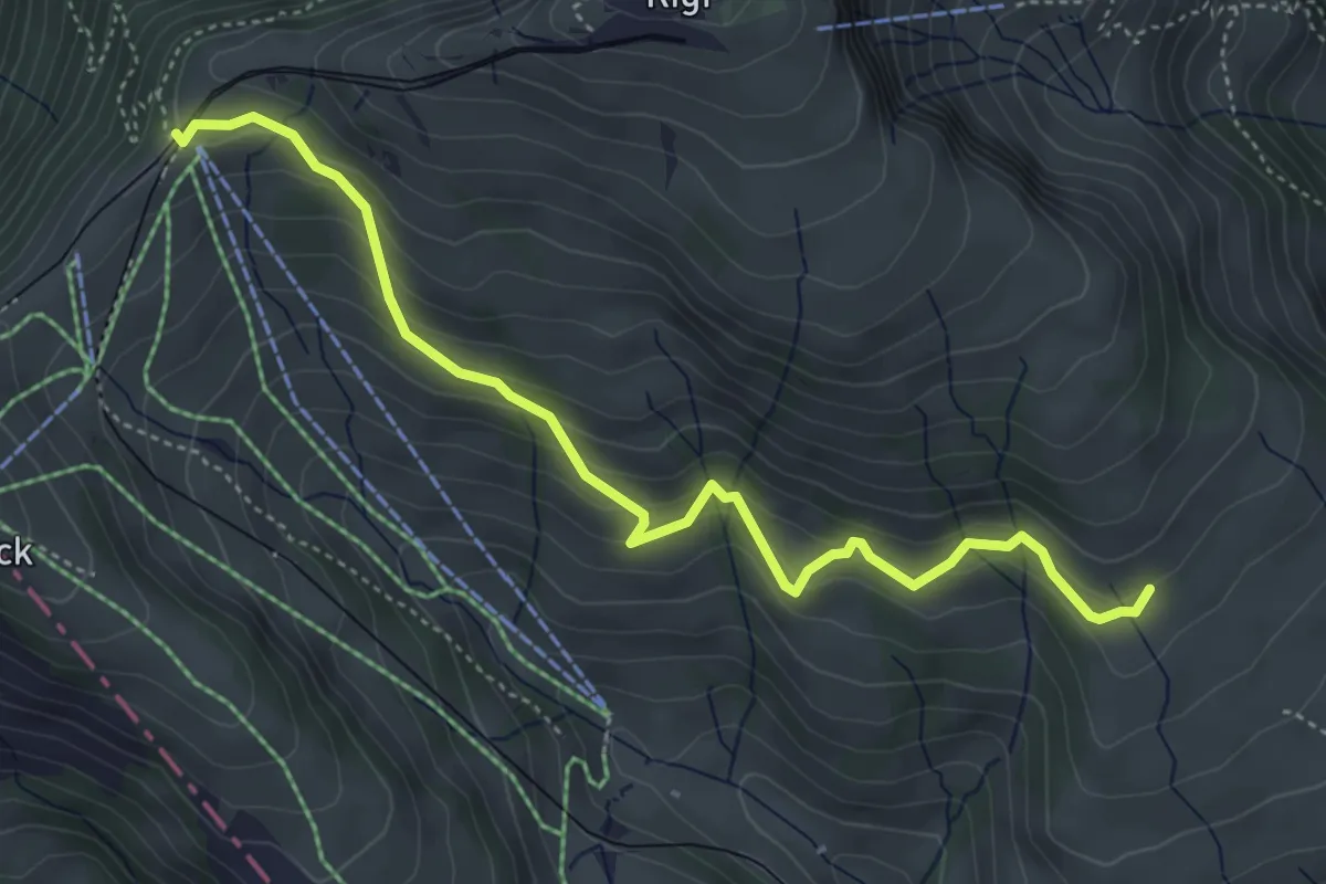
Medium · Trail
Schwändi – Rigi Staffel
4.8 km · ↑ 349 m · 1 h 54 min · 14 km away
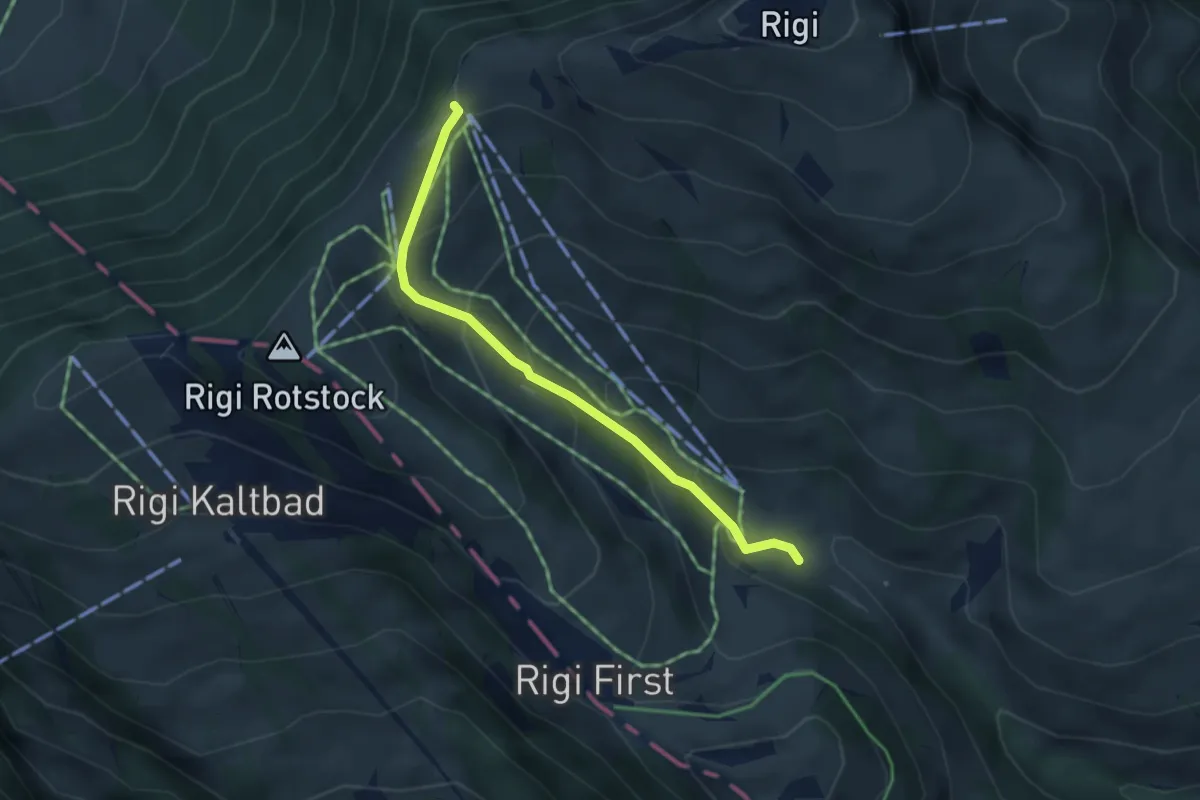
Easy · Trail
Rigi-Staffel – Rigi Klösterli
3.5 km · ↑ 265 m · 1 h 24 min · 14 km away
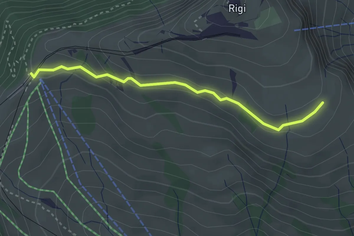
Medium · Trail
Kulmhutte-Rigi Staffel
2.7 km · ↑ 93 m · 51 min · 14 km away
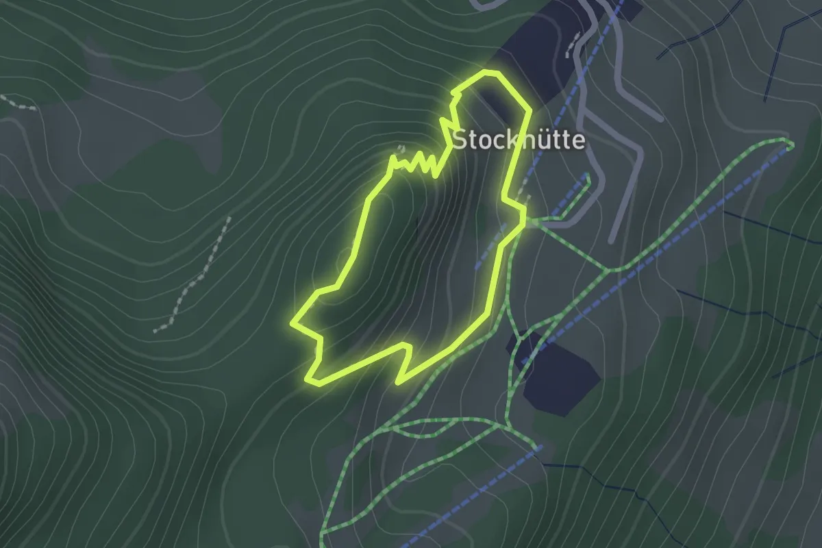
Easy · Trail
Atupri Trail
1.5 km · ↑ 103 m · 37 min · 14 km away
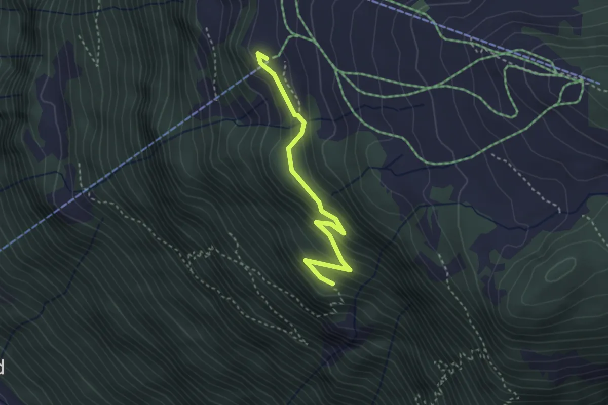
Medium · Trail
Bergstation – Rot Flue
3.0 km · ↑ 190 m · 1 h 7 min · 14 km away
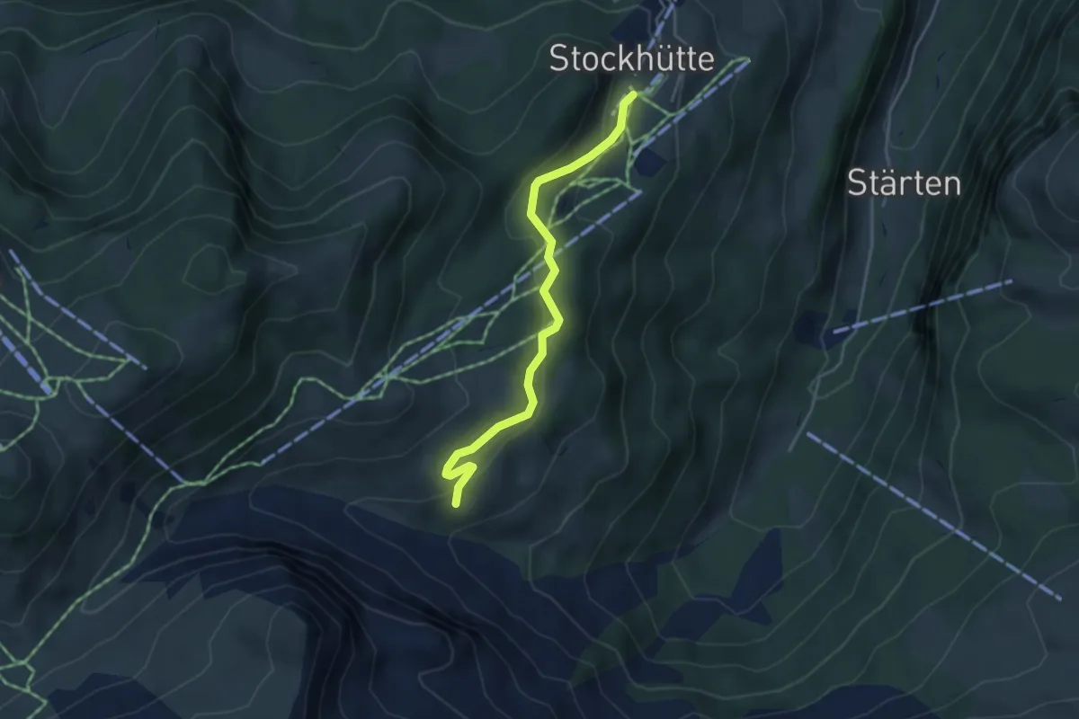
Easy · Trail
Stockhütte - Lochhütte
3.8 km · ↑ 164 m · 1 h 15 min · 14 km away
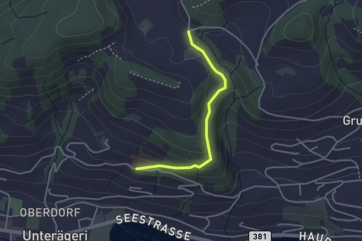
Easy · Trail
Klinik Adelheid - Hinterwiden
2.6 km · ↑ 120 m · 53 min · 14 km away
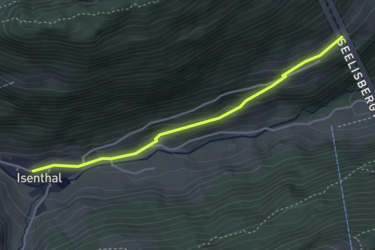
Easy · Trail
Hinter Bärchi – Isenthal
3.4 km · ↑ 137 m · 1 h 6 min · 14 km away
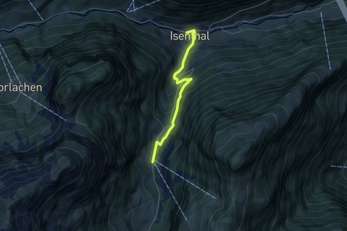
Easy · Trail
Gietisflue Talstation – Isenthal
3.9 km · ↑ 272 m · 1 h 31 min · 14 km away
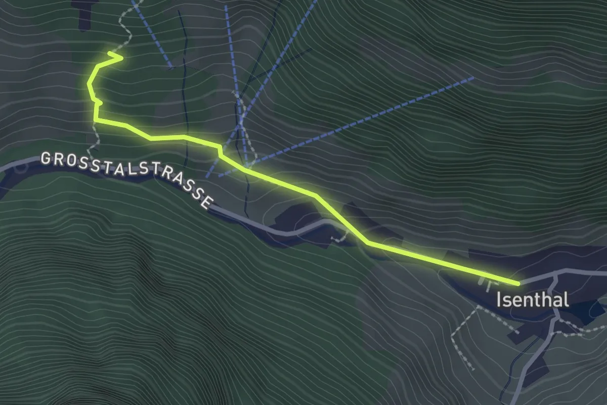
Demanding · Trail
Isenthal – Stalden
2.3 km · ↑ 169 m · 55 min · 14 km away
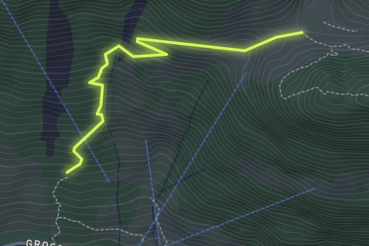
Demanding · Trail
Stalden – Furggelen
2.6 km · ↑ 312 m · 1 h 18 min · 14 km away
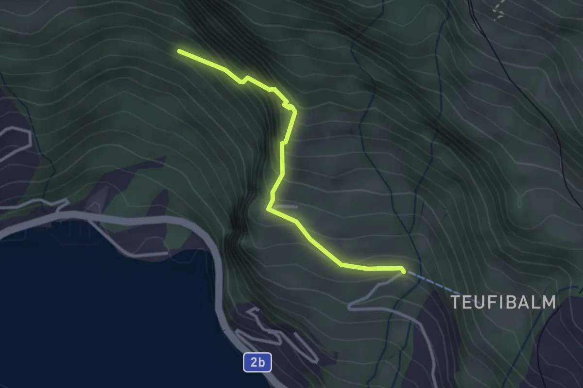
Medium · Trail
Orefad – Langwilen
2.7 km · ↑ 329 m · 1 h 21 min · 14 km away
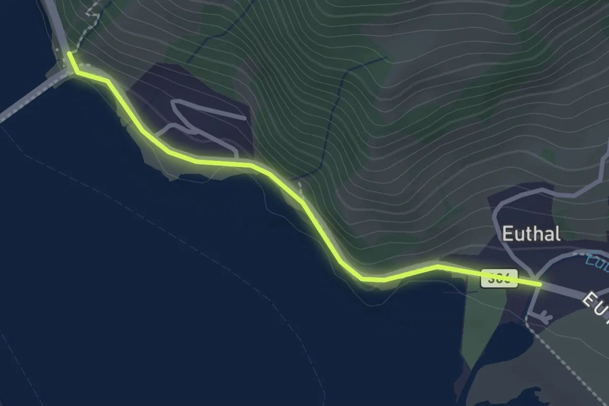
Easy · Trail
Ruestel – Euthal
2.4 km · ↑ 38 m · 38 min · 14 km away
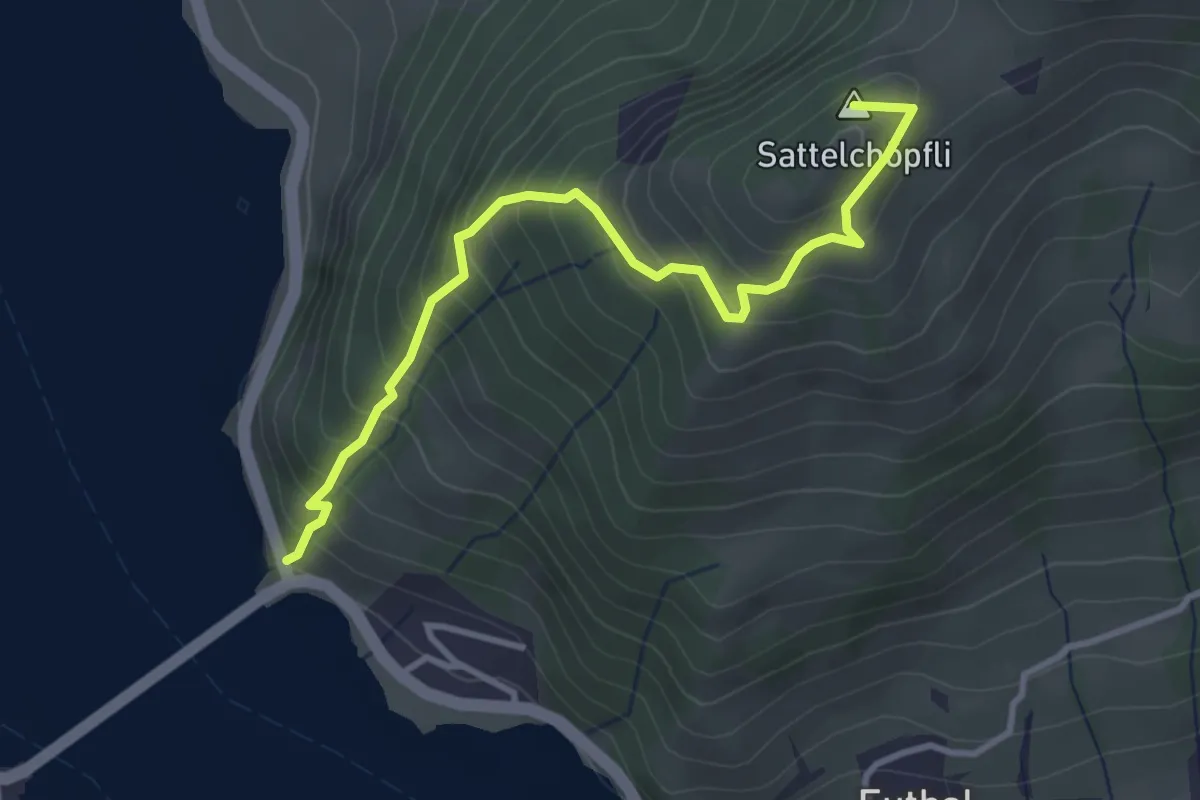
Medium · Summit
Ruestel – Chrähwäldli
3.6 km · ↑ 428 m · 1 h 46 min · 14 km away
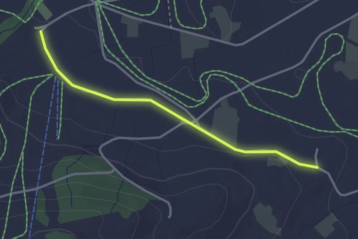
Easy · Trail
Boden – Wissenschwändi
2.6 km · ↑ 27 m · 40 min · 14 km away
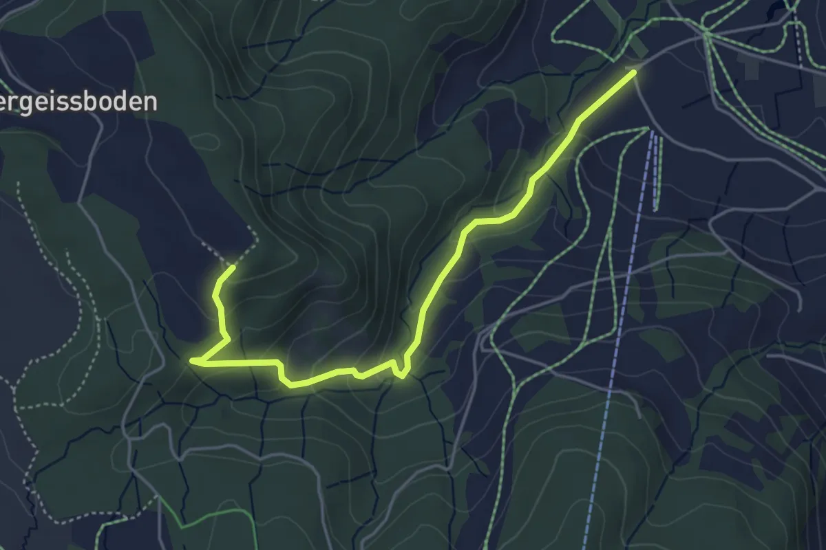
Easy · Trail
Räbrüti – Boden
4.7 km · ↑ 241 m · 1 h 38 min · 14 km away
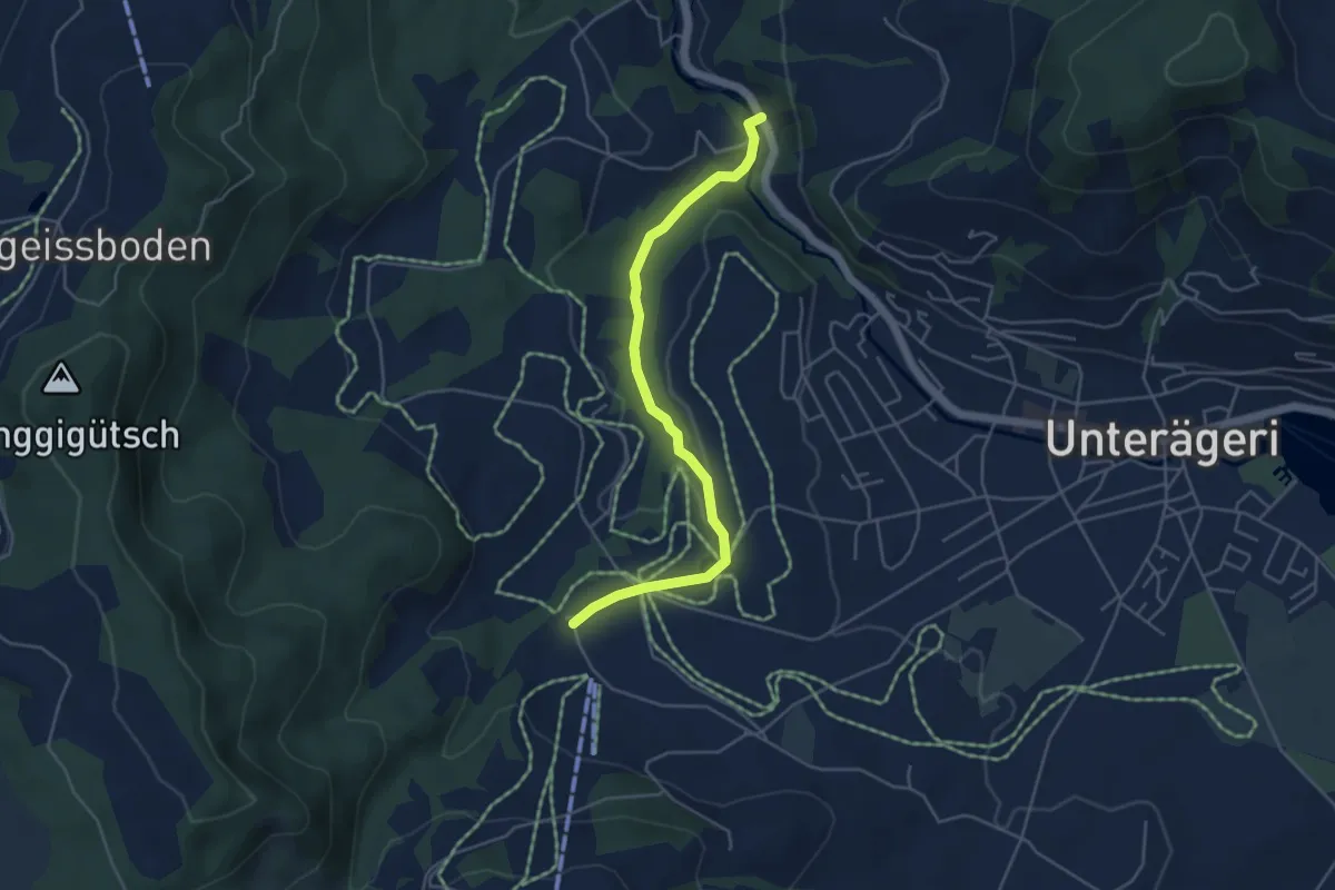
Easy · Trail
Mülischwändi Brücke - Boden
4.6 km · ↑ 48 m · 1 h 12 min · 14 km away
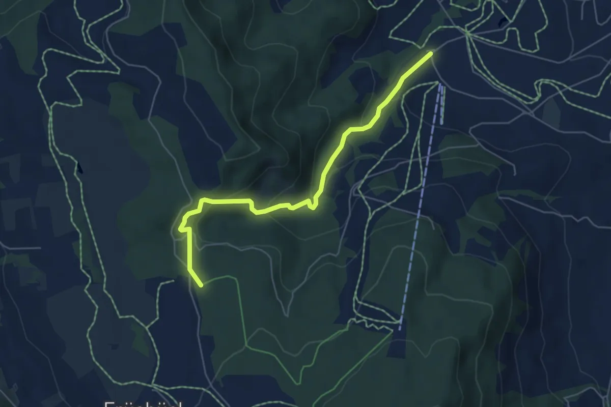
Easy · Trail
Fiselstuden – Boden
5.4 km · ↑ 220 m · 1 h 44 min · 14 km away
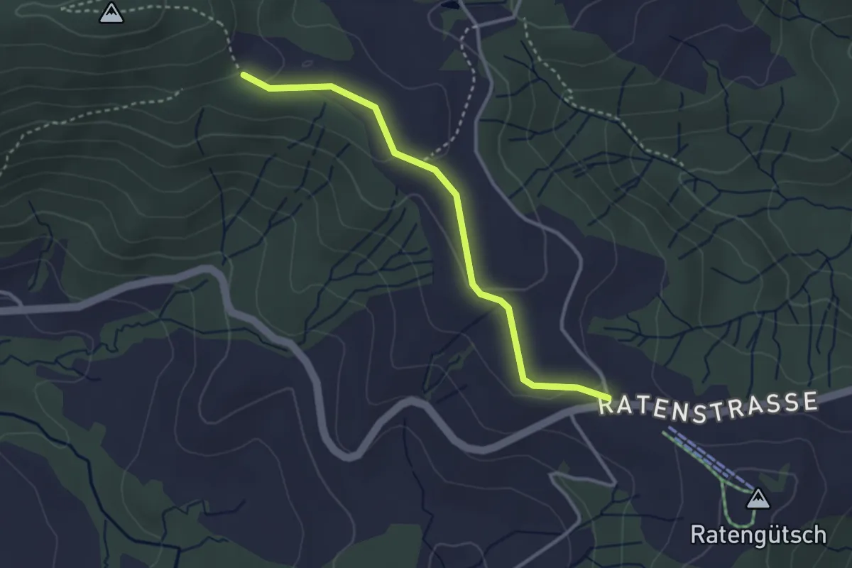
Easy · Trail
Raten – Abschwändi
3.0 km · ↑ 65 m · 52 min · 14 km away
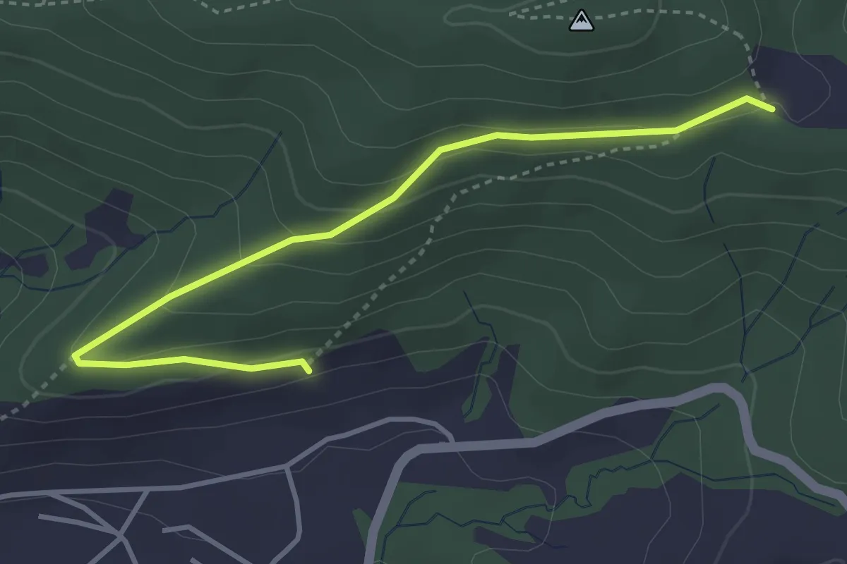
Easy · Trail
Gireggwald - Abschwändi
3.8 km · ↑ 159 m · 1 h 15 min · 14 km away
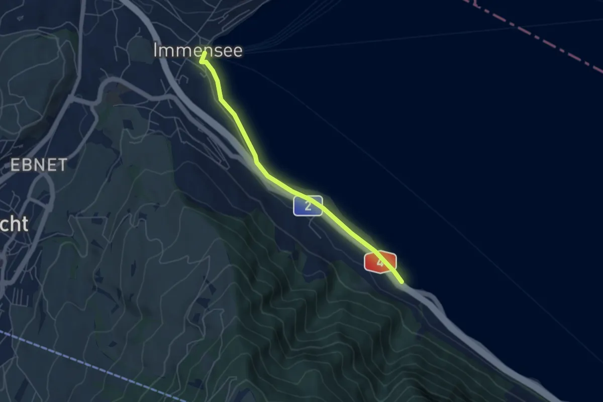
Easy · Trail
Immensee – Fischchratten
5.3 km · ↑ 58 m · 1 h 22 min · 14 km away
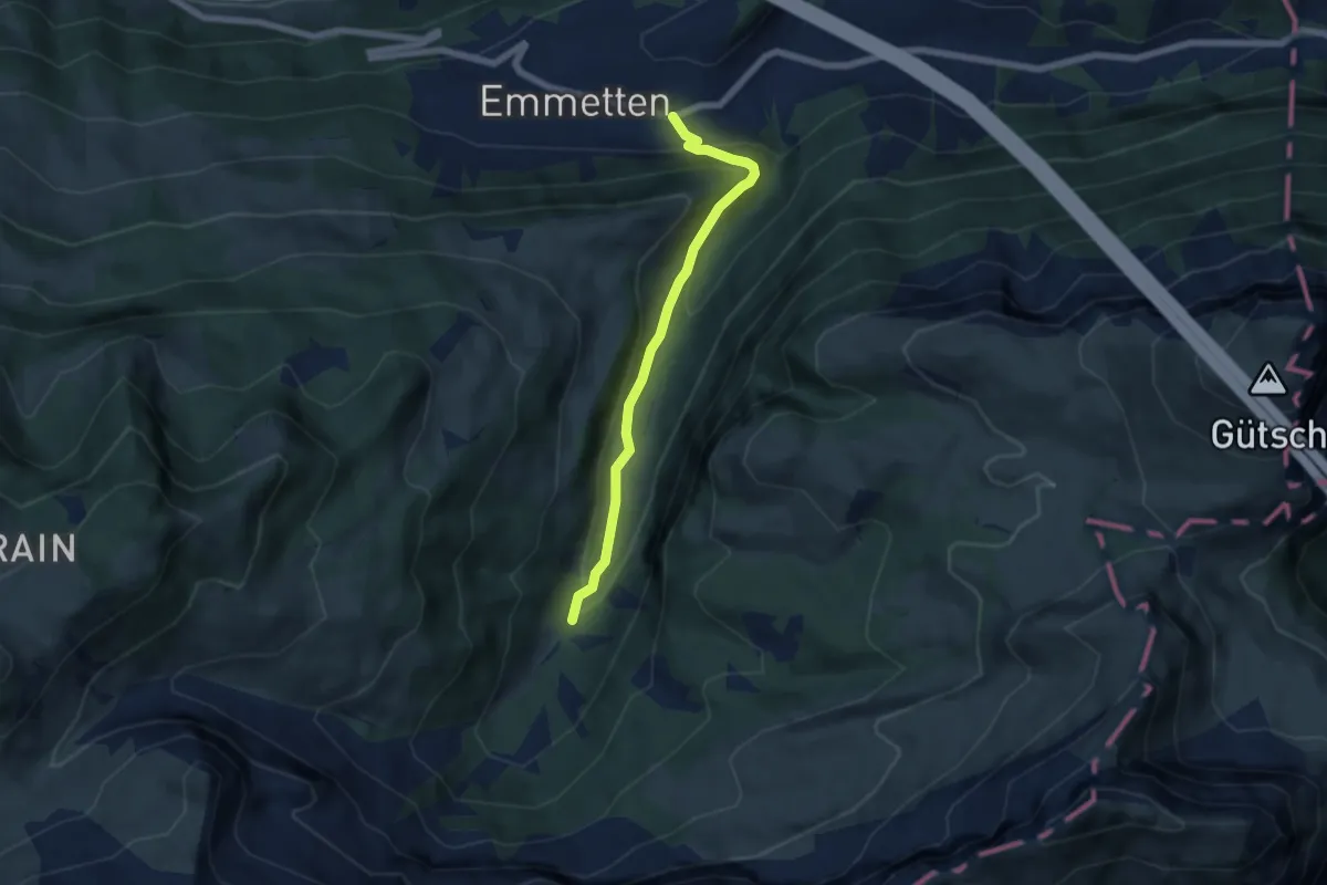
Medium · Trail
Cholstrasse - Emmetten
5.7 km · ↑ 371 m · 2 h 9 min · 14 km away
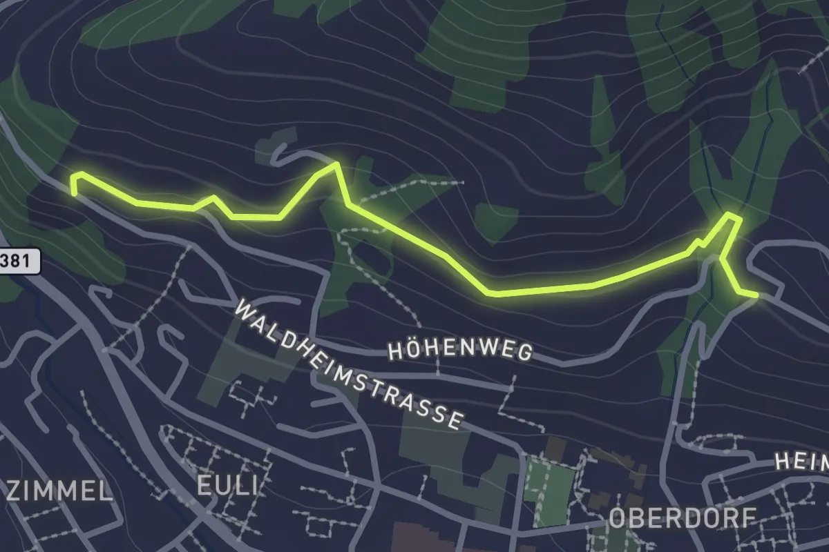
Easy · Trail
Heimhusen - Waldheim
2.6 km · ↑ 78 m · 48 min · 14 km away
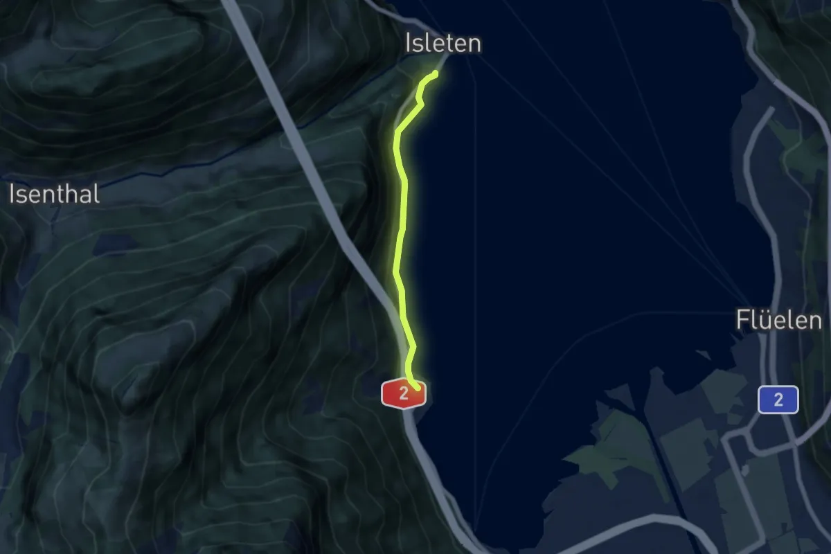
Easy · Trail
Bolzbach – Isleten
4.5 km · ↑ 105 m · 1 h 18 min · 14 km away
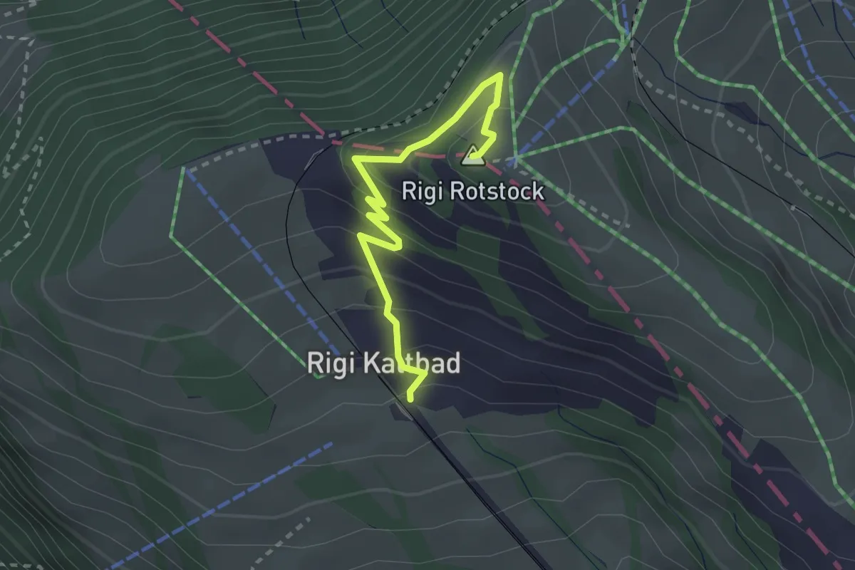
Medium · Summit
Rigi Kaltbad – Rotstock
2.5 km · ↑ 185 m · 1 h · 14 km away
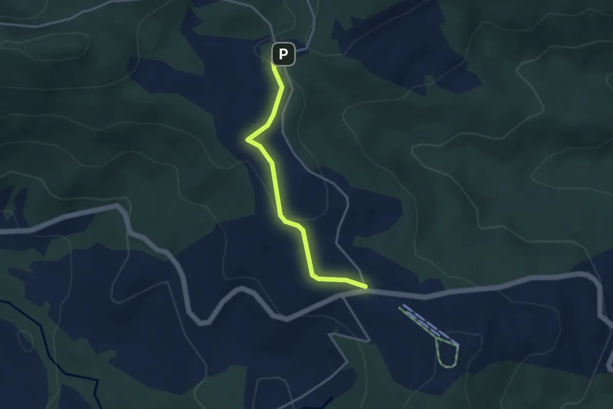
Easy · Trail
Raten – Chlausenchappeli
2.8 km · ↑ 63 m · 48 min · 14 km away
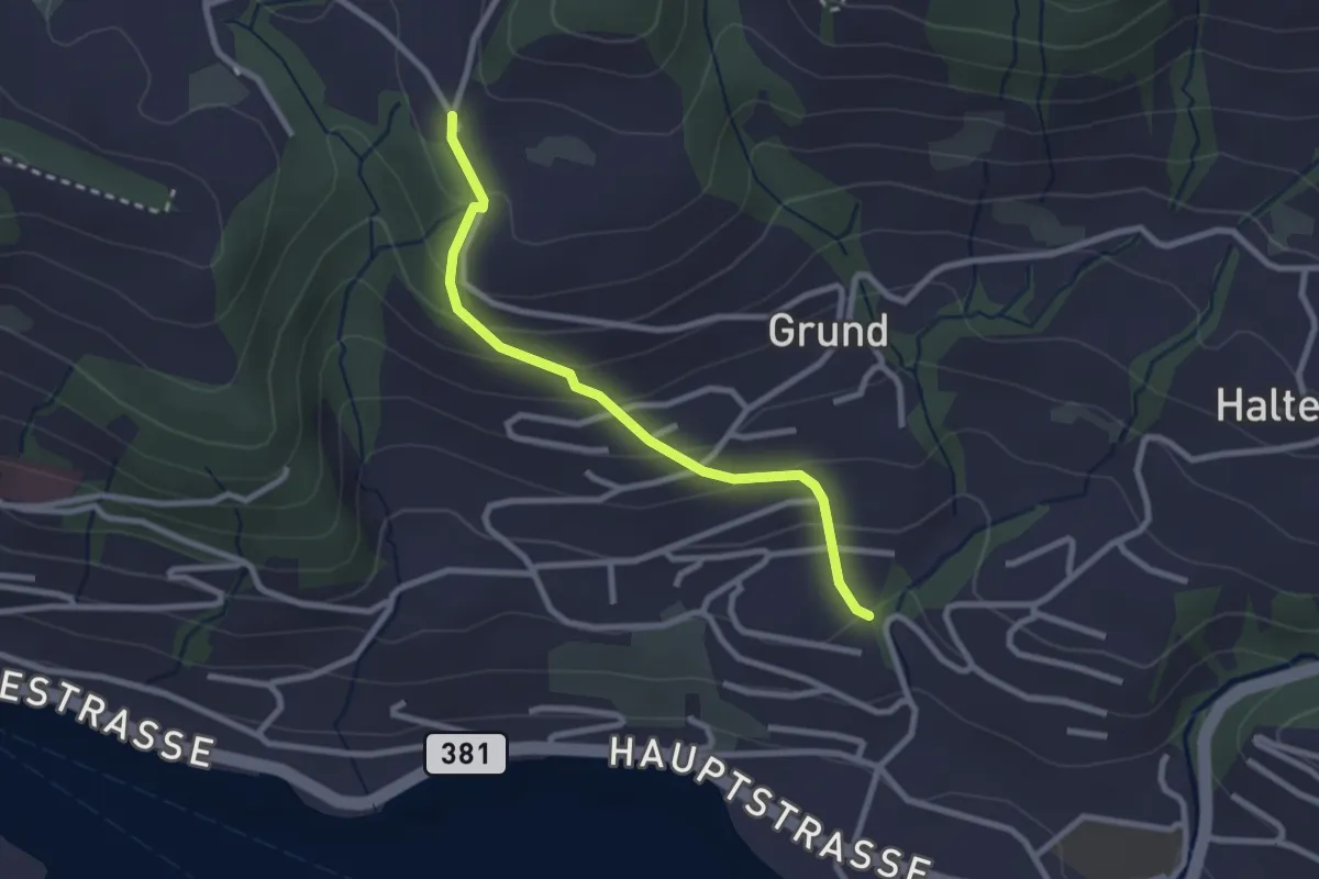
Easy · Trail
Hinterschneit - Gruben
2.5 km · ↑ 154 m · 55 min · 15 km away
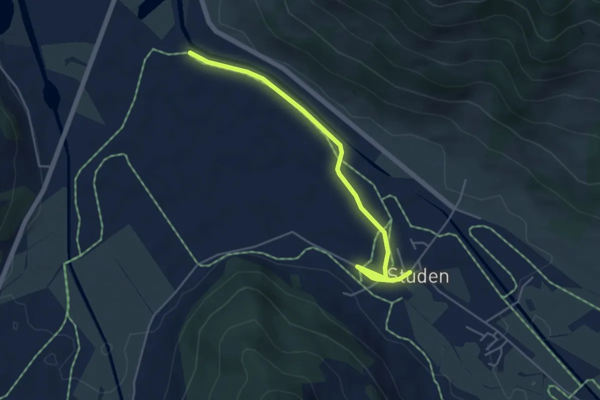
Easy · Trail
Studen - Breitried
4.1 km · ↑ 0 m · 59 min · 15 km away
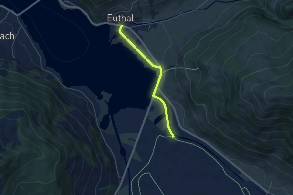
Easy · Trail
Euthal - Breitried
3.8 km · ↑ 32 m · 57 min · 15 km away
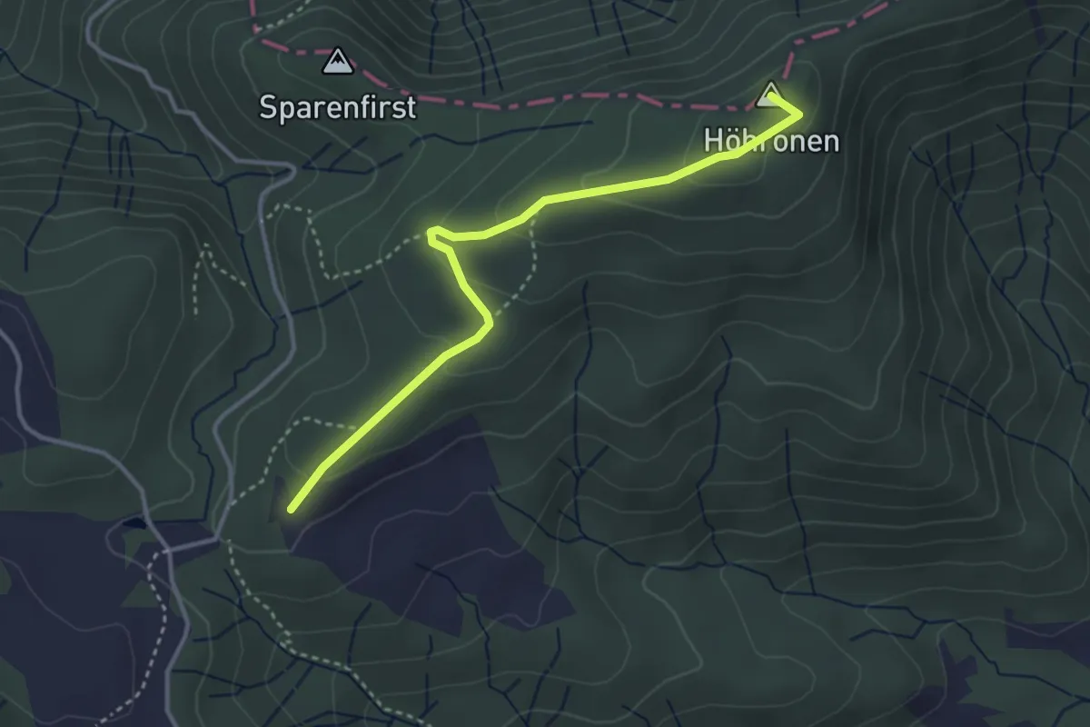
Easy · Summit
Höhboden – Langenegg
3.5 km · ↑ 125 m · 1 h 5 min · 15 km away
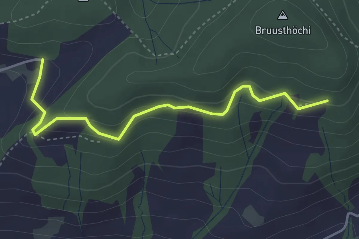
Medium · Trail
Bruustweid – Hintertann
3.4 km · ↑ 190 m · 1 h 13 min · 15 km away
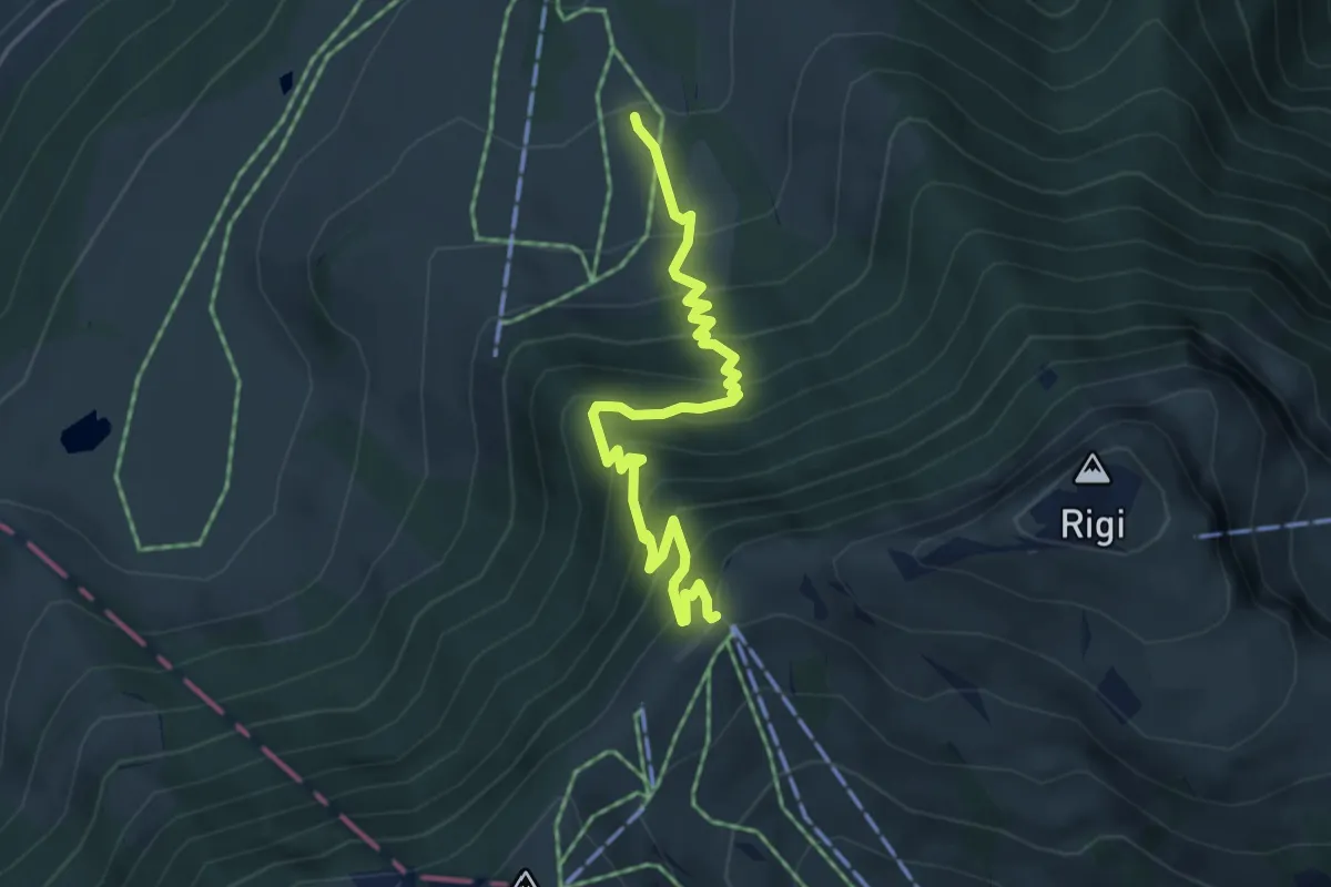
Medium · Trail
Holderen – Rigi Staffel
4.9 km · ↑ 513 m · 2 h 16 min · 15 km away
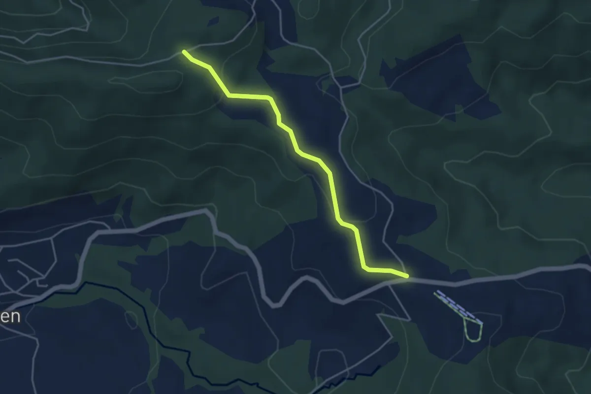
Easy · Trail
Charenboden – Raten
3.8 km · ↑ 100 m · 1 h 7 min · 15 km away
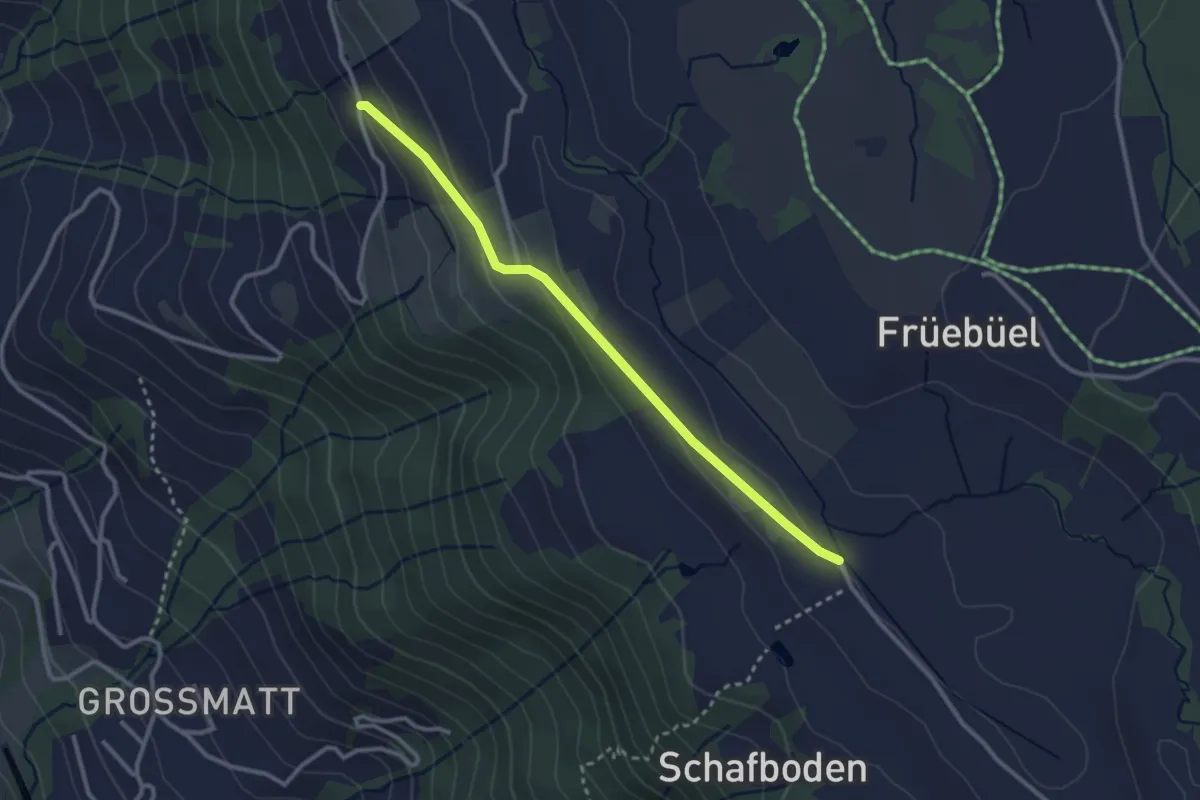
Easy · Trail
Balisbrugg - Tossetschwändi - fixme
2.8 km · ↑ 74 m · 50 min · 15 km away
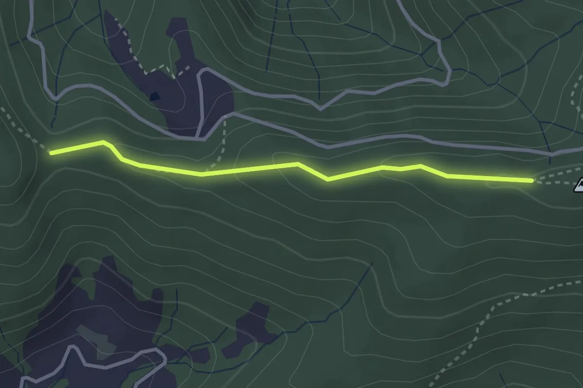
Medium · Trail
Muetegg – Mangelhöhe
2.7 km · ↑ 96 m · 50 min · 15 km away
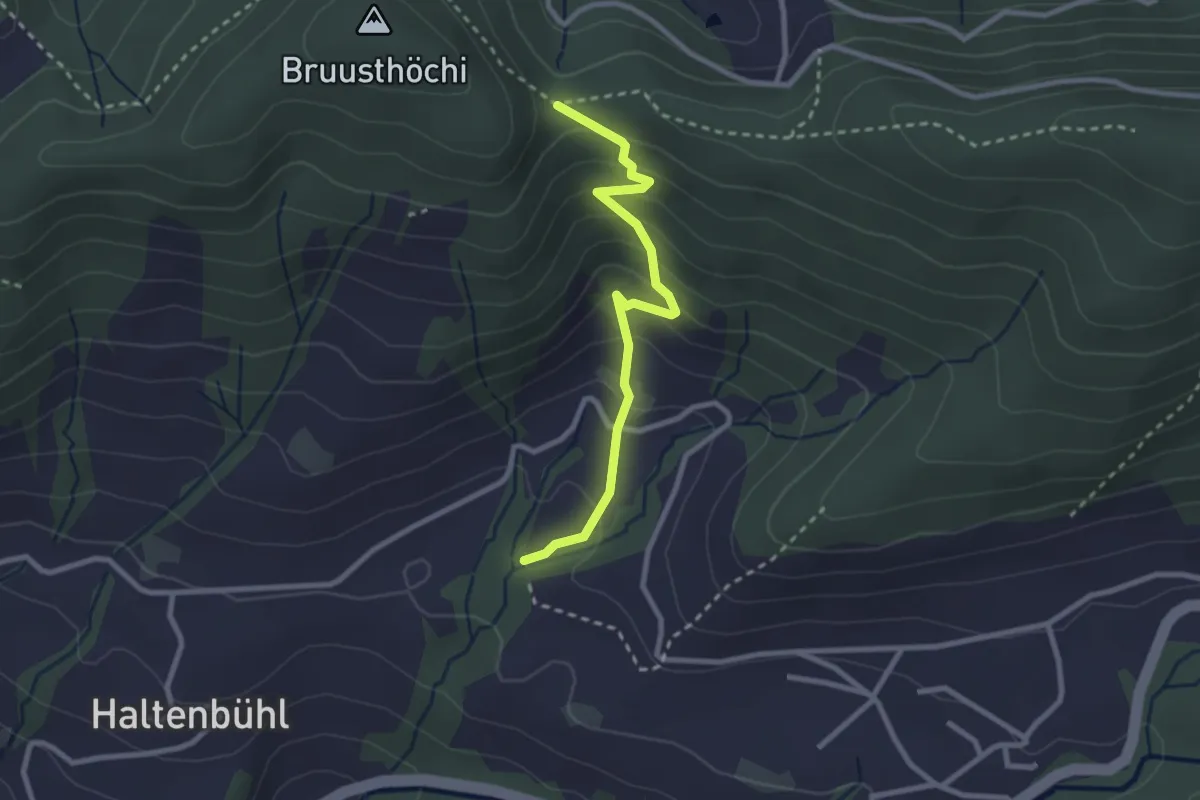
Easy · Trail
Mangelihöhe – Chefibach
2.6 km · ↑ 212 m · 1 h 4 min · 15 km away
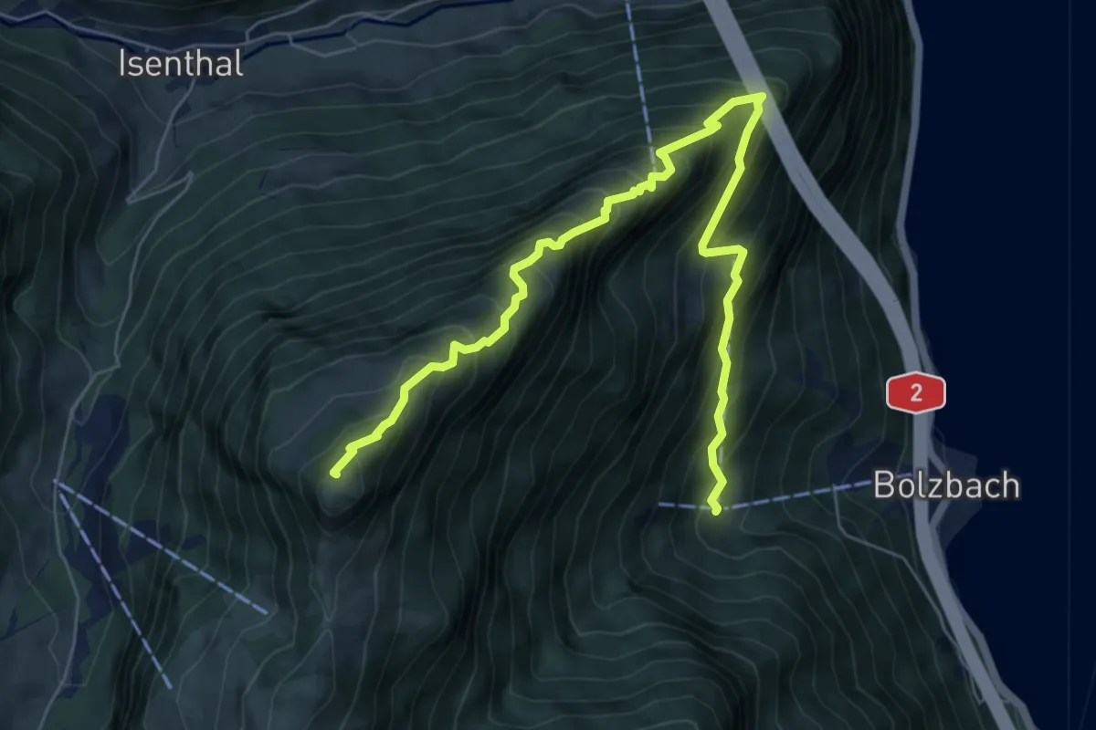
Demanding · Summit
Schartihöreli – Bodmi
7.6 km · ↑ 995 m · 3 h 57 min · 15 km away
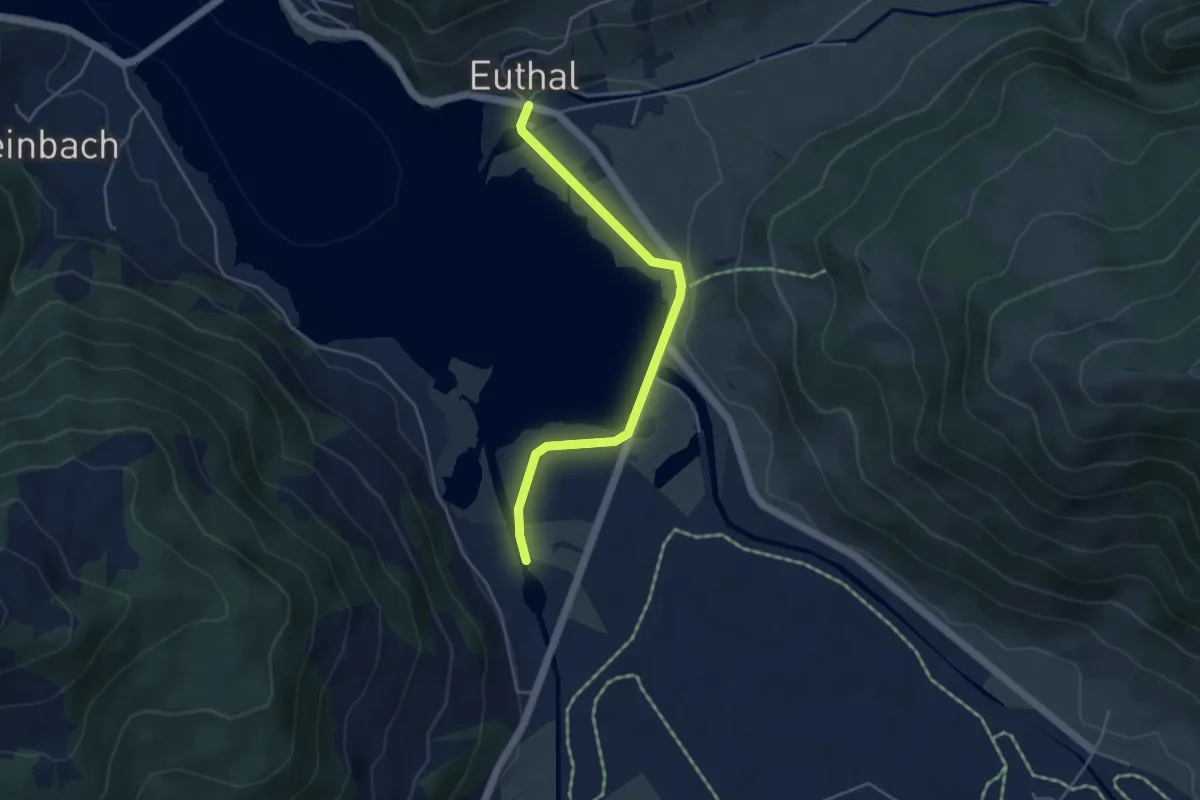
Easy · Trail
Euthal - Minsterbrücke
4.3 km · ↑ 23 m · 1 h 4 min · 15 km away
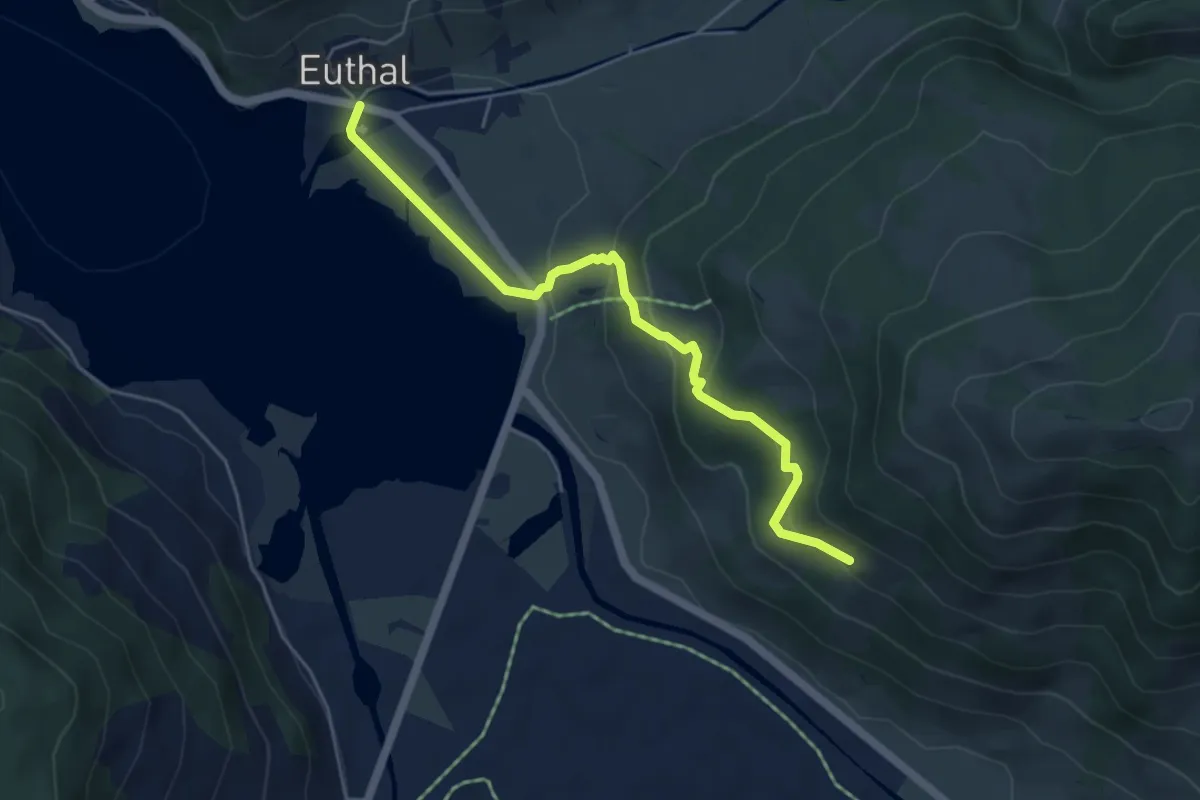
Easy · Trail
Euthal – Bergli
5.0 km · ↑ 277 m · 1 h 48 min · 15 km away
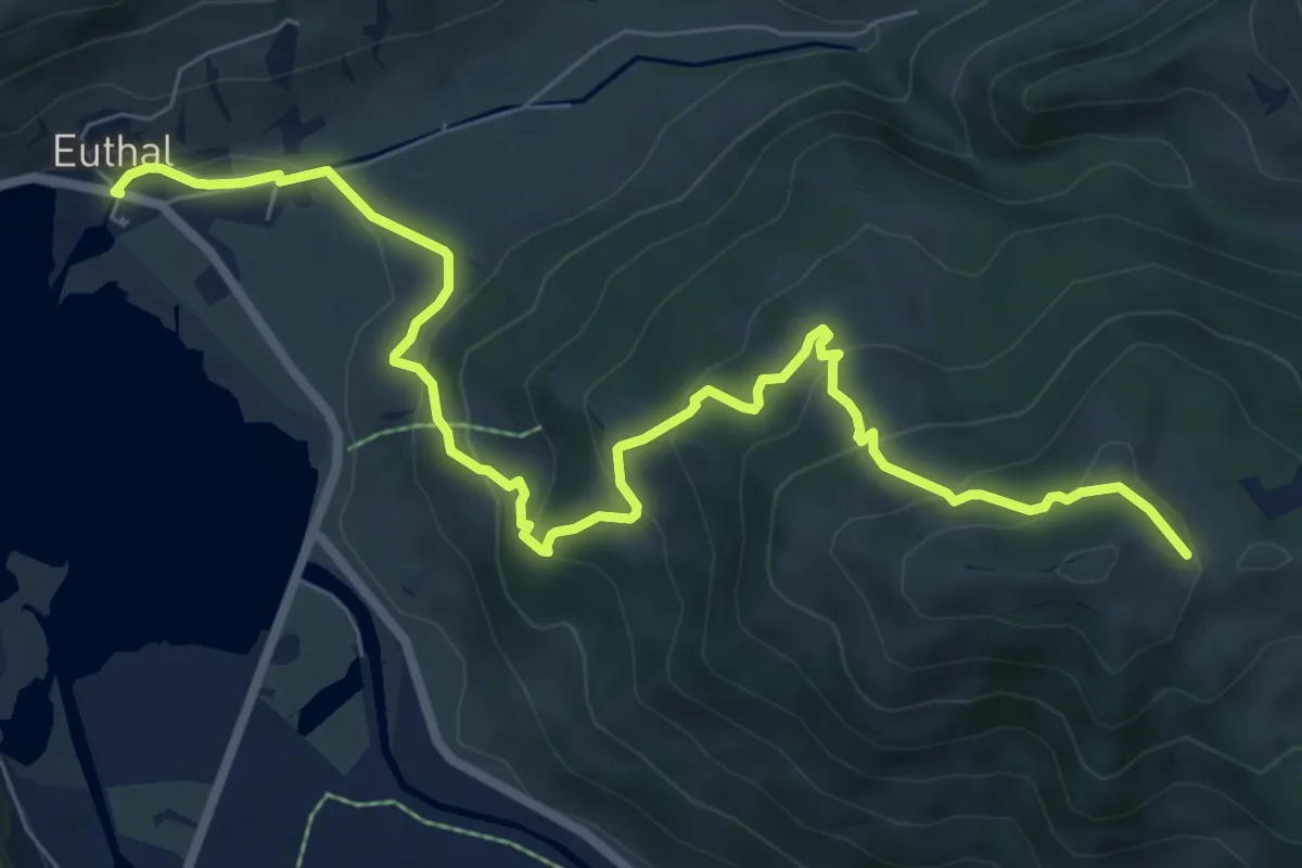
Medium · Trail
Euthal – Wisstannen (Vorder Wisstannenweid)
8.9 km · ↑ 505 m · 3 h 12 min · 15 km away