Trails near Schwyz
546 hikes starting within 15 km, nearest first.
Nearest first, page 12 of 12
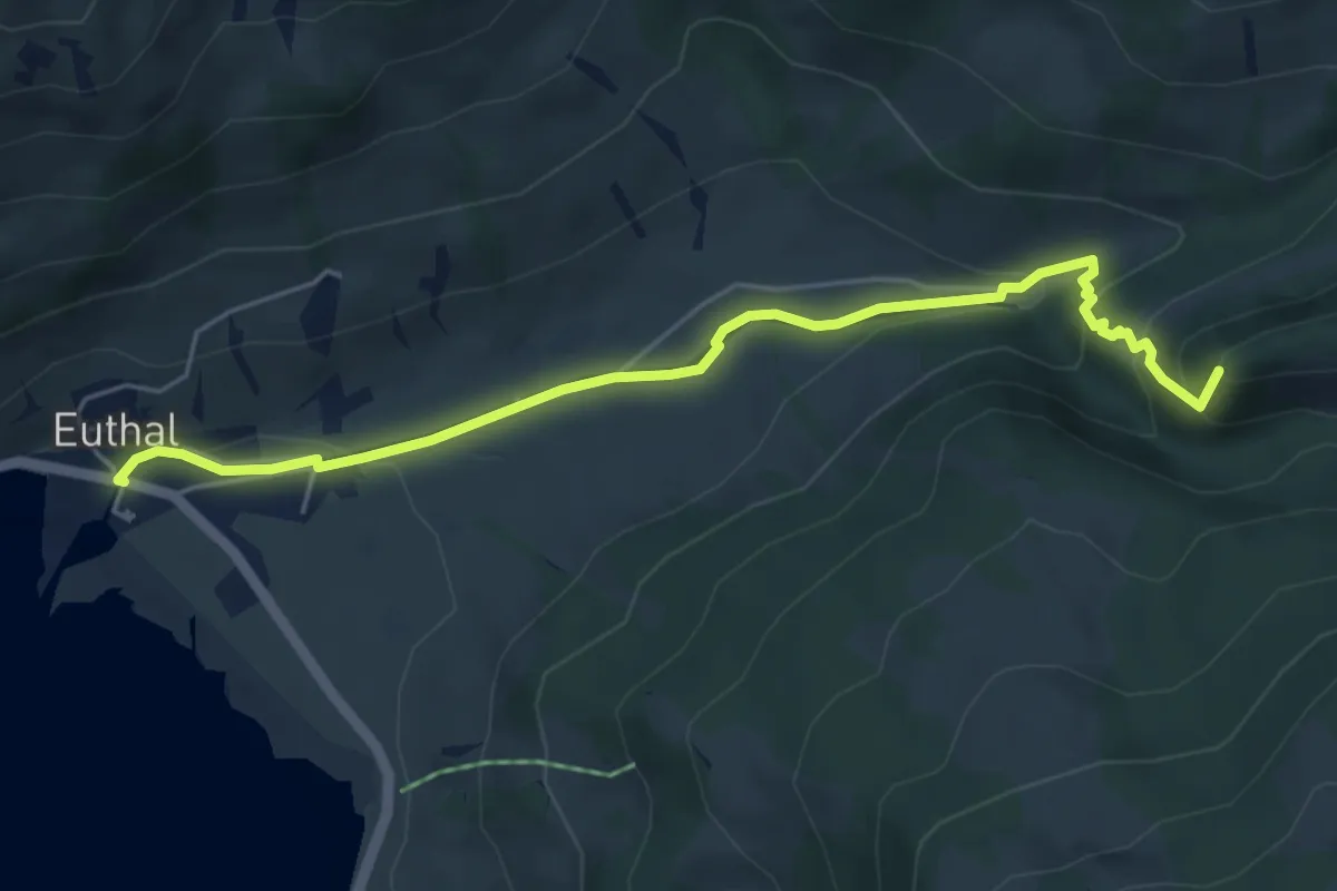
Easy · Summit
Euthal – vord. Chrumfluh
5.5 km · ↑ 233 m · 1 h 48 min · 15 km away
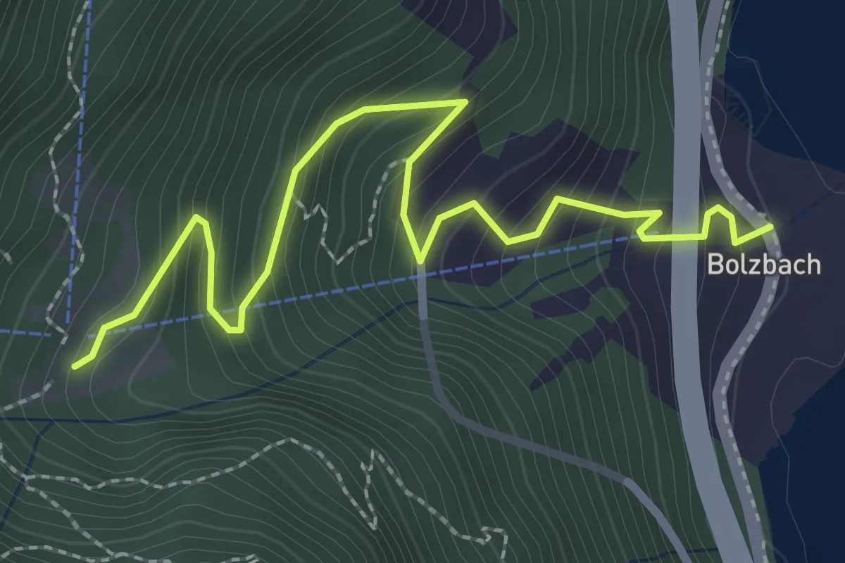
Easy · Trail
Bolzbach - Bödli
2.9 km · ↑ 280 m · 1 h 18 min · 15 km away
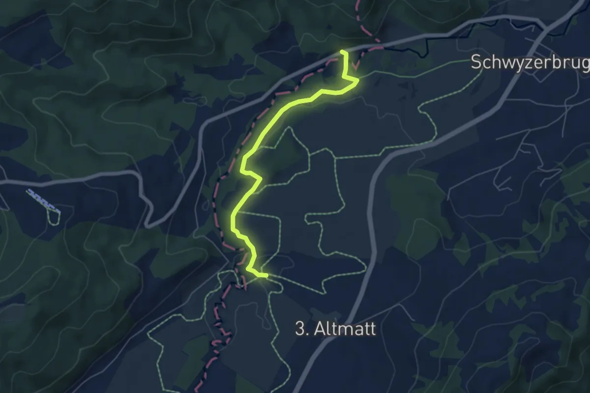
Easy · Trail
Bibersteg - Gutsch-Säge
5.3 km · ↑ 109 m · 1 h 30 min · 15 km away
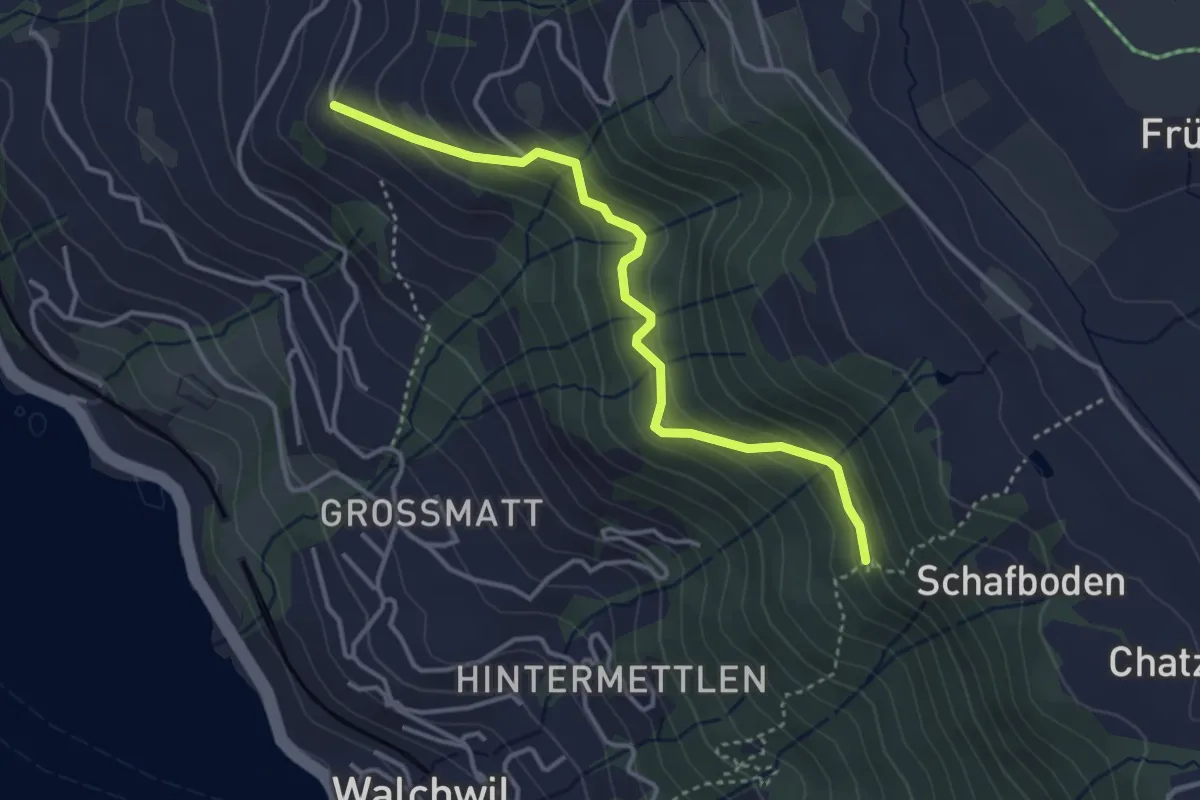
Easy · Trail
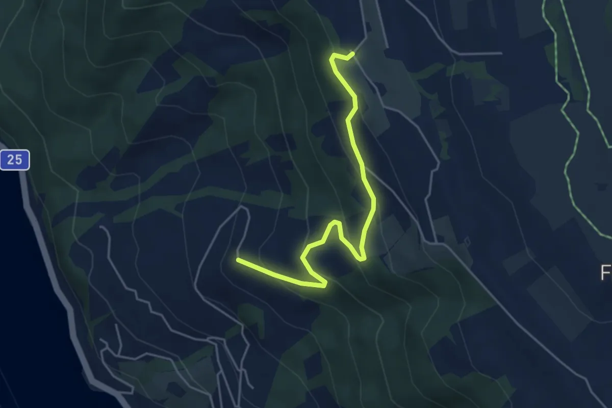
Herrenwald – Gibel
3.6 km · ↑ 281 m · 1 h 27 min · 15 km away
Easy · Trail
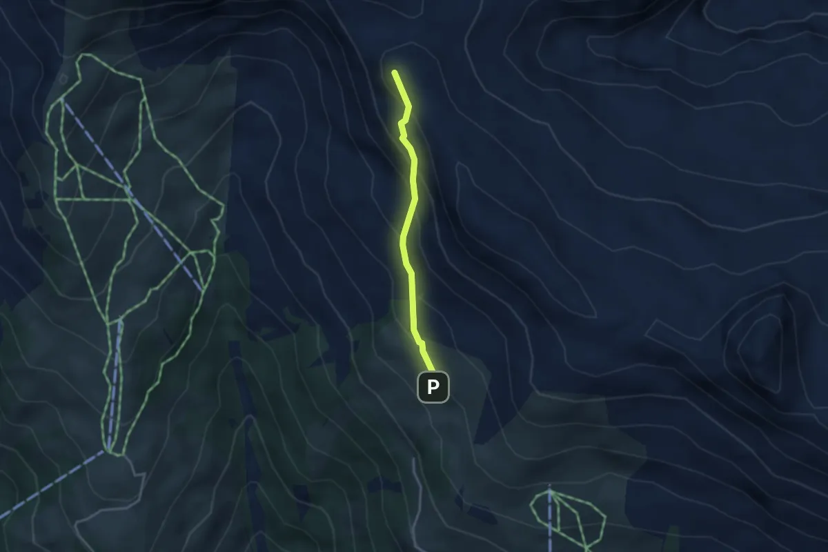
Gibel – Lienisberg
4.2 km · ↑ 235 m · 1 h 30 min · 15 km away
Easy · Summit
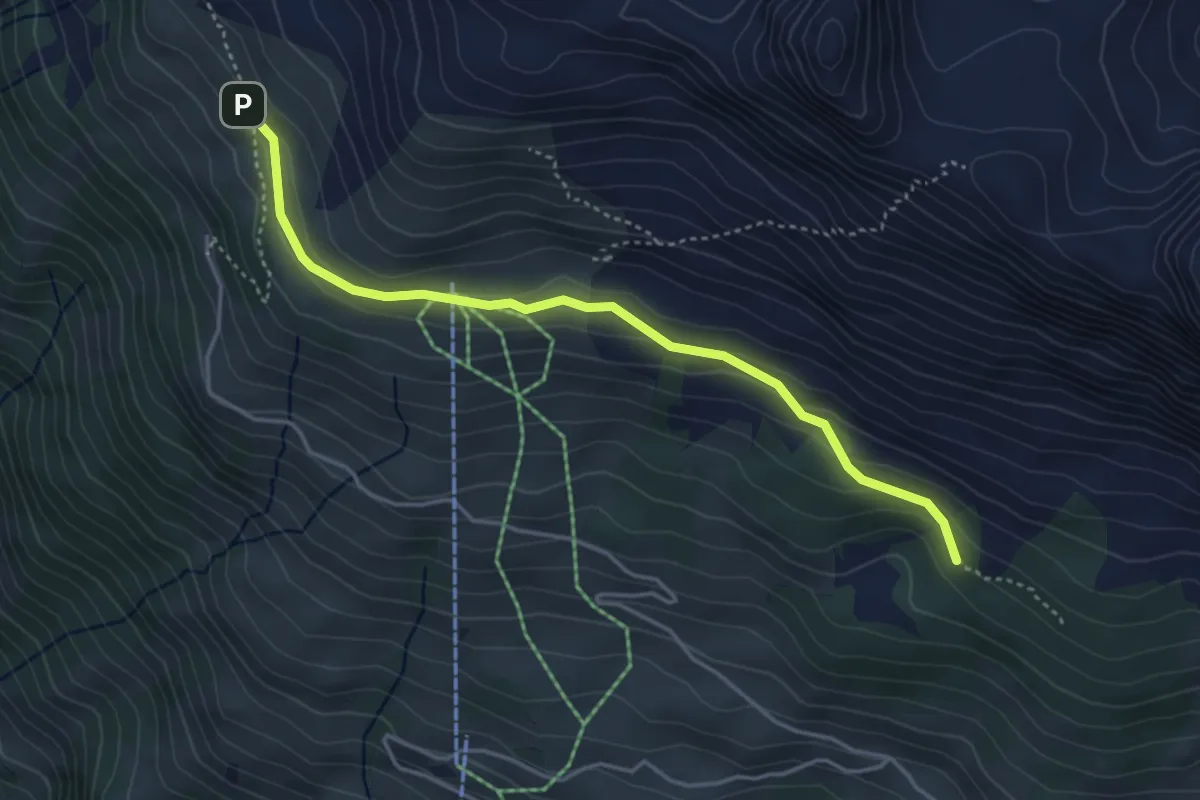
Ober Gisleralp – Chinzig Chulm
2.6 km · ↑ 229 m · 1 h 6 min · 15 km away
Easy · Trail
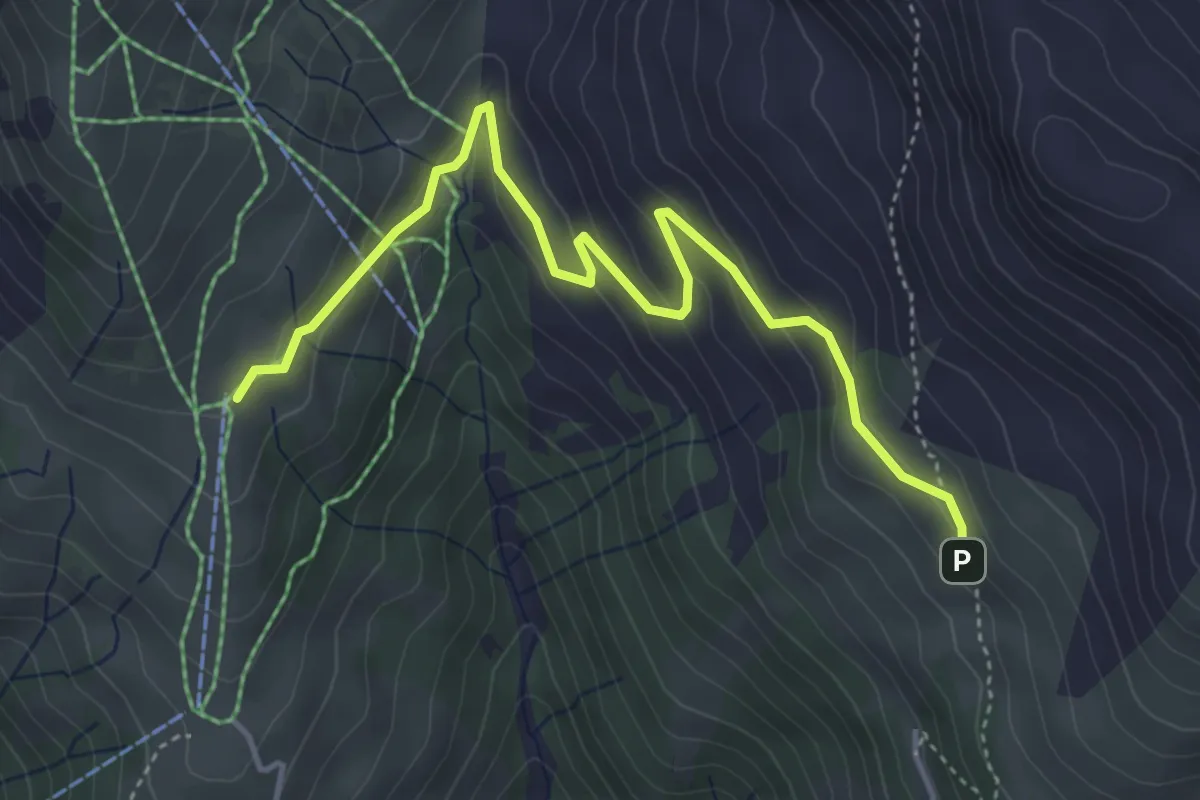
Äbneter Wald – Ober Gisleralp
4.1 km · ↑ 148 m · 1 h 17 min · 15 km away
Easy · Trail
Ober Gisleralp – Vorder Wissenboden
4.7 km · ↑ 237 m · 1 h 38 min · 15 km away
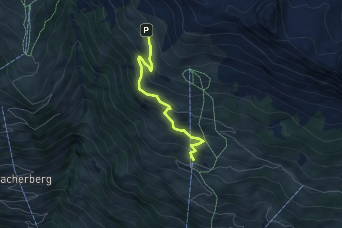
Medium · Trail
Ober Gisleralp – Ratzi
4.9 km · ↑ 333 m · 1 h 52 min · 15 km away
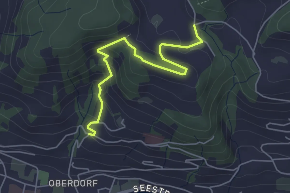
Medium · Trail
Heimhusen - Hinterwiden
4.4 km · ↑ 193 m · 1 h 28 min · 15 km away
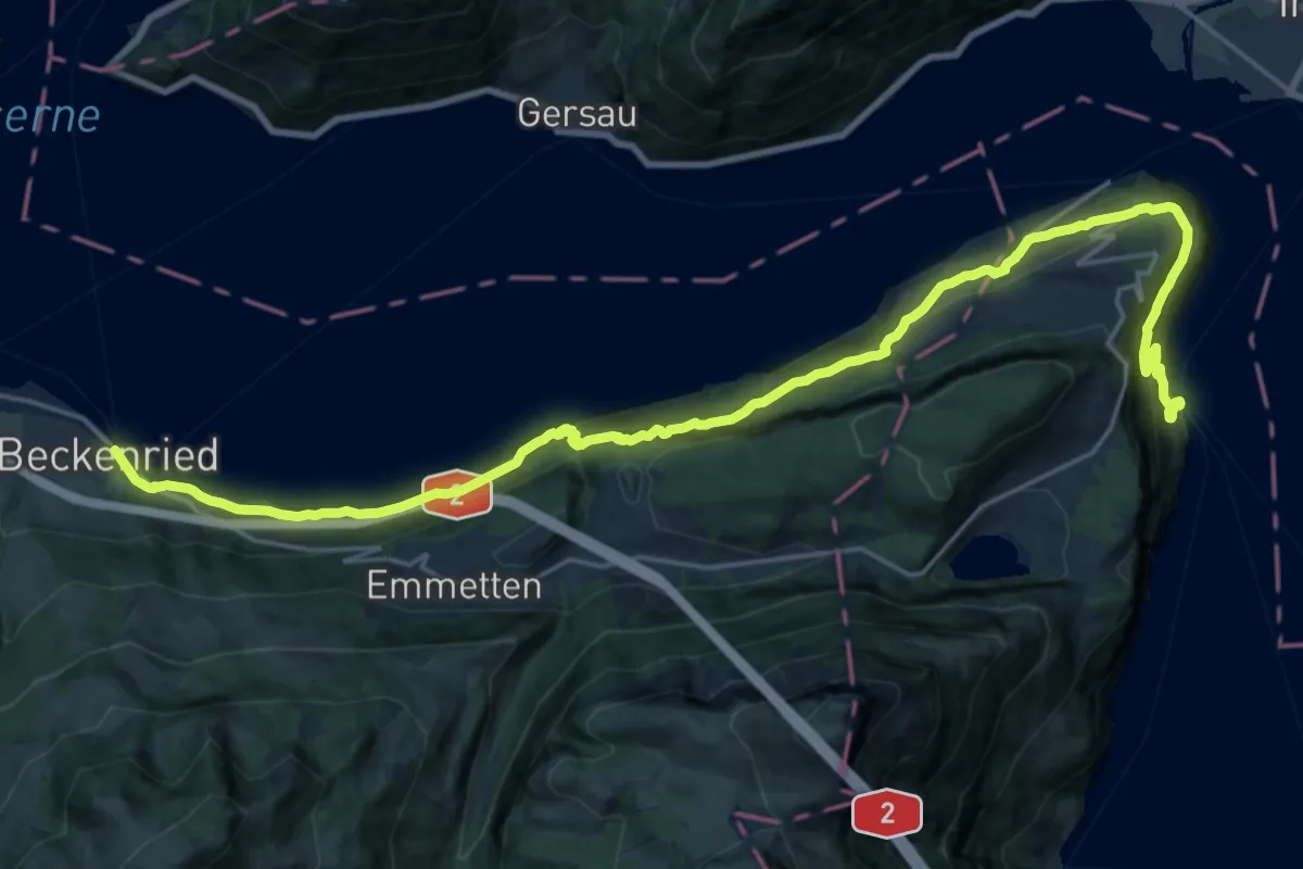
Medium · Trail
Waldstätterweg - Etappe 7
13.2 km · ↑ 769 m · 4 h 58 min · 15 km away
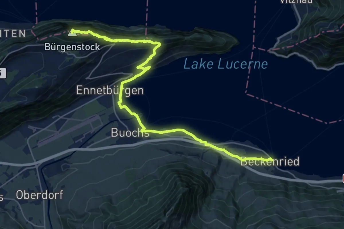
Demanding · Summit
Waldstätterweg - Etappe 6
23.1 km · ↑ 1185 m · 8 h 2 min · 15 km away
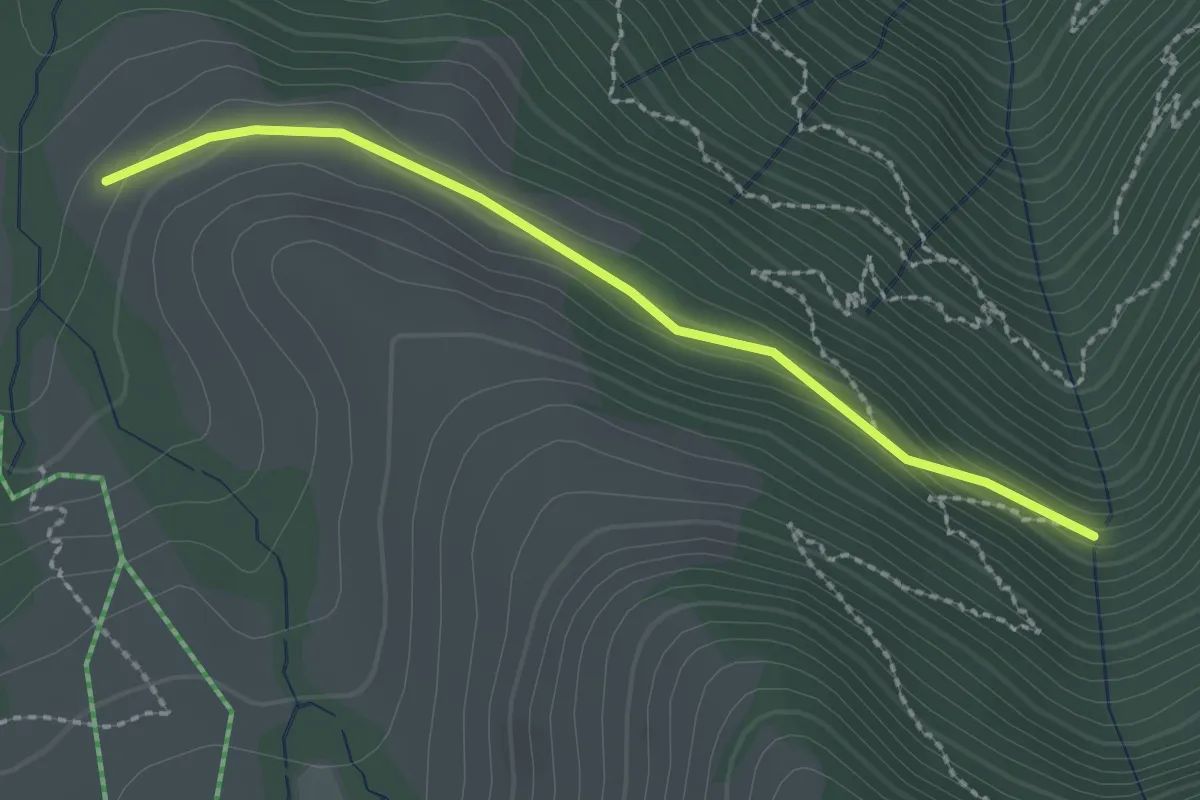
Easy · Trail
Stock – Alpetli
2.3 km · ↑ 41 m · 37 min · 15 km away
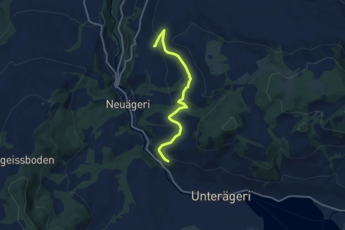
Easy · Trail
Waldheim -Heiterstaldena
7.1 km · ↑ 189 m · 2 h 5 min · 15 km away
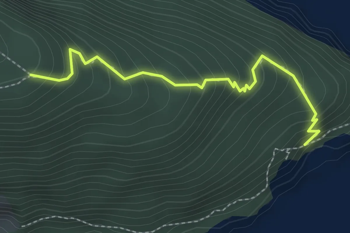
Medium · Trail
Unter Nas - Timmer Boden
2.3 km · ↑ 255 m · 1 h 5 min · 15 km away
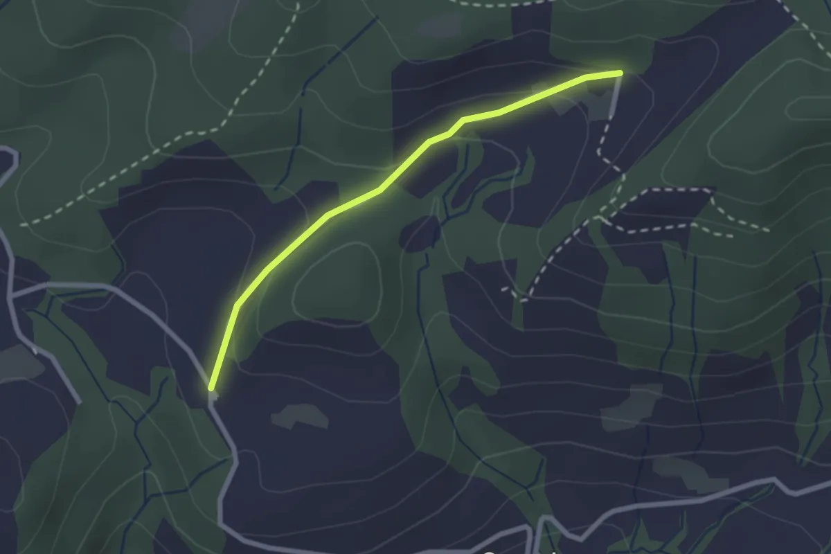
Easy · Trail
Hintertann – Hinterschneit
2.1 km · ↑ 98 m · 43 min · 15 km away
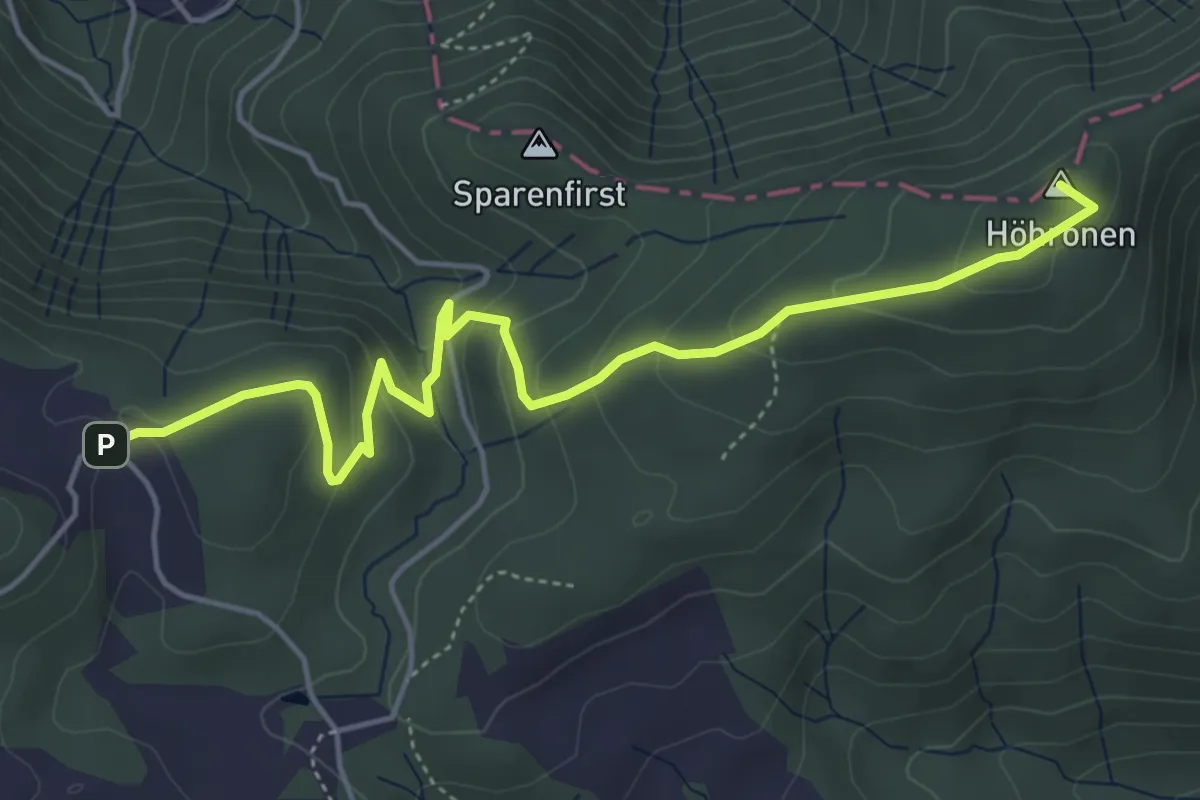
Easy · Summit
Höhboden – Gottschalkenberg
5.3 km · ↑ 249 m · 1 h 47 min · 15 km away
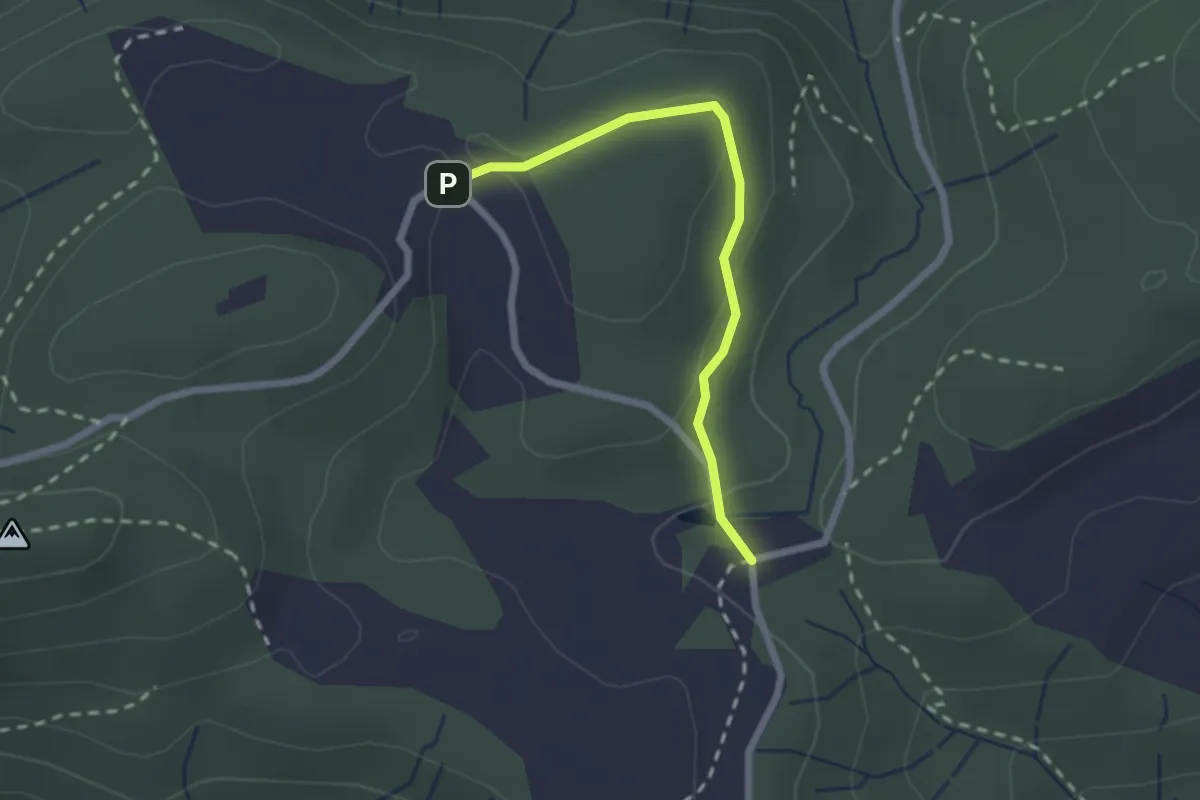
Easy · Trail
Chlausenchappeli – Gottschalkenberg
2.1 km · ↑ 47 m · 35 min · 15 km away