Trails near Sierre
266 hikes starting within 15 km, nearest first.
Nearest first, page 4 of 6
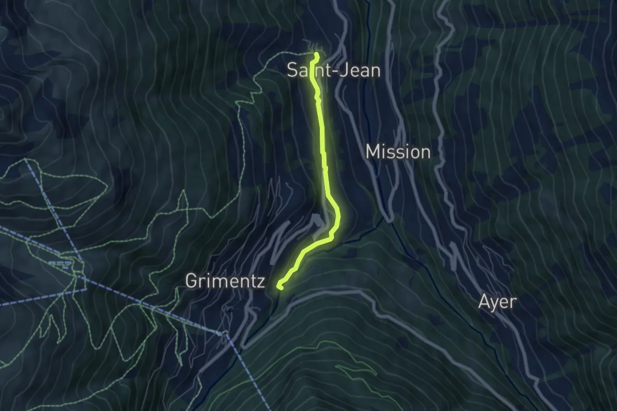
Easy · Trail
Morasse – St. Jean
4.6 km · ↑ 146 m · 1 h 24 min · 11 km away
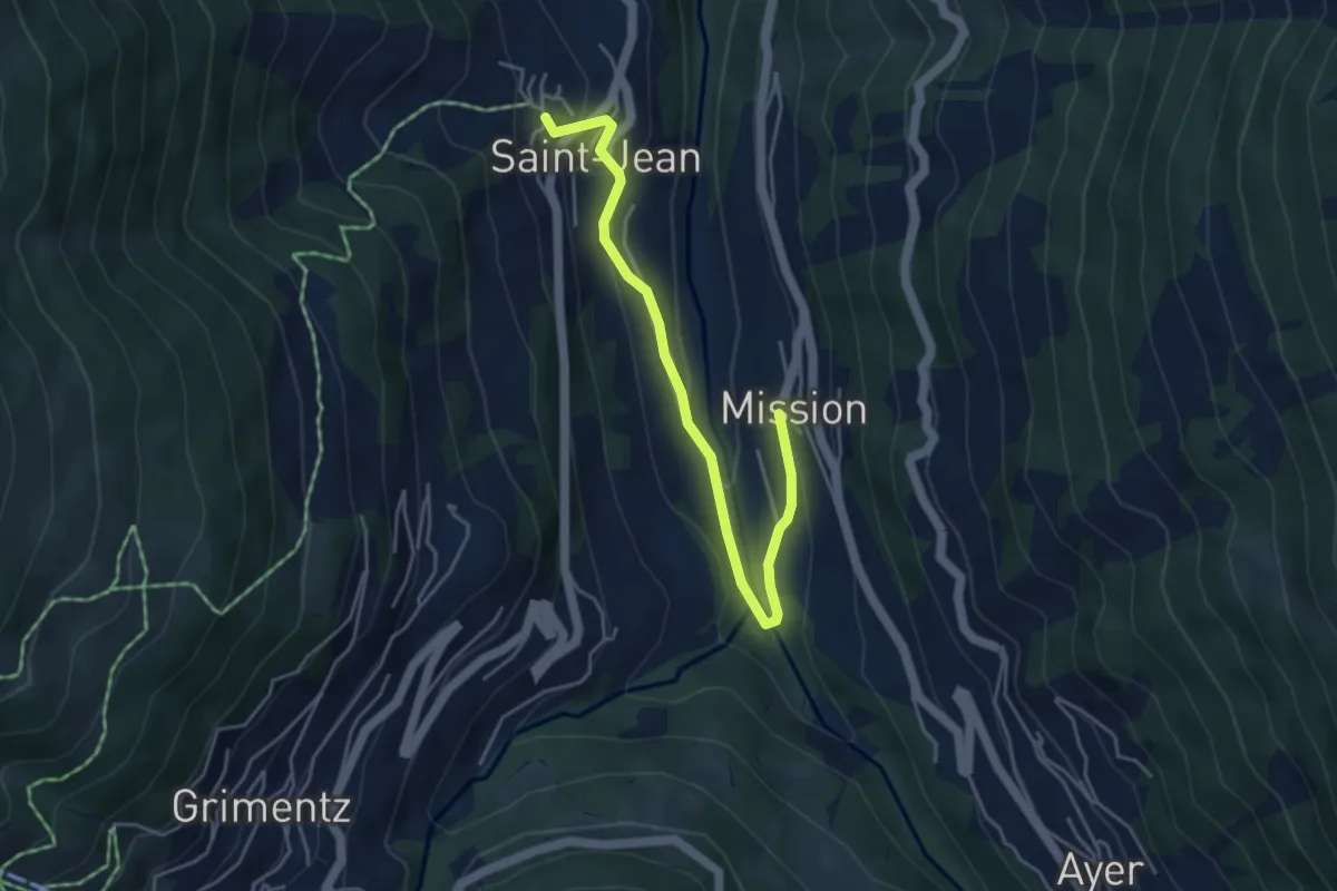
Easy · Trail
Mission – St. Jean
4.6 km · ↑ 184 m · 1 h 30 min · 11 km away
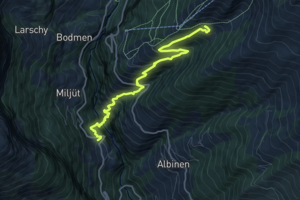
Demanding · Trail
Inden Torrentalp
10.1 km · ↑ 1056 m · 4 h 41 min · 11 km away
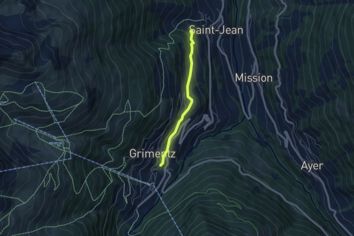
Easy · Trail
Grimentz – St. Jean
4.2 km · ↑ 186 m · 1 h 24 min · 11 km away
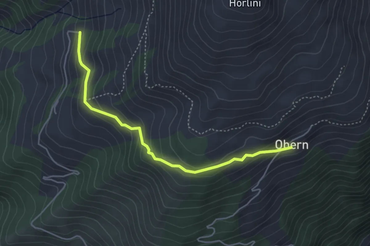
Easy · Trail
Tschermilong Uberu
4.1 km · ↑ 223 m · 1 h 27 min · 11 km away
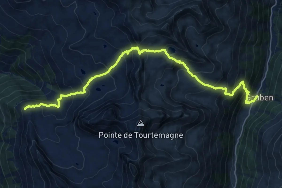
Demanding · Trail
22-Alpenpässe-Weg
10.4 km · ↑ 586 m · 4 h 7 min · 11 km away
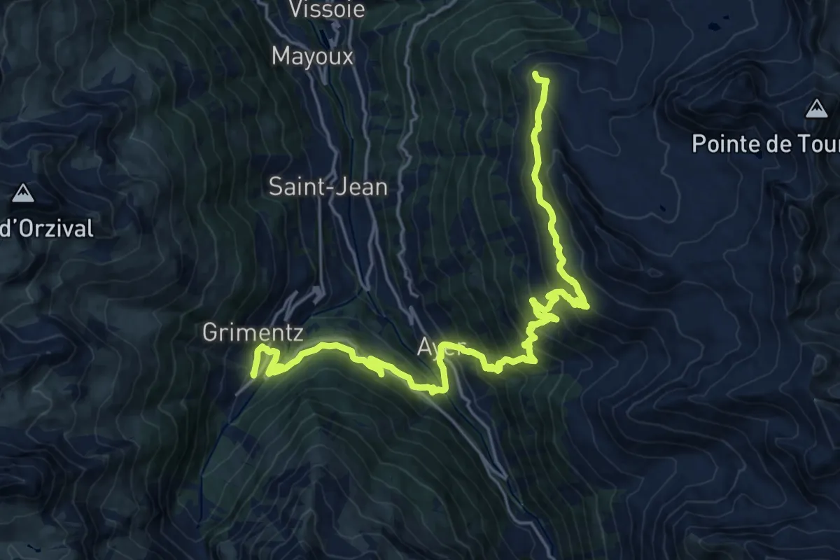
Medium · Trail
23-Chemin des cols alpins
11.9 km · ↑ 495 m · 4 h 25 min · 11 km away
Medium · Trail
Gillou – Hotel Weisshorn
5.7 km · ↑ 521 m · 2 h 28 min · 11 km away
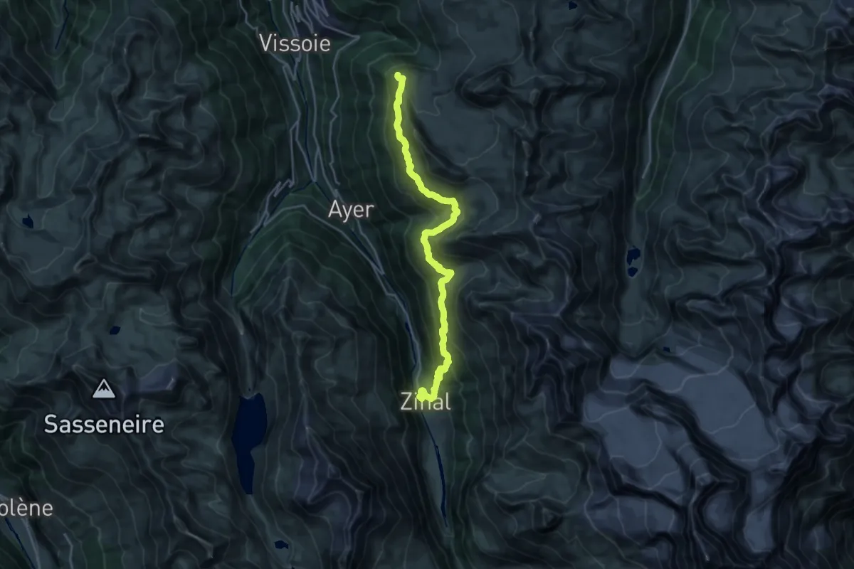
Medium · Trail
Hôtel Weisshorn-Zinal
11.3 km · ↑ 346 m · 3 h 54 min · 11 km away
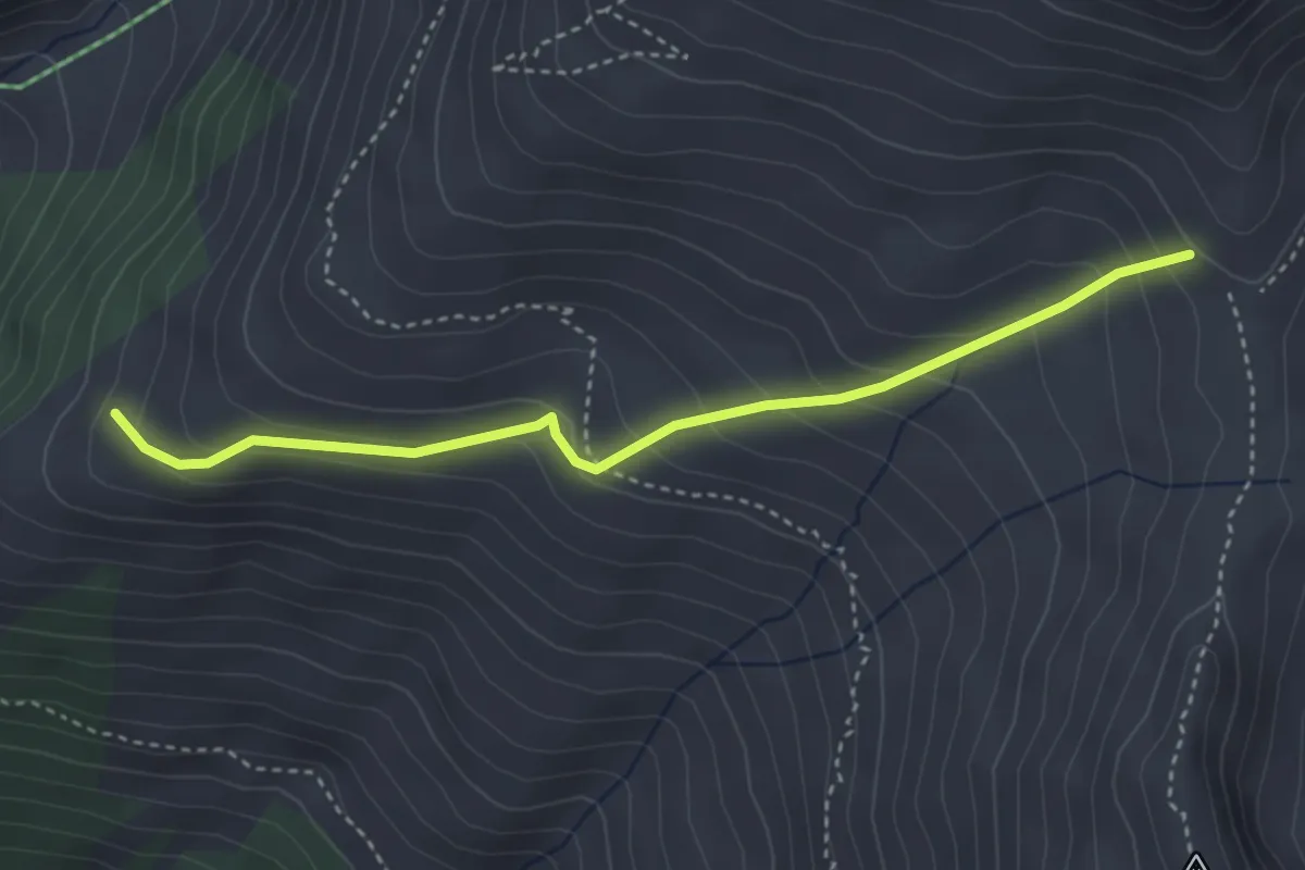
Easy · Trail
P2138 – Schnydi
3.6 km · ↑ 279 m · 1 h 28 min · 11 km away
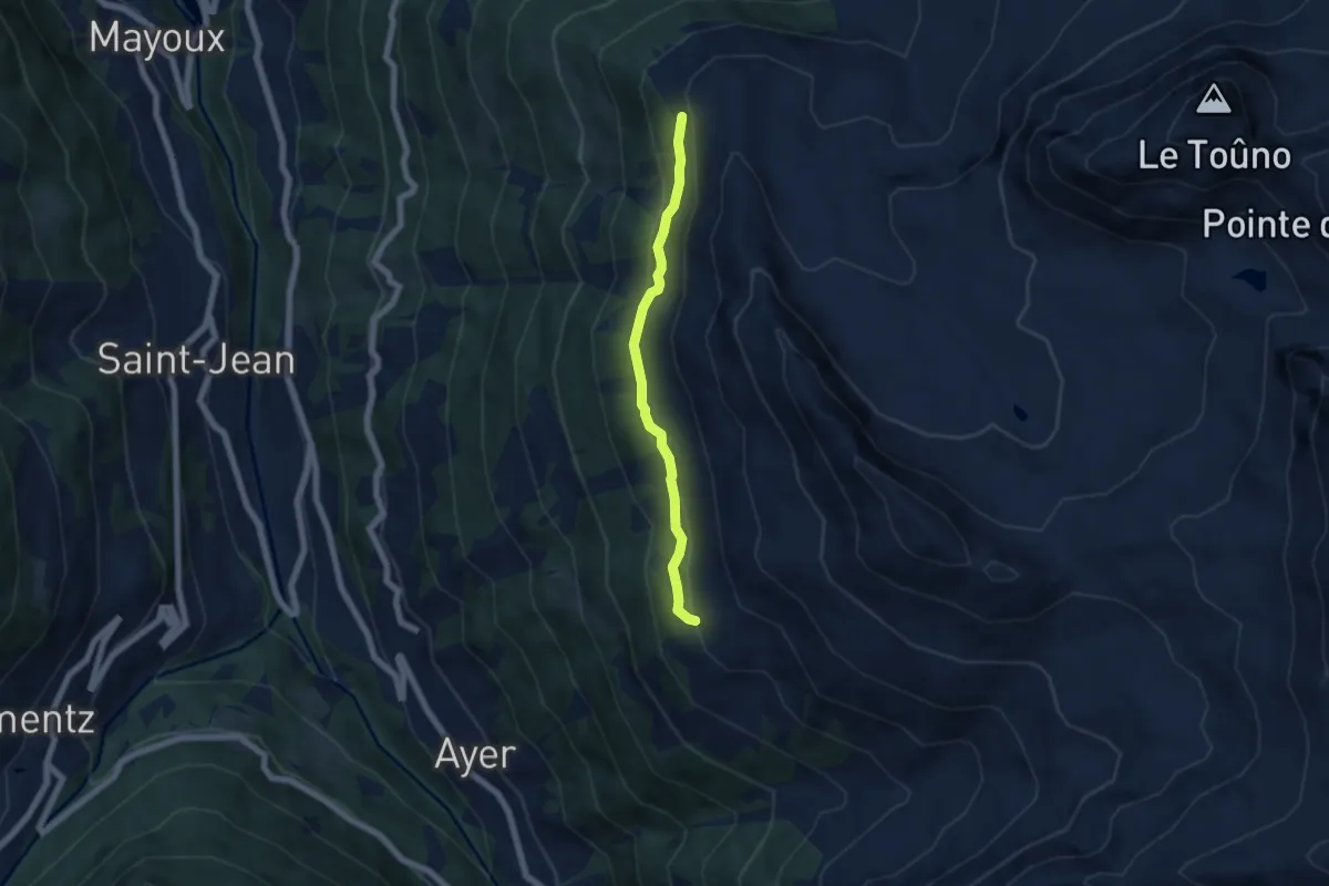
Easy · Trail
Le Chiesso – Hotel Weisshorn
5.3 km · ↑ 282 m · 1 h 52 min · 12 km away
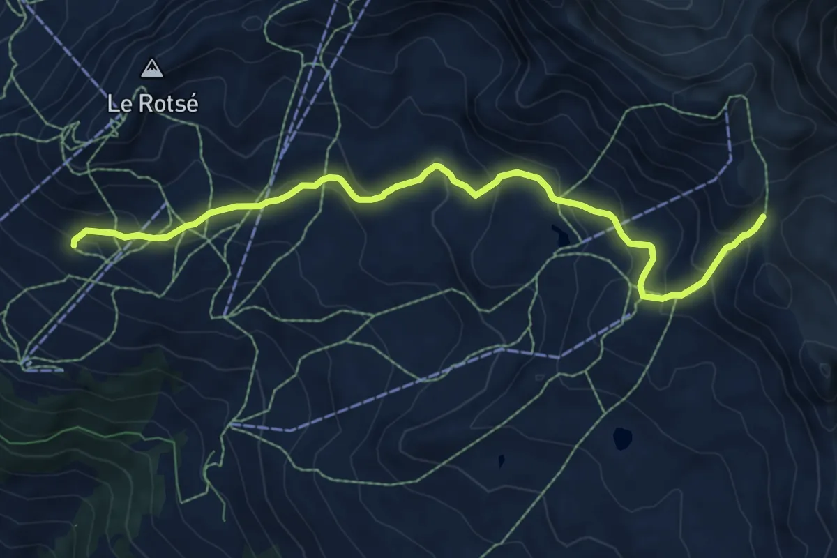
Medium · Cabin
Cabane Bella-Tola – Pas de Boeuf
8.3 km · ↑ 484 m · 3 h 1 min · 12 km away
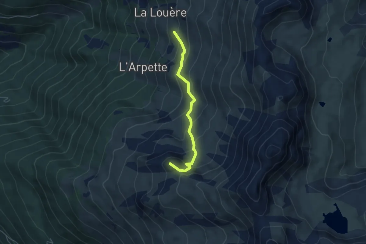
Medium · Summit
La Louère – Pas de Lovégno
4.1 km · ↑ 329 m · 1 h 40 min · 12 km away
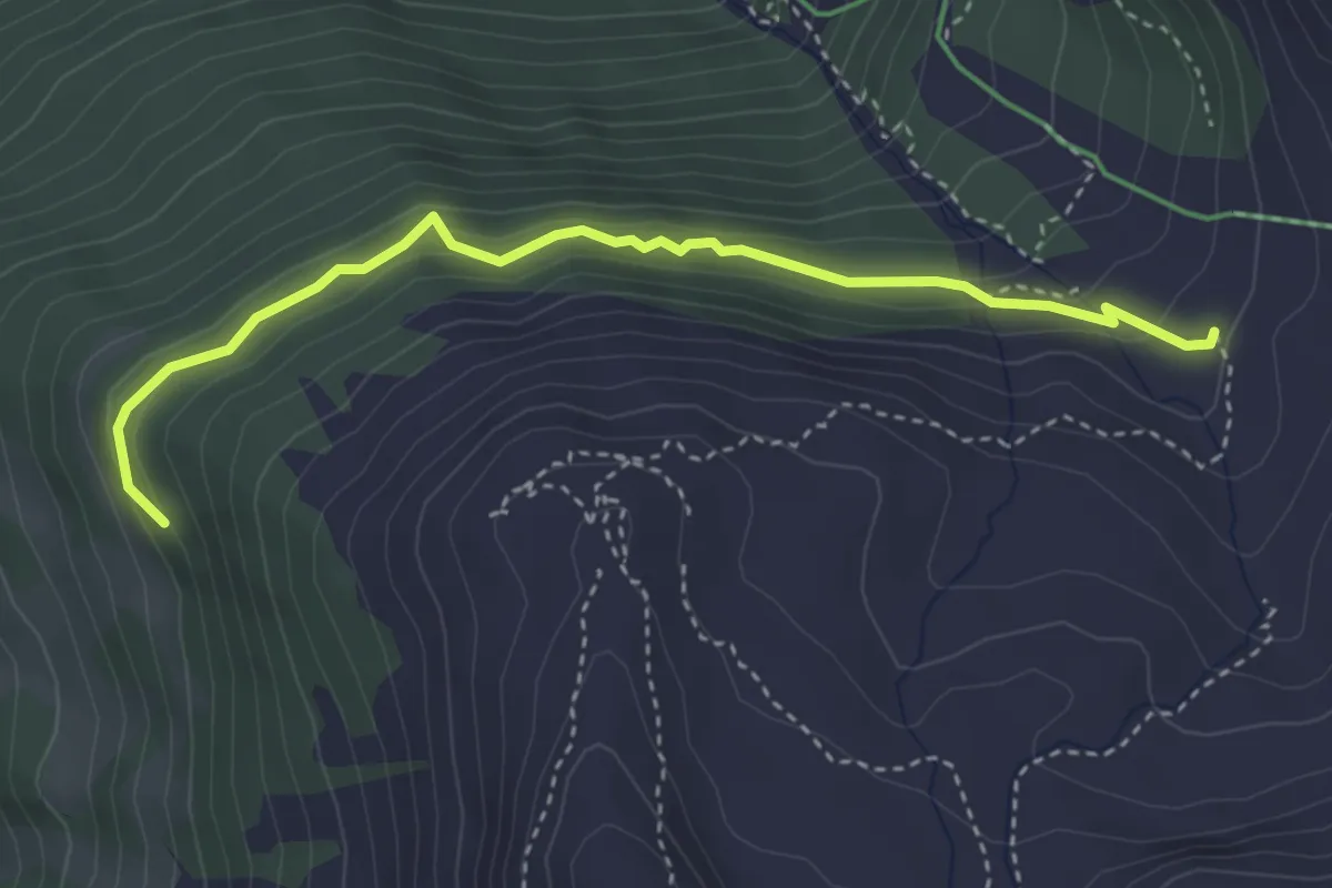
Demanding · Trail
Route de Gillou – Toûno Le Chiesso
3.8 km · ↑ 253 m · 1 h 26 min · 12 km away
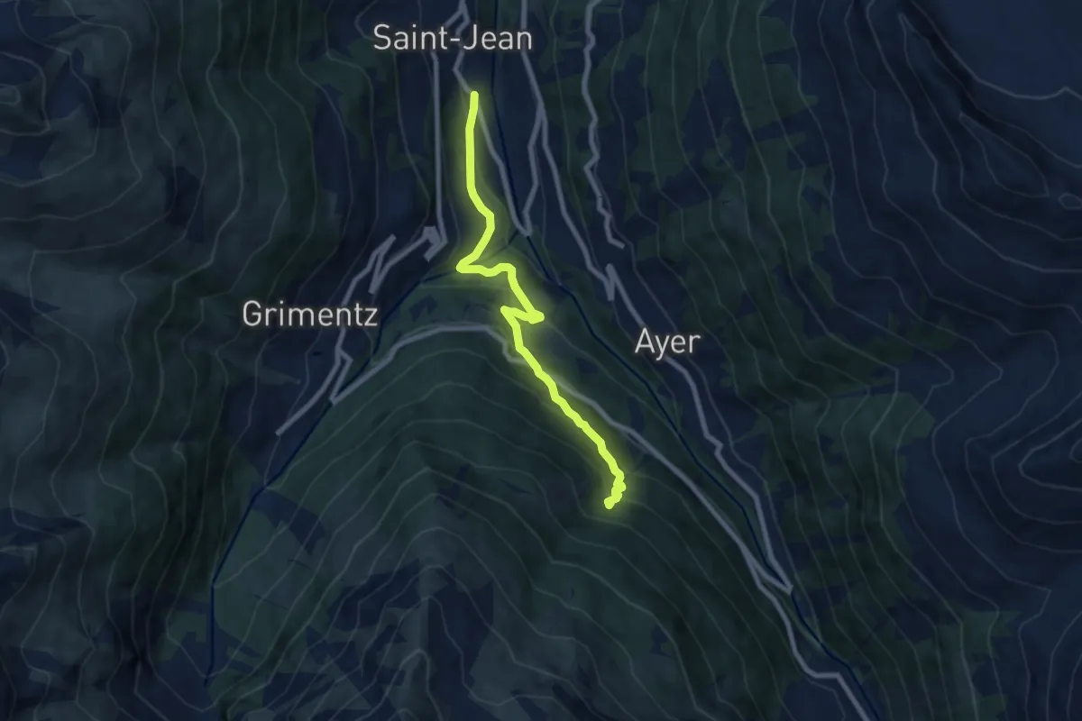
Medium · Trail
Les Barmes – Forêt des Morasses
7.7 km · ↑ 499 m · 2 h 53 min · 12 km away
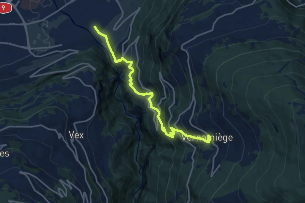
Demanding · Trail
Chemin de la Foire
10.1 km · ↑ 1003 m · 4 h 33 min · 12 km away
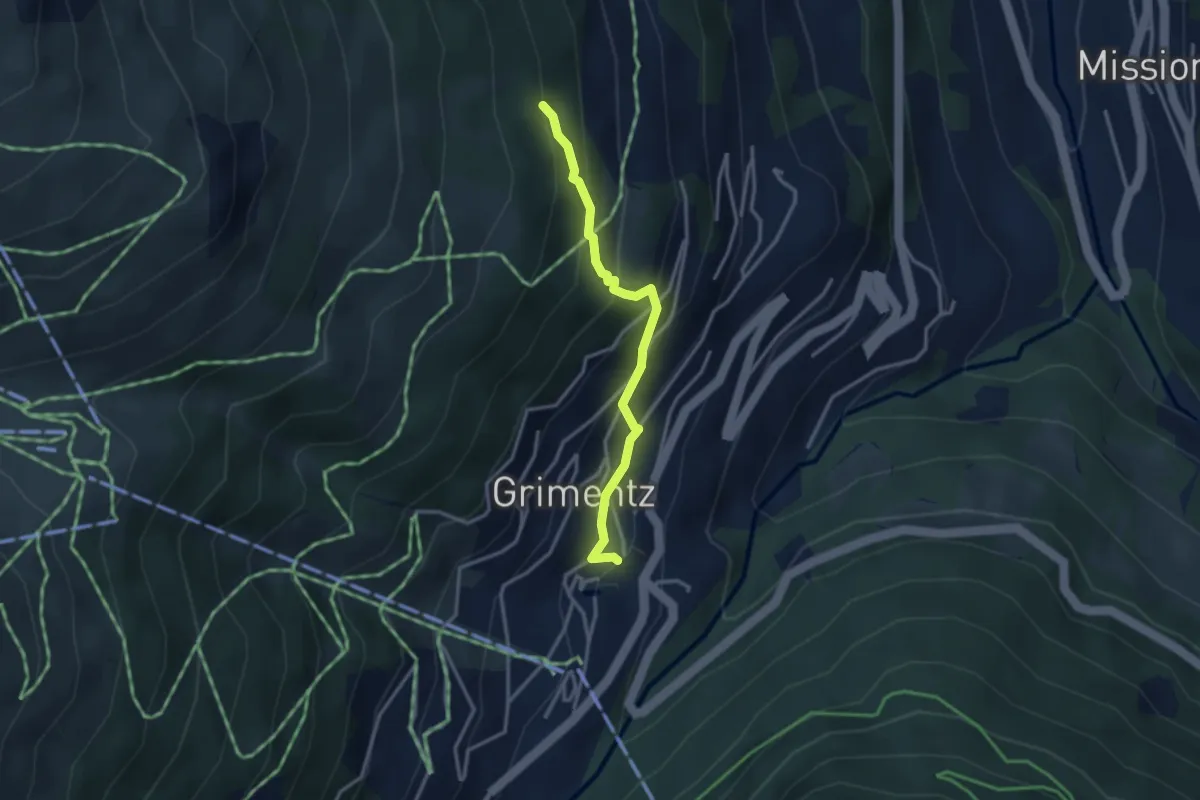
Easy · Trail
Grimentz – Avoin
2.9 km · ↑ 270 m · 1 h 17 min · 12 km away
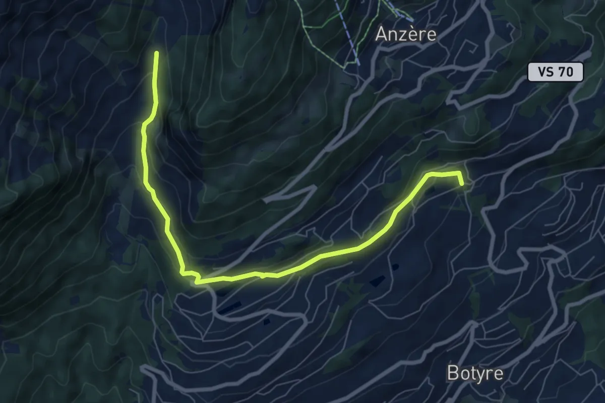
Medium · Trail
Bisse de Bitailla
7.7 km · ↑ 337 m · 2 h 33 min · 12 km away
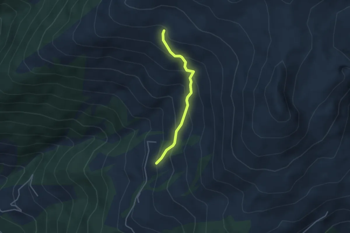
Easy · Trail
Tschärmilonga – P2209
2.8 km · ↑ 266 m · 1 h 14 min · 12 km away
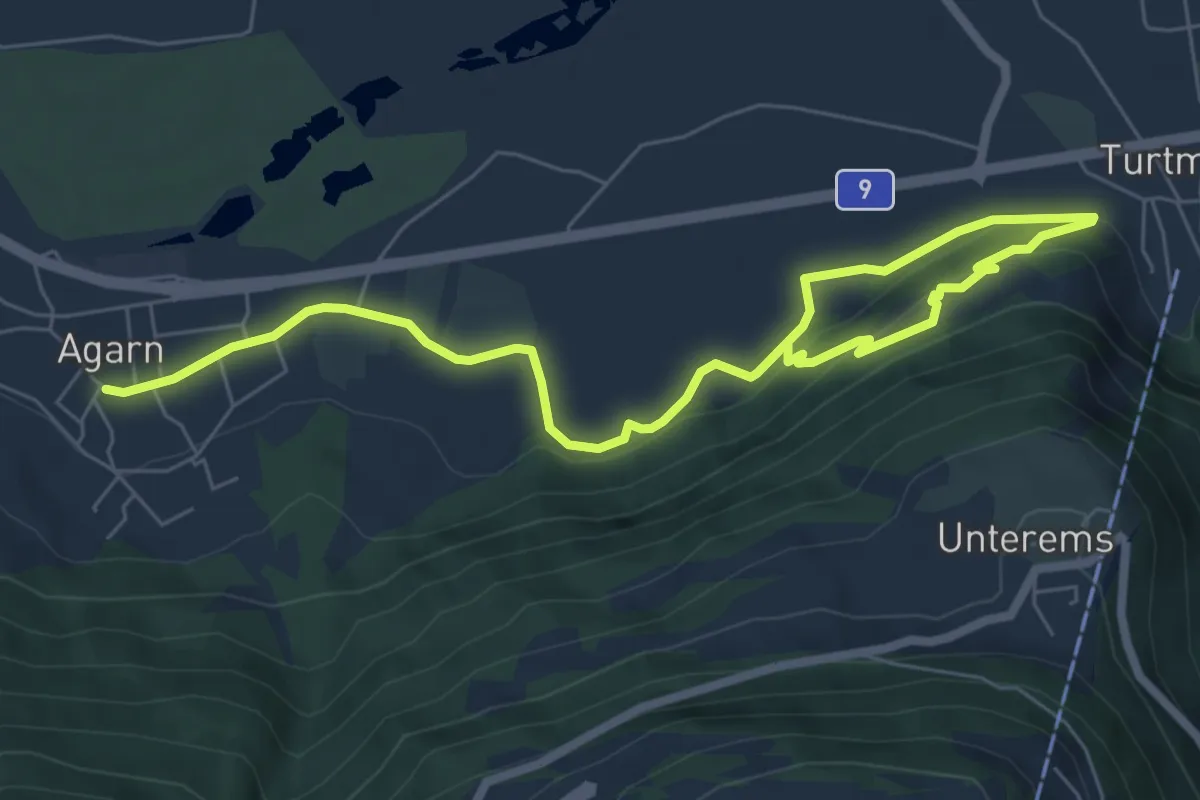
Medium · Trail
Agarn – Turtmann
8.8 km · ↑ 240 m · 2 h 36 min · 12 km away
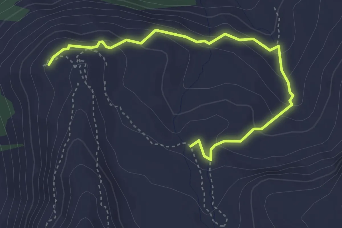
Medium · Trail
Hôtel Weisshorn – Les Faches
4.0 km · ↑ 240 m · 1 h 28 min · 12 km away
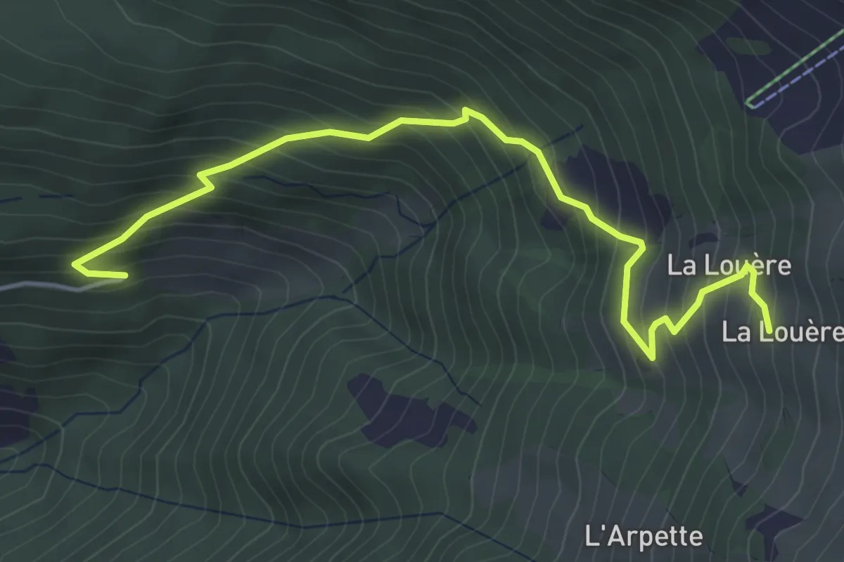
Medium · Cabin
Mayen-des-Praz – La Louère
5.0 km · ↑ 516 m · 2 h 18 min · 12 km away
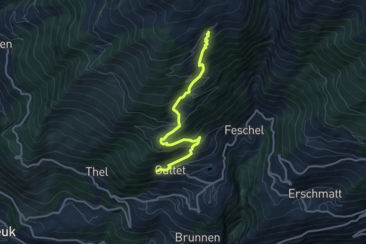
Medium · Trail
Guttet Uberu
7.2 km · ↑ 726 m · 3 h 16 min · 12 km away
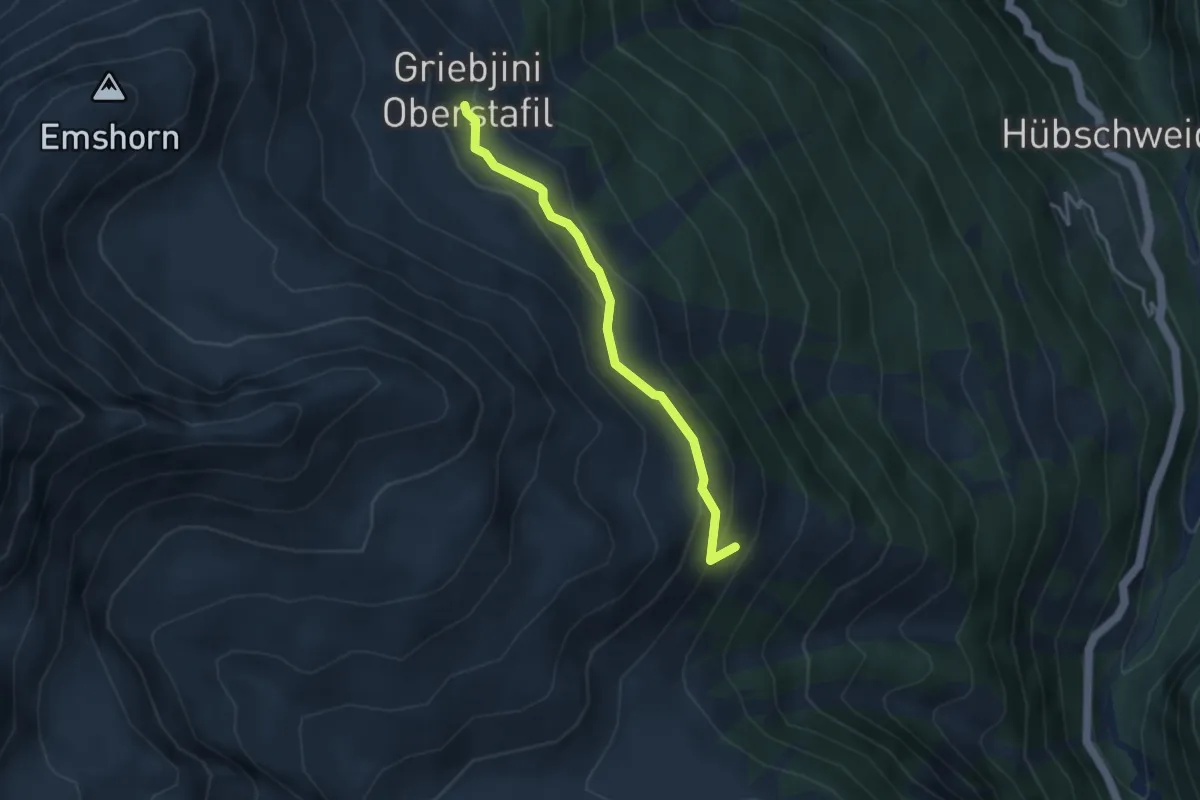
Easy · Trail
Griebjini – Vorsass
3.4 km · ↑ 183 m · 1 h 12 min · 12 km away
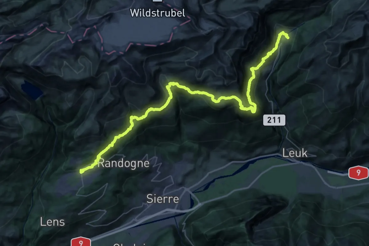
Demanding · Trail
Walliser Sonnenweg Etappe 1
23.9 km · ↑ 1494 m · 9 h 10 min · 12 km away
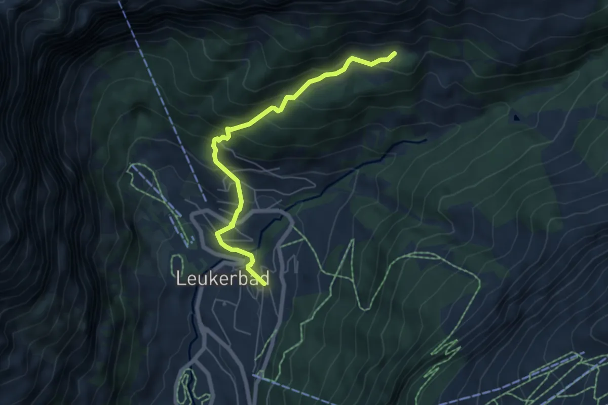
Medium · Trail
Leukerbad Flüekapelle
5.3 km · ↑ 422 m · 2 h 11 min · 12 km away
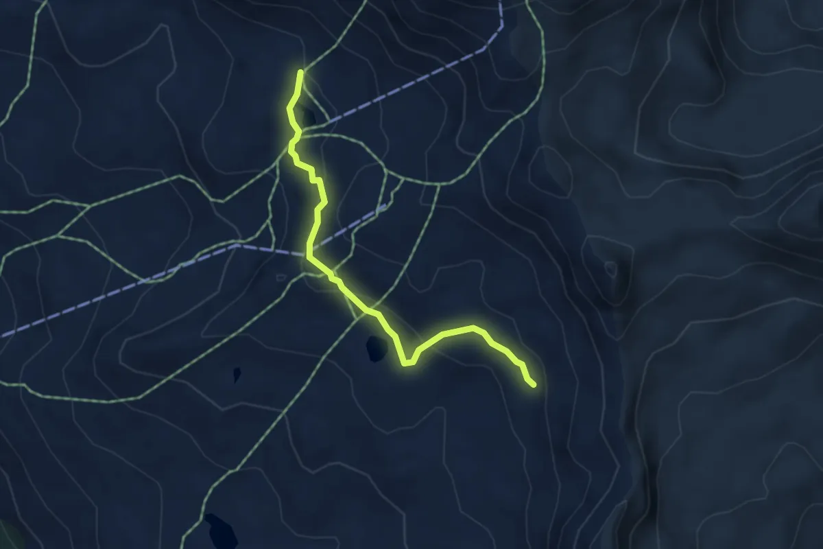
Medium · Trail
Meidpass-Lac de Bella Tola
4.3 km · ↑ 184 m · 1 h 25 min · 12 km away
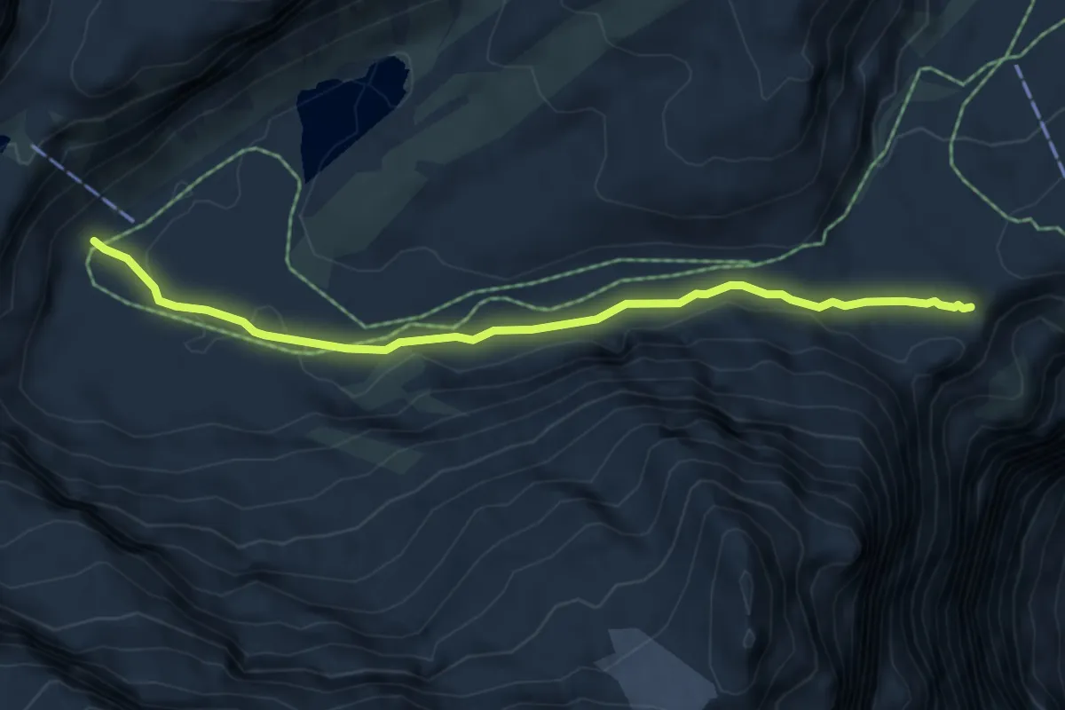
Medium · Trail
Gemmipass – Lämmerenhütte
5.6 km · ↑ 81 m · 1 h 30 min · 12 km away
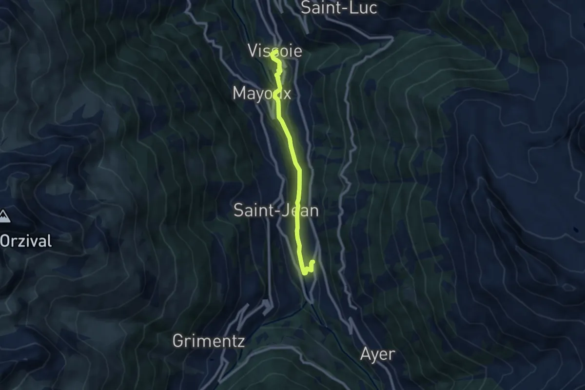
Easy · Trail
Mission – Vissoie
7.0 km · ↑ 247 m · 2 h 12 min · 12 km away
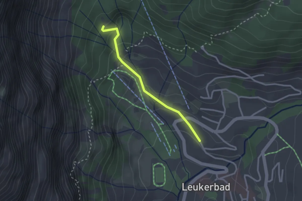
Easy · Trail
Leukerbad Gemmi
2.1 km · ↑ 119 m · 45 min · 12 km away
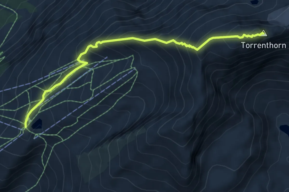
Demanding · Summit
Rinderhütte Bergstation – Torrenthorn
6.2 km · ↑ 679 m · 2 h 56 min · 12 km away
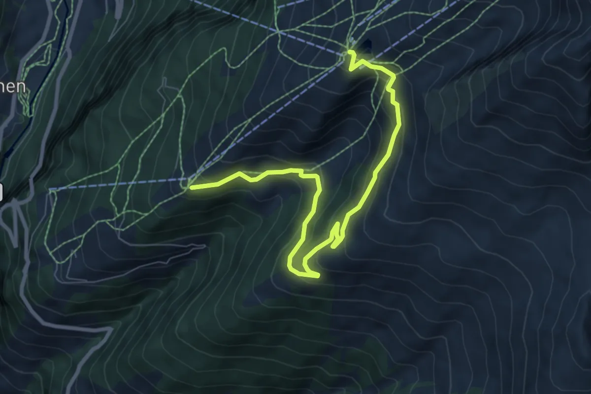
Medium · Trail
Torrentalp Rinderhütten
8.4 km · ↑ 452 m · 2 h 57 min · 12 km away
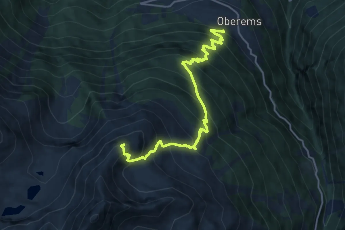
Demanding · Summit
Oberems – Emshorn
11.0 km · ↑ 1223 m · 5 h 15 min · 12 km away
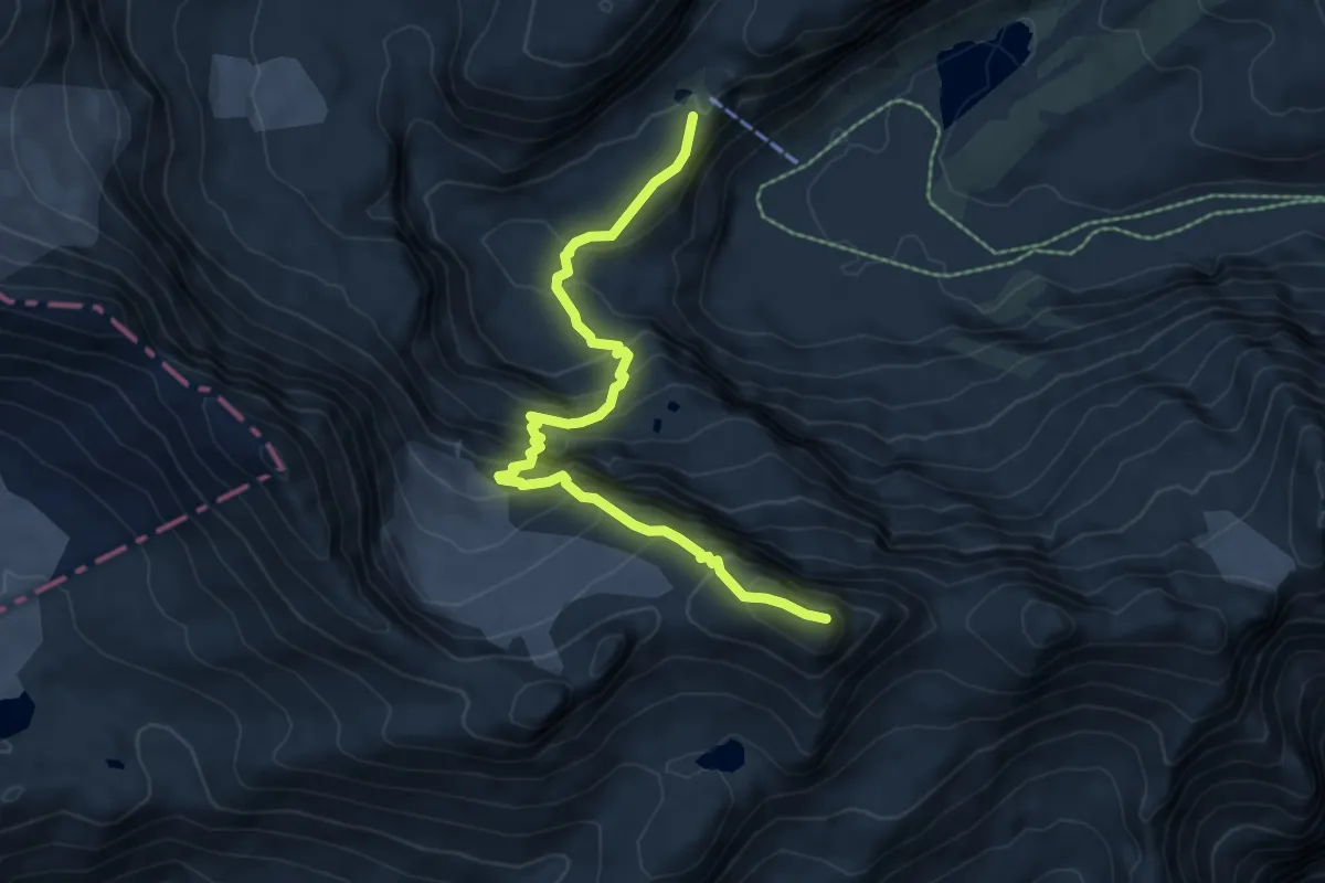
Expert · Summit
Lämmernhütte – Schwarzhorn
7.1 km · ↑ 716 m · 3 h 13 min · 12 km away
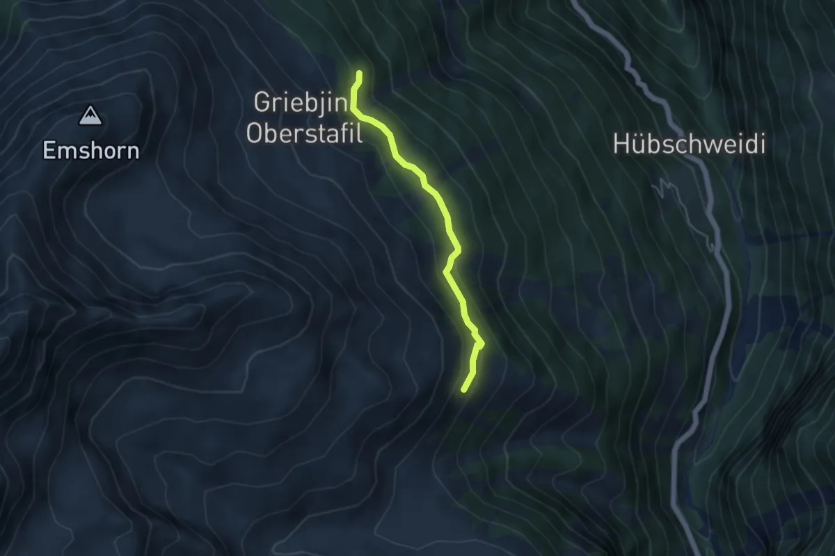
Easy · Trail
Flesch – Vorsass
3.7 km · ↑ 187 m · 1 h 17 min · 12 km away
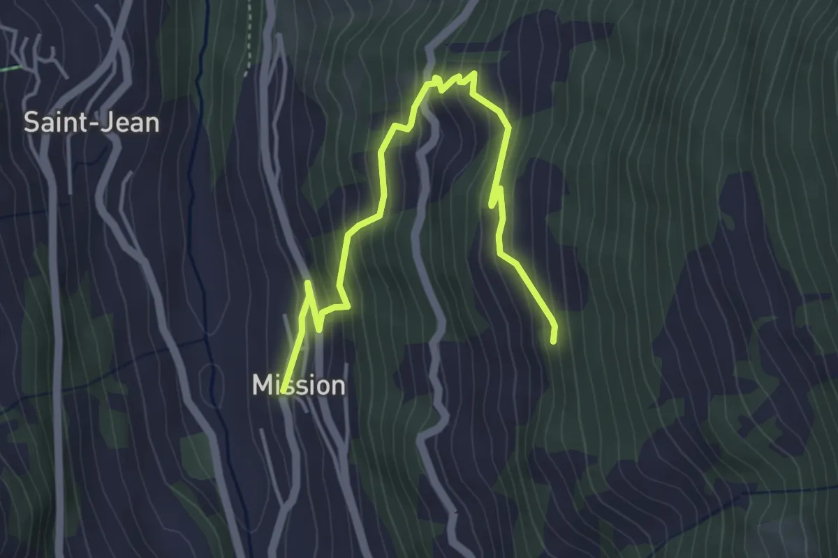
Medium · Trail
Mission – Les Replans
4.6 km · ↑ 387 m · 1 h 55 min · 12 km away
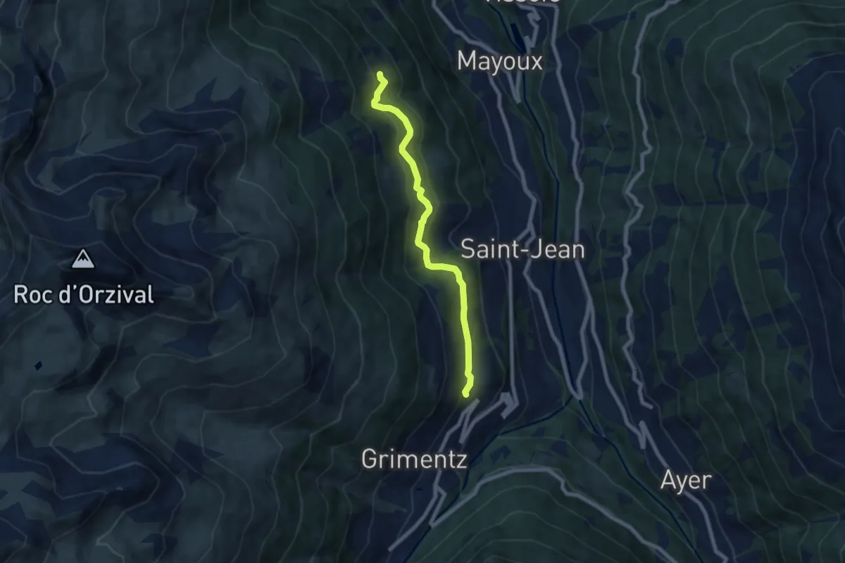
Easy · Trail
Grimentz – Les Bouesses
6.6 km · ↑ 295 m · 2 h 12 min · 12 km away
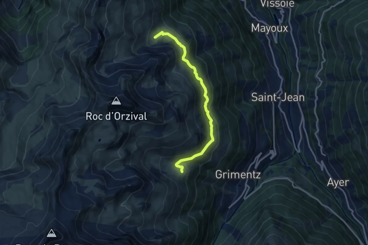
Medium · Trail
Bendolla – Orzival
9.2 km · ↑ 366 m · 2 h 58 min · 13 km away
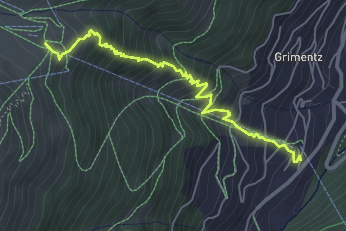
Medium · Trail
Grimentz – Bendolla
4.7 km · ↑ 548 m · 2 h 18 min · 13 km away
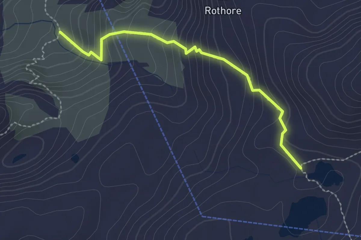
Medium · Trail
Stierenläger-Rawilseeleni
2.3 km · ↑ 226 m · 1 h 3 min · 13 km away
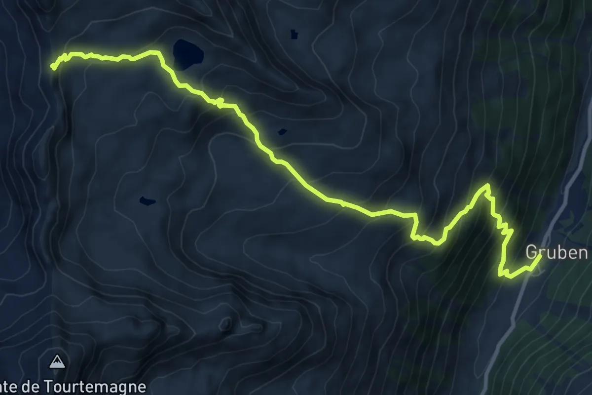
Demanding · Trail
Gruben-Meidpass
10.9 km · ↑ 943 m · 4 h 36 min · 13 km away
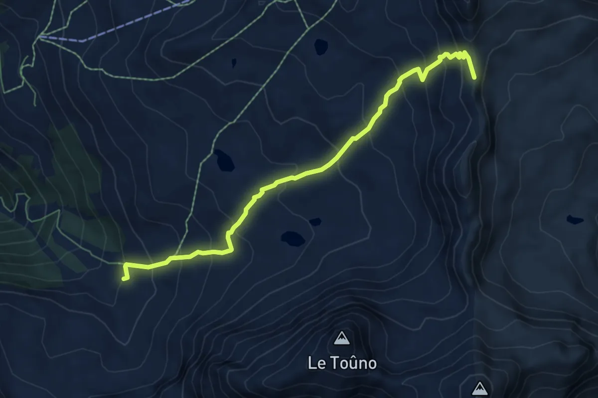
Demanding · Trail
Meidpass-Toûno
6.9 km · ↑ 569 m · 2 h 51 min · 13 km away
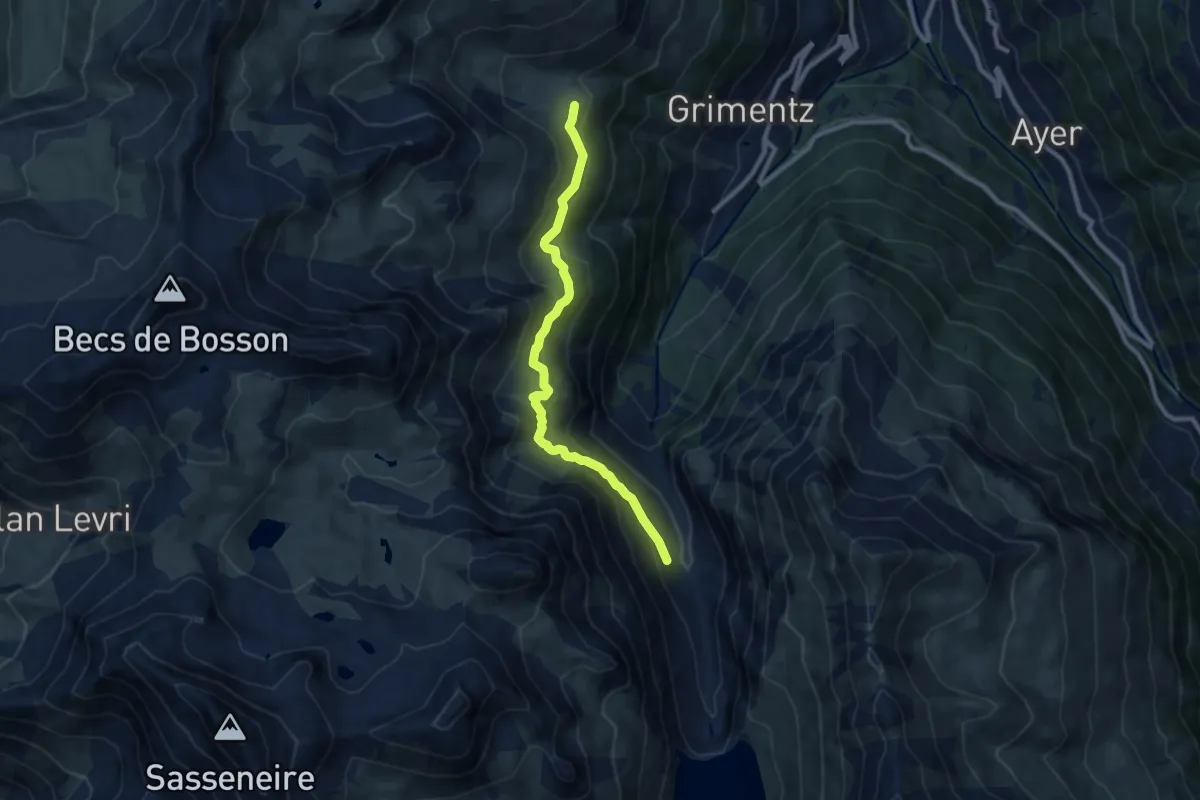
Medium · Trail
Moretta – Bendolla
8.8 km · ↑ 514 m · 3 h 11 min · 13 km away
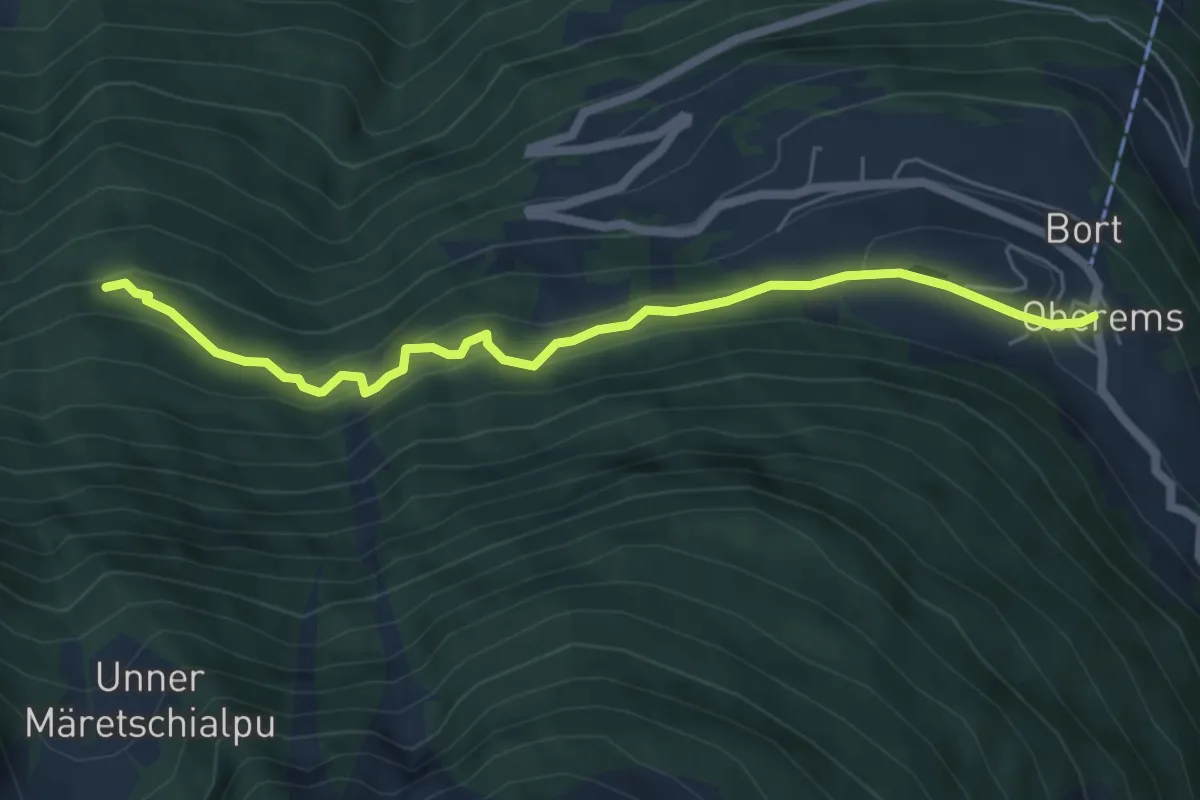
Medium · Trail
Oberems – Hinnerasp
6.0 km · ↑ 364 m · 2 h 12 min · 13 km away
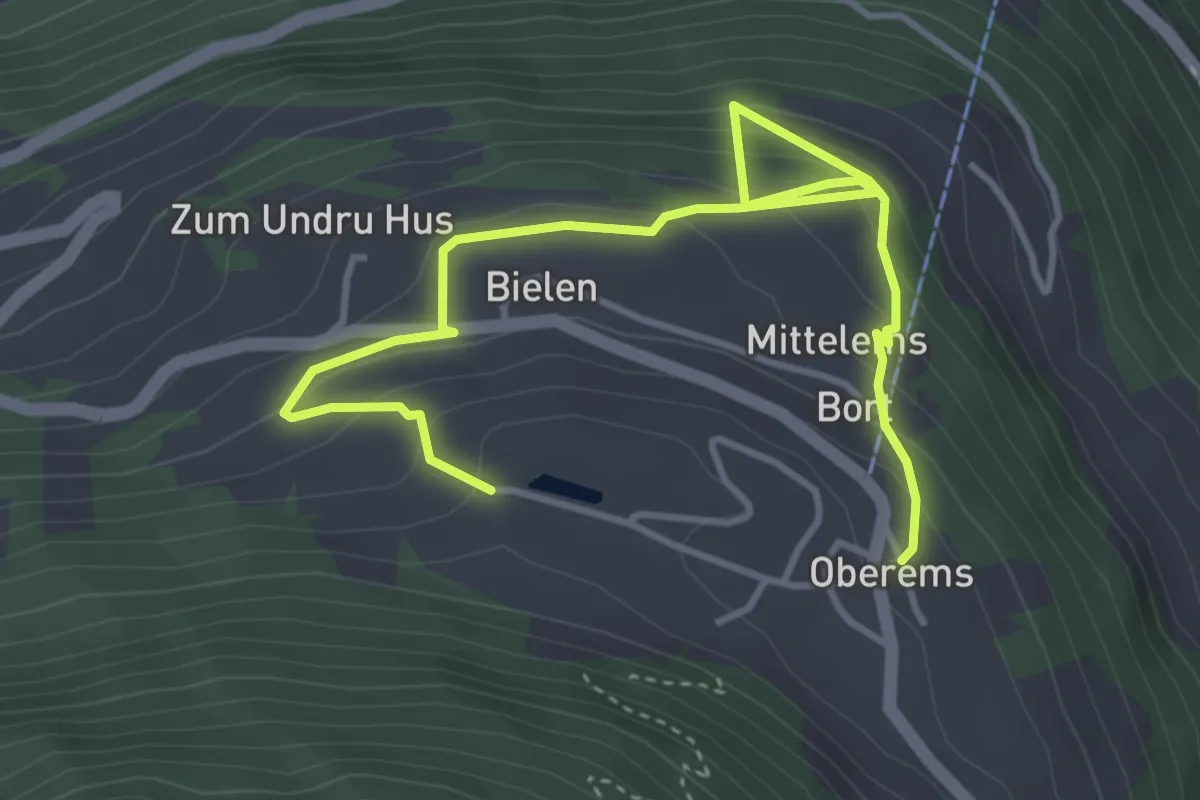
Medium · Trail
Oberems – Oberems
5.2 km · ↑ 405 m · 2 h 6 min · 13 km away
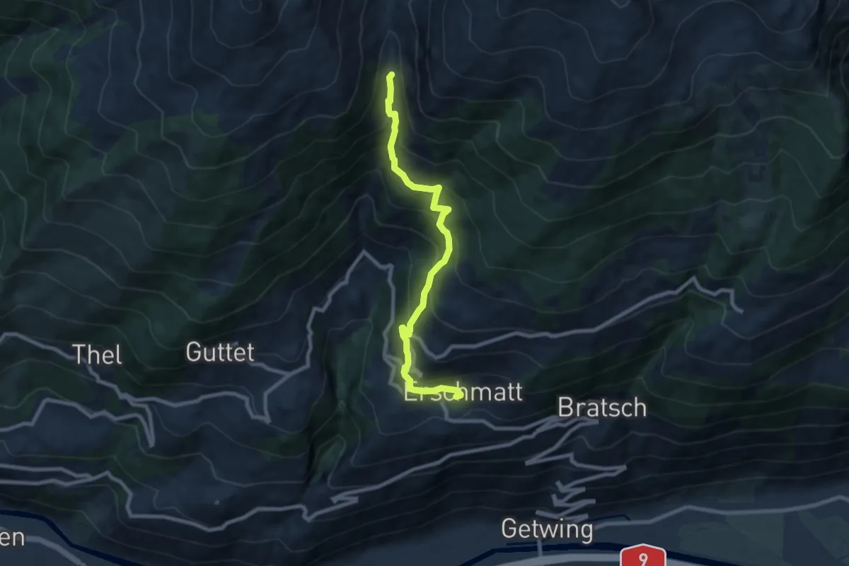
Medium · Trail
Erschmatt Bachalpe
8.0 km · ↑ 669 m · 3 h 21 min · 13 km away
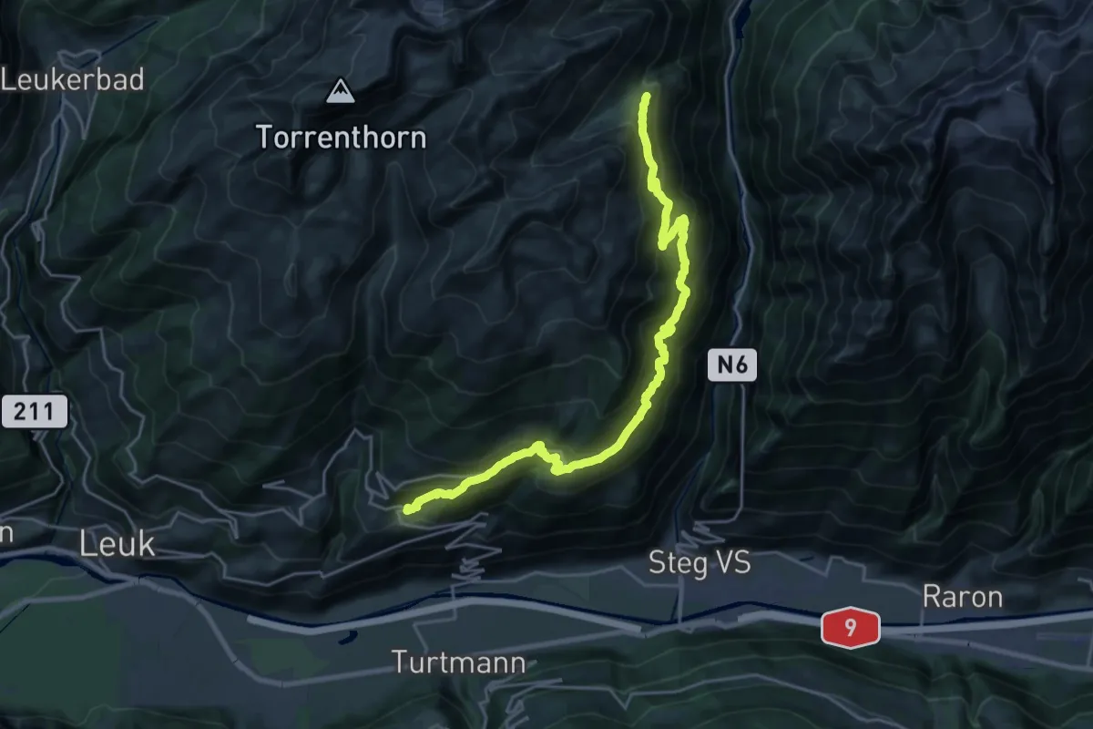
Demanding · Trail
Erschmatt Faldumalp
11.7 km · ↑ 1275 m · 5 h 16 min · 13 km away
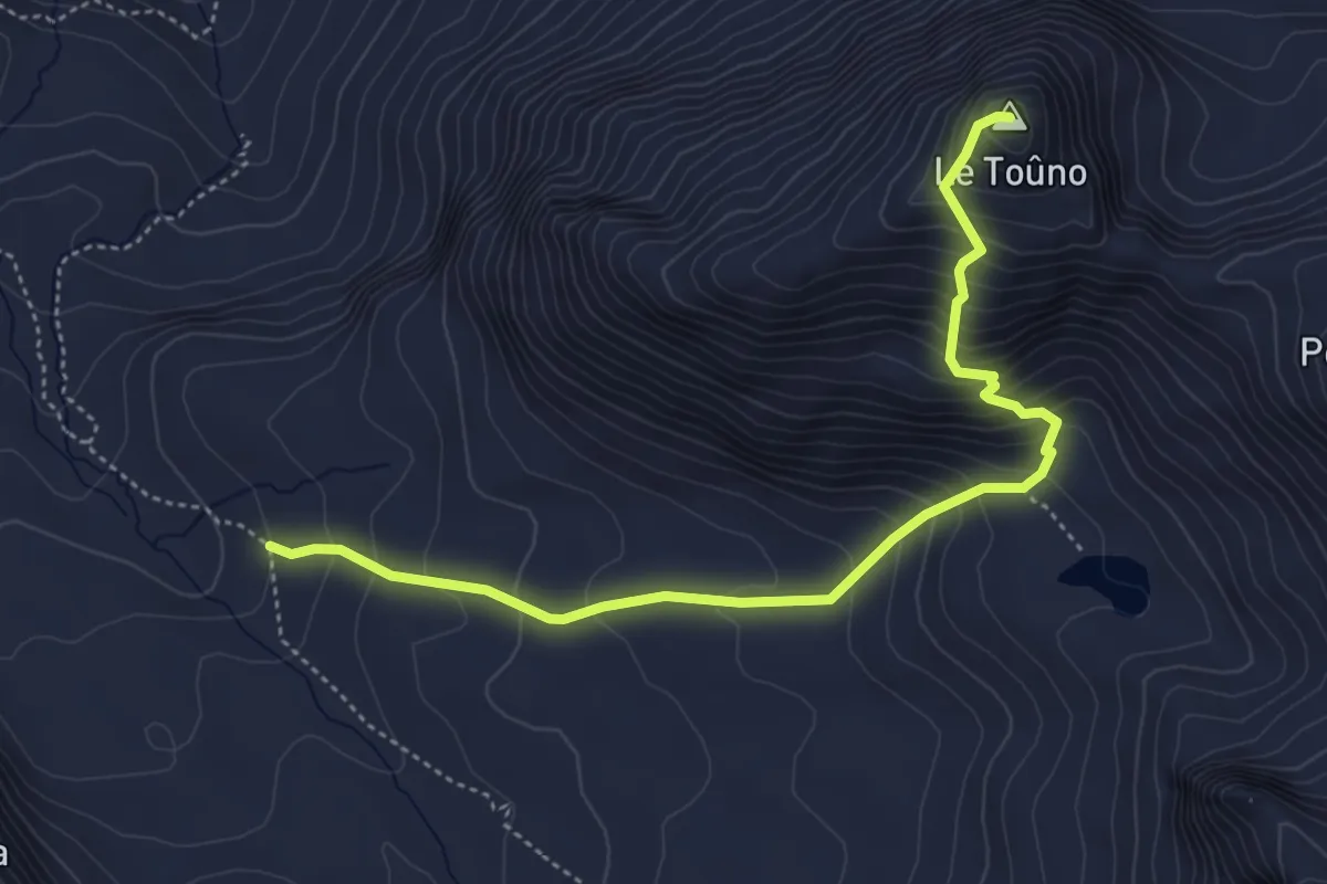
Medium · Summit
Le Vijivi – Le Toûno
5.0 km · ↑ 542 m · 2 h 22 min · 13 km away