Trails near Sierre
266 hikes starting within 15 km, nearest first.
Nearest first, page 5 of 6
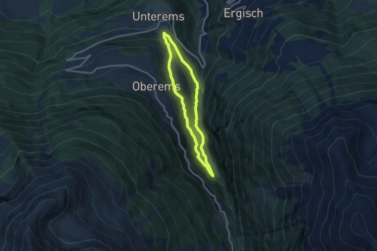
Medium · Trail
Unterems – Toibuwald
5.4 km · ↑ 415 m · 2 h 15 min · 13 km away
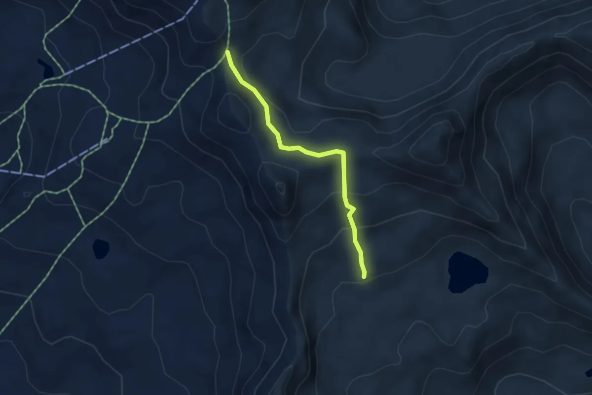
Easy · Trail
Pas de Boeuf – Meidsee
3.3 km · ↑ 162 m · 1 h 8 min · 13 km away
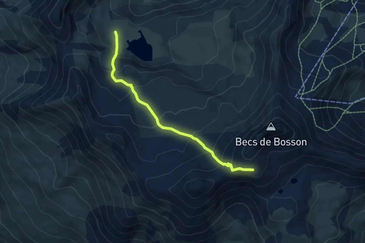
Medium · Cabin
Becs de Bosson - Le Louché Lac
5.1 km · ↑ 405 m · 2 h 5 min · 13 km away
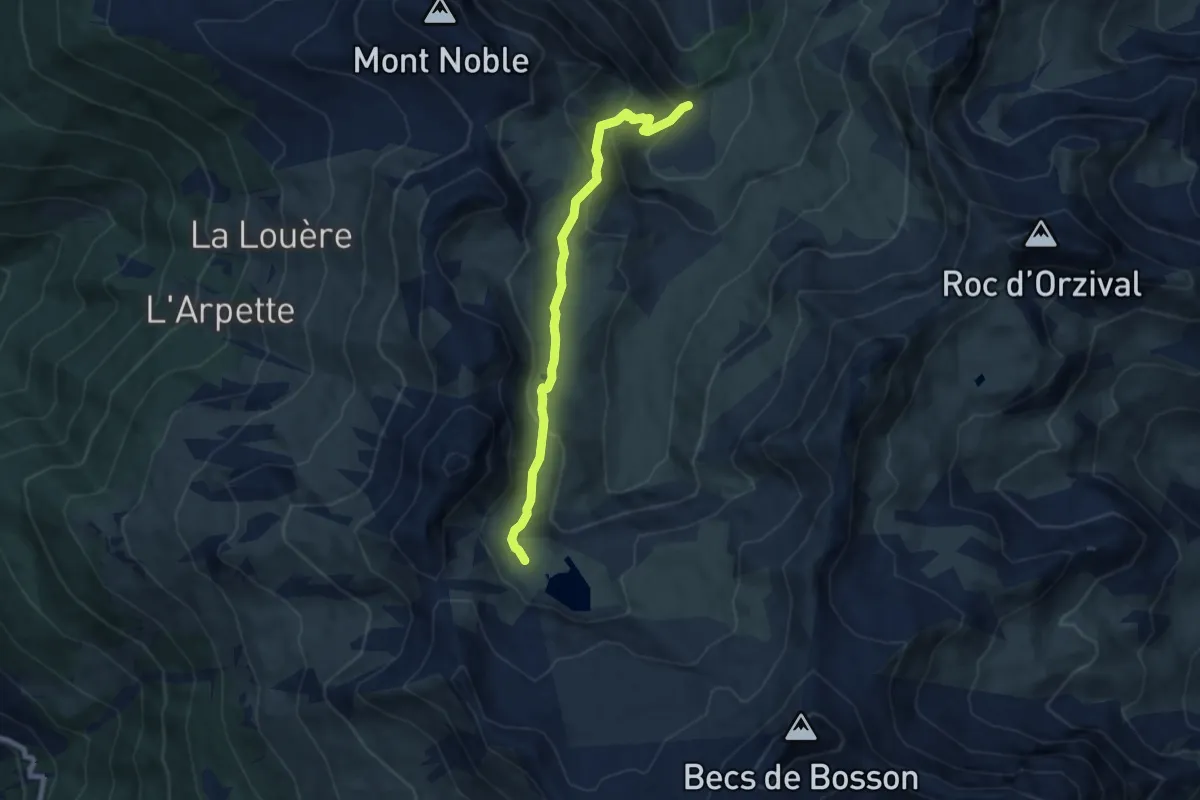
Medium · Trail
Le Louché-L'Ar du Tsan Lac (A)
7.3 km · ↑ 408 m · 2 h 36 min · 13 km away
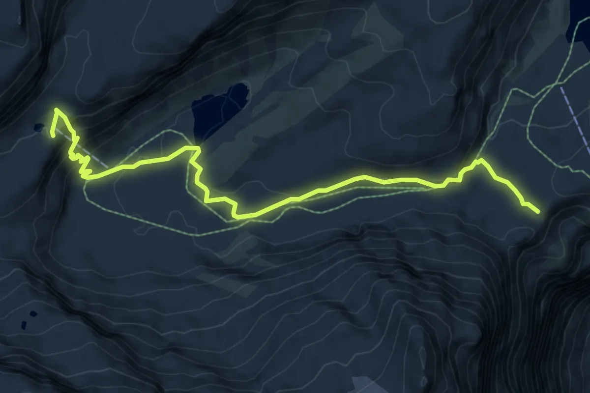
Medium · Cabin
Gemmipass – Lämmerenhütte
8.5 km · ↑ 312 m · 2 h 41 min · 13 km away
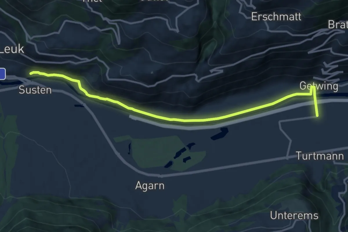
Medium · Trail
Leuk Bahnhof Turtmann
11.1 km · ↑ 138 m · 2 h 56 min · 13 km away
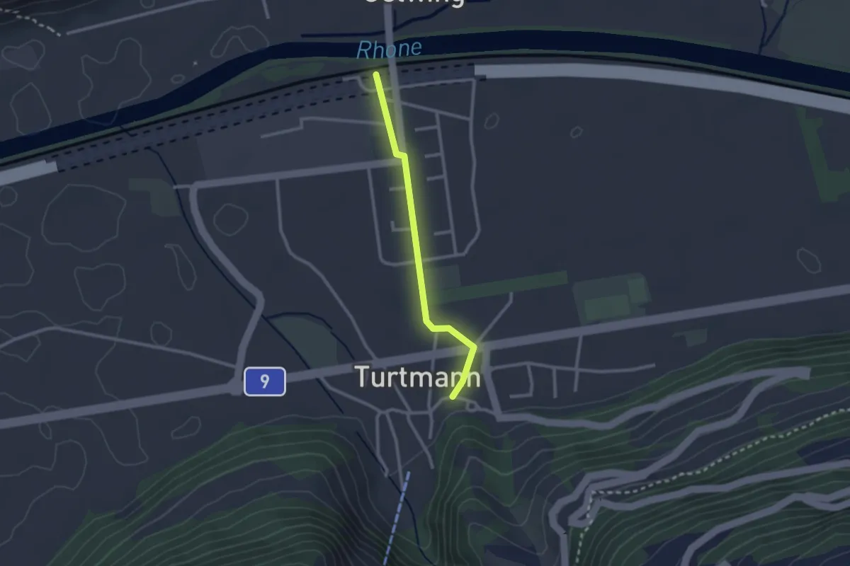
Easy · Trail
Bahnhof – Turtmann Dorf
2.2 km · ↑ 13 m · 33 min · 13 km away
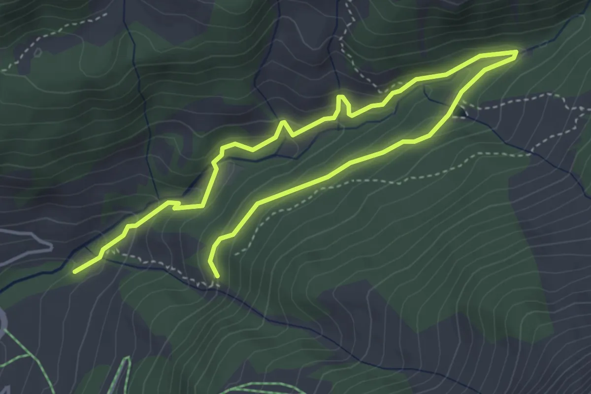
Medium · Trail
Reservoir Heilbad
6.2 km · ↑ 364 m · 2 h 15 min · 13 km away
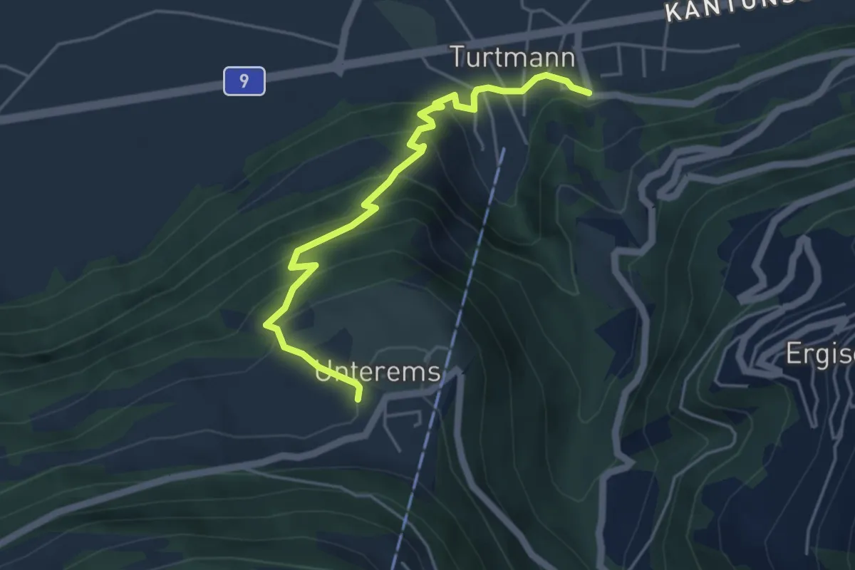
Medium · Trail
Turtmann – Unterems
4.5 km · ↑ 367 m · 1 h 52 min · 13 km away
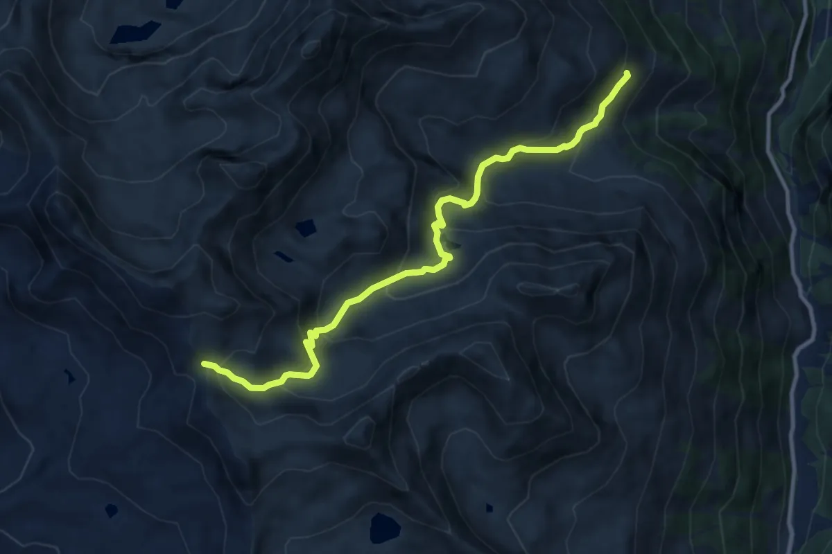
Medium · Trail
Vorsass – Pas de Boeuf
10.0 km · ↑ 731 m · 3 h 56 min · 13 km away
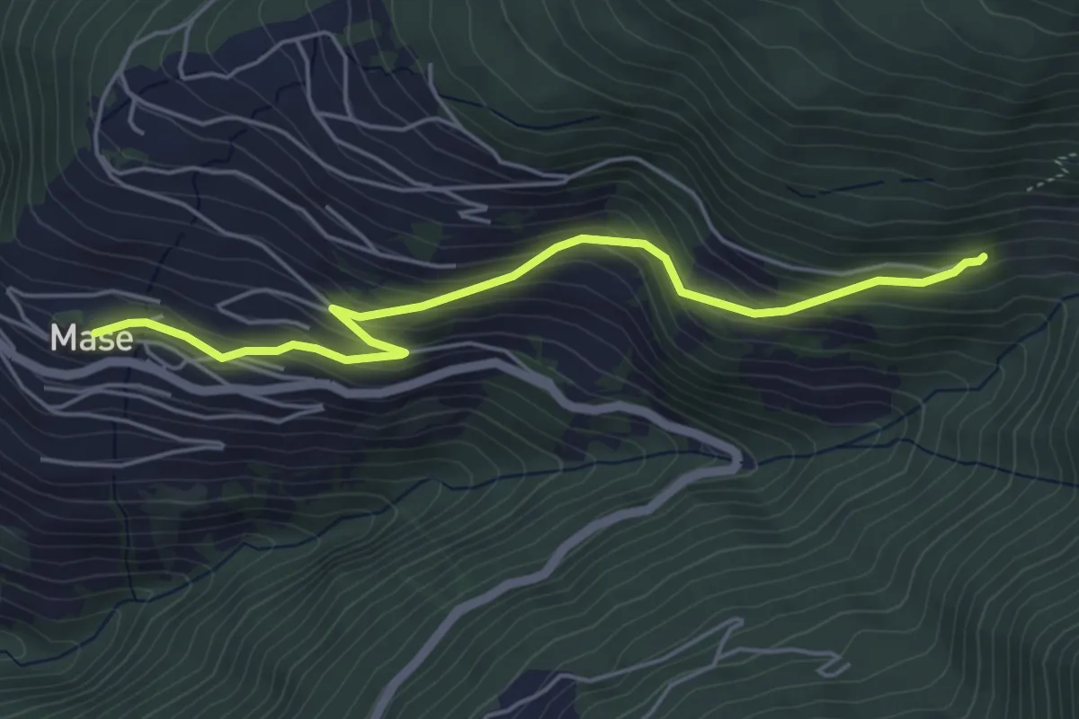
Easy · Trail
Mase – Mayen-des-Praz
5.2 km · ↑ 308 m · 1 h 53 min · 13 km away
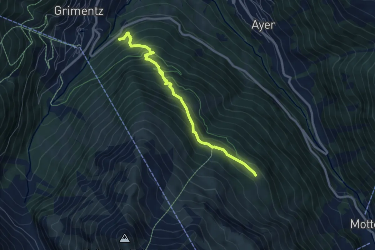
Medium · Trail
Grimentz – Le Biolec
6.1 km · ↑ 561 m · 2 h 39 min · 13 km away
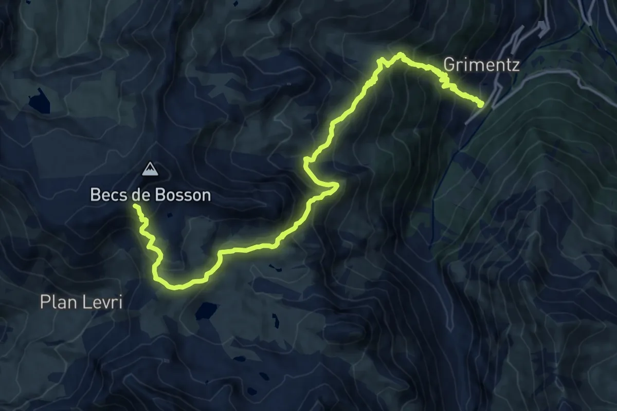
Demanding · Cabin
24-Chemin des cols alpins
18.5 km · ↑ 1487 m · 7 h 36 min · 13 km away
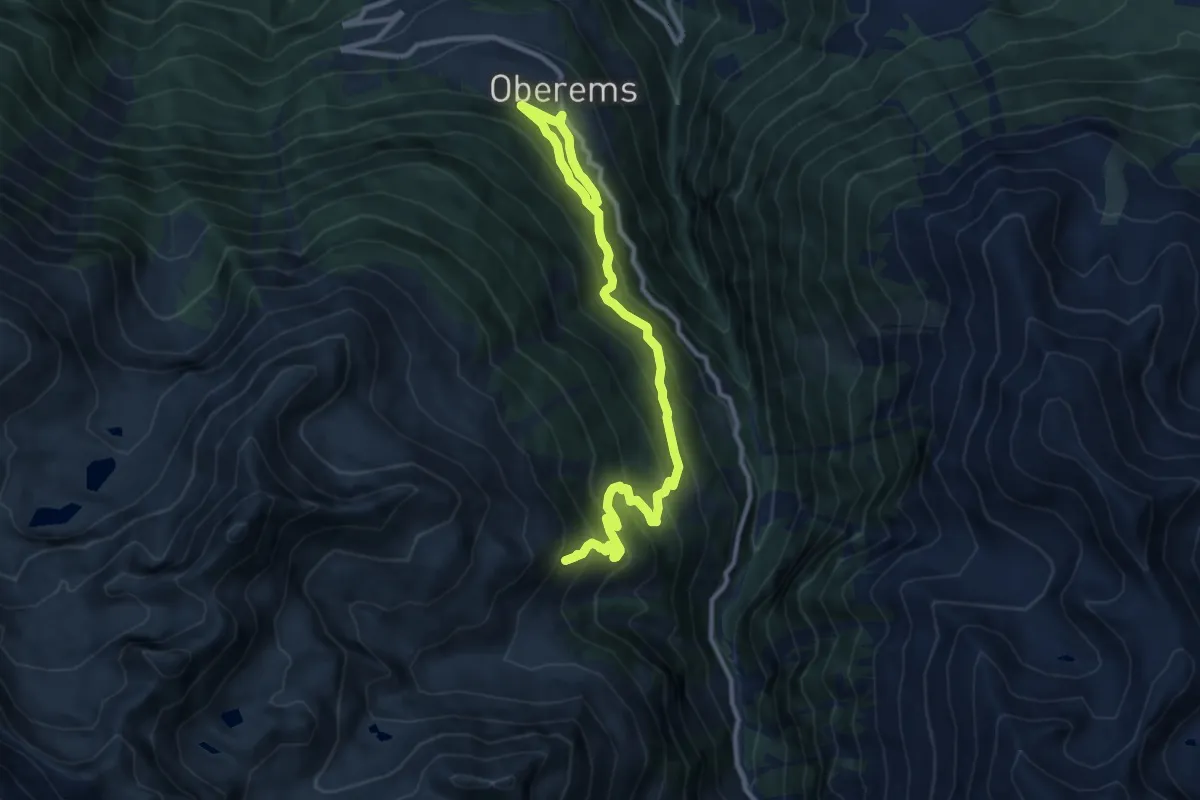
Demanding · Trail
Oberems – Vorsass
12.3 km · ↑ 1047 m · 5 h 11 min · 13 km away
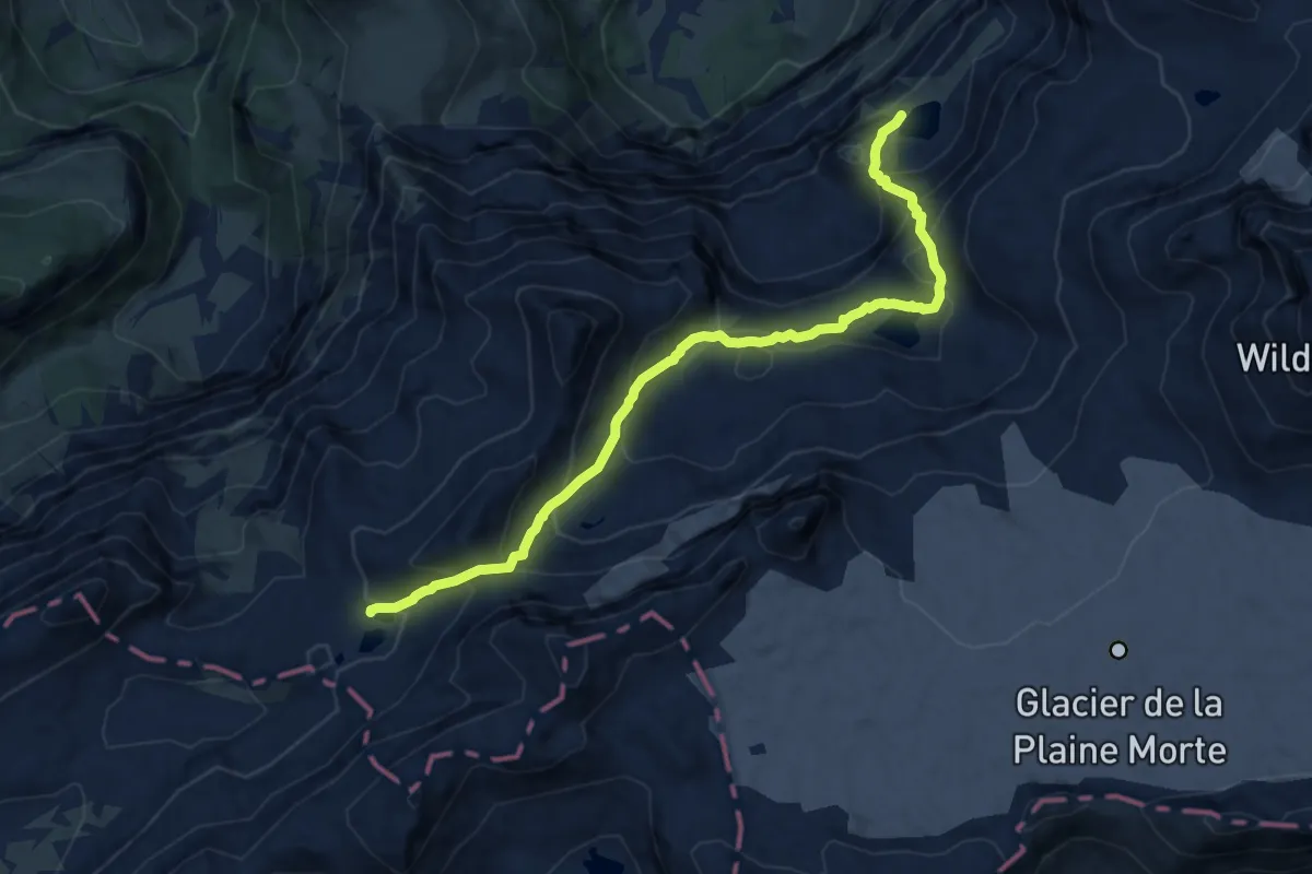
Demanding · Trail
Flueseeli – Rawilseeleni
10.7 km · ↑ 839 m · 4 h 20 min · 13 km away
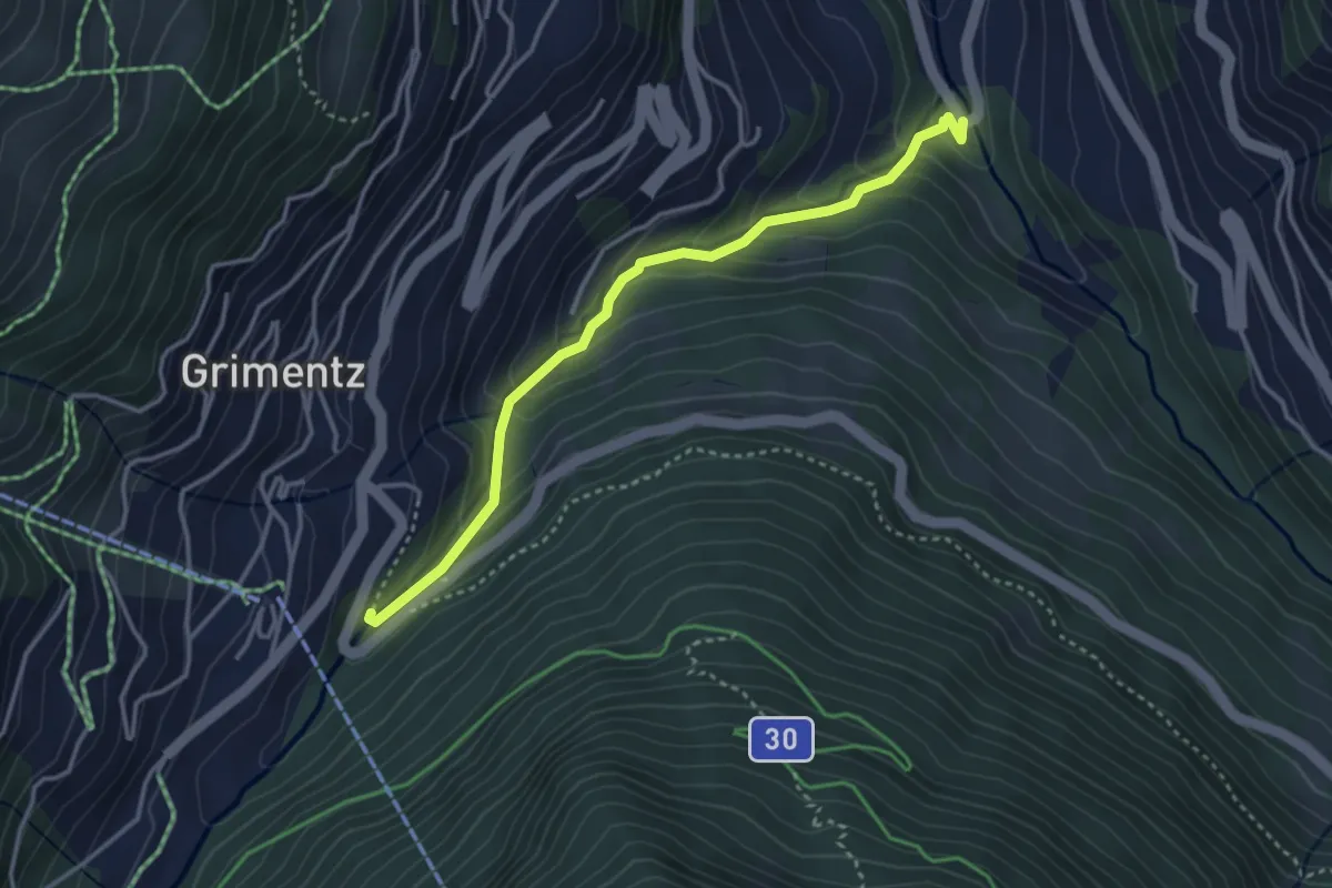
Easy · Trail
Mission – Grimentz
3.6 km · ↑ 268 m · 1 h 25 min · 13 km away
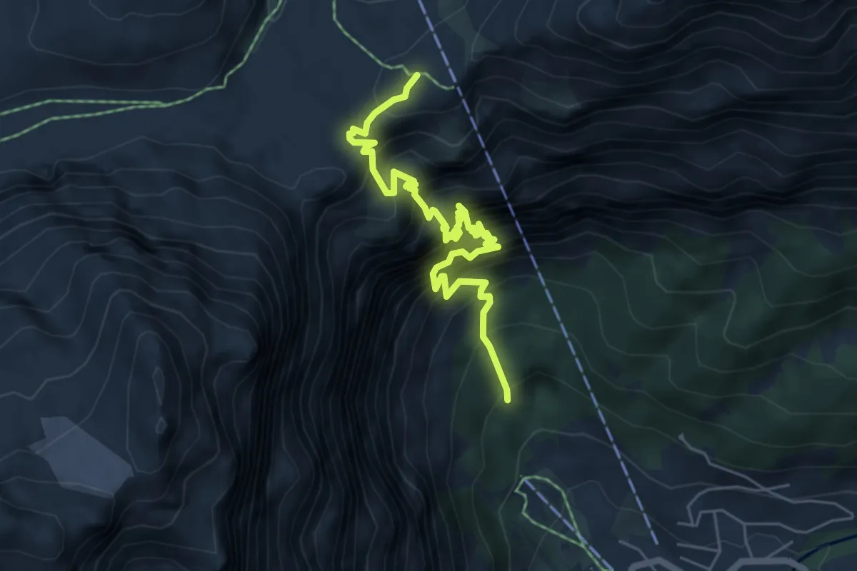
Demanding · Trail
Leukerbad Gemmi
6.1 km · ↑ 1376 m · 4 h 26 min · 13 km away
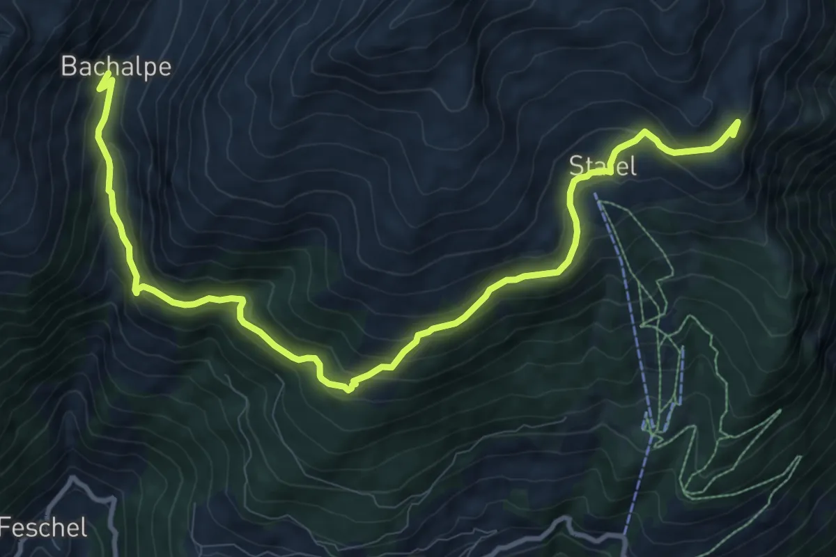
Medium · Summit
Bachalpe Obere Meiggu
12.4 km · ↑ 684 m · 4 h 25 min · 13 km away
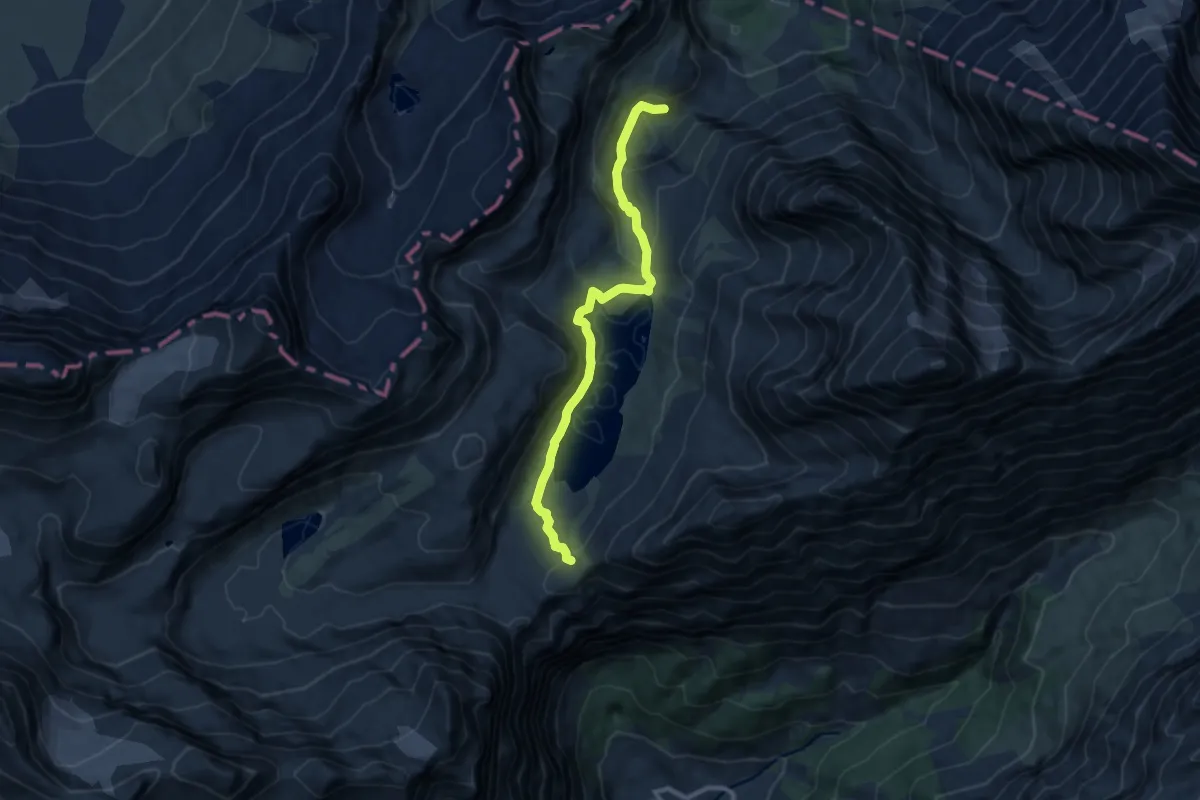
Medium · Trail
Gemmipass Schwarenbach
9.8 km · ↑ 455 m · 3 h 18 min · 14 km away
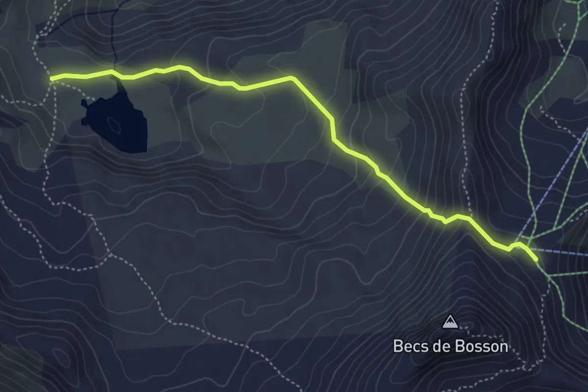
Medium · Trail
Le Louché Lac – Col du Louché
4.9 km · ↑ 342 m · 1 h 54 min · 14 km away
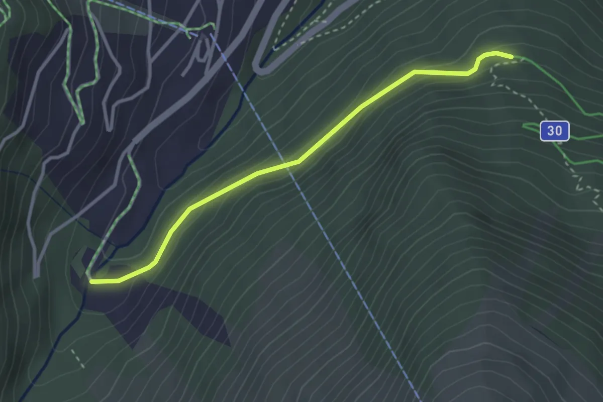
Medium · Trail
La Gougra – La Cherna
2.9 km · ↑ 140 m · 1 h · 14 km away
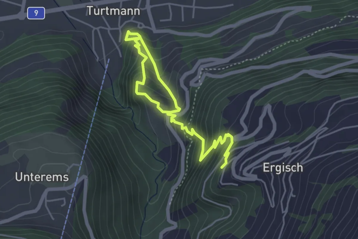
Medium · Trail
Ergisch – Turtmann
5.4 km · ↑ 509 m · 2 h 22 min · 14 km away
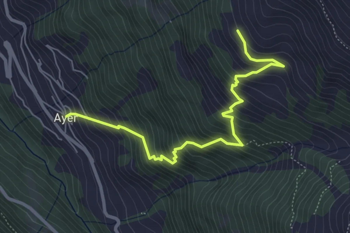
Medium · Trail
Ayer – Le Chiesso
5.8 km · ↑ 722 m · 2 h 56 min · 14 km away
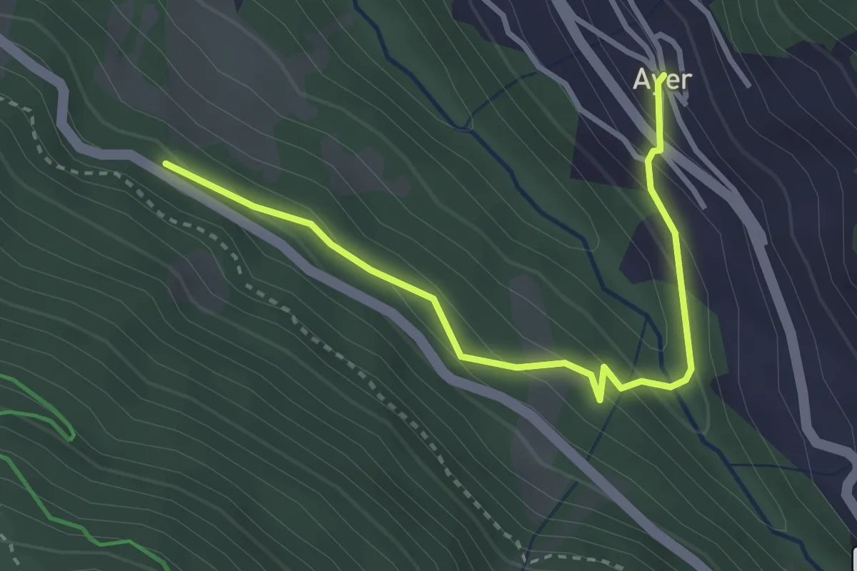
Easy · Trail
Ayer – Les Morasses
3.4 km · ↑ 229 m · 1 h 17 min · 14 km away
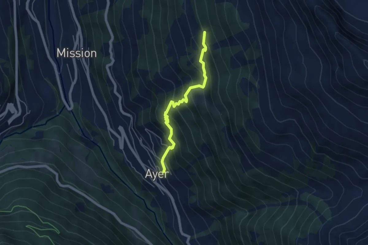
Medium · Trail
Ayer – Copaté
4.3 km · ↑ 495 m · 2 h 5 min · 14 km away
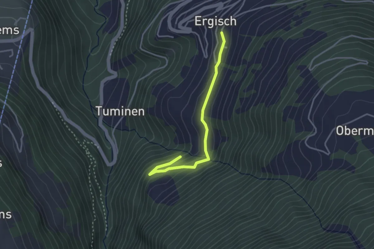
Easy · Trail
Ergisch – Chummugrabe
3.0 km · ↑ 134 m · 59 min · 14 km away
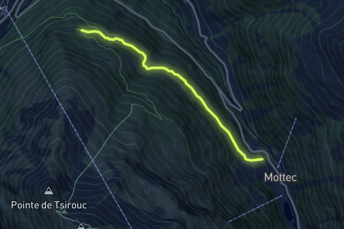
Medium · Trail
Mottec – Route du Biolec
6.4 km · ↑ 325 m · 2 h 12 min · 14 km away
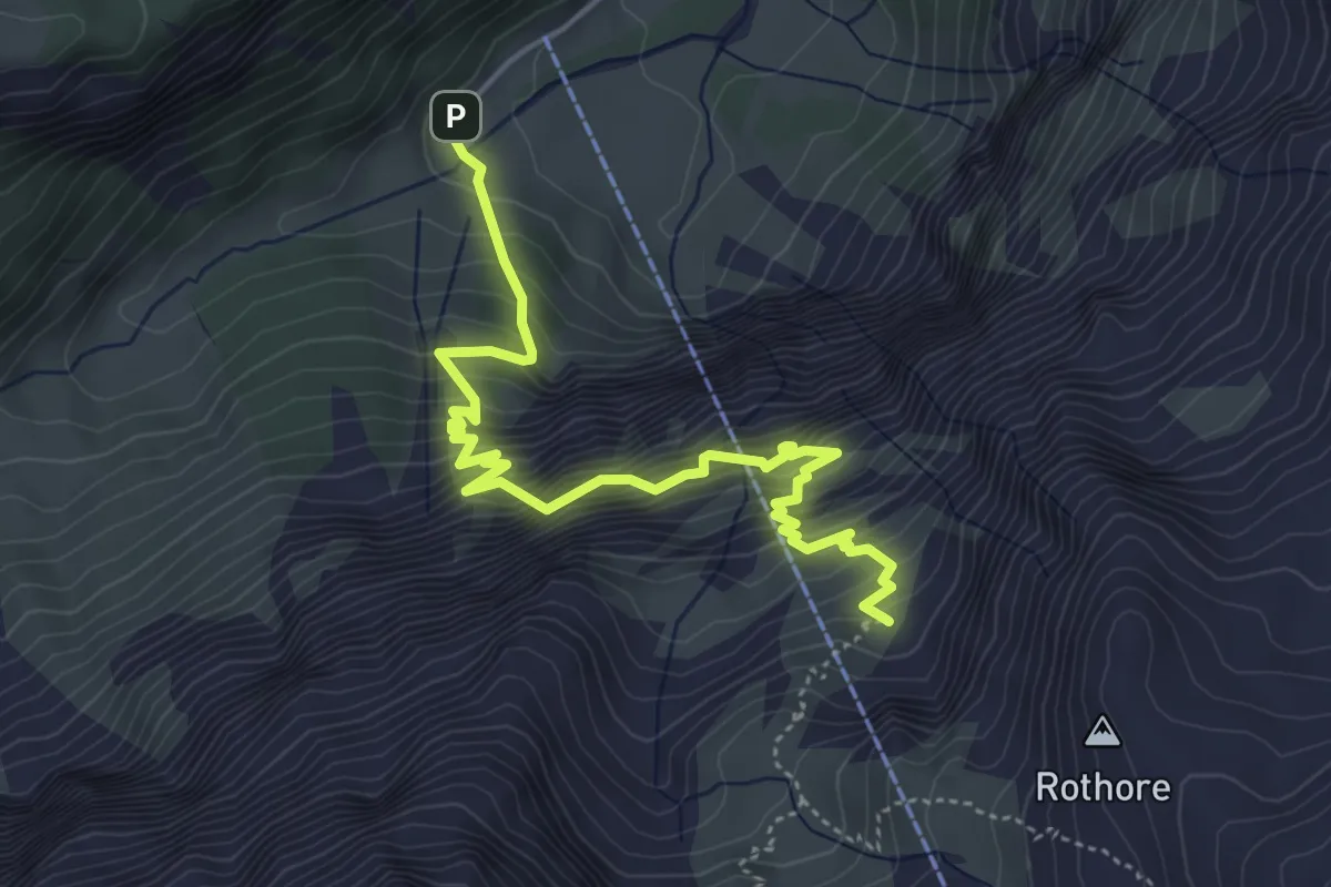
Demanding · Summit
Iffigenalp-Stierenläger
5.4 km · ↑ 826 m · 3 h 3 min · 14 km away
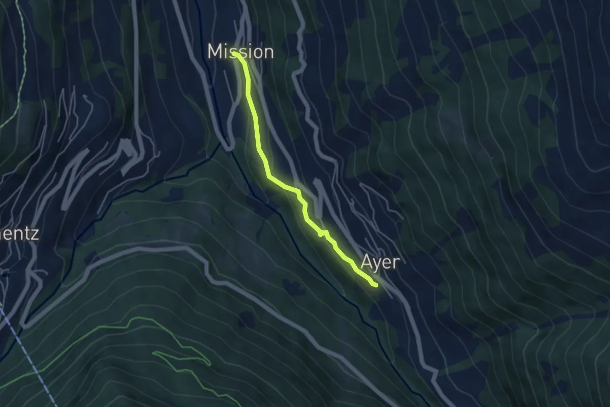
Easy · Trail
Ayer – Mission
3.6 km · ↑ 156 m · 1 h 11 min · 14 km away
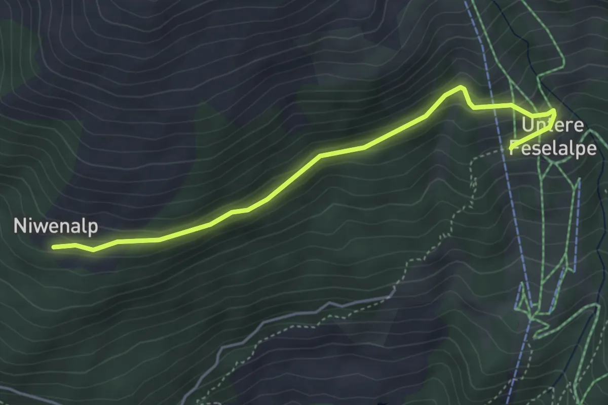
Easy · Trail
Niwenalp – Underi Fäslialpu
4.4 km · ↑ 206 m · 1 h 29 min · 14 km away
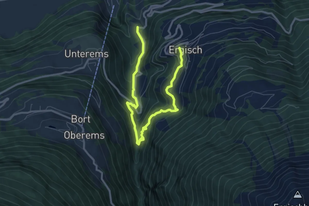
Medium · Trail
Ergisch – Zum Chriz
8.5 km · ↑ 565 m · 3 h 14 min · 14 km away
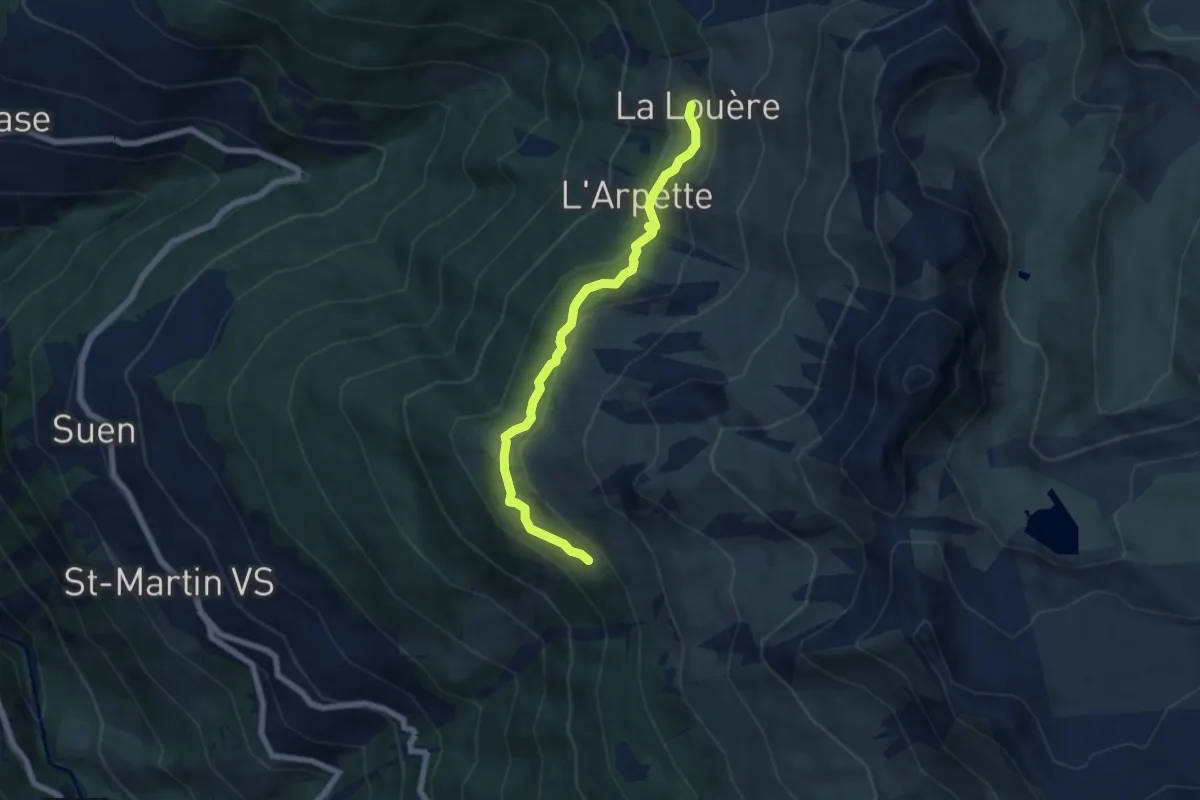
Easy · Cabin
La Louère – Lovégno
6.2 km · ↑ 262 m · 2 h 2 min · 14 km away
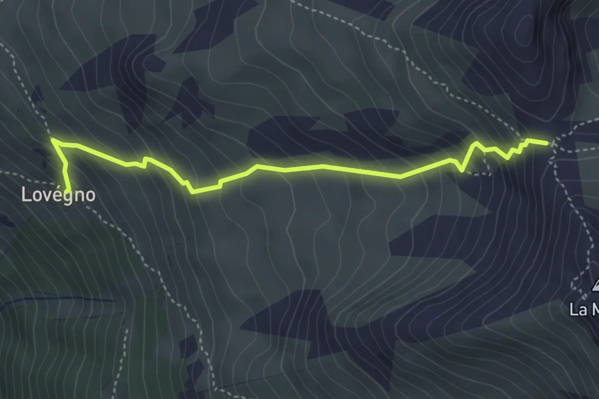
Medium · Trail
Lovégno – Pas de Lovègno
4.0 km · ↑ 516 m · 2 h 4 min · 14 km away
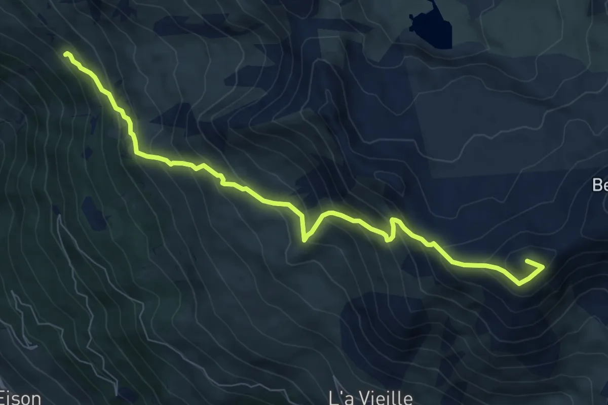
Demanding · Summit
Lovégno – Col de la Tsevalire
8.6 km · ↑ 819 m · 3 h 48 min · 14 km away
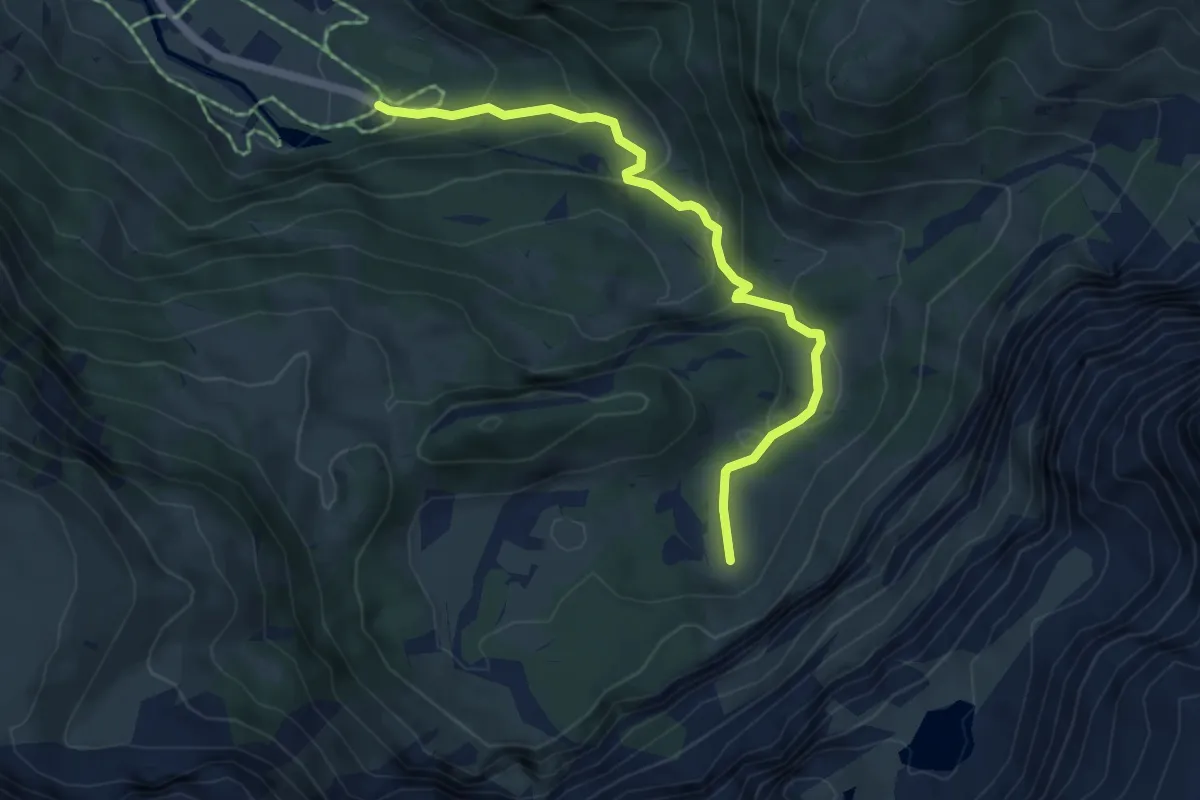
Medium · Trail
Simmefäll – Sibe Brünne
5.4 km · ↑ 321 m · 1 h 59 min · 14 km away
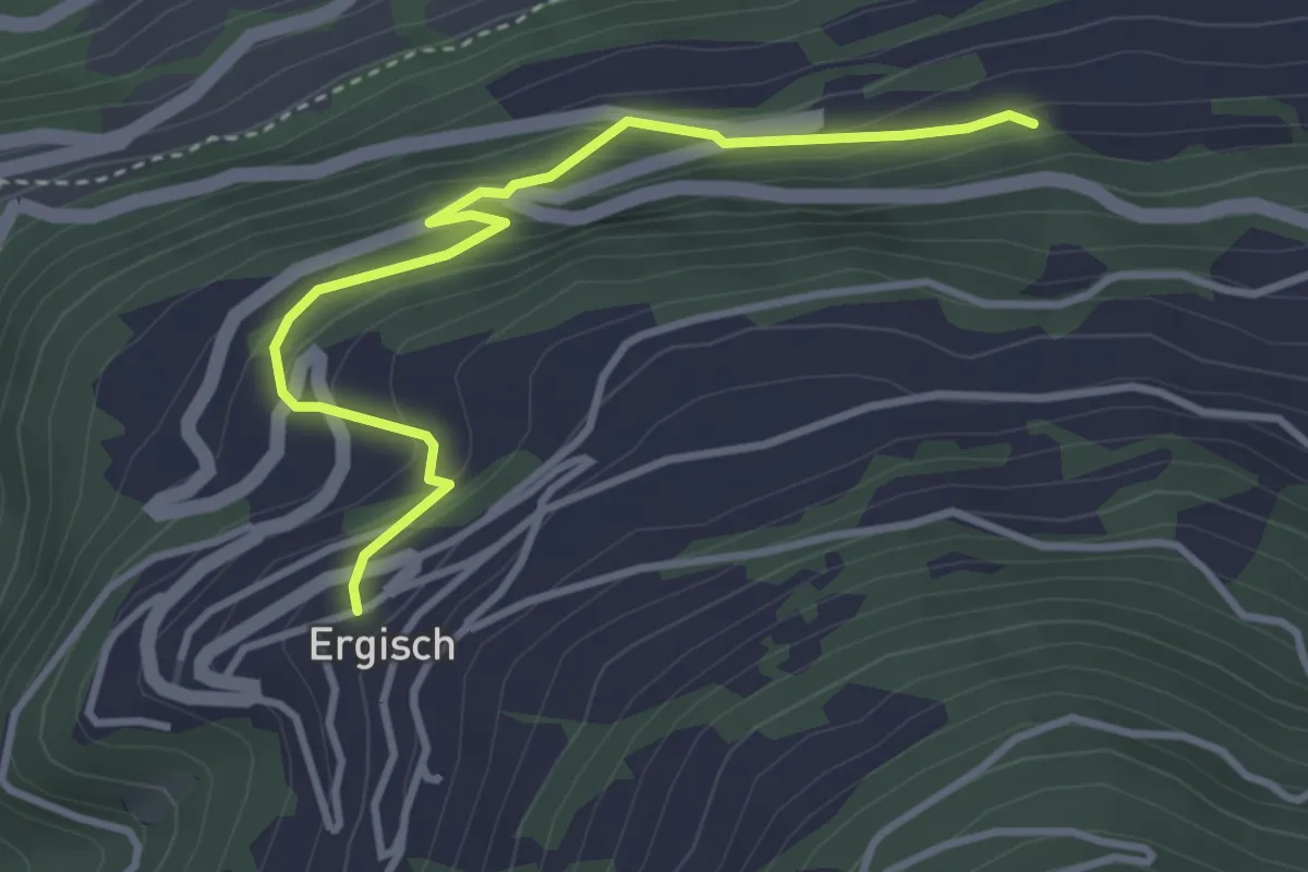
Easy · Trail
Ergisch – Ober Ried
3.6 km · ↑ 295 m · 1 h 29 min · 14 km away
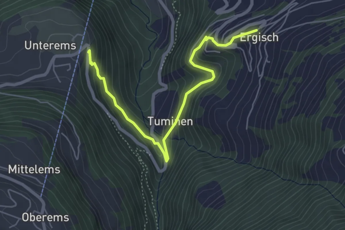
Medium · Trail
Ergisch – Unterems
5.2 km · ↑ 347 m · 1 h 59 min · 14 km away
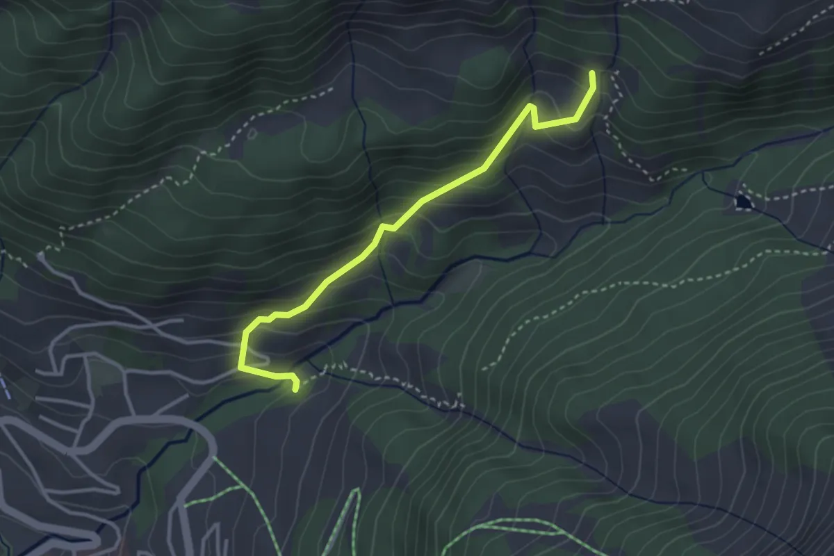
Easy · Trail
Heibad Dortruweid
3.2 km · ↑ 303 m · 1 h 24 min · 14 km away
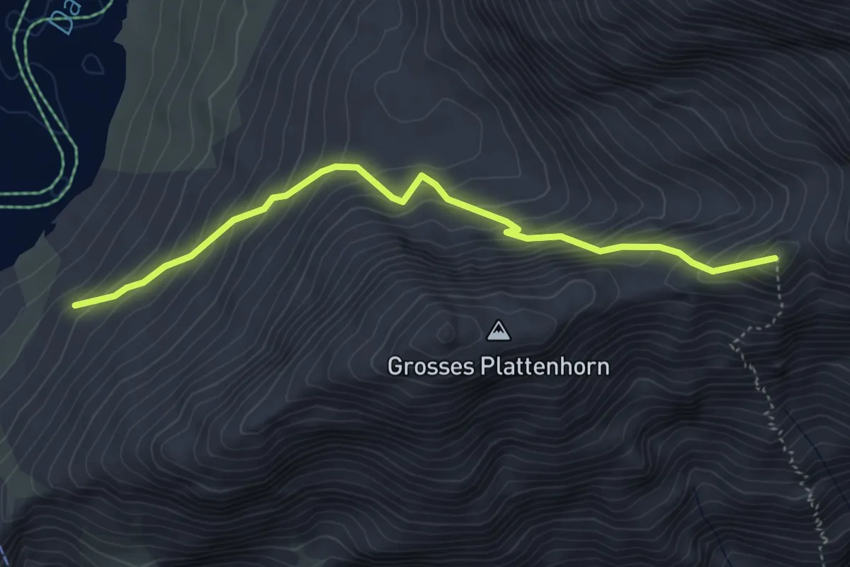
Medium · Trail
Daubensee – alte Gemmi
4.4 km · ↑ 545 m · 2 h 14 min · 14 km away
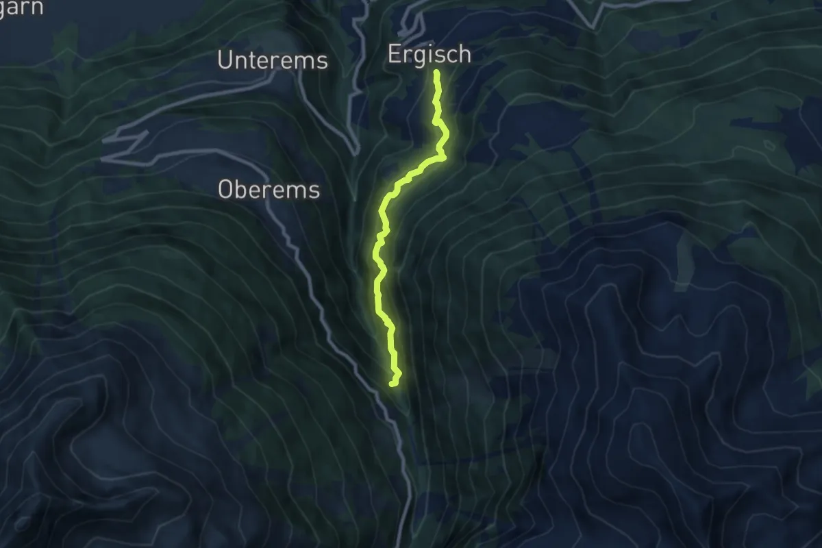
Demanding · Trail
Ergisch – Toibuwald
7.1 km · ↑ 829 m · 3 h 29 min · 14 km away
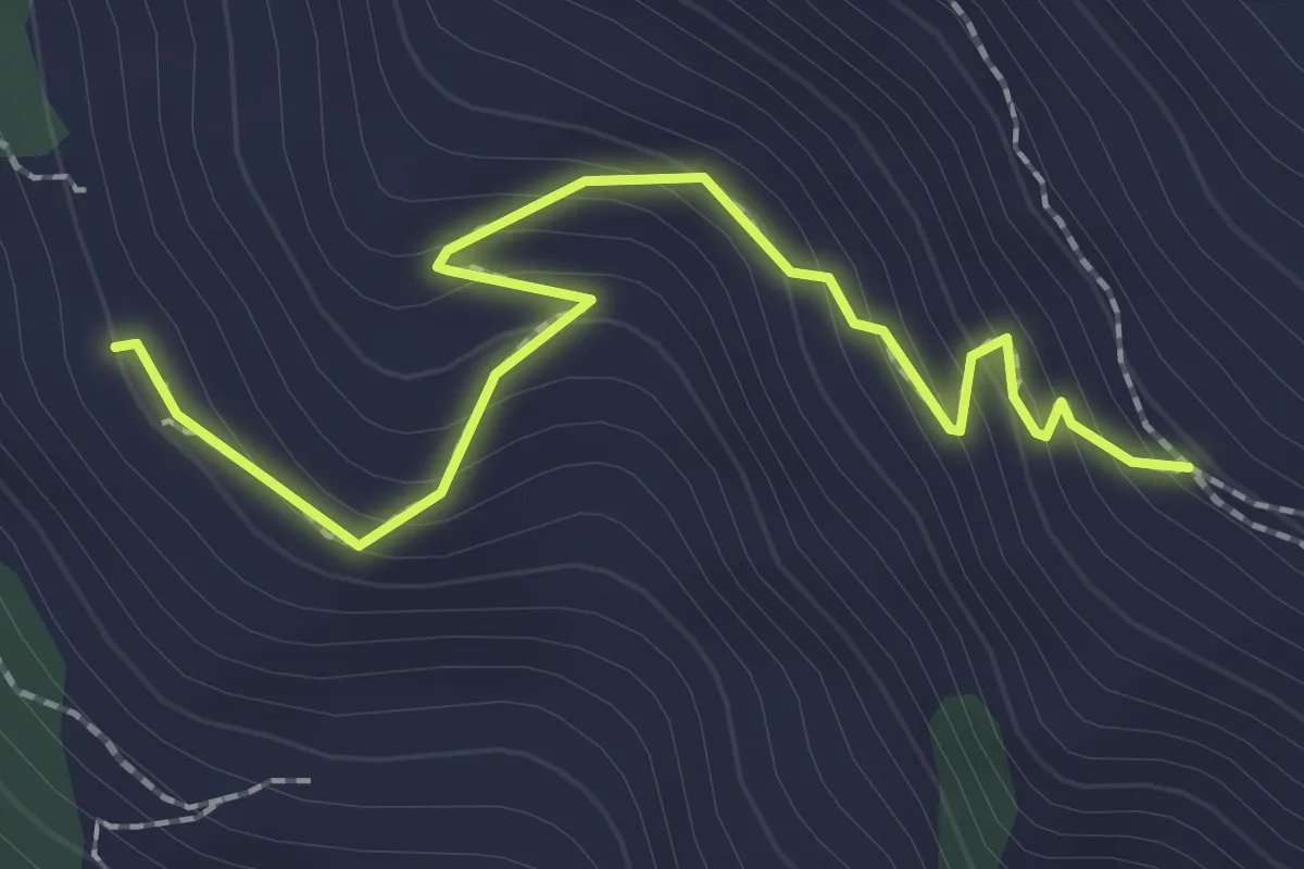
Easy · Trail
Nava – Bella Lé
2.3 km · ↑ 217 m · 1 h 1 min · 14 km away
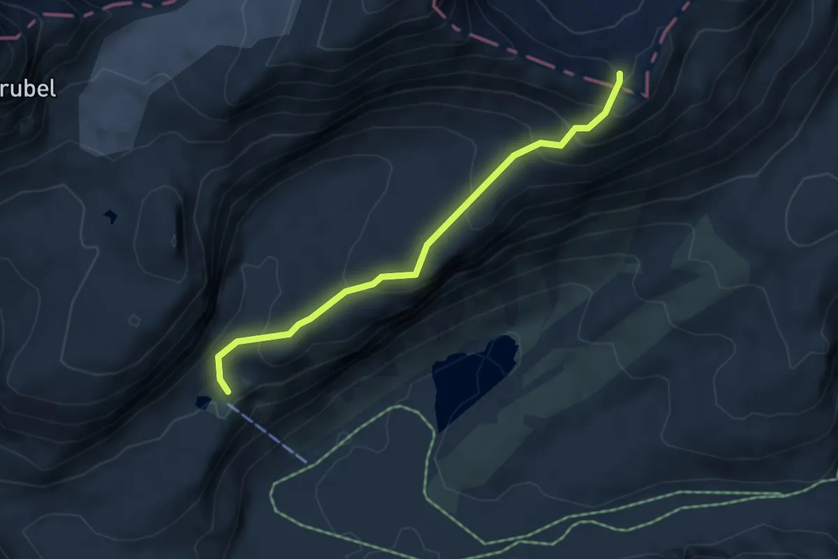
Expert · Cabin
Lämmernhütte – Rote Totz Lücke
4.4 km · ↑ 317 m · 1 h 44 min · 14 km away
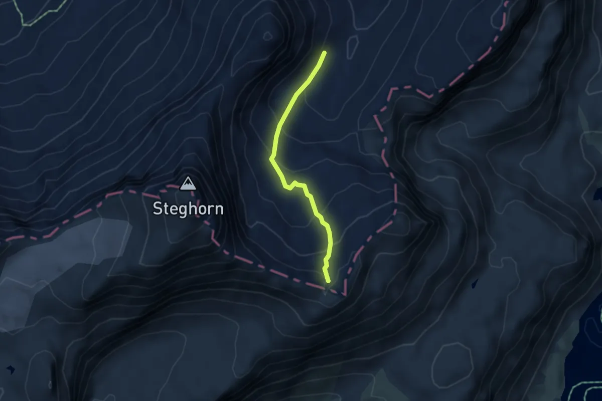
Expert · Trail
Rote Totz Lücke – P2540
3.5 km · ↑ 269 m · 1 h 24 min · 14 km away
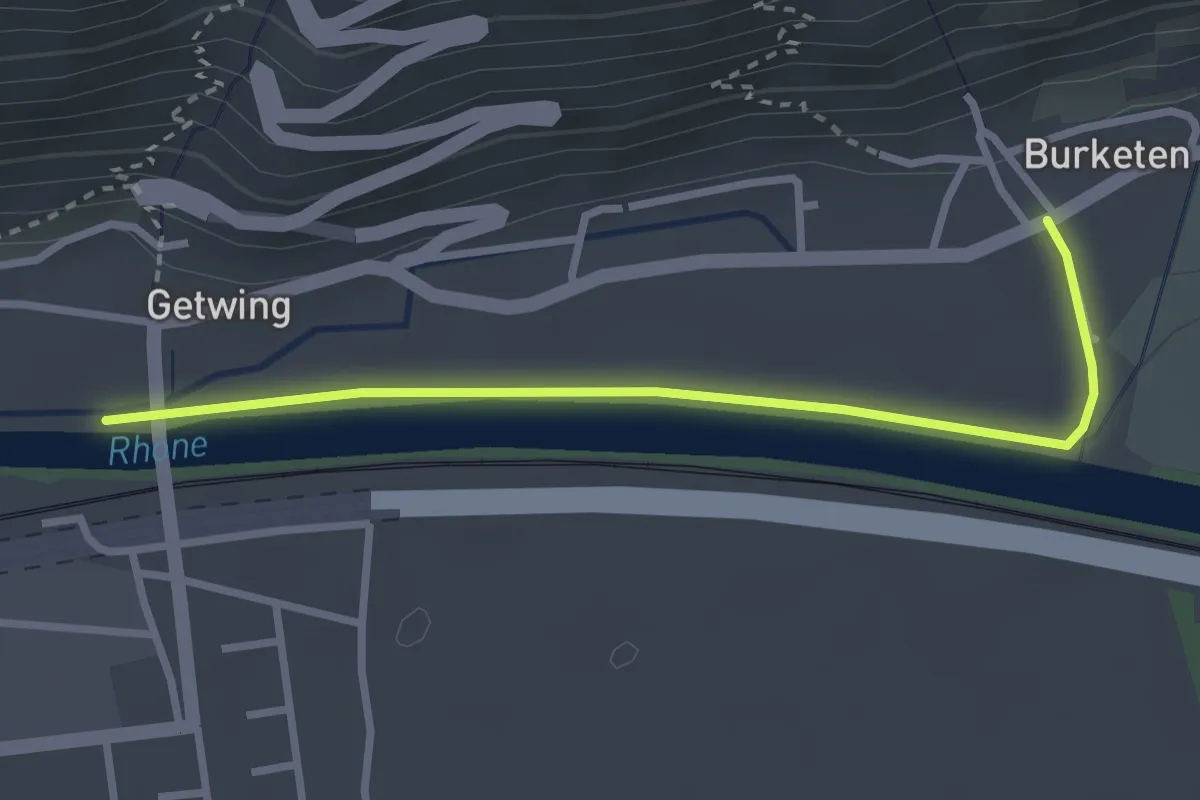
Easy · Trail
Ober Getwing – Niedergampel
2.9 km · ↑ 9 m · 42 min · 14 km away
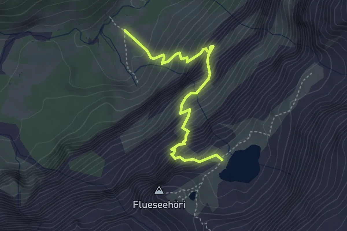
Demanding · Trail
Sibe Brünne - Rezlibergli – Flueseeli
4.0 km · ↑ 694 m · 2 h 26 min · 14 km away
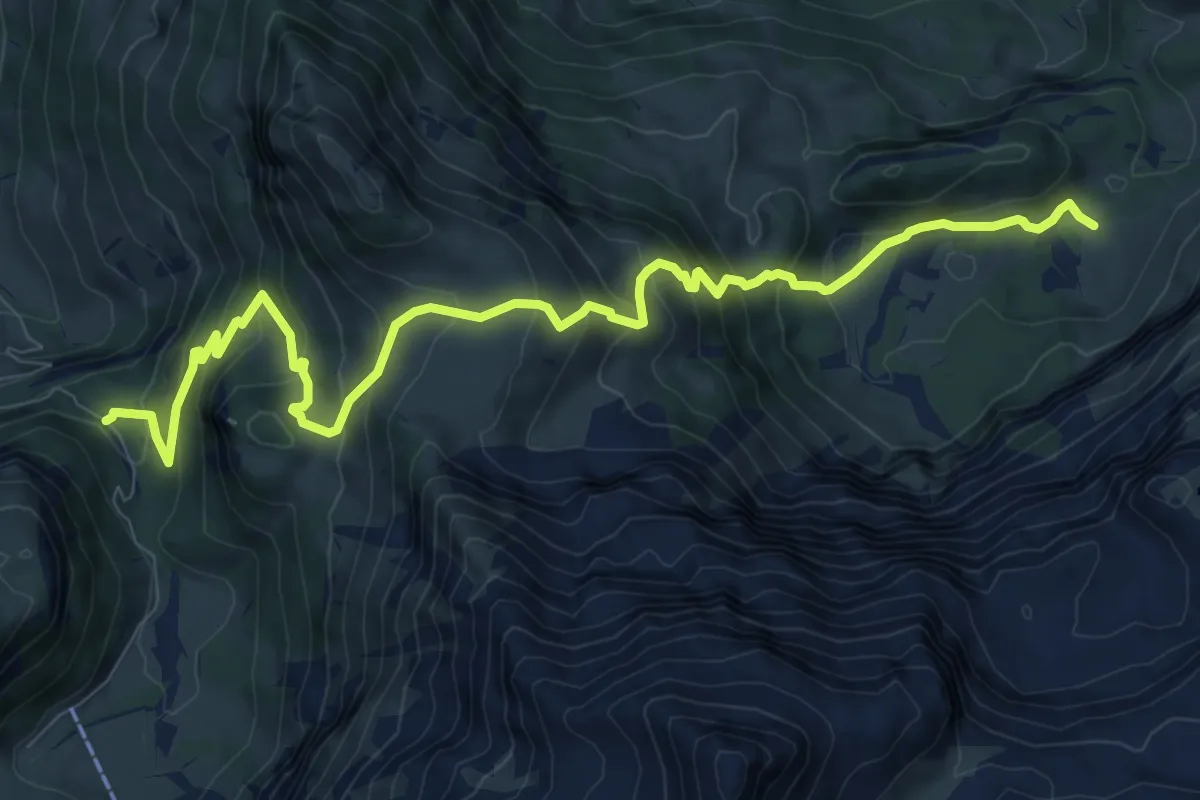
Demanding · Trail
Lenk (Ritzdole) - Lenk (Sibe Brünne - Rezlibergli)
11.2 km · ↑ 872 m · 4 h 32 min · 14 km away
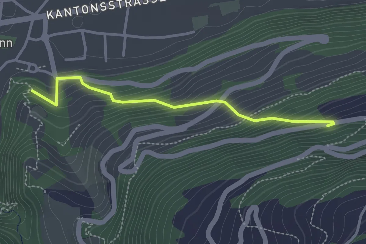
Easy · Trail
Ergisch – Turtmann
2.4 km · ↑ 267 m · 1 h 9 min · 14 km away
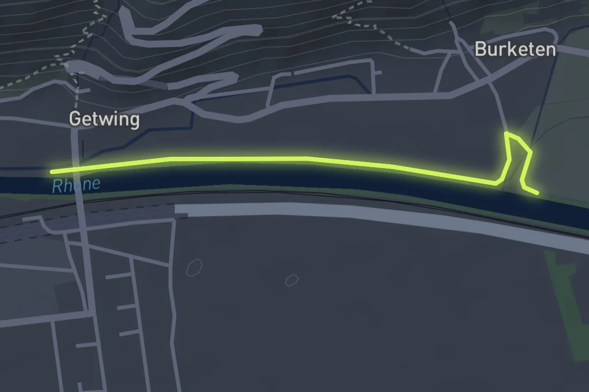
Easy · Trail
Ober Getwing – Gampel
3.0 km · ↑ 0 m · 43 min · 14 km away