Trails near Sierre
266 hikes starting within 15 km, nearest first.
Nearest first, page 6 of 6
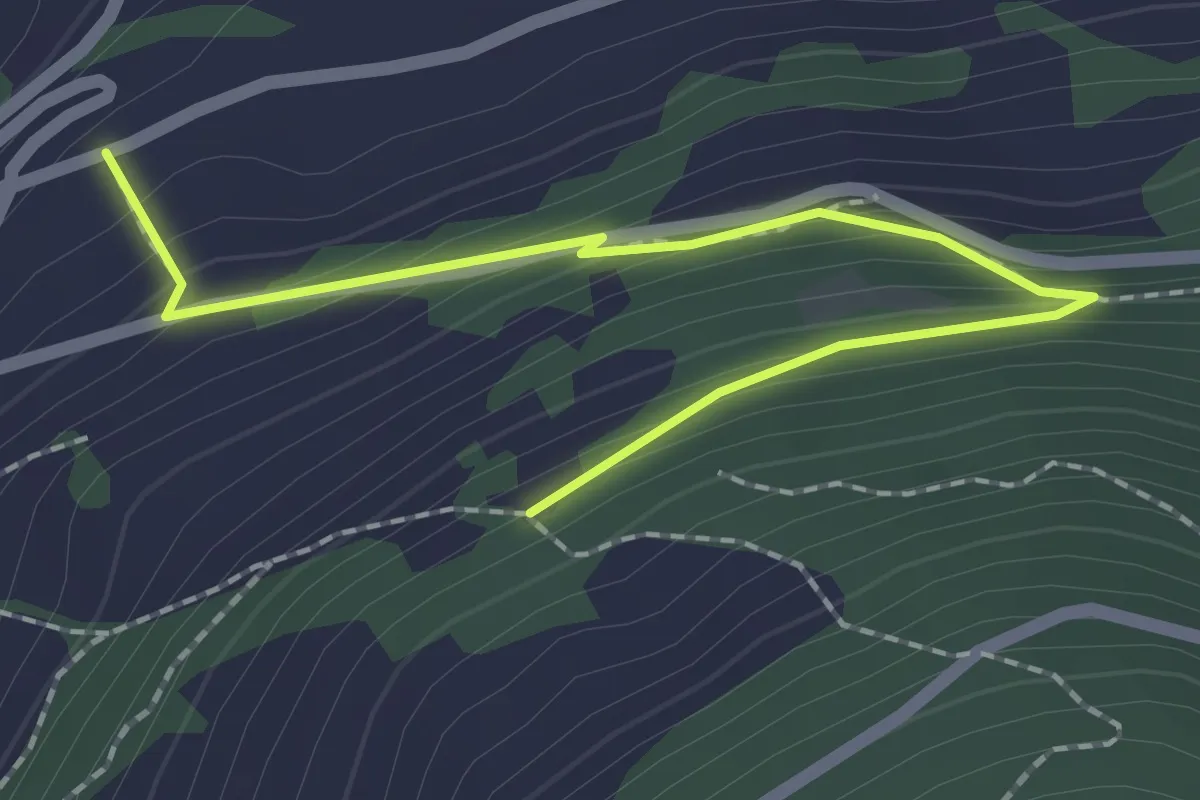
Easy · Trail
Zwischenmatten – Ritinustrasse
2.2 km · ↑ 165 m · 53 min · 14 km away
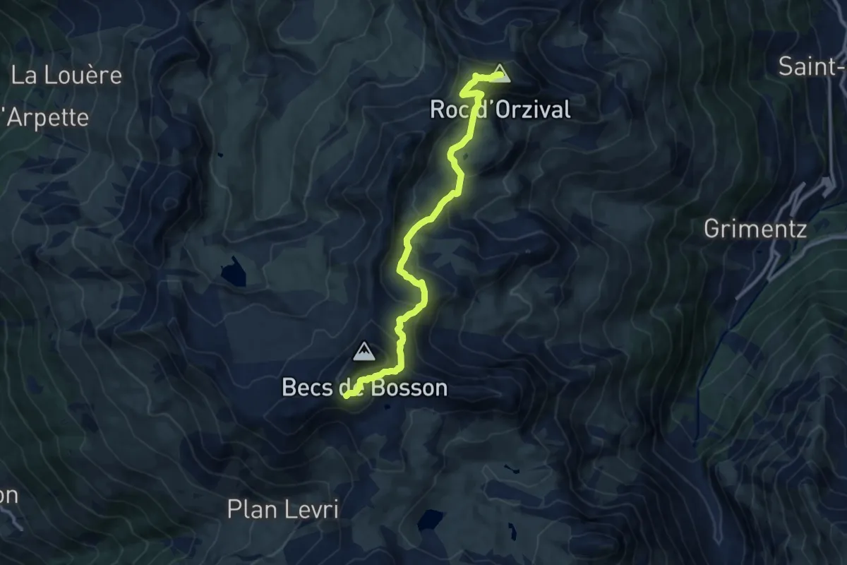
Medium · Summit
Becs de Bosson – Roc d'Orzival
10.7 km · ↑ 669 m · 3 h 59 min · 14 km away
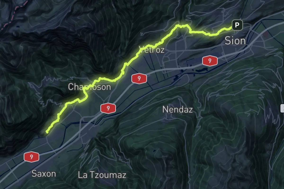
Demanding · Trail
02-Chemin du Vignoble
21.5 km · ↑ 879 m · 7 h 18 min · 14 km away
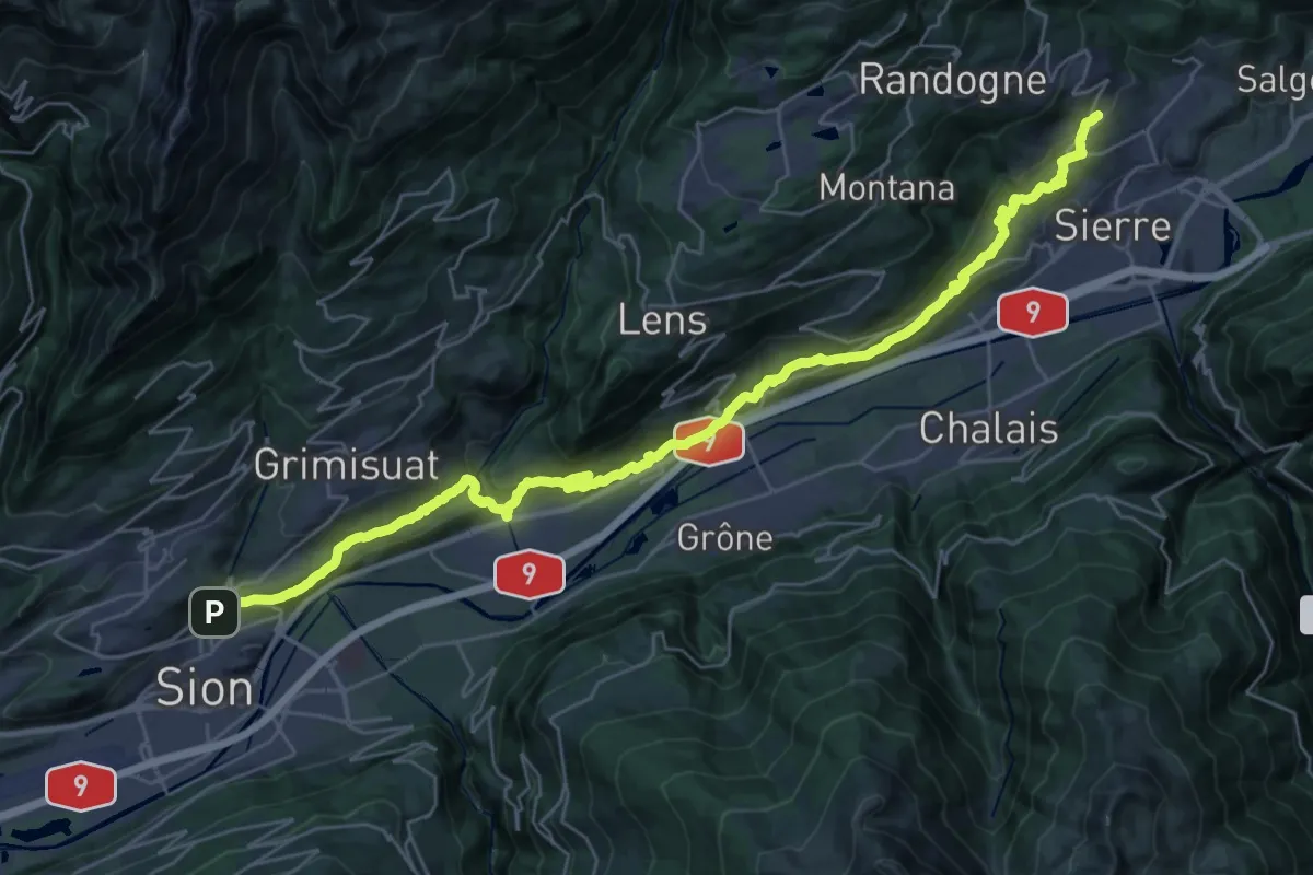
Demanding · Trail
03-Chemin du Vignoble
19.2 km · ↑ 842 m · 6 h 31 min · 14 km away
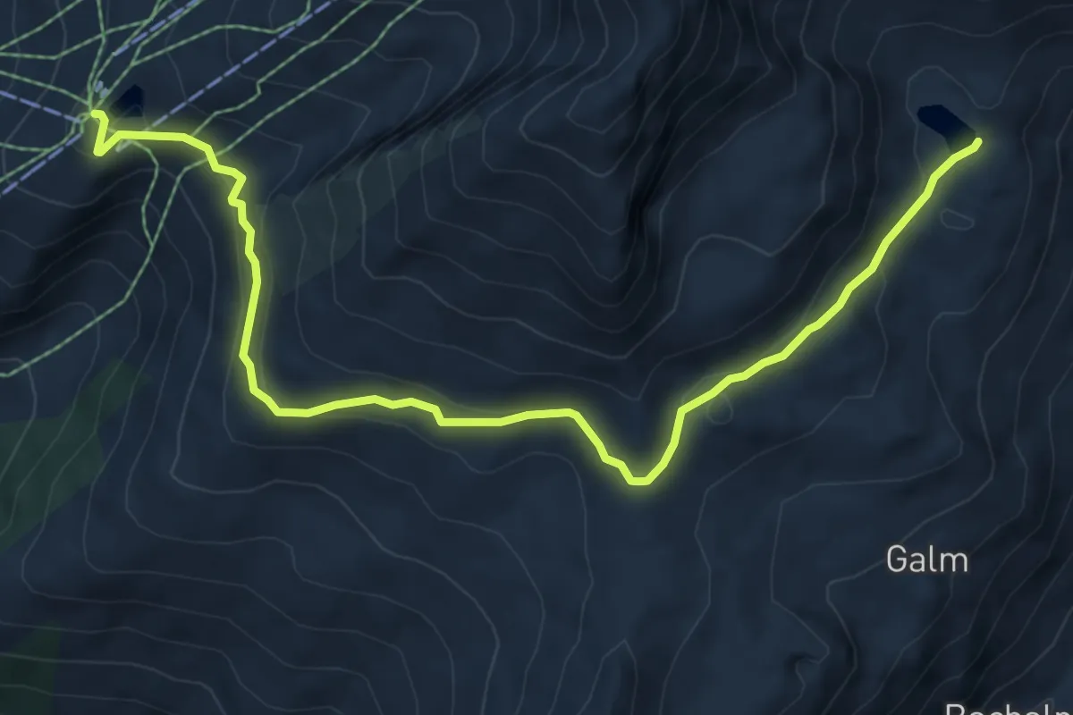
Medium · Trail
Rinderhütten Wysse See
8.3 km · ↑ 305 m · 2 h 37 min · 14 km away
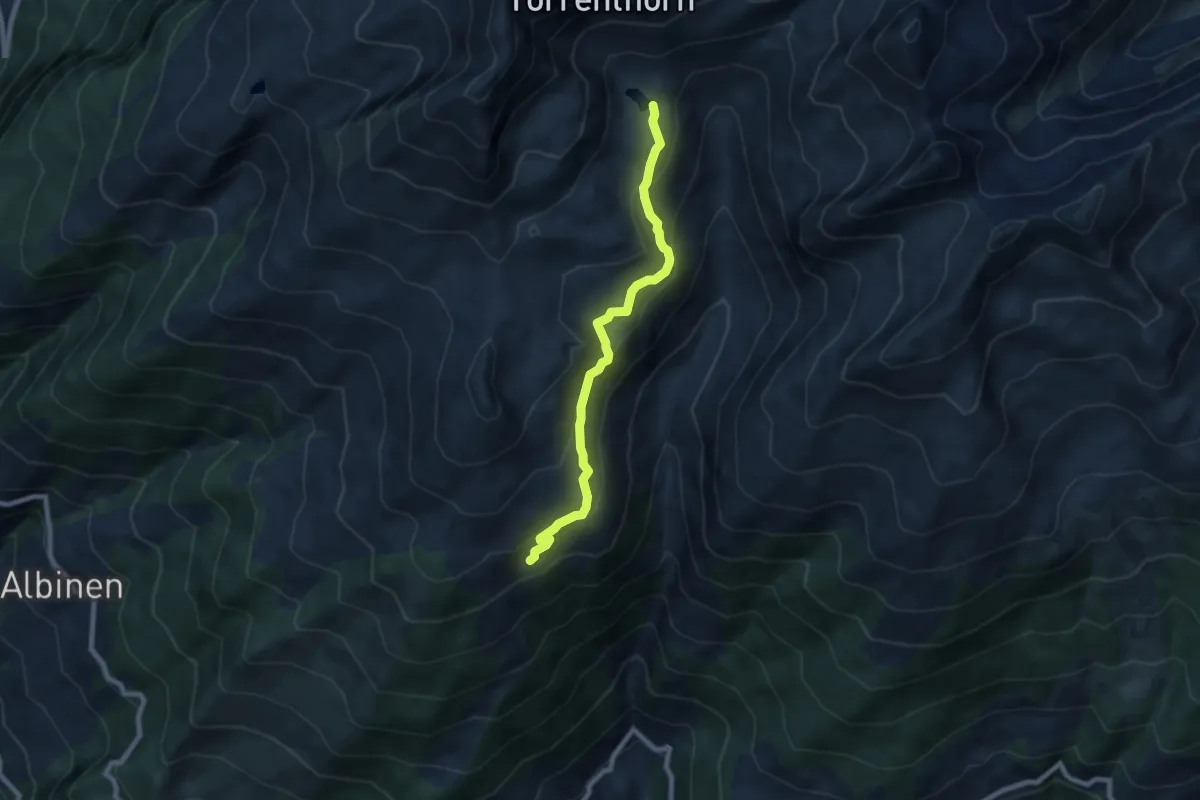
Medium · Trail
Uberu Wysse See
7.5 km · ↑ 369 m · 2 h 33 min · 14 km away
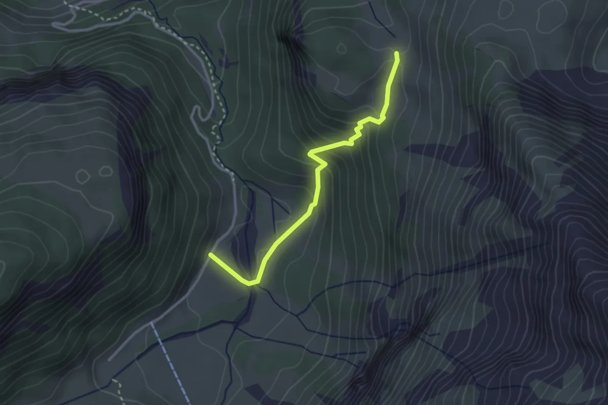
Easy · Trail
Iffigen Läger – Ritz
2.8 km · ↑ 230 m · 1 h 10 min · 14 km away
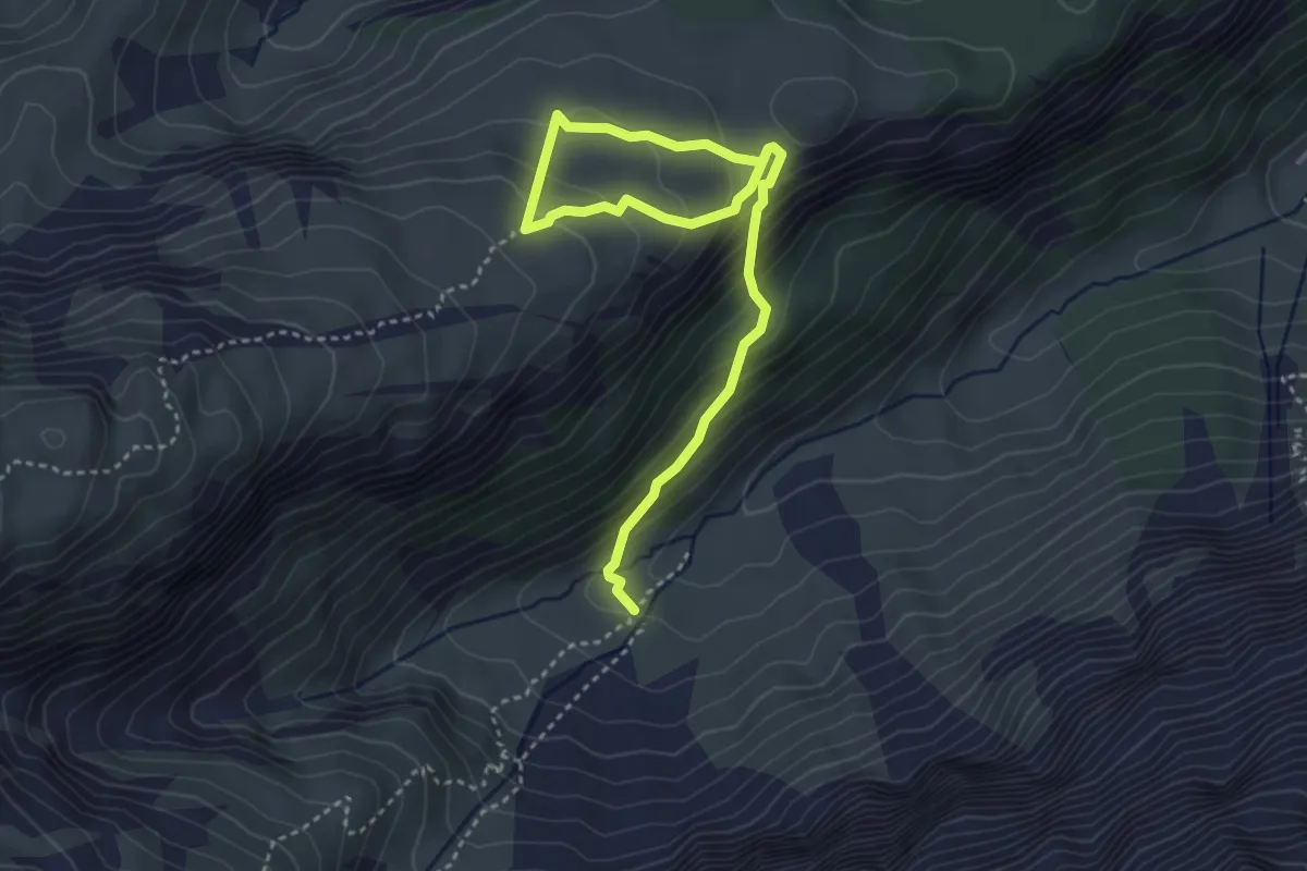
Medium · Trail
Groppi – Hoberg
4.6 km · ↑ 366 m · 1 h 52 min · 14 km away
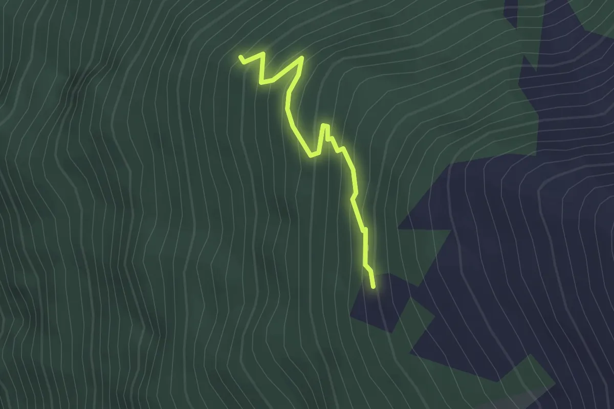
Medium · Trail
Zenrufinuwald – Sänntum Unnerstafil
2.1 km · ↑ 227 m · 59 min · 14 km away
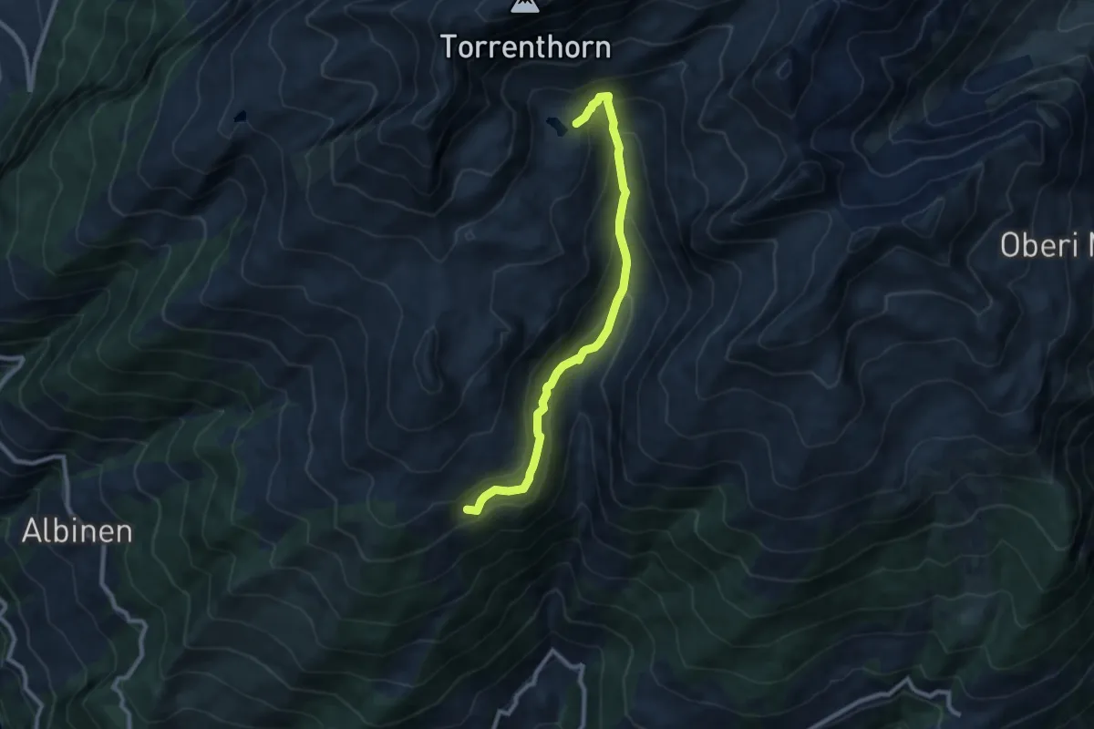
Medium · Trail
Uberu Wysse See
8.6 km · ↑ 533 m · 3 h 11 min · 14 km away
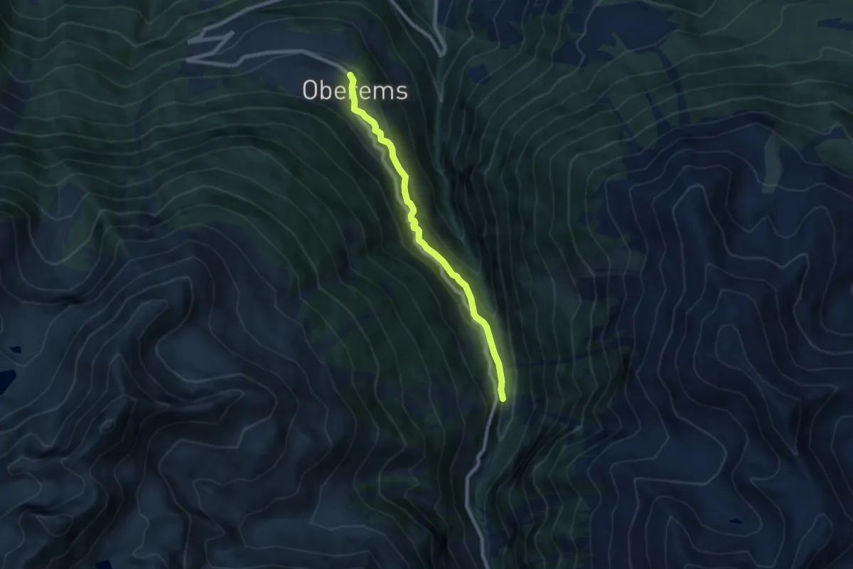
Medium · Trail
Oberems – Wänge
7.0 km · ↑ 377 m · 2 h 28 min · 14 km away
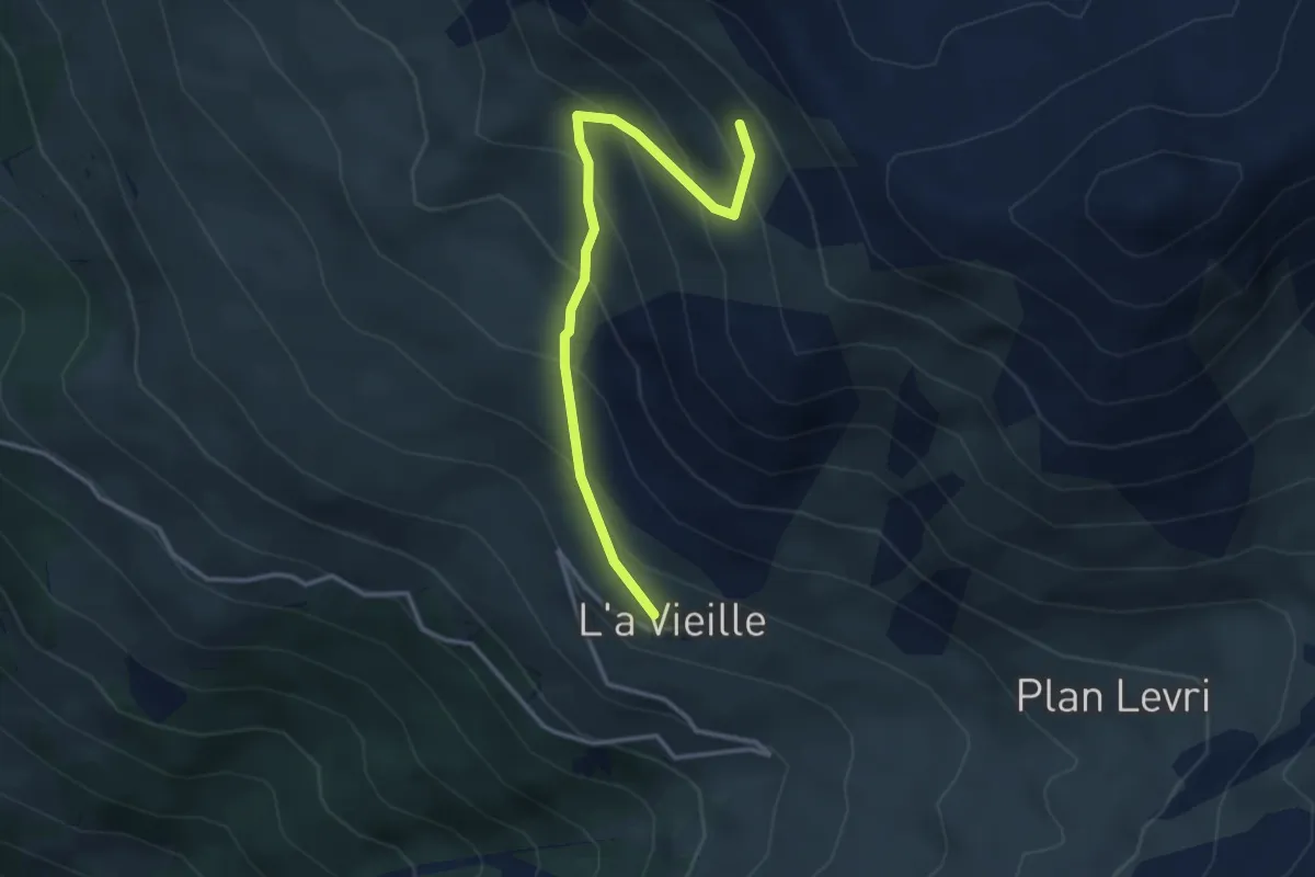
Medium · Trail
L'a Vieille – Grand Bandon
3.4 km · ↑ 353 m · 1 h 34 min · 15 km away
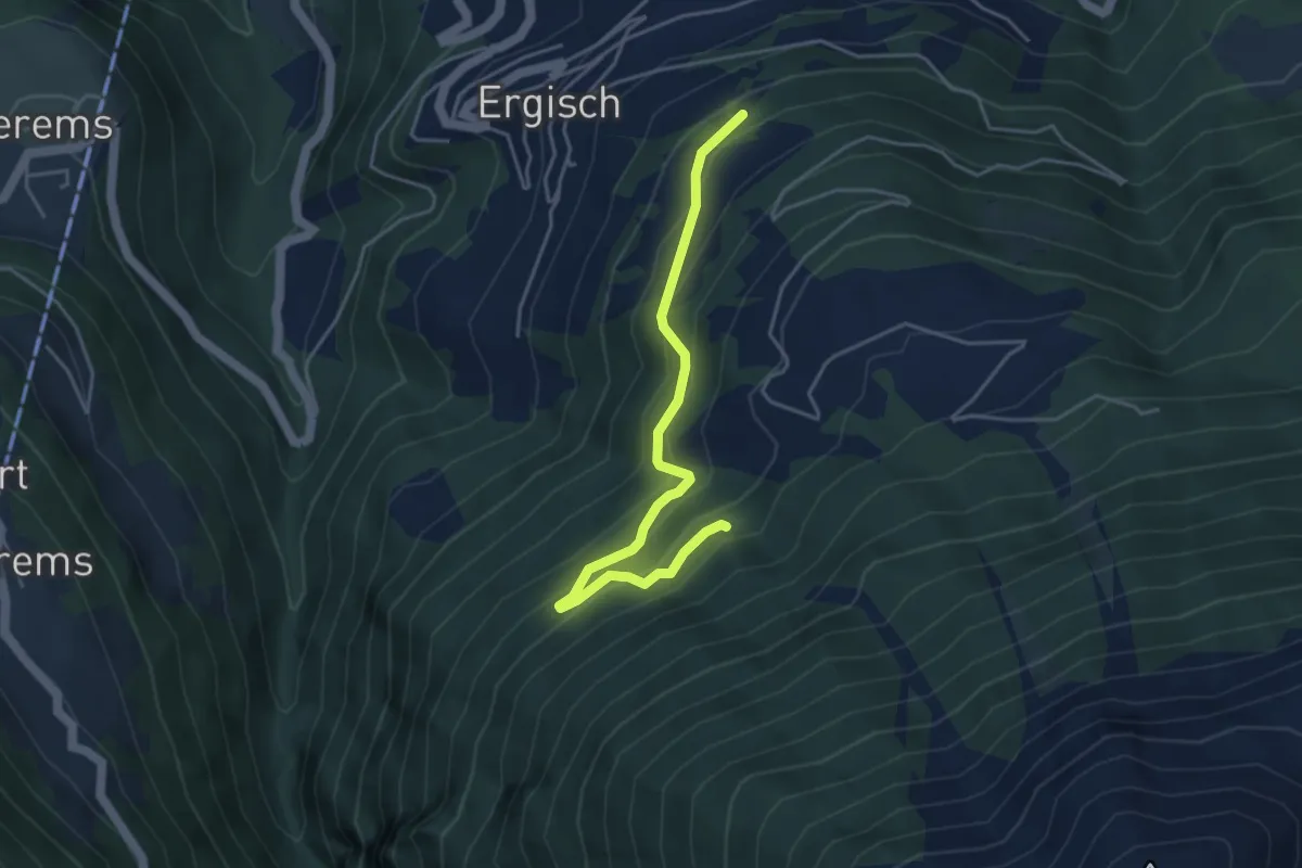
Medium · Trail
Zwischenmatten – Brandwald
4.4 km · ↑ 330 m · 1 h 45 min · 15 km away
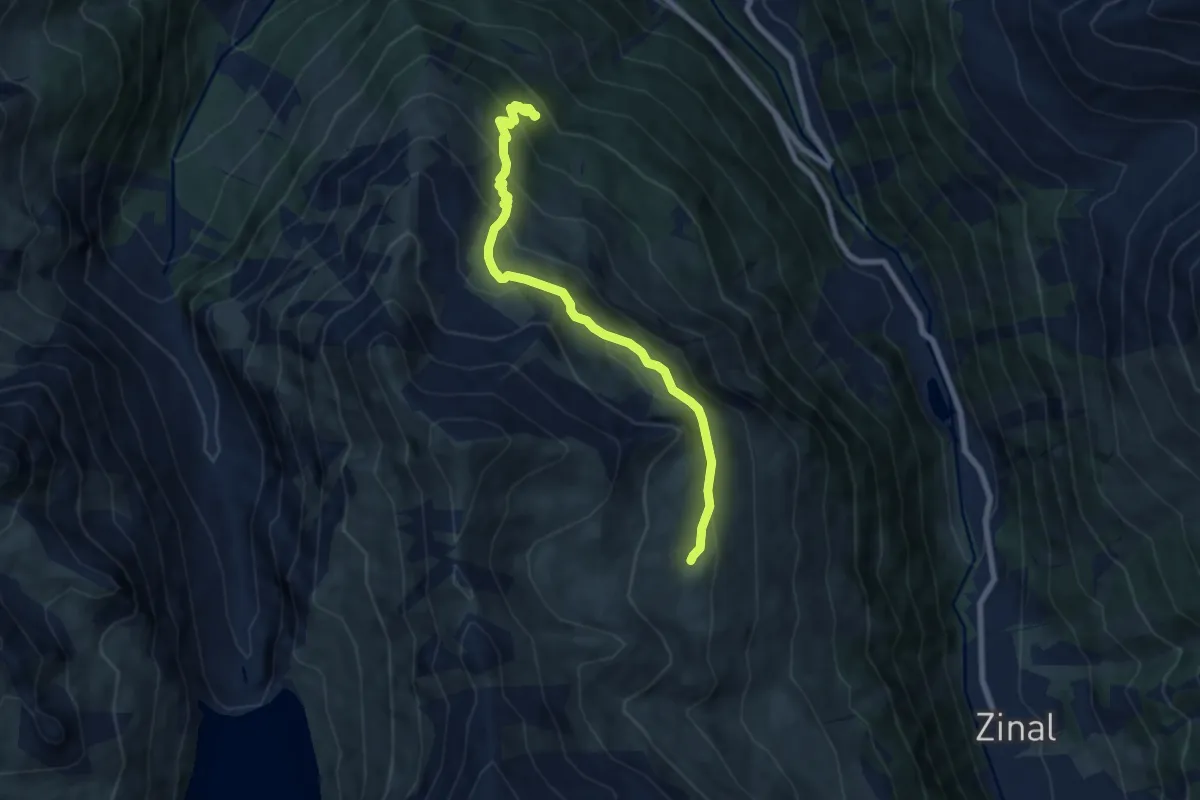
Medium · Trail
Grand Plan de Tsirouc – Sorebois
7.5 km · ↑ 562 m · 2 h 59 min · 15 km away
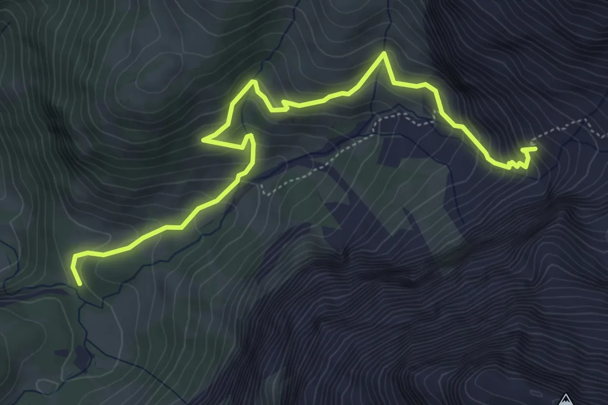
Medium · Cabin
Stalde - Ammertenhütte
6.2 km · ↑ 536 m · 2 h 38 min · 15 km away
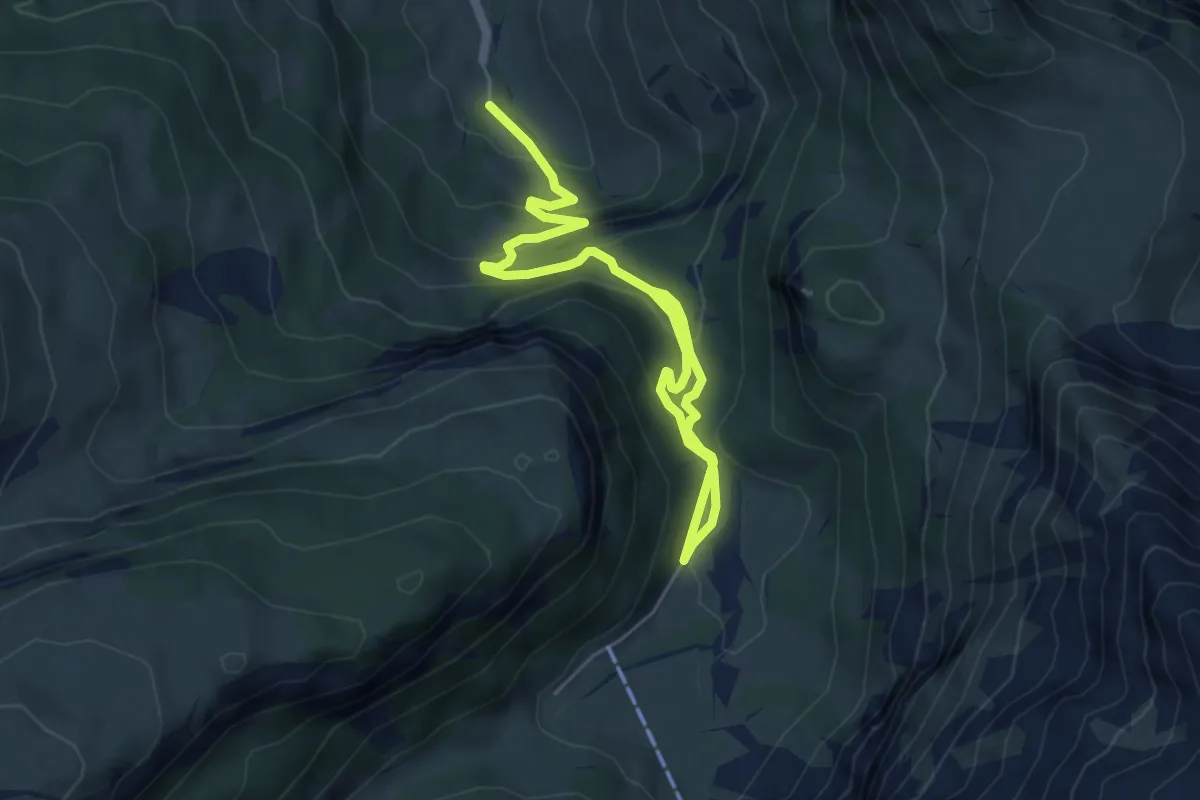
Medium · Trail
Ritzdole-Iffigen Läger
7.0 km · ↑ 419 m · 2 h 34 min · 15 km away
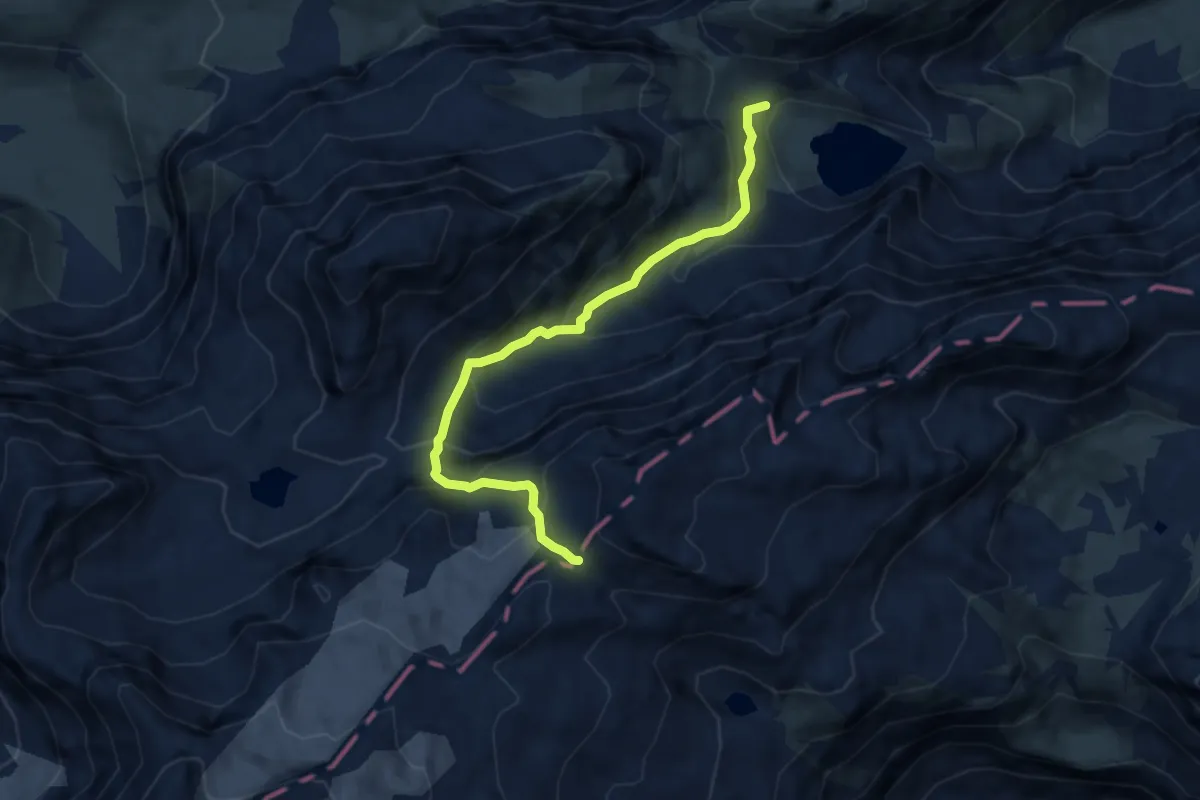
Demanding · Trail
Iffigsee – Schnidejoch
7.4 km · ↑ 641 m · 3 h 9 min · 15 km away
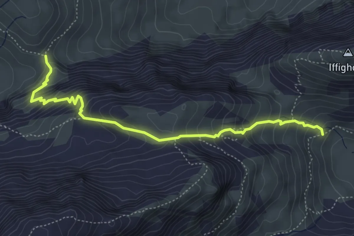
Medium · Trail
Tungelpass – Iffigsee
5.2 km · ↑ 582 m · 2 h 30 min · 15 km away
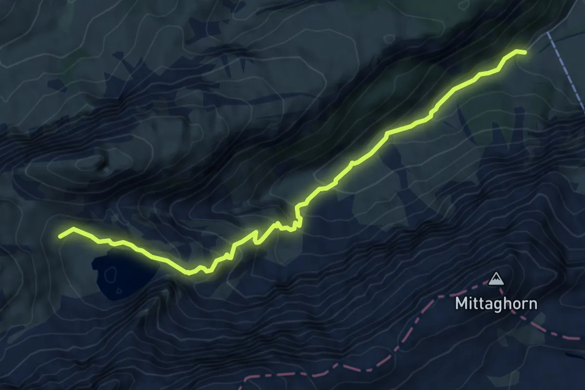
Medium · Cabin
Iffigenalp – Iffigsee
8.4 km · ↑ 598 m · 3 h 16 min · 15 km away
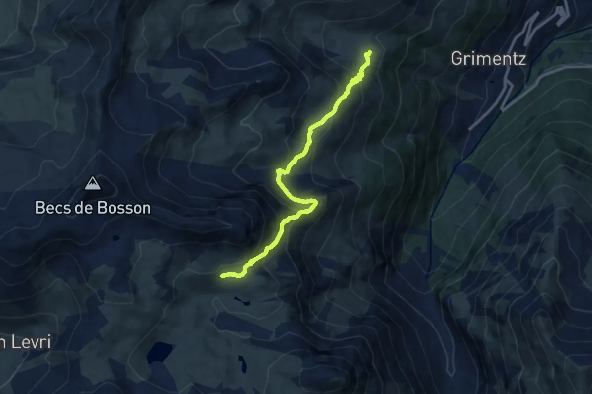
Medium · Trail
Lona – Bendolla
8.1 km · ↑ 600 m · 3 h 12 min · 15 km away
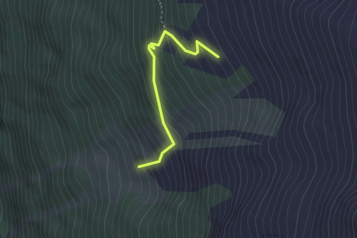
Medium · Trail
Sänntum Unerstafil – Sänntum Oberstafil
2.5 km · ↑ 322 m · 1 h 18 min · 15 km away
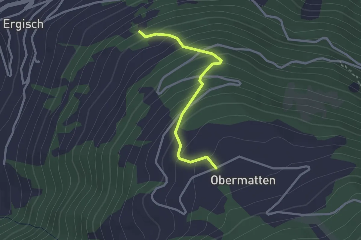
Easy · Trail
Zwischenmatten – Obermatten
2.3 km · ↑ 270 m · 1 h 7 min · 15 km away
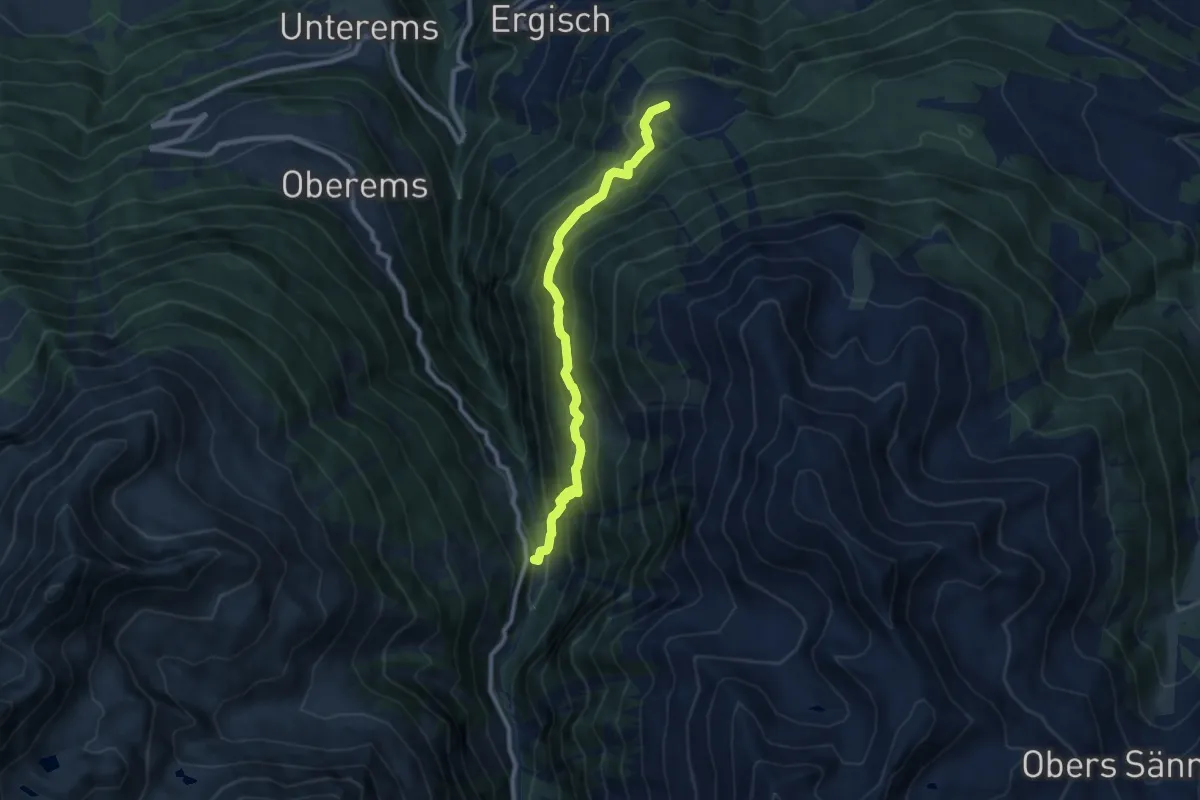
Medium · Trail
Obermatten – Wänge
8.8 km · ↑ 718 m · 3 h 38 min · 15 km away
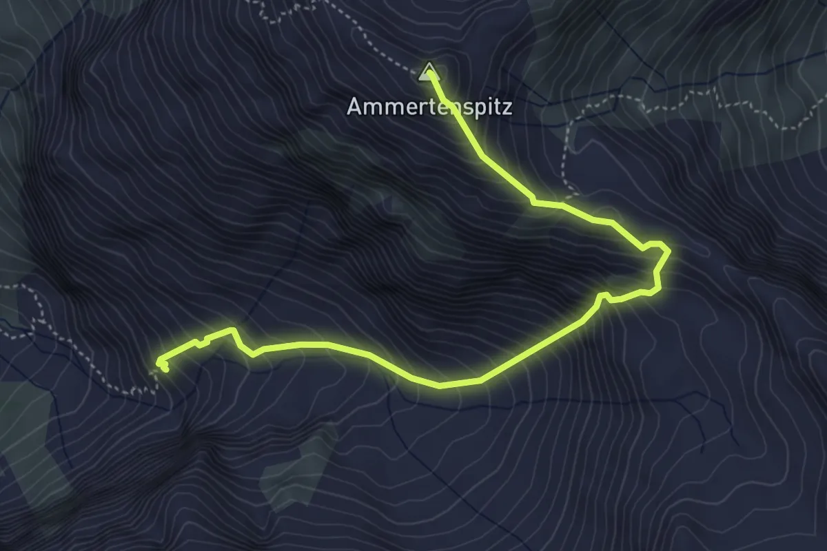
Expert · Summit
Ammertenhütte - Ammertenspitz
5.4 km · ↑ 769 m · 2 h 56 min · 15 km away
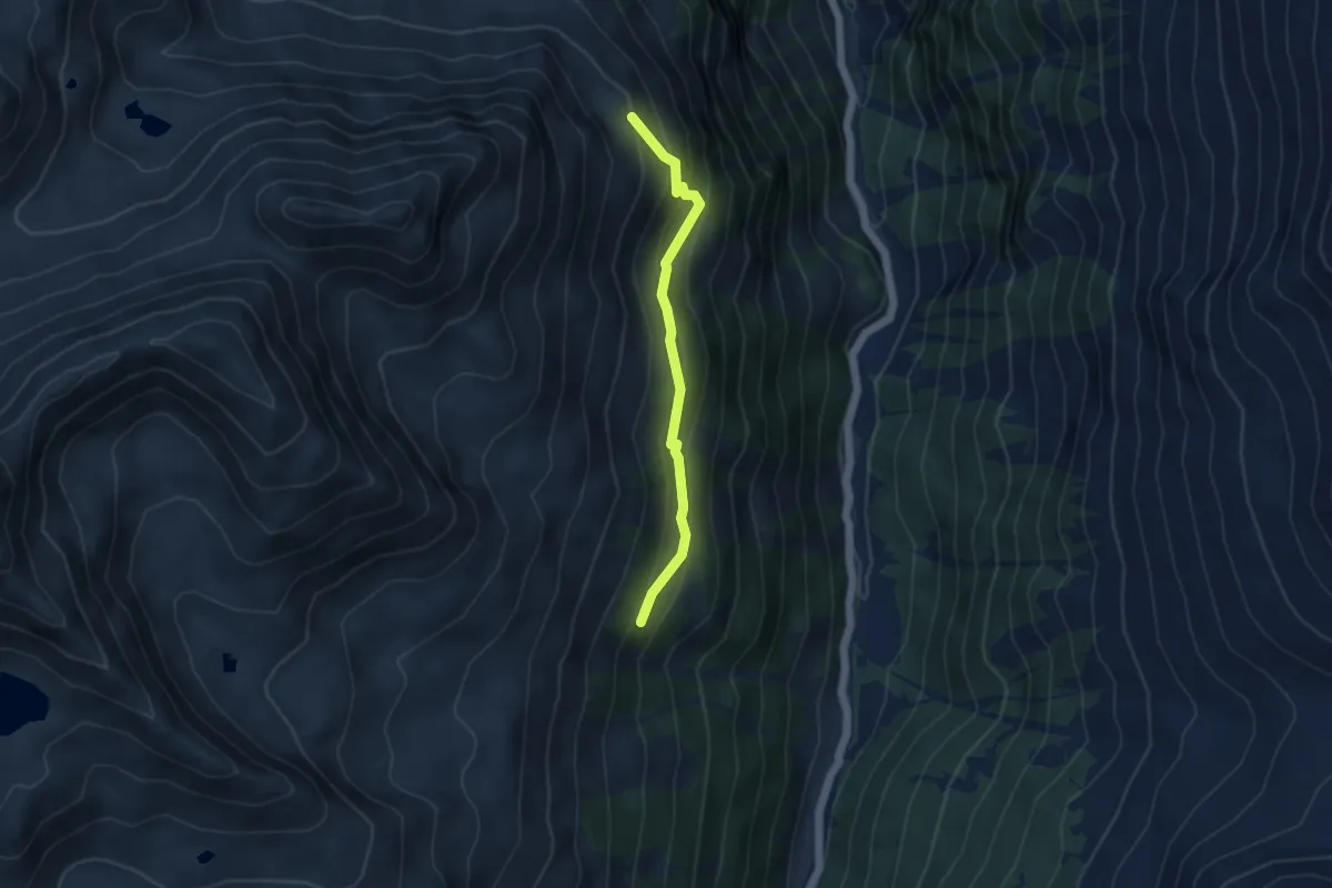
Easy · Trail
Grind Oberstafel – Simmigu Mittelstafel
4.1 km · ↑ 307 m · 1 h 37 min · 15 km away
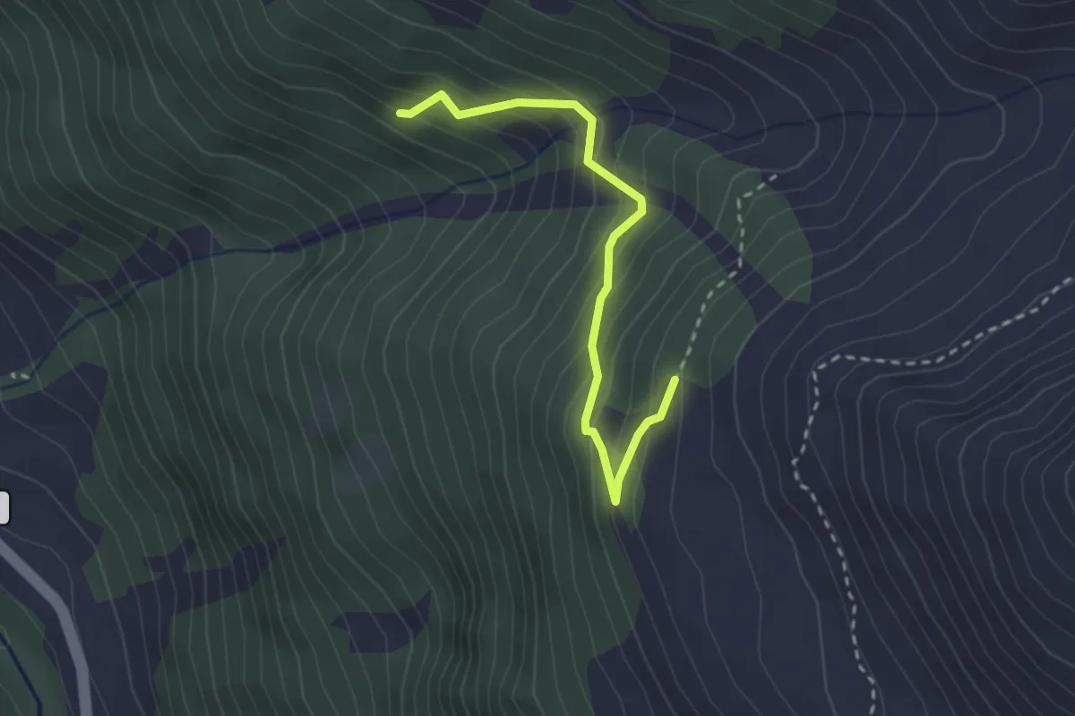
Easy · Trail
Le Chapec – Route de Navetta
2.6 km · ↑ 293 m · 1 h 15 min · 15 km away