Trails near Sion
170 hikes starting within 15 km, nearest first.
Nearest first, page 3 of 4
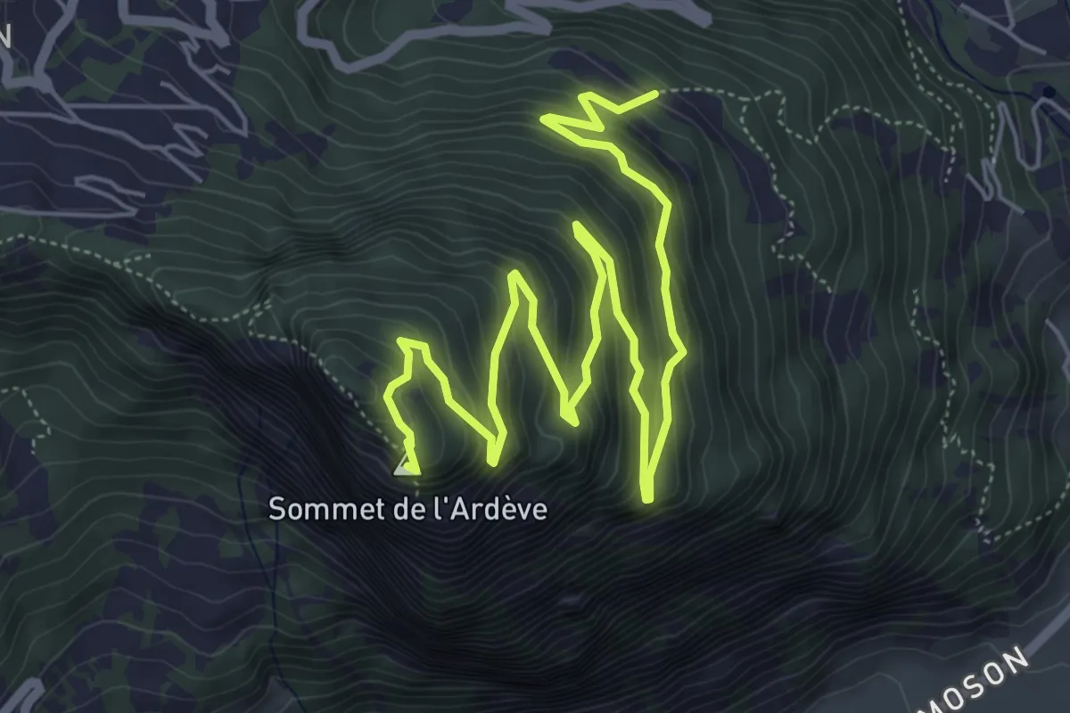
Medium · Summit
Mayens de l'Ardève - L'Ardève
8.2 km · ↑ 645 m · 3 h 19 min · 12 km away
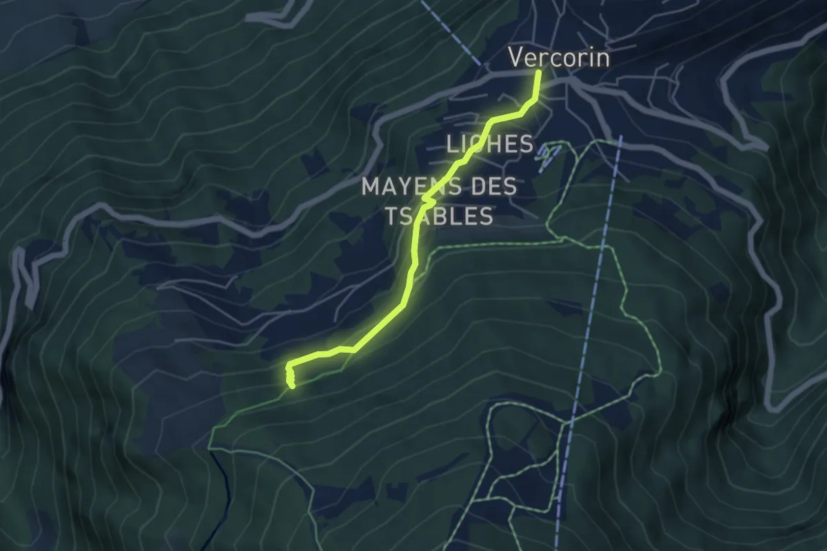
Easy · Trail
refuge du Bisse-Vercorin
4.1 km · ↑ 293 m · 1 h 36 min · 12 km away
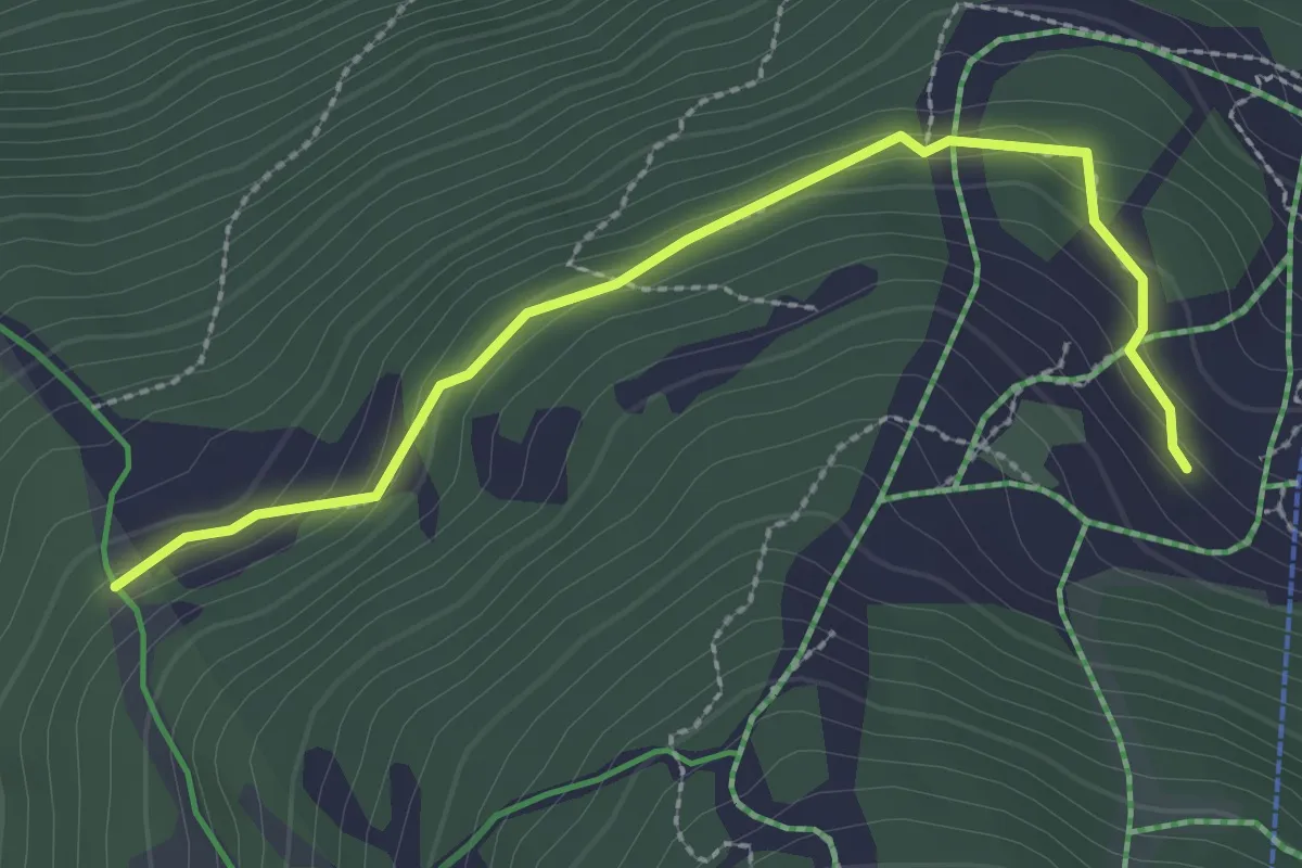
Easy · Trail
L'Ar de Bran – Sigeroula
2.7 km · ↑ 144 m · 58 min · 12 km away
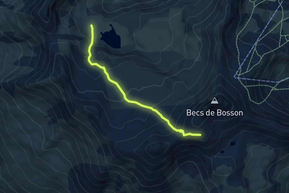
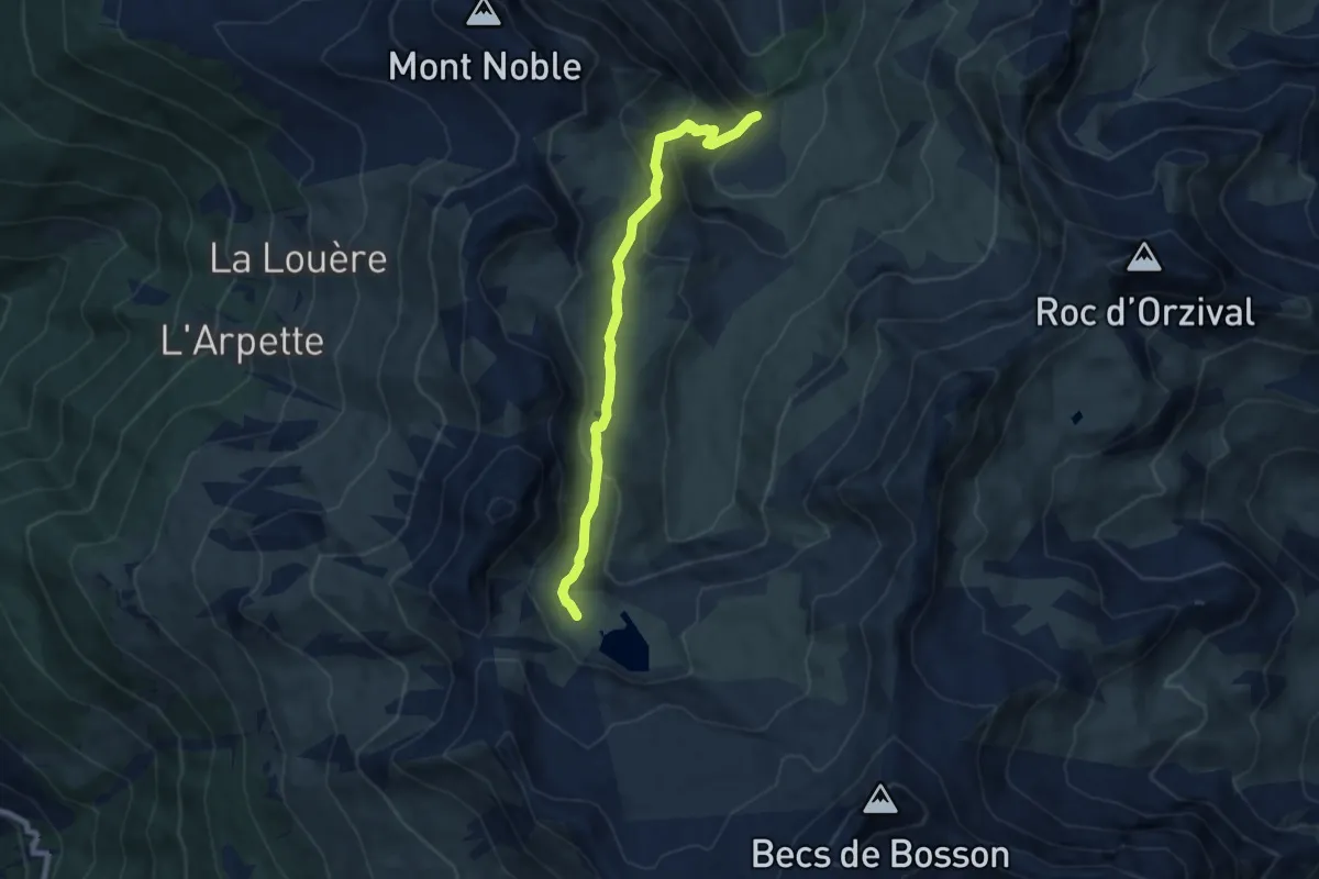
Medium · Cabin
Becs de Bosson - Le Louché Lac
5.1 km · ↑ 405 m · 2 h 5 min · 12 km away
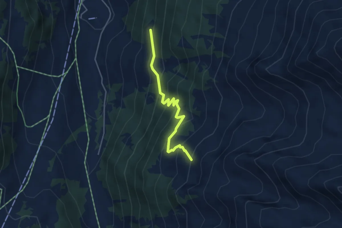
Medium · Trail
Le Louché-L'Ar du Tsan Lac (A)
7.3 km · ↑ 408 m · 2 h 36 min · 12 km away
Medium · Trail
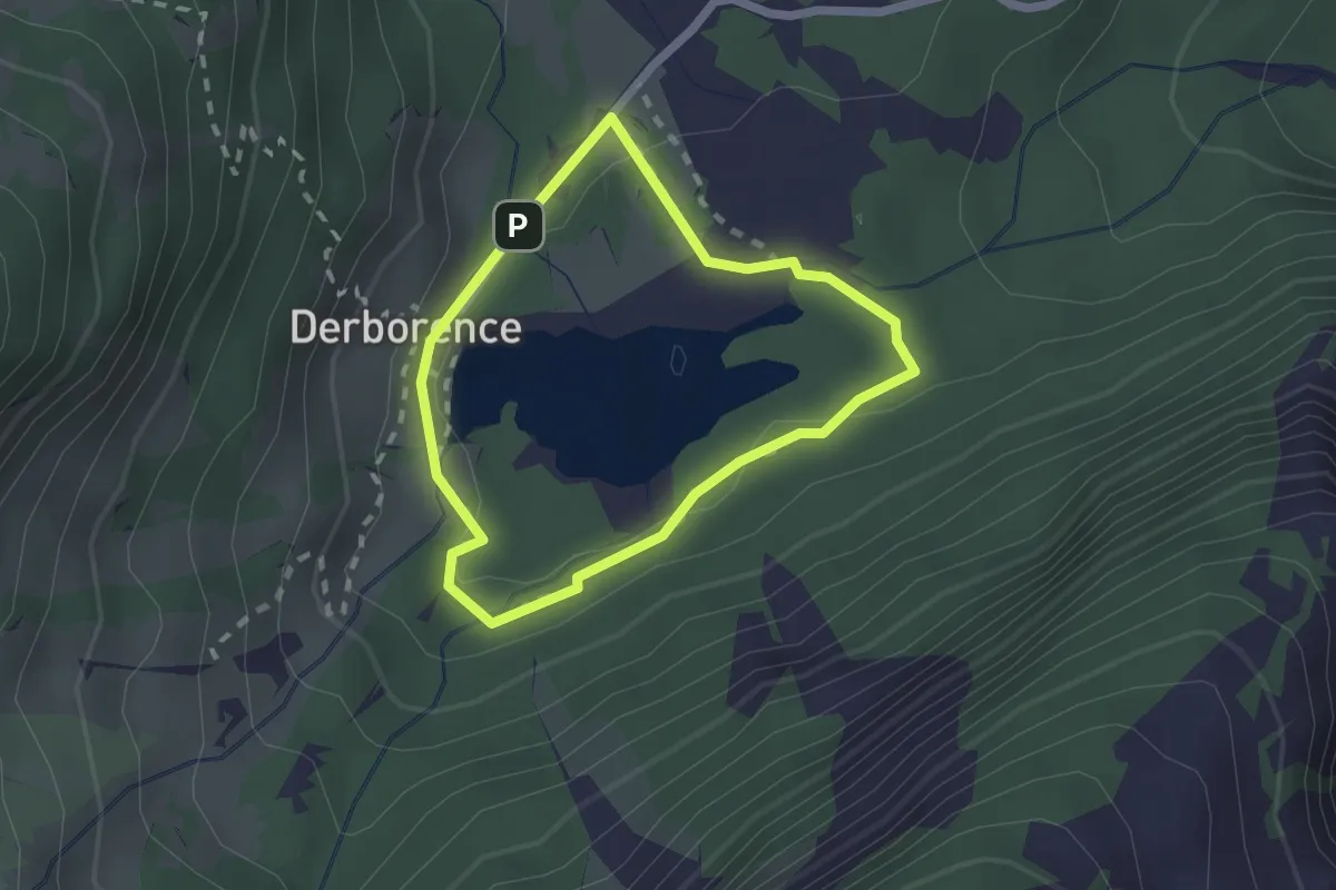
Siviez – Chervé
3.4 km · ↑ 334 m · 1 h 32 min · 12 km away
Easy · Cabin
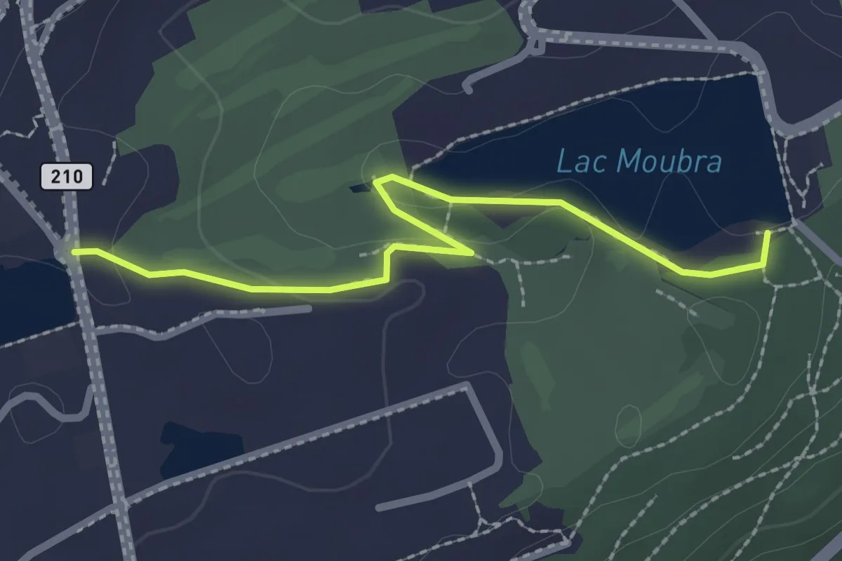
Tour du lac de Derborence
1.7 km · ↑ 19 m · 28 min · 12 km away
Easy · Trail
Chemin des Lanternes
2.3 km · ↑ 29 m · 37 min · 12 km away
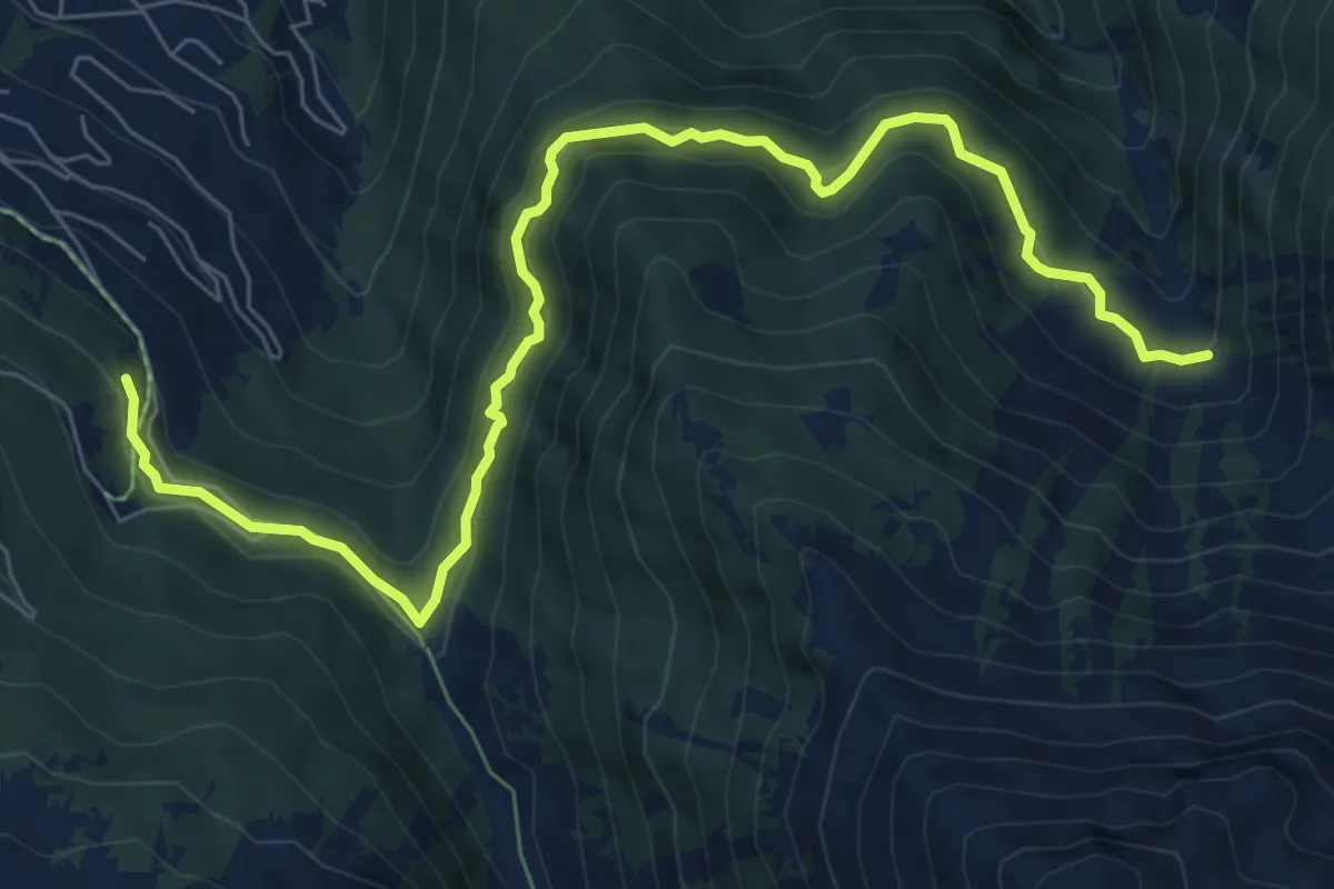
Medium · Trail
Le Rosey - Taillay
8.7 km · ↑ 556 m · 3 h 16 min · 12 km away
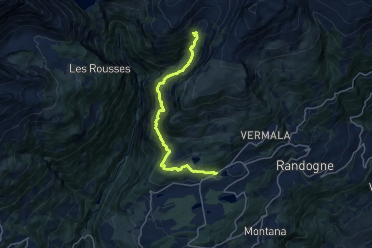
Demanding · Trail
Cran - Er de Chermignon (Ancien bisse du Ro)
12.2 km · ↑ 949 m · 4 h 56 min · 12 km away
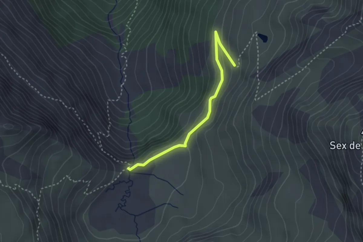
Easy · Trail
L'Ar du Tsan - Le Pichioc – La Brinta
2.8 km · ↑ 122 m · 56 min · 13 km away
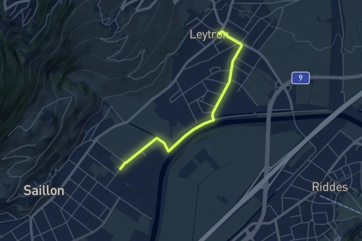
Easy · Trail
Saillon Les Bains - Leytron
4.7 km · ↑ 22 m · 1 h 10 min · 13 km away
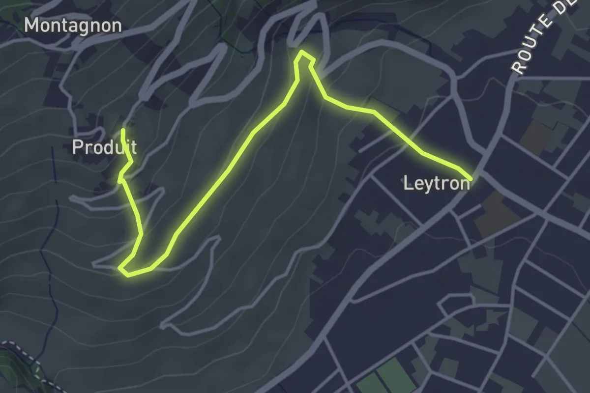
Easy · Trail
Leytron - Produit
4.2 km · ↑ 204 m · 1 h 26 min · 13 km away
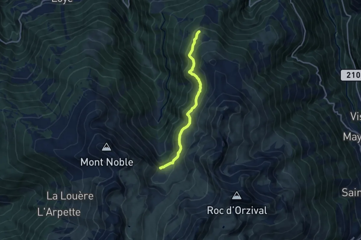
Medium · Trail
Les Planards-L'Ar du Tsan
9.6 km · ↑ 350 m · 3 h 1 min · 13 km away
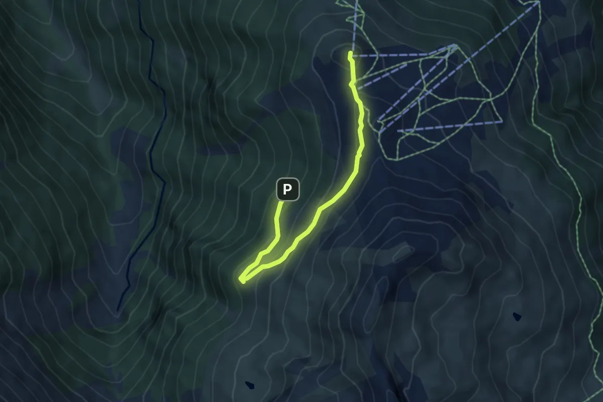
Easy · Summit
... en passant par le Vallon
2.7 km · ↑ 217 m · 1 h 3 min · 13 km away
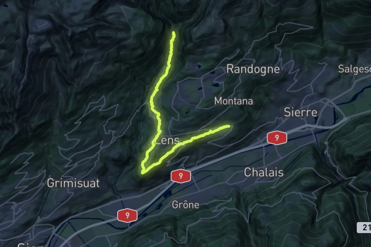
Demanding · Trail
Bisse de lens
13.6 km · ↑ 614 m · 4 h 52 min · 13 km away
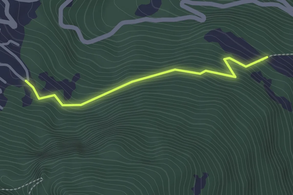
Easy · Trail
Mayens de l'Ardève - fixme
2.2 km · ↑ 188 m · 56 min · 13 km away
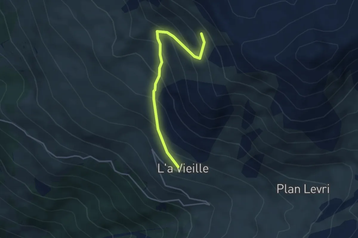
Medium · Trail
L'a Vieille – Grand Bandon
3.4 km · ↑ 353 m · 1 h 34 min · 13 km away
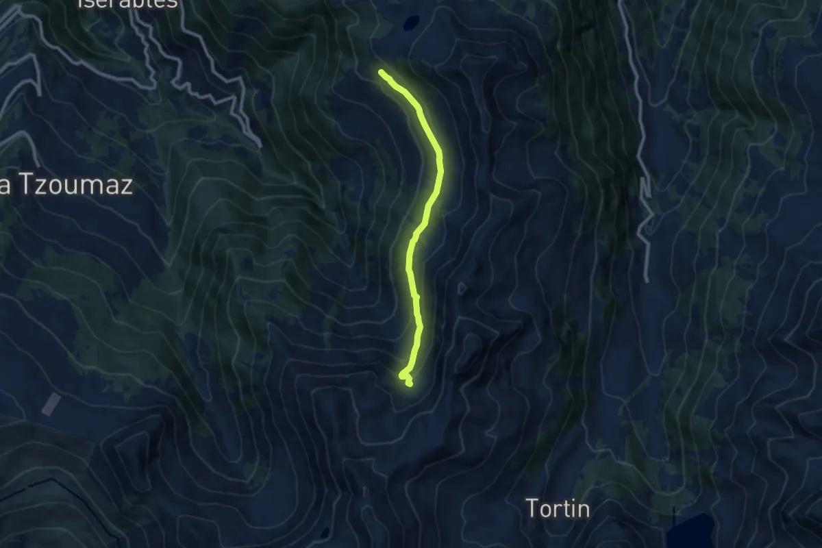
Medium · Cabin
Balavaux - fixme
7.6 km · ↑ 279 m · 2 h 24 min · 13 km away
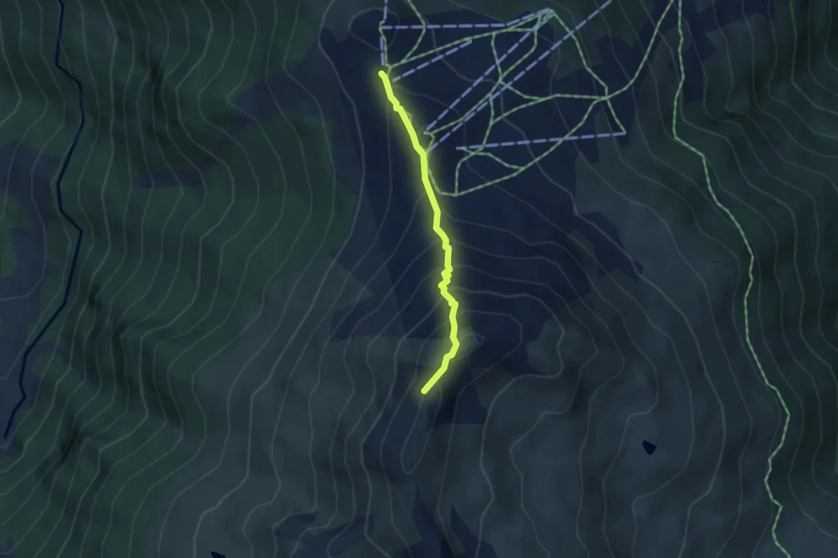
Medium · Summit
Crêt du Midi – La Brinta
3.1 km · ↑ 315 m · 1 h 24 min · 13 km away
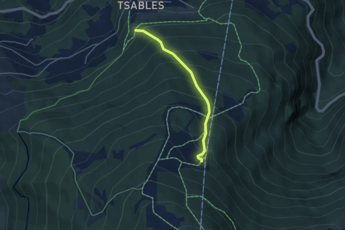
Medium · Trail
Sigeroula – Les Liches
2.8 km · ↑ 396 m · 1 h 32 min · 13 km away
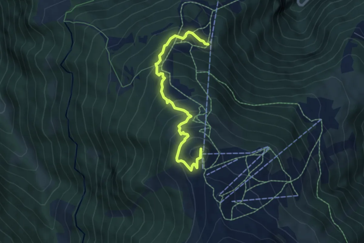
Medium · Summit
Sentier des Marmottes
5.8 km · ↑ 438 m · 2 h 19 min · 13 km away
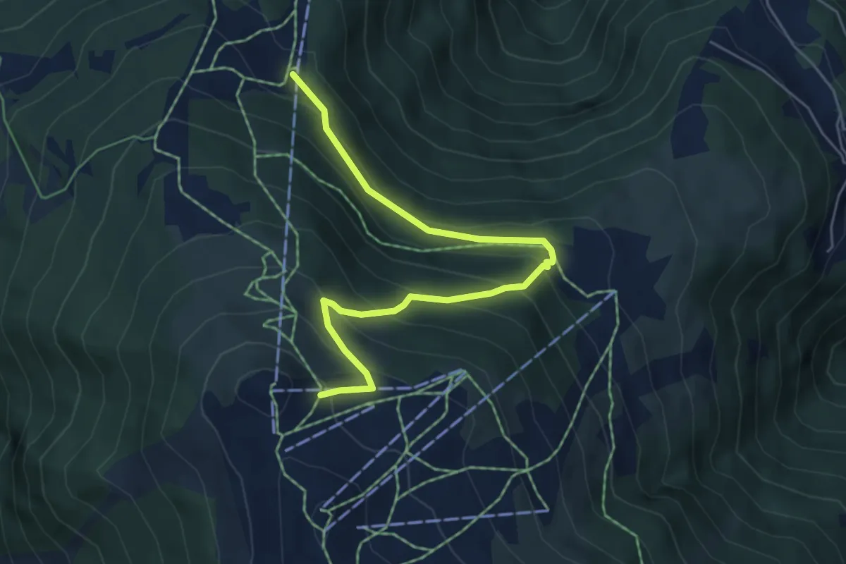
Medium · Trail
Sigeroulaz – Le Crêt du Midi
5.6 km · ↑ 428 m · 2 h 14 min · 13 km away
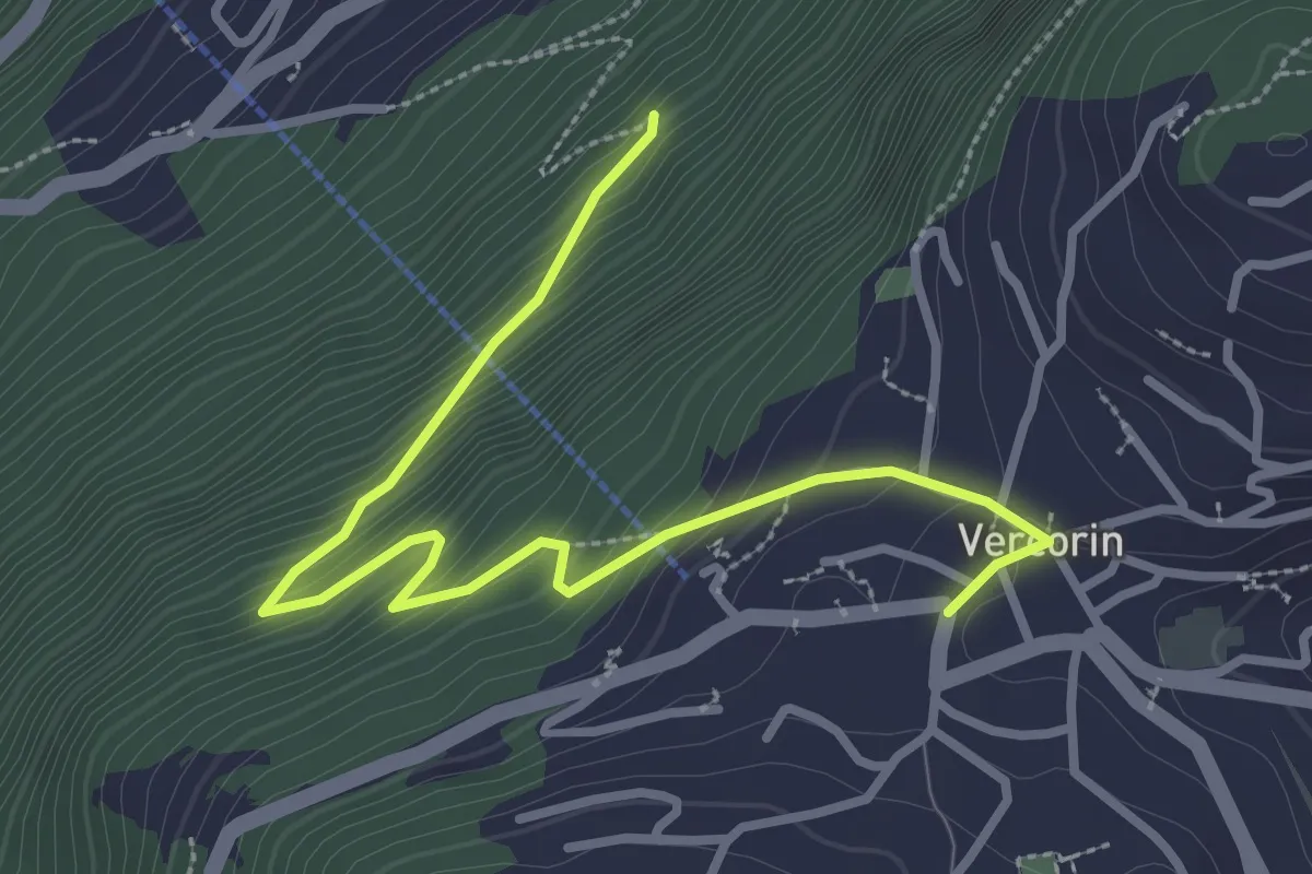
Easy · Trail
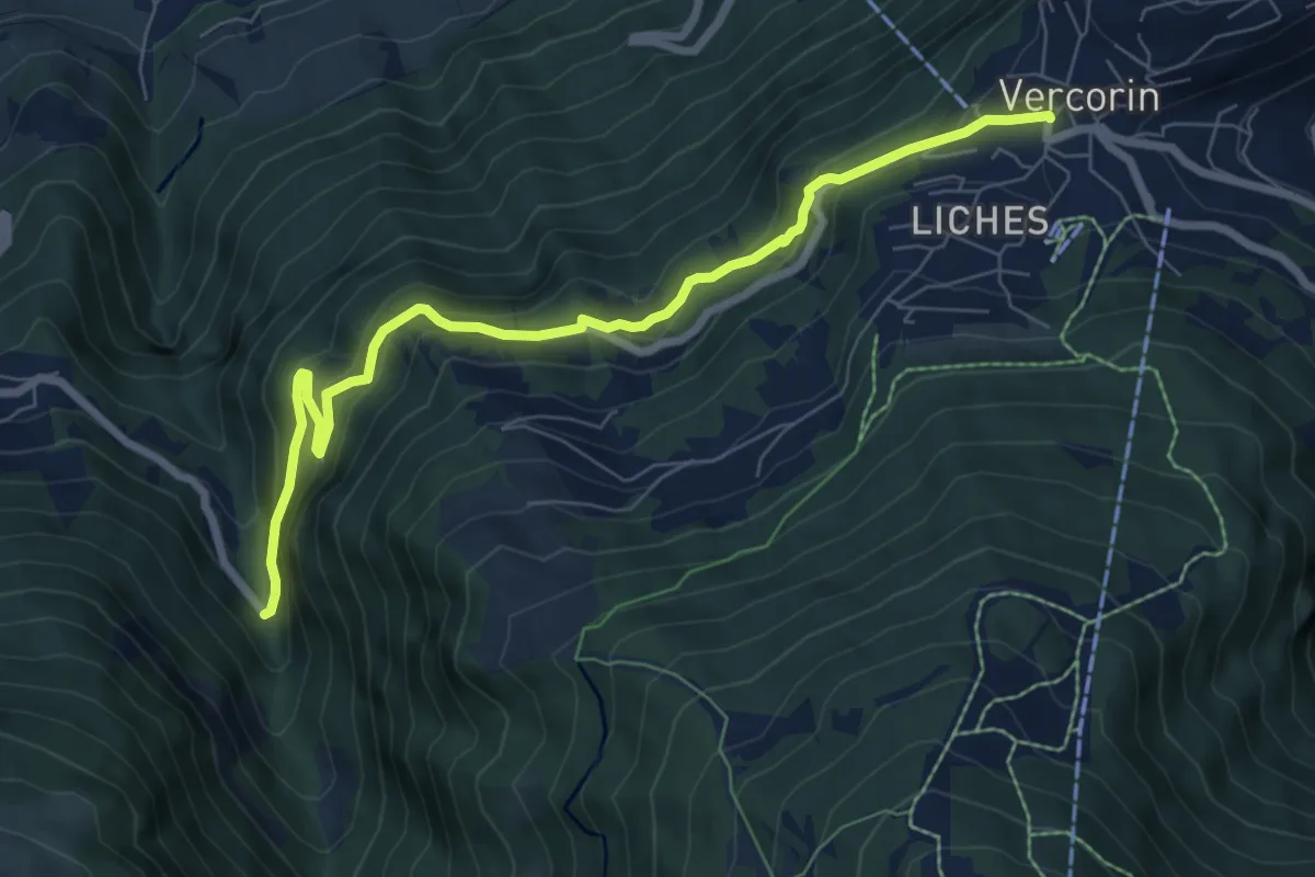
Vercorin – Chapelle du Bouillet
3.5 km · ↑ 275 m · 1 h 26 min · 13 km away
Medium · Trail
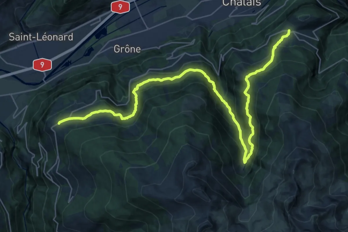
Vercorin – Les Moulins
7.8 km · ↑ 446 m · 2 h 49 min · 13 km away
Demanding · Trail
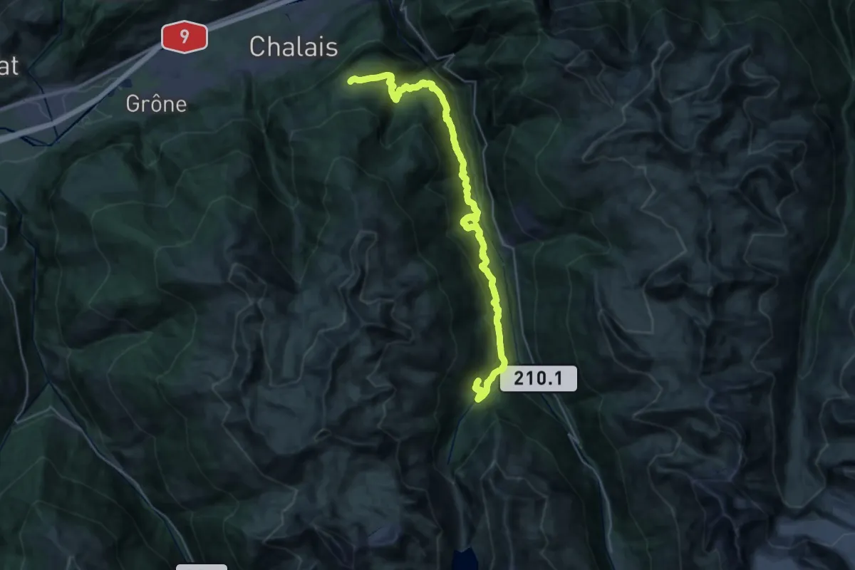
06-Chemin des Bisses
15.7 km · ↑ 946 m · 6 h 1 min · 13 km away
Expert · Trail
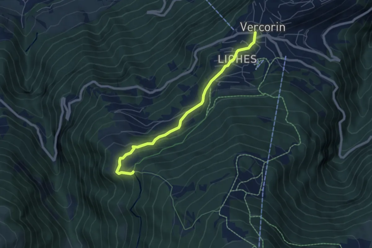
07-Chemin des Bisses
16.0 km · ↑ 1245 m · 6 h 34 min · 13 km away
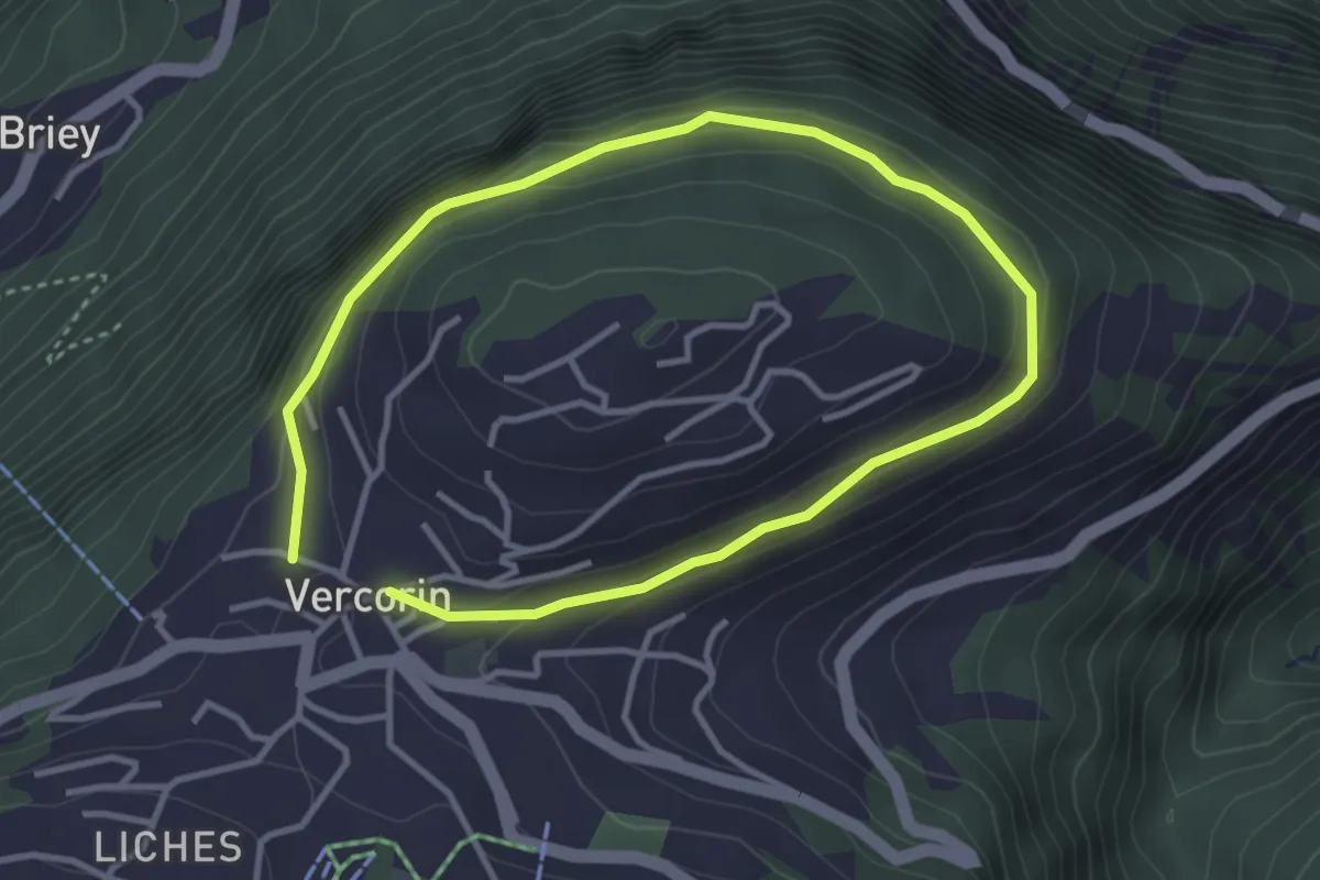
Easy · Trail
Les Tsâblos-Vercorin
5.6 km · ↑ 311 m · 1 h 59 min · 13 km away
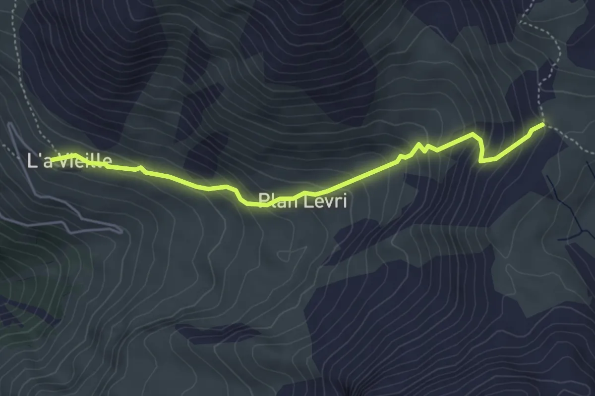
Easy · Trail
Tour du Mont
5.7 km · ↑ 262 m · 1 h 55 min · 13 km away
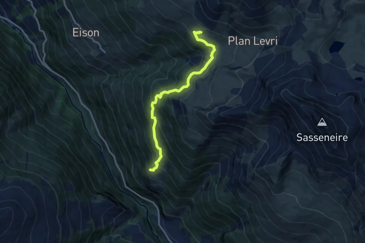
Medium · Trail
L'a Vieille - Pas de Lona
4.5 km · ↑ 406 m · 1 h 57 min · 13 km away
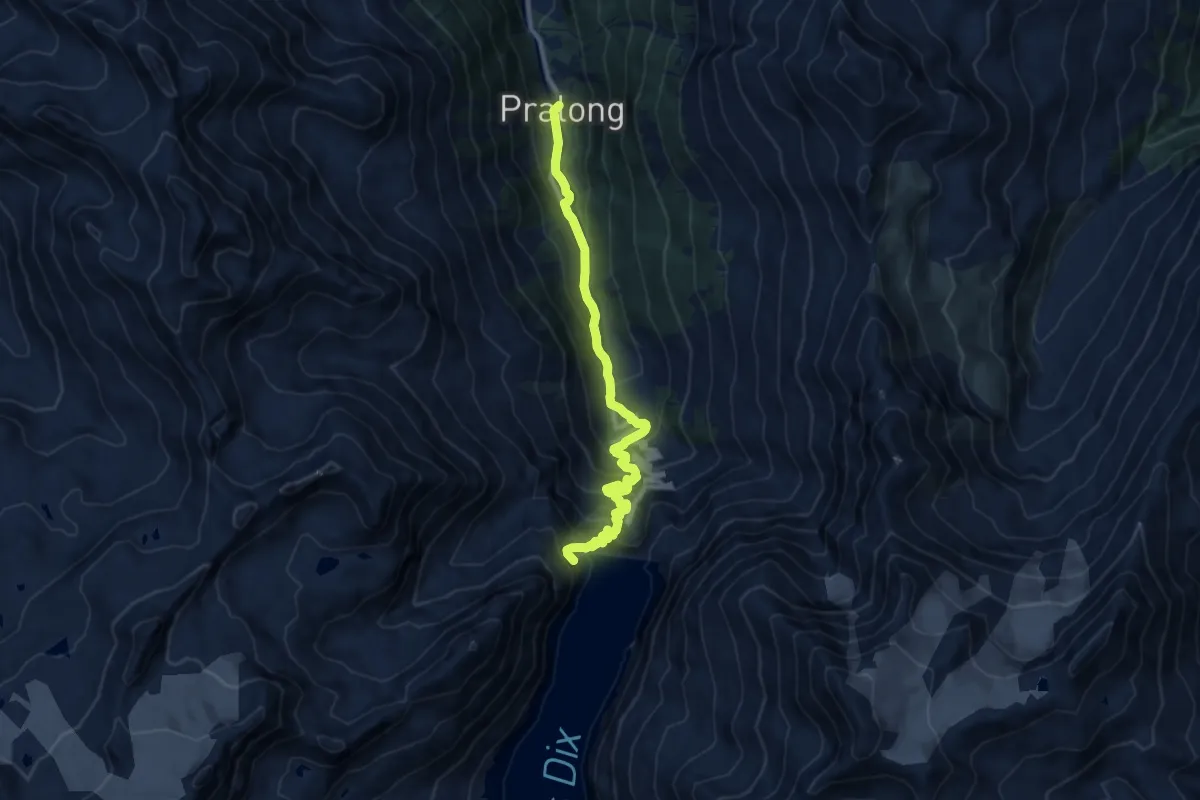
Medium · Trail
Volvovron - L'A Vieille
8.3 km · ↑ 704 m · 3 h 29 min · 13 km away
Demanding · Trail
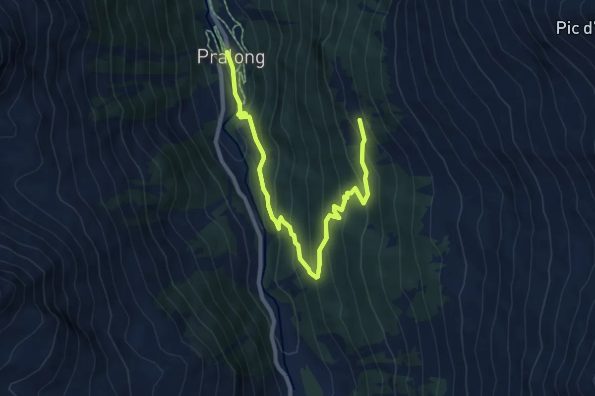
Pralong – Barrage de la Dixence
10.9 km · ↑ 835 m · 4 h 23 min · 14 km away
Medium · Trail
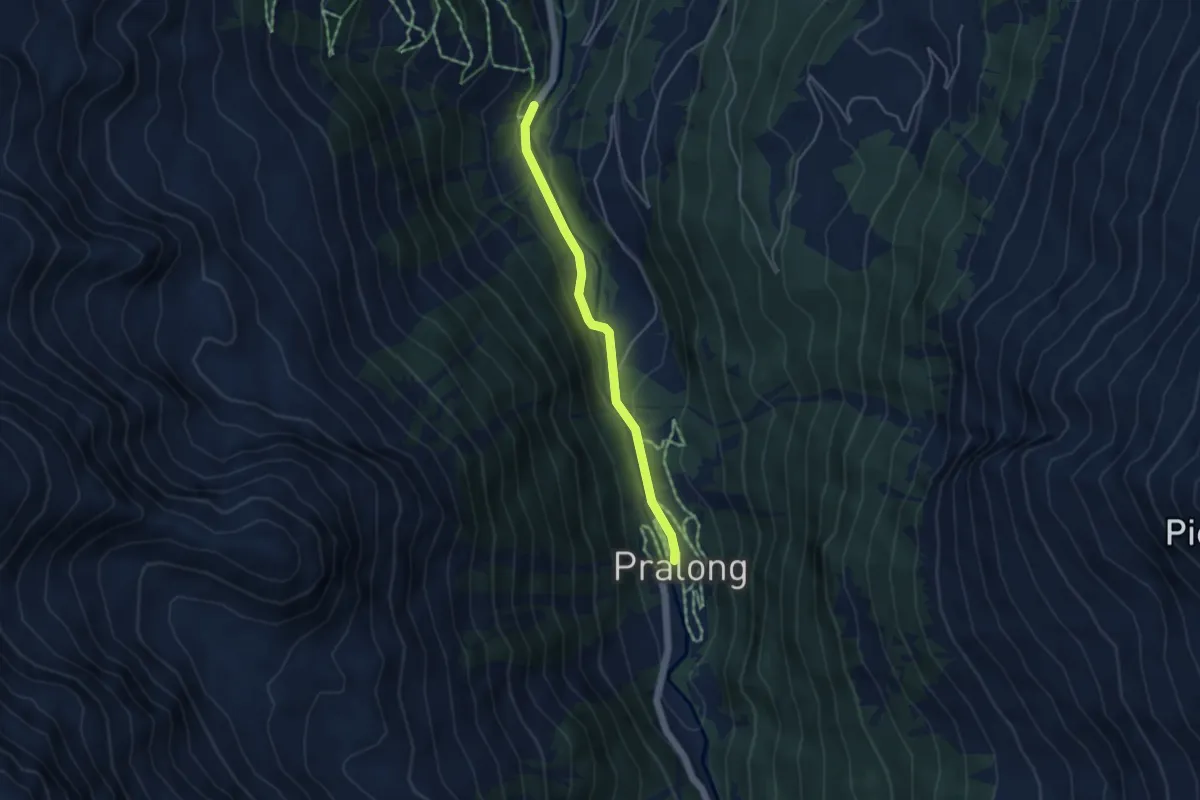
Pralong – Novèlé
6.4 km · ↑ 474 m · 2 h 33 min · 14 km away
Easy · Trail
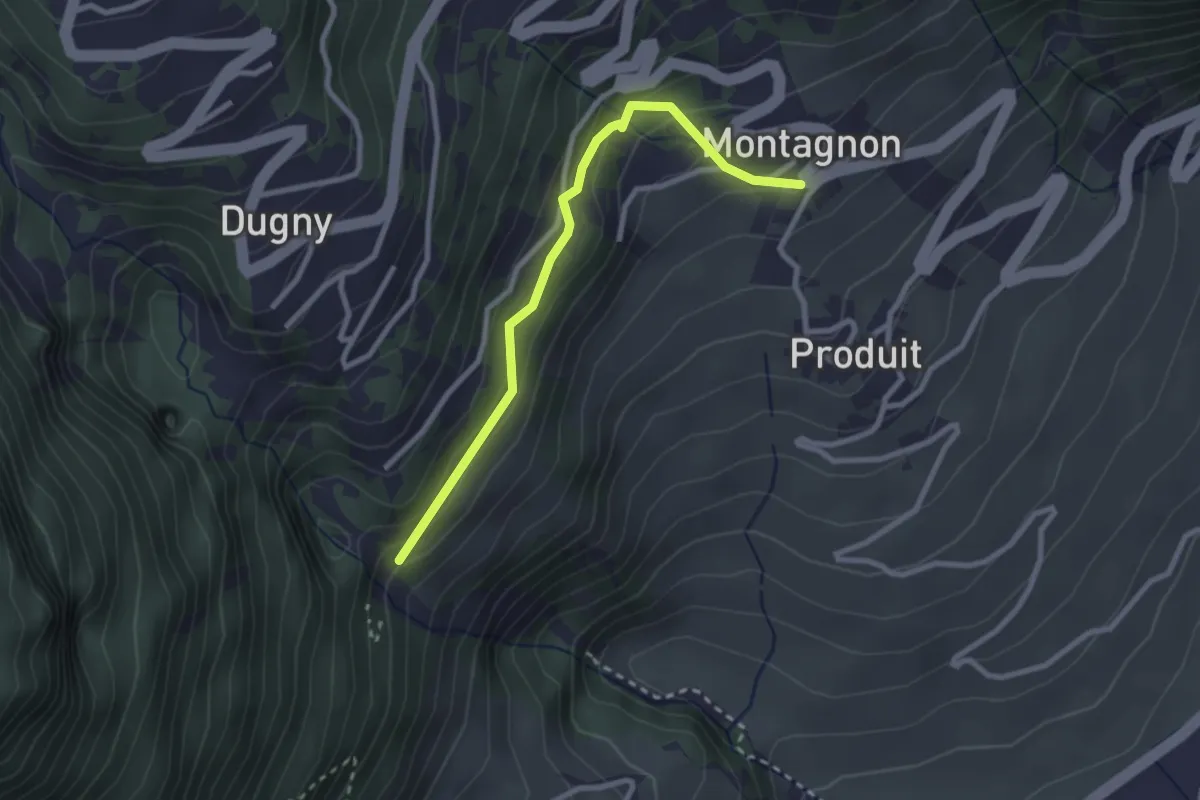
Pralong – Prapperot
3.9 km · ↑ 64 m · 1 h 4 min · 14 km away
Easy · Trail
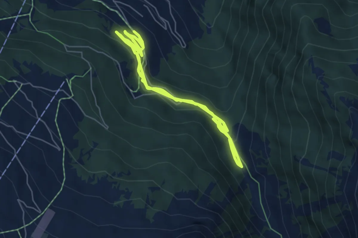
Passerelle à Farinet - Montagnon
2.6 km · ↑ 184 m · 1 h 1 min · 14 km away
Medium · Trail
Sentier des Sens La Tzoumaz
6.9 km · ↑ 211 m · 2 h 9 min · 14 km away
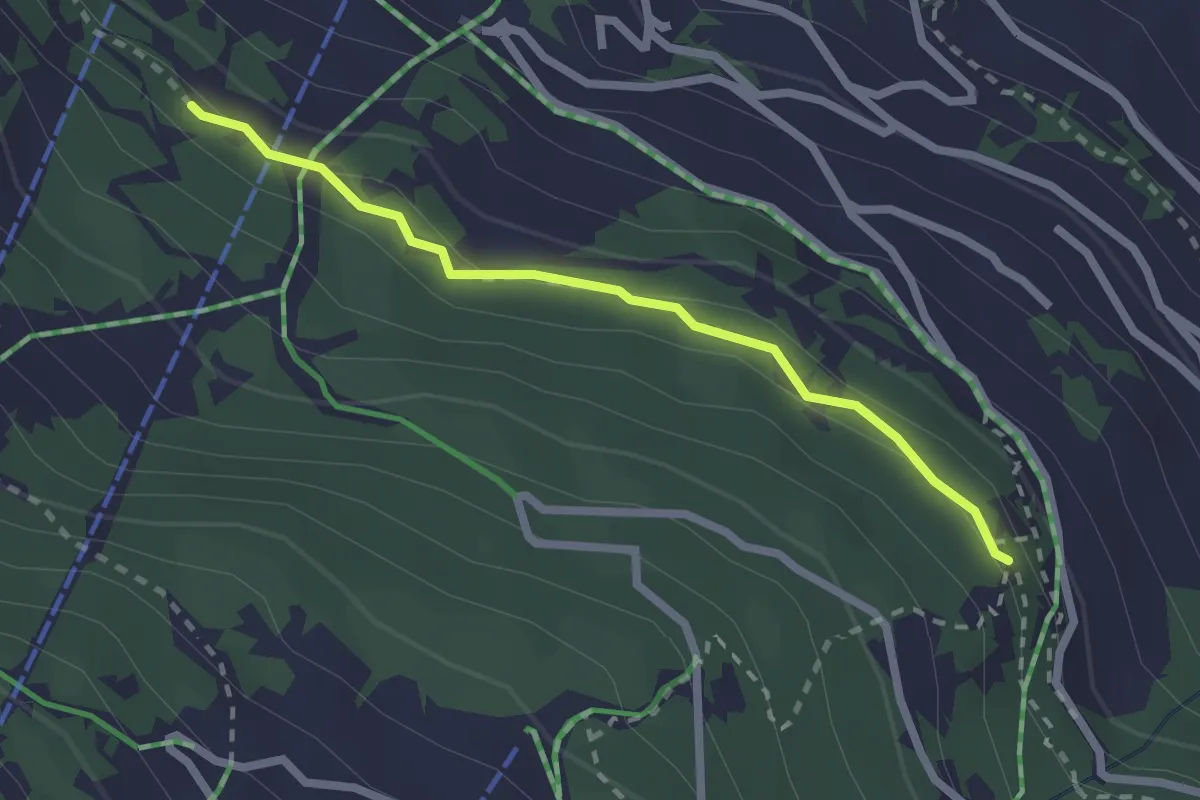
Easy · Trail
Taillay - Les Chablotays
2.2 km · ↑ 59 m · 39 min · 14 km away
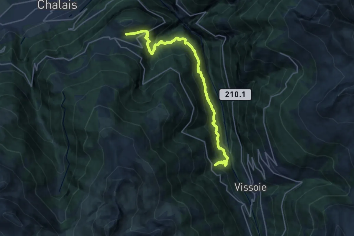
Demanding · Trail
Pinsec – Vercorin
16.4 km · ↑ 1421 m · 6 h 57 min · 14 km away
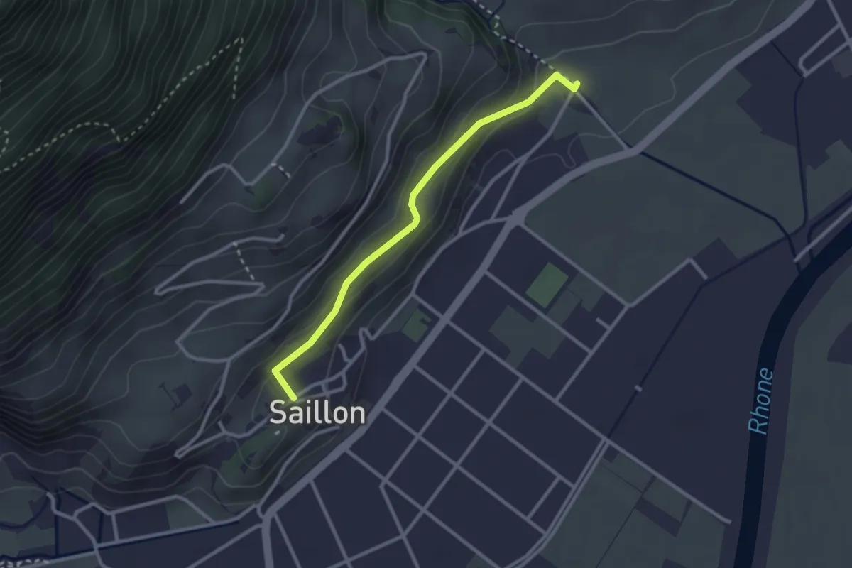
Easy · Trail
Saillon - Les Moulins Gorges de La Salentse
2.6 km · ↑ 132 m · 54 min · 14 km away
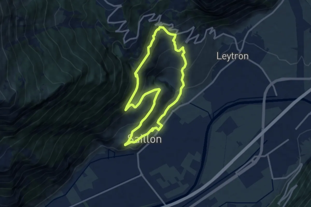
Medium · Trail
Passerelle à Farinet
7.6 km · ↑ 458 m · 2 h 54 min · 14 km away
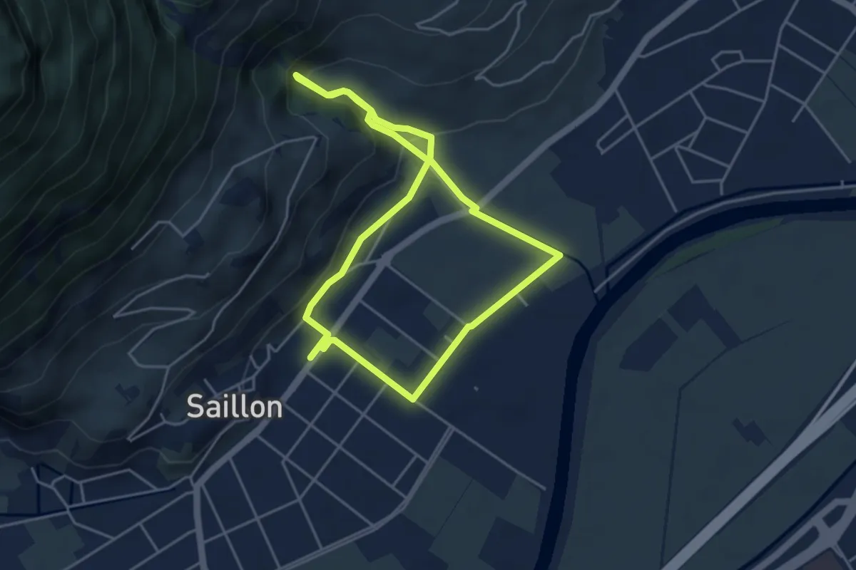
Easy · Trail
Source des bains - tête du géant
4.0 km · ↑ 109 m · 1 h 14 min · 14 km away
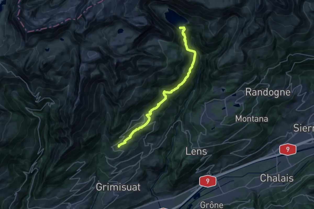
Medium · Trail
Bisse d'Ayent
11.1 km · ↑ 461 m · 3 h 59 min · 14 km away
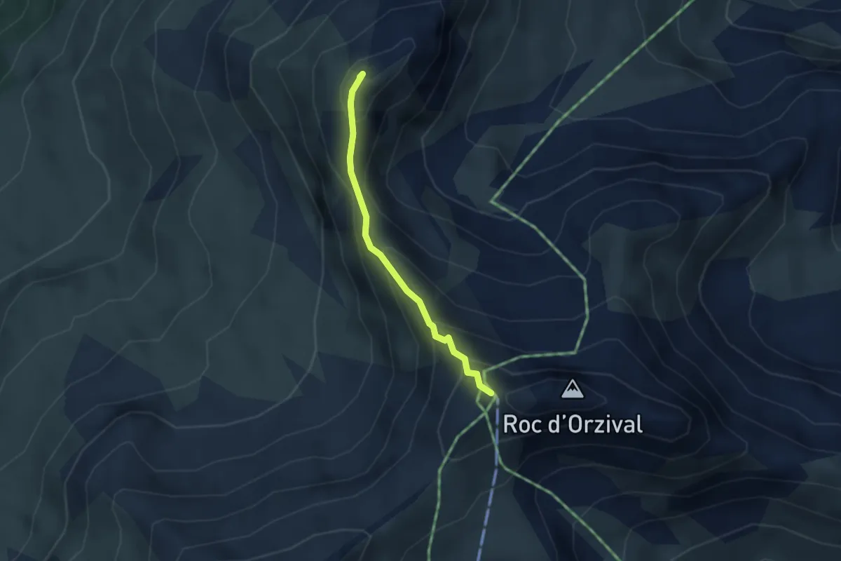
Demanding · Summit
La Brinta – Roc d'Orzival
2.5 km · ↑ 287 m · 1 h 13 min · 14 km away
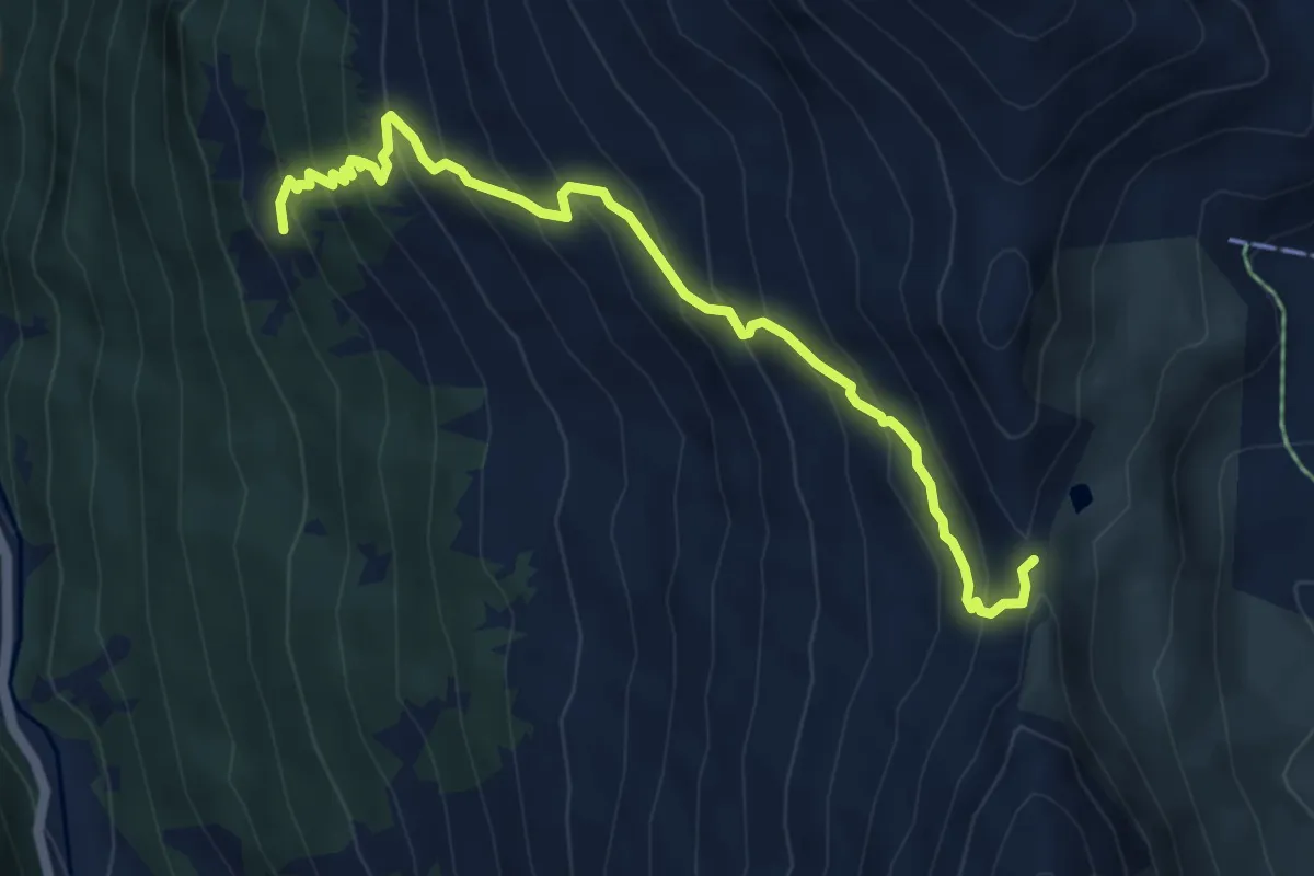
Medium · Trail
Novèlé p2082 – Col de Méribé p2702
5.8 km · ↑ 618 m · 2 h 42 min · 14 km away
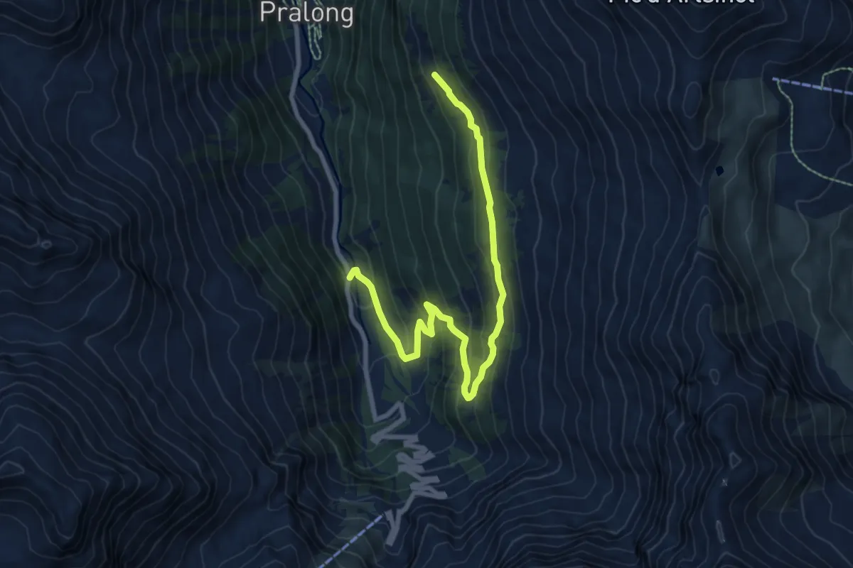
Medium · Trail
Novèlé – Méribé
8.4 km · ↑ 532 m · 3 h 8 min · 14 km away
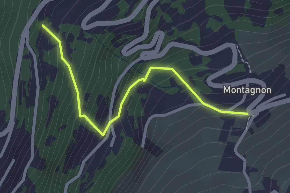
Easy · Trail
Montagnon - Dugny
2.1 km · ↑ 215 m · 57 min · 14 km away
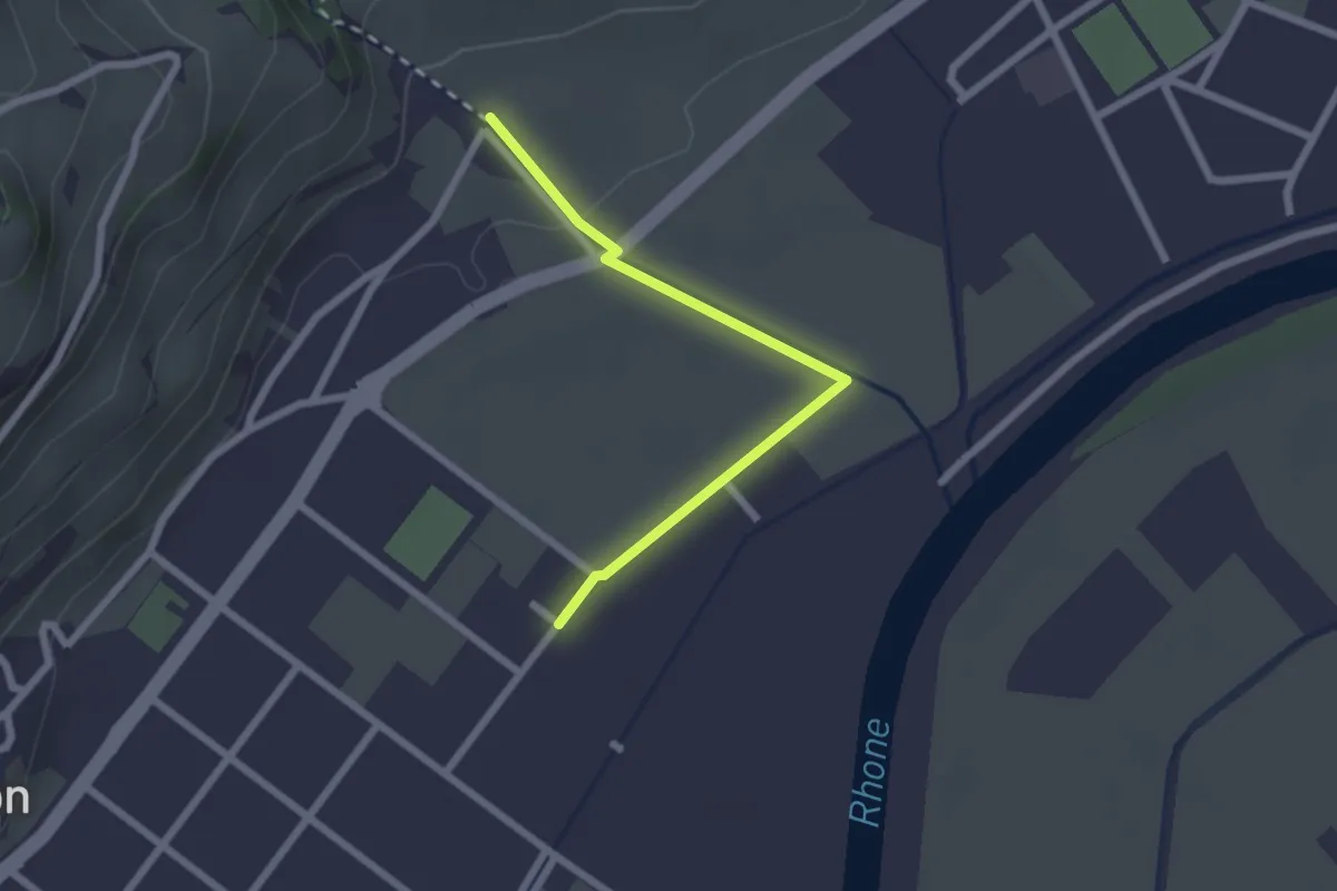
Easy · Trail
Saillon Les Bains - Les Moulins Gorges de La Salentse
2.2 km · ↑ 23 m · 34 min · 14 km away
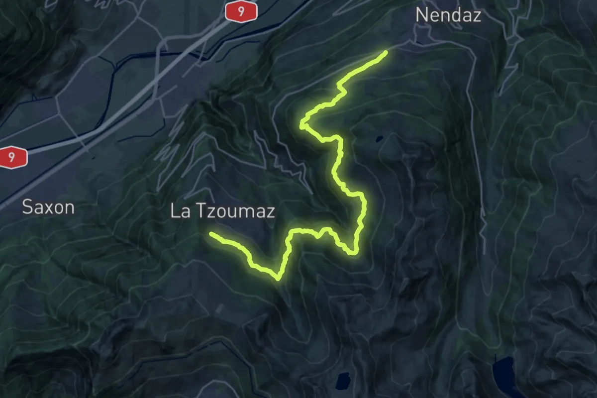
Medium · Trail
02-Chemin des Bisses
13.2 km · ↑ 573 m · 4 h 41 min · 14 km away