Trails near Sion
170 hikes starting within 15 km, nearest first.
Nearest first, page 4 of 4
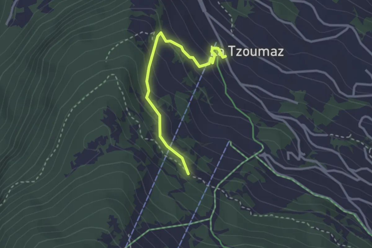
Easy · Trail
Les Chablotays – La Tzoumaz
2.4 km · ↑ 186 m · 59 min · 14 km away
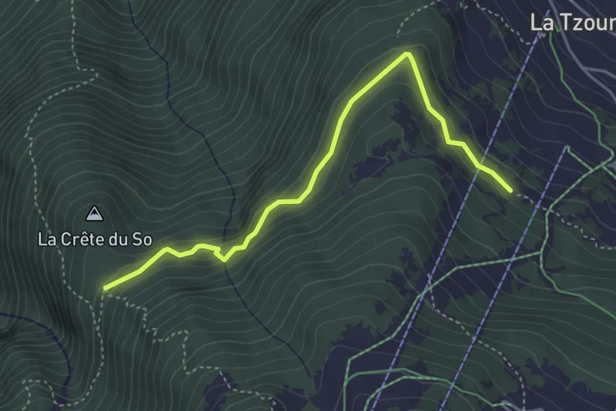
Expert · Trail
Les Chablotays - Crête de Seu
4.1 km · ↑ 293 m · 1 h 36 min · 14 km away
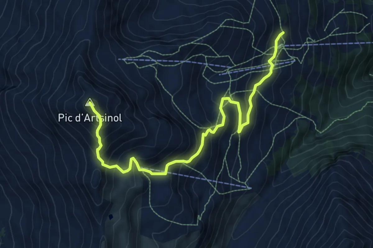
Demanding · Summit
Chemeuille p2122 – Pic d'Artsinol p2997
10.0 km · ↑ 858 m · 4 h 13 min · 14 km away
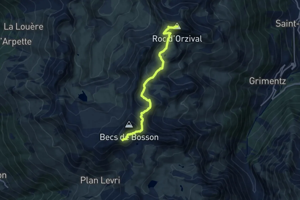
Medium · Summit
Becs de Bosson – Roc d'Orzival
10.7 km · ↑ 669 m · 3 h 59 min · 14 km away
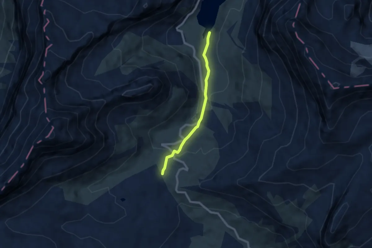
Medium · Trail
Sanetschsee – Col du Sanetsch
4.7 km · ↑ 204 m · 1 h 33 min · 14 km away
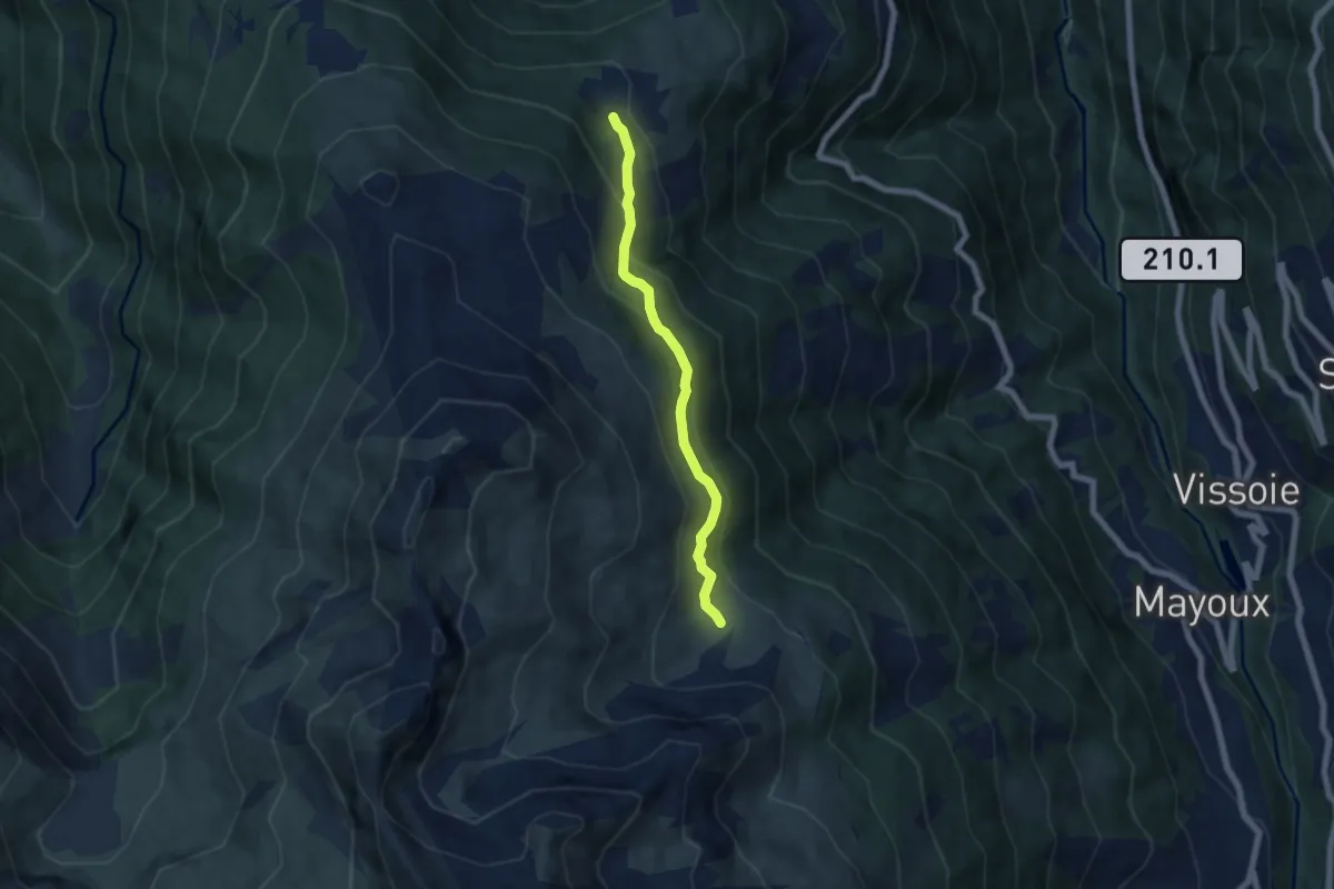
Easy · Trail
Orzival – Tracui d'en Bas
5.7 km · ↑ 284 m · 1 h 58 min · 14 km away
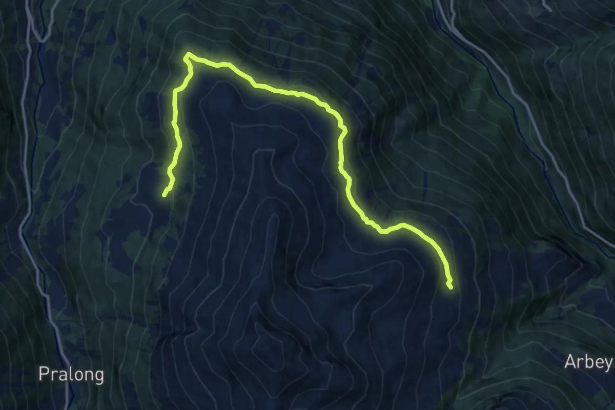
Medium · Trail
Mandelon – La Meina
13.7 km · ↑ 445 m · 4 h 11 min · 14 km away
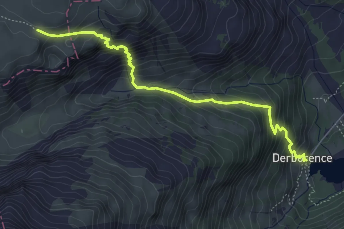
Medium · Cabin
Derborence – Pas de Cheville
5.4 km · ↑ 593 m · 2 h 34 min · 14 km away
Medium · Cabin
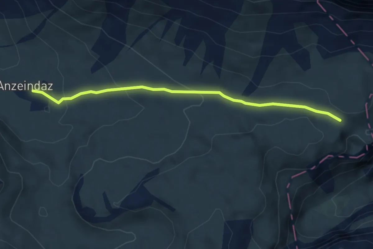
Pas de Cheville – Anzeindaz
4.7 km · ↑ 155 m · 1 h 27 min · 14 km away
Medium · Trail
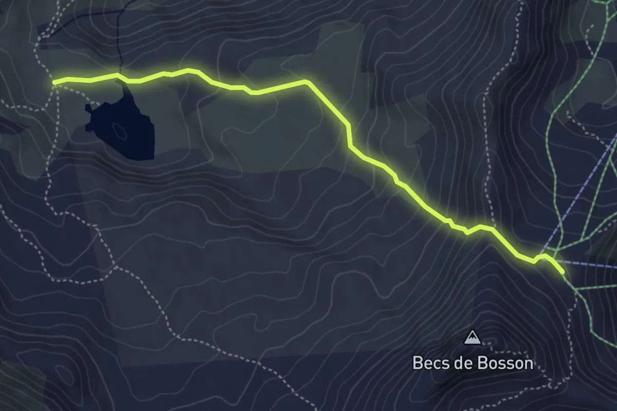
Le Louché Lac – Col du Louché
4.9 km · ↑ 342 m · 1 h 54 min · 14 km away
Easy · Trail
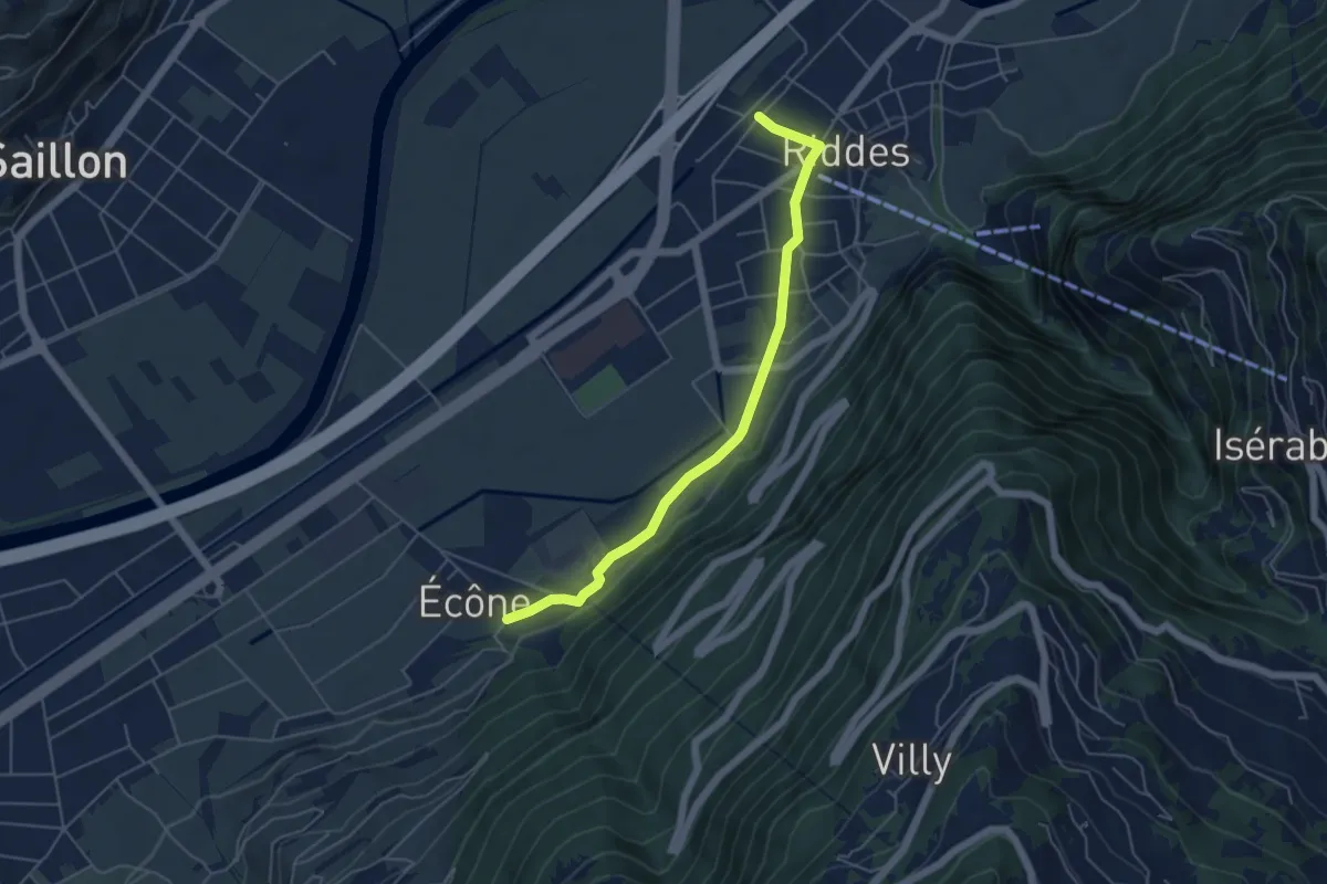
Riddes - Ecône
5.1 km · ↑ 61 m · 1 h 20 min · 14 km away
Easy · Trail
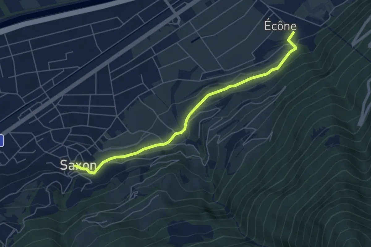
Ecône - Saxon village
5.4 km · ↑ 153 m · 1 h 36 min · 14 km away
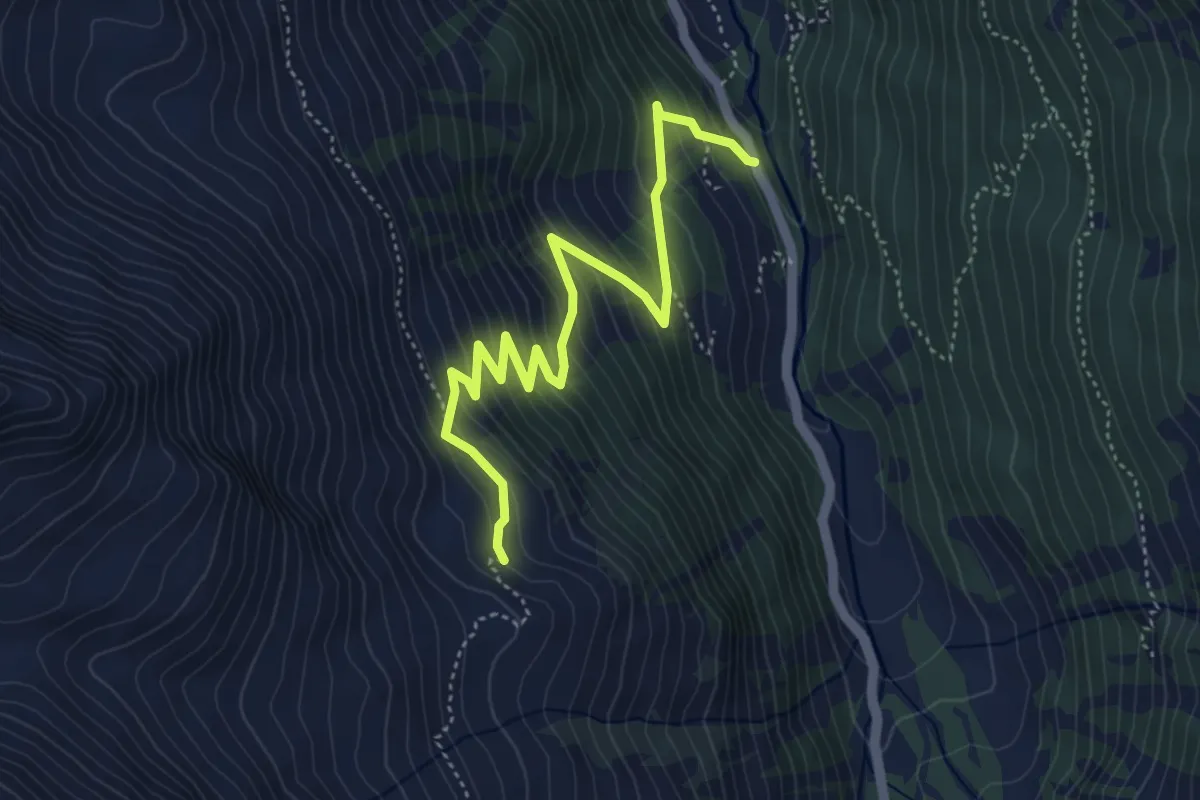
Medium · Trail
Les Mayentsets – Alléve
5.2 km · ↑ 487 m · 2 h 16 min · 14 km away
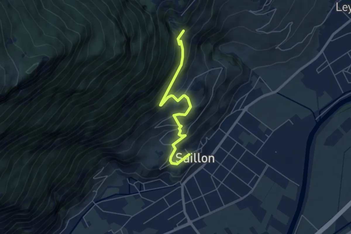
Medium · Trail
Saillon - Passerelle à Farinet
5.1 km · ↑ 356 m · 1 h 59 min · 15 km away
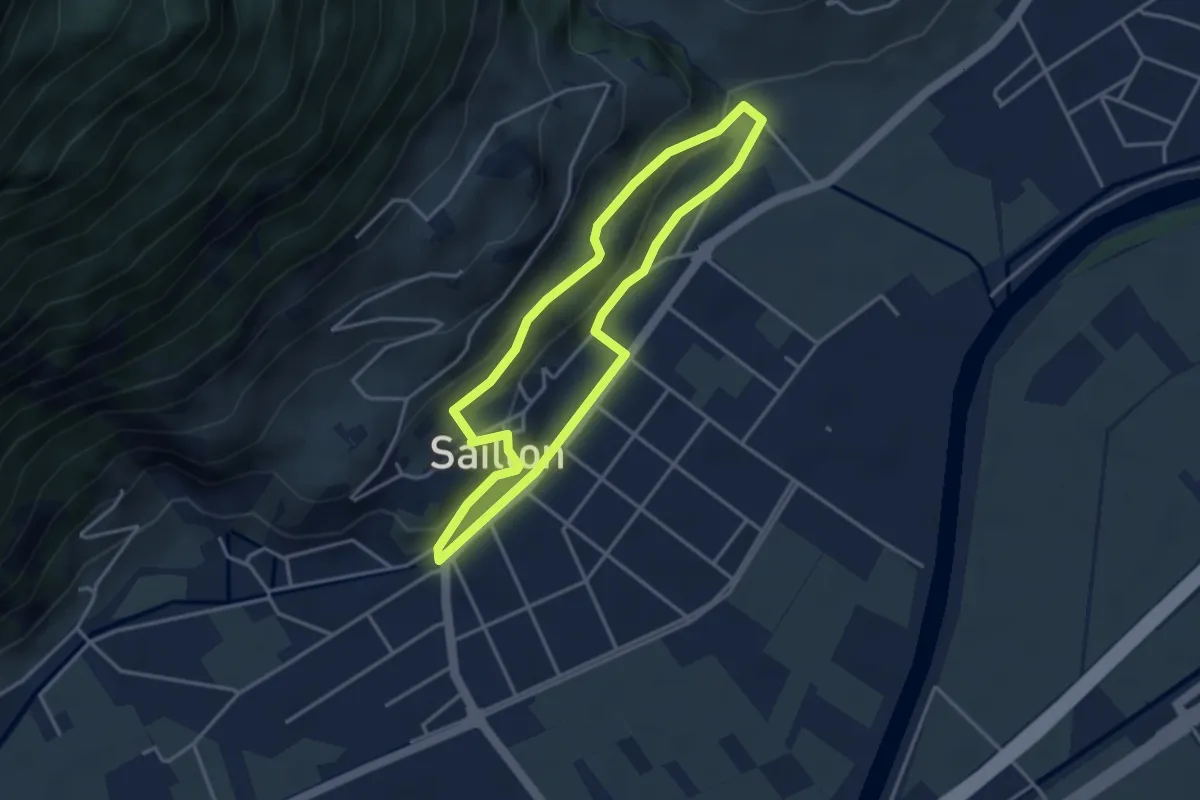
Easy · Trail
Chemin des amandiers
3.4 km · ↑ 128 m · 1 h 7 min · 15 km away
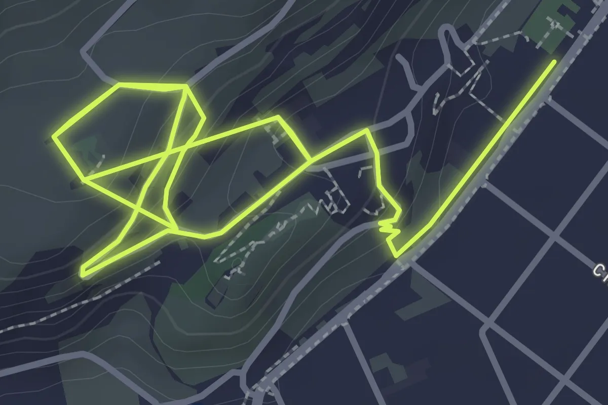
Easy · Trail
Sentier des vitreaux
2.7 km · ↑ 162 m · 1 h · 15 km away
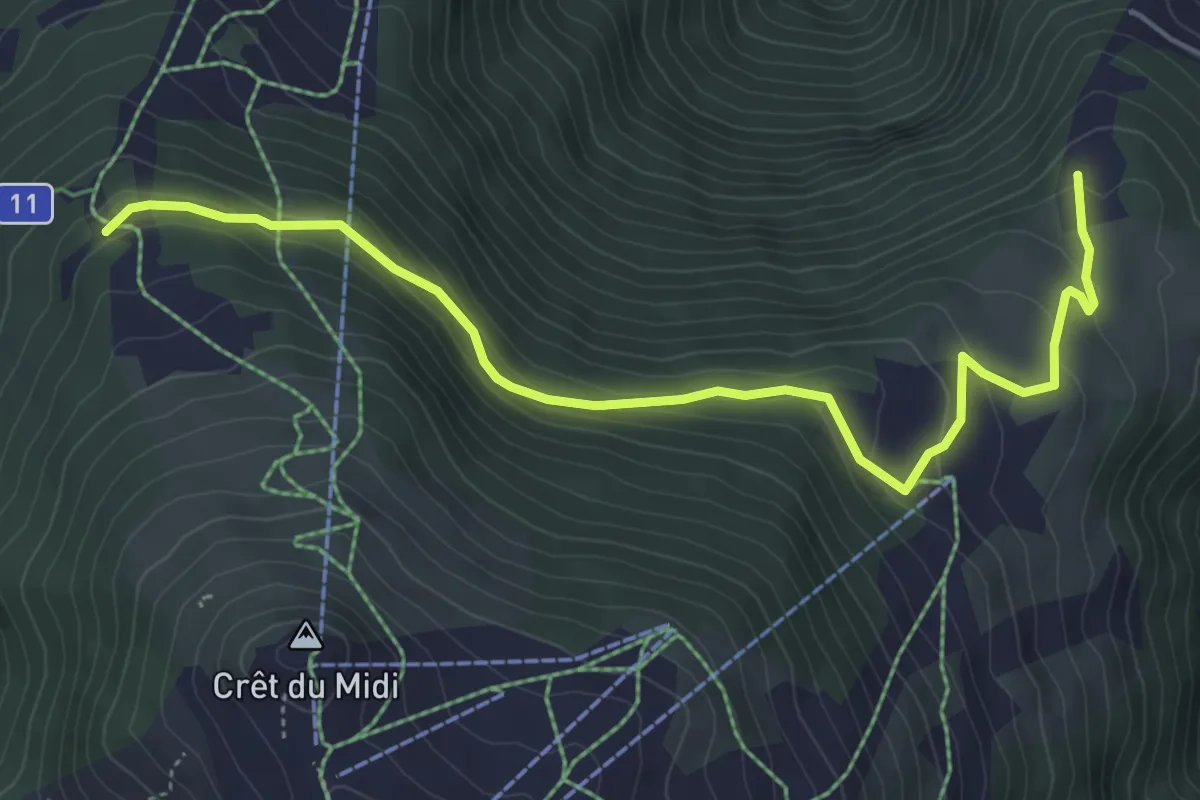
Easy · Trail
Les Planards – Les Evouettes
5.7 km · ↑ 249 m · 1 h 53 min · 15 km away
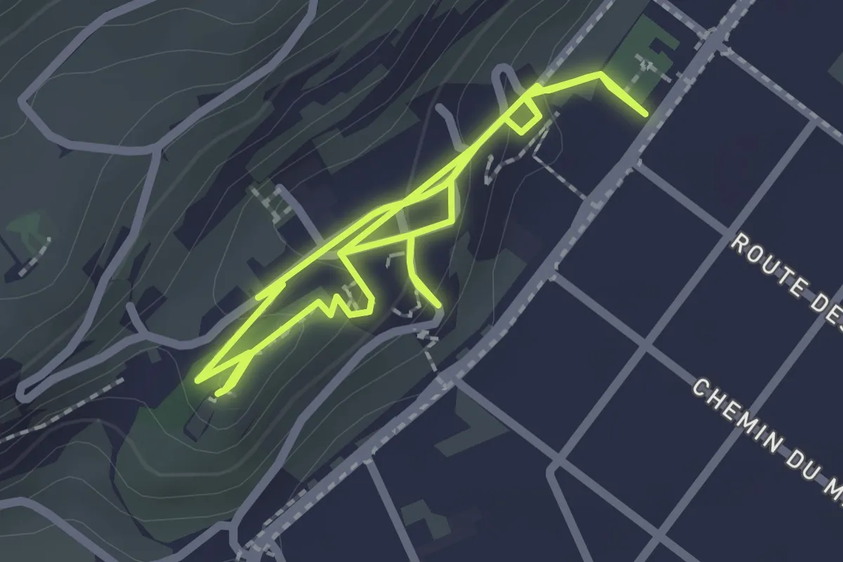
Demanding · Trail
Traces du passé - jardin médiéval
2.1 km · ↑ 118 m · 45 min · 15 km away
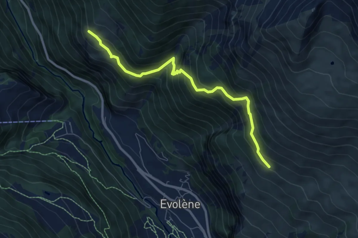
Medium · Trail
Cotter - Volvovron
7.0 km · ↑ 703 m · 3 h 11 min · 15 km away
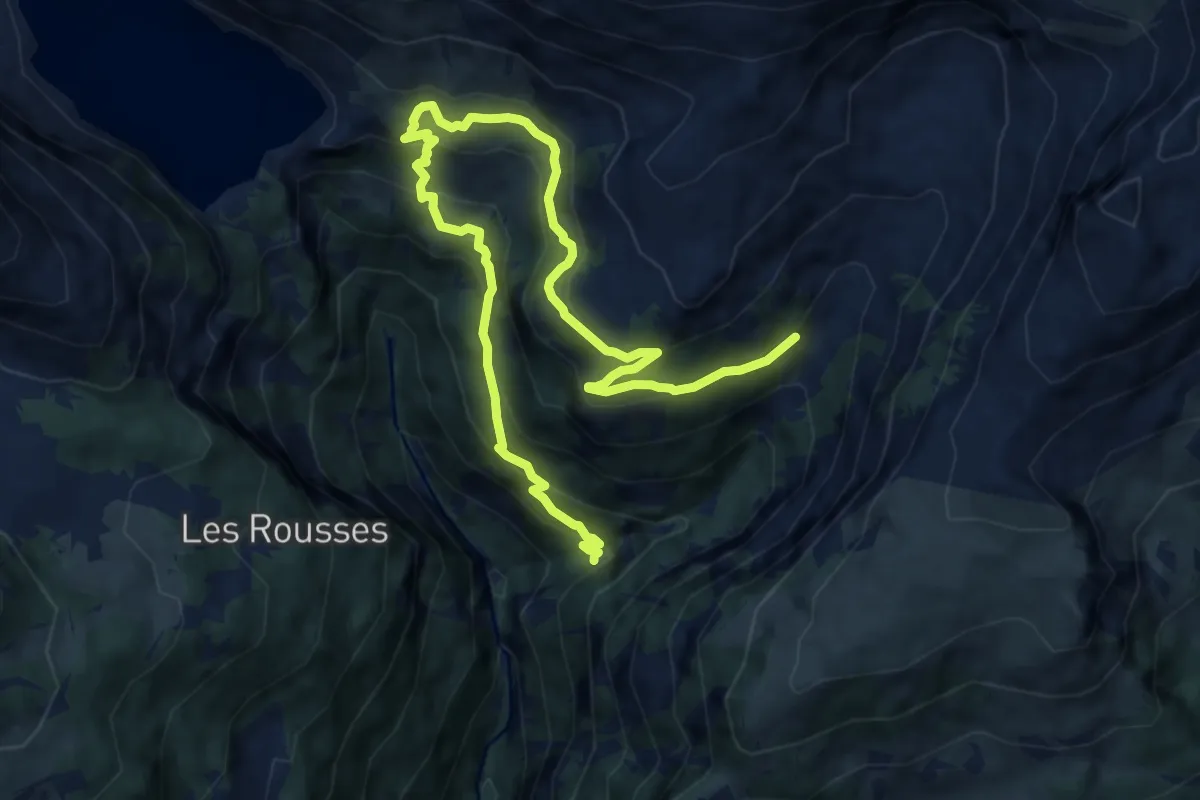
Demanding · Trail
Er de Chermignon-Pra du Taillour
12.7 km · ↑ 893 m · 4 h 56 min · 15 km away
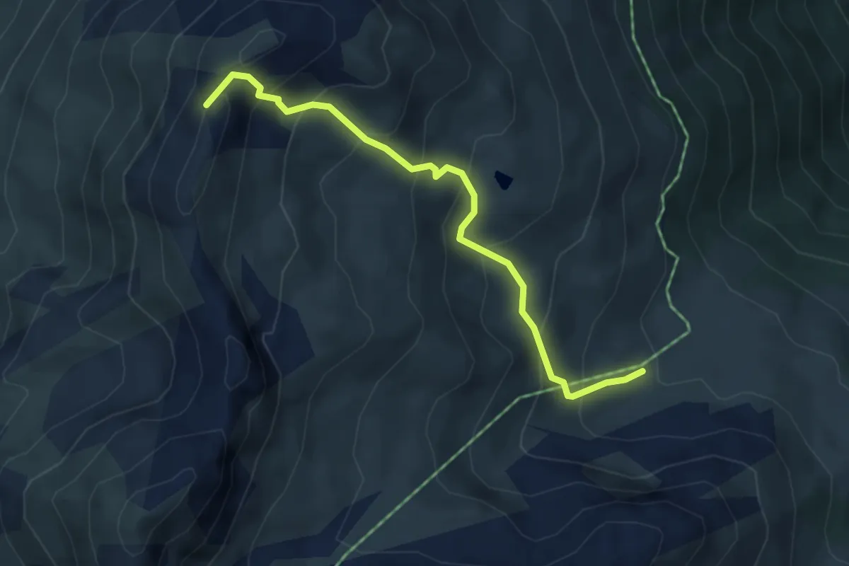
Medium · Summit
Orzival – La Brinta
4.3 km · ↑ 421 m · 1 h 55 min · 15 km away
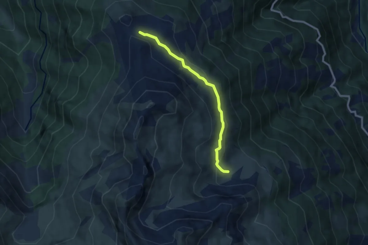
Easy · Trail
Orzival – Le Crêt du Midi
5.9 km · ↑ 253 m · 1 h 57 min · 15 km away
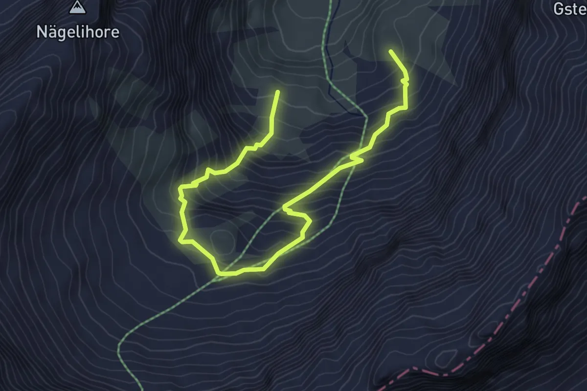
Medium · Trail
Olden – Obere Olden
5.6 km · ↑ 618 m · 2 h 40 min · 15 km away
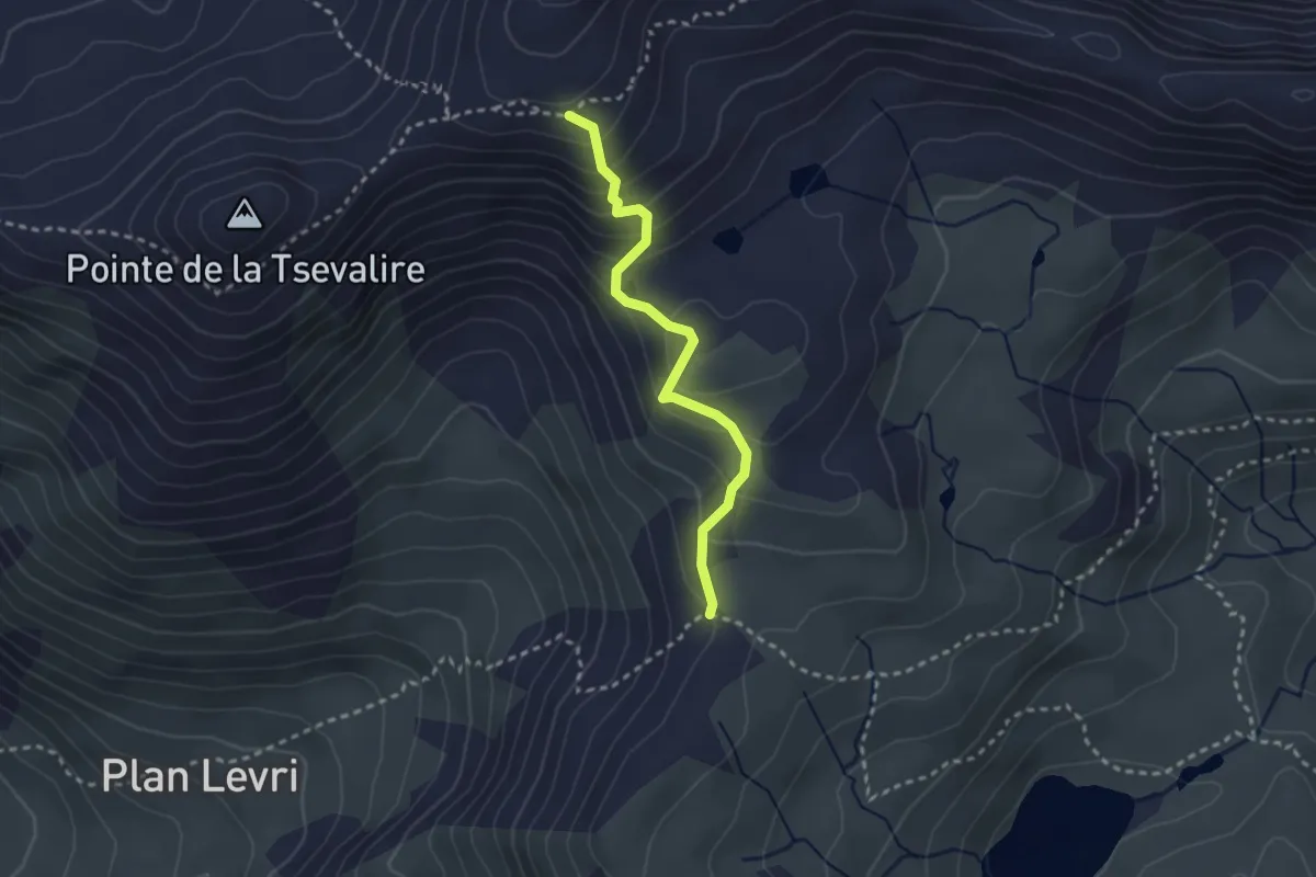
Medium · Cabin
Pas de Lona - Becs de Bosson
2.6 km · ↑ 247 m · 1 h 8 min · 15 km away
Medium · Trail
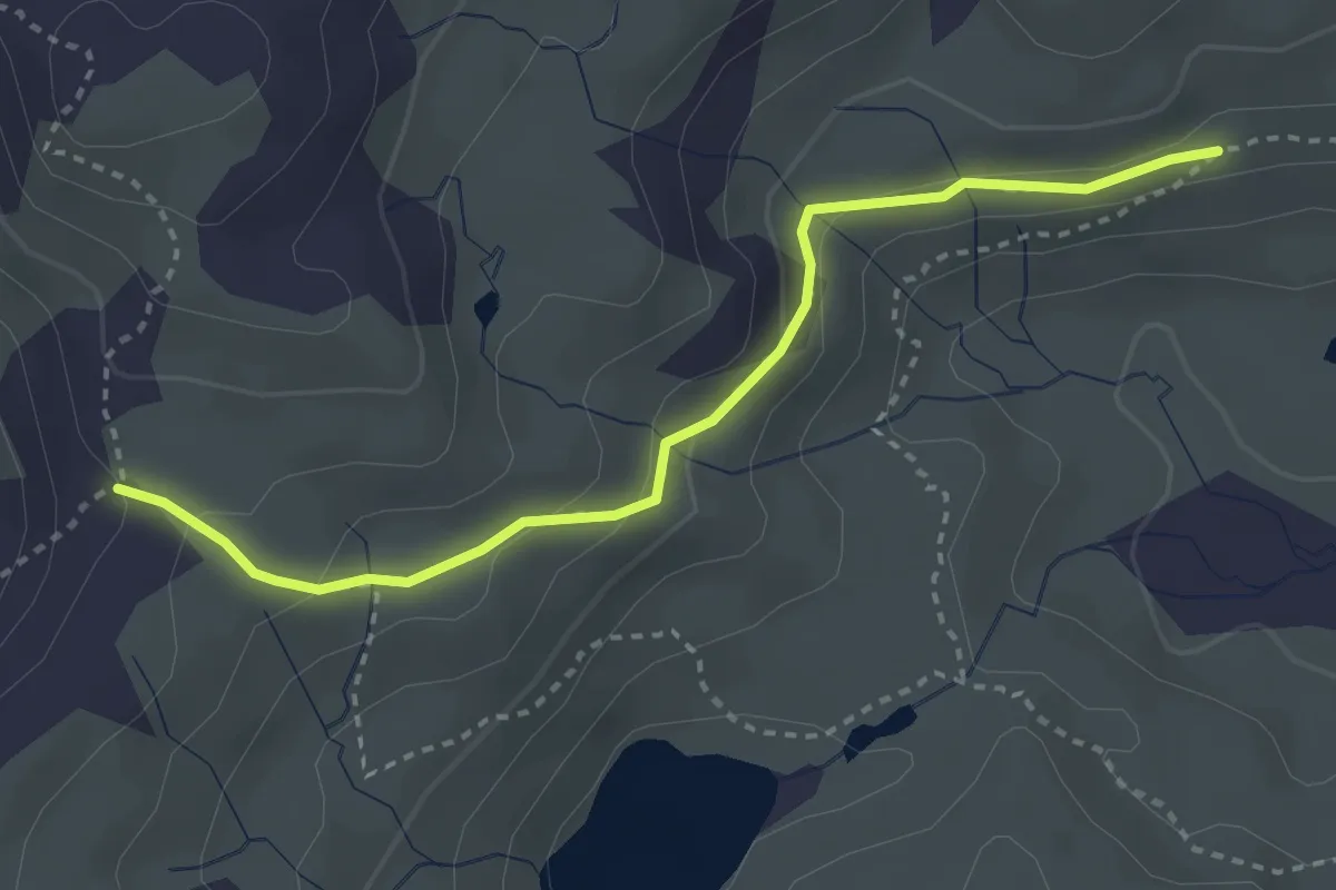
Lona – Pas de Lona
3.3 km · ↑ 130 m · 1 h 3 min · 15 km away
Medium · Cabin
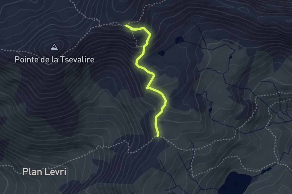
Pas de Lona - Becs de Bosson
2.7 km · ↑ 245 m · 1 h 11 min · 15 km away