Trails near Spiez
411 hikes starting within 15 km, nearest first.
Nearest first, page 3 of 9
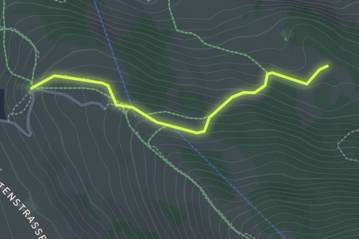
Medium · Cabin
Aeschiallmend – Ufem Viertel
2.4 km · ↑ 136 m · 51 min · 7 km away
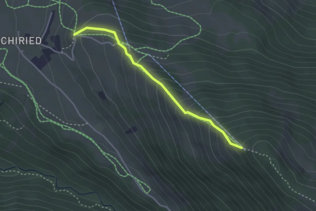
Medium · Trail
Spitz – Aeschiallmend
2.7 km · ↑ 284 m · 1 h 16 min · 7 km away
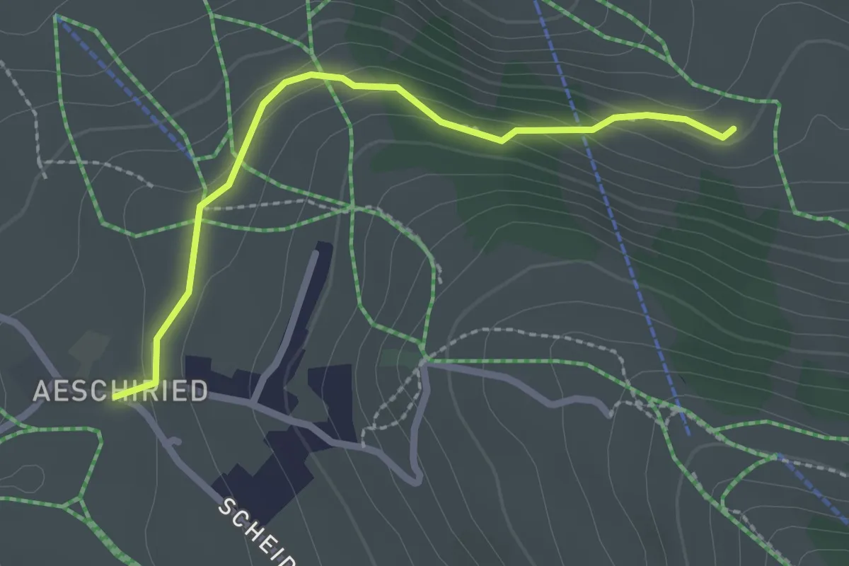
Easy · Trail
Hellbode – Aeschiried
2.2 km · ↑ 88 m · 43 min · 7 km away
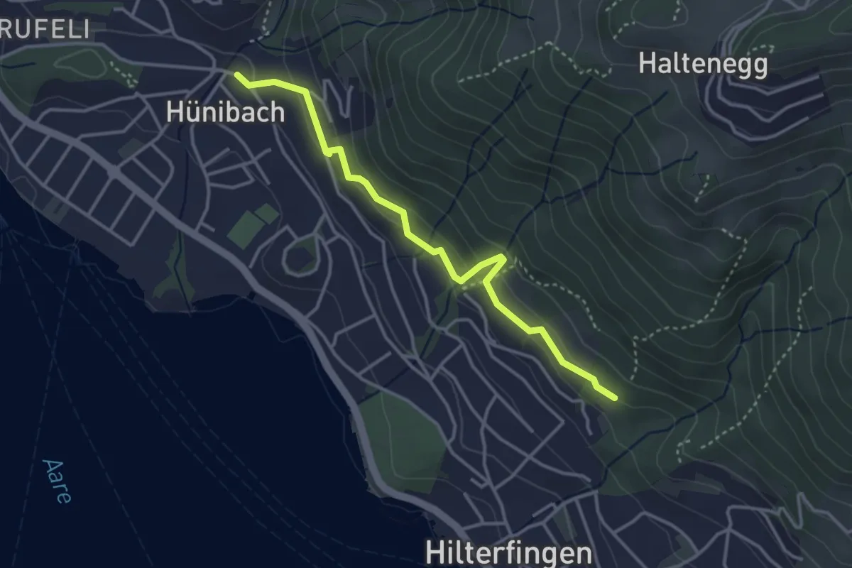
Easy · Trail
Hünibach – Hilterfingen Burech
3.5 km · ↑ 176 m · 1 h 13 min · 7 km away
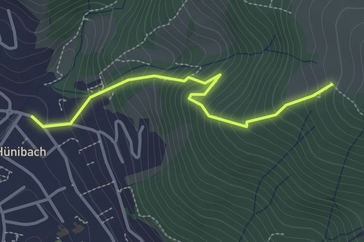
Medium · Trail
Hünibach – Eichholzweid
2.5 km · ↑ 322 m · 1 h 18 min · 7 km away
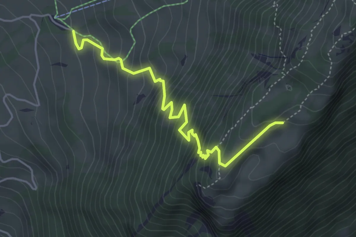
Medium · Trail
Unterbergli – Wilerallmi
4.6 km · ↑ 504 m · 2 h 10 min · 7 km away
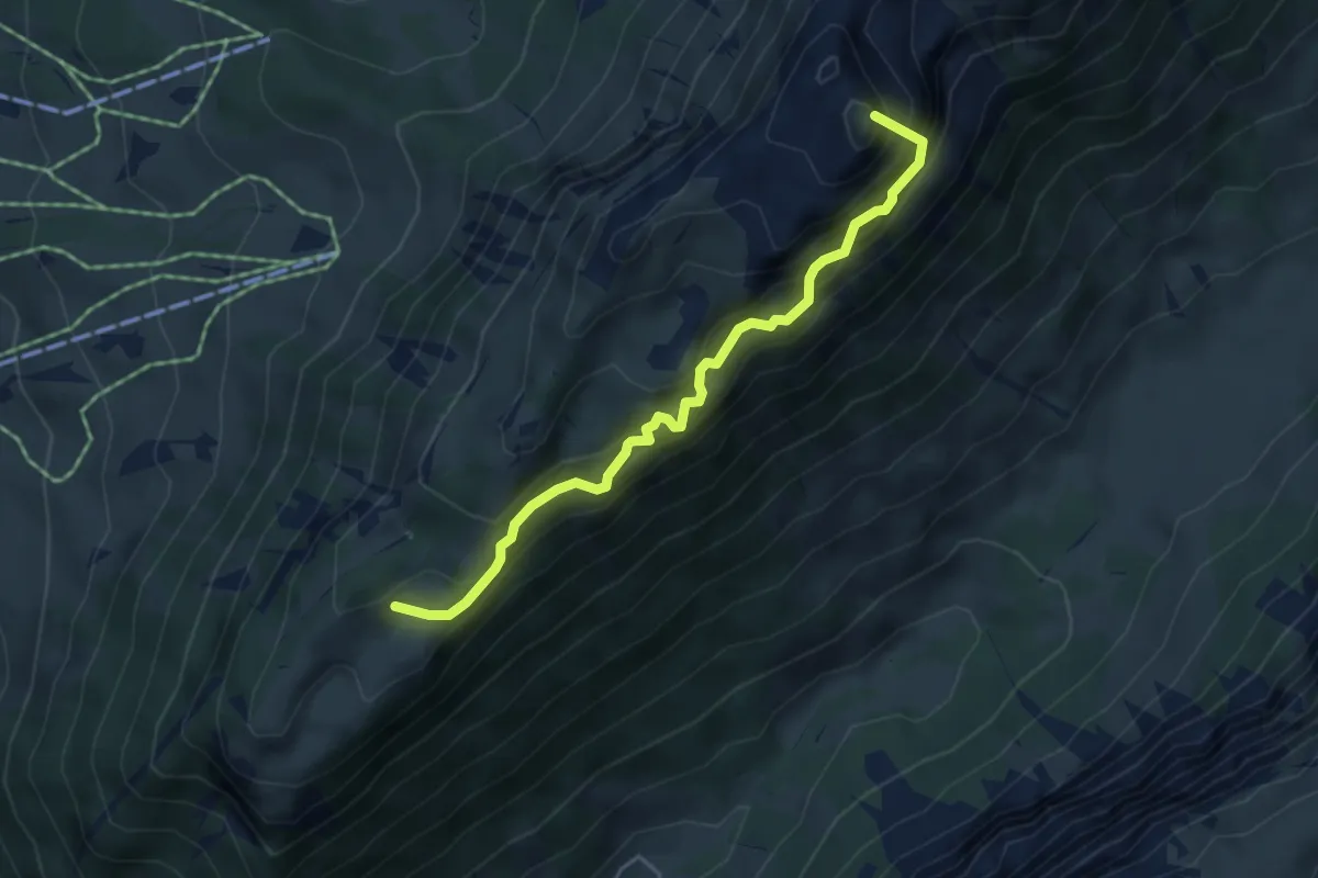
Demanding · Summit
Unterbergli – Schafloch
4.5 km · ↑ 699 m · 2 h 35 min · 7 km away
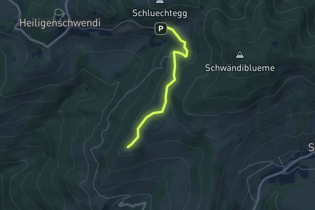
Easy · Trail
Niesenbänkli – Weide
3.9 km · ↑ 140 m · 1 h 13 min · 7 km away
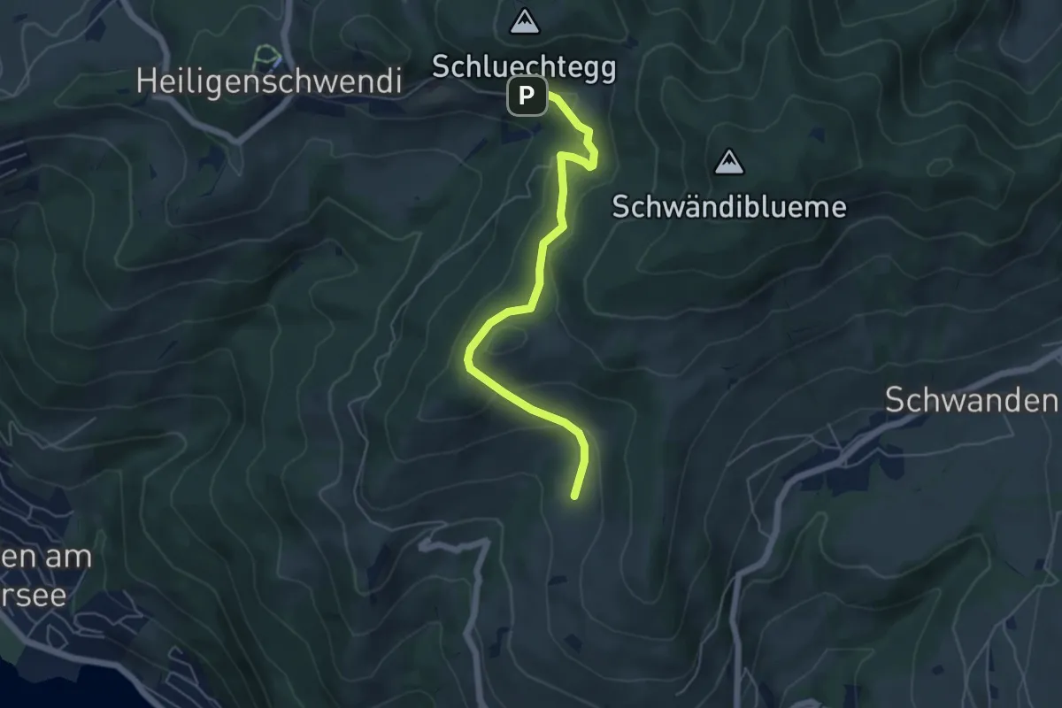
Easy · Trail
Aeschlenallmi – Weide
5.2 km · ↑ 251 m · 1 h 46 min · 7 km away
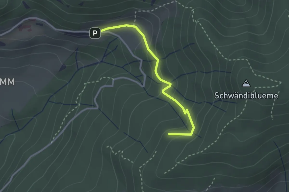
Easy · Trail
Hinderport – Weide
2.4 km · ↑ 184 m · 58 min · 7 km away
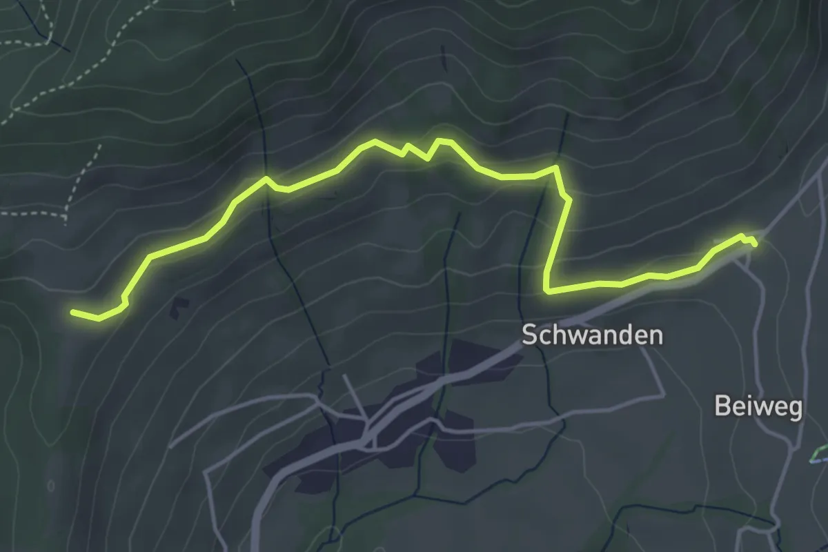
Easy · Trail
Margelsattel – Schwanden / Sagi
4.7 km · ↑ 195 m · 1 h 32 min · 7 km away
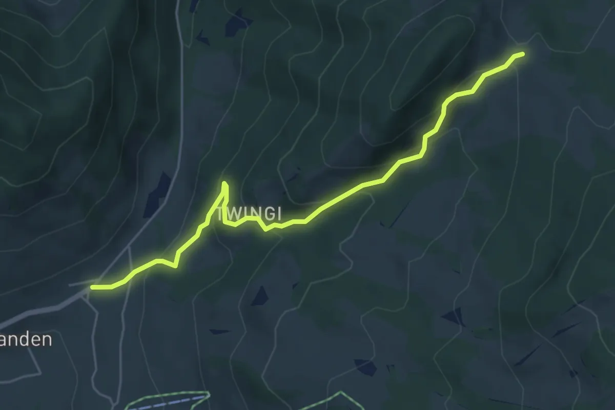
Easy · Trail
Schwanden Sagi – Dünzenegg
5.3 km · ↑ 282 m · 1 h 52 min · 7 km away
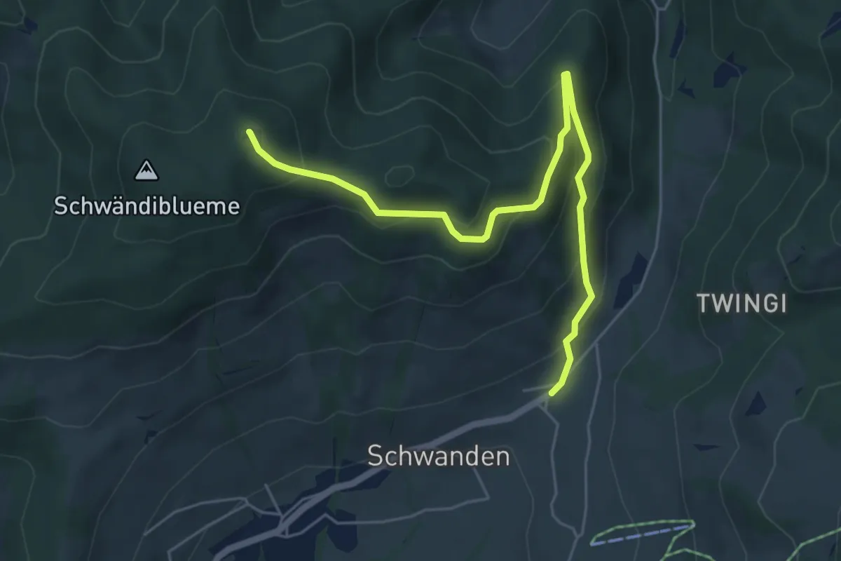
Medium · Summit
Blueme – Schwanden Sagi
5.9 km · ↑ 341 m · 2 h 8 min · 7 km away
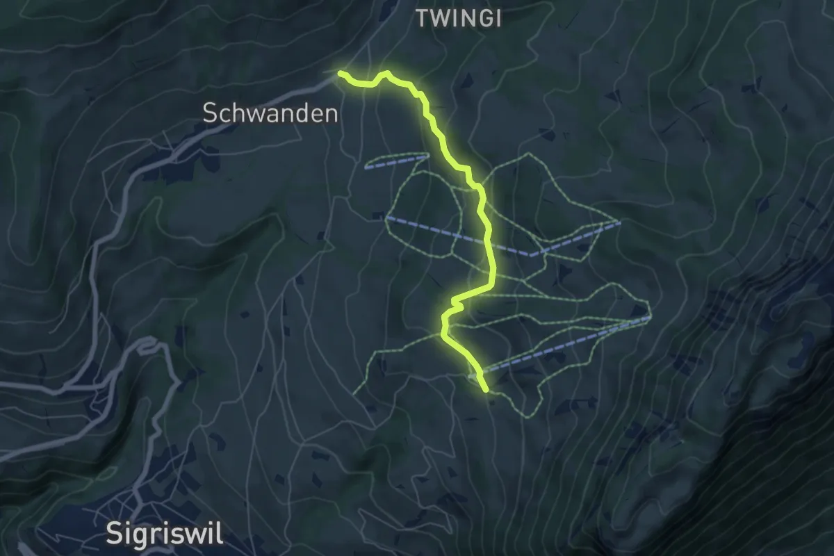
Easy · Trail
Wilerallmi – Schwanden Sagi
5.5 km · ↑ 261 m · 1 h 52 min · 7 km away
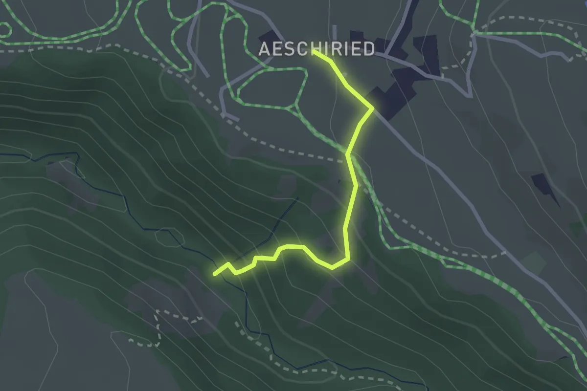
Medium · Trail
Stächgrabe – Aeschiried
2.0 km · ↑ 158 m · 49 min · 7 km away
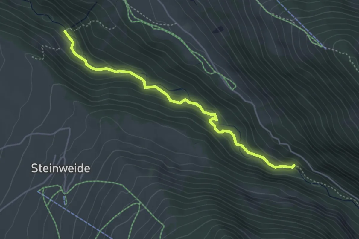
Medium · Trail
Staldenweid – Stächgrabe
4.1 km · ↑ 168 m · 1 h 20 min · 7 km away
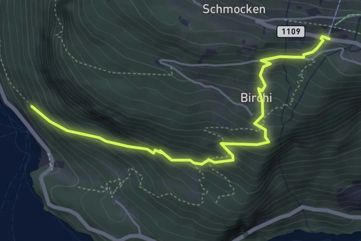
Medium · Trail
Fischbalme - Beatenberg
4.9 km · ↑ 503 m · 2 h 14 min · 7 km away
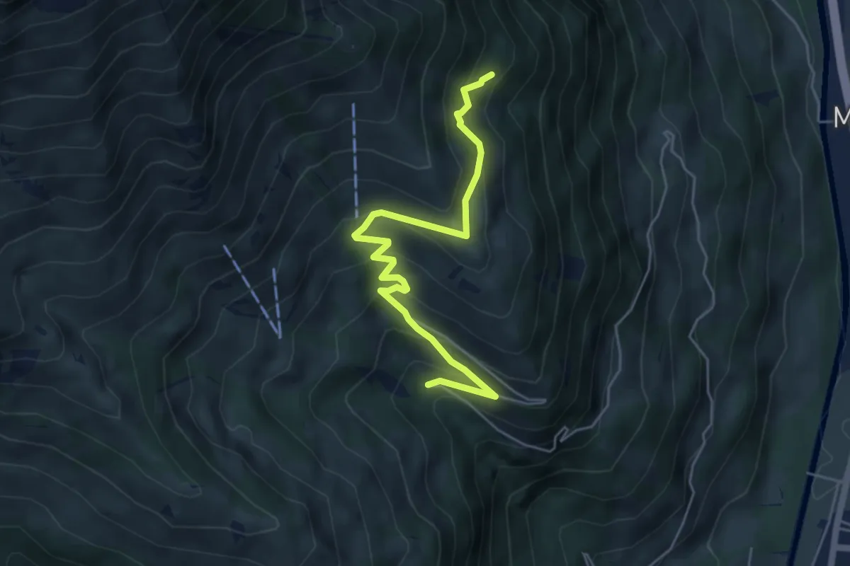
Medium · Trail
Stöpfweidleni – Rölleren
5.2 km · ↑ 336 m · 1 h 58 min · 7 km away
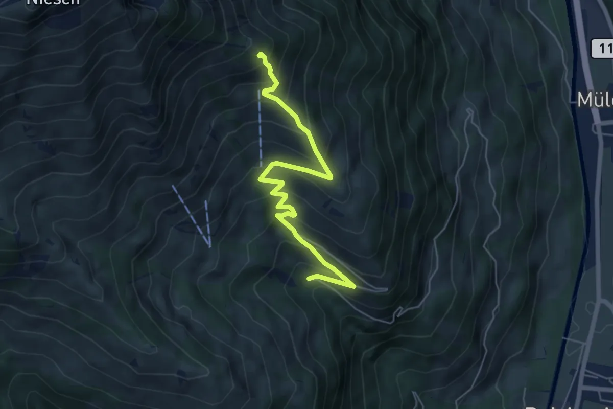
Medium · Trail
Stöpfweidleni – Schwandegg
5.6 km · ↑ 484 m · 2 h 22 min · 7 km away
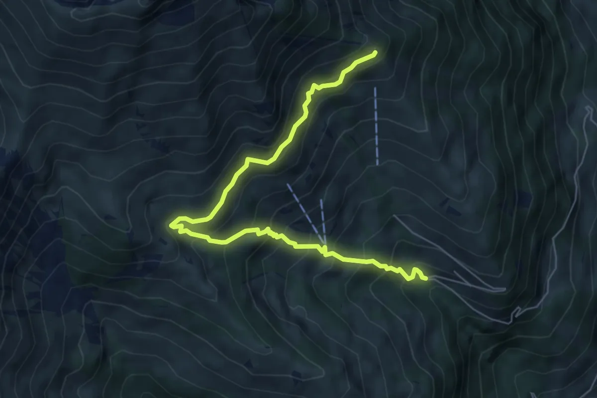
Medium · Trail
Schwandegg – Stöpfweidleni
6.8 km · ↑ 670 m · 3 h 4 min · 7 km away
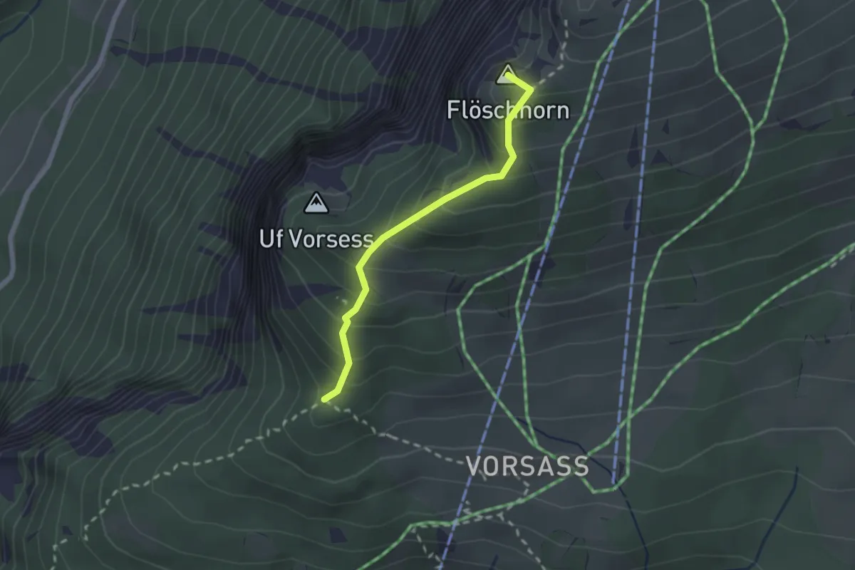
Medium · Summit
Vorsass Türli – Niederhorn
1.9 km · ↑ 217 m · 55 min · 7 km away
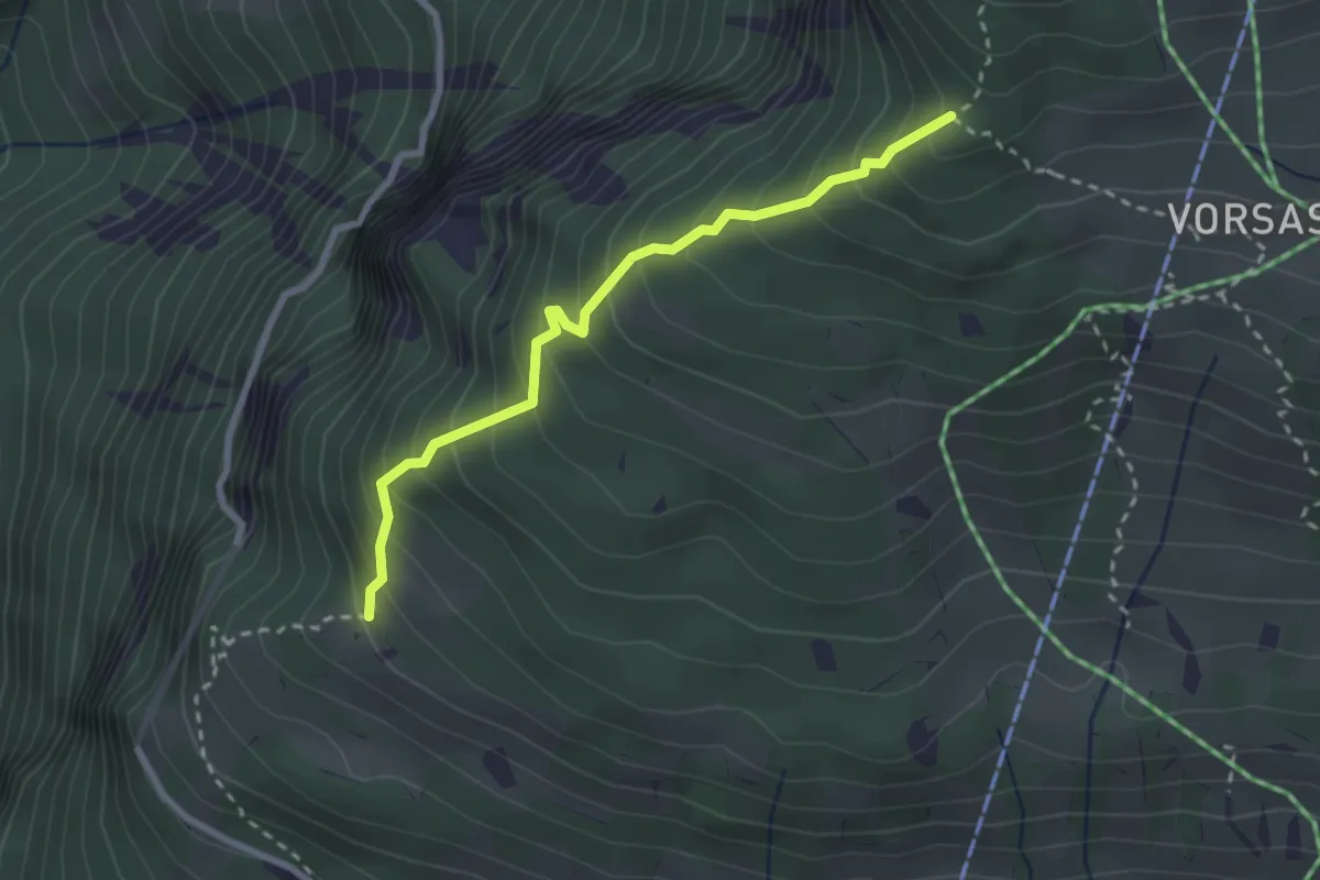
Medium · Trail
Habernlegi - Vorsass Türli
2.6 km · ↑ 332 m · 1 h 19 min · 7 km away
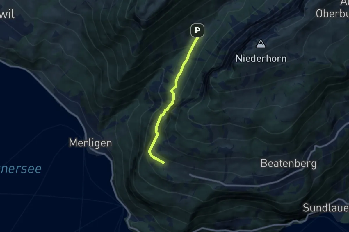
Medium · Trail
Waldbrand – Justistal/Grön
5.4 km · ↑ 337 m · 2 h 1 min · 7 km away
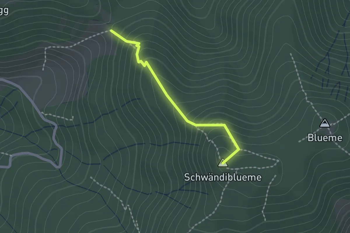
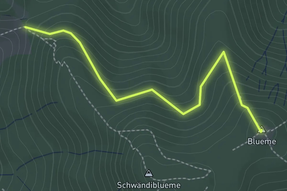
Easy · Summit
Wolfgrube – Blume / Aussichtsturm
1.6 km · ↑ 138 m · 41 min · 7 km away
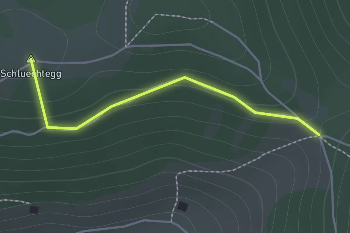
Easy · Summit
Wolfgrube – Blueme
2.4 km · ↑ 171 m · 57 min · 7 km away
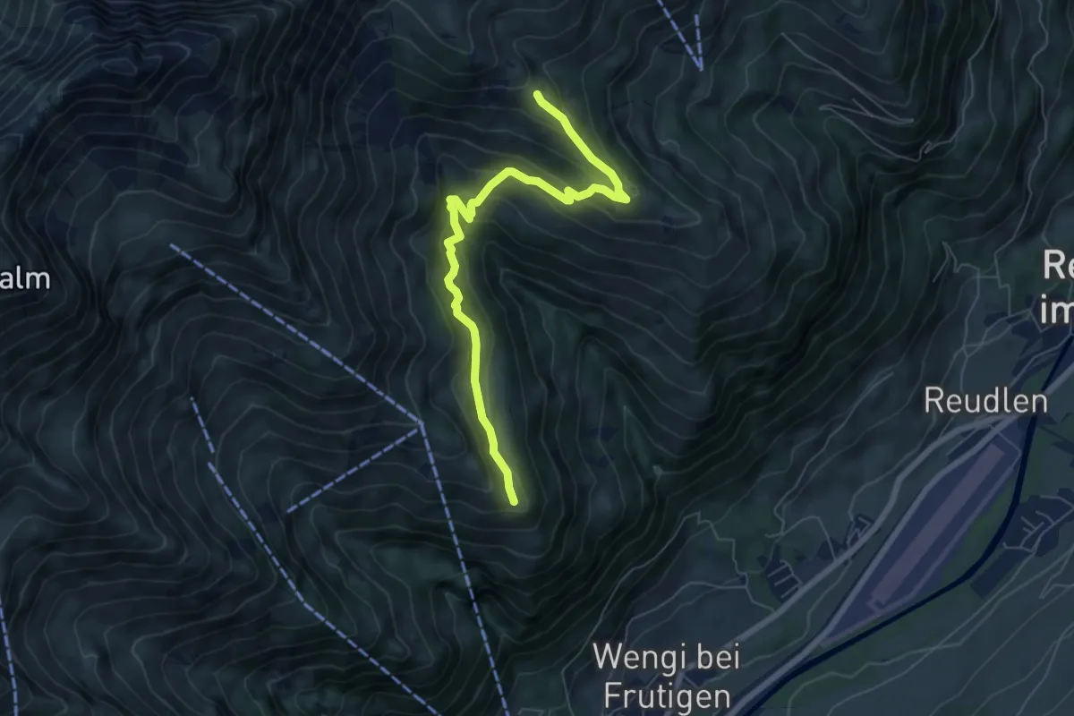
Easy · Summit
Gründungsahorn – Wolfsgrube
1.2 km · ↑ 47 m · 23 min · 7 km away
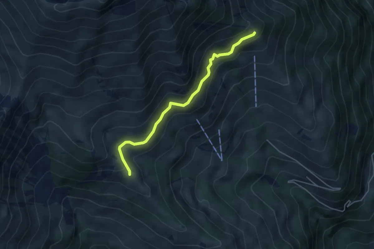
Medium · Trail
Eggweid – Unterniesen
6.7 km · ↑ 428 m · 2 h 30 min · 7 km away
Easy · Trail
Unterniesen – Schwandegg
3.8 km · ↑ 236 m · 1 h 25 min · 7 km away
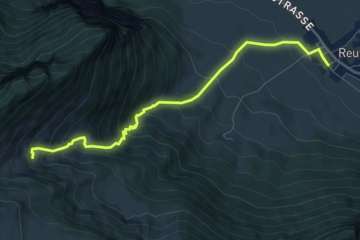
Medium · Trail
Reutigen – Lengeberg
7.0 km · ↑ 679 m · 3 h 7 min · 7 km away
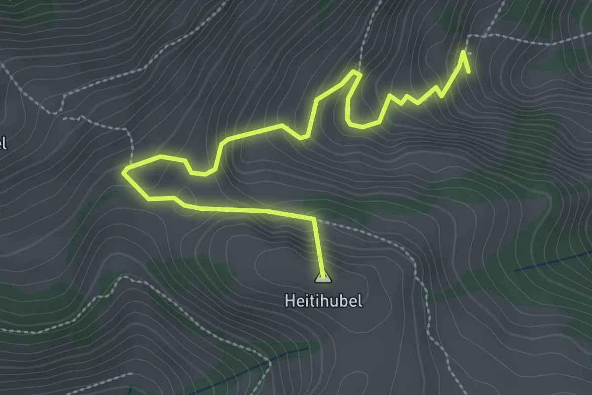
Medium · Summit
Lengeberg – Oberes Heiti
3.5 km · ↑ 289 m · 1 h 27 min · 7 km away
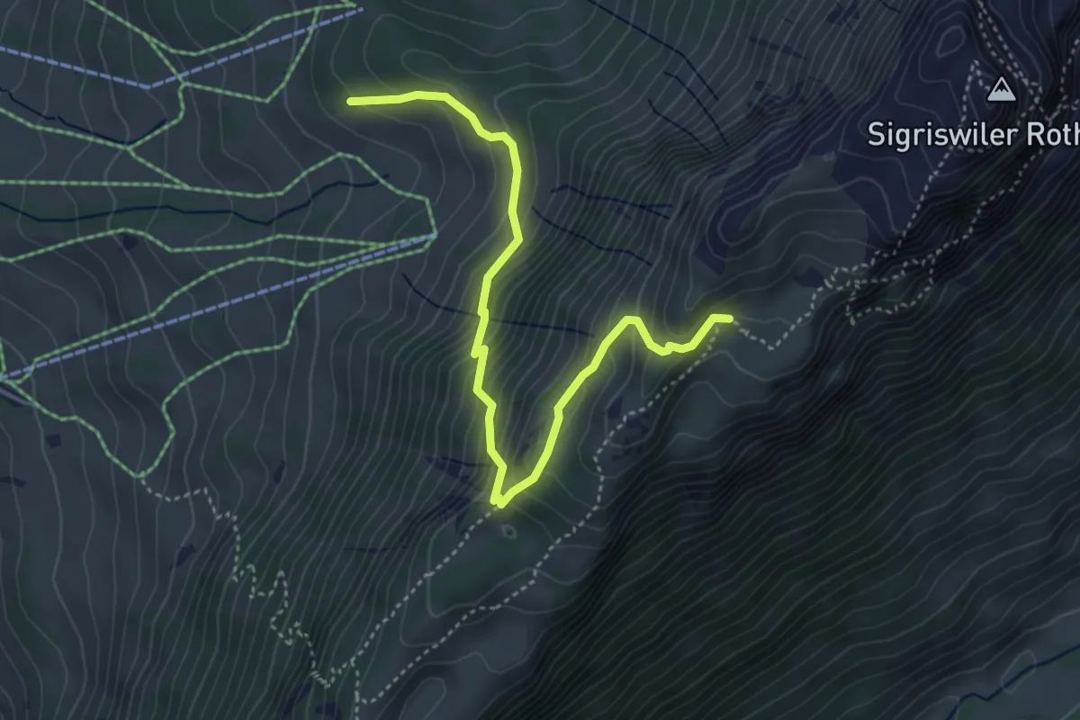
Medium · Trail
Oberbergli – Bodmi
4.6 km · ↑ 426 m · 2 h 1 min · 7 km away
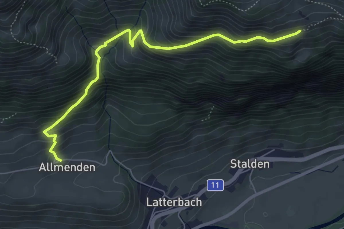
Medium · Trail
Allmenden – Unters Heiti
5.7 km · ↑ 573 m · 2 h 36 min · 7 km away
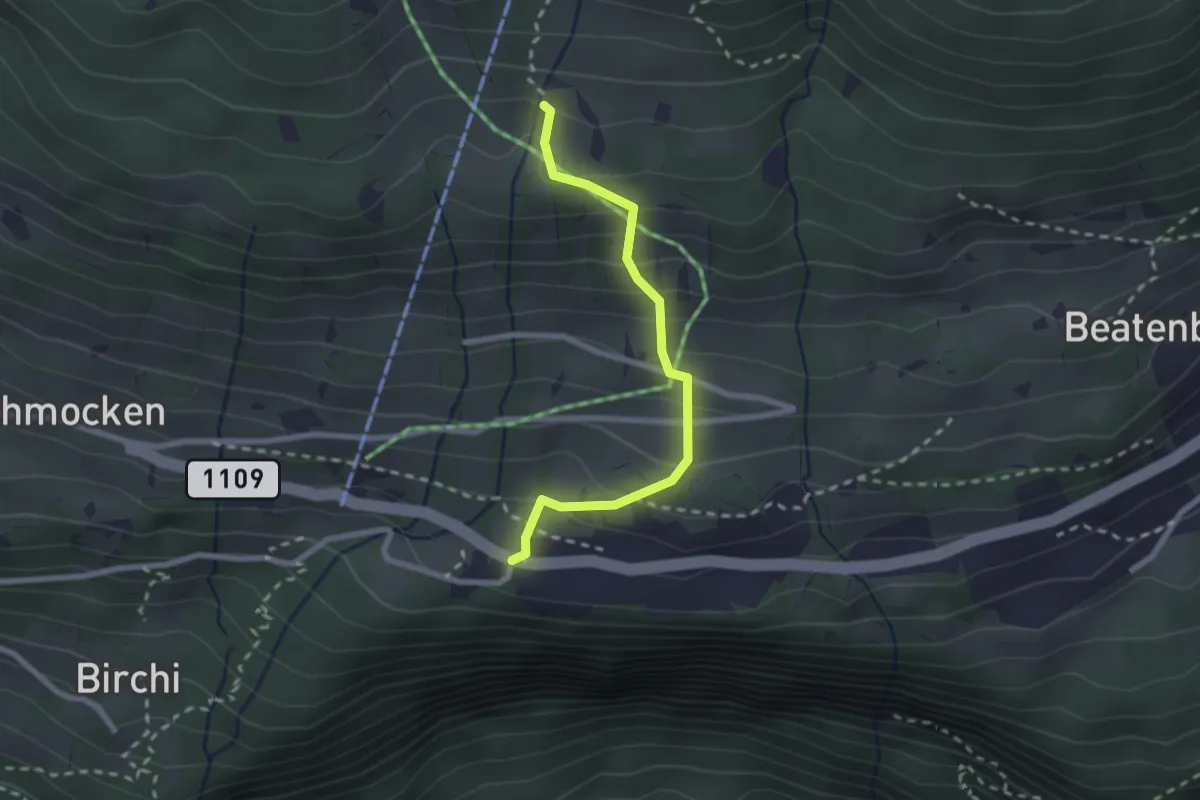
Medium · Trail
Boden – Beatenberg Altersheim
2.2 km · ↑ 251 m · 1 h 4 min · 7 km away
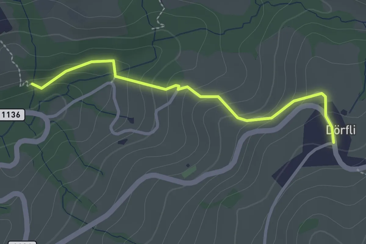
Easy · Trail
Cholerenschlucht – Hl. Schwendi Dörfli
2.4 km · ↑ 142 m · 52 min · 7 km away
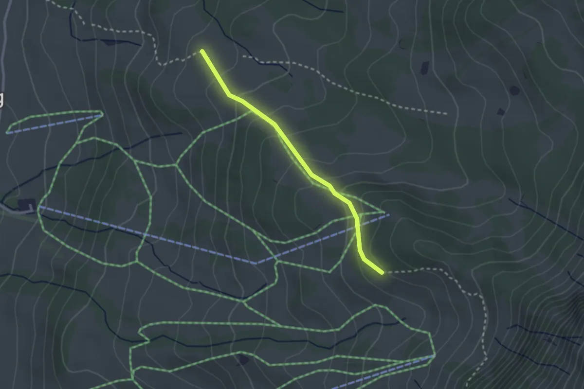
Easy · Trail
Stampf – Bodmi
2.3 km · ↑ 166 m · 54 min · 7 km away
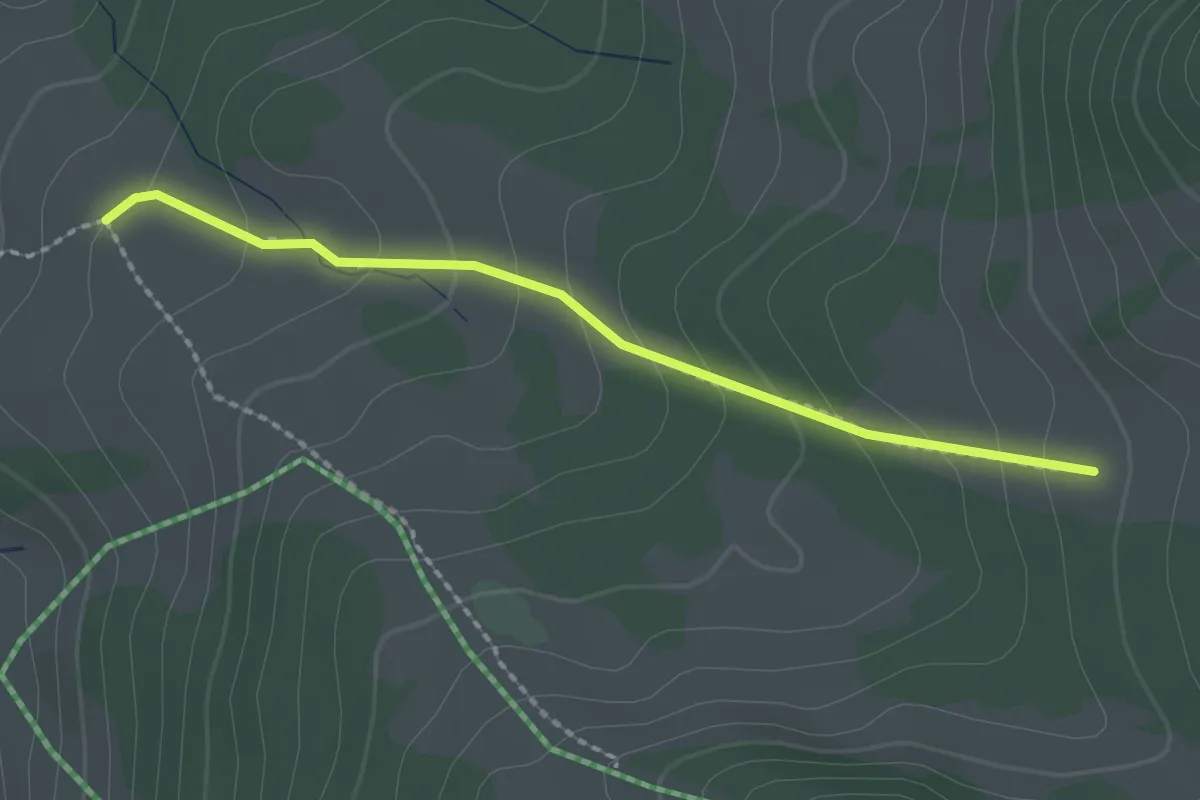
Easy · Trail
Stampf – Oberi Matte
2.0 km · ↑ 132 m · 46 min · 7 km away
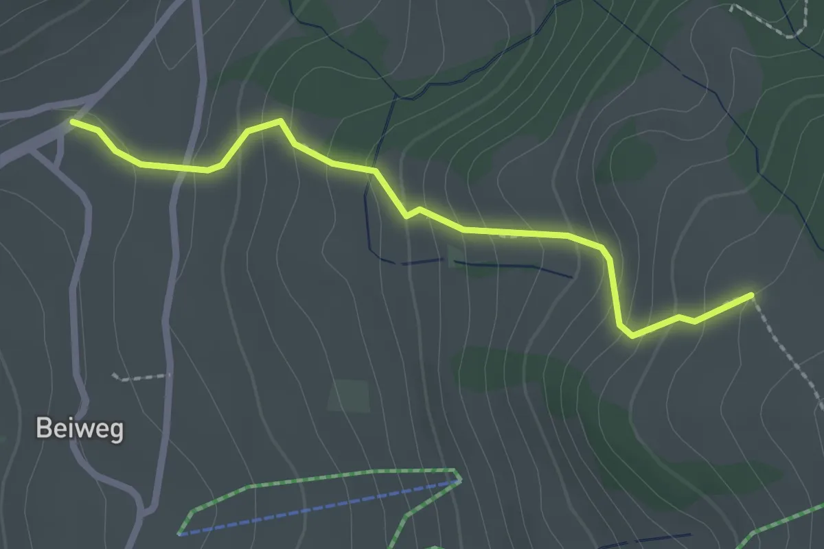
Easy · Trail
Schwanden Sagi – Stampf
2.2 km · ↑ 181 m · 55 min · 7 km away
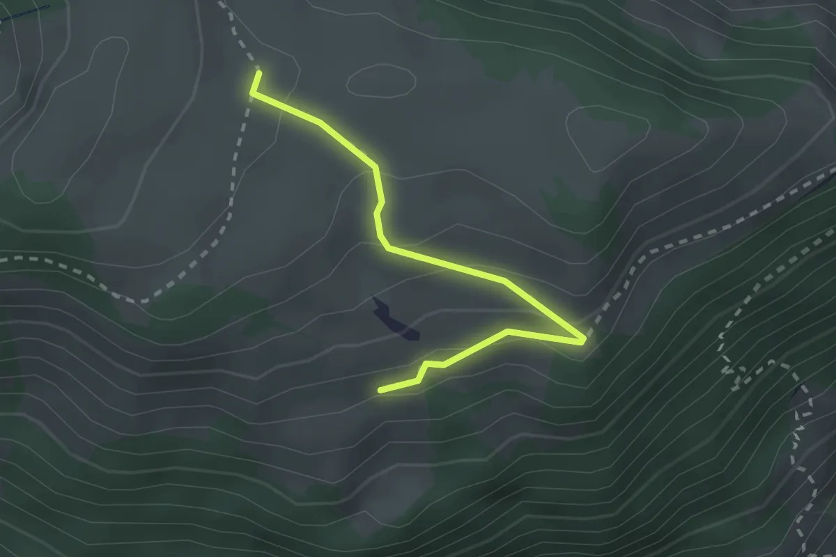
Easy · Trail
Unteres Heiti – Oberes Heiti
2.3 km · ↑ 126 m · 48 min · 7 km away
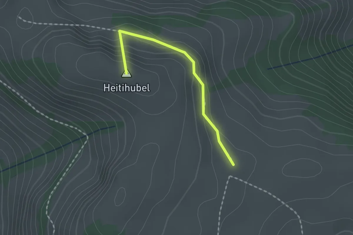
Medium · Summit
Matten – Oberes Heiti? / Günzenen? / Wimmis?
1.4 km · ↑ 63 m · 28 min · 7 km away
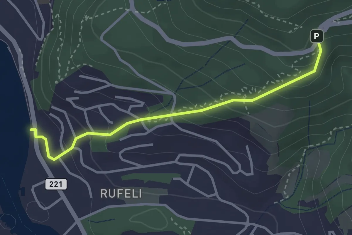
Easy · Trail
Bächimatt – Scheidweg
2.8 km · ↑ 255 m · 1 h 13 min · 7 km away
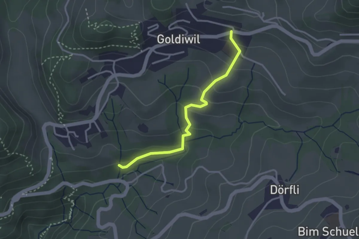
Easy · Trail
Goldiwil – Cholerenschlucht
2.7 km · ↑ 141 m · 56 min · 7 km away
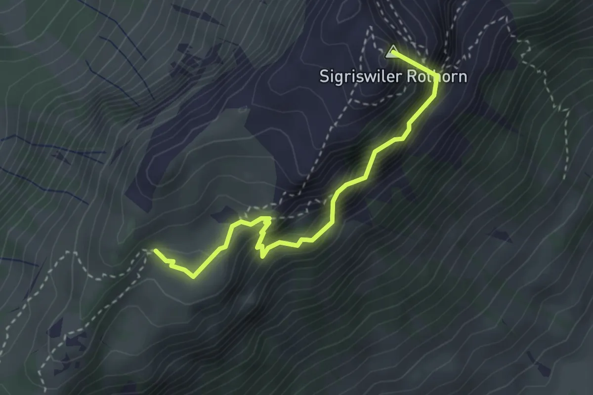
Demanding · Summit
Schafloch – Oberbergli
3.0 km · ↑ 402 m · 1 h 35 min · 7 km away
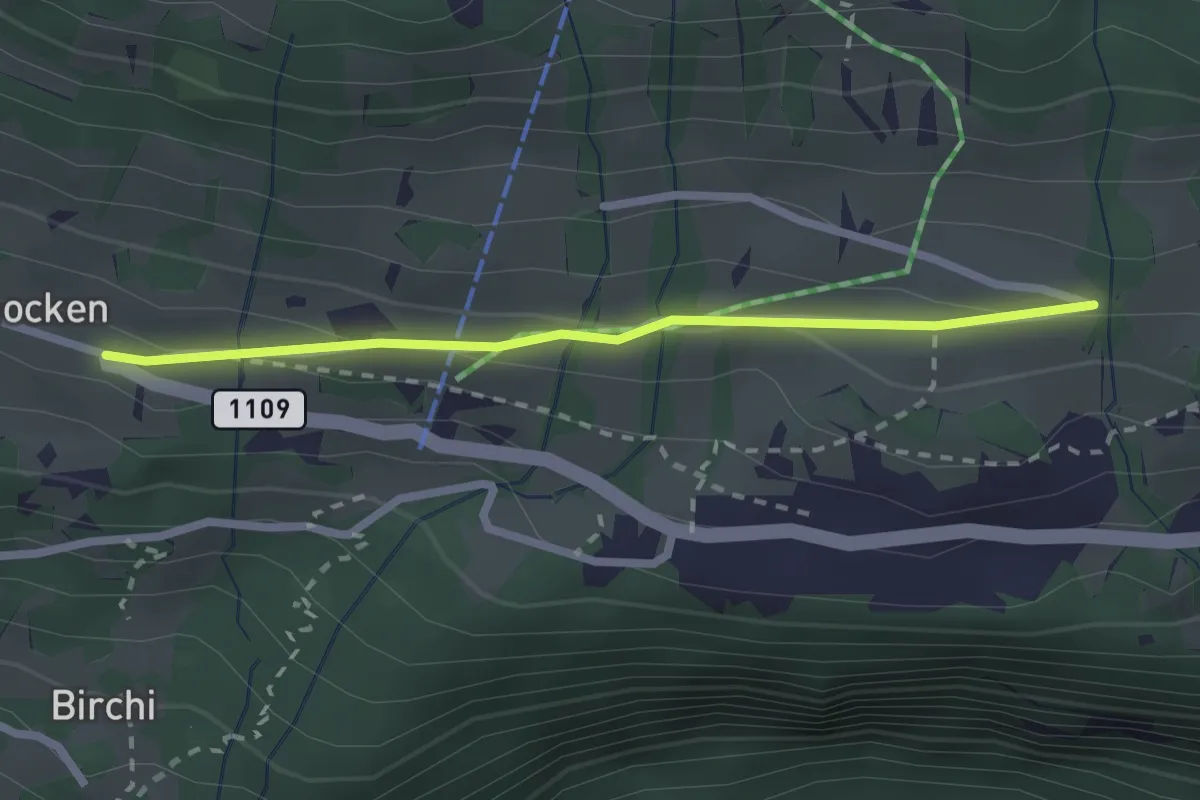
Easy · Trail
Riedboden – Schmocken
2.2 km · ↑ 72 m · 41 min · 7 km away
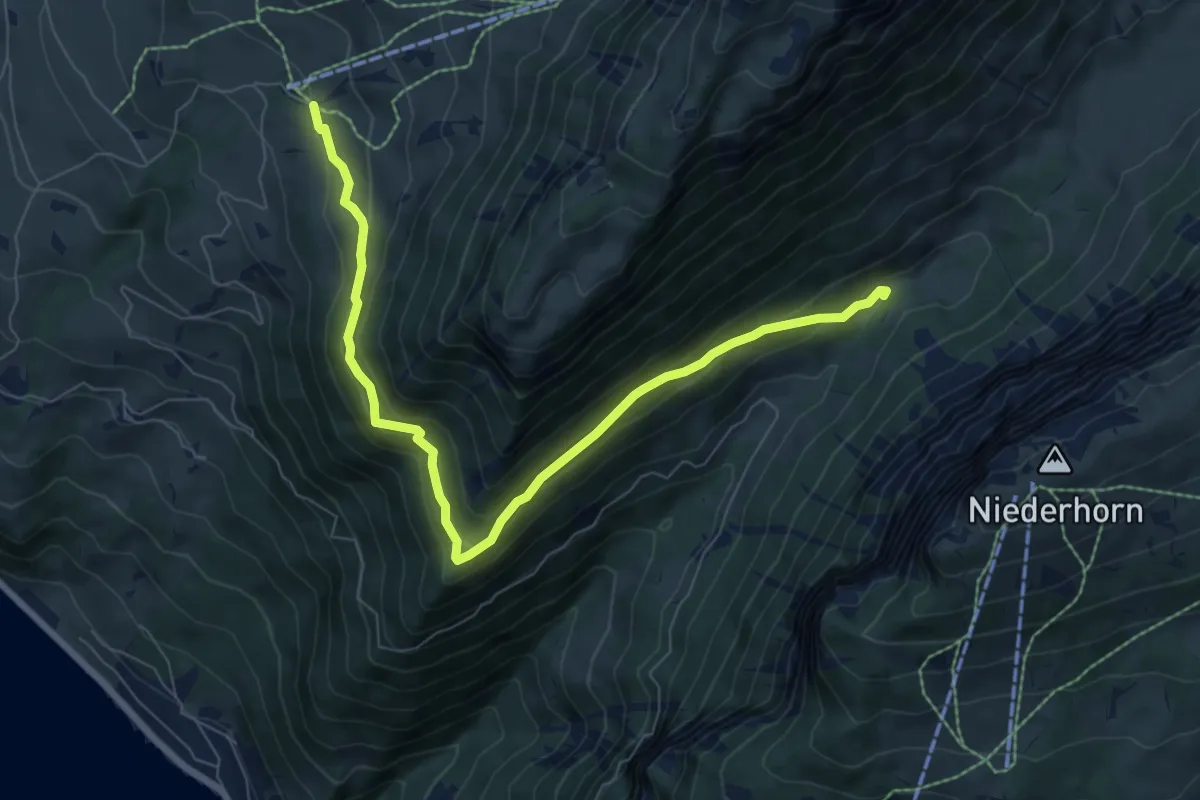
Medium · Trail
Justistal – Wilerallmi
8.1 km · ↑ 405 m · 2 h 48 min · 8 km away
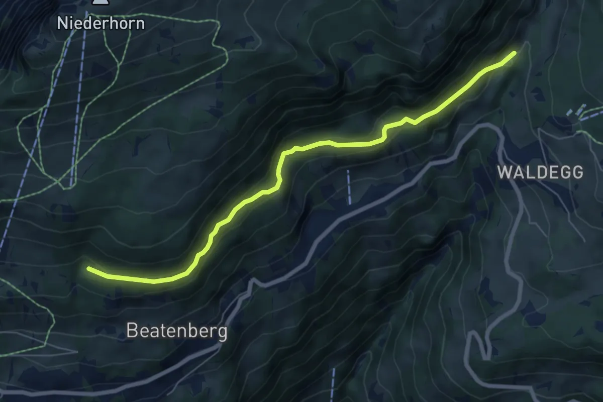
Easy · Trail
Chüelauigrabe – Spirewald
6.7 km · ↑ 262 m · 2 h 8 min · 8 km away
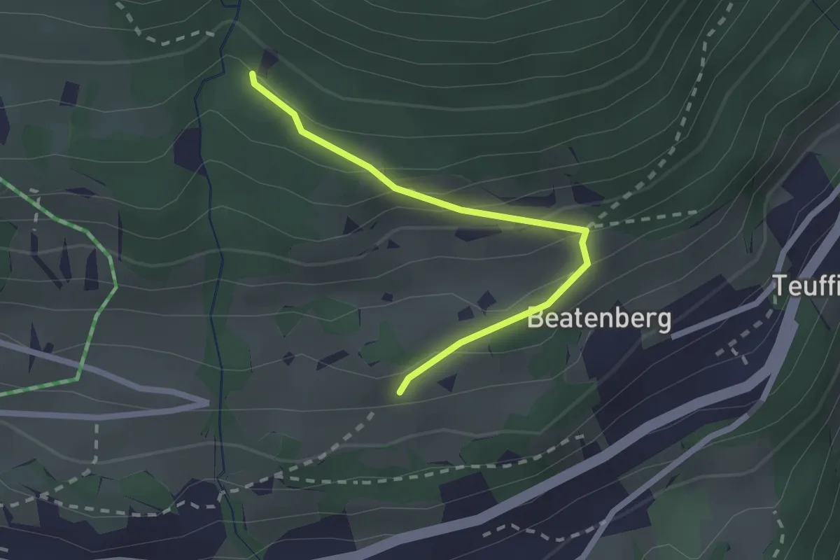
Easy · Trail
Chüelauigrabe – Rossi
2.0 km · ↑ 159 m · 50 min · 8 km away
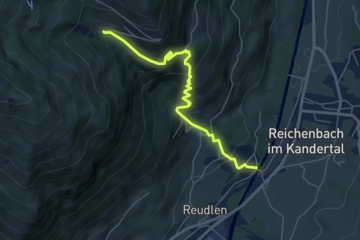
Medium · Trail
Reudlenbrücke – Stöpfweidleni
5.1 km · ↑ 526 m · 2 h 20 min · 8 km away
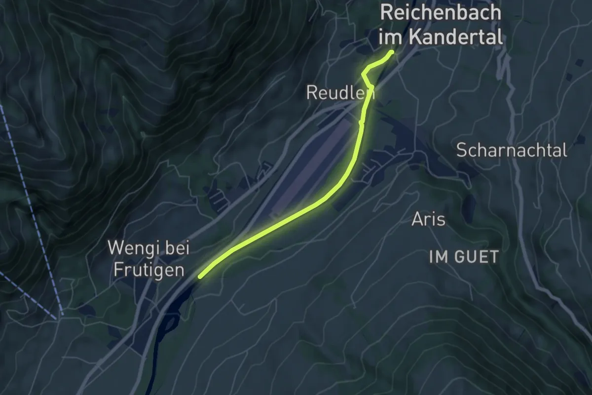
Easy · Trail
Reudlenbrücke - Schwandisteg
5.0 km · ↑ 41 m · 1 h 16 min · 8 km away