Trails near Spiez
411 hikes starting within 15 km, nearest first.
Nearest first, page 4 of 9
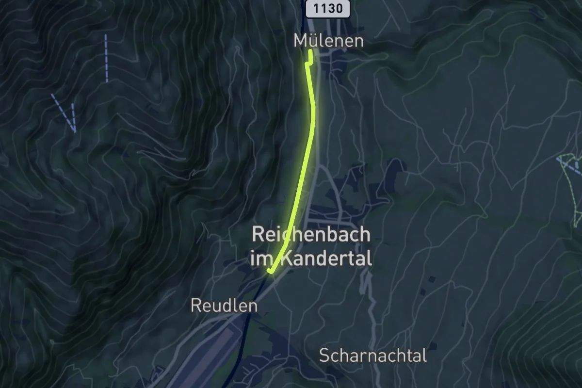
Easy · Trail
Mülenen – Reudlenbrücke
4.1 km · ↑ 33 m · 1 h 3 min · 8 km away
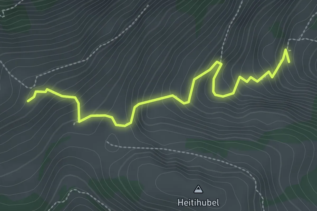
Easy · Trail
Lengeberg – Matten
2.9 km · ↑ 277 m · 1 h 17 min · 8 km away
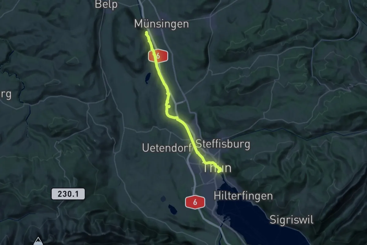
Medium · Trail
ViaBerna Etappe 10
16.6 km · ↑ 173 m · 4 h 33 min · 8 km away
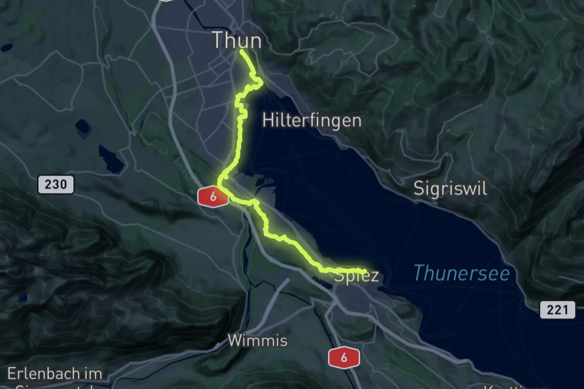
Demanding · Summit
ViaBerna Etappe 11
25.7 km · ↑ 339 m · 6 h 49 min · 8 km away
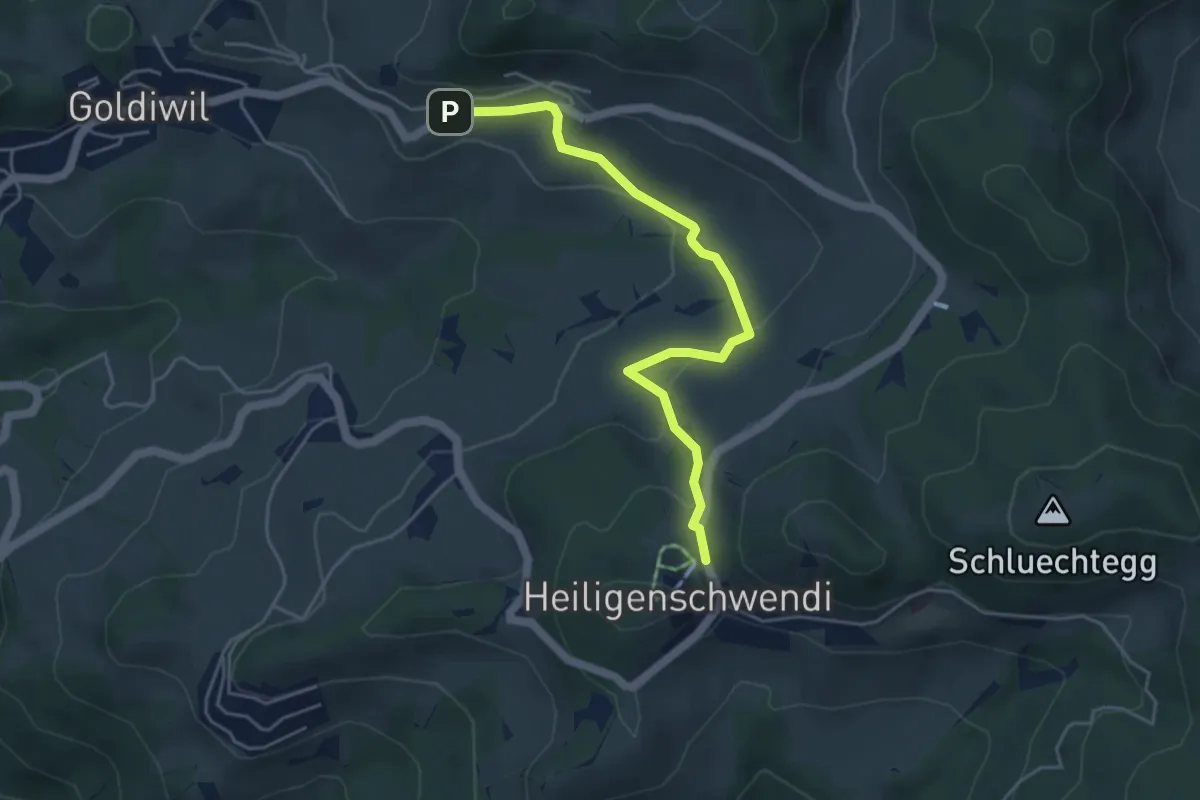
Easy · Trail
Hubelweid – Goldiwil / Wendeplatz
4.6 km · ↑ 226 m · 1 h 35 min · 8 km away
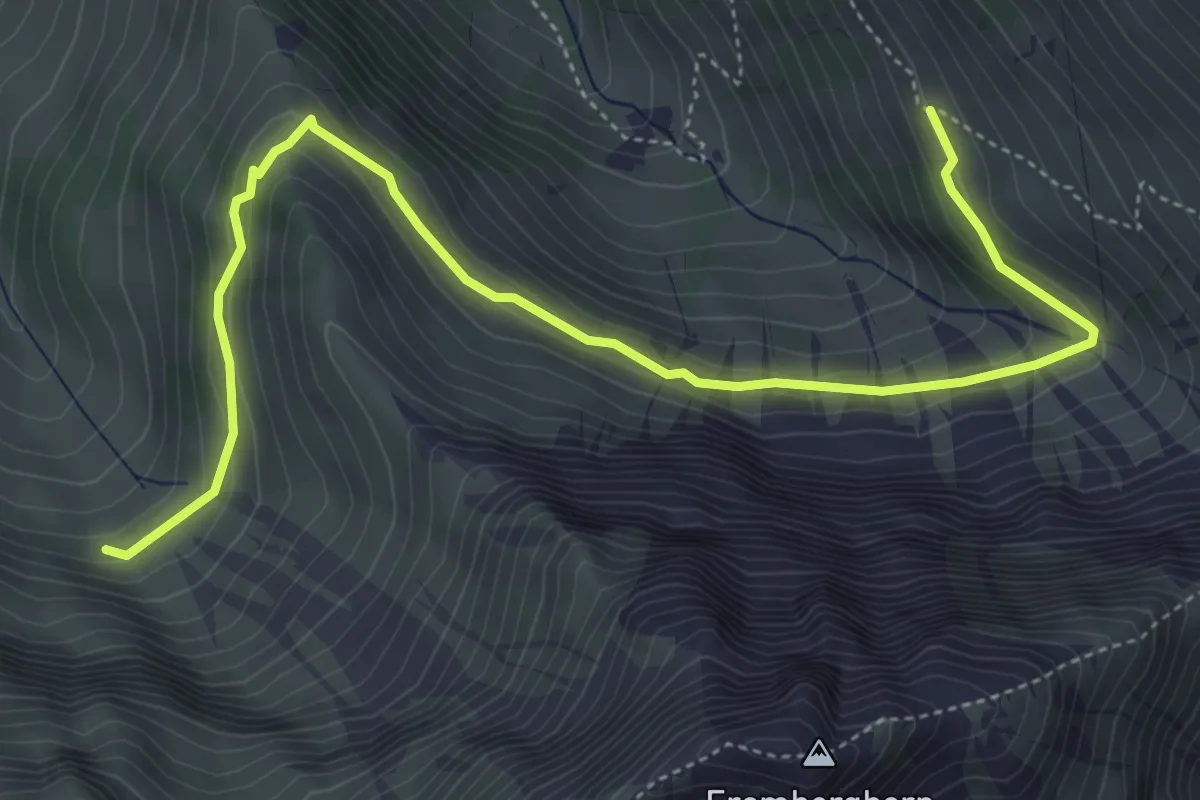
Medium · Trail
Geeri – Obere Stalde
5.9 km · ↑ 341 m · 2 h 8 min · 8 km away
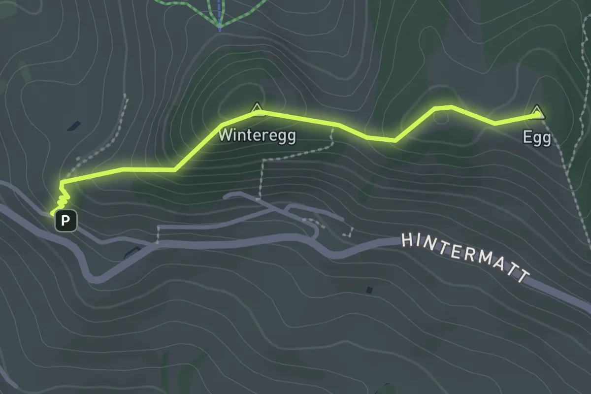
Easy · Summit
Egg – Flühli
2.5 km · ↑ 170 m · 58 min · 8 km away
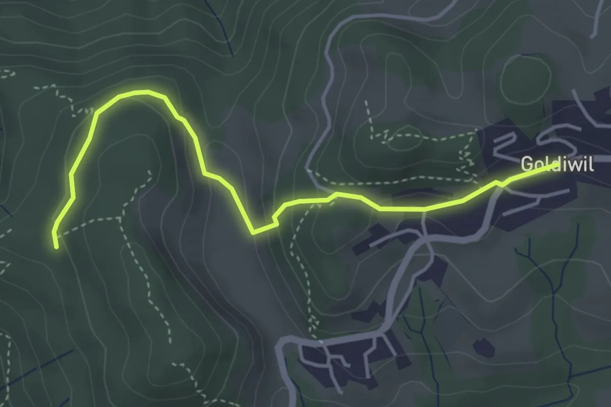
Easy · Trail
Blockhaus – Goldiwil / Post
4.0 km · ↑ 175 m · 1 h 19 min · 8 km away
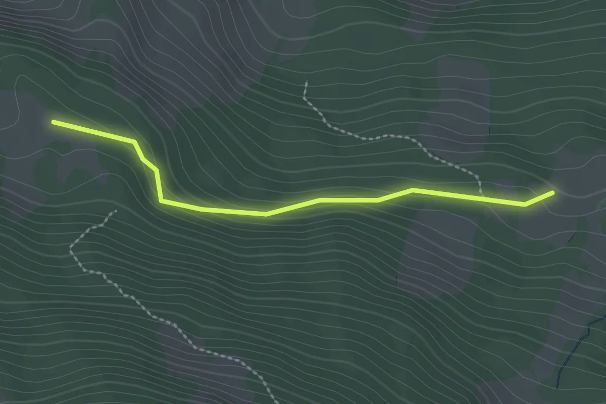
Easy · Cabin
Schüpfweid – Ufem Viertel
2.3 km · ↑ 102 m · 46 min · 8 km away
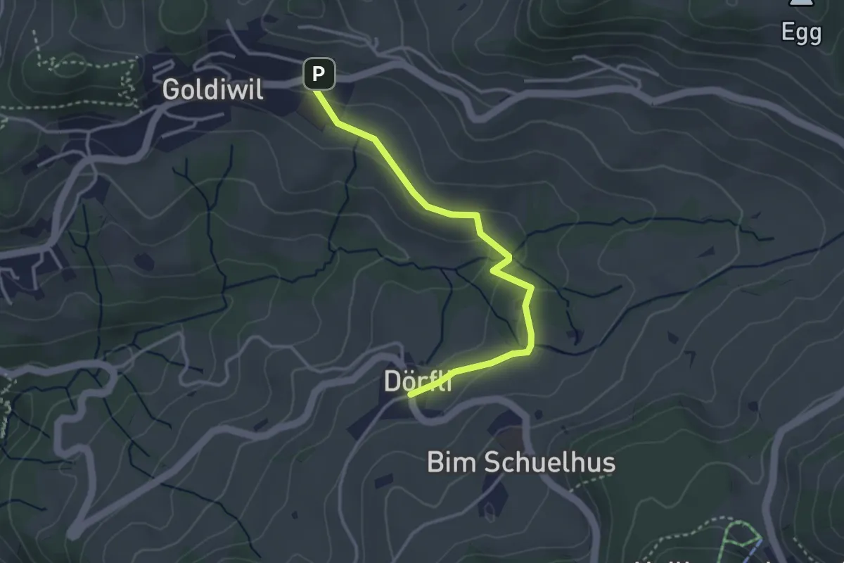
Easy · Trail
Hl. Schwendi Dörfli – Goldiwil
3.2 km · ↑ 90 m · 58 min · 8 km away
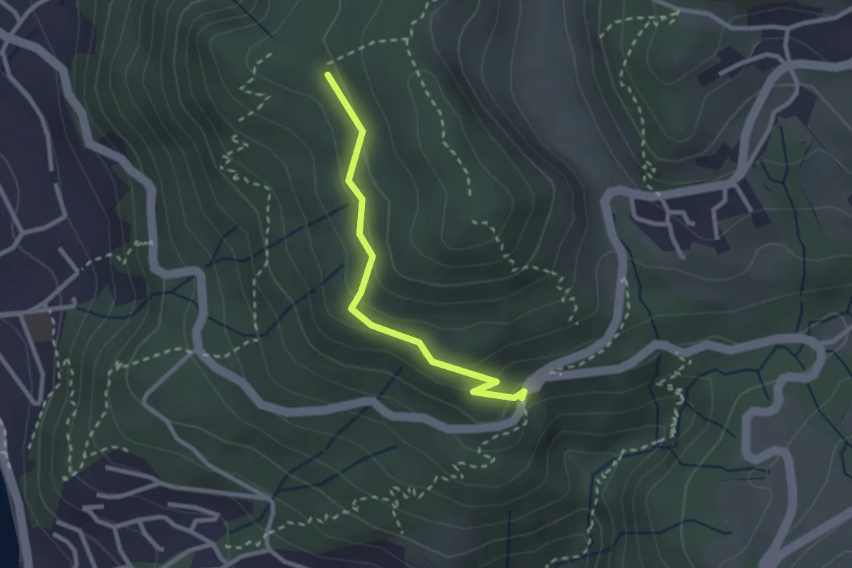
Easy · Trail
Scheidweg – Blockhaus
2.3 km · ↑ 95 m · 44 min · 8 km away
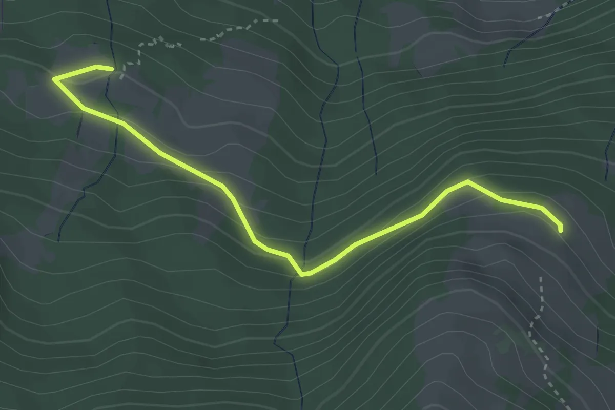
Easy · Trail
Unteres Horn – Schüpfweid
3.4 km · ↑ 193 m · 1 h 14 min · 8 km away
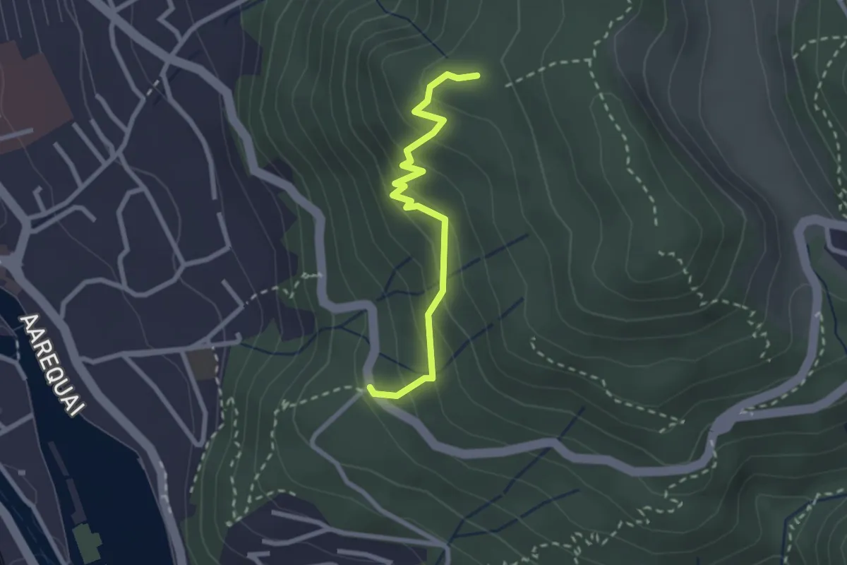
Easy · Trail
Rabenflue – Wartboden
2.3 km · ↑ 233 m · 1 h 4 min · 8 km away
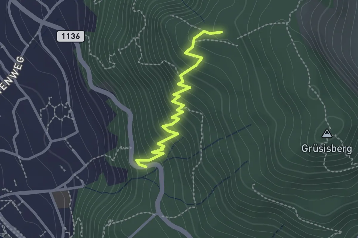
Easy · Trail
Rabenflue – Vogelsang
2.3 km · ↑ 295 m · 1 h 11 min · 8 km away
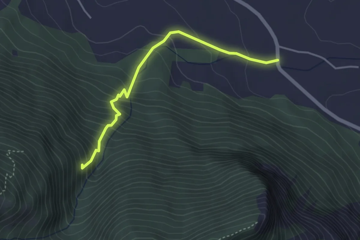
Medium · Trail
Niederstocken – Schwand
3.4 km · ↑ 382 m · 1 h 38 min · 8 km away
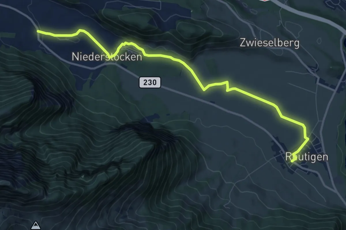
Medium · Trail
Reutigen – Niederstocken
10.9 km · ↑ 73 m · 2 h 43 min · 8 km away
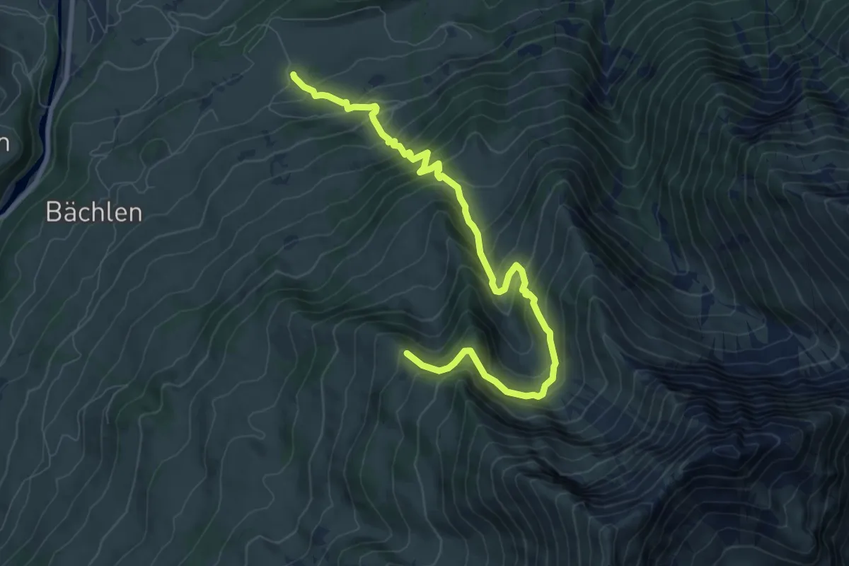
Demanding · Trail
Zäunegg – Hoschüpfe
9.1 km · ↑ 1002 m · 4 h 20 min · 8 km away
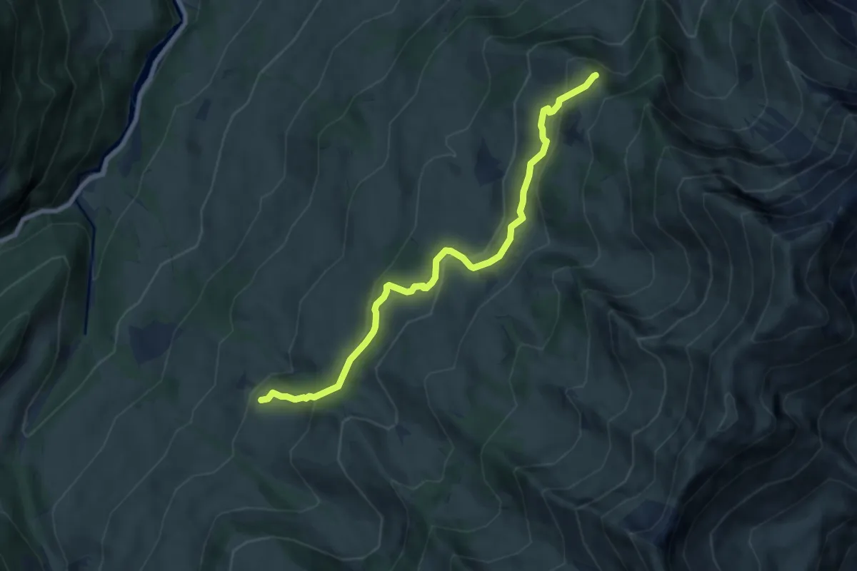
Medium · Trail
Springboden – Hoschüpfe
7.4 km · ↑ 432 m · 2 h 42 min · 8 km away
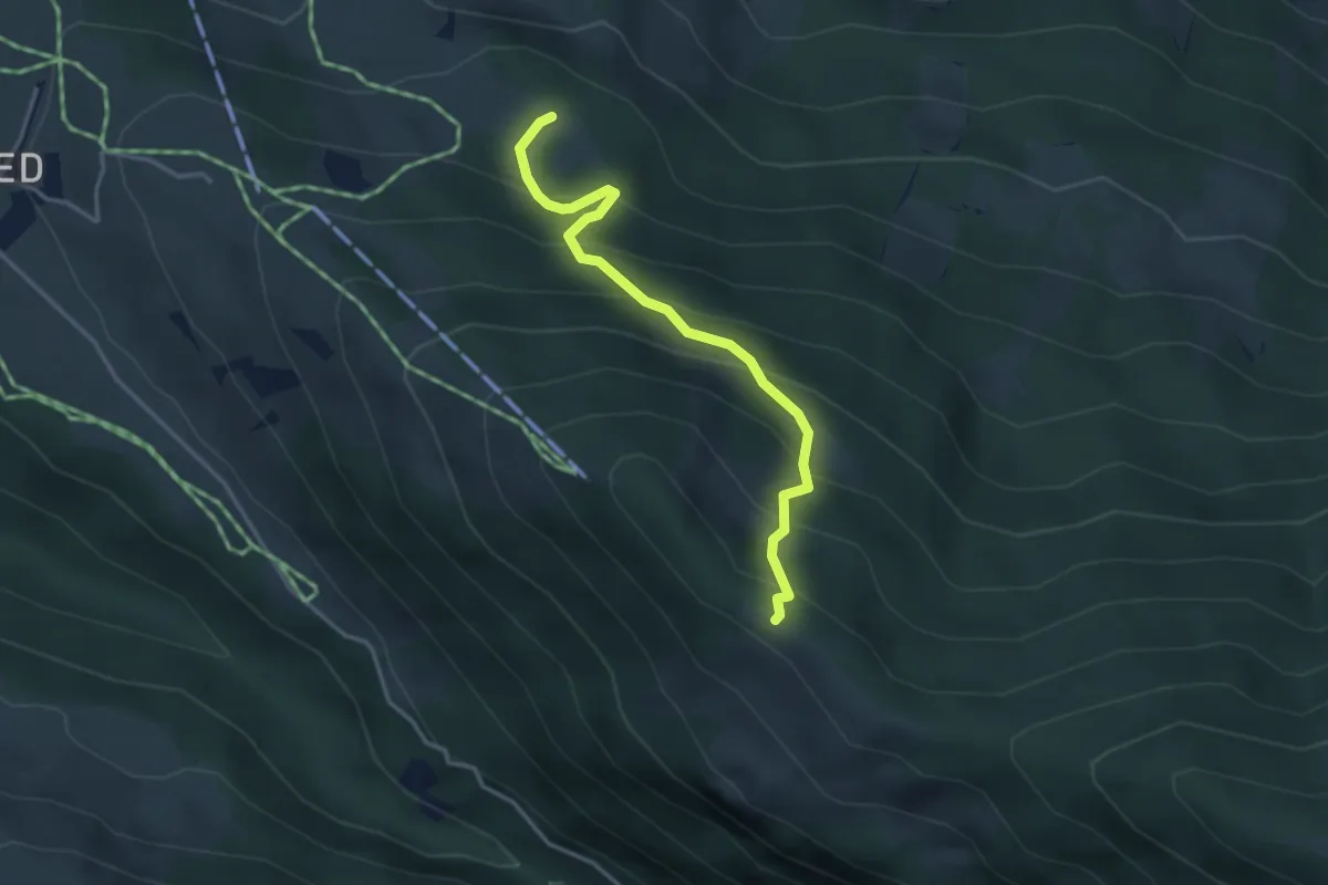
Medium · Cabin
Ufem Viertel – Bireberg
3.5 km · ↑ 361 m · 1 h 36 min · 8 km away
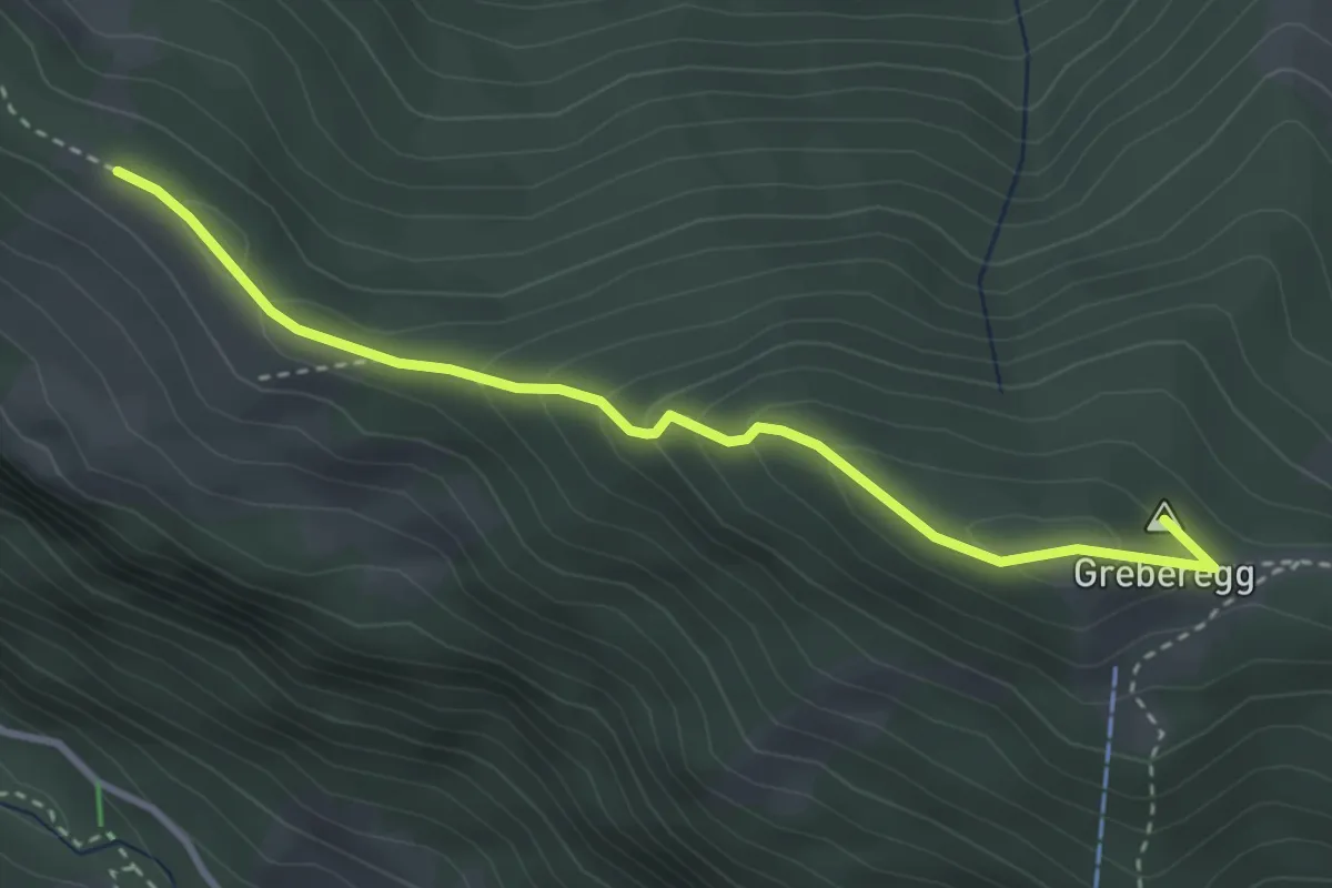
Medium · Summit
Bireberg – Greberegg
3.4 km · ↑ 193 m · 1 h 13 min · 8 km away
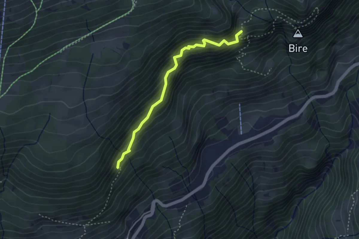
Medium · Trail
Fitzligraben – Bireflue
3.2 km · ↑ 525 m · 1 h 54 min · 8 km away
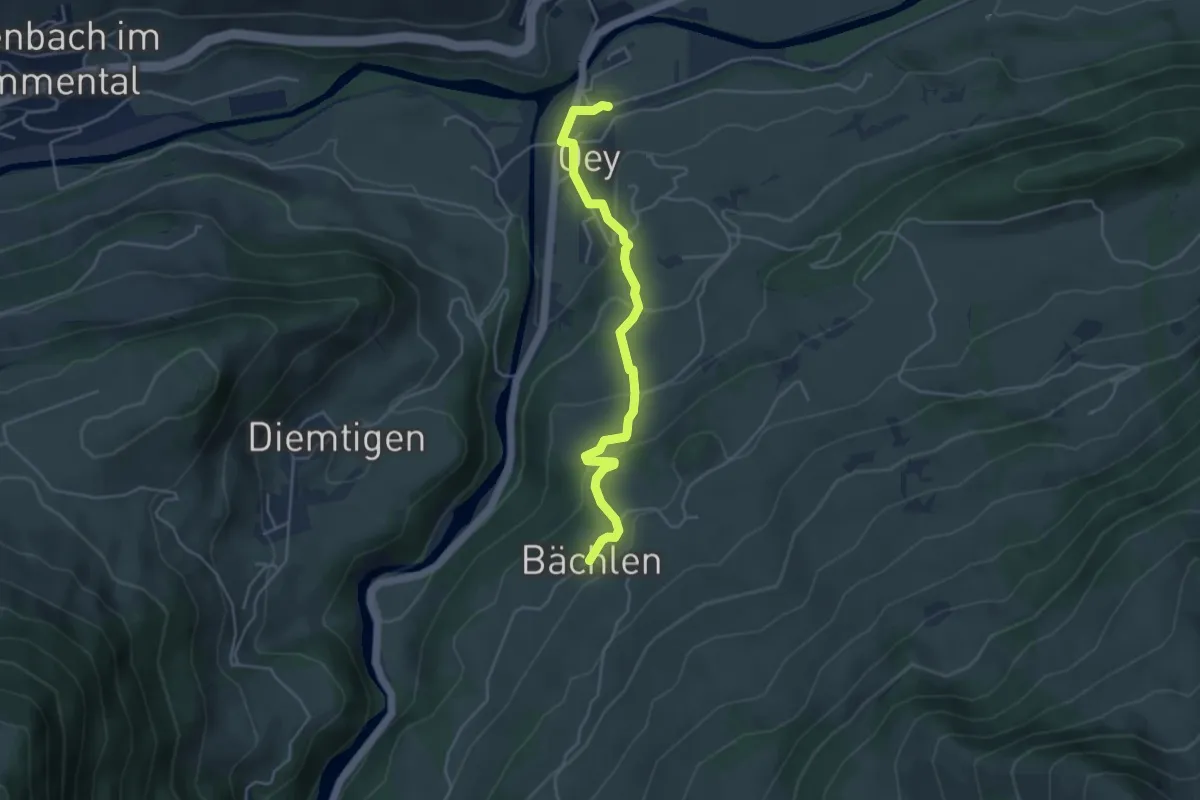
Easy · Trail
Bächlen – Oey Station
4.4 km · ↑ 215 m · 1 h 30 min · 8 km away
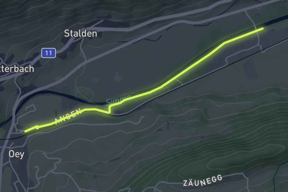
Easy · Trail
Oey – Burgholz
4.2 km · ↑ 31 m · 1 h 4 min · 8 km away
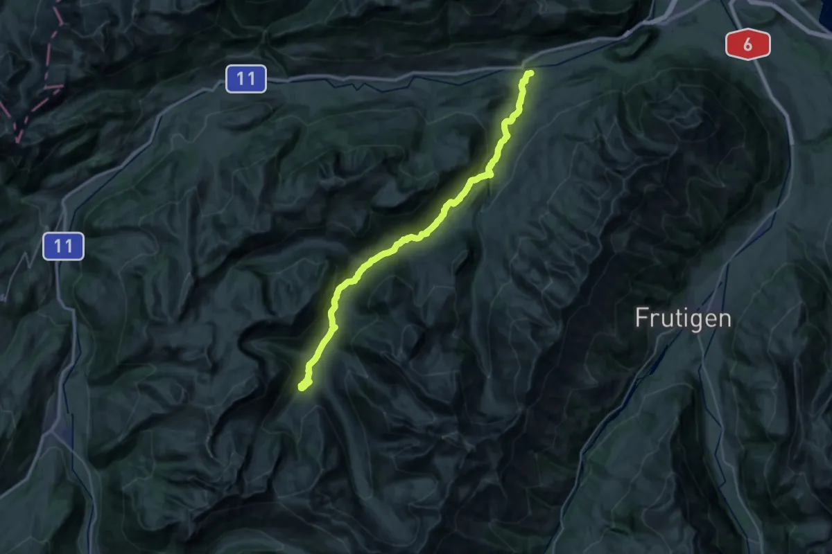
Medium · Trail
Diemtigtaler Talwanderweg
15.5 km · ↑ 752 m · 5 h 13 min · 8 km away
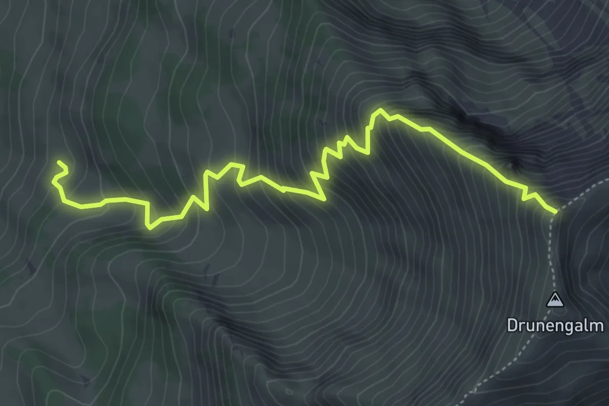
Demanding · Trail
Undere Drune – Drunegalm
5.7 km · ↑ 823 m · 3 h 8 min · 8 km away
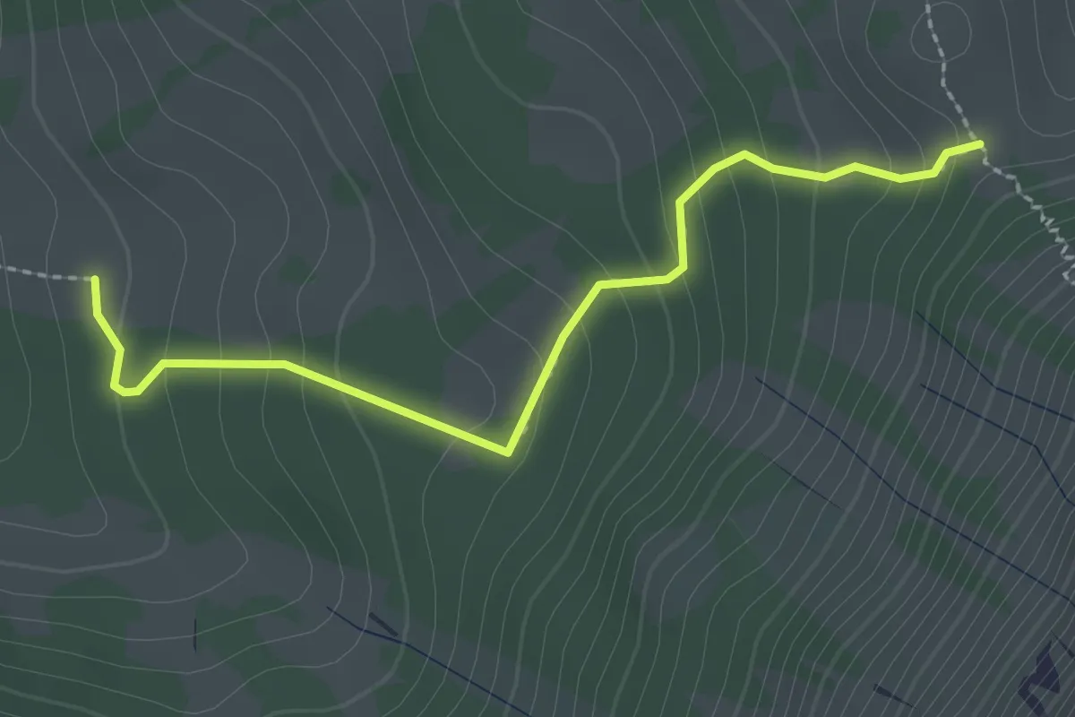
Easy · Trail
Oberi Matte – Zettenalp (Bim Ofe)
2.4 km · ↑ 183 m · 58 min · 8 km away
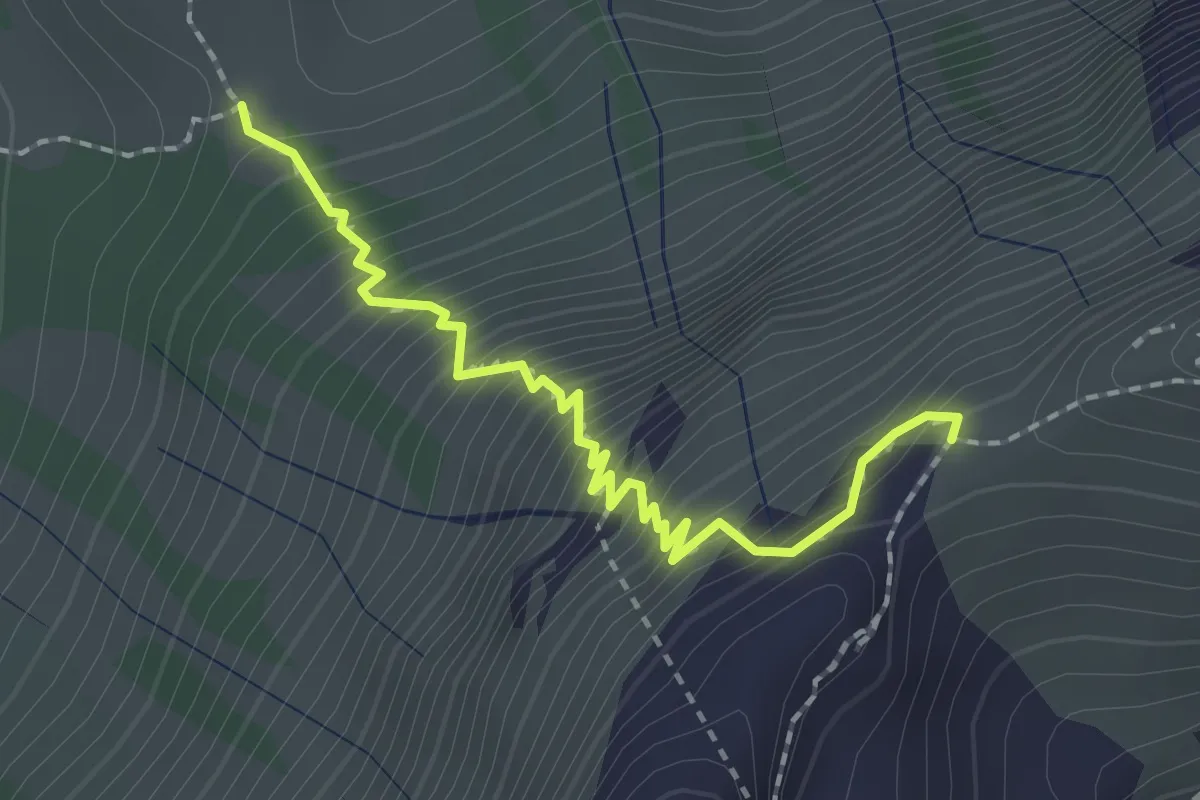
Medium · Trail
Stäpfli/Schafläger – Zettenalp (Bim Ofe)
2.0 km · ↑ 331 m · 1 h 12 min · 8 km away
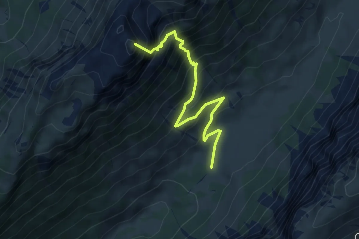
Demanding · Summit
Püfel – Schafloch
5.3 km · ↑ 679 m · 2 h 44 min · 8 km away
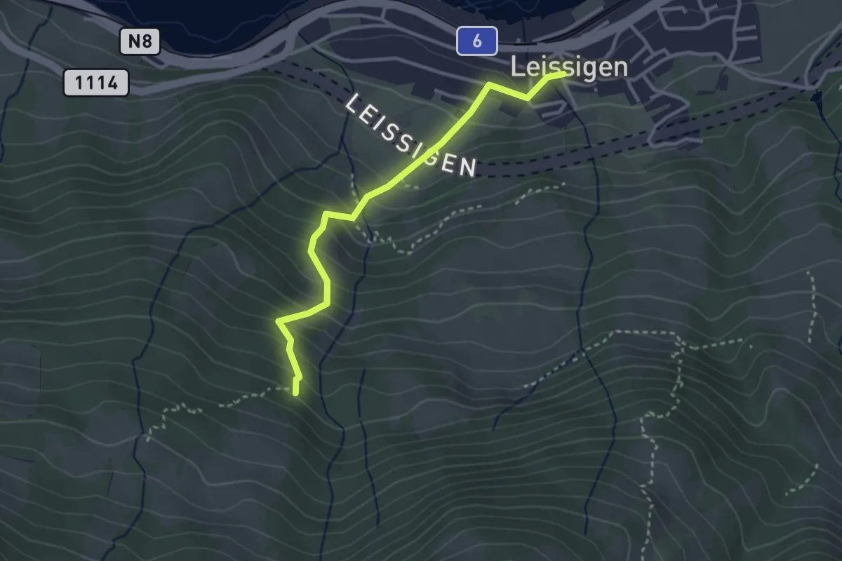
Easy · Trail
Rügger – Leissigen
3.0 km · ↑ 313 m · 1 h 23 min · 8 km away
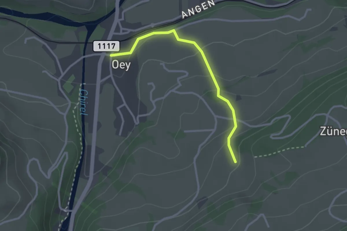
Easy · Trail
Oey – Selbezen
2.4 km · ↑ 121 m · 50 min · 8 km away
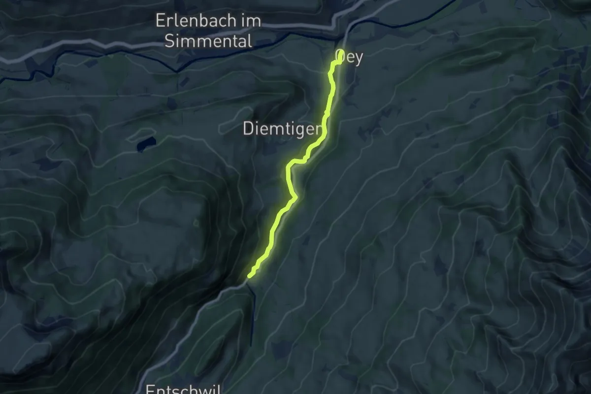
Easy · Trail
Oey – Horboden
7.4 km · ↑ 280 m · 2 h 21 min · 9 km away
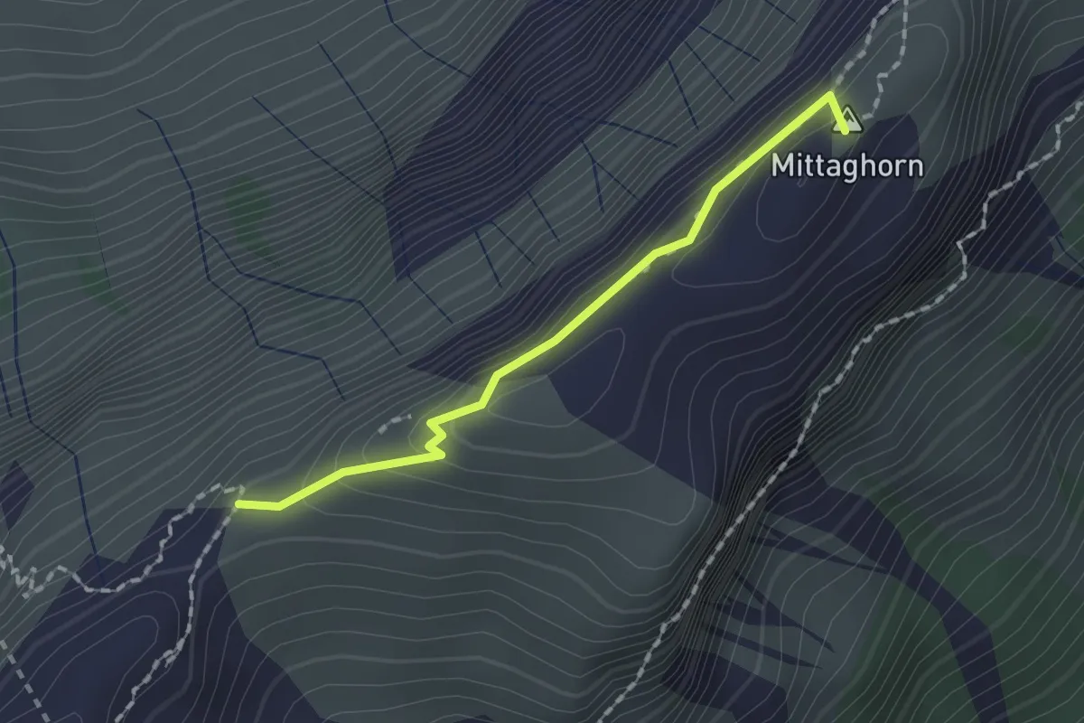
Demanding · Summit
Schneide – Stäpfli/Schafläger
1.5 km · ↑ 62 m · 29 min · 9 km away
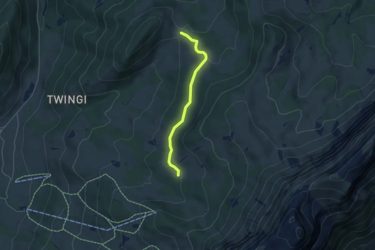
Easy · Trail
Oberi Matte – Dünzenegg
3.6 km · ↑ 109 m · 1 h 6 min · 9 km away
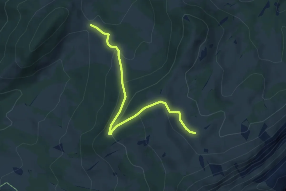
Easy · Trail
Dünzenegg – Obere Zettenalp
4.6 km · ↑ 205 m · 1 h 32 min · 9 km away
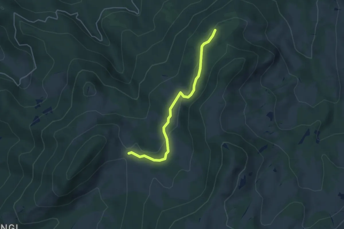
Easy · Trail
Schnabel – Dünzenegg
3.6 km · ↑ 93 m · 1 h 4 min · 9 km away
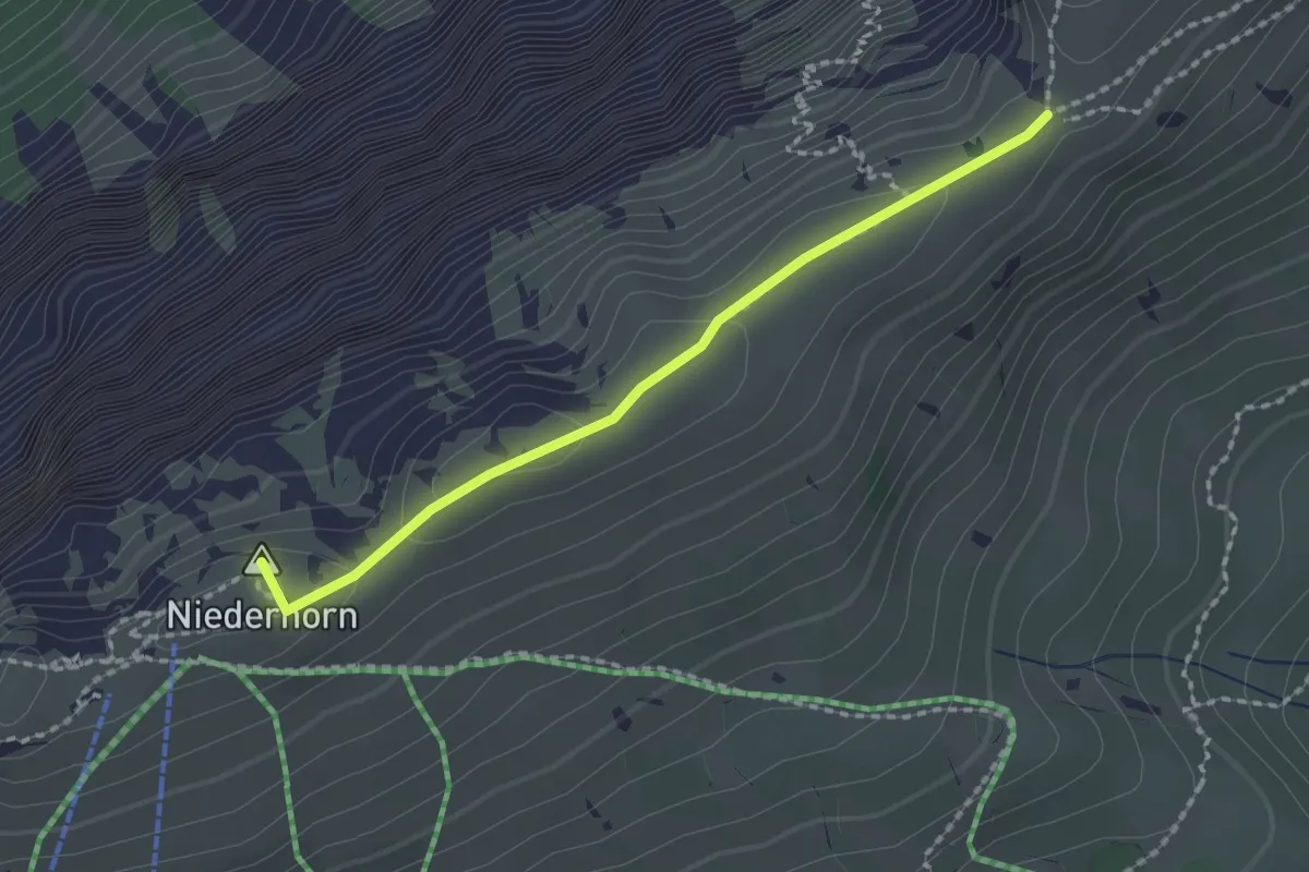
Medium · Summit
Niederhorn – Hohseil
1.9 km · ↑ 32 m · 31 min · 9 km away
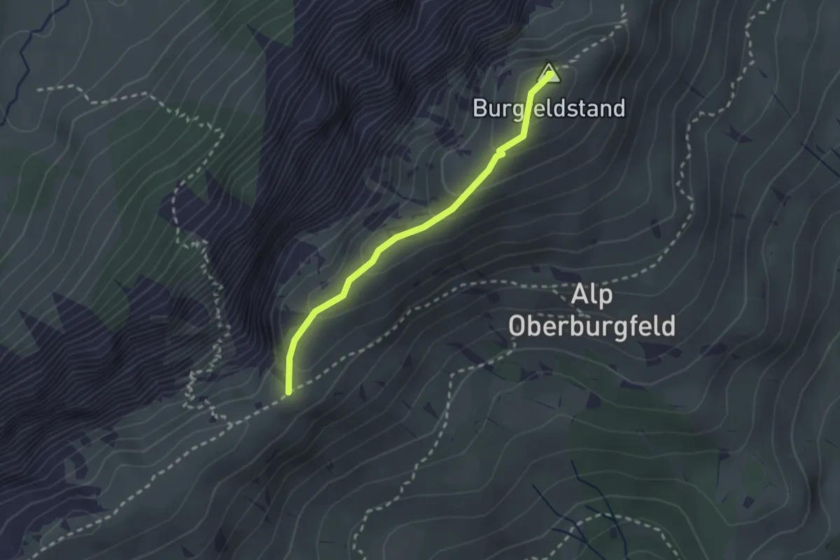
Medium · Summit
Hohseil – Burgfeldstand
2.2 km · ↑ 128 m · 47 min · 9 km away
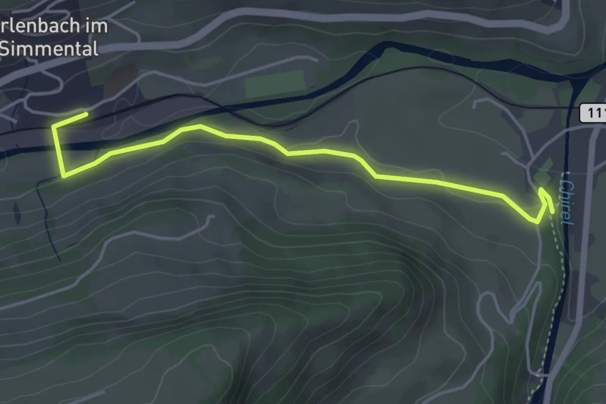
Easy · Trail
Erlenbach – Oey Diemtigen
4.3 km · ↑ 51 m · 1 h 7 min · 9 km away
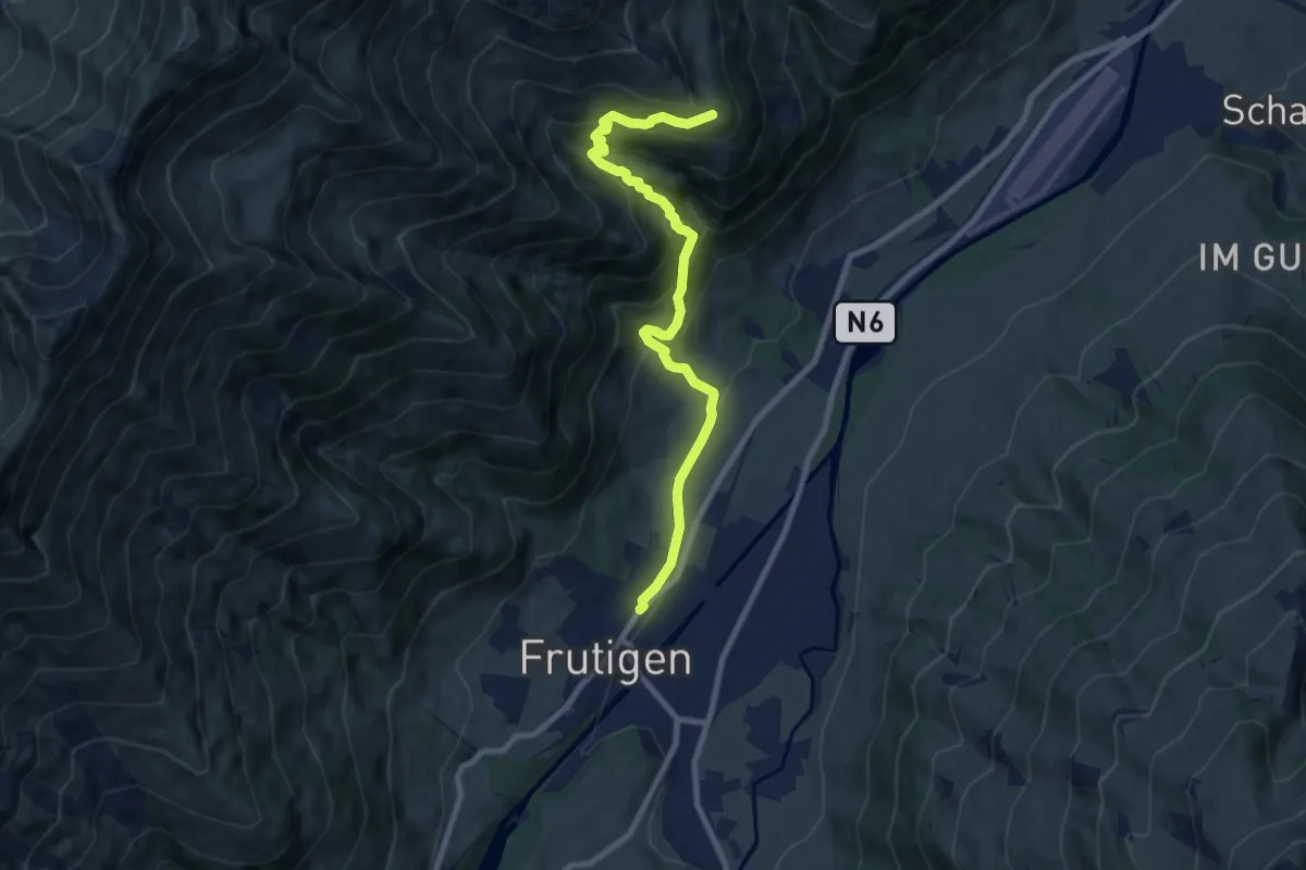
Medium · Trail
Frutigen – Eggweid
8.9 km · ↑ 626 m · 3 h 27 min · 9 km away
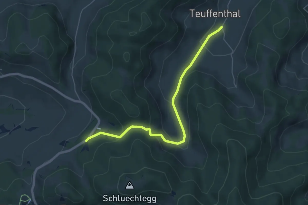
Easy · Trail
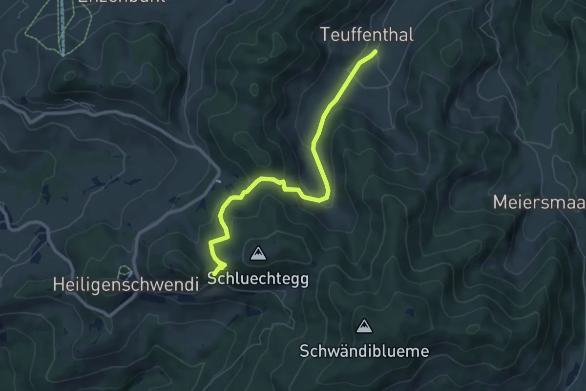
Hüniboden – Teuffenthal
5.2 km · ↑ 251 m · 1 h 46 min · 9 km away
Medium · Trail
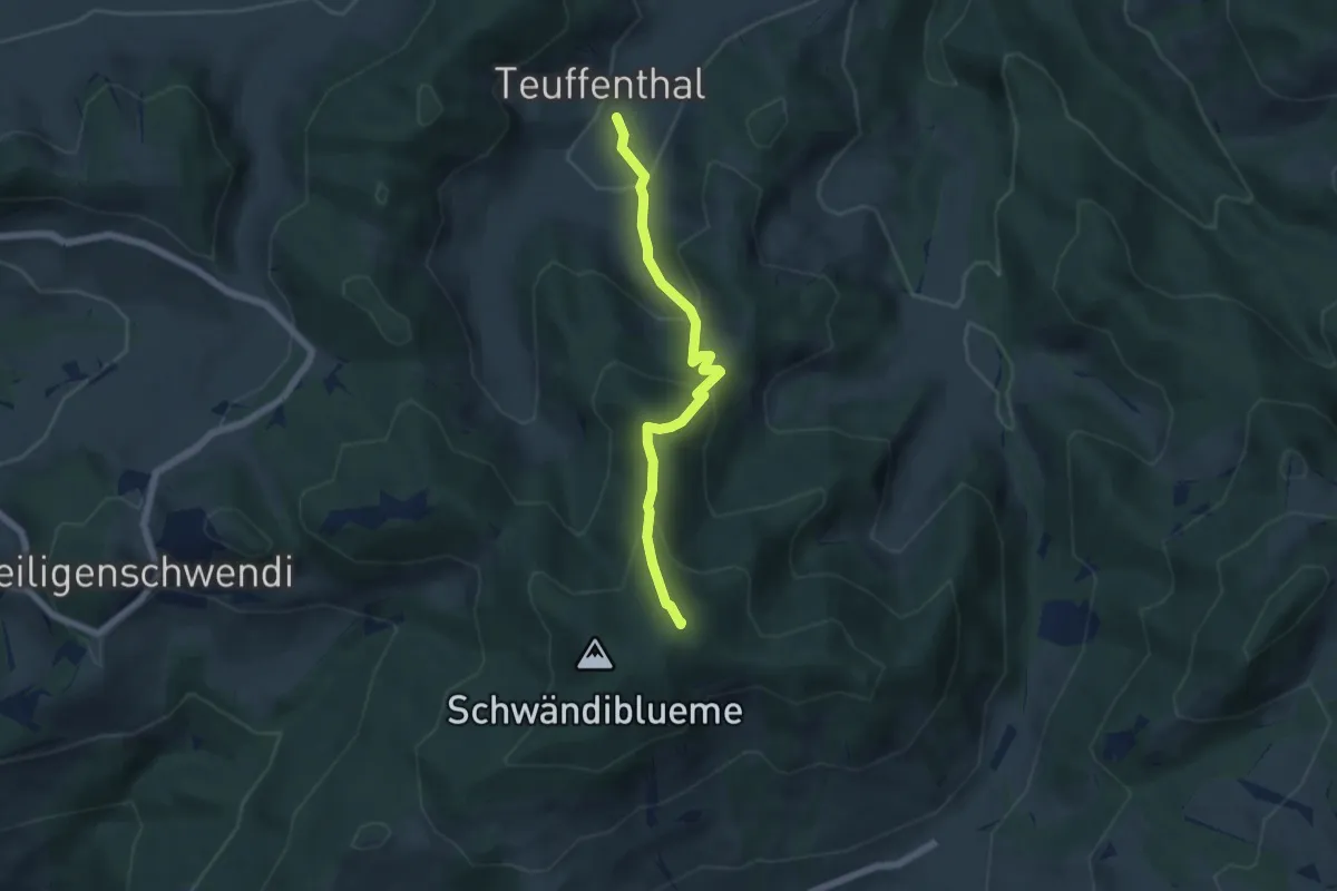
Gründungsahorn – Teuffenthal
6.5 km · ↑ 366 m · 2 h 20 min · 9 km away
Medium · Summit
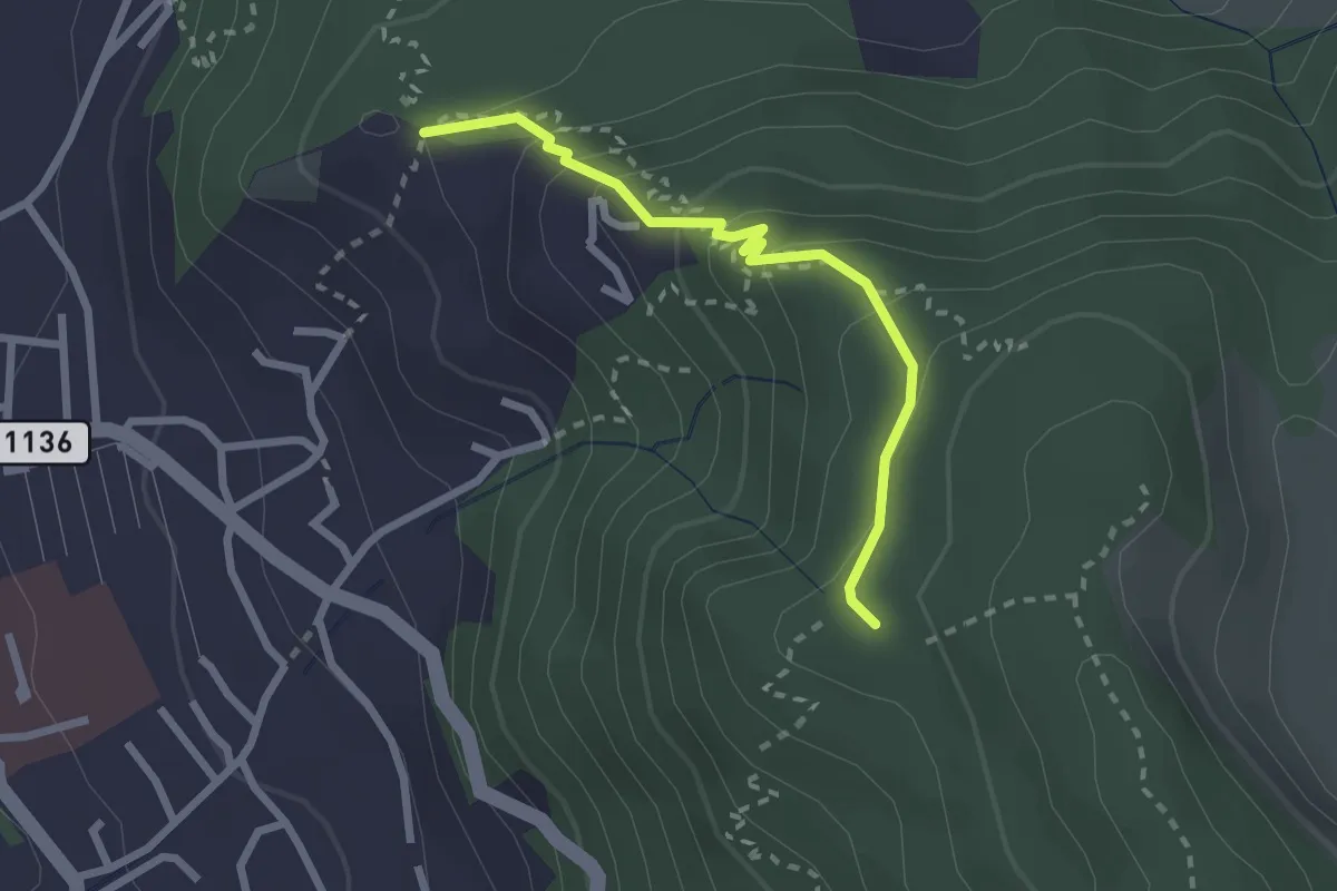
Blueme – Teuffenthal
5.5 km · ↑ 419 m · 2 h 12 min · 9 km away
Easy · Trail
Brändisberg – Rabenflue
2.3 km · ↑ 169 m · 55 min · 9 km away
Easy · Trail
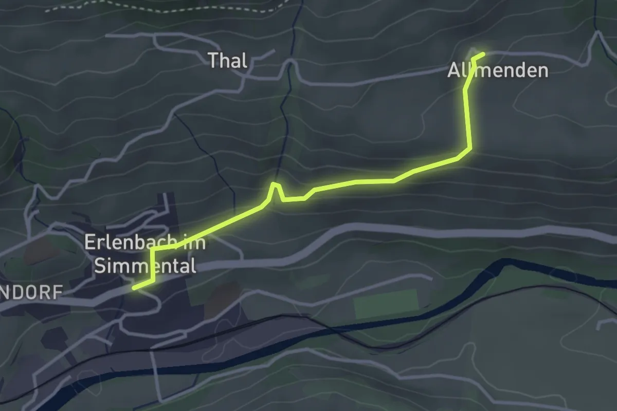
Allmenden – Erlenbach
3.2 km · ↑ 165 m · 1 h 6 min · 9 km away
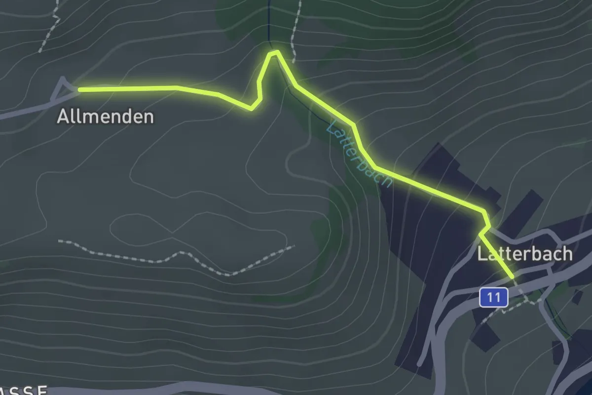
Easy · Trail
Latterbach – Allmenden
2.2 km · ↑ 162 m · 52 min · 9 km away
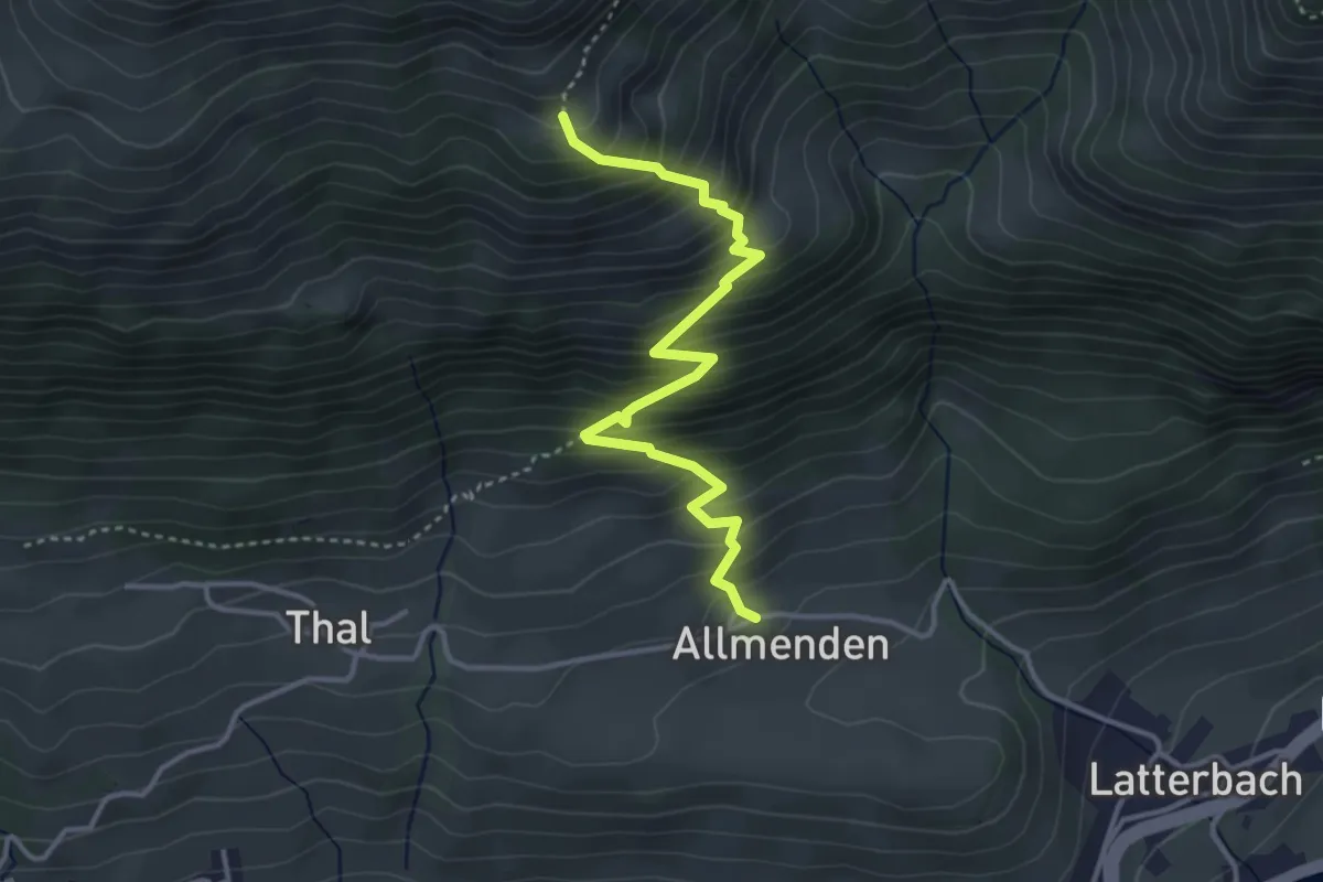
Medium · Trail
Allmenden – Müllersbode
3.8 km · ↑ 511 m · 2 h · 9 km away
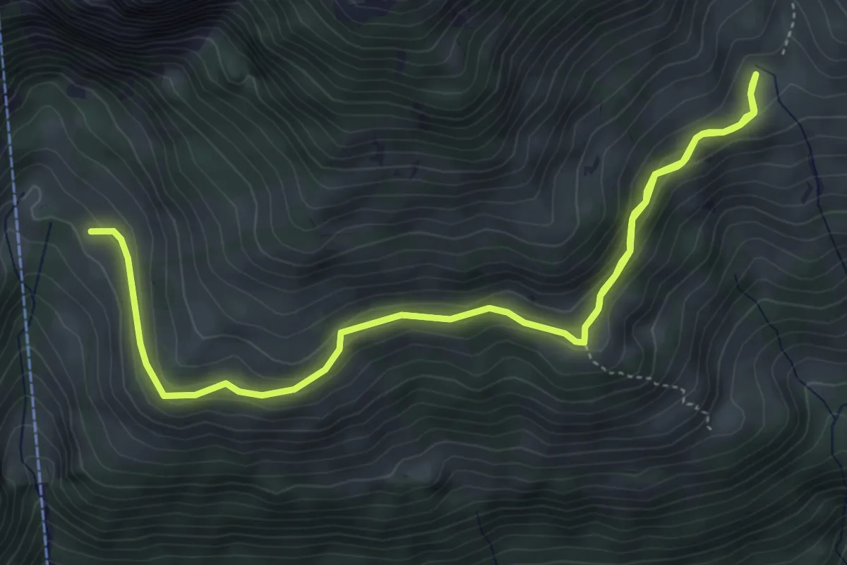
Medium · Trail
Oberchlusi – Spitelnacki
7.1 km · ↑ 368 m · 2 h 28 min · 9 km away
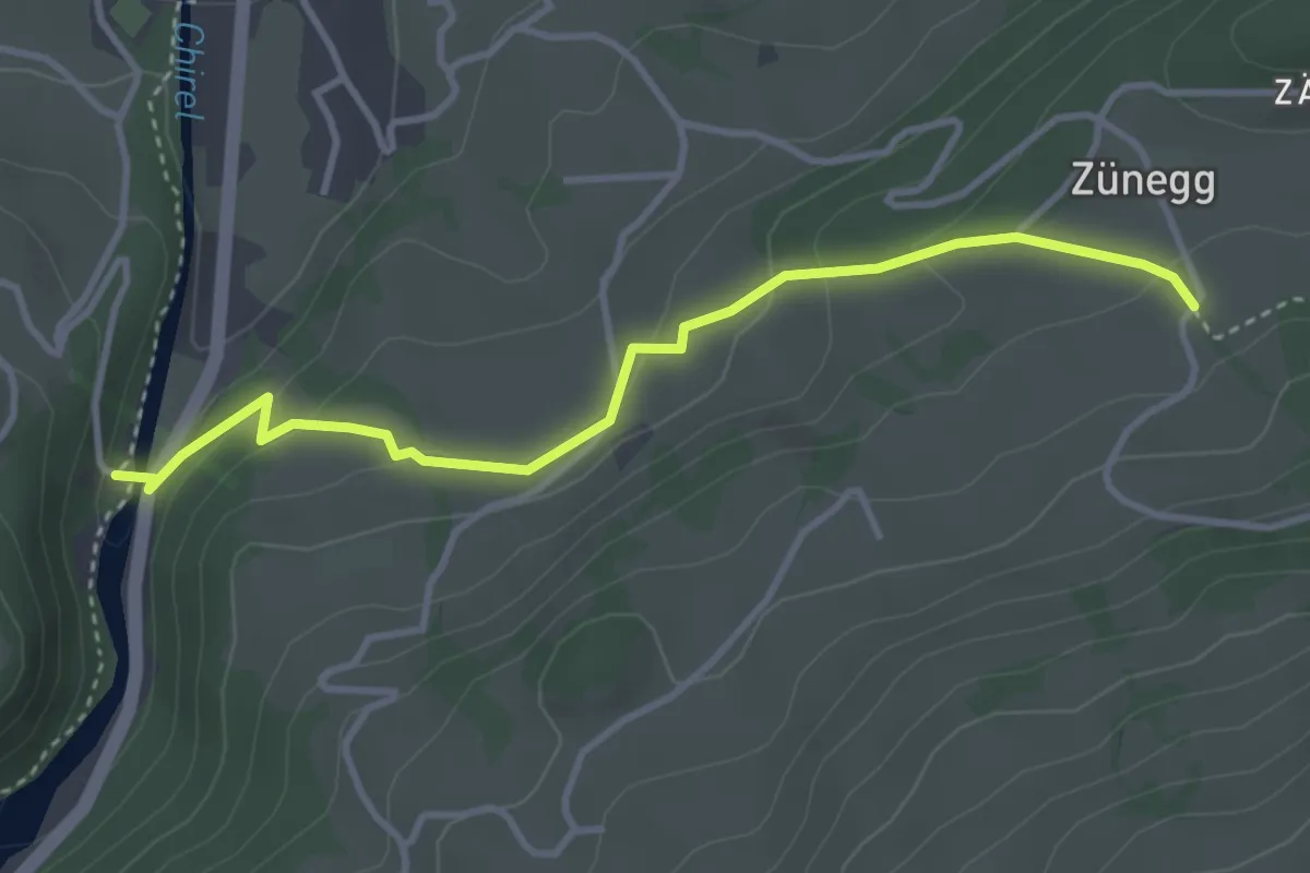
Easy · Trail
Katzenlochbrücke – Zäunegg
3.7 km · ↑ 155 m · 1 h 12 min · 9 km away