Trails near Spiez
411 hikes starting within 15 km, nearest first.
Nearest first, page 6 of 9
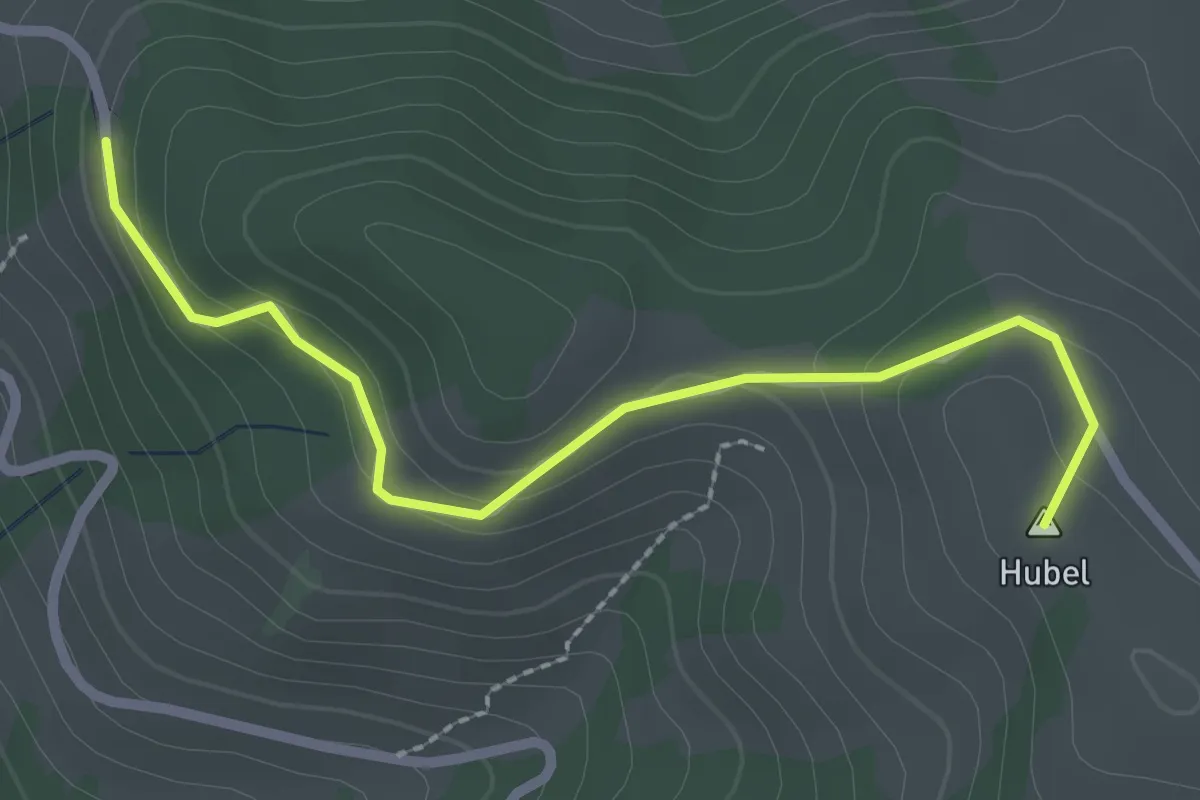
Easy · Summit
Hubel – Reust
2.5 km · ↑ 109 m · 50 min · 10 km away
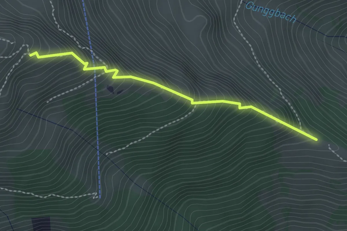
Medium · Trail
Tussweide - Gunggstand
2.3 km · ↑ 355 m · 1 h 19 min · 10 km away
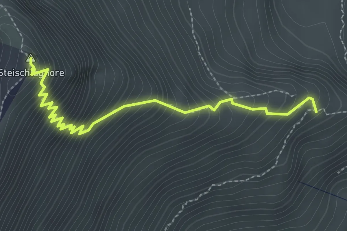
Demanding · Summit
Gunggstand - Steinschlaghore
2.7 km · ↑ 384 m · 1 h 28 min · 10 km away
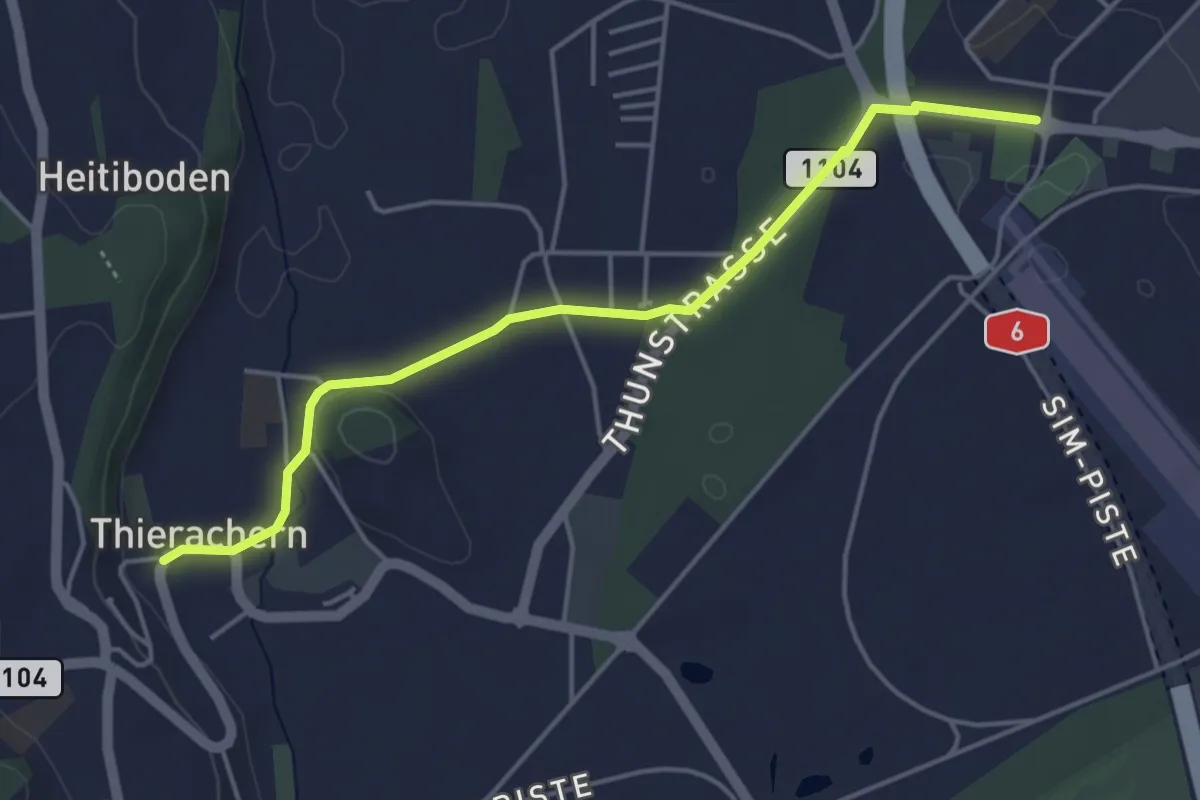
Easy · Trail
Thierachern Kirche – Thun Waldeck
4.5 km · ↑ 37 m · 1 h 9 min · 10 km away
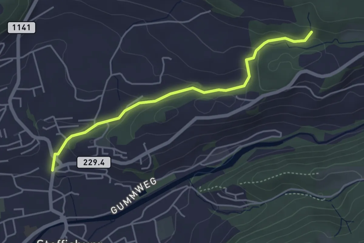
Easy · Trail
Steffisburg – Birchigraben
4.0 km · ↑ 125 m · 1 h 13 min · 10 km away
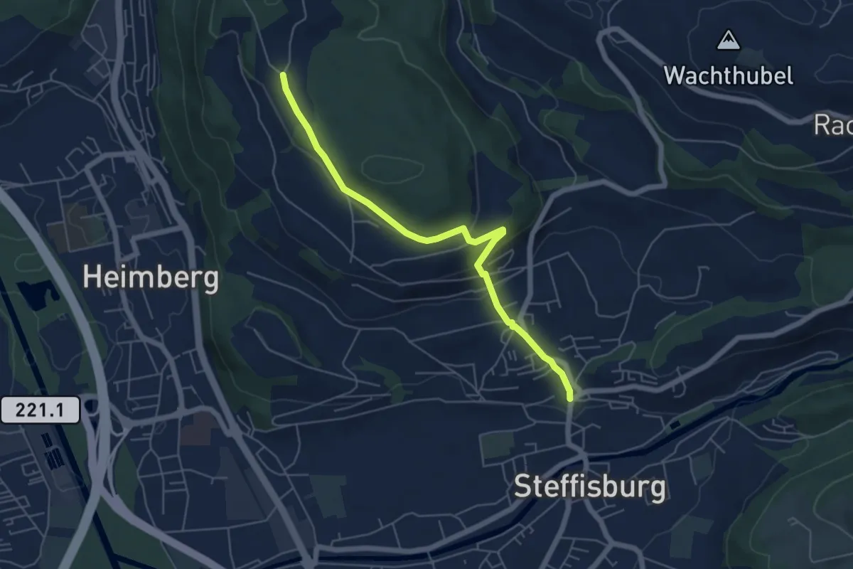
Easy · Trail
Oberi Riedere – Steffisburg
5.5 km · ↑ 193 m · 1 h 42 min · 10 km away
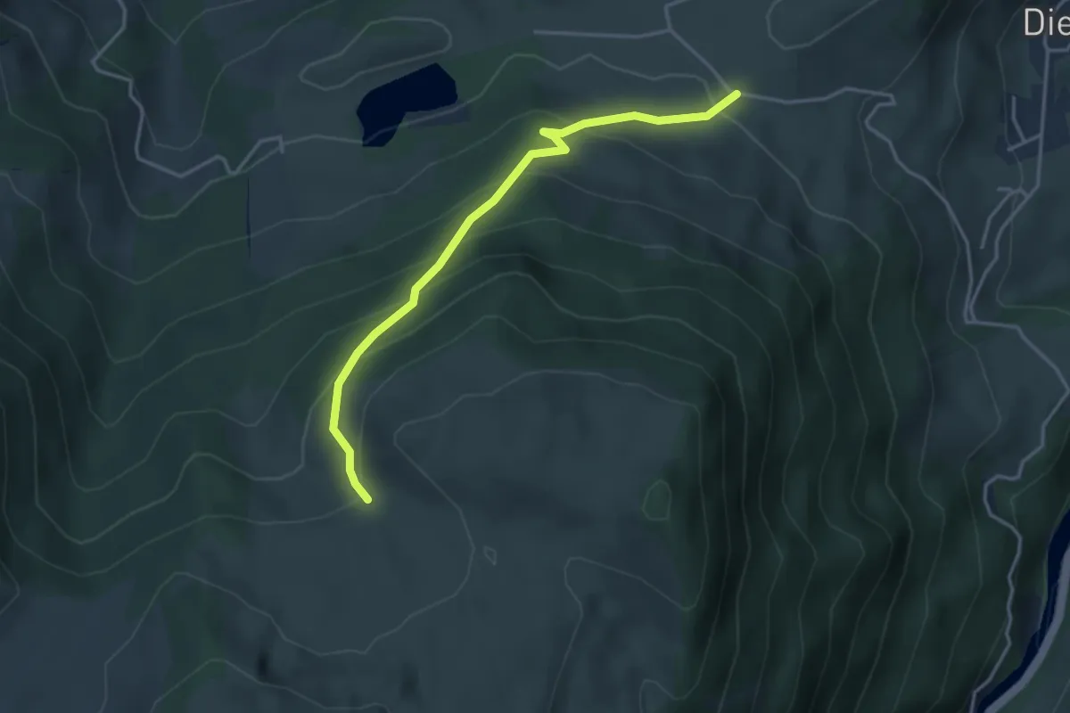
Easy · Trail
Bergli – Tschugge
3.7 km · ↑ 308 m · 1 h 32 min · 11 km away
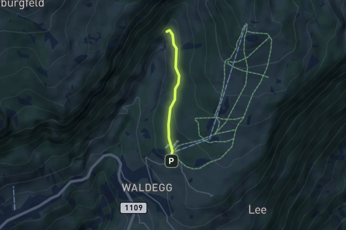
Easy · Trail
Beatenberg Station – Rischere
2.5 km · ↑ 113 m · 50 min · 11 km away
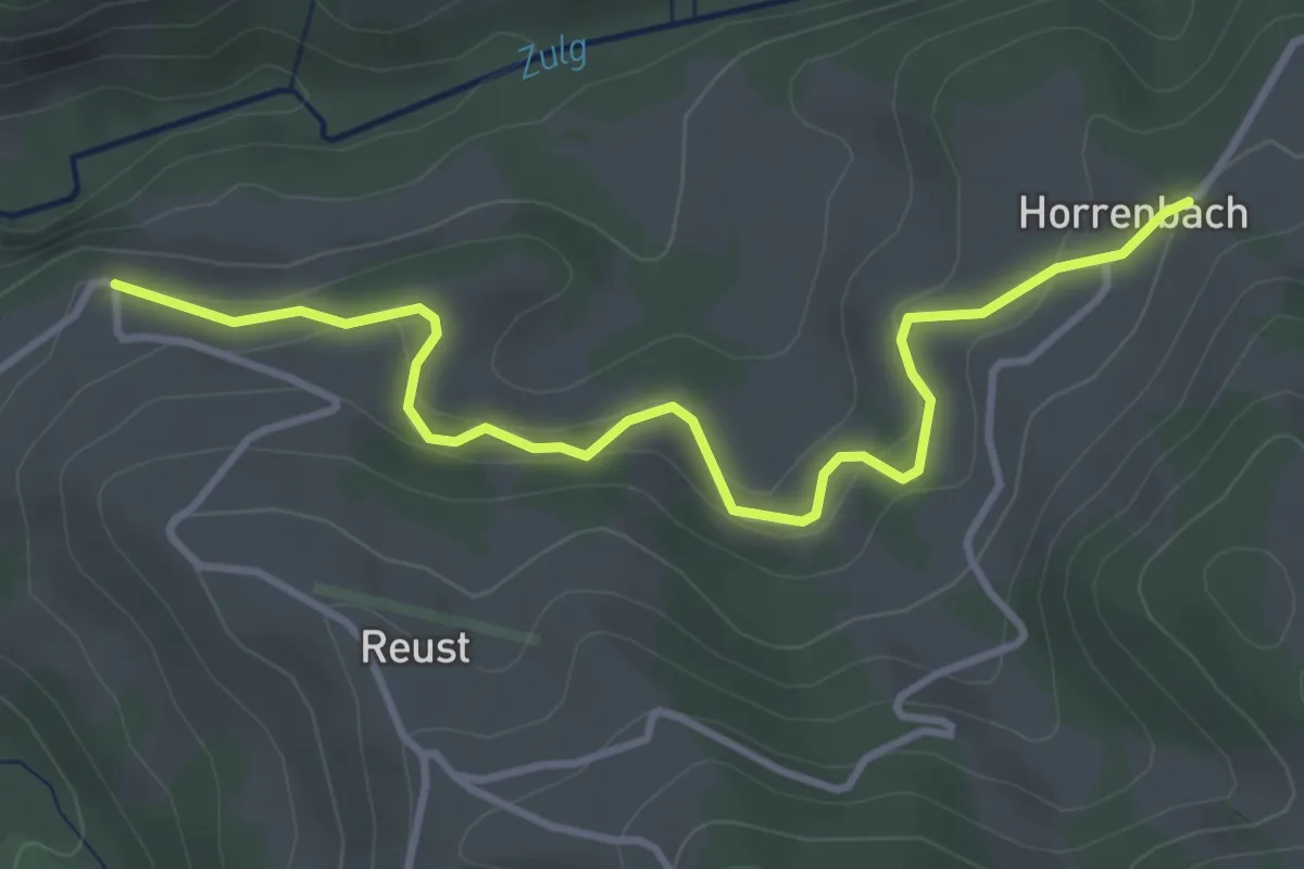
Easy · Trail
Cheistli – Horrenbach
3.9 km · ↑ 198 m · 1 h 22 min · 11 km away
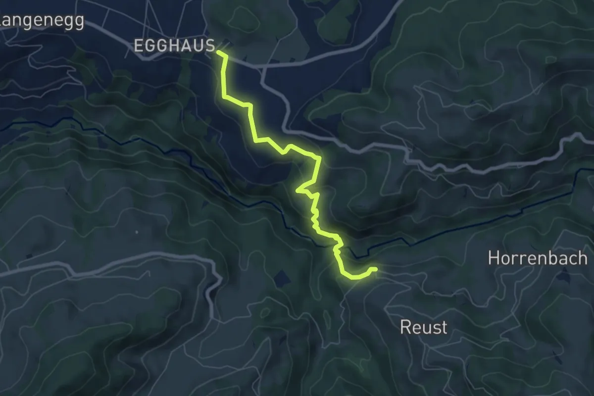
Medium · Trail
Schwarzenegg – Cheistli
6.4 km · ↑ 291 m · 2 h 9 min · 11 km away
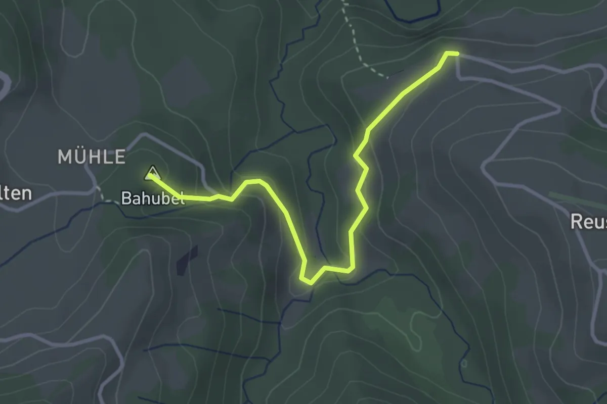
Easy · Summit
Cheistli – Teuffenthal
3.1 km · ↑ 164 m · 1 h 5 min · 11 km away
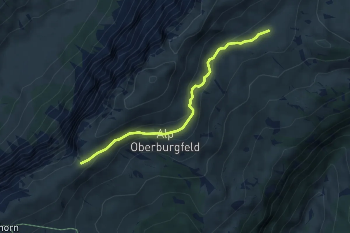
Medium · Trail
Hohseil – Oberberg
4.7 km · ↑ 186 m · 1 h 30 min · 11 km away
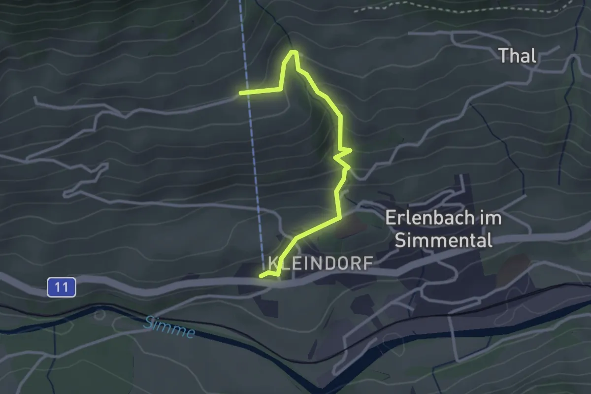
Easy · Trail
Stockhornbahn – Moos
2.7 km · ↑ 204 m · 1 h 5 min · 11 km away
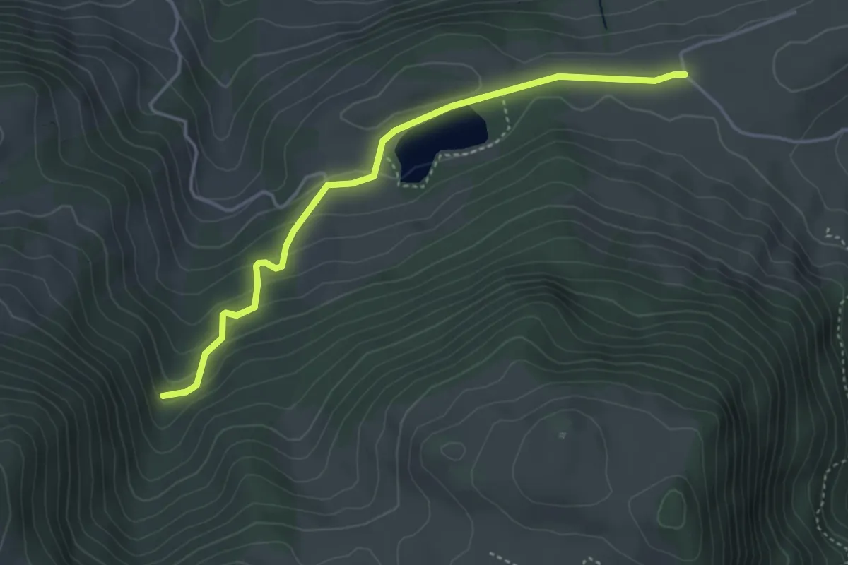
Easy · Trail
Oberhag – Bergli
4.1 km · ↑ 191 m · 1 h 22 min · 11 km away
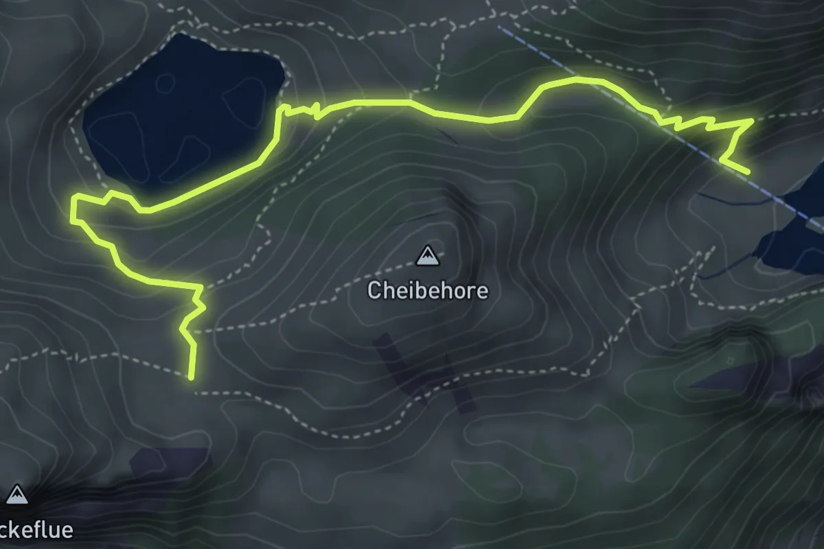
Medium · Trail
Hinterstockenalp – Vorderstockenalp
5.4 km · ↑ 310 m · 1 h 57 min · 11 km away
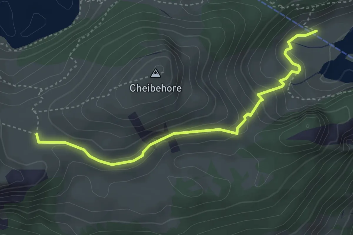
Medium · Trail
Vorderstockenalp – Hinterstockenalp
3.7 km · ↑ 214 m · 1 h 20 min · 11 km away
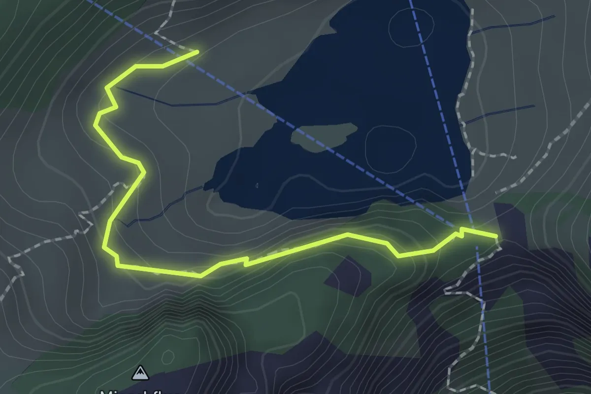
Easy · Trail
Hinterstockenalp – Chrindri
2.1 km · ↑ 148 m · 49 min · 11 km away
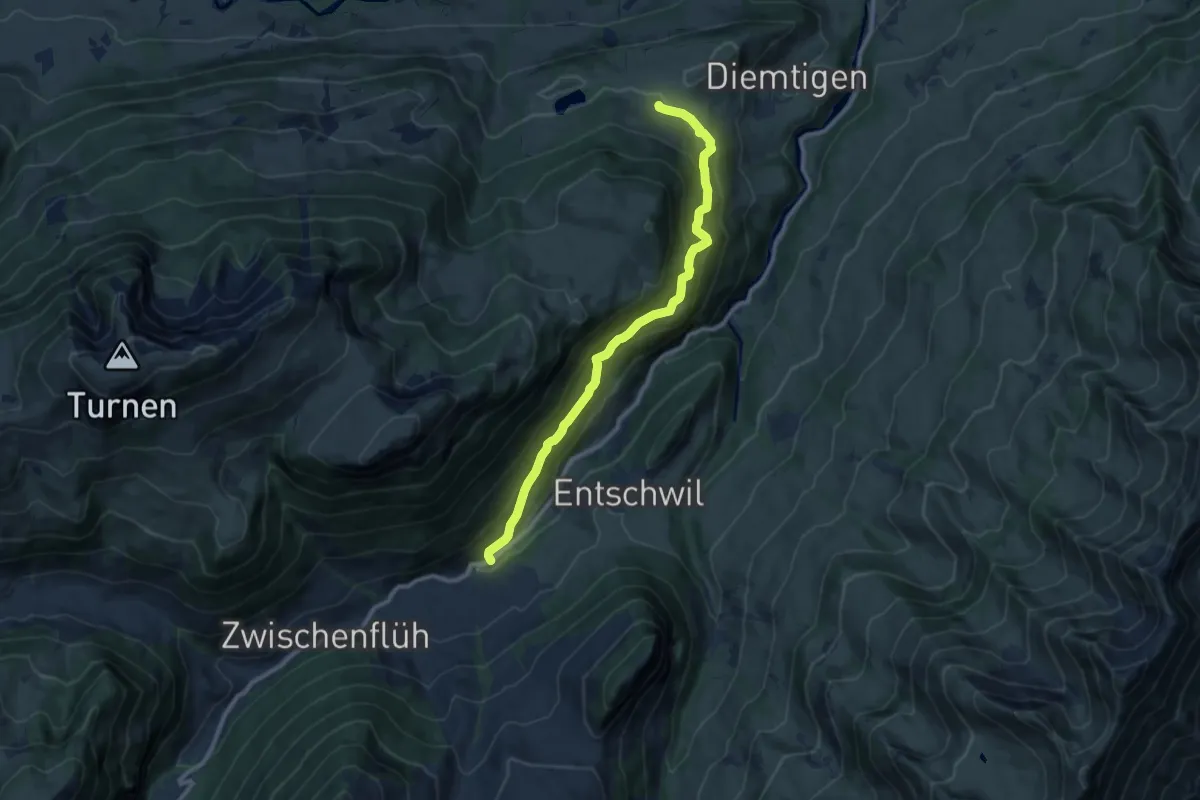
Medium · Trail
Diemtigen – Riedli
10.2 km · ↑ 600 m · 3 h 42 min · 11 km away
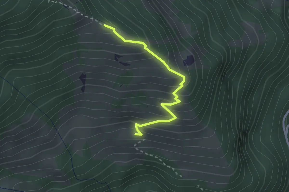
Medium · Trail
Ueblenberg - Tussweide
2.2 km · ↑ 274 m · 1 h 7 min · 11 km away
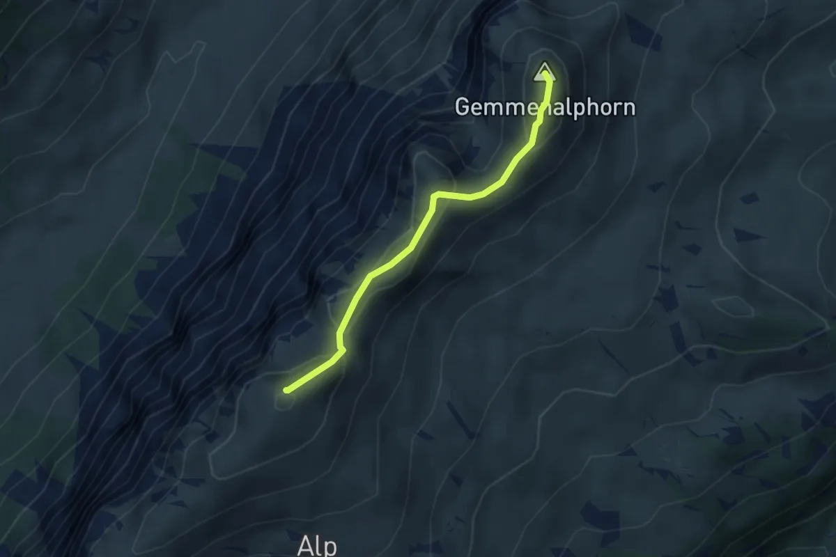
Medium · Summit
Burgfeldstand – Gemmenalphorn
3.0 km · ↑ 130 m · 1 h · 11 km away
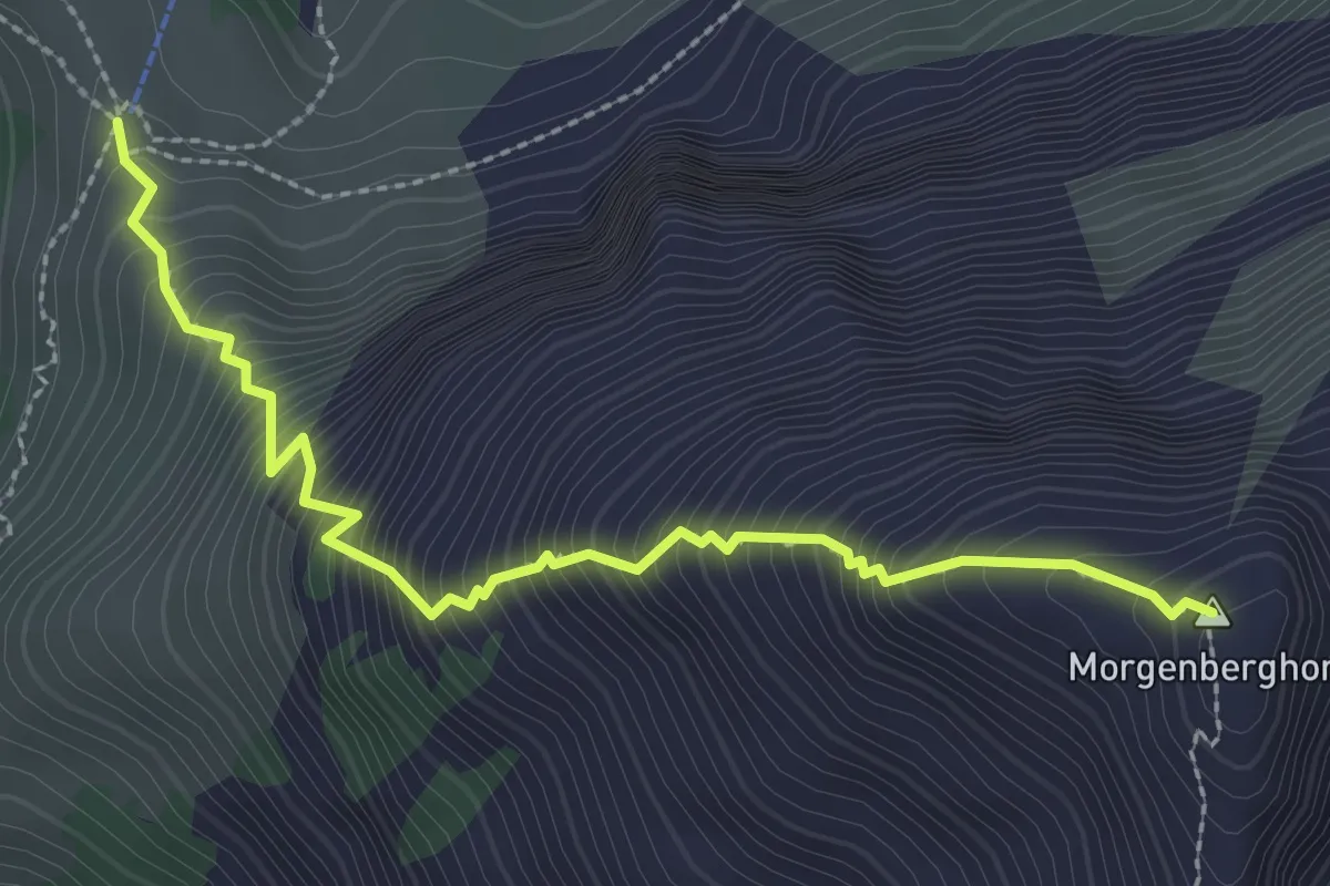
Demanding · Summit
Brunni - Morgenberghorn
2.8 km · ↑ 577 m · 1 h 55 min · 11 km away
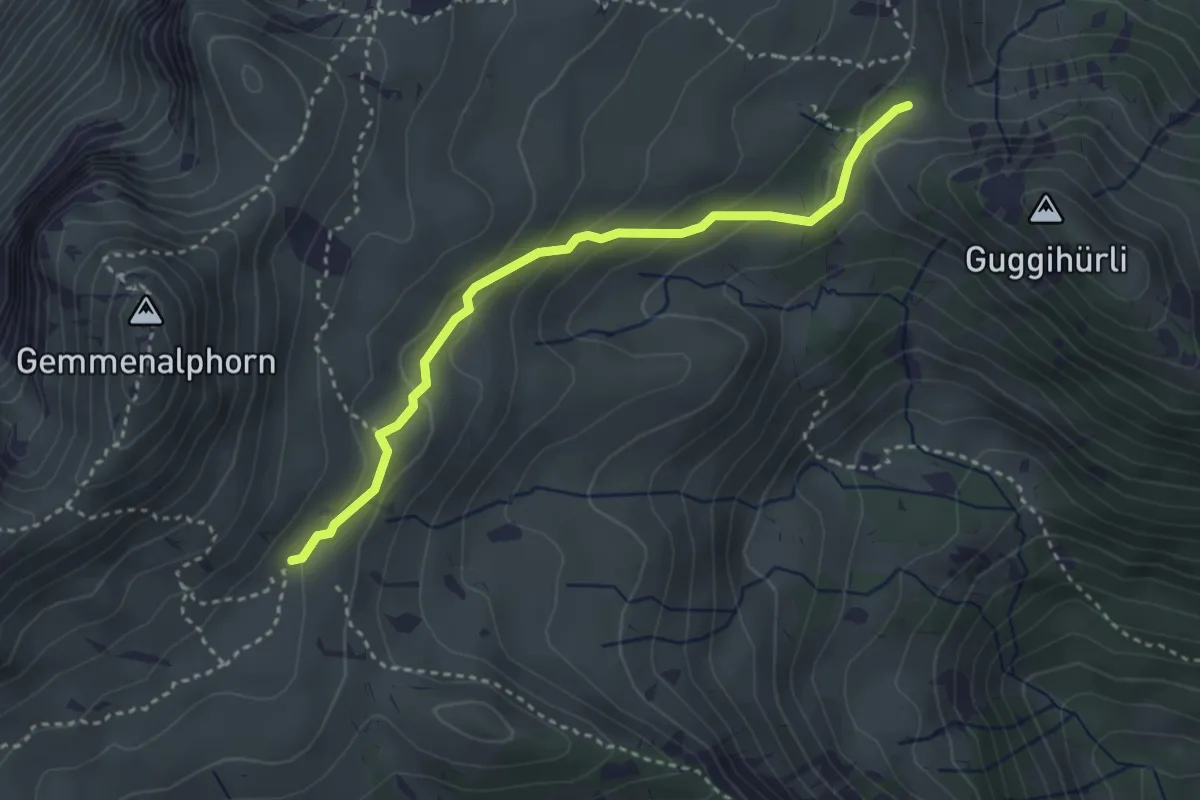
Medium · Trail
Gemmenalp/Oberberg – Bärenei
3.3 km · ↑ 183 m · 1 h 11 min · 11 km away
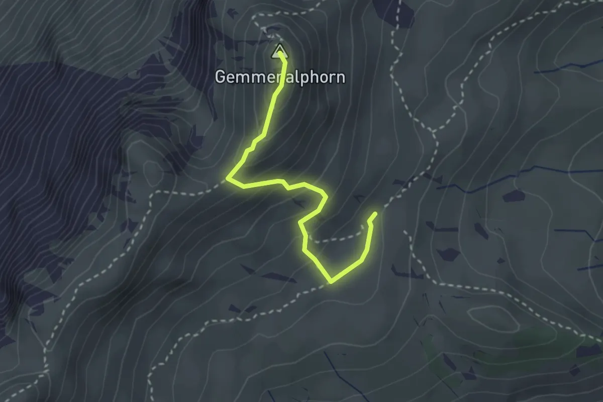
Medium · Summit
Gemmenalp/Oberberg – Gemmenalphorn
2.6 km · ↑ 171 m · 59 min · 11 km away
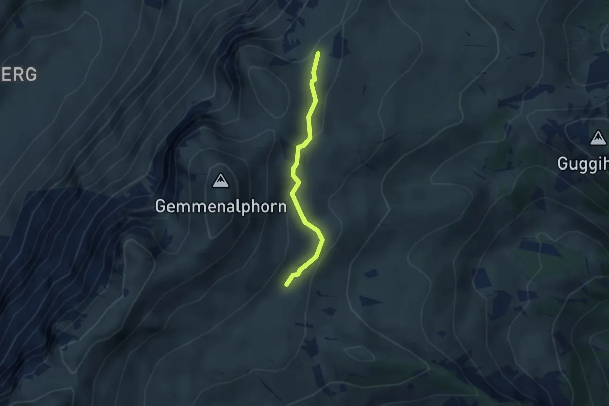
Medium · Trail
Gemmenalp/Oberberg – Kühstand
2.5 km · ↑ 85 m · 46 min · 11 km away
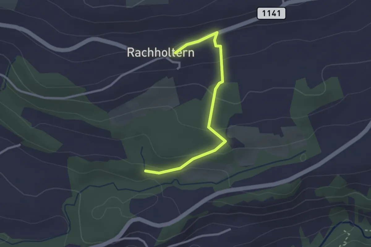
Easy · Trail
Rachholtern – Birchigraben
2.5 km · ↑ 124 m · 52 min · 11 km away
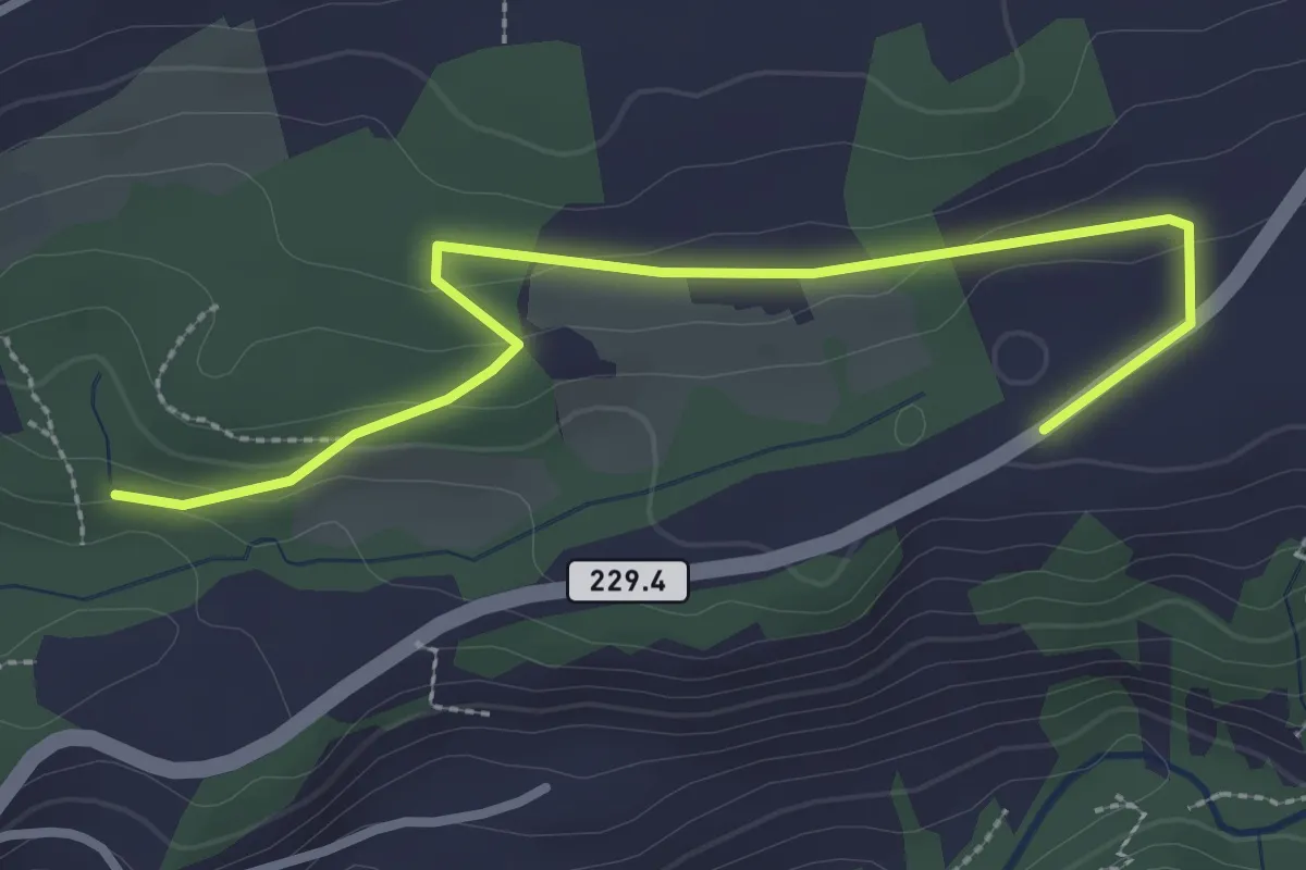
Easy · Trail
Birchigraben – Ober Emberg
3.1 km · ↑ 87 m · 55 min · 11 km away
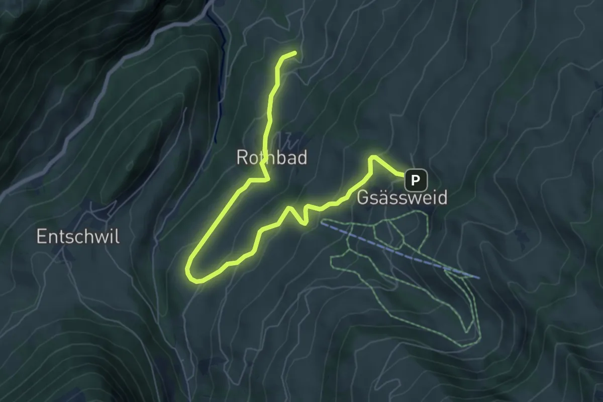
Medium · Trail
Tiefenbach – Hasenloch
7.8 km · ↑ 406 m · 2 h 44 min · 11 km away
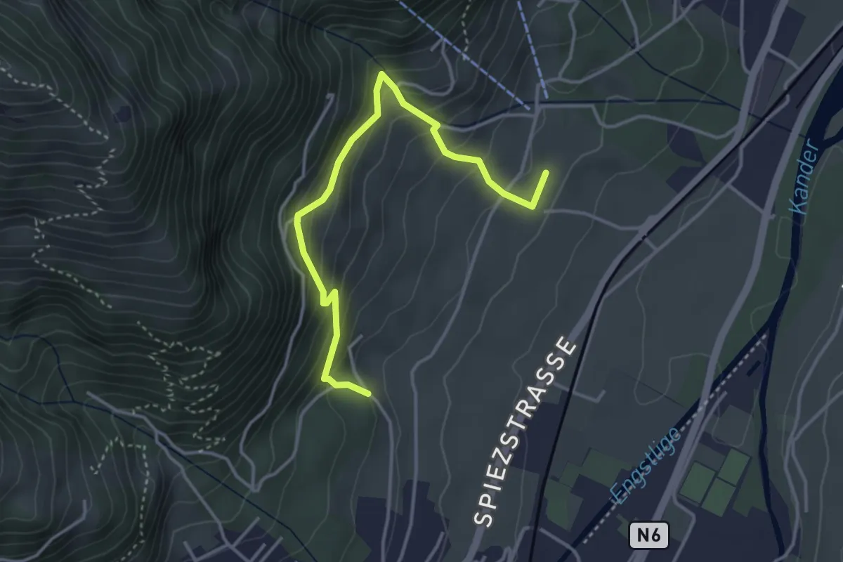
Medium · Trail
Tanzplatz – Winkeln
3.8 km · ↑ 343 m · 1 h 39 min · 11 km away
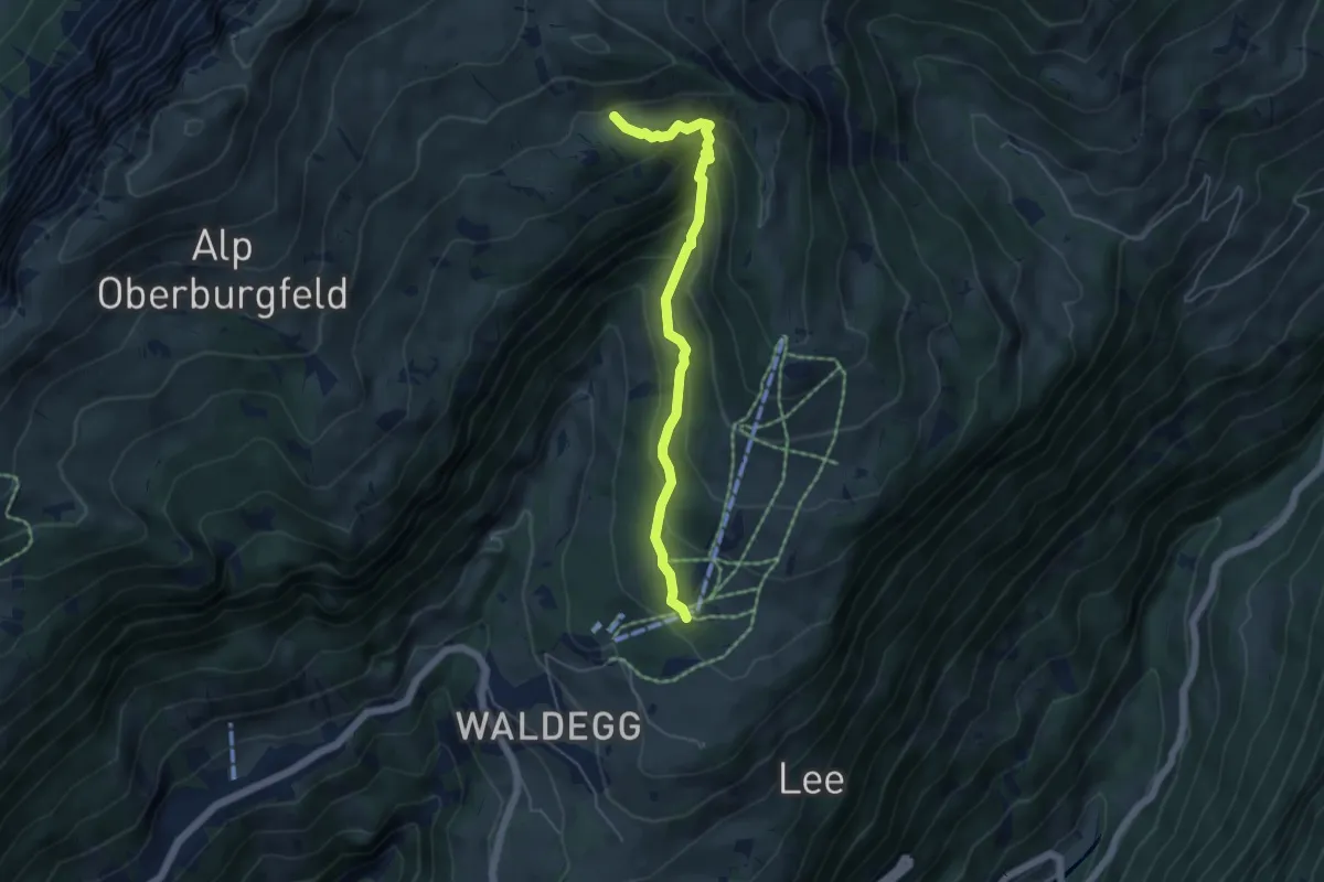
Medium · Trail
Chüematte – Grosse Stall
4.9 km · ↑ 377 m · 1 h 59 min · 11 km away
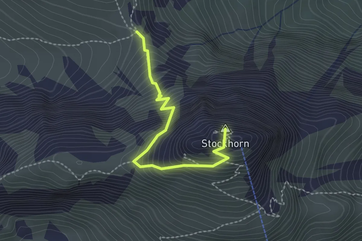
Demanding · Summit
Stockhorn – Bacchegg
2.2 km · ↑ 381 m · 1 h 20 min · 11 km away
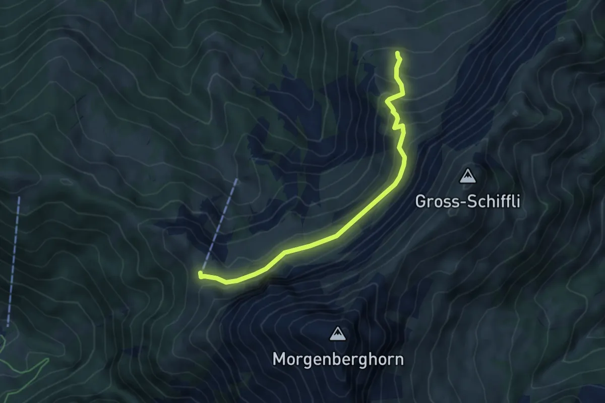
Demanding · Cabin
Leissigbärgli - Brunii
5.2 km · ↑ 386 m · 2 h 4 min · 11 km away
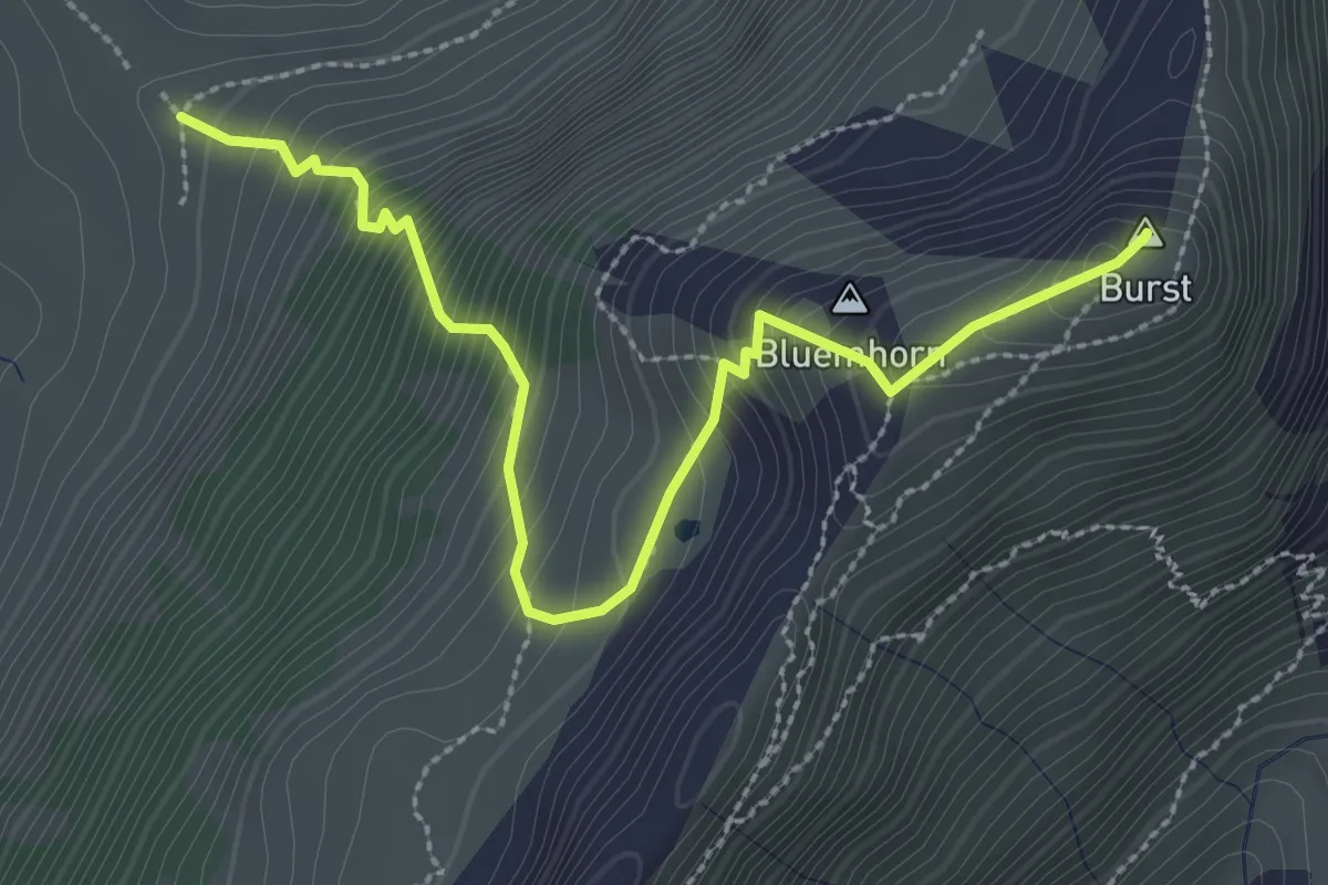
Demanding · Summit
Burst - fixme
3.2 km · ↑ 450 m · 1 h 44 min · 11 km away
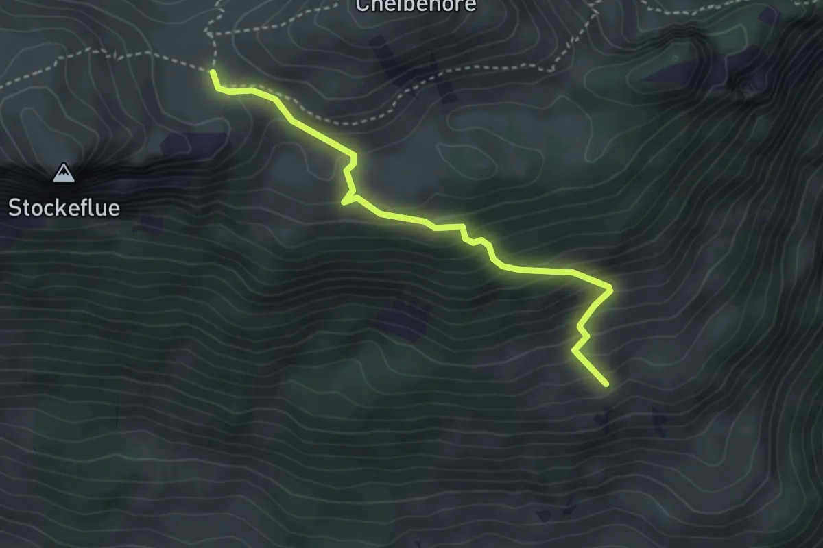
Medium · Trail
Vorderstockenalp – Ufem Hus
3.5 km · ↑ 330 m · 1 h 32 min · 11 km away
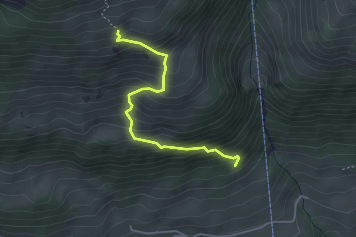
Medium · Trail
Salacher – Ufem Hus
3.2 km · ↑ 415 m · 1 h 39 min · 11 km away
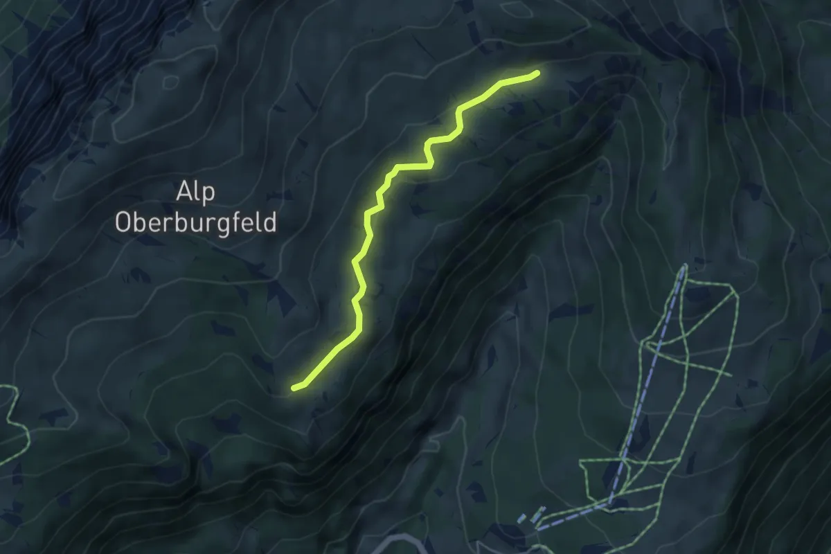
Easy · Trail
Chüematte – Unterburgfeld
4.1 km · ↑ 99 m · 1 h 11 min · 11 km away
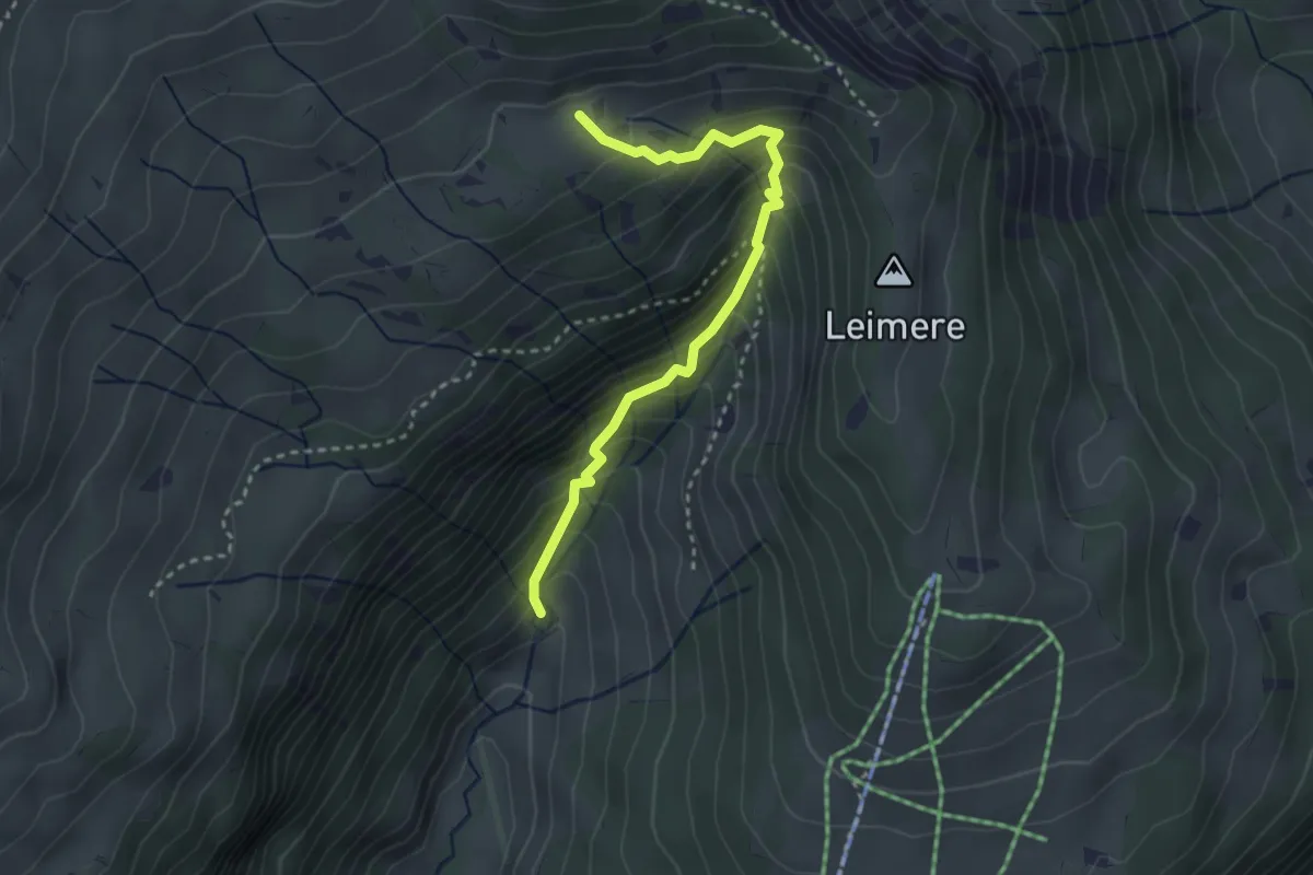
Medium · Trail
Rischeren – Chüematte
3.1 km · ↑ 363 m · 1 h 31 min · 11 km away
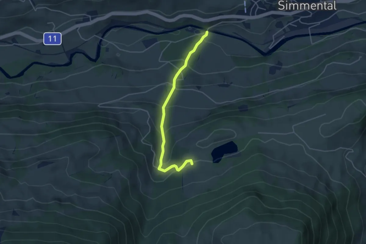
Easy · Trail
Steinibrügg – Aegelsee
3.9 km · ↑ 298 m · 1 h 34 min · 11 km away
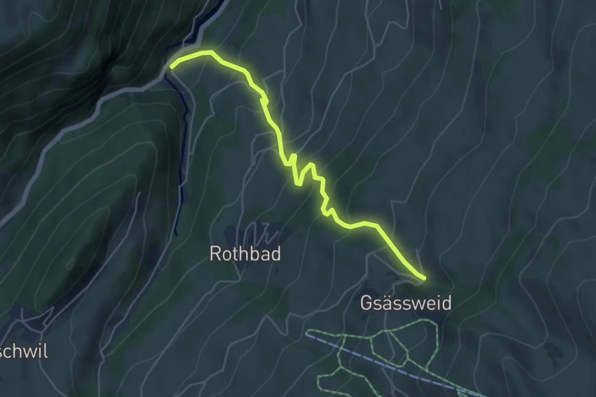
Medium · Trail
Horboden – Hasenloch
4.9 km · ↑ 480 m · 2 h 11 min · 11 km away
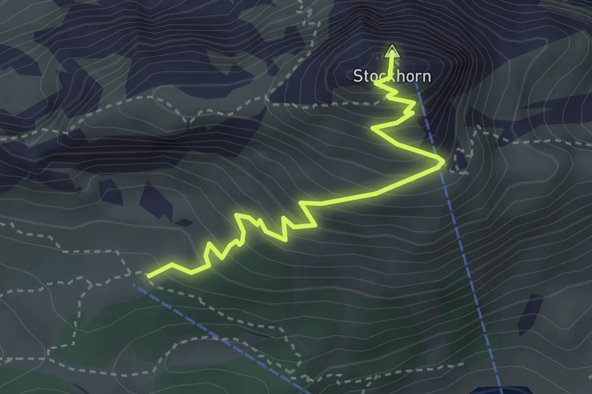
Medium · Summit
Oberstockenalp – Stockhorn
3.3 km · ↑ 367 m · 1 h 34 min · 11 km away
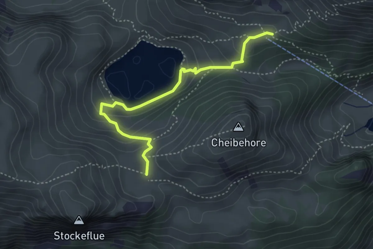
Medium · Trail
Vorderstockenalp – Oberstockenalp
4.0 km · ↑ 231 m · 1 h 26 min · 11 km away
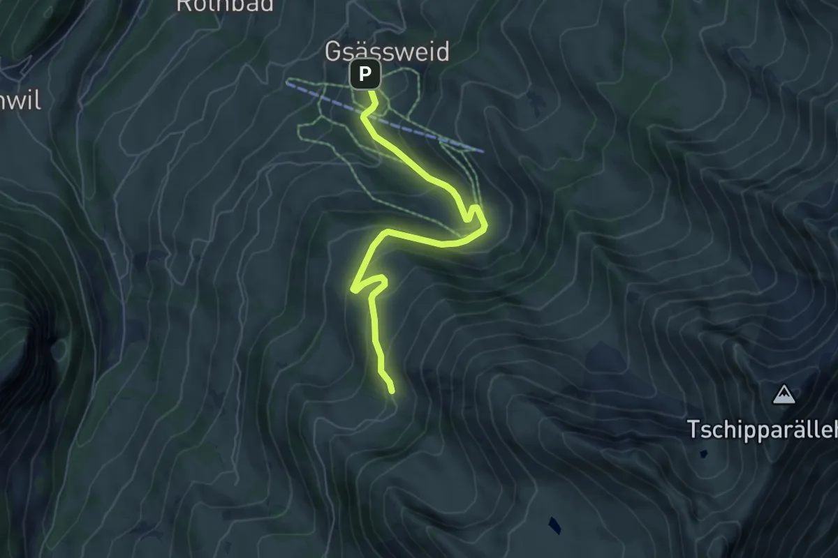
Medium · Trail
Horn - Springebode
6.0 km · ↑ 326 m · 2 h 7 min · 11 km away
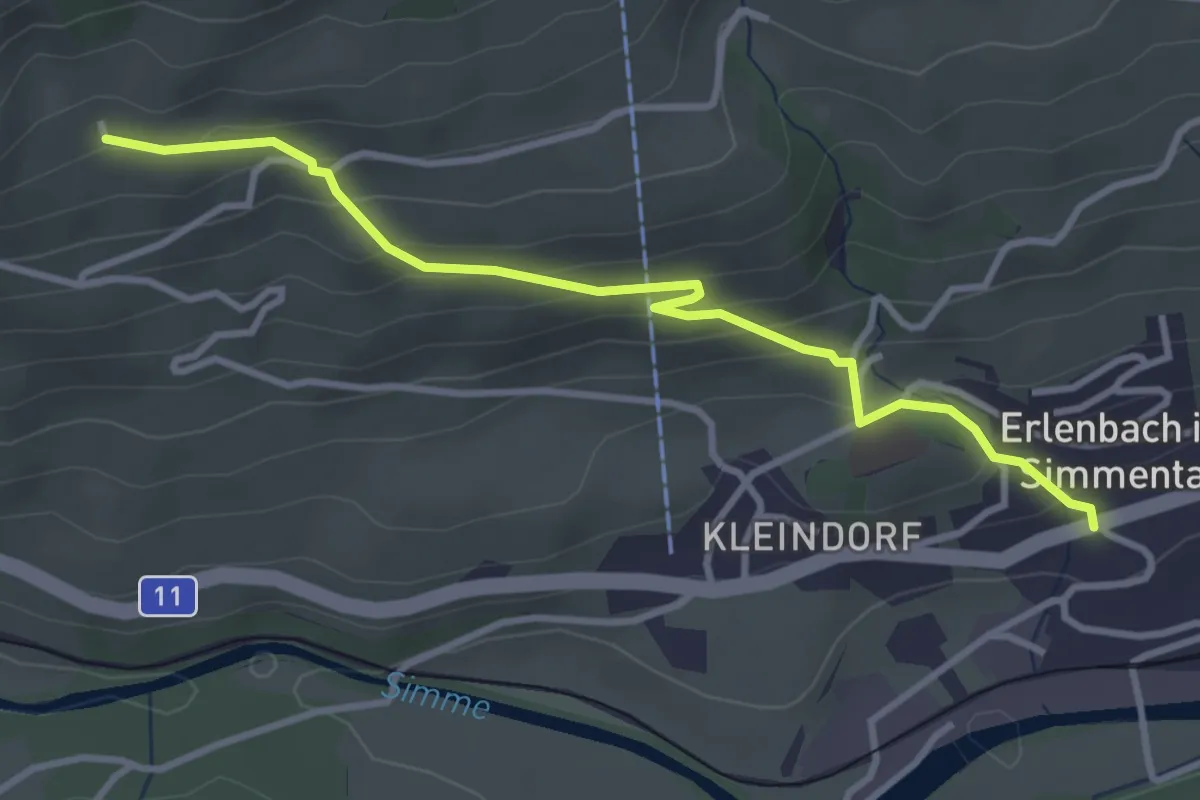
Easy · Trail
Obereschle – Erlenbach
3.5 km · ↑ 239 m · 1 h 20 min · 11 km away
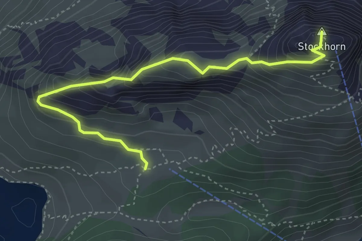
Demanding · Summit
Stockhorn – Oberstockenalp
3.9 km · ↑ 392 m · 1 h 46 min · 11 km away
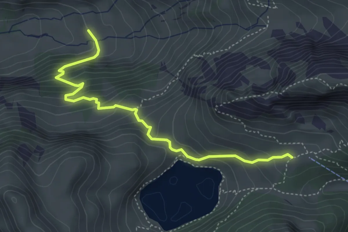
Demanding · Trail
Oberstackenalp – Unterwalalp
4.6 km · ↑ 385 m · 1 h 56 min · 11 km away
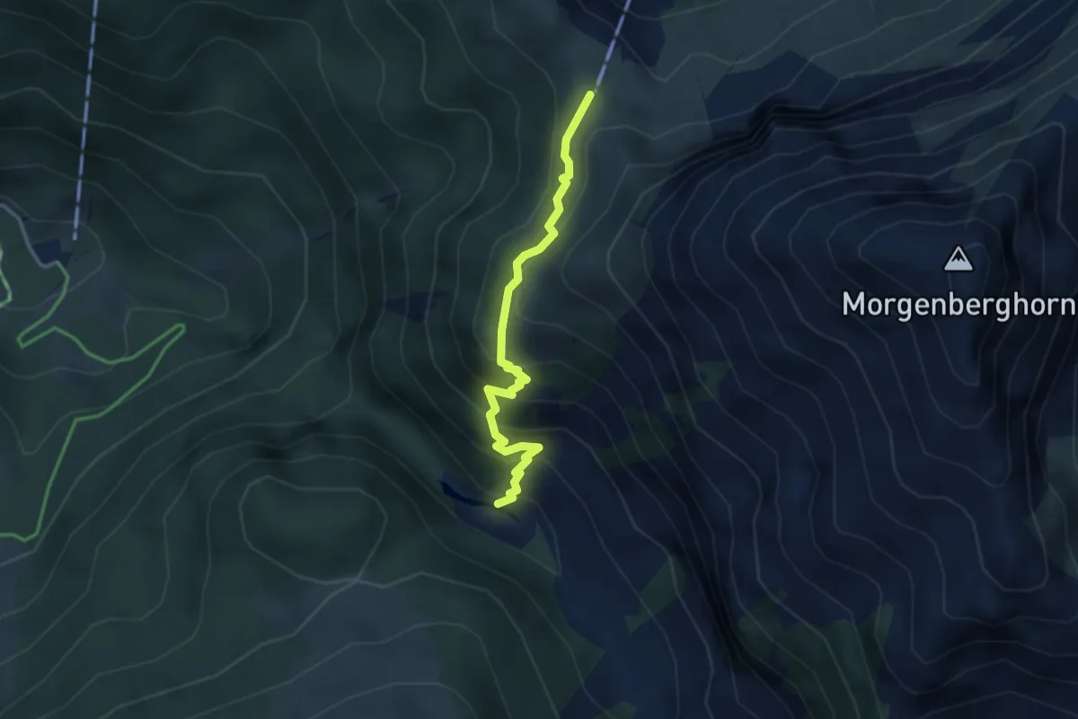
Medium · Cabin
Louene – Brunni
3.0 km · ↑ 378 m · 1 h 32 min · 11 km away
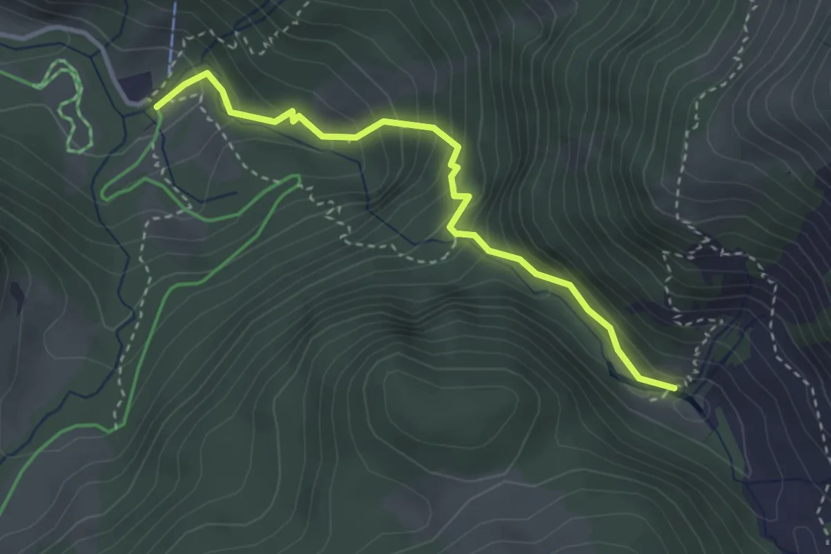
Demanding · Trail
Louene – Suld
3.2 km · ↑ 324 m · 1 h 27 min · 11 km away
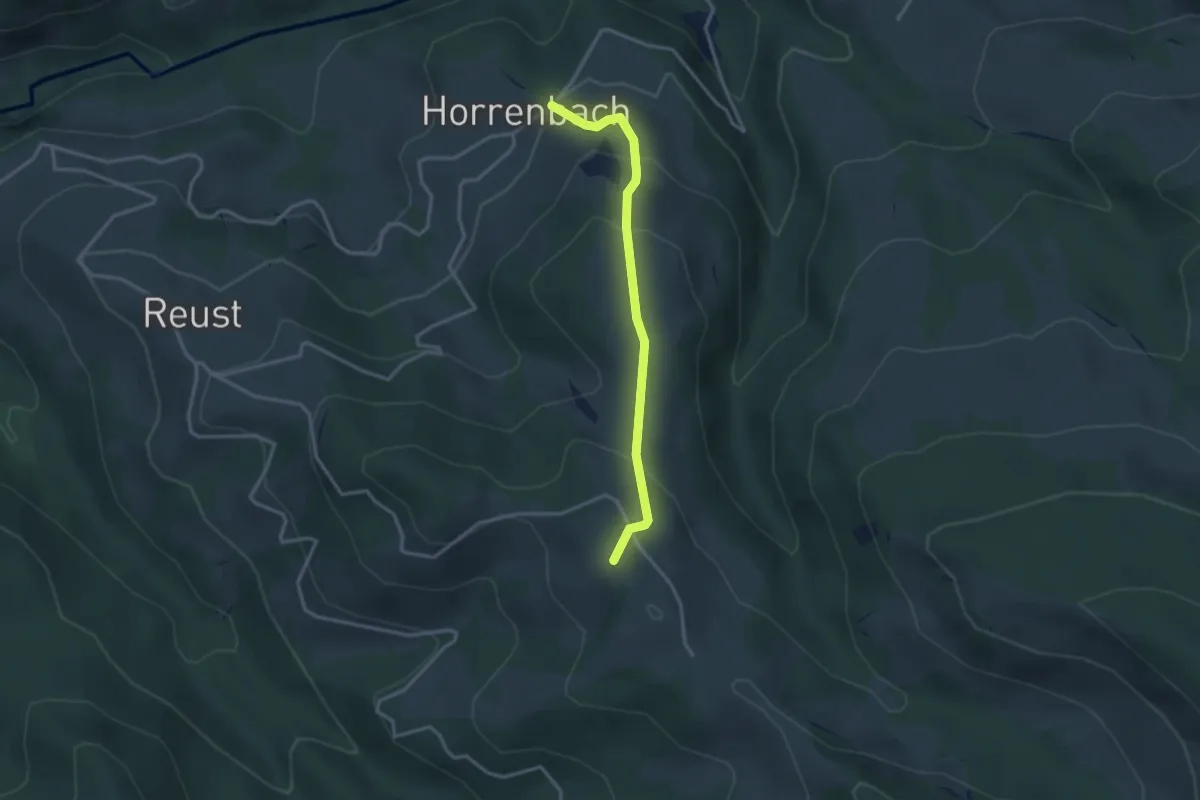
Easy · Summit
Horrenbach – Hubel
2.9 km · ↑ 197 m · 1 h 7 min · 11 km away
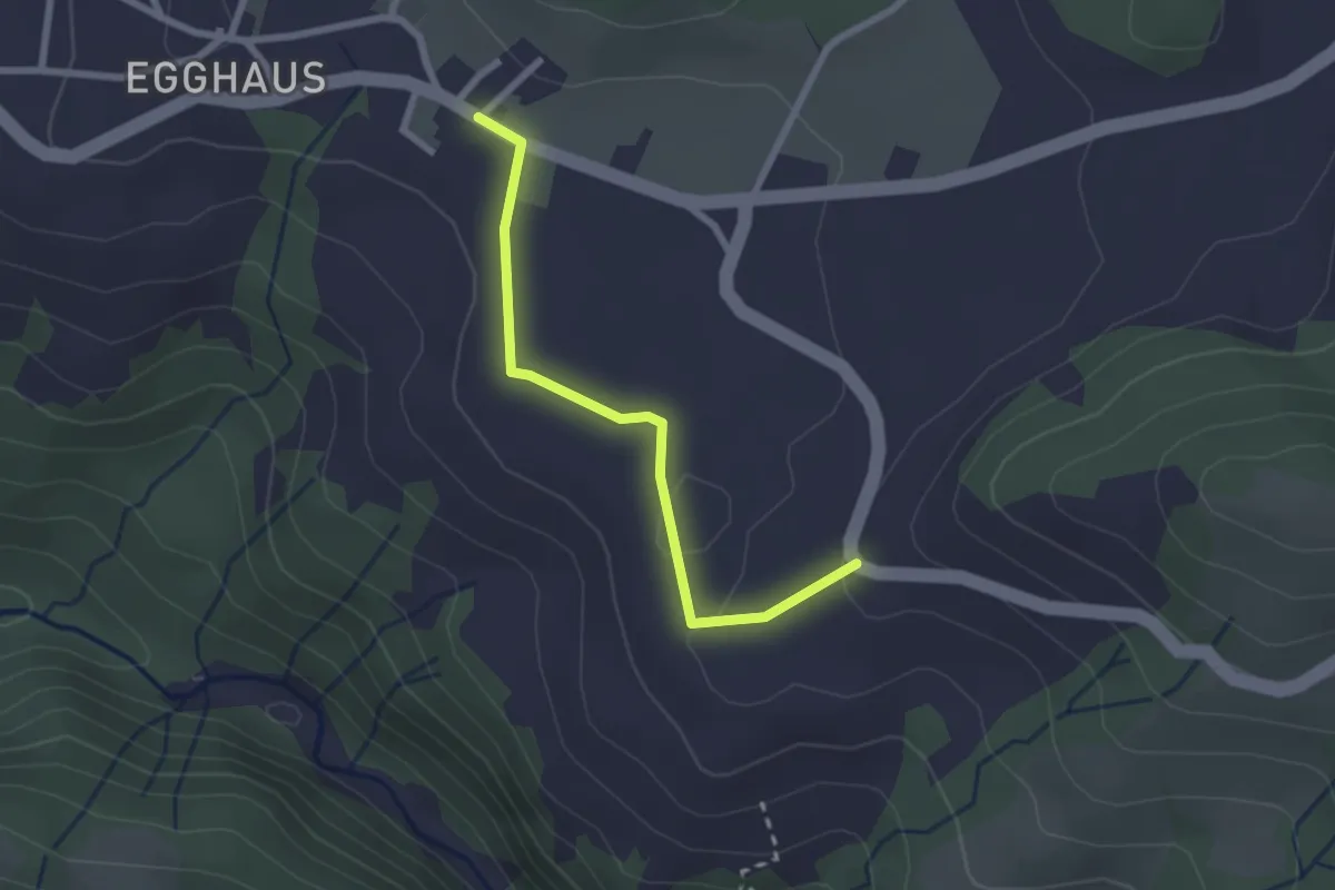
Easy · Trail
Schwarzenegg – Honegg
2.3 km · ↑ 39 m · 37 min · 11 km away