Trails near Spiez
411 hikes starting within 15 km, nearest first.
Nearest first, page 7 of 9
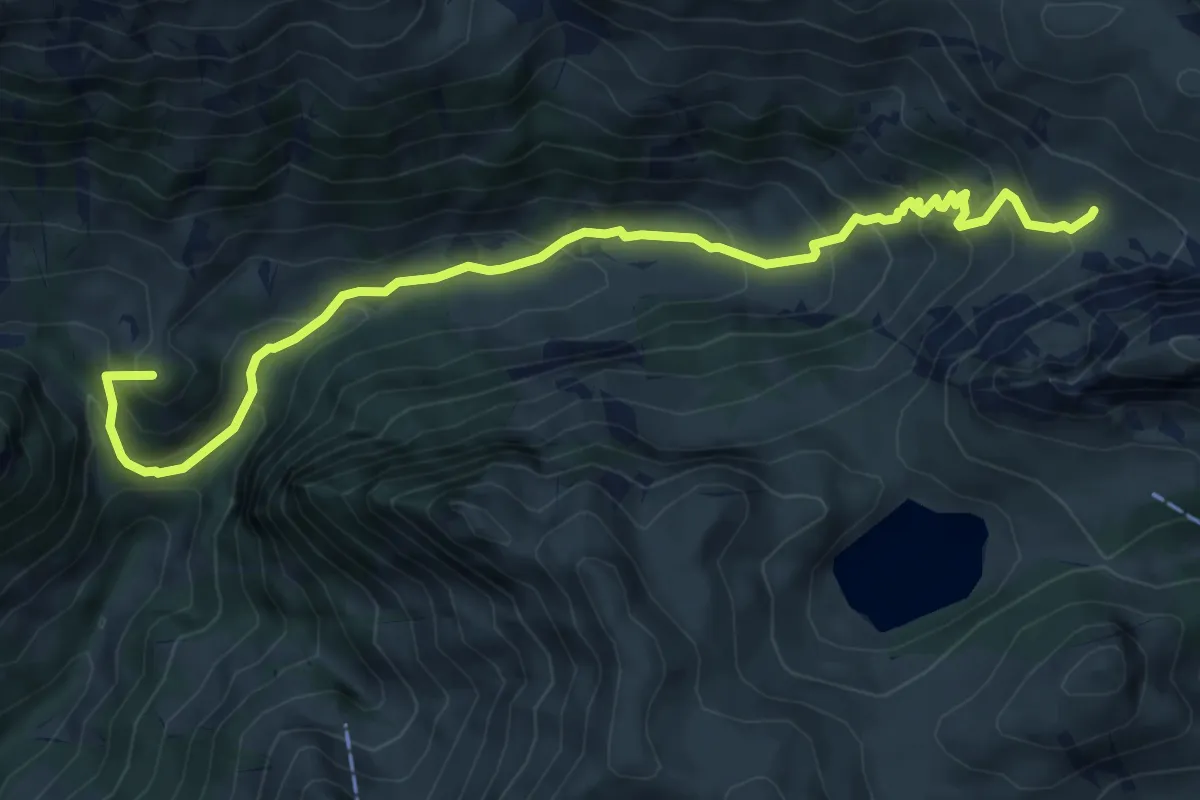
Medium · Summit
Obere Walalp – Leiterepass
8.2 km · ↑ 646 m · 3 h 20 min · 11 km away
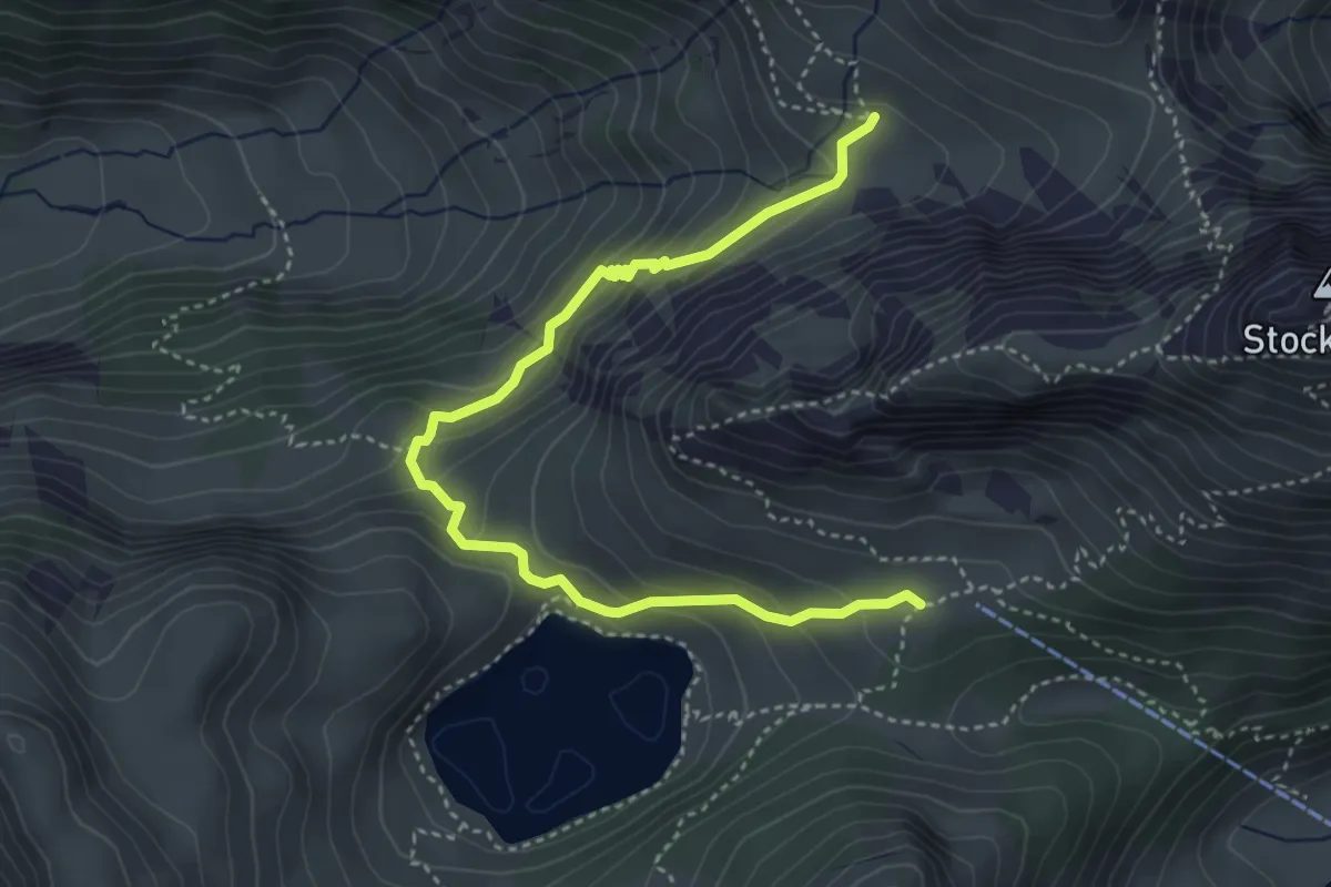
Demanding · Trail
Obere Walalp – Oberstockenalp
4.5 km · ↑ 337 m · 1 h 47 min · 11 km away
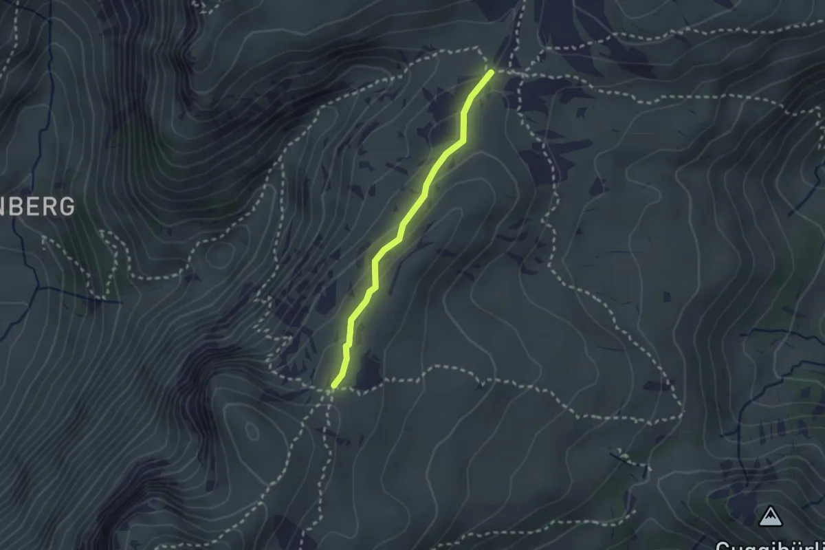
Medium · Trail
Kühstand – Seefeld / Oberberg
2.1 km · ↑ 104 m · 44 min · 11 km away
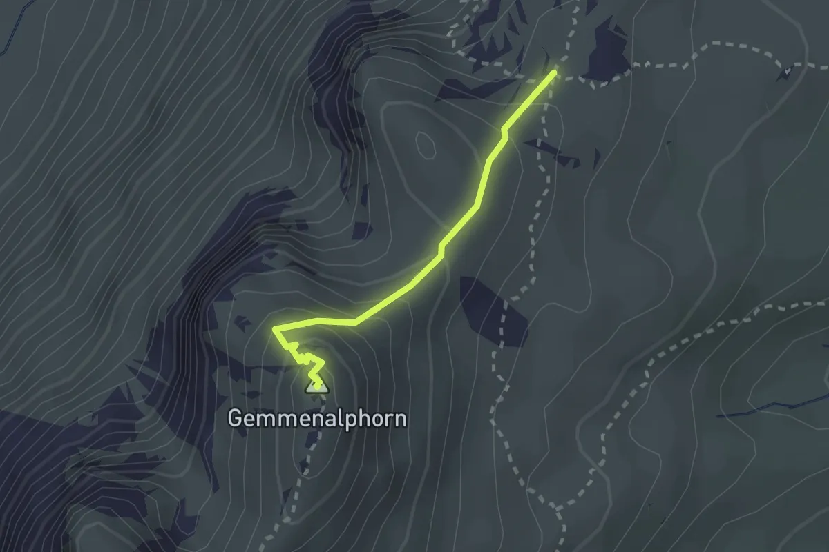
Medium · Summit
Gemmenalphorn – Kühstand
2.0 km · ↑ 158 m · 48 min · 11 km away
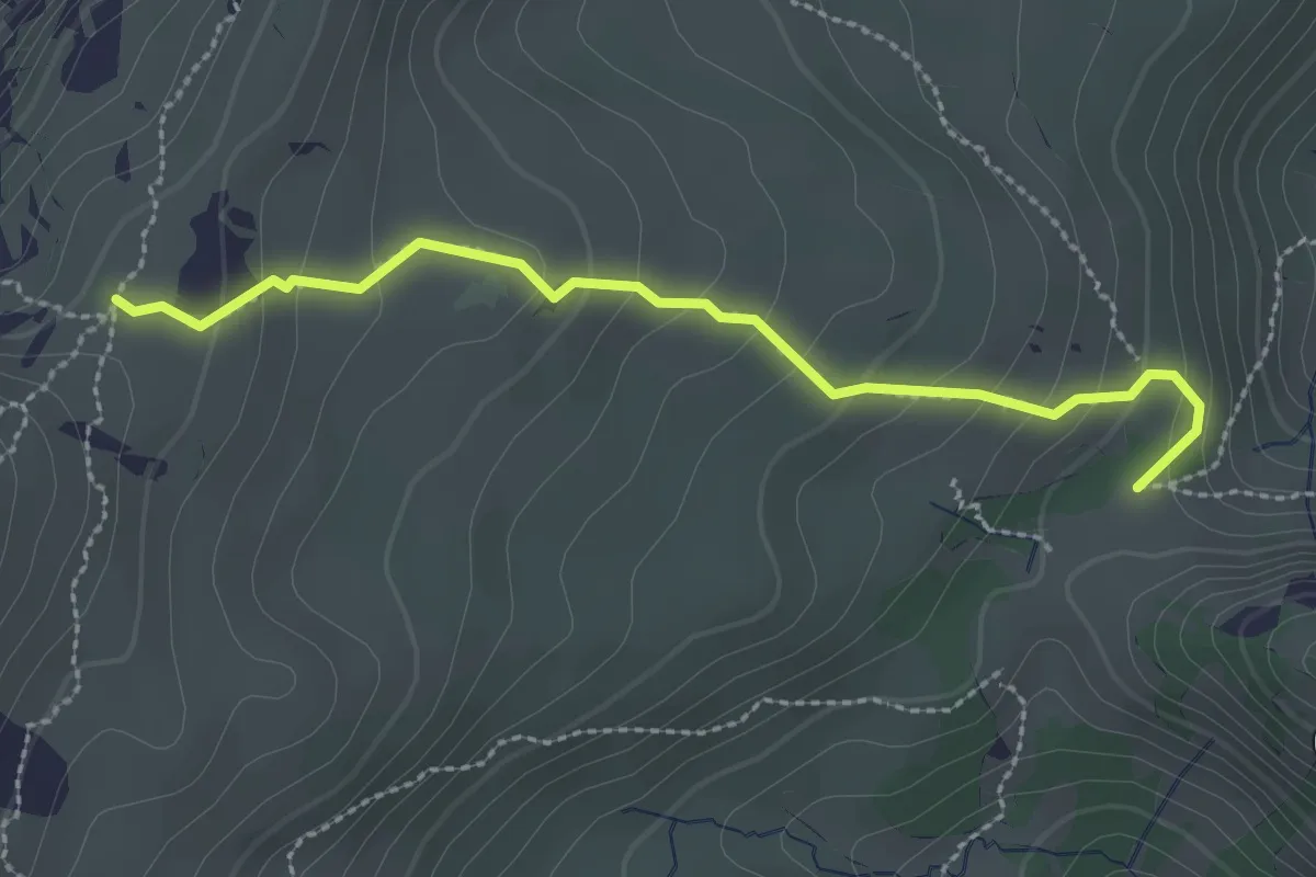
Medium · Trail
Kühstand – Bäreney
2.6 km · ↑ 193 m · 1 h 2 min · 11 km away
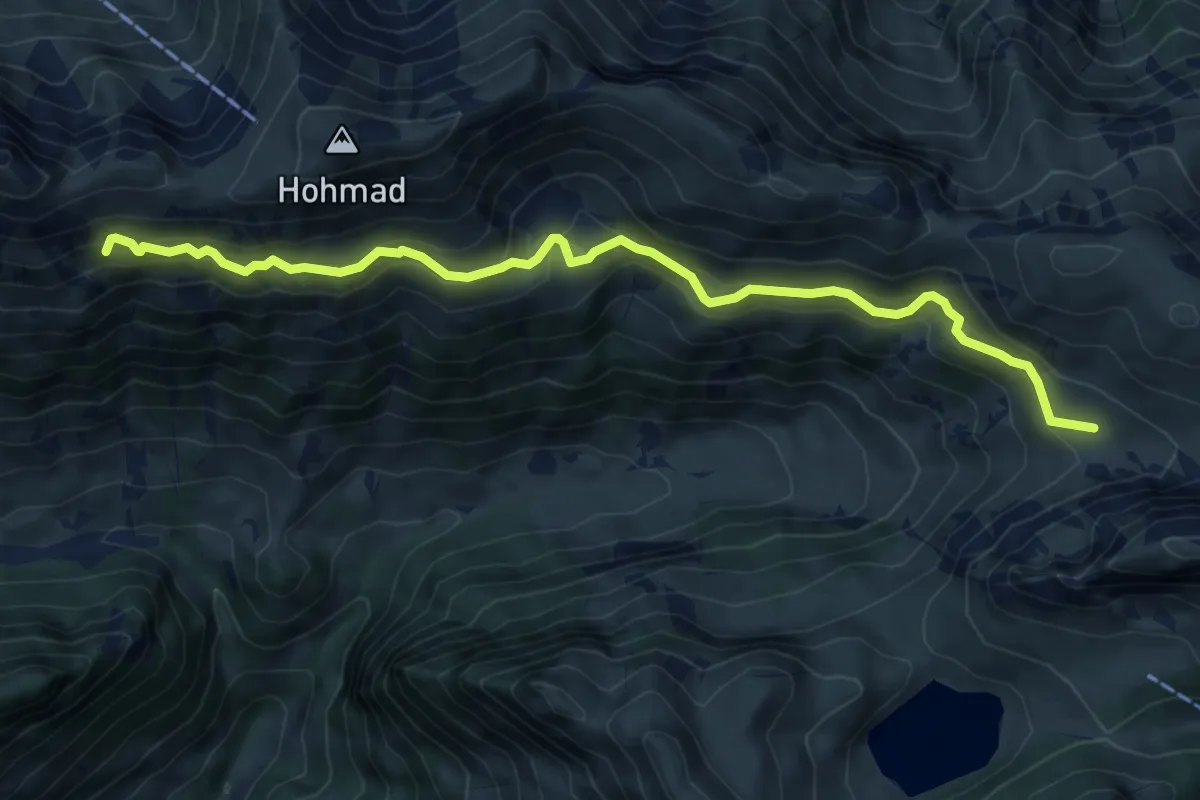
Medium · Trail
Obere Walalp – Schiterwang
8.0 km · ↑ 441 m · 2 h 50 min · 11 km away
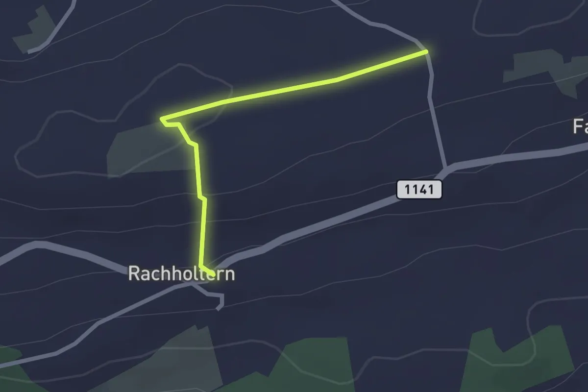
Easy · Trail
Chrüzweg – Rachholtern
2.1 km · ↑ 73 m · 39 min · 11 km away
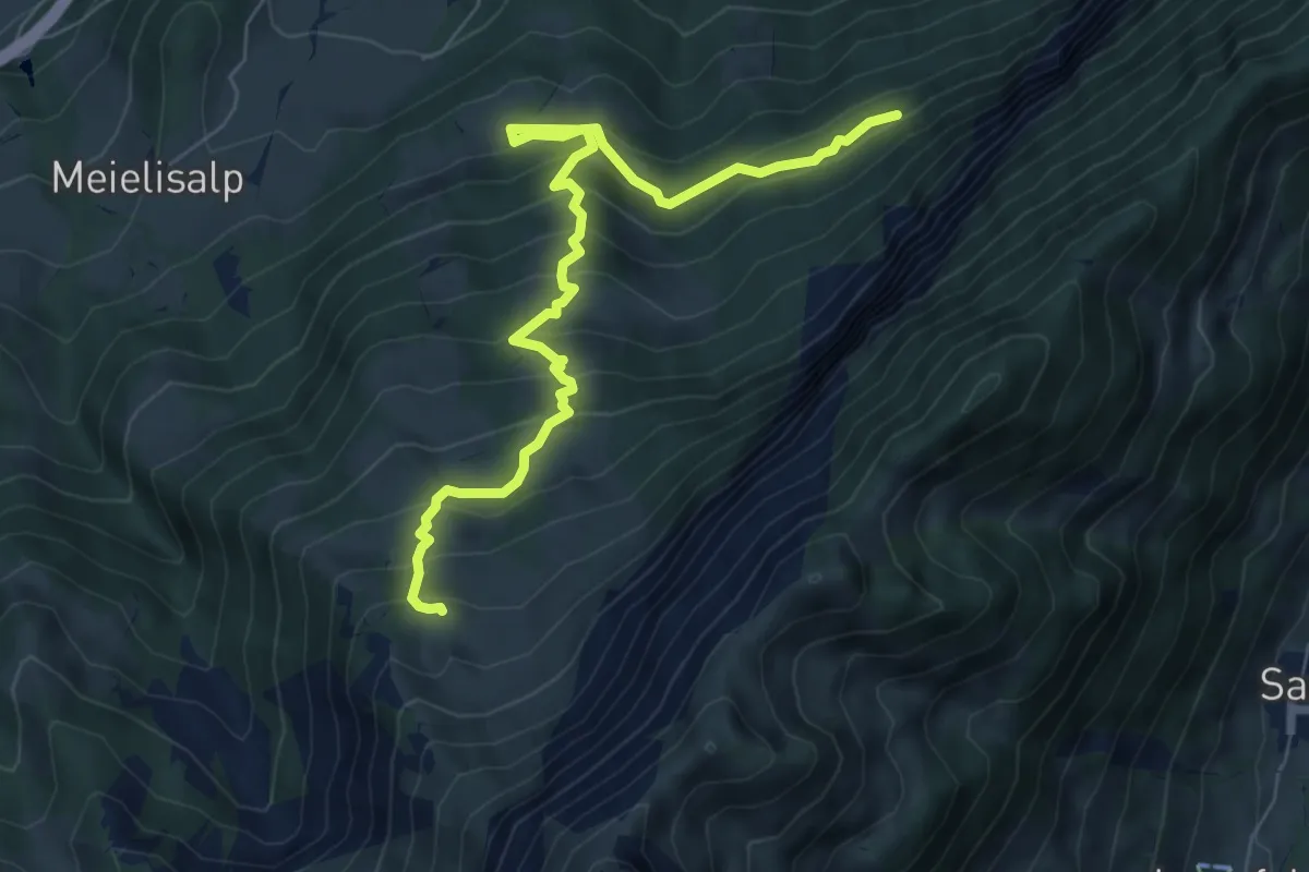
Medium · Trail
Weberweid - Leissigbärgli
7.7 km · ↑ 672 m · 3 h 17 min · 11 km away
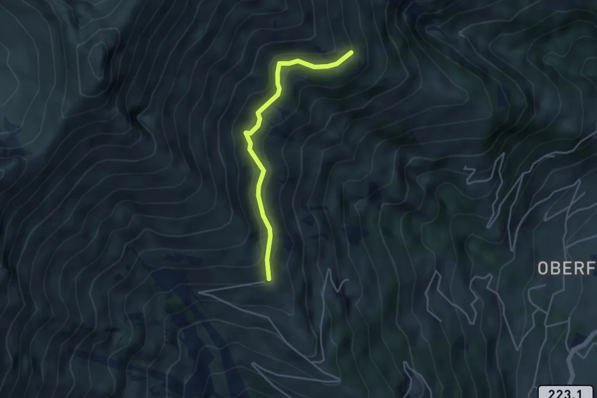
Easy · Trail
Zismasegg – Mäggisserenegg
3.5 km · ↑ 219 m · 1 h 19 min · 12 km away
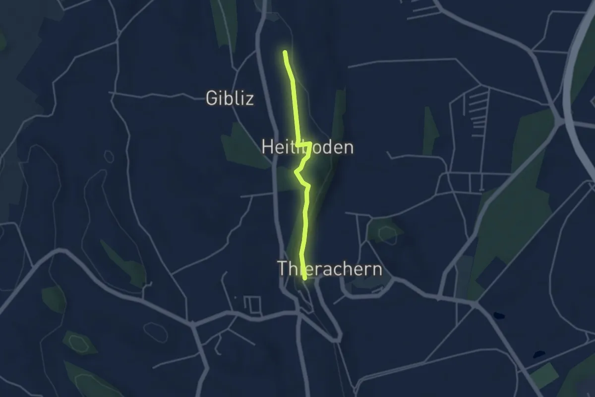
Easy · Trail
Thierachern-Willerüti
3.0 km · ↑ 62 m · 51 min · 12 km away
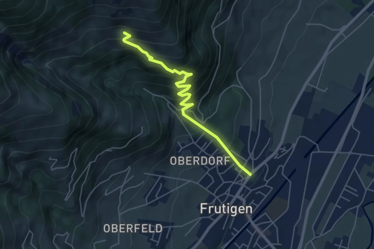
Medium · Trail
Frutigen – Ueblenberg
4.6 km · ↑ 470 m · 2 h 7 min · 12 km away
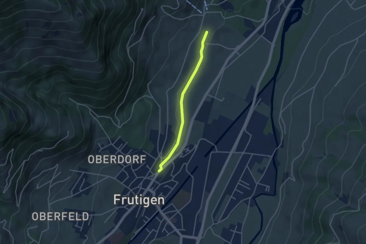
Easy · Trail
Frutigen – Winklen
2.9 km · ↑ 34 m · 45 min · 12 km away
Medium · Trail
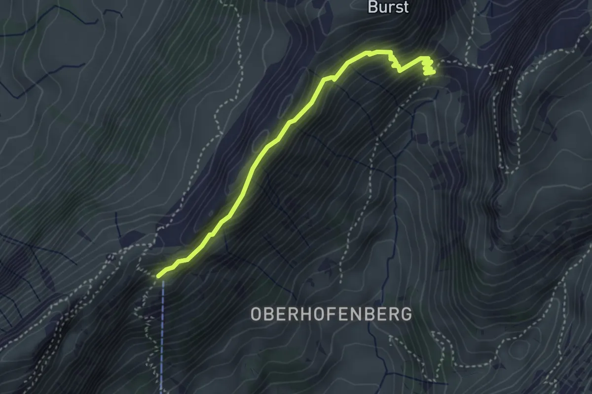
Schäferhüttli - fixme
3.6 km · ↑ 329 m · 1 h 34 min · 12 km away
Easy · Trail
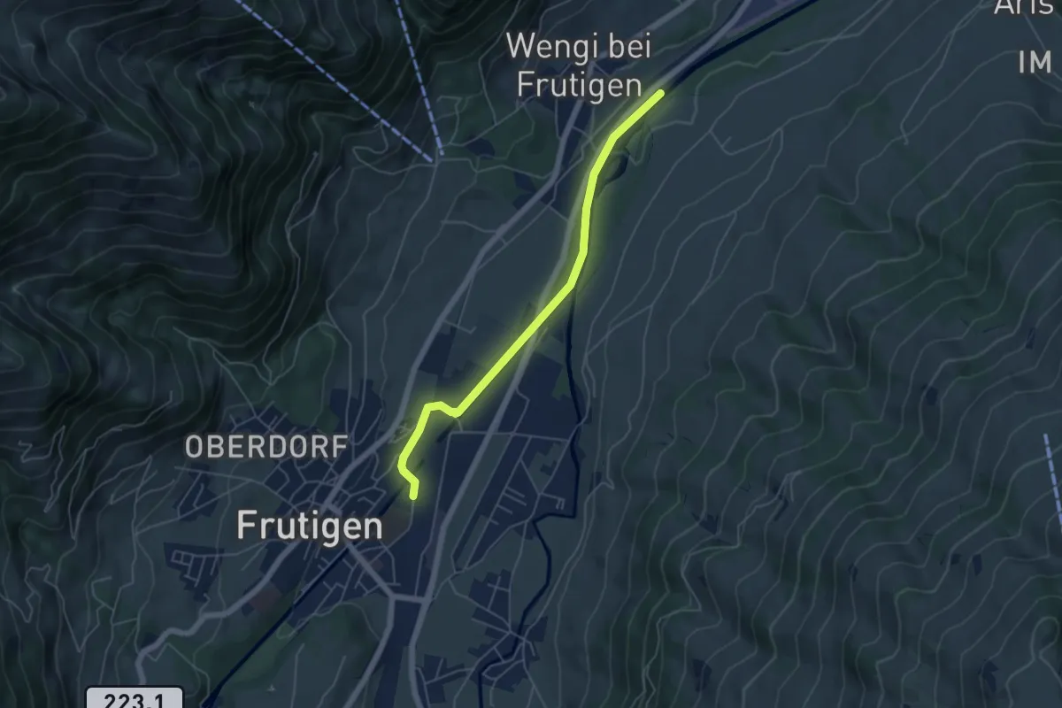
Schwandisteg - Frutigen
5.1 km · ↑ 47 m · 1 h 18 min · 12 km away
Medium · Trail
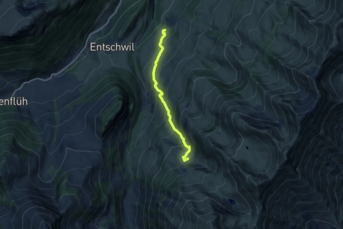
Rothbad – Under Meiefall
7.3 km · ↑ 612 m · 3 h 2 min · 12 km away
Easy · Summit
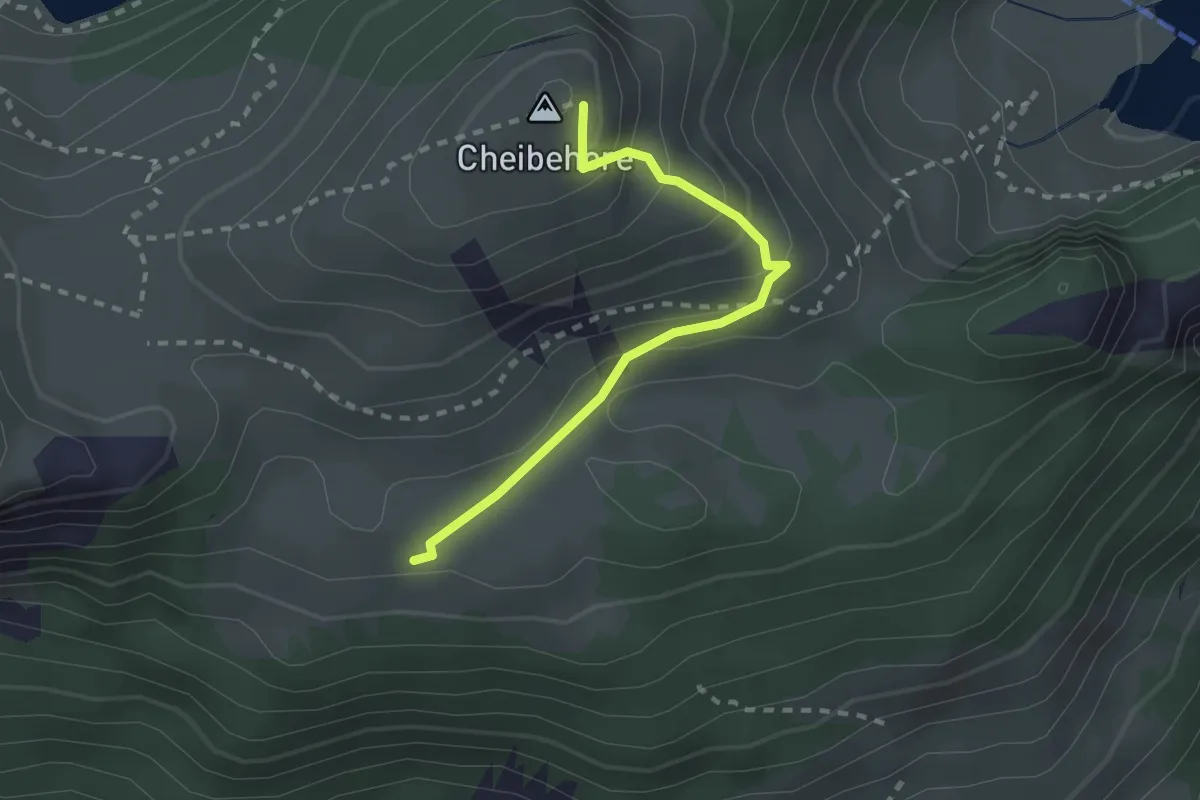
Vorderstocken – Cheibehor
2.2 km · ↑ 182 m · 54 min · 12 km away
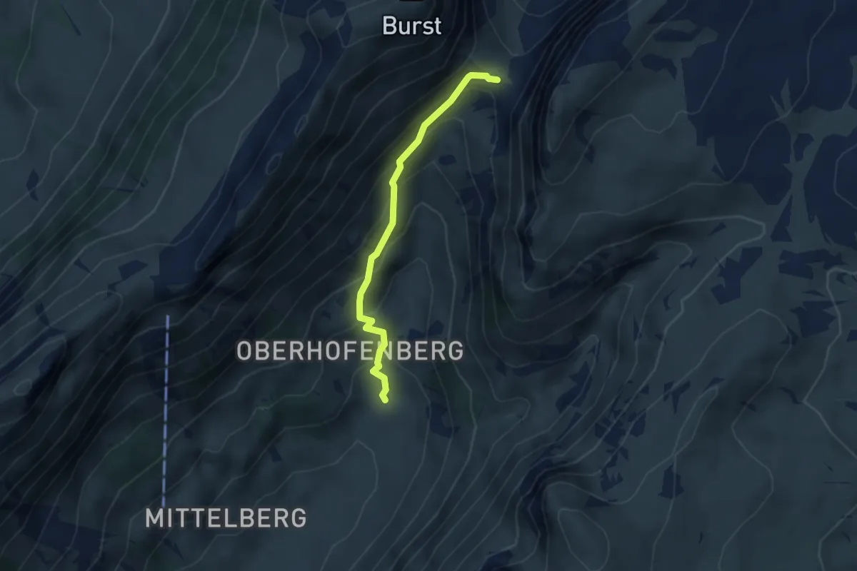
Medium · Trail
Hinterstberg – Sichle
3.1 km · ↑ 315 m · 1 h 25 min · 12 km away
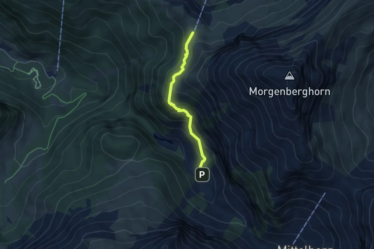
Medium · Cabin
Schlieri – Brunni
3.4 km · ↑ 312 m · 1 h 28 min · 12 km away
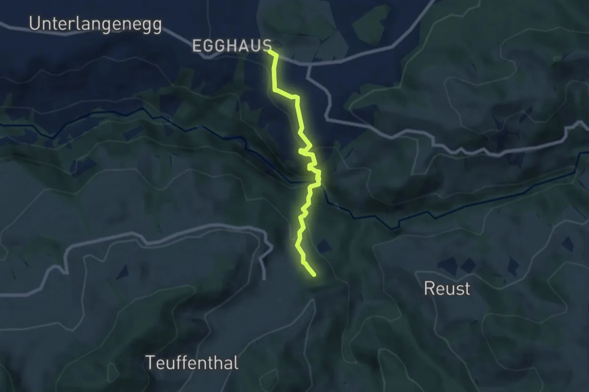
Medium · Summit
Schwarzenegg – Teuffenthal/Burghalten
5.5 km · ↑ 293 m · 1 h 56 min · 12 km away
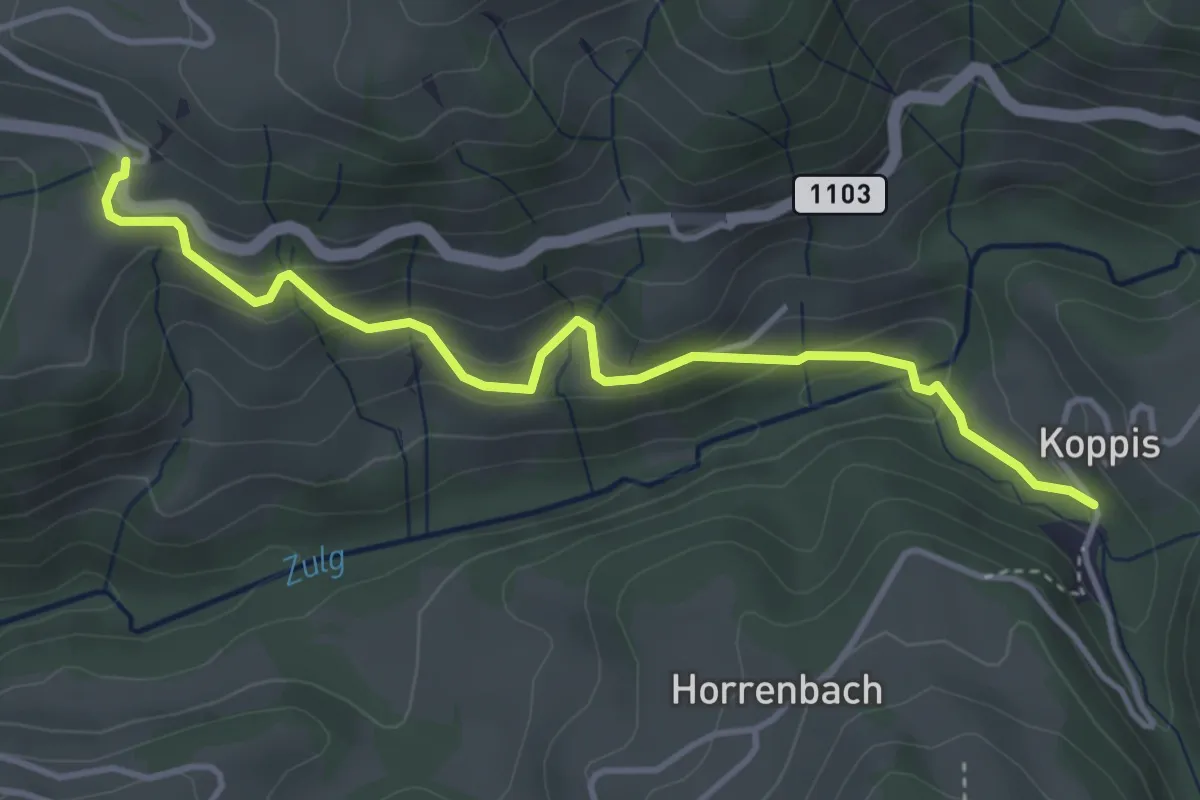
Easy · Trail
Losenegg – Horrenbachmüli
4.1 km · ↑ 271 m · 1 h 34 min · 12 km away
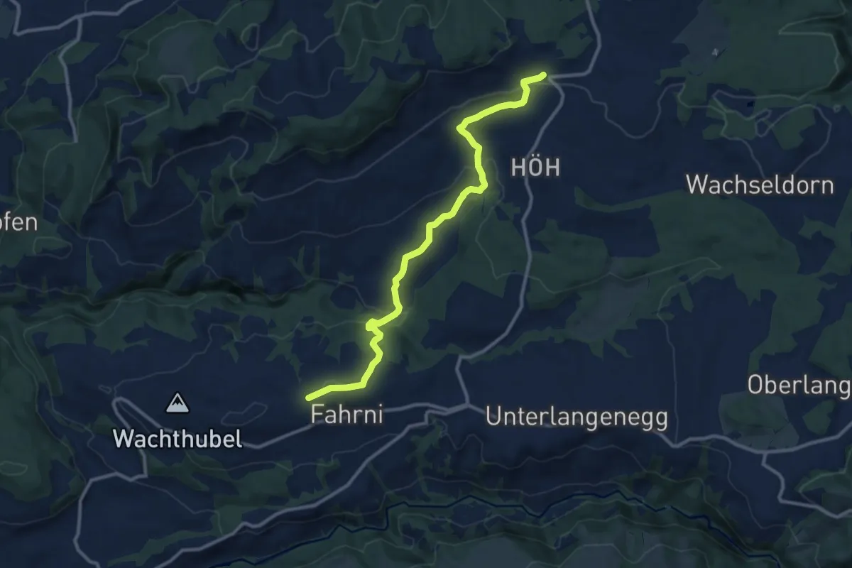
Medium · Trail
Heimenschwand – Chrüzweg
11.0 km · ↑ 337 m · 3 h 19 min · 12 km away
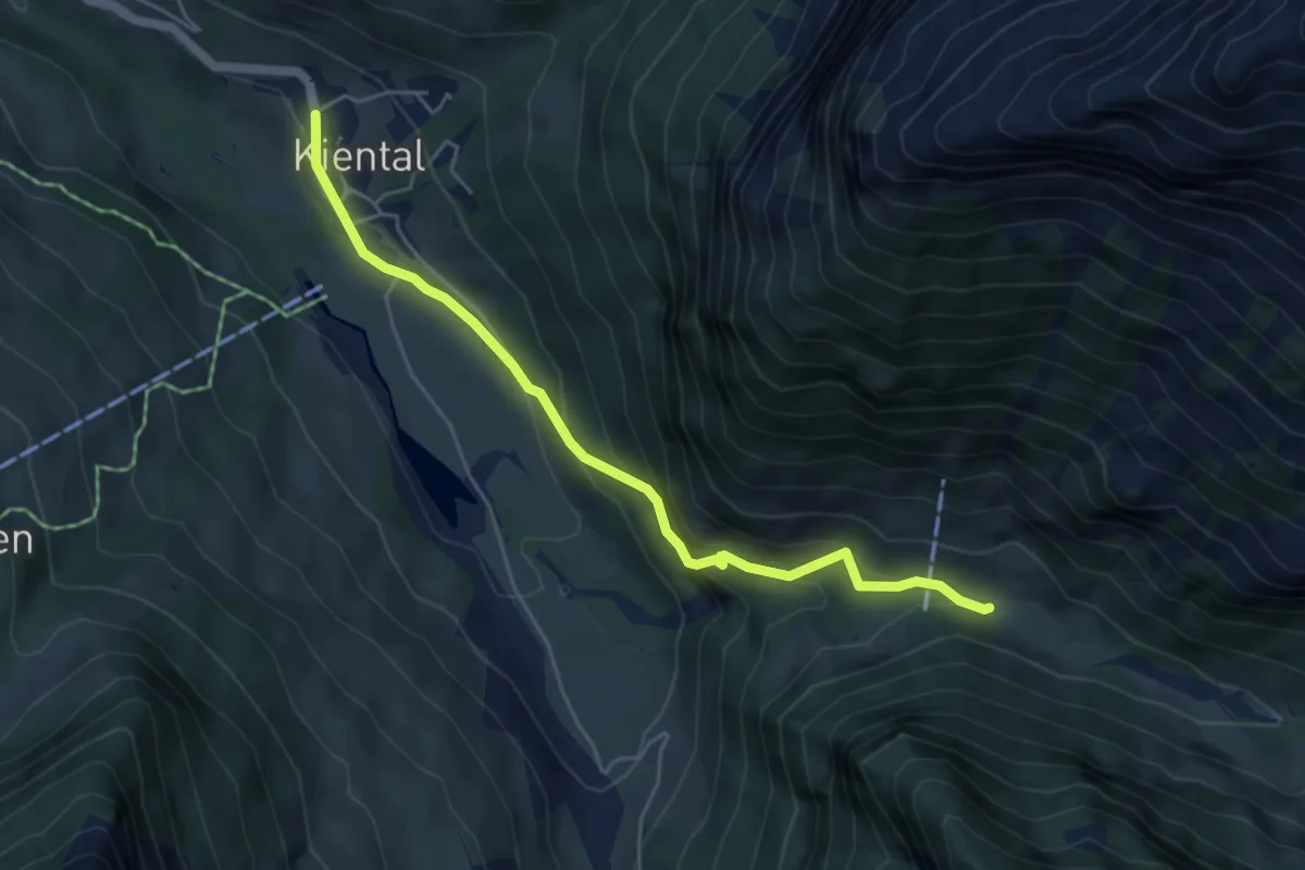
Medium · Trail
Spiggergrund – Kiental
5.1 km · ↑ 339 m · 1 h 56 min · 12 km away
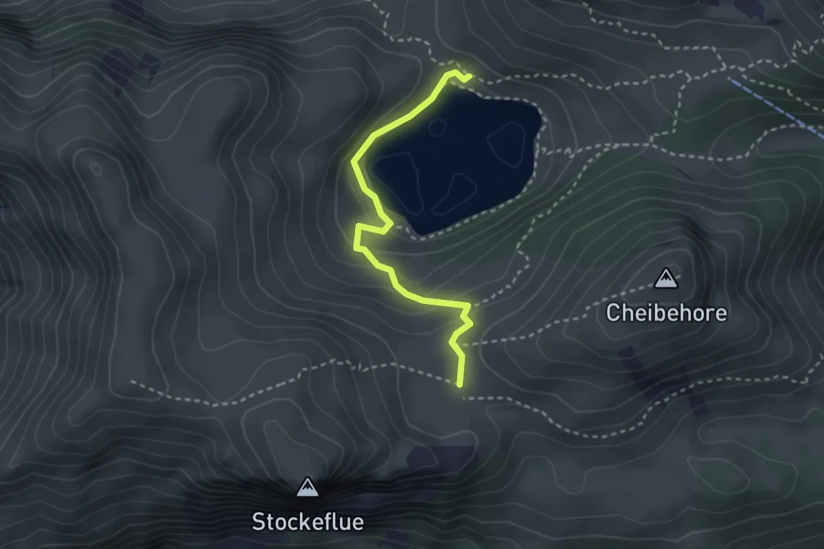
Easy · Trail
Vorderstockenalp – Walalp
2.7 km · ↑ 171 m · 1 h · 12 km away
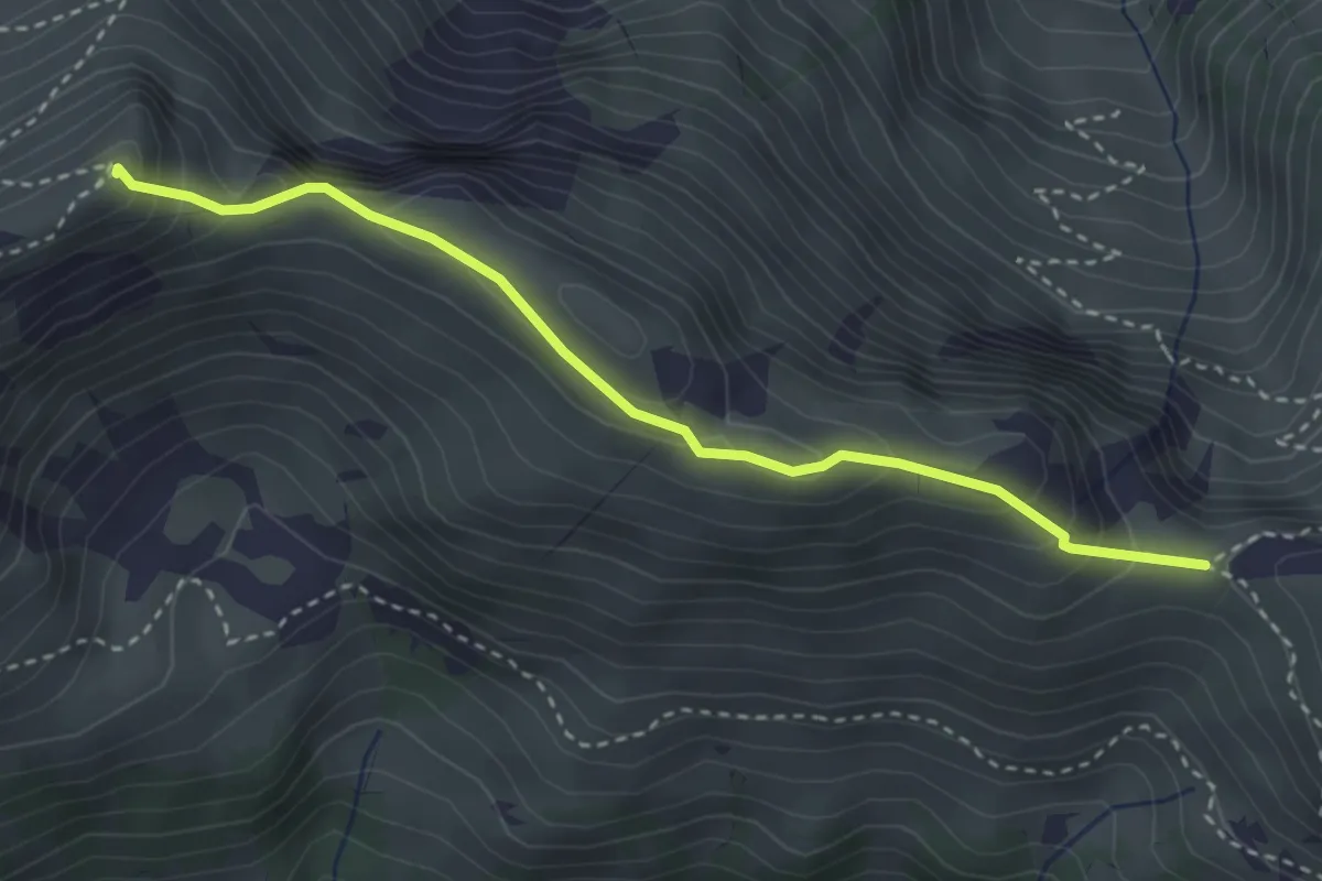
Medium · Summit
Walalpgrat – Möntschelespitz
3.3 km · ↑ 225 m · 1 h 16 min · 12 km away
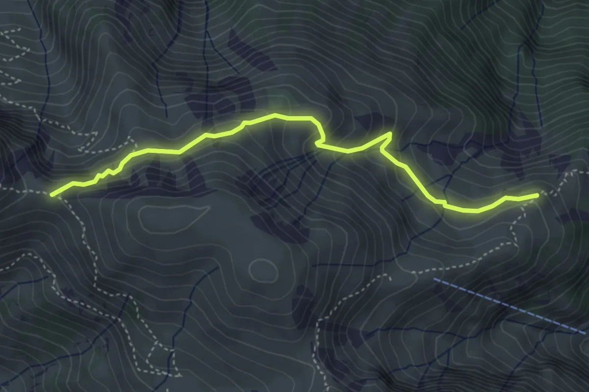
Medium · Trail
Vorderälpital – Walalpgrat
4.4 km · ↑ 287 m · 1 h 39 min · 12 km away
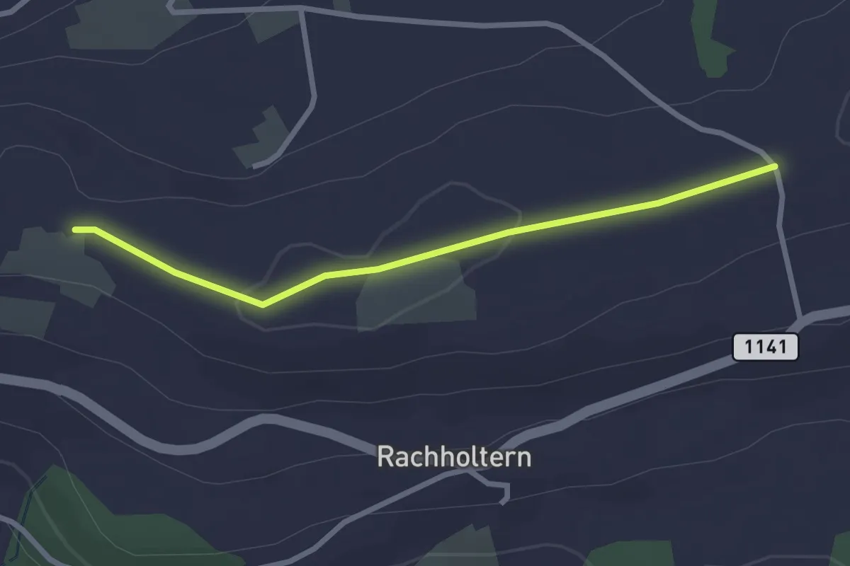
Easy · Trail
Chrüzweg – Lueghubel
2.5 km · ↑ 22 m · 39 min · 12 km away
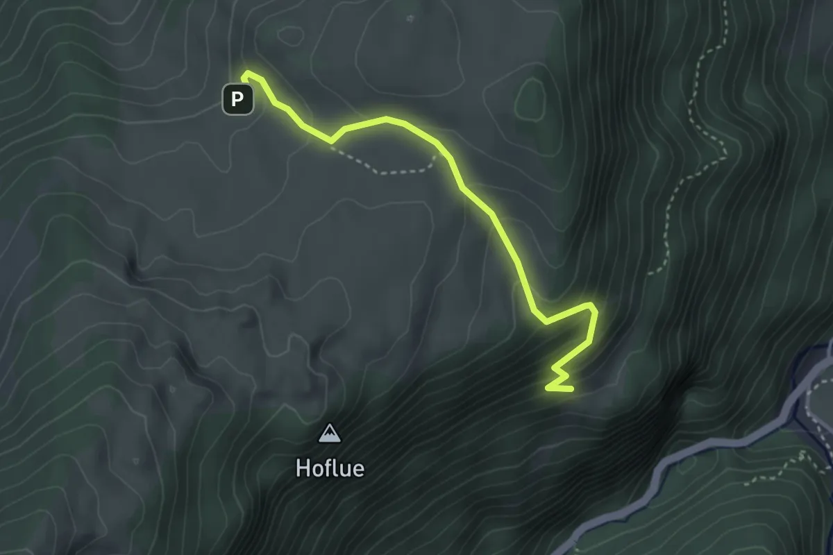
Medium · Trail
Tschugge – Chilchflue
3.4 km · ↑ 242 m · 1 h 20 min · 12 km away
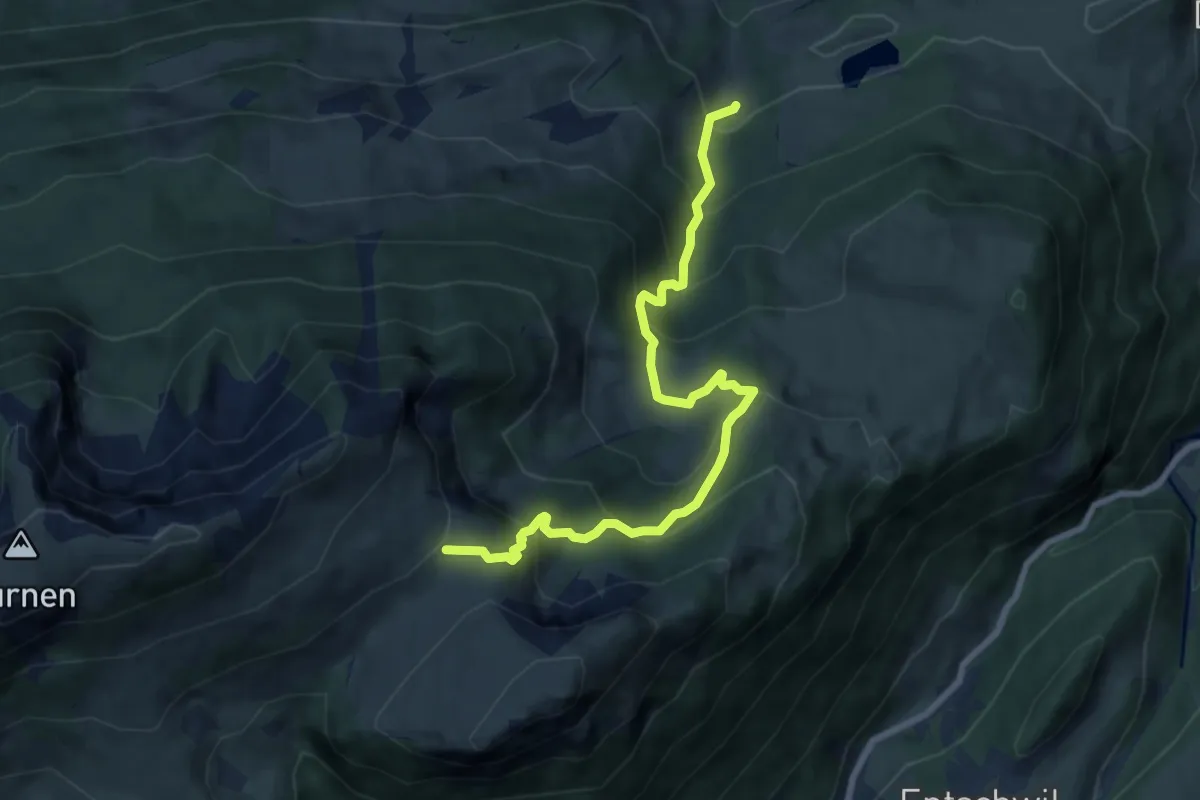
Medium · Cabin
Ägelsee – Rinderalp
8.5 km · ↑ 726 m · 3 h 35 min · 12 km away
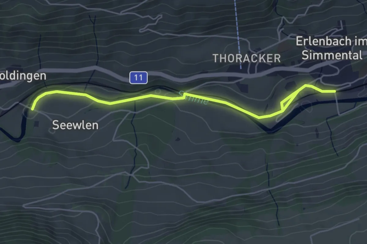
Easy · Trail
Seewlen – Erlenbach
5.3 km · ↑ 48 m · 1 h 21 min · 12 km away
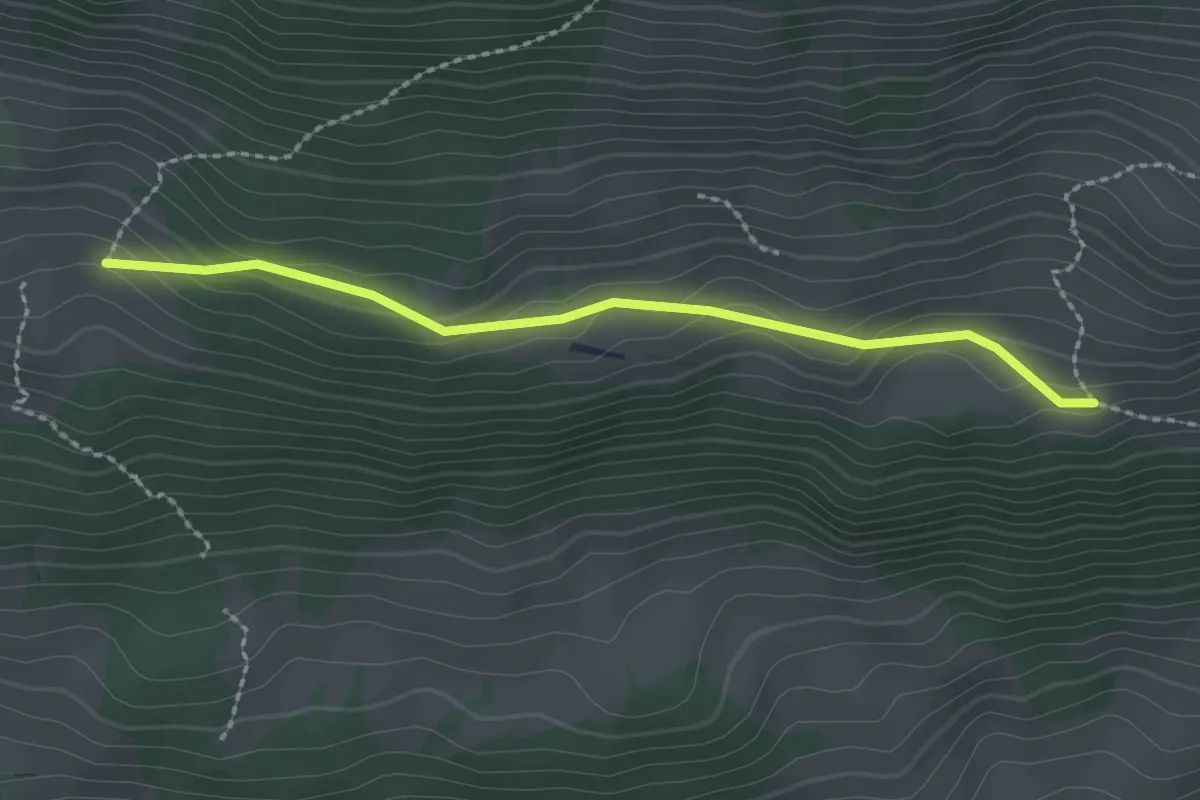
Easy · Trail
Schopf – Allmereweide
2.2 km · ↑ 95 m · 44 min · 12 km away
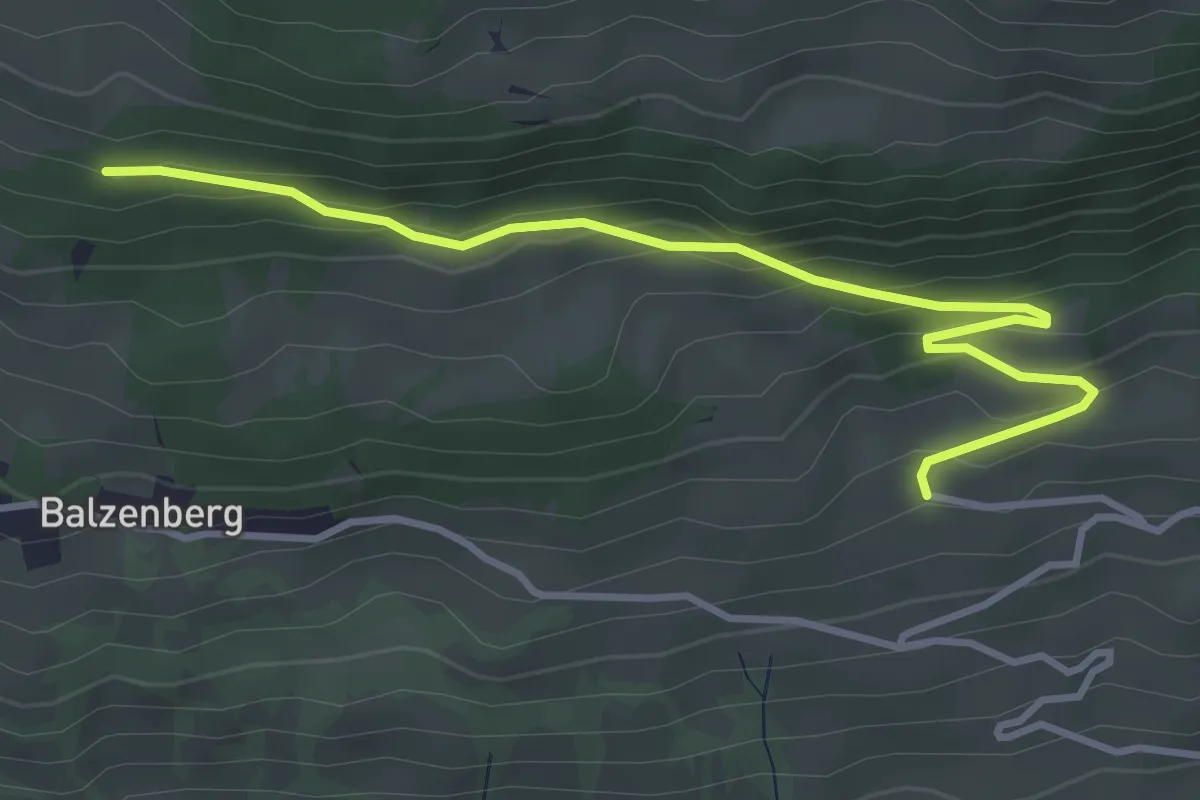
Easy · Trail
Obereschle – Schopf
4.0 km · ↑ 224 m · 1 h 25 min · 12 km away
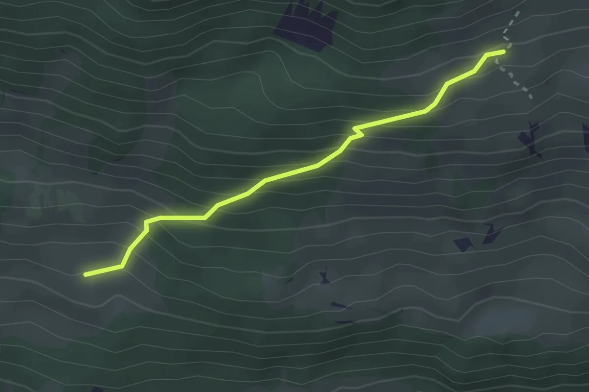
Easy · Trail
Schopf – Ufem Hus
2.5 km · ↑ 285 m · 1 h 12 min · 12 km away
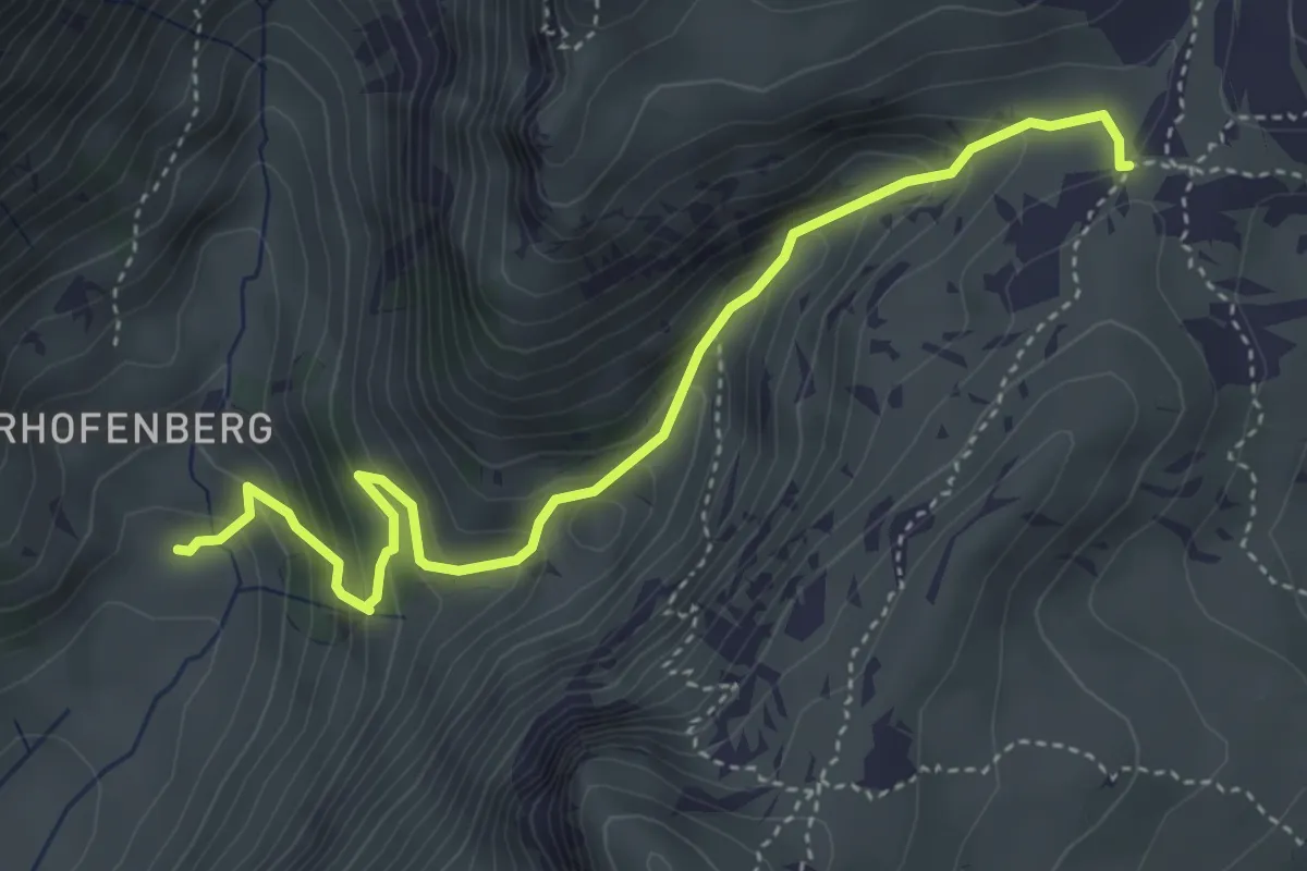
Medium · Trail
Seefeld / Oberberg – Hinterstberg
4.5 km · ↑ 455 m · 2 h 3 min · 12 km away
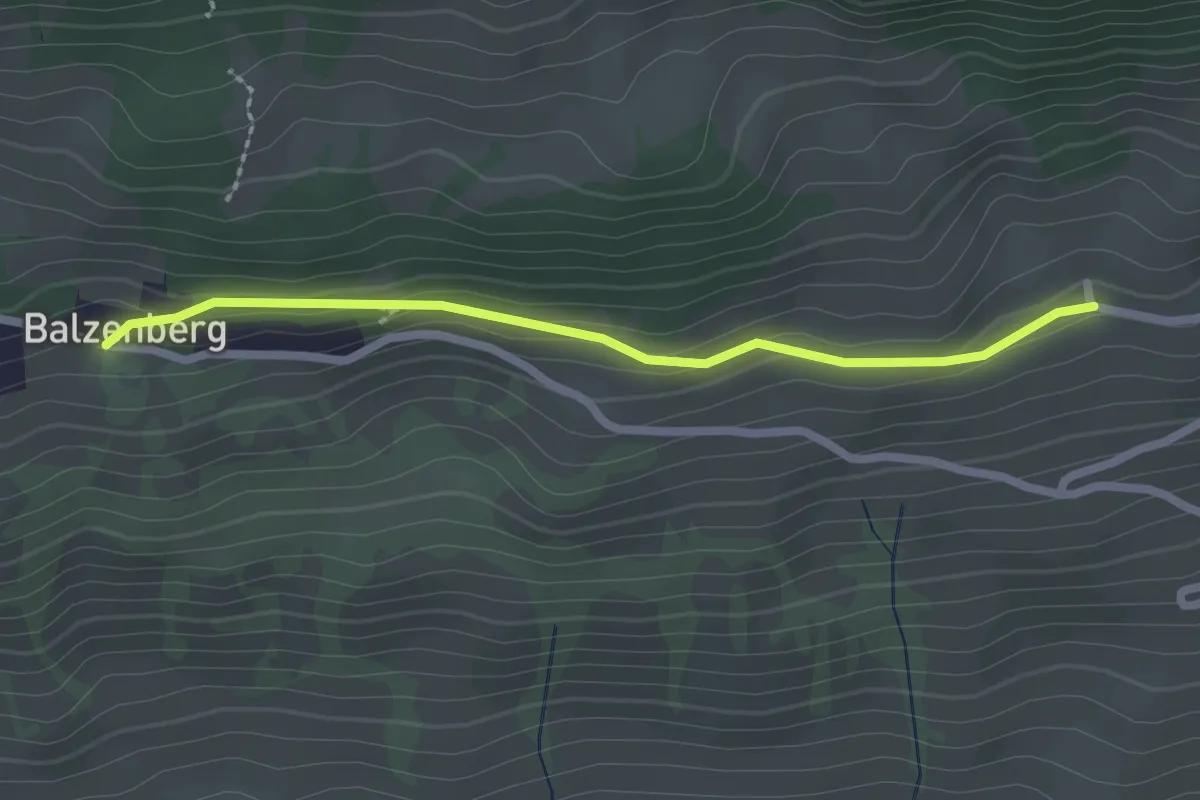
Easy · Trail
Obereschle – Balzeberg
2.2 km · ↑ 76 m · 41 min · 12 km away
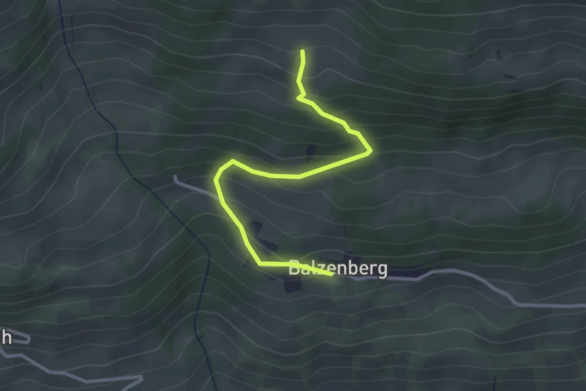
Easy · Trail
Balzeberg – Schopf
2.8 km · ↑ 236 m · 1 h 10 min · 12 km away
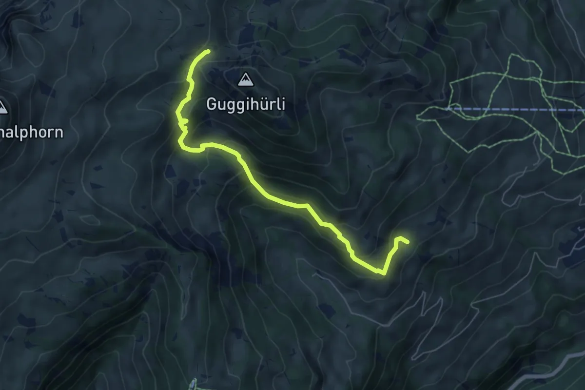
Medium · Trail
Bäreney – Hellbode
6.1 km · ↑ 478 m · 2 h 28 min · 12 km away
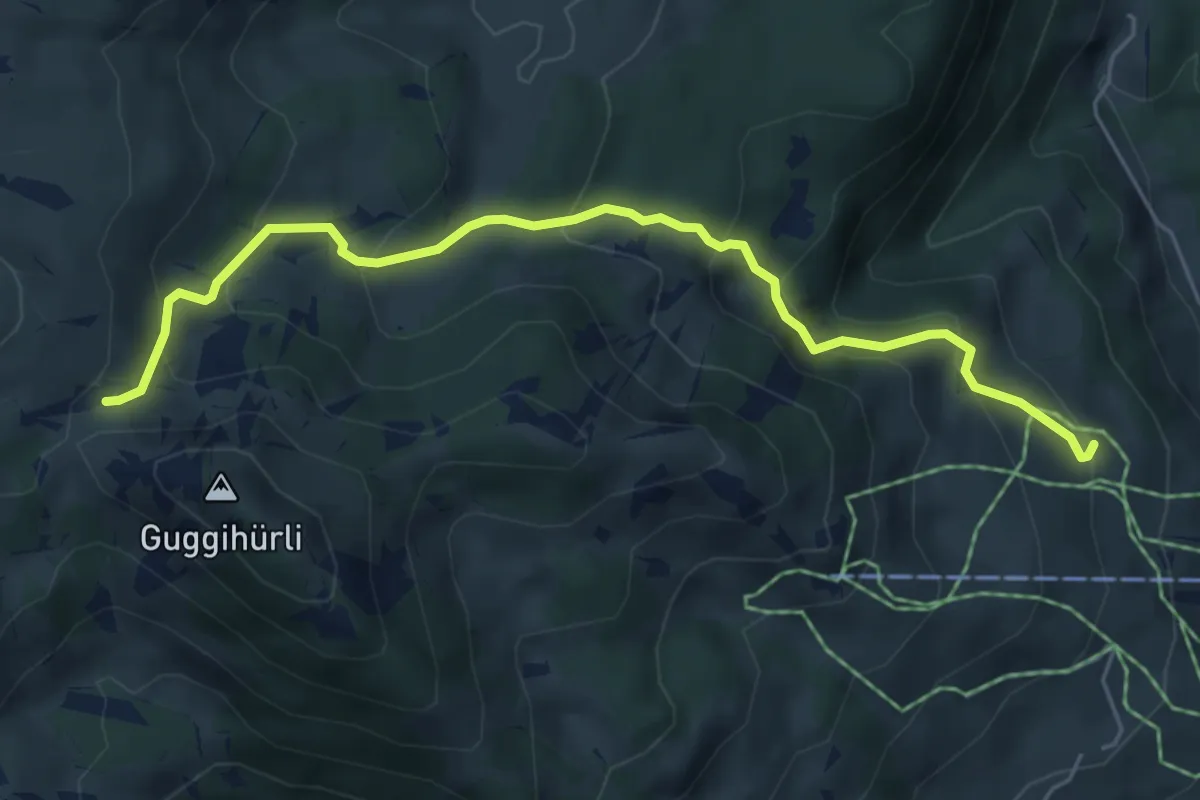
Medium · Cabin
Läger – Bäreney
5.8 km · ↑ 431 m · 2 h 18 min · 12 km away
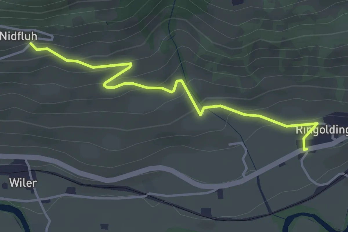
Easy · Trail
Nidflue – Ringoldingen
3.6 km · ↑ 183 m · 1 h 14 min · 12 km away
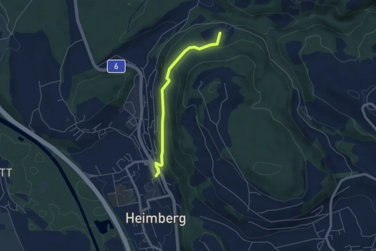
Easy · Trail
Heimberg – Spittelsheimberg
4.2 km · ↑ 211 m · 1 h 27 min · 12 km away
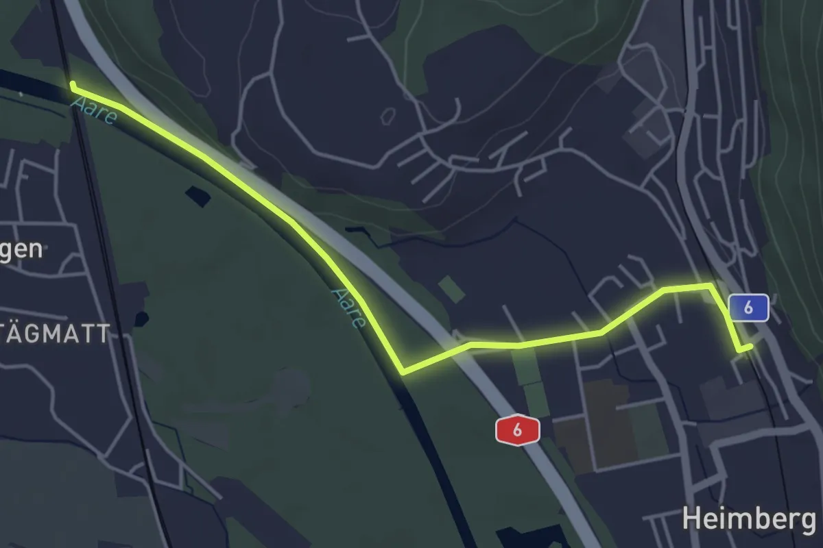
Easy · Trail
Heimberg – Uttigenbrücke
4.7 km · ↑ 0 m · 1 h 6 min · 12 km away
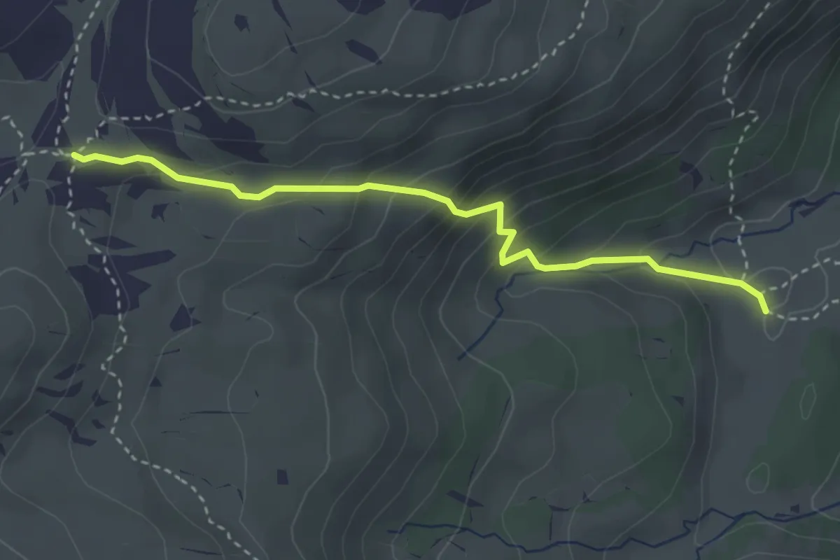
Medium · Trail
Oberberg – Chromatte
3.3 km · ↑ 263 m · 1 h 21 min · 12 km away
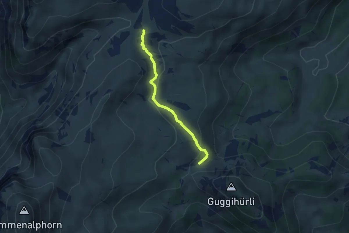
Medium · Trail
Oberberg – Bäreney
2.8 km · ↑ 117 m · 55 min · 12 km away
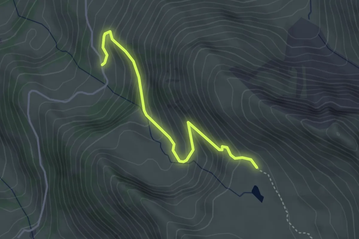
Medium · Trail
Ober Mechlistall - Horn
3.7 km · ↑ 355 m · 1 h 38 min · 12 km away
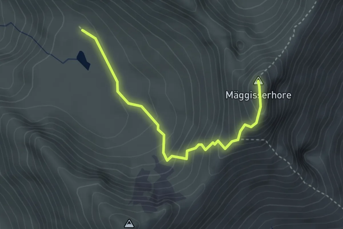
Medium · Summit
Ober Mechlistall - Mäggisserehohe
3.3 km · ↑ 294 m · 1 h 25 min · 12 km away
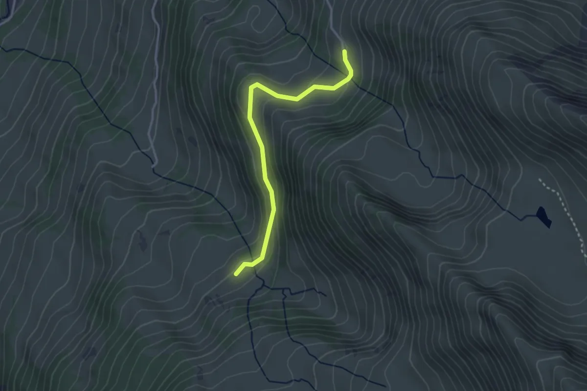
Easy · Trail
Under Meiefall – Horn
3.0 km · ↑ 118 m · 58 min · 12 km away
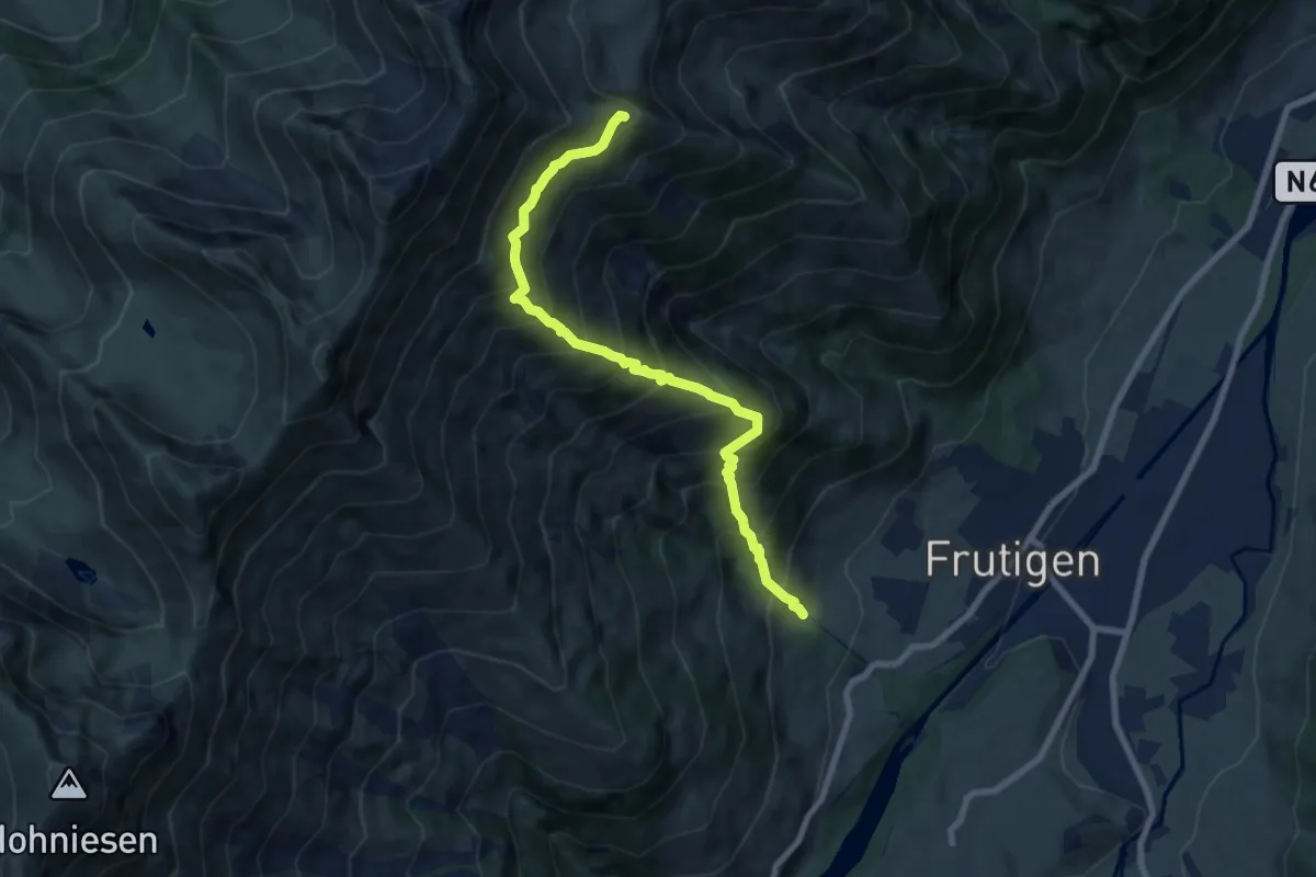
Demanding · Trail
Oberfeld – Gunggstand
8.0 km · ↑ 1093 m · 4 h 16 min · 12 km away
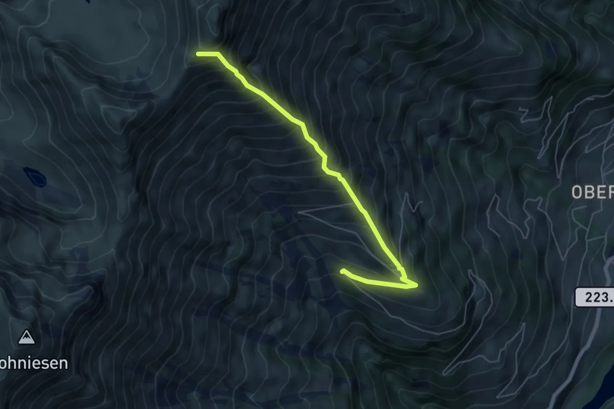
Demanding · Trail
Mäggisserhorn – Mäggissere
5.6 km · ↑ 818 m · 3 h 5 min · 12 km away
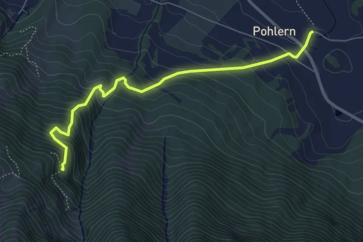
Medium · Trail
Pohlern – Möntschelewald
5.6 km · ↑ 520 m · 2 h 27 min · 12 km away