Trails near Spiez
411 hikes starting within 15 km, nearest first.
Nearest first, page 8 of 9
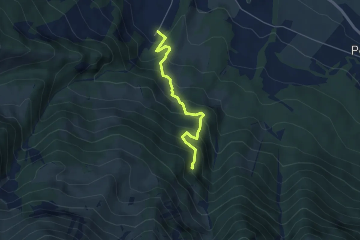
Medium · Trail
Möntschelewald – Blumenstein/Kirche
3.8 km · ↑ 448 m · 1 h 51 min · 12 km away
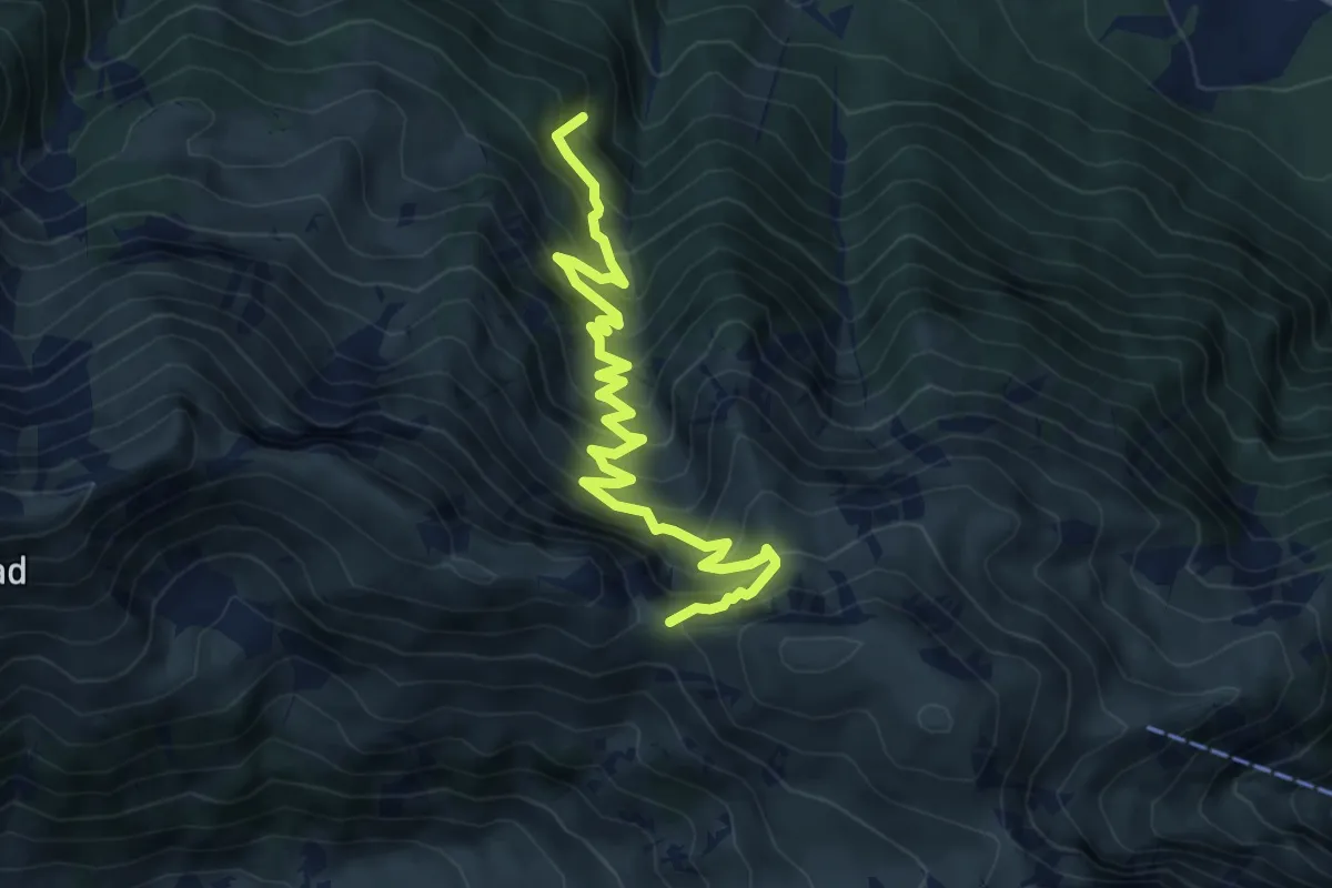
Medium · Trail
Walalpgrat – Möntschelewald
7.2 km · ↑ 704 m · 3 h 13 min · 12 km away
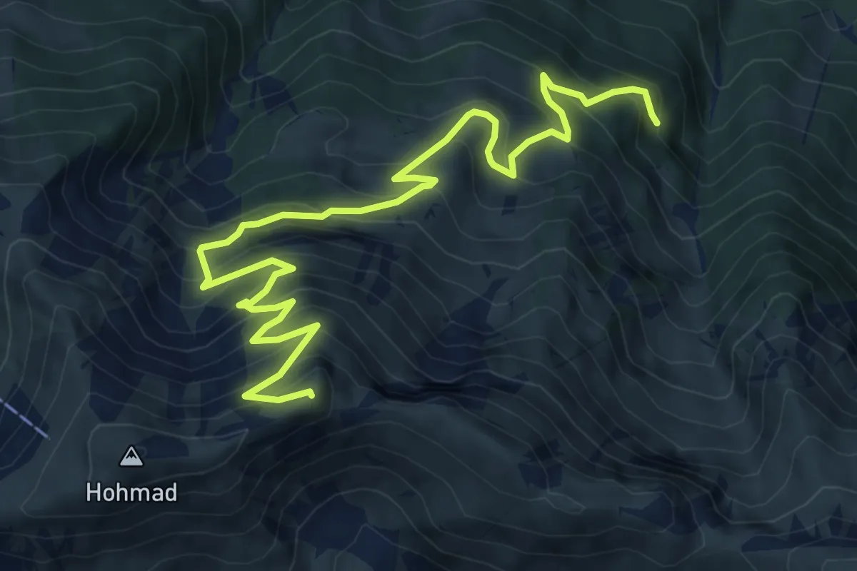
Demanding · Summit
Möntschelewald – Möntschelespitz
9.4 km · ↑ 918 m · 4 h 12 min · 12 km away
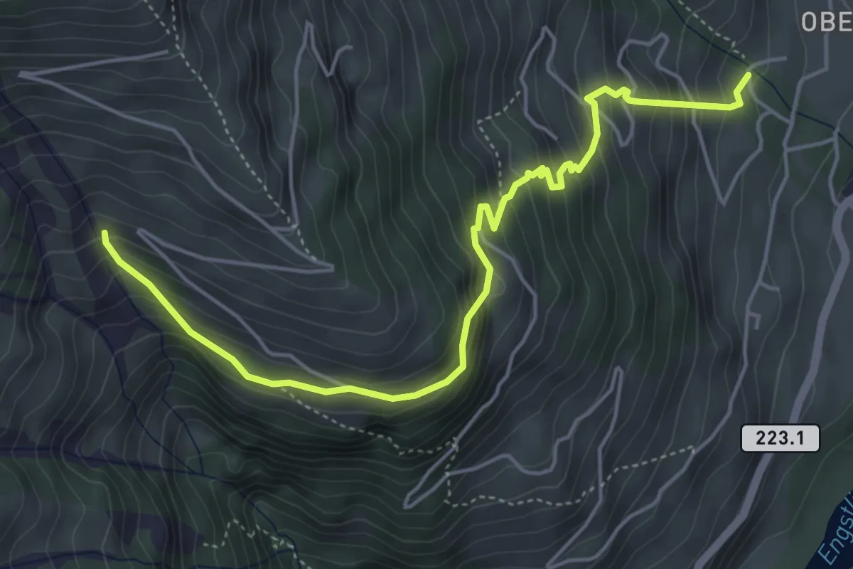
Medium · Trail
Oberfeld – Mäggissere
5.5 km · ↑ 507 m · 2 h 24 min · 12 km away
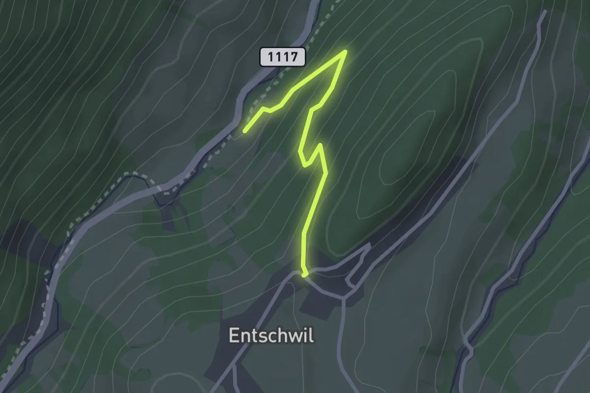
Easy · Trail
Studweid – Entschwil
2.2 km · ↑ 169 m · 53 min · 13 km away
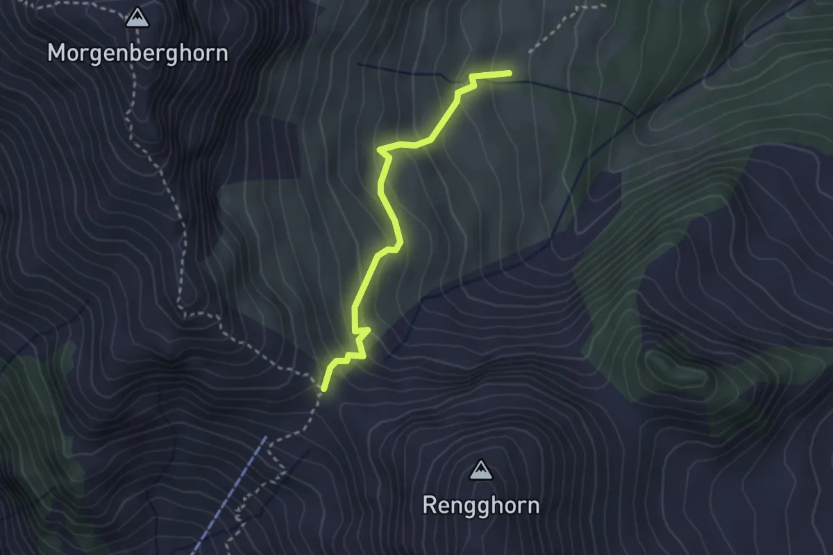
Medium · Trail
Rennglipass – Mittelberg
2.6 km · ↑ 253 m · 1 h 9 min · 13 km away
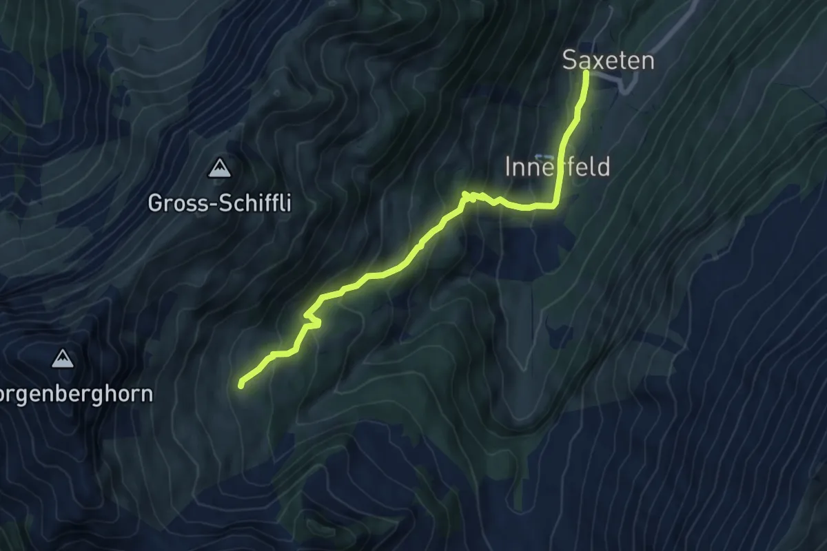
Medium · Trail
Innenberg – Saxeten
6.4 km · ↑ 516 m · 2 h 38 min · 13 km away
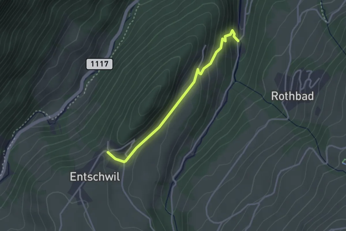
Easy · Trail
Entschwil – Cheerewald
2.8 km · ↑ 160 m · 1 h 1 min · 13 km away
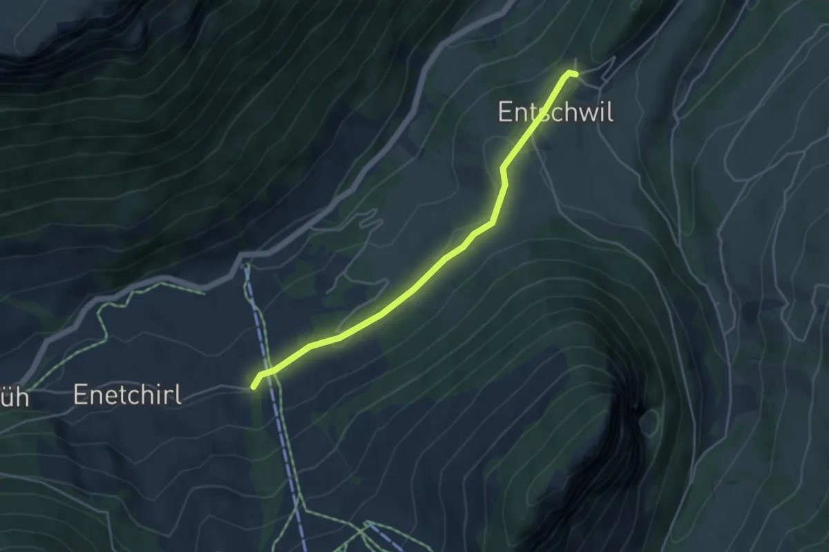
Easy · Trail
Entschwil – Allmiried
4.0 km · ↑ 96 m · 1 h 9 min · 13 km away
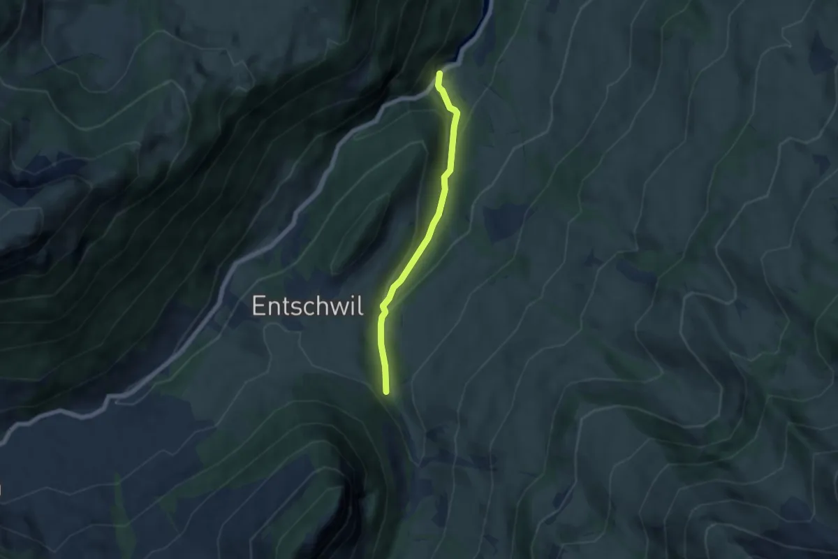
Easy · Trail
Horboden – Underberg
4.7 km · ↑ 237 m · 1 h 37 min · 13 km away
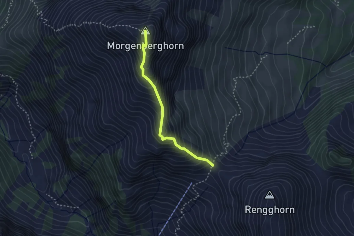
Demanding · Summit
Morgenberghorn – Rennglipass
2.7 km · ↑ 324 m · 1 h 20 min · 13 km away
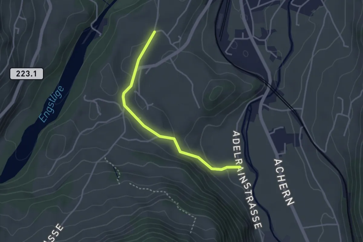
Easy · Trail
Bühlen - Adelrain
3.0 km · ↑ 79 m · 53 min · 13 km away
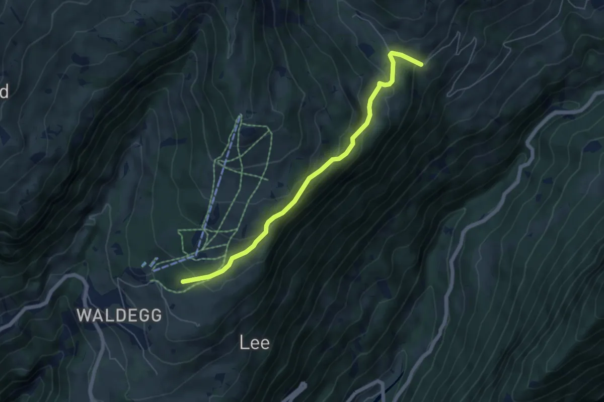
Easy · Trail
Büelbach – Spycherwald
5.4 km · ↑ 275 m · 1 h 53 min · 13 km away
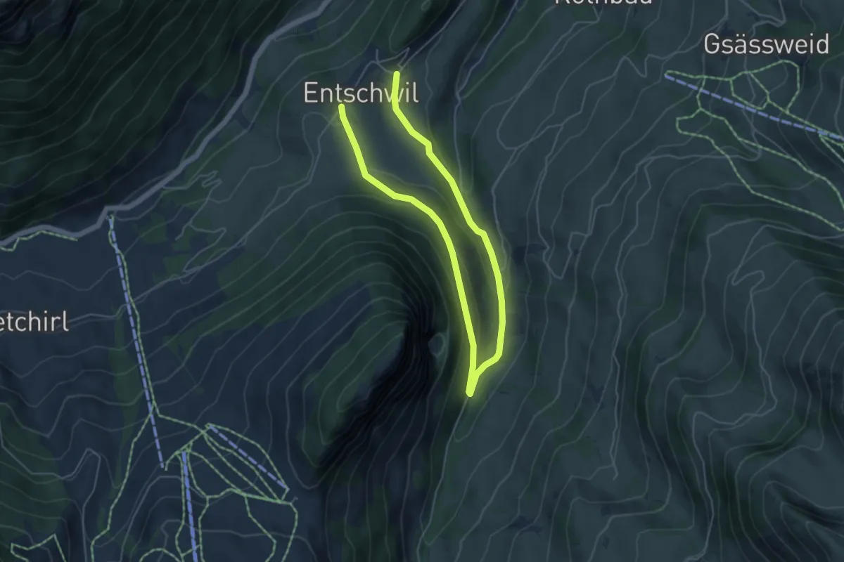
Easy · Trail
Entschwil – Entschwil
7.4 km · ↑ 209 m · 2 h 12 min · 13 km away
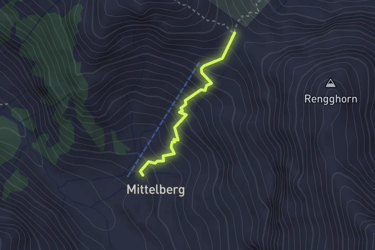
Medium · Trail
Rengglipass – Mittelbrg
2.0 km · ↑ 287 m · 1 h 5 min · 13 km away
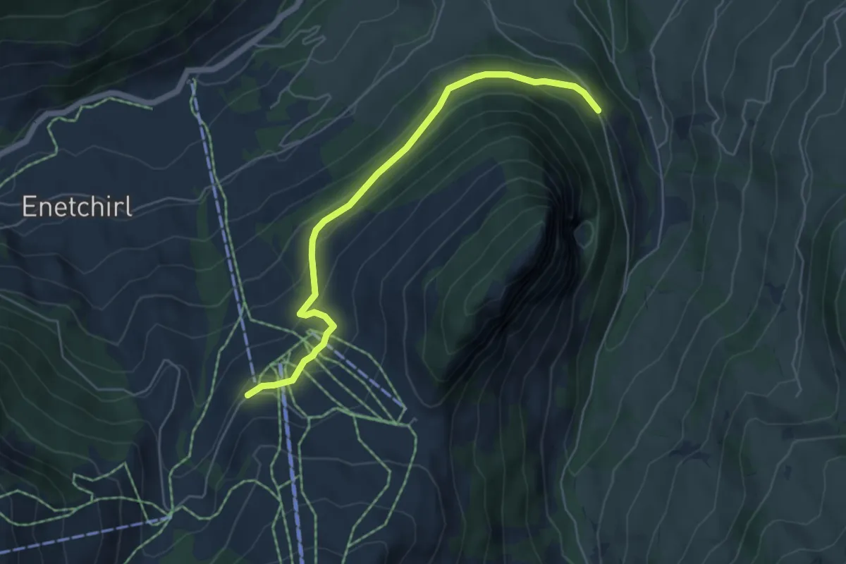
Easy · Trail
Nüegg – Underberg
5.3 km · ↑ 261 m · 1 h 49 min · 13 km away
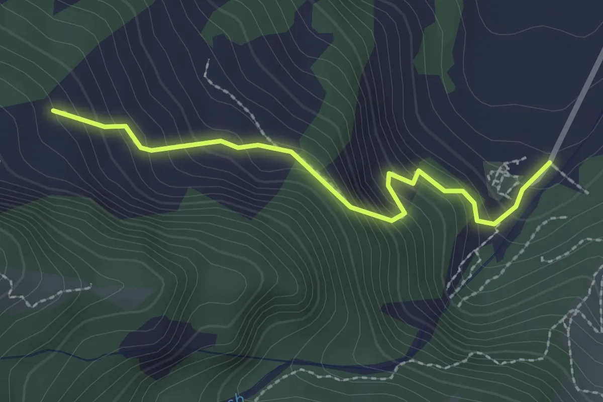
Easy · Trail
Blumenstein/Kirche – Breitebode
2.2 km · ↑ 229 m · 1 h 1 min · 13 km away
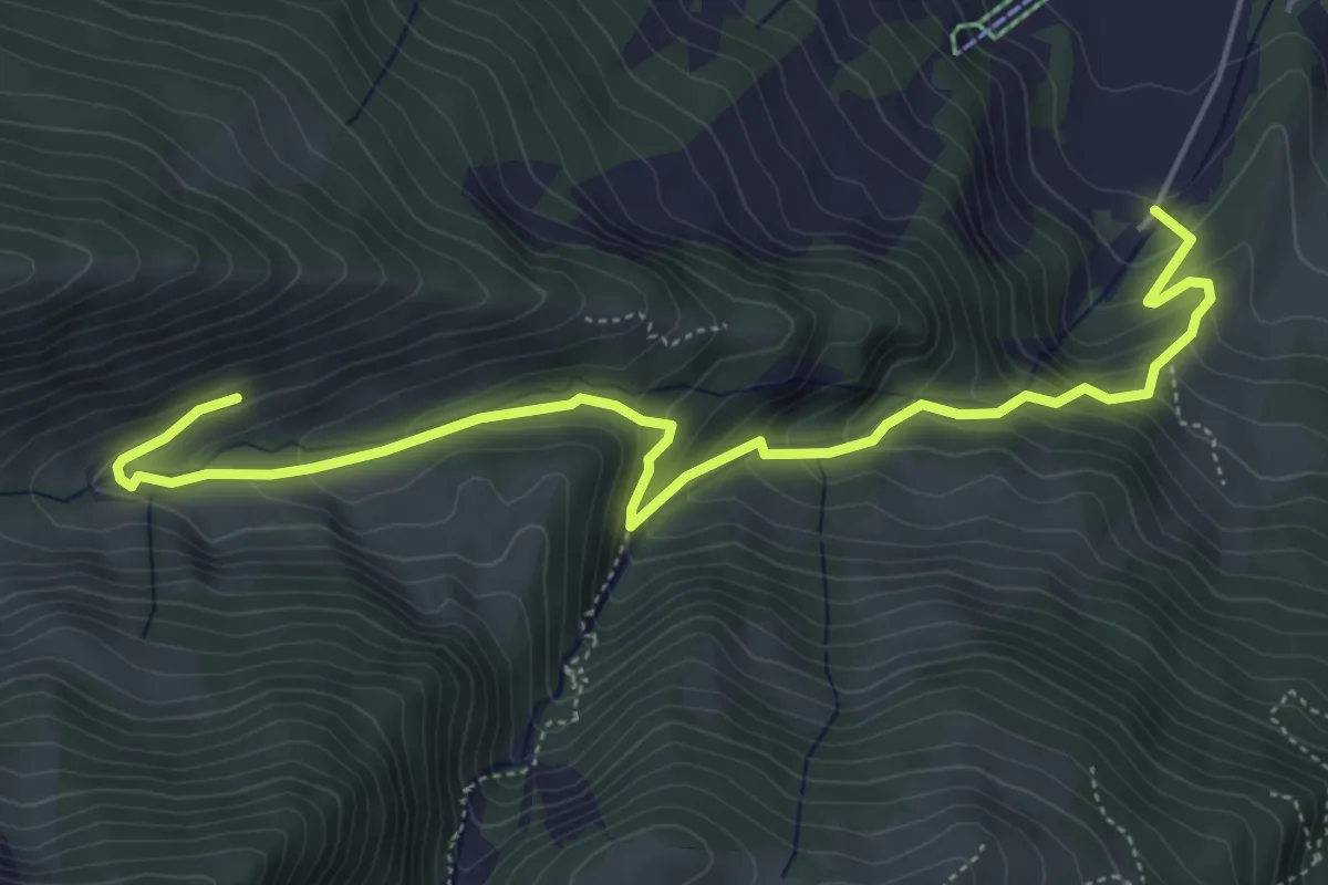
Medium · Trail
Alp Langenegg – Blumenstein/Kirche
6.2 km · ↑ 467 m · 2 h 28 min · 13 km away
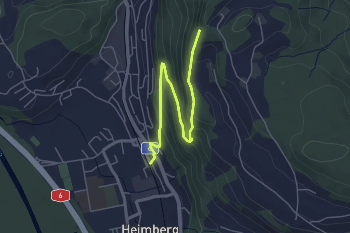
Easy · Trail
Heimberg – Heimbergflue
4.5 km · ↑ 224 m · 1 h 33 min · 13 km away
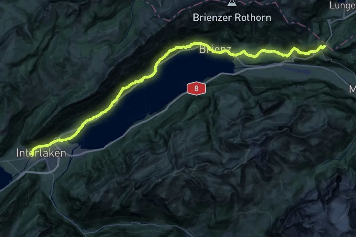
Demanding · Trail
ViaJacobi
29.3 km · ↑ 1433 m · 10 h 12 min · 13 km away
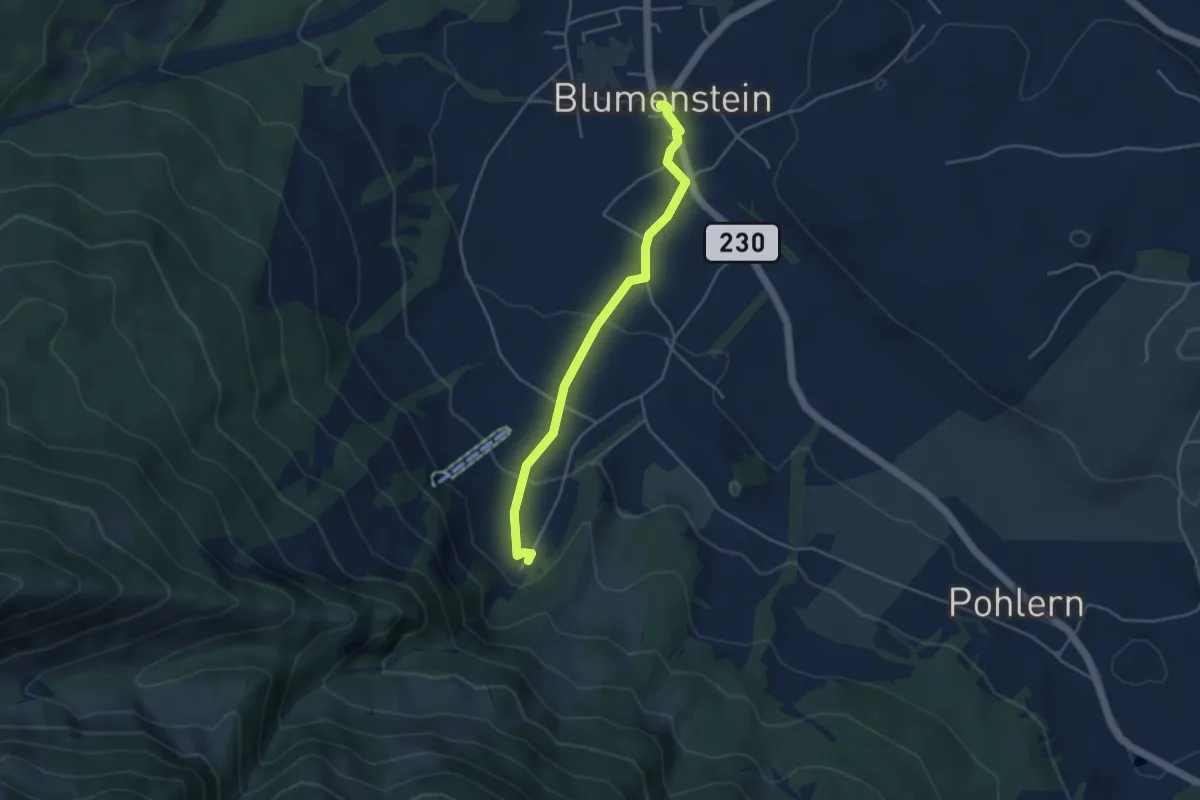
Easy · Trail
Blumenstein/Kirche – Blumenstein
4.1 km · ↑ 129 m · 1 h 15 min · 13 km away
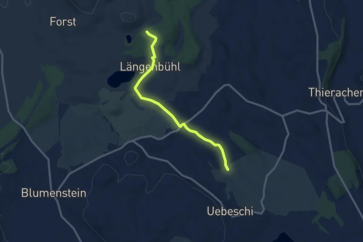
Easy · Trail
Beim Wald - NN Wegweiser
5.9 km · ↑ 53 m · 1 h 31 min · 13 km away
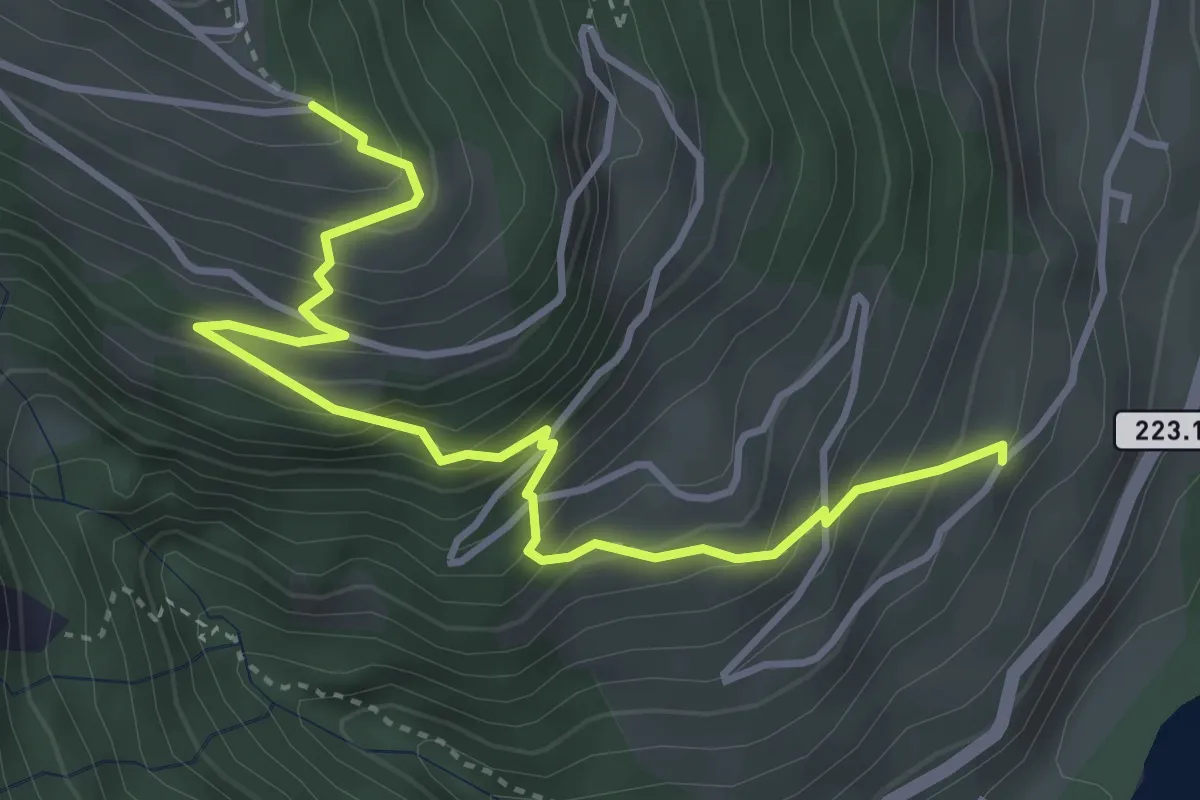
Medium · Trail
Prasten – Eggweid
4.3 km · ↑ 471 m · 2 h 3 min · 13 km away
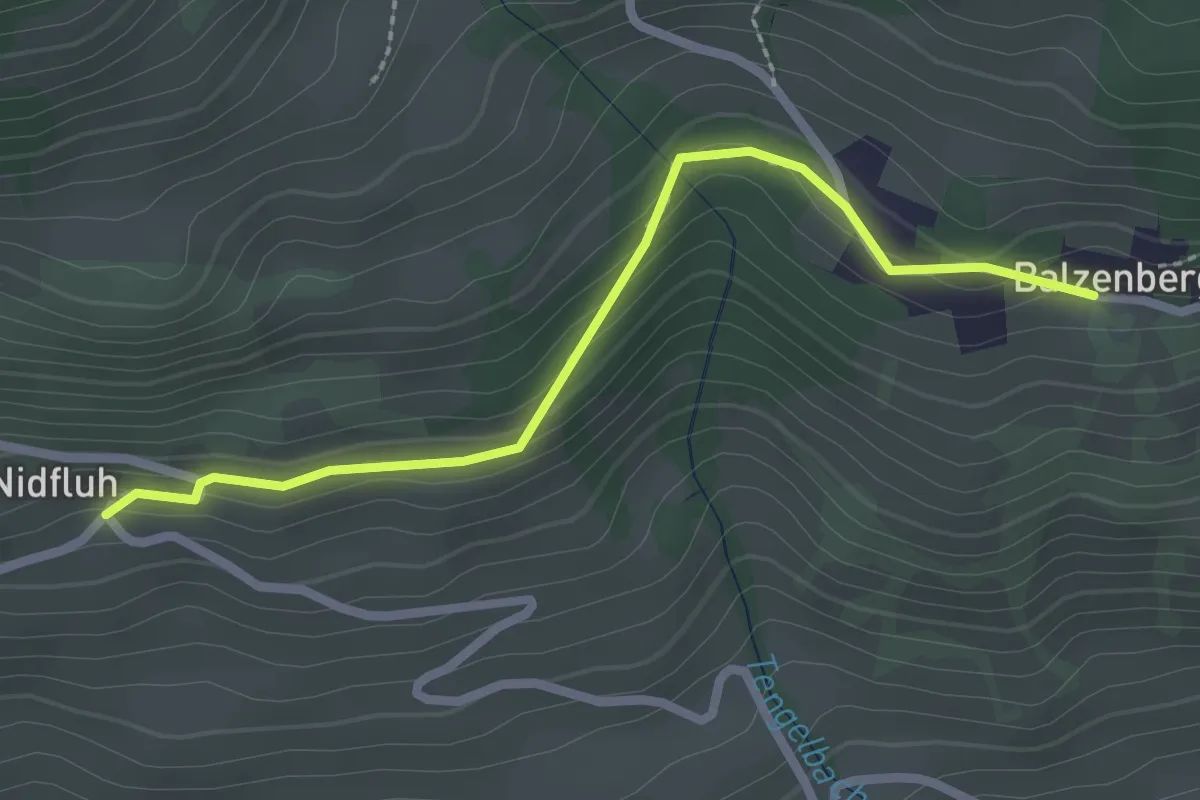
Easy · Trail
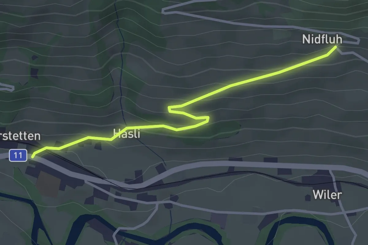
Balzeberg – Nidflue
2.4 km · ↑ 100 m · 47 min · 13 km away
Easy · Trail
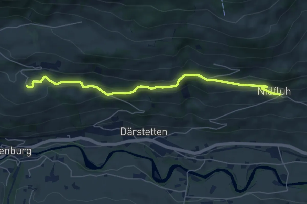
Nidflue – Därstetten
3.2 km · ↑ 165 m · 1 h 7 min · 13 km away
Easy · Trail
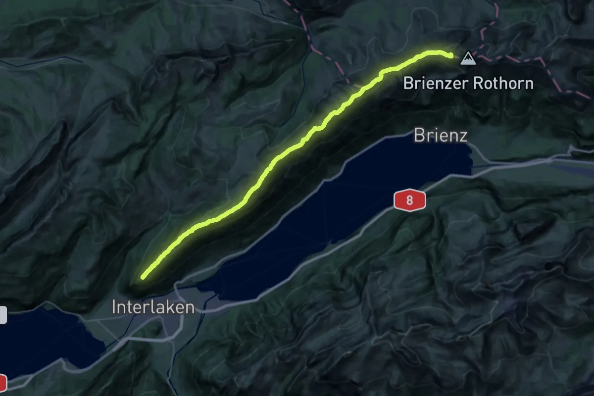
Weissenburgberg – Nidflue
5.4 km · ↑ 292 m · 1 h 54 min · 13 km away
Expert · Summit
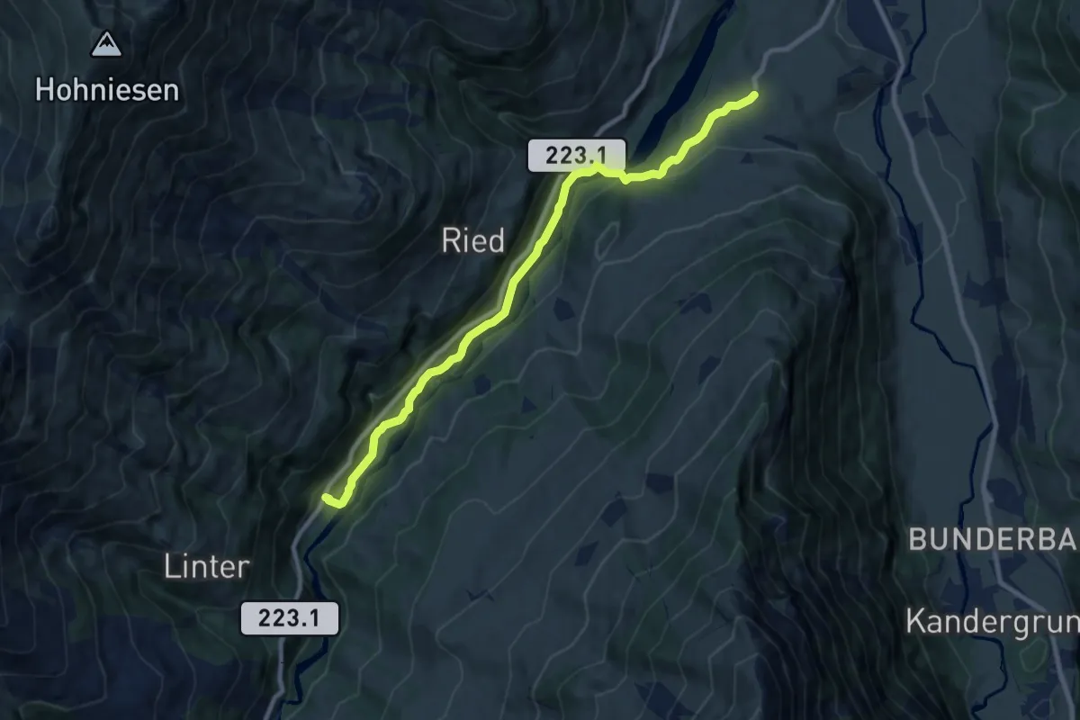
Brienzergratweg
38.2 km · ↑ 2887 m · 15 h 16 min · 13 km away
Medium · Trail
Reinisch - Rohrbach
9.1 km · ↑ 243 m · 2 h 40 min · 13 km away
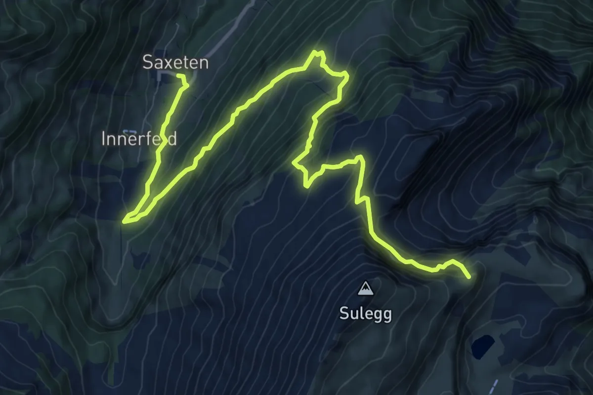
Demanding · Summit
ViaBerna Etappe 13
14.1 km · ↑ 1347 m · 6 h 15 min · 13 km away
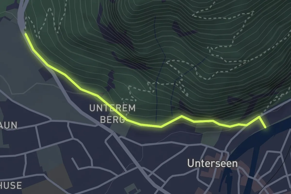
Easy · Trail
Golden Promenade - St. Niklausen
2.9 km · ↑ 97 m · 54 min · 13 km away
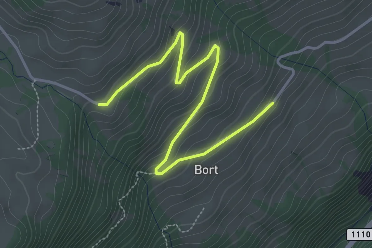
Easy · Trail
Büelbach – Bort
3.4 km · ↑ 167 m · 1 h 10 min · 13 km away
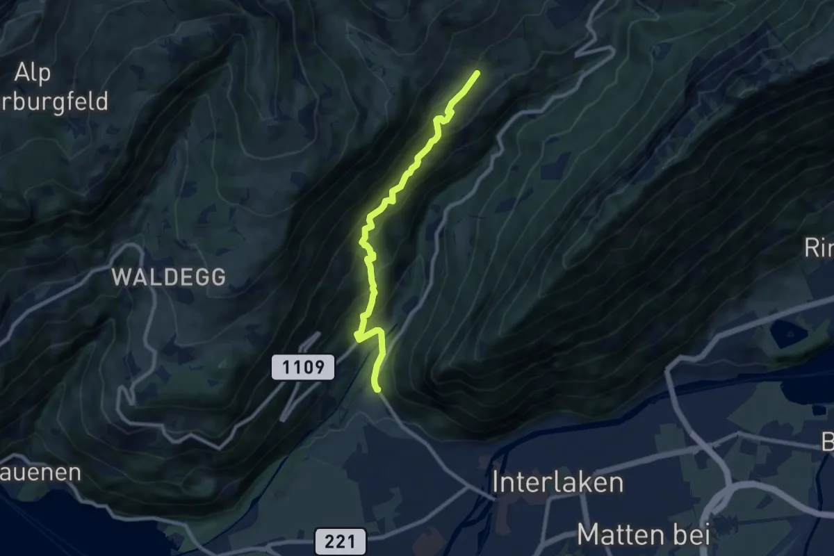
Medium · Trail
Bort – St. Niklausan
7.9 km · ↑ 603 m · 3 h 11 min · 13 km away
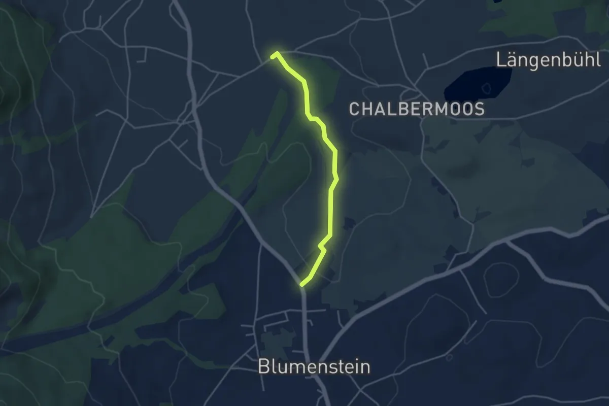
Easy · Trail
Blumenstein/Bad – Längmoos
3.3 km · ↑ 31 m · 50 min · 13 km away
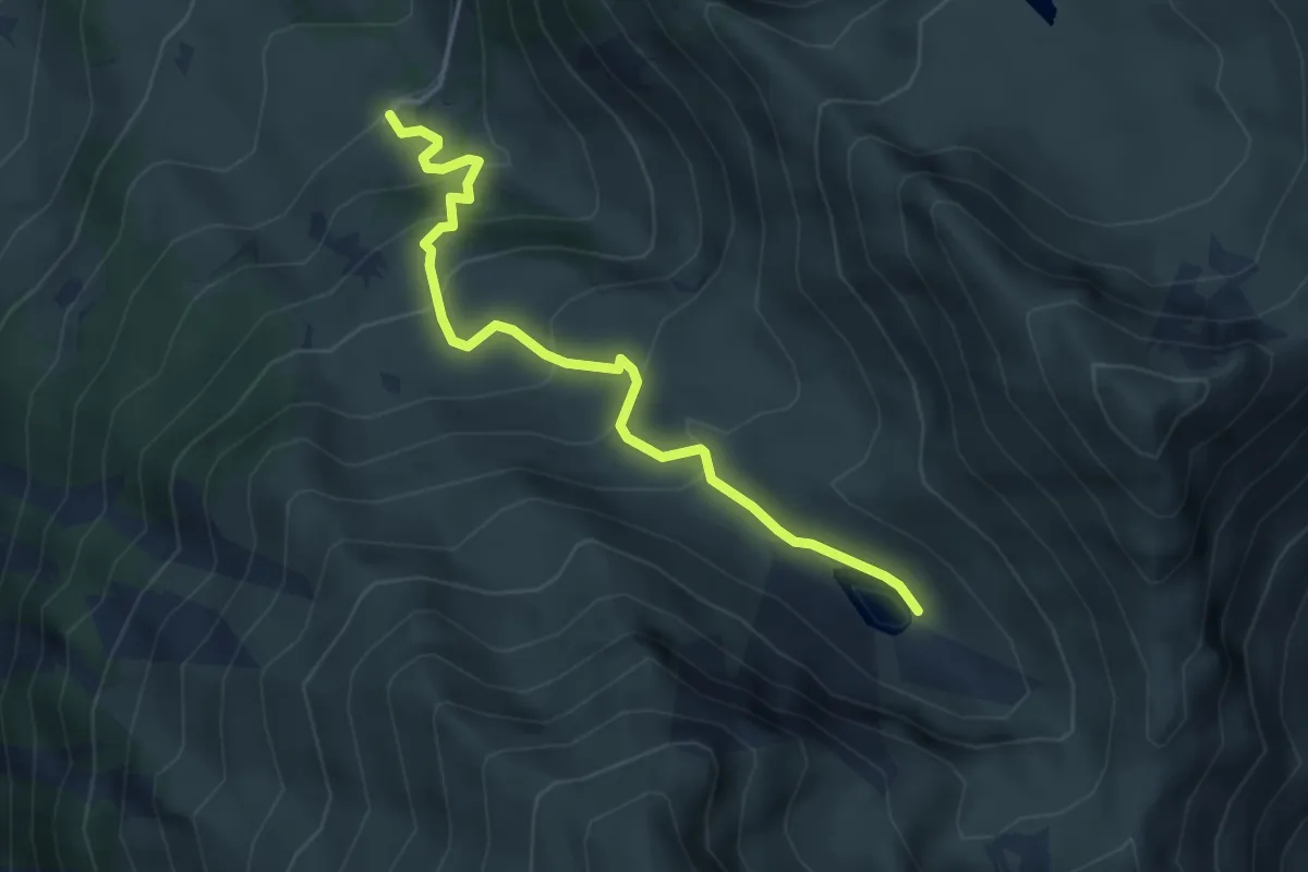
Easy · Trail
Undermeiefall – Meiefallseeli
4.1 km · ↑ 312 m · 1 h 39 min · 13 km away
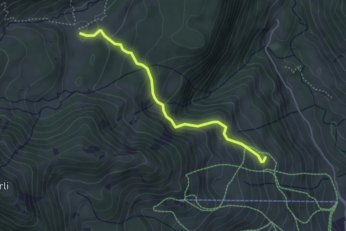
Medium · Cabin
Läger – Chromatte
3.8 km · ↑ 227 m · 1 h 23 min · 13 km away
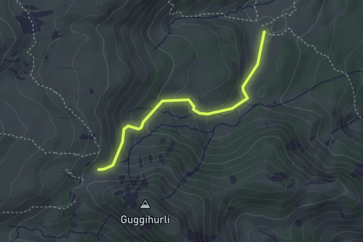
Easy · Trail
Bäreney – Chromatte
3.1 km · ↑ 200 m · 1 h 10 min · 13 km away
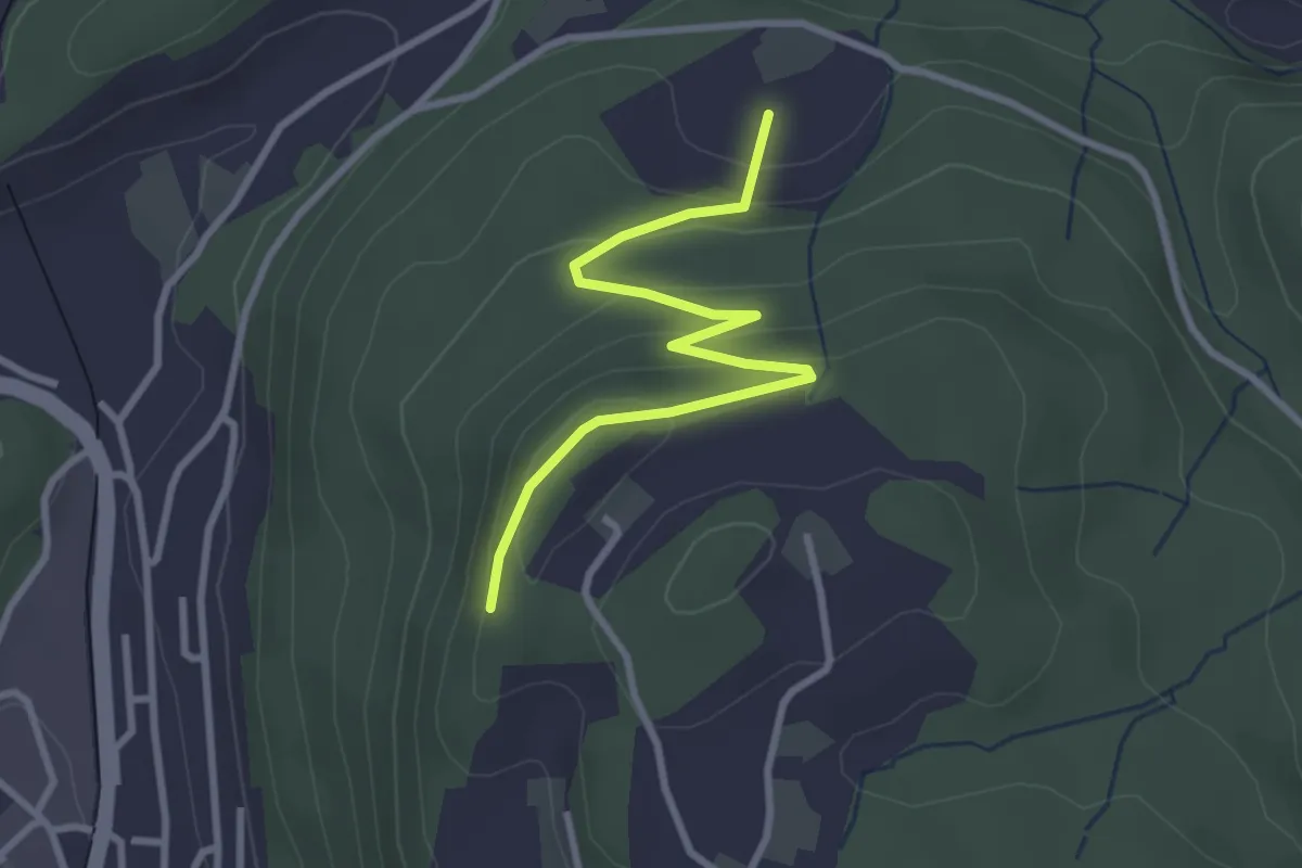
Easy · Trail
Heimbergflue – Spittelsheimberg
3.0 km · ↑ 143 m · 1 h 2 min · 13 km away
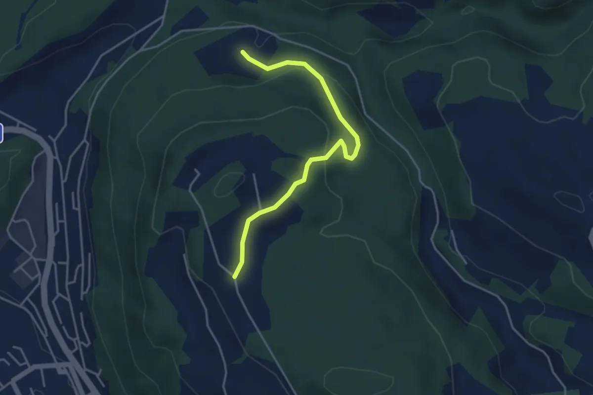
Easy · Trail
Oberi Riedere – Spittelsheimberg
3.6 km · ↑ 136 m · 1 h 8 min · 13 km away
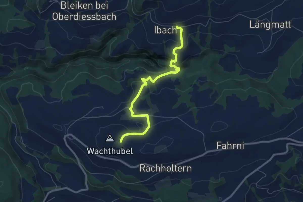
Easy · Trail
Lueghubel – Ibach
6.6 km · ↑ 291 m · 2 h 11 min · 14 km away
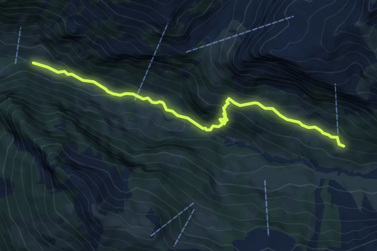
Medium · Trail
Gruenerli - Spiggergrund
7.5 km · ↑ 517 m · 2 h 54 min · 14 km away
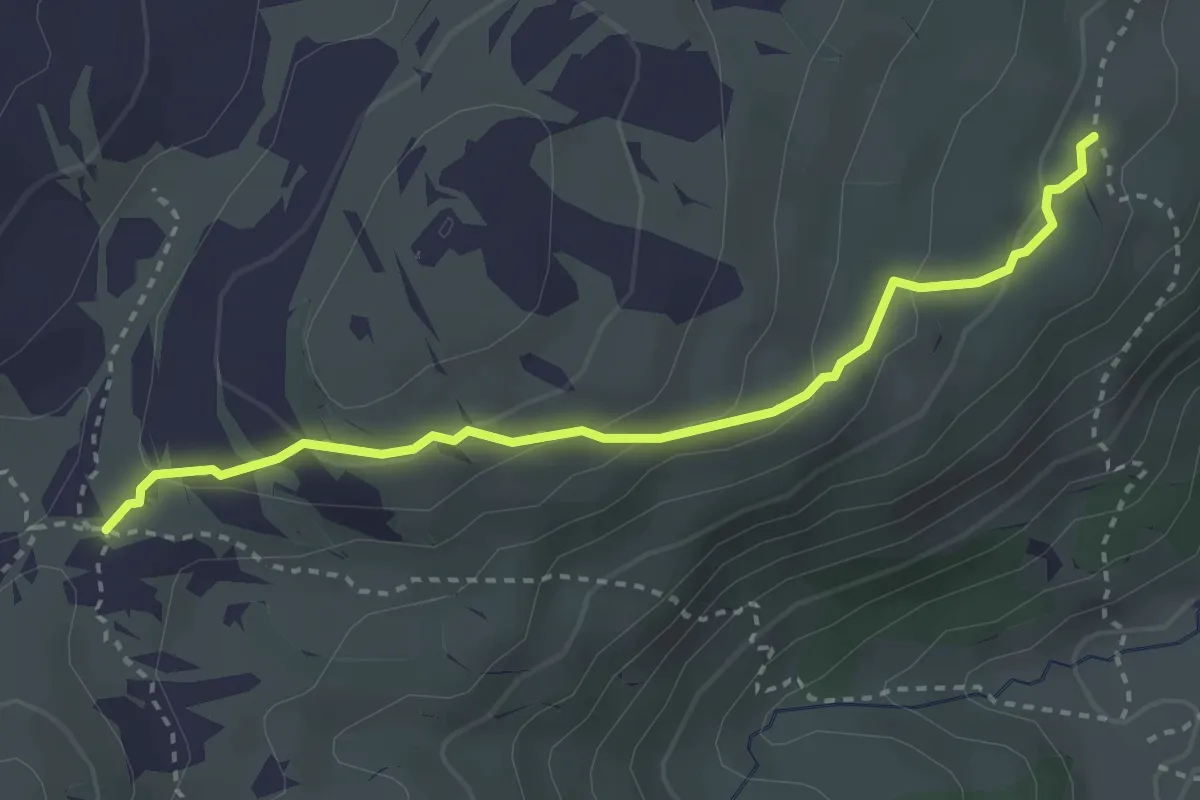
Medium · Trail
Oberberg – Vorderes Seefeld
3.2 km · ↑ 142 m · 1 h 4 min · 14 km away
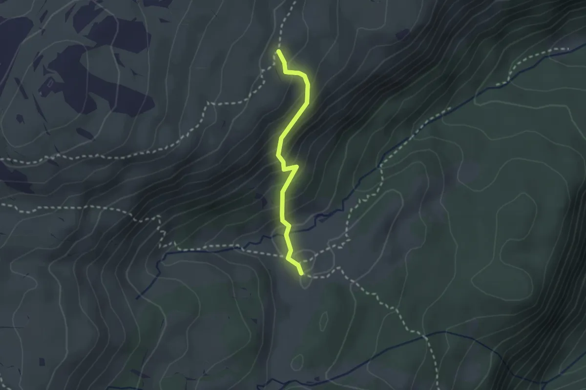
Medium · Trail
Vorderes Seefeld – Chromatte
2.1 km · ↑ 191 m · 54 min · 14 km away
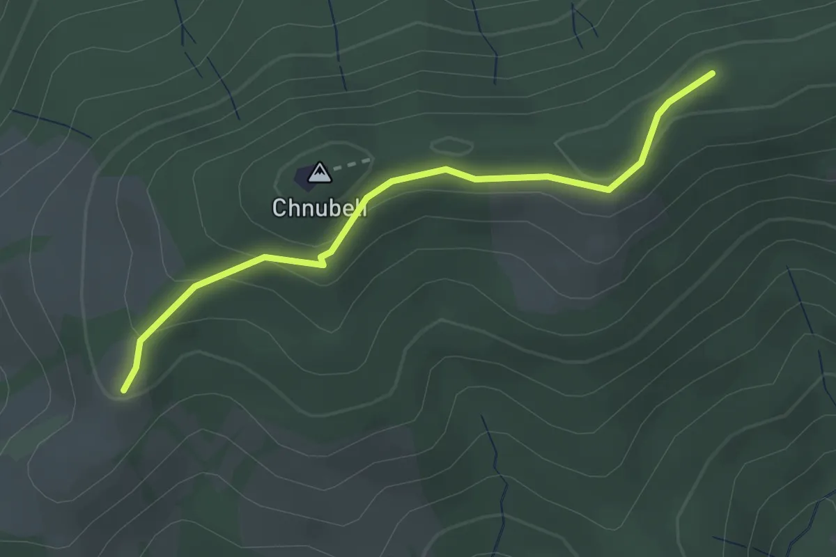
Easy · Summit
Fallenstutz – Chnubelegg
2.5 km · ↑ 133 m · 53 min · 14 km away
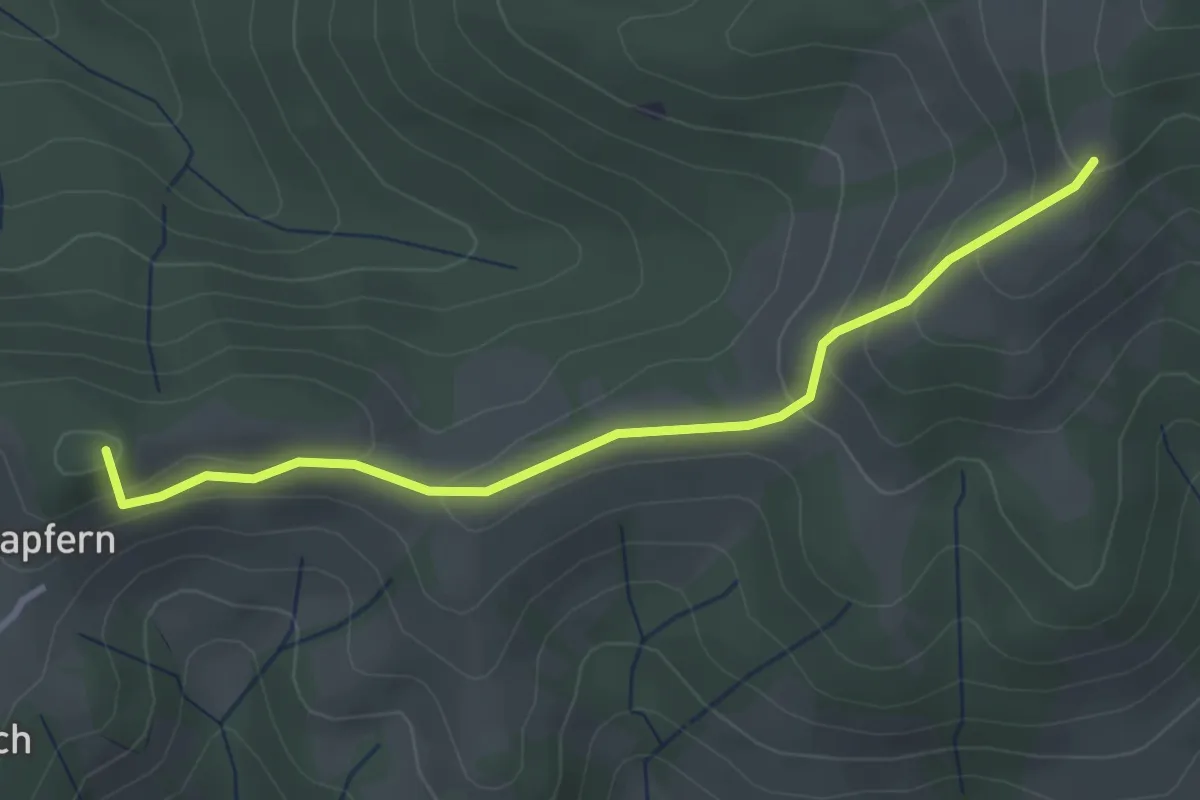
Easy · Summit
Fallenstutz – Kürze
3.2 km · ↑ 143 m · 1 h 4 min · 14 km away
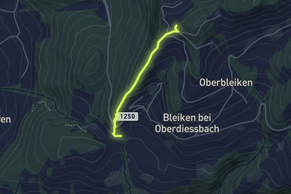
Easy · Trail
Niederbleiken – Falkeflue
2.7 km · ↑ 239 m · 1 h 9 min · 14 km away
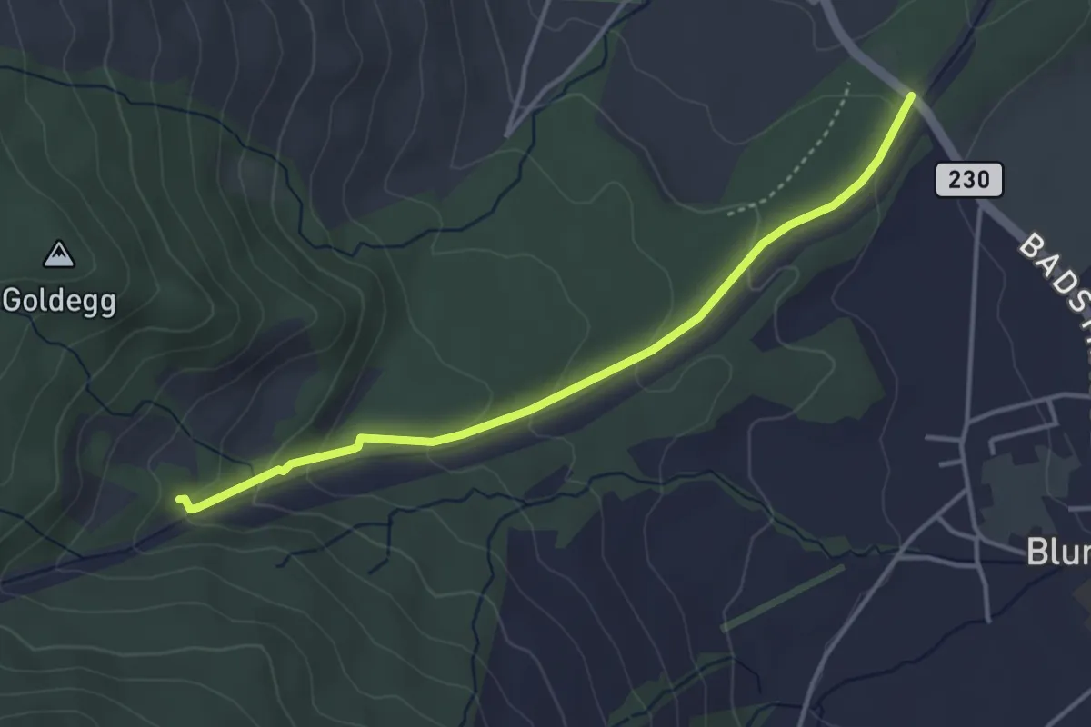
Easy · Trail
Blumensteibrügg
3.8 km · ↑ 160 m · 1 h 15 min · 14 km away
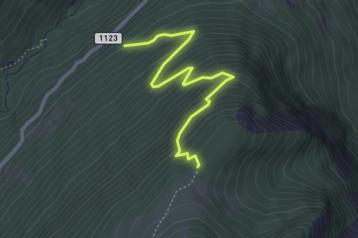
Medium · Trail
Saxetwald - Schwarzhore
4.1 km · ↑ 502 m · 2 h 4 min · 14 km away
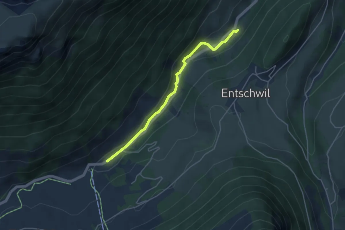
Easy · Trail
Studweid – Riedli
3.5 km · ↑ 75 m · 59 min · 14 km away