Trails near Spiez
411 hikes starting within 15 km, nearest first.
Nearest first, page 9 of 9
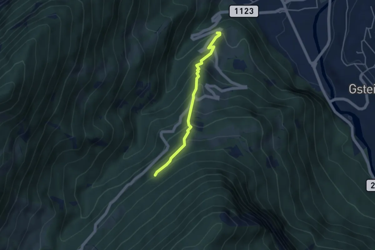
Medium · Trail
Ried - Saxetwald
3.2 km · ↑ 350 m · 1 h 31 min · 14 km away
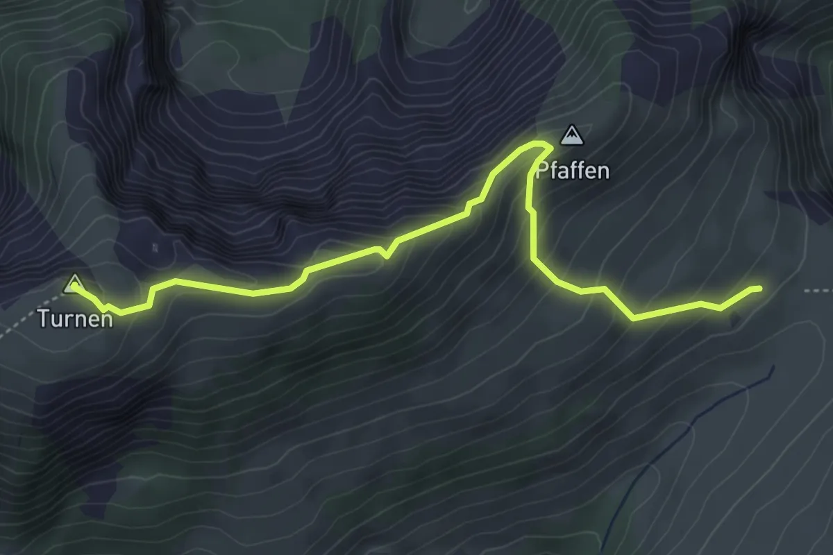
Medium · Summit
Hintertärfeten – Rinderalp
4.9 km · ↑ 334 m · 1 h 53 min · 14 km away
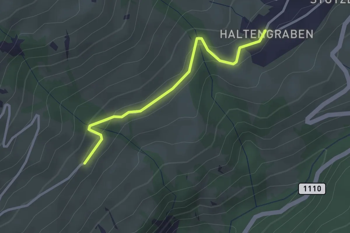
Easy · Trail
Habkern/Haltengraben – Bort
2.4 km · ↑ 99 m · 47 min · 14 km away
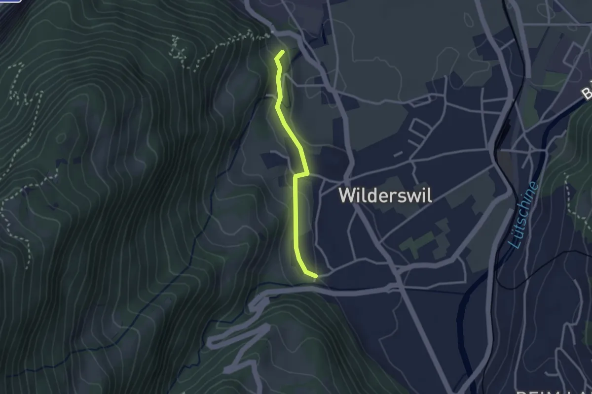
Easy · Trail
Ruine Unspannen - Mühle
2.2 km · ↑ 50 m · 37 min · 14 km away
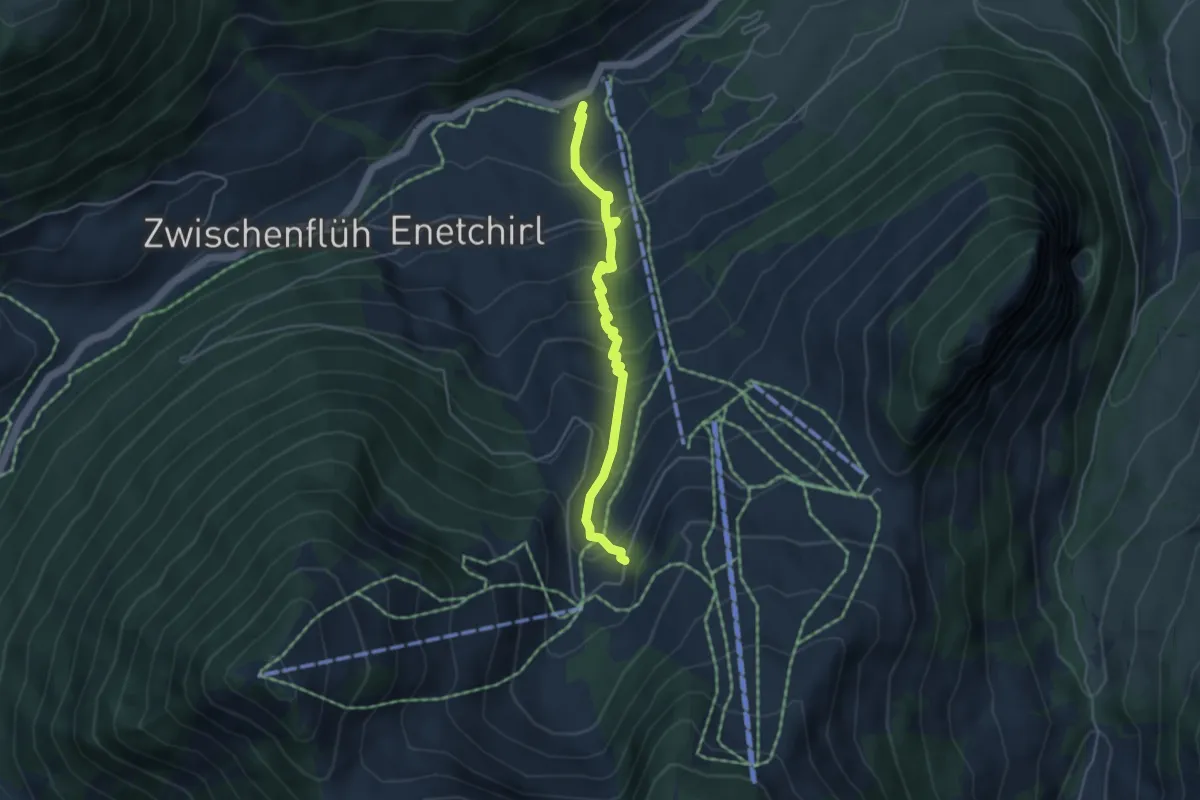
Medium · Trail
Riedli – Underi Heitere
4.2 km · ↑ 392 m · 1 h 50 min · 14 km away
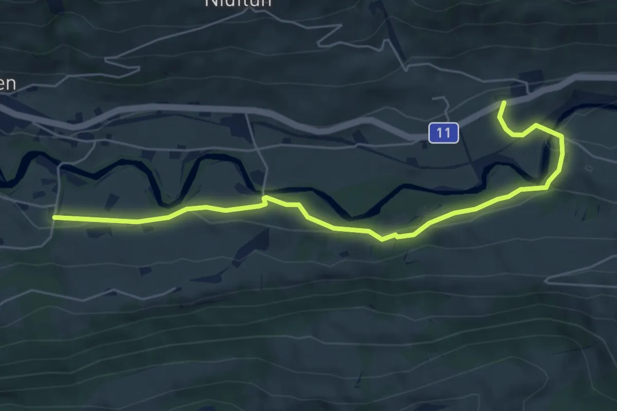
Easy · Trail
Waldegg – Rindgoldingen
6.1 km · ↑ 173 m · 1 h 49 min · 14 km away
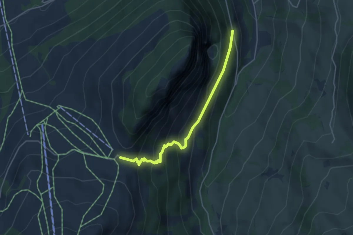
Easy · Trail
Underbergwald – Schwarzeberg
3.5 km · ↑ 312 m · 1 h 31 min · 14 km away
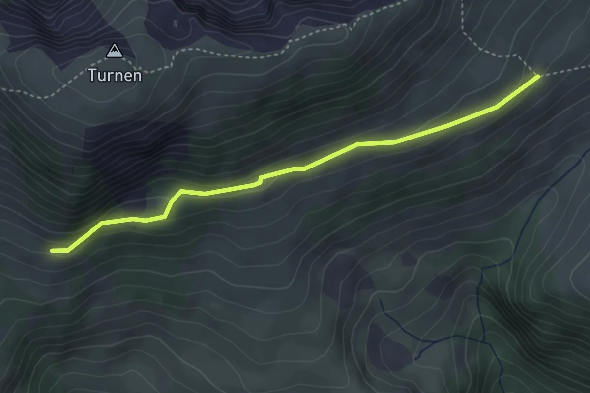
Easy · Trail
Rinderalp – Vordertärfeten
3.7 km · ↑ 126 m · 1 h 9 min · 15 km away
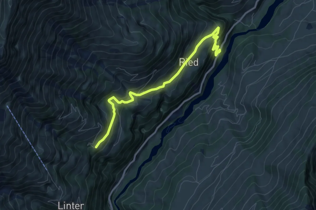
Medium · Trail
Ried - Gempelen
8.4 km · ↑ 528 m · 3 h 7 min · 15 km away
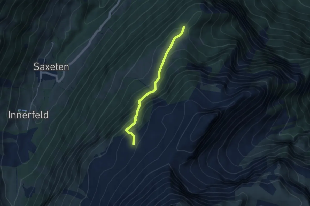
Medium · Trail
Schwarzhore - Bällen
3.5 km · ↑ 310 m · 1 h 30 min · 15 km away
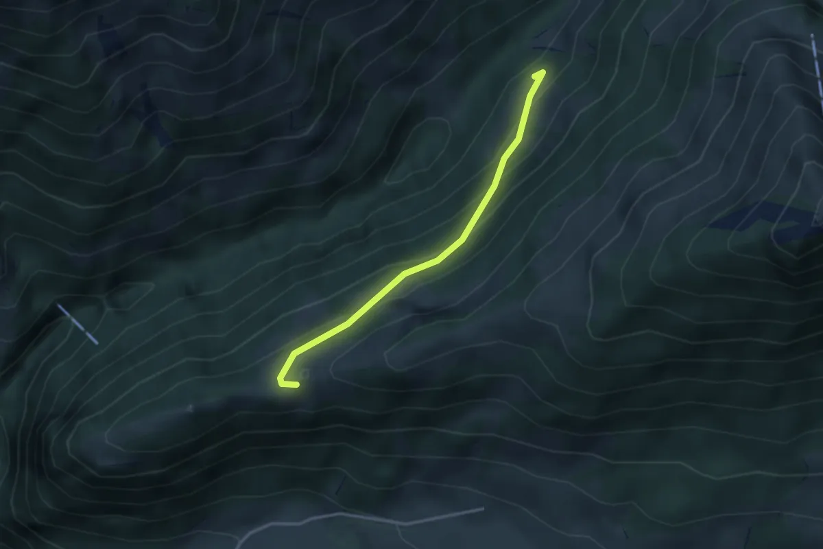
Easy · Trail
Flüeberg – Schattenhalb
2.9 km · ↑ 214 m · 1 h 9 min · 15 km away
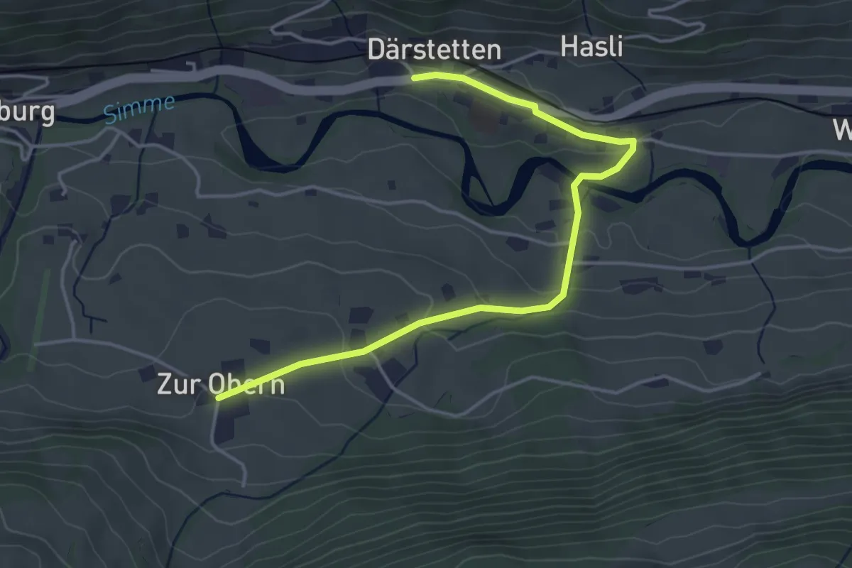
Easy · Trail
Därstetten – Zur Obern
4.5 km · ↑ 137 m · 1 h 22 min · 15 km away
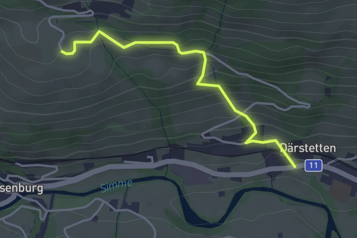
Easy · Trail
Weissenburgberg – Därstetten
3.2 km · ↑ 255 m · 1 h 18 min · 15 km away
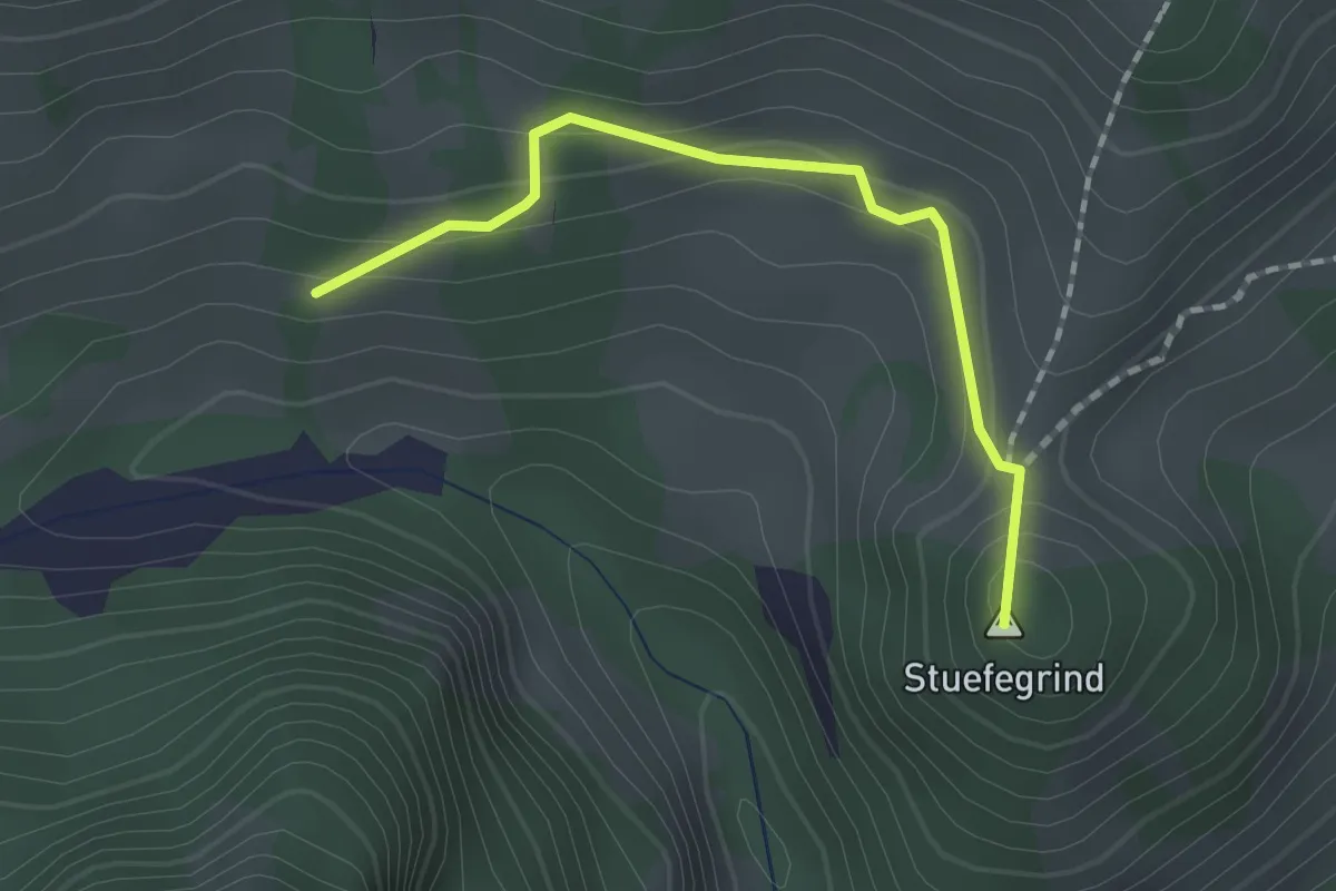
Easy · Summit
Bergli – Zügegg
1.6 km · ↑ 61 m · 31 min · 15 km away
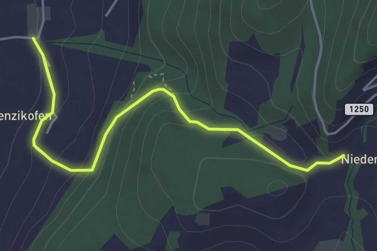
Easy · Trail
Brenzikofen – Niederbleiken
3.8 km · ↑ 209 m · 1 h 21 min · 15 km away
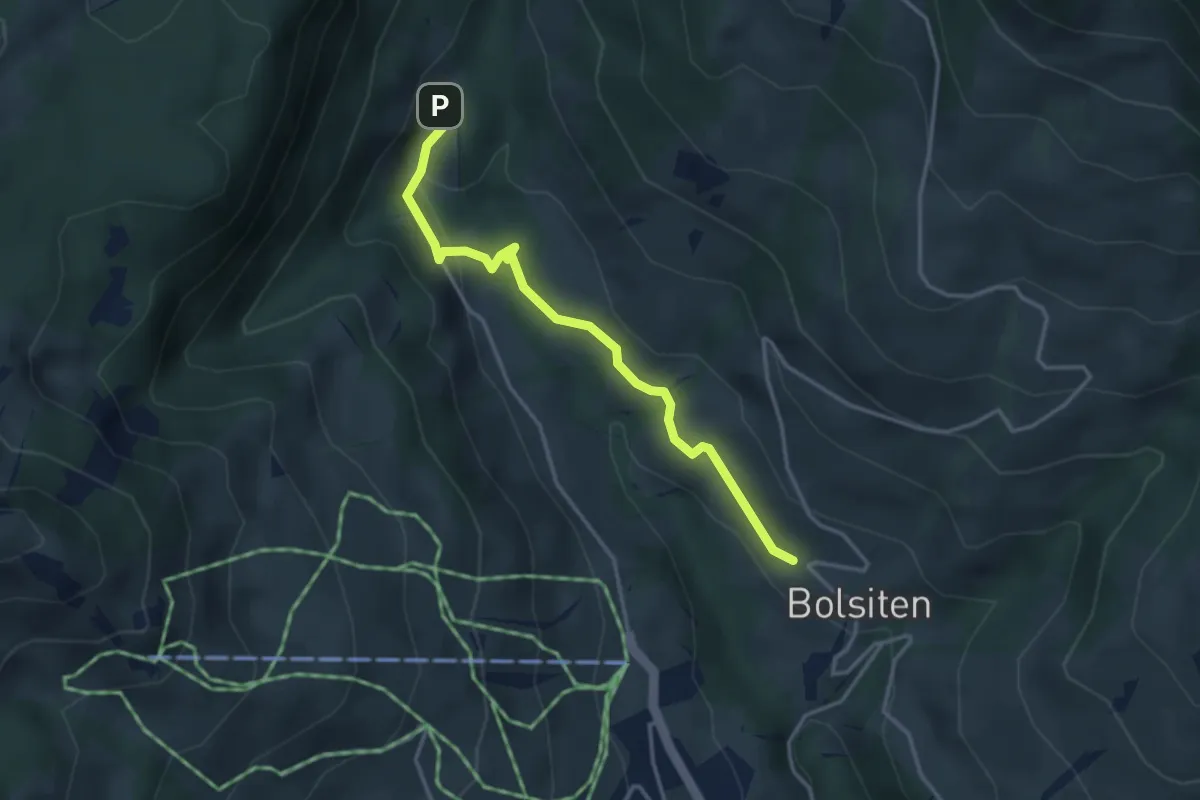
Easy · Trail
Bolsiten – Blossmoos
3.4 km · ↑ 99 m · 1 h 1 min · 15 km away
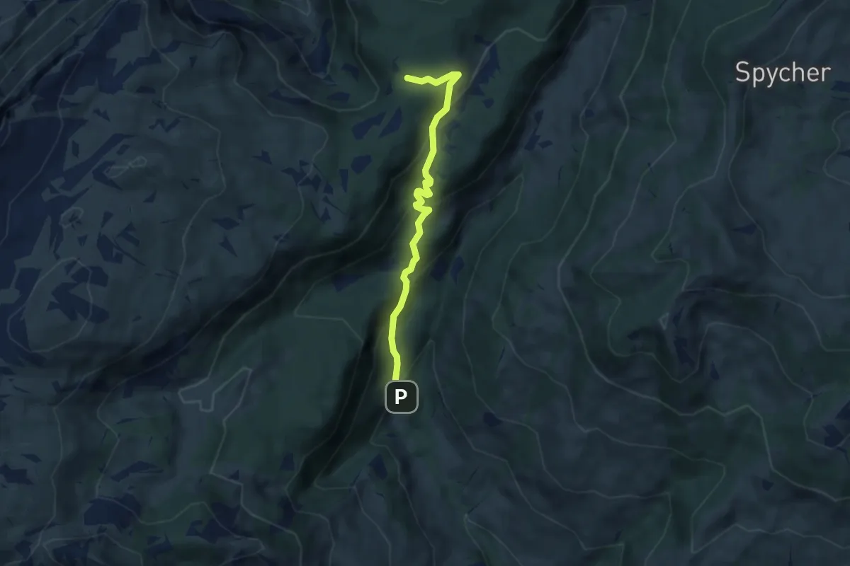
Medium · Trail
Grünenbergpass – Blossmoos
5.9 km · ↑ 419 m · 2 h 18 min · 15 km away
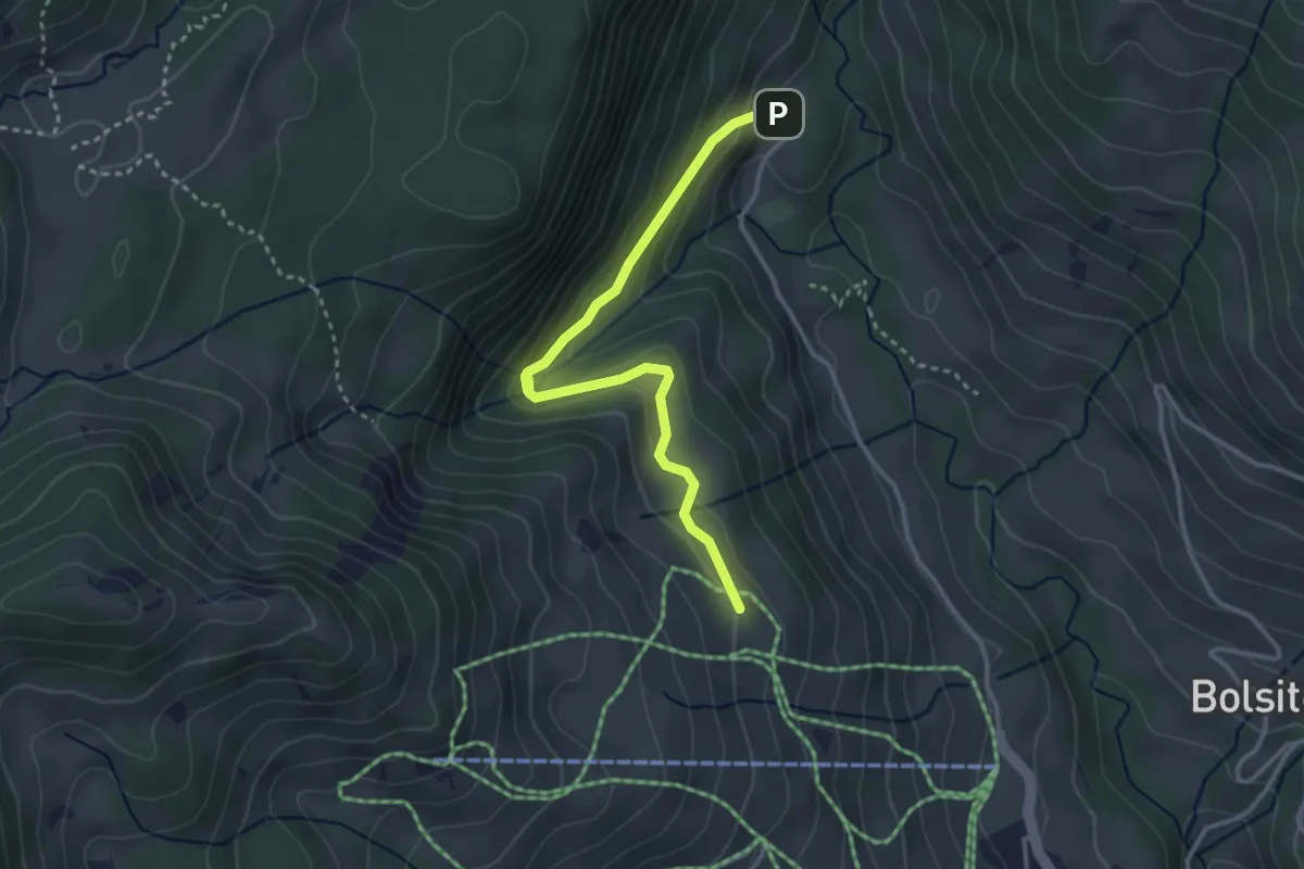
Easy · Cabin
Blossmoos – Läger
3.4 km · ↑ 180 m · 1 h 11 min · 15 km away
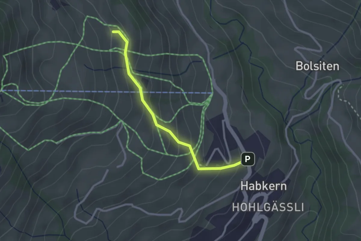
Easy · Cabin
Läger – Habkern
2.3 km · ↑ 196 m · 58 min · 15 km away
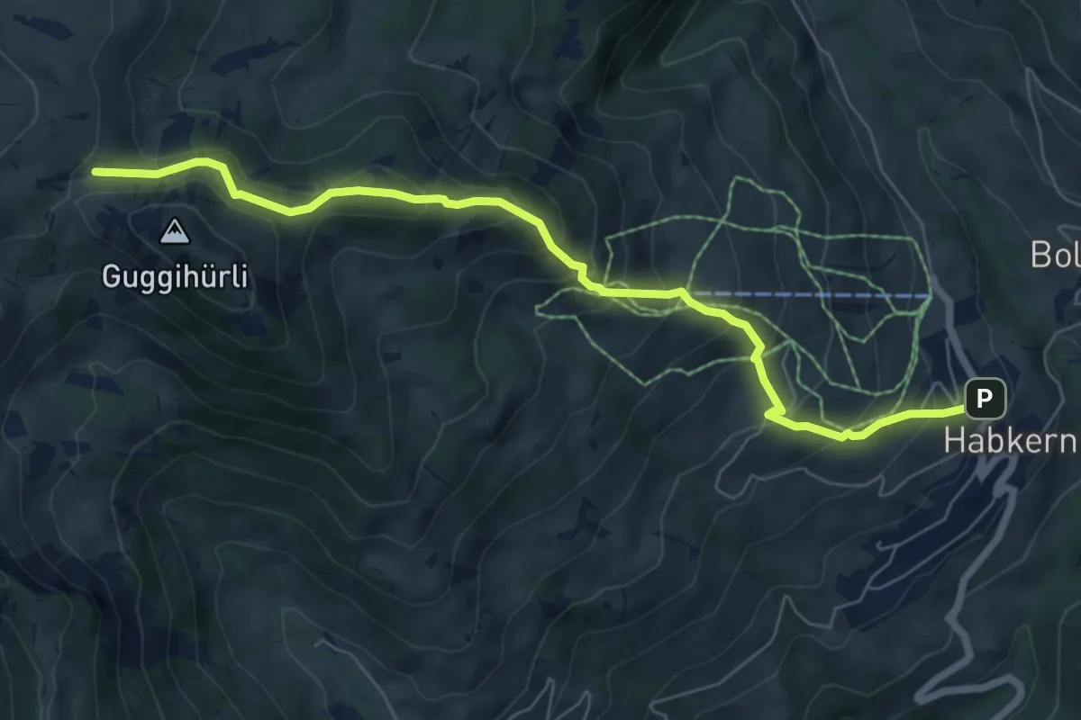
Medium · Trail
Habkern – Bäreney
7.1 km · ↑ 659 m · 3 h 6 min · 15 km away
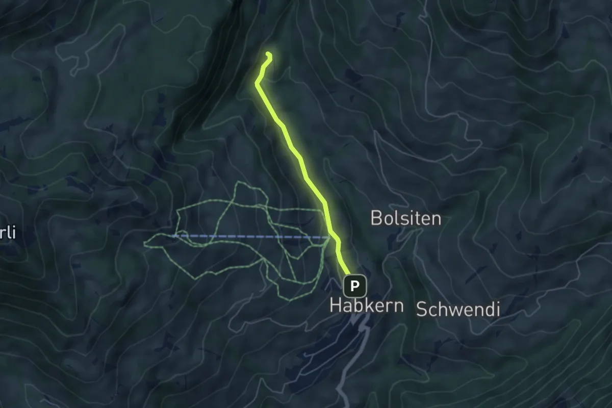
Easy · Trail
Blossmoos – Habkern
3.7 km · ↑ 105 m · 1 h 6 min · 15 km away
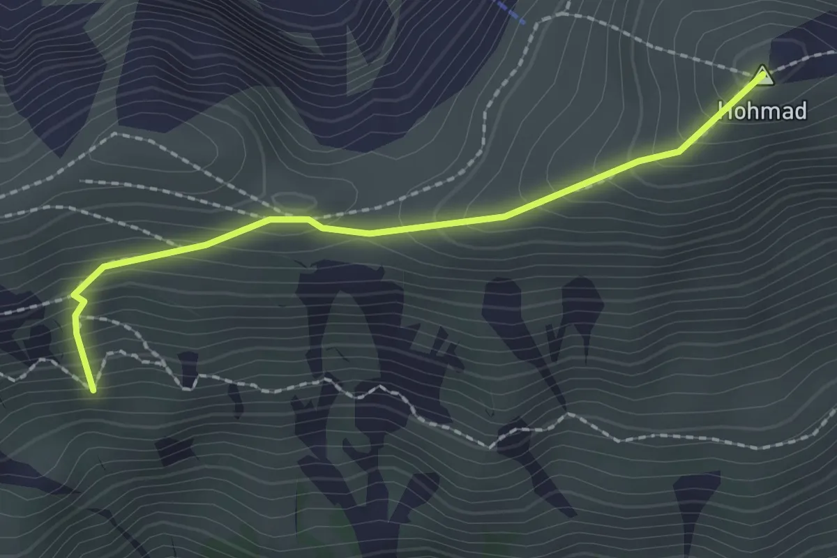
Medium · Summit
Hohmad - Schiterwang
2.0 km · ↑ 211 m · 56 min · 15 km away
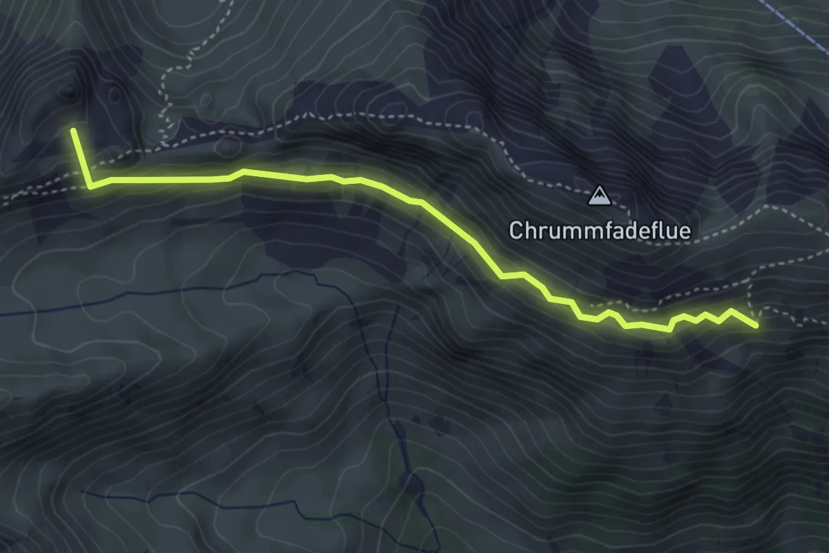
Medium · Summit
Schiterwang – Leiterenpass
4.1 km · ↑ 293 m · 1 h 36 min · 15 km away
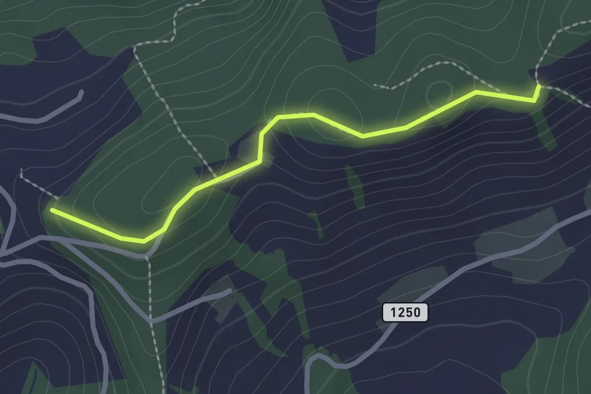
Easy · Trail
Falkeflue – Sattelwald
2.1 km · ↑ 61 m · 38 min · 15 km away
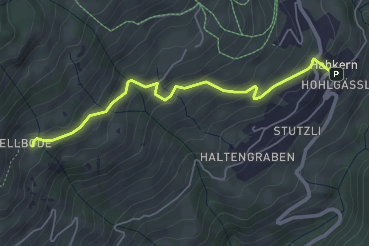
Easy · Trail
Hellboden – Habkern
4.3 km · ↑ 252 m · 1 h 33 min · 15 km away
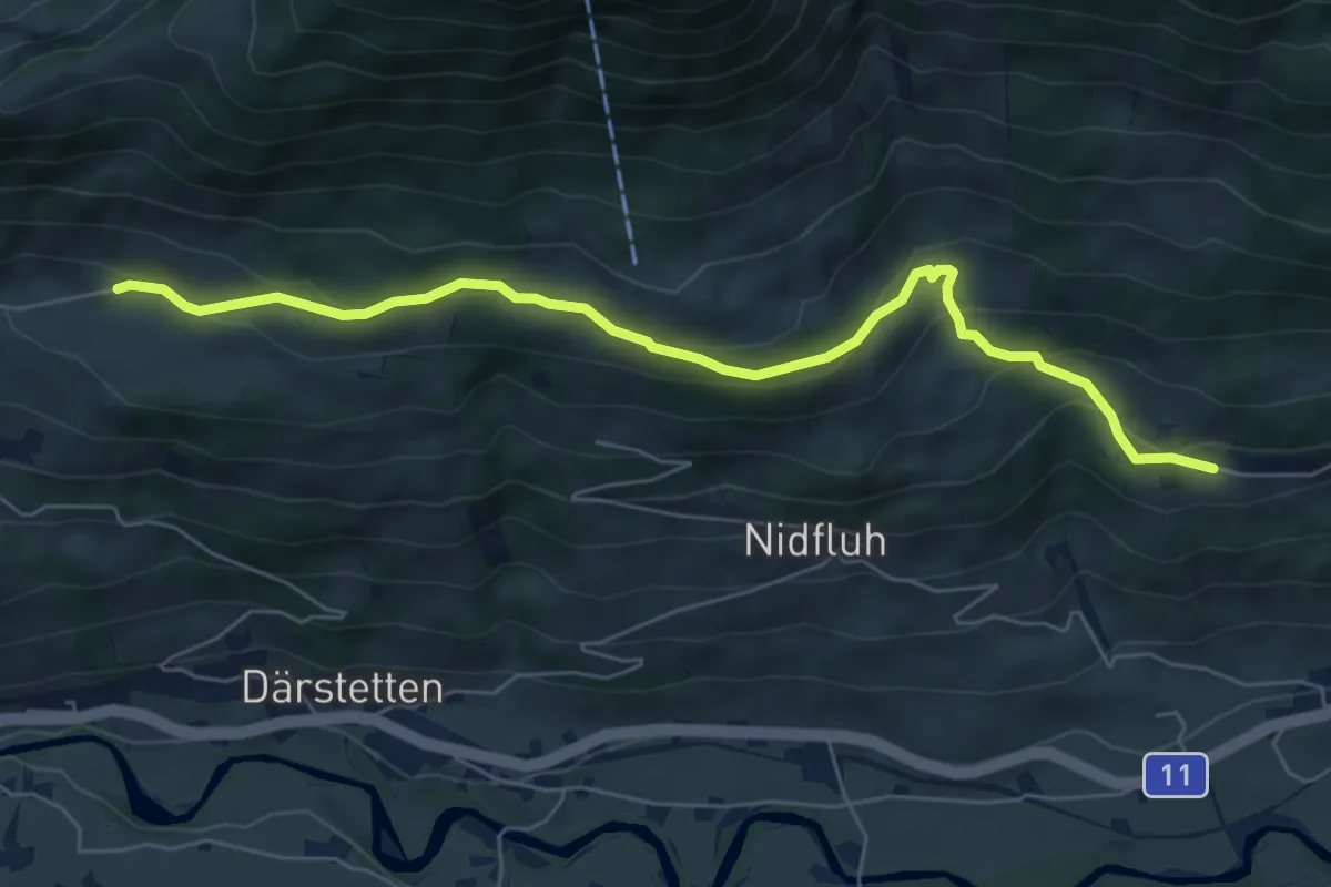
Easy · Trail
Stigimad – Balzenberg
6.7 km · ↑ 316 m · 2 h 15 min · 15 km away
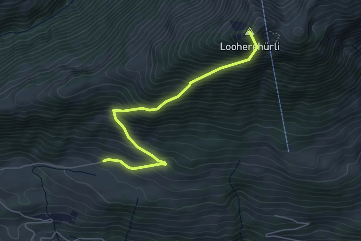
Medium · Summit
Stigimad – Oberi Loohere
4.7 km · ↑ 633 m · 2 h 29 min · 15 km away