Trails near Stäfa
621 hikes starting within 15 km, nearest first.
Nearest first, page 10 of 13
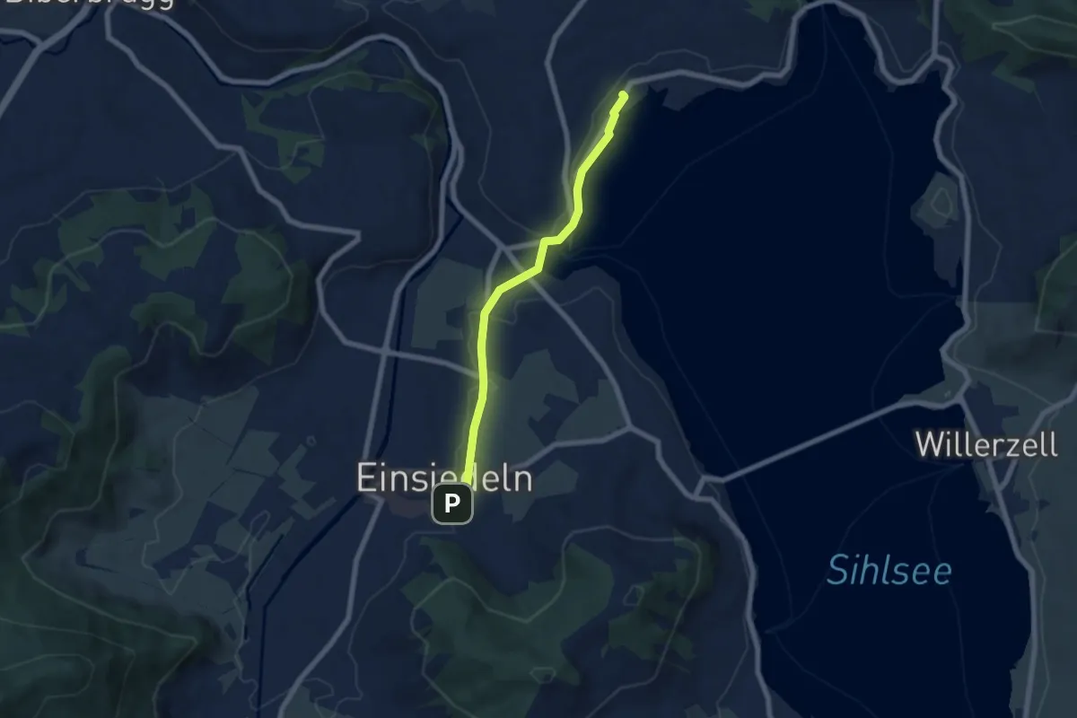
Easy · Trail
Kloster Einsiedeln - Strandbad Einsiedeln
5.8 km · ↑ 42 m · 1 h 28 min · 13 km away
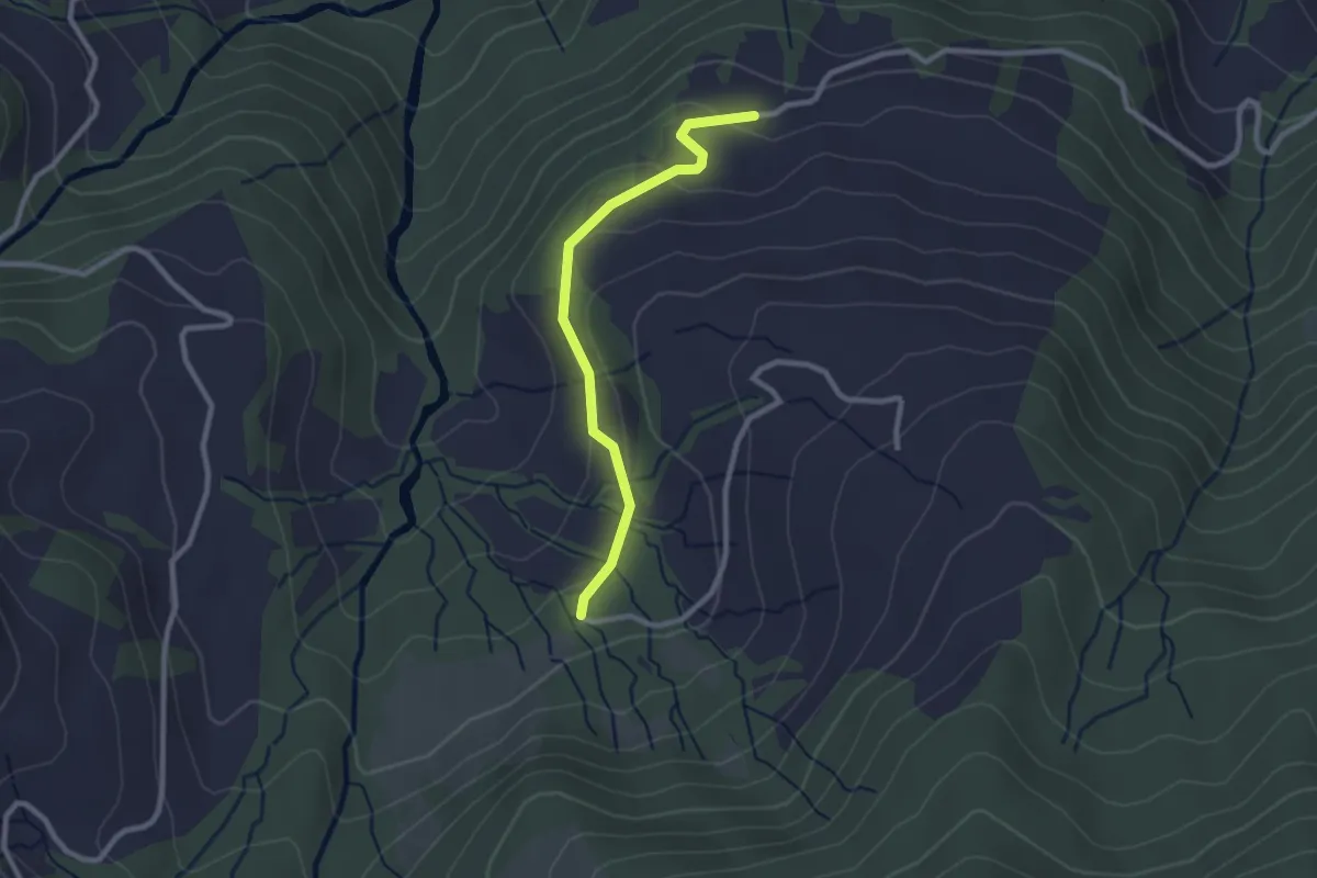
Easy · Trail
Grabenegg - Wiselegg
2.4 km · ↑ 68 m · 43 min · 13 km away
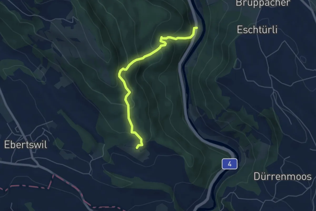
Medium · Trail
Schweikhof – Stn. Sihlbrugg
5.0 km · ↑ 368 m · 1 h 59 min · 13 km away
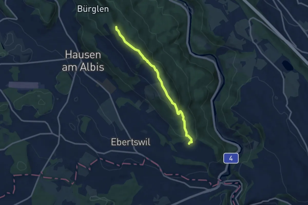
Easy · Summit
Albishorn – Schweikhof
7.4 km · ↑ 318 m · 2 h 26 min · 13 km away
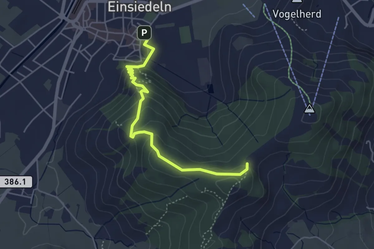
Easy · Trail
Einsiedeln Kloster – Friherrenberg
4.3 km · ↑ 196 m · 1 h 26 min · 13 km away
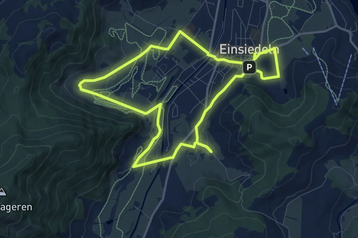
Medium · Trail
Einsiedler Herbschtfäscht
8.9 km · ↑ 81 m · 2 h 24 min · 13 km away
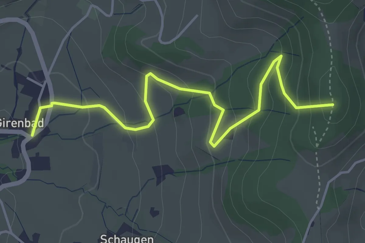
Easy · Summit
Schufelberger Egg - Girenbad
4.3 km · ↑ 267 m · 1 h 36 min · 13 km away
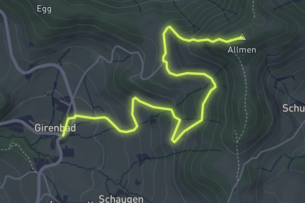
Medium · Summit
Allmen - Girenbad
5.9 km · ↑ 362 m · 2 h 11 min · 13 km away
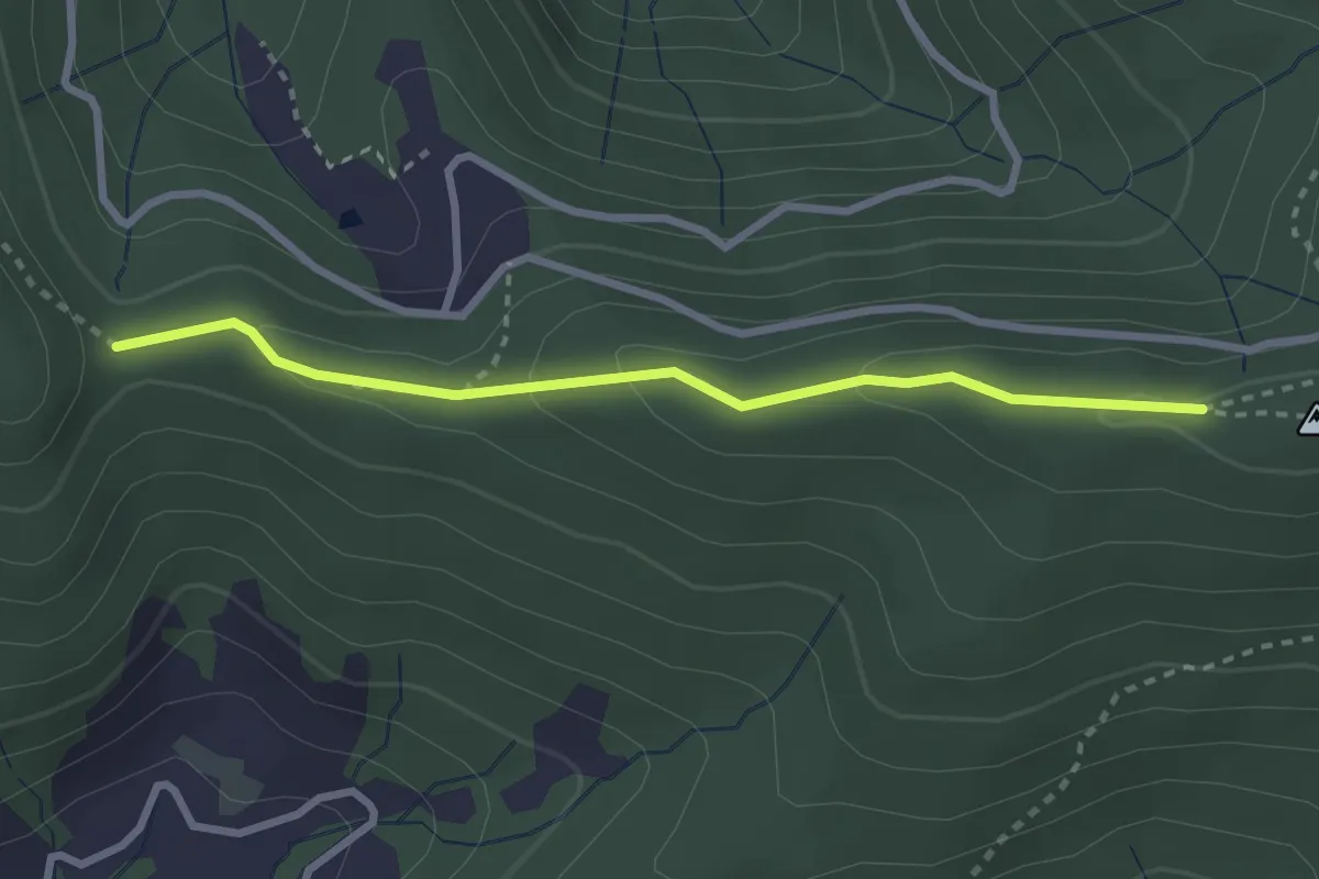
Medium · Trail
Muetegg – Mangelhöhe
2.7 km · ↑ 96 m · 50 min · 13 km away
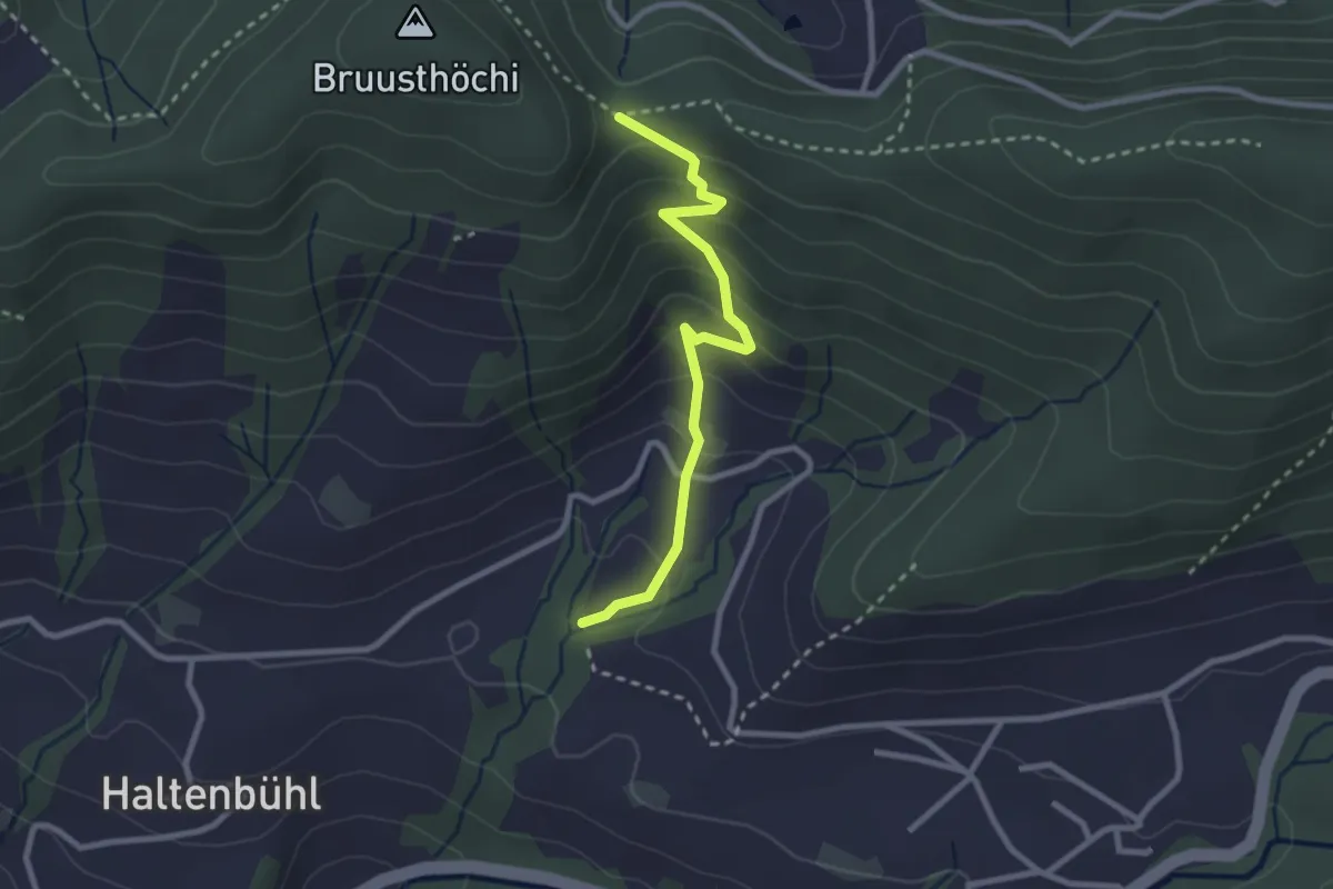
Easy · Trail
Mangelihöhe – Chefibach
2.6 km · ↑ 212 m · 1 h 4 min · 13 km away
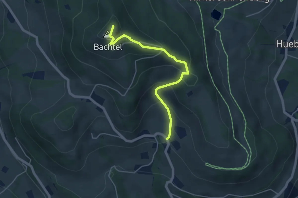
Easy · Summit
Unterbach – Bachtel
3.7 km · ↑ 247 m · 1 h 25 min · 13 km away
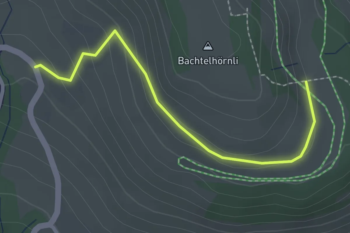
Easy · Trail
Unterbach – ?
2.1 km · ↑ 71 m · 39 min · 13 km away
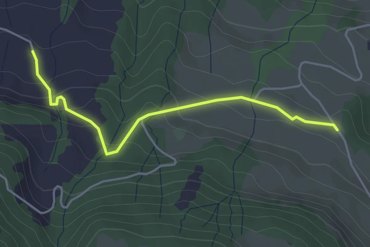
Easy · Trail
Stalden - Moos
3.5 km · ↑ 192 m · 1 h 15 min · 13 km away
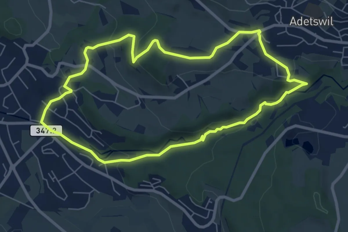
Easy · Trail
Rundweg Burgholz
5.5 km · ↑ 170 m · 1 h 45 min · 13 km away
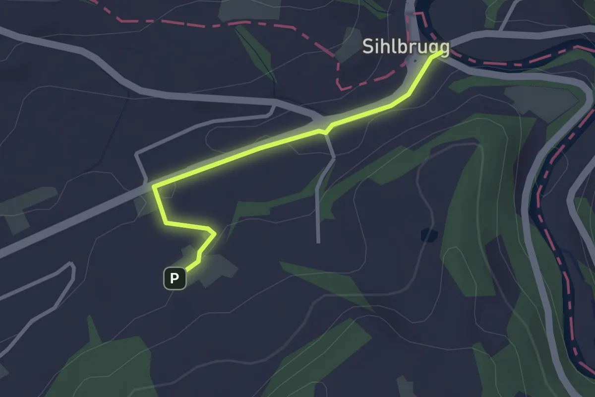
Easy · Trail
Sihlbrugg Dorf – Utigen
2.4 km · ↑ 23 m · 37 min · 13 km away
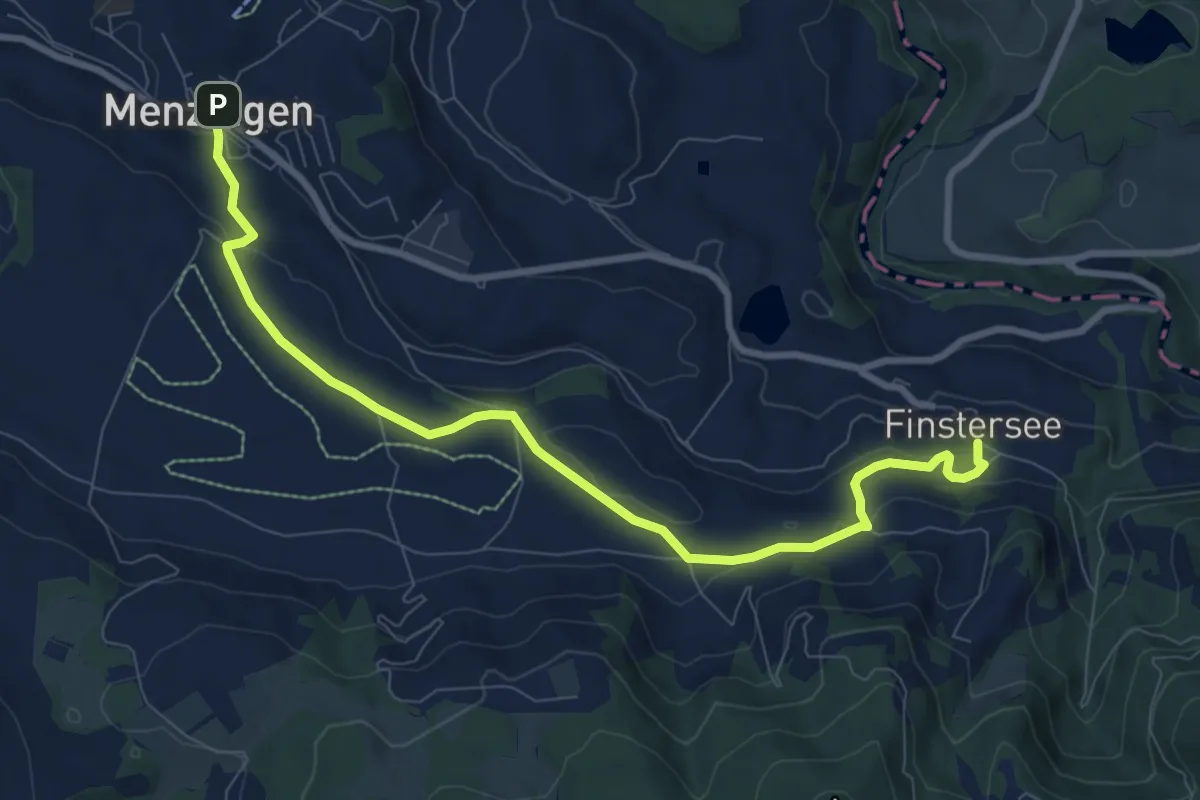
Medium · Trail
Menzingen - Finstersee
9.4 km · ↑ 171 m · 2 h 36 min · 13 km away
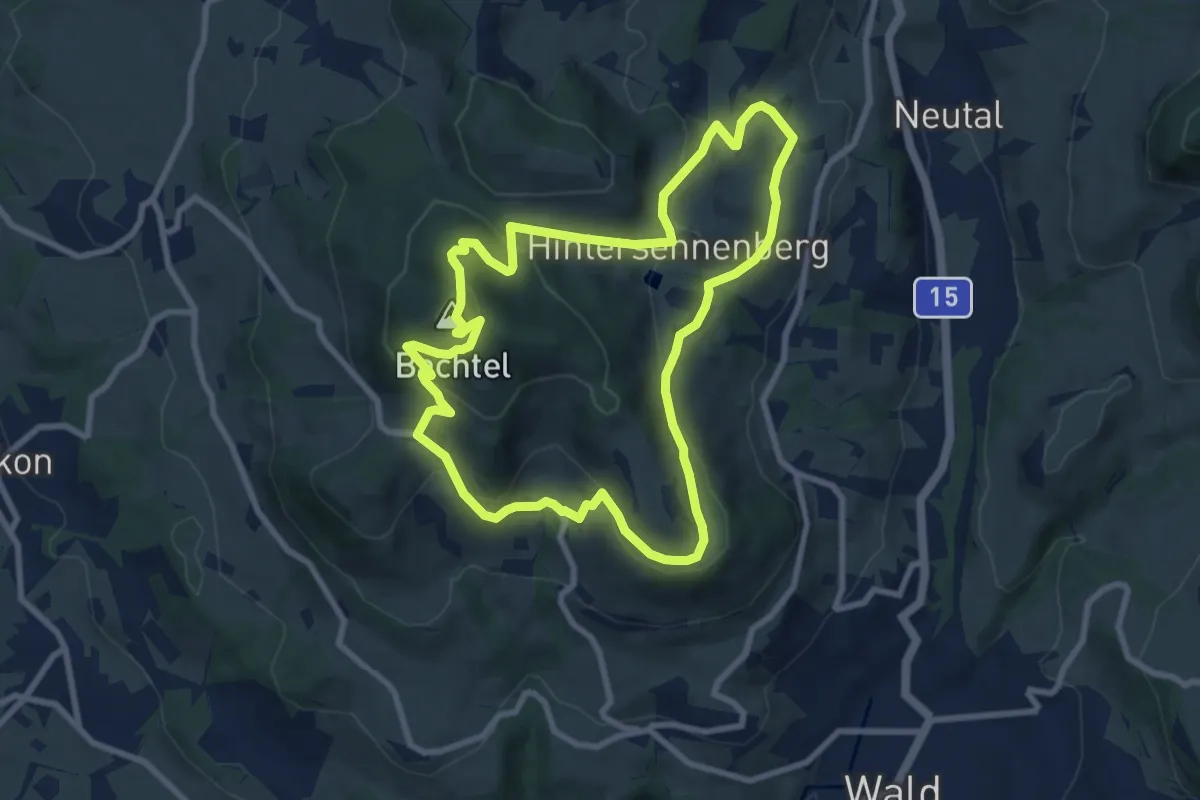
Medium · Summit
Bachtel-Kulm
8.3 km · ↑ 358 m · 2 h 51 min · 13 km away
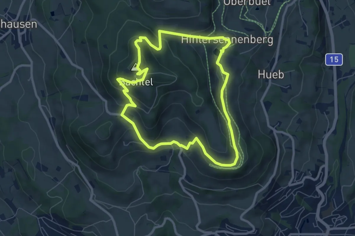
Easy · Summit
Bachtelweiher
6.5 km · ↑ 306 m · 2 h 17 min · 13 km away
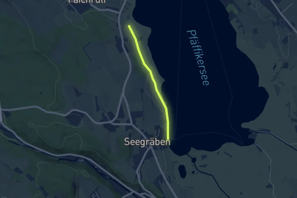
Easy · Trail
Talhof – Seegräben Landungssteg
3.4 km · ↑ 28 m · 52 min · 13 km away
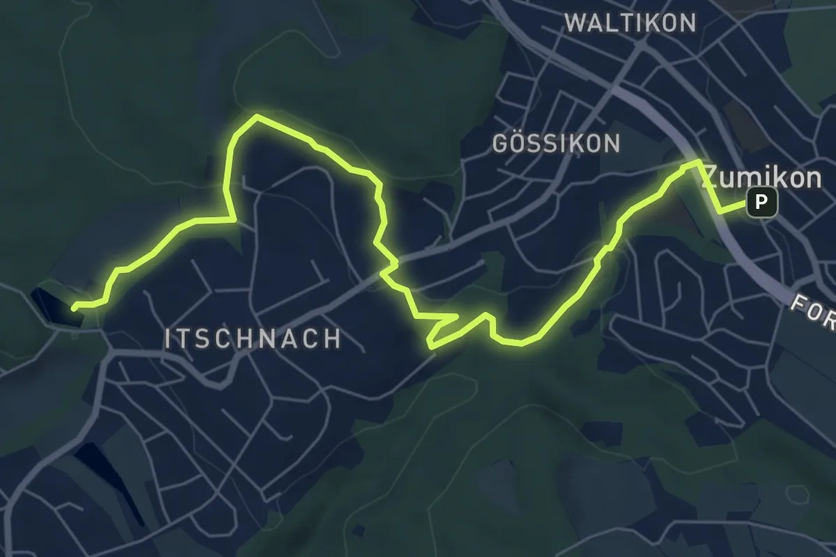
Medium · Trail
Rumensee – Zumikon
8.1 km · ↑ 282 m · 2 h 32 min · 13 km away
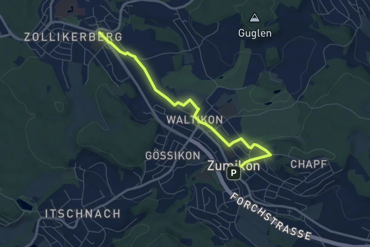
Easy · Trail
Zollikerberg – Zumikon
6.6 km · ↑ 172 m · 1 h 56 min · 13 km away
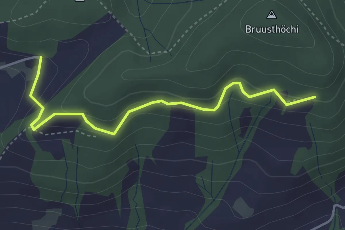
Medium · Trail
Bruustweid – Hintertann
3.4 km · ↑ 190 m · 1 h 13 min · 13 km away
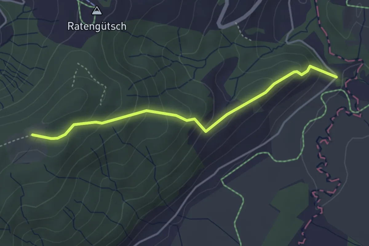
Easy · Trail
Bibersteg – St. Jost
3.7 km · ↑ 247 m · 1 h 24 min · 13 km away
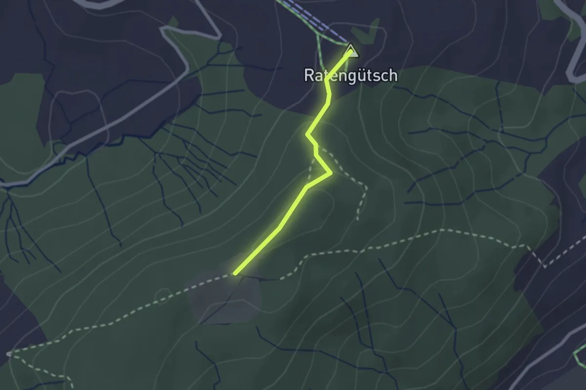
Easy · Summit
Raten – St. Jost
1.7 km · ↑ 56 m · 31 min · 13 km away
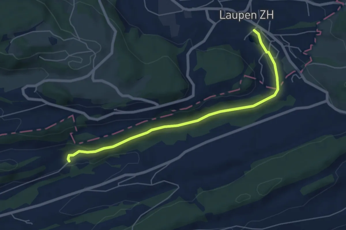
Easy · Trail
Kraueren – Laupen
5.4 km · ↑ 128 m · 1 h 33 min · 13 km away
Easy · Trail
Wiselegg - Ruchweid
3.0 km · ↑ 141 m · 1 h · 13 km away
Easy · Trail
Wiselegg - Gueteregg
6.7 km · ↑ 309 m · 2 h 15 min · 13 km away
Easy · Trail
Willerzell - Geissweidli
3.7 km · ↑ 116 m · 1 h 7 min · 13 km away
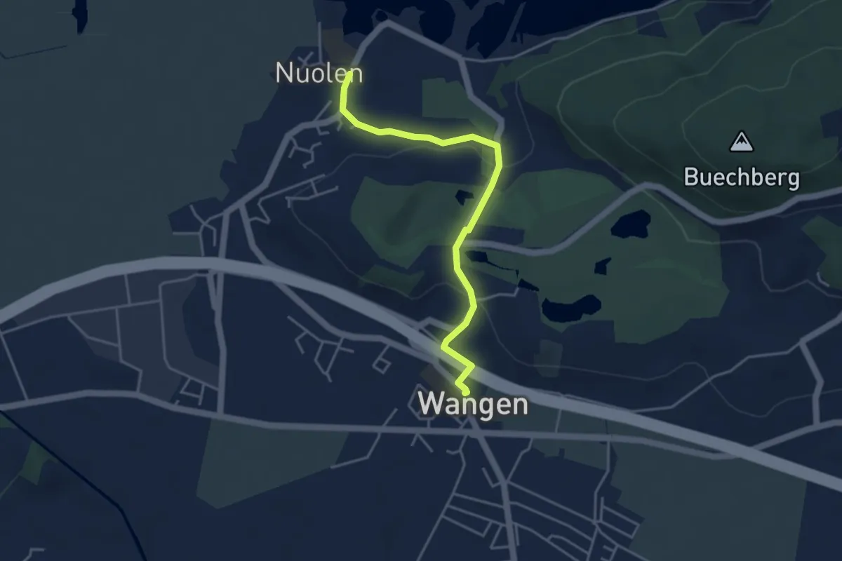
Easy · Trail
Wangen – Nuolen
3.8 km · ↑ 100 m · 1 h 7 min · 13 km away
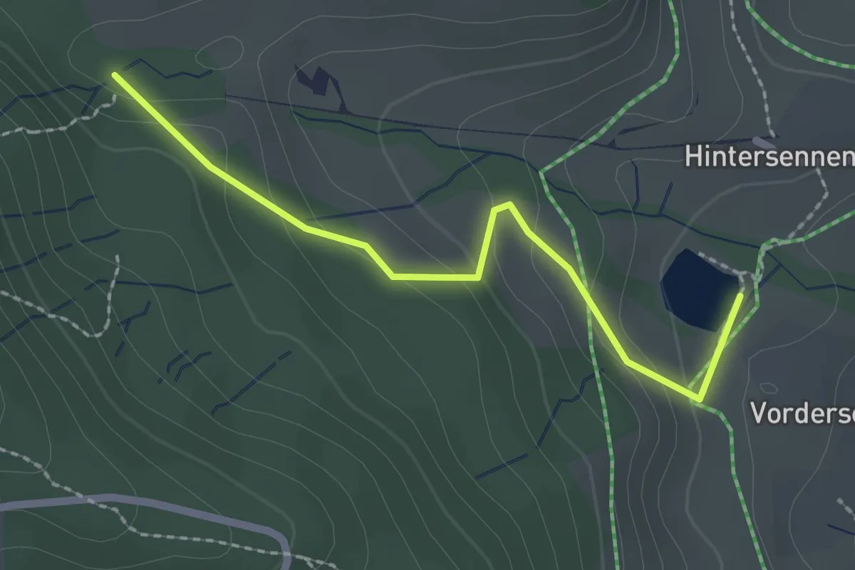
Easy · Trail
Bachtelweiher – Auenberg Sattel
2.1 km · ↑ 116 m · 45 min · 13 km away
Demanding · Trail
Zürichsee Rundweg - Etappe 10
21.9 km · ↑ 333 m · 5 h 53 min · 13 km away
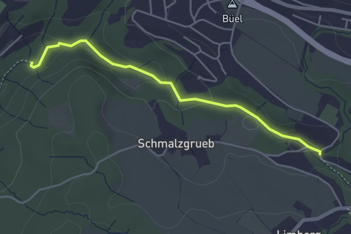
Easy · Trail
Johannisburg – Tobelmüli
3.7 km · ↑ 87 m · 1 h 4 min · 13 km away
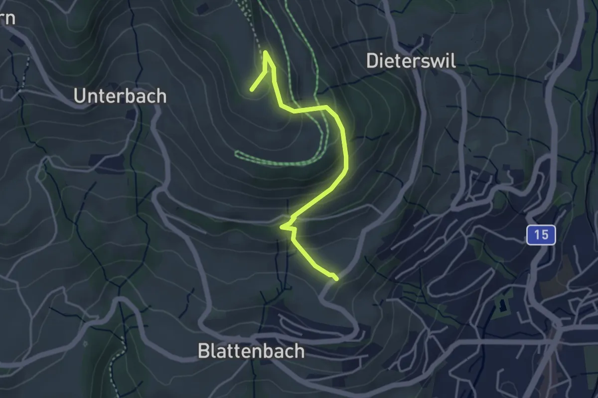
Easy · Summit
Bachtelspalt - Tänler
3.3 km · ↑ 213 m · 1 h 15 min · 13 km away
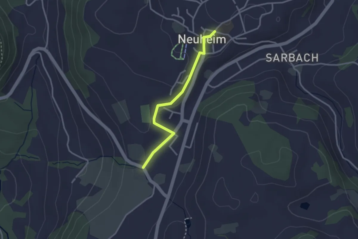
Easy · Trail
Hinterburg - Neuheim
2.4 km · ↑ 37 m · 39 min · 13 km away
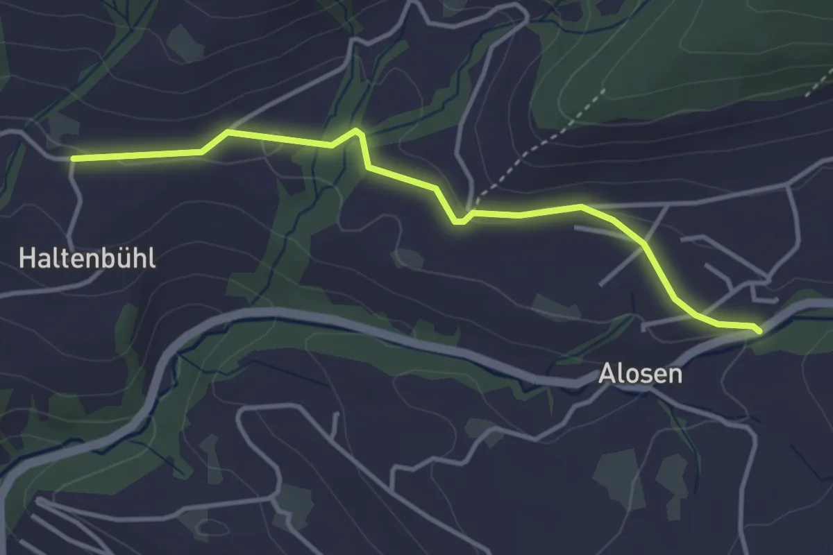
Easy · Trail
Alosen - Oberhaltenbüel
3.5 km · ↑ 52 m · 57 min · 13 km away
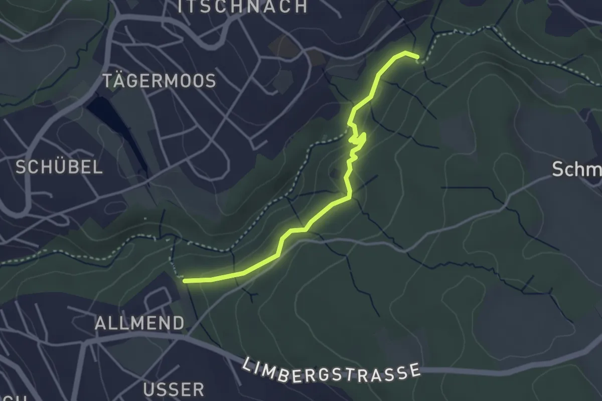
Easy · Trail
Küsnachter Tobel – Johannisburg
3.3 km · ↑ 108 m · 1 h · 13 km away
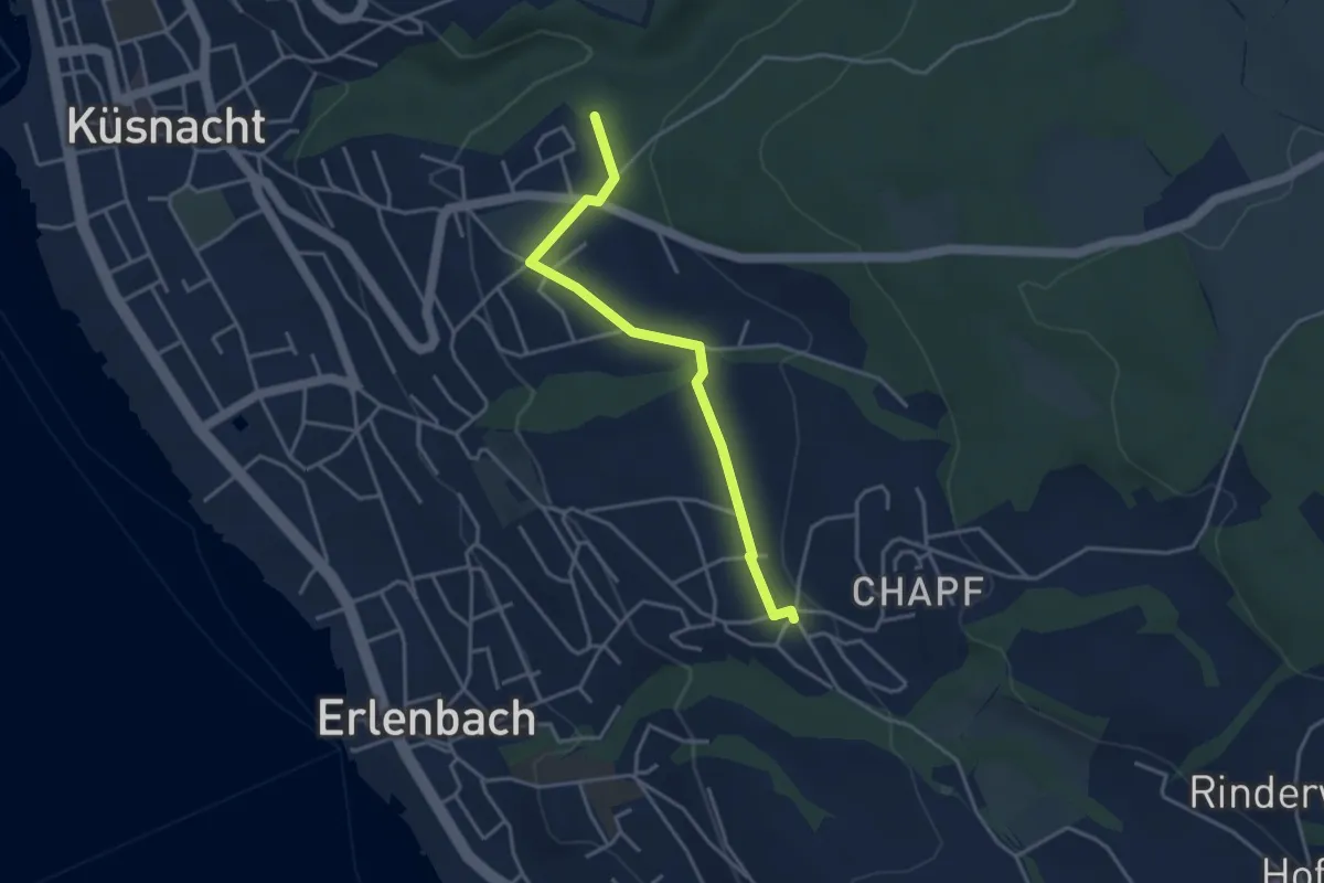
Easy · Trail
Küsnachter Tobel – Erlenbach Allmend
3.6 km · ↑ 47 m · 58 min · 13 km away
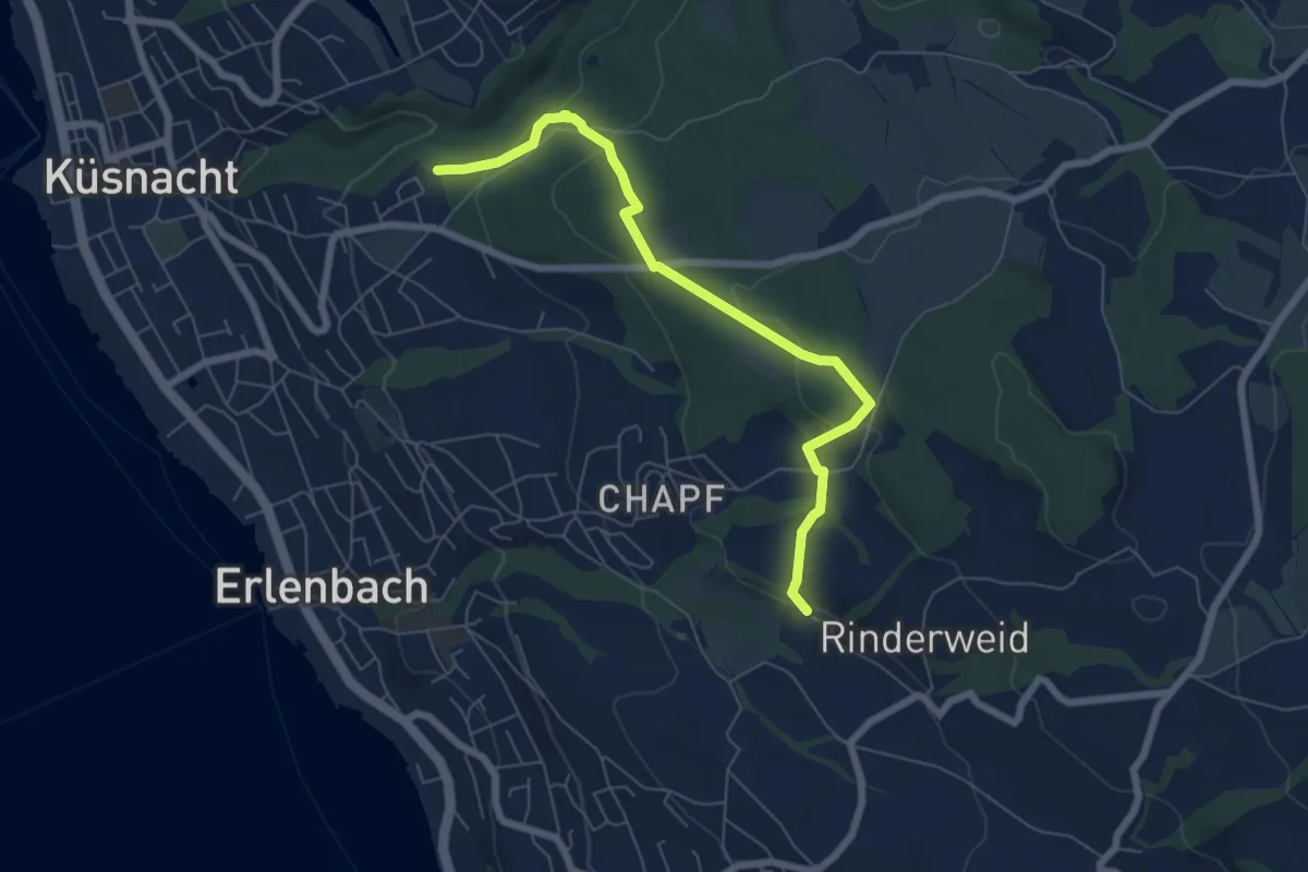
Easy · Trail
Küsnachter Tobel – Blüemlisalp
6.6 km · ↑ 227 m · 2 h 3 min · 13 km away
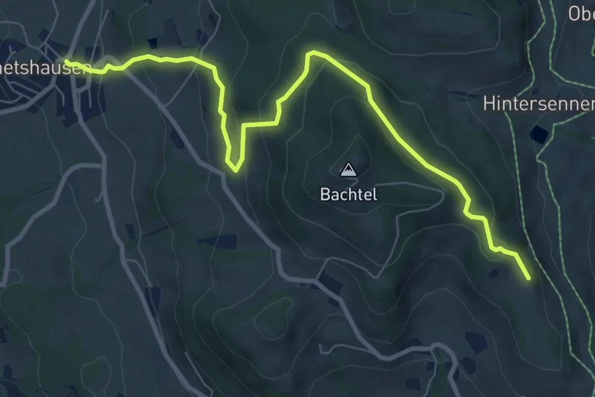
Medium · Trail
Wernetshausen – Bachtelspalt
7.7 km · ↑ 406 m · 2 h 42 min · 13 km away
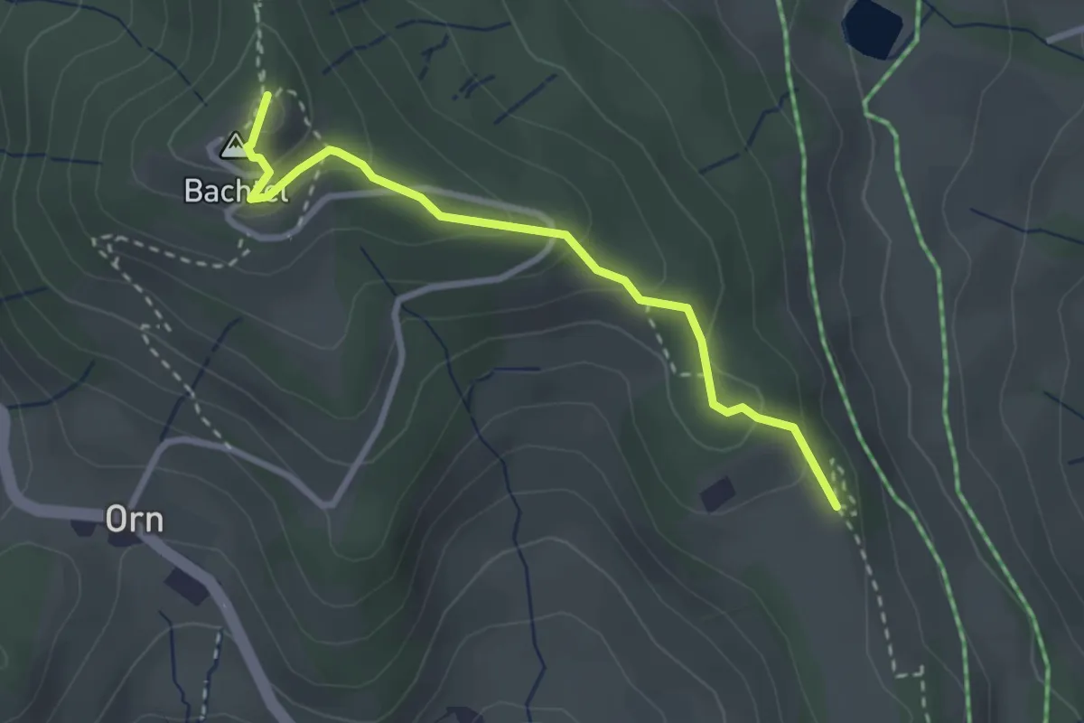
Easy · Summit
Bachtel – Bachtelspalt
2.7 km · ↑ 129 m · 55 min · 13 km away
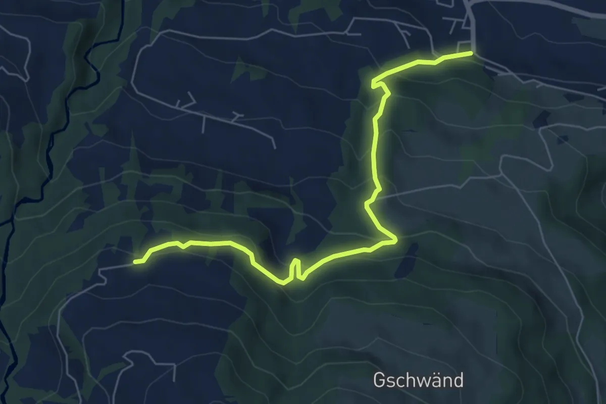
Medium · Trail
Mosen - Grabenegg
6.3 km · ↑ 460 m · 2 h 29 min · 13 km away
Medium · Trail
Grabenegg - Mosen
6.0 km · ↑ 449 m · 2 h 24 min · 13 km away
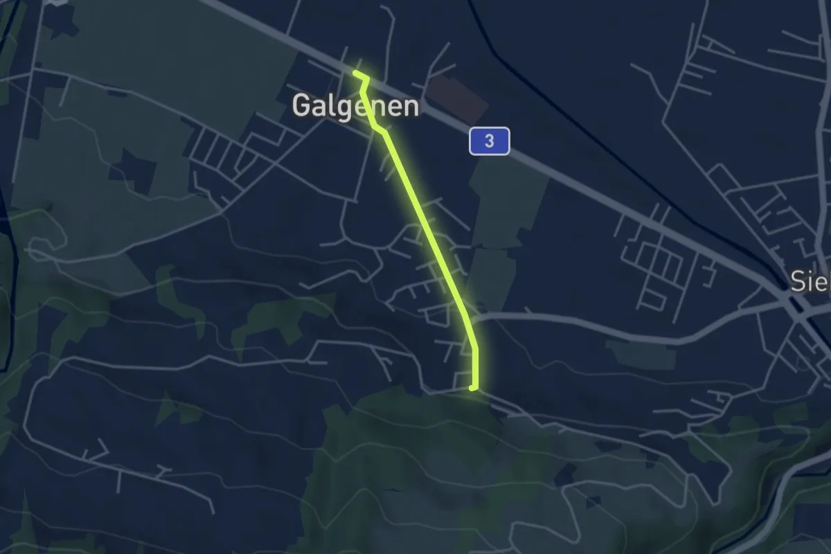
Easy · Trail
Galgenen - Mosen
2.7 km · ↑ 65 m · 46 min · 13 km away
Medium · Trail
Walderlebnispfad
3.4 km · ↑ 163 m · 1 h 10 min · 13 km away
Easy · Trail
Winikon - Hooggen
3.7 km · ↑ 90 m · 1 h 5 min · 13 km away
Easy · Trail
Winikon - Uster
3.6 km · ↑ 36 m · 56 min · 13 km away
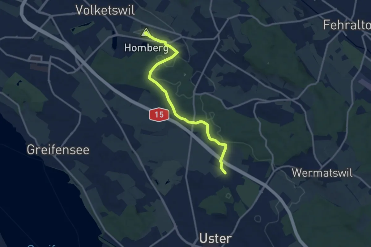
Medium · Summit
Volketswil – Winikon
8.4 km · ↑ 118 m · 2 h 15 min · 13 km away
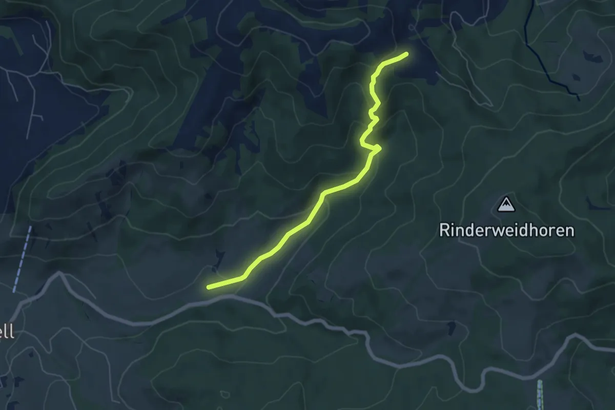
Easy · Trail
Rickental - Rindereggli
5.4 km · ↑ 256 m · 1 h 50 min · 13 km away