Trails near Stäfa
621 hikes starting within 15 km, nearest first.
Nearest first, page 11 of 13
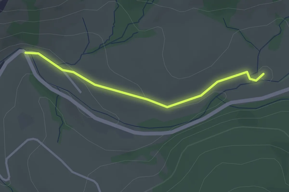
Easy · Trail
Langblätz - Rickental
2.4 km · ↑ 48 m · 40 min · 13 km away
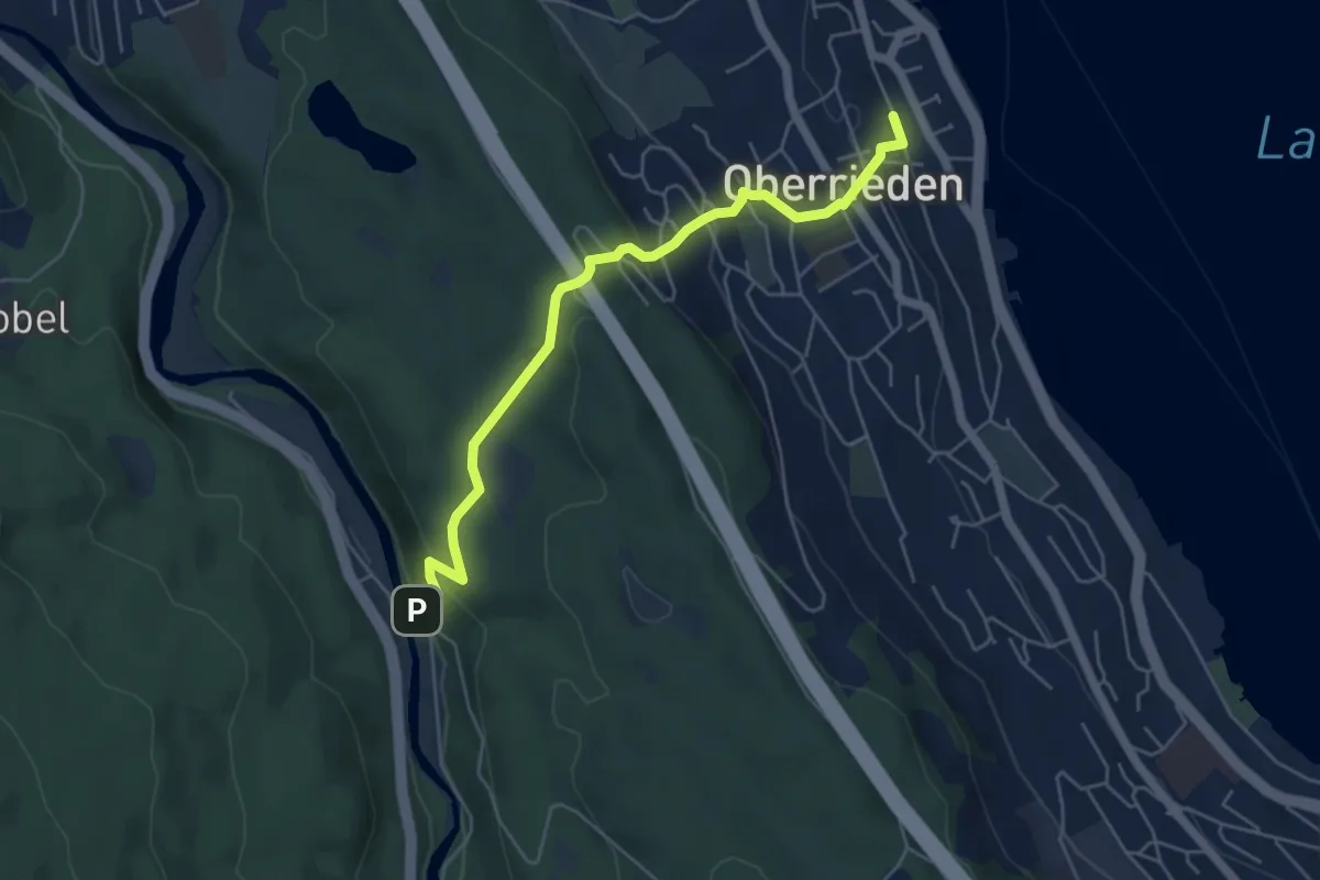
Easy · Trail
Oberrieden (Bahnhof) – Schlegeltobel
5.5 km · ↑ 248 m · 1 h 50 min · 14 km away
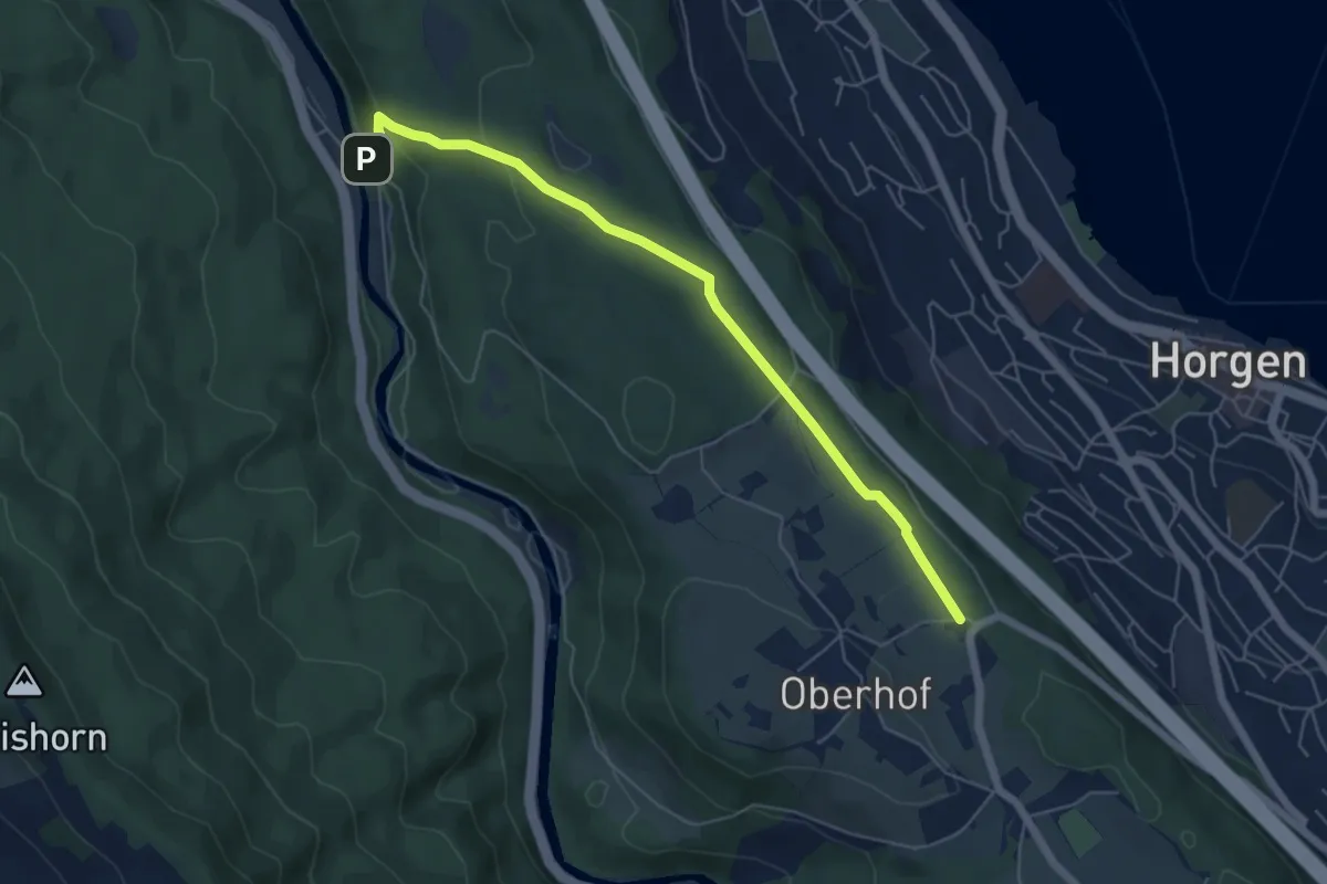
Easy · Trail
Schlegeltobel – Horgenberg
6.0 km · ↑ 168 m · 1 h 46 min · 14 km away
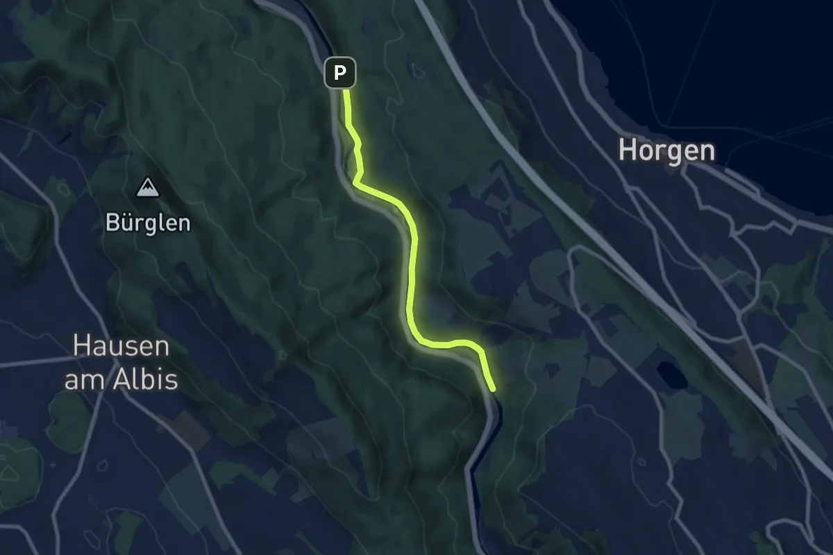
Easy · Trail
Schlegeltobel – Steinchratten
7.2 km · ↑ 99 m · 1 h 55 min · 14 km away
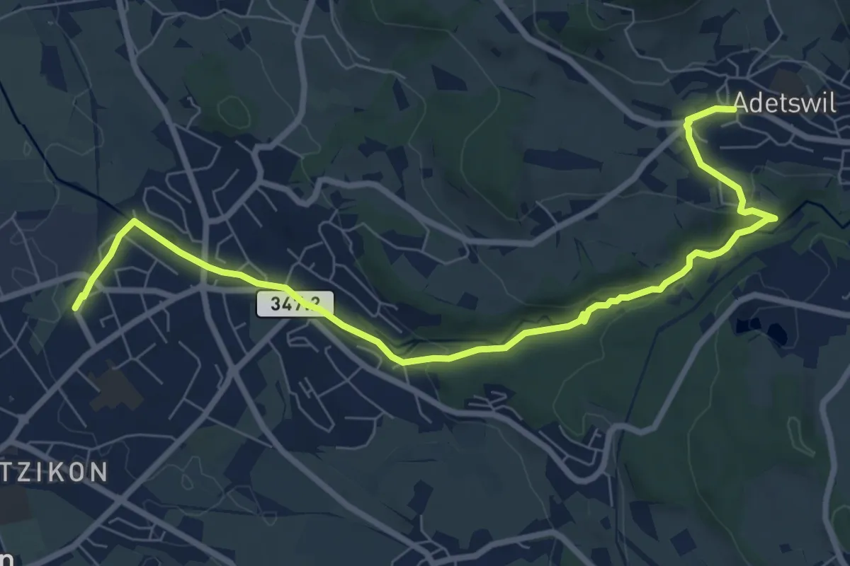
Medium · Trail
Kempten - Adetswil
8.7 km · ↑ 194 m · 2 h 28 min · 14 km away
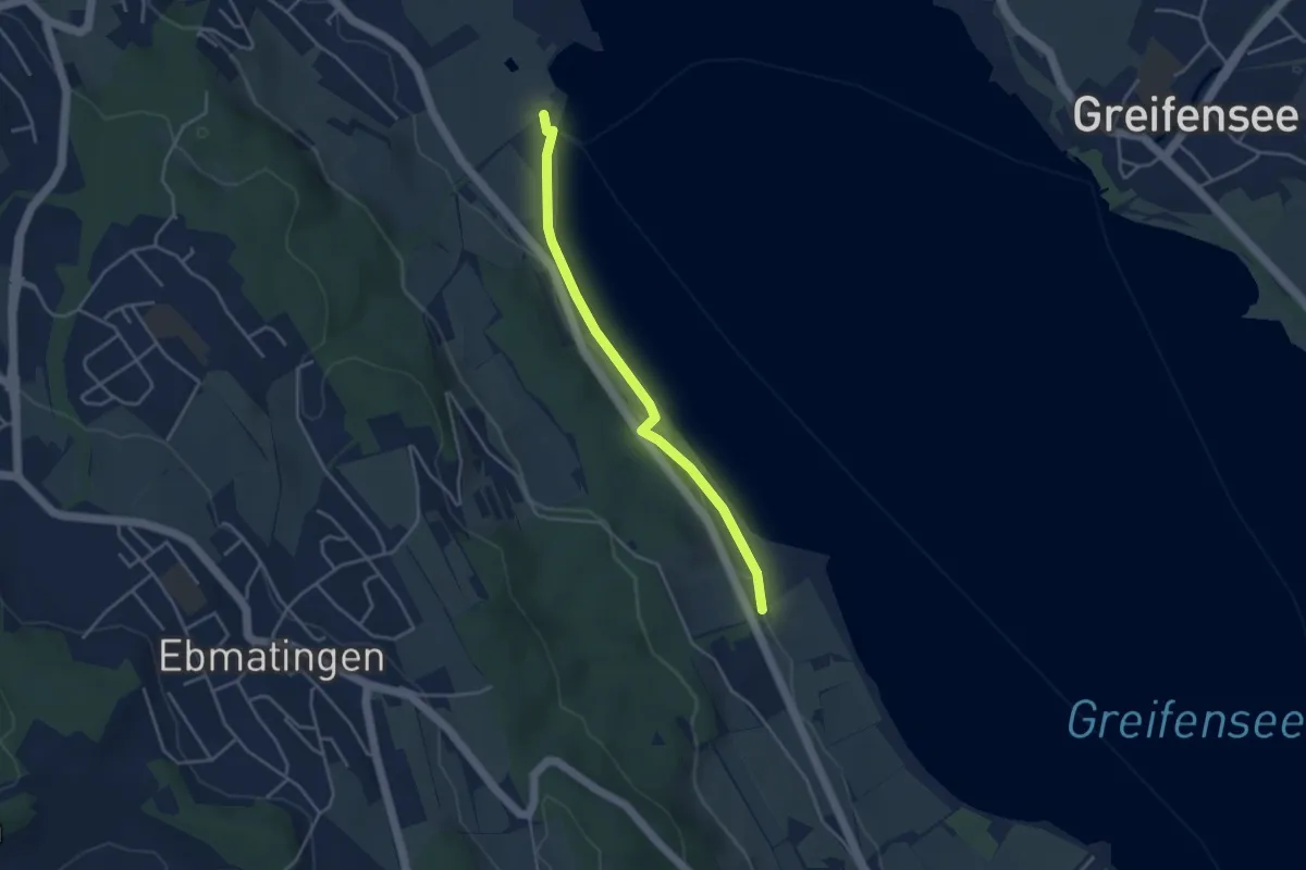
Easy · Trail
Fällanden Rohr - Aschbach
3.6 km · ↑ 42 m · 57 min · 14 km away
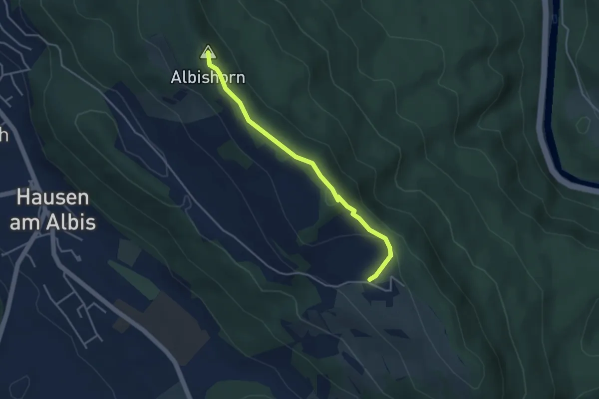
Easy · Summit
Ober Albis – Albishorn
3.3 km · ↑ 149 m · 1 h 6 min · 14 km away
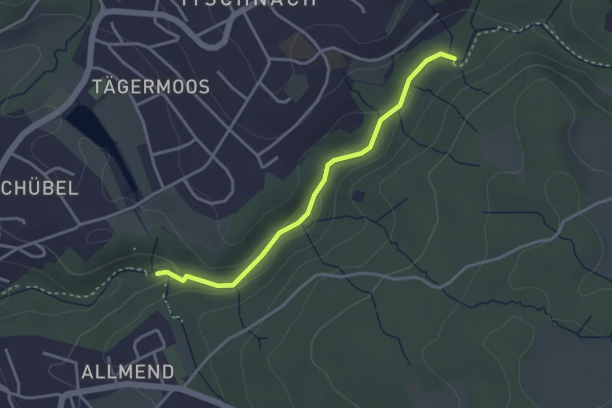
Easy · Trail
Küsnacht Dorfbach – Johannisburg
2.8 km · ↑ 68 m · 48 min · 14 km away
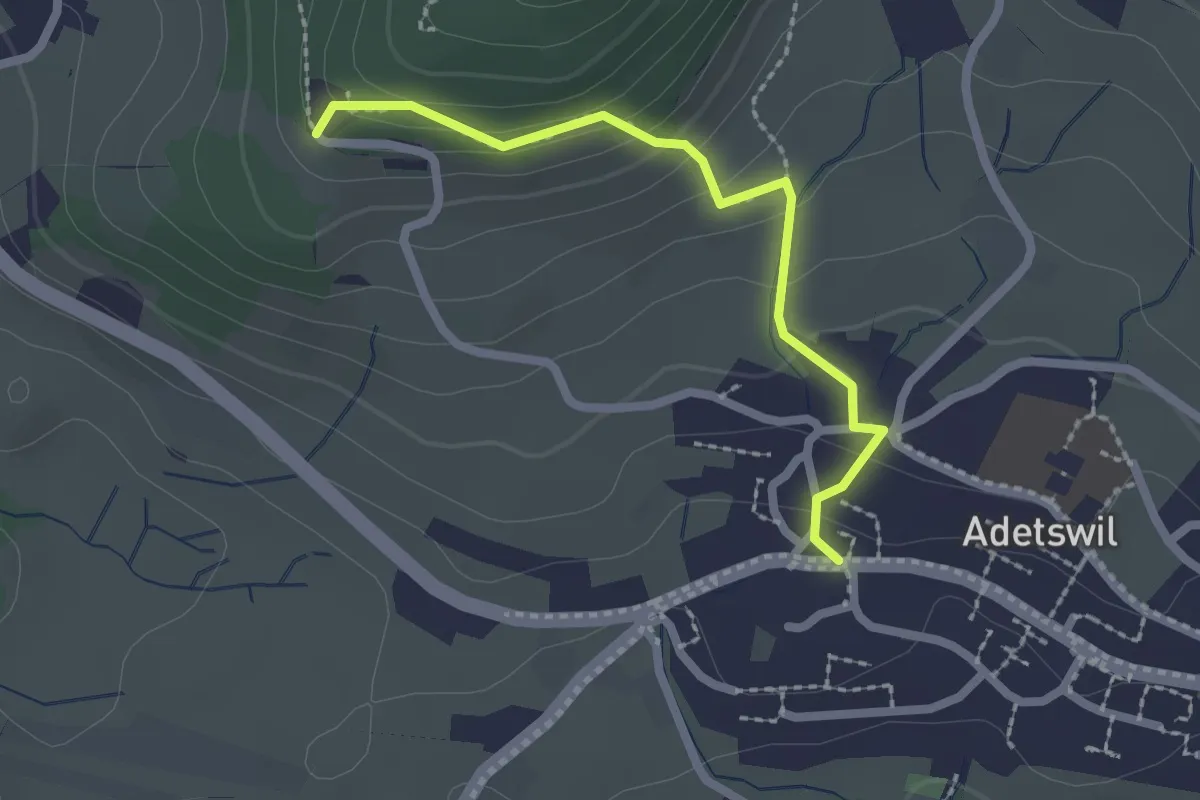
Easy · Trail
Adetswil - Rosinli
2.1 km · ↑ 129 m · 47 min · 14 km away
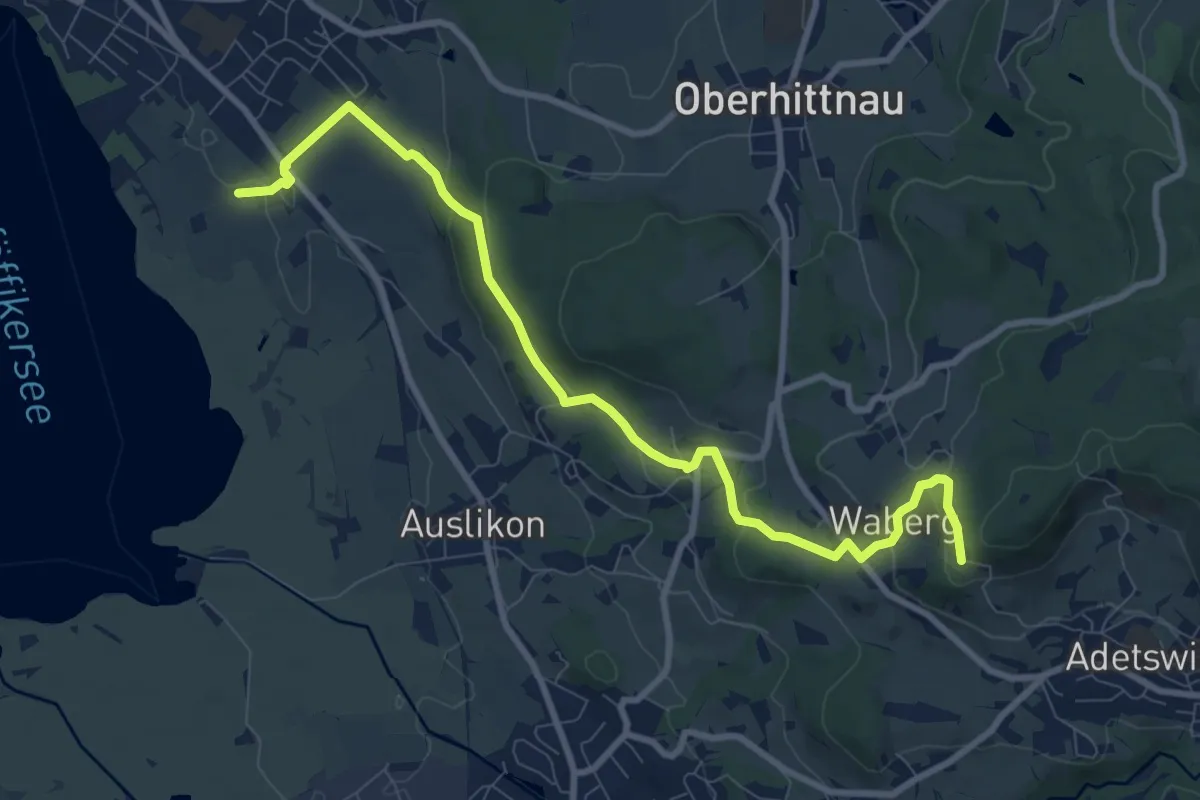
Medium · Trail
Römerkastell – Rosinli
9.9 km · ↑ 285 m · 2 h 57 min · 14 km away
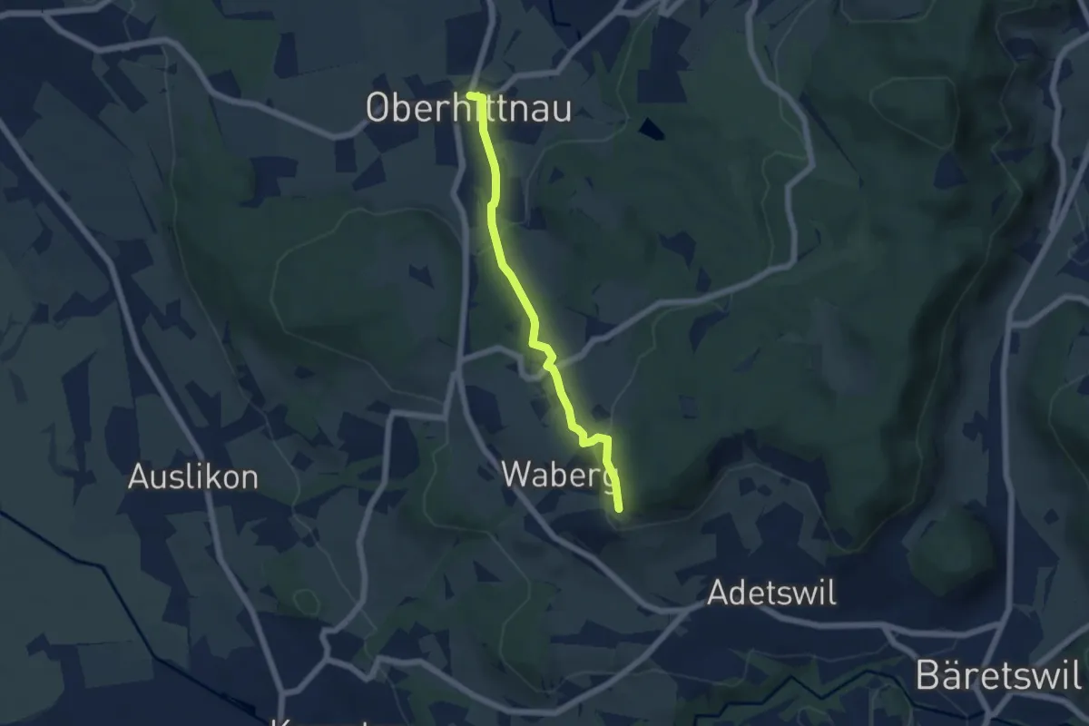
Easy · Trail
Oberhittnau - Rosinli
4.8 km · ↑ 149 m · 1 h 27 min · 14 km away
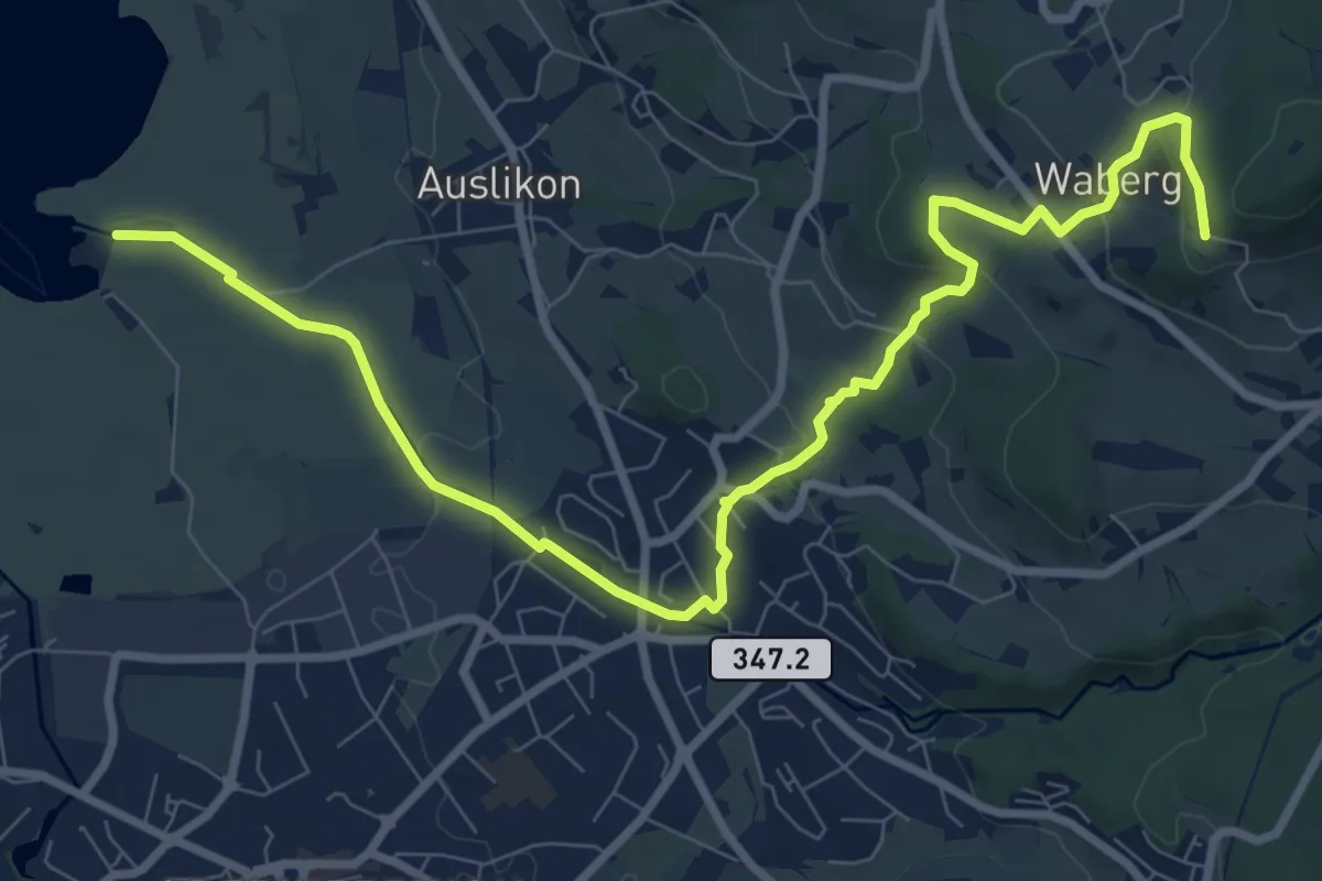
Medium · Trail
Strandbad Auslikon – Rosinli
10.7 km · ↑ 274 m · 3 h 7 min · 14 km away
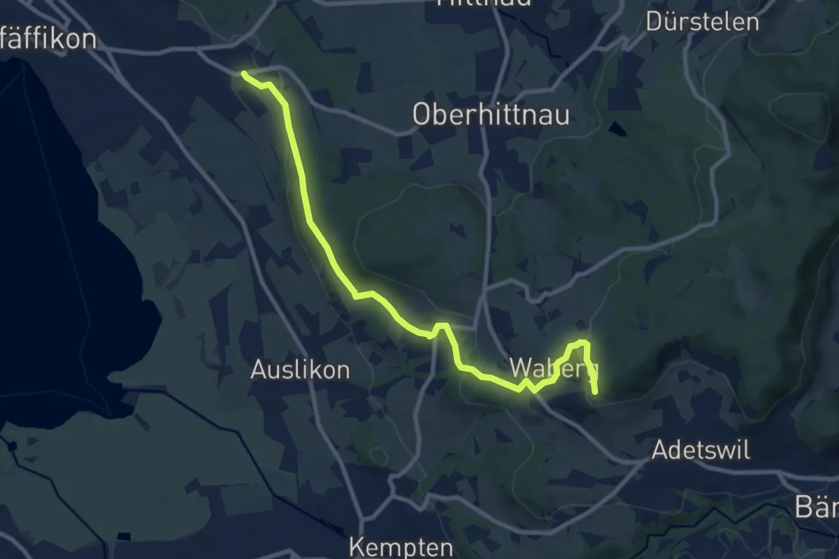
Medium · Trail
Oberwil - Rosinli
8.9 km · ↑ 244 m · 2 h 38 min · 14 km away
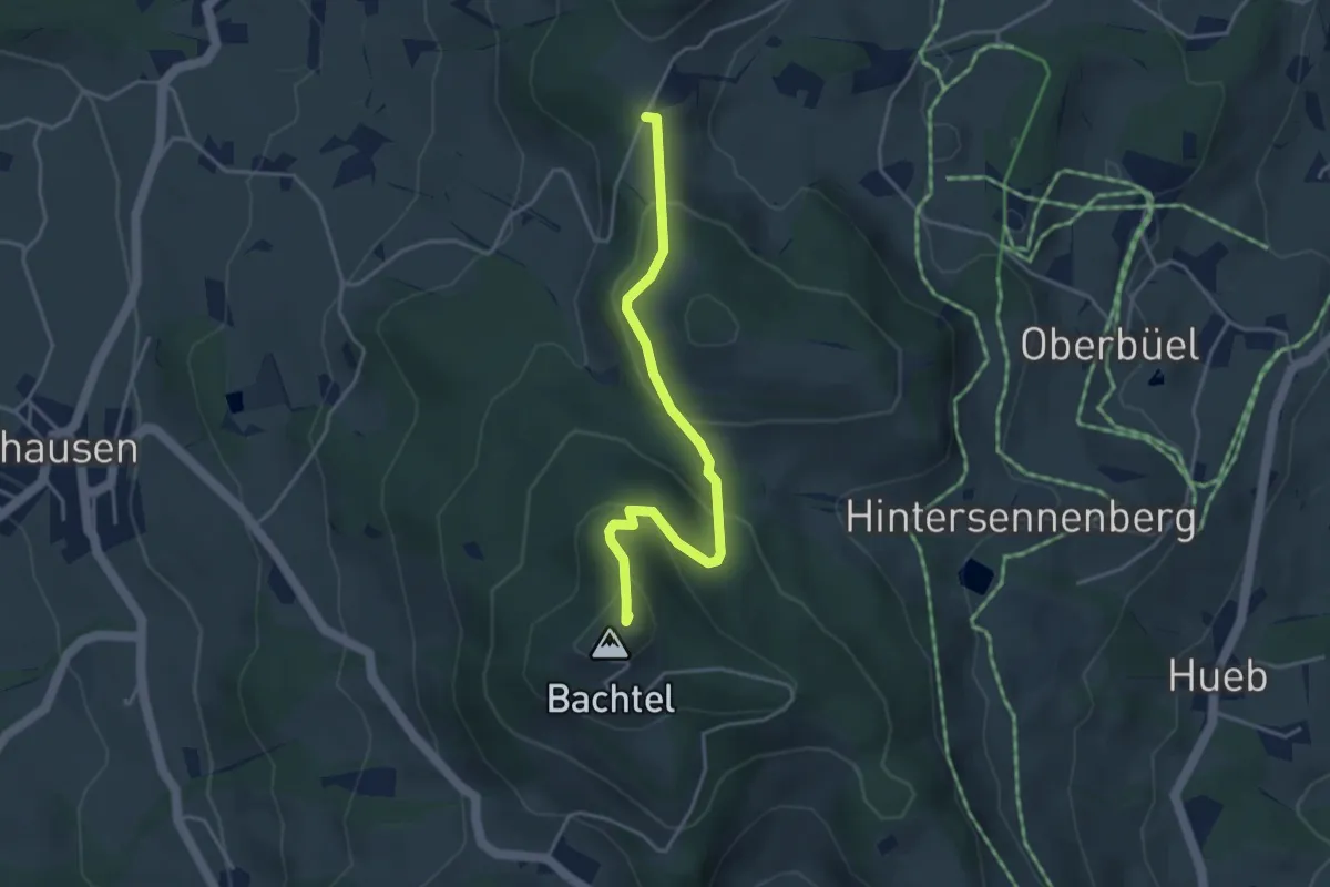
Easy · Summit
Schufelberger Egg – Bachtel
3.9 km · ↑ 190 m · 1 h 19 min · 14 km away
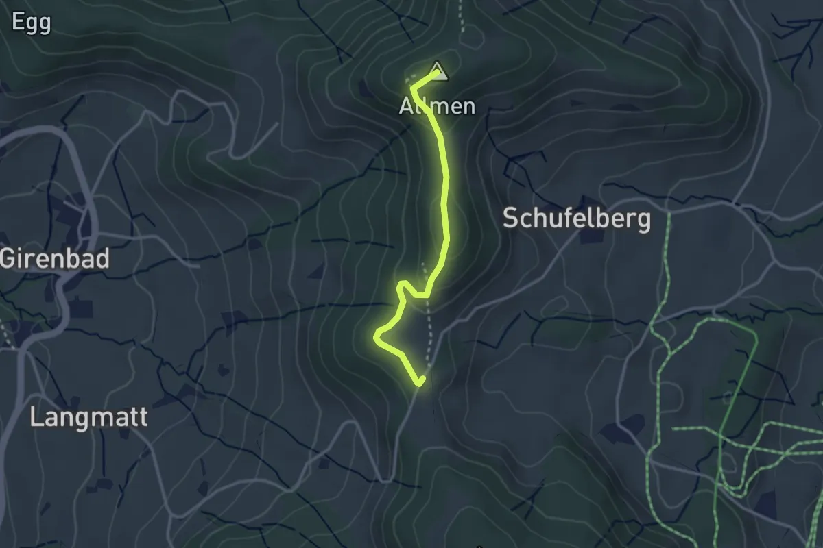
Easy · Summit
Schufelberger Egg - Allmen
2.6 km · ↑ 110 m · 51 min · 14 km away
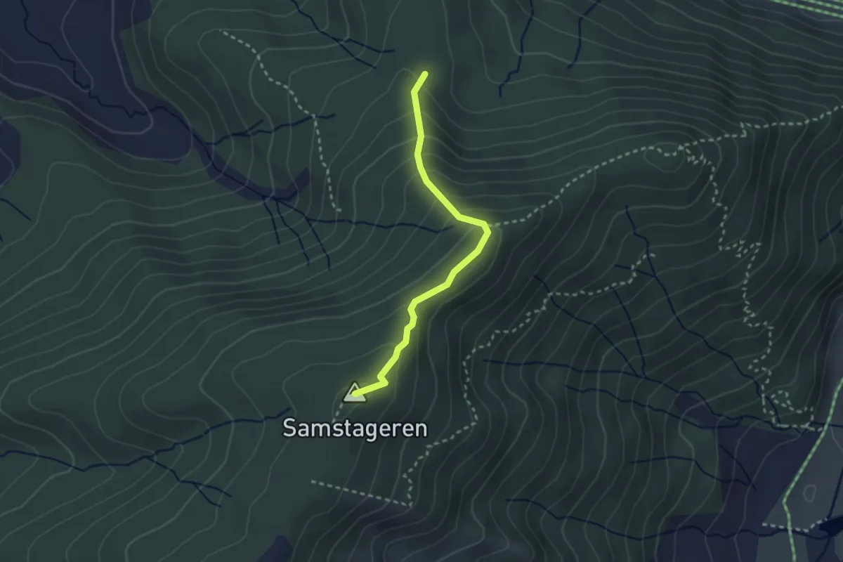
Medium · Summit
Schwyzeren – Windwurf
2.5 km · ↑ 209 m · 1 h 3 min · 14 km away
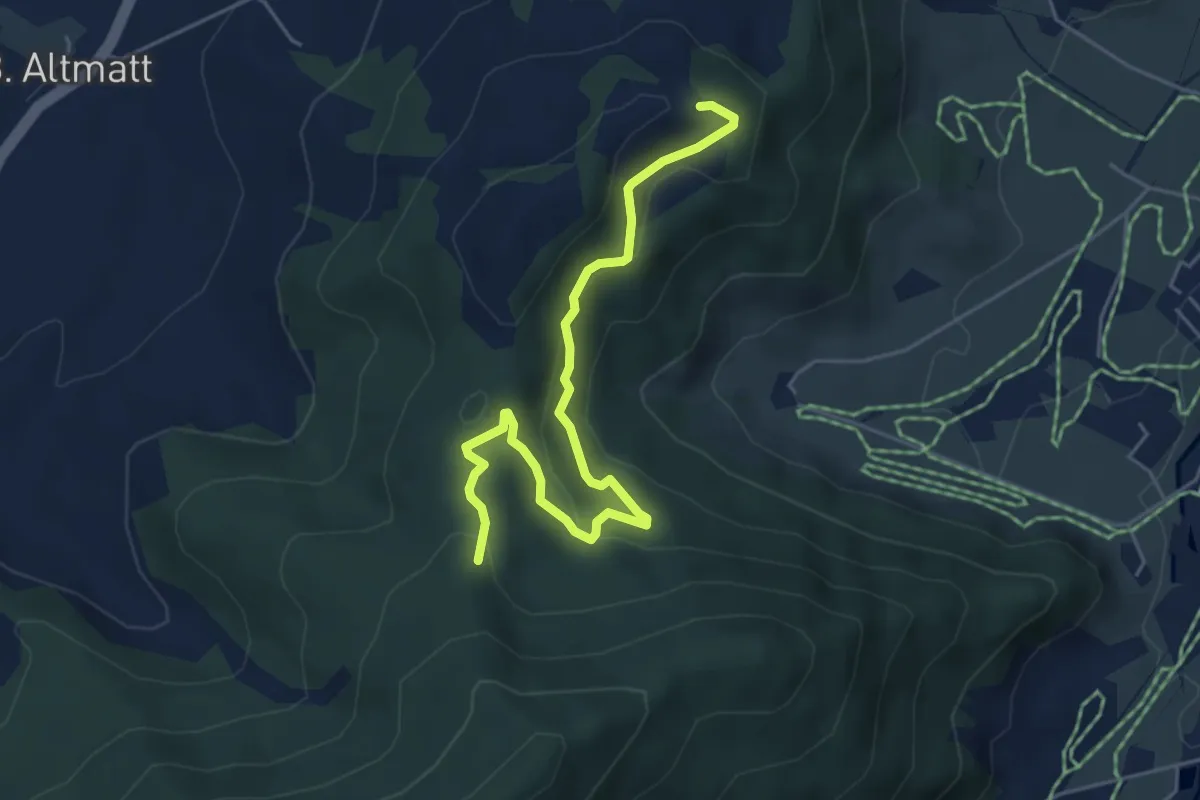
Easy · Trail
Umleitung Chätzer - Schwyzeren bei Schiessgefahr
5.3 km · ↑ 231 m · 1 h 45 min · 14 km away
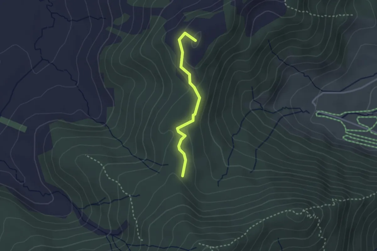
Easy · Summit
Hundwileren – Schwyzeren
2.3 km · ↑ 59 m · 40 min · 14 km away
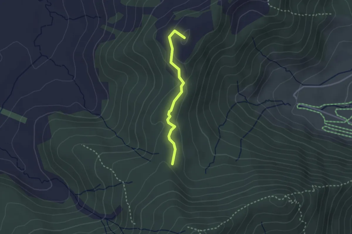
Easy · Summit
Hundwileren – Schwyzeren
2.2 km · ↑ 62 m · 39 min · 14 km away
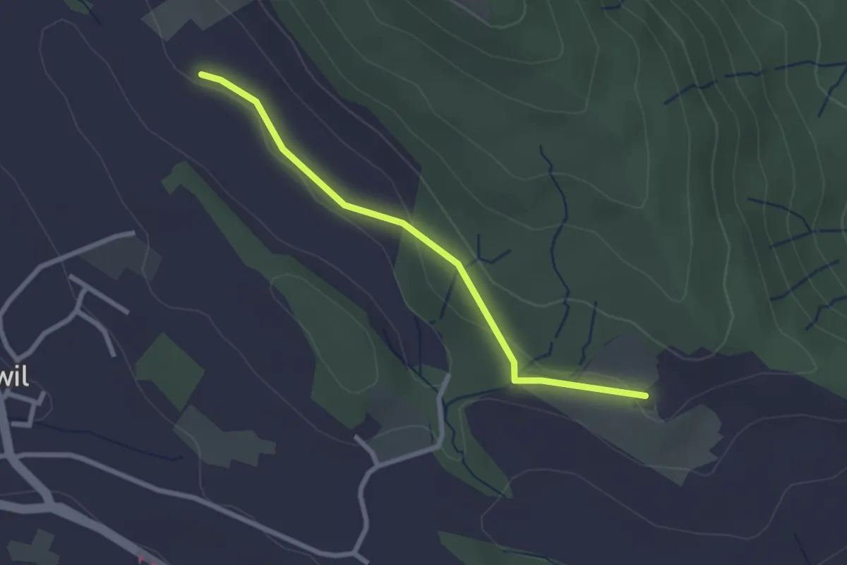
Easy · Trail
Schweikhof – Husertal
2.4 km · ↑ 58 m · 42 min · 14 km away
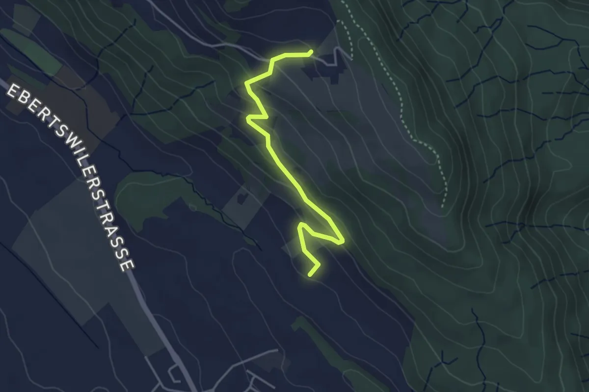
Easy · Trail
Husertal – Ober Albis
3.5 km · ↑ 154 m · 1 h 9 min · 14 km away
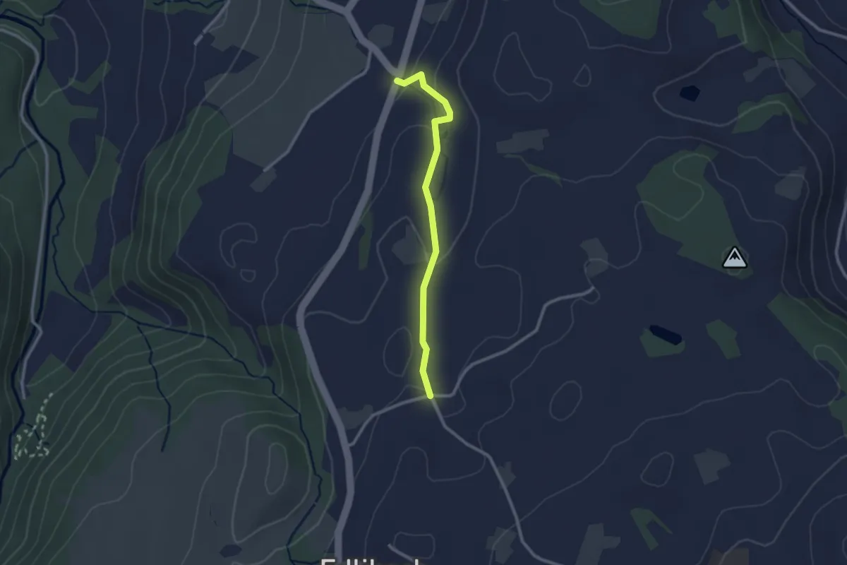
Easy · Trail
Lüthärtigen - Hinterburg-Müll
2.3 km · ↑ 62 m · 40 min · 14 km away
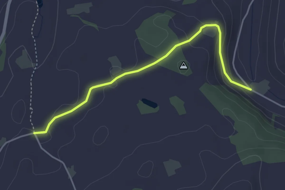
Easy · Trail
Lüthärtigen - Erlenbach
3.7 km · ↑ 97 m · 1 h 5 min · 14 km away
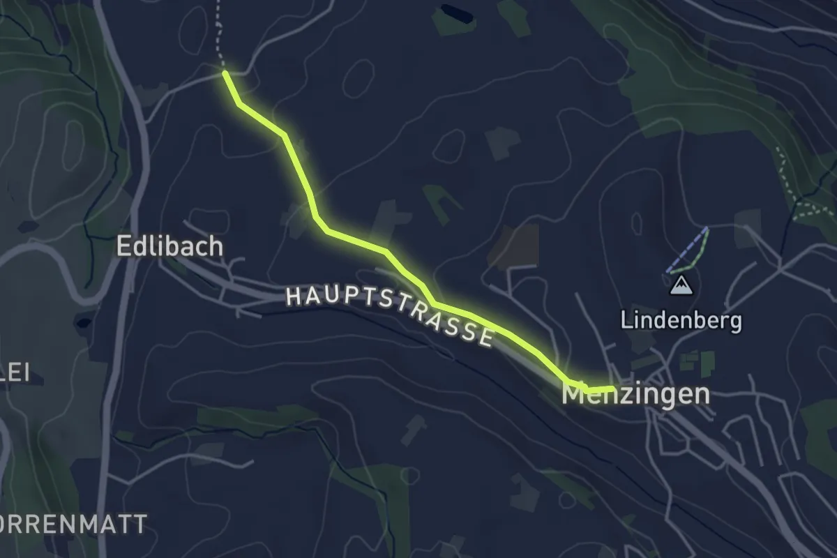
Easy · Trail
Lüthärtigen - Menzingen
3.2 km · ↑ 83 m · 57 min · 14 km away
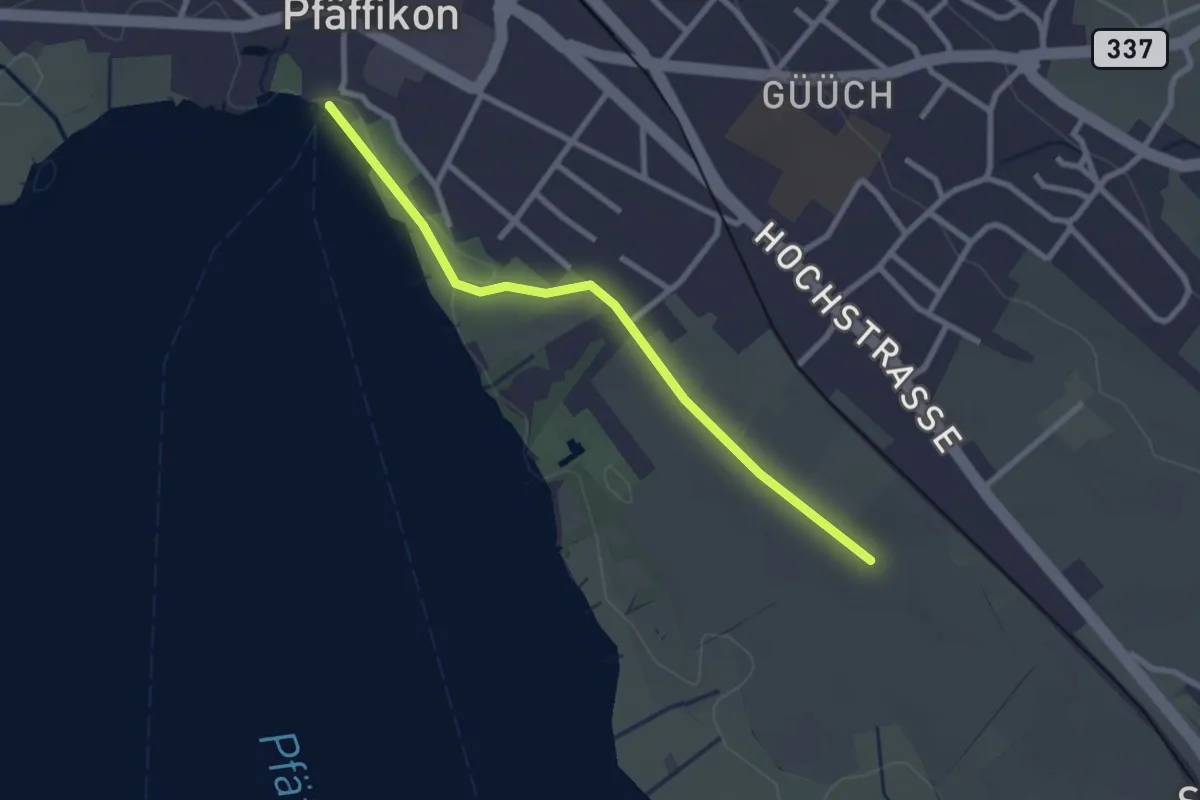
Easy · Trail
Pfäffikersee – Römerkastell
2.6 km · ↑ 9 m · 37 min · 14 km away
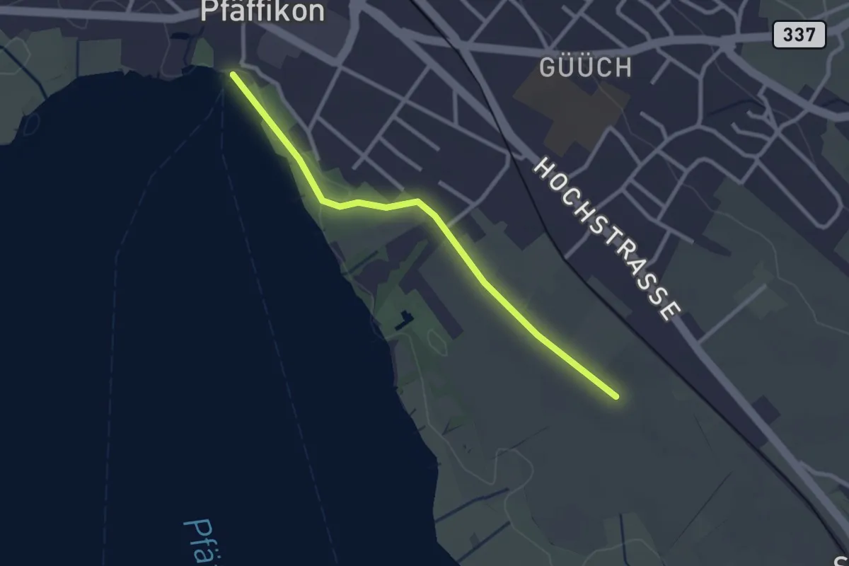
Easy · Pilgrim path
Fryheitsweg
1.3 km · ↑ 0 m · 19 min · 14 km away
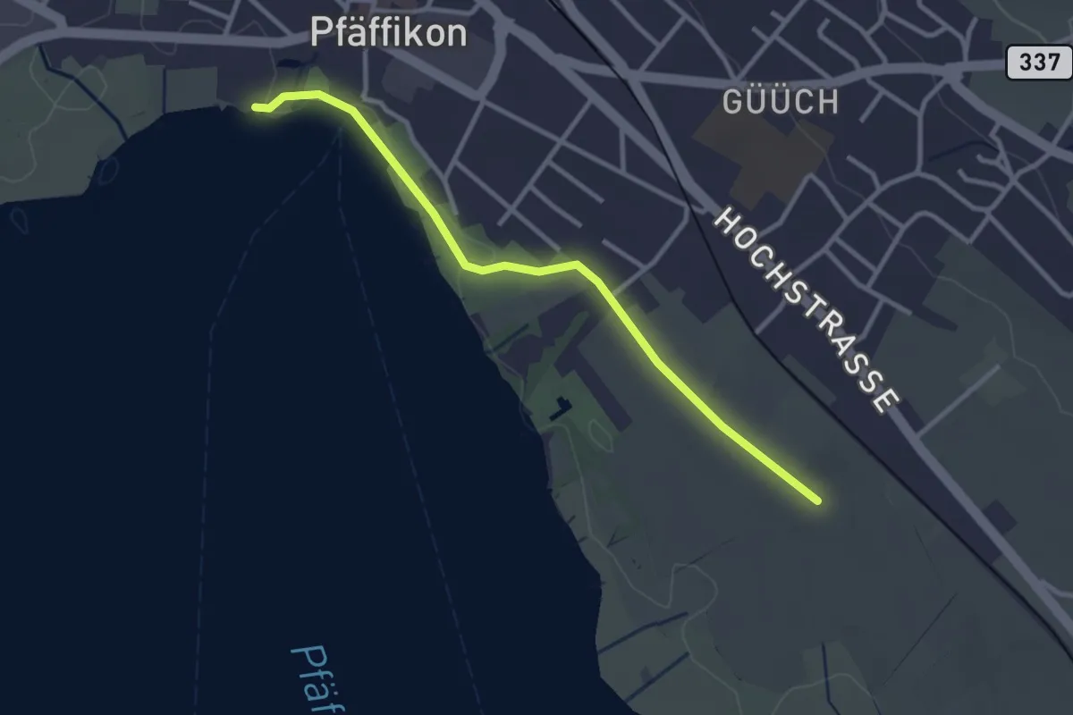
Easy · Trail
Via Natura
3.0 km · ↑ 9 m · 43 min · 14 km away
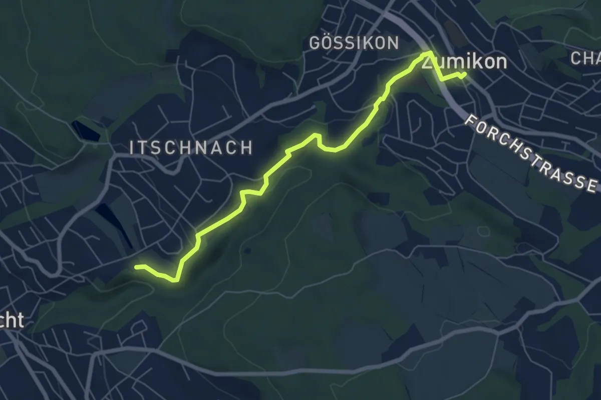
Easy · Trail
Schübelweiher - Zumikon
6.3 km · ↑ 177 m · 1 h 53 min · 14 km away
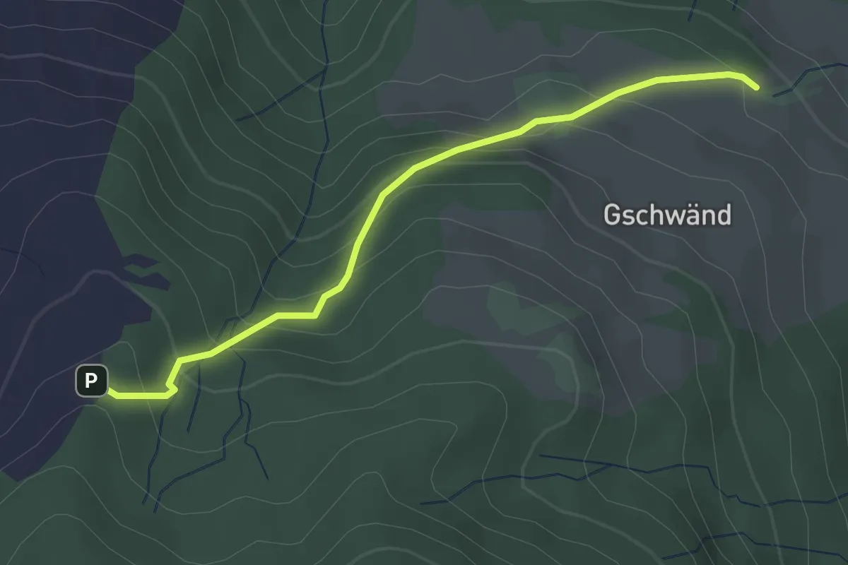
Easy · Trail
Gschwänd - Ruchweid
2.9 km · ↑ 220 m · 1 h 10 min · 14 km away
Easy · Trail
Grabenegg - Ruchweid
2.3 km · ↑ 213 m · 1 h 1 min · 14 km away
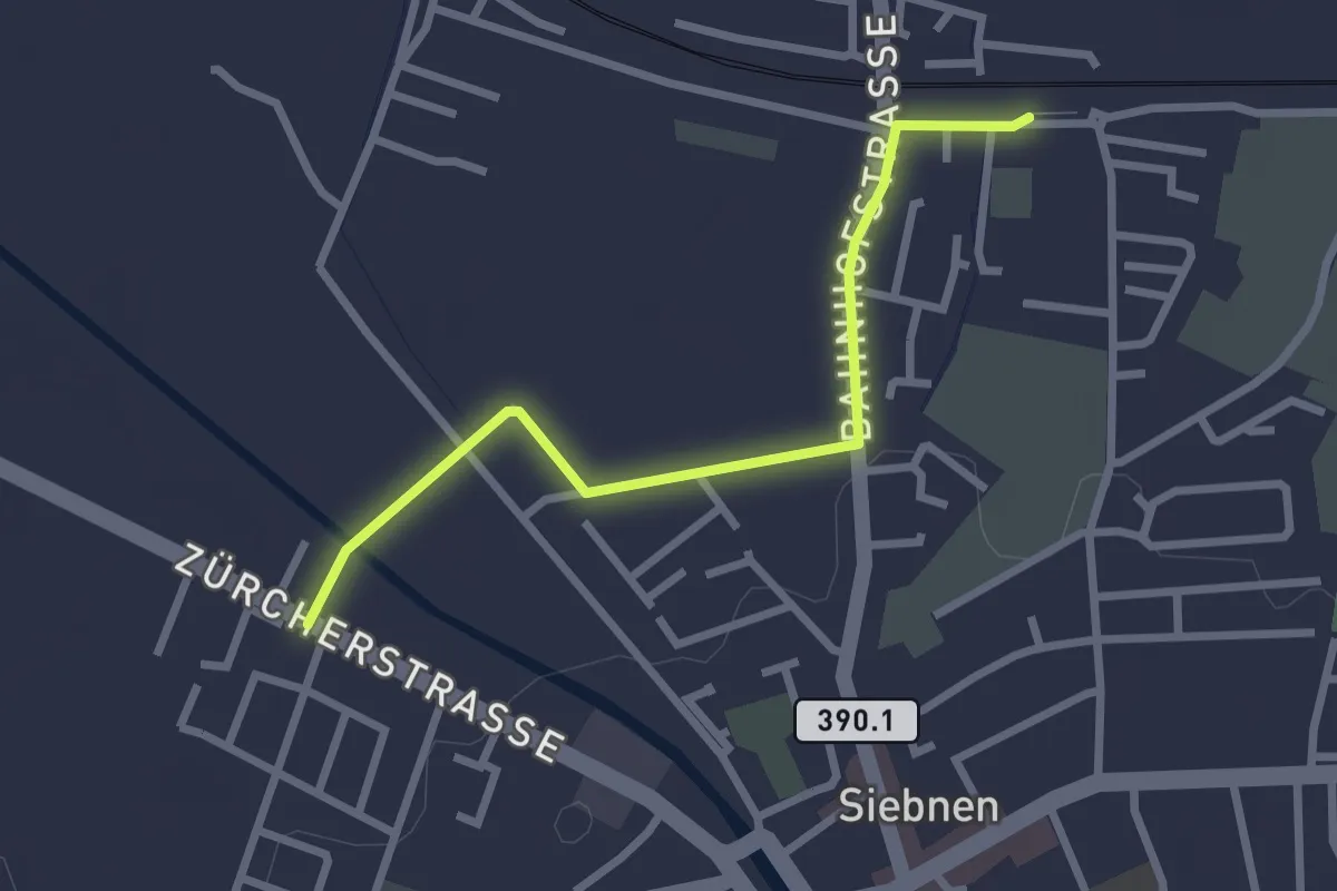
Easy · Trail
Siebnen-Wangen Bhf - Stegweg
2.6 km · ↑ 4 m · 37 min · 14 km away
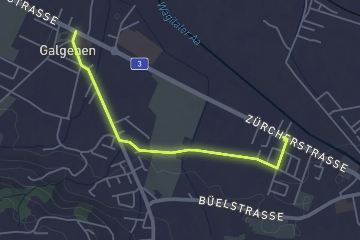
Easy · Trail
Galgenen - Stegweg
3.4 km · ↑ 13 m · 50 min · 14 km away
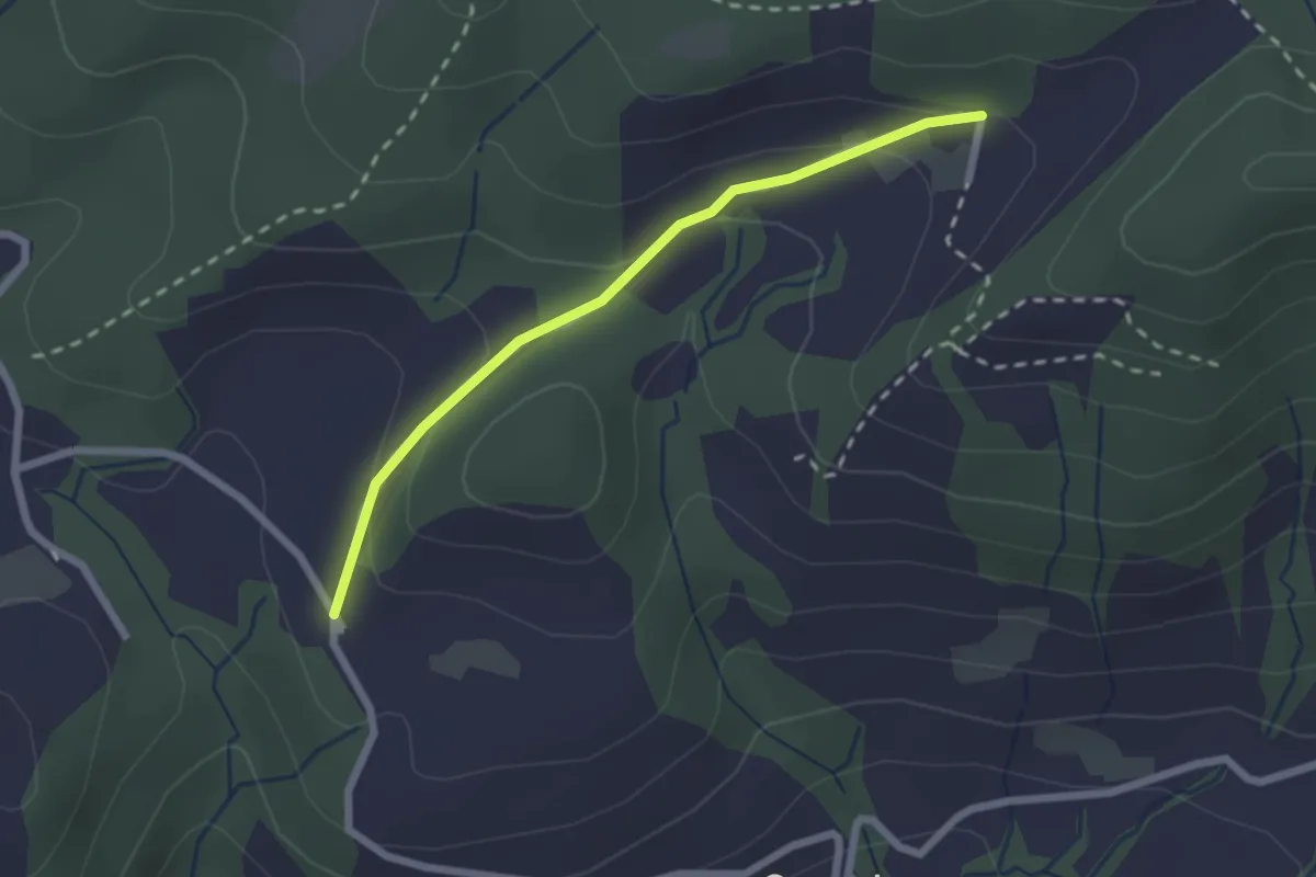
Easy · Trail
Hintertann – Hinterschneit
2.1 km · ↑ 98 m · 43 min · 14 km away
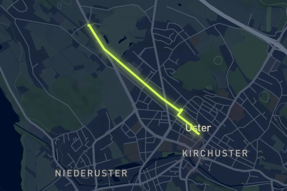
Easy · Trail
Werrikon - Uster
4.0 km · ↑ 8 m · 57 min · 14 km away
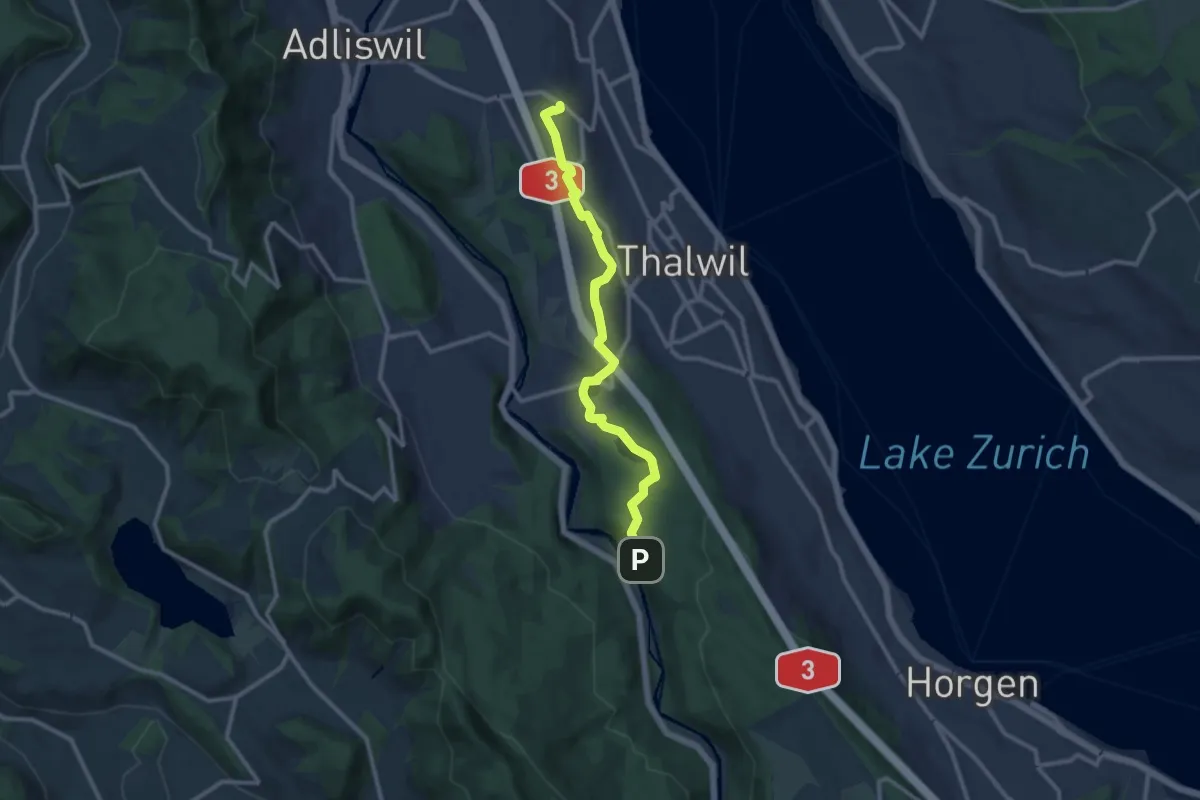
Medium · Trail
Nidelbad – Schlegeltobel
10.7 km · ↑ 156 m · 2 h 52 min · 14 km away
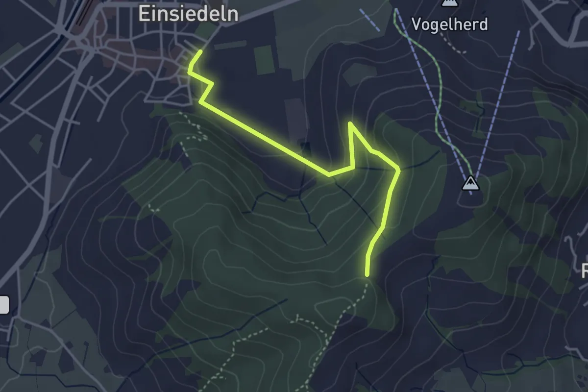
Easy · Trail
Kloster Einsiedeln - Friherrenberg
3.7 km · ↑ 179 m · 1 h 16 min · 14 km away
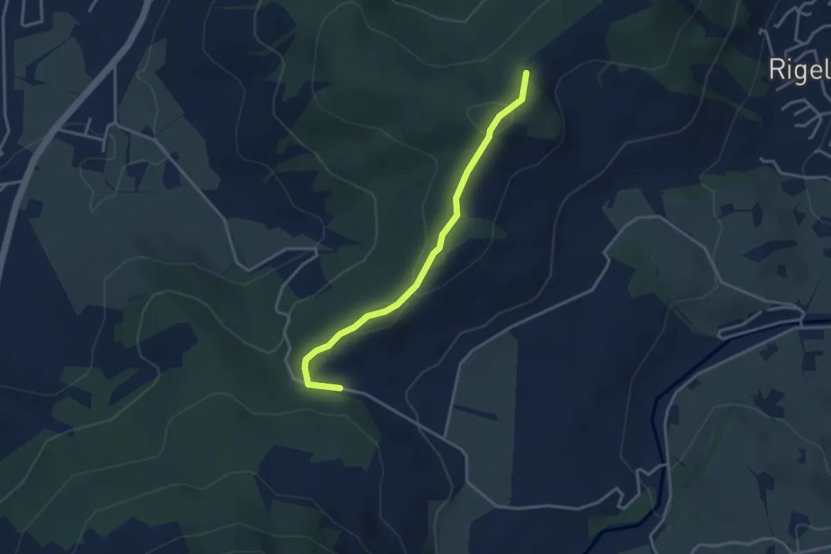
Easy · Trail
Friherrenberg - Chälen
3.0 km · ↑ 117 m · 57 min · 14 km away
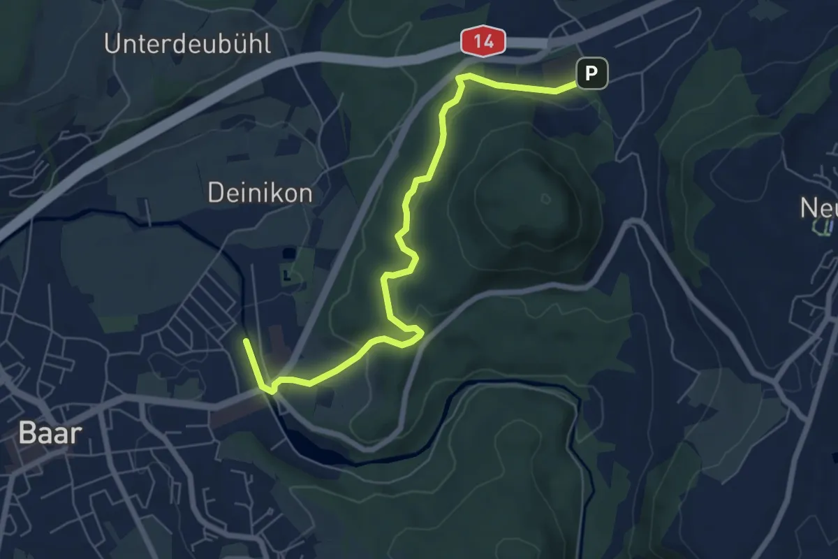
Easy · Trail
Baar - Walterswil
6.6 km · ↑ 239 m · 2 h 5 min · 14 km away
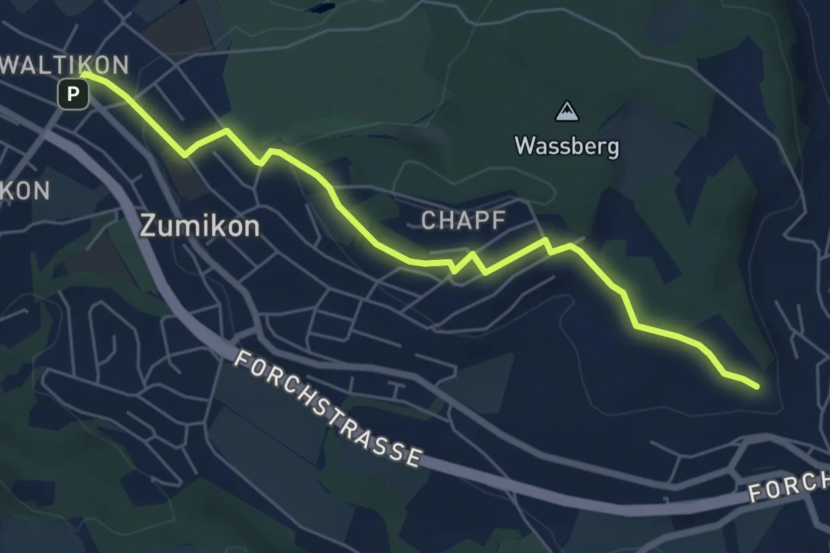
Easy · Trail
Waltikon – Wehrmännerdenkmal
5.9 km · ↑ 149 m · 1 h 43 min · 14 km away
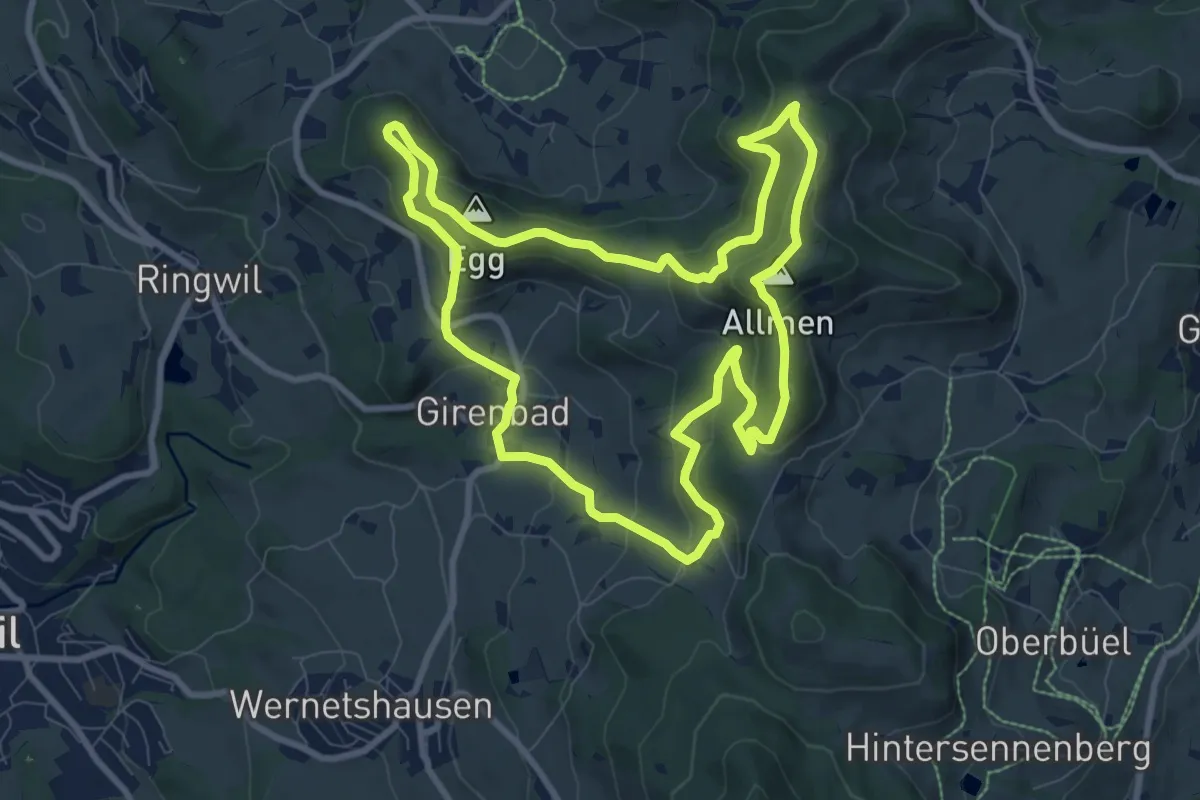
Medium · Summit
Rundweg 4-Quellen
8.9 km · ↑ 424 m · 3 h 9 min · 14 km away
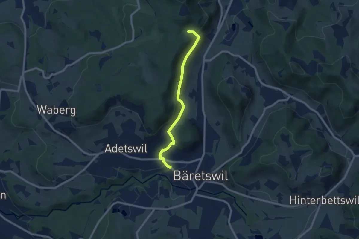
Easy · Trail
Bäretswil Station – Hofschür
5.0 km · ↑ 197 m · 1 h 37 min · 14 km away
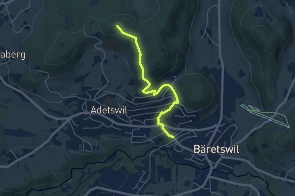
Easy · Trail
Bäretswil Station – Türli
4.0 km · ↑ 165 m · 1 h 18 min · 14 km away
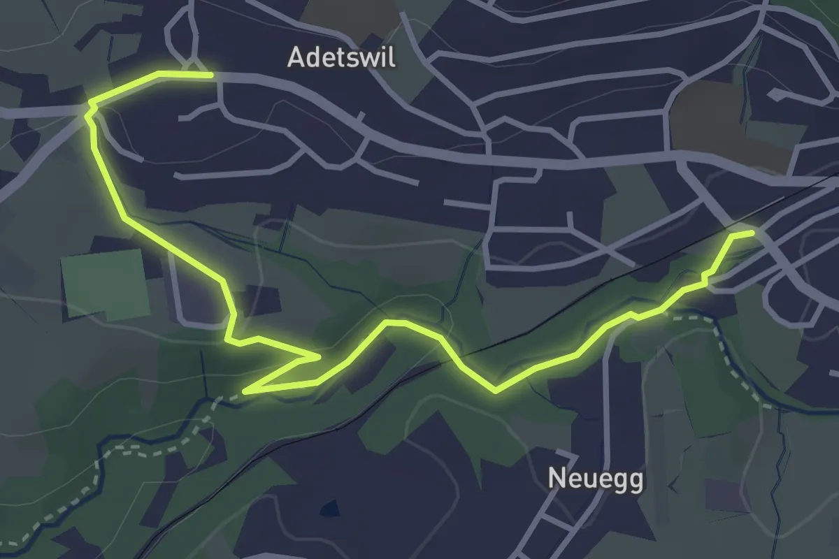
Easy · Trail
Bäretswil Station – Adetswil
3.9 km · ↑ 73 m · 1 h 4 min · 14 km away
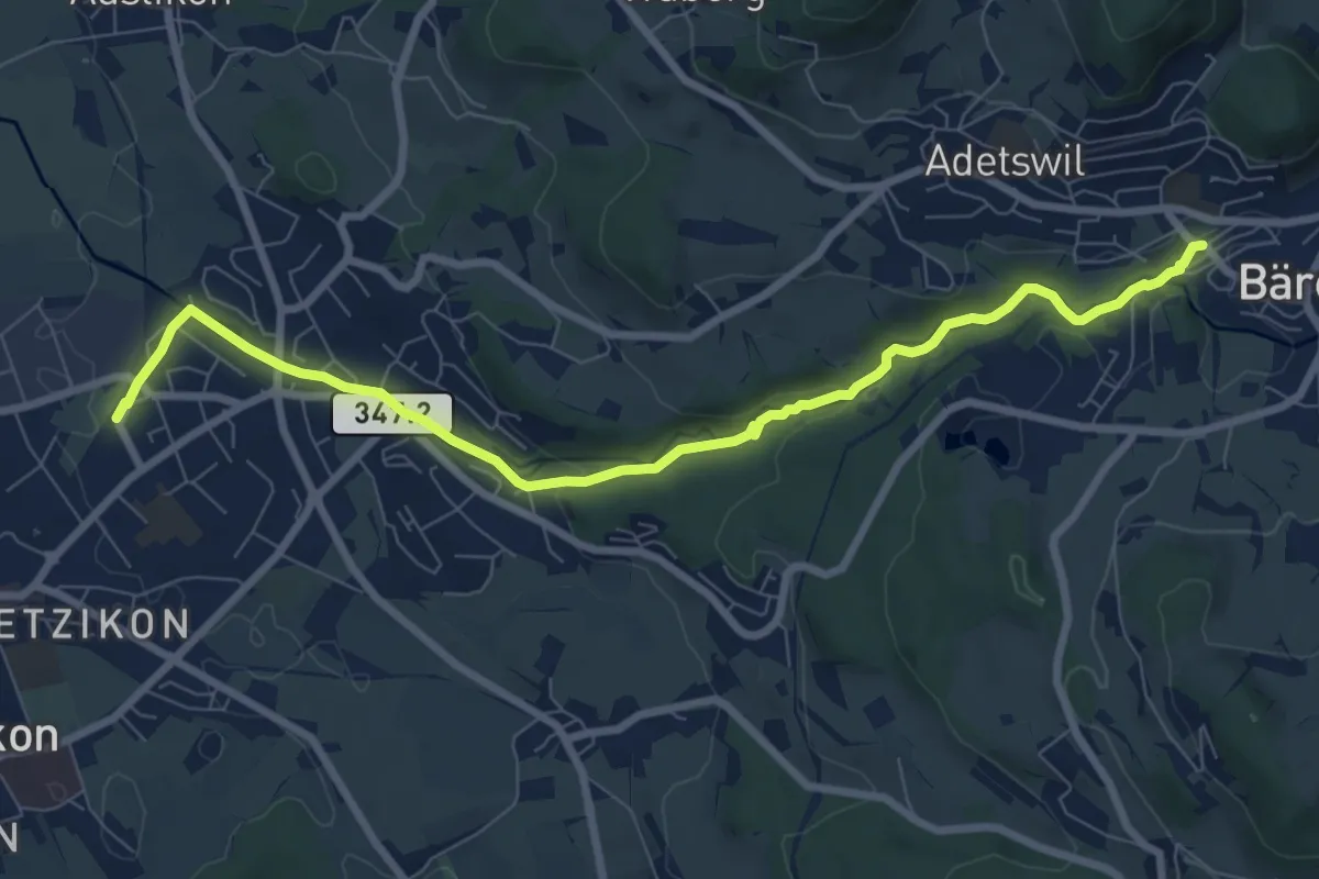
Medium · Trail
Kempten – Bäretswil Station
8.7 km · ↑ 162 m · 2 h 25 min · 14 km away
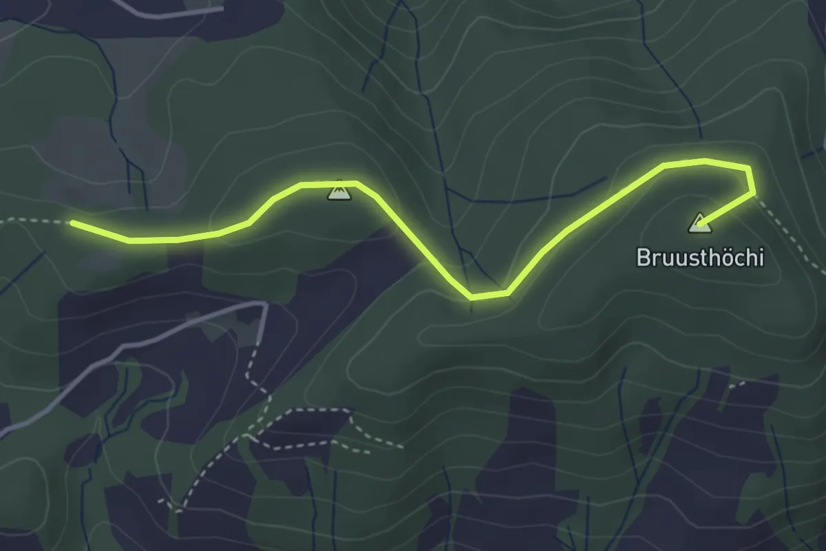
Easy · Summit
Mangelihöche - Chnollenweid Sätteli
3.7 km · ↑ 142 m · 1 h 11 min · 14 km away
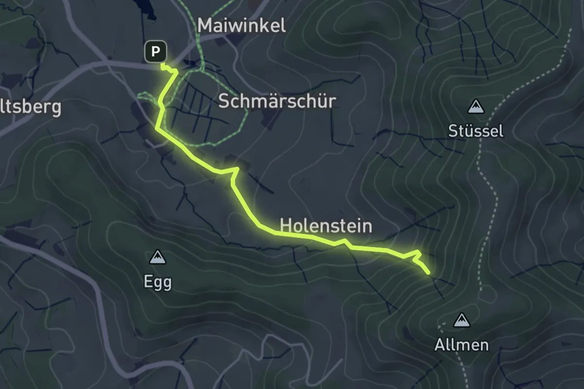
Easy · Trail
Stockrüti - Täuferhöhle
3.8 km · ↑ 180 m · 1 h 17 min · 14 km away
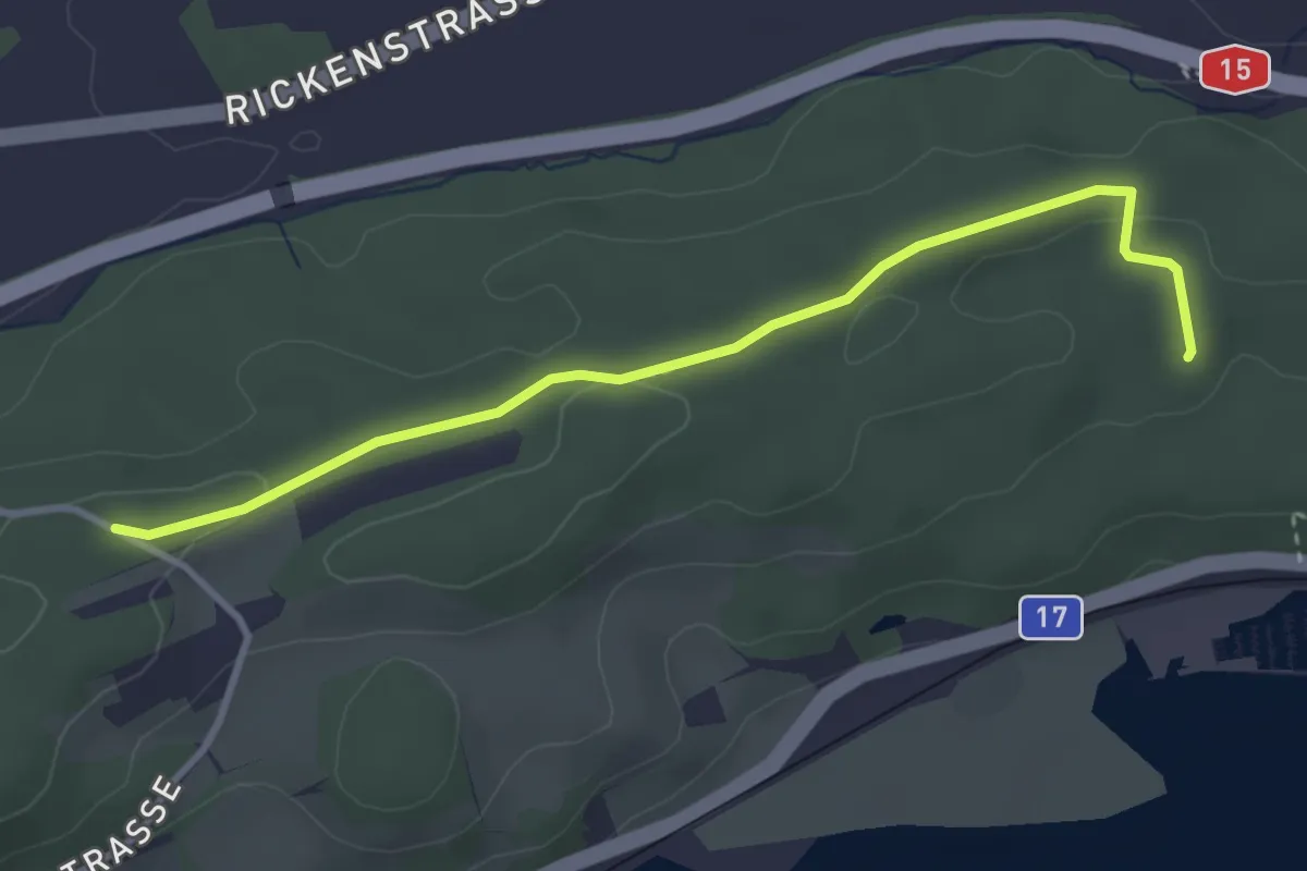
Easy · Trail
Mooshöchi - Katzenried
3.4 km · ↑ 35 m · 53 min · 14 km away
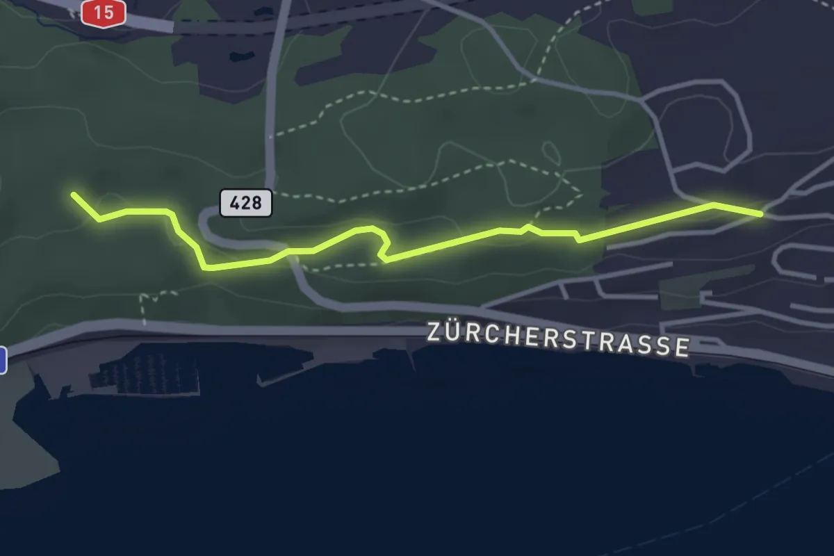
Easy · Trail
Katzenried - Chürzi
3.3 km · ↑ 84 m · 57 min · 14 km away