Trails near Stäfa
621 hikes starting within 15 km, nearest first.
Nearest first, page 12 of 13
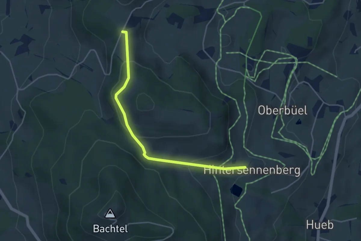
Easy · Trail
Schufelberger Egg – Hinterer Sennenberg
3.6 km · ↑ 141 m · 1 h 10 min · 14 km away
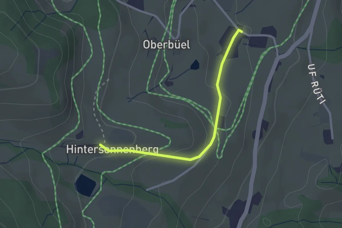
Easy · Trail
Hinterer Sennenberg – Büel
2.1 km · ↑ 83 m · 40 min · 14 km away
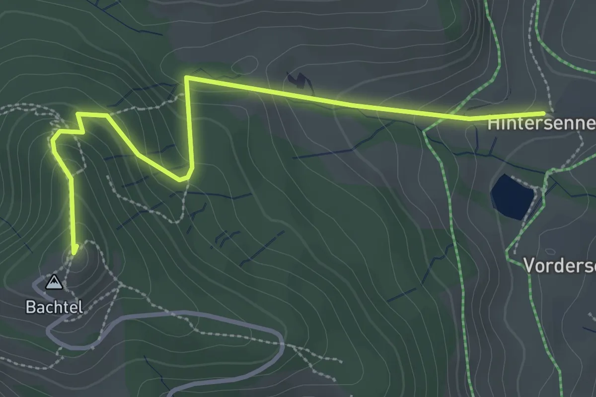
Easy · Summit
Hinterer Sennenberg – Bachtel
3.2 km · ↑ 193 m · 1 h 11 min · 14 km away
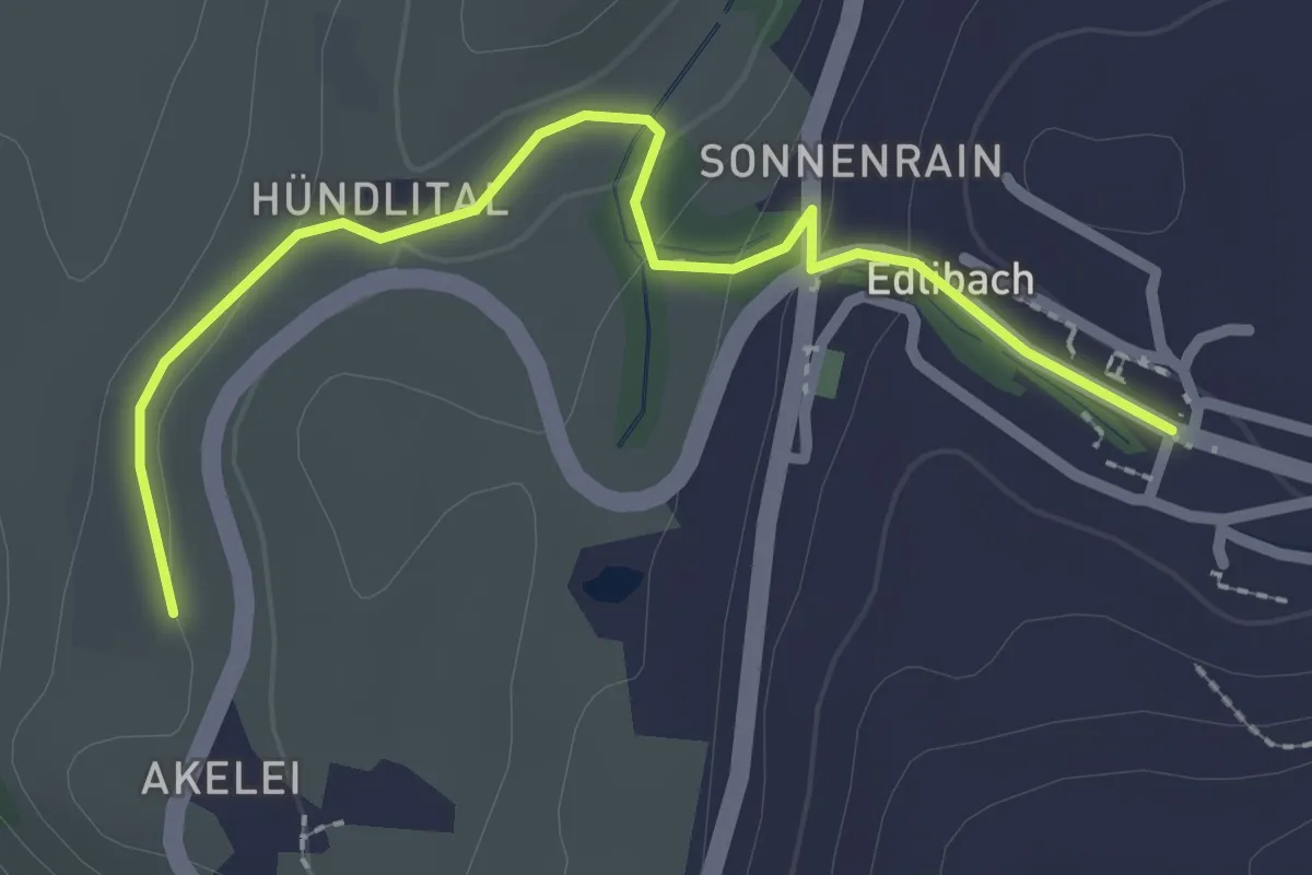
Easy · Trail
Wulfligen - Edlibach
2.5 km · ↑ 76 m · 46 min · 14 km away
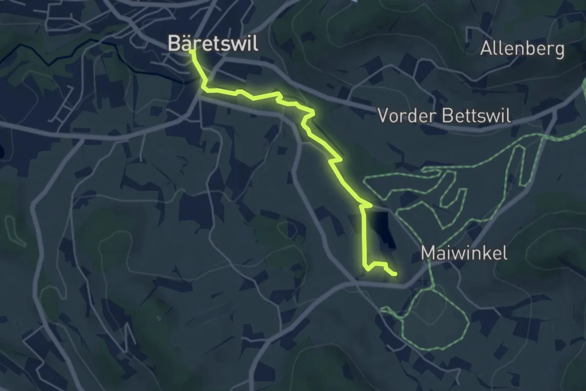
Easy · Trail
Bäretswil – Stockrüti
4.3 km · ↑ 85 m · 1 h 12 min · 14 km away
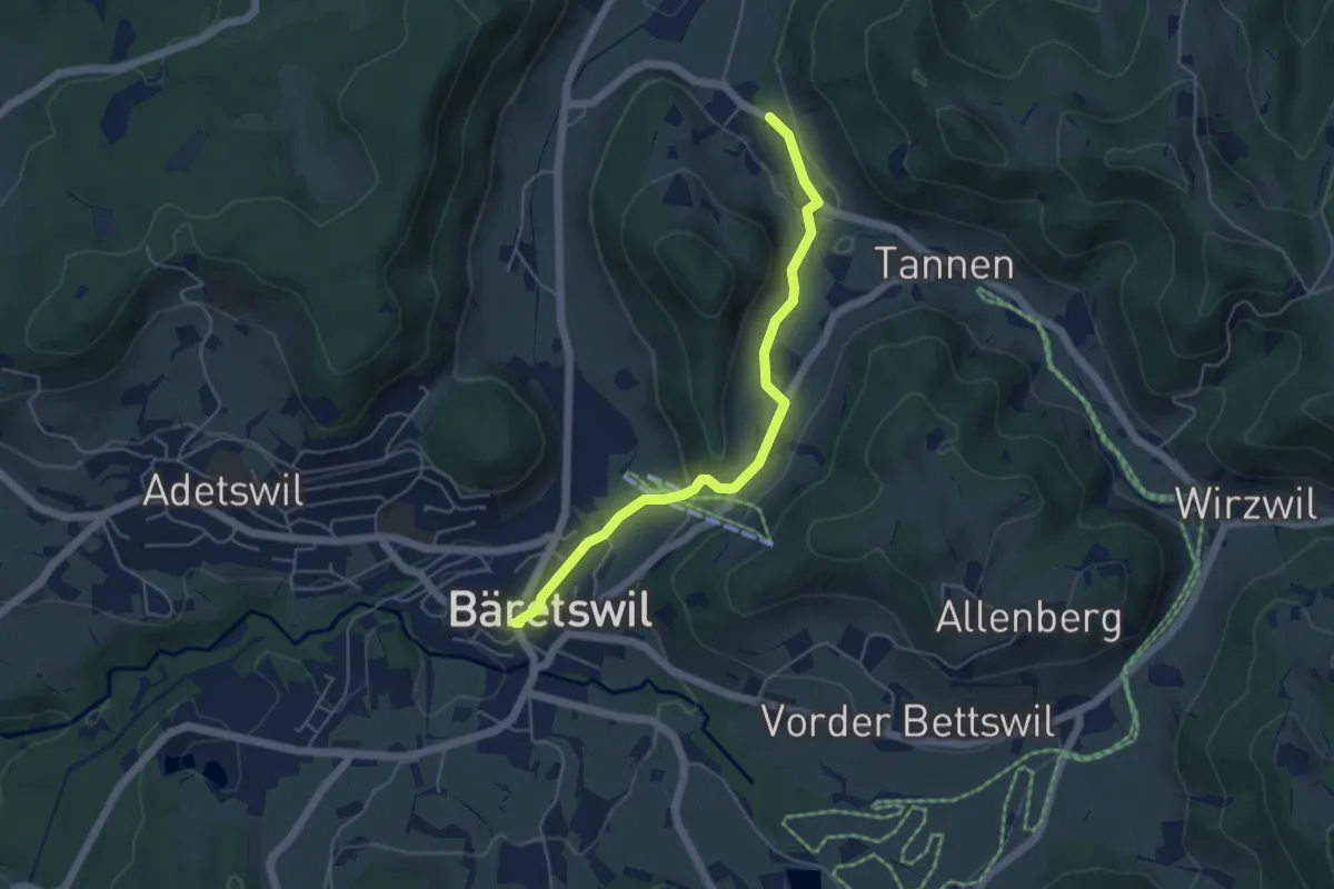
Easy · Trail
Bäretswil - Rüetswil - Hinterburg
4.8 km · ↑ 135 m · 1 h 25 min · 14 km away
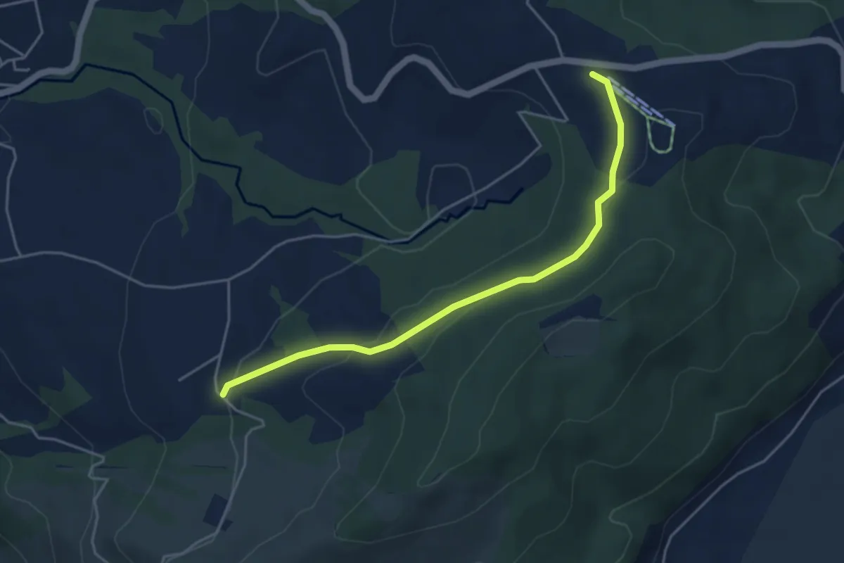
Easy · Trail
Raten - Waldschlagchrütz
4.3 km · ↑ 156 m · 1 h 21 min · 14 km away
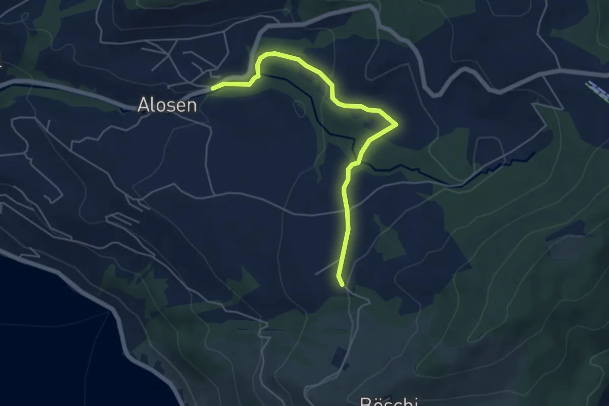
Easy · Trail
Waldschlagchrüz - Alosen
4.8 km · ↑ 102 m · 1 h 21 min · 14 km away
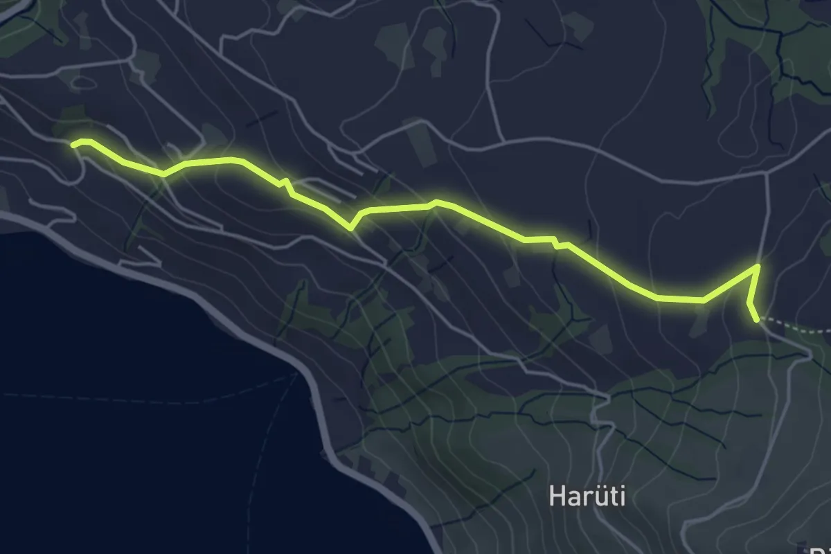
Easy · Trail
Bättenbüel – Waldschlagchrüz
4.7 km · ↑ 237 m · 1 h 38 min · 14 km away
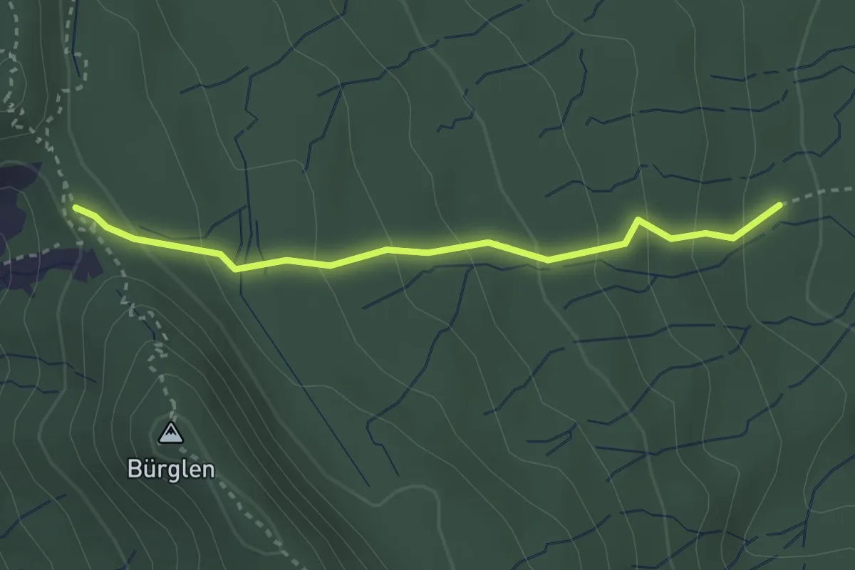
Easy · Summit
Schnabellücke – Tannboden
2.8 km · ↑ 191 m · 1 h 4 min · 14 km away
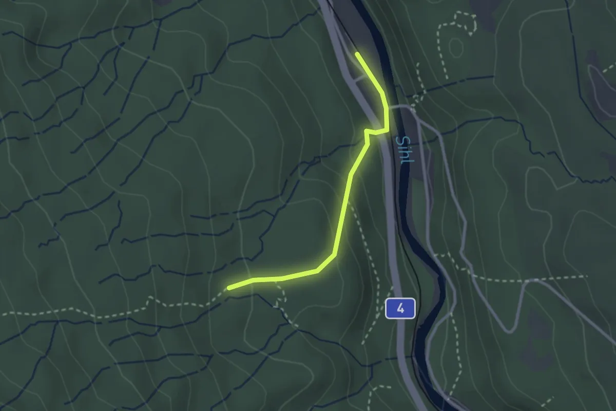
Easy · Trail
Tannboden – Sihlwald
2.3 km · ↑ 123 m · 48 min · 14 km away
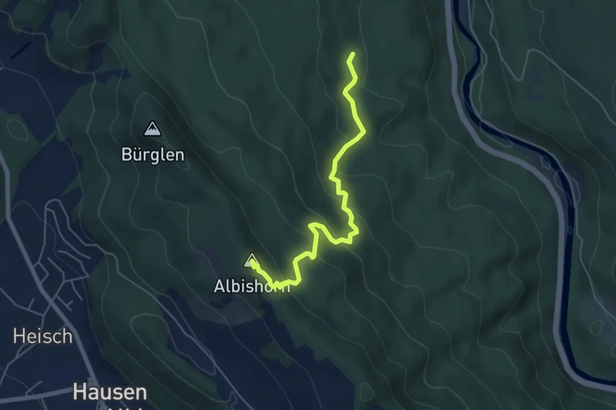
Medium · Summit
Tannboden – Albishorn
4.8 km · ↑ 324 m · 1 h 50 min · 14 km away
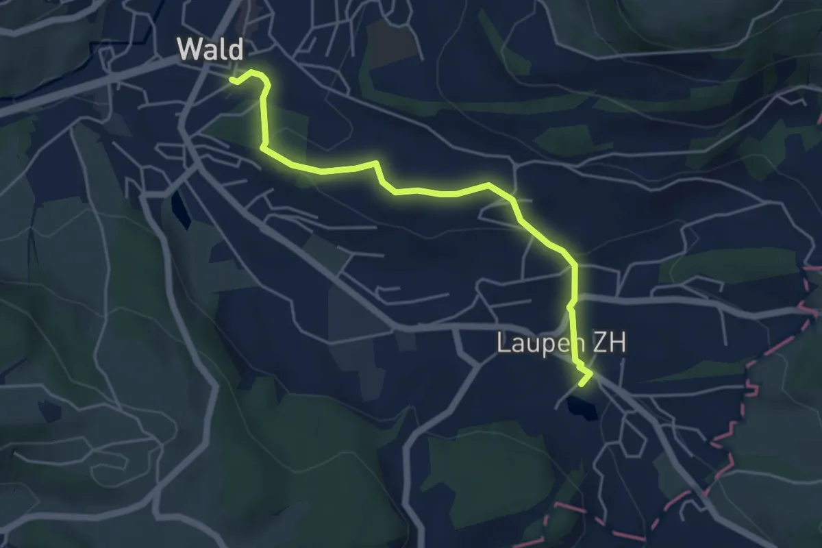
Easy · Trail
Laupen – Wald
4.2 km · ↑ 133 m · 1 h 17 min · 14 km away
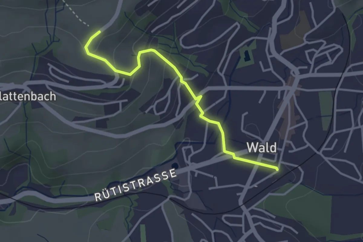
Easy · Trail
Tänler – Wald
3.1 km · ↑ 148 m · 1 h 3 min · 14 km away
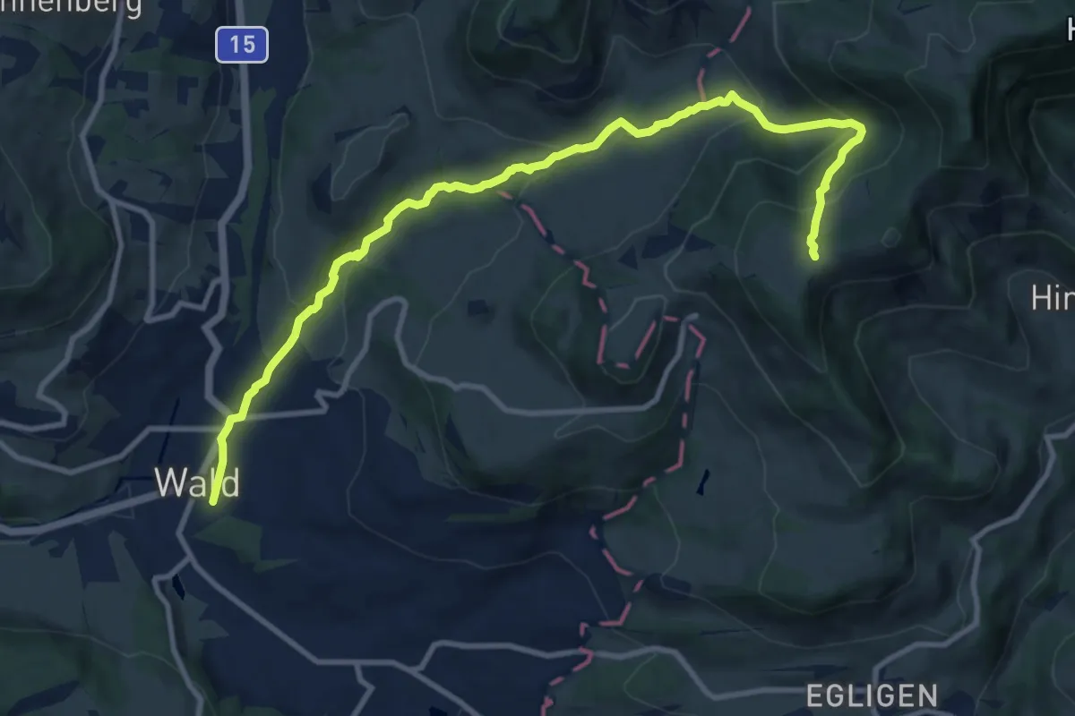
Medium · Cabin
Wald - Farneralp
11.4 km · ↑ 560 m · 3 h 54 min · 14 km away
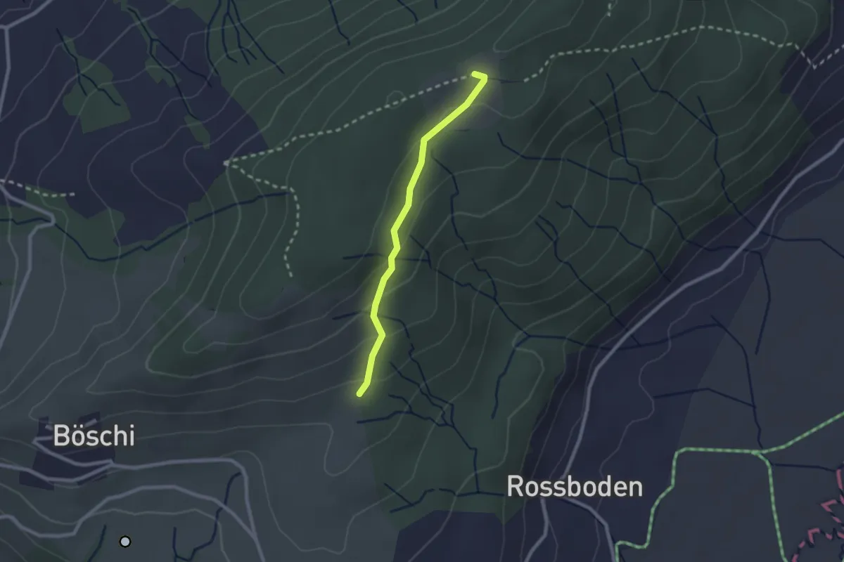
Easy · Trail
Böschirain - St. Jost
2.0 km · ↑ 91 m · 40 min · 14 km away
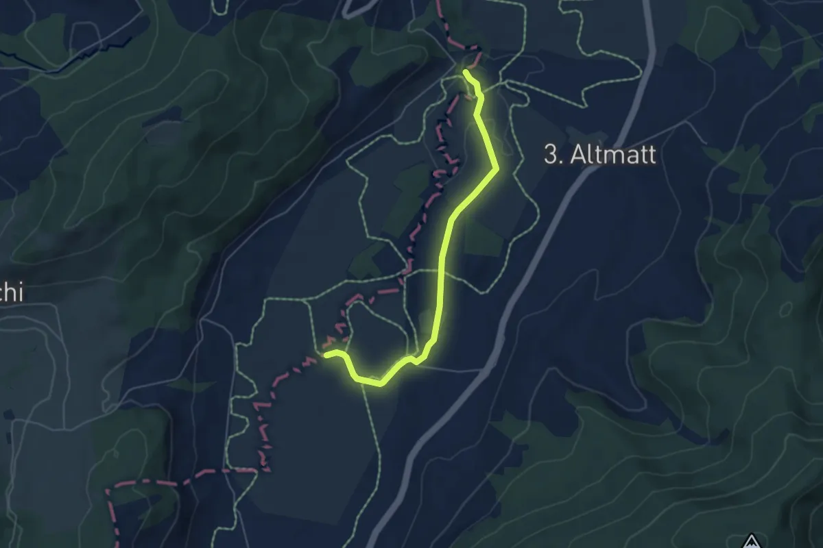
Easy · Trail
Bibersteg – Bubrugg
5.0 km · ↑ 45 m · 1 h 16 min · 14 km away
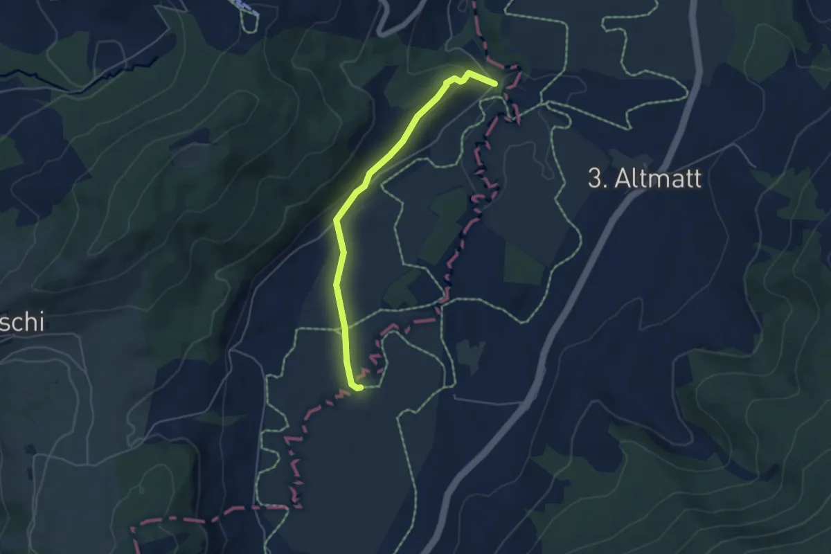
Easy · Trail
Bibersteg - Bubrugg
4.5 km · ↑ 140 m · 1 h 21 min · 14 km away
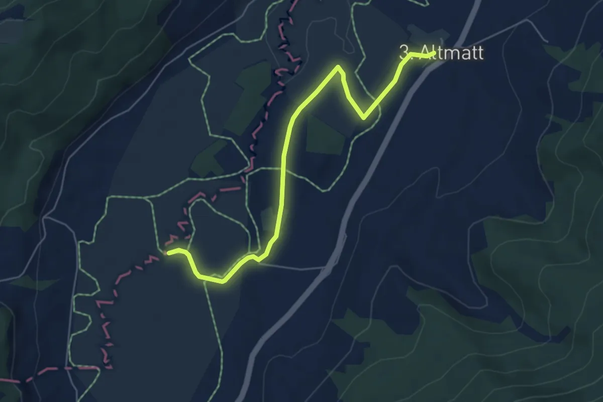
Easy · Trail
Dritte Altmatt - Bubrugg
5.6 km · ↑ 37 m · 1 h 24 min · 14 km away
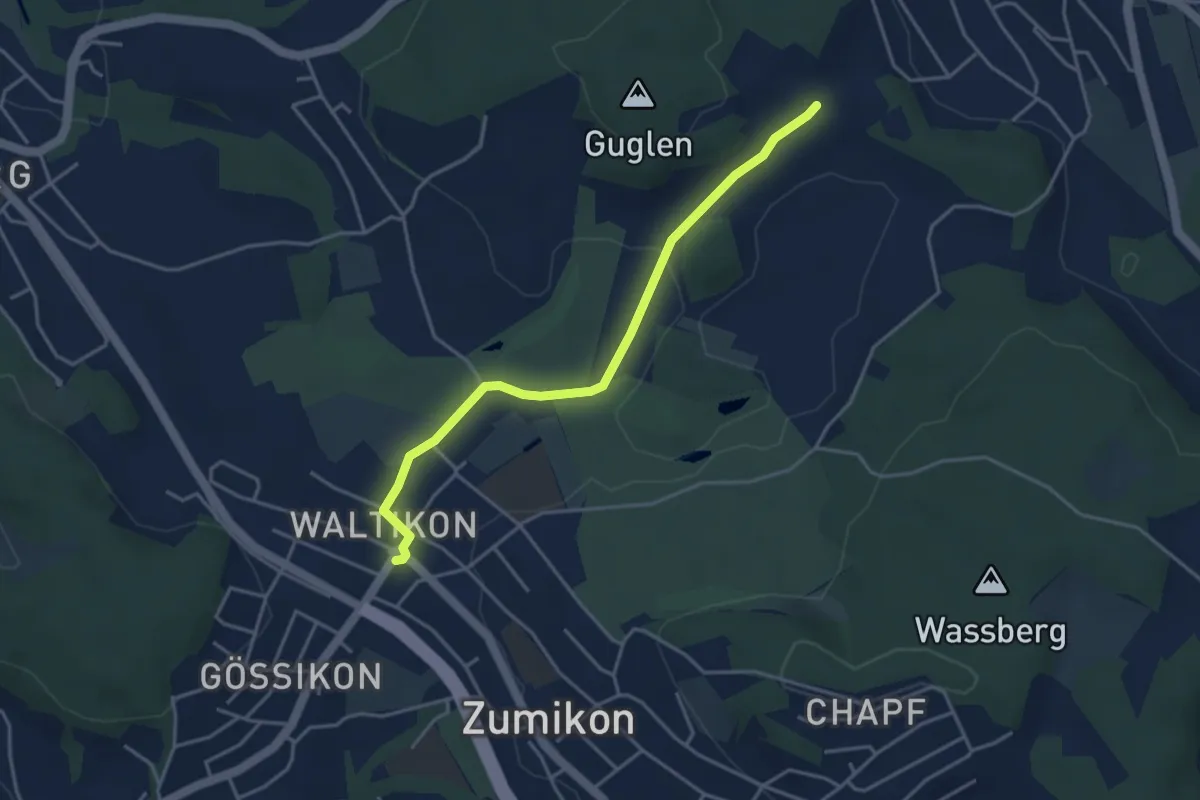
Easy · Trail
Waltikon - Süessblätz
3.9 km · ↑ 37 m · 1 h · 14 km away
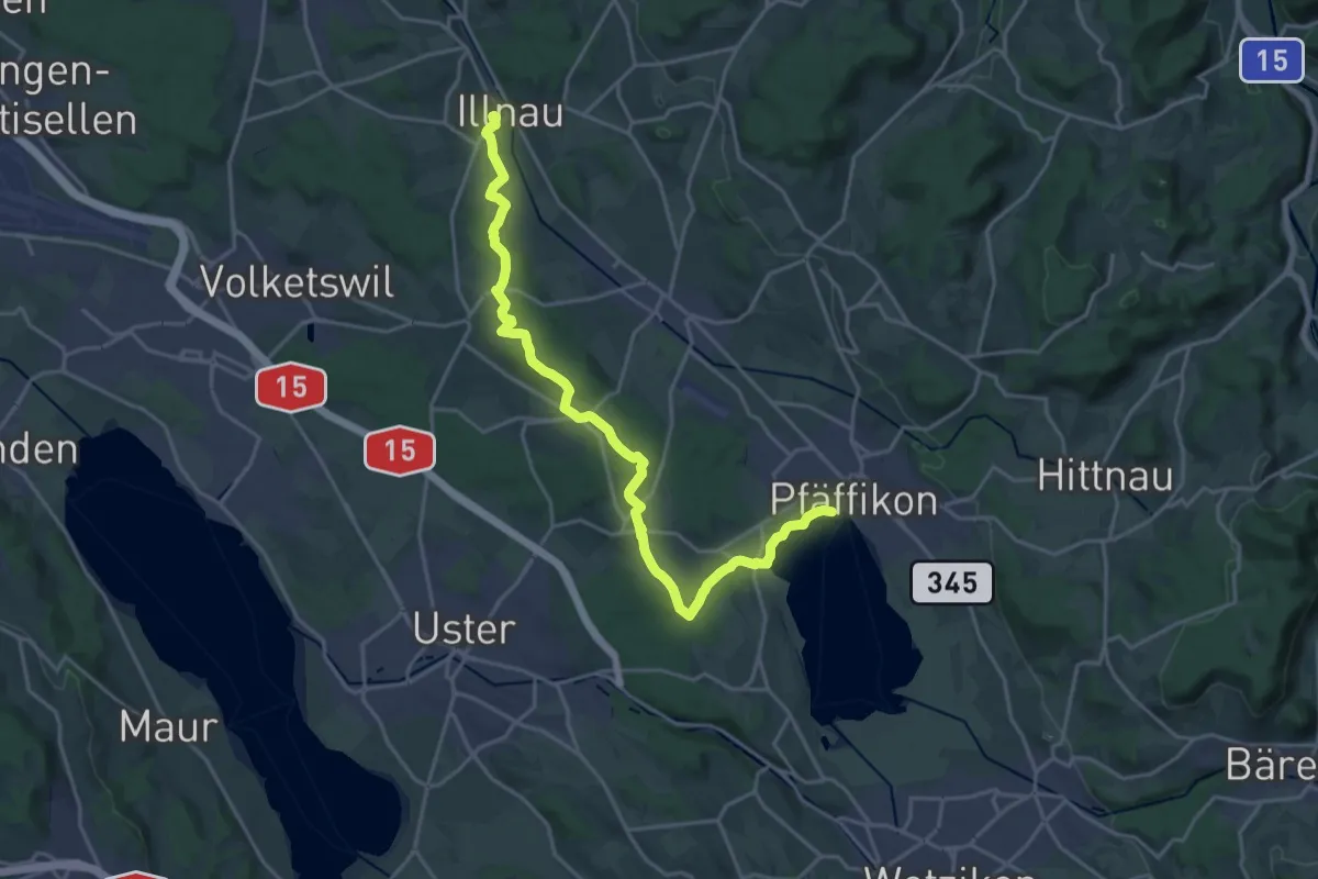
Demanding · Trail
Via Natura
21.9 km · ↑ 286 m · 5 h 48 min · 14 km away
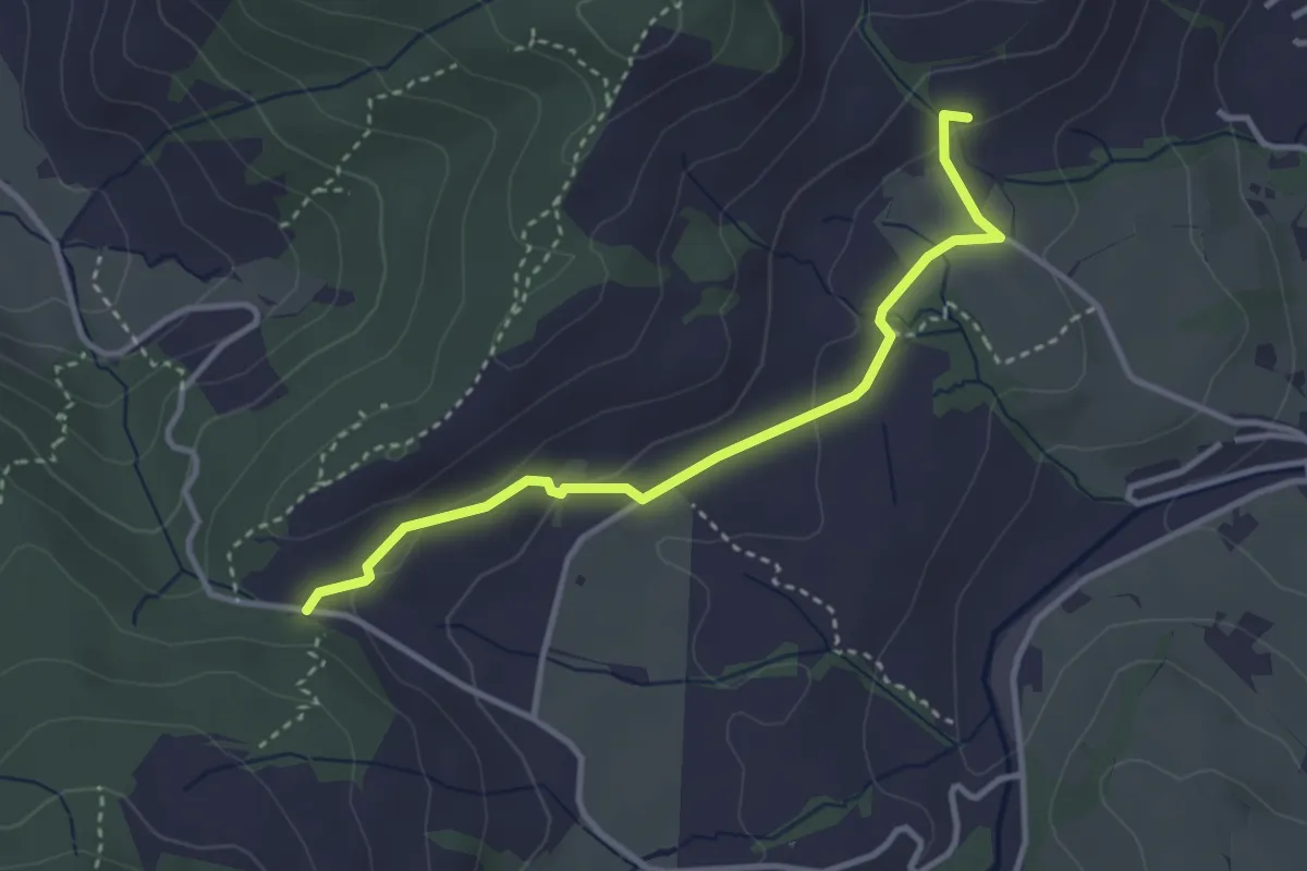
Easy · Trail
Müser - Chälen
3.3 km · ↑ 90 m · 58 min · 14 km away
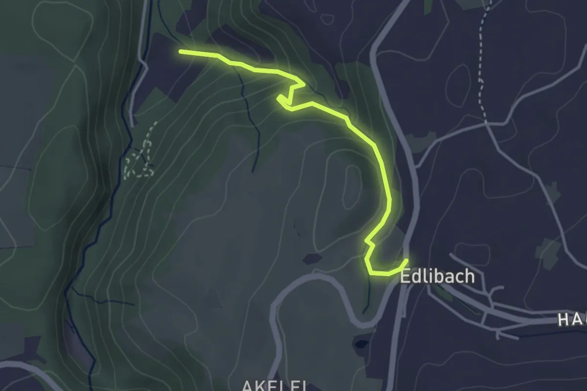
Easy · Trail
Edlibach - Höll
3.2 km · ↑ 254 m · 1 h 19 min · 14 km away
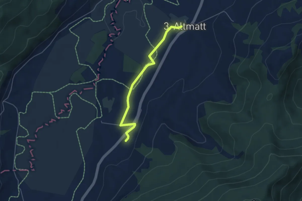
Easy · Trail
Zweite Altmatt - Dritte Altmatt
4.1 km · ↑ 32 m · 1 h 3 min · 14 km away
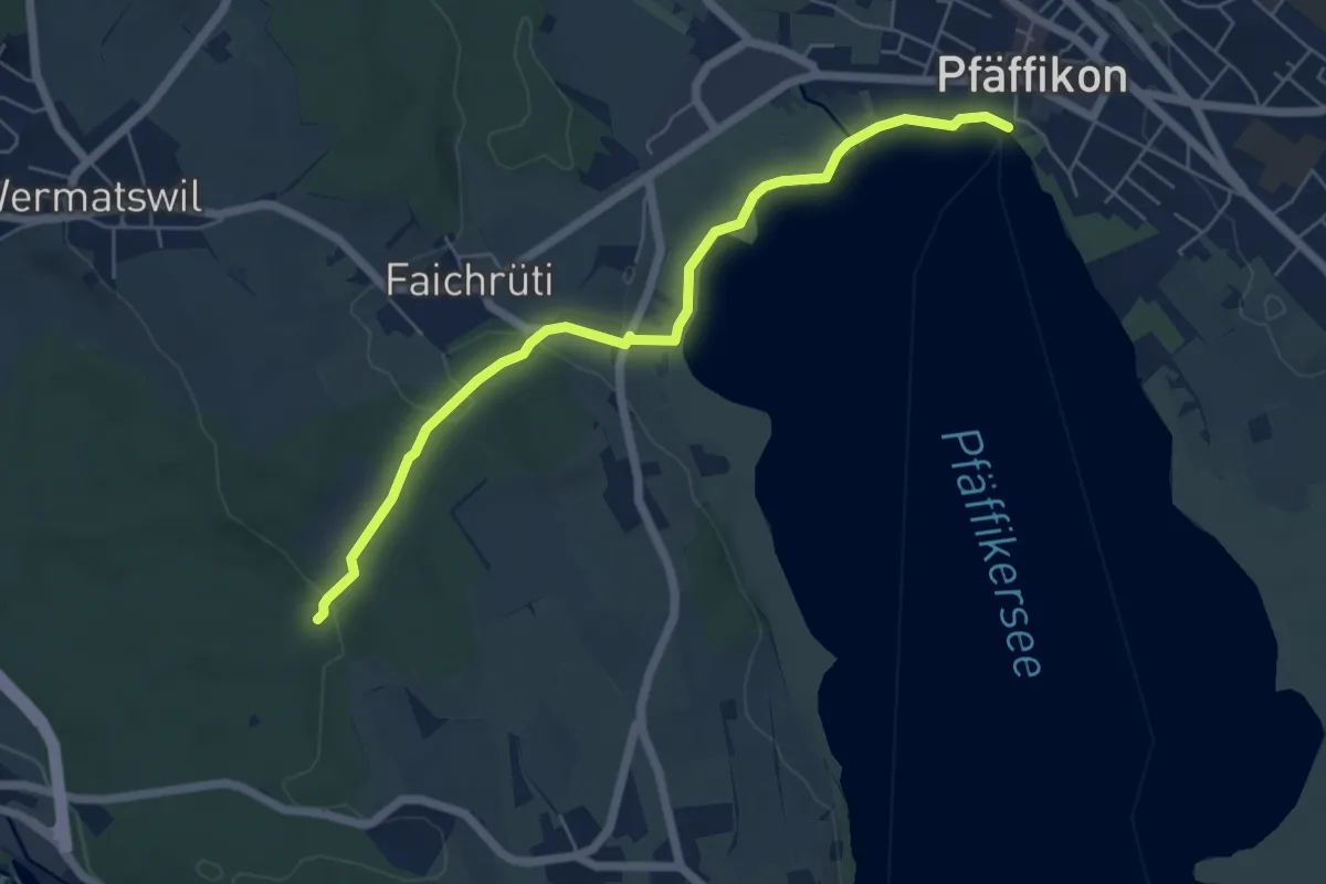
Easy · Trail
Römerbrünneli – Pfäffikersee
5.9 km · ↑ 53 m · 1 h 31 min · 14 km away
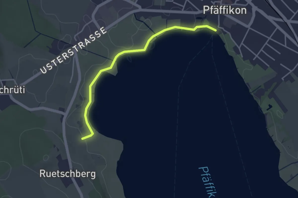
Easy · Trail
Talhof – Pfäffikersee
3.3 km · ↑ 5 m · 47 min · 14 km away
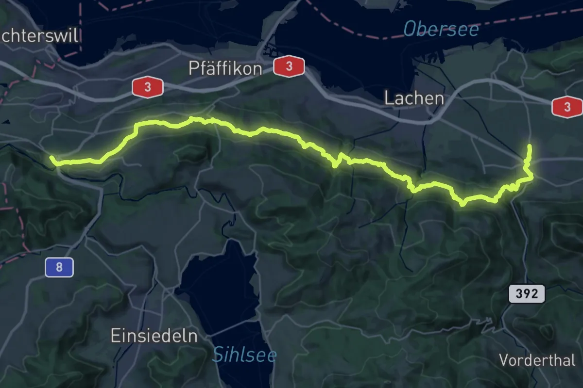
Demanding · Trail
Panoramaweg March Höfe
19.7 km · ↑ 863 m · 6 h 38 min · 14 km away
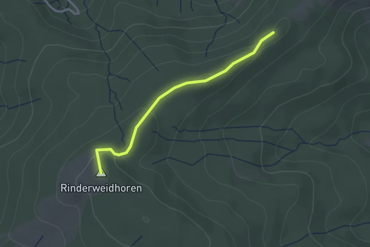
Easy · Summit
Zauggenhütte - Rinderweidhorn
2.3 km · ↑ 58 m · 40 min · 14 km away
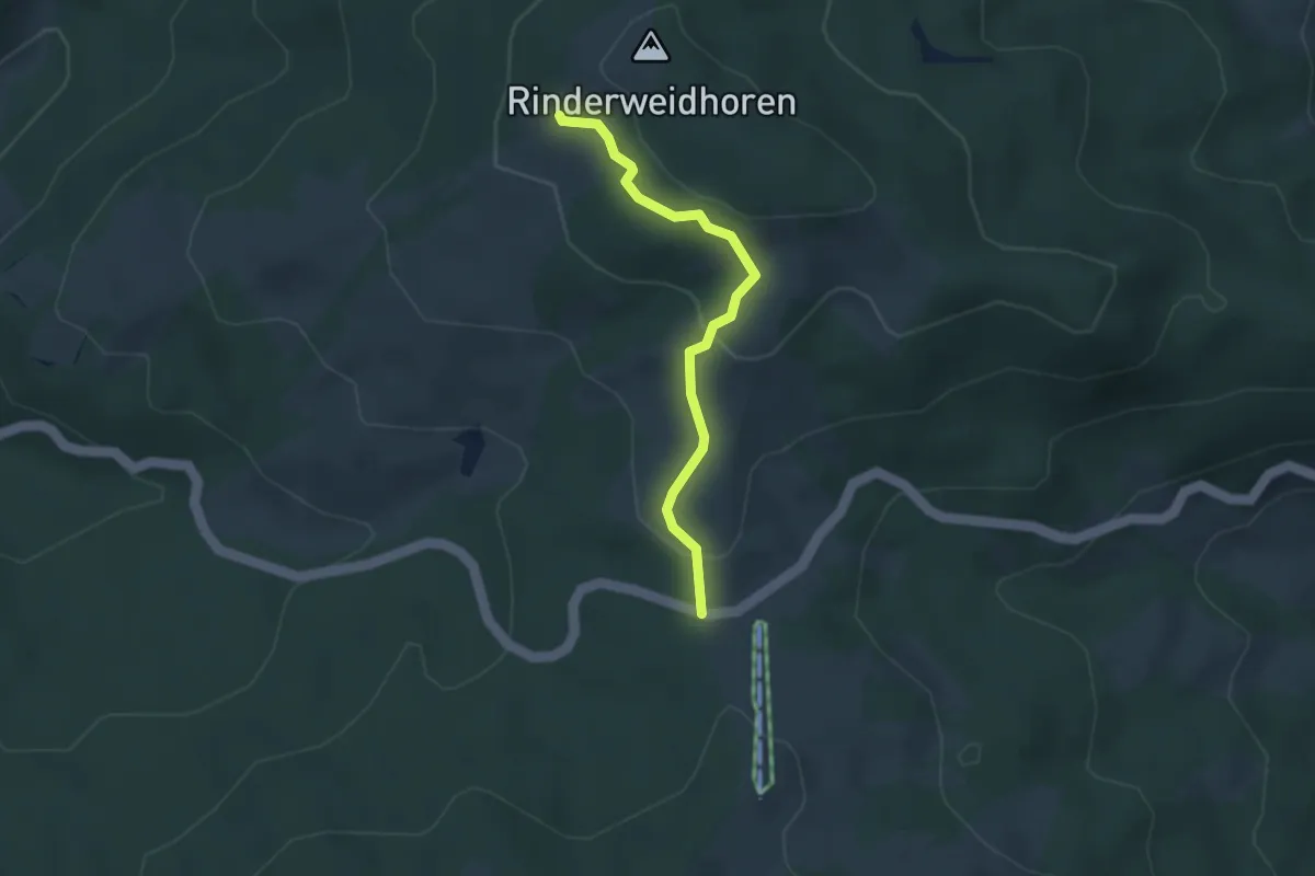
Easy · Trail
Sattelegg - Rinderweidhorn
3.0 km · ↑ 136 m · 1 h 1 min · 14 km away
Easy · Trail
Grabenriet - Pulten
2.1 km · ↑ 45 m · 35 min · 14 km away
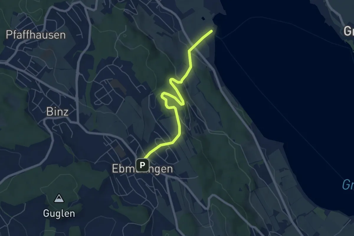
Easy · Trail
Ebmatingen - Fällanden Rohr
5.7 km · ↑ 204 m · 1 h 47 min · 14 km away
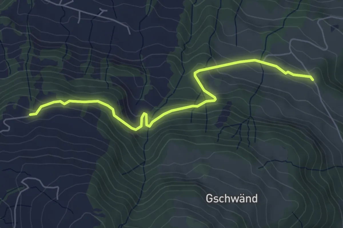
Easy · Trail
Stalden - Grabenegg
5.6 km · ↑ 290 m · 1 h 57 min · 14 km away
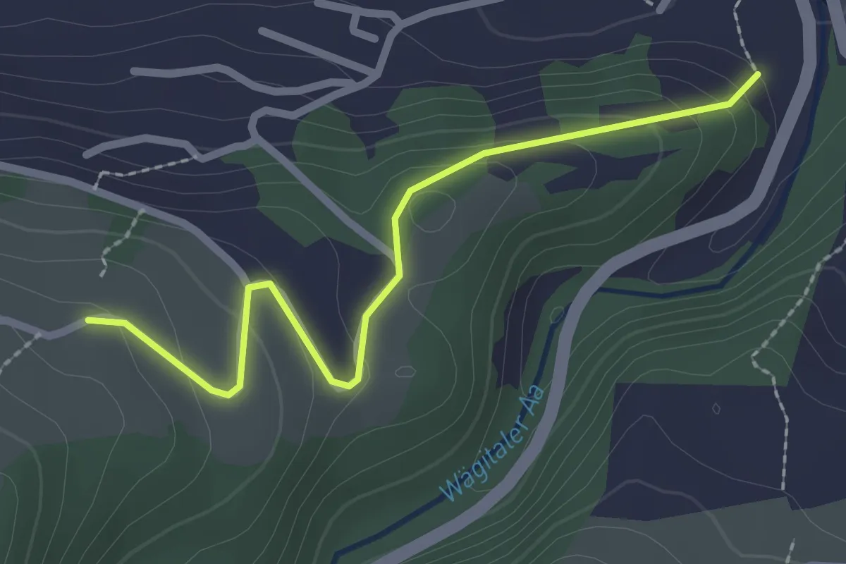
Easy · Trail
Müli - Gusöteli
2.3 km · ↑ 112 m · 47 min · 14 km away
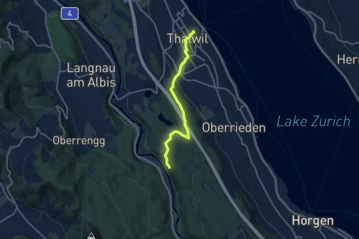
Easy · Trail
Thalwil (Bahnhof) – Schlegeltobel
7.5 km · ↑ 214 m · 2 h 15 min · 14 km away
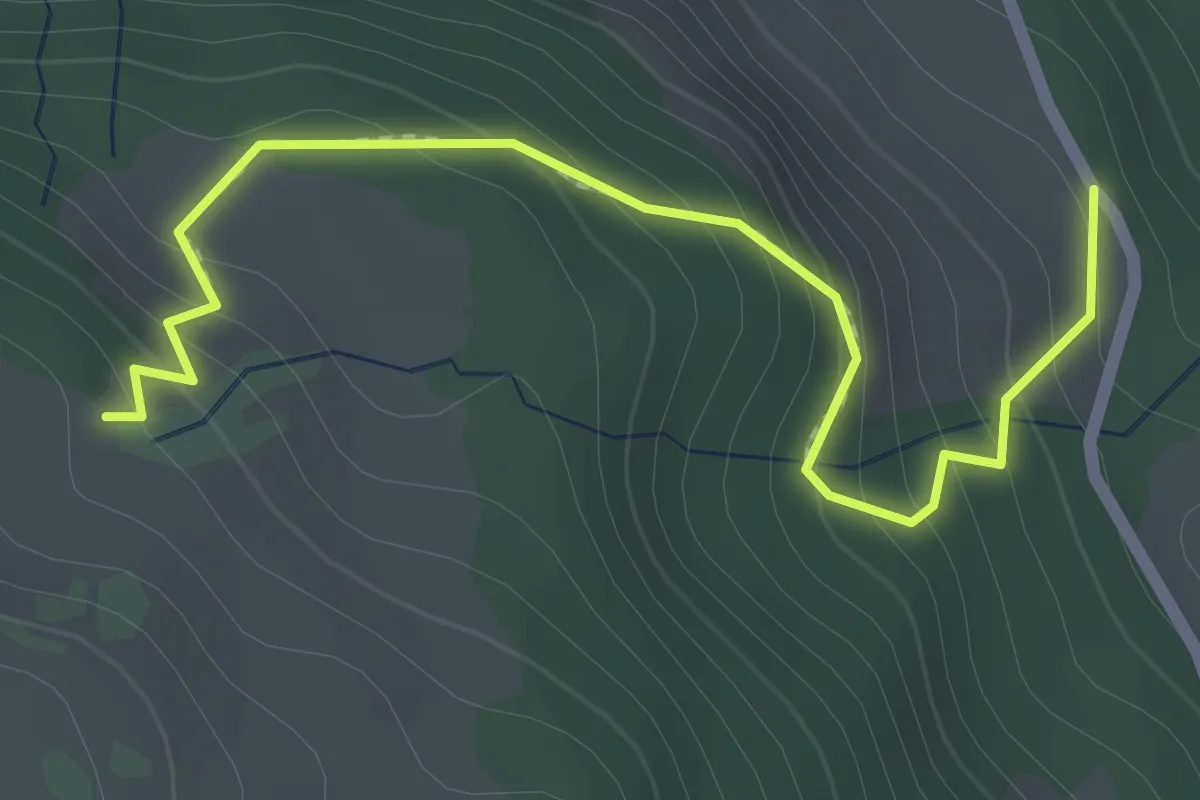
Easy · Trail
Staldenhöhe - Gschwänd
2.4 km · ↑ 226 m · 1 h 3 min · 14 km away
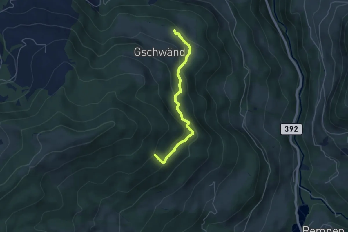
Easy · Trail
Gschwänd - Steinwänd
3.9 km · ↑ 249 m · 1 h 28 min · 14 km away
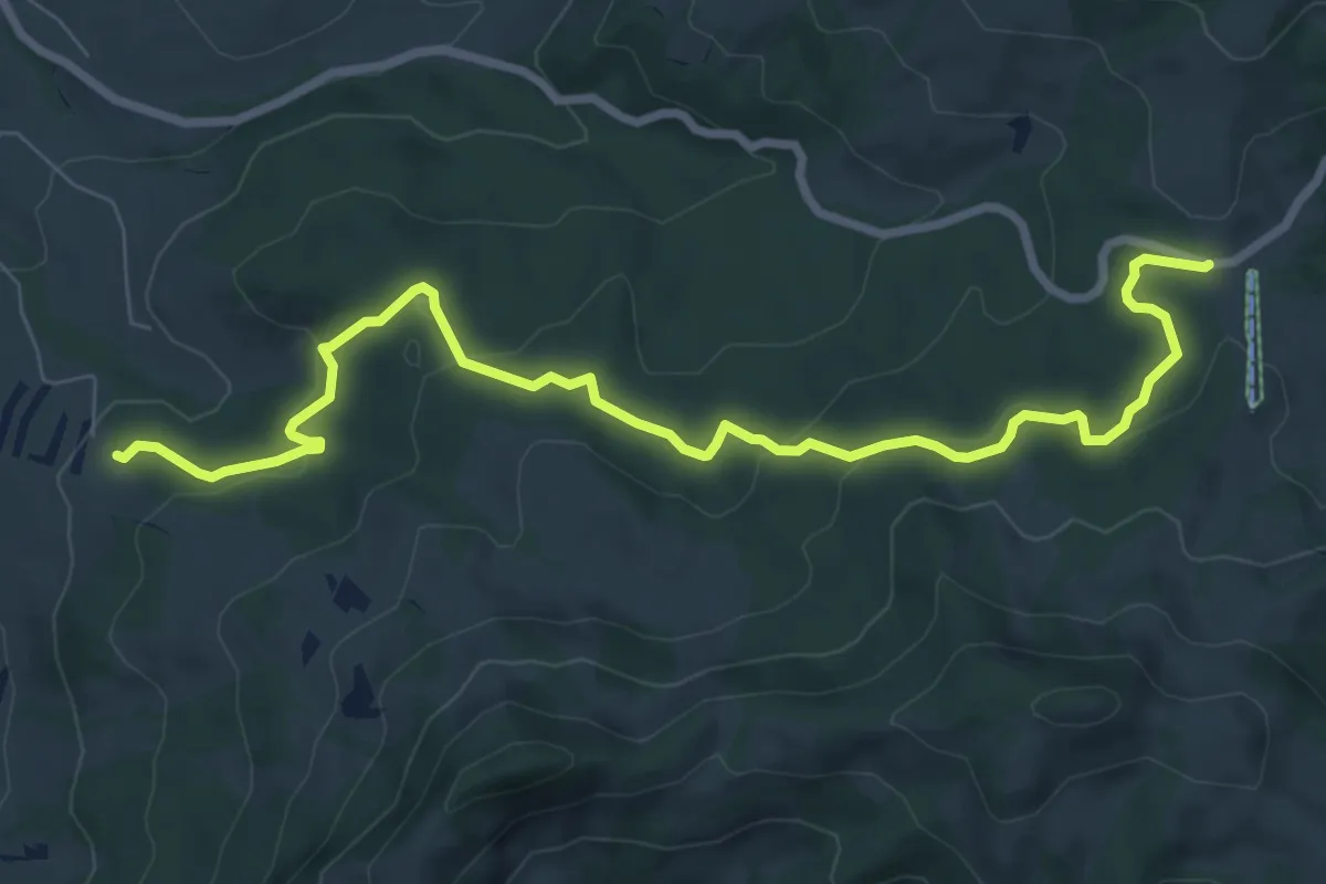
Medium · Trail
Geissweidli - Sattelegg
9.2 km · ↑ 302 m · 2 h 49 min · 14 km away
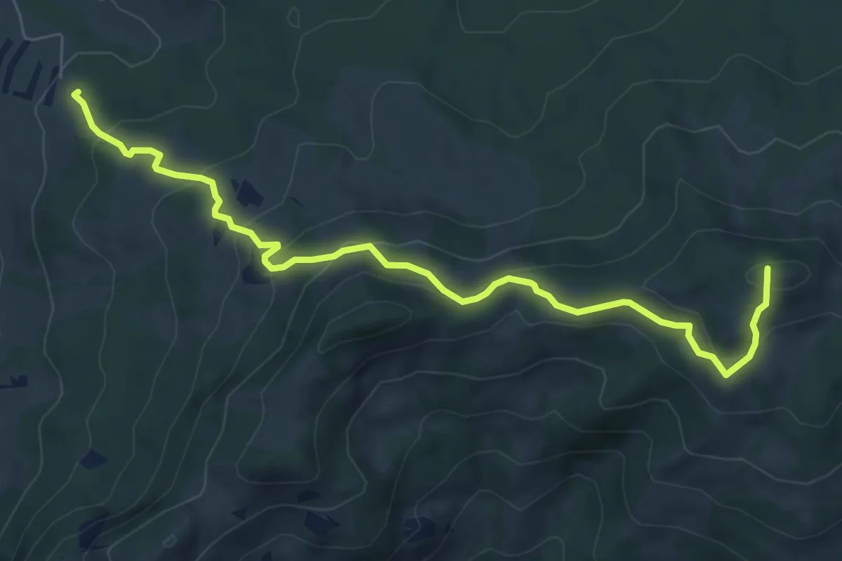
Medium · Summit
Geissweidli - Egg
7.6 km · ↑ 463 m · 2 h 48 min · 14 km away
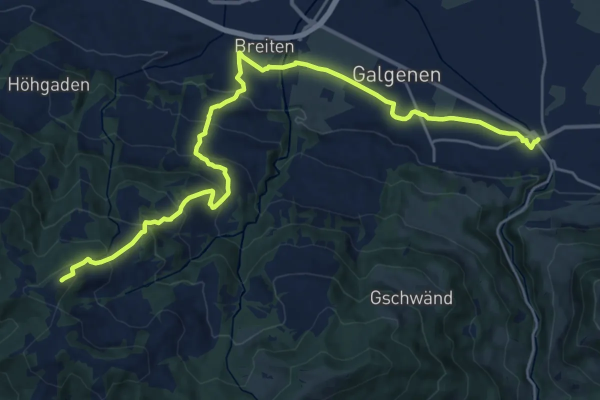
Demanding · Summit
Alpenpanorama-Weg
19.0 km · ↑ 854 m · 6 h 21 min · 14 km away
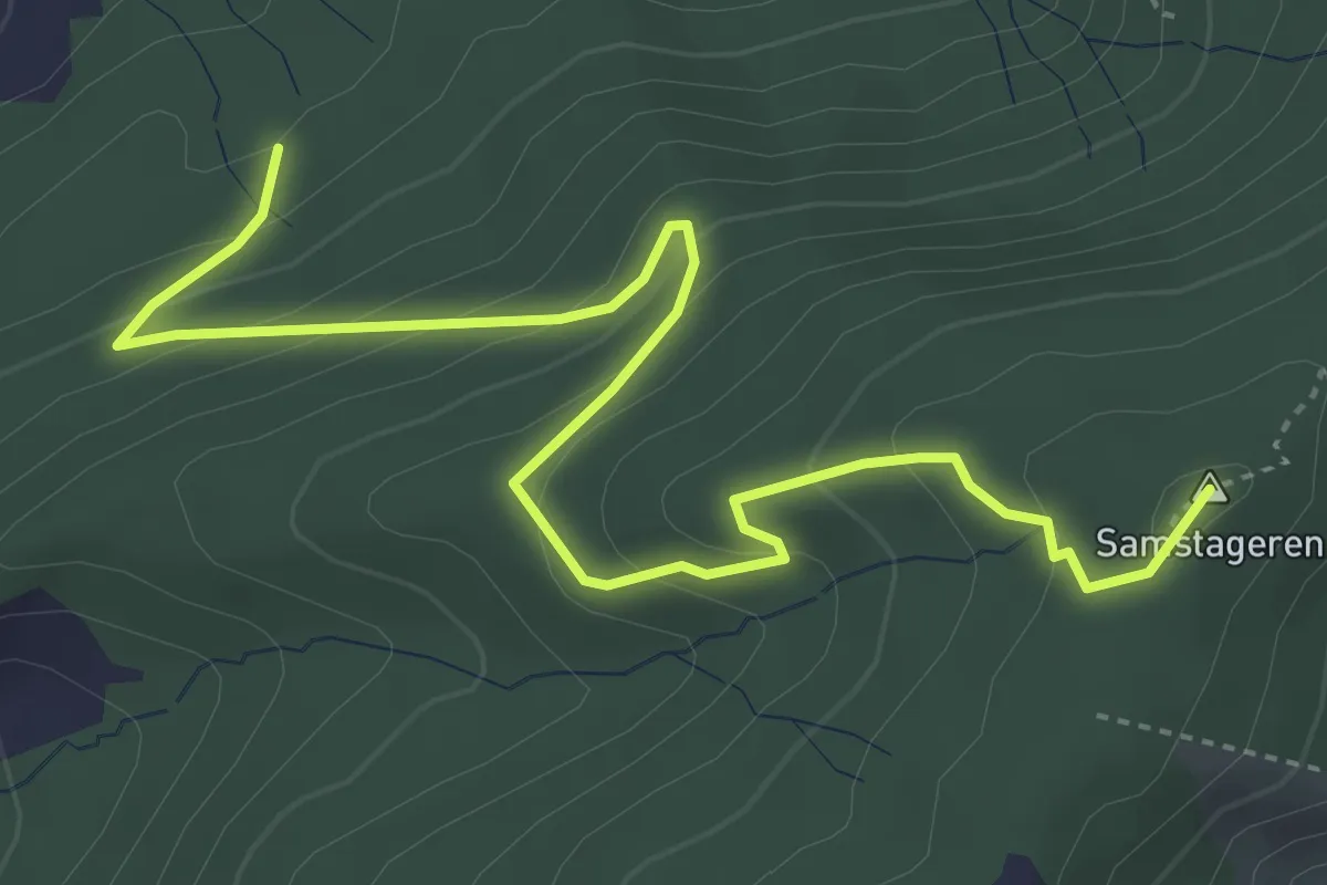
Medium · Summit
Cholholz – Windwurf
5.0 km · ↑ 321 m · 1 h 53 min · 14 km away
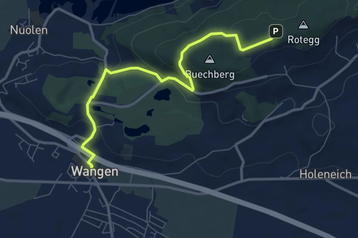
Easy · Trail
Wangen – Buechberg (Rotegg)
6.7 km · ↑ 221 m · 2 h 4 min · 14 km away
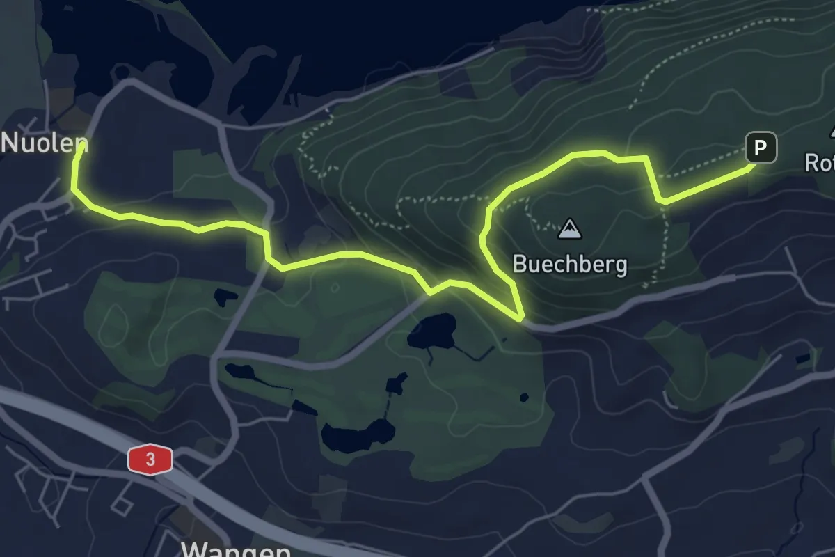
Easy · Trail
Nuolen – Buechberg (Rotegg)
6.3 km · ↑ 211 m · 1 h 56 min · 14 km away
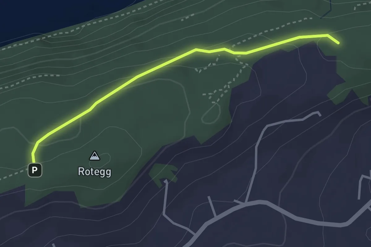
Easy · Trail
Buechberg (Rotegg) – Bittchälen (Höchegg)
3.0 km · ↑ 73 m · 52 min · 14 km away
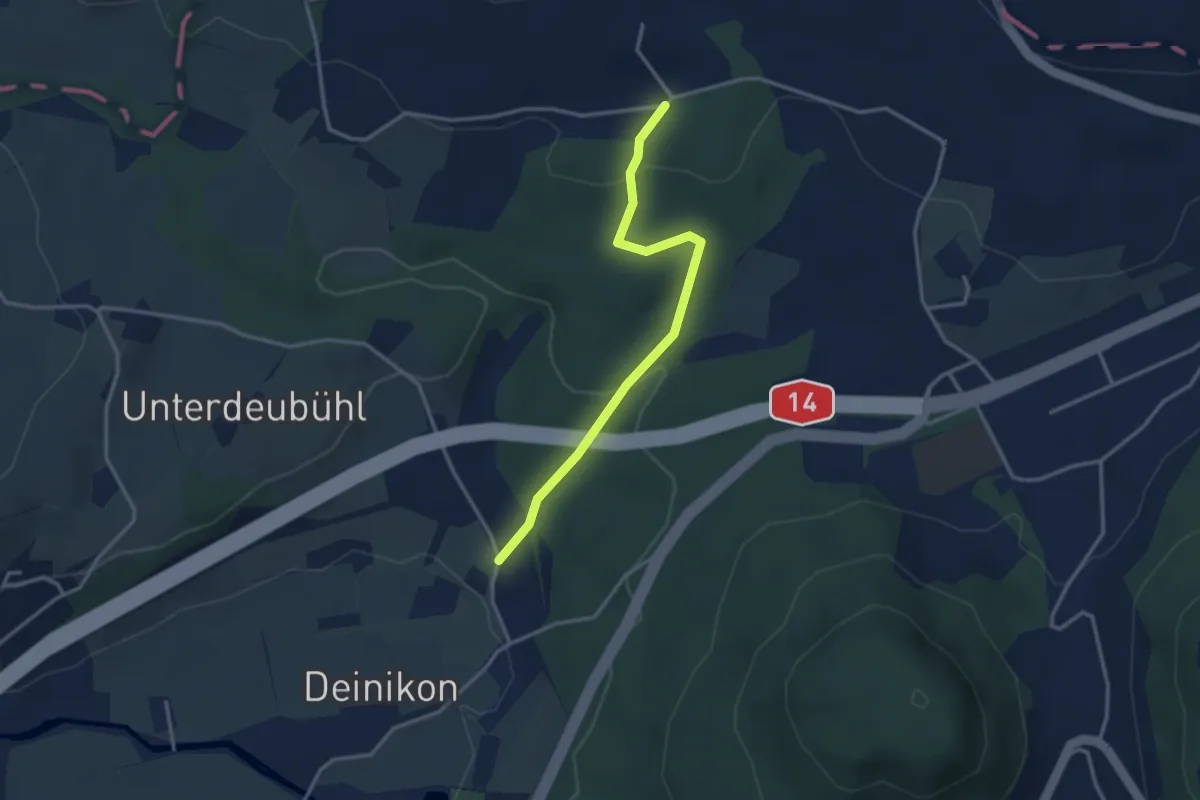
Easy · Trail
Büni - Deiniker-Wald
3.1 km · ↑ 96 m · 56 min · 14 km away
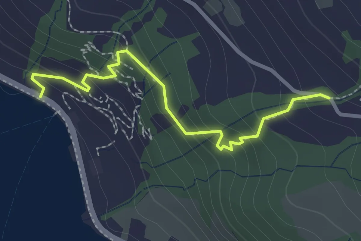
Easy · Trail
Zwüschenbäch - Ländli
2.2 km · ↑ 165 m · 53 min · 14 km away
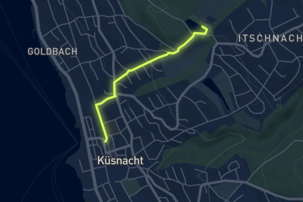
Easy · Trail
Küsnacht – Rumensee
3.4 km · ↑ 127 m · 1 h 5 min · 14 km away
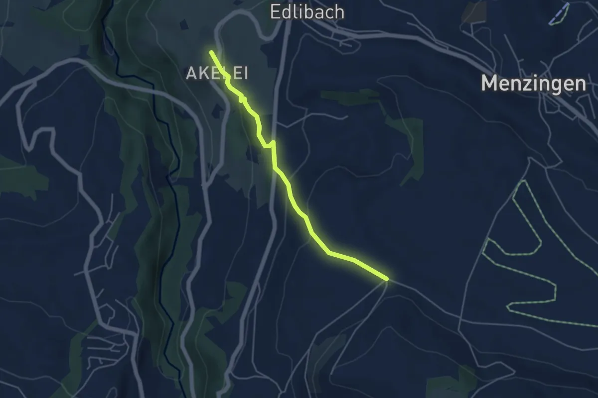
Easy · Trail
Bolzli - Wulfligen
4.0 km · ↑ 150 m · 1 h 16 min · 14 km away
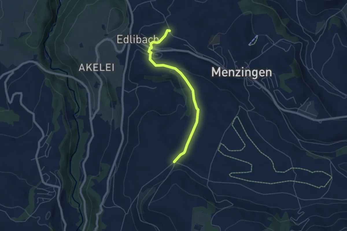
Easy · Trail
Edlibach – Bolzli
4.9 km · ↑ 91 m · 1 h 22 min · 14 km away