Trails near Stäfa
621 hikes starting within 15 km, nearest first.
Nearest first, page 13 of 13
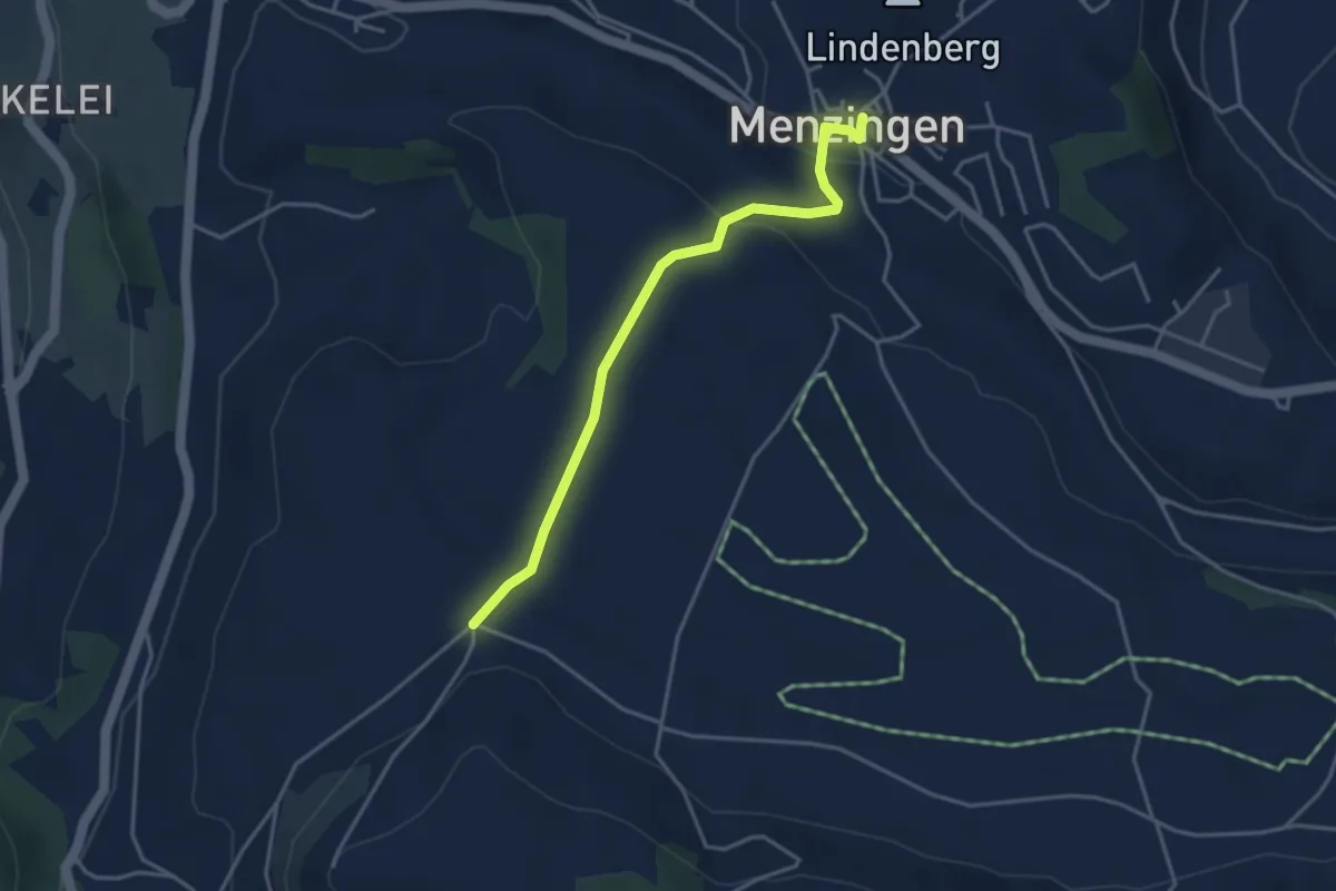
Easy · Trail
Menzingen - Bolzli
3.7 km · ↑ 70 m · 1 h 2 min · 14 km away
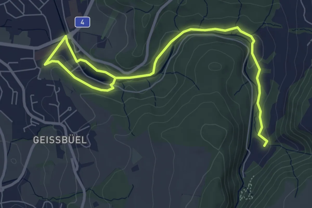
Easy · Trail
Baar - Höllgrotten
7.7 km · ↑ 130 m · 2 h 6 min · 14 km away
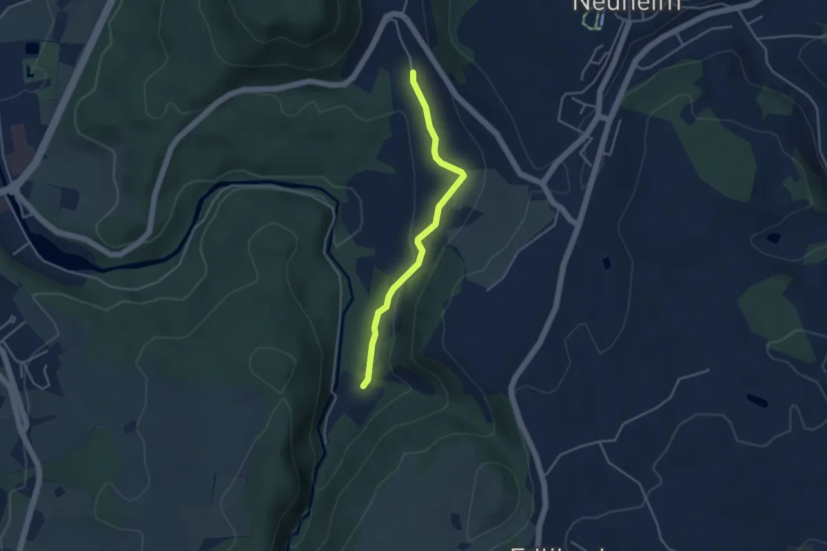
Easy · Trail
Baarburg - Höll
3.3 km · ↑ 93 m · 59 min · 14 km away
Easy · Trail
Greifensee - Werrikon
5.2 km · ↑ 13 m · 1 h 16 min · 14 km away
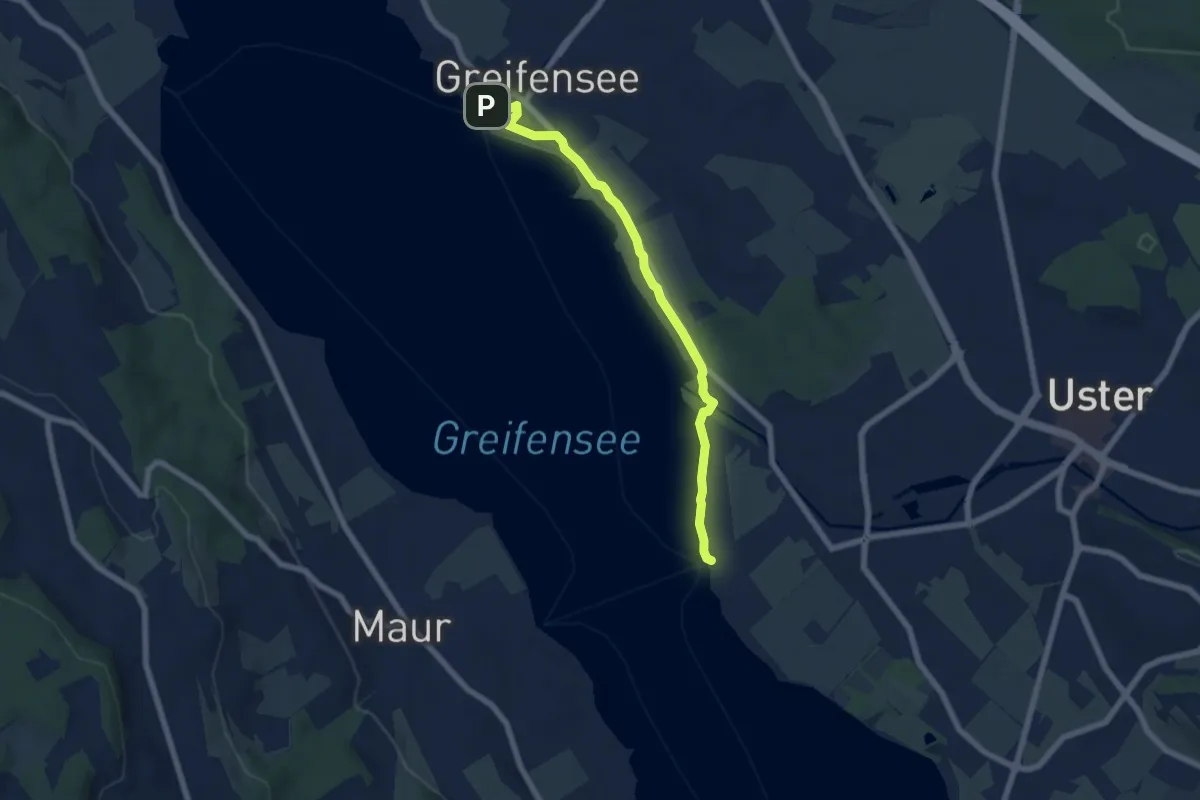
Easy · Trail
Greifensee – Niederuster
6.4 km · ↑ 5 m · 1 h 31 min · 14 km away
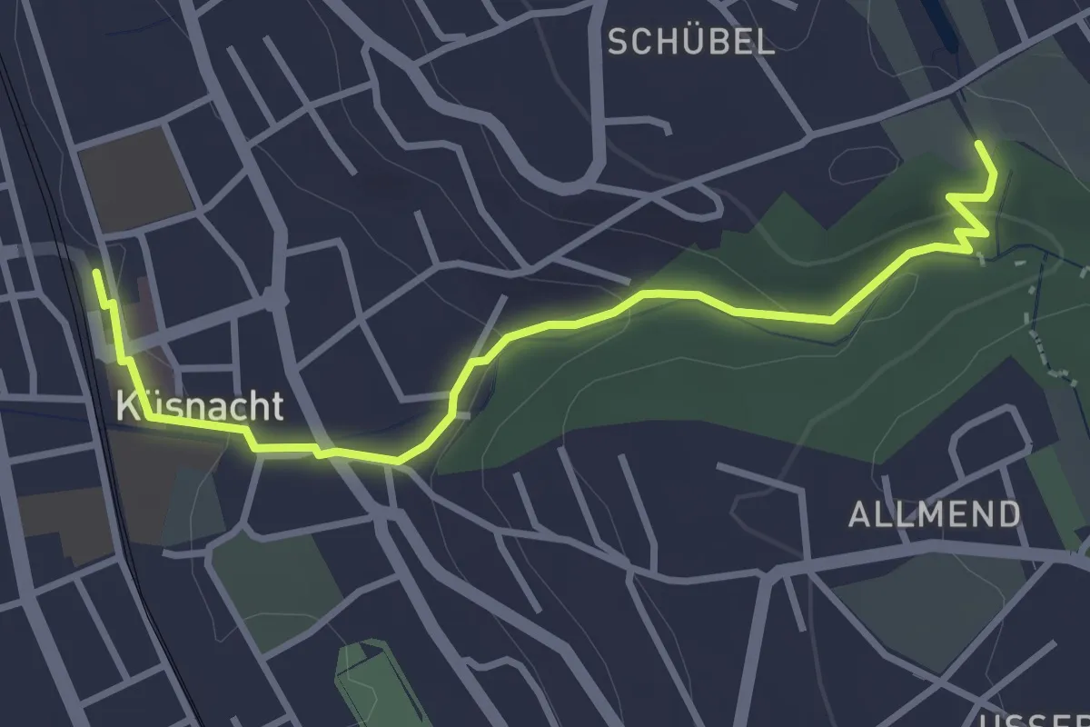
Easy · Trail
Küsnacht – Schübelweiher
3.3 km · ↑ 95 m · 1 h · 14 km away
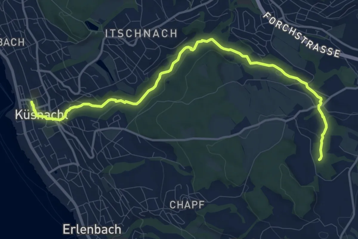
Medium · Trail
Erlenbach Küsnacht Tobelweg
11.9 km · ↑ 300 m · 3 h 27 min · 14 km away
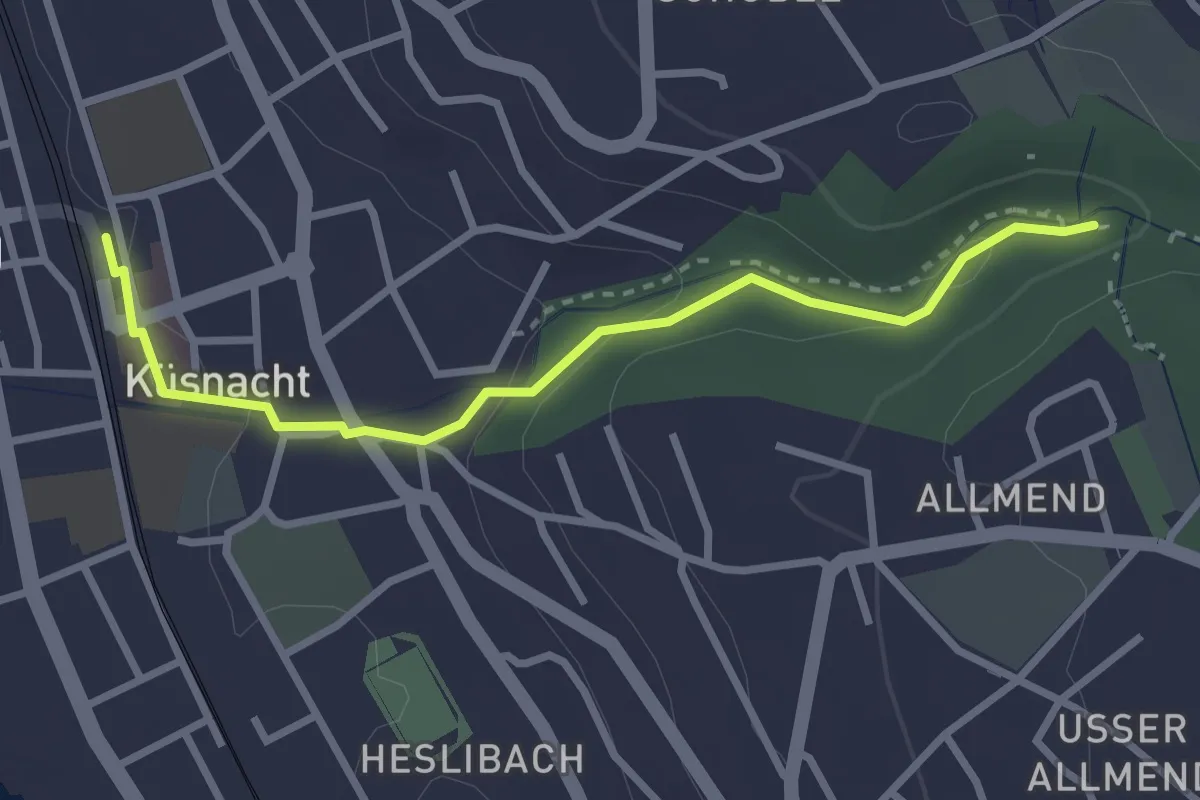
Easy · Trail
Küsnacht – Küsnacht Dorfbach
2.9 km · ↑ 92 m · 53 min · 14 km away
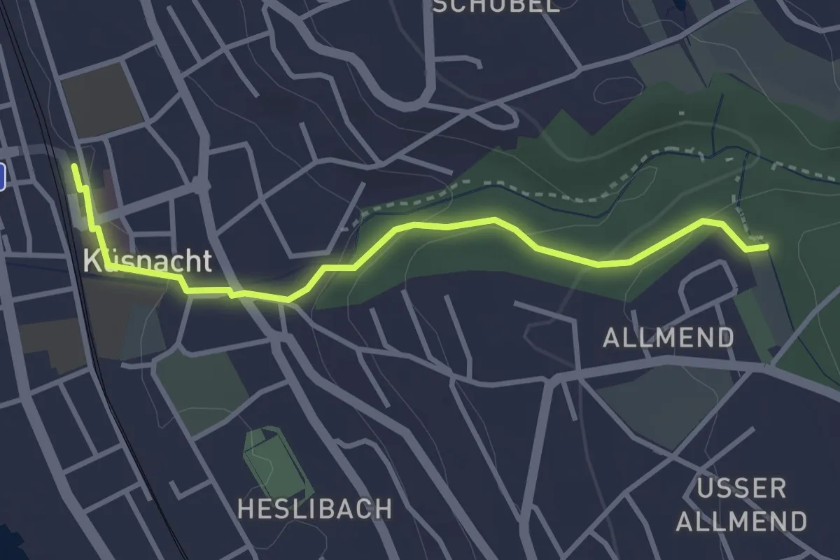
Easy · Trail
Küsnacht – Küsnachter Tobel
3.1 km · ↑ 106 m · 57 min · 14 km away
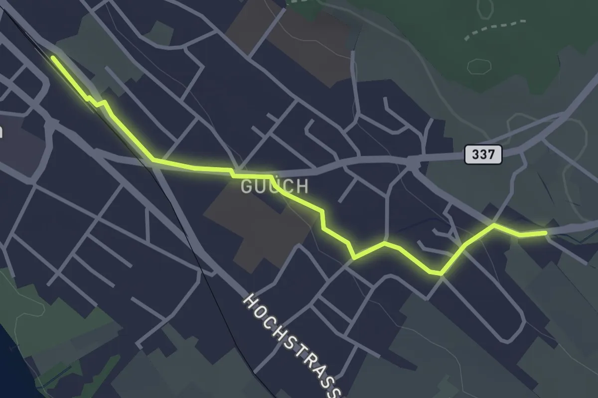
Easy · Trail
Pfäffikon – Oberwil
3.1 km · ↑ 43 m · 49 min · 14 km away
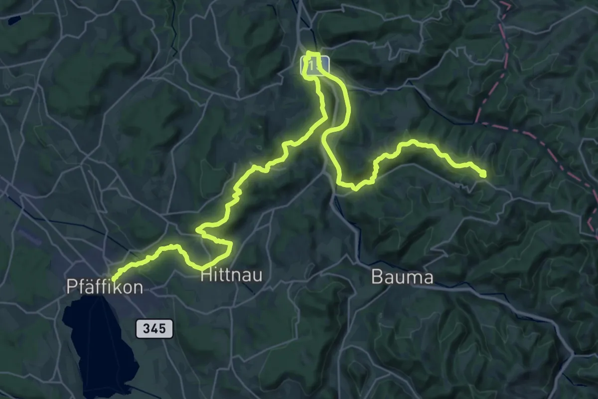
Demanding · Summit
Jakob-Stutz-Weg
42.5 km · ↑ 1006 m · 12 h 13 min · 14 km away
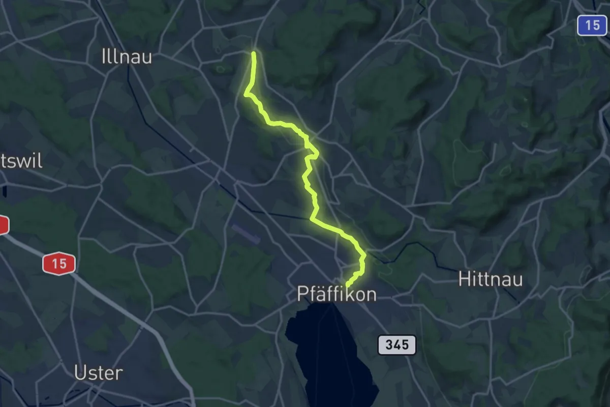
Medium · Trail
Rumlikon – Pfäffikon
13.8 km · ↑ 248 m · 3 h 48 min · 14 km away
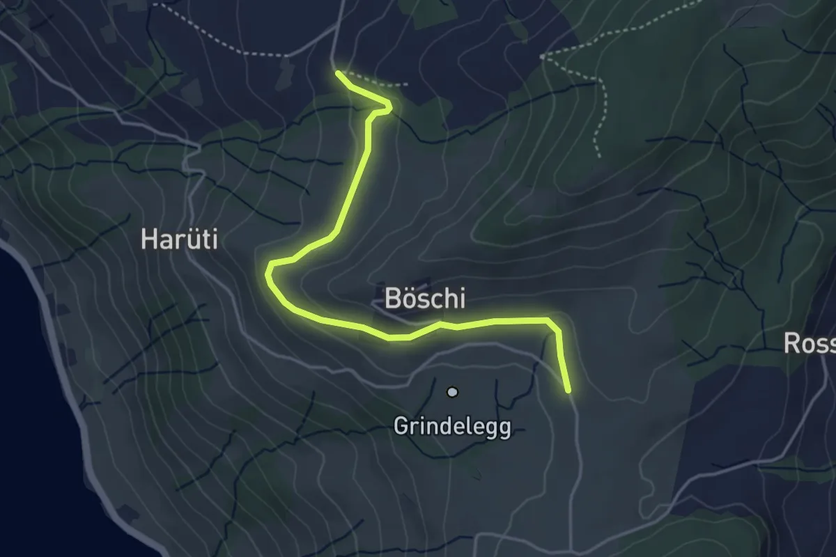
Easy · Trail
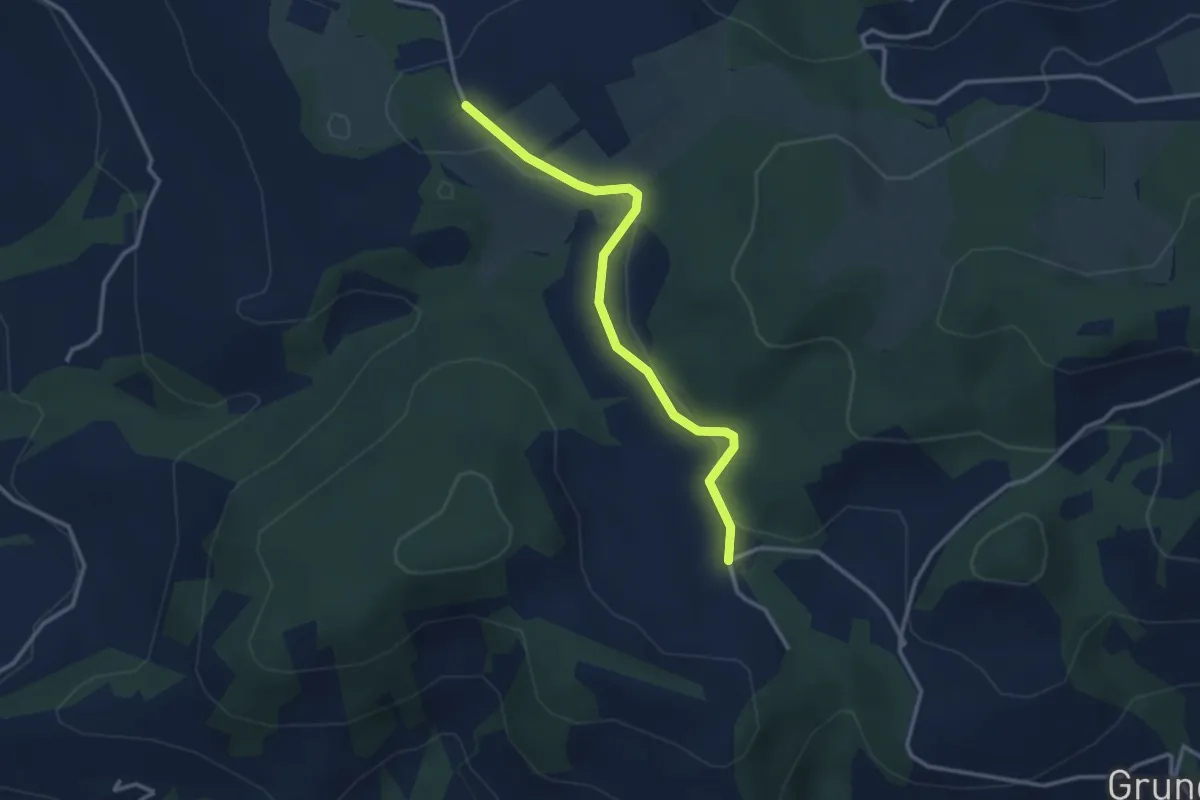
Ob Tännli - Grindel - Waldschlagchrüz
4.1 km · ↑ 102 m · 1 h 12 min · 15 km away
Easy · Trail
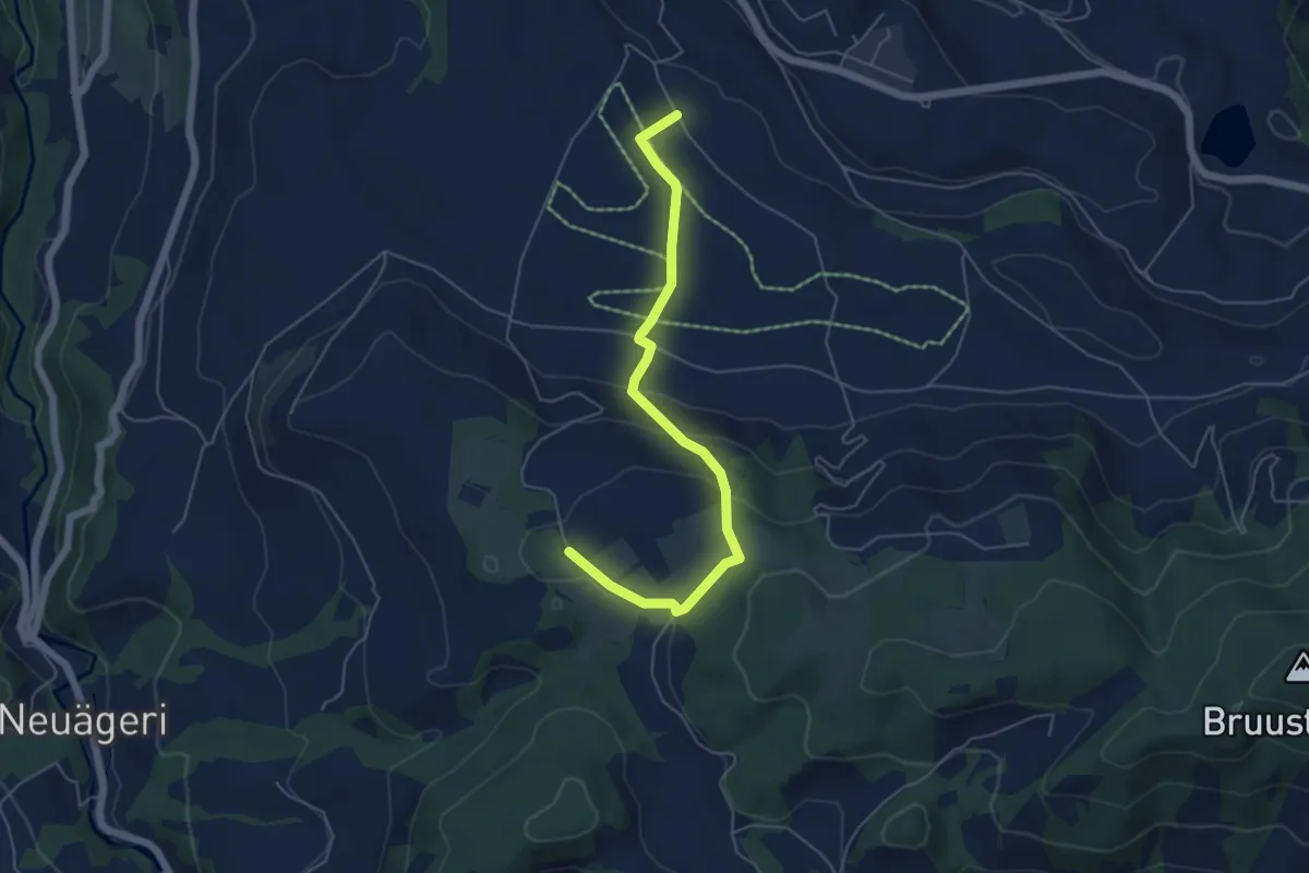
Hinterwiden - Brämen-Höchi
3.0 km · ↑ 21 m · 45 min · 15 km away
Easy · Trail
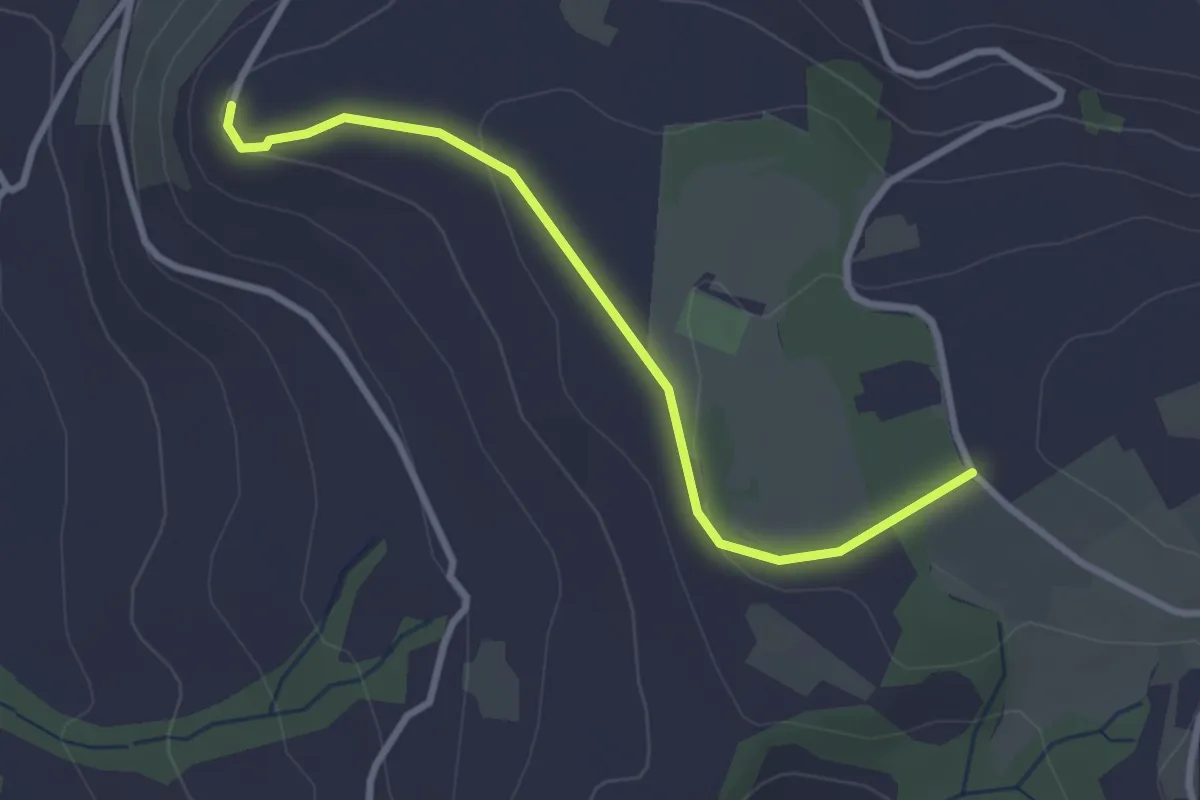
Brämen-Höchi - Grund
5.5 km · ↑ 172 m · 1 h 41 min · 15 km away
Easy · Trail
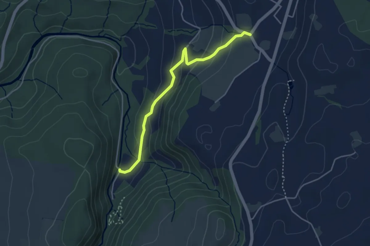
Brämen-Höchi - Gubel
2.9 km · ↑ 65 m · 49 min · 15 km away
Easy · Trail
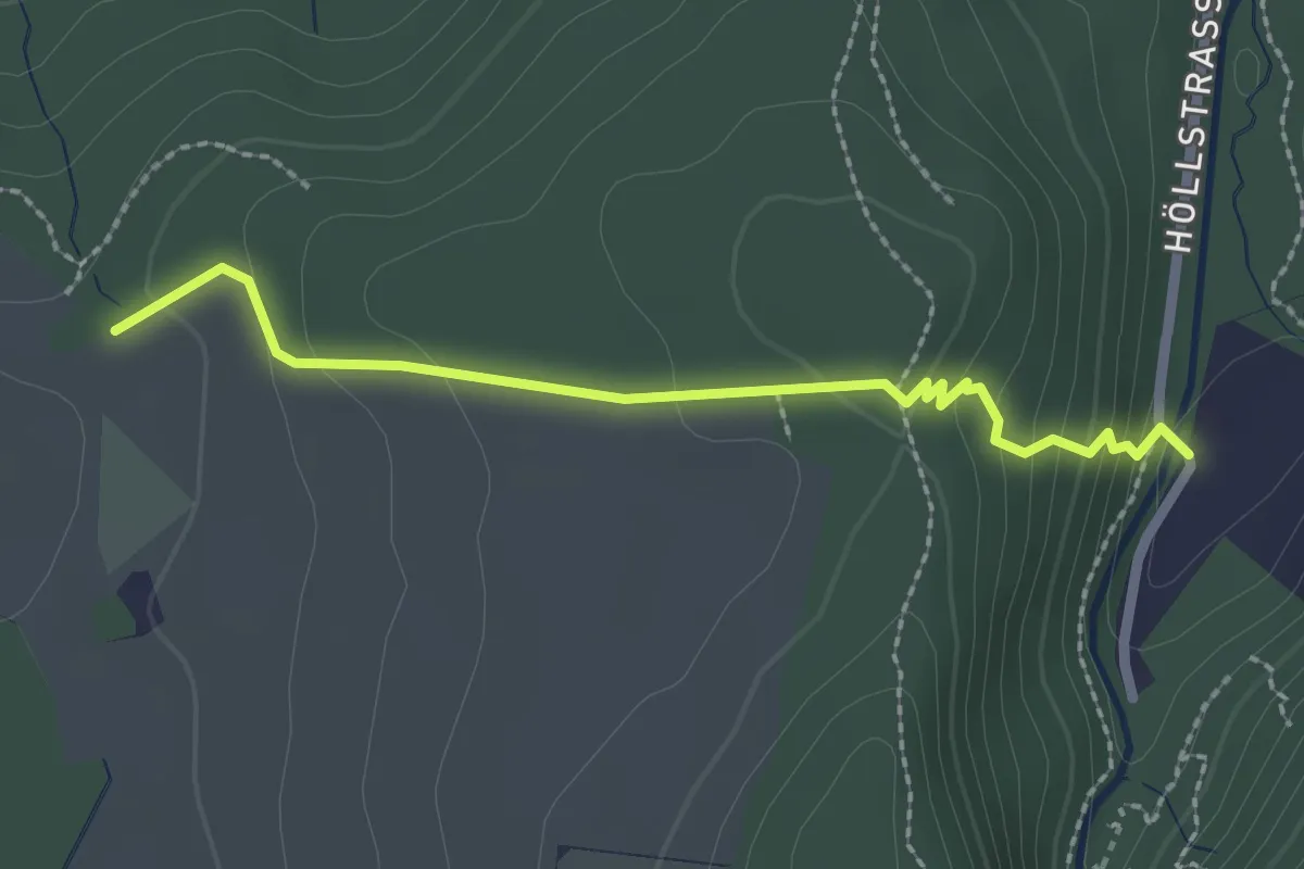
Höllbrücke - Hinterburg
3.4 km · ↑ 150 m · 1 h 8 min · 15 km away
Easy · Trail
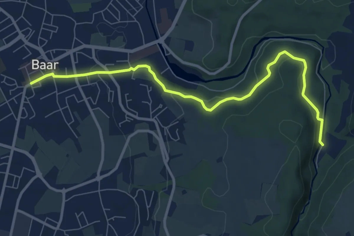
Höllbrücke - Ober Allmend
2.3 km · ↑ 128 m · 49 min · 15 km away
Easy · Trail
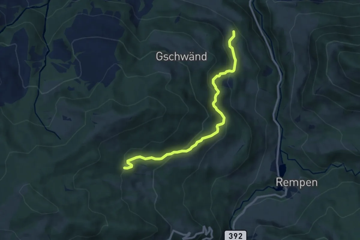
Höllbrücke - Dorfstrasse
7.6 km · ↑ 194 m · 2 h 13 min · 15 km away
Medium · Trail
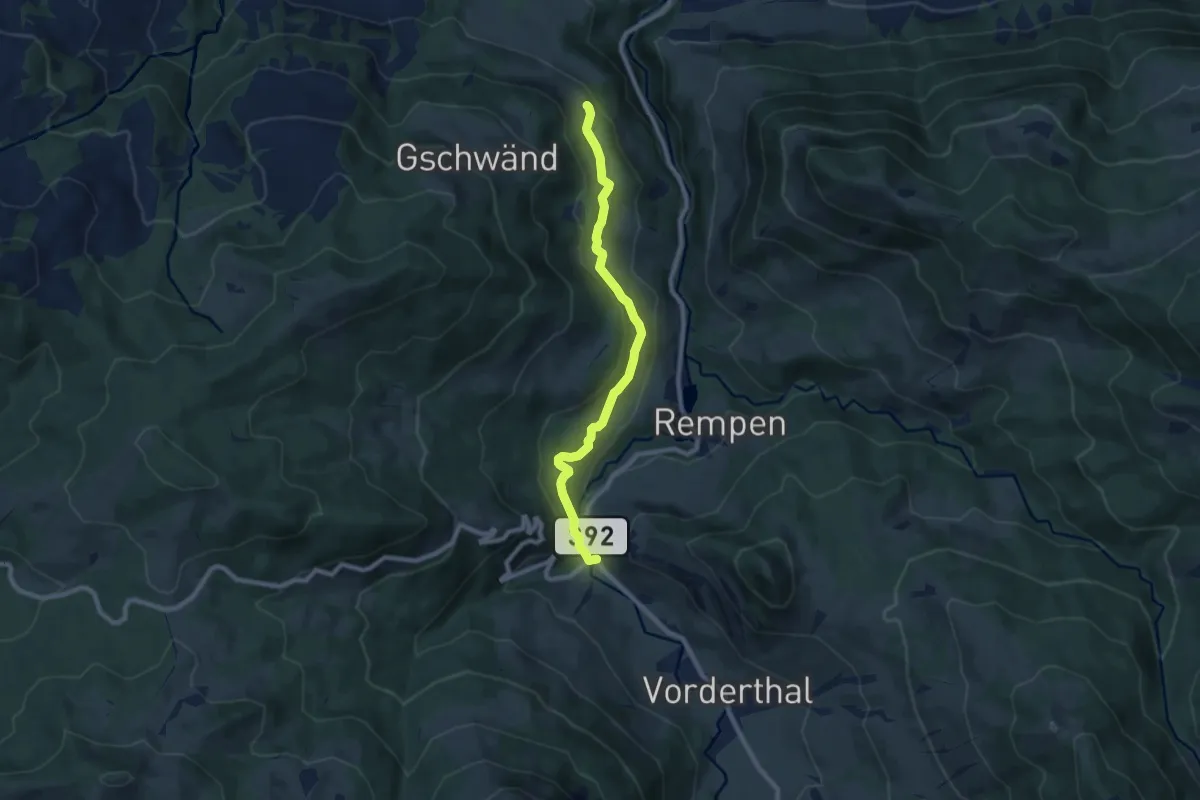
Staldenhöhe - Tuggner Hüttli
7.6 km · ↑ 424 m · 2 h 42 min · 15 km away
Medium · Trail
Staldenhöhe - Sonne (Vorderthal)
8.0 km · ↑ 283 m · 2 h 30 min · 15 km away
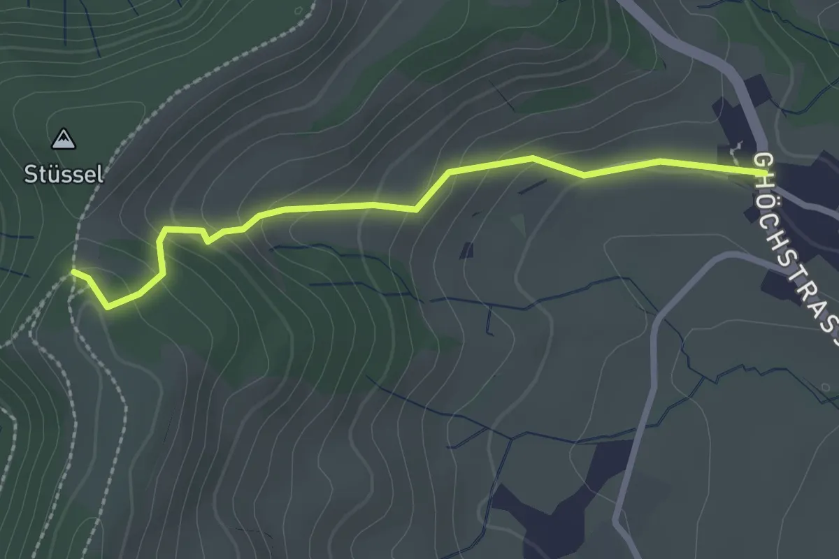
Easy · Trail
Kleinbäretswil - Frauebrünneli
2.3 km · ↑ 143 m · 51 min · 15 km away
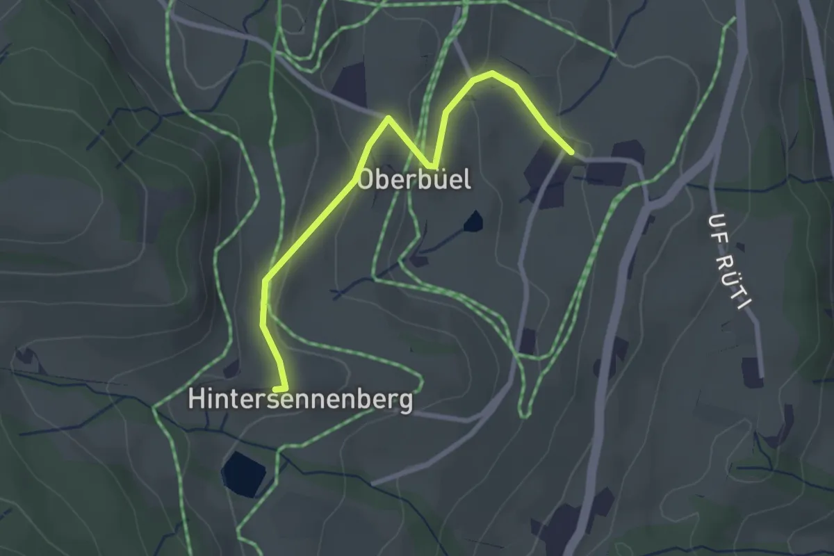
Easy · Trail
Büel – Hinterer Sennenberg
2.6 km · ↑ 98 m · 49 min · 15 km away
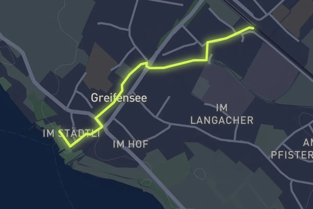
Easy · Trail
Nänikon-Greifensee - Greifensee
2.5 km · ↑ 8 m · 36 min · 15 km away
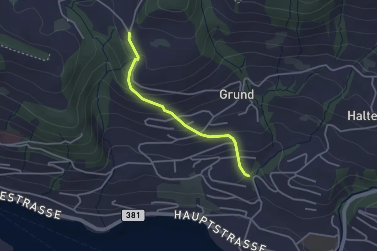
Easy · Trail
Hinterschneit - Gruben
2.5 km · ↑ 154 m · 55 min · 15 km away
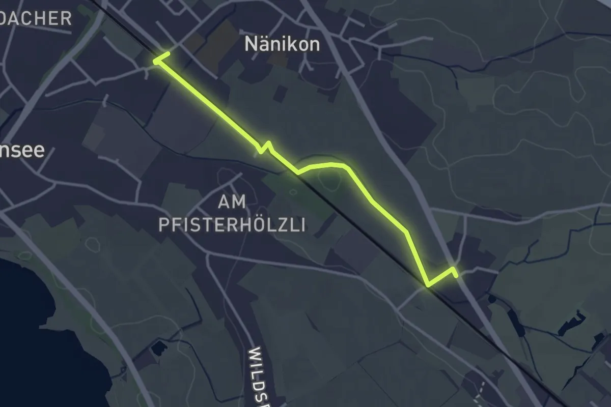
Easy · Trail
Werrikon – Nänikon-Greifensee
3.1 km · ↑ 13 m · 46 min · 15 km away
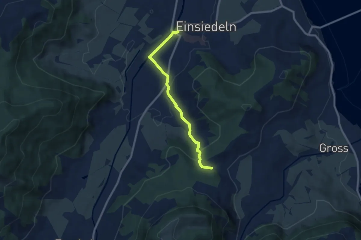
Medium · Trail
Einsiedeln Bahnhof – Einsiedeln Bahnhof -
5.5 km · ↑ 150 m · 1 h 38 min · 15 km away
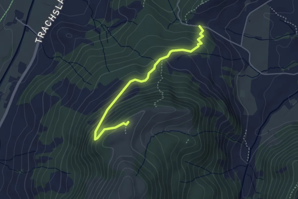
Medium · Summit
Chälen - Ufen Tritt
3.8 km · ↑ 288 m · 1 h 32 min · 15 km away
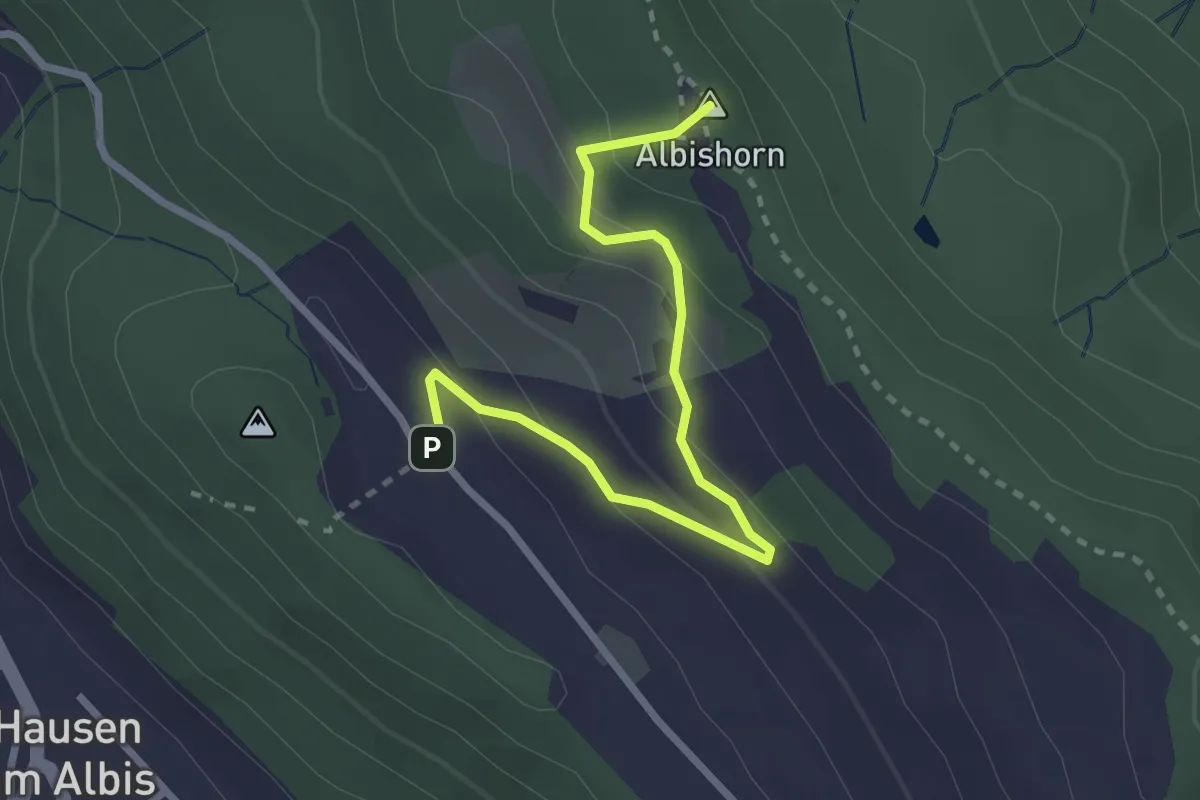
Easy · Summit
Albishorn - Hinter Albis
2.8 km · ↑ 150 m · 59 min · 15 km away
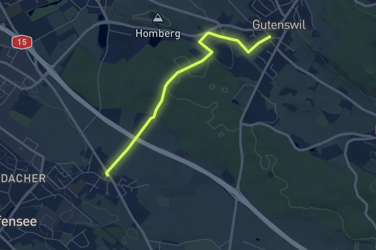
Easy · Trail
Nänikon - Gutenswil
5.8 km · ↑ 96 m · 1 h 35 min · 15 km away
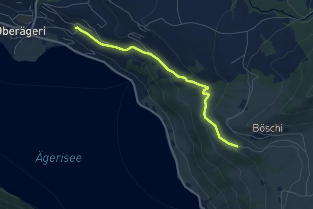
Easy · Trail
Rämsli - Oberägerie
5.4 km · ↑ 204 m · 1 h 43 min · 15 km away
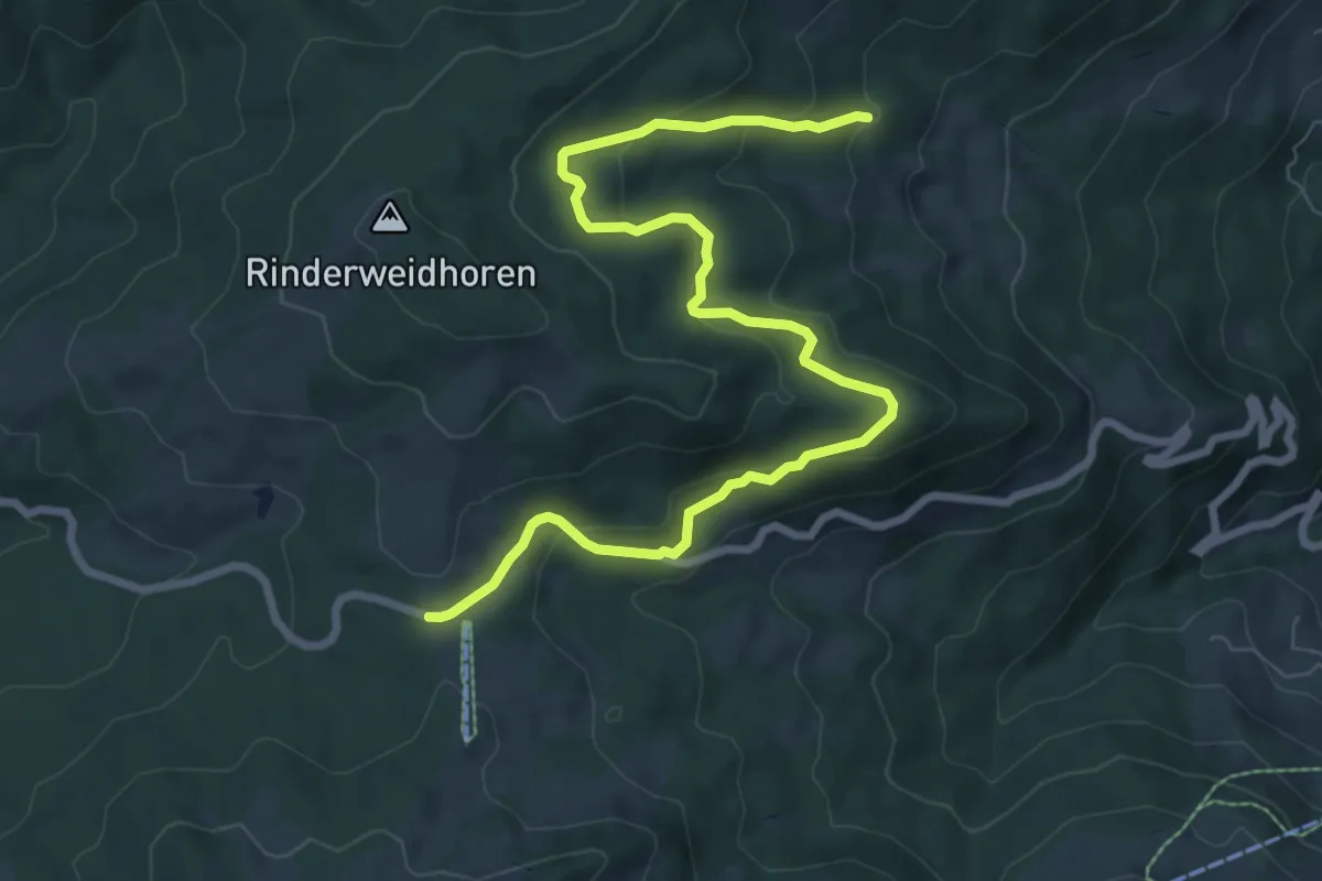
Medium · Trail
Tuggner Hüttli - Sattelegg
9.3 km · ↑ 386 m · 3 h 2 min · 15 km away
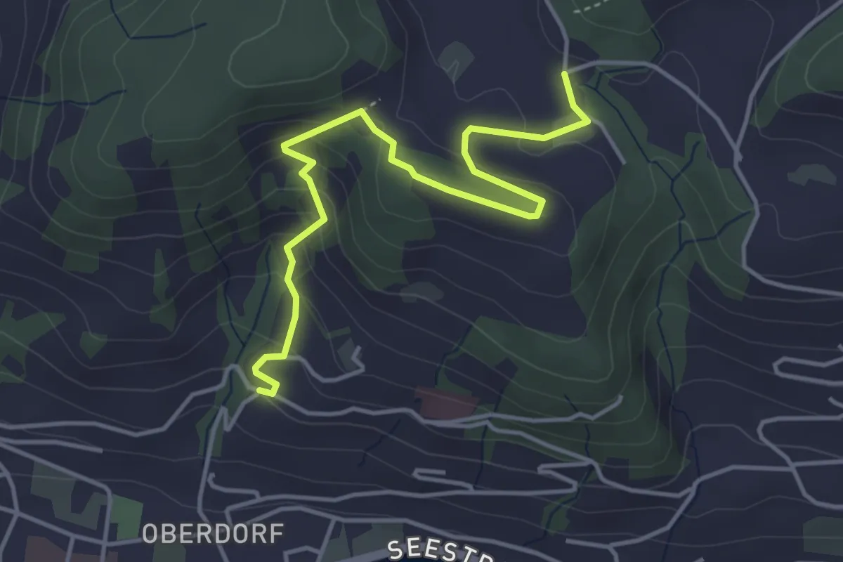
Medium · Trail
Heimhusen - Hinterwiden
4.4 km · ↑ 193 m · 1 h 28 min · 15 km away
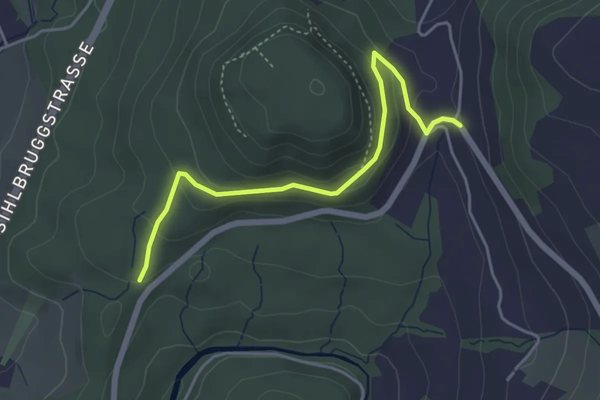
Easy · Trail
Baarburg - Chriesibrunnen
3.8 km · ↑ 157 m · 1 h 14 min · 15 km away
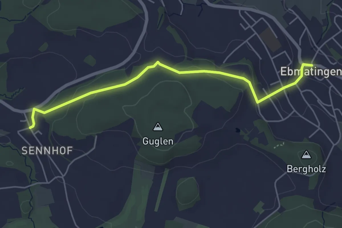
Easy · Trail
Ebmatingen - Sennhof
4.7 km · ↑ 130 m · 1 h 23 min · 15 km away
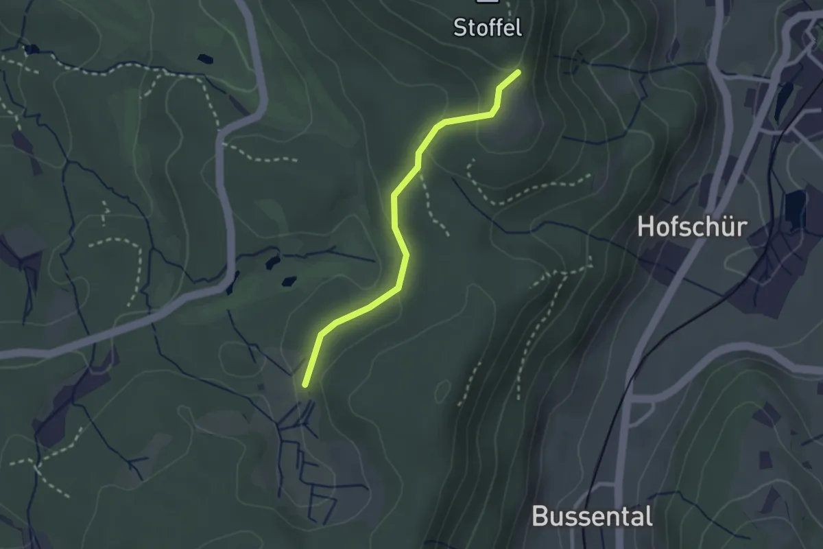
Easy · Trail
Lättenweid - Grabenriet
2.3 km · ↑ 70 m · 41 min · 15 km away
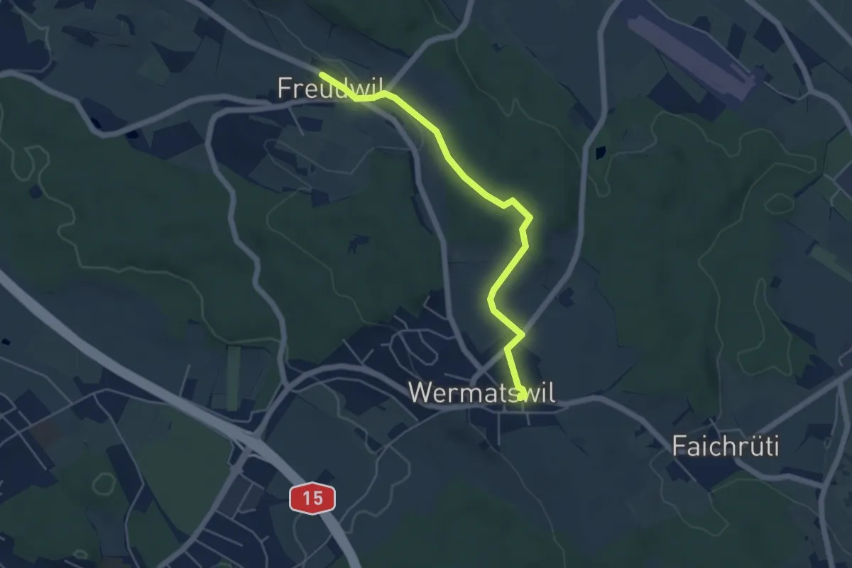
Easy · Trail
Freudwil – Wermatswil
4.6 km · ↑ 77 m · 1 h 16 min · 15 km away
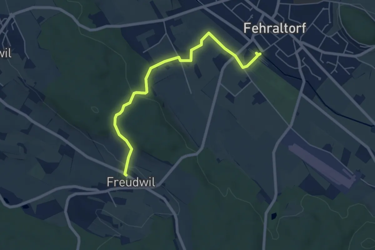
Easy · Trail
Freudwil - Fehraltorf
5.2 km · ↑ 114 m · 1 h 28 min · 15 km away
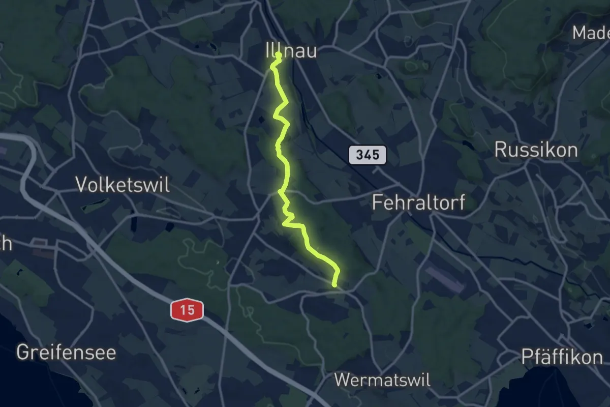
Medium · Trail
Freudwil – Illnau (ost)
9.7 km · ↑ 148 m · 2 h 36 min · 15 km away
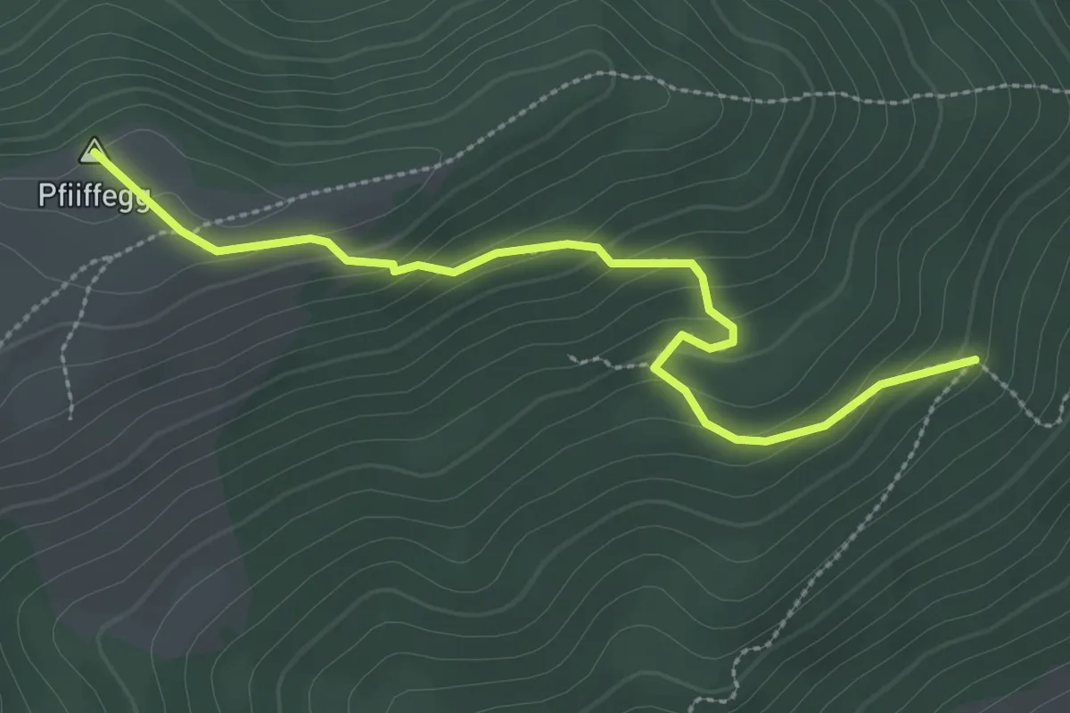
Easy · Summit
Steinwänd - Alp Pfiiffegg
3.0 km · ↑ 177 m · 1 h 5 min · 15 km away
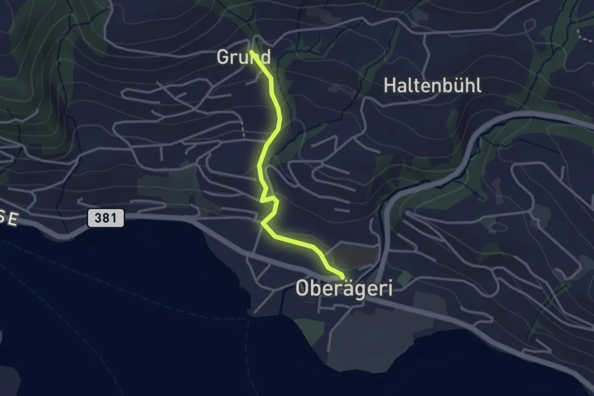
Easy · Trail
Grund - Oberägeri
2.6 km · ↑ 117 m · 52 min · 15 km away
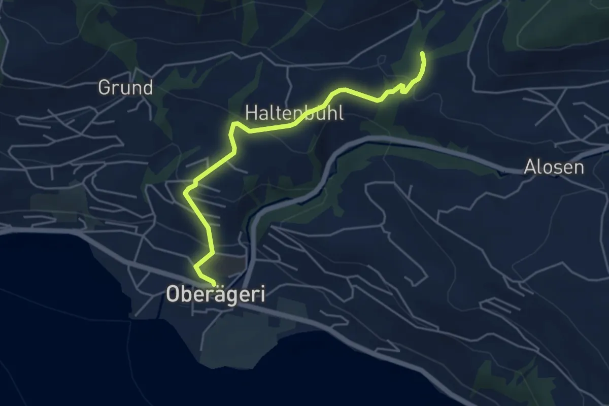
Easy · Trail
Chefibach – Oberägeri
4.3 km · ↑ 181 m · 1 h 24 min · 15 km away
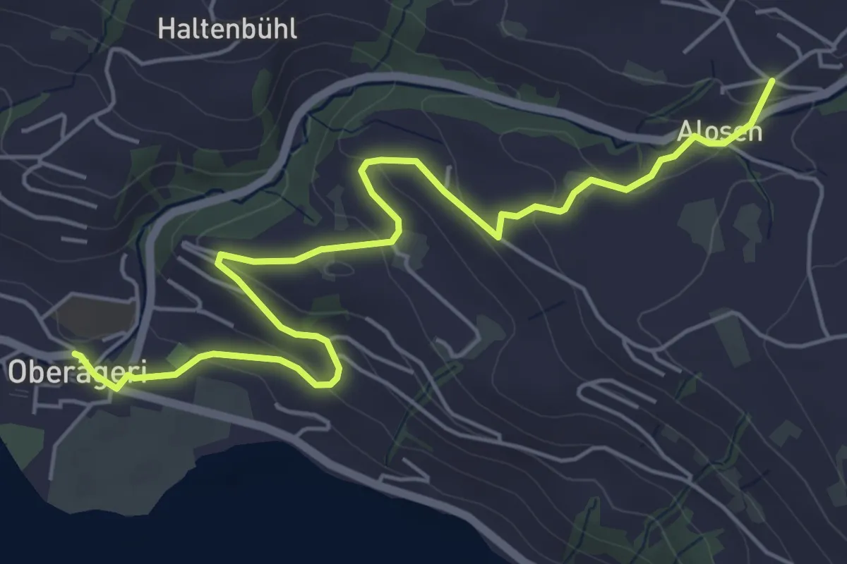
Easy · Trail
Alosen - Oberägeri
6.3 km · ↑ 175 m · 1 h 53 min · 15 km away
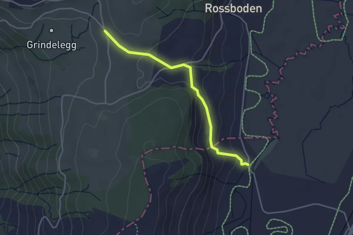
Easy · Trail
Ob Tännli - Tännli Chappeli - Möslibrugg
3.1 km · ↑ 114 m · 58 min · 15 km away
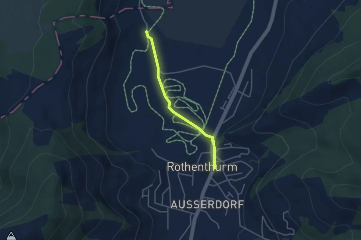
Easy · Trail
Rothenthurm – Möslibrugg
2.6 km · ↑ 19 m · 39 min · 15 km away