Trails near Stans
595 hikes starting within 15 km, nearest first.
Nearest first, page 1 of 13
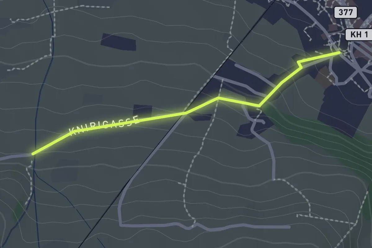
Easy · Trail
Stans Dorfplatz – Christenmatt
2.0 km · ↑ 76 m · 39 min · under 1 km away
Demanding · Trail
Trans Swiss Trail
20.3 km · ↑ 860 m · 6 h 46 min · under 1 km away
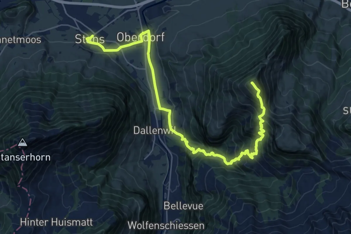
Demanding · Summit
Nidwaldner Zentrumsweg
25.3 km · ↑ 1406 m · 9 h 1 min · under 1 km away
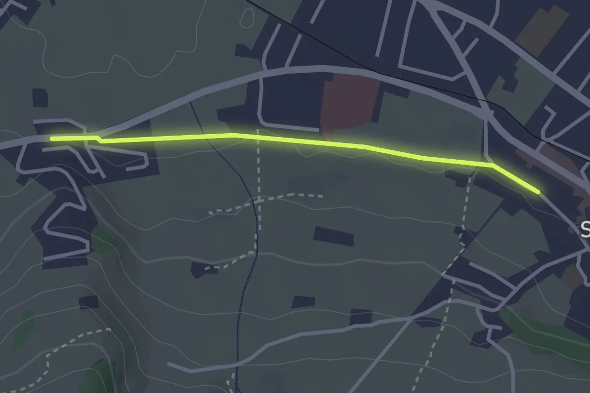
Easy · Trail
Stans Bahnhof – Lewengrueben
2.5 km · ↑ 12 m · 38 min · under 1 km away
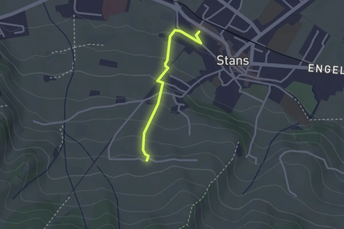
Easy · Trail
Stanserhornbahn – Unter Eggenburg
2.2 km · ↑ 128 m · 47 min · under 1 km away
Easy · Trail
fixme - fixme
3.8 km · ↑ 220 m · 1 h 23 min · 1 km away
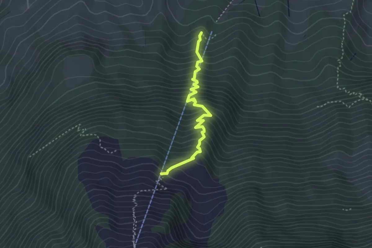
Medium · Trail
Wasserplatten – Bluematt
3.2 km · ↑ 498 m · 1 h 50 min · 2 km away
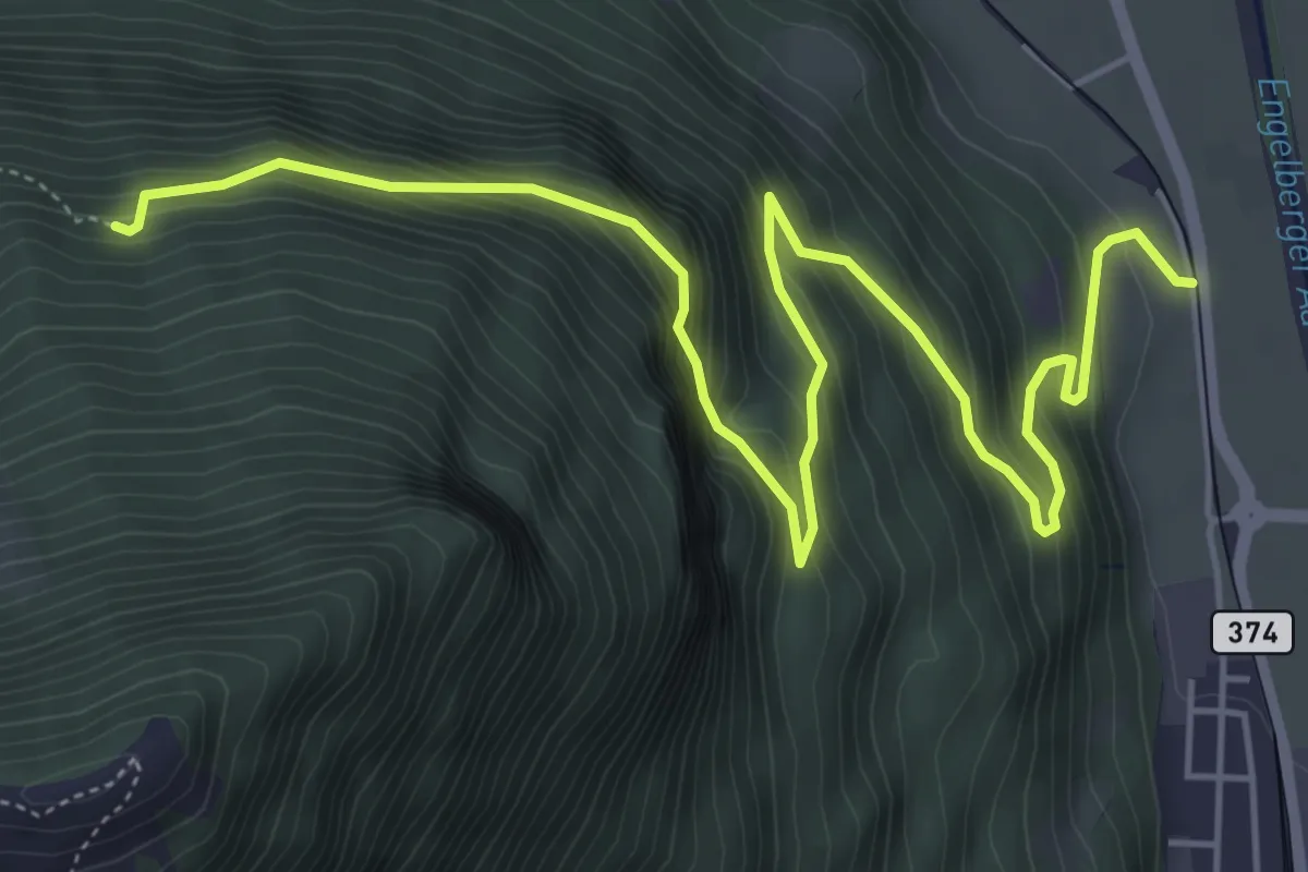
Demanding · Trail
Luegeren – Ägertli
7.1 km · ↑ 809 m · 3 h 25 min · 2 km away
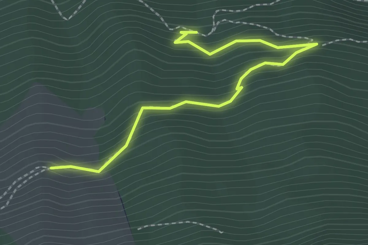
Easy · Trail
Luegeren – Chalcherli
2.3 km · ↑ 186 m · 56 min · 2 km away
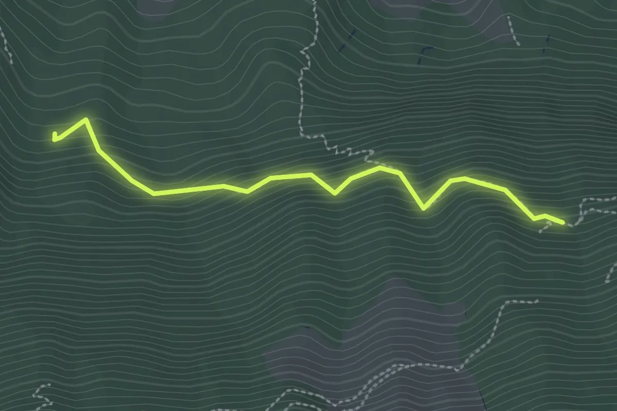
Easy · Trail
Luegeren – Cholplätzli
2.6 km · ↑ 317 m · 1 h 17 min · 2 km away
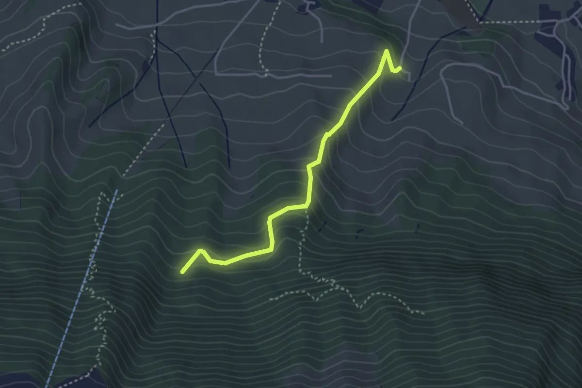
Easy · Trail
Chlostermatt – Cholplätzli
3.4 km · ↑ 313 m · 1 h 28 min · 2 km away
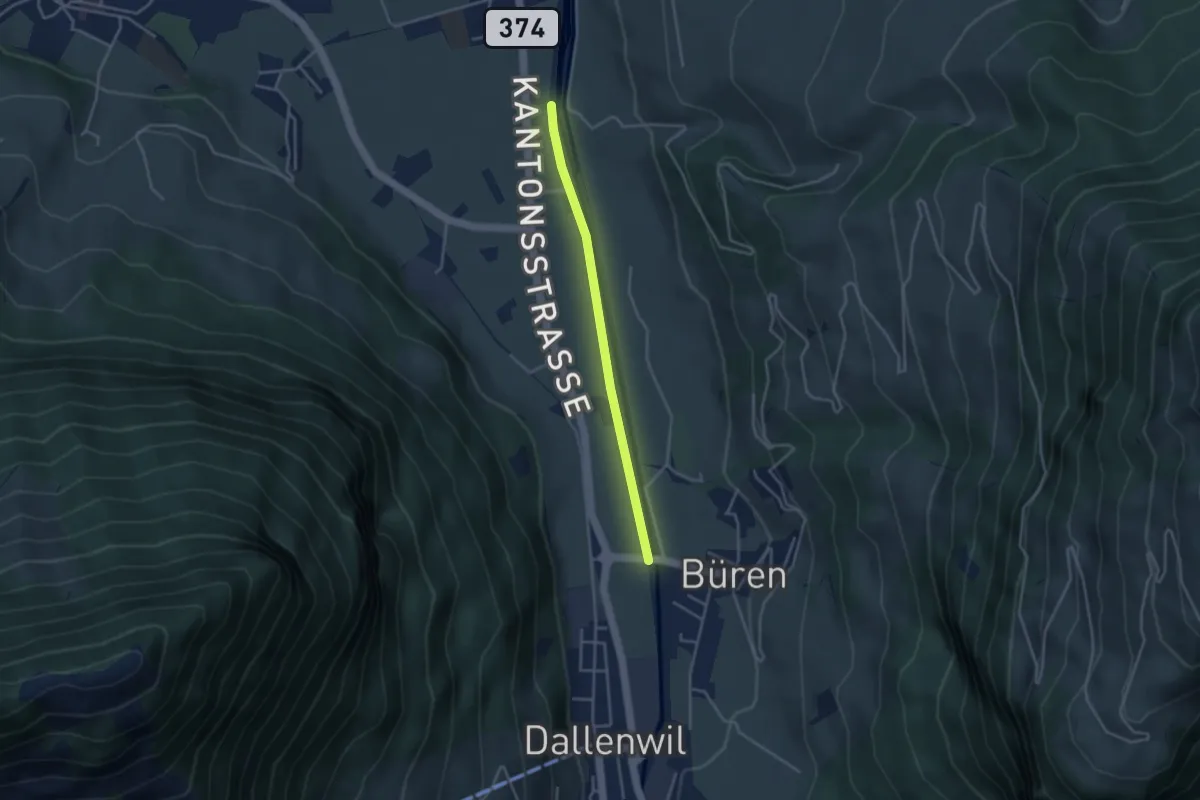
Easy · Trail
Bürenbrücke – Hostettenstäg
3.3 km · ↑ 9 m · 47 min · 2 km away
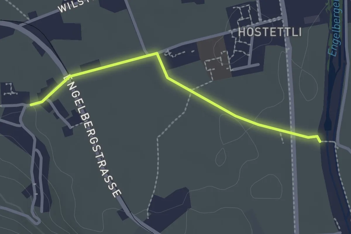
Easy · Trail
Hostettenstäg – St. Heinrich
2.2 km · ↑ 8 m · 32 min · 2 km away
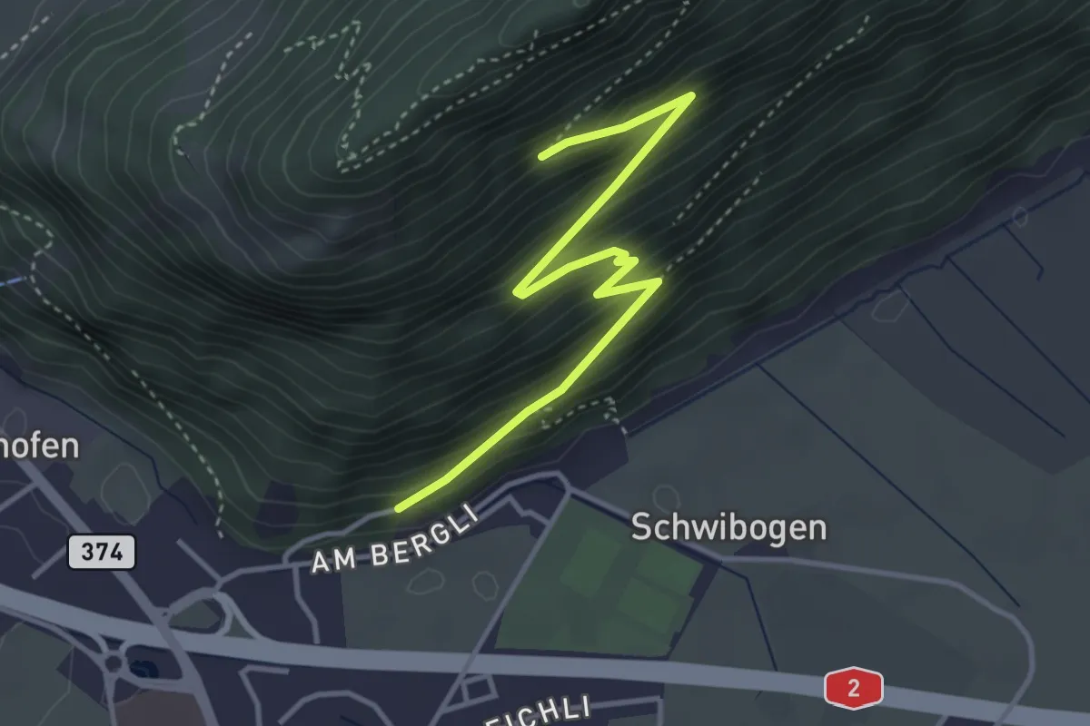
Medium · Trail
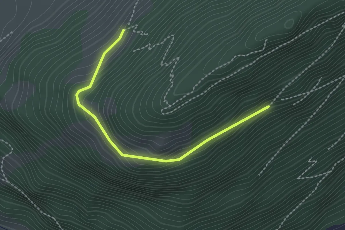
Bürgenberg - fixme
3.7 km · ↑ 351 m · 1 h 39 min · 2 km away
Easy · Trail
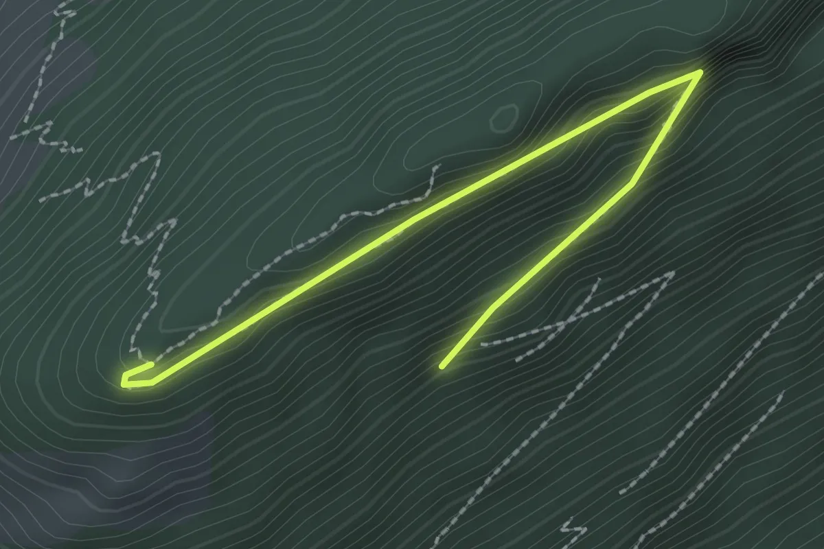
Bürgenberg – Seewliweid
2.2 km · ↑ 120 m · 47 min · 2 km away
Easy · Trail
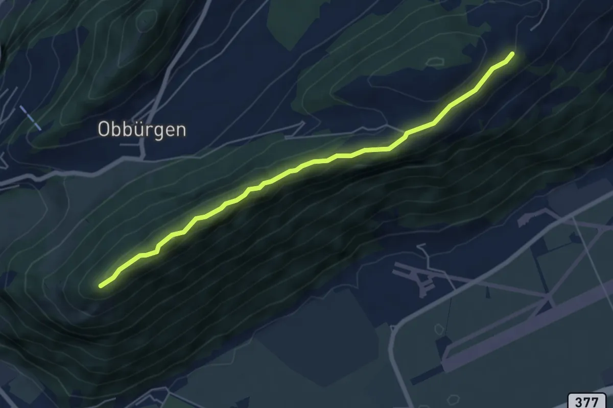
Bürgenberg – Seewligrat
2.5 km · ↑ 128 m · 52 min · 2 km away
Easy · Trail
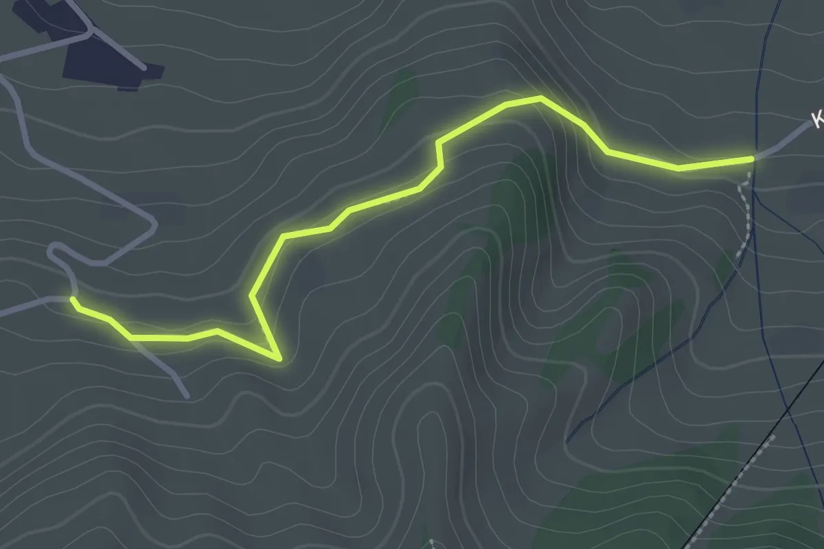
Ätschenried – Seewligrat
5.6 km · ↑ 217 m · 1 h 47 min · 2 km away
Easy · Trail
Murmatt – Christenmatt
2.8 km · ↑ 137 m · 57 min · 2 km away
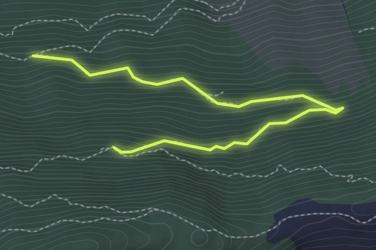
Medium · Trail
Lang Zug – Ahornhütte
2.8 km · ↑ 255 m · 1 h 13 min · 2 km away
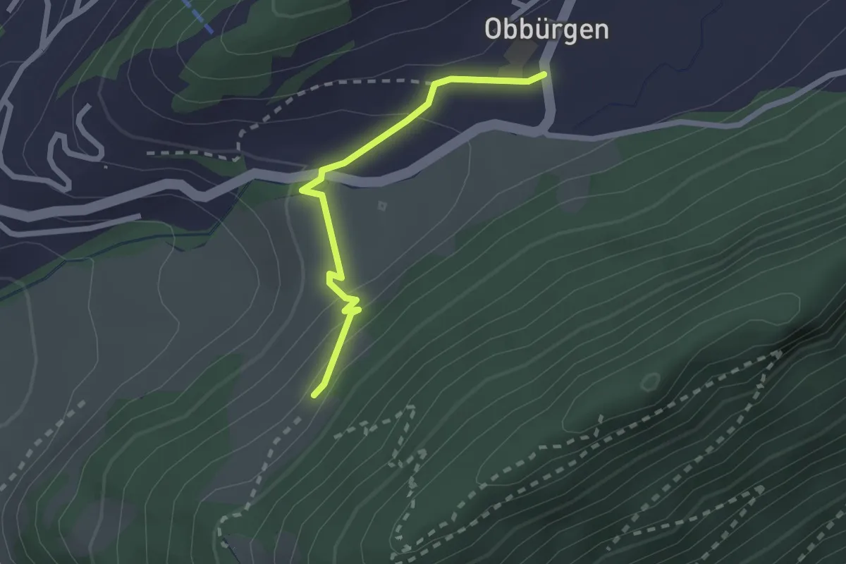
Easy · Trail
Seewliweid – Obbürgen
2.0 km · ↑ 89 m · 39 min · 2 km away
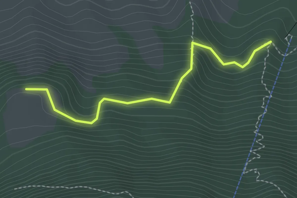
Easy · Trail
Äbnetboden – Wasserplatten
2.2 km · ↑ 189 m · 56 min · 2 km away
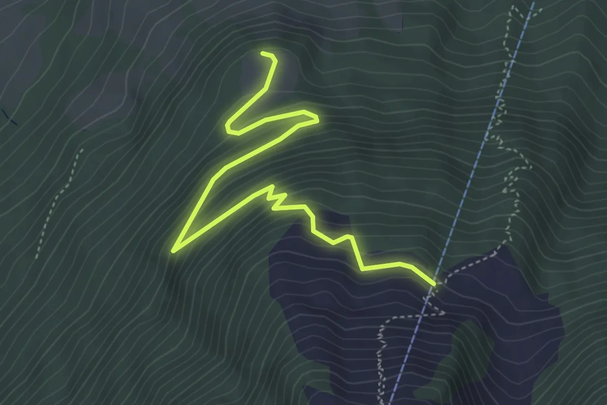
Medium · Trail
Äbnetboden – Bluematt
4.9 km · ↑ 390 m · 2 h 1 min · 2 km away
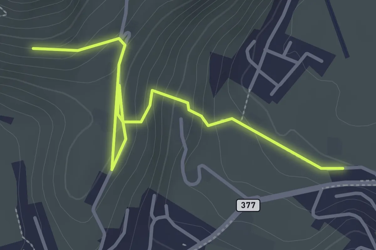
Easy · Trail
Lewengrueben - Burg
3.3 km · ↑ 150 m · 1 h 6 min · 2 km away
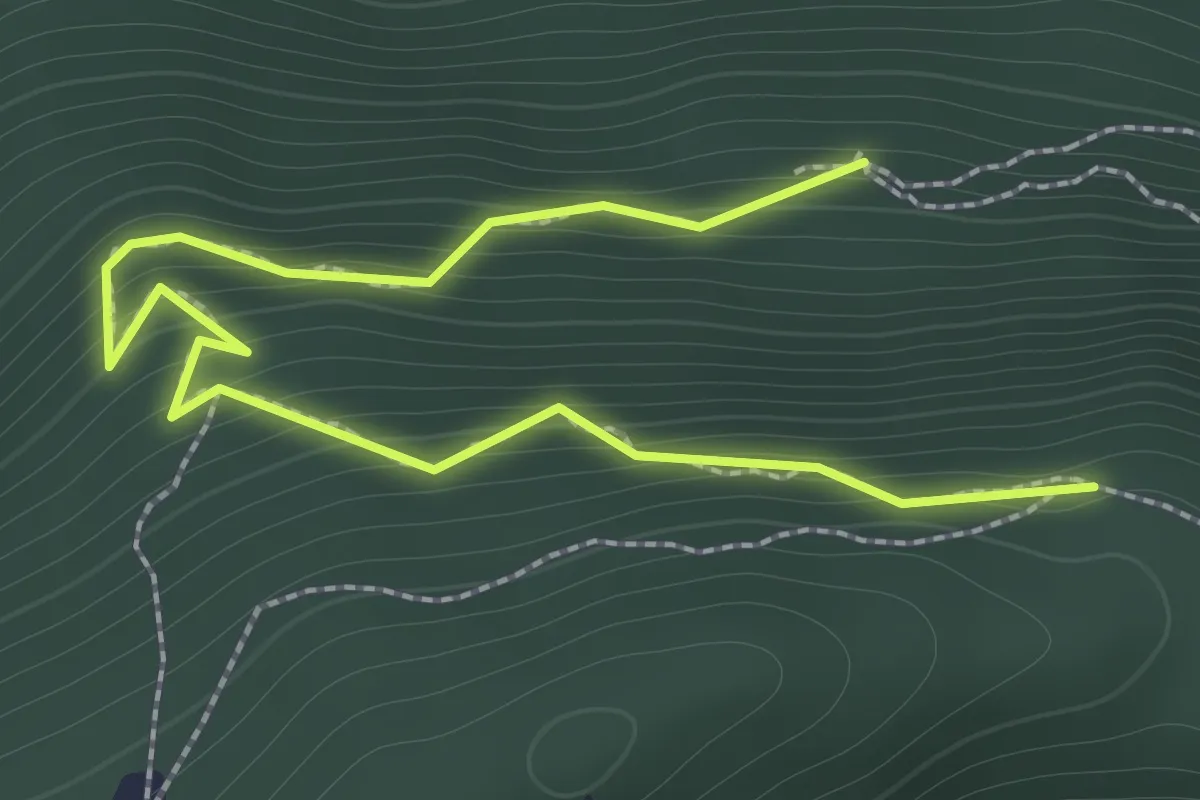
Easy · Trail
Ahornhütte – Muetergotteswald
2.1 km · ↑ 293 m · 1 h 7 min · 2 km away
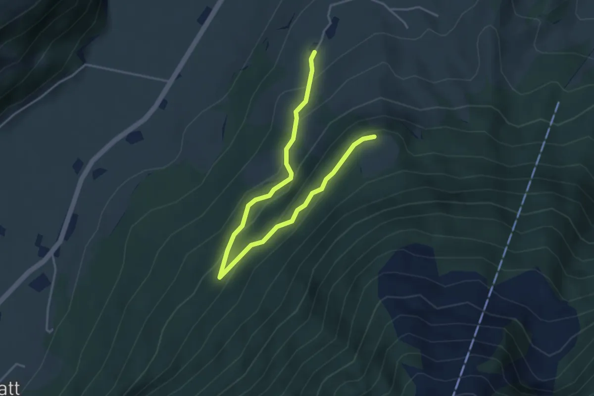
Easy · Trail
Brunnisboden – Äbnetboden
4.5 km · ↑ 272 m · 1 h 39 min · 2 km away
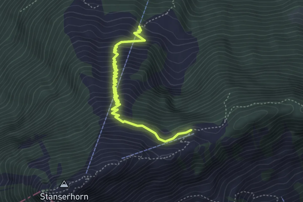
Medium · Trail
Bluematt – Rinderalp
4.3 km · ↑ 488 m · 2 h 4 min · 2 km away
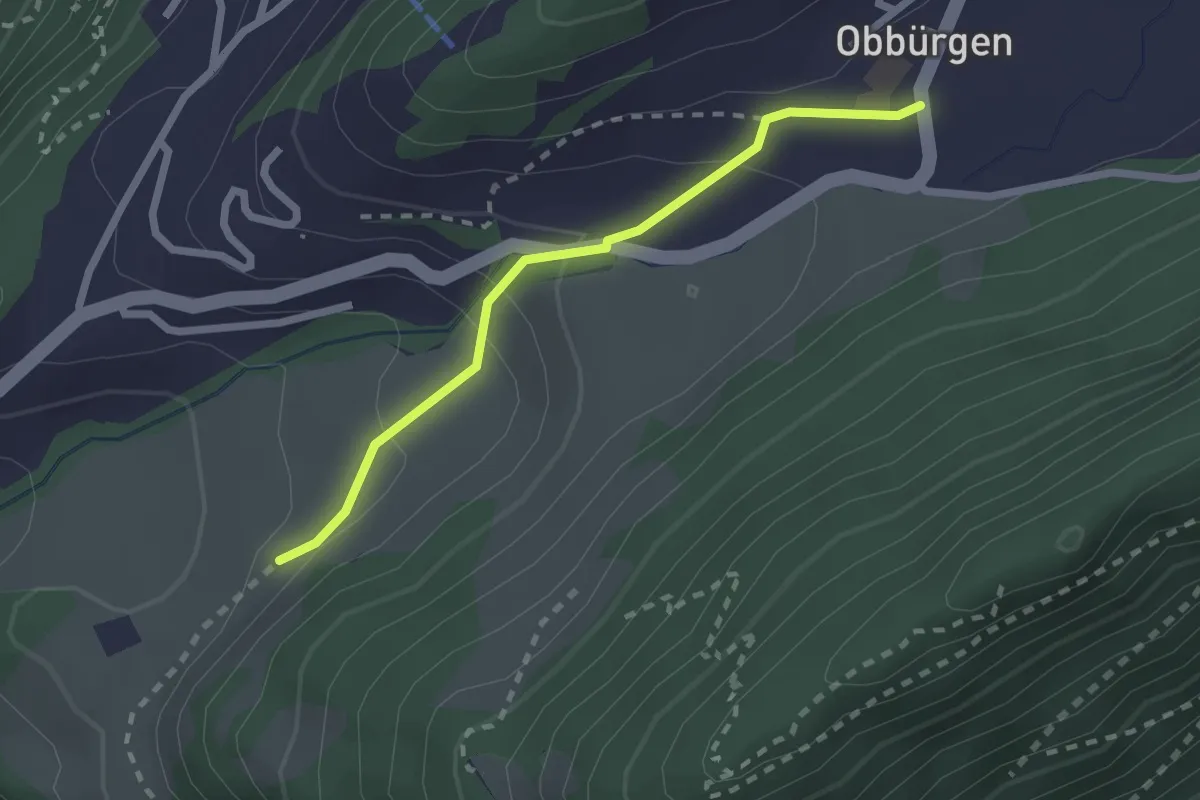
Easy · Trail
Ober Huis – Obbürgen
2.1 km · ↑ 118 m · 45 min · 2 km away
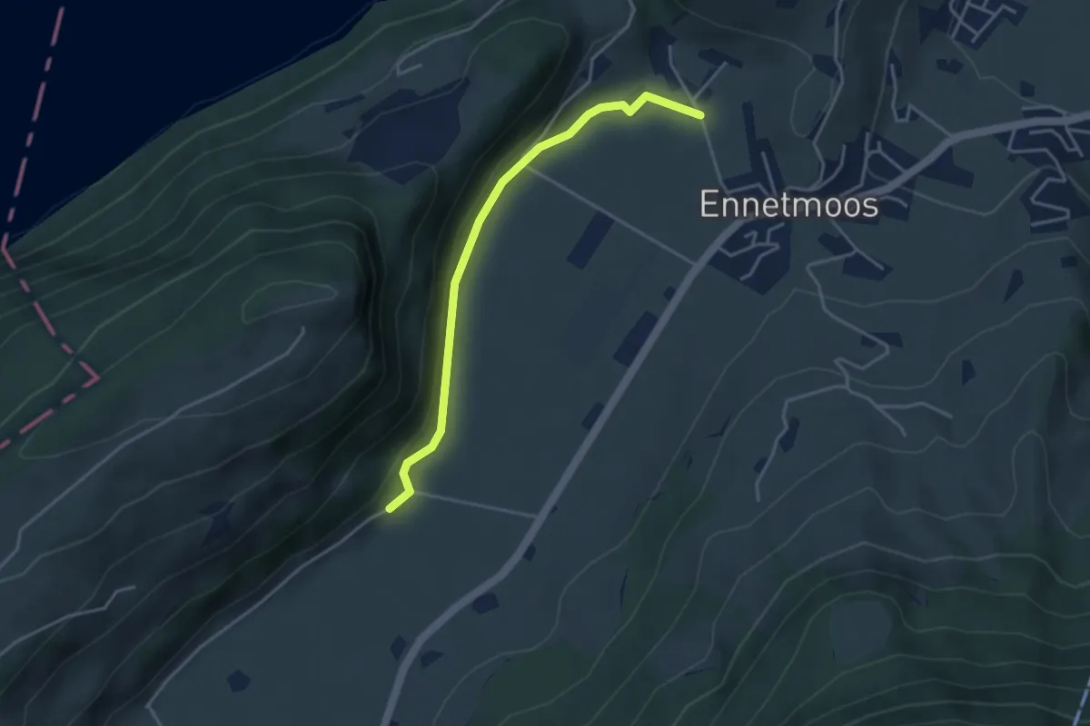
Easy · Trail
Betti – Drachenried
3.6 km · ↑ 76 m · 1 h 1 min · 2 km away
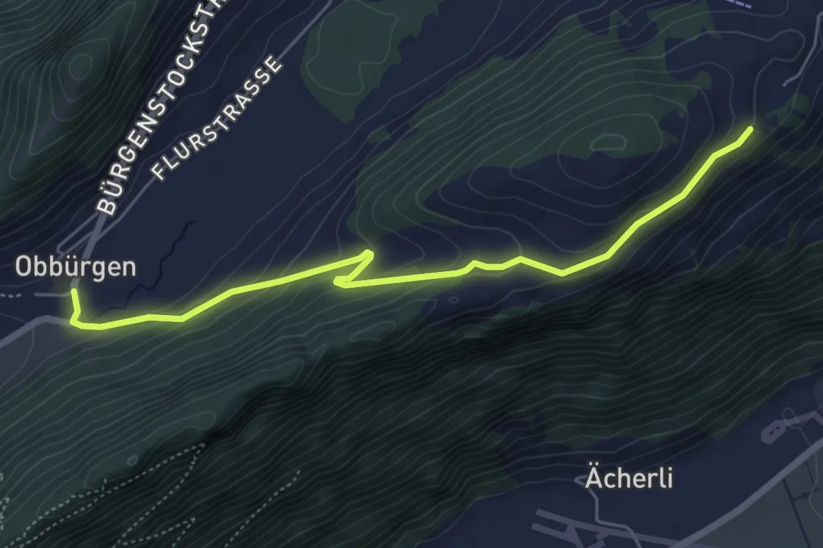
Easy · Trail
Obbürgen – Ätschenried
5.4 km · ↑ 211 m · 1 h 44 min · 3 km away
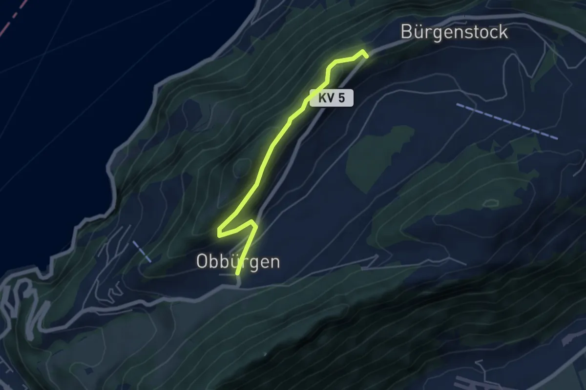
Easy · Trail
Obbürgen - Bürgenstock
4.5 km · ↑ 268 m · 1 h 39 min · 3 km away
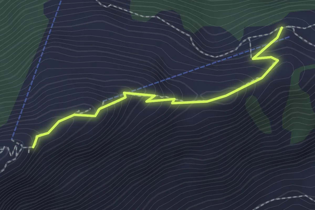
Medium · Trail
Rindermatt – Stanserhorn
2.0 km · ↑ 212 m · 56 min · 3 km away
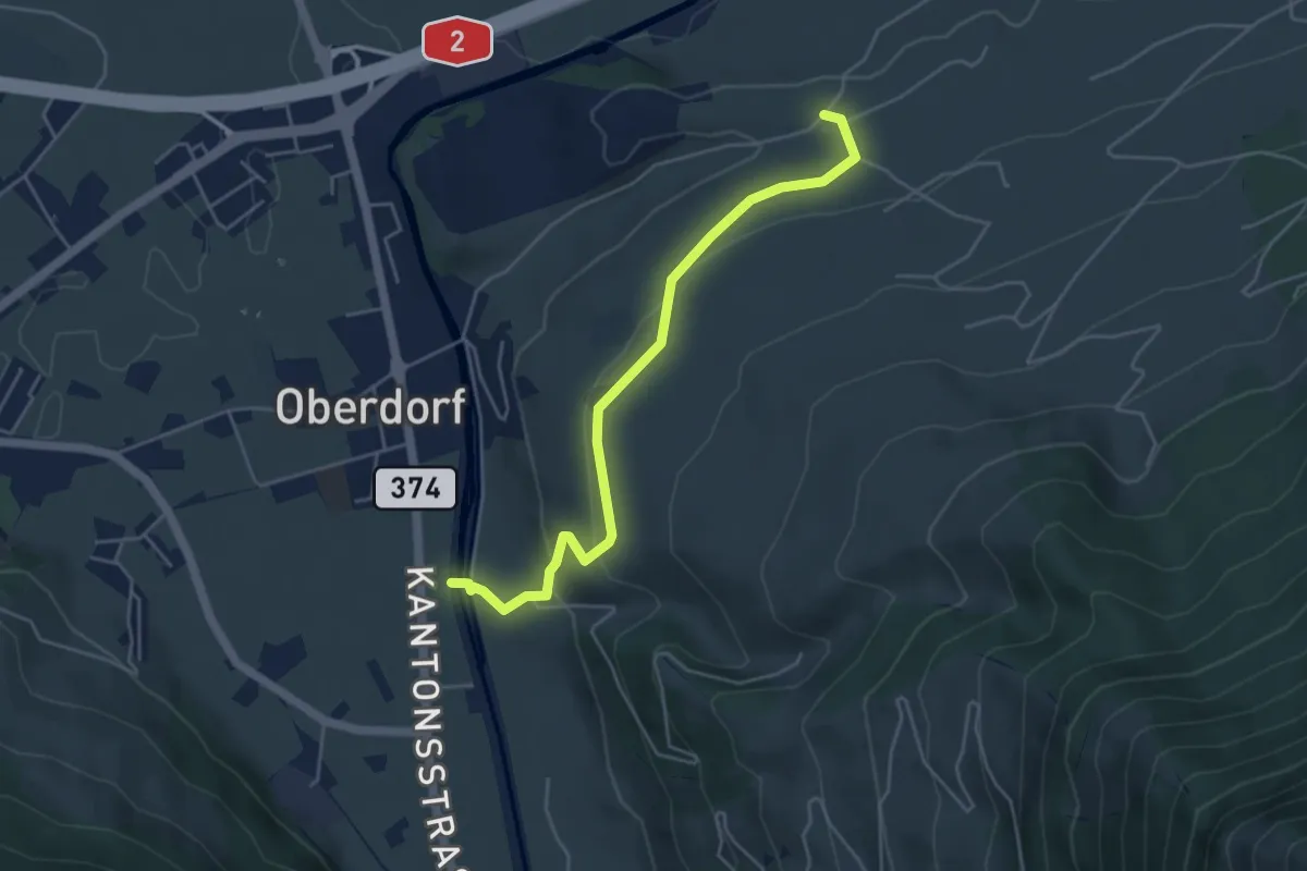
Easy · Trail
Ännerberg – Hostettenstäg
4.7 km · ↑ 158 m · 1 h 27 min · 3 km away
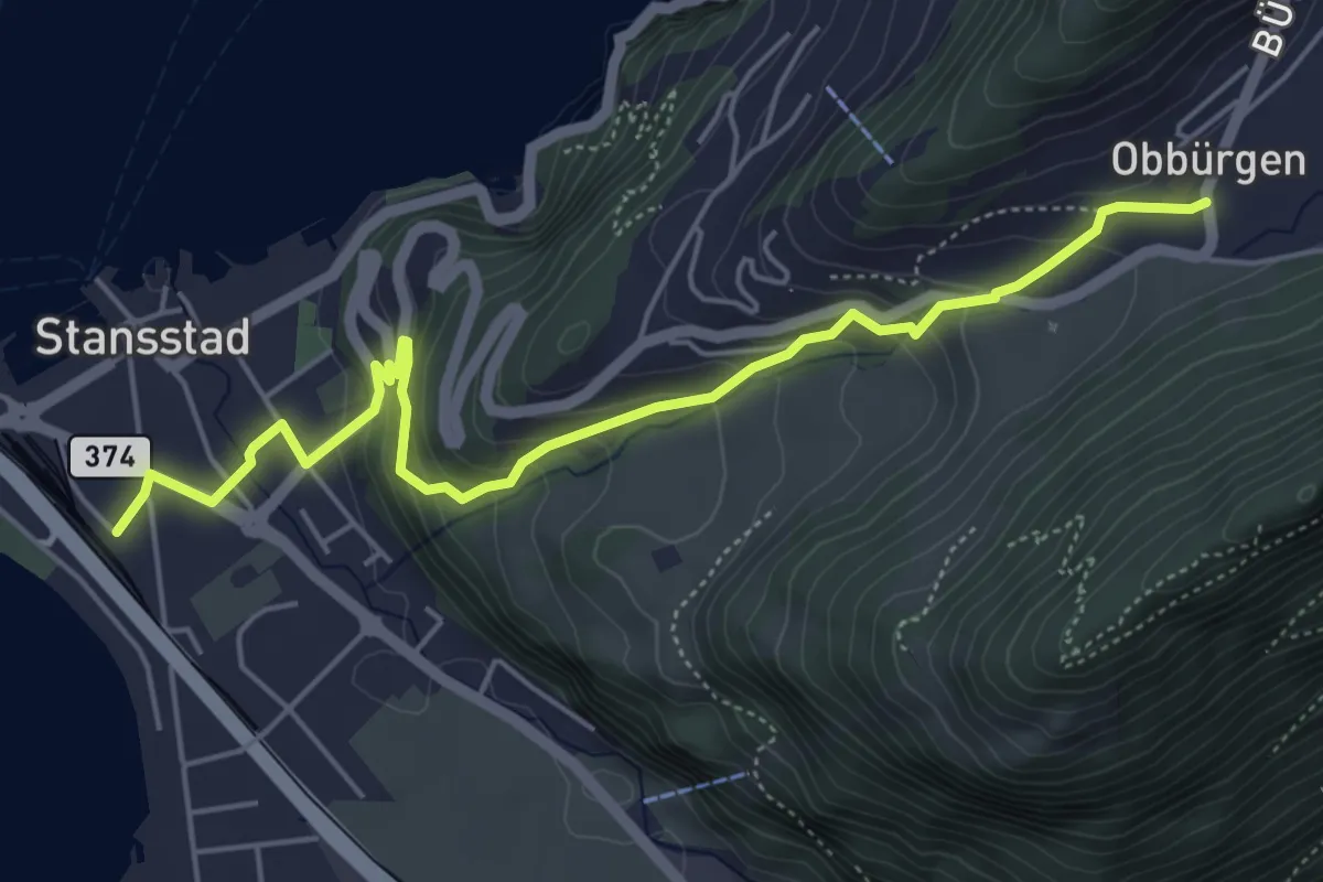
Medium · Trail
Obbürgen – Stansstad
5.7 km · ↑ 344 m · 2 h 5 min · 3 km away
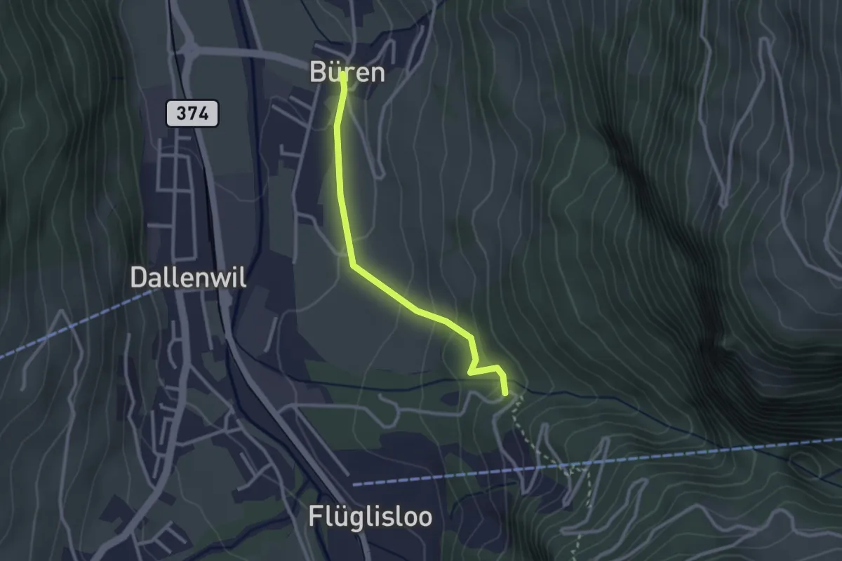
Easy · Trail
Geissteg – Büren
2.4 km · ↑ 117 m · 49 min · 3 km away
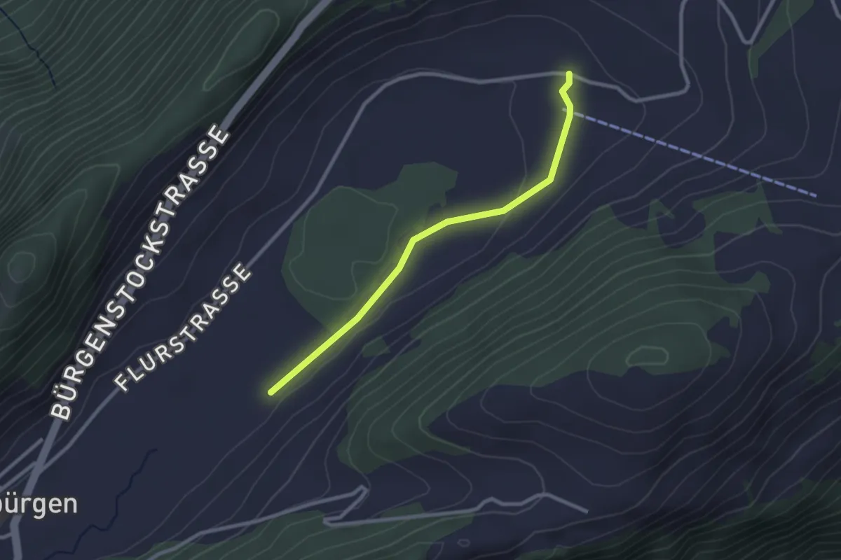
Easy · Trail
Boden - fixme
2.5 km · ↑ 14 m · 37 min · 3 km away
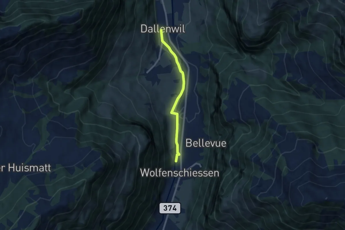
Easy · Trail
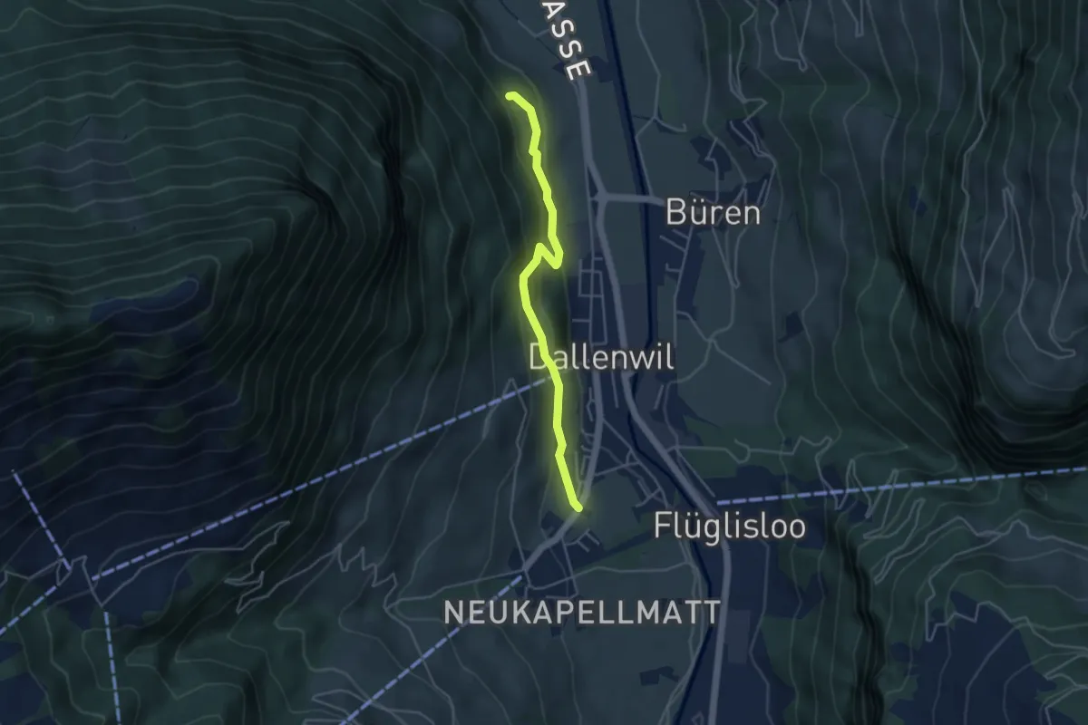
Dallenwil – Wolfenschiessen
5.7 km · ↑ 28 m · 1 h 25 min · 3 km away
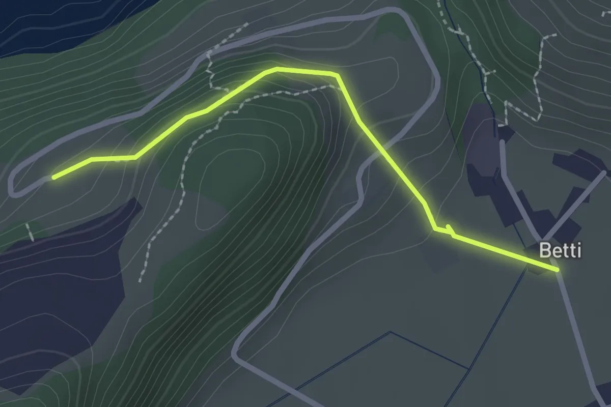
Easy · Trail
Betti - Oberrüti
2.1 km · ↑ 81 m · 41 min · 3 km away
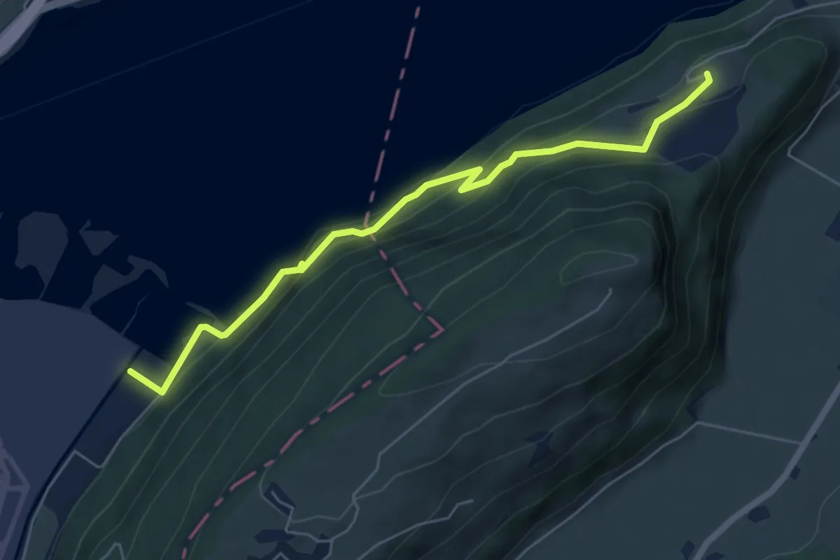
Medium · Trail
Eichiried - Oberrüti
5.9 km · ↑ 437 m · 2 h 21 min · 3 km away
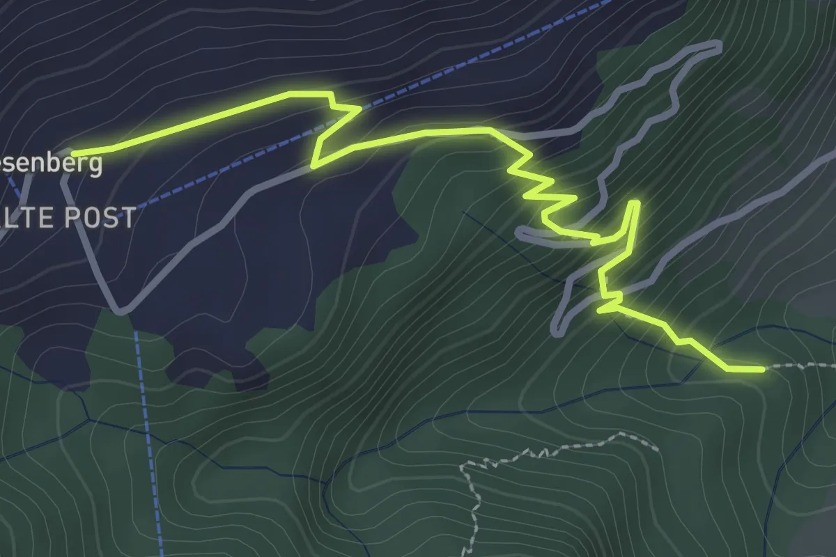
Easy · Trail
Heinziwald – Wiesenberg
3.2 km · ↑ 305 m · 1 h 25 min · 3 km away
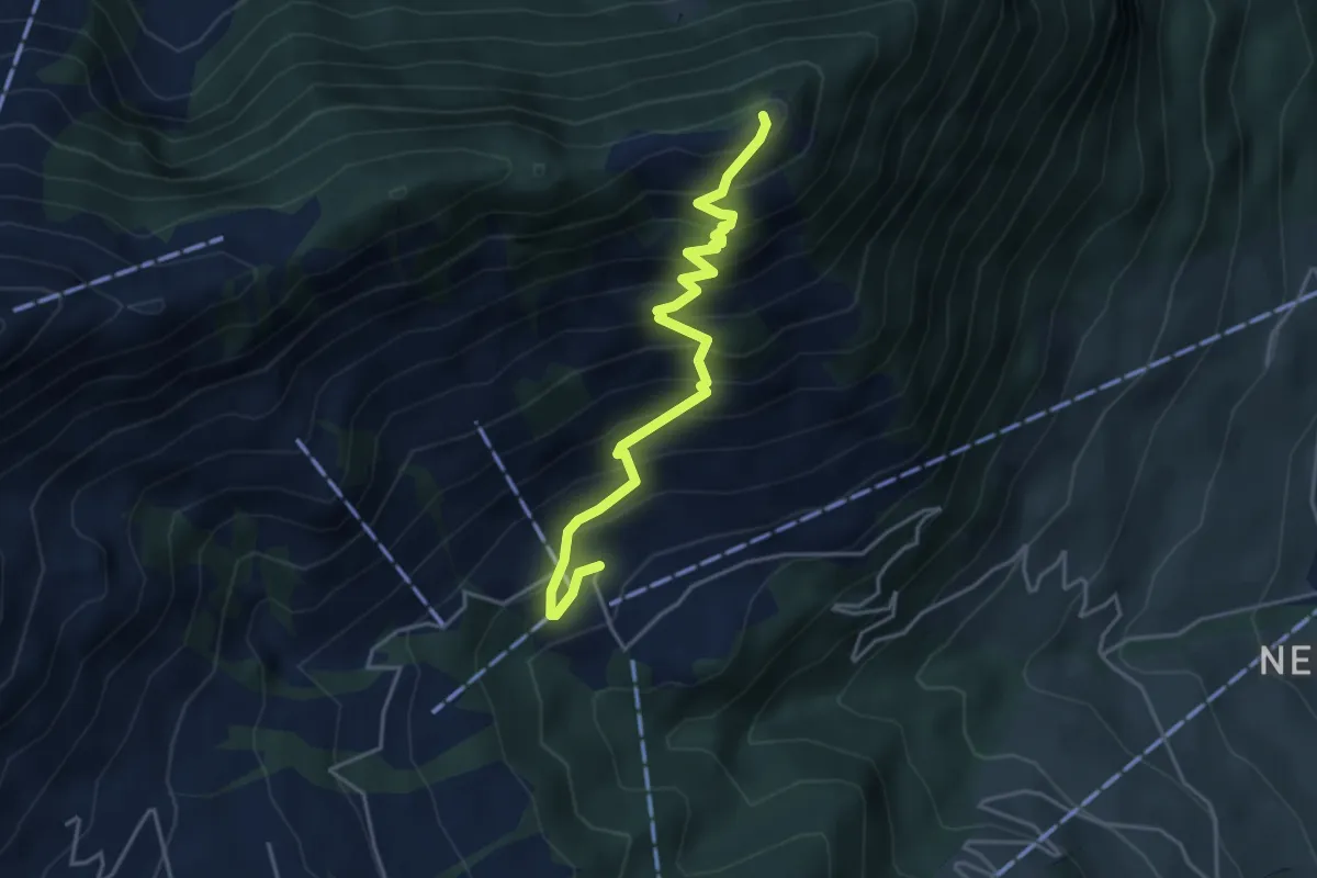
Medium · Trail
Blatti – Wiesenberg
4.3 km · ↑ 537 m · 2 h 10 min · 3 km away
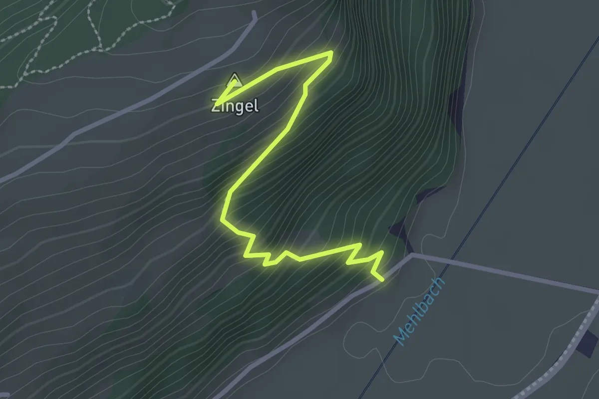
Easy · Summit
Drachenried – Neumatt
2.6 km · ↑ 285 m · 1 h 15 min · 4 km away
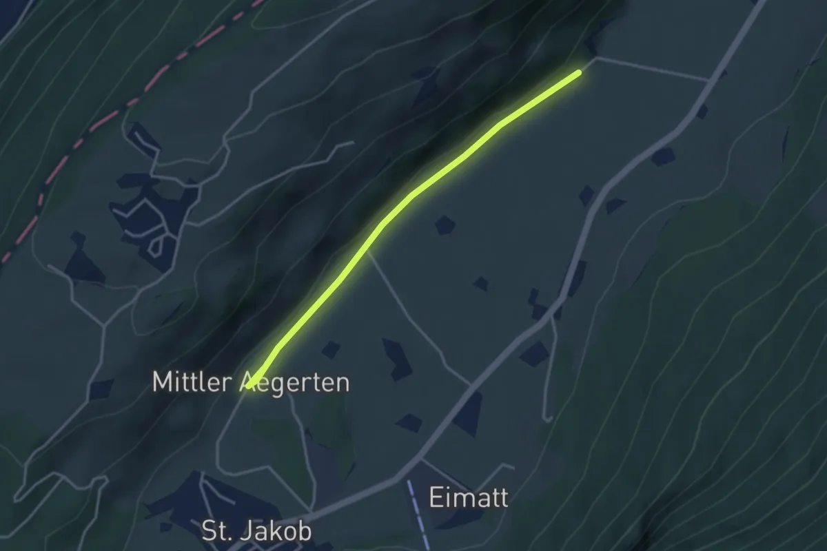
Easy · Trail
Drachenried – Mittelägerten
3.3 km · ↑ 46 m · 53 min · 4 km away
Easy · Trail
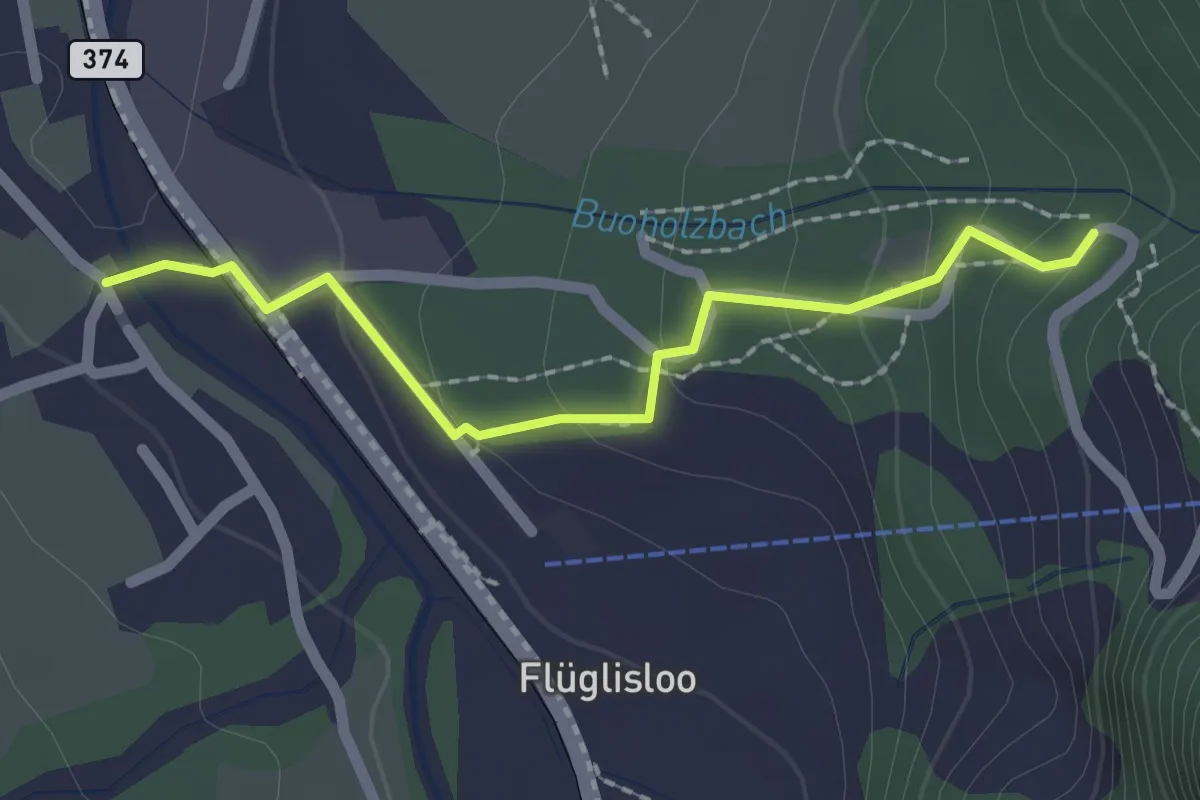
- Niederrickenbach
2.0 km · ↑ 103 m · 41 min · 4 km away
Medium · Summit
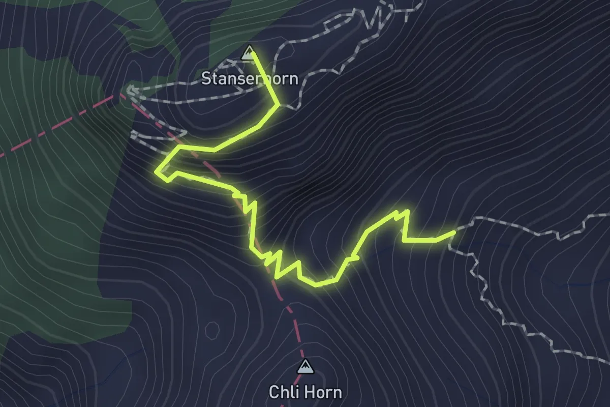
Stanserhorn – Chrinnen
1.9 km · ↑ 282 m · 1 h 3 min · 4 km away
Medium · Trail
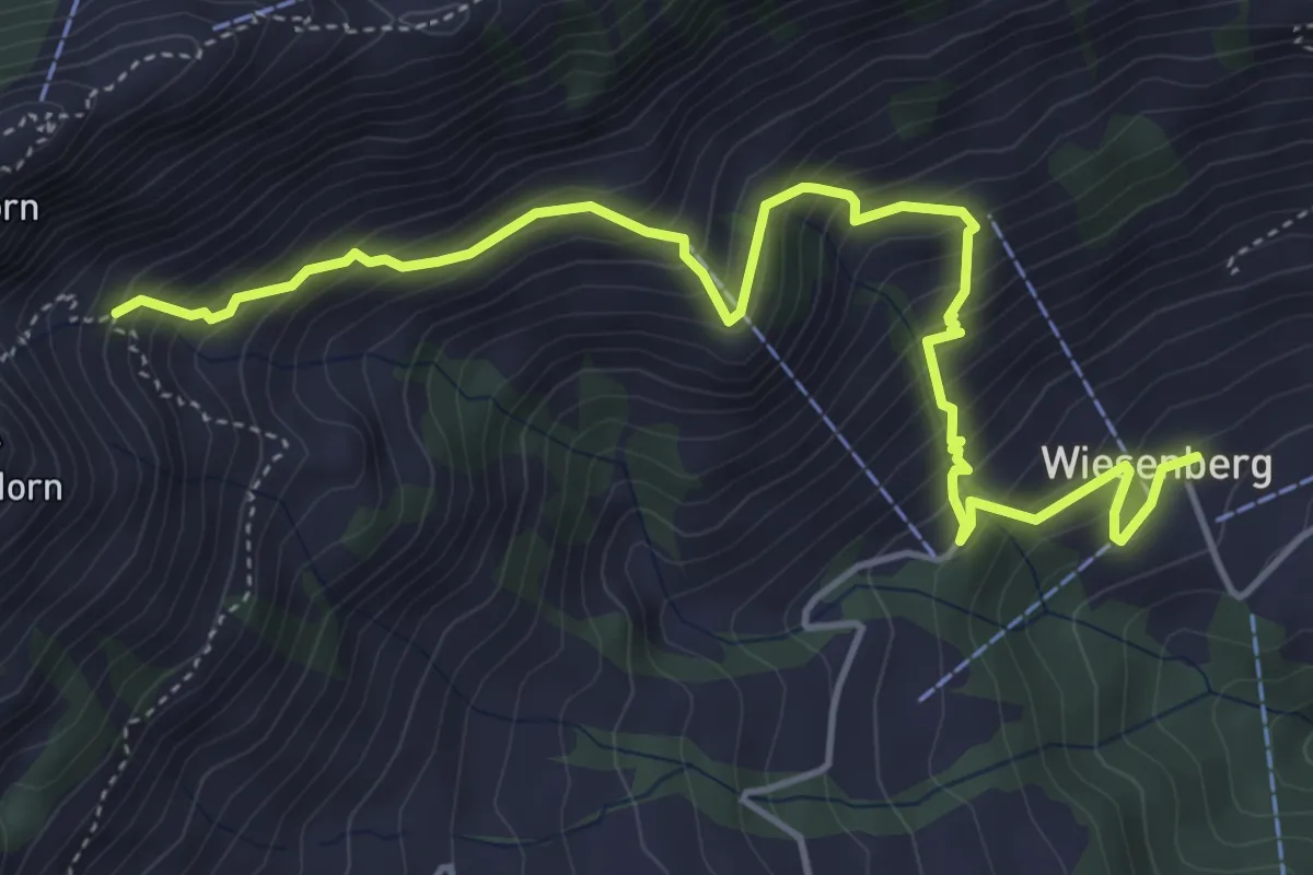
Wiesenberg – Chrinnen
5.5 km · ↑ 632 m · 2 h 40 min · 4 km away
Medium · Trail
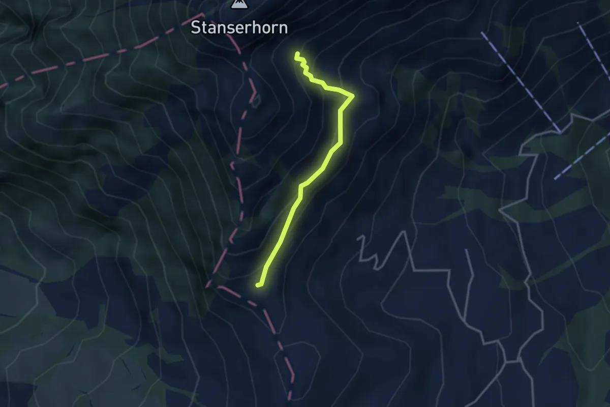
Chrinnen – Ober Holzwang
2.7 km · ↑ 245 m · 1 h 10 min · 4 km away
Easy · Trail
Hof – Zelgersrank
4.0 km · ↑ 191 m · 1 h 21 min · 4 km away
Easy · Summit
Rundgang /circular trail
1.0 km · ↑ 121 m · 31 min · 4 km away