Trails near Stans
595 hikes starting within 15 km, nearest first.
Nearest first, page 2 of 13
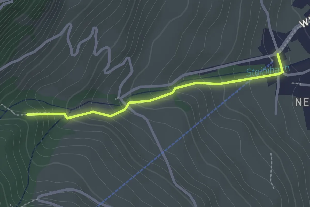
Easy · Trail
Talstation Wirzwelibahn – Heinziwald
2.1 km · ↑ 168 m · 51 min · 4 km away
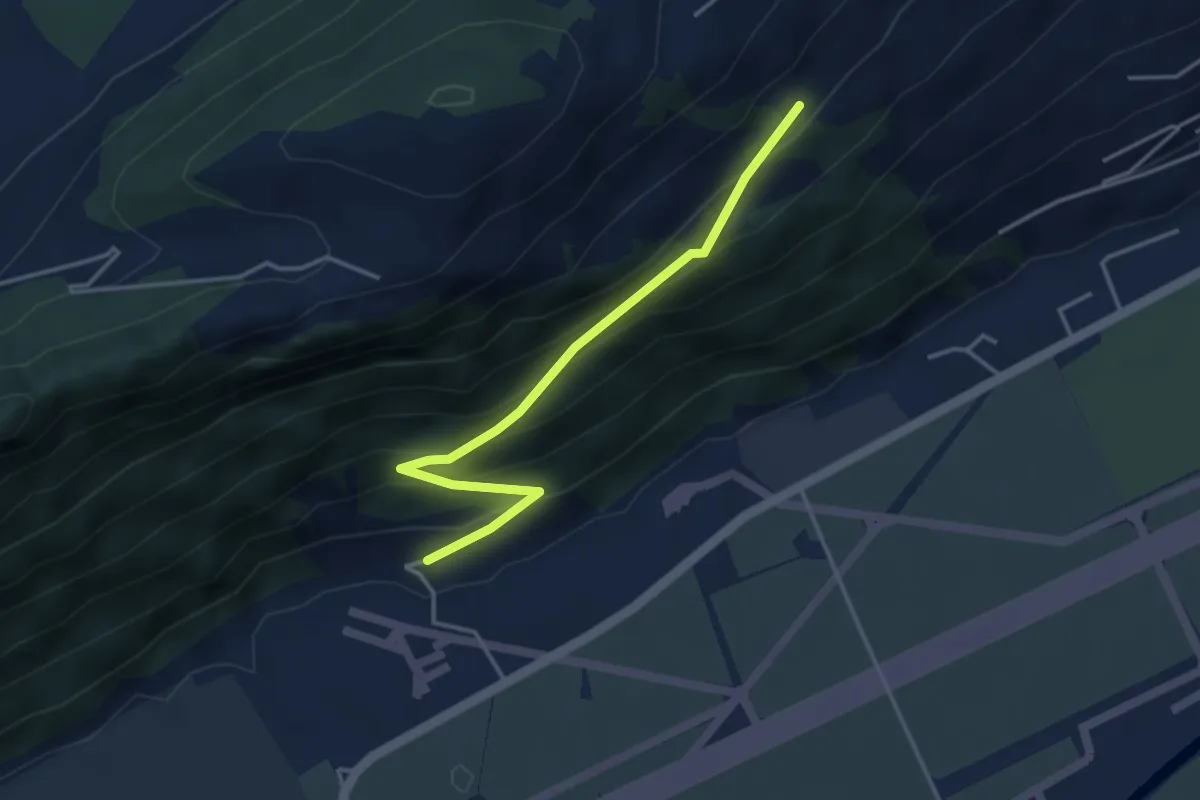
Easy · Trail
Ätschenried – Pilatuswerke
3.7 km · ↑ 296 m · 1 h 31 min · 4 km away
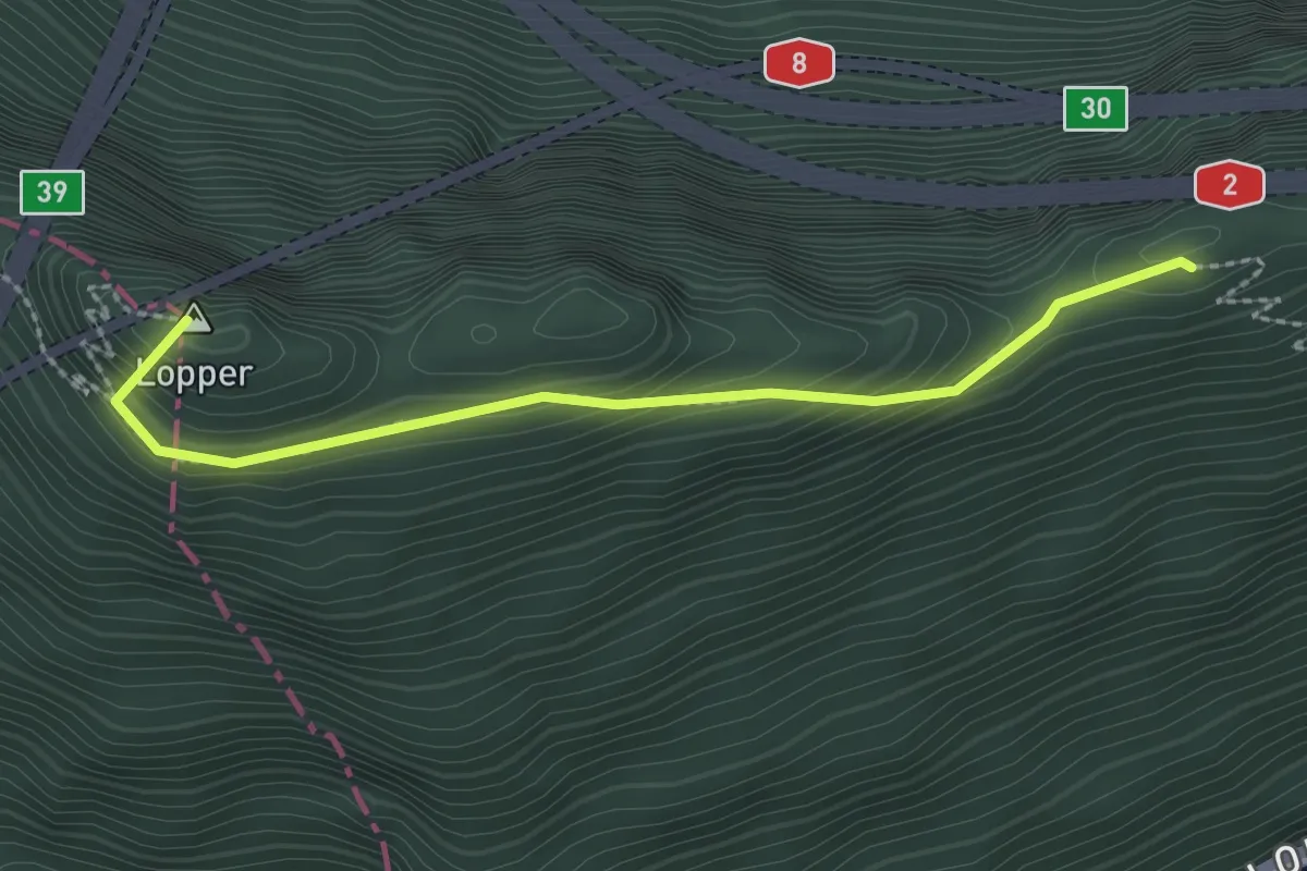
Medium · Summit
Renggpass – Lopperberg
2.4 km · ↑ 296 m · 1 h 12 min · 4 km away
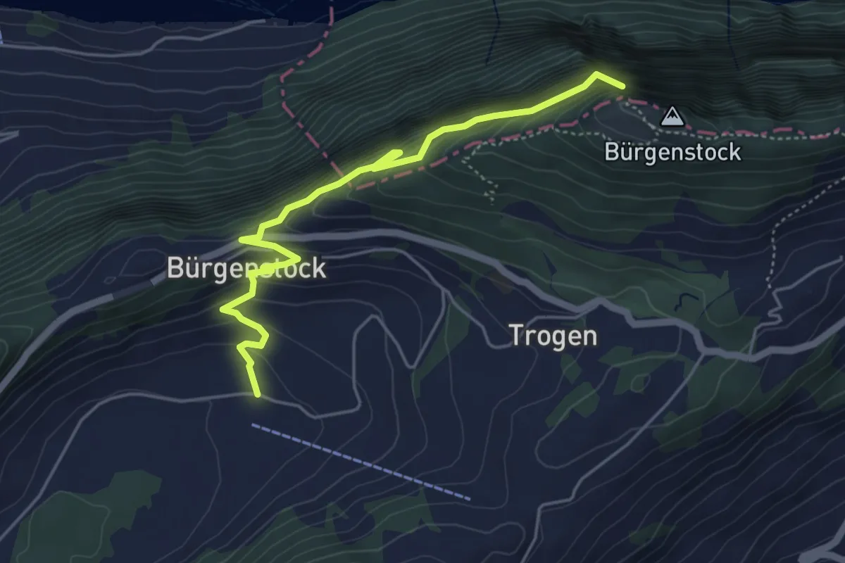
Medium · Trail
Hametschwand Lift - Boden
5.0 km · ↑ 587 m · 2 h 27 min · 4 km away
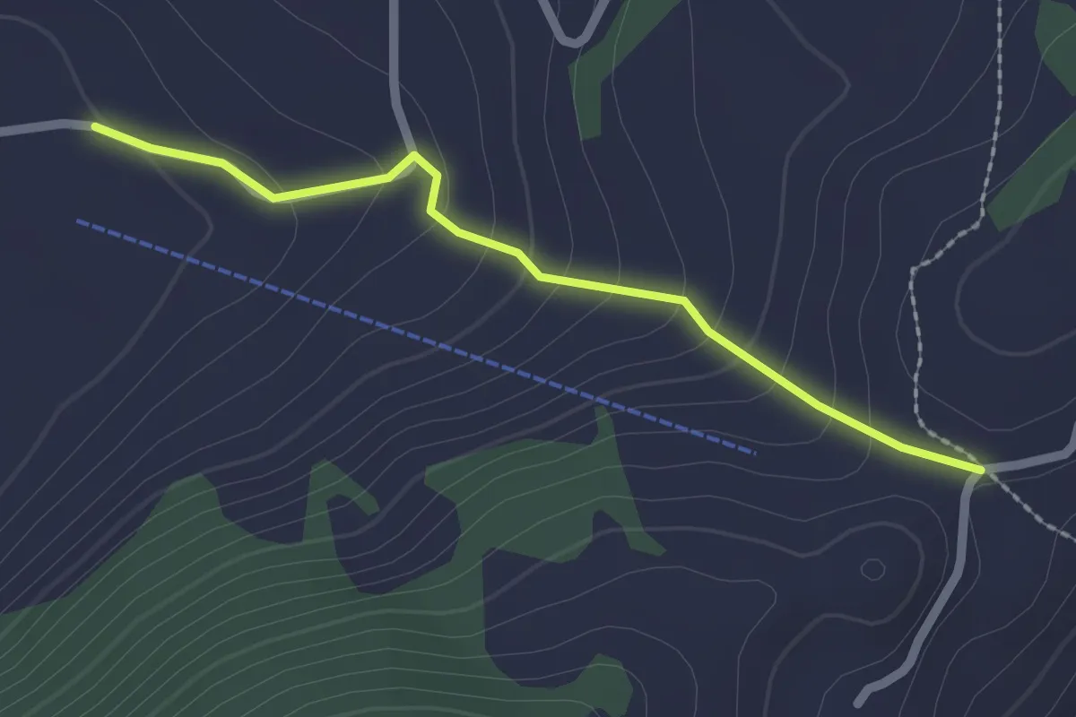
Easy · Trail
Vorderegg – Boden
2.0 km · ↑ 132 m · 46 min · 4 km away
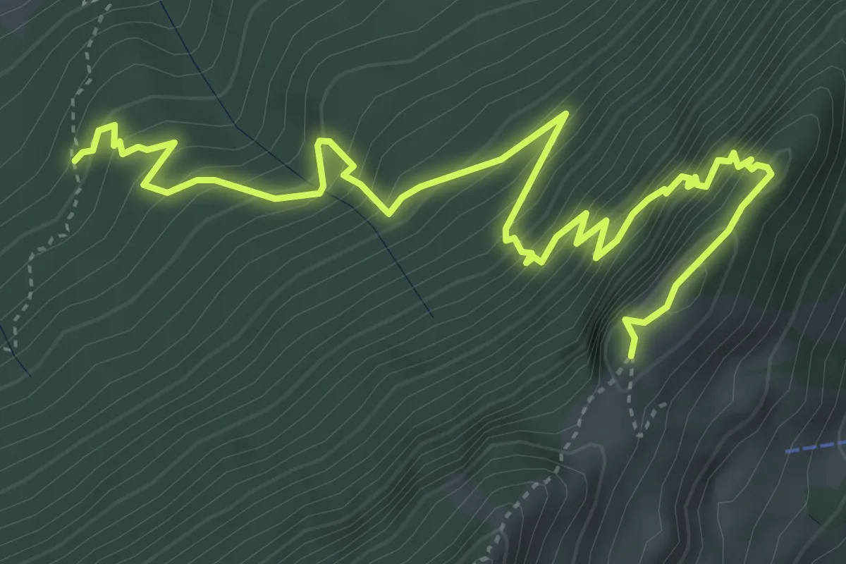
Expert · Trail
Gitzitritt
6.3 km · ↑ 719 m · 3 h 2 min · 4 km away
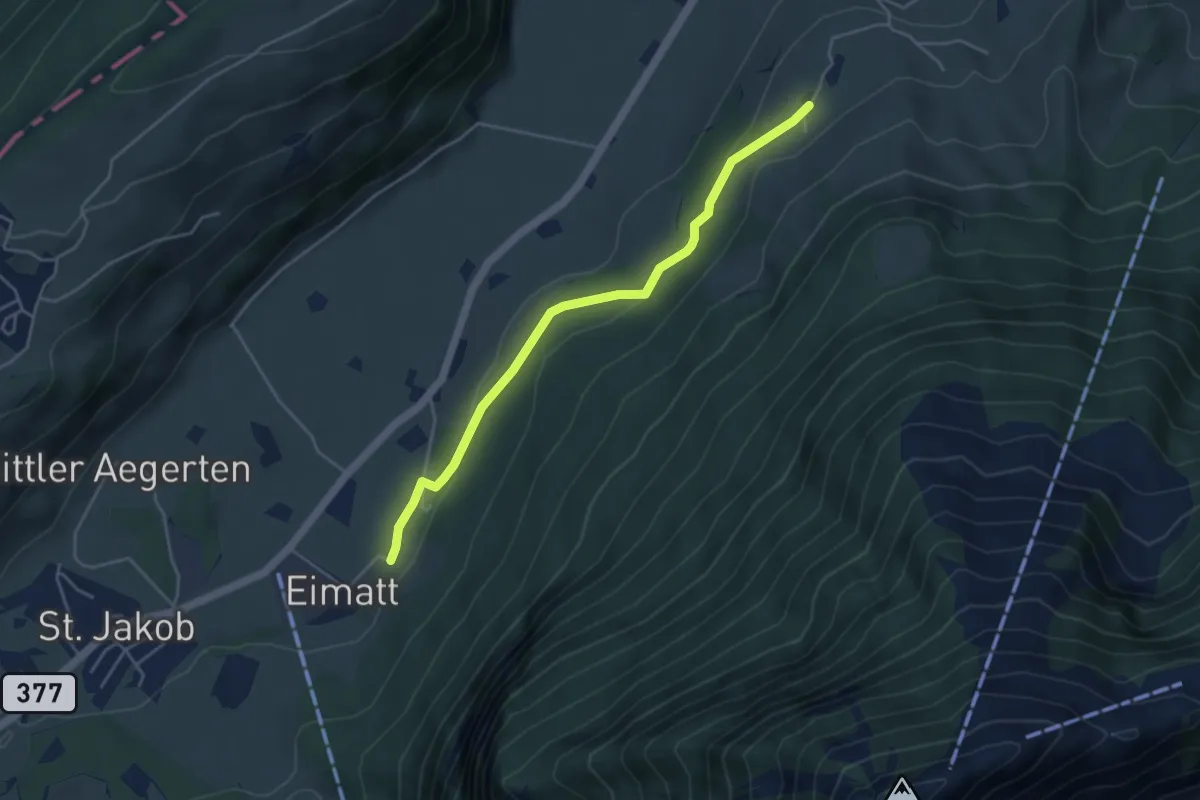
Easy · Trail
Halten – Brunnisboden
4.3 km · ↑ 131 m · 1 h 18 min · 4 km away
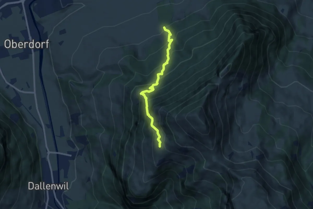
Medium · Trail
Arhölzli – Buggenried
6.4 km · ↑ 746 m · 3 h 8 min · 4 km away
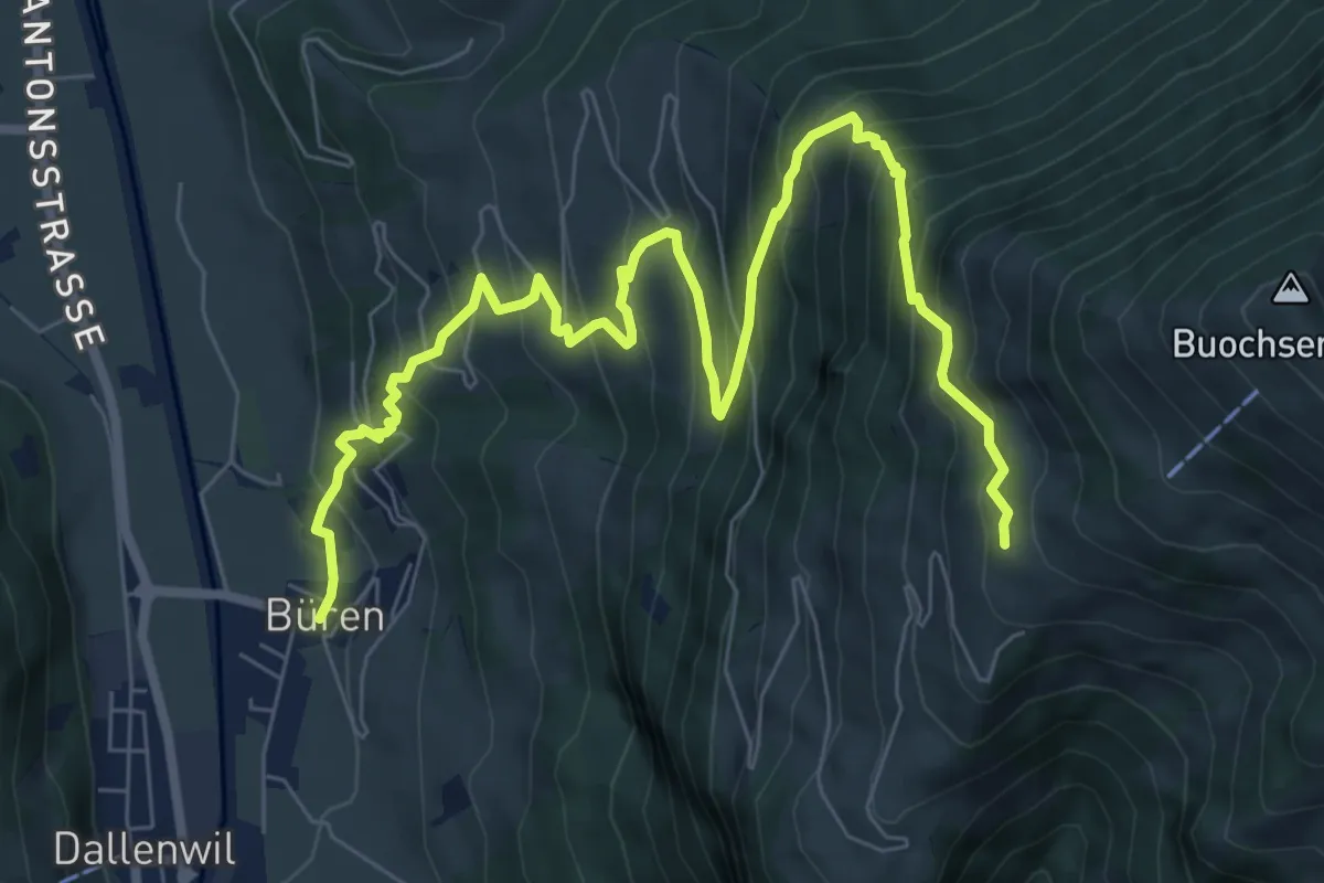
Demanding · Trail
Büren – Arhölzli
9.8 km · ↑ 906 m · 4 h 16 min · 4 km away
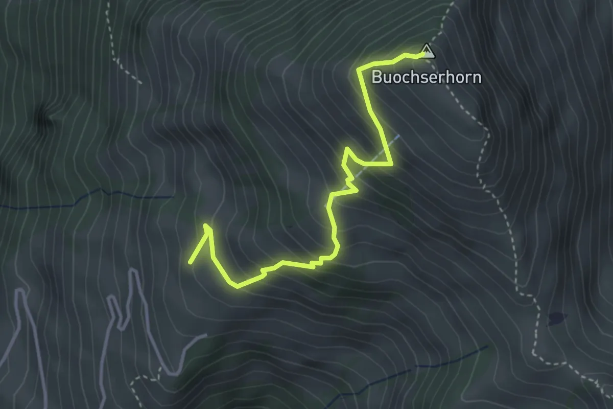
Medium · Summit
Buochserhorn – Arhölzli
3.6 km · ↑ 407 m · 1 h 43 min · 4 km away
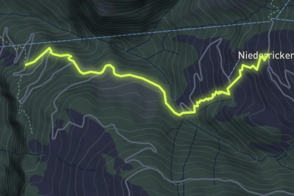
Medium · Trail
Wandfluhwald – Niederrickenbach Kloster
4.7 km · ↑ 461 m · 2 h 7 min · 5 km away
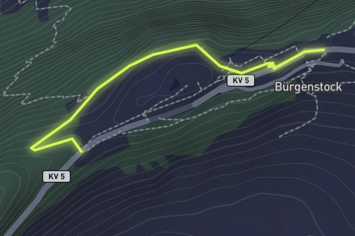
Easy · Trail
Taverna - Bürgenstock
2.1 km · ↑ 149 m · 49 min · 5 km away
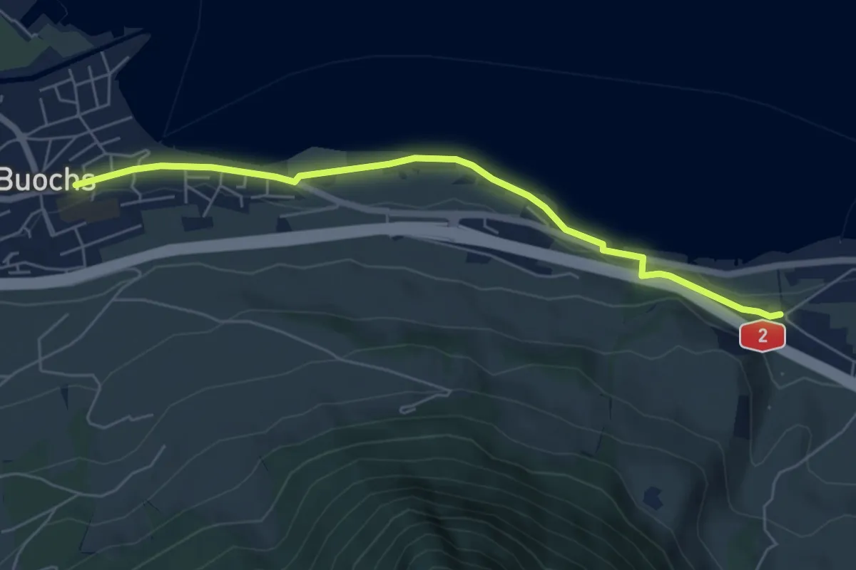
Easy · Trail
Ridli – Buochs
5.7 km · ↑ 53 m · 1 h 28 min · 5 km away
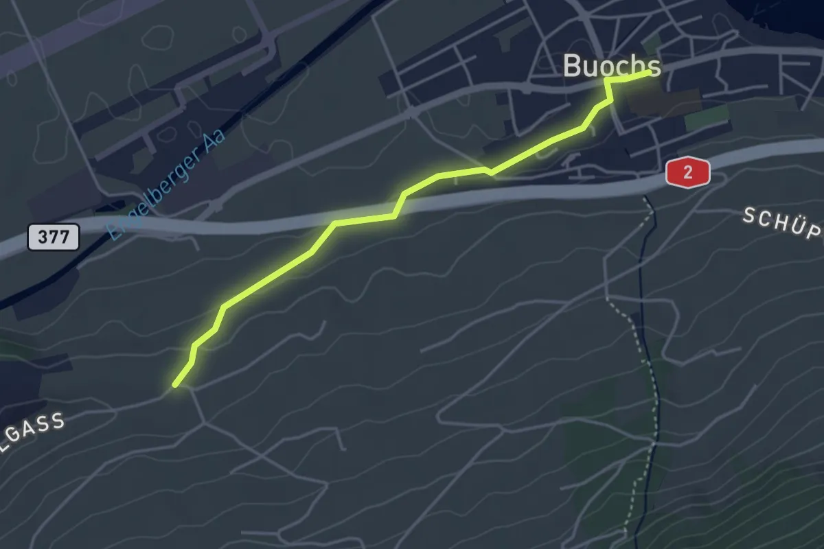
Easy · Trail
Buochs – Ännerberg
3.8 km · ↑ 68 m · 1 h 3 min · 5 km away
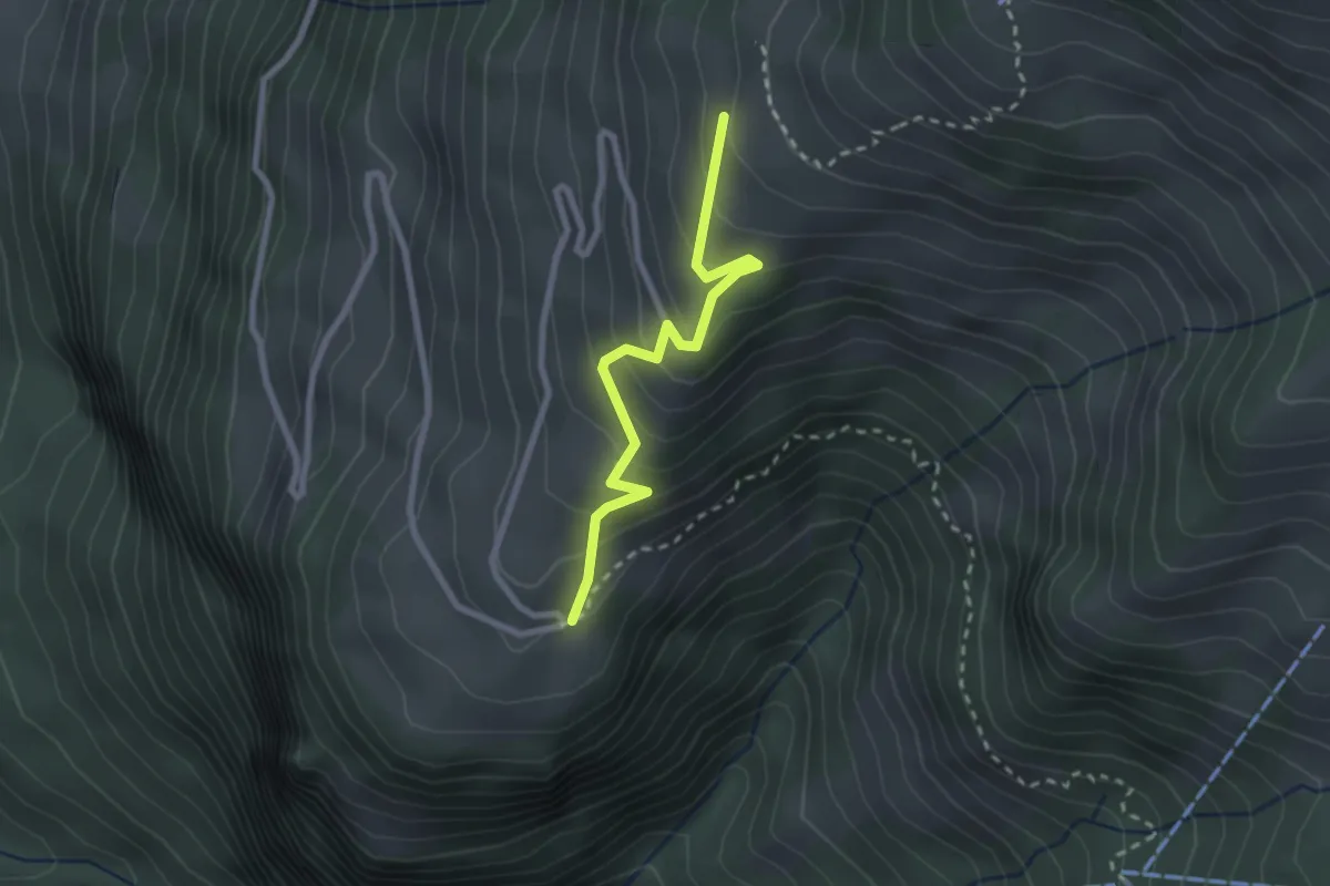
Easy · Trail
Arhölzli – Gibel
2.4 km · ↑ 214 m · 1 h 1 min · 5 km away
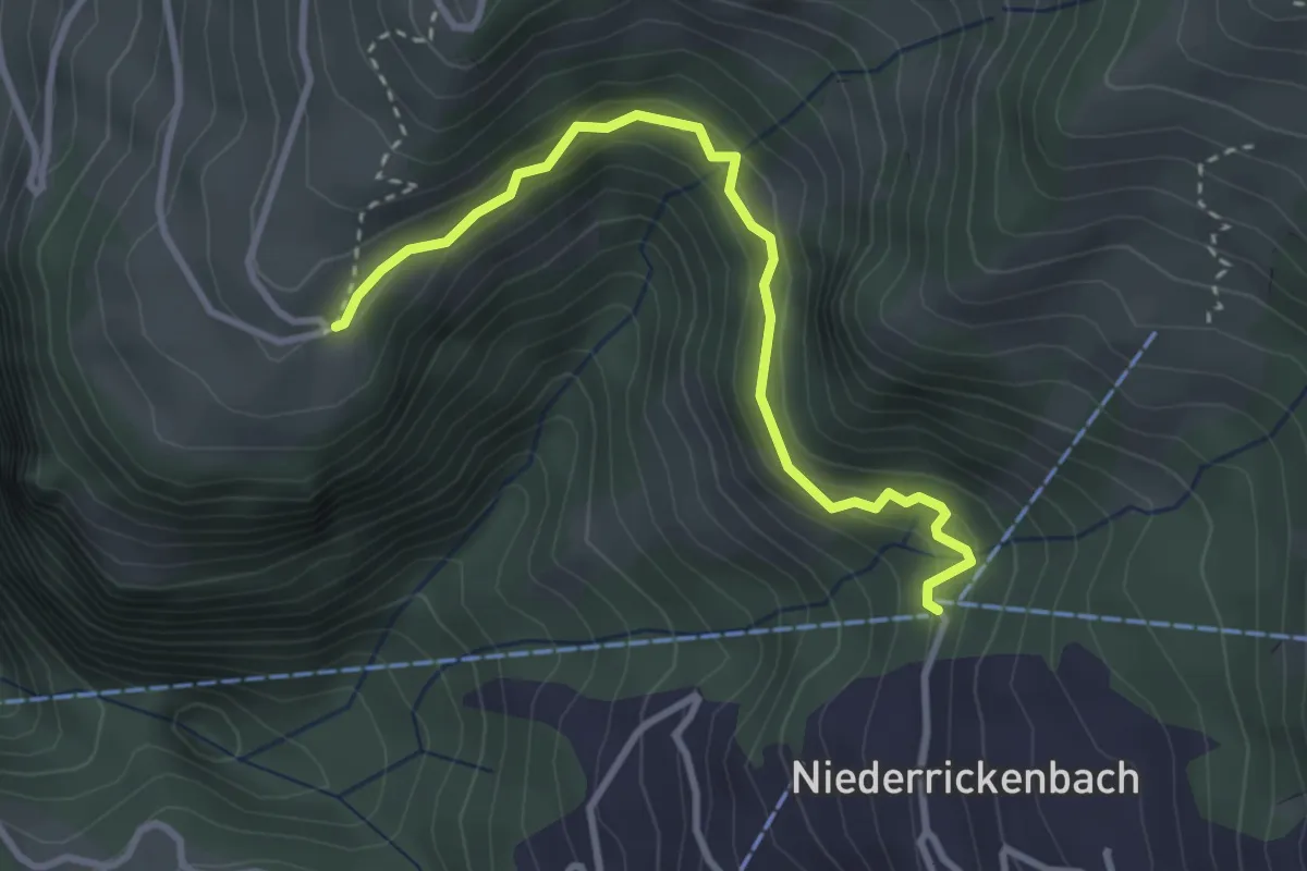
Easy · Trail
Niederrickenbach – Gibel
3.2 km · ↑ 252 m · 1 h 18 min · 5 km away
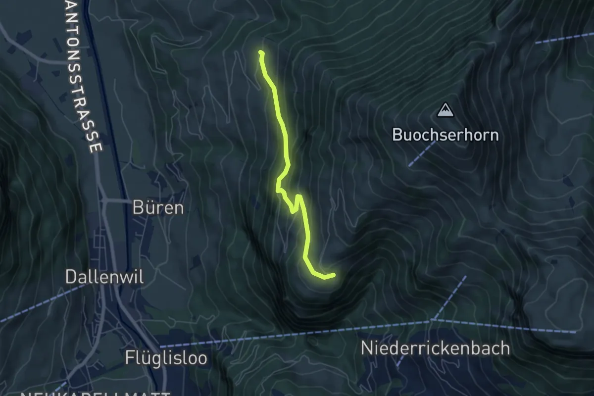
Medium · Trail
Gibel – Gross Schwanden
5.0 km · ↑ 375 m · 1 h 59 min · 5 km away
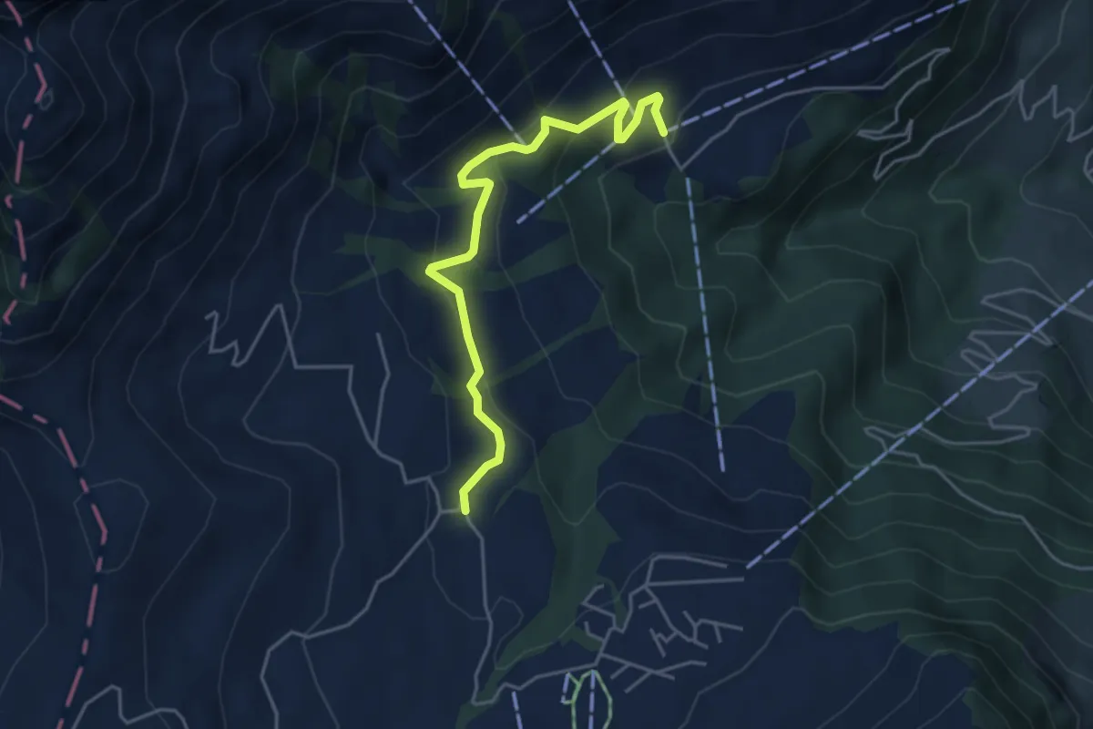
Easy · Trail
Wiesenberg - Stanglisbüel
4.4 km · ↑ 257 m · 1 h 36 min · 5 km away
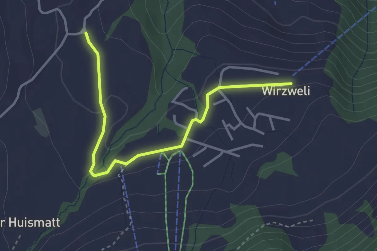
Easy · Trail
Stanglisbüel – Wirzweli
3.1 km · ↑ 47 m · 49 min · 5 km away
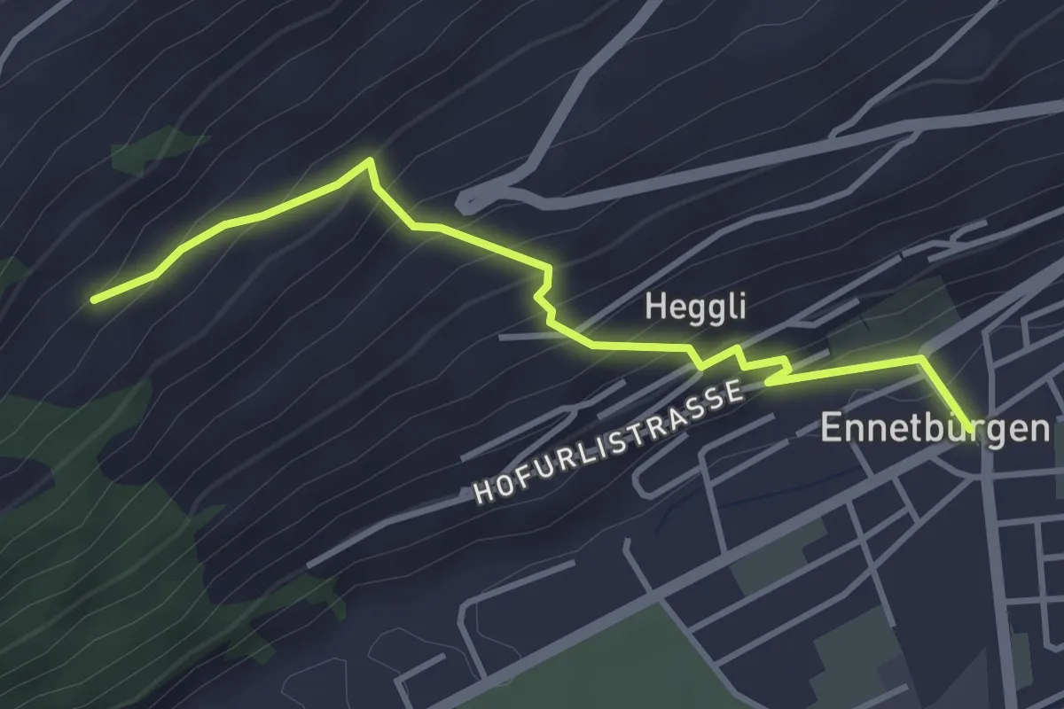
Medium · Trail
Ennetbürgen Post – Holzen
3.4 km · ↑ 321 m · 1 h 30 min · 5 km away
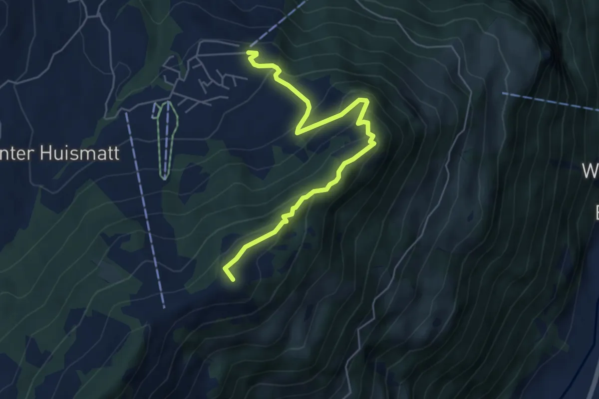
Medium · Summit
Wirzweli – Gummenalp
5.3 km · ↑ 372 m · 2 h 3 min · 5 km away
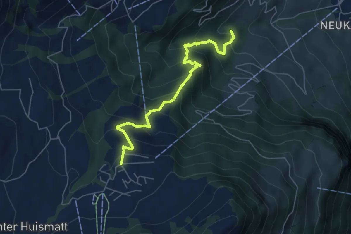
Medium · Trail
Wirzweli – Heinziwald
5.1 km · ↑ 516 m · 2 h 19 min · 5 km away
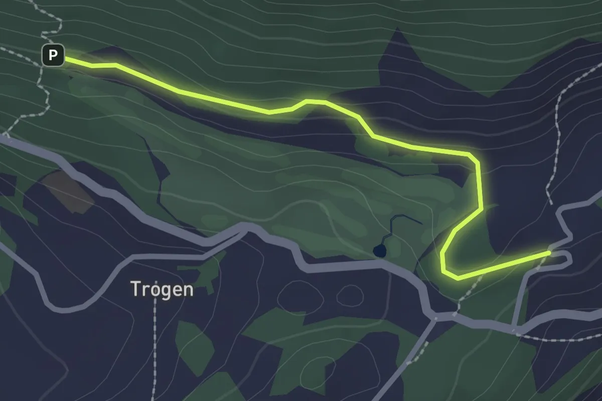
Easy · Trail
Honegg - Hauwald
2.3 km · ↑ 82 m · 44 min · 5 km away
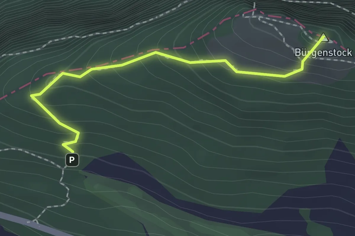
Medium · Summit
Hametschwand - Hauwald
1.9 km · ↑ 182 m · 50 min · 5 km away
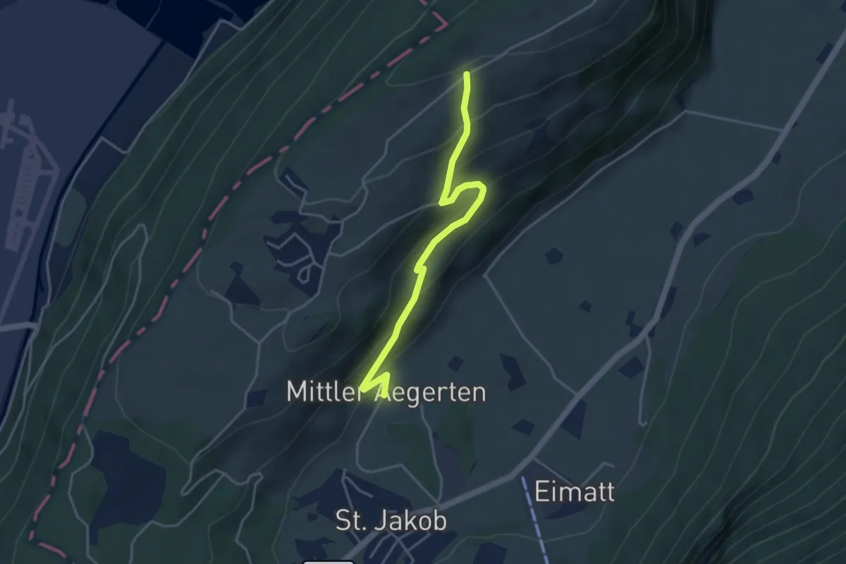
Easy · Trail
Grossitz – Mittelägerten
3.8 km · ↑ 263 m · 1 h 28 min · 5 km away
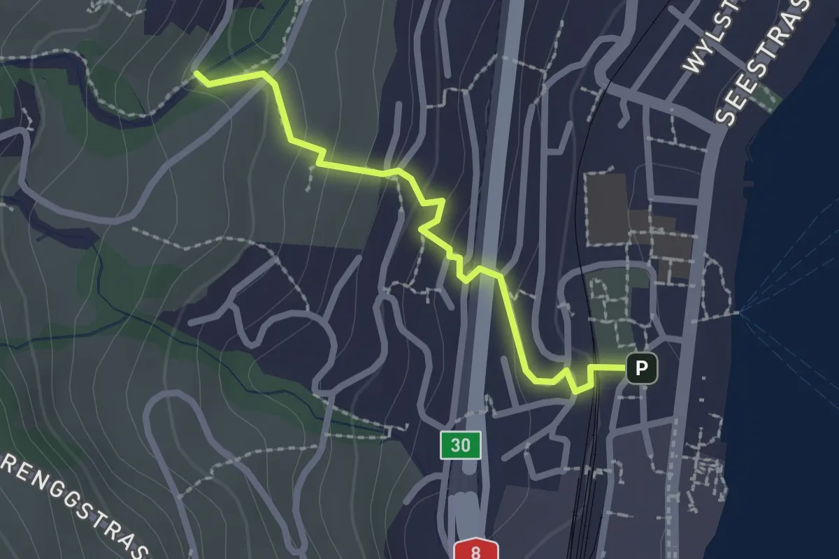
Easy · Trail
Hergiswil – Unter Chellen
2.0 km · ↑ 113 m · 44 min · 5 km away
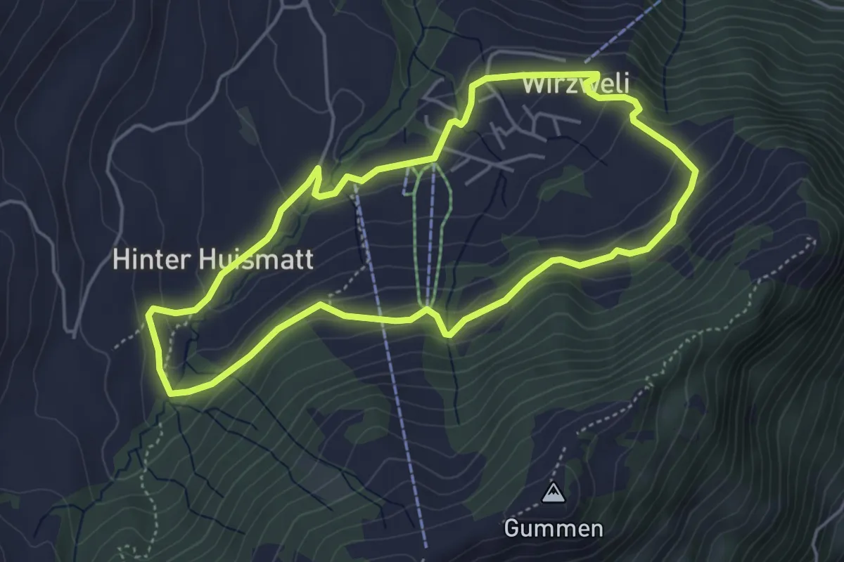
Easy · Trail
Dominikpfad
4.4 km · ↑ 173 m · 1 h 28 min · 5 km away
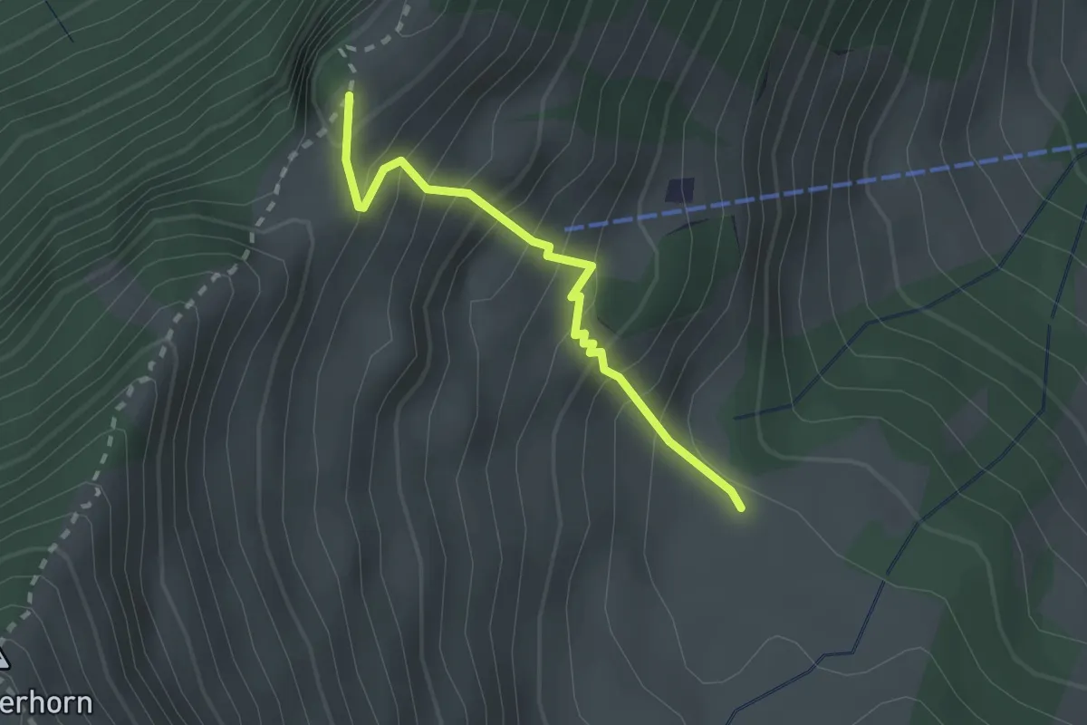
Expert · Trail
Unter Spis – Guberengrätli
2.0 km · ↑ 275 m · 1 h 4 min · 5 km away
Demanding · Trail
Schlüsselhorn - Untermatt? / Kehrsiten? - fixme
7.9 km · ↑ 821 m · 3 h 38 min · 5 km away
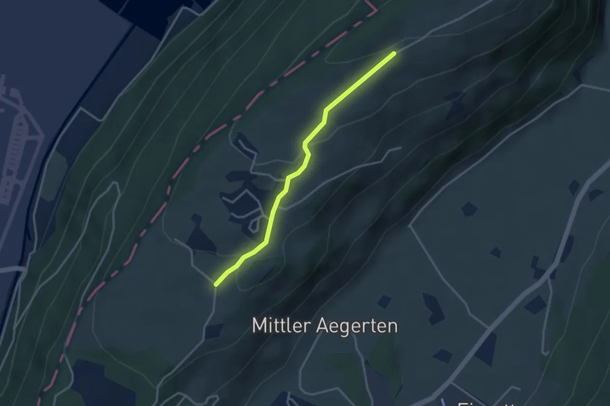
Easy · Trail
Grossitz – Gruebli
2.8 km · ↑ 109 m · 55 min · 5 km away
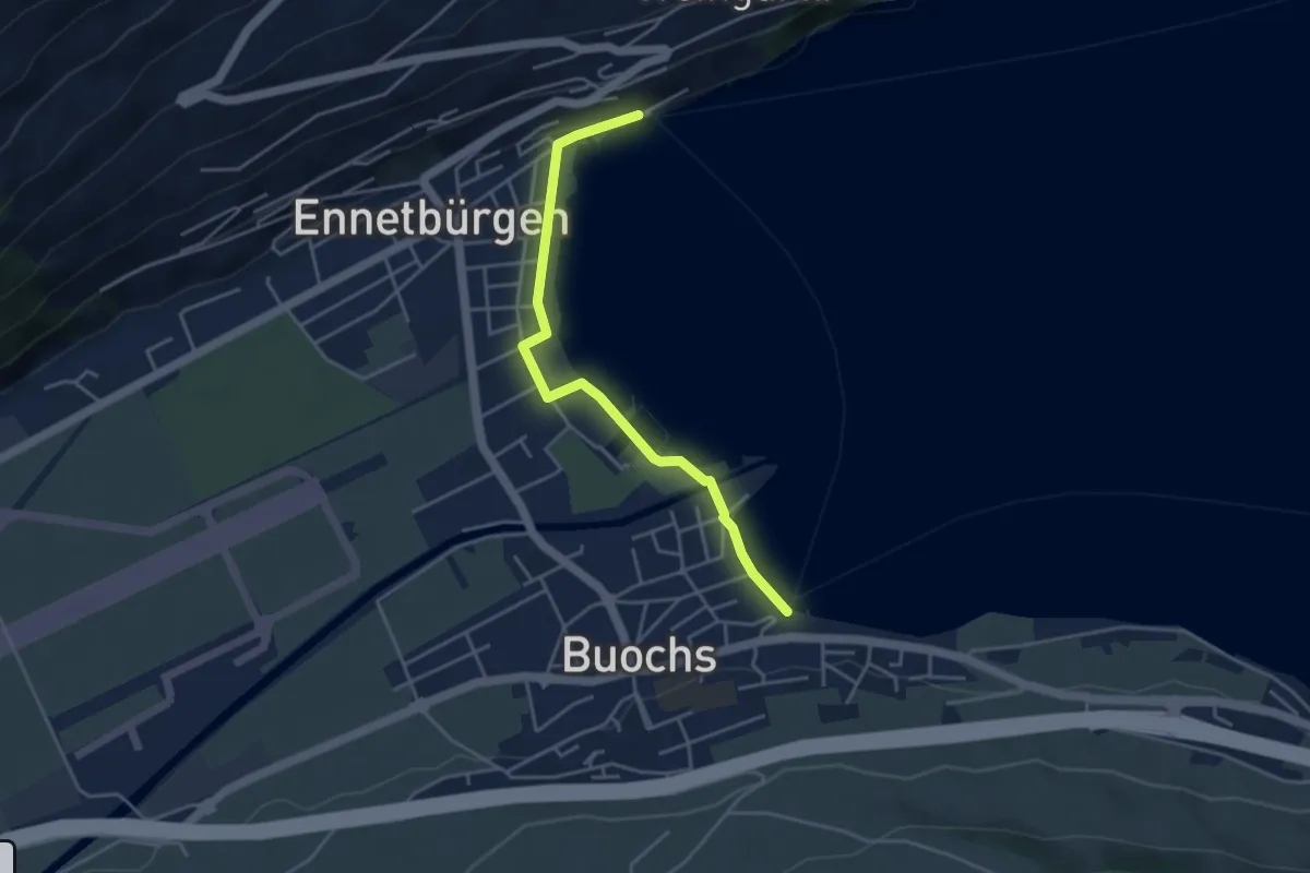
Easy · Trail
Buochs Schiffländi - Ennetbürgen Schiffländi
4.1 km · ↑ 25 m · 1 h 1 min · 5 km away
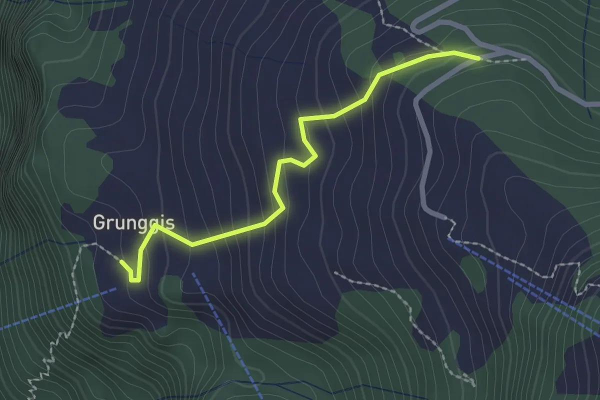
Easy · Trail
Grunggis - Wasenegg
2.0 km · ↑ 157 m · 48 min · 5 km away
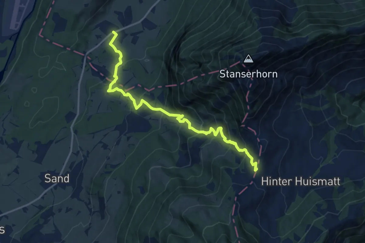
Demanding · Trail
St Jakob – Chliächerli
12.0 km · ↑ 913 m · 4 h 49 min · 5 km away
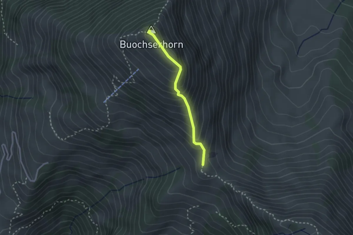
Medium · Summit
Buochserhorn – Bleikigrat
2.1 km · ↑ 213 m · 57 min · 6 km away
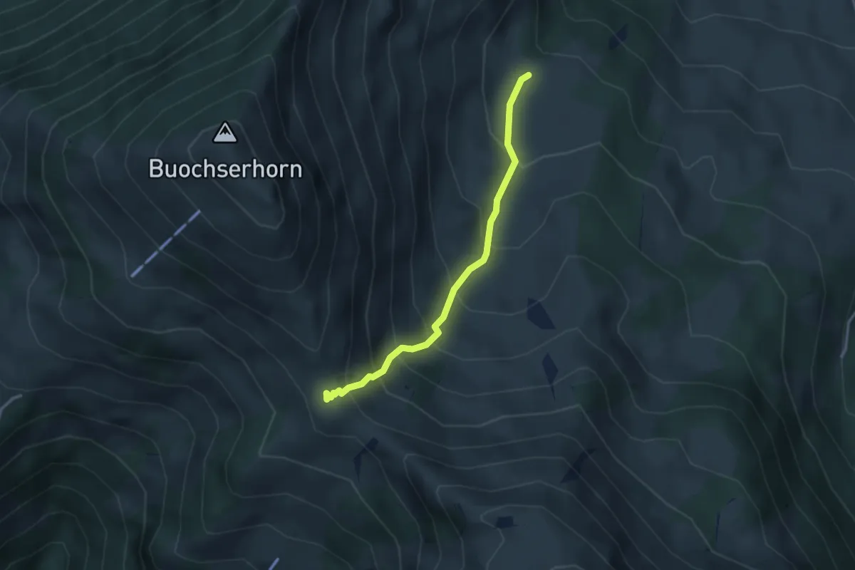
Medium · Trail
Unter Spis – Bleikigrat
2.9 km · ↑ 342 m · 1 h 25 min · 6 km away
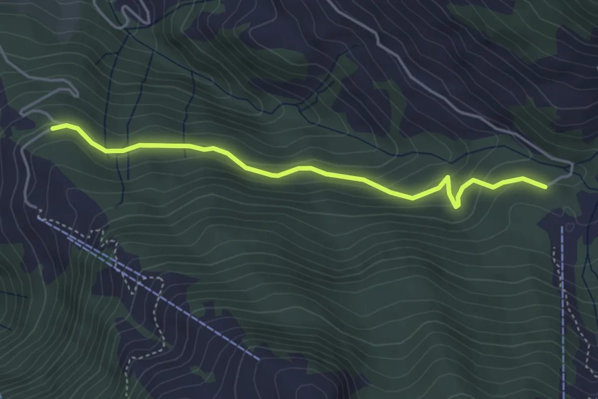
Easy · Trail
Alpboden – Waseneggli
4.0 km · ↑ 230 m · 1 h 27 min · 6 km away
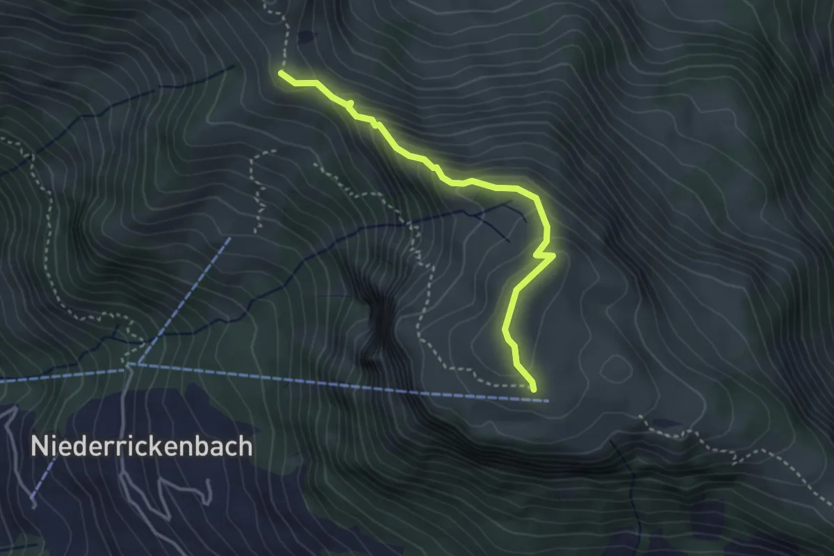
Expert · Trail
Rätzlenweg
3.2 km · ↑ 236 m · 1 h 16 min · 6 km away
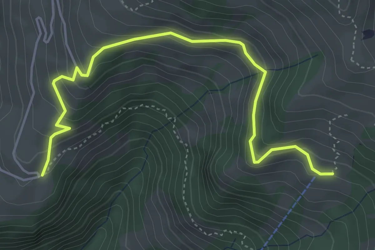
Medium · Trail
Gibel – Bleiki
4.7 km · ↑ 370 m · 1 h 54 min · 6 km away
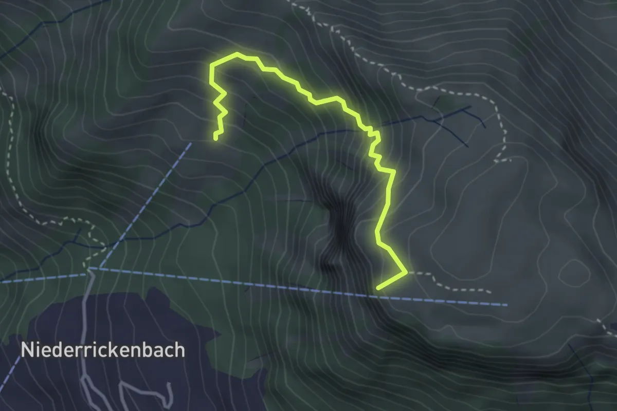
Medium · Summit
Musenalp – Bleiki
3.0 km · ↑ 374 m · 1 h 31 min · 6 km away
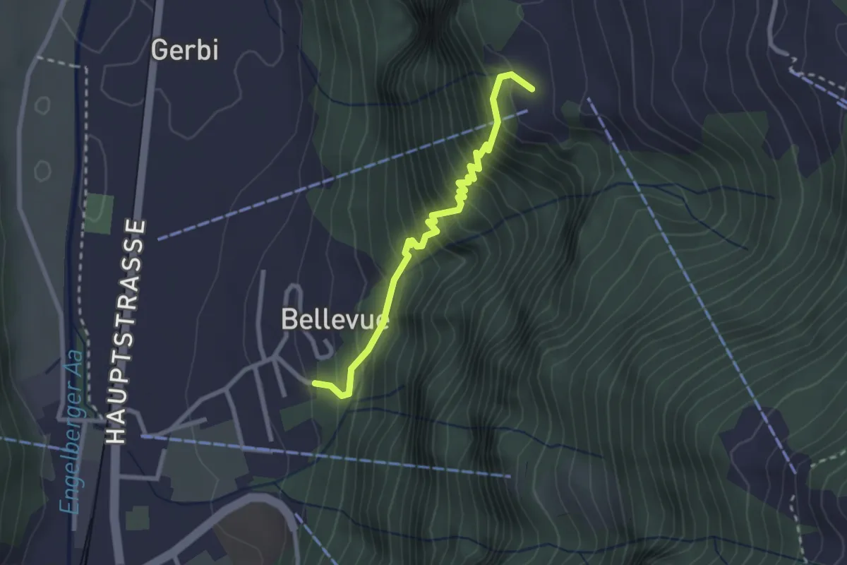
Medium · Trail
Wolfenschiessen - Grunggis
2.4 km · ↑ 367 m · 1 h 22 min · 6 km away
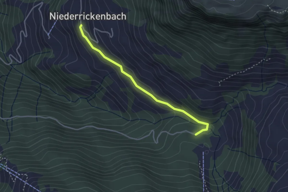
Easy · Trail
Alpboden – Pilgerhaus
3.0 km · ↑ 73 m · 52 min · 6 km away
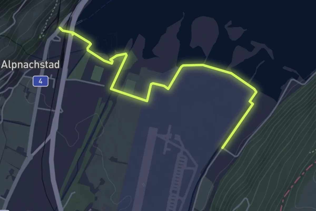
Easy · Trail
Alpnachstad – Wichelsee
5.2 km · ↑ 17 m · 1 h 16 min · 6 km away
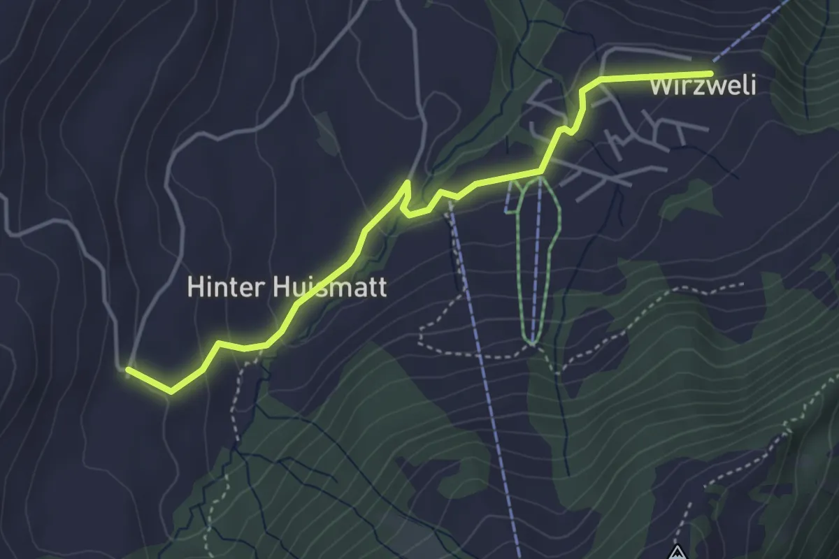
Easy · Trail
Dürrenboden – Wirzweli
4.0 km · ↑ 121 m · 1 h 12 min · 6 km away
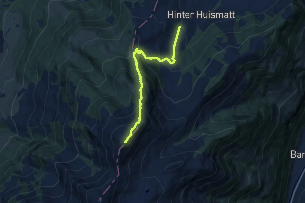
Demanding · Summit
Dürrenboden – Arvigrat
7.3 km · ↑ 662 m · 3 h 9 min · 6 km away
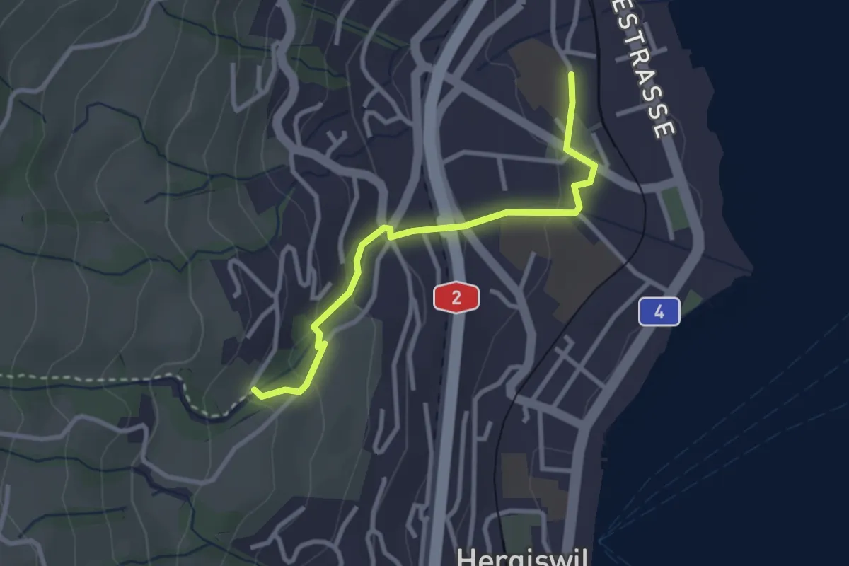
Easy · Trail
Hergiswil Matt – Unter Chellen
2.7 km · ↑ 123 m · 55 min · 6 km away
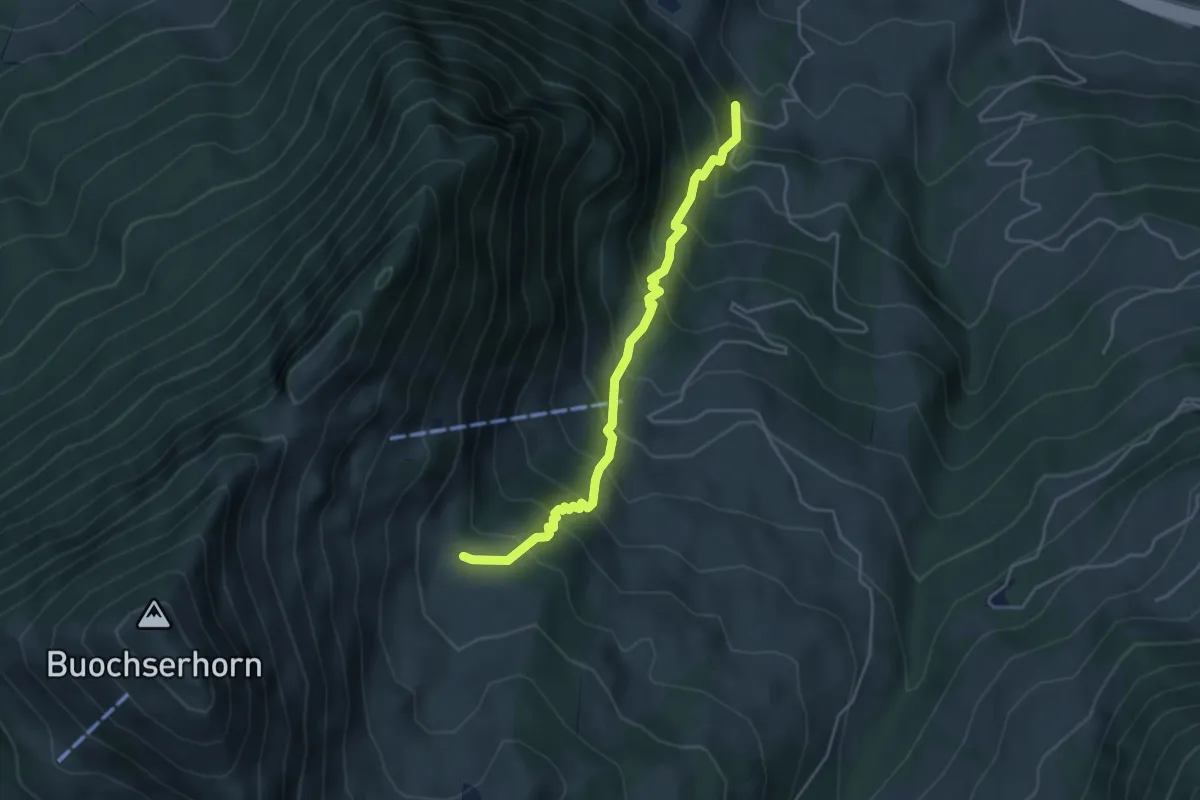
Medium · Trail
Halten – Unter Spis
4.2 km · ↑ 536 m · 2 h 9 min · 6 km away
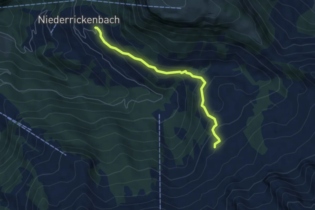
Easy · Trail
Steinrüti – Chrüzhütte
4.9 km · ↑ 306 m · 1 h 49 min · 6 km away
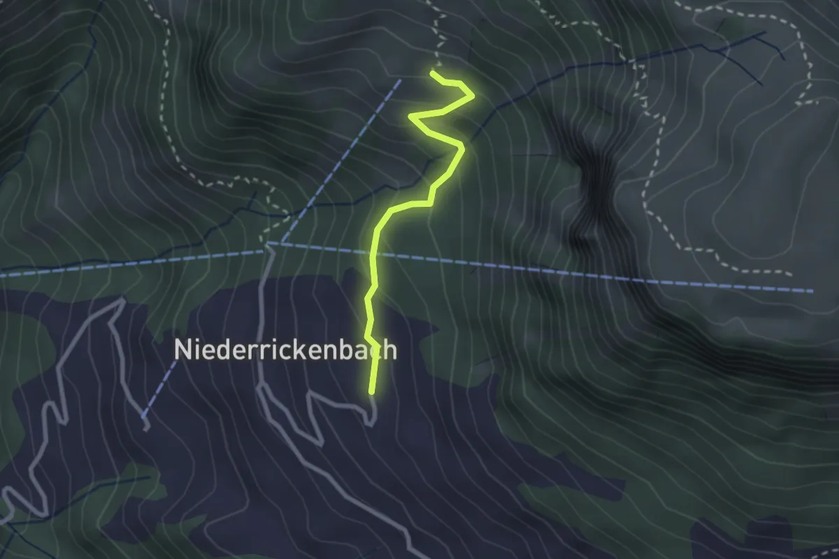
Easy · Trail
Steinrüti – Bleiki
2.1 km · ↑ 154 m · 50 min · 6 km away