Trails near Stans
595 hikes starting within 15 km, nearest first.
Nearest first, page 11 of 13
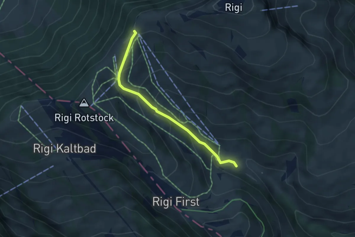
Easy · Trail
Rigi-Staffel – Rigi Klösterli
3.5 km · ↑ 265 m · 1 h 24 min · 14 km away
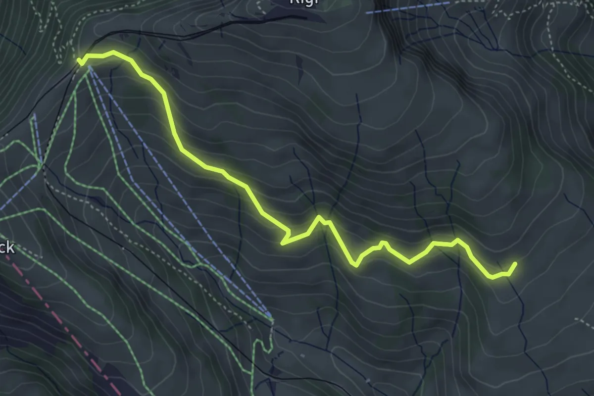
Medium · Trail
Schwändi – Rigi Staffel
4.8 km · ↑ 349 m · 1 h 54 min · 14 km away
Demanding · Trail
Schwyzer Höhenweg - Etappe 2
17.8 km · ↑ 1122 m · 6 h 38 min · 14 km away
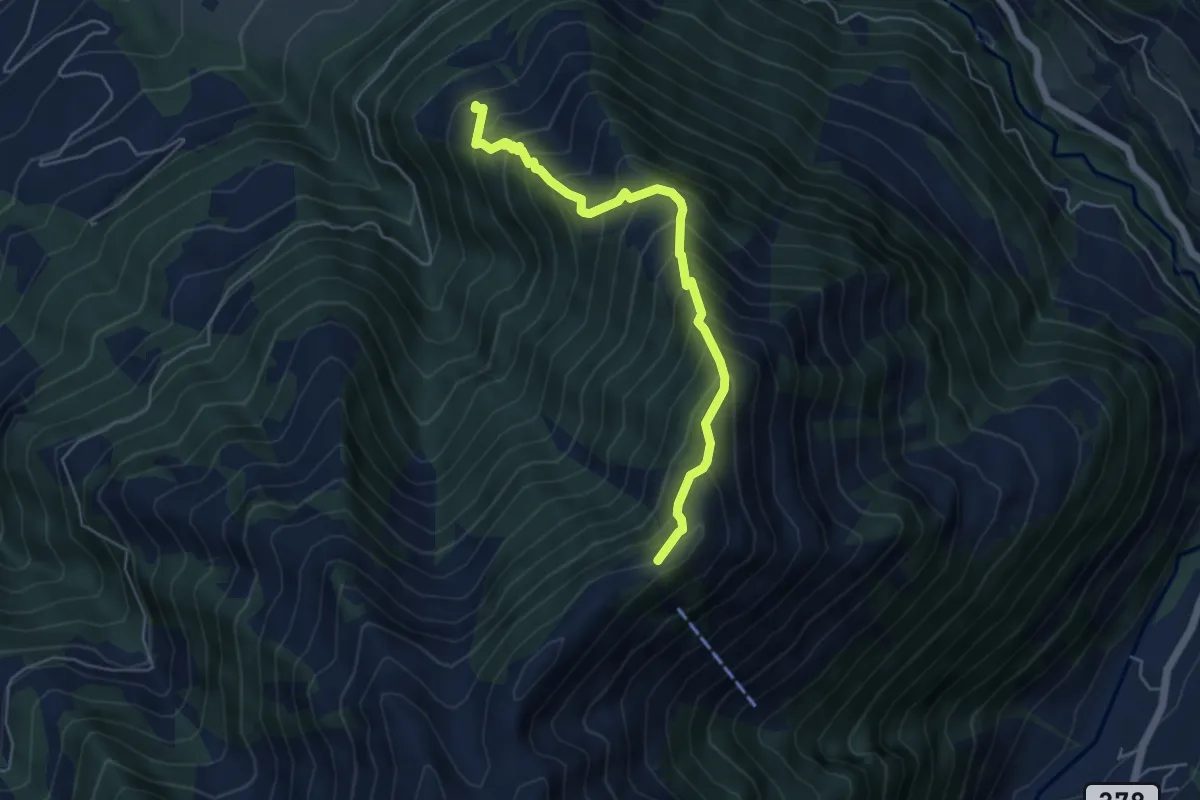
Demanding · Summit
Höch Dossen - Unter Büelen
5.1 km · ↑ 717 m · 2 h 45 min · 14 km away
Easy · Trail
Seehof - Rotsee Ost
2.7 km · ↑ 45 m · 45 min · 14 km away
Easy · Trail
Sädel - Seehof
3.3 km · ↑ 63 m · 55 min · 14 km away
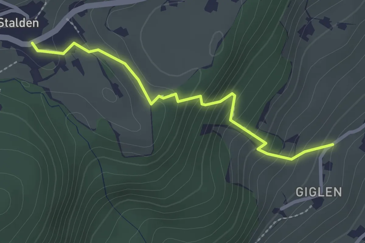
Easy · Trail
Güglen - Stalden
2.2 km · ↑ 191 m · 56 min · 14 km away
Easy · Trail
Merlischachen - Forenmoos
4.0 km · ↑ 139 m · 1 h 15 min · 14 km away
Easy · Trail
Sädelbrücke - St.Karli
4.5 km · ↑ 69 m · 1 h 12 min · 14 km away
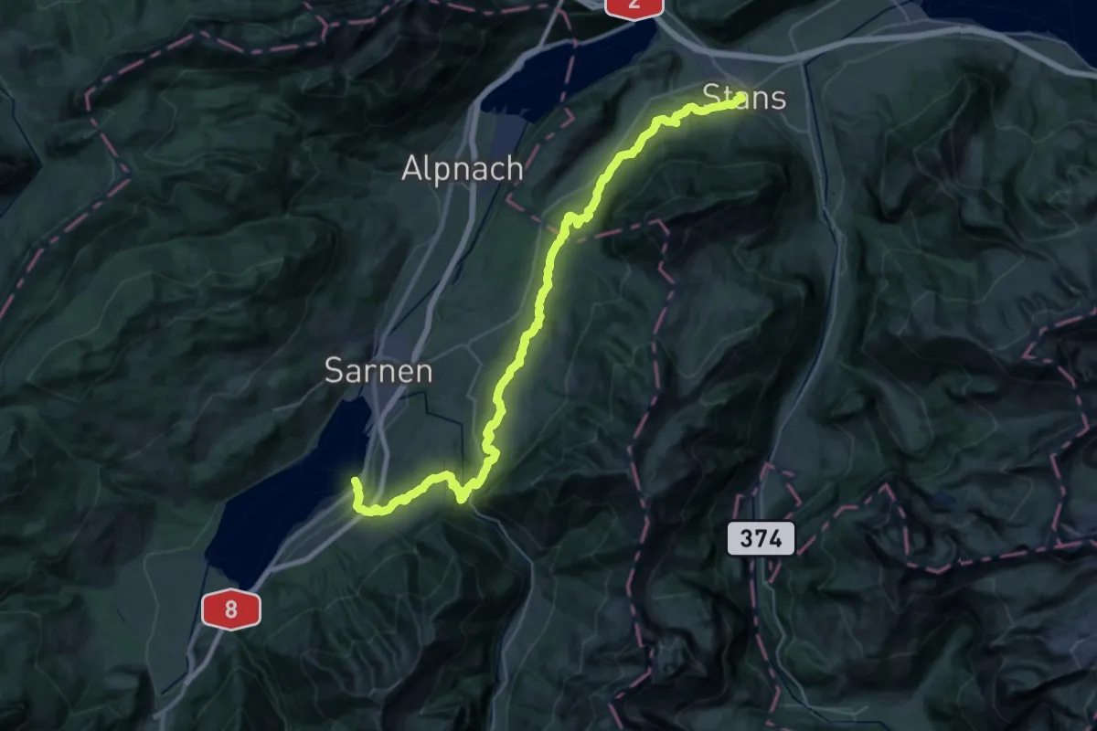
Demanding · Trail
Bruder-Klausen-Weg
20.2 km · ↑ 712 m · 6 h 36 min · 14 km away
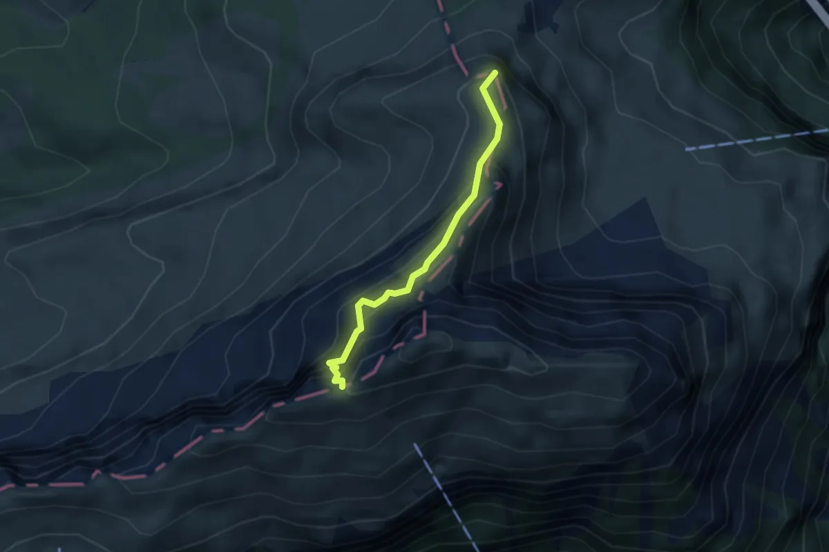
Expert · Summit
Fulberg - Schwiren
2.9 km · ↑ 389 m · 1 h 32 min · 14 km away
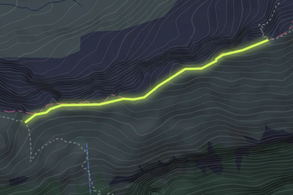
Demanding · Trail
Schwiren - Inner Baberg
2.8 km · ↑ 301 m · 1 h 19 min · 14 km away
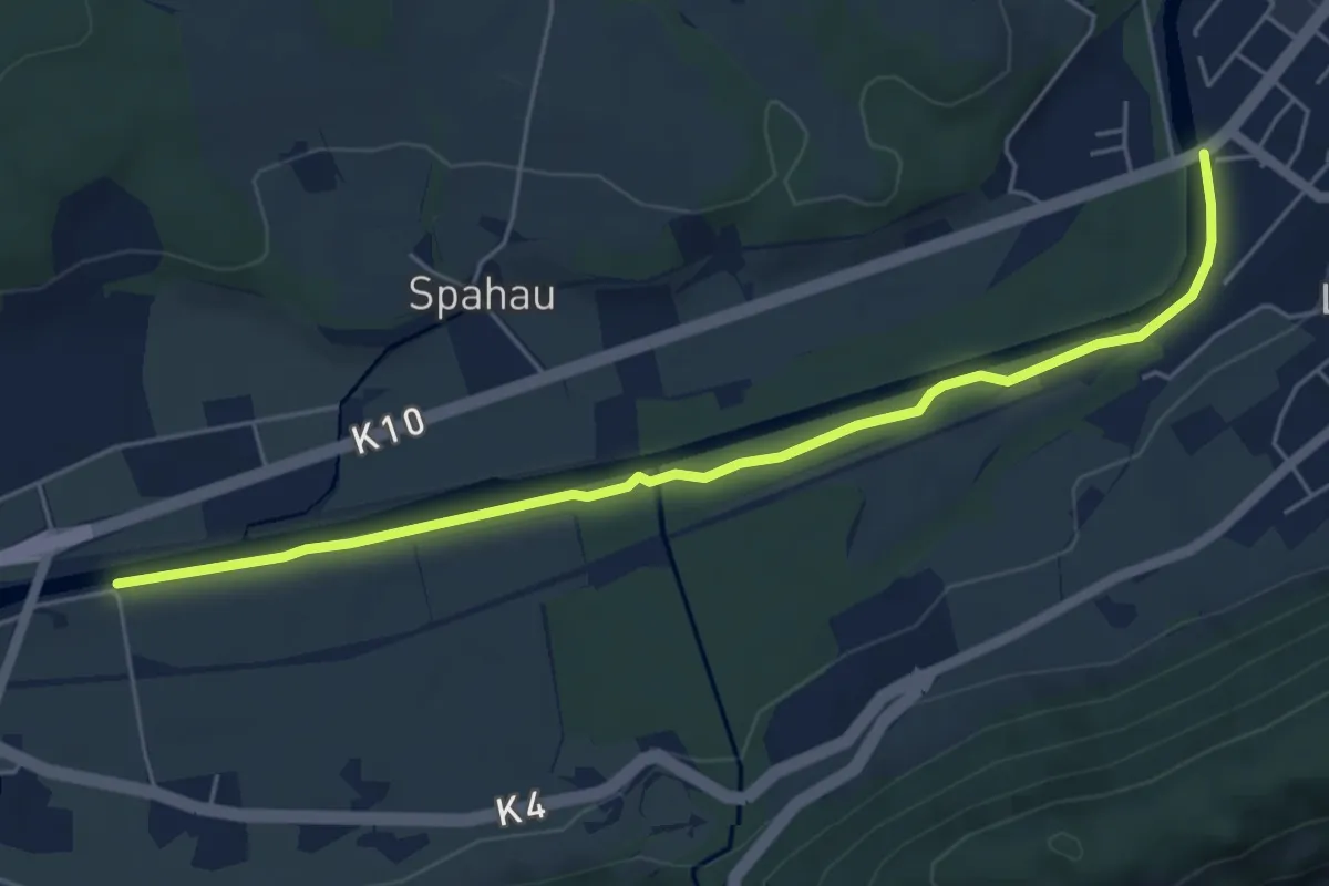
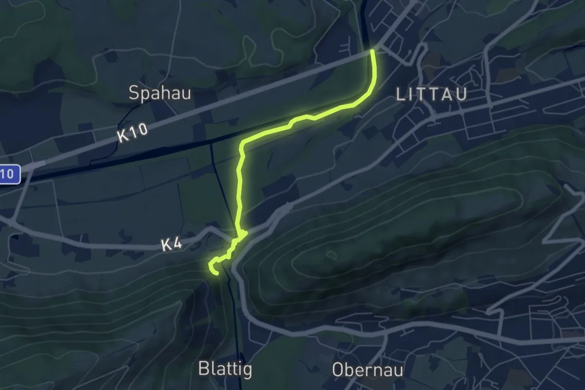
Easy · Trail
Blatten – Thorenbergbrücke
5.6 km · ↑ 13 m · 1 h 21 min · 14 km away
Easy · Trail
Ränggloch – Thorenbergbrücke
5.3 km · ↑ 133 m · 1 h 32 min · 14 km away
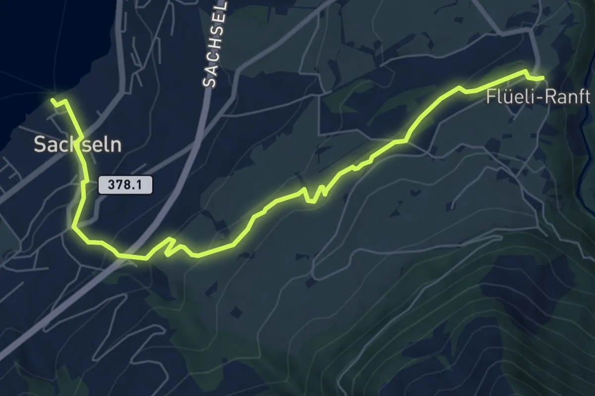
Easy · Trail
Flüeli Ranft – Sachseln
7.7 km · ↑ 303 m · 2 h 28 min · 14 km away
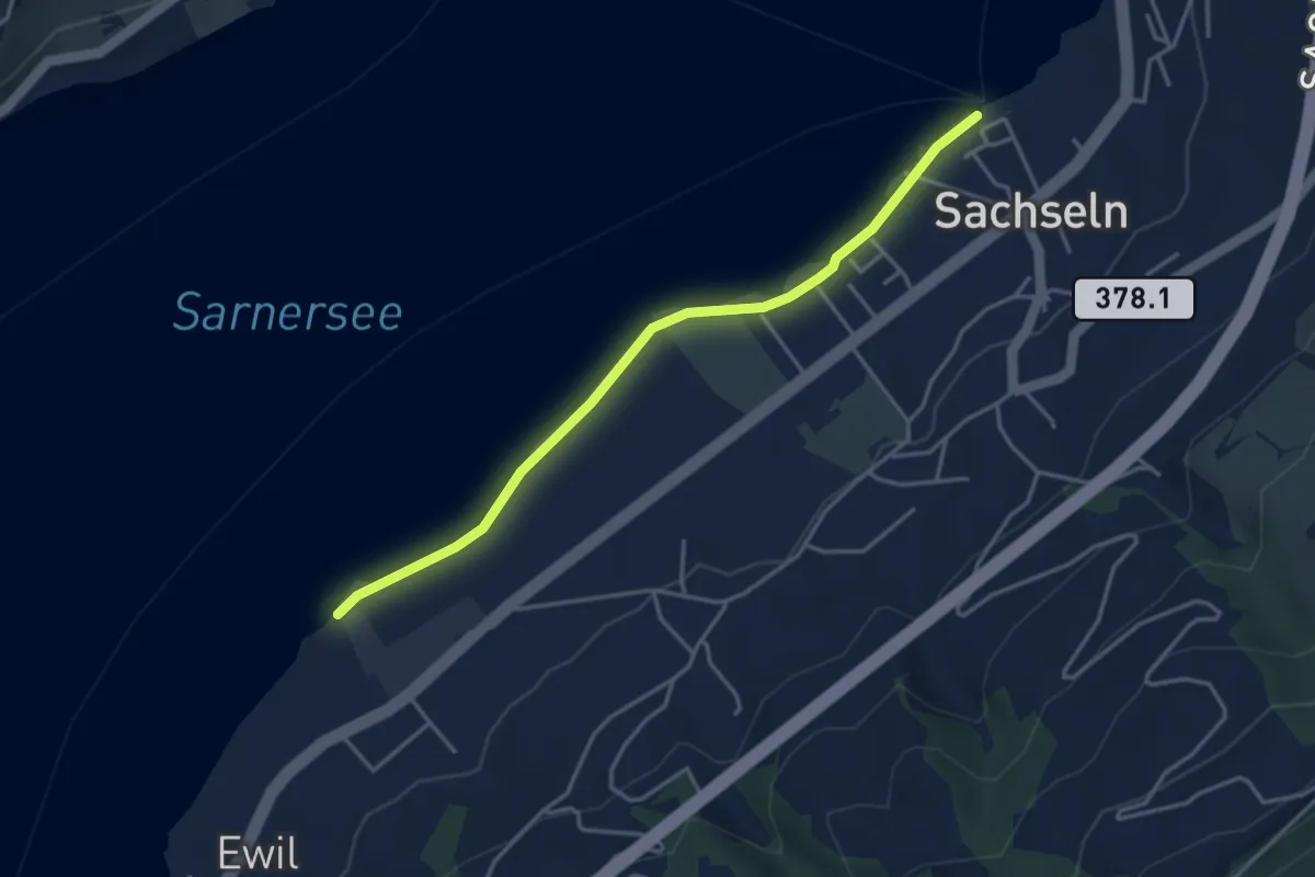
Easy · Trail
Sachseln – Ewil Maxon
3.9 km · ↑ 8 m · 56 min · 14 km away
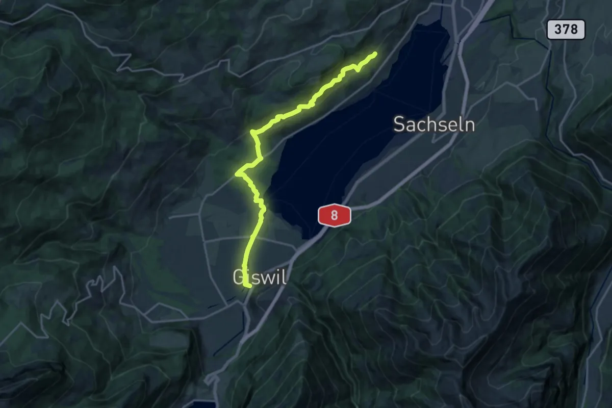
Medium · Trail
Giswil - Giglen/Wilen
16.4 km · ↑ 680 m · 5 h 21 min · 14 km away
Easy · Trail
Sädelbrücke - Rathausen
3.9 km · ↑ 0 m · 55 min · 14 km away
Easy · Trail
Sädelbrücke - St. Karli
4.9 km · ↑ 39 m · 1 h 14 min · 14 km away
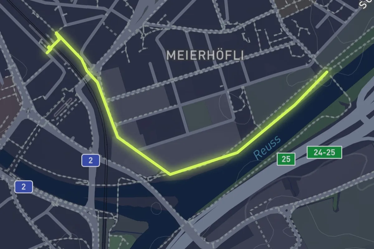
Easy · Trail
Sädelbrücke – Emmenbrücke (Bahnhof)
2.4 km · ↑ 4 m · 34 min · 14 km away
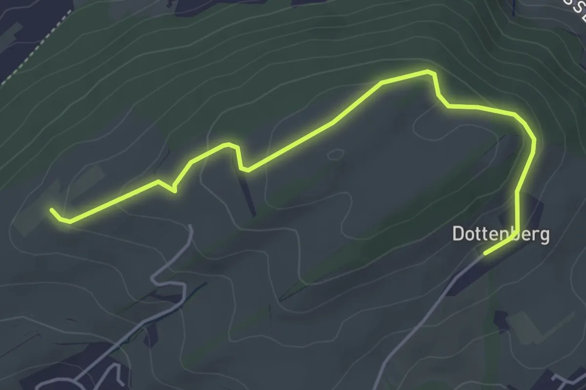
Easy · Trail
Ober Äbrüti – Dottenberg
4.5 km · ↑ 134 m · 1 h 21 min · 14 km away
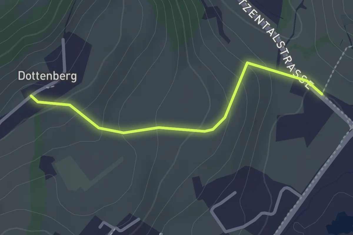
Easy · Trail
Dottenberg – Stegmatt
2.1 km · ↑ 108 m · 43 min · 14 km away
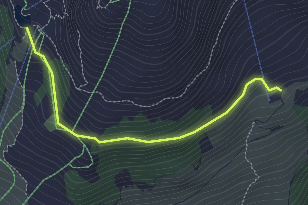
Easy · Cabin
Rigidalstaffel - Brunnihütte
2.5 km · ↑ 145 m · 55 min · 14 km away
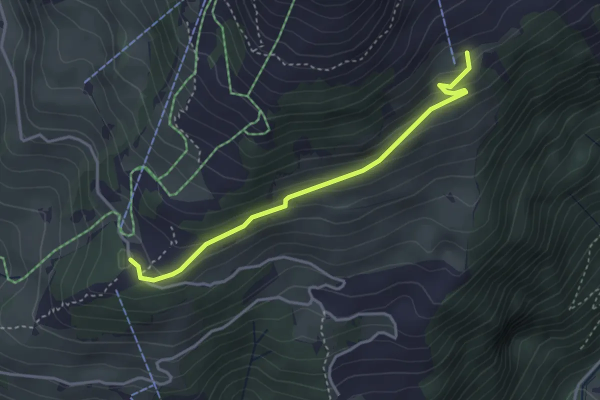
Easy · Trail
Rigidalstaffel - Ristis
3.3 km · ↑ 173 m · 1 h 9 min · 14 km away
Easy · Trail
Spitzfluhhof - Torenberg
6.0 km · ↑ 97 m · 1 h 37 min · 14 km away
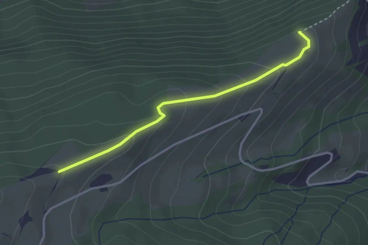
Easy · Trail
Schürhof – Lehnhof
2.8 km · ↑ 146 m · 58 min · 14 km away
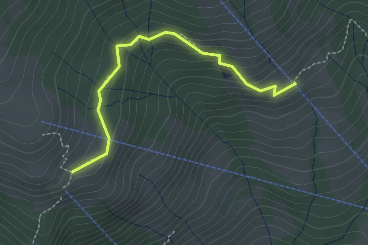
Easy · Trail
Breitäbnet – Bergli
2.1 km · ↑ 129 m · 47 min · 14 km away
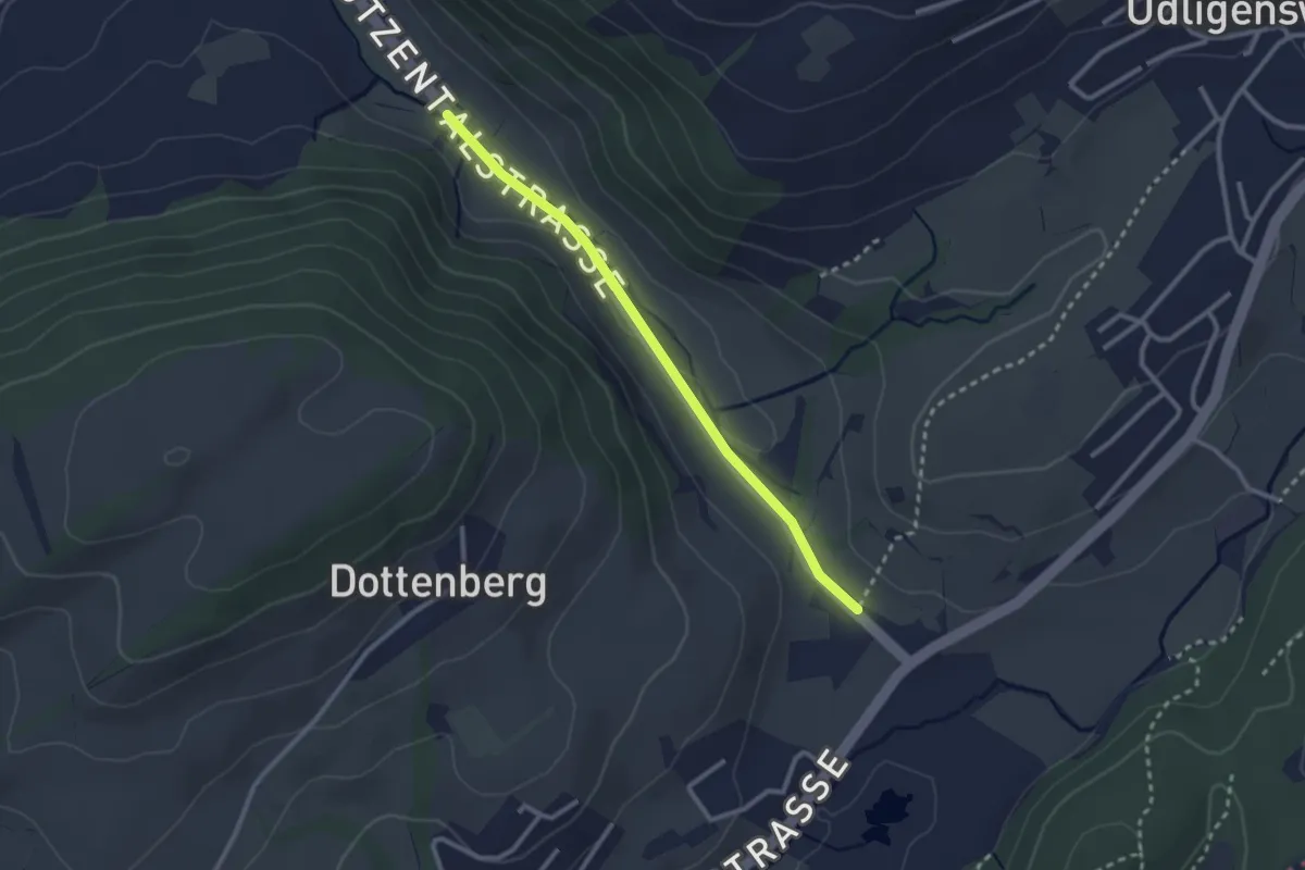
Easy · Trail
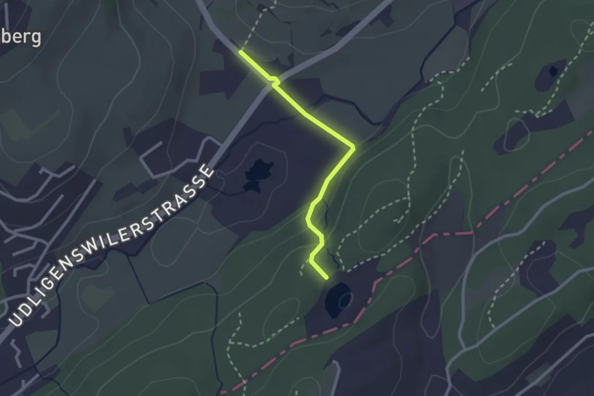
Stegmatt – Götzental
2.5 km · ↑ 22 m · 38 min · 14 km away
Easy · Trail
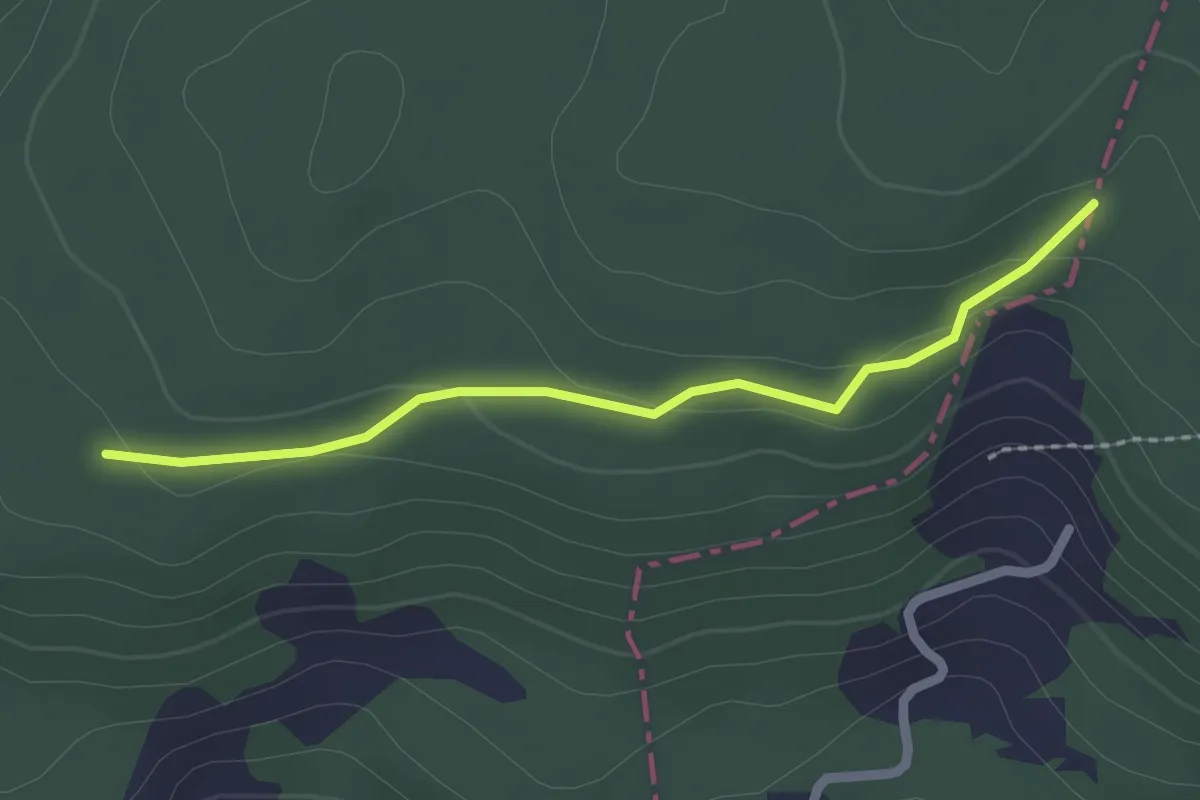
Wagenmoos – Stegmatt
2.1 km · ↑ 72 m · 38 min · 14 km away
Easy · Trail
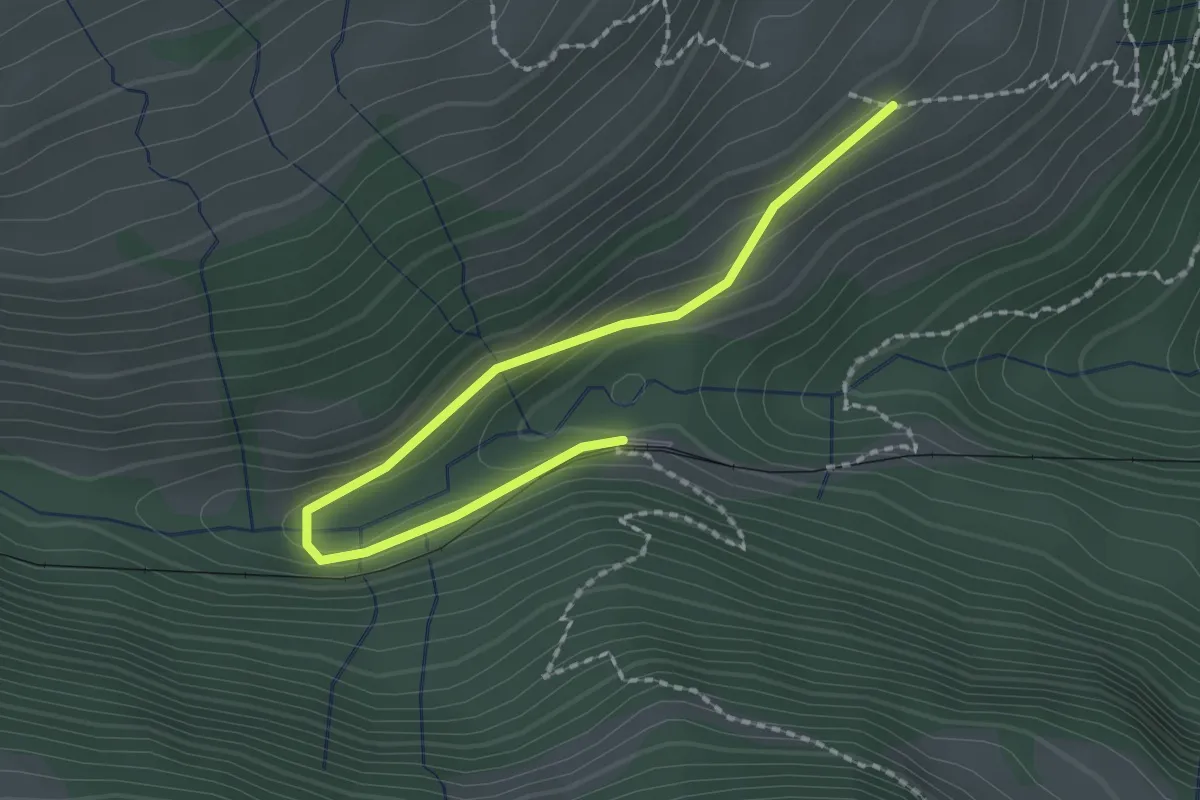
Brennwald – Plattenzug
2.0 km · ↑ 56 m · 36 min · 14 km away
Easy · Trail
Resti-Fruttli
2.2 km · ↑ 97 m · 44 min · 14 km away
Easy · Trail
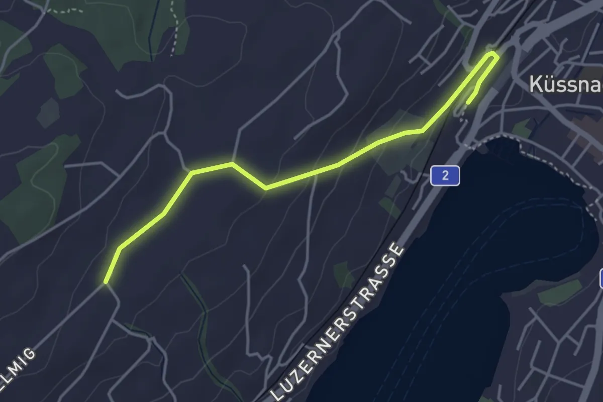
Torenberg - Spahau
2.5 km · ↑ 30 m · 39 min · 14 km away
Easy · Trail
Allmig – Küssnacht
3.9 km · ↑ 105 m · 1 h 9 min · 14 km away
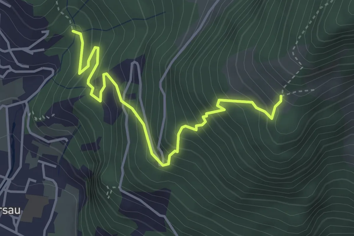
Demanding · Trail
Nielenbrugg – Ochsenalp
4.0 km · ↑ 464 m · 1 h 57 min · 14 km away
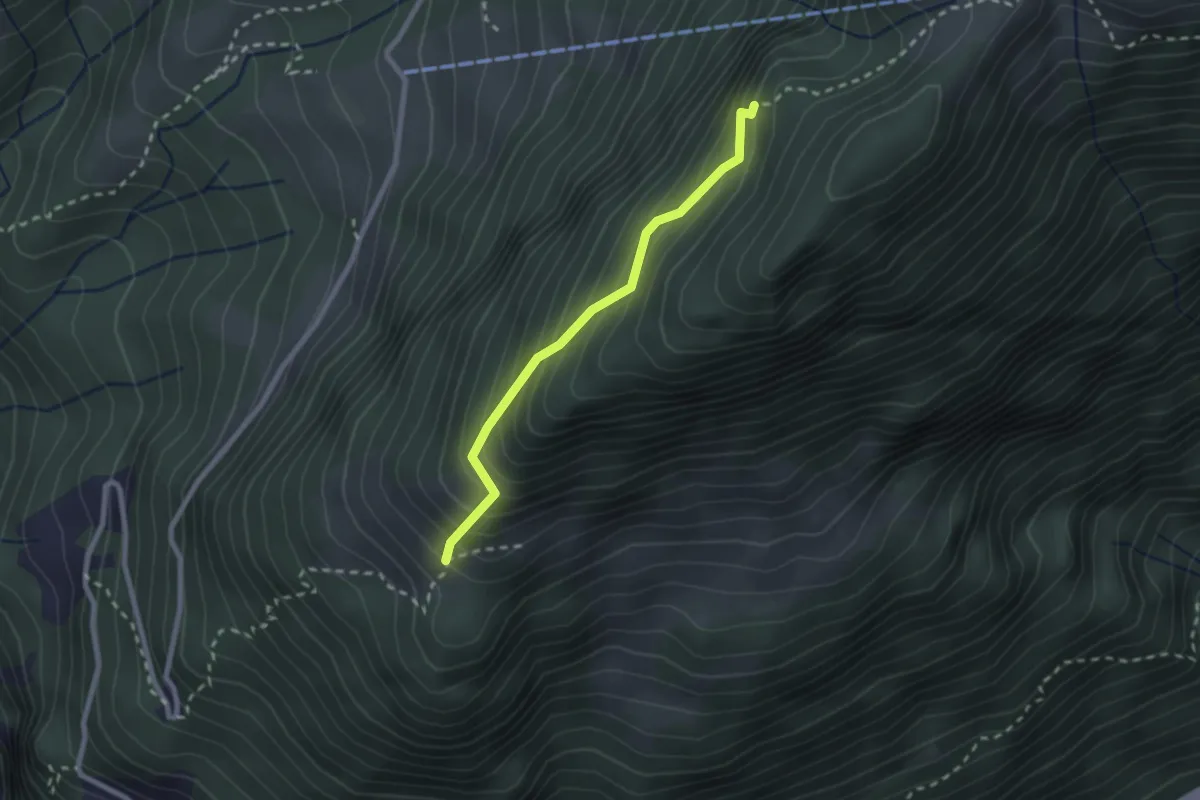
Demanding · Trail
Ochsenalp – Grathüttli
2.1 km · ↑ 292 m · 1 h 8 min · 14 km away
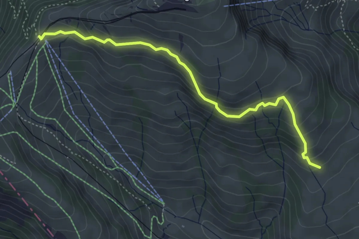
Medium · Trail
Schwändi – Rigi Staffel
4.6 km · ↑ 296 m · 1 h 43 min · 14 km away
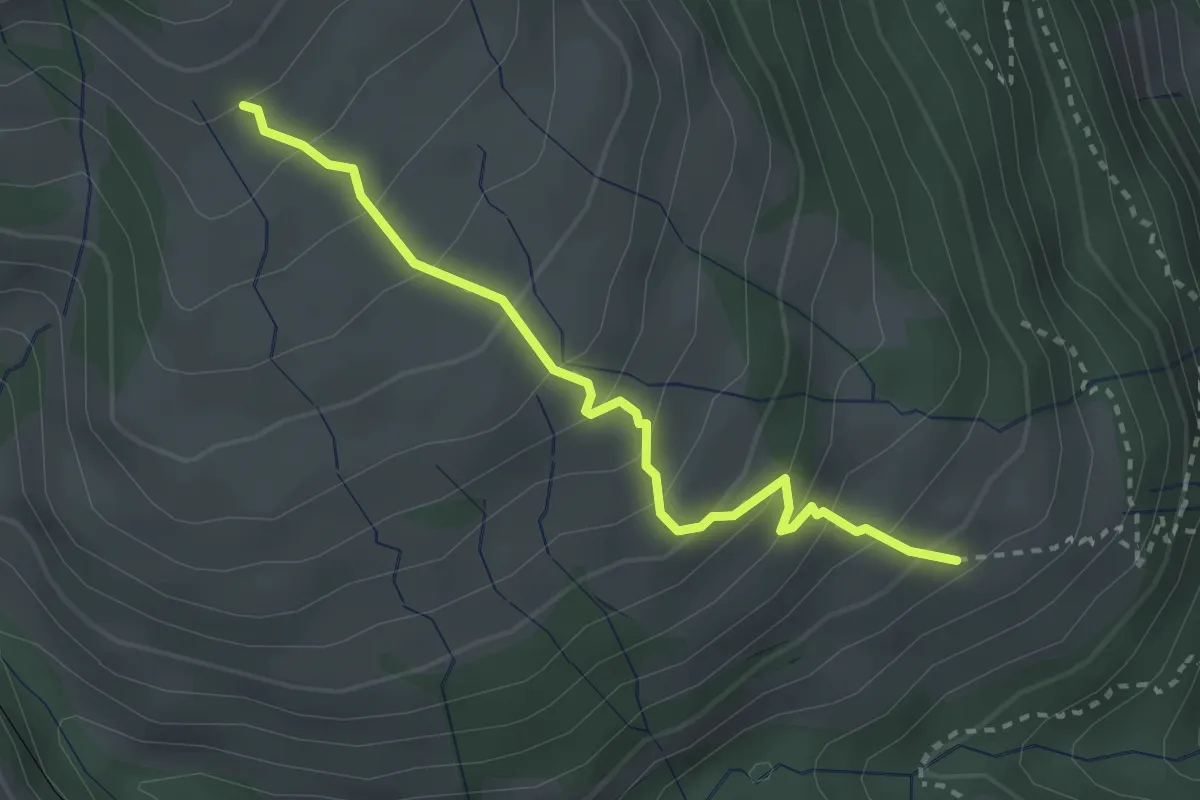
Medium · Trail
Schwändi – Resti
2.8 km · ↑ 289 m · 1 h 18 min · 14 km away
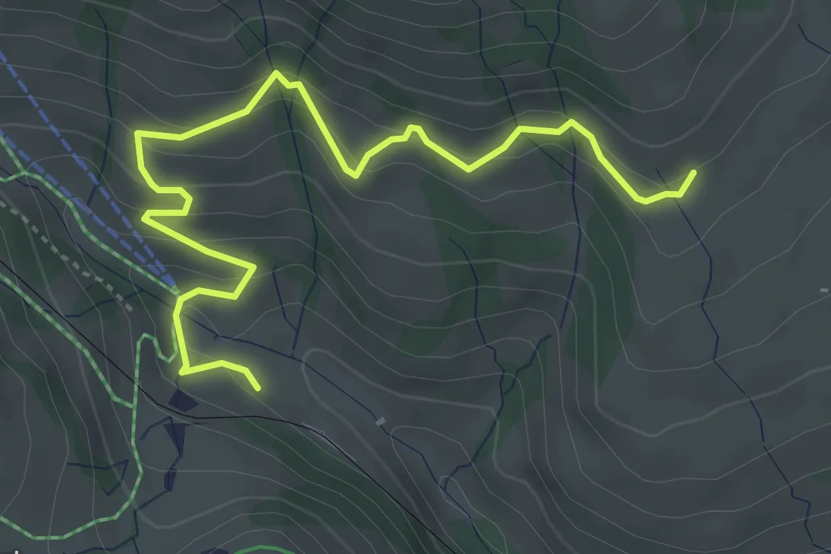
Medium · Trail
Schwändi – Rigi Klösterli
4.5 km · ↑ 328 m · 1 h 47 min · 14 km away
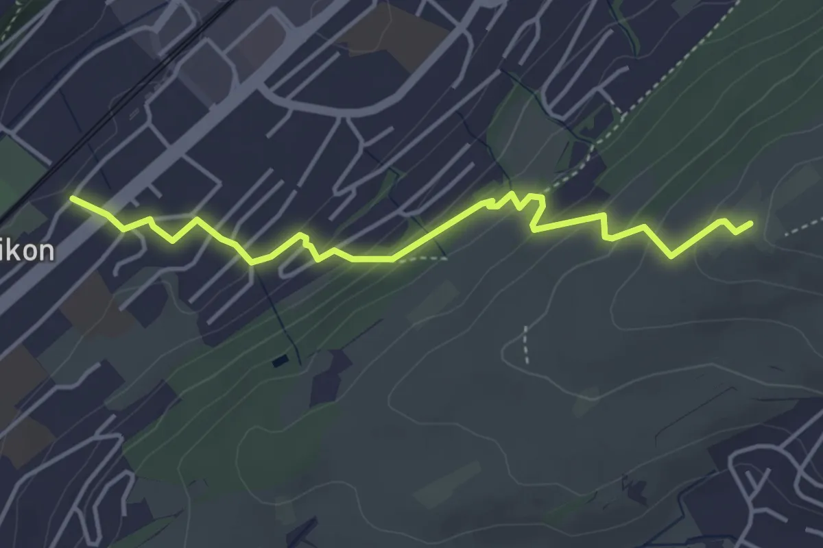
Easy · Trail
Ebikon – Ober Äbrüti
4.1 km · ↑ 228 m · 1 h 28 min · 14 km away
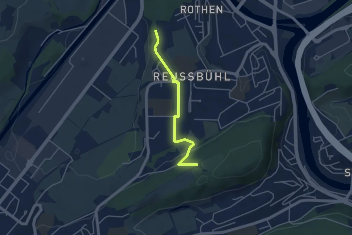
Easy · Trail
Zimeregg – Rothen
3.0 km · ↑ 68 m · 52 min · 14 km away
Medium · Trail
Gersau – Rotzingel
4.7 km · ↑ 449 m · 2 h 4 min · 14 km away
Demanding · Trail
Rigi Scheidegg Weg
16.0 km · ↑ 1276 m · 6 h 32 min · 14 km away
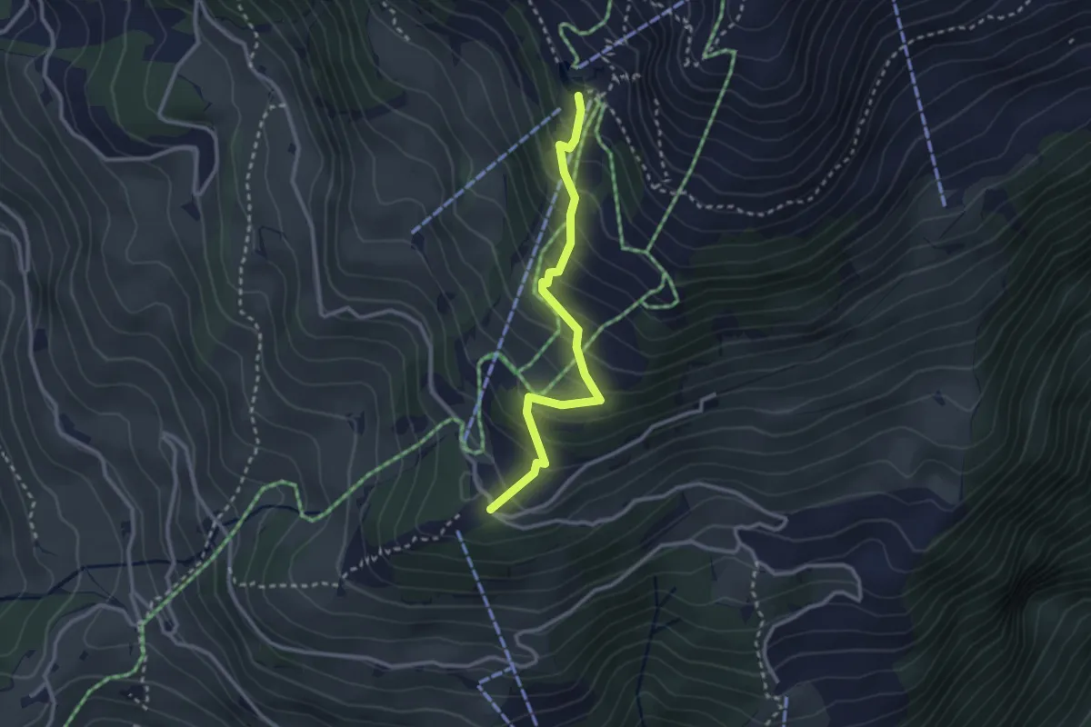
Medium · Cabin
Brunnihütte - Ristis
2.7 km · ↑ 252 m · 1 h 11 min · 14 km away
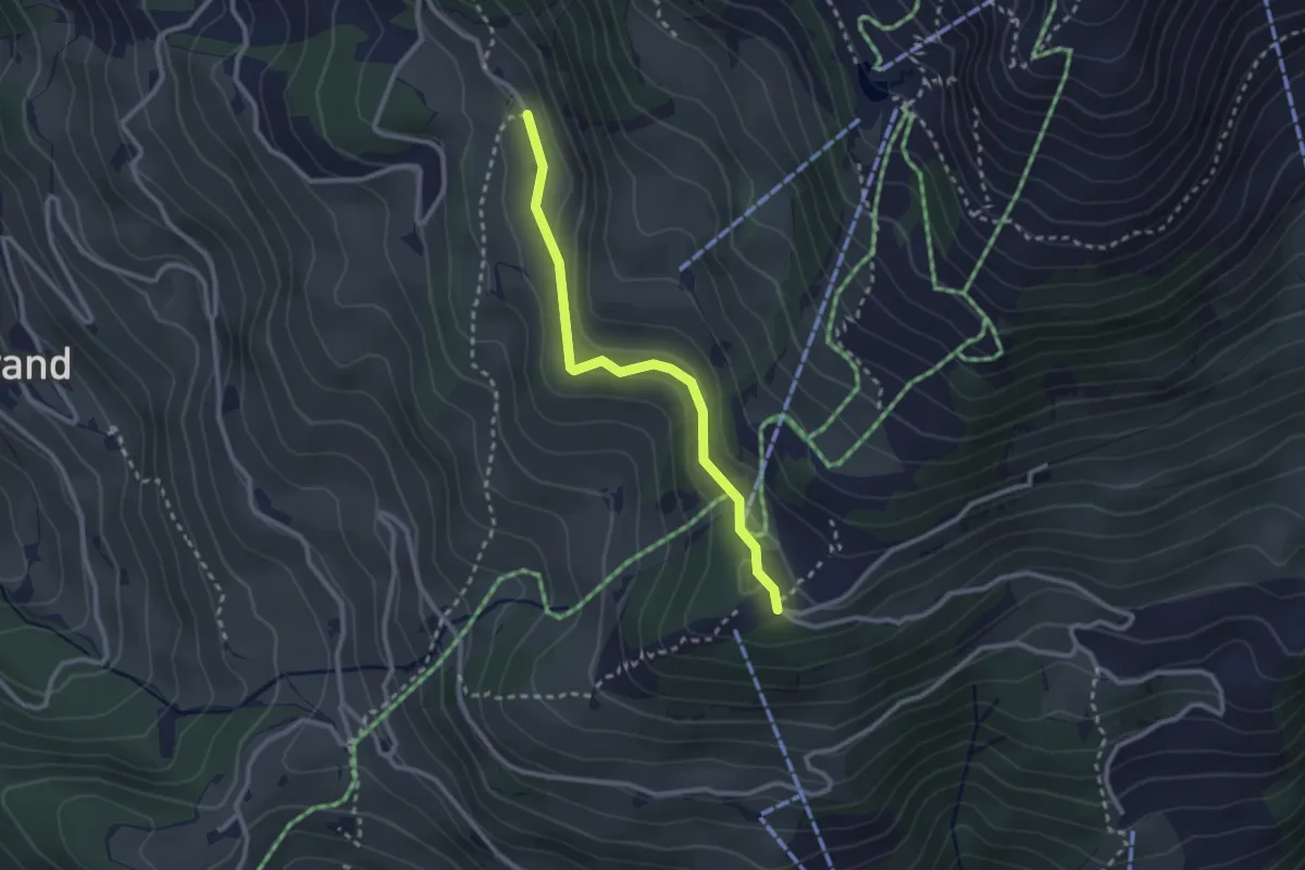
Easy · Trail
Ristis - Chruteren
2.5 km · ↑ 75 m · 45 min · 14 km away
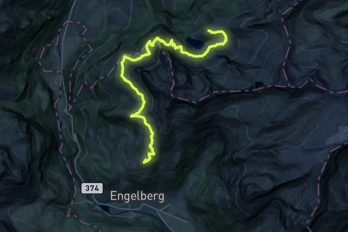
Demanding · Cabin
Walenpfad
11.4 km · ↑ 864 m · 4 h 39 min · 14 km away
Easy · Trail
Eigenthal - Chräje
3.7 km · ↑ 132 m · 1 h 9 min · 14 km away
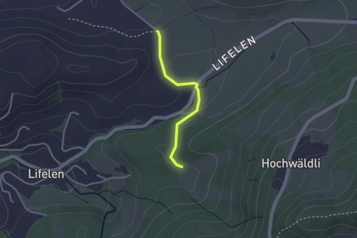
Easy · Trail
Scharmis – Chräje
2.1 km · ↑ 44 m · 35 min · 14 km away
Medium · Trail
Rothenburg - Emmen
12.5 km · ↑ 120 m · 3 h 13 min · 14 km away