Trails near Stans
595 hikes starting within 15 km, nearest first.
Nearest first, page 12 of 13
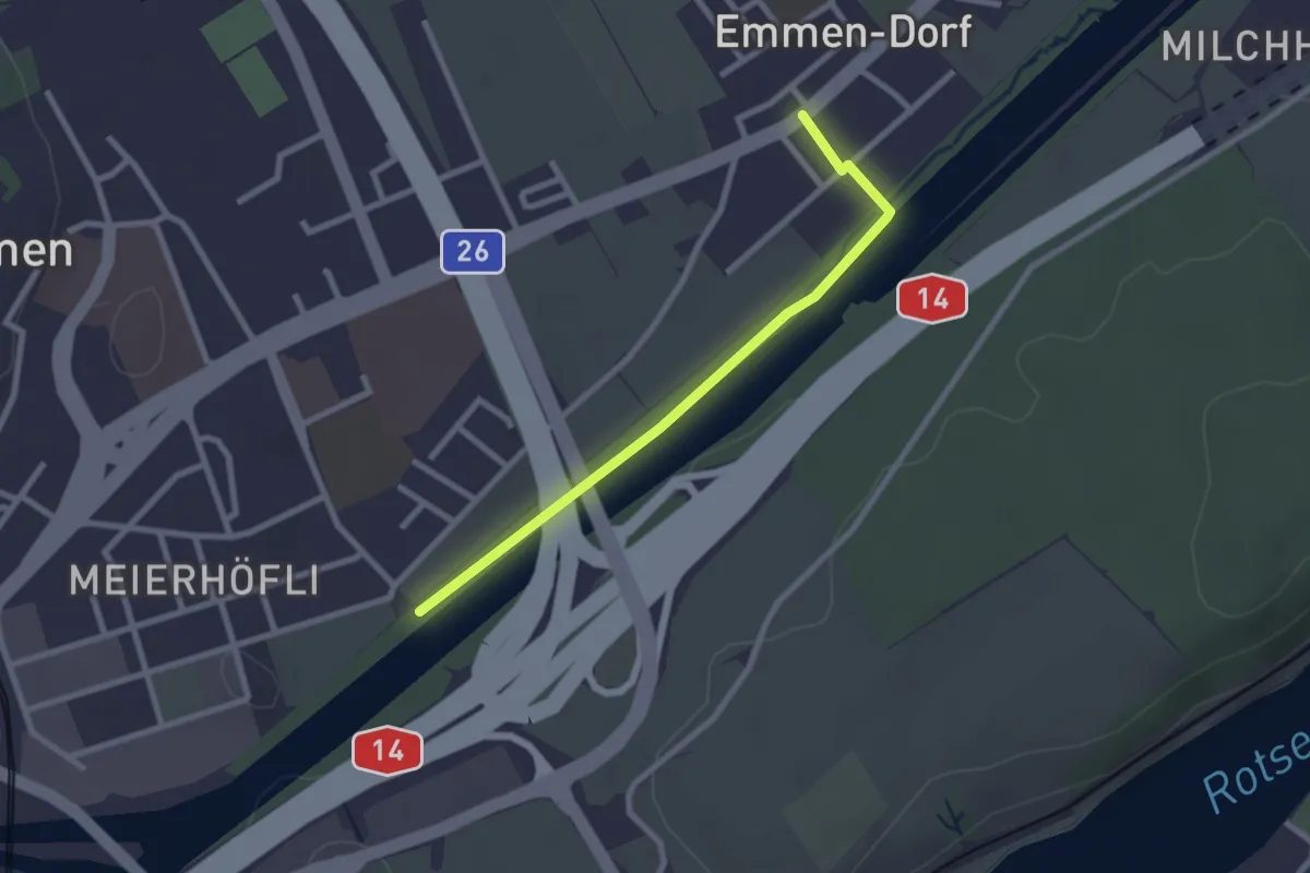
Easy · Trail
Emmen - Sädelbrücke
2.4 km · ↑ 0 m · 34 min · 14 km away
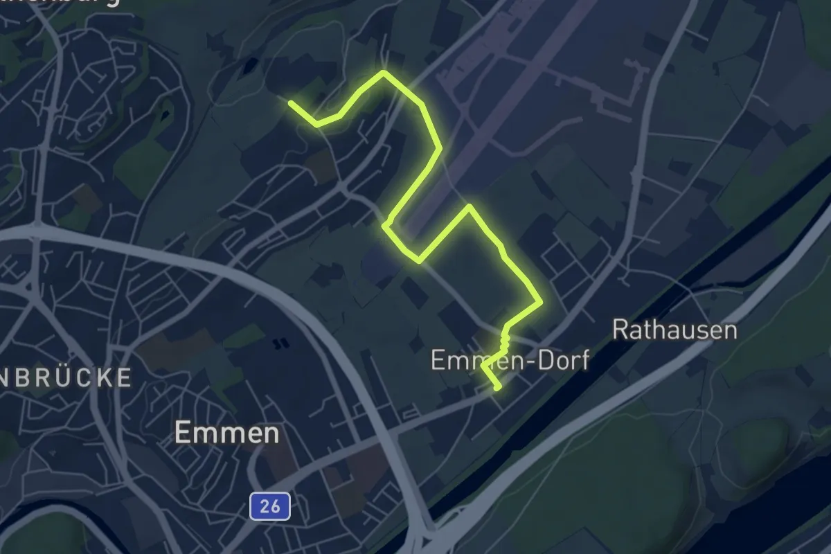
Easy · Trail
Neu Adligen - Emmen
6.4 km · ↑ 38 m · 1 h 36 min · 14 km away
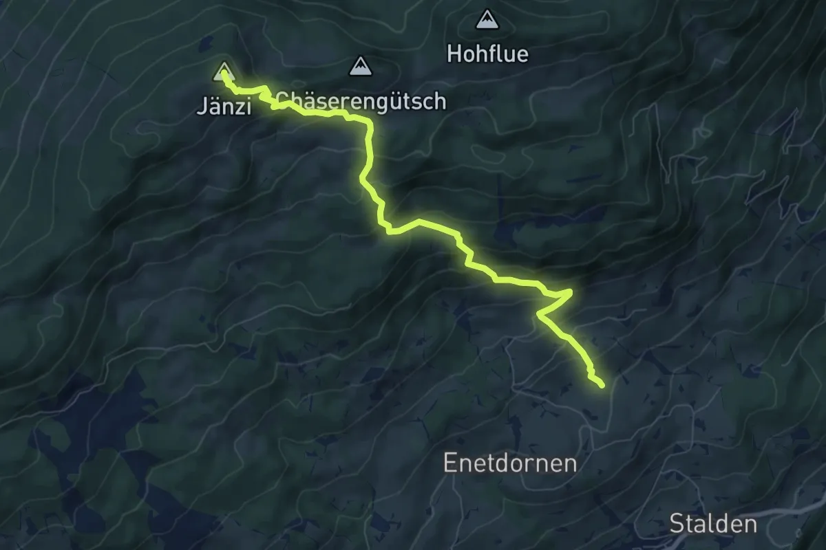
Medium · Summit
Jänzi – Rütimos
8.4 km · ↑ 721 m · 3 h 33 min · 14 km away
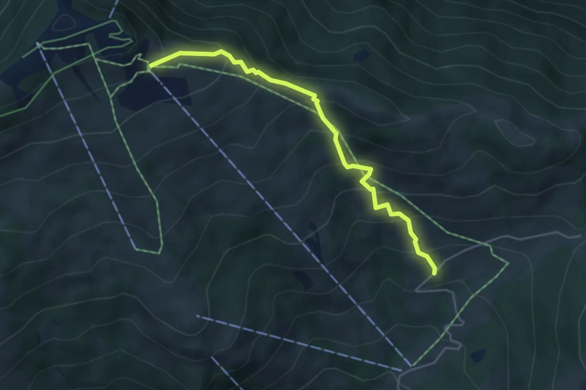
Medium · Trail
Hasenbüel – Burggeist
4.2 km · ↑ 423 m · 1 h 54 min · 14 km away
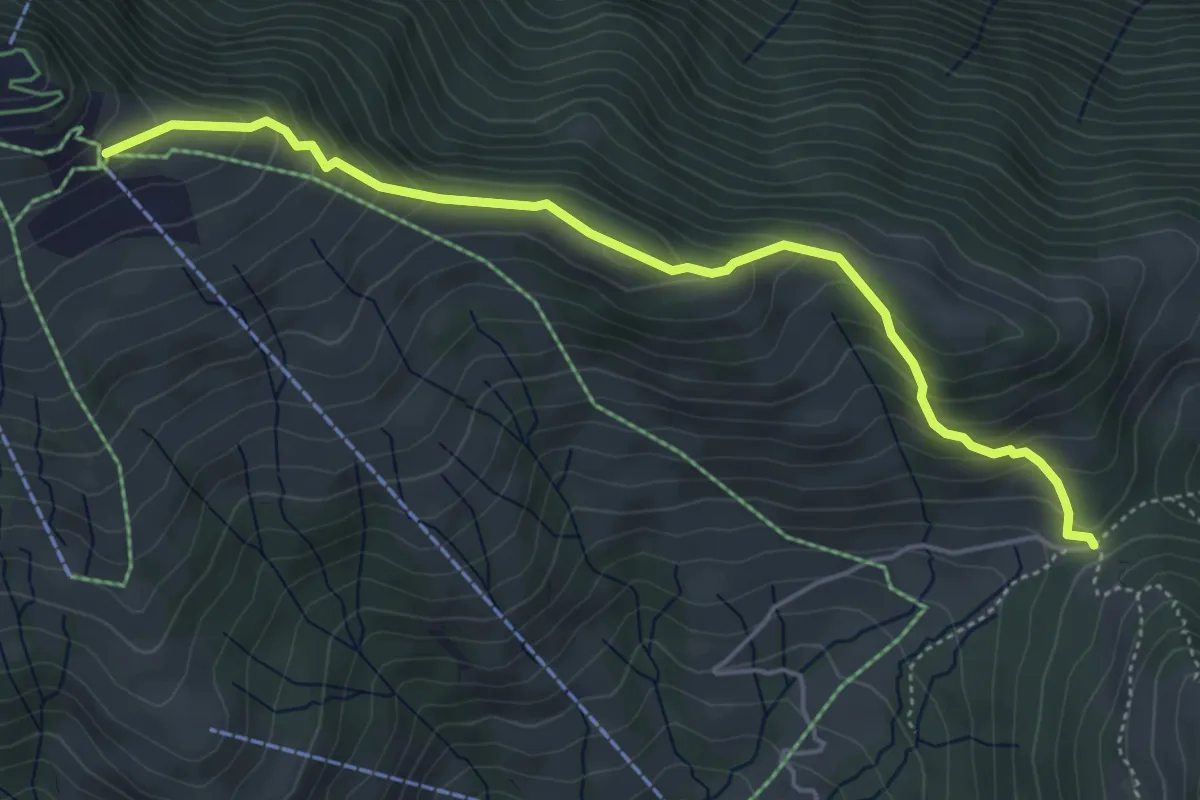
Medium · Trail
Gätterlipass - Burggeist
5.0 km · ↑ 374 m · 1 h 59 min · 14 km away
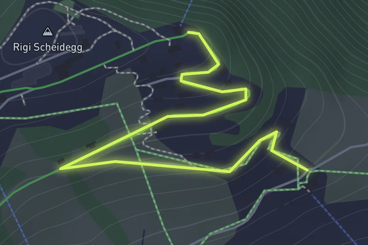
Easy · Trail
Rigi Scheidegg – Burggeist
2.0 km · ↑ 123 m · 45 min · 14 km away
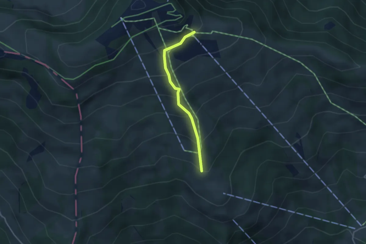
Easy · Trail
Obermatthütte – Burggeist
2.4 km · ↑ 258 m · 1 h 8 min · 14 km away
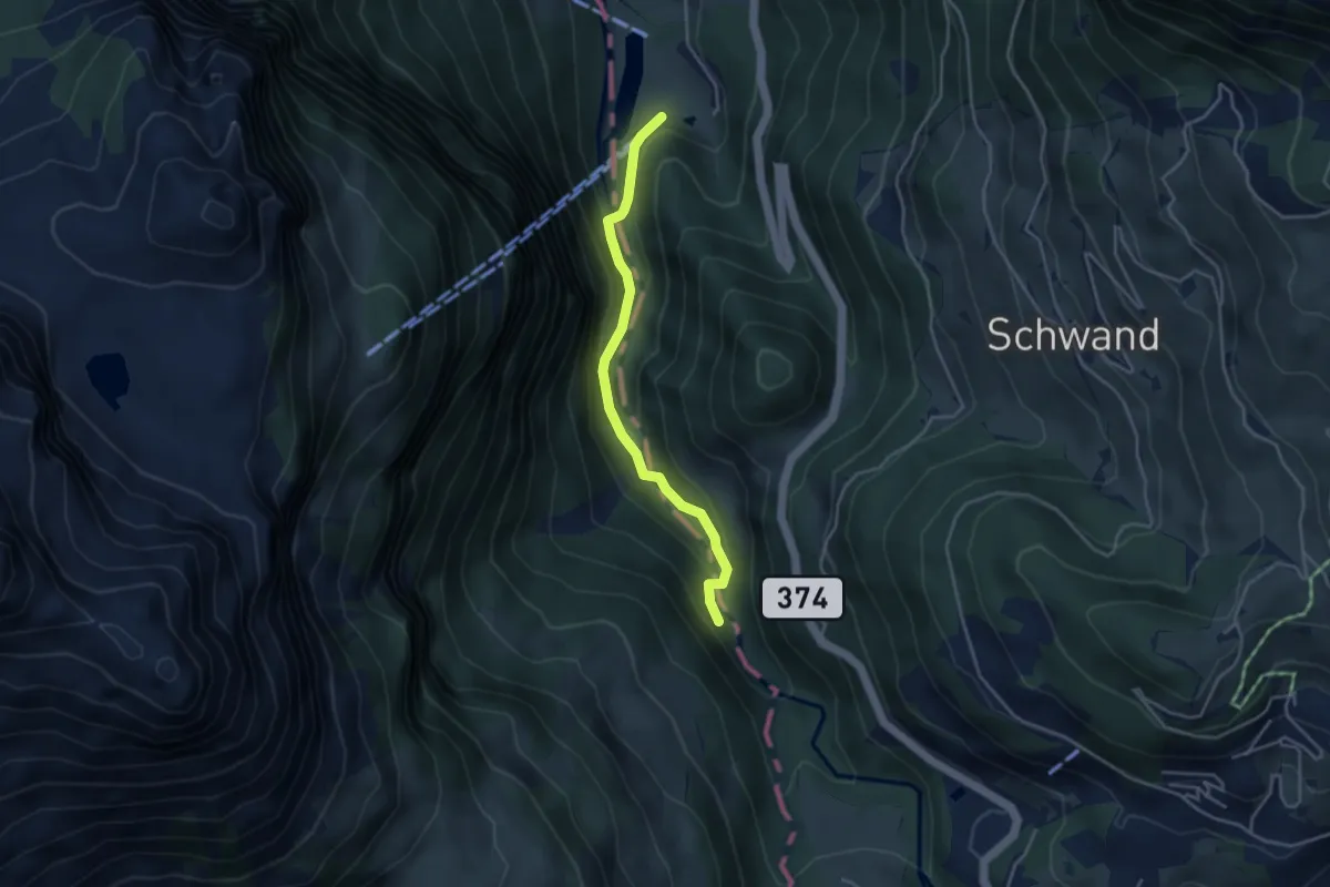
Easy · Trail
Schwändliloch – Obermatt
3.6 km · ↑ 167 m · 1 h 13 min · 14 km away
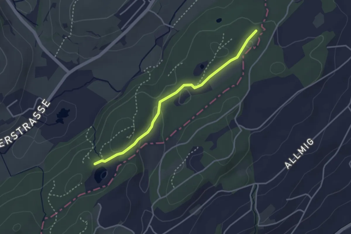
Easy · Trail
Teufried – Wagenmoos
3.1 km · ↑ 35 m · 48 min · 14 km away
Easy · Trail
Teufried - Sunnehöfli
2.0 km · ↑ 39 m · 33 min · 14 km away
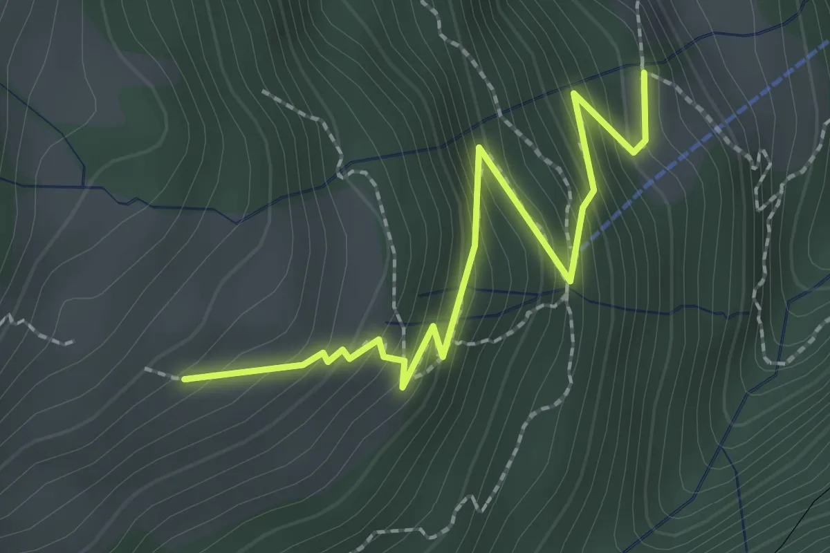
Medium · Trail
Resti-Dächli
2.4 km · ↑ 268 m · 1 h 10 min · 14 km away
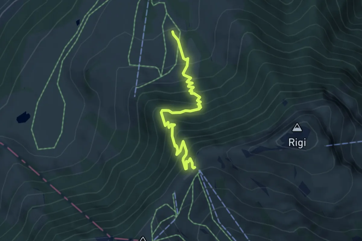
Medium · Trail
Holderen – Rigi Staffel
4.9 km · ↑ 513 m · 2 h 16 min · 14 km away
Easy · Trail
Udligenswil - Teufried
3.4 km · ↑ 82 m · 58 min · 14 km away
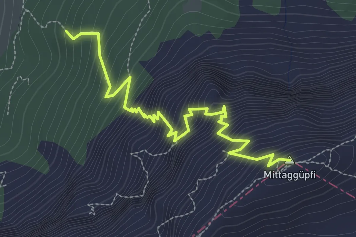
Demanding · Summit
Stäfeli-Mittaggüpfi
3.2 km · ↑ 516 m · 1 h 53 min · 14 km away
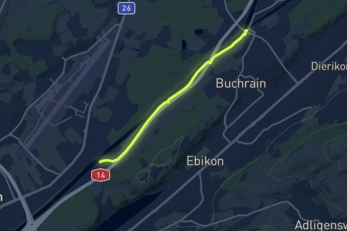
Easy · Trail
Rathausenbrücke – Perlenbrücke
7.7 km · ↑ 8 m · 1 h 50 min · 14 km away
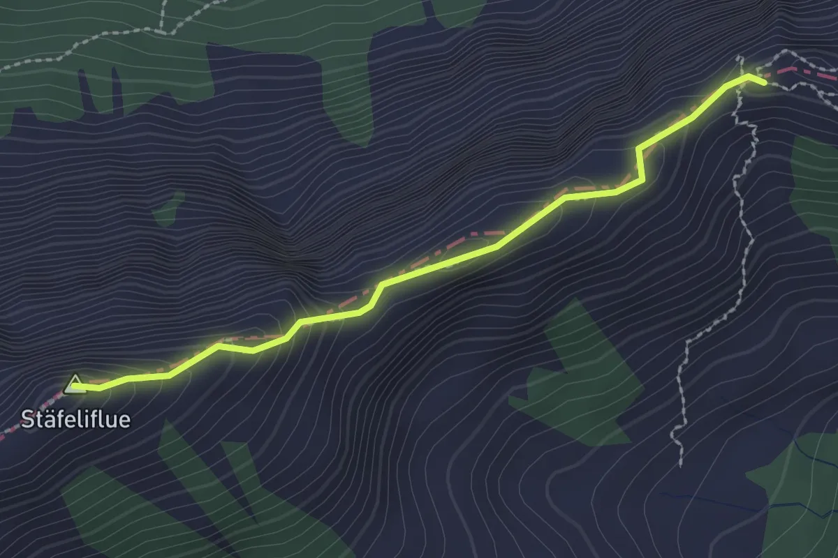
Demanding · Summit
Tripolihütte - Kanapee
2.3 km · ↑ 215 m · 1 h 1 min · 14 km away
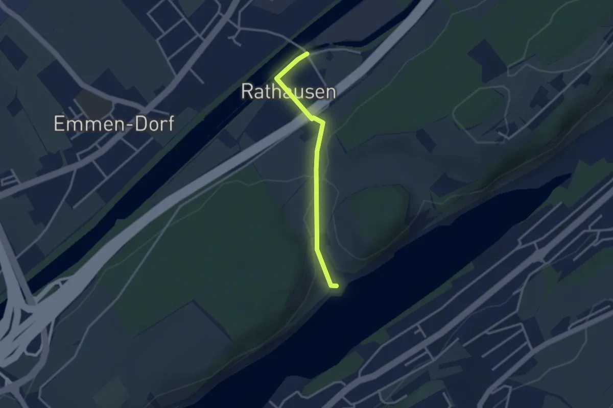
Easy · Trail
Rathausen Brücke – Seehof
2.5 km · ↑ 45 m · 41 min · 14 km away
Easy · Trail
Sädelbrücke - Rathausen Brücke
4.1 km · ↑ 13 m · 1 h · 14 km away
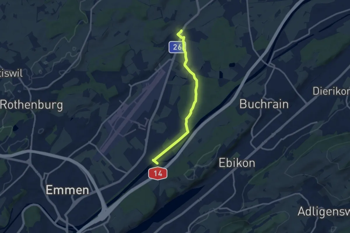
Medium · Trail
Waldibrugg – Rathausen
8.1 km · ↑ 21 m · 1 h 58 min · 14 km away
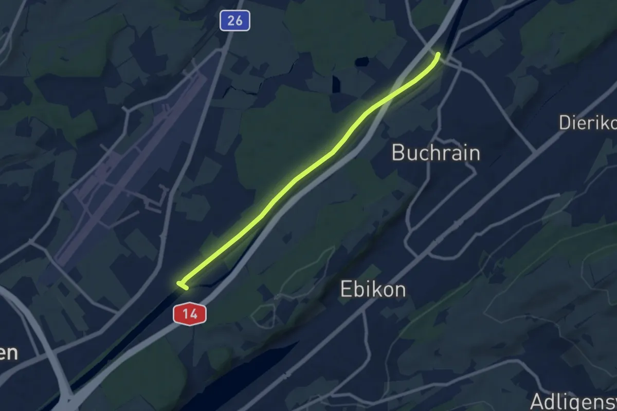
Easy · Trail
Perlenbrücke – Rathausenbrücke
7.5 km · ↑ 22 m · 1 h 50 min · 14 km away
Easy · Trail
Unter Wolfisbüel - Emmenweid
2.2 km · ↑ 72 m · 41 min · 14 km away
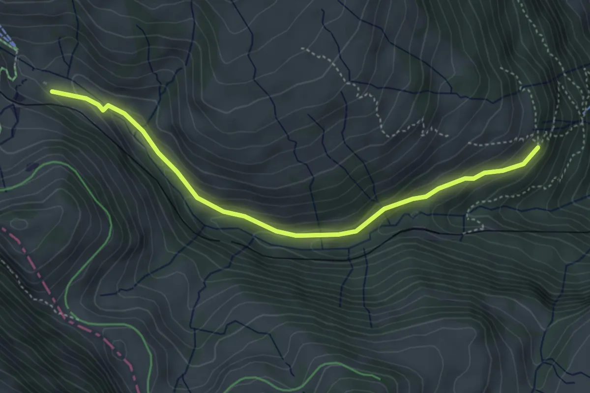
Medium · Trail
Rigi Klösterli – Dächli
4.5 km · ↑ 229 m · 1 h 34 min · 14 km away
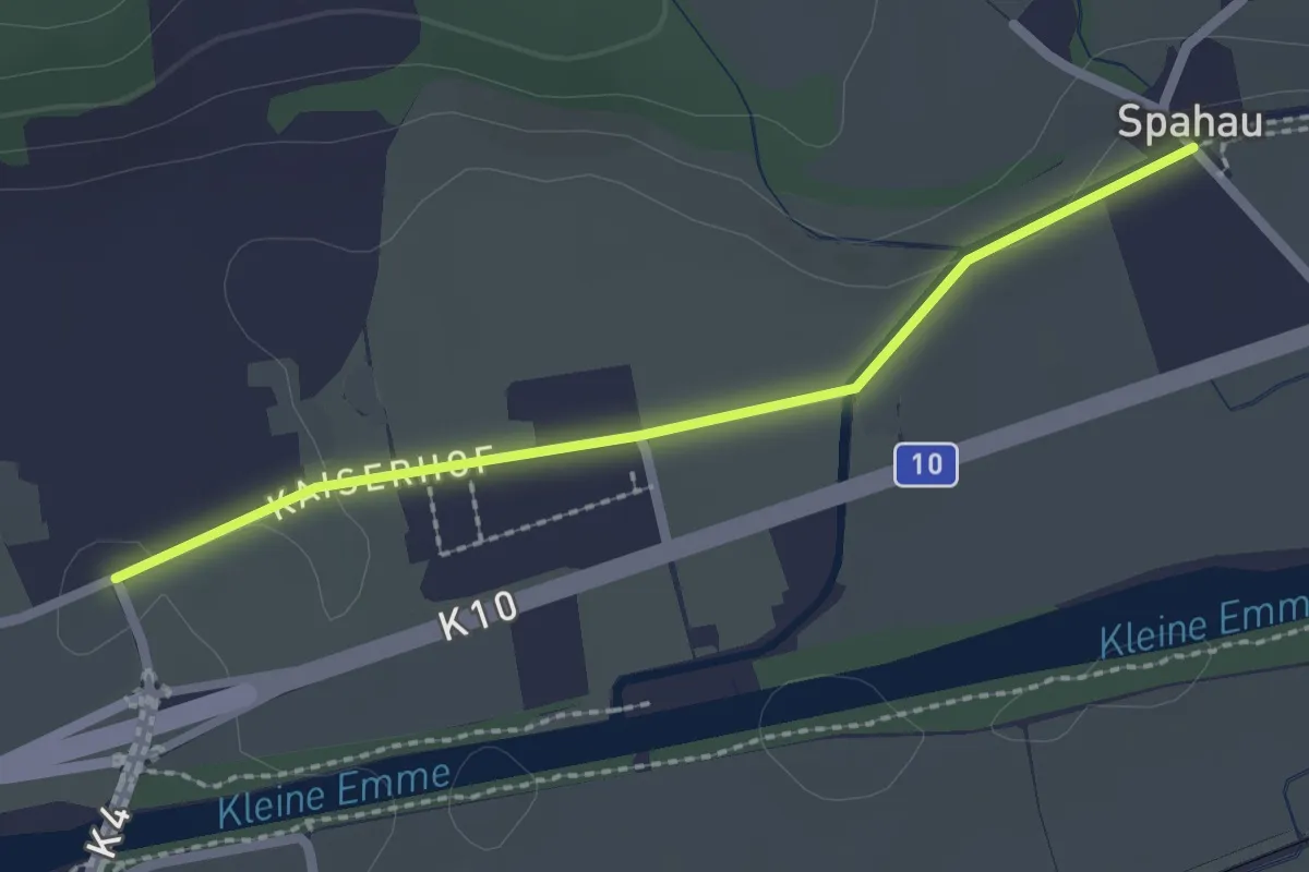
Easy · Trail
Neuhushof – Spahau
2.2 km · ↑ 9 m · 32 min · 14 km away
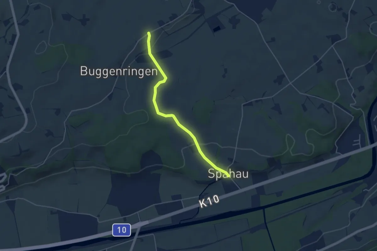
Easy · Trail
Spitzhof-Spahau
4.1 km · ↑ 84 m · 1 h 9 min · 14 km away
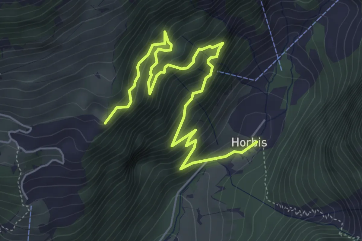
Medium · Trail
Horbis – Schletteren
6.5 km · ↑ 603 m · 2 h 51 min · 14 km away
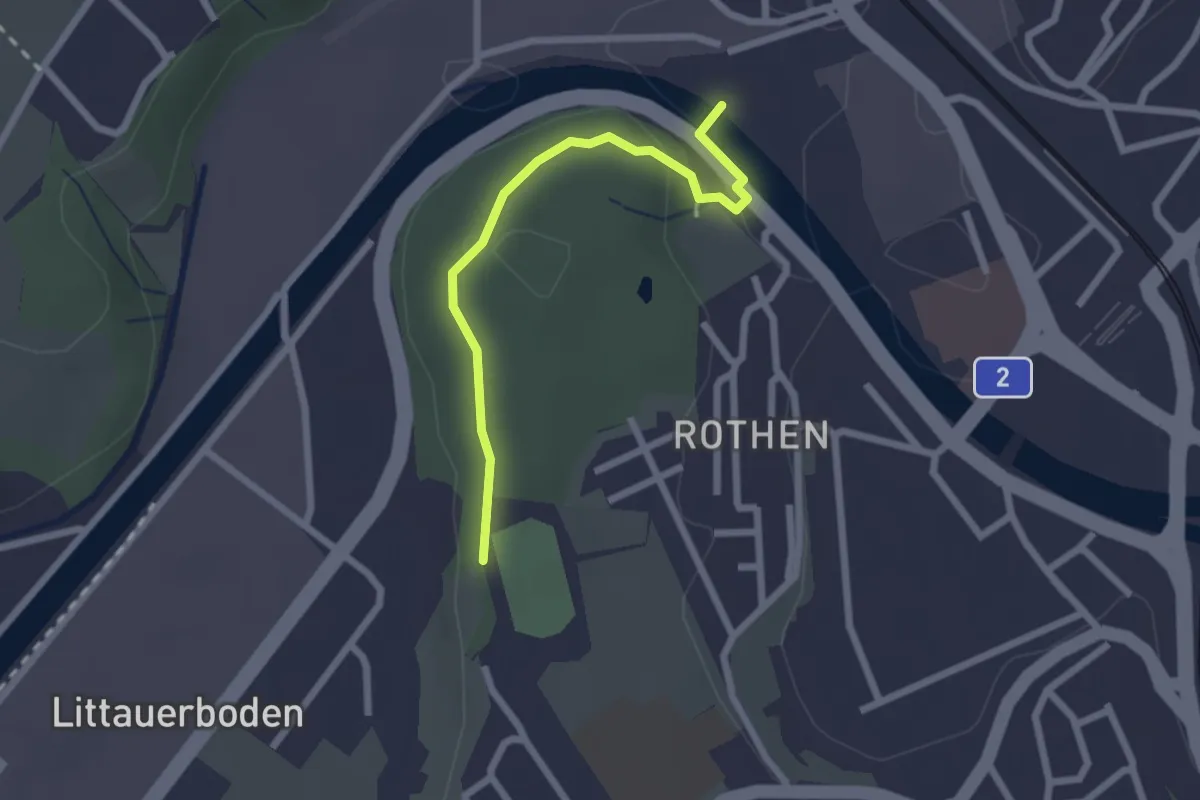
Easy · Trail
Rothen – Viscose
2.2 km · ↑ 50 m · 38 min · 14 km away
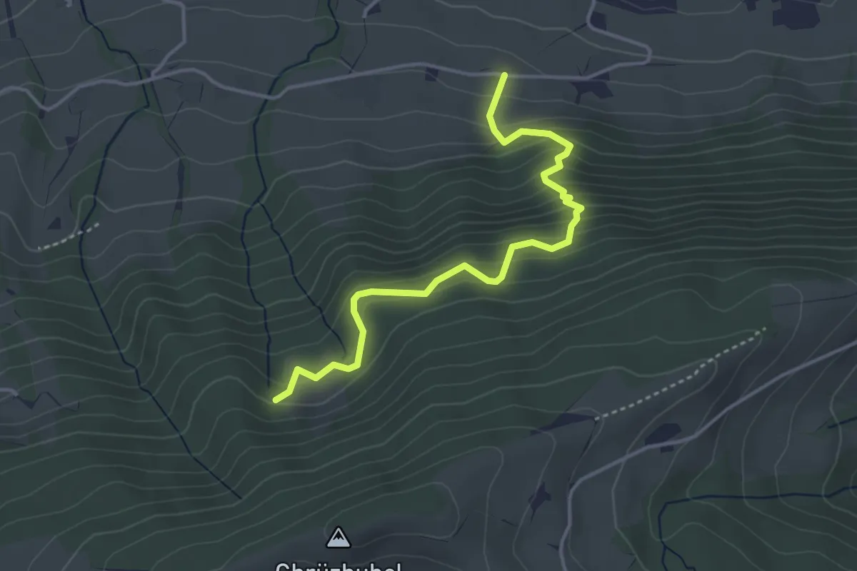
Medium · Trail
Gspan – Ägerten
3.9 km · ↑ 402 m · 1 h 47 min · 15 km away
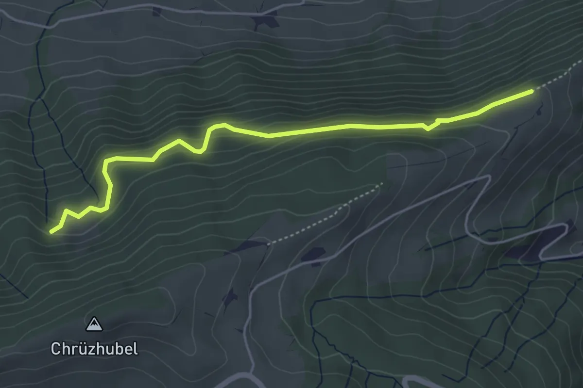
Easy · Trail
Schürhof – Gspan
4.6 km · ↑ 269 m · 1 h 41 min · 15 km away
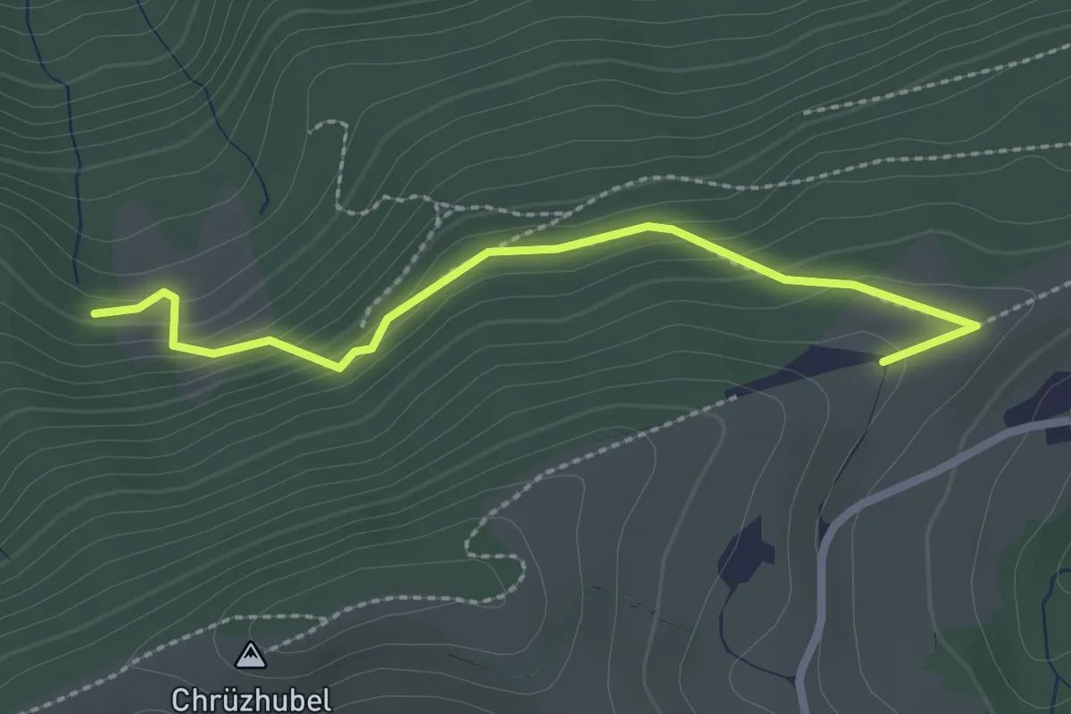
Easy · Trail
Gspan – Lehnhof
2.4 km · ↑ 164 m · 55 min · 15 km away
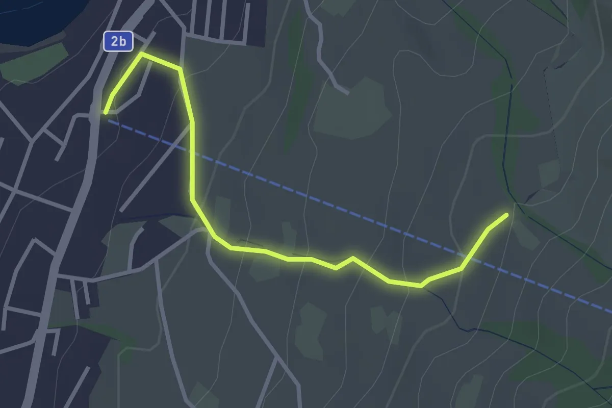
Easy · Trail
Sämpel – Talstation LKüS
2.8 km · ↑ 164 m · 1 h 1 min · 15 km away
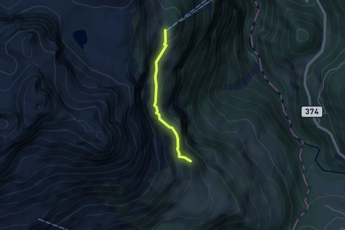
Easy · Cabin
Zingel – Stalden
2.8 km · ↑ 262 m · 1 h 13 min · 15 km away
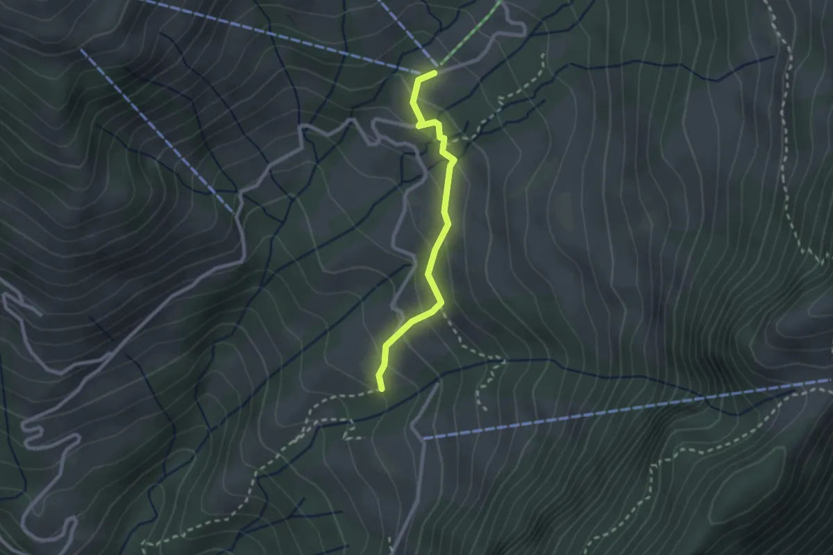
Easy · Trail
Rotzingel - Gschwänd Talstation LSB
2.1 km · ↑ 154 m · 50 min · 15 km away
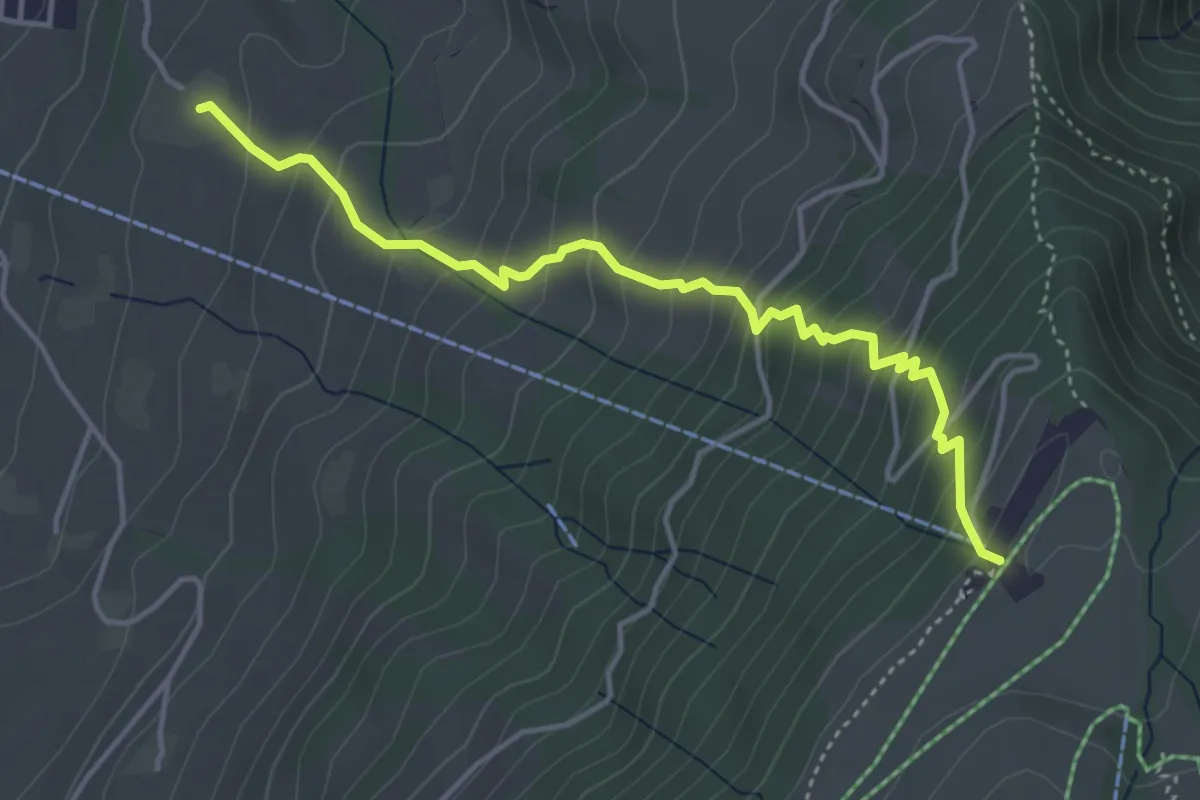
Medium · Trail
Alpenhof – Seebodenalp
4.4 km · ↑ 463 m · 2 h 2 min · 15 km away
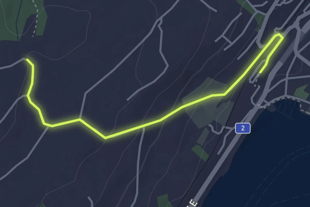
Easy · Trail
Küsnacht – Sunnehöfli
3.6 km · ↑ 111 m · 1 h 6 min · 15 km away
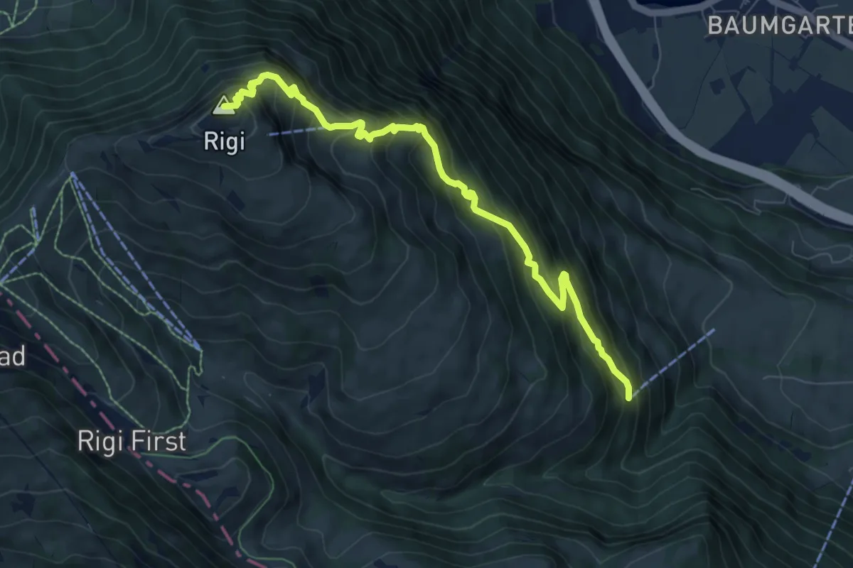
Demanding · Summit
Rigi Kulm - Dächli
8.0 km · ↑ 861 m · 3 h 45 min · 15 km away
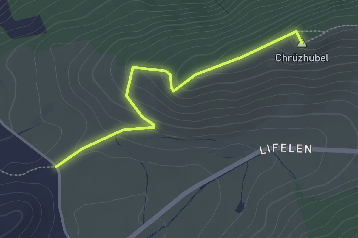
Easy · Summit
Scharmis – Chrüzhubel
2.8 km · ↑ 116 m · 54 min · 15 km away
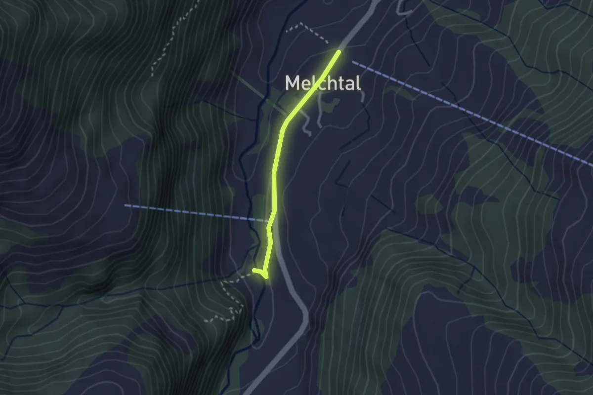
Easy · Trail
Melchtal - Fluemätteli
2.0 km · ↑ 30 m · 33 min · 15 km away
Easy · Trail
Udligenswil - Götzetal
3.4 km · ↑ 106 m · 1 h 2 min · 15 km away
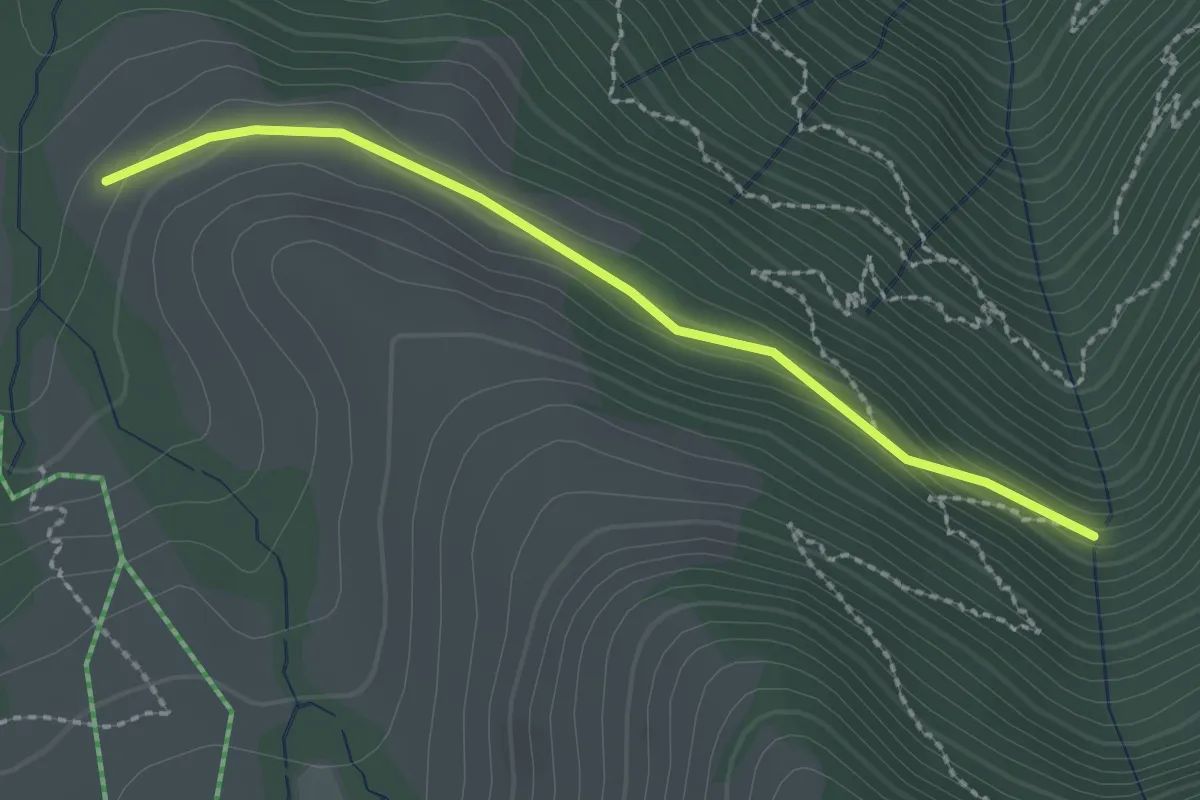
Easy · Trail
Stock – Alpetli
2.3 km · ↑ 41 m · 37 min · 15 km away
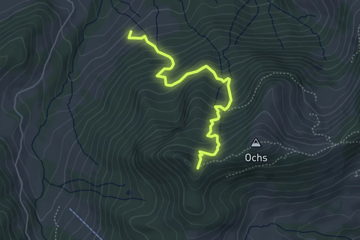
Medium · Trail
Grünenwald – Hüenerhubel
4.6 km · ↑ 464 m · 2 h 6 min · 15 km away
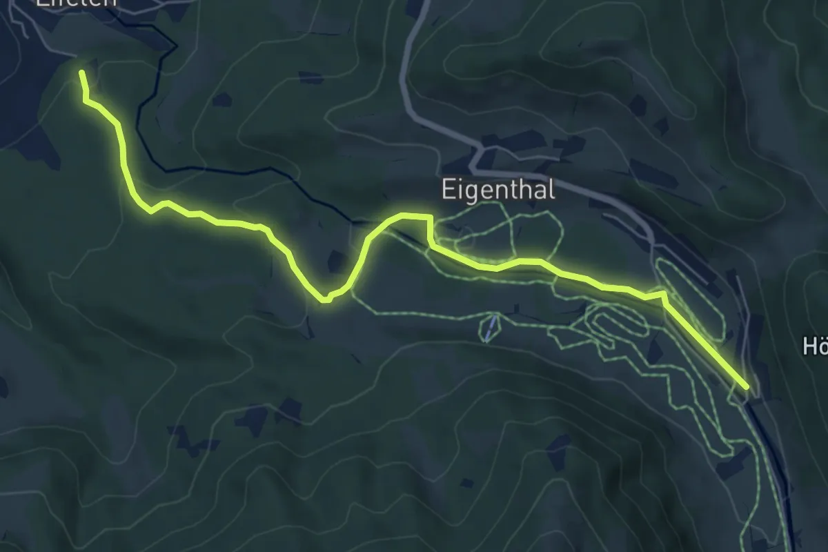
Easy · Trail
Sonnhalde - Linden - Meiestoss - Moos
7.3 km · ↑ 180 m · 2 h 7 min · 15 km away
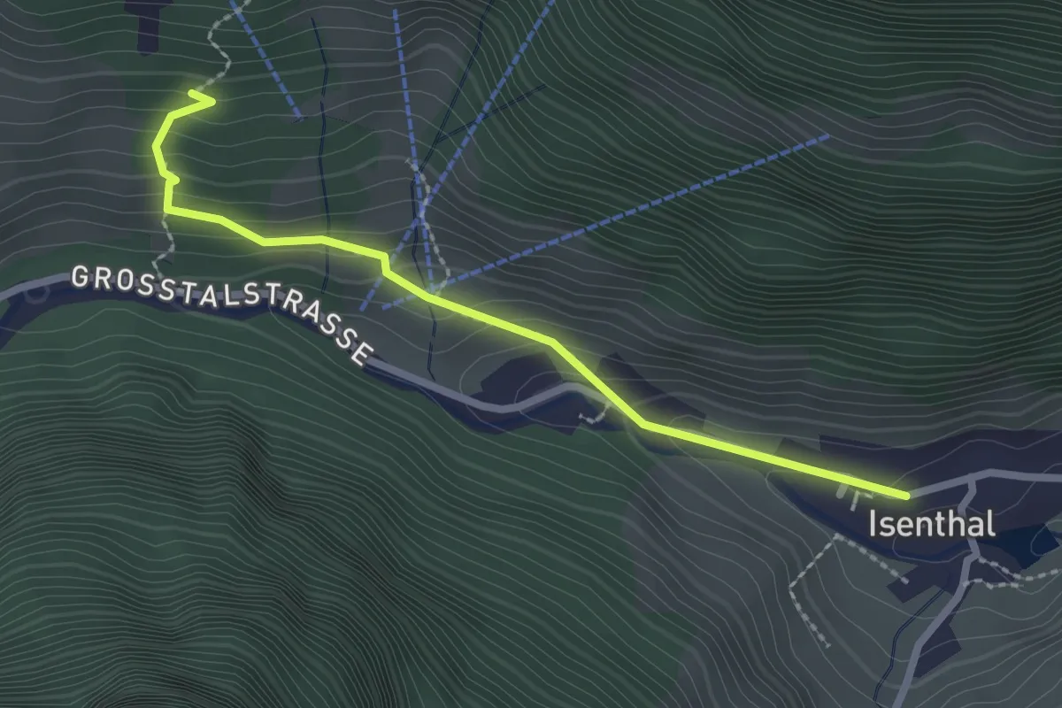
Demanding · Trail
Isenthal – Stalden
2.3 km · ↑ 169 m · 55 min · 15 km away
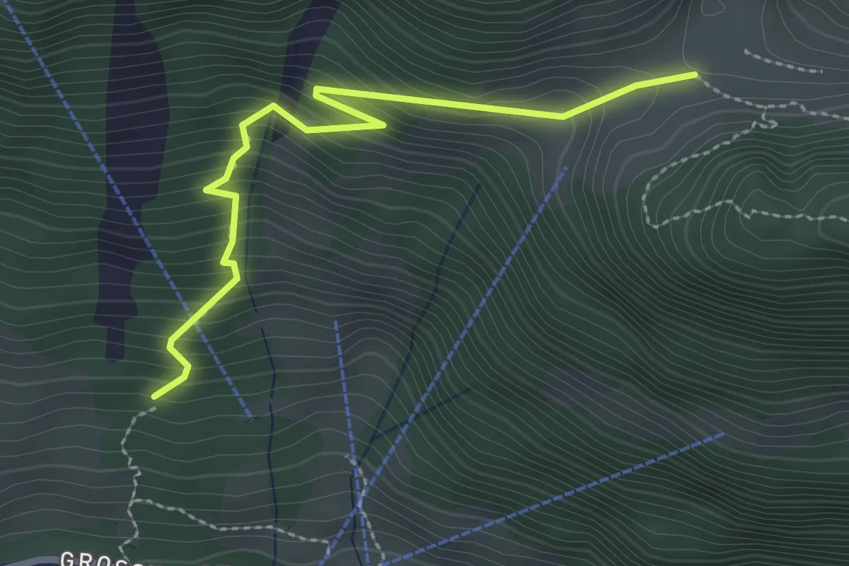
Demanding · Trail
Stalden – Furggelen
2.6 km · ↑ 312 m · 1 h 18 min · 15 km away
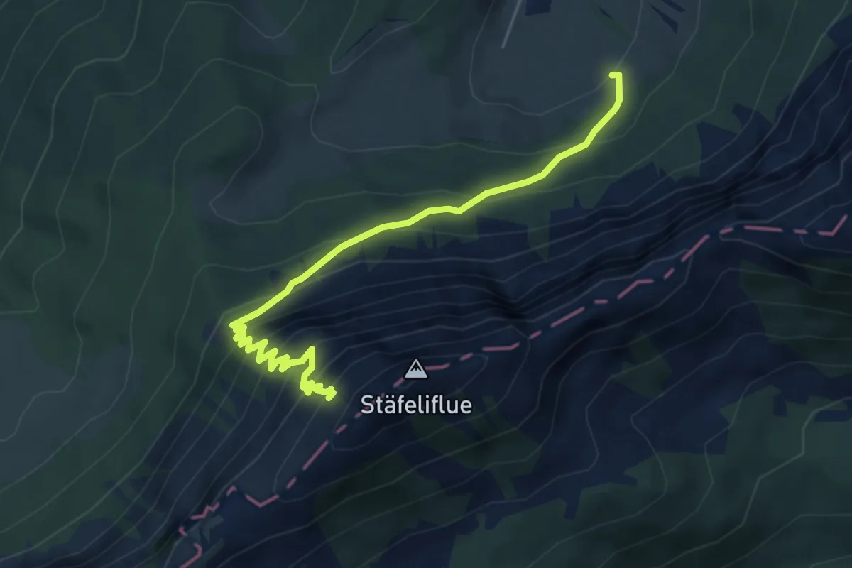
Demanding · Trail
Änerstäfeli - Kanapee
5.3 km · ↑ 540 m · 2 h 25 min · 15 km away
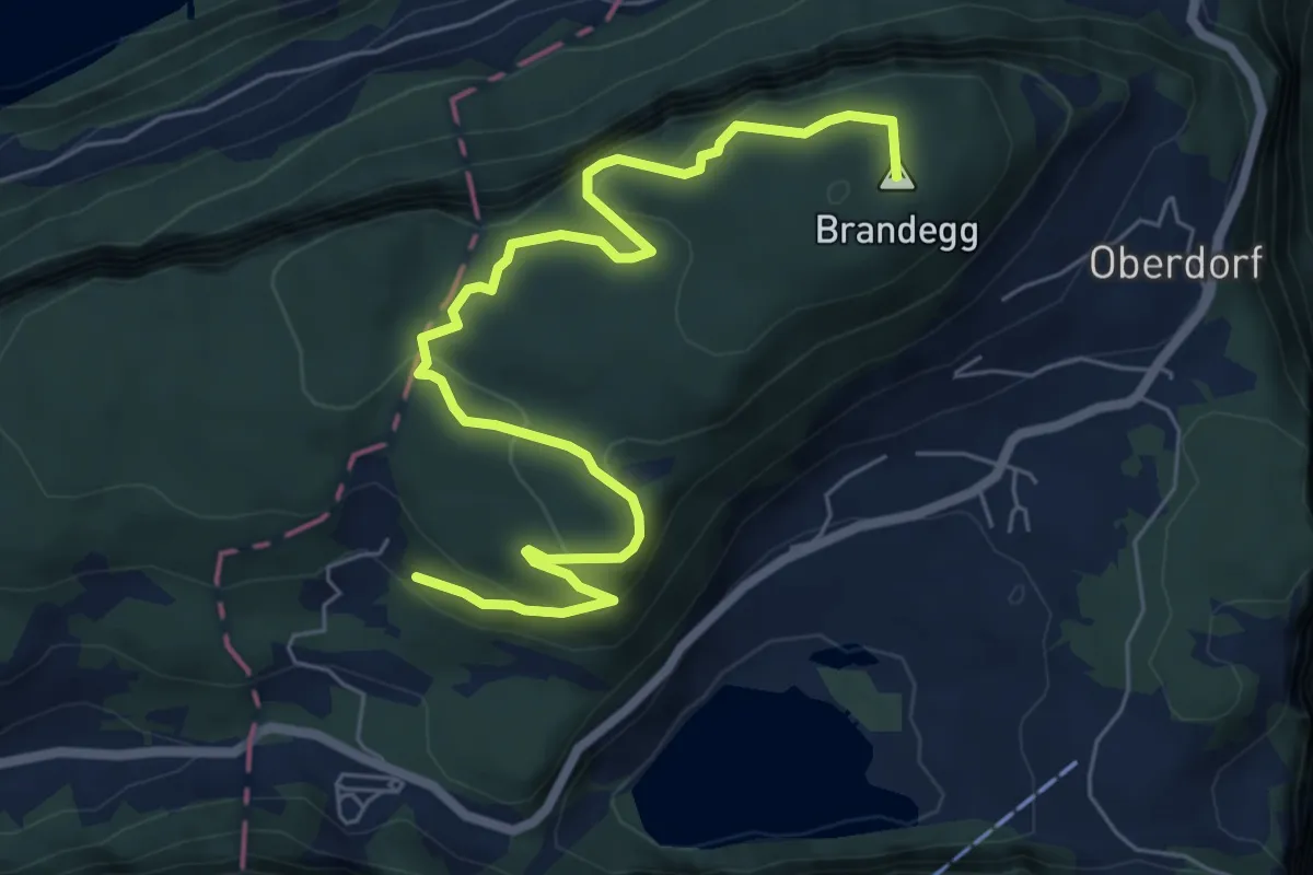
Medium · Summit
Oberschwand – Kapelle
7.5 km · ↑ 499 m · 2 h 52 min · 15 km away
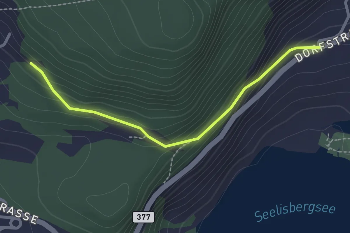
Easy · Trail
Geissweg – Oberschwand
2.2 km · ↑ 121 m · 47 min · 15 km away
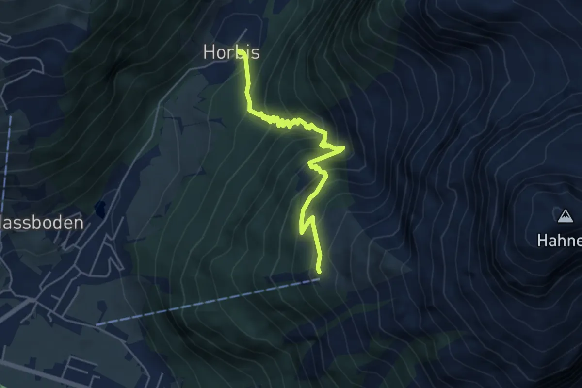
Demanding · Trail
Horbis – Ober Zieblen
4.7 km · ↑ 499 m · 2 h 11 min · 15 km away
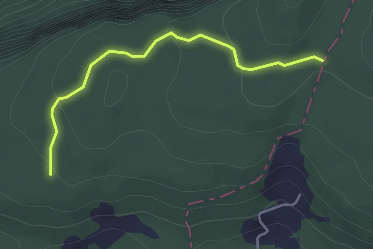
Easy · Trail
Brennwald – Plattenzug
2.9 km · ↑ 182 m · 1 h 4 min · 15 km away