Trails near Stans
595 hikes starting within 15 km, nearest first.
Nearest first, page 13 of 13
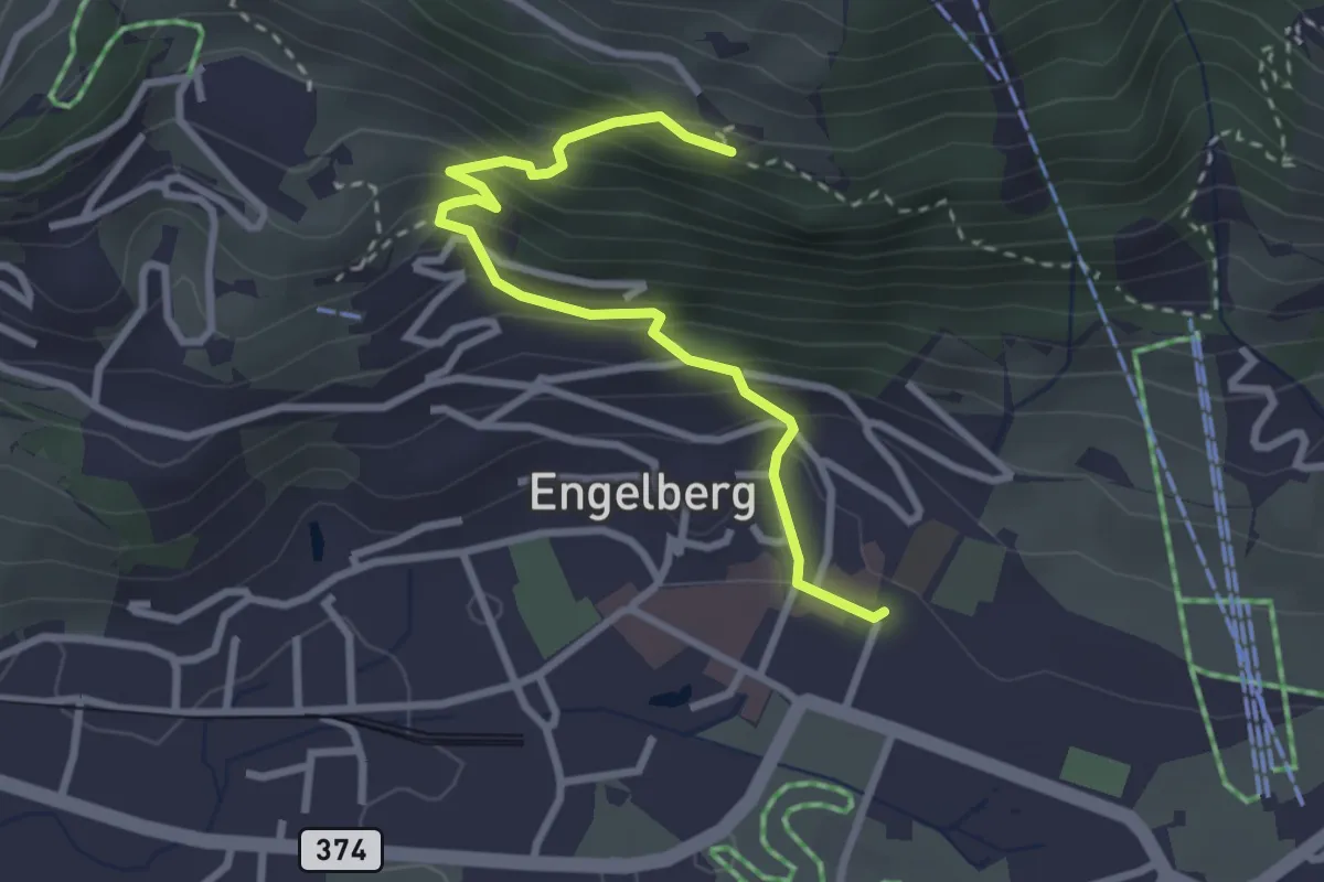
Easy · Trail
Engelberg Dorf – Flüematt
2.9 km · ↑ 297 m · 1 h 20 min · 15 km away
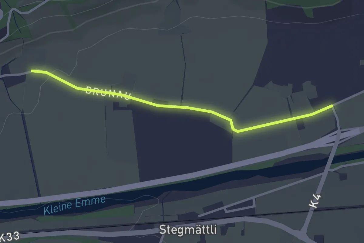
Easy · Trail
Witentor – Neuhushof
2.7 km · ↑ 13 m · 40 min · 15 km away
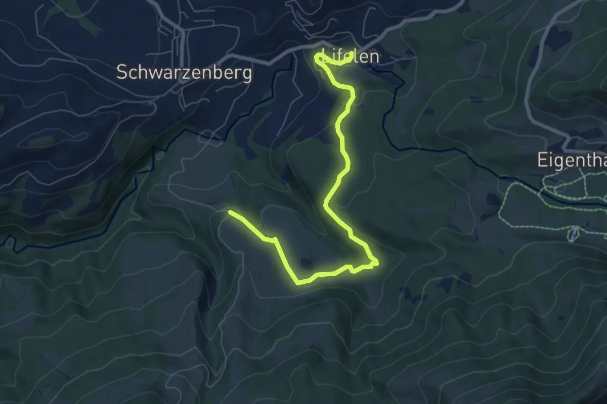
Easy · Trail
Wassermoos - Lifelen
7.3 km · ↑ 201 m · 2 h 10 min · 15 km away
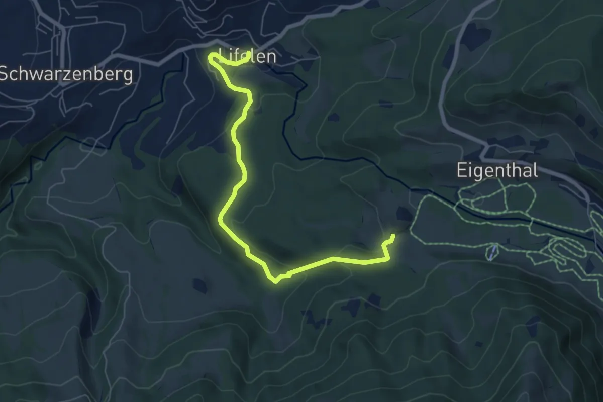
Easy · Trail
Lifelen - Moos - 850 - Meiestoss
6.4 km · ↑ 220 m · 1 h 59 min · 15 km away
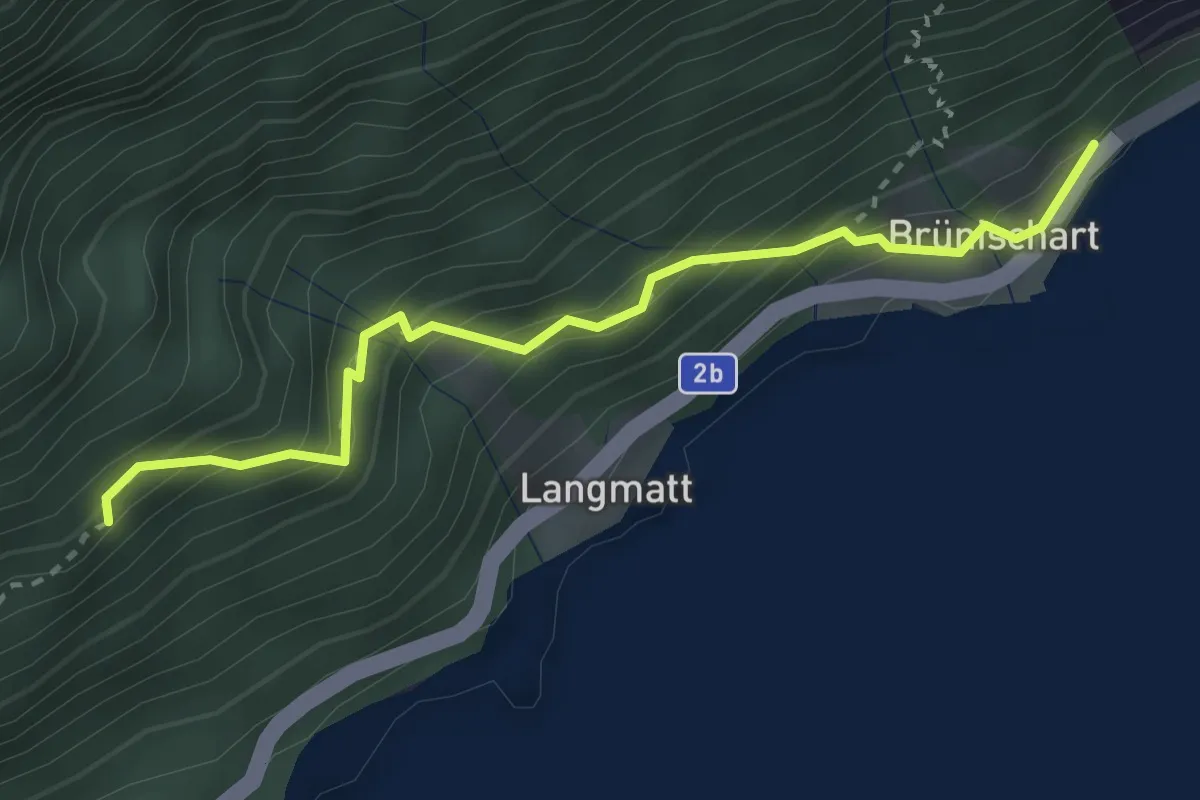
Medium · Trail
Brünichart - Oberholz
2.9 km · ↑ 330 m · 1 h 24 min · 15 km away
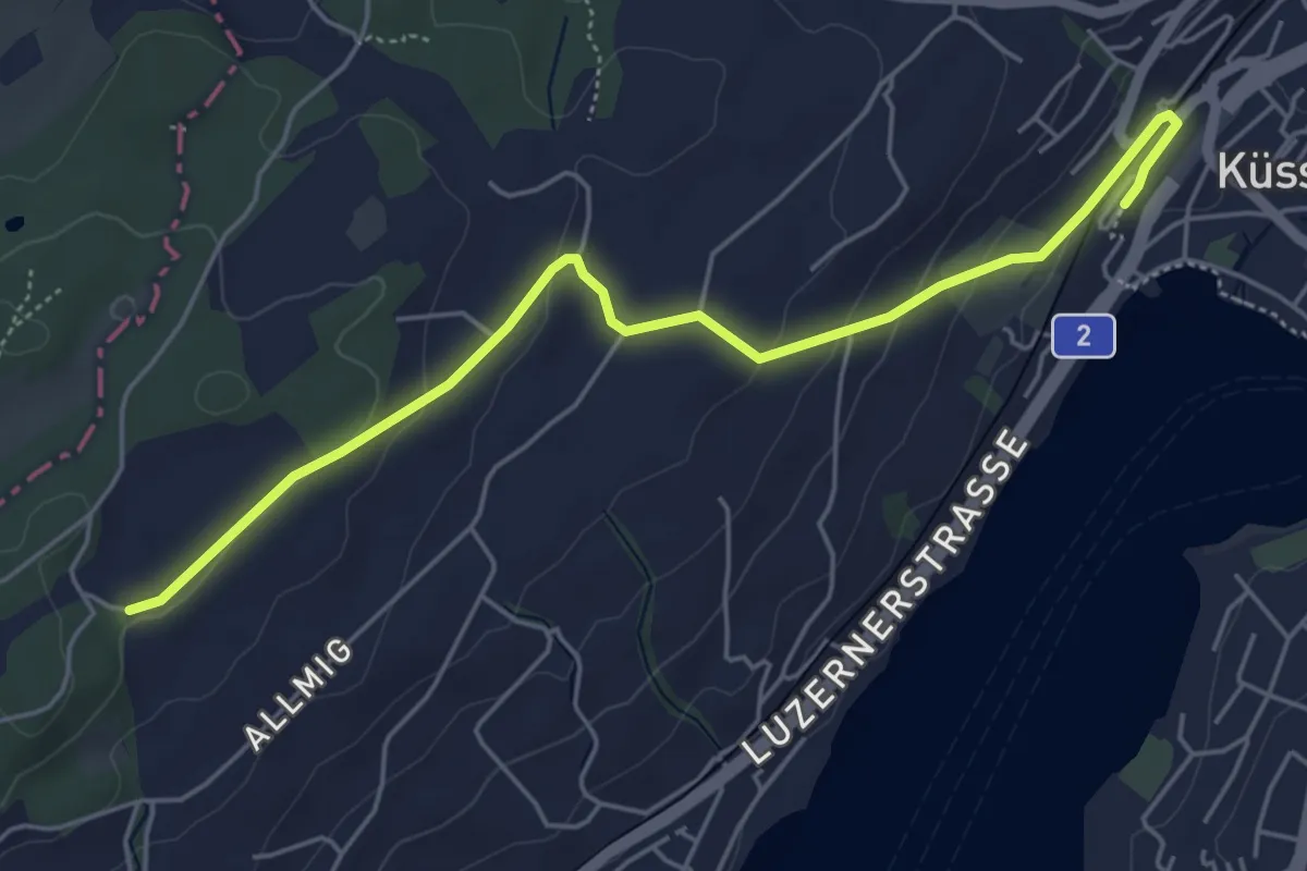
Easy · Trail
Forenmoos – Küssnacht
5.5 km · ↑ 152 m · 1 h 38 min · 15 km away
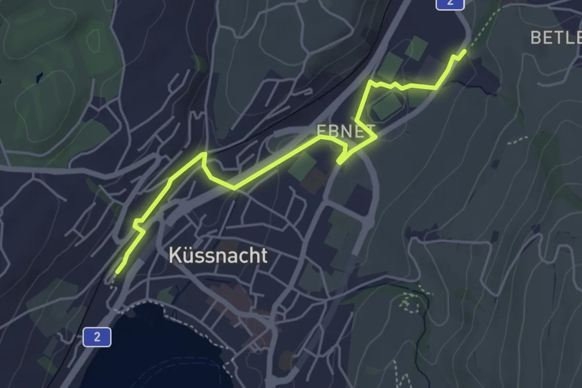
Easy · Trail
Küssnacht – Hohle Gasse
4.7 km · ↑ 57 m · 1 h 14 min · 15 km away
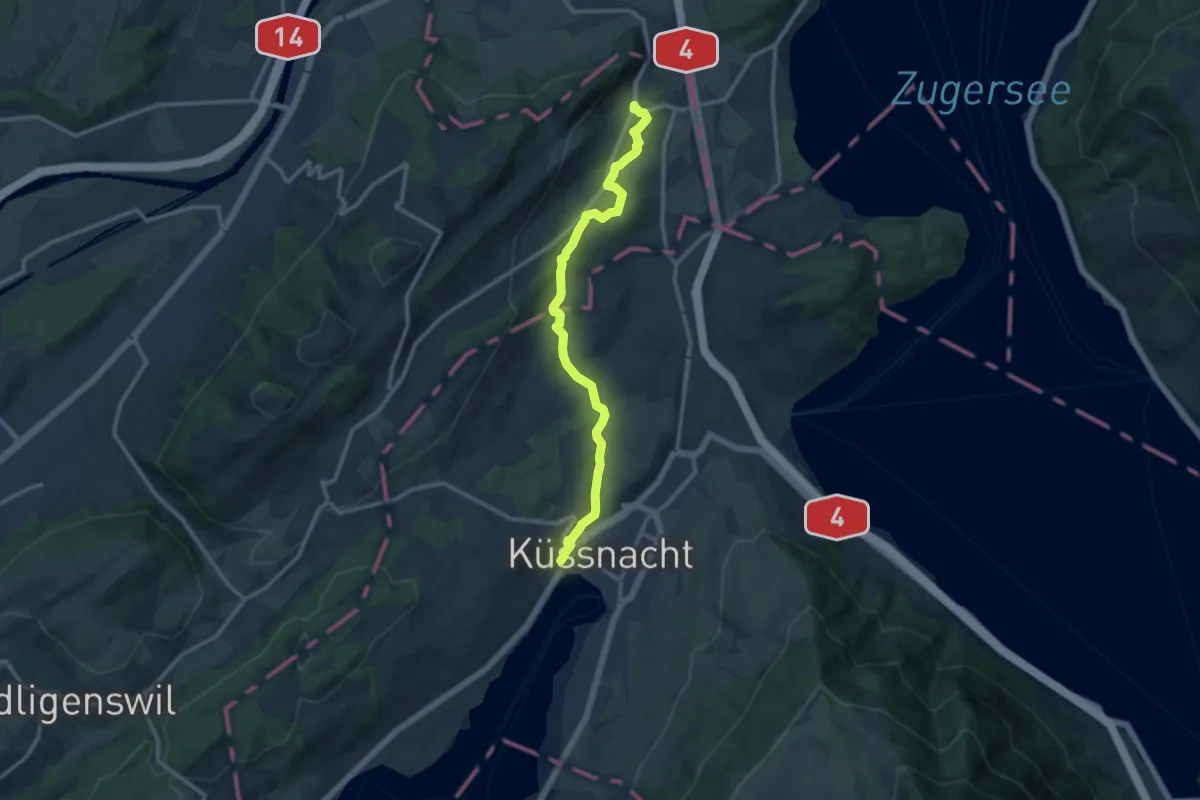
Medium · Trail
Meierskappel – Küssnacht
11.8 km · ↑ 199 m · 3 h 13 min · 15 km away
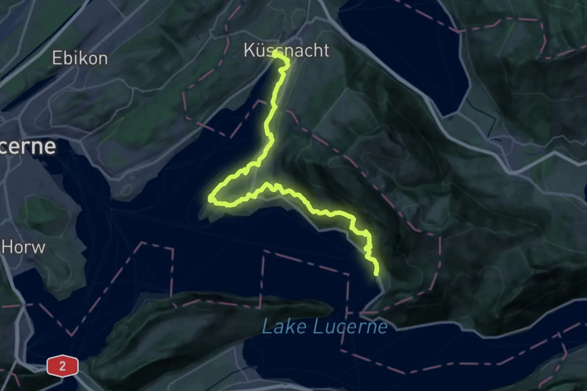
Demanding · Trail
Waldstätterweg - Etappe 2
18.4 km · ↑ 803 m · 6 h 21 min · 15 km away
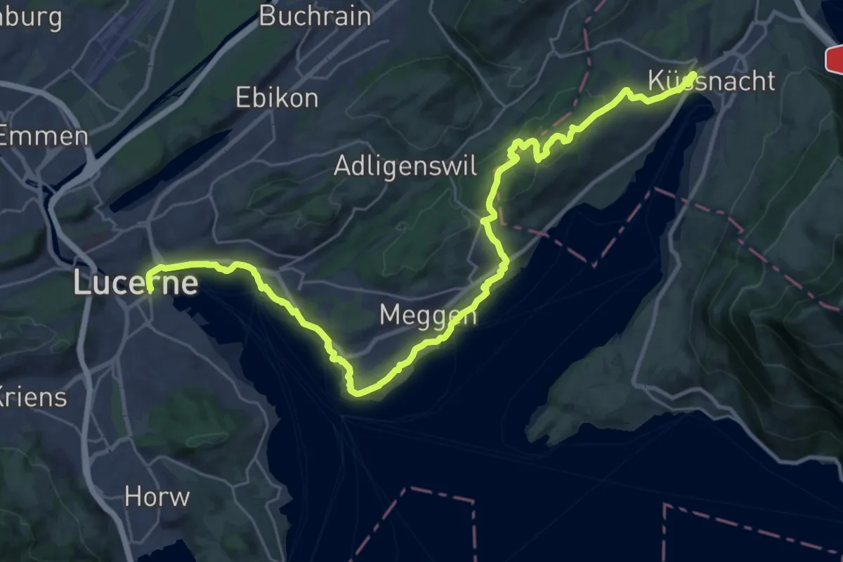
Medium · Trail
Waldstätterweg - Etappe 3
16.9 km · ↑ 334 m · 4 h 57 min · 15 km away
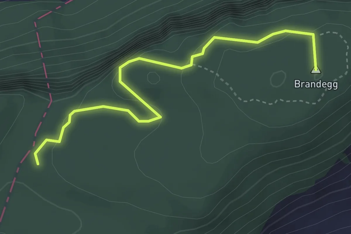
Medium · Summit
Plattenzug – Höch Flue
3.7 km · ↑ 351 m · 1 h 38 min · 15 km away
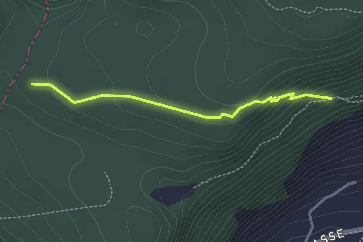
Easy · Trail
Plattenzug – Fällmätteli
2.1 km · ↑ 84 m · 41 min · 15 km away
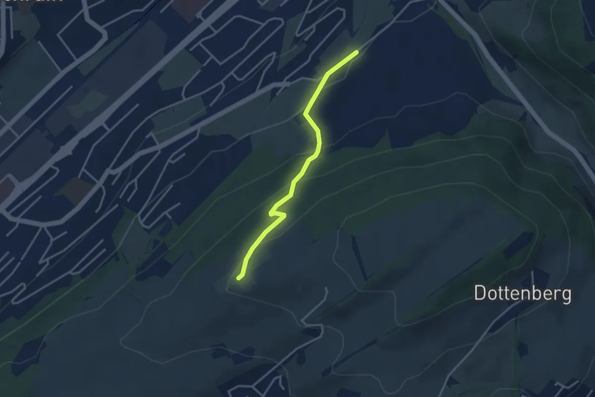
Easy · Trail
Ober Äbrüti – Spächten
2.9 km · ↑ 155 m · 1 h 1 min · 15 km away
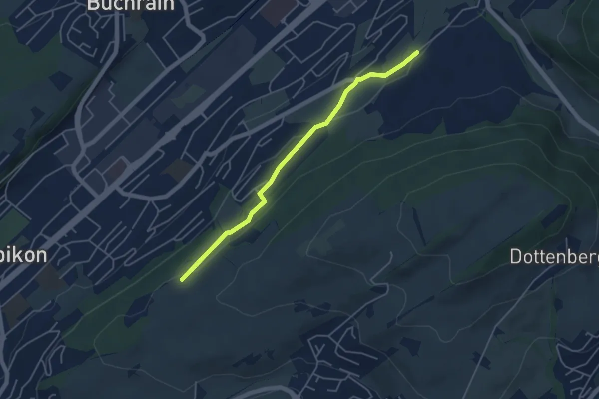
Easy · Trail
Spächte – Under Äbrüti
3.9 km · ↑ 92 m · 1 h 8 min · 15 km away
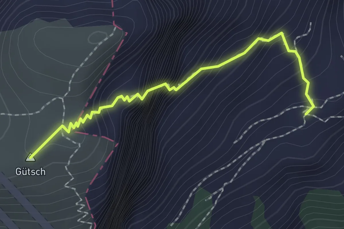
Expert · Summit
Lauweli - Niderbauen
1.9 km · ↑ 335 m · 1 h 11 min · 15 km away
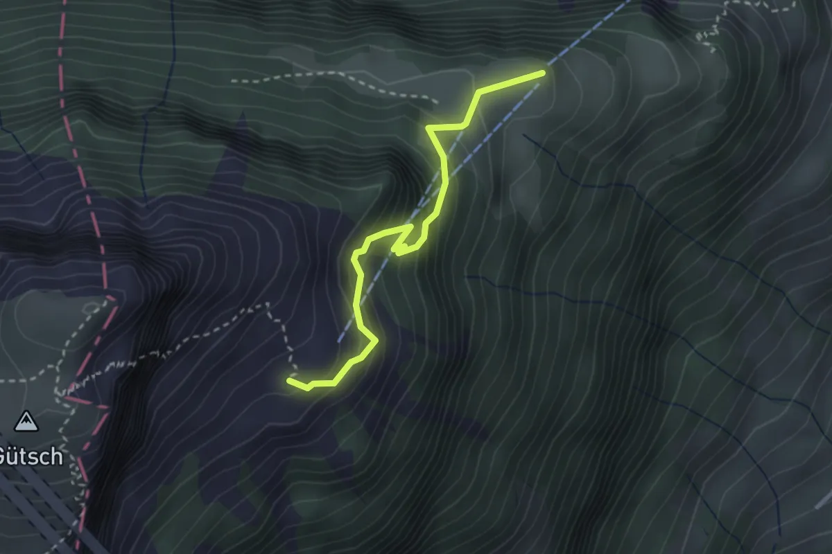
Medium · Trail
Weid - Lauweli
2.7 km · ↑ 338 m · 1 h 23 min · 15 km away
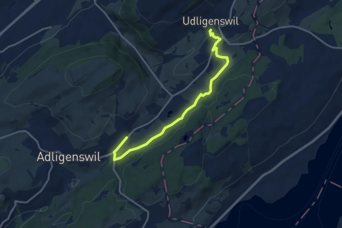
Medium · Trail
Udligenswil – Chli Äbnet
8.3 km · ↑ 125 m · 2 h 13 min · 15 km away
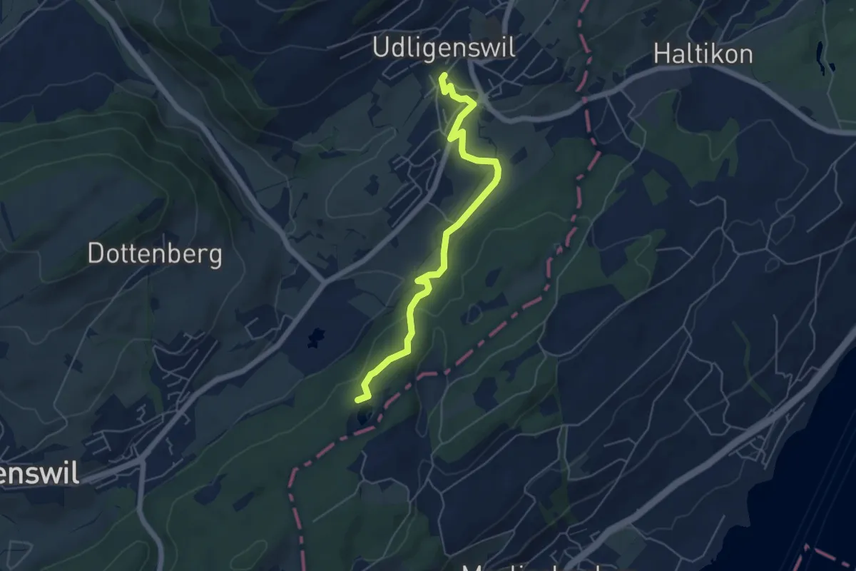
Easy · Trail
Udligenswil – Wagenmoos
5.3 km · ↑ 156 m · 1 h 36 min · 15 km away
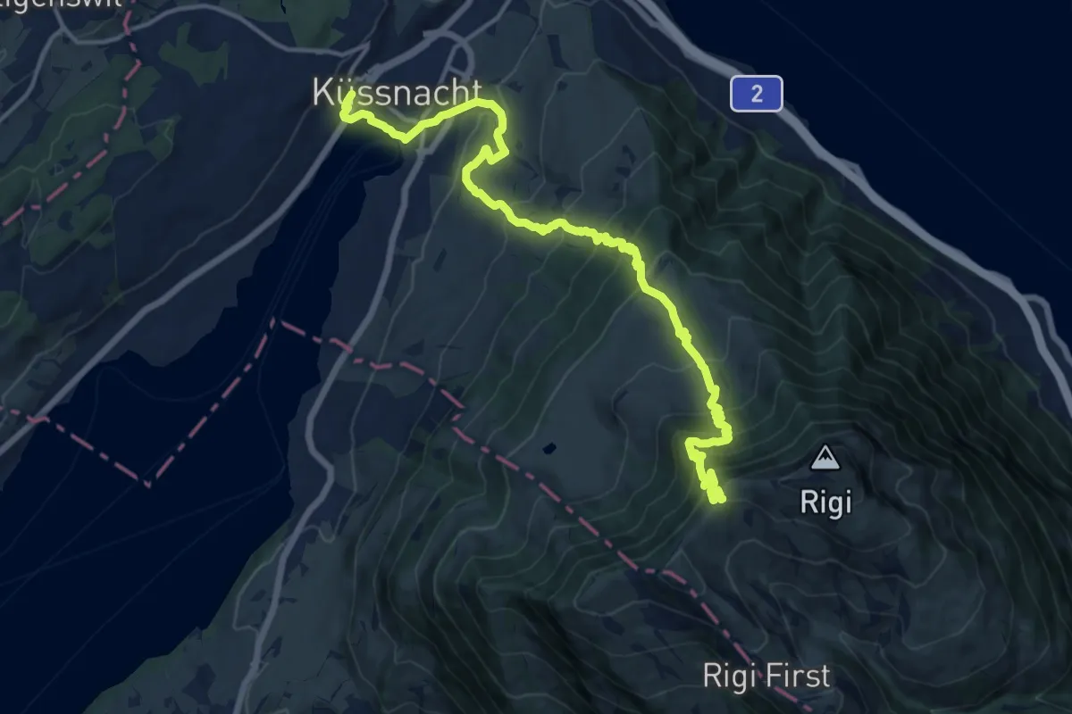
Demanding · Trail
Schwyzer Höhenweg - Etappe 1
16.7 km · ↑ 1217 m · 6 h 34 min · 15 km away