Trails near Steffisburg
412 hikes starting within 15 km, nearest first.
Nearest first, page 5 of 9
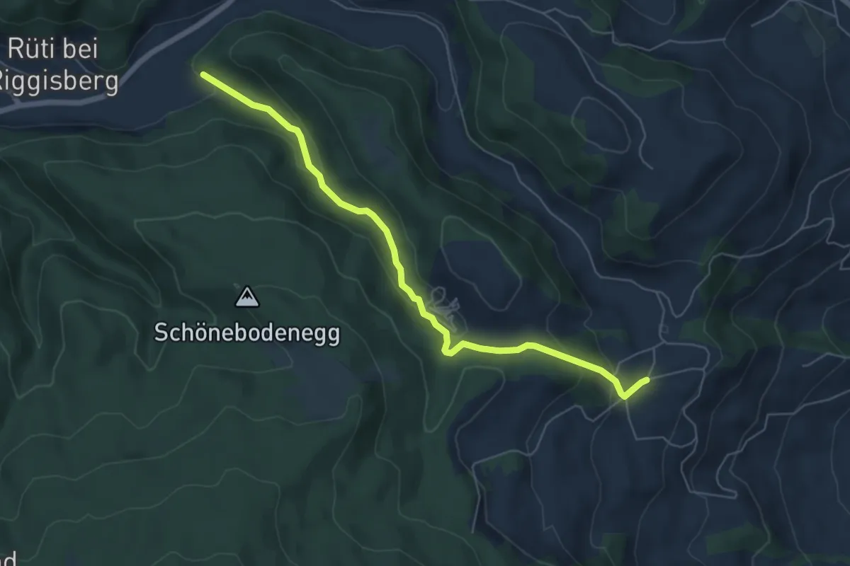
Easy · Trail
Grundbach – Geisshaus
6.0 km · ↑ 211 m · 1 h 52 min · 11 km away
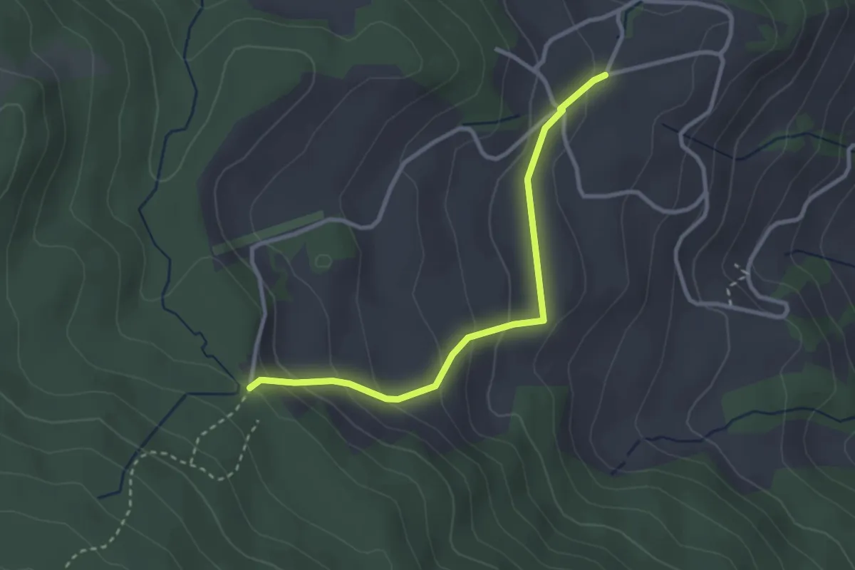
Easy · Trail
Stafelalp – Grundbach
2.9 km · ↑ 160 m · 1 h 1 min · 11 km away
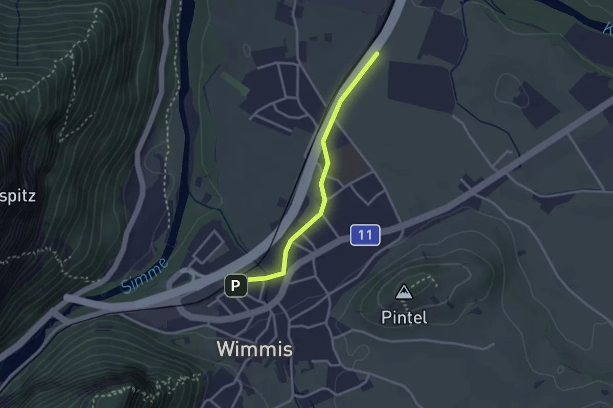
Easy · Trail
Wimmis – Eifeld
2.4 km · ↑ 13 m · 36 min · 11 km away
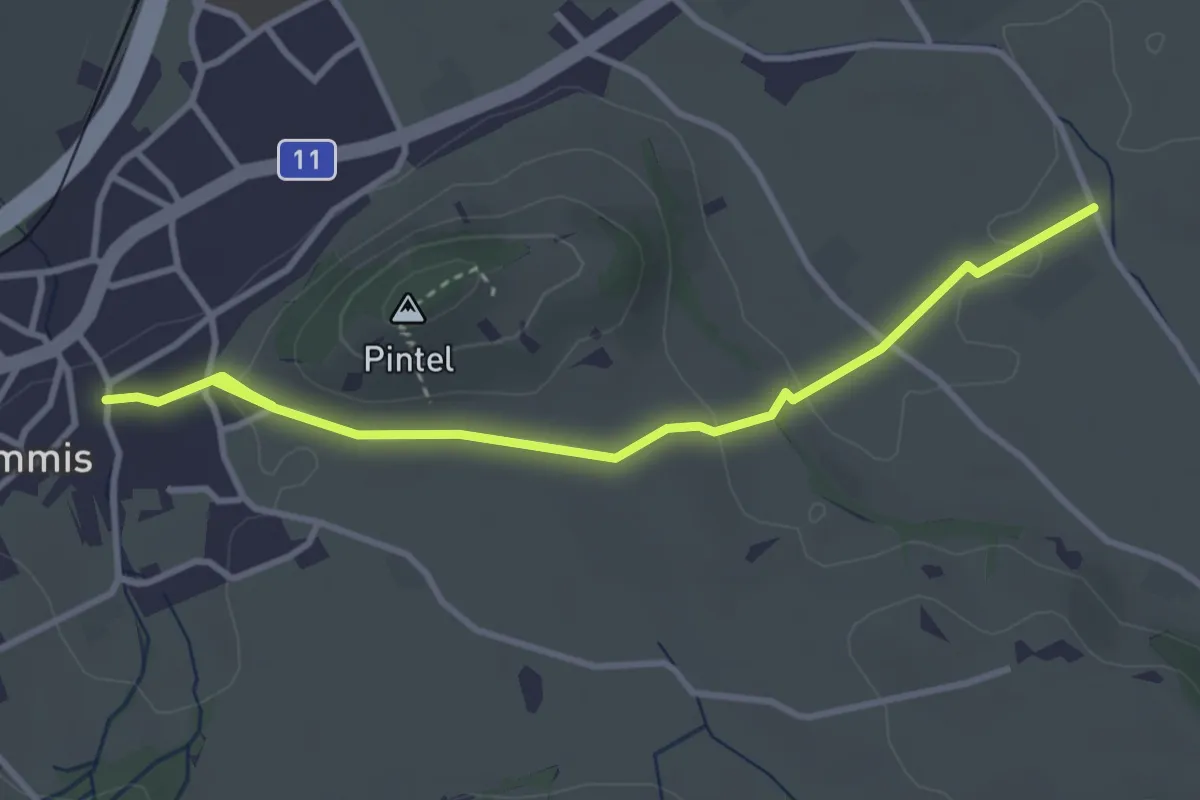
Easy · Trail
Wimmis – Rütene
3.8 km · ↑ 68 m · 1 h 2 min · 11 km away
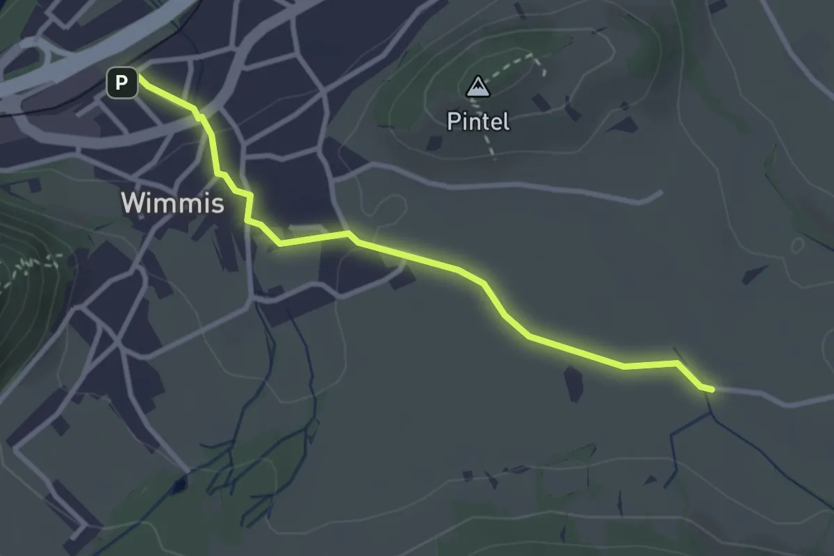
Easy · Trail
Hasli – Wimmis
2.9 km · ↑ 38 m · 46 min · 11 km away
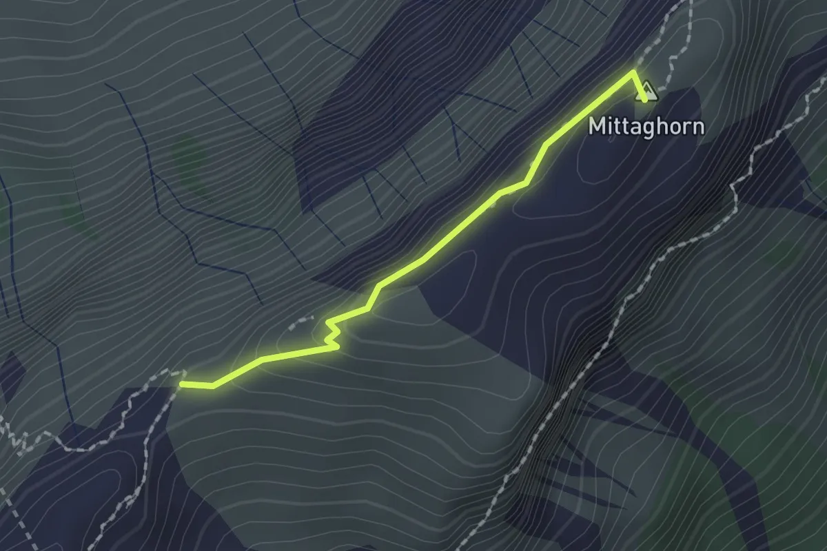
Demanding · Summit
Schneide – Stäpfli/Schafläger
1.5 km · ↑ 62 m · 29 min · 11 km away
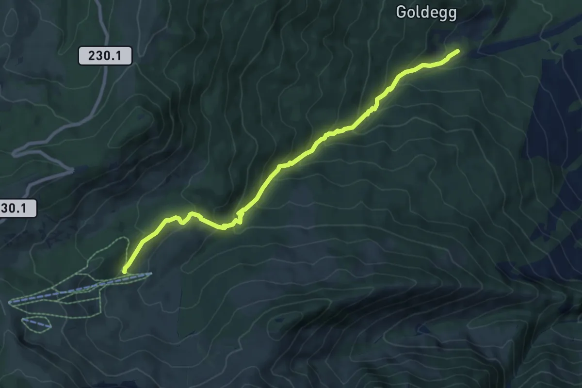
Medium · Trail
Weiermoos – Schwändli
7.7 km · ↑ 574 m · 3 h 4 min · 11 km away
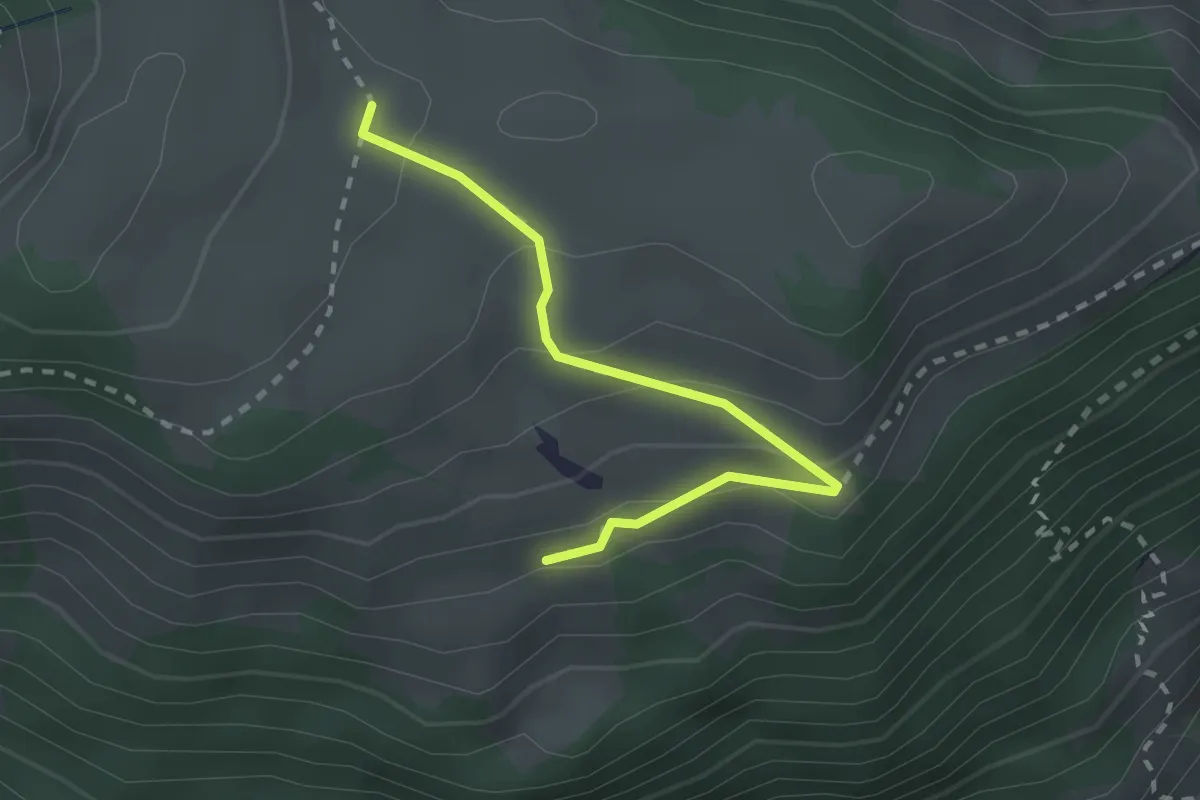
Easy · Trail
Unteres Heiti – Oberes Heiti
2.3 km · ↑ 126 m · 48 min · 11 km away
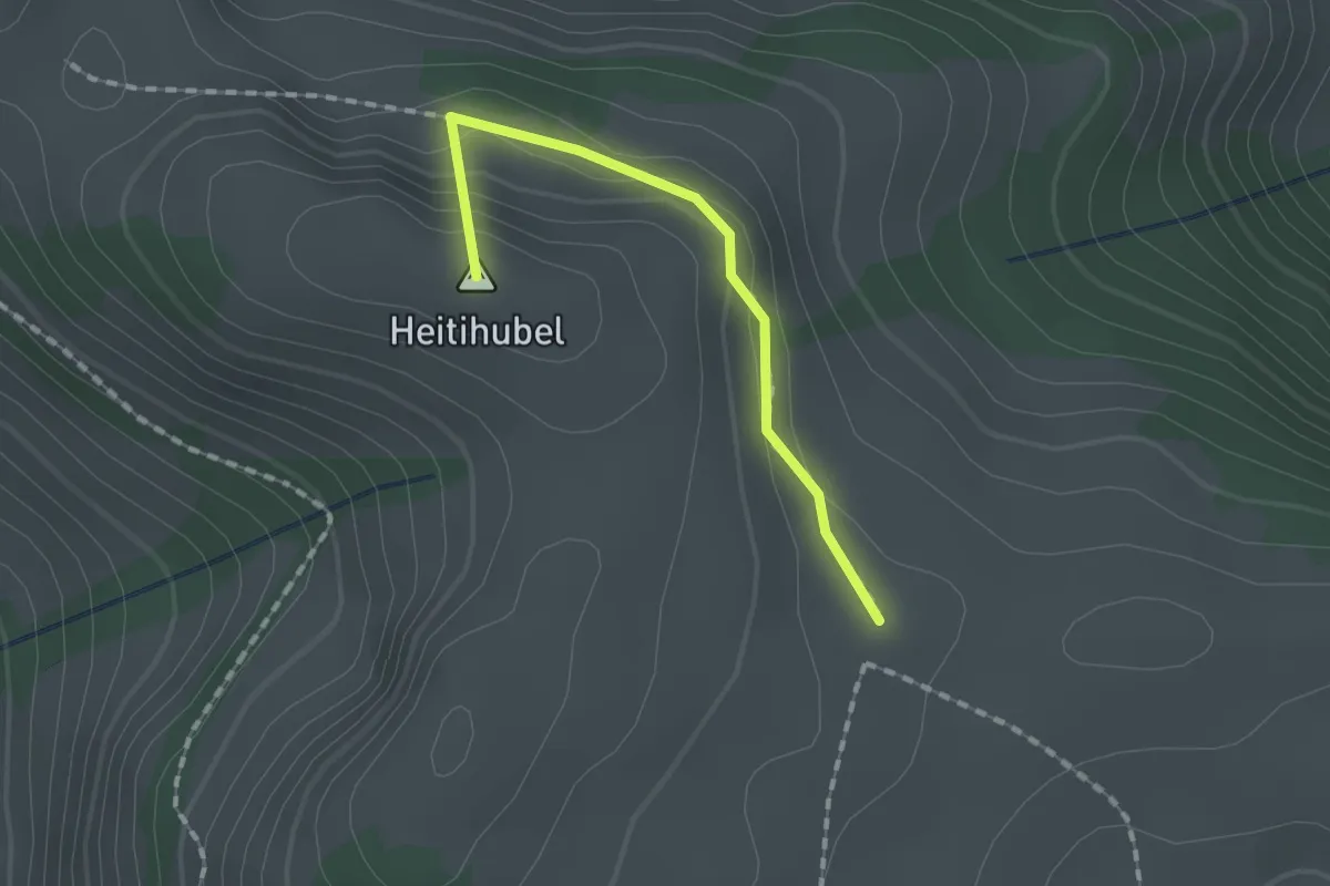
Medium · Summit
Matten – Oberes Heiti? / Günzenen? / Wimmis?
1.4 km · ↑ 63 m · 28 min · 11 km away
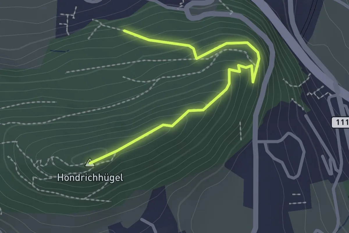
Easy · Summit
Hondrichwald – Hondrichhügel
2.5 km · ↑ 210 m · 1 h 2 min · 12 km away
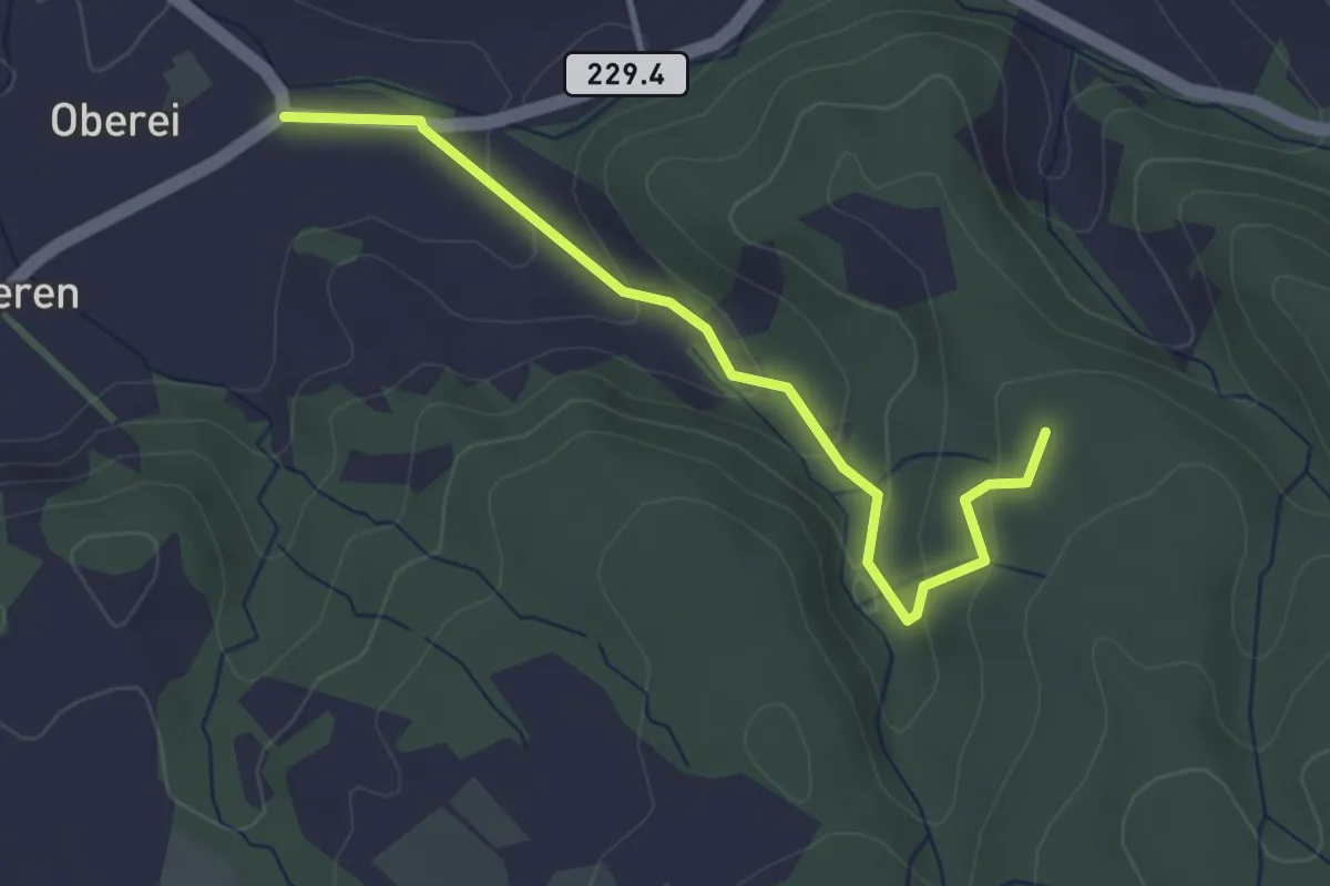
Easy · Trail
Oberei – Buechschachebode
3.4 km · ↑ 145 m · 1 h 7 min · 12 km away
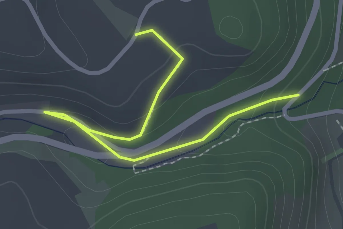
Easy · Trail
Abegg-Stiftung - Mülibach
2.2 km · ↑ 56 m · 38 min · 12 km away
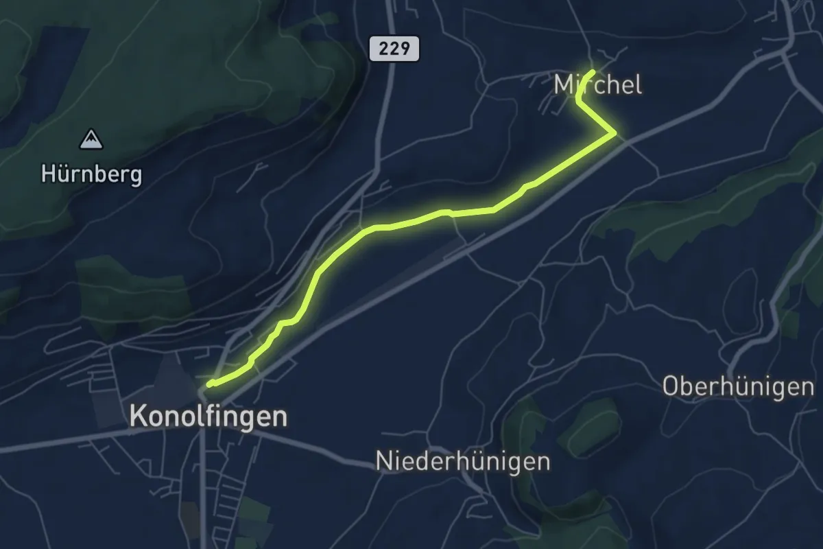
Easy · Trail
Mirchel – Konolfingen
6.2 km · ↑ 56 m · 1 h 35 min · 12 km away
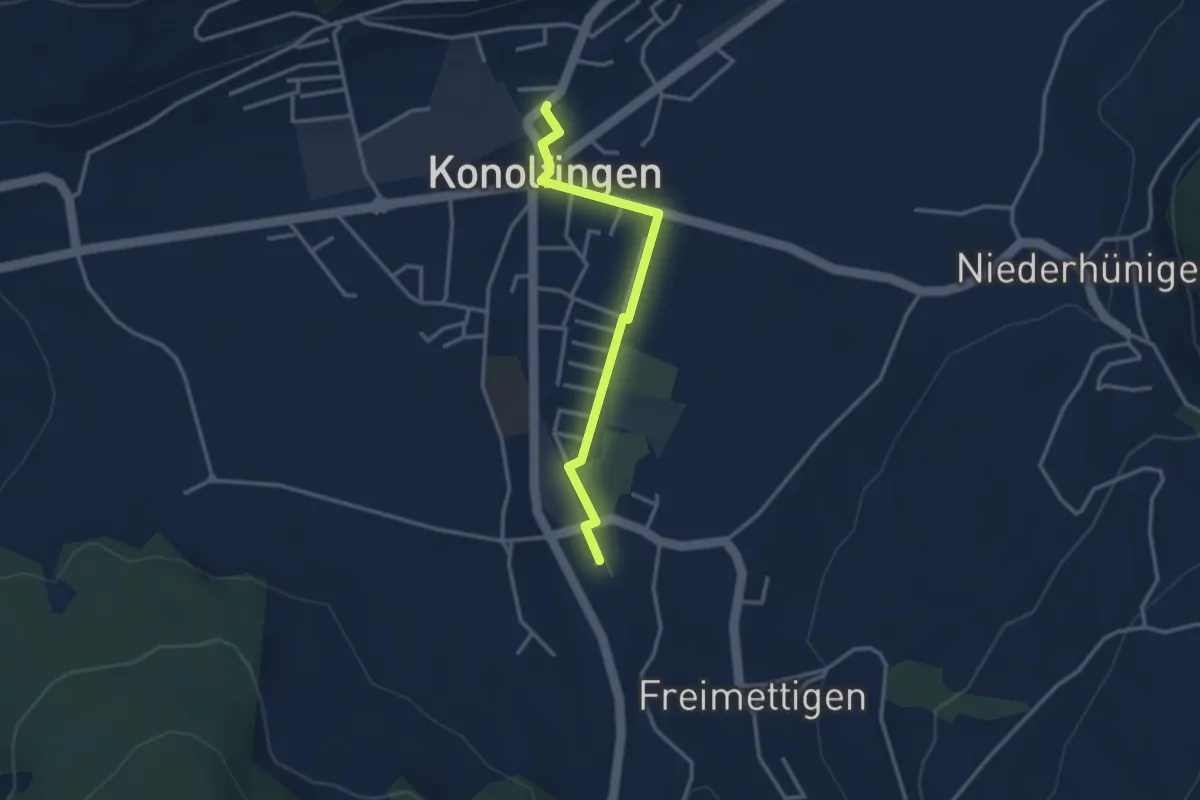
Easy · Trail
Stalden i. E. – Konolfingen
3.0 km · ↑ 9 m · 44 min · 12 km away
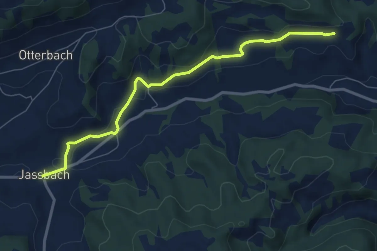
Easy · Trail
Jassbach – Vorderi Schindellegi
6.3 km · ↑ 132 m · 1 h 46 min · 12 km away
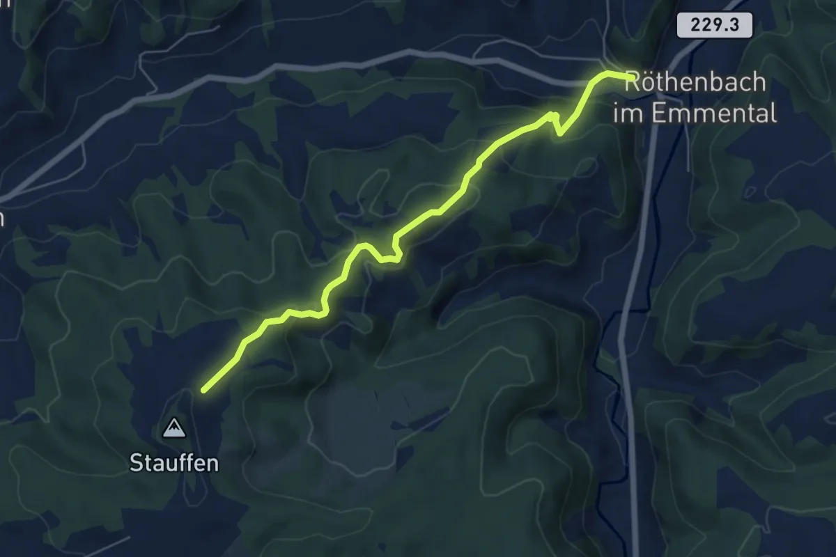
Medium · Trail
Röthenbach – Hinter Stauffen
5.8 km · ↑ 377 m · 2 h 11 min · 12 km away
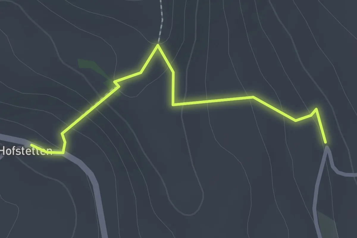
Easy · Trail
Hostete - Simmlere
2.1 km · ↑ 121 m · 45 min · 12 km away
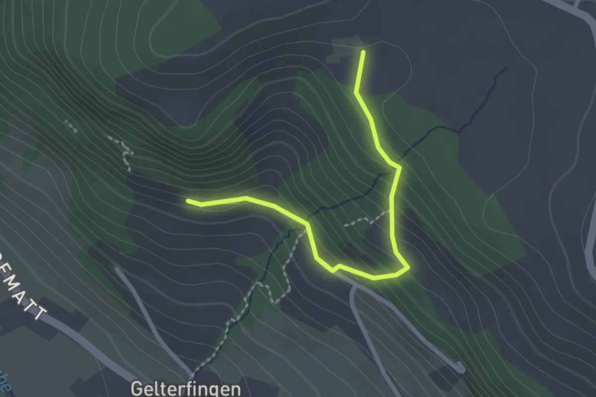
Easy · Trail
Chramburg - Schlatt
2.1 km · ↑ 133 m · 47 min · 12 km away
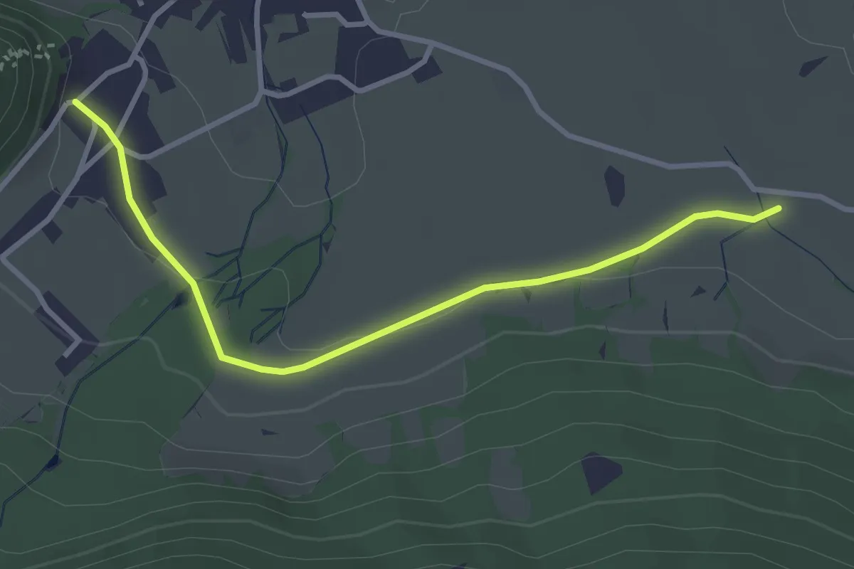
Easy · Trail
Oberdorf – Hasli
3.2 km · ↑ 51 m · 52 min · 12 km away
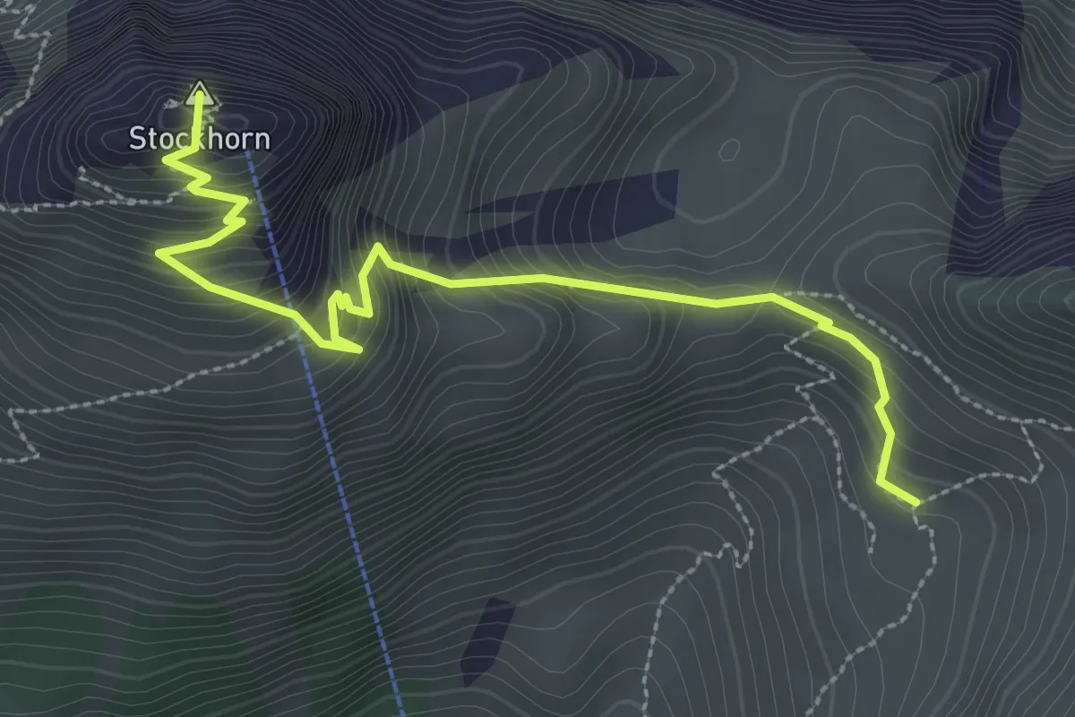
Medium · Summit
Stockhorn – Oberbärgli
3.3 km · ↑ 376 m · 1 h 36 min · 12 km away
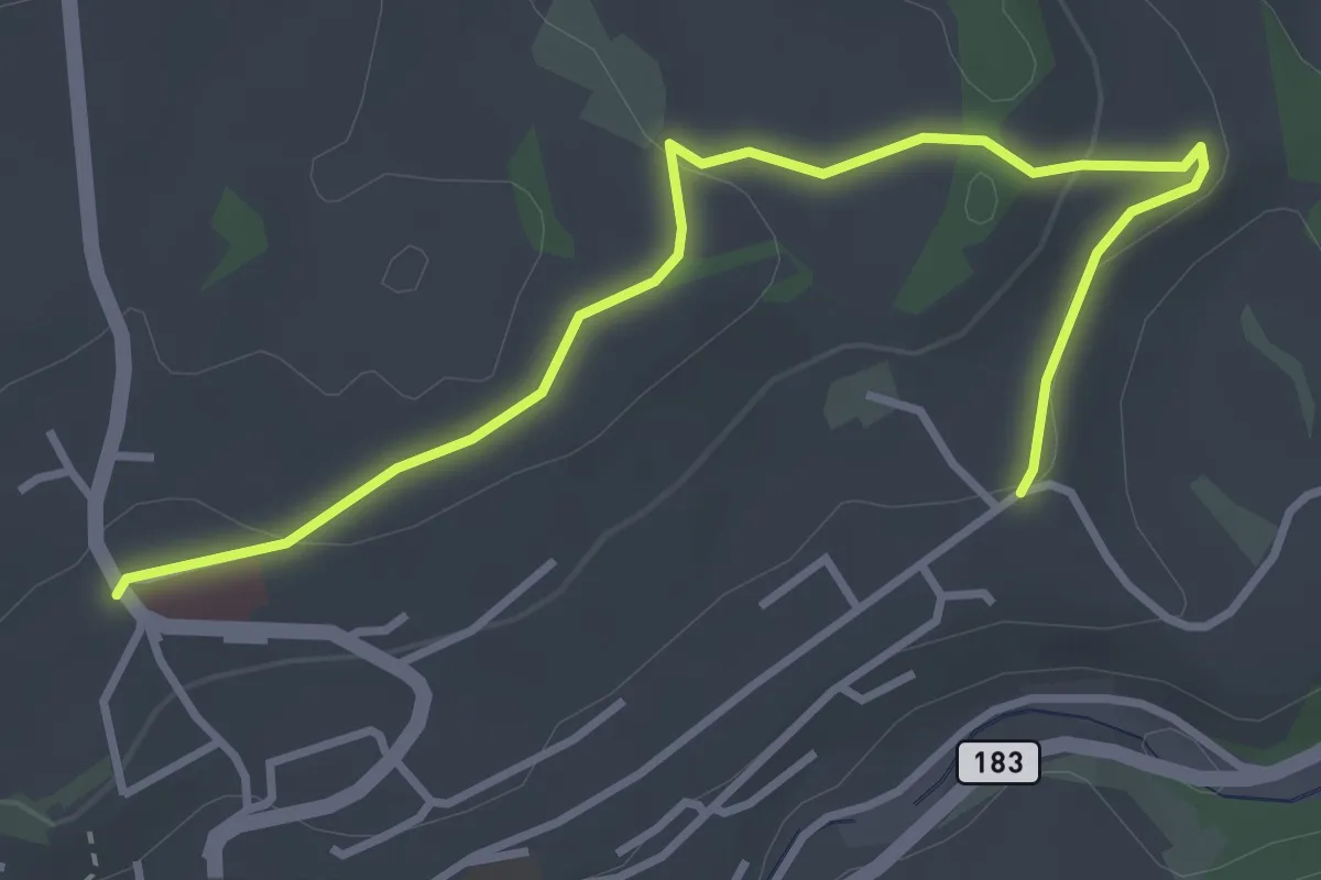
Easy · Trail
Riggisberg / Staudengasse – Eybrunnen
3.9 km · ↑ 112 m · 1 h 10 min · 12 km away
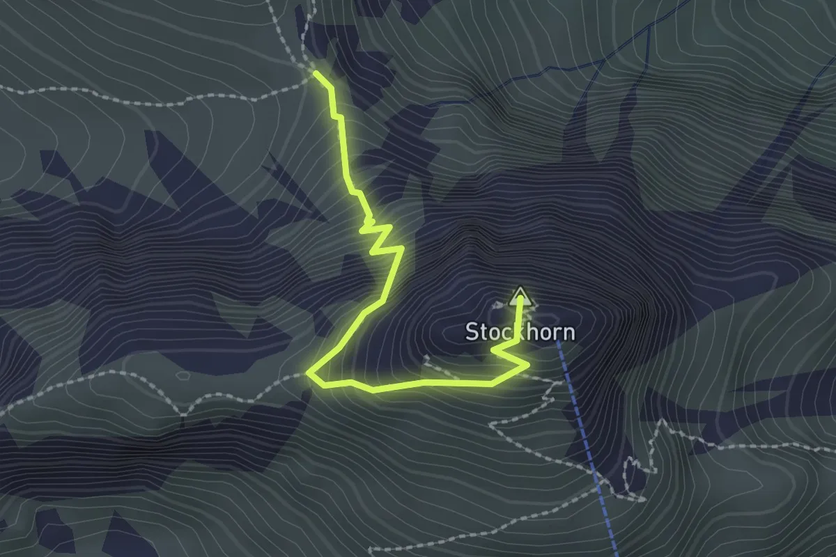
Demanding · Summit
Stockhorn – Bacchegg
2.2 km · ↑ 381 m · 1 h 20 min · 12 km away
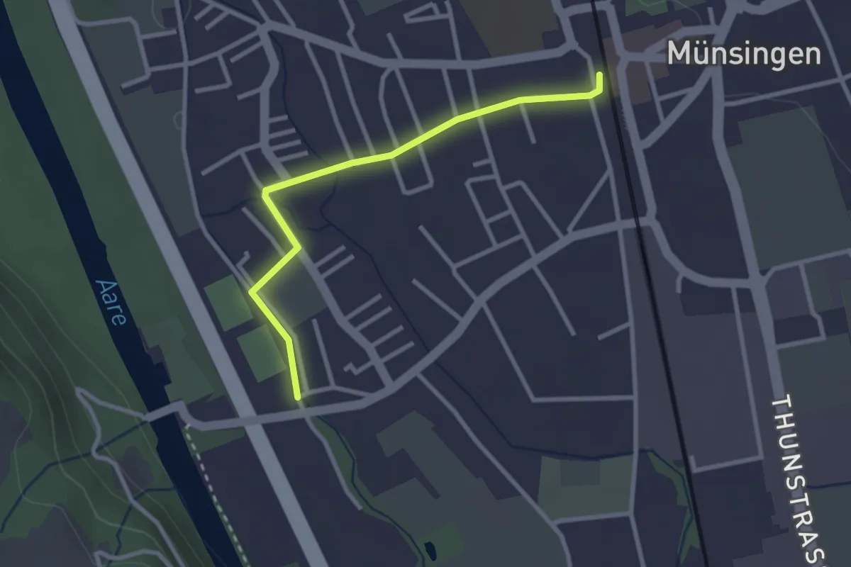
Easy · Trail
Aeussere Giesse - Münsingen/Bahnhof
2.7 km · ↑ 4 m · 39 min · 12 km away
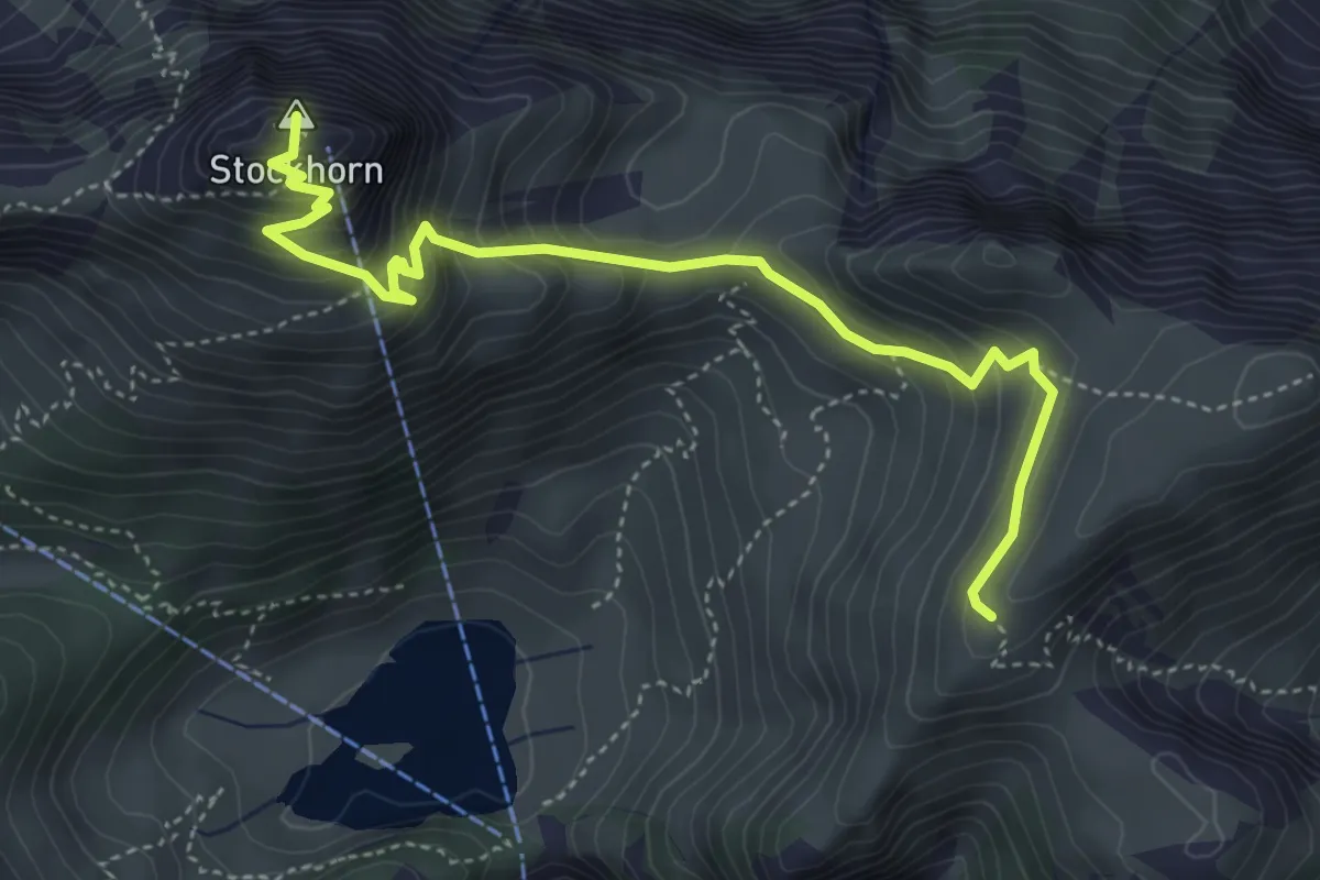
Medium · Summit
Furgge – Stockhorn
4.8 km · ↑ 475 m · 2 h 9 min · 12 km away
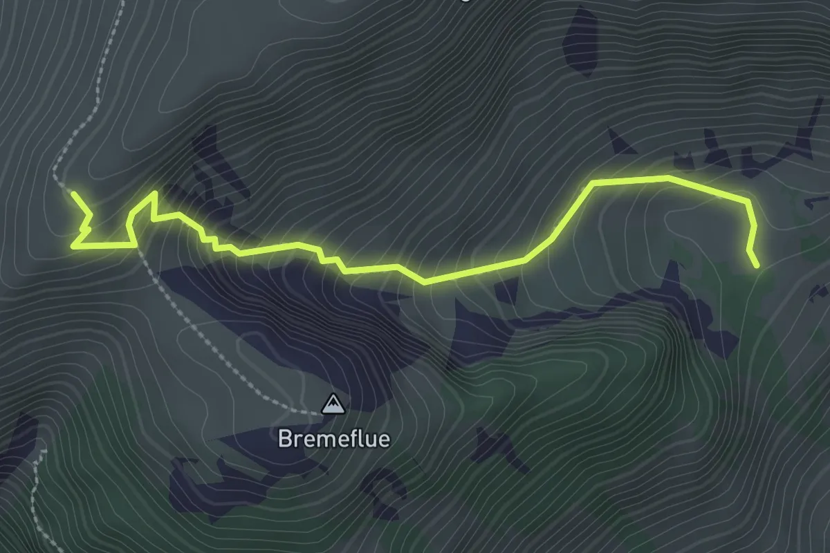
Medium · Trail
Steinig Nacki – Furgge
2.9 km · ↑ 378 m · 1 h 31 min · 12 km away
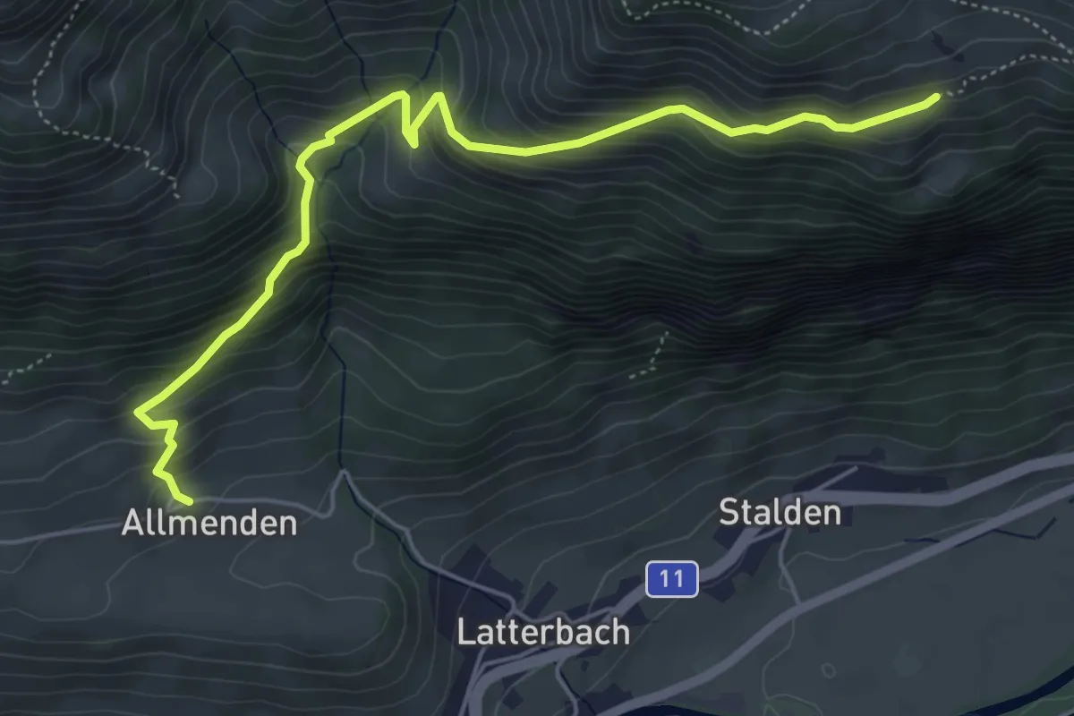
Medium · Trail
Allmenden – Unters Heiti
5.7 km · ↑ 573 m · 2 h 36 min · 12 km away
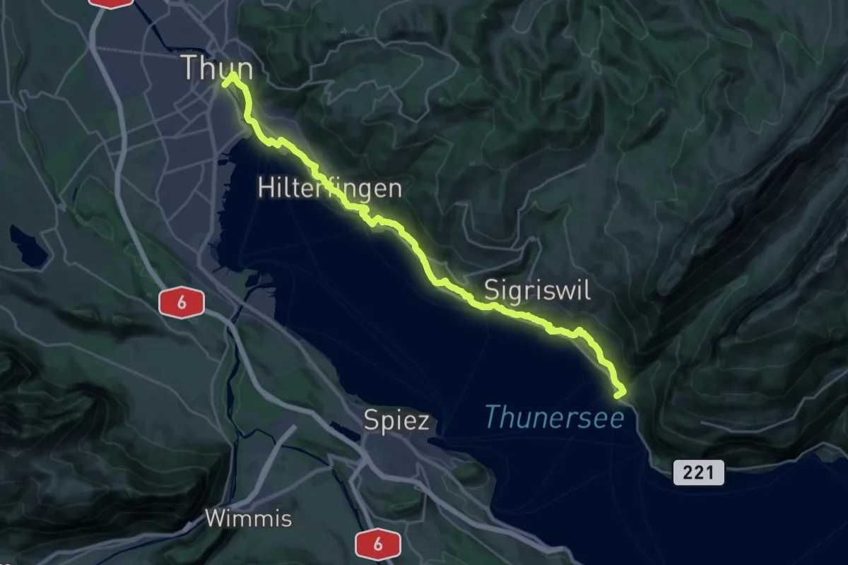
Medium · Trail
Thun - Merligen
13.3 km · ↑ 502 m · 4 h 25 min · 12 km away
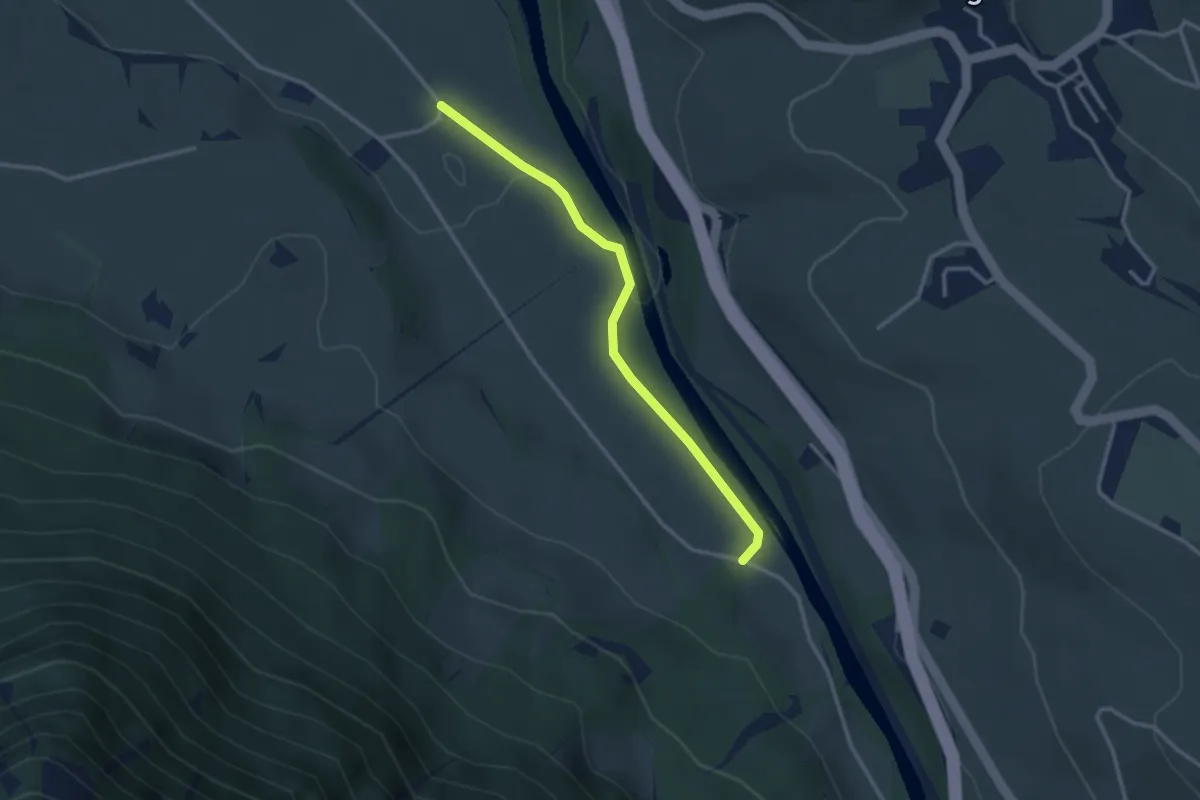
Easy · Trail
Rossweid – Bodenweid
2.9 km · ↑ 17 m · 43 min · 12 km away
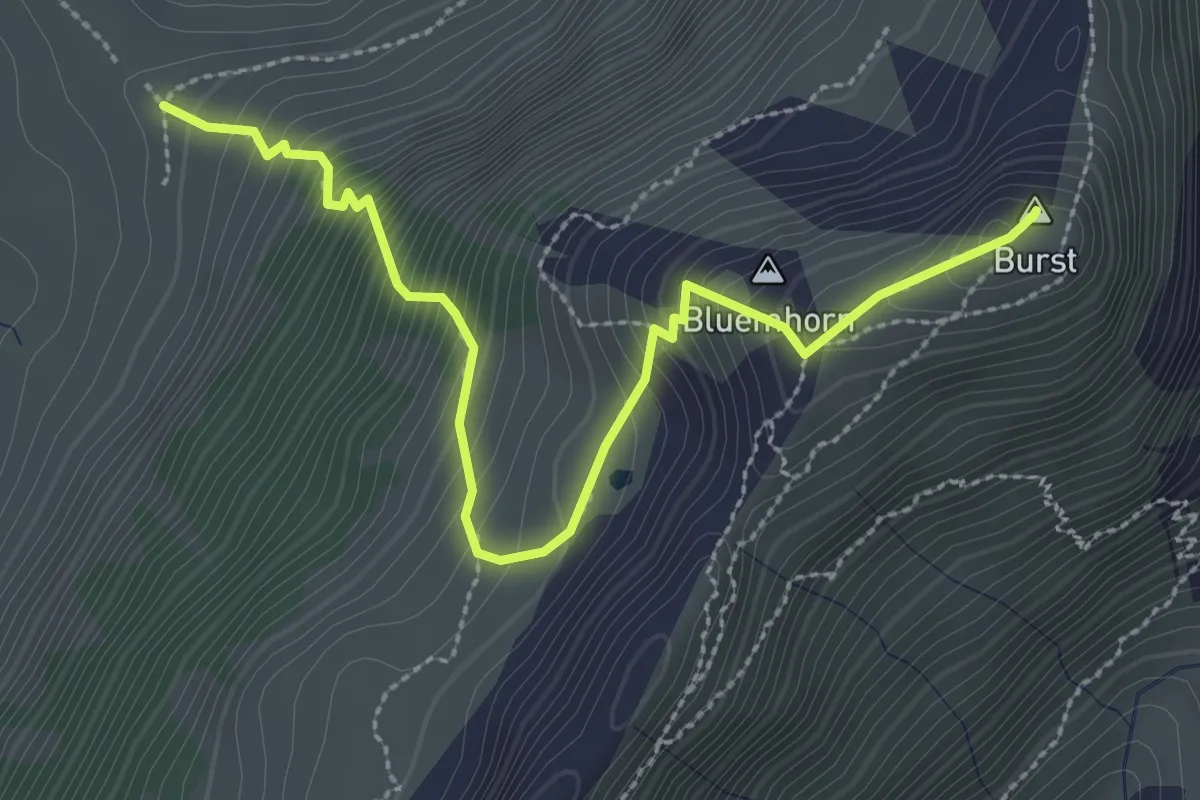
Demanding · Summit
Burst - fixme
3.2 km · ↑ 450 m · 1 h 44 min · 12 km away
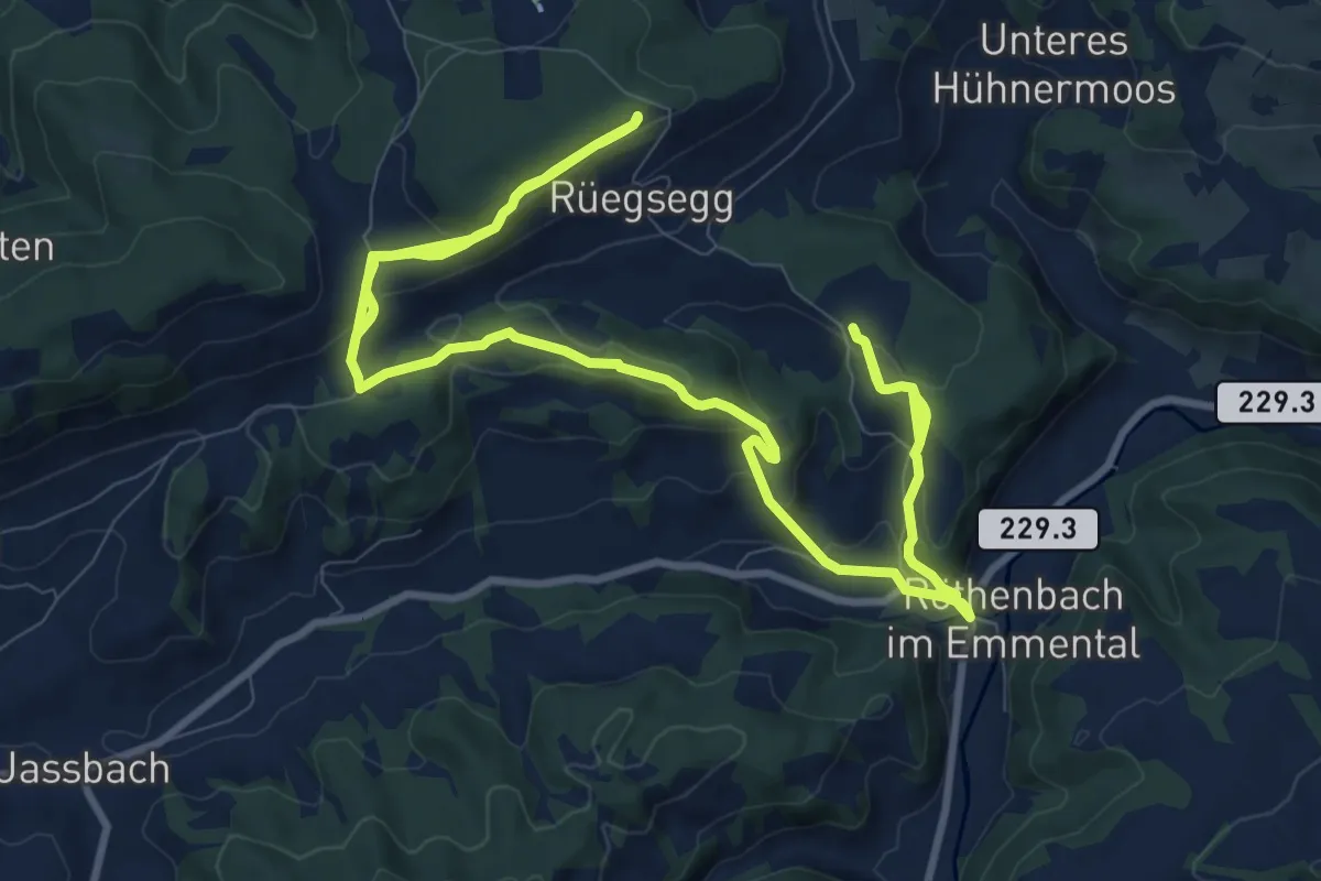
Demanding · Trail
Röthenbach
18.4 km · ↑ 652 m · 5 h 45 min · 12 km away
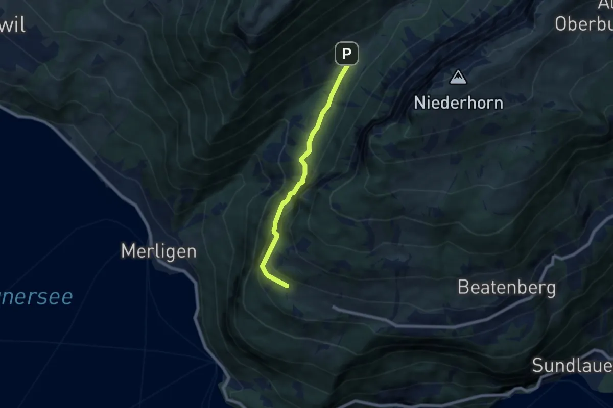
Medium · Trail
Waldbrand – Justistal/Grön
5.4 km · ↑ 337 m · 2 h 1 min · 12 km away
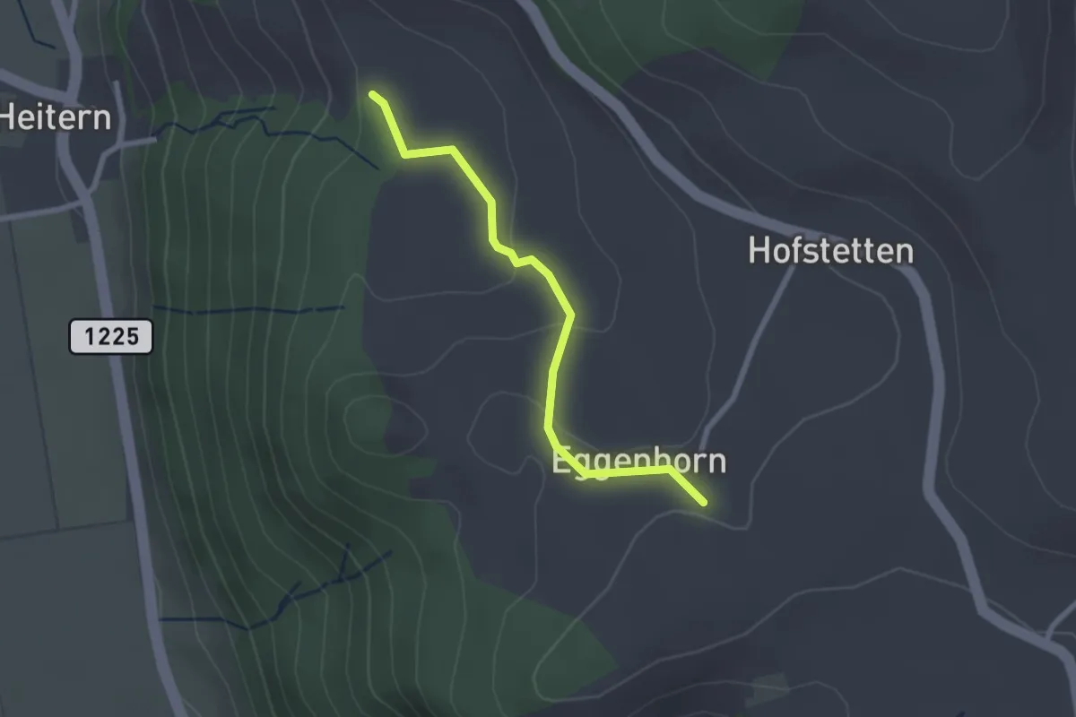
Easy · Trail
Schlatt - Chieffere
2.3 km · ↑ 73 m · 41 min · 12 km away
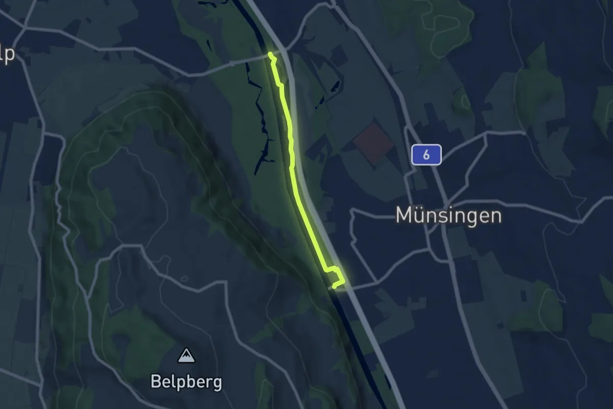
Easy · Trail
Hunzigenbrügg – Jabergbrücke
5.7 km · ↑ 18 m · 1 h 24 min · 12 km away
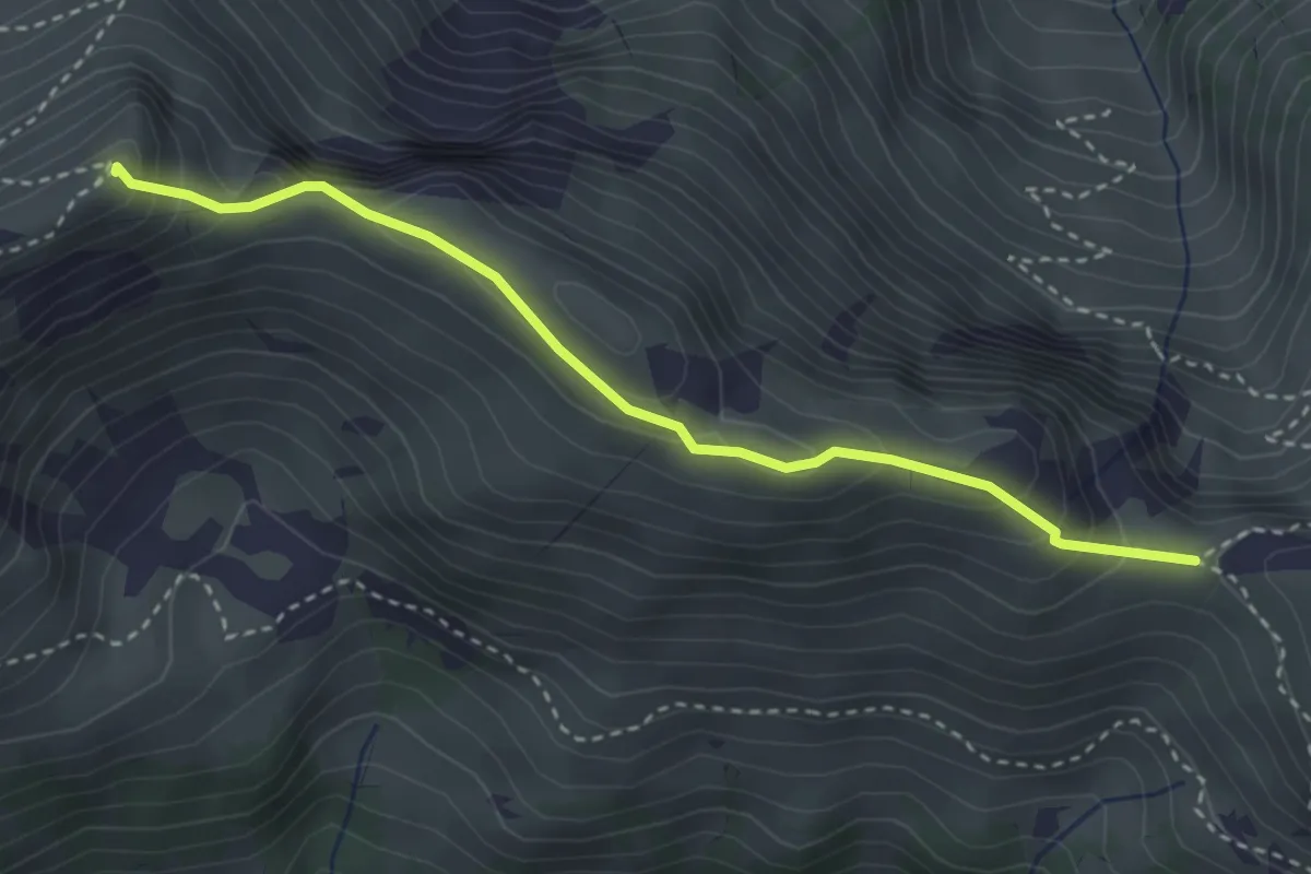
Medium · Summit
Walalpgrat – Möntschelespitz
3.3 km · ↑ 225 m · 1 h 16 min · 12 km away
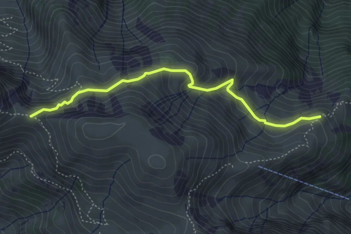
Medium · Trail
Vorderälpital – Walalpgrat
4.4 km · ↑ 287 m · 1 h 39 min · 12 km away
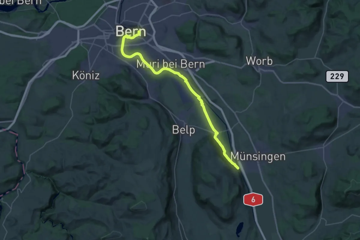
Demanding · Trail
ViaBerna Etappe 9
30.2 km · ↑ 349 m · 7 h 54 min · 12 km away
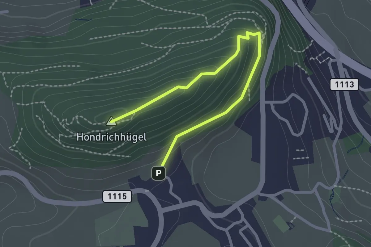
Easy · Summit
Hondrichhügel – Hondrich
2.5 km · ↑ 138 m · 53 min · 12 km away
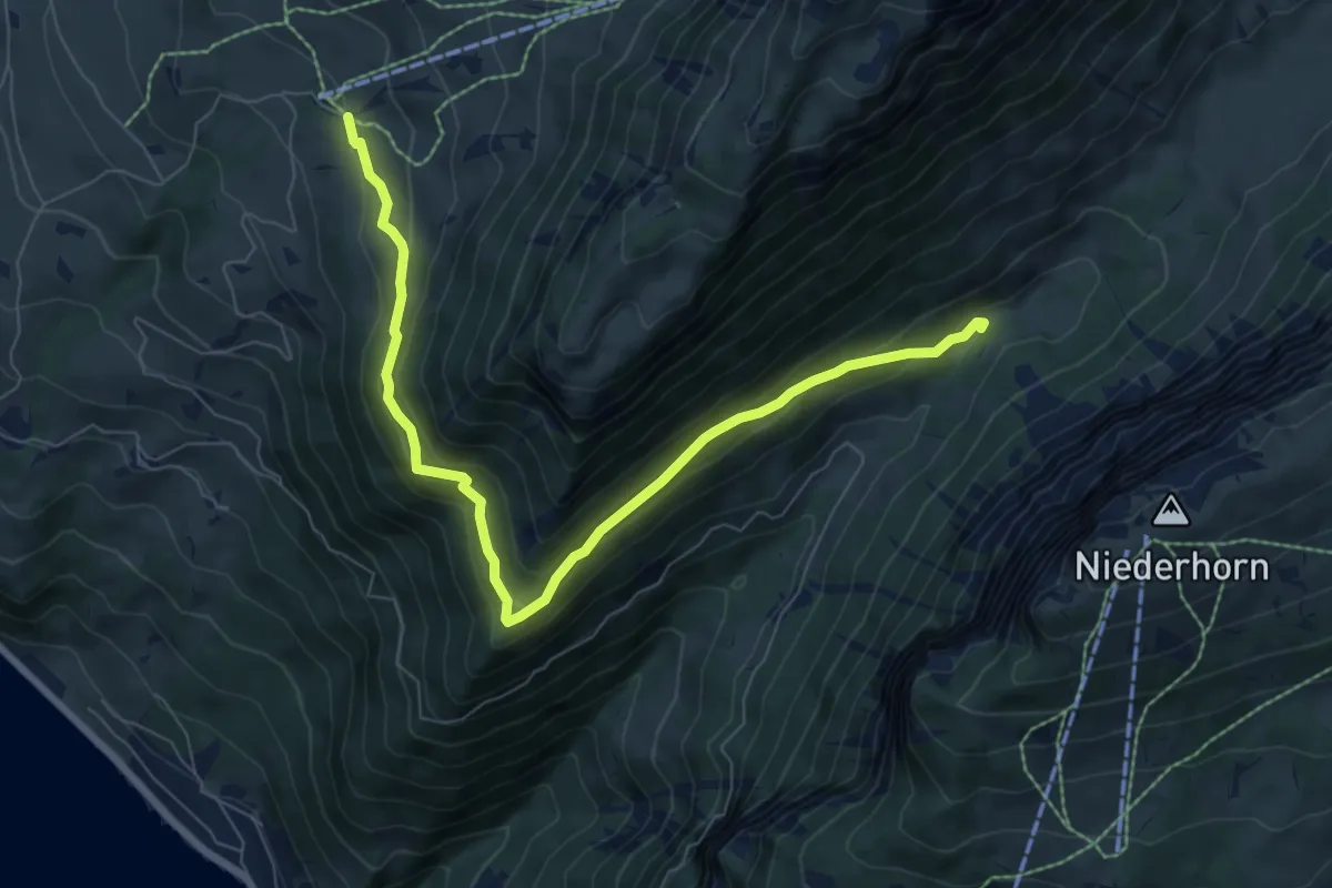
Medium · Trail
Justistal – Wilerallmi
8.1 km · ↑ 405 m · 2 h 48 min · 12 km away
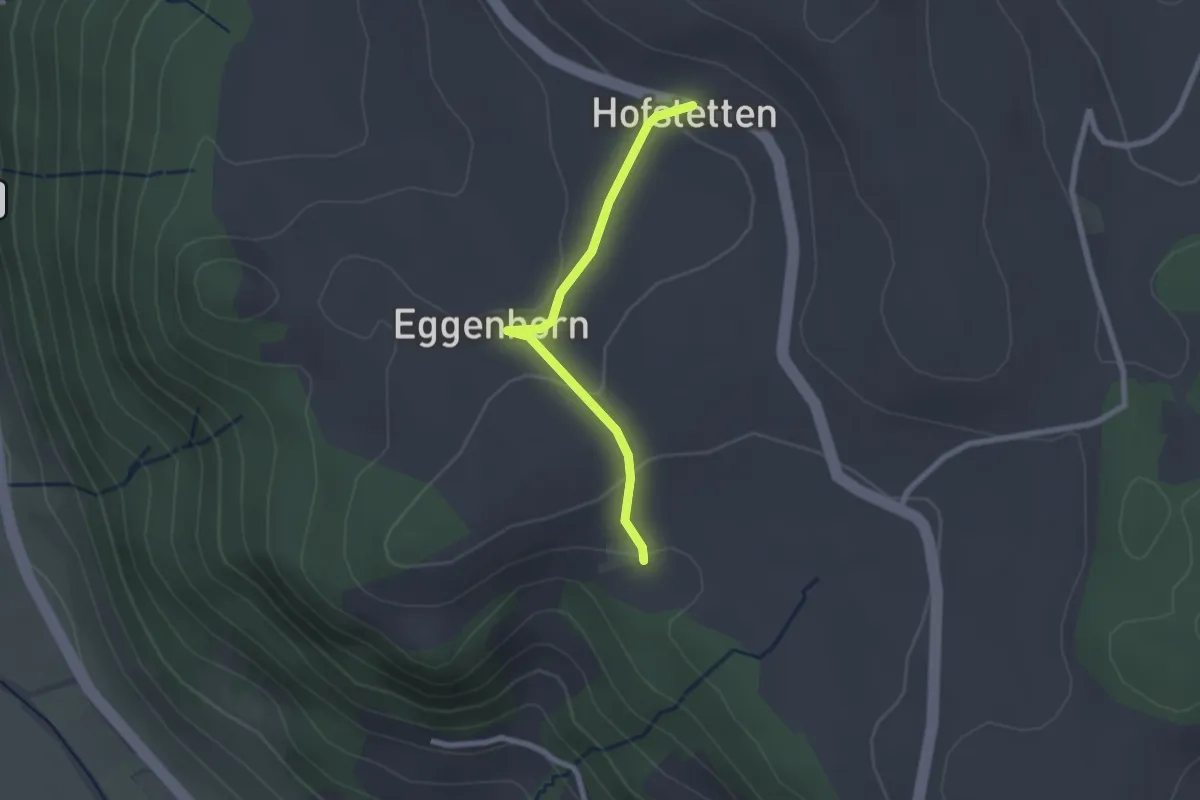
Easy · Trail
Schlatt - Hostete
2.1 km · ↑ 67 m · 38 min · 12 km away
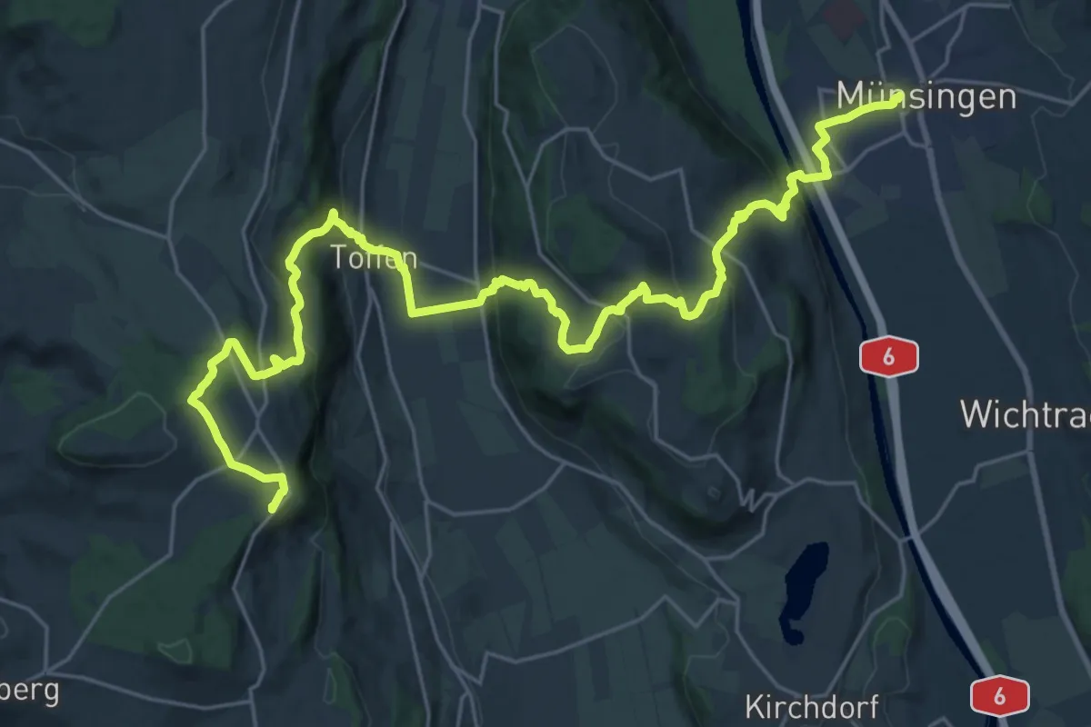
Demanding · Summit
Alpenpanorama-Weg
30.3 km · ↑ 1232 m · 9 h 50 min · 12 km away
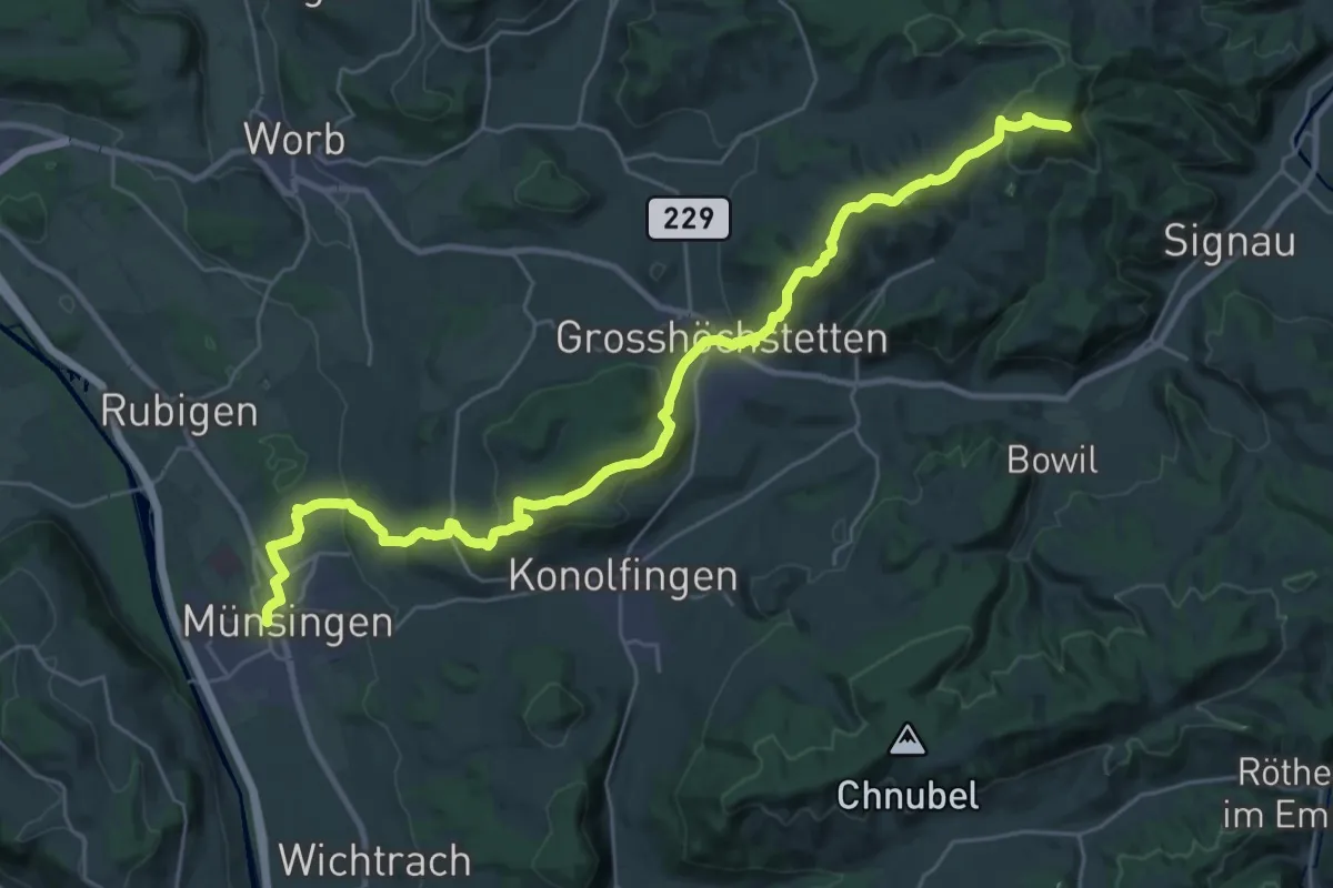
Demanding · Summit
Alpenpanorama-Weg
33.3 km · ↑ 1120 m · 10 h 17 min · 12 km away
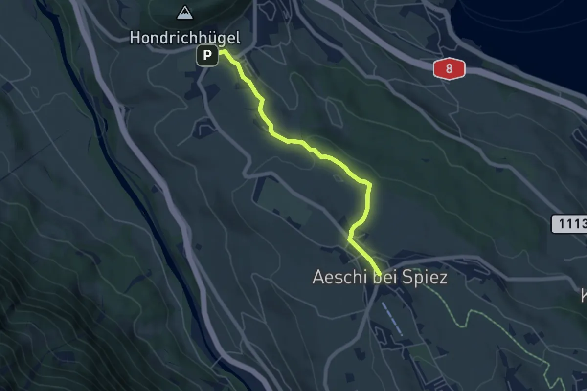
Easy · Trail
Hondrich – Aeschi
4.8 km · ↑ 118 m · 1 h 23 min · 12 km away
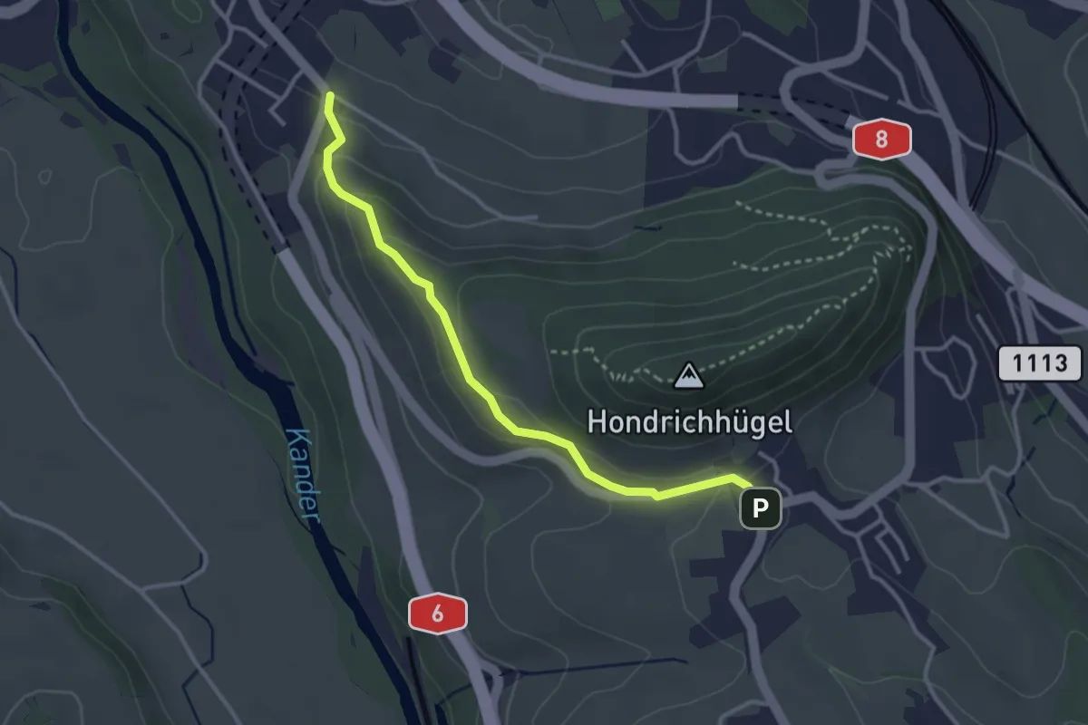
Easy · Trail
Hondrich – Spiezwiler
3.2 km · ↑ 101 m · 58 min · 12 km away
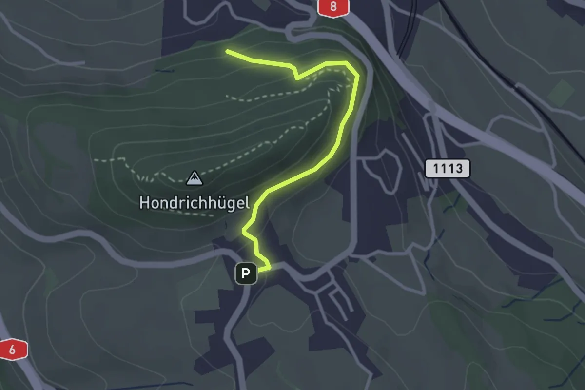
Easy · Trail
Hondrichwald – Hondrich
2.6 km · ↑ 195 m · 1 h 3 min · 12 km away
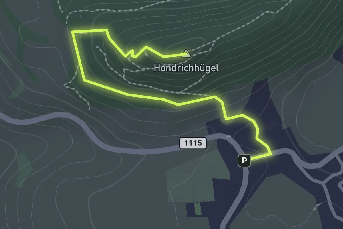
Easy · Summit
Hondrich – Hondrichhügel
2.5 km · ↑ 124 m · 51 min · 12 km away
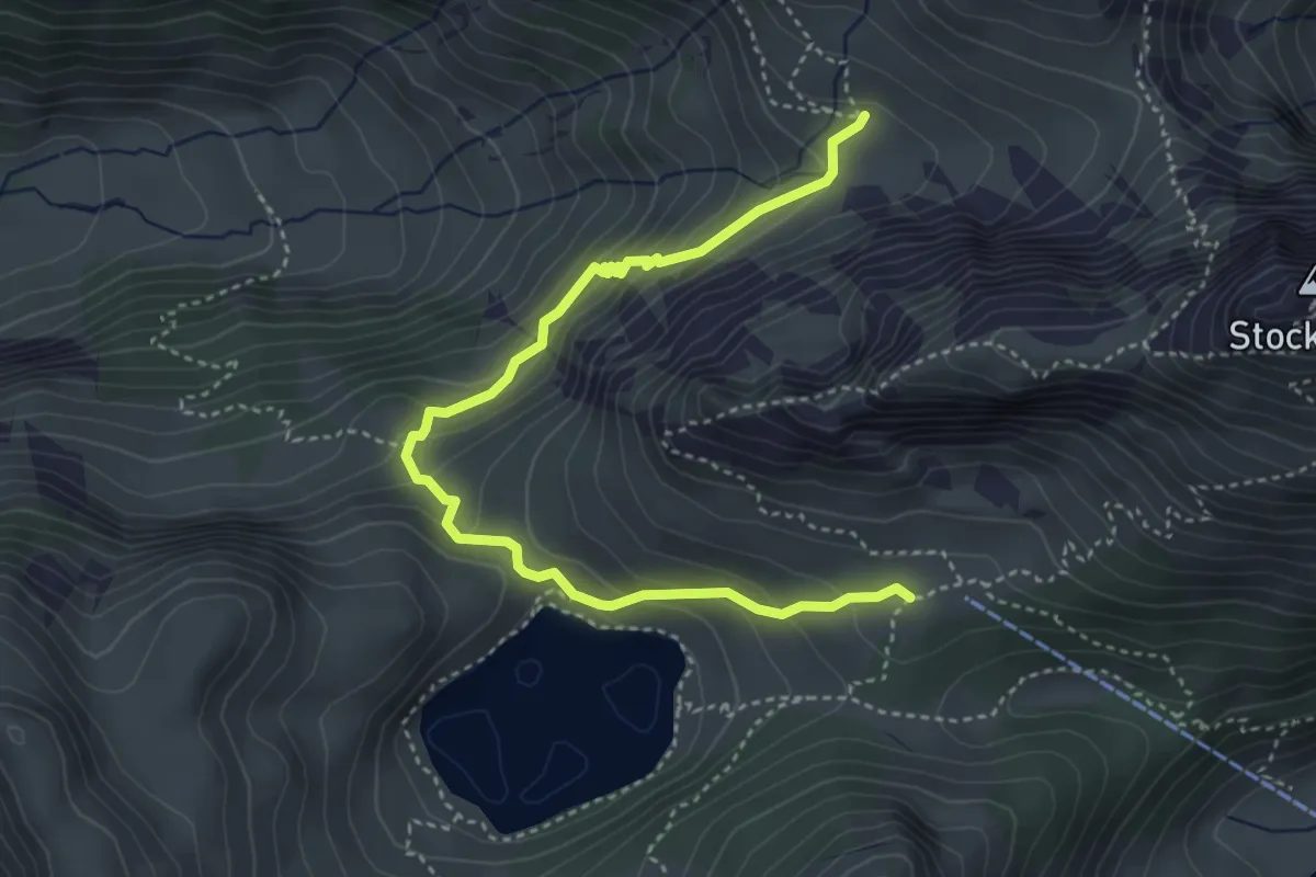
Demanding · Trail
Obere Walalp – Oberstockenalp
4.5 km · ↑ 337 m · 1 h 47 min · 12 km away
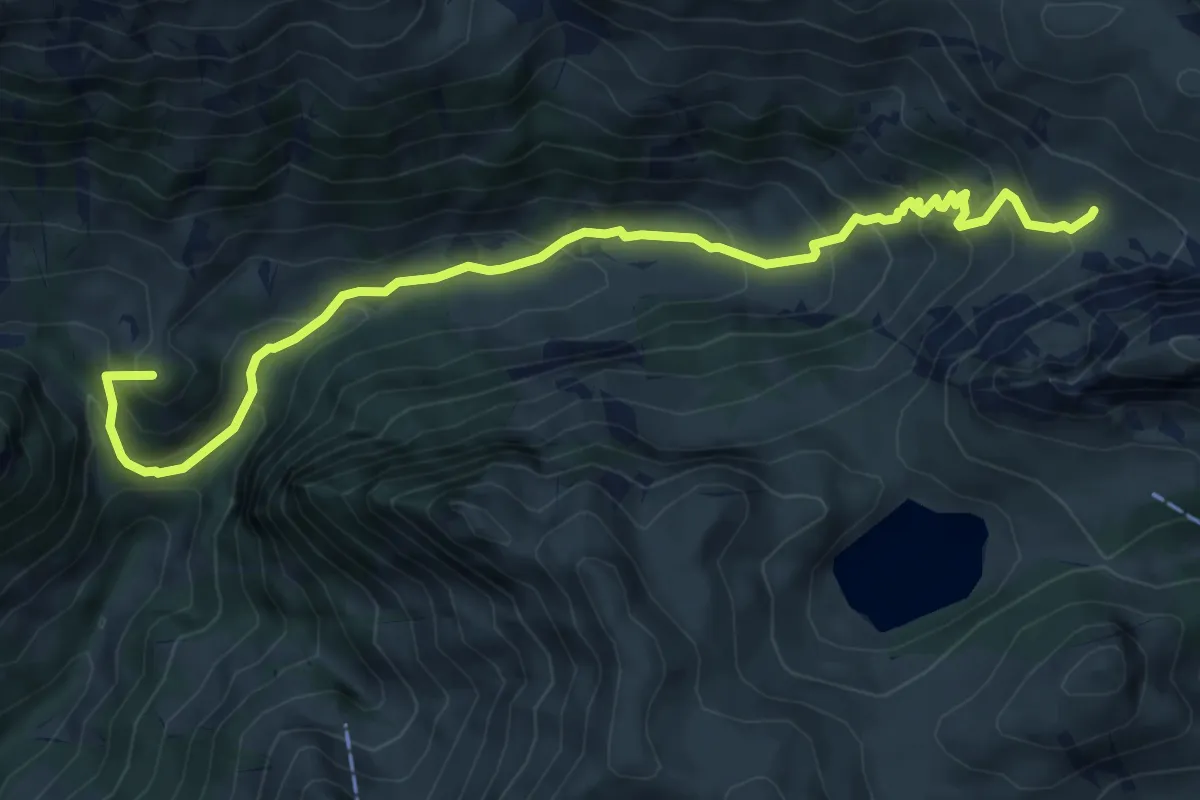
Medium · Summit
Obere Walalp – Leiterepass
8.2 km · ↑ 646 m · 3 h 20 min · 12 km away
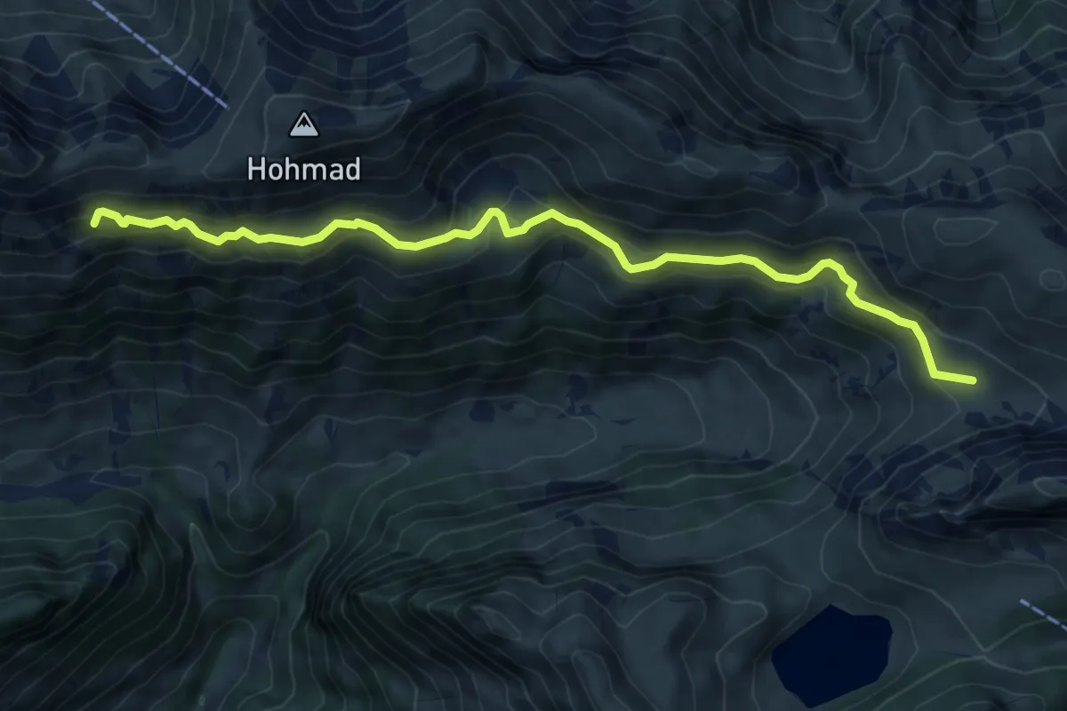
Medium · Trail
Obere Walalp – Schiterwang
8.0 km · ↑ 441 m · 2 h 50 min · 12 km away